Global Extreme Weather Log

- Details
- Category: News and Events
- Created on 11 August 2020
- Published on 11 August 2020
WEEKLY GLOBAL EXTREMES
(Article Mnager-news and events)
This page provides a weekly log of unique weather events and information that summarizes some key events of note. Most of the extreme notes are from Electroverse Extreme Weather daily updates.
For clips of these events see my Global Weather Album: Global Weather 2020-2021.
Global Weather Album 2020-2021: https://photos.app.goo.gl/bLyGGEv6oK6f7q9N8
Global Weather Album Spring 2021: https://photos.app.goo.gl/AXJDAGeKLrkcvLvM8
Global Weather Album Fall-Winter 2021-22: https://photos.app.goo.gl/7Vha3C3tKzmdDNyp7
Global Weather Album Winter 2022-23: https://photos.app.goo.gl/yMZB2gDoTbqLZzdQA
Global Weather Album Summer 2023: https://photos.app.goo.gl/rBprNqGzNmHBodKy8
Global Weather Album Fall - Winter 2023: https://photos.app.goo.gl/ZtfEjJRJ14eKVKpw6
Global Weather Album Winter 2024: https://photos.app.goo.gl/DdoiQp1TL7DGMC1B7
The purpose of these Global Extreme Weather Logs is to educate and inform you about Mother Nature’s way of keeping a balance in our planet’s weather. I provide examples of events that may not be reported elsewhere and physical explanations of the causes of these extremes.
15 April 2024
APRIL 2024 continues to have Spring’s normal extremes from warm comfortably hot weather to cold snowy bursts in areas prone to late season snows like the mountains and New England and the Alps. Last week’s severe weather was triggered by a deep storm (989 mb) that moved across the US from California to Quebec with a cold front extending from Canada to Florida and a low level jet from the Gulf injecting moisture along the front. This combination produced flooding and tornadoes from Louisiana to Georgia and northward. Note Montreal had its snowiest April since 2010 and snowfall is 200% of normal. Many of our US storms moved north this year triggering heavy snows in Ontario and Quebec . Alyeska Exceeds 700 Inches so far this season - quite high for this Alaskan ski area. The April 14, 2024 NRCS Snow Water Equivalents for the Colorado River Basin ran from 105 to 152% of normal.
A new rapidly developing storm has moved from California to the Dakotas today. This storm threatens to trigger heavy Front Range snows in the Rockies from Wyoming to Colorado, then set off severe weather again like last week across points east. Our wavy jet stream is still spinning up these storms from the Pacific to Europe.
Europe enjoyed a variety of spring conditions from rains and snows in the UK and Norway to clear warm skies over Slovenia. The Alps had some high elevation snow (29-91 cm) and the Carpathian Mountains of Romania had a 114 cm snow forecast. The Alps have had very heavy late snows. Slovenia and points south along the Croatian coast will have significant snows from16-20 April. Snow tires can be removed in Slovenia after April 15th ! Today’s temperature anomaly in the Middle-East is 2-4ºC above normal.
The Hindukush on the NW end of the Himalaya had 2 m while the Mt Everest massif had 1.5 m of heavy snow. India set its coldest day ever recorded April this week. India had a major April storm that closed roads and provided improvements to the water supplies.
The Antarctic is setting cold records as large areas are now below -70ºC. Sea Ice is increasing and the Ross and Wendell Seas are closed. Deep 948 to 960 mb storms continue to circle the Antarctic dumping 1-2 m of new snow. The Andes have continued to get 1-2 m over larger areas this week. New Zealand’s southern Alps are starting their snow season a bit early with 20 to 60 cm storms. Australia and South America are cooling as the sun moves northward.
You can see the magnitude of the storms on windy.com and in NOAA’s GOES satellite imagery: https://www.star.nesdis.noaa.gov/GOES/fulldisk_band.php?sat=G18&band=GEOCOLOR&length=12
Temperature anomalies are tucked on:
tropicaltidbits.com
see: https://www.tropicaltidbits.com/analysis/models/?model=gfs®ion=us&pkg=T2ma&runtime=2024021212&fh=6
See details below in CURRENT EXTREMES: 11 March 2024
The windy.com wave map shows the deep storms:
see: https://www.windy.com/-Waves-waves?waves,67.842,-1.230,3,i:pressure
Check out the albums below for detailed charts, satellite images, and observations:
Fall - Winter 2023:
https://photos.app.goo.gl/ZtfEjJRJ14eKVKpw6
Winter 2024: https://photos.app.goo.gl/DdoiQp1TL7DGMC1B7
Review:
Atmospheric Rivers dominate precipitation extremes in the Northern Hemisphere from Alaska to Greenland and Europe. These ARs are associated with intense cyclonic storms on the jet stream that dominate the weather. Recall tropical cyclones (hurricanes) and extratropical cyclones (Lows) and anticyclones (Highs) control our weather. Atmospheric River forecasts quantify the model computations of moisture flux from surface to 700 mb. This flux controls the duration and intensity of precipitation. Remember last winter when California had a record number of intense ARs that filled the “1000 yr“ drought’s reservoirs and extended Mammoth Mountain’s ski season into August 2023. Mammoth mountain is again accumulating heavy snows with a foot a day for 7 days in the last storm. California is drought free today as new ARs are pounding the coast again this winter triggering flash floods and debris flows in this saturated ground. The Colorado River Basin continues to benefit from these snowstorms from Colorado to Wyoming and Utah. Early season NRCS snow water equivalent SWE is running from 100 to 120% of normal.
NRCS Basin Data: https://nwcc-apps.sc.egov.usda.gov/imap/#version=169&elements=&networks=!&states=!&basins=!&hucs=&minElevation=&maxElevation=&elementSelectType=any&activeOnly=true&activeForecastPointsOnly=false&hucLabels=false&hucIdLabels=false&hucParameterLabels=true&stationLabels=&overlays=&hucOverlays=2&basinOpacity=75&basinNoDataOpacity=25&basemapOpacity=100&maskOpacity=0&mode=data&openSections=dataElement,parameter,date,basin,options,elements,location,networks&controlsOpen=true&popup=&popupMulti=&popupBasin=&base=esriNgwm&displayType=basinstation&basinType=6&dataElement=WTEQ&depth=-8¶meter=PCTMED&frequency=DAILY&duration=I&customDuration=&dayPart=E&monthPart=E&forecastPubDay=1&forecastExceedance=50&useMixedPast=true&seqColor=1&divColor=7&scaleType=D&scaleMin=&scaleMax=&referencePeriodType=POR&referenceBegin=1991&referenceEnd=2020&minimumYears=20&hucAssociations=true&relativeDate=-1&lat=43.728&lon=-104.797&zoom=5.0
Atmospheric River forecast by Marty Ralph’s team:
https://cw3e.ucsd.edu/iwv-and-ivt-forecasts/
An important component of the Grand Solar Minimum is an increase in clouds due to its impact on our solar system’s magnetosphere and increased numbers of deep space cosmic rays penetrating our upper atmosphere and generating cloud condensation nuclei. Clouds produce many complex phenomena ranging from cooling as solar radiation is reflected back to space, to surface warming as heat is retained at night and radiational cooling is reduced under stratus and in fog. On a large scale temperature gradients control the winds and jet stream dynamics. Clouds also impact the sea surface temperature SST which can have profound impacts on the Earth’s energy budget from the El Niño to Jet stream intensity and location. NASA is now predicting a solar maximum of cycle 25 by January 2024 with some CMEs. Note: current climate models fail to adequately simulate clouds; hence, a serious limit to their long term predictions. The primary critical impact of the GSM is late spring frosts and early fall frosts that limit the growing season. it is difficult for long term models to predict these critical events accurately.
Volcanic activity has increased dramatically in November 2023 with two stratovolcanoes pumping huge amounts of volcanic ash into the stratosphere in the northern Hemisphere from Kamchatka, and the tropics from New Guinea. Iceland’s seismic activity also increased significantly and resulted in a small volcanic eruption. Stratospheric volcanic dust from volcanoes cause significant atmospheric cooling. During the Little Ice Age there were many volcanoes associated with the Milankovitch Cycle that also contributed to the cooling. Japan had a devastating earthquake in the last weeks.
During the winter, low clouds can keep the polar regions warmer, thus reducing the N-S temperature gradient that may lead to a weaker jet stream and a meridional flow. This wavy N-S flow enhances the warm and cold sectors of storms and hence, extreme temperature swings. Thus far this winter we have a very wavy jet steam. Have a look at my album’s examples.
The El Niño continues to weaken yet it covers a large area; however, so far California is following the intense winter weather associated with an El Niño. The latest SST observations show cold water below the thin warm El Niño water, thus indicating the likelihood of a la Niña forming soon. NCAR scientists called for a severe winter. Thus far, the Ontario-Hudson Bay 700 mb low has been pulling cold air south into the East much like last winter. Note: the eastern N American low gyrates in the Jet, hence its impact varies. The West and High Plains are on the western edge of the deep cold air, hence, they have brief cold blasts and may benefit from the Pacific ARs heavy snow; however, they will enjoy somewhat warmer winter temperatures than the NE. The Sudden Stratospheric Warming - SSW was predicted to pull extremely cold air into the entire US by mid-January and again in February and March. This verified quite nicely in January - burr ! We’ll see how March goes. It would appear that CHINA and Asia have been hit the hardest with severe cold weather this season and are now warming.
Dr. Valentina Zharkova, a solar expert from the Ukraine, talks about the sun’s impact on the el Niño in her interview below. She reviews the Grand Solar Minimum and solar system impacts on climate variability.
Valentina Zharkova’s interview at the end of this link provides a comprehensive review of the GSM physics from an expert in this field. Dr. Zharkova reviews the physics, mathematics, and relationships of solar cycles, orbital mechanics, magnetosphere impacts, volcano cycles, and el Nino cycles related to the earth’s inclination…
https://electroverse.info/coldest-may-80n-greenland-gains-warmer-in-the-past-zharkova-interview/
Her primary web site: https://solargsm.com/
September recorded increases in SMB occurred +6 GT and +10 GT on 1 and 2 Sept respectively setting new records and again this week with 8-10 GT. The accumulated SMB curve dropped to normal in December-February and is now at or above normal. see:
http://polarportal.dk/en/greenland/surface-conditions/
and
https://www.windy.com/-New-snow-snowAccu?snowAccu,next3d,69.945,22.148,4,i:pressure,m:fDTafyg
The jet stream continues strong with a sharp meridional - wavy N-S flow from N America to Europe. Short waves trigger storms as they become more frequent and more powerful. Their wind shear can still spin up tornadoes in convective storms normally seen in spring and fall. Omega blocking ridges control the speed of system movement.
See:
https://www.windy.com/-Show---add-more-layers/overlays?awp_0_40,34.089,20.303,4,i:pressure,m:ff3agyK
see: http://polarportal.dk/en/greenland/surface-conditions/
Snow:
https://www.windy.com/-New-snow-snowAccu?snowAccu,next10d,74.902,-40.649,4,i:pressure,m:fOdadW1
Rain:
https://www.windy.com/-Rain-accumulation-rainAccu?rainAccu,next10d,51.944,-74.399,4,i:pressure
Japan and N Korea warmed a bit with 2-38 cm of snow on the mountains of N Korea and Japan respectively with record cold and snow.
TropicalTidbits.com (forecast models) also gives you a look at the temperature departures from normal associated with these storms. You can see the warm and cold sectors - the normal variations of global temperature.
The Himalayas had heavy snow on the peaks with most areas receiving 1-3 m. The Tibetan Plateau is high ~3-5 km msl with new snow from the Himalaya to Shan ranges. Total snow on the ground on 9/3/23 still ranged from 0.5 to 5 m. This high elevation massif is a major factor controlling global weather patterns. Its unusual snowfall this summer may have a significant impact. The Hindukusch have had significant snows of 0.5-2.0 m again this week. Delhi set cold records, northern India and Pakistan had record snows last week.
Southern hemisphere jet is intensifying as the sun marched north cooling the Antarctic. It is now driving several large deep storms (976 to 936 mb) circling the Antarctic. Antarctic still has large areas in the interior below -40 to -65º C as measured in Windy’s satellite surface temperatures - even this January was reporting below -40ºC - a year without summer. On 3 Sept the South Pole reported -74.9ºC (-102ºF) and -80ºC at Vostok… Last week as the Antarctic begins cooling into Fall. Vostok broke -50ºC in December and -60 in March. This week the temperature again fell below -100ºF. Howling blizzards are still circling the Antarctic coast with 30 to 50 kt winds near these storms. The Ross Sea and Weddell Sea are 95% and 100% sea Ice covered respectively. SEA ICE is now increasing rapidly. McMurdo Base has been quite cold at -19 to -25ºC setting records and grounding aircraft in September. Temperatures in the Antarctic are cooling, and remaining significantly below normal. This week McMurdo rose to -19º C. The Antarctic set a November record cold of -60ºC. December and now January are setting new cold summer records: On Jan 4, 2024, the minimums at Concordia, JASE2007 AWS and Vostok were all, once again, below -40C, coming in at -40.8C, -40.2C and -40.1C, respectively. The South Pole set its 3rd coldest March record at -60ºC this week.The sun is moving N, so the cold is settling in down under. South Georgia Island had snows reaching 53-76 cm this week.
Southern Africa set cold records and snow as deep cyclonic storms march across the South Atlantic pumping Antarctic Air northward. Even Madagascar and Reunion Island set new cold records and had some snow in October 2023. Record snow fell in late October 2023.
AUSTRALIA has had a variety of summer weather. Antarctic highs set new cold records in June and July and are continuing to set cold records. Sydney set a new cold summer record when it failed to reach 32ºC (89.6ºF) in December 2022. Australia’s Victoria and South Australia had some much below normal temperatures and cold records to -2.7ºC. Western Australia cooled as the Antarctic waves moved north. Frosts developed in Queensland and the NW Territories - in subtropical Australia! This week large areas of Australia continued to have heavy rain : Darwin 150-500 mm, N Queensland had 95-162 mm as tropical cyclones hit. However, much of Australia had significant rains: Canberra 50 mm. Alice Springs remained cool at 20-25 ºC. Normally we see 30 to 45ºC in the satellite surface temperatures on windy.com but Alice Springs remained in the 20s with a couple 40ºC days. The cloud top temperatures near Darwin were -80ºC in deep thunderstorms. Last week a major Antarctic cold front moved northward over Australia triggering heavy rains up to Alice Springs. Monthly cold records were set in March. Note: Jennifer Marohasy discusses Australian forecasts and observations every week.
JENNIFER MAROHASY’s latest: https://jennifermarohasy.com/2024/01/cyclone-jasper-bom-forecasting-getting-to-the-truth/
Note: 2023 was the first time since 1987 when Australia’s mountains had snow on the ground all year. The mean February temperature was 0.2ºC below normal making the summer mean temp 0.5ºC below normal. New Zealand continues to increase snows over the South Island with 20-70 cm and heavy rain at low elevations on the West coast 100-300 mm. Note: October 25-30, 2023 the interior of Australia had satellite surface temperatures from 10 to 31ºC - spring was here with a few cool highs. During the past weeks, February 1-26, it was much cooler followed by a few 30-40ºC days. Last week the deserts were 10-15ºC behind an Antarctic front. Last week the Snowy range had 11 cm - an early start to winter.
South America was warm, but cold fronts are predicted to take temperatures 5-10ºC below normal next week. The Andes continued to build their glaciers (1-2 m). South American snow was at record levels. Patagonia had significant snows and skiing in the Andes continued in November 2023. Surface temperatures reached 30ºC this week in Patagonia. Argentina and Brazil continue to be warm, yet, some Antarctic cold fronts have triggered thunderstorms and locally heavy rains (100-300 mm) in the South of Brazil by Iguazu Falls. The Iguazu region had heavy rains and floods in contrast to a record drought in the Amazon Basin. However, the past month had heavy rain in the upper headwaters of the Rio Negro and Amazon Rivers. Deep thunderstorms with top temperatures of -70 to -80ºC are helping mitigate the drought. These mesoscale convective complexes can dump 100-200+ mm. Rio and Sao Paulo had flash floods and have remained wet.
https://www.windy.com/-New-snow-snowAccu?snowAccu,next10d,-66.653,-60.776,4,i:pressure,m:NPaelA
For those interested in understanding the current weather, I have documented events in the Albums showing model, satellite, radar, images.
New 2/26/24
Winter 2024: https://photos.app.goo.gl/DdoiQp1TL7DGMC1B7
WSJ: How Climate Policy Went Wrong:
https://www.wsj.com/articles/how-climate-policy-went-wrong-new-aerosal-study-energy-subsidies-carbon-tax-4e437371?mod=opinion_lead_pos8
A new documentary on climate: Well worth viewing —
Climate: The Movie" highlights a different perspective on the climate change debate and is supported by scientists who have signed the Clintel's World Climate Declaration. This group of researchers seeks to present an alternative narrative in the face of the dominant discourse.
Electroverse provides an excellent source of extremes not reported in the MSM:
Latest Extremes: 15 April 2024
Alyeska Exceeds 700 Inches; Rare April Snow Hits Boise; Montreal’s Snowiest April Since 2010; Clearing Crews Reach Baralacha; Antarctica At -75.8C (-104.4F); + “There Is No Climate Emergency”
April 9, 2024 Cap Allon
Alyeska Exceeds 700 Inches
On Monday, April 8, Alaska‘s biggest ski resort Alyeska reached an impressive 706 inches of snow at the summit of Glacier Bowl Express.
The resort averages 650 inches (54 feet) in a seasonal.
Alaska is expecting additional spring dumpings in the coming days and weeks, lifting Alyeska’s totals even higher.
Across the state, 2023-23 snowfall continues to impress–not least in Anchorage which is edging ever closer to a seasonal record.
This winter’s totals at the NWS offices on Sand Lake Road (near Ted Stevens Anchorage International Airport) were measuring 130.5 inches as of last Friday, which is a mere 4 inches off the all-time record of 134.5 held by 2011-12.
This season already stands as the third snowiest on record, just 1.9 inches behind 1954-55:
Rare April Snow Hits Boise
The 2.1 inches of snow logged at the NWS office in Boise, Idaho late last week broke the April 5 record that had stood since 1929, when 0.5 inches accumulated.
Meteorologist Spencer Tangen said the snow was “very uncommon” for April. On average, it is only once every 12 years that Boise sees 2 inches in a single April day, he said.
Higher up, Bogus Basin Mountain Recreation Area posted a foot of fresh snow.
Montreal’s Snowiest April Since 2010
With 26.2 cm (10.3 inches) as of April 7, Montreal, Quebec is experiencing its snowiest April since 2010 (when 30 cm settled).
Already just a week in, Montreal’s April snow stands at 200% of the monthly norm.
Clearing Crews Reach Baralacha
Snow clearing efforts are ongoing across Northern India‘s mountain passes, hampered by a very snowy close to the season.
Crews have finally reach Baralacha, a key high mountain pass in the Zanskar range which connects Lahaul district in Himachal Pradesh to Leh district in Ladakh.
Antarctica At -75.8C (-104.4F)
Vostok is currently offline (it may well have colder there)… but making do with Concordia, another new seasonal low has been set on Antarctica.
On April 8, Concordia sank to -75.8C (-104.4F) at 15:39 UTC, continuing the continent’s slide back toward winter (data courtesy of climantartide.it).
“There Is No Climate Emergency” DR.WILLIAM HAPPER
This final section is intended for new readers. It covers William Happer’s talk at the National Leadership Seminar on Feb 19, 2021.
Dr. William Happer is an American physicist with over 200 published peer-reviews scientific papers. He is the Cyrus Fogg Brackett Professor of Physics, Emeritus at Princeton University, and has also worked for the U.S. government on two separate occasions: the first between 1991-1993, where he served as Director of Energy Research; the second between 2018-2019, where he was Depute Assistant to the President for Emerging Technologies at the National Security Council.
Below is a breakdown of that 2021 talk, including the slides Happer shared.
See Album for more details… or goto this site:
https://electroverse.info/alyeska-700-inches-rare-snow-in-boise-montreals-snowiest-winter-baralacha-antarctica-no-climate-emergency/
In both cases the takeaway message is that predicted warmings, which so many people are frantic about, are all grossly larger than the observed warming, which is shown by the red bars.
Yukon Snowpack Breaks Records; Early Snows Hit Australia’s Ski Fields; + It’s Still Snowing On Kilimanjaro, Al Gore Was Wrong
April 10, 2024 Cap Allon
Yukon Snowpack Breaks Records
The Yukon‘s April snowpack is at record-setting highs in the north.
The April snow survey, which typically represents peak snowpack, was released by the Yukon water resources branch Tuesday.
It reveals that snow for the Porcupine River basin is at 166% of the historical median — a new record for both that area and Old Crow. The basins for the Peel River and Lower Yukon are also comfortably above average — at 140% and 124%, respectively.
The snow is still coming down in these parts, and all.
Early Snows Hit Australia’s Ski Fields
The first snow of the year has fallen on Australian ski resorts in New South Wales and Victoria, ahead of schedule.
It’s largely been a cold and wet start to autumn down under, with a host of monthly low temperature records falling. That anomalous chill has now intensified into April, and is resulting in early-season snow coating Aussie ski fields.
Following a return to El Niño in 2023, another La Niña is now building, expected to have fully developed as early as August 2024. This will make for the fourth La Niña of the past five years — again, an expected pattern during times of global cooling.
And global cooling should indeed resume, particularly given a waning Solar Max and the diminishing aftereffects of Hunga-Tonga’s watery eruption. Temperatures should now return to early-2023 levels, i.e. back below actually baseline:
It’s Still Snowing On Kilimanjaro, Al Gore Was Wrong
In the year 2005, Al Gore announced that snow would disappear from Mt Kilimanjaro “within the decade”:
Today’s Arctic Sea Ice Extent Matches 1996; Snow Remains In Northern India; Germany Regrets Disbanding Nuclear Plants, It Was A “Mistake”; + 54 Spots
April 11, 2024 Cap Allon
Today’s Arctic Sea Ice Extent Matches 1996
Despite 830+ billion tonnes of carbon dioxide emissions over the last 28-years, Arctic sea ice extent, as of April 9, 2024 is the same as it was back in 1996:
https://electroverse.info/arctic-sea-ice-snow-india-germany-nuclear-woes-54-spots/
Reality has once again tripped the hucksters up, but nobody is being called to account.
The much prophesied “death spiral” is nowhere to be seen, the original “tipping point deadlines” have all passed us by. So, what do the pop-scientists do when proved catastrophically wrong? Admit defeat and draw up a new theory?
Snow Remains In Northern India
A reprieve in the storms has revealed piles of glistening snow around Shri Kedarnath dham (or ‘Kedarnath Temple‘).
Dedicated to Lord Shiva, Kedarnath is the eleventh of twelve Jyotirlingas of India (a devotional representation of the Hindu god Shiva).
Heavy spring snow has been hitting these parts in recent weeks, more than making up for what was a lackluster mid-winter — a theme which is playing across much of the northern hemisphere this March/April, not least the European Alps and North America.
Germany Regrets Disbanding Nuclear Plants, It Was A “Mistake”
Markus Krebber, CEO of German multinational energy company RWE AG, “one of the world’s leading companies for renewable energies and carbon neutral by 2040”, has admitted that nuclear closures were a mistake and that Germany will not recover the lost industry.
New EU regulations aim to tax methane emissions from lignite coal which RWE AG, as well as Germany as a whole, has apparently been radically underaccounting for in recent decades. According to the EU’s new math, Germany’s nuclear phase looks even more ill-advised than it already did, as it could have contributed hundreds of times more GHG to the atmosphere than previously thought.
Lignite coal, aka brown coal, is the lowest grade coal with the least concentration of carbon. Lignite has a low heating value and a high moisture content and is mainly used in electricity generation.
54 SpotsSolar activity remains low.
Today, April 11, just 54 sunspots pepper the Earth-facing solar disk.
AR3633 has a ‘beta-gamma’ magnetic field that harbors energy for M-class solar flares, but that’s about it.
Another Three Avalanche Deaths In The Alps; Indian State Suffers Coldest April Day On Record; The Arctic Was Warmer In The 1920s + “We Have 2 Years To Save The World,” Says UN Climate Change Executive Secretary
April 12, 2024 Cap Allon
Another Three Avalanche Deaths In The Alps
A major search and rescue operation is under way after another avalanche hit the Ötztal Alps in western Austria.
Three people have been killed, and a fourth has been taken to hospital, so report Austrian news outlets.
Following the heavy snows of recent weeks, the danger of avalanches across the Alps is very high, said Bernd Noggler, head of the local emergency services.
Rescue teams, dog teams and the Alpine police to the Ötztal slip, added Noggler, which measured 180m (600ft) by 80m (260ft) and occurred close to the Italian border in the province of Tyrol.
Police say 17 members of a Dutch ski group were in the area at the time, along with four local mountain guides. Four of the Dutch group were buried by the avalanche — two died before they could be rescued, a third died few hours later in hospital.
Earlier this week a 19-year-old German hiker died when he became caught up in an avalanche near Lake Achensee to the north-east of Innsbruck. Before that, three perished at Petit Combin, Switzerland when a big slide took out a helicopter (linked below).
Indian State Suffers Coldest April Day Ever Recorded
On Thursday, a number of locales in the eastern Indian state of Odisha experienced their coldest-ever April days, according to India Meteorological Department (IMD) data.
The likes of Angul, Titlagarh, Sambalpur, and Hirakud were among those to log their lowest-ever maximum temperature in the month of April, in books dating as far back as the 1920s.
As per the IMD data:
Titlagarh’s 24C (75.2F) smashed the previous record of 28.5C (83.3F) set on April 4, 2008 (with books dating back to 1952);
Sambalpur’s 25.7C (78.3F) equaled the previous low set April 7, 2018 (books also to 1952);
Hirakud’s 26.1C (79F) bested the ‘old’ low set just last year, on April 22, 2023 (data since 1973);
And Angul’s 26.7C (80.1F) beat the previous record by 1C, set April 6, 2008 (books extending to 1921).
You’ll note that each of the previous records were set relatively recently, jarring with the AGW Party’s theory of ‘forever hotter’. What this actually supports is the recent IITM study that found ‘cold wave days’ (when the temp reaches 10C or lower, or is 4.5C below an area’s average) are increasing across India, from 2-to-5 cold wave days per decade between 1951-2011, to almost 5-15 days in the last decade (ending 2021).
The Arctic Was Warmer In The 1920s
Courtesy of Chris Martz on X is this little nugget.
There’s a reason the doomsayers start their charts around 1980. Eyeing further back inevitably lays bare the natural, unalarming ebbs and flows of the climate system.
Speaking to Arctic temperatures, Martz’s analysis of the NOAA GHCNd dataset reveals it was hotter in the 1920s:
“We Have 2 Years To Save The World”
At Chatham House, London on April 10, UN Climate Change Executive Secretary Simon Stiell delivered a sales pitch to global leaders.
Stiell, known hereinafter as ‘Spiel’, warned that countries “will only be able to implement strong new climate plans if we see a quantum leap in climate finance this year,” with “each country’s climate responses key to whether they rise up the ladder or fall … whether they thrive or barely survive.”
Spiel’s flagrant panhandling is only outdone by his ridiculous date for Judgement Day: “Two years to save the world” are the opening lines of his speech, a window that Spiel himself admits some may find “overly dramatic. Melodramatic, even”.
8 April 2024
Spring is living up to its reputation of dangerously beautiful as severe weather - over 55 tornadoes hit last week - and beautiful flowers emerged in warm regions. Today has a total solar eclipse from Texas to Vermont. It’s the last such event for 40 years, so millions are watching this. Nature's events such as the eclipse have a way of humbling us and transcending political, social and racial barriers.
Colorado’s April 6th storm again kicked off severe weather from Texas to Pennsylvania along a cold front that pulled cold air into Florida. On 4/5/24 the a winter storm developed from the Mexican border to Canada as a deep jet stream trough dipped to San Diego and dumped late season rain and snow into California and the LA Basin - very unusual. Rains normally stop there in early March. While most of this week was warm and dry in the Rockies with low humidities and high winds sublimating much of our snowpack, the weekend brought a complex storm with rain, snow hail, and high winds. However, on April 2-6 from Minnesota to northern New England significant spring snow 10-25 inches fell again after last week’s storm. Winter is late this year!! Yet Alta Utah set a 600+ inch accumulated snowfall this year - the second consecutive year above 600 inches. Note the 2-6 April system (990 mb) triggered the extremely severe weather centered in Kentucky.
Europe had series of storms (953 mb) that even produced snow in Spain and the UK. The high ALPS picked up new snow 50-150 cm and Kredarica observatory’s snow depth reached 385 cm - 30 cm above normal. However, mean temperatures in LJU and KRE were ~ 2º C above normal for March. Scandinavia remained cold after a brief warming and set records. St Petersburg may set an April cold record after a warm (14ºC) week.
Western North America again had heavy snow from Alaska to the Sierra with 1-2 m in the north and .1 to .5 m in the south. Another deep 973 mb storm was centered over the Gulf of Alaska, while a 1040 mb high developed over the mid-Pacific from California to Japan. Svalbard remained ice locked on the N coast. Temperatures in eastern Siberia fell back into the -20s ºC. Sweden and Norway set new cold April records.
The southern hemisphere storms remained active with the southern Andes picking up 1-4 m of new snow. Their summer snows continued as they moved into fall. The glaciers should be growing in many areas. The Antarctic continues to have deep storms 948 to 976 mb circling it with 40 to 50 kt blizzards dumping 1-2 m of new snow too, along the coastal mountains. Australia had some snow in the Snowy Range again, as New Zealand’s Alps had 0-40 cm. The rain forests picked up 400-900 mm. Australia continued wet too, with wide-spread rains of 110-230 mm. Brisbane had its coldest March day in 25 years. A good start to winter down under…
China warmed we’ll see how the crop planting goes. Eastern Asia has had very cold conditions this winter. This balances the warmth in the West. India and Pakistan also set cold and snowfall records in March. Physics dictates a balance and ultimate equilibrium.
Antarctica is rapidly cooling with -70s ºC covering large areas. The Ross and Waddell Sea Ice is closing in with 85-99% covered. A deep 951 mb low sat over the Ross Sea pumping 5 m waves into the ice. Heavy snow continues on the coastal mountains as deep 940-970 mb storms circle the coast. The Andes also continued their heavy snows with 2-3 m storms. The glaciers failed to recede much this season, and probably grew.
The Southern Hemisphere continued its march into fall as deep 946 to 970 mb storms circled the Antarctic dumping 1-2 m of new snow and the Andes picked up 2-3 m. New Zealand began March with some significant snow on the Southern Alps and heavy rains continued in the rainforests and even in the deserts of Australia. It continues to be a relatively wet year for Australia in many areas. Sydney had heavy 100-300 mm rains this week.
You can see the magnitude of the storms on windy.com and in NOAA’s GOES satellite imagery: https://www.star.nesdis.noaa.gov/GOES/fulldisk_band.php?sat=G18&band=GEOCOLOR&length=12
Temperature anomalies are tucked on:
tropicaltidbits.com
see: https://www.tropicaltidbits.com/analysis/models/?model=gfs®ion=us&pkg=T2ma&runtime=2024021212&fh=6
See details below in CURRENT EXTREMES: 11 March 2024
The windy.com wave map shows the deep storms:
see: https://www.windy.com/-Waves-waves?waves,67.842,-1.230,3,i:pressure
Check out the albums below for detailed charts, satellite images, and observations:
Fall - Winter 2023:
https://photos.app.goo.gl/ZtfEjJRJ14eKVKpw6
Winter 2024: https://photos.app.goo.gl/DdoiQp1TL7DGMC1B7
Review:
Atmospheric Rivers dominate precipitation extremes in the Northern Hemisphere from Alaska to Greenland and Europe. These ARs are associated with intense cyclonic storms on the jet stream that dominate the weather. Recall tropical cyclones (hurricanes) and extratropical cyclones (Lows) and anticyclones (Highs) control our weather. Atmospheric River forecasts quantify the model computations of moisture flux from surface to 700 mb. This flux controls the duration and intensity of precipitation. Remember last winter when California had a record number of intense ARs that filled the “1000 yr“ drought’s reservoirs and extended Mammoth Mountain’s ski season into August 2023. Mammoth mountain is again accumulating heavy snows with a foot a day for 7 days in the last storm. California is drought free today as new ARs are pounding the coast again this winter triggering flash floods and debris flows in this saturated ground. The Colorado River Basin continues to benefit from these snowstorms from Colorado to Wyoming and Utah. Early season NRCS snow water equivalent SWE is running from 100 to 120% of normal.
NRCS Basin Data: https://nwcc-apps.sc.egov.usda.gov/imap/#version=169&elements=&networks=!&states=!&basins=!&hucs=&minElevation=&maxElevation=&elementSelectType=any&activeOnly=true&activeForecastPointsOnly=false&hucLabels=false&hucIdLabels=false&hucParameterLabels=true&stationLabels=&overlays=&hucOverlays=2&basinOpacity=75&basinNoDataOpacity=25&basemapOpacity=100&maskOpacity=0&mode=data&openSections=dataElement,parameter,date,basin,options,elements,location,networks&controlsOpen=true&popup=&popupMulti=&popupBasin=&base=esriNgwm&displayType=basinstation&basinType=6&dataElement=WTEQ&depth=-8¶meter=PCTMED&frequency=DAILY&duration=I&customDuration=&dayPart=E&monthPart=E&forecastPubDay=1&forecastExceedance=50&useMixedPast=true&seqColor=1&divColor=7&scaleType=D&scaleMin=&scaleMax=&referencePeriodType=POR&referenceBegin=1991&referenceEnd=2020&minimumYears=20&hucAssociations=true&relativeDate=-1&lat=43.728&lon=-104.797&zoom=5.0
Atmospheric River forecast by Marty Ralph’s team:
https://cw3e.ucsd.edu/iwv-and-ivt-forecasts/
An important component of the Grand Solar Minimum is an increase in clouds due to its impact on our solar system’s magnetosphere and increased numbers of deep space cosmic rays penetrating our upper atmosphere and generating cloud condensation nuclei. Clouds produce many complex phenomena ranging from cooling as solar radiation is reflected back to space, to surface warming as heat is retained at night and radiational cooling is reduced under stratus and in fog. On a large scale temperature gradients control the winds and jet stream dynamics. Clouds also impact the sea surface temperature SST which can have profound impacts on the Earth’s energy budget from the El Niño to Jet stream intensity and location. NASA is now predicting a solar maximum of cycle 25 by January 2024 with some CMEs. Note: current climate models fail to adequately simulate clouds; hence, a serious limit to their long term predictions. The primary critical impact of the GSM is late spring frosts and early fall frosts that limit the growing season. it is difficult for long term models to predict these critical events accurately.
Volcanic activity has increased dramatically in November 2023 with two stratovolcanoes pumping huge amounts of volcanic ash into the stratosphere in the northern Hemisphere from Kamchatka, and the tropics from New Guinea. Iceland’s seismic activity also increased significantly and resulted in a small volcanic eruption. Stratospheric volcanic dust from volcanoes cause significant atmospheric cooling. During the Little Ice Age there were many volcanoes associated with the Milankovitch Cycle that also contributed to the cooling. Japan had a devastating earthquake in the last weeks.
During the winter, low clouds can keep the polar regions warmer, thus reducing the N-S temperature gradient that may lead to a weaker jet stream and a meridional flow. This wavy N-S flow enhances the warm and cold sectors of storms and hence, extreme temperature swings. Thus far this winter we have a very wavy jet steam. Have a look at my album’s examples.
The El Niño continues to weaken yet it covers a large area; however, so far California is following the intense winter weather associated with an El Niño. The latest SST observations show cold water below the thin warm El Niño water, thus indicating the likelihood of a la Nina forming soon. NCAR scientists called for a severe winter. Thus far, the Ontario-Hudson Bay 700 mb low has been pulling cold air south into the East much like last winter. Note: the eastern N American low gyrates in the Jet, hence its impact varies. The West and High Plains are on the western edge of the deep cold air, hence, they have brief cold blasts and may benefit from the Pacific ARs heavy snow; however, they will enjoy somewhat warmer winter temperatures than the NE. The Sudden Stratospheric Warming - SSW was predicted to pull extremely cold air into the entire US by mid-January and again in February and March. This verified quite nicely in January - burr ! We’ll see how March goes. It would appear that CHINA and Asia have been hit the hardest with severe cold weather this season and are now warming.
Dr. Valentina Zharkova, a solar expert from the Ukraine, talks about the sun’s impact on the el Niño in her interview below. She reviews the Grand Solar Minimum and solar system impacts on climate variability.
Valentina Zharkova’s interview at the end of this link provides a comprehensive review of the GSM physics from an expert in this field. Dr. Zharkova reviews the physics, mathematics, and relationships of solar cycles, orbital mechanics, magnetosphere impacts, volcano cycles, and el Nino cycles related to the earth’s inclination…
https://electroverse.info/coldest-may-80n-greenland-gains-warmer-in-the-past-zharkova-interview/
Her primary web site: https://solargsm.com/
September recorded increases in SMB occurred +6 GT and +10 GT on 1 and 2 Sept respectively setting new records and again this week with 8-10 GT. The accumulated SMB curve dropped to normal in December-February and is now at or above normal. see:
http://polarportal.dk/en/greenland/surface-conditions/
and
https://www.windy.com/-New-snow-snowAccu?snowAccu,next3d,69.945,22.148,4,i:pressure,m:fDTafyg
The jet stream continues strong with a sharp meridional - wavy N-S flow from N America to Europe. Short waves trigger storms as they become more frequent and more powerful. Their wind shear can still spin up tornadoes in convective storms normally seen in spring and fall. Omega blocking ridges control the speed of system movement.
See:
https://www.windy.com/-Show---add-more-layers/overlays?awp_0_40,34.089,20.303,4,i:pressure,m:ff3agyK
see: http://polarportal.dk/en/greenland/surface-conditions/
Snow:
https://www.windy.com/-New-snow-snowAccu?snowAccu,next10d,74.902,-40.649,4,i:pressure,m:fOdadW1
Rain:
https://www.windy.com/-Rain-accumulation-rainAccu?rainAccu,next10d,51.944,-74.399,4,i:pressure
Japan and N Korea armed a bit with 2-38 cm of snow on the mountains of N Korea and Japan respectively with record cold and snow.
TropicalTidbits.com (forecast models) also gives you a look at the temperature departures from normal associated with these storms. You can see the warm and cold sectors - the normal variations of global temperature.
The Himalayas had heavy snow on the peaks with most areas receiving 1-3 m. The Tibetan Plateau is high ~3-5 km msl with new snow from the Himalaya to Shan ranges. Total snow on the ground on 9/3/23 still ranged from 0.5 to 5 m. This high elevation massif is a major factor controlling global weather patterns. Its unusual snowfall this summer may have a significant impact. The Hindukusch have had significant snows of 0.5-2.0 m again this week. Delhi set cold records, northern India and Pakistan had record snows last week.
Southern hemisphere jet is intensifying as the sun marched north cooling the Antarctic. It is now driving several large deep storms (976 to 936 mb) circling the Antarctic. Antarctic still has large areas in the interior below -40 to -65º C as measured in Windy’s satellite surface temperatures - even this January was reporting below -40ºC - a year without summer. On 3 Sept the South Pole reported -74.9ºC (-102ºF) and -80ºC at Vostok… Last week as the Antarctic begins cooling into Fall. Vostok broke -50ºC in December and -60 in March. This week the temperature again fell below -100ºF. Howling blizzards are still circling the Antarctic coast with 30 to 50 kt winds near these storms. The Ross Sea and Weddell Sea are 95% and 100% sea Ice covered respectively. SEA ICE is now increasing rapidly. McMurdo Base has been quite cold at -19 to -25ºC setting records and grounding aircraft in September. Temperatures in the Antarctic are cooling, and remaining significantly below normal. This week McMurdo rose to -19º C. The Antarctic set a November record cold of -60ºC. December and now January are setting new cold summer records: On Jan 4, 2024, the minimums at Concordia, JASE2007 AWS and Vostok were all, once again, below -40C, coming in at -40.8C, -40.2C and -40.1C, respectively. The South Pole set its 3rd coldest March record at -60ºC this week.The sun is moving N, so the cold is settling in down under. South Georgia Island had snows reaching 53-76 cm this week.
Southern Africa set cold records and snow as deep cyclonic storms march across the South Atlantic pumping Antarctic Air northward. Even Madagascar and Reunion Island set new cold records and had some snow in October 2023. Record snow fell in late October 2023.
AUSTRALIA has had a variety of summer weather. Antarctic highs set new cold records in June and July and are continuing to set cold records. Sydney set a new cold summer record when it failed to reach 32ºC (89.6ºF) in December 2022. Australia’s Victoria and South Australia had some much below normal temperatures and cold records to -2.7ºC. Western Australia cooled as the Antarctic waves moved north. Frosts developed in Queensland and the NW Territories - in subtropical Australia! This week large areas of Australia continued to have heavy rain : Darwin 150-500 mm, N Queensland had 95-162 mm as tropical cyclones hit. However, much of Australia had significant rains: Canberra 50 mm. Alice Springs remained cool at 20-25 ºC. Normally we see 30 to 45ºC in the satellite surface temperatures on windy.com but Alice Springs remained in the 20s with a couple 40ºC days. The cloud top temperatures near Darwin were -80ºC in deep thunderstorms. Today, a major Antarctic cold front is moving northward over Australia triggering heavy rains up to Alice Springs. Monthly cold records were set in March. Note: Jennifer Marohasy discusses Australian forecasts and observations every week.
JENNIFER MAROHASY’s latest: https://jennifermarohasy.com/2024/01/cyclone-jasper-bom-forecasting-getting-to-the-truth/
Note: 2023 was the first time since 1987 when Australia’s mountains had snow on the ground all year. The mean February temperature was 0.2ºC below normal making the summer mean temp 0.5ºC below normal. New Zealand continues to increase snows over the South Island with 20-70 cm and heavy rain at low elevations on the West coast 100-300 mm. Note: October 25-30, 2023 the interior of Australia had satellite surface temperatures from 10 to 31ºC - spring was here with a few cool highs. During the past weeks, February 1-26, it was much cooler followed by a few 30-40ºC days. Today the deserts were 10-15ºC behind an Antarctic front. This week the Snowy range has 11 cm - an early start to winter.
South America was warm, but cold fronts are predicted to take temperatures 5-10ºC below normal next week. The Andes continued to build their glaciers (1-2 m). South American snow was at record levels. Patagonia had significant snows and skiing in the Andes continued in November 2023. Surface temperatures reached 35ºC this week in Patagonia. Argentina and Brazil continue to be warm, yet, some Antarctic cold fronts have triggered thunderstorms and locally heavy rains (100-300 mm) in the South of Brazil by Iguazu Falls. The Iguazu region had heavy rains and floods in contrast to a record drought in the Amazon Basin. However, the past weeks had heavy rain in the upper headwaters of the Rio Negro and Amazon Rivers. Deep thunderstorms with top temperatures of -70 to -80ºC are helping mitigate the drought. These mesoscale convective complexes can dump 100-200+ mm. Rio and Sao Paulo had flash floods and have remained wet.
https://www.windy.com/-New-snow-snowAccu?snowAccu,next10d,-66.653,-60.776,4,i:pressure,m:NPaelA
For those interested in understanding the current weather, I have documented events in the Albums showing model, satellite, radar, images.
New 2/26/24
Winter 2024: https://photos.app.goo.gl/DdoiQp1TL7DGMC1B7
WSJ: How Climate Policy Went Wrong:
A new documentary on climate: Well worth viewing —
"Climate: The Movie" highlights a different perspective on the climate change debate and is supported by scientists who have signed the Clintel's World Climate Declaration. This group of researchers seeks to present an alternative narrative in the face of the dominant discourse.
Electroverse provides an excellent source of extremes not reported in the MSM:
Latest Extremes: 7 April 2024
USHCN Data Tampering; Saint Petersburg Swing; Colder-Than-Average March At Vostok; Another Step Towards La Niña; + Solar Quiet
April 2, 2024 Cap Allon
USHCN Data Tampering
“There is overwhelming evidence of fraud in NOAA and NASA’s handling of climate data,” so says researcher Tony Heller.
Government agencies, in their overlording wisdom, deem it necessary to ‘adjust’ the raw thermometer data.
More than that, at least one-third of USHCN weather stations have been decommissioned, yet the likes of NOAA still use their ‘phantom data’ in their analysis (see link below).
As meteorologist John Shewchuk writes on X, “by 2020, NOAA was fabricating temperature data for more than 40% of all USHCN stations.”
Heller elaborates: “If a USHCN station doesn’t report any data during a particular month, NOAA fabricates a temperature using a computer model. They have been losing a lot of stations since 1990, and now almost half their ‘final adjusted’ data is fake. It doesn’t come from a thermometer.”
https://electroverse.info/ushcn-tampering-petersburg-swing-cold-vostok-la-nina-solar-quiet/
These ‘tweakings’ work to turn an entirely unalarming trend (a cooling trend since the 1930s) into a warming one, a “disastrous” trend that requires government intervention and a dramatic lowering of living standards across the West:
“U.S. temperature trends reported by NOAA bear no resemblance to the thermometer data they are derived from,” continues Heller. “The fake warming trend is then published without any warnings or disclaimers … [to be] used by journalists, academics and the press.”
Tellingly, these fantastical fudgings closely track the increase in carbon dioxide (below graph).
The data are being altered to match the CO2 theory, so it would appear:
We’re told America is heating uncontrollably, that summers will soon become unbearably hot. However, there is zero indication of this in the raw USHCN data. As per the untouched and dutifully logged readings, 1) the 1930s dust bowl era still rules supreme, and 2) summers (Julys in this instance) have been trending cooler since 1895:
Again, a warming trend only emerges after the station data is passed through NOAA’s tax-payer-funded discombobulation machine, ‘adjustments’ that the agency openly admit to but claim are necessary “to improve data quality”:
Saint Petersburg Swing
From the balmy 14.5C (58.1F) enjoyed over the weekend, temperatures in the Russian city of Saint Petersburg are about to crash back down below freezing, with April snow potentially settling.
Tuesday will see the return of the cold, with a Tmax of around 6C expected. An intensification will then play out Wednesday, dropping the mercury to 0C (32F) for many, with perhaps -5C (23F) registered north of Leningrad Oblast (region).
This “invasion of Arctic air”, as hmn.ru reports it, will combine with a weather system to deliver heavy precipitation to many, and in the form of snow to some.
Overnight lows are forecast to drop to approx. -10C (14F), exceptionally cold for the time of year.
Similarly to the west, across Scandinavia, descending polar cold will send thermometers crashing here and all.
Extreme readings of -30C (-22F) will strike the likes of Finland and Norway, threatening spring records:
Colder-Than-Average March At Vostok
The monthly temperature data for the South Pole Station came in yesterday, revealing that March 2024 was -1.1C below the multidecadal baseline. Now we have the data for Vostok.
Similarly, the preliminary average for Vostok last month has come in at -58.8C (-73.8F), which makes for a reading 0.9C below the 1958-to-date average (of -57.9C/-72.2F).
Antarctic continues to cool, the data are clear on that.
Another Step Toward La Niña
The Niño 1+2 Index off the west coast of South America (near Peru and Ecuador) just reached -0.80C below average.
This is the coolest value since January 2023, and marks a noteworthy progression back toward La Niña.
La Niña coupling with a positive AMO is setting the stage for a very active Atlantic hurricane season.
Every honest take on hurricane data paints the same picture — no trend.
Here we have yet another study, published in Springer, that comes to that same unalarming conclusion.
“Hurricane and major hurricane landfall counts exhibited no significant overall trend over 167 years of available data, nor did accumulated cyclone energy over the continental USA over 119 years of available data,” states the paper.
“Storm energy data 1900–2018 over land were also analyzed. The trend was again zero. … Atlantic basin all storms and major storms (1950–2018) did not exhibit any trend over the whole period or after 1990. Major storms 1950–1989 exhibited a significant downward trend.”
The alarmist claim that “increasing CO2 emissions are leading to more frequent and intense hurricanes” grows evermore absurd.
Sweden Sets Coldest April Temperature; Swiss Avalanche Kills 3; Utah Snowpack At 132%, California Defies The ‘Experts’; Anchorage Only 6.3″ Away From All-Time Record; + 35 Sunspots
April 3, 2024 Cap Allon
Sweden Sets Coldest April Temperature
This week, exceptionally low temperatures have gripped all of Fennoscandia — a peninsula in Europe which includes Scandinavia, Kola, Finland, and Karelia.
Following a historically cold winter, the likes of Sweden, Norway and Finland are still posting sub -30C readings.
The official thermometer in Nikkaluokta, Sweden dipped to -34.1C (-29.4F) on Wednesday morning, marking 1) a new monthly record at the station, pipping the previous record of -34C (-29.2F) set in 1955, and 2) –more impressively– a new national low for the month of April.
Historic cold extended to Finland, and all (as forecast yesterday).
As per a recent X post by @meteorologit (embedded below), Wednesday’s -34.3C (-29.7F) in Savukoski Tulppio marked the coldest temperature in the municipality of Salla since 1977’s -34.5C (-30.1F).
While across Finland, locales were busy breaking April benchmarks, including Sodankylä Lokka (-32.8C/-27F), Inari Väylä (-29C/-20.2F) and Inari Saariselkä (-25.8C/-14.4F).
Further south –namely across the Alps— Europe’s tremendous late-season snow is persisting, intensifying even. Below is a shot of Monte Moro, located on the Swiss-Italian border, showing its ski lift all-but buried under a whopping 4+m (13+ft) of snow.
Utah Snowpack At 132%…
Utah’s statewide snowpack currently stands at 132% of the 30 year norm, with another big storm due later this week. This is great news, no matter the AGW spin — western states see as much as 75% of their water supplied by snowmelt.
Utah Division of Water Resources reports that the state’s pack is above normal for most regions: “Our reservoirs remain high at an average 82% capacity due to 2023’s incredible snowpack and prudent water management. Usually, they are around 53% this time of year.”
Above-average snowpack is also cause for celebration for the ski fields.
Following last season’s all-time record-busting totals, Alta will post a rare second-consecutive year of 600+ inches, while Snowbird now stands at 524 inches, Brighton at 526 inches, and Solitude at 506 inches
And, as mentioned above, quite a bit more snow is on the way:
…
California Defies The ‘Experts’
California Department of Water Resources (DWR) has announced that the April 1 snow survey at Phillips Station –widely regarded as the key measuring day of the year as it records peak snowpack– stood at 113% of average.
This latest report comes on the heels of last year’s jaw-dropper, which, despite the mainstream scientific consensus calling for another year of drought, revealed a near record amount of rain and snow fell across the state.
Last year’s April 1 survey showed snowpack at 221%, with the statewide pack at 237% of the norm.
During “the hottest year eva!” Califronia didn’t restrict any water usage, ski resorts lasted all the way into August, and by November the entire state had become drought free for the first time in many moons–despite establishment caterwaulings of “1,200-year mega-drought”.
Worries turned to what would surely be a dry 2024, and ‘expert’ testimony called for the resumption of the mega-drought. However, these fears have also been assuaged owing to a multi-month-long barrage of late-season storms.
Still, even as the April 1 survey was about to be conducted, water experts weren’t convinced that California would have met the crucial 100% snowpack benchmark. But the official Phillips Station measurement revealed that the state, for the or the second year in a row, has exceeded snowpack expectations.
“It’s great news that the snowpack was able to catch up in March from a dry start this year. This water year shows once again how our climate is shifting, and how we can swing from dry to wet conditions within a season,” said DWR Director Karla Nemeth in a statement Tuesday, desperate to crowbar some bad news into what is unambiguously great news (and to save some face).
“These swings make it crucial to maintain conservation while managing the runoff. Variable climate conditions could result in less water runoff into our reservoirs. 100 percent snowpack does not mean 100 percent runoff. Capturing and storing what we can in wetter years for drier times remains a key priority.”
New Zealand’s Record-Cold March; Antarctica; Rare April Snow To Dust Bay Area Peaks; More Snow For The Midwest/Northeast; + Scandinavia Extends Spell Of Historic April Cold, As Europe’s Mountain Snow Breaks Records
April 4, 2024 Cap Allon
New Zealand’s Record-Cold March
March was a cold one across New Zealand.
More than 25 locations experienced record or near-record low mean temperatures for March, according to the National Institute of Water and Atmospheric Research (NIWA), with 28 locations setting records for overnight minimum temperatures.
The cooler month was “driven by a double-barrel low pressure anomaly south and east of New Zealand working in tandem with a high pressure area in the Tasman Sea to produce a southwesterly wind flow anomaly across the country,” explained NIWA.
Overall, and despite the rug-swept Urban Heat Island effect, last month saw a mean temperature of 14.8C (58.6F) across New Zealand, which was 0.99C below the multidecadal average and made for the country’s coldest March since 2012.
Antarctica
Another yearly temperature low has been set on Antarctica.
On April 4, -74.2C (-101.6F) was posted by Dome Fuji AWS, besting the previous mark of -73.4C (-100.1F) set March 31 at Concordia.
Most puzzlingly for the AGW Party, the Antarctic continent continues to cool, has been for decades — the data are clear on that.
And regarding Sea Ice Extent, there is currently substantially more ice around Antarctica than there was in 1980:
Also –somewhat crowbarred, I’ll admit– the 2017 study ‘Harmonic Analysis of Worldwide Temperature Proxies for 2000 Years‘ is an interesting read.
This Germany-based study finds the sun to be the main driver of the climate, responsible for the great climate optima of the past, such as the Medieval and Roman (and the current optimum), as well as past spells of cooling, such as the Little Ice Age.
“To get more insight on a solar link with climate cycles we compared by wavelet analysis the temperatures of Pet with the production rate of the cosmogenic nuclides 14C and 10Be of Stei over 9000 years. The upper and middle panel of Fig. 4 (below) show similarities in the power of the ~190 – year period over 9000 years, thus confirming earlier findings of Knudsen et al.“
https://benthamopen.com/FULLTEXT/TOASCJ-11-44.
Rare April To Snow To Dust Bay Area Peaks
A low-pressure system, accompanied by record April cold, is expected to move from the Canadian border Wednesday afternoon to just offshore San Francisco by Thursday morning. High temperatures were expected to some 20F below normal.
The big temperature drop is forecast to deliver the Bay Area (and wider California) its coldest day in years.
The freezing level is expected drop as low as 2,000 feet Thursday night.
Accompanying the cold will be rare April snow. Accumulations are possible as low as 1,500 feet Thursday night into Friday morning. The heaviest falls are expected to be Thursday morning above 3,500 feet, with another round of moderate snow on the cards Thursday night to even lower elevations.
Mount Hamilton near San Jose–for example–averages 2.3 inches of snow in April, but this storm could drop more than double that. Likewise, Mount Umunhum could see a dusting. So too could stretches of the Mayacamas Mountains.
Scandinavia Extends Spell Of Historic April Cold…
Initially impressive, northern Europe’s cold is now proving historic.
As reported yesterday, Nikkaluokta, Sweden dipped to -34.1C (-29.4F) on Wednesday morning, marking 1) a new monthly record at the station, pipping the previous record of -34C (-29.2F) from 1955, and 2) a new national low for the month of April.
History-setting cold hasn’t just been confined to Sweden; neighboring Norway has gone and posted a record-stretch of spring chills this morning.
Thursday, April 4 made for Cuovddatmokki’s fourth consecutive sub -25C (-13F) reading in a row (see below), which has only previously occurred during the Aprils of 1977 and 1971.
Looking ahead, the northern Norwegian settlement, located in Finnmark, has a good shot of making the top spot its own tomorrow as another -25C low is in offing, according to latest forecasts.
…
As Europe’s Mountain Snow Breaks Records
The spring snow continues to build across Europe’s higher elevations, including the Alps.
Below is a look at Formazza, Italy, which is now felling records:
April Nor’Easter Drops Feet Of Snow; 600,000 Lose Power As ‘Spring’ Storm Batters Quebec; Avalanche Hits Helicopter In The Alps, Killing 3; Scandinavia Breaks Historic Low Temperature Stretch; + Professor Exposes NASA’s ‘Massive Retrospective Temperature Adjustments’
April 5, 2024 Cap Allon
April Nor’Easter Drops Feet Of Snow
A major storm, responsible for dumping feet of snow, left some 700,000 homes and businesses in the Northeast without power on Thursday. Multiple deaths have also been reported, from vehicle cashes and falling trees.
Even now, into Friday morning, hundreds-of-thousands remain without power–mostly in Maine and New Hampshire. Utilities here say they were prepared for the storm but that power restoration could still be lengthy.
“Our crews are responding to widespread tree damage across our service area,” reads a statement by Central Maine Power on its website, which adds that majority of the damage was caused by “more than a foot of heavy, wet snow and strong winds.”
Alta Posts Rare Back-To-Back 600+ Inch Winters; Indian Army Rescues 80 Trapped By Spring Snowfall; Remarkable Antarctic Sea Ice Recovery; + What Were NOAA Thinking?
April 8, 2024 Cap Allon
Alta Posts Rare Back-To-Back 600+ Inch Winters
For the first time in 15 years, Alta Ski Resort, Utah has recorded consecutive winters of 600+ inches of snow.
Last winter saw record-smashing snowfall hit Western U.S. mountains and resorts, including those in Utah — the biggest snow years on record in fact were noted across at least 20 resorts, including Alta which surpassed 900 inches (75 feet).
The 2023-24 season got off to a slower start, but since January snow has actually rivaled the historic season of last.
Another storm this past weekend dropped an even 2 feet on Alta, taking the seasonal total to an impressive 608 inches — the first time the ski area has posted back-to-back 600+ winters since 2008-09 (during the deep minimum of weak Solar Cycle 23).
Indian Army Rescues 80 Trapped By Spring Snowfall
Some 80 people have been rescued after being stranded amid heavy spring snowfall on Chang La pass, northern India.
The midnight operation was carried out between Leh and Shyok by soldiers of the local ‘Fire and Fury Corps’ of the Indian Army.
Remarkable Antarctic Sea Ice Recovery
The data show Antarctica is cooling and that sea ice overall (despite 2023’s blip) is increasing.
Looking first to sea ice, a remarkable recovery is ongoing at the bottom of the world.
Sea Ice Extent, according to the National Snow and Ice Data Center (NSIDC) at the University of Colorado Boulder, is now higher than the years 2023, 2022, 2019, 2017, 2011, 2006, 2002, 1981 and 1980 — and growing:
Antarctica sea ice is known for its volatility; wild swings are far from unprecedented.
The continent went from record high sea ice extent in 2014, to record lows just three years later, to a recovery back to average.
Moreover, since the start of satellite observations (1979), total Antarctic sea ice extent has increased by about 1% per decade:
The data show Antarctica is cooling; there is no getting around it.
Below is a graphic courtesy of Antarctic researcher Stefano Di Battista.
What it shows is the monthly temperature anomalies across two key Antarctic climatic stations — the South Pole Station and Vostok. Looking to the past 6 months (Oct 2023 – March 2024), colder-than-average months have been observed at both stations.
Note, the South Pole Station uses the 1991-2020 norm; Vostok’s reference period is 1958-2023.
What Were NOAA Thinking?
In their unthinking folly and limitless stupidity, NOAA has (accidentally?) confirmed that atmospheric CO2 levels have no correlation with temperature or sea levels.
In a recent X post, the truth slipped out:
SEE ALBUM GRAPHICS
Winter 2024: https://photos.app.goo.gl/DdoiQp1TL7DGMC1B7
31 MARCH 2024
Ralph Waldo Emerson described our weather quite well “ Life is March weather savage and serene.” This week was no exception from California to Maine (31 inches) as another storm system is moving in from California much like last week bringing heavy snows to the Sierra, rain to the LA Basin and snow to the Rockies. Severe weather broke out along the stationary front from Colorado to Virginia. South of the front it was warm and delightful. Today, a 1056 mb high sits over Greenland with an intense Atmospheric River shooting up its west coast to Baffin Island and an arctic blast down the east coast of Greenland to Portugal. Slovenia and central Europe remain in the Warm sector, but the Alps and Pyrenees are picking up 1-2 m of new snow. Triglav’s observatory at 2514 m has SE winds of 150 km/hr - quite a storm, while Ljubljana was cloudy and mild with light rain. Spain’s mountains picked up notable snow from 20 to 114 cm. UK from Scotland to Dartmoor had significant spring snow. Interestingly the Mt Everest massif also had heavy snows of 2-4 meters. India and Pakistan continued their heavy spring snows. Norway sets new -44.3ºC record. See album.
Western North America again had heavy snow from Alaska to the Sierra with 1-2 m in the north and .5 to 1 m in the south. A deep 975 mb storm was centered over Alaska, while a 1040 mb high developed over the Arctic Ocean. Svalbard remained ice locked on the N coast. Temperatures in eastern Siberia fell back into the -30s ºC.
The southern hemisphere remained active with the southern Andes picking up 2-4 m of new snow. Their summer snows are intensifying as they move into fall. The glaciers should be growing in many areas. The Antarctic continues to have deep storms 936 to 970 mb circling it with 40 to 50 kt blizzards dumping 1-2 m of new snow too, along the coastal mountains. Australia had its first snow in the Snowy Range today, as New Zealand’s Alps had 0-43 cm. The rain forests picked up 100-200 mm. Australia continued wet too with wide-spread rains of 64-168 mm. Brisbane had its coldest March day in 25 years. A good start to winter down under…
China’s crop planting is threatened by the record cold weather. Eastern Asia has had very cold conditions this winter. This balances the warmth in the West. India and Pakistan also set cold and snowfall records in March.
Antarctica is rapidly cooling. The Ross and Waddell Sea Ice is closing in to 80-90% covered. A deep 951 mb low sat over the Ross Sea pumping 5 m waves into the ice. Heavy snow continues on the mountains as deep 940-970 mb storms circle the coast. The Andes also continued their heavy snows with 2-3 m storms. The glaciers failed to recede much this season, and probably grew. Greenland again set record daily Snow Mass Balances of 6-9 GT as a persistent storm sat off the SE coast last week.
The Southern Hemisphere continued its march into fall as deep 946 to 970 mb storms circled the Antarctic dumping 1-2 m of new snow and the Andes picked up 2-3 m. New Zealand began March with some significant snow on the Southern Alps and heavy rains continued in the rainforests and even in the deserts of Australia. It has been a relatively wet year for Australia in many areas.
You can see the magnitude of the storms on windy.com and in NOAA’s GOES satellite imagery: https://www.star.nesdis.noaa.gov/GOES/fulldisk_band.php?sat=G18&band=GEOCOLOR&length=12
Temperature anomalies are tucked on:
tropicaltidbits.com
see: https://www.tropicaltidbits.com/analysis/models/?model=gfs®ion=us&pkg=T2ma&runtime=2024021212&fh=6
See details below in CURRENT EXTREMES: 11 March 2024
The windy.com wave map shows the deep storms:
see: https://www.windy.com/-Waves-waves?waves,67.842,-1.230,3,i:pressure
Check out the albums below for detailed charts, satellite images, and observations:
Fall - Winter 2023:
https://photos.app.goo.gl/ZtfEjJRJ14eKVKpw6
Winter 2024: https://photos.app.goo.gl/DdoiQp1TL7DGMC1B7
Atmospheric Rivers dominate precipitation extremes in the Northern Hemisphere from Alaska to Greenland and Europe. These ARs are associated with intense cyclonic storms on the jet stream that dominate the weather. Recall tropical cyclones (hurricanes) and extratropical cyclones (Lows) and anticyclones (Highs) control our weather. Atmospheric River forecasts quantify the model computations of moisture flux from surface to 700 mb. This flux controls the duration and intensity of precipitation. Remember last winter when California had a record number of intense ARs that filled the “1000 yr“ drought’s reservoirs and extended Mammoth Mountain’s ski season into August 2023. Mammoth mountain is again accumulating heavy snows with a foot a day for 7 days in the last storm. California is drought free today as new ARs are pounding the coast again this winter triggering flash floods and debris flows in this saturated ground. The Colorado River Basin continues to benefit from these snowstorms from Colorado to Wyoming and Utah. Early season NRCS snow water equivalent SWE is running from 100 to 120% of normal.
NRCS Basin Data: https://nwcc-apps.sc.egov.usda.gov/imap/#version=169&elements=&networks=!&states=!&basins=!&hucs=&minElevation=&maxElevation=&elementSelectType=any&activeOnly=true&activeForecastPointsOnly=false&hucLabels=false&hucIdLabels=false&hucParameterLabels=true&stationLabels=&overlays=&hucOverlays=2&basinOpacity=75&basinNoDataOpacity=25&basemapOpacity=100&maskOpacity=0&mode=data&openSections=dataElement,parameter,date,basin,options,elements,location,networks&controlsOpen=true&popup=&popupMulti=&popupBasin=&base=esriNgwm&displayType=basinstation&basinType=6&dataElement=WTEQ&depth=-8¶meter=PCTMED&frequency=DAILY&duration=I&customDuration=&dayPart=E&monthPart=E&forecastPubDay=1&forecastExceedance=50&useMixedPast=true&seqColor=1&divColor=7&scaleType=D&scaleMin=&scaleMax=&referencePeriodType=POR&referenceBegin=1991&referenceEnd=2020&minimumYears=20&hucAssociations=true&relativeDate=-1&lat=43.728&lon=-104.797&zoom=5.0
Atmospheric River forecast by Marty Ralph’s team:
https://cw3e.ucsd.edu/iwv-and-ivt-forecasts/
An important component of the Grand Solar Minimum is an increase in clouds due to its impact on our solar system’s magnetosphere and increased numbers of deep space cosmic rays penetrating our upper atmosphere and generating cloud condensation nuclei. Clouds produce many complex phenomena ranging from cooling as solar radiation is reflected back to space, to surface warming as heat is retained at night and radiational cooling is reduced under stratus and in fog. On a large scale temperature gradients control the winds and jet stream dynamics. Clouds also impact the sea surface temperature SST which can have profound impacts on the Earth’s energy budget from the El Niño to Jet stream intensity and location. NASA is now predicting a solar maximum of cycle 25 by January 2024 with some CMEs. Note: current climate models fail to adequately simulate clouds; hence, a serious limit to their long term predictions. The primary critical impact of the GSM is late spring frosts and early fall frosts that limit the growing season. it is difficult for long term models to predict these critical events accurately.
Volcanic activity has increased dramatically in November 2023 with two stratovolcanoes pumping huge amounts of volcanic ash into the stratosphere in the northern Hemisphere from Kamchatka, and the tropics from New Guinea. Iceland’s seismic activity also increased significantly and resulted in a small volcanic eruption. Stratospheric volcanic dust from volcanoes cause significant atmospheric cooling. During the Little Ice Age there were many volcanoes associated with the Milankovitch Cycle that also contributed to the cooling. Japan had a devastating earthquake in the last weeks.
During the winter, low clouds can keep the polar regions warmer, thus reducing the N-S temperature gradient that may lead to a weaker jet stream and a meridional flow. This wavy N-S flow enhances the warm and cold sectors of storms and hence, extreme temperature swings. Thus far this winter we have a very wavy jet steam. Have a look at my album’s examples.
The El Niño continues to weaken yet it covers a large area; however, so far California is following the intense winter weather associated with an El Niño. The latest SST observations show cold water below the thin warm El Niño water, thus indicating the likelihood of a la Nina forming soon. NCAR scientists called for a severe winter. Thus far, the Ontario-Hudson Bay 700 mb low has been pulling cold air south into the East much like last winter. Note: the eastern N American low gyrates in the Jet, hence its impact varies. The West and High Plains are on the western edge of the deep cold air, hence, they have brief cold blasts and may benefit from the Pacific ARs heavy snow; however, they will enjoy somewhat warmer winter temperatures than the NE. The Sudden Stratospheric Warming - SSW was predicted to pull extremely cold air into the entire US by mid-January and again in February and March. This verified quite nicely in January - burr ! We’ll see how March goes. It would appear that CHINA and Asia have been hit the hardest with severe cold weather this season.
Dr. Valentina Zharkova, a solar expert from the Ukraine, talks about the sun’s impact on the el Niño in her interview below. She reviews the Grand Solar Minimum and solar system impacts on climate variability.
Valentina Zharkova’s interview at the end of this link provides a comprehensive review of the GSM physics from an expert in this field. Dr. Zharkova reviews the physics, mathematics, and relationships of solar cycles, orbital mechanics, magnetosphere impacts, volcano cycles, and el Nino cycles related to the earth’s inclination…
https://electroverse.info/coldest-may-80n-greenland-gains-warmer-in-the-past-zharkova-interview/
Her primary web site: https://solargsm.com/
September recorded increases in SMB occurred +6 GT and +10 GT on 1 and 2 Sept respectively setting new records and again this week with 8-10 GT. The accumulated SMB curve dropped to normal in December-February and is now at or above normal. see:
http://polarportal.dk/en/greenland/surface-conditions/
and
https://www.windy.com/-New-snow-snowAccu?snowAccu,next3d,69.945,22.148,4,i:pressure,m:fDTafyg
The jet stream continues strong with a sharp meridional - wavy N-S flow from N America to Europe. Short waves trigger storms as they become more frequent and more powerful. Their wind shear can still spin up tornadoes in convective storms normally seen in spring and fall. Omega blocking ridges control the speed of system movement.
See:
https://www.windy.com/-Show---add-more-layers/overlays?awp_0_40,34.089,20.303,4,i:pressure,m:ff3agyK
see: http://polarportal.dk/en/greenland/surface-conditions/
Snow:
https://www.windy.com/-New-snow-snowAccu?snowAccu,next10d,74.902,-40.649,4,i:pressure,m:fOdadW1
Rain:
https://www.windy.com/-Rain-accumulation-rainAccu?rainAccu,next10d,51.944,-74.399,4,i:pressure
Japan and Korea continued cold with 15-140 cm of snow on the mountains of N Korea and Japan respectively with record cold and snow. Cold and snow continued this week in Japan.
TropicalTidbits.com (forecast models) also gives you a look at the temperature departures from normal associated with these storms. You can see the warm and cold sectors - the normal variations of global temperature.
The Himalayas had heavy snow on the peaks with most areas receiving 1-3 m. The Tibetan Plateau is high ~3-5 km msl with new snow from the Himalaya to Shan ranges. Total snow on the ground on 9/3/23 still ranged from 0.5 to 5 m. This high elevation massif is a major factor controlling global weather patterns. Its unusual snowfall this summer may have a significant impact. The Hindukusch have had significant snows of 0.5-1.0 m again this week. Delhi set cold records, northern India and Pakistan had record snows.
Southern hemisphere jet is intensifying as the sun marched north cooling the Antarctic. It is now driving several large deep storms (976 to 936 mb) circling the Antarctic. Antarctic still has large areas in the interior below -40 to -65º C as measured in Windy’s satellite surface temperatures - even this January was reporting below -40ºC - a year without summer. On 3 Sept the South Pole reported -74.9ºC (-102ºF) and -80ºC at Vostok… Last week as the Antarctic begins cooling into Fall. Vostok broke -50ºC in December and -60 in March. This week the temperature again fell below -100ºF. Howling blizzards are still circling the Antarctic coast with 30 to 50 kt winds near these storms. The Ross Sea and Weddell Sea are 95% and 100% sea Ice covered respectively. SEA ICE is now increasing rapidly. McMurdo Base has been quite cold at -19 to -25ºC setting records and grounding aircraft in September. Temperatures in the Antarctic are cooling, and remaining significantly below normal. This week McMurdo rose to -19º C. The Antarctic set a November record cold of -60ºC. December and now January are setting new cold summer records: On Jan 4, 2024, the minimums at Concordia, JASE2007 AWS and Vostok were all, once again, below -40C, coming in at -40.8C, -40.2C and -40.1C, respectively. The South Pole set its 3rd coldest March record at -60ºC this week.The sun is moving N, so the cold is settling in down under. South Georgia Island had snows reaching 53-76 cm this week.
Southern Africa set cold records and snow as deep cyclonic storms march across the South Atlantic pumping Antarctic Air northward. Even Madagascar and Reunion Island set new cold records and had some snow in October 2023. Record snow fell in late October 2023.
AUSTRALIA has had a variety of summer weather. Antarctic highs set new cold records in June and July and are continuing to set cold records. Sydney set a new cold summer record when it failed to reach 32ºC (89.6ºF) in December 2022. Australia’s Victoria and South Australia had some much below normal temperatures and cold records to -2.7ºC. Western Australia cooled as the Antarctic waves moved north. Frosts developed in Queensland and the NW Territories - in subtropical Australia! This week large areas of Australia continued to have heavy rain : Darwin 150-500 mm, N Queensland had 95-162 mm as tropical cyclones hit. However, much of Australia had significant rains: Canberra 50 mm. Alice Springs remained cool at 20-25 ºC. Normally we see 30 to 45ºC in the satellite surface temperatures on windy.com but Alice Springs remained in the 20s with a couple 40ºC days. The cloud top temperatures near Darwin were -80ºC in deep thunderstorms. Today, a major Antarctic cold front is moving northward over Australia triggering heavy rains up to Alice Springs. Monthly cold records were set in March. Note: Jennifer Marohasy discusses Australian forecasts and observations every week.
JENNIFER MAROHASY’s latest: https://jennifermarohasy.com/2024/01/cyclone-jasper-bom-forecasting-getting-to-the-truth/
Note: 2023 was the first time since 1987 when Australia’s mountains had snow on the ground all year. The mean February temperature was 0.2ºC below normal making the summer mean temp 0.5ºC below normal. New Zealand continues to increase snows over the South Island with 20-70 cm and heavy rain at low elevations on the West coast 100-300 mm. Note: October 25-30, 2023 the interior of Australia had satellite surface temperatures from 10 to 31ºC - spring was here with a few cool highs. During the past weeks, February 1-26, it was much cooler followed by a few 30-40ºC days. Today the deserts were 10-15ºC behind an Antarctic front. This week the Snowy range has 11 cm - an early start to winter.
South America was warm, but cold fronts are predicted to take temperatures 5-10ºC below normal next week. The Andes continued to build their glaciers (1-2 m). South American snow was at record levels. Patagonia had significant snows and skiing in the Andes continued in November 2023. Surface temperatures reached 35ºC this week in Patagonia. Argentina and Brazil continue to be warm, yet, some Antarctic cold fronts have triggered thunderstorms and locally heavy rains (100-300 mm) in the South of Brazil by Iguazu Falls. The Iguazu region had heavy rains and floods in contrast to a record drought in the Amazon Basin. However, the past weeks had heavy rain in the upper headwaters of the Rio Negro and Amazon Rivers. Deep thunderstorms with top temperatures of -70 to -80ºC are helping mitigate the drought. These mesoscale convective complexes can dump 100-200+ mm. Rio and Sao Paulo had flash floods and have remained wet.
https://www.windy.com/-New-snow-snowAccu?snowAccu,next10d,-66.653,-60.776,4,i:pressure,m:NPaelA
For those interested in understanding the current weather, I have documented events in the Albums showing model, satellite, radar, images.
New 2/26/24
Winter 2024: https://photos.app.goo.gl/DdoiQp1TL7DGMC1B7
WSJ: How Climate Policy Went Wrong:
A new documentary on climate: Well worth viewing —
Climate: The Movie" highlights a different perspective on the climate change debate and is supported by scientists who have signed the Clintel's World Climate Declaration. This group of researchers seeks to present an alternative narrative in the face of the dominant discourse.
Electroverse provides an excellent source of extremes not reported in the MSM:
Latest Extremes: 31 March 2024
350,000 Without Power As Feet Of Snow Hit The Northeast; Calgary’s Second-Snowiest March (Since 1882); Snowy Japan; Brisbane’s Coldest March Day; + Strongest Space Storm In Years…
March 25, 2024 Cap Allon
350,000 Without Power As Feet Of Snow Hit The Northeast
Late-season snow hit New York through New Hampshire and Maine over the weekend.
Totals eclipsed 2 feet in the higher elevations of New England.
“Winter’s not over by any means,” said FOX Weather’s Tom Niziol as Albany picked up 28 inches and Ludlow saw 27.3 inches.
Many counties also contended with ice, which took its toll on power lines. As a result, more than 350,000 electricity outages were reported on Sunday, as per poweroutage.us.
These late-season snows haven’t just been confined to the Northeast, much of the CONUS has experienced a return to winter.
Fast-moving systems have barreled over the country in recent days and weeks, leaving a blanket of white and a wave of disruption in their wake, including deadly crashes.
The new week looks set to deliver more of the same, in the way of cold as well as snow:
After a slow start to the cold season, the close is proving fantastic.
California’s Sierras copped healthy snow dumps at the start of March, with Palisades Tahoe registering almost 10 feet in just four days. Kirkwood and Heavenly both posed big numbers, too: 6 feet in five days. The Pacific northwest has also enjoyed goods totals of late. While further inland, mountains in Utah, Wyoming and Colorado have witnessed monstrous March accumulations.
As a result, statewide snowpacks, for most, are now riding comfortably above the multidecadal norm.
This winter season wasn’t a no-show, it was merely late. (a la GSM)
And the same can be said above the border and all, in Canada…
Calgary’s Second-Snowiest March (Since 1882)
Calgary, Alberta is experiencing its second-snowiest March in record books dating back to 1882.
With 62 cm (24.4 inches) on the ground as of March 23, only the 70.3cm (27.7 inches) that accumulated during the March of 1998 beats it, followed by the 60.9cm (24 inches) of 1924 in third, and the 57.2cm (22.5 inches) of 1923 in fourth.
Snowy Japan
Winter has returned to Japan these past few weeks, with abnormal cold and consistent snow being the theme.
March kicked off with a bang across the likes of Hakuba, with 24 inches accumulating the first week, followed by 17.3 inches at the base on March 10.
Last week saw another foot dropped, leading to the best conditions of the season.
It’s been a similar story in Myoko and Nozawa, with the former now sitting at 96 inches, the latter at 74 inches. The phrase used across Honshu has been “March Madness”.
Across Hokkaido, including Niseko, colder temperatures are keeping the snow in good shape.
Again, as with North America, winter in Japan wasn’t a no-show, it merely showed-up late.
Brisbane’s Coldest March Day
Brisbane, Australia has just experienced its coldest March day in at least 25 years.
Temperatures across much of the continent have plummeted to record low levels of late, while the accompanying wet weather, that continues to mystify Aussie climate crusaders who called for never-ending country-wide drought, is expected to worsen.
As the calendar flips to April, the cold will return:
There is a ‘climate emergency’, so they tell us.
But it isn’t visible, not in any data or metric — not even in temperature: See Album
Moreover, the past 12-or-so months has been about as good as it can get for the warmests. They were spoilt with the trifecta of 1) a Solar Maximum, 2) El Niño, and 3) Hunga-Tonga’s record atmospheric injection of water vapor.
All of which are now fading.
At the start of 2023, so before the trifecta took hold, global temperatures were holding below the multidecadal baseline: see album
Strongest Space Storm In Years
Over the weekend, the sun produced a strong X-flare.
Sunspots AR3614 and AR3615 exploded in tandem on March 23, directing their fire straight at Earth.
A National Solar Observatory telescope in Australia recorded the double blast:
The CME struck Earth’s magnetic field a little earlier than expected, on March 24 (1437 UT). The impact opened a crack in our planet’s magnetosphere and sparked a severe G4-class geomagnetic storm–the strongest in years, since September 2017.
March Records Fall Down Under; Hail Destroys 1,000s Of Acres Of Solar Panels In Texas; Sea Ice Above Multidecadal Norms; + Cool Waters: Signs La Niña Is Building
March 26, 2024 Cap Allon
March Records Fall Down Under
The past few days have seen monthly low temperature records fall across Australia.
In no particular order…
The high of 19.3C (66.7F) at Oakey, Queensland made for the town’s coldest March day in books dating back to 1973, breaking the old 1980 record by 0.4C.
At 21.1C (70F), Brisbane Airport tied its lowest March max set in 1988, dating to 1951.
Staying in Queensland, the recent 16.9C (62.4F) at Applethorpe is just 1.4C shy of the state record for March.
Watarrka, NT registered a max of 15.8C (60.41F) which is 0.3C below its old monthly benchmark and also the 12th coldest March day in the Northern Territory.
Hail Destroys 1,000s Of Acres Of Solar Panels In Texas
A rather standard hail storm has just managed to dent the energy security of the state of Texas, such is the increasingly reckless dependence on an immature and unreliable technology: solar power.
“In yet another massive L for ‘green’ energy boondoggles, a massive swathe of solar panels in Damon, Texas were taken out by a hail storm,” writes Will Tanner on X.
Moreover, not only were the expensive panels rendered useless by a spot of weather, but now they’re leaking a toxic compound, cadmium telluride, into the water.
Not only do Texans suffer intermittent energy, not only have they sullied tens-of-thousands of acres of land with ‘solar farms’, but now the pointless panels are leaching harmful substances into the groundwater.
“Nuclear energy and natural gas are the answer,” continues Tanner. “They’re cheap, clean, reliable, and won’t be shattered by a bit of hail.”
I personally believe that solar does have its place, for small off-grid applications (such as my bolthole in Portugal), but the technology isn’t ready for large scale applications.
And just a word on the alarmist logic here:
So the plan is to build an energy infrastructure that is susceptible to extreme weather events during times of increasing extreme weather events?
Do I have that right?
Sea Ice Above Multidecadal Norms
Arctic sea ice extent in 2024 continues to track above the 21st century average.
This story won’t make it onto your favorite mainstream TV news show:
And eyeing south, to the bottom of the world, a remarkably cold start to the year is persisting across Antarctica and all.
A new seasonal low of -69.2C (-92.6F) was set at AGO-4 AWS on March 26, besting the previous low of -68.8C (-91.8F) set at Vostok a day earlier.
Also of note, -67.3C (-89.1F) was reached at Henry AWS on Monday, a reading that is just 0.9C shy of the March record there (from 2013).
Cool Waters: Signs La Niña Is Building
As per a recent weatherzone report, a large pool of abnormally cold water sitting beneath the surface of the tropical Pacific Ocean is a clear sign that El Niño is on its last legs, with history suggesting a swift transition to La Niña could be next.
Characterized by abnormally warm water near the surface of the central and eastern equatorial Pacific Ocean and technically qualifying as a strong event (the 6th strongest since 1950), there are now clear signs that the 2023-24 El Niño is past its peak.
SSTs in the central equatorial Pacific Ocean have been cooling in recent months. Also, there is now a large pool of cooler-than-average water beneath the surface of the tropical Pacific, indicating that the lingering surface warmth is shallow.
76-Hours Of Continuous Snowfall; Whiteout Conditions In Estonia; Hunga-Tonga “Most Likely” Cause Of Recent Warming; New Research Suggests Climate Is Controlled By Sun And Clouds; + Cocoa Prices Go Parabolic
March 27, 2024 Cap Allon
76-Hours Of Continuous Snowfall
The deadly blizzard, which proved a record-breaking for the Minneapolis area, is finally winding down.
The Twin Cities received 8.2 inches of snow on Sunday, making for the snowiest March day since 2007.
Many areas of the Upper Midwest picked up much more, going on 2 feet in some spots. Duluth, Minnesota hit 21.6 inches, while elsewhere in Minnesota, Casino picked up 18.3 inches, and Lester Park 16.1 inches.
Portions of Minnesota witnessed 76-hours of of continues snowfall, but things are winding down now, mercifully.
Behind the storm, strong northerly winds will funnel bitterly cold air down from Canada, and thermometers, for many, will read in single digits Wednesday morning–or some 25F below average–which will help keep snow on the ground.
Spring has failed to sprung above the border, too.
Arctic air has been sinking south of late, supporting a multi-day snowfall event that dropped more than a foot of snow across the likes of southern Alberta. This most recent dumping, combined with other late-season blasts, now puts the city of Calgary in the running for its snowiest March on record, breaking the old 1998 when 70.3 cm (27.7 inches) settled.
Hunga-Tonga “Most Likely” Cause Of Recent Warming
The rare convergence of a number of events “that may not be repeated for hundreds or even thousands of years” represents a “unique learning opportunity” for climatologists, notes Dr. Javier Vinós on Dr. Judith Curry’s blog.
Interestingly, Dr. Vinós downplays the roll of the current El Niño, saying that the January 2022 Hunga-Tonga submarine volcanic eruption, that boosted upper atmospheric water vapor by a remarkable 10%, is the most likely cause of the recent warming — water vapor being the most potent greenhouse gas.
As all of this excess water duly leaves the atmosphere, expected to be a drawn-out process over the next few years, it will induce a strong cooling effect at the surface, observes Vinós.
Climate scientists were initially shocked by the ferocity of the Hunga-Tonga eruption, and within months a group of European scientists drew attention to the immense discharge of water, ranking it “among the most remarkable climatic events in the modern observational era, with a range of potential long-lasting repercussions for stratospheric composition and climate”.
Since then however the scientific press has fallen oddly quiet.
Natural explanations for abnormal weather events work contrary to The Narrative.
Looking forward, Dr Vinós is calling for a reversing of the warming caused by Hunga-Tonga, and notes that other factors, including the waning of Solar Cycle 25, the return of La Niña, and a future ocean current shift of the Atlantic Multidecadal Oscillation, should combine to deliver a period of significant cooling.
“These are indeed interesting times in terms of climate dynamics,” concludes Vinós.
New Research Suggests Climate Is Controlled By Sun And Clouds
The slight warming of the past few decades –which followed natural cooling in the 1970s and is only really apparent after you stretch the Y-axis– was, according to a now finalized study by Ned Nikolov et al., caused by solar activity and cloud cover.
Nikolov states that by using observed changes in Total Solar Irradiance (TSI) and Earth’s albedo via CERES (an independent model derived from NASA planetary data and rules of calculus) he and his team were able to accurately predict the warming of the past 24 years:
“The implication of the above results is that CERES data show NO effect of rising atmospheric CO2 on global temperature since the year 2000!” writes Nikolov.
“The entire warming is due to an increased absorption of sunlight by the Planet resulting from a decrease of cloud albedo. Hence, it’s all natural!”
The researchers’ model computes the exact contributions of albedo changes and Total Solar Irradiance (TSI) variations to the evolution of global temperature. The below graph illustrates the two contributions.
“TSI only has a very minor impact on global temperature,” continues Nikolov, speaking to the graph. “Albedo changes dominate!”
Today’s climate research isn’t rooted in honest inquiry, rather it is a propaganda arm of a gang of globalist elites hellbent on control. Fear has tricked a great many innocent souls into following the Pied Piper; greed and/or cowardice has captured the rest.
Below are a handful of quotes lifted from ‘Climate: The Movie’…
Dr. Ross McKitrick: “You start building this enormous population whose job is to ‘manage the crisis,’ and also explicitly, to make sure that people are alarmed about the crisis, because this whole industry depends on the existence of the crisis.”
Dr. Matthew Wielicki: “If CO2 isn’t having the huge negative impacts that we claimed it was having originally, how are we going to stay in business? How do we justify our existence if climate change isn’t this existential threat that we claimed it was over the last four decades or so? … The IPCC has a self-preservation instinct to show that climate change is an existential threat, otherwise there is no reason for them to be collecting the money and doing the work in the first place.”
Dr. Roy Spencer: “People like me, our careers depend on funding of climate research. This is what I’ve been doing just about my whole career; this is what the other climate researchers are doing with their whole careers. They don’t want this to end.”
“It’s gotten to where it has nothing to do with the science anymore,” adds Dr. Spencer. “It doesn’t matter if your alarmist prediction doesn’t come true, you’re still going to retain your status as an expert, and the media is still going to come and ask you for your opinion even though you were crazy wrong.”
Cocoa Prices Go Parabolic
As I reported in Feb, “chocolate prices are about to rise after wholesale cocoa prices jumped beyond their 46-year old peak, setting a record high” — and boy have they:
The reason for the parabolic rise?
In West Africa, cocoa is still grown overwhelmingly by poor smallholders. Barely making enough to subsist, most growers lack the means to re-invest in their plots — either by planting new trees or investing in fertilizer and pesticides.
These decades of underinvestment have caught up with demand. Old cocoa trees mean two problems: lower yields, and plants vulnerable to bad weather and disease. Both factors are at play this year.
The upshot is a brutal gap between supply and demand. Even when accounting for the damping impact of high prices on consumption, the market is heading for a deficit of 300,000-to-500,000 tons — the largest shortfall in at least 65 years.
Heavy Snow From UK To Spain; Historic Cold Grips Scandinavia; Alta Nearing Rare Back-To-Back 600-Inch Seasons; + They’re Digging Out In Uttarakhand
March 28, 2024 Cap Allon
Heavy Snow From UK To Spain
Much of the United Kingdom awoke to a very snowy Thursday morning, with inches blanketing all four home nations.
The north copped a healthy coating of late-season snow, as you might expect during an influx of Arctic air.
But so too did the south.
Here’s a shot of south Devon, England during the early hours of March 28:
Rare Easter snow hasn’t just been confined to the UK.
The likes of Malaga, Spain have also been hit.
The southern municipality, located on the Costa del Sol of the Mediterranean, received a blanket of fresh snow this week following a dramatic drop in temperatures. Whilst rain hit the low-lying regions, Malaga’s higher altitudes saw a deluge of spring snow.
Accumulations were noted in the Sierra de las Nieves, Sierra Tejeda, Sierra Bermeja and the Torcal de Antequera National Park.
Snow was also visible from the cities of Ronda and Granada.
Unseasonable cold and snow has been the theme across much of Spain this March.
And Portugal, too:
Following what was “the best start to a snow season in memory” back in November/December, the European Alps are now more than making up for a lackluster middle, ending the winter season with above-average snowpack.
MSM campfire stories of ‘catastrophic glacial retreat’ are fantastical claptrap.
And looking ahead, even as the calendar flips to April, there’s a lot more snow to come:
Historic Cold Grips Scandinavia
Scandinavia is another region to have seen heavy spring snow of late, though the extreme cold is perhaps the bigger story there.
This week, a low of -34.7C (-30.5F) was registered in Coavddatmohkki, Norway — the locale’s lowest temperature so late in the season since 1991.
Comparable lows were noted in the 1970s, namely the late-Marches of 1971 and 1977.
Alta Nearing Rare Back-To-Back 600 Inch Seasons
Alta Ski Area, Utah is standing at 548 inches of snow this season.
While this is ways off the all-time record-breaking 903 inches posted last season, it is still comfortably above the 388 inch average. And with weeks left to run, and a favorable forecast, 2023-24 is expected to be the second 600+ inch season in a row.
It is rare for Alta to post a season above 500 inches. Back-to-back 600+ inch seasons is considered very rare, last occurring during the deep Solar Minimum of weak Cycle 23 (2007/08 and 2008/09).
“At least 40 inches of cumulative snowfall expected within the next 10 days,” posted Meteorologist Matthew Johnson to X.
Another 600+ season is all-but assured.
They’re Digging Out In Uttarakhand
India‘s higher reaches are receiving a fresh dumping.
They’re digging out in Uttarakhand:
The north’s widespread blanket of snow is chilling the air on its way down south. This has led to record monthly low temperatures falling across the more southerly cities of Bhubaneswar, Cuttack, Puri, Chandbali, Paradeep, and Baripada.
India is cooling, so say the data.
Elsewhere, heavy snow has also clipped the India/China border, on the Bumla Pass:
And looking a little north, another round of polar cold is currently blasting Mongolia, a country that is–very gradually–coming out of one of its coldest and snowiest winters on record; a season dominated–still–by an unprecedented and deadly ‘dzud’.
As with India, Mongolia is shown to be cooling (second story in the below article):
Staying in Asia, the cold spells in Tokyo have delayed the Cherry Blossom bloom.
The famed Japanese trees may finally start blooming tomorrow (March 29), according to local forecasts (weathernews.jp), which would be 5 days later than normal and the latest “front” in 12 years.
“Unusually Cool March” In New Zealand; Antarctica Nears -100F; Rare Spring Cold Grips NW China; Brits Priced Out Of Energy Market; Norway Freezes; + Another X-Flare
March 29, 2024 Cap Allon
“Unusually Cool March” In New Zealand
New Zealand’s MetService is forecasting a cold Easter weekend for the country, continuing the March theme.
With a low of -1C (30.2F), Christchurch posted its second-coldest March temperature on Friday in books dating to 1954. Only the -1.3C (29.7F) of March 18, 2020 is colder.
The likes of Blenheim and Wellington also notched abnormally frigid readings, of 1C and 7C (33.8F and 44.6F) respectively.
“It has been an unusually cool March,” said MetService meteorologist Ngaire Wotherspoon.
Most of the South Island endured single-digits (C).
The fourth-consecutive overnight flurry of snow hit the South Island’s higher reaches.
Antarctica Nears -100F
Antarctica’s seasonal low has again been reduced: to -71.8C (97.2F), set at Concordia during the late hours of March 28.
This is making for quicker-than-average transition to winter at the bottom of the world, following a historically cold ‘summer’ that included the coldest November for 40 years, the second-coldest Dec on record, and the second sub -30C January in a row.
Taking a look at the Antarctic Sea Ice, as we’re down here — it’s doing just fine:
Rare Spring Cold Grips NW China
A fresh influx of Arctic air is entering Northwest China.
Of late, thermometers have tanked across Qinghai –a landlocked province in northwest China– to readings rarely seen in late March, with Qingshuihe National Station posting -20.3C (-4.5F), and Hoh Xil Salt Lake noting -22.4C (-8.3F).
Brits Priced Out Of Energy Market
The groupthinkers of Britain are celebrating the country’s “greenhouse gas emissions falling to a new low in 2023.”
However, the reason behind the fall isn’t an uptake in renewables and/or people willingly doing their bit to combat the ‘climate crisis’. Instead, households and businesses have been forced to cut back on their consumption, namely heating, due to cripplingly-high energy prices.
Energy prices for British households hit record highs in late 2022 and did not start to fall again until July 2023. The electricity sector, which makes up an estimated 12% of UK emissions, saw CO2 emissions fall by 19.6% in 2023, the data show.
Emissions in the buildings and product uses sector fell by 6.2%, with the industrial sector, namely iron and steel, falling by 8%. Again, this is because of shutdowns owing to high energy prices, which will obviously have a knock-on effect for the economy.
Heavy snows and late-season chills have been hitting much of the UK this week, extending the heating demand into spring.
This a story repeated across much of Europe, including France:
Norway Freezes
For the second night in a row, Cuovddatmohkki, Norway has seen a sub -30C (-22F) low.
This has occurred on just three prior occasions so late into the year (in books dating back to 1967) — in 1971, in 1977, and in 1991.
Scandinavia has had a historically cold (and snowy) time of it this winter, a winter that is –as evidenced above– now extending well into spring.
Of the top five coldest temperatures ever recorded in Fennoscandia (the European peninsula which includes Scandinavia, Kola, mainland Finland, and Karelia) two are now held by 2024, including the top spot:
-44.3C Enontekiö (2024)
-44.0C Storbo (2001)
-43.9C Drevsjø (2001)
-43.8C Naimakka (2024)
-43.6C Kvikkjokk-Årrenjarka (2024)
-43.6C Inari & Kittilä (2006)
Looking ahead, more cold is on the way as the calendar nears April.
So too is another round of “top-up” snow, as Meteorologene calls it:
25 March 2024
Spring continues to have classical stormy weather from heavy snows to floods and severe weather across the US. Pacific storms and Canadian Arctic highs provided the ideal conditions with a strong jet and subtropical jet to trigger severe weather after the very warm conditions from Texas to NE. A N’or Easter dropped 20-33 inches in the mountains of New England. Now another large deepening (986 mb and falling rapidly at my house 3/24/24 1400 mdt) storm moved out of the Rockies into the mid-west with heavy snow for Minnesota and environs.
Last week’s heavy storm was summarized nicely by the Boulder WFO:
https://www.weather.gov/bou/March13_15_2024FrontRangeSnowstorm
We’ll see if their long range outlook for Easter will also deliver.
Europe had a mixed week with rain at low elevations and heavy snow in the High Atlas, Pyrenees, and Alps. Slovenia is remaining at 3.2 to 3.7 m at Kredarica and Kanin. Cold blasts are in the forecasts for the next week as a 1050 mb Arctic dome over Greenland sends cold air across the N Atlantic. Greenland, Iceland, Norway and Scotland picked up significant snow last week.
China’s crop planting is threatened by the record cold weather. Eastern Asia has had very cold conditions this winter. This balances the warmth in the West. India and Pakistan also set cold and snowfall records in March.
Antarctica is rapidly cooling. The Ross and Waddell Sea Ice is closing in to 80-90% covered. A deep 951 mb low sat over the Ross Sea pumping 5 m waves into the ice. Heavy snow continues on the mountains as deep 940-970 mb storms circle the coast. The Andes also continued their heavy snows with 2-3 m storms. The glaciers failed to recede much this season, and probably grew. Greenland again set record daily Snow Mass Balances of 6-9 GT as a persistent storm sat off the SE coast last week.
The Southern Hemisphere continued its march into fall as deep 946 to 970 mb storms circled the Antarctic dumping 1-2 m of new snow and the Andes picked up 2-3 m. New Zealand began March with some significant snow on the Southern Alps and heavy rains continued in the rainforests and even in the deserts of Australia. It has been a relatively wet year for Australia in many areas.
You can see the magnitude of the storms on windy.com and in NOAA’s GOES satellite imagery: https://www.star.nesdis.noaa.gov/GOES/fulldisk_band.php?sat=G18&band=GEOCOLOR&length=12
Temperature anomalies are tucked on:
tropicaltidbits.com
see: https://www.tropicaltidbits.com/analysis/models/?model=gfs®ion=us&pkg=T2ma&runtime=2024021212&fh=6
See details below in CURRENT EXTREMES: 11 March 2024
The windy.com wave map shows the deep storms:
see: https://www.windy.com/-Waves-waves?waves,67.842,-1.230,3,i:pressure
Check out the albums below for detailed charts, satellite images, and observations:
Fall - Winter 2023:
https://photos.app.goo.gl/ZtfEjJRJ14eKVKpw6
Winter 2024: https://photos.app.goo.gl/DdoiQp1TL7DGMC1B7
Atmospheric Rivers dominate precipitation extremes in the Northern Hemisphere from Alaska to Greenland and Europe. These ARs are associated with intense cyclonic storms on the jet stream that dominate the weather. Recall tropical cyclones (hurricanes) and extratropical cyclones (Lows) and anticyclones (Highs) control our weather. Atmospheric River forecasts quantify the model computations of moisture flux from surface to 700 mb. This flux controls the duration and intensity of precipitation. Remember last winter when California had a record number of intense ARs that filled the “1000 yr“ drought’s reservoirs and extended Mammoth Mountain’s ski season into August 2023. Mammoth mountain is again accumulating heavy snows with a foot a day for 7 days in the last storm. California is drought free today as new ARs are pounding the coast again this winter triggering flash floods and debris flows in this saturated ground. The Colorado River Basin continues to benefit from these snowstorms from Colorado to Wyoming and Utah. Early season NRCS snow water equivalent SWE is running from 100 to 120% of normal.
NRCS Basin Data: https://nwcc-apps.sc.egov.usda.gov/imap/#version=169&elements=&networks=!&states=!&basins=!&hucs=&minElevation=&maxElevation=&elementSelectType=any&activeOnly=true&activeForecastPointsOnly=false&hucLabels=false&hucIdLabels=false&hucParameterLabels=true&stationLabels=&overlays=&hucOverlays=2&basinOpacity=75&basinNoDataOpacity=25&basemapOpacity=100&maskOpacity=0&mode=data&openSections=dataElement,parameter,date,basin,options,elements,location,networks&controlsOpen=true&popup=&popupMulti=&popupBasin=&base=esriNgwm&displayType=basinstation&basinType=6&dataElement=WTEQ&depth=-8¶meter=PCTMED&frequency=DAILY&duration=I&customDuration=&dayPart=E&monthPart=E&forecastPubDay=1&forecastExceedance=50&useMixedPast=true&seqColor=1&divColor=7&scaleType=D&scaleMin=&scaleMax=&referencePeriodType=POR&referenceBegin=1991&referenceEnd=2020&minimumYears=20&hucAssociations=true&relativeDate=-1&lat=43.728&lon=-104.797&zoom=5.0
Atmospheric River forecast by Marty Ralph’s team:
https://cw3e.ucsd.edu/iwv-and-ivt-forecasts/
An important component of the Grand Solar Minimum is an increase in clouds due to its impact on our solar system’s magnetosphere and increased numbers of deep space cosmic rays penetrating our upper atmosphere and generating cloud condensation nuclei. Clouds produce many complex phenomena ranging from cooling as solar radiation is reflected back to space, to surface warming as heat is retained at night and radiational cooling is reduced under stratus and in fog. On a large scale temperature gradients control the winds and jet stream dynamics. Clouds also impact the sea surface temperature SST which can have profound impacts on the Earth’s energy budget from the El Niño to Jet stream intensity and location. NASA is now predicting a solar maximum of cycle 25 by January 2024 with some CMEs. Note: current climate models fail to adequately simulate clouds; hence, a serious limit to their long term predictions. The primary critical impact of the GSM is late spring frosts and early fall frosts that limit the growing season. it is difficult for long term models to predict these critical events accurately.
Volcanic activity has increased dramatically in November 2023 with two stratovolcanoes pumping huge amounts of volcanic ash into the stratosphere in the northern Hemisphere from Kamchatka, and the tropics from New Guinea. Iceland’s seismic activity also increased significantly and resulted in a small volcanic eruption. Stratospheric volcanic dust from volcanoes cause significant atmospheric cooling. During the Little Ice Age there were many volcanoes associated with the Milankovitch Cycle that also contributed to the cooling. Japan had a devastating earthquake in the last weeks.
During the winter, low clouds can keep the polar regions warmer, thus reducing the N-S temperature gradient that may lead to a weaker jet stream and a meridional flow. This wavy N-S flow enhances the warm and cold sectors of storms and hence, extreme temperature swings. Thus far this winter we have a very wavy jet steam. Have a look at my album’s examples.
The El Niño continues to weaken yet it covers a large area; however, so far California is following the intense winter weather associated with an El Niño. NCAR scientists called for a severe winter. Thus far, the Ontario-Hudson Bay 700 mb low has been pulling cold air south into the East much like last winter. Note: the eastern N American low gyrates in the Jet, hence its impact varies. The West and High Plains are on the western edge of the deep cold air, hence, they have brief cold blasts and may benefit from the Pacific ARs heavy snow; however, they will enjoy somewhat warmer winter temperatures than the NE. The Sudden Stratospheric Warming - SSW was predicted to pull extremely cold air into the entire US by mid-January and again in February and March. This verified quite nicely in January - burr ! We’ll see how March goes. It would appear that CHINA and Asia have been hit the hardest with severe cold weather this season.
Dr. Valentina Zharkova, a solar expert from the Ukraine, talks about the sun’s impact on the el Niño in her interview below. She reviews the Grand Solar Minimum and solar system impacts on climate variability.
Valentina Zharkova’s interview at the end of this link provides a comprehensive review of the GSM physics from an expert in this field. Dr. Zharkova reviews the physics, mathematics, and relationships of solar cycles, orbital mechanics, magnetosphere impacts, volcano cycles, and el Nino cycles related to the earth’s inclination…
https://electroverse.info/coldest-may-80n-greenland-gains-warmer-in-the-past-zharkova-interview/
Her primary web site: https://solargsm.com/
September recorded increases in SMB occurred +6 GT and +10 GT on 1 and 2 Sept respectively setting new records and again this week with 8-10 GT. The accumulated SMB curve dropped to normal in December-February and is now at or above normal. see:
http://polarportal.dk/en/greenland/surface-conditions/
and
https://www.windy.com/-New-snow-snowAccu?snowAccu,next3d,69.945,22.148,4,i:pressure,m:fDTafyg
The jet stream continues strong with a sharp meridional - wavy N-S flow from N America to Europe. Short waves trigger storms as they become more frequent and more powerful. Their wind shear can still spin up tornadoes in convective storms normally seen in spring and fall. Omega blocking ridges control the speed of system movement.
See:
https://www.windy.com/-Show---add-more-layers/overlays?awp_0_40,34.089,20.303,4,i:pressure,m:ff3agyK
see: http://polarportal.dk/en/greenland/surface-conditions/
Snow:
https://www.windy.com/-New-snow-snowAccu?snowAccu,next10d,74.902,-40.649,4,i:pressure,m:fOdadW1
Rain:
https://www.windy.com/-Rain-accumulation-rainAccu?rainAccu,next10d,51.944,-74.399,4,i:pressure
Japan and N Korea continued cold with 15-140 cm of snow on the mountains of N Korea and Japan respectively with record cold and snow. Cold and snow continued this week in Japan.
TropicalTidbits.com (forecast models) also gives you a look at the temperature departures from normal associated with these storms. You can see the warm and cold sectors - the normal variations of global temperature.
The Himalayas had heavy snow on the peaks with most areas receiving 1-2 m. The Tibetan Plateau is high ~3-5 km msl with new snow from the Himalaya to Shan ranges. Total snow on the ground on 9/3/23 still ranged from 0.5 to 5 m. This high elevation massif is a major factor controlling global weather patterns. Its unusual snowfall this summer may have a significant impact. The Hindukusch have had significant snows of 0.5-1.0 m again this week. Delhi set cold records, northern India and Pakistan had record snows.
Southern hemisphere jet is intensifying (150-180 kt) as the sun marched north cooling the Antarctic. It is now driving several large deep storms (976 to 946 mb) circling the Antarctic. Antarctic still has large areas in the interior below -40 to -65º C as measured in Windy’s satellite surface temperatures - even this January was reporting below -40ºC - a year without summer. On 3 Sept the South Pole reported -74.9ºC (-102ºF) and -80ºC at Vostok… Last week as the Antarctic begins cooling into Fall. Vostok broke -50ºC in December and -60 in March. Howling blizzards are still circling the Antarctic coast with 30 to 50 kt winds near these storms. The Ross Sea and Weddell Sea are 95% and 85% sea Ice covered respectively. SEA ICE is now increasing rapidly. McMurdo Base has been quite cold at -19 to -25ºC setting records and grounding aircraft in September. Temperatures in the Antarctic are cooling, and remaining significantly below normal. This week McMurdo rose to -19º C. The Antarctic set a November record cold of -60ºC. December and now January are setting new cold summer records: On Jan 4, 2024, the minimums at Concordia, JASE2007 AWS and Vostok were all, once again, below -40C, coming in at -40.8C, -40.2C and -40.1C, respectively. The South Pole set its 3rd coldest March record at -60ºC this week.The sun is moving N, so the cold is settling in down under. South Georgia Island had snows reaching 93-126 cm this week.
Southern Africa set cold records and snow as deep cyclonic storms march across the South Atlantic pumping Antarctic Air northward. Even Madagascar and Reunion Island set new cold records and had some snow in October 2023. Record snow fell in late October 2023.
AUSTRALIA has had a variety of summer weather. Antarctic highs set new cold records in June and July and are continuing to set cold records. Sydney set a new cold summer record when it failed to reach 32ºC (89.6ºF) in December 2022. Australia’s Victoria and South Australia had some much below normal temperatures and cold records to -2.7ºC. Western Australia cooled as the Antarctic waves moved north. Frosts developed in Queensland and the NW Territories - in subtropical Australia! This week large areas of Australia continued to have heavy rain : Darwin 150-500 mm, N Queensland had 95-162 mm as tropical cyclones hit. However, much of Australia had significant rains: Canberra 50 mm. Alice Springs remained cool at 20-25 ºC with locally heavy rains of 30-90 mm. Normally we see 30 to 45ºC in the satellite surface temperatures on windy.com , but Alice Springs remained in the 20s with a couple 40ºC days. The cloud top temperatures near Darwin were -80ºC in deep thunderstorms. Today, a major Antarctic cold front is moving northward over Australia triggering heavy rains up to Alice Springs. Monthly cold records were set in March. Note: Jennifer Marohasy discusses Australian forecasts and observations every week.
JENNIFER MAROHASY’s latest: https://jennifermarohasy.com/2024/01/cyclone-jasper-bom-forecasting-getting-to-the-truth/
Note: 2023 was the first time since 1987 when Australia’s mountains had snow on the ground all year. The mean February temperature was 0.2ºC below normal making the summer mean temp 0.5ºC below normal. New Zealand continues to increase snows over the South Island with 20-70 cm and heavy rain at low elevations on the West coast 100-300 mm. Note: October 25-30, 2023 the interior of Australia had satellite surface temperatures from 10 to 31ºC - spring was here with a few cool highs. During the past weeks, February 1-26, it was much cooler followed by a few 30-40ºC days. Today the deserts were 10-15ºC behind an Antarctic front.
South America was warm, but cold fronts are predicted to take temperatures 5-10ºC below normal next week. The Andes continued to build their glaciers (1-2 m). South American snow was at record levels. Patagonia had significant snows and skiing in the Andes continued into November 2023. Surface temperatures reached 35ºC this week in Patagonia. Argentina and Brazil continue to be warm, yet, some Antarctic cold fronts have triggered thunderstorms and locally heavy rains (100-300 mm) in the South of Brazil by Iguazu Falls. The Iguazu region had heavy rains and floods in contrast to a record drought in the Amazon Basin. However, the past weeks had heavy rain in the upper headwaters of the Rio Negro and Amazon Rivers. Deep thunderstorms with top temperatures of -70 to -80ºC are helping mitigate the drought. These mesoscale convective complexes can dump 100-200+ mm. Rio and Sao Paulo had flash floods and have remained wet. Santiago, Chile has had 43ºC max temperatures for a week.
https://www.windy.com/-New-snow-snowAccu?snowAccu,next10d,-66.653,-60.776,4,i:pressure,m:NPaelA
For those interested in understanding the current weather, I have documented events in the Albums showing model, satellite, radar, images. The latest information for the Fall-Winter 2023 is here: https://photos.app.goo.gl/ZtfEjJRJ14eKVKpw6
New 2/26/24
Winter 2024: https://photos.app.goo.gl/DdoiQp1TL7DGMC1B7
WSJ: How Climate Policy Went Wrong:
A new documentary on climate: Well worth viewing —
Climate: The Movie" highlights a different perspective on the climate change debate and is supported by scientists who have signed the Clintel's World Climate Declaration. This group of researchers seeks to present an alternative narrative in the face of the dominant discourse.
Electroverse provides an excellent source of extremes not reported in the MSM. The following are excerpts from its articles:
Latest Extremes: 25 March 2024
New Zealand Nears Record Low Temperature; Snow From Europe To North America Spoils Start Of Spring; They’re Spraying Sea Water Over The Arctic; + The Polar Vortex Is Spinning Backwards
March 20, 2024 Cap Allon
New Zealand Nears Record Low Temperature
Thermometers in Whanganui dropped to 4C (39.2F) Wednesday morning, making for the city’s second-coldest March reading on record.
Whanganui, located on the West coast of New Zealand’s North Island, averages a March minimum of 12.8C (55F). Its coldest-ever March low remains the 2.5C (36.5F) set March 28, 1985 (solar minimum of cycle 21). The city’s weather books date back to 1978.
This part of the world is forecast to further shiver as the month progresses.
Latest GFS runs reveal that Australia, 2,500 miles to the west, is about to cop something of an early-onset of winter with pinks and purples dominating the picture over the next week, at least:
Snow From North America To Europe Spoils Start Of Spring
Starting in Alberta, Canada, the provinceis bracing for a multi-day snowfall event combined with a drastic drop in temperatures.
With the first full day of spring on Wednesday, the weather in the province will be anything but spring-like. Some areas will endure a foot+ of snow as cold air and an inflow of Pacific moisture fuel a multi-day event. Even Calgary could get close to a foot.
Bursts of locally heavy flurries, blowing snow and upsloping snow will make for hazardous driving conditions and reduced visibilities. Warnings and special weather statements are in effect. Major travel impacts are expected across the province.
It’s a similar story south of the border, and all: “Return of the ‘Polar Vortex'” is how many outlets are selling, as a massive winter storm delivers prepares to drop another round of heavy snow onto the likes of the Midwest, triggering warnings in multiple states ahead of a late-season Arctic Blast crashes in, sending temperatures plunging to record lows for much of the country.
Already, a pocket to the southeast US has busted benchmarks over the past few hours:
Likewise in Europe, the Sudden Stratospheric Warming (SSW) event we’ve been speaking to for weeks is also impacting there.
The UK is expecting a slow start to spring, and the British press are reporting on it in predictably exaggerated fashion, calling for “a 370-mile ice bomb to hit the country” by the weekend, dropping temperatures “in a final flurry of winter”.
Snow is indeed expected, from Wales upwards through northern England and into Scotland, with accumulations at low levels, too.
Across the continent, heavier snows will continue pounding the usual suspects–of Scandinavia, the Alps, and mountain ranges from Spain to Turkey; areas that have been enjoying/enduring a tremendously snowy finish to the season.
They’re Spraying Sea Water Over The Arctic
In a perfect encapsulation of the insanity of the day, and one that will echo through the ages and give humanity a face-palming fun-poke for decades to come, climate scarers are pumping salty water onto the Arctic to fight cLiMaTe ChAnGe.
“Brave researchers”, the BBC calls them, have decided to combat ‘global boiling’ by pumping seawater onto ice sheets in the depths of winter. They are struggling through, the Arctic conditions haven’t exactly been accomodating.
“It’s quite cold,” says Andrea Ceccolini of Real Ice, a British company leading the trip. “It’s about -30C (-22F) with a strong wind, which brings the temperature to -45C (-49F) with wind chill factor.”
The “dedicated team” have drilled a hole in the sea-ice, and are pumping around 1,000 liters of seawater per minute across the surface. Their plan is to thicken the ice so it will survive longer in summer, thus presumably raising the albedo of Earth.
Who’s funding this insanity?–is my first question. Secondly, the Arctic is vast with sea ice stretching across some 10 to 15 million km2: what an undertaking. And thirdly, as asked by Jo Nova, what power source is driving the pump?
The team, as well as the BBC, aren’t exactly forthcoming with the answers.
“Could the cord go to a diesel gen, sitting on arctic ice, snipped out of the photo?” asks Nova.
The Polar Vortex Is Spinning Backwards
Earlier this month, atmospheric scientists noticed something unusual occurring high above the the Arctic. The polar vortex was spinning backward.
“The vortex changed direction around March 4,” reports Dr. Amy Butler, author of NOAA’s Polar Vortex Blog. “It was a substantial reversal, reaching -20.5 m/s a few days ago, which puts it in the top 6 strongest such events since 1979.”
Record-Breaking Cold Grips Indian Cities; U.S. Spring Snow Dump; Monthly Low Temperatures Fall In Australia; + Climate: The Movie
March 21, 2024 Cap Allon
Record-Breaking Cold Grips Indian Cities
Indian cities such as Bhubaneswar, Cuttack, Puri, Chandbali, Paradeep, and Baripada are posting very low temperatures, breaking historical benchmarks.
On Wednesday, a host of locales across the eastern state of Odisha endured their coldest-ever March days.
Bhubaneswar posted a max of just 19.2C (66.6F) yesterday, smashing the previous record of 24.3C (75.7F) set back on March 6, 1970, and so making for the city’s coldest-ever March day.
Likewise in Chandbali, thermometers struggled to 21C (69.8F), eclipsing the old record of 22.9C (73.2F) set on March 7, 1970.
https://electroverse.info/record-cold-india-snow-dump-monthly-lows-australia-climate-the-movie/
And even on the coast, Paradeep experienced a high of 20.7C (69.3F), breaking the previous record of 21.9C (71.4F) set on March 10, 2015.
While in Baripada, the mercury plummeted to 20.4C (78.7F), shredding the 22.3C (72.1F) from March 5, 1970.
India’s cold has been aided by the snow-laden ground up north, over which descending polar air has been able to maintain its chill.
U.S. Spring Snow Dump
The likes of Minneapolis, tricked for much of winter, are now getting walloped with record lows and heavy snows.
Multiple spring winter storms are rolling in, with the potential to drop 2 feet of snow within 10-14 days:
That’s the reality, but the MSM is busy muddying the waters, publishing articles that suggest a “‘venomous heat plume” is about to surge up from the south “that could break spring records.”
Maybe it’s me, but I see no “venomous heat” on the horizon.
I see plenty of pinks and purples:
Monthly Low Temperatures Fall In Australia
A strong cold snap swept through Australia’s southeast last night.
Focusing on the mountains of New South Wales, the likes of Perisher Valley froze, dropping to -5.7C (21.7F), just 1.4C above the national record for the month of March. Thredbo posted -4.4C (24.1F). Cooma also logged an impressive -1.9C (28.6F).
Elsewhere, Mt Hotham, Victoria tumbled to -3.1C (26.4F), just 1.2C shy of the state record.
Monthly records did fall at Omeo, Victoria, with Thursday morning’s -0.7C (30.7F) coming in a full 1C below its previous record (2021). And in Cleve, South Australia, 6.8C (44.2F) there also bested its old benchmark by 1C (though confirmation is required).
Looking ahead, the Aussie cold will only intensify meaning an early-onset of winter for many:
Climate: The Movie
Released a few hours ago, ‘Climate Change the Movie: The Cold Truth’ is out.
Directed by Martin Durkin and produced by Tom Nelson, the documentary offers an honest perspective on the climate, largely from a geological perspective, and details the fallacy and corruption behind the manufacturing of today’s “scientific consensus.”
The movie is introduced by Nobel Prize in Physics winner John Clauser.
I have yet to watch it (it’s long: 80 minutes), but I plan on finding the time later today…
Fresh Snow Hits India; Scotland Forecast A Foot; B.C. Wineries Go Foreign After Deep Freeze; San Diego’s Springs Getting Colder; Midwest Blasted And Rockies Coated; + Antarctica Nears -90F
March 22, 2024 Cap Allon
Fresh Snow Hits India
Northern India, namely the regions of Jammu & Kashmir and Himachal Pradesh, have received fresh snowfall today, Friday.
A few inches have been settling at lower elevations, with feet hitting the peaks.
This northerly snow is crashing temperatures at lower latitudes, in central and southern India.
Across many cities, including the eastern metropolises of Bhubaneswar, Cuttack, Puri, Chandbali, Paradeep, and Baripada all-time recording-break March temperatures have been endured, felling benchmarks from the 1970s and beyond.
Scotland Forecast A Foot
Spring 2024 continues to look a no-show for much of the UK, not least Scotland.
Latest weather models see more snow falling this week, with potentially a foot accumulating in some spots.
The snow commenced early Friday morning, and is expected have dropped 20+cm (8 inches) over the likes of Moray by the evening, and be accompanied by freezing lows.
Winter’s return isn’t expected to let up much, even over Easter Weekend.
The story is the same for much of Europe, particularly when it comes to snow. From Scandinavia to Spain, from the Alps to Turkey, a true spring deluge is on the way, which, aided by the falls of the past week, will fire the continent’s pack well-above the norm.
B.C. Wineries Go Foreign After Deep Freeze
Growers across British Columbia‘s wine sector are plowing new ground in an effort to survive the consequences of mid-Jan’s devastating cold blast. The 2024 Okanagan grape harvest to expected to be a near total write-off.
“This deep freeze is affecting everybody,” said Brian Ensor, general manager at south Langley’s Chaberton Estate Winery.
Some winery owners and winemakers are urging the B.C. government to change regulations so to allow them to import grapes or juice from outside the province, outside of Canada even. While controversial, as it could confuse consumers about which wines are from B.C. grapes, it may be the only option this year.
Save-On-Foods president Darrell Jones said that his grocery chain only sells wine from B.C. producers, but that he would work with the wineries and sell their wines even if they are only able to make wine from foreign grapes this year. ……..
The B.C. government, on March 13, promised up to $70 million, but that is not only to replant vineyards, but also to replant orchards. The money is also on top of its existing $15 million Perennial Crop Renewal Program.
Prodan said he is happy with the recent funding announcement.
Areas across the province, including Victoria, are planning to create a task force that seeks “to develop plans to help growers and winery owners stay profitable and be able to weather climate change.” That will be an interesting sell: “Tax payers money will fund a task force to combat the increasing outbreaks of destructive, record-breaking cold.”
San Diego’s Springs Getting Colder
Even the official, UHI-skewed datasets show San Diego‘s springs have been getting cooler, particularly over the last decade.
Climate Central’s analysis is based on NOAA data and looks at meteorological spring, which runs March-May.
Springtime in San Diego has cooled by 1.6F between 1970 and 2023, per Climate Central data, with the past decade seeing the biggest drop.
Following the local 2014 peak (of 66F), the spring of 2023 averaged <60F — the coldest spring season of the past 20 years. Additionally, the city also posted lower-than-normal temperatures during the 2022-23 winter, and all.
Midwest Blasted And Rockies Coated
Winter has returned across much of the United States as a fast-moving storm drops heavy snow from the Dakotas to the Great Lakes, as well as above the border into Canada, too — across areas lacking after what was an unusually dry winter.
The West and northern Rockies have been pounded this week, with snowfall records–including at Glasgow, Montana–broken.
“If you look in through the northern Rockies, that is where you were able to squeeze out some pretty decent totals,” said FOX Weather Meteorologist Marissa Torres.
“As we continue to head in through Friday, the snow continues to fall down. It continues to track to the east, and you could get some ribbons of very heavy snow in spots that didn’t see good snow this winter.”
–Another example of nature seeking a balance, naturally.
Minneapolis and surrounding communities like Stillwater, Cambridge and New Prague should expect 6 inches.
Higher snow totals are forecast farther east in Wisconsin, with several cities in central and eastern parts of the state expected to pick up as much as 10 inches, including Milwaukee, Madison, Oconomowoc and Port Washington.
While in southeastern Wisconsin and central Michigan, they’re looking at maybe 9 inches there.
Winter weather watches, alerts and warnings have now been issued across the northern tier where treacherous travel is expected–though they aren’t all for the current storm, some are for a second front that is readying to barrel in next week.
After the first storm cuts across the northern tier, it will enter the Northeast by Friday night.
The likes of Colorado have already copped a spring walloping of late. A brief reprieve in the storm, a clearing of the skies, allowed NASA’s MODIS to capture images of a snow-covered Rocky Mountains on March 19:
A potent low-pressure system swept through the state on March 13 and 14, dropping almost 2 feet to the Denver and Boulder metropolitan areas.
Some of the highest totals were posted over the southern Rocky Mountains on March 14. According to NOAA’s daily snowfall observations, totals bearing 4.5 feet accumulated in Nederland–for example–located 28 miles northwest of Denver.
Following a familiar theme, Colorado’s winter of 2023-24 got off to a slow start; however, this latest round has now pushed statewide snowpack to some 109% of the multidecadal norm (as of March 19) — and there’s plenty more to come:
Antarctica Nears -90F
And lastly, March 21 saw the seasonal minimum at Concordia dip lower, to -67.7C (-89.9F) (down from the -67.4C (-89.3F) set a day earlier, on March 20).
Antarctica is cooling, the data are clear…
19 March 2024
EXTREME weather hit the US from Colorado’s 3rd heaviest snow storm with 1-5 feet of snow to severe weather from Oklahoma to Kentucky. Colorado’s “perfect” storm had a very strong upslope flow combined with Pacific moisture from a deep trough and cut-off low over the SW. The Front Range had heavy snow, while west of the Divide we had 2-6 inches. The subtropical Jet triggered severe weather along a cold front from Texas to Illinois on 14-15 March. Oklahoma had an extreme mesoscale convective complex that dropped 3 to 5 inch hail. Over 20 tornadoes spun up along this line of extreme wind shear. The East had warm temperatures again in the warm sector. A polar vortex like storm is predicted in upper Hudson Bay which will pull cold arctic air into the East this week. Today, a 1048 mb dome of cold Arctic air is moving south into Minnesota and points south. This cold air mass will replace the balmy weather in the East. The west coast enjoyed clear skies under a strong omega blocking high from Yukon to Mexico. My weather album has detailed charts, radar, satellite, forecasts and observations of these events.
Europe was warm again under a SW flow that spun up a Genoa low that provided snow to the Alps and rain at low elevations. A 1042 mb ridge covered centra Siberia with cold air. The Urals had their first heavy snow of 1.1 m. Iceland’s volcano erupted and caused a state of emergency again near the famous Blue Lagoon hot springs pool.
China’s crop planting is threatened by the record cold weather. Eastern Asia has had very cold conditions this winter. This balances the warmth in the West.
Antarctica is rapidly cooling as we approach the vernal equinox on 19 March. The Ross and Waddell Sea Ice is closing in to 70-90% covered. A deep 949 mb low sat over the Wendell Sea pumping 8 m waves into the ice. Heavy snow continues on the mountains as deep 940-970 mb storms circle the coast. The Andes also continued their heavy snows with 2-3 m storms. The glaciers failed to recede much this season, and probably grew. Greenland again set record daily Snow Mass Balances of 6-9 GT as a persistent storm sat off the SE coast.
The Southern Hemisphere continued its march into fall as deep 936 to 970 mb storms circled the Antarctic dumping 1-2 m of new snow and the Andes picked up 3-5 m. New Zealand began March with some significant snow on the Southern Alps and heavy rains continued in the rainforests and even in the deserts of Australia. It has been a relatively wet year for Australia in many areas.
You can see the magnitude of the storms on windy.com and in NOAA’s GOES satellite imagery: https://www.star.nesdis.noaa.gov/GOES/fulldisk_band.php?sat=G18&band=GEOCOLOR&length=12
Temperature anomalies are tucked on:
tropicaltidbits.com
see: https://www.tropicaltidbits.com/analysis/models/?model=gfs®ion=us&pkg=T2ma&runtime=2024021212&fh=6
See details below in CURRENT EXTREMES: 11 March 2024
The windy.com wave map shows the deep storms:
see: https://www.windy.com/-Waves-waves?waves,67.842,-1.230,3,i:pressure
Check out the albums below for detailed charts, satellite images, and observations:
Fall - Winter 2023:
https://photos.app.goo.gl/ZtfEjJRJ14eKVKpw6
Winter 2024: https://photos.app.goo.gl/DdoiQp1TL7DGMC1B7
Atmospheric Rivers dominate precipitation extremes in the Northern Hemisphere from Alaska to Greenland and Europe. These ARs are associated with intense cyclonic storms on the jet stream that dominate the weather. Recall tropical cyclones (hurricanes) and extratropical cyclones (Lows) and anticyclones (Highs) control our weather. Atmospheric River forecasts quantify the model computations of moisture flux from surface to 700 mb. This flux controls the duration and intensity of precipitation. Remember last winter when California had a record number of intense ARs that filled the “1000 yr“ drought’s reservoirs and extended Mammoth Mountain’s ski season into August 2023. Mammoth mountain is again accumulating heavy snows with a foot a day for 7 days in the last storm. California is drought free today as new ARs are pounding the coast again this winter triggering flash floods and debris flows in this saturated ground. The Colorado River Basin continues to benefit from these snowstorms from Colorado to Wyoming and Utah. Early season NRCS snow water equivalent SWE is running from 100 to 120% of normal.
NRCS Basin Data: https://nwcc-apps.sc.egov.usda.gov/imap/#version=169&elements=&networks=!&states=!&basins=!&hucs=&minElevation=&maxElevation=&elementSelectType=any&activeOnly=true&activeForecastPointsOnly=false&hucLabels=false&hucIdLabels=false&hucParameterLabels=true&stationLabels=&overlays=&hucOverlays=2&basinOpacity=75&basinNoDataOpacity=25&basemapOpacity=100&maskOpacity=0&mode=data&openSections=dataElement,parameter,date,basin,options,elements,location,networks&controlsOpen=true&popup=&popupMulti=&popupBasin=&base=esriNgwm&displayType=basinstation&basinType=6&dataElement=WTEQ&depth=-8¶meter=PCTMED&frequency=DAILY&duration=I&customDuration=&dayPart=E&monthPart=E&forecastPubDay=1&forecastExceedance=50&useMixedPast=true&seqColor=1&divColor=7&scaleType=D&scaleMin=&scaleMax=&referencePeriodType=POR&referenceBegin=1991&referenceEnd=2020&minimumYears=20&hucAssociations=true&relativeDate=-1&lat=43.728&lon=-104.797&zoom=5.0
Atmospheric River forecast by Marty Ralph’s team:
https://cw3e.ucsd.edu/iwv-and-ivt-forecasts/
An important component of the Grand Solar Minimum is an increase in clouds due to its impact on our solar system’s magnetosphere and increased numbers of deep space cosmic rays penetrating our upper atmosphere and generating cloud condensation nuclei. Clouds produce many complex phenomena ranging from cooling as solar radiation is reflected back to space, to surface warming as heat is retained at night and radiational cooling is reduced under stratus and in fog. On a large scale temperature gradients control the winds and jet stream dynamics. Clouds also impact the sea surface temperature SST which can have profound impacts on the Earth’s energy budget from the El Niño to Jet stream intensity and location. NASA is now predicting a solar maximum of cycle 25 by January 2024 with some CMEs. Note: current climate models fail to adequately simulate clouds; hence, a serious limit to their long term predictions. The primary critical impact of the GSM is late spring frosts and early fall frosts the limit the growing season. it is difficult for long term models to predict these critical events accurately.
Volcanic activity has increased dramatically in November 2023 with two stratovolcanoes pumping huge amounts of volcanic ash into the stratosphere in the northern Hemisphere from Kamchatka, and the tropics from New Guinea. Iceland’s seismic activity also increased significantly and resulted in a small volcanic eruption. Stratospheric volcanic dust from volcanoes cause significant atmospheric cooling. During the Little Ice Age there were many volcanoes associated with the Milankovitch Cycle that also contributed to the cooling. Japan had a devastating earthquake in the last weeks.
During the winter, low clouds can keep the polar regions warmer, thus reducing the N-S temperature gradient that may lead to a weaker jet stream and a meridional flow. This wavy N-S flow enhances the warm and cold sectors of storms and hence, extreme temperature swings. Thus far this winter we have a very wavy jet steam. Have a look at my album’s examples.
The El Niño continues to weaken yet it covers a large area; however, so far California is following the intense winter weather associated with an El Niño. NCAR scientists called for a severe winter. Thus far, the Ontario-Hudson Bay 700 mb low has been pulling cold air south into the East much like last winter. Note: the eastern N American low gyrates in the Jet, hence its impact varies. The West and High Plains are on the western edge of the deep cold air, hence, they have brief cold blasts and may benefit from the Pacific ARs heavy snow; however, they will enjoy somewhat warmer winter temperatures than the NE. The Sudden Stratospheric Warming - SSW was predicted to pull extremely cold air into the entire US by mid-January and again in February and March. This verified quite nicely in January - burr ! We’ll see how March goes. It would appear that CHINA and Asia have been hit the hardest with severe cold weather this season.
Dr. Valentina Zharkova, a solar expert from the Ukraine, talks about the sun’s impact on the el Niño in her interview below. She reviews the Grand Solar Minimum and solar system impacts on climate variability.
Valentina Zharkova’s interview at the end of this link provides a comprehensive review of the GSM physics from an expert in this field. Dr. Zharkova reviews the physics, mathematics, and relationships of solar cycles, orbital mechanics, magnetosphere impacts, volcano cycles, and el Nino cycles related to the earth’s inclination…
https://electroverse.info/coldest-may-80n-greenland-gains-warmer-in-the-past-zharkova-interview/
Her primary web site: https://solargsm.com/
September recorded increases in Greenland's SMB occurred +6 GT and +10 GT on 1 and 2 Sept respectively setting new records and again this week with 8-10 GT. The accumulated SMB curve dropped to normal in December-February and is now at or above normal. see:
http://polarportal.dk/en/greenland/surface-conditions/
and
https://www.windy.com/-New-snow-snowAccu?snowAccu,next3d,69.945,22.148,4,i:pressure,m:fDTafyg
The jet stream continues strong with a sharp meridional - wavy N-S flow from N America to Europe. Short waves trigger storms as they become more frequent and more powerful. Their wind shear can still spin up tornadoes in convective storms normally seen in spring and fall. Omega blocking ridges control the speed of system movement.
See:
https://www.windy.com/-Show---add-more-layers/overlays?awp_0_40,34.089,20.303,4,i:pressure,m:ff3agyK
see: http://polarportal.dk/en/greenland/surface-conditions/
Snow:
https://www.windy.com/-New-snow-snowAccu?snowAccu,next10d,74.902,-40.649,4,i:pressure,m:fOdadW1
Rain:
https://www.windy.com/-Rain-accumulation-rainAccu?rainAccu,next10d,51.944,-74.399,4,i:pressure
Japan and N Korea turned cold with 50-140 cm of snow on the mountains of N Korea and Japan respectively with record cold and snow. Historic cold and snow continued this week in Japan.
TropicalTidbits.com (forecast models) also gives you a look at the temperature departures from normal associated with these storms. You can see the warm and cold sectors - the normal variations of global temperature.
The Himalayas had heavy snow on the peaks with most areas receiving 1-2 m. The Tibetan Plateau is high ~3-5 km msl with new snow from the Himalaya to Shan ranges. Total snow on the ground on 9/3/23 still ranged from 0.5 to 5 m. This high elevation massif is a major factor controlling global weather patterns. Its unusual snowfall this summer may have a significant impact. The Hindukusch have had significant snows of 0.5-1.0 m again this week. Delhi set cold records, northern India and Pakistan had record snows.
Southern hemisphere jet is intensifying as the sun marched north cooling the Antarctic. It is now driving several large deep storms (976 to 936 mb) circling the Antarctic. Antarctic still has large areas in the interior below -40 to -65º C as measured in Windy’s satellite surface temperatures - even this January was reporting below -40ºC - a year without summer. On 3 Sept the South Pole reported -74.9ºC (-102ºF) and -80ºC at Vostok… Last week as the Antarctic begins cooling into Fall. Vostok broke -50ºC in December. Howling blizzards are still circling the Antarctic coast with 30 to 45 kt winds near these storms. The Ross Sea and Weddell Sea are 80% and 90% sea Ice covered respectively. SEA ICE is now increasing. McMurdo Base has been quite cold at -19 to -25ºC setting records and grounding aircraft in September. Temperatures in the Antarctic are cooling, and remaining significantly below normal. This week McMurdo rose to -19º C. The Antarctic set a November record cold of -60ºC. December and now January are setting new cold summer records: On Jan 4, 2024, the minimums at Concordia, JASE2007 AWS and Vostok were all, once again, below -40C, coming in at -40.8C, -40.2C and -40.1C, respectively. The South Pole set its 3rd coldest March record at -60ºC this week.The sun is moving N, so the cold is settling in down under. South Georgia Island had snows reaching 5-30 cm this week.
Southern Africa set cold records and snow as deep cyclonic storms march across the South Atlantic pumping Antarctic Air northward. Even Madagascar and Reunion Island set new cold records and had some snow in October 2023. Record snow fell in late October 2023.
AUSTRALIA has had a variety of summer weather. Antarctic highs set new cold records in June and July and are continuing to set cold records. Sydney set a new cold summer record when it failed to reach 32ºC (89.6ºF) in December 2022. Australia’s Victoria and South Australia had some much below normal temperatures and cold records to -2.7ºC. Western Australia cooled as the Antarctic waves moved north. Frosts developed in Queensland and the NW Territories - in subtropical Australia! This week large areas of Australia continued to have heavy rain : Darwin 150-800 mm, N Queensland had 95-162 mm as tropical cyclones hit. However, much of Australia had significant rains: Canberra 45 mm. Alice Springs remained cool at 20-25 ºC. Normally we see 30 to 45ºC in the satellite surface temperatures on windy.com but Alice Springs remained in the 20s with a couple 40ºC days. The cloud top temperatures near Darwin were -80ºC in deep thunderstorms. Today, a major Antarctic cold front is moving northward over Australia triggering heavy rains up to Alice Springs. Jennifer Marohasy discusses Australian forecasts and observations every week.
JENNIFER MAROHASY’s latest: https://jennifermarohasy.com/2024/01/cyclone-jasper-bom-forecasting-getting-to-the-truth/
Note: 2023 was the first time since 1987 when Australia’s mountains had snow on the ground all year. The mean February temperature was 0.2ºC below normal making the summer mean temp 0.5ºC below normal. New Zealand continues to increase snows over the South Island with 5-28 cm and heavy rain at low elevations on the West coast 118-168 mm. Note: October 25-30, 2023 the interior of Australia had satellite surface temperatures from 10 to 31ºC - spring was here with a few cool highs. During the past weeks, February 1-26, it was much cooler fullowed by a few 30-40ºC days.
South America was warm, but cold fronts are predicted to take temperatures 5-10ºC below normal next week. The Andes continued to build their glaciers (1-2 m). South American snow was at record levels. Patagonia had significant snows and skiing in the Andes continued in November 2023. Surface temperatures reached 35ºC this week in Patagonia. Argentina and Brazil continue to be warm, yet, some Antarctic cold fronts have triggered thunderstorms and locally heavy rains (100-300 mm) in the South of Brazil by Iguazu Falls. The Iguazu region had heavy rains and floods in contrast to a record drought in the Amazon Basin. However, the past weeks had heavy rain in the upper headwaters of the Rio Negro and Amazon Rivers. Deep thunderstorms with top temperatures of -70 to -80ºC are helping mitigate the drought. These mesoscale convective complexes can dump 100-200+ mm. Rio and Sao Paulo had flash floods and have remained wet. Santiago, Chile has had 43ºC max temperatures for a week.
https://www.windy.com/-New-snow-snowAccu?snowAccu,next10d,-66.653,-60.776,4,i:pressure,m:NPaelA
For those interested in understanding the current weather, I have documented events in the Albums showing model, satellite, radar, images. The latest information for the Fall-Winter 2023 is here: https://photos.app.goo.gl/ZtfEjJRJ14eKVKpw6
New 2/26/24
Winter 2024: https://photos.app.goo.gl/DdoiQp1TL7DGMC1B7
WSJ: How Climate Policy Went Wrong:
Electroverse provides an excellent source of extremes not reported in the MSM:
Latest Extremes: 19 March 2024
Snowy Norway; Here Comes The Arctic; New Report: The Barrier Reef Is Doing Great; + Big Sunspot
March 19, 2024 Cap Allon
Snowy Norway
Scandinavia‘s very cold winter, punctuated by record low temperatures, is extending into spring.
https://electroverse.info/snowy-norway-here-comes-the-arctic-new-report-the-barrier-reef-is-doing-great-big-sunspot/
Here Comes The Arctic
Just as the mainstream media collectively bemoans a “missing winter” (ignoring the colder-than-average February), springis nowhere to be found and all…
All weather models shows March ending cold and snowy, potentially historically so. Over the next 7-10 days, a winter-like upper-level configuration of troughs looks set to continue ushering frigid Canadian Arctic air southward into Lower 48:
Significant accumulations of snow are also expected over the next 10-days, across the upper-Midwest into the Great Lakes.
“Winter goes into Overtime after a scoreless 4th Quarter,” writes meteorologist Ryan Maue.
New Report: The Barrier Reef Is Doing Great
A new report has been released describing the state of the Great Barrier Reef (GBR) in 2024.
Like the now stonewalled scares of extinct polar bears and an ice-free Arctic, the GBR has gone exactly the same way.
Dr. Peter Ridd, formerly of James Cook University (JCU) in Queensland, lost his job for succinctly explaining, with data, that fears of ‘global warming’ somehow ‘killing the reef’ were based on junk models and ideologically-driven horseshit (to paraphrase).
In short, Dr. Ridd wrote an opinion piece in the Jan, 2018 issue of ‘Marine Pollution Bulletin’ which challenged the prevailing understanding of the state of the Great Barrier Reef. The essay drew attention to what Ridd argued was a “reproducibility crisis” and also to the validity of specific papers on the topic. Moreover, he recommended a new review body for “policy science”.
Winter Returns To North America; Saudi Arabia Snow; Australia To Shiver; + Greenland At -57.9C (-72.2F)
March 18, 2024 Cap Allon
Winter Returns To North America
More than half of the United States will feel the chill Monday as Arctic air plunges south from Canada.
It’s the east’s turn to freeze, and what a divide (graphic courtesy of Fox Weather):
https://electroverse.info/winter-returns-to-north-america-saudi-snow-australia-shivers-greenland-at-57-9c/
“Vegetation in these regions is susceptible to frost/freeze damage,” warned the WPC.
Snowfall will accompany the cold, including lake-effect snow.
Travel from the Great Lakes to the Northeast as well as portions of the central Appalachians will be disrupted, with heavy lake-effect snow forecast to hit Michigan’s Upper Peninsula and the Tug Hill Plateau in central New York.
Heavy snow has been battering the West in recent weeks, including across California and Utah, and most recently in Colorado:
America endured a colder-than-average February, despite the press releases. And for the year to date, the country has set 197 all-time low temperature records (NOAA).
Additional record lows are expected during the incoming Arctic Outbreak:
The polar front will enter northern and eastern Alberta Tuesday.
Edmonton will go from 15C (59F) on Monday to 2C )35.6F) on Tuesday, (19 March) then the night will bring freezing lows where thermometers are expected stay through next weekend. Likewise in Calgary, -5C (23F) will be the daily high Wednesday, with heavy snow to boot: “a long-duration upsloping snow event for much of central and southern Alberta,” say the Weather Network.
Saudi Arabia Snow
The Afif desert, west of Riyadh, has witnessed a surprise dusting of snow.
Footage of the snow-covered sands spread across social media, with citizens and tourists alike expressing their shock.
The Kingdom’s significant drop in temperatures will persist this week, made to feel cooler by strong northwesterly winds. The flakes may continue, too.
Last year (2023), parts of Saudi Arabia witnessed their first snowfall in 100 years:
As well as Saudi Arabia, snow has also hit the likes of Turkey, Syria, Jordon, Iraq, Kuwait and Iran. While later in the week, Afghanistan, Pakistan, India and Nepal will be hit again, according to latest forecasts.
Likewise to the west, in Europe, late-season snow is continuing there and all, lifting snowpack totals to well-above average for many countries, mountain ranges and resorts, including in Spain:
Australians To Shiver
The fierce drought that Australian climate agencies foretold of didn’t really pan out.
Neither did the fiery unending heat.
This week, the Aussie continent is staring down an early-onset of autumn with temperature anomalies of as much as -28C below the multidecadal norm engulfing vast regions:
Greenland At -57.9C (-72.2F)
Temperatures in Greenland have plummeted of late.
Thermometers at Summit Camp read -55.1C (-67.2F) on Saturday. They then crashed even further Monday, reaching -57.9C (-72.2F) — some 15C below the seasonal norm.
The far north’s exceptional cold has aided this season’s Arctic Sea Ice Extent, which is shown to be continuing its advancement above the norm.
According to the latest data, the latest extent is tracking above that of 2023, 2022, 2021, 2020, 2019,, 2018, 2017, 2016, 2014, 2011, 2009, 2007, 2006, 2005 and 2004:
The establishment doesn’t want us looking at Arctic data prior to 1979 (of most climate data prior to 1979) — not because it is deemed unreliable, but because it reveals an unalarming, cyclical reality of natural ebbs and flows:
11 March 2024
Intense Storms from the Gulf of Alaska 970 mb to SE of Greenland 965mb and Europe 996 mb controlled the weather dumping heavy precipitation from the coast range of North America 2-3 m of snow to the Rockies 0.5 to 1.5 m and Greenland 1-3 m setting new daily Snow Mass Balance records of 6-9 GT. Even Slovenia’s Triglav mountain had 3.3 m on the level - about 70 cm above normal for that date. Mountains from the Atlas to Pyrenees and Alps had significant snows of 1-3 m burying towns in Italy. India also had very heavy snows. Many cold and snow records have been set: see details in the website link and albums below. TEXAS suffered the worst wild fire in US history with over 1 million acres consumed.
The Southern Hemisphere continued its march into fall as deep 936 to 970 mb storms circled the Antarctic dumping 1-2 m of new snow and the Andes picked up 3-5 m. New Zealand began March with some significant snow on the Southern Alps and heavy rains continued in the rainforests and even in the deserts of Australia. It has been a relatively wet year for Australia in many areas.
You can see the magnitude of the storms on windy.com and in NOAA’s GOES satellite imagery: https://www.star.nesdis.noaa.gov/GOES/fulldisk_band.php?sat=G18&band=GEOCOLOR&length=12
Temperature anomalies are tucked on:
tropicaltidbits.com
see: https://www.tropicaltidbits.com/analysis/models/?model=gfs®ion=us&pkg=T2ma&runtime=2024021212&fh=6
See details below in CURRENT EXTREMES: 11 March 2024
https://www.metoffice.gov.uk/weather/warnings-and-advice/uk-warnings#?date=2023-11-13&id=0927f461-b5cc-4bbf-8f64-04383cf830f2
The windy.com wave map shows the deep storms:
see: https://www.windy.com/-Waves-waves?waves,67.842,-1.230,3,i:pressure
Check out the albums below for detailed charts, satellite images, and observations:
Fall - Winter 2023:
https://photos.app.goo.gl/ZtfEjJRJ14eKVKpw6
Winter 2024: https://photos.app.goo.gl/DdoiQp1TL7DGMC1B7
Atmospheric Rivers dominate precipitation extremes in the Northern Hemisphere from Alaska to Greenland and Europe. These ARs are associated with intense cyclonic storms on the jet stream that dominate the weather. Recall tropical cyclones (hurricanes) and extratropical cyclones (Lows) and anticyclones (Highs) control our weather. Atmospheric River forecasts quantify the model computations of moisture flux from surface to 700 mb. This flux controls the duration and intensity of precipitation. Remember last winter when California had a record number of intense ARs that filled the “1000 yr“ drought’s reservoirs and extended Mammoth Mountain’s ski season into August 2023. Mammoth mountain is again accumulating heavy snows with a foot a day for 7 days in a February storm. California is drought free today as new ARs are pounding the coast again this winter triggering flash floods and debris flows in this saturated ground. The Colorado River Basin continues to benefit from these snowstorms from Colorado to Wyoming and Utah. Early season NRCS snow water equivalent SWE is running from 100 to 120% of normal.
NRCS Basin Data: https://nwcc-apps.sc.egov.usda.gov/imap/#version=169&elements=&networks=!&states=!&basins=!&hucs=&minElevation=&maxElevation=&elementSelectType=any&activeOnly=true&activeForecastPointsOnly=false&hucLabels=false&hucIdLabels=false&hucParameterLabels=true&stationLabels=&overlays=&hucOverlays=2&basinOpacity=75&basinNoDataOpacity=25&basemapOpacity=100&maskOpacity=0&mode=data&openSections=dataElement,parameter,date,basin,options,elements,location,networks&controlsOpen=true&popup=&popupMulti=&popupBasin=&base=esriNgwm&displayType=basinstation&basinType=6&dataElement=WTEQ&depth=-8¶meter=PCTMED&frequency=DAILY&duration=I&customDuration=&dayPart=E&monthPart=E&forecastPubDay=1&forecastExceedance=50&useMixedPast=true&seqColor=1&divColor=7&scaleType=D&scaleMin=&scaleMax=&referencePeriodType=POR&referenceBegin=1991&referenceEnd=2020&minimumYears=20&hucAssociations=true&relativeDate=-1&lat=43.728&lon=-104.797&zoom=5.0
Atmospheric River forecast by Marty Ralph’s team:
https://cw3e.ucsd.edu/iwv-and-ivt-forecasts/
An important component of the Grand Solar Minimum is an increase in clouds due to its impact on our solar system’s magnetosphere and increased numbers of deep space cosmic rays penetrating our upper atmosphere and generating cloud condensation nuclei. Clouds produce many complex phenomena ranging from cooling as solar radiation is reflected back to space, to surface warming as heat is retained at night and radiational cooling is reduced under stratus and in fog. On a large scale temperature gradients control the winds and jet stream dynamics. Clouds also impact the sea surface temperature SST which can have profound impacts on the Earth’s energy budget from the El Niño to Jet stream intensity and location. NASA is now predicting a solar maximum of cycle 25 by January 2024 with some CMEs. Note: current climate models fail to adequately simulate clouds; hence, a serious limit to their long term predictions. The primary critical impact of the GSM is late spring frosts and early fall frosts the limit the growing season. it is difficult for long term models to predict these critical events accurately.
Volcanic activity has increased dramatically in November 2023 with two stratovolcanoes pumping huge amounts of volcanic ash into the stratosphere in the northern Hemisphere from Kamchatka, and the tropics from New Guinea. Iceland’s seismic activity also increased significantly and resulted in a small volcanic eruption. Stratospheric volcanic dust from volcanoes cause significant atmospheric cooling. During the Little Ice Age there were many volcanoes associated with the Milankovitch Cycle that also contributed to the cooling. Japan had a devastating earthquake in the last weeks.
During the winter, low clouds can keep the polar regions warmer, thus reducing the N-S temperature gradient that may lead to a weaker jet stream and a meridional flow. This wavy N-S flow enhances the warm and cold sectors of storms and hence, extreme temperature swings. Thus far this winter we have a very wavy jet steam. Have a look at my album’s examples.
The El Niño continues to weaken yet it covers a large area; however, so far California is following the intense winter weather associated with an El Niño. NCAR scientists called for a severe winter. Thus far, the Ontario-Hudson Bay 700 mb low has been pulling cold air south into the East much like last winter. Note: the eastern N American low gyrates in the Jet, hence its impact varies. The West and High Plains are on the western edge of the deep cold air, hence, they have brief cold blasts and may benefit from the Pacific ARs heavy snow; however, they will enjoy somewhat warmer winter temperatures than the NE. The Sudden Stratospheric Warming - SSW was predicted to pull extremely cold air into the entire US by mid-January and again in February. This verified quite nicely in January - burr ! We’ll see how March goes. It would appear that CHINA and Asia have been hit the hardest with severe cold weather this season.
Dr. Valentina Zharkova, a solar expert from the Ukraine, talks about the sun’s impact on the el Niño in her interview below. She reviews the Grand Solar Minimum and solar system impacts on climate variability.
Valentina Zharkova’s interview at the end of this link provides a comprehensive review of the GSM physics from an expert in this field. Dr. Zharkova reviews the physics, mathematics, and relationships of solar cycles, orbital mechanics, magnetosphere impacts, volcano cycles, and el Nino cycles related to the earth’s inclination…
https://electroverse.info/coldest-may-80n-greenland-gains-warmer-in-the-past-zharkova-interview/
Her primary web site: https://solargsm.com/
September recorded increases in SMB occurred +6 GT and +10 GT on 1 and 2 Sept respectively setting new records and again this week with 8-10 GT. The accumulated SMB curve dropped to normal in December-February and is now at or above normal. see:
http://polarportal.dk/en/greenland/surface-conditions/
and
https://www.windy.com/-New-snow-snowAccu?snowAccu,next3d,69.945,22.148,4,i:pressure,m:fDTafyg
The jet stream continues strong with a sharp meridional - wavy N-S flow from N America to Europe. Short waves trigger storms as they become more frequent and more powerful. Their wind shear can still spin up tornadoes in convective storms normally seen in spring and fall. Omega blocking ridges control the speed of system movement.
See:
https://www.windy.com/-Show---add-more-layers/overlays?awp_0_40,34.089,20.303,4,i:pressure,m:ff3agyK
see: http://polarportal.dk/en/greenland/surface-conditions/
Snow:
https://www.windy.com/-New-snow-snowAccu?snowAccu,next10d,74.902,-40.649,4,i:pressure,m:fOdadW1
Rain:
https://www.windy.com/-Rain-accumulation-rainAccu?rainAccu,next10d,51.944,-74.399,4,i:pressure
Japan and N Korea turned cold with 15 to 200 cm of snow on the mountains of N Korea and Japan respectively with record cold and snow. Historic cold and snow continued this week in Japan.
TropicalTidbits.com (forecast models) also gives you a look at the temperature departures from normal associated with these storms. You can see the warm and cold sectors - the normal variations of global temperature.
The Himalayas had heavy snow on the peaks with most areas receiving 1-1.9 m. The Tibetan Plateau is high ~3-5 km msl with new snow from the Himalaya to Shan ranges. Total snow on the ground on 9/3/23 still ranged from 0.5 to 5 m. This high elevation massif is a major factor controlling global weather patterns. Its unusual snowfall this summer may have a significant impact. The Hindukusch have had significant snows of 0.5-1.0 m this week. Delhi set cold records, northern India and Pakistan had record snows.
Southern hemisphere jet is intensifying as the sun marched north cooling the Antarctic. It is now driving several large deep storms (976 to 936 mb) circling the Antarctic. Antarctic still has large areas in the interior below -40 to -60º C as measured in Windy’s satellite surface temperatures - even this January was reporting below -40ºC - a year without summer. On 3 Sept the South Pole reported -74.9ºC (-102ºF) and -80ºC at Vostok… Last week as the Antarctic begins cooling into Fall. Vostok broke -50ºC in December. Howling blizzards are still circling the Antarctic coast with 30 to 55 kt winds near these storms. The Ross Sea and Weddell Sea are 80% and 90% sea Ice covered respectively. SEA ICE is now increasing. McMurdo Base has been quite cold at -19 to -25ºC setting records and grounding aircraft in September. Temperatures in the Antarctic are cooling, and remaining significantly below normal. This week McMurdo rose to -19º C. The Antarctic set a November record cold of -60ºC. December and now January are setting new cold summer records: On Jan 4, 2024, the minimums at Concordia, JASE2007 AWS and Vostok were all, once again, below -40C, coming in at -40.8C, -40.2C and -40.1C, respectively. The South Pole set its 3rd coldest March record at -60ºC this week.The sun is moving N, so the cold is settling in down under. South Georgia Island had snows reaching 5-30 cm this week.
Southern Africa set cold records and snow as deep cyclonic storms march across the South Atlantic pumping Antarctic Air northward. Even Madagascar and Reunion Island set new cold records and had some snow in October 2023. Record snow fell in late October 2023.
AUSTRALIA has had a variety of summer weather. Antarctic highs set new cold records in June and July and are continuing to set cold records. Sydney set a new cold summer record when it failed to reach 32ºC (89.6ºF) in December 2022. Australia’s Victoria and South Australia had some much below normal temperatures and cold records to -2.7ºC. Western Australia cooled as the Antarctic waves moved north. Frosts developed in Queensland and the NW Territories - in subtropical Australia! This week large areas of Australia continued to have heavy rain : Darwin 154-500 mm, N Queensland had 95-162 mm as tropical cyclones hit. However, much of Australia had significant rains: Canberra 45 mm. Alice Springs remained cool at 20-25 ºC. Normally we see 30 to 45ºC in the satellite surface temperatures on windy.com but Alice Springs remained in the 20s with a couple 40ºC days. The cloud top temperatures near Darwin were -80ºC in deep thunderstorms. Jennifer Marohasy discusses Australian forecasts and observations every week.
JENNIFER MAROHASY’s latest: https://jennifermarohasy.com/2024/01/cyclone-jasper-bom-forecasting-getting-to-the-truth/
Note: 2023 was the first time since 1987 when Australia’s mountains had snow on the ground all year. The mean February temperature was 0.2ºC below normal making the summer mean temp 0.5ºC below normal. New Zealand continues to increase snows over the South Island with 5-28 cm and heavy rain at low elevations on the West coast 118-168 mm. Note: October 25-30, 2023 the interior of Australia had satellite surface temperatures from 10 to 31ºC - spring was here with a few cool highs. During the past weeks, February 1-26, it was much cooler fullowed by a few 30-40ºC days.
South America was warm, but cold fronts are predicted to take temperatures 5-10ºC below normal next week. The Andes continued to build their glaciers (3-5 m). South American snow was at record levels. Patagonia had significant snows and skiing in the Andes continued in November 2023. Surface temperatures reached 35ºC this week in Patagonia. Argentina and Brazil continue to be warm, yet, some Antarctic cold fronts have triggered thunderstorms and locally heavy rains (100-300 mm) in the South of Brazil by Iguazu Falls. The Iguazu region had heavy rains and floods in contrast to a record drought in the Amazon Basin. However, the past weeks had heavy rain in the upper headwaters of the Rio Negro and Amazon Rivers. Deep thunderstorms with top temperatures of -70 to -80ºC are helping mitigate the drought. These mesoscale convective complexes can dump 100-200+ mm. Rio and Sao Paulo had flash floods and have remained wet. Santiago, Chile has had 43ºC max temperatures for a week.
https://www.windy.com/-New-snow-snowAccu?snowAccu,next10d,-66.653,-60.776,4,i:pressure,m:NPaelA
For those interested in understanding the current weather, I have documented events in the Albums showing model, satellite, radar, images. The latest information for the Fall-Winter 2023 is here: https://photos.app.goo.gl/ZtfEjJRJ14eKVKpw6
New 2/26/24
Winter 2024: https://photos.app.goo.gl/DdoiQp1TL7DGMC1B7
WSJ: How Climate Policy Went Wrong:
Electroverse provides an excellent source of extremes not reported in the MSM:
Avalanche Blocks Tunnel In Italy; Heavy Snow, Avalanches And Power Outages Hit India; Pakistan Freezes; South Pole Logs Third-Earliest -60C On Record; + MSM Wildfire Pantomime
https://electroverse.info/heavy-snow-europe-india-pakistan-freezes-south-pole-record-cold-msm-pantomime/
March 5, 2024 Cap Allon
Avalanche Blocks Tunnel In Italy
Europe’s heavy March snow is intensifying.
Focusing on Italy, a number of locales have been cut-off by accumulations totaling 3+ meters (10 feet) in some spots.
The Italian Alpine town of Rhêmes-Notre-Dame, for example, in the northwestern Val d’Aosta was cut off on Monday after an avalanche blocked the access road there.
Likewise in Cogne, around 2,000 people were cut off after heavy snowfall there.
While in upper Gressoney valley, 6,000 have been isolated since Sunday after snow blocked the entrance to a tunnel at Gaby.
Heavy Snow, Avalanches And Power Outages Hit Northern India
Heavy snow has triggered destructive avalanches across India’s Lahaul Spiti district, damaging properties and even blocking the flow of the Chanderbhaga River.
Keylong police say the flow of the Chanderbhaga River has been blocked “by a couple of icebergs” following two straight days of heavy snowfall in the district. Police cautioned all residents adjacent both the Chanderbhaga and Chenab Rivers to keep away.
One avalanche, near Tandi Bridge, is reported to have buried a number of shops, with loss of life expected there. A separate avalanche crashed down into Karcham on Monday, blocking the Old Hindustan Tibet NH-05 — clearing work now in progress.
Officials have also warned of intermittent avalanches between the villages Jasrath and Jobarg.
The Indian Meteorological Department (IMD) has in place a rare ‘red’ alert for avalanches and heavy-to very heavy snowfall across the northern state of Himachal Pradesh, across districts including Chamba, Kinnaur, and Lahul and Spiti.
Across the state, some 500 roads are currently closed, so reports timesofindia.com.
Pakistan Freezes
Thermometers in neighboring Pakistan have also continued to plummet.
Today, March 5, the country dipped to -12.5C (9.5F), which is a reading just 1C from the national monthly record.
This comes hot on the heels of the city of Karachi setting its coldest March temperature for 43 years.
South Pole Logs Third-Earliest -60C On Record
Keeping up with Concordia, the South Pole Station has just posted its first sub -60C (-76F) of the year.
On the 64th day of the year (March 4), the South Pole Station logged a low of -61C (-77.8F). This is well-before the avereage (71st day of the year), and makes for the third-earliest such -60C in record books dating back to 1957.
Wind chill readings have also been exceptional of late, with -80C (-112F) posted at 5:21pm (UTC) on March 4.
MSM Wildfire Pantomime
‘cLiMaTe BrEaKdOwN’ is pushed and promoted at every turn, no matter the facts. Today, ‘wildfires’ are back in the news.
“More than a million acres have burned. And we are in winter, and this is the largest fire in Texas history,” said U.S. homeland security secretary Alejandro Mayorkas during a CNN interview.
“We, as a country and as a world, have to be ready for the increasing effects of extreme weather caused by climate change. It’s a remarkable phenomenon, and it will manifest itself in the days to come, and we have to prepare for it now.”
U.S. burned acreage has little to do with greenhouse gasses, and are way way down since the 1930s.
The data are clear, and no matter where you look (North America, Australia, Europe).
More Snow Than Forecast Is Hitting The Alps; California Totals Surpass 10 Feet; Climate Models Running Too Hot Over The Arctic; + No, The Climate Crisis Isn’t A Health Crisis, Says Data
March 6, 2024 Cap Allon
More Snow Than Forecast Is Hitting The Alps
Much more than originally predicted is pounding the European Alps.
Some areas have received 3 meters (10 feet) of fresh snow in the past four days alone, with large swaths racking up 1+ meter (3.3+ feet) in just 24 hours — more than the forecasts called for.
Below is a look at Livigno, Sondrio (Italy) on the afternoon of March 5:
https://electroverse.info/snowy-the-alps-california-totals-10-feet-climate-models-run-too-hot-climate-crisis-isnt-a-health-crisis/
California Totals Surpass 10 Feet
A powerful snowstorm that pounded the Sierra Nevada over the past few days has dumped 120+ inches on certain spots.
The extreme snowfall closed highways, ski resorts, businesses, and left thousands without power across the mountain range.
Between Thursday and Tuesday, many ski resorts logged more than 100 inches, including Sugar Bowl, Soda Springs, Kingvale and Palisades Tahoe. Even heavier falls have been noted at the highest peaks, with 14+ feet expected to have accumulated up top.
Speaking to Sugar Bowl, the team there had to dig down several feet in order to access the front door of their office.
When they went upstairs and opened a second door to office’s outside upper level, they were met by another solid wall of snow blocking the doorway there, too.
And the forecasts are calling for yet more, early next week.
California’s statewide snowpack has made an incredible comeback this year, going from 28% of normal on January 1 to 104% of normal as of March 5. This all-but much guarantees the state will enjoy another drought-free summer, the second in a row.
Alarmists cries for a 1,200-year megadrought remain a dogmatic fantasy.
–Don’t get me wrong. Californians will be rationing this summer, but because of poor water management, not cLiMaTe ChAnGe.
Climate Models Running Too Hot Over The Arctic
The climate models run too hot, the data prove this. But now even the weather models are shown to be exhibiting serious flaws, running far warmer compared to the satellite observations.
A remarkable new paper shows ERA5, the fifth generation ECMWF atmospheric reanalysis (weather model) of the global climate, produced by the Copernicus Climate Change Service, is running much too warm in the Arctic, particularly over sea ice.
As stated by the paper: “Climate reanalyses like ERA5 exhibit widespread warm biases exceeding 2 °C.”
The paper continues: “…we show a considerable discrepancy of a profound warm bias in ERA5. This bias prevails particularly in winter in the central Arctic region characterized by thicker sea ice (SIC70), raising concerns on the use of current global reanalysis datasets for model evaluation of near-surface air temperatures.”
The implications: Arctic Amplification is wildly overestimated by ERA5 — it is way too warm, like other weather models.
Frostbitten Chiefs Fans Need Amputations; Record Snow Hits Jackson Hole; Late-March Arctic Blast?; ‘Himalayan Winds’ Deliver Record Cold To Delhi; + Snowy Winter For The Urals
March 7, 2024 Cap Allon
Frostbitten Chiefs Fans Need Amputations
A number of frostbitten Kansas City Chiefs fans who attended one of the coldest NFL games on record back in January are now being recommended amputations.
“The patients who had their frostbite injuries along with the Chiefs game, they are just getting to the point now we are starting to discuss their amputations that might be necessary,” Dr Megan Garcia director of the burn center told FOX 4 KC.
Record Snow Hits Jackson Hole
The West’s recent snow dump hit more than just California. The likes of Nevada, Utah, Colorado and Wyoming also copped impressive totals–record-breaking totals in some instances.
Briefly on CA, the four-day storm there outranked all four-day storms since 1981 to become the fourth snowiest ever.
The USDA Natural Resources Conservation Service said the rate of increase over just four days indicates that intensity of this blizzard “was among the strongest on record.”
It pushed the Lake Tahoe Basin snowpack to 101% of the median, and Truckee Basin to 105%, with more snow on the way. Other Nevada snowpacks continue to lead the eastern Sierras with 133-138% of median.
‘Himalayan Winds’ Deliver Record Cold To Delhi
Icy winds from the Himalayas have held temperatures in the likes of Delhi below normal this March. The city’s minimum has now held below 10C (50F) for the past 3 days, the first such occurrence in March since 2003.
The India Meteorological Department (IMD) is calling for the below-normal temps to persist for another week, meaning that benchmark will likely be extended.
Thursday morning’s low came in at 8.8C (47.8F) — 5C below average.
IMD officials say that an unusually cool Delhi is due to a Western Disturbance that is dropping heavy snow to Jammu and Kashmir, Ladakh, Himachal Pradesh, and Uttarakhand: “…cold winds from these regions are keeping temperatures down.”
“A fresh Western Disturbance is likely to affect the Western Himalayan from Sunday evening,” said an IMD official.
Extreme cold waves are increasing across India “despite global warming”, a recent IITM study has indicated:
https://electroverse.info/ottawa-snow-india-freezes-early-snow-taiwan-global-warming-co2-free-speech-dying-in-ireland/
Record Snowfall Sweeps Utah Mountains; Heavy Snow Hits Saskatchewan And Manitoba; Majority Of Record-Highs Set Prior To 1955; + UK Supermarkets Warn Of Vegetable Shortage
March 8, 2024 Cap Allon
Record-Setting Snowfall Sweeps Utah Mountains
After a slow start, America’s snowpack is catching up, and then some.
Utah is a prime example.
The snow at Park City Mountain had reached 102 inches by February 23, 2024 — a new record for the month, and a level even better than that posted last February (during the all-time record-smashing winter of 2022-23).
https://electroverse.info/record-snow-utah-saskatchewan-and-manitoba-uk-veg-shortage/.
As for the season totals:
Deer Valley Resort has counted 313 inches so far, compared to its average of 300 inches. Park City Mountain stands at 332 inches to date and, given the month-and-a-half left to run, will comfortably better its full season average of 355 inches.
After a pause this weekend, the snow will resume early next week, as per the GFS.
And looking further ahead, a March-long forecast from NOAA calls for “high odds of above average snowfall”.
Heavy Snow Hits Saskatchewan And Manitoba
Heavy snow has been falling above the border, too.
According to Environment Canada, swaths of southern and central Saskatchewan received 20+cm (8 inches) during the recent storm there, with areas surrounding Saskatoon receiving upwards of 40+cm (16 inches) — record-breaking in some parts.
“The snowfalls we get in that February, March and even into April time are really, really important from a snow, water equivalency point of view,” said Brian Proctor, a meteorologist with Environment Canada.
Similarly in Manitoba, a fast and furious low-pressure system has been buffeting the southern half of the province this week, blanketing regions with heavy snow, and shutting down schools and highways in the process.
As the data, some 18 cm (7.1 inches) accumulated in and around Miami overnight Wednesday, with 16 cm (6.3 inches) at the Brandon Municipal Airport, and 15 cm (5.9 inches) falling at Winnipeg, St. James and also Argyle.
The system triggered multiple highway closures across the province, as well as school closures at southern Manitoba divisions.
UK Supermarkets Warn Of Vegetable Shortage
Doing the UK press rounds today is the warning from farmers that they could run out of a staple vegetable before the summer, meaning super markets might run dry.
Back in November, it was predicted that the potato harvest had hit a record low of 4.1 million tonnes.
Fred Searle, editor of Fresh Produce Journal, said at the time: “The British potato harvest has been hit hard by heavy rain and flooding in recent weeks, causing delayed lifting and large crop losses. This was preceded by a cold, wet spring and a cool summer with low light levels.”
Searle said potato planting had reduced significantly and the sector was “looking at the lowest UK crop on record.”
Late planting, a difficult harvest as well as spiraling energy and fertilizer costs have all contributed to the looming shortage.
Tim Rooke, chairman of the National Farmers’ Union Potato Policy Group, said: “Everything is changing. Five years ago, as a nation we produced six million tonnes. Now we’re down to four million.”
“We’ll come very close (to running out by the summer) and some varieties will definitely run out,” said farmer Dave Burks. “Put it this way: if you like your Maris Pipers, I suggest you put them in a muddy bag and stick it in a dark garage.”
4 March 2024
March lived up to its reputation of coming in like a lion with many deep storms evolving from the Atmospheric Rivers (jet streams) on the West Coast of North America and moving across the West producing very heavy snows and strong winds from Montana to the Texas PANHANDLE WILD FIRE. This is the largest fire in US history with over 1 M Acres consumed and 2 deaths, thousands of cattle killed. Our Colorado snow pack is exceeding normal with 42 inches ( 1.1 m) on the level at my home (9684 ft msl). I now have a total accumulation for this water year of 177 inches (451 cm). The western storm moved into Ontario as a 996 mb storm that covered the area from Alberta to Quebec. The UK had a deep 982 mb storm within a complex set of lows from Labrador to Norway. This system is predicted to dump 3 to 7 meters of new snow on Greenland and 1-2 m on Iceland. As the cold troughs dumped snow, warm ridges produced record heat from Texas to Minnesota where they are playing golf!! Japan continues to get heavy snow again this week. High peaks in the Himalayas are getting 1-2 m as the Tibetan Plateau remains relatively dry.
In the Southern Hemisphere, fall is setting in as the Ross Sea begins to freeze and the Weddell Sea starts after a brief opening of 20% ice free. A deep 953 mb storm sat north of the Thwaites Glacier dumping a meter of new snow, which the interior temperatures dropped to the -50 to -60s. Australia continued to get heavy rains of 200-500 mm and New Zealand started to have 10 to 50 cm of new snow on the peaks with 100-200 mm of rain in the rain forests.
You can see the magnitude of the storms on windy.com and in NOAA’s GOES satellite imagery: https://www.star.nesdis.noaa.gov/GOES/fulldisk_band.php?sat=G18&band=GEOCOLOR&length=12
Temperature anomalies are tucked on:
tropicaltidbits.com
see: https://www.tropicaltidbits.com/analysis/models/?model=gfs®ion=us&pkg=T2ma&runtime=2024021212&fh=6
The southern hemisphere is cooling with Antarctic cold fronts impacting Australia and South America. The Southern Jet Stream continues to intensify and trigger deep 970 to 927 mb storms around the Antarctic producing 1-2 meter 10-day snowfall forecasts.
Another AR hit Portugal and points east this week as the jet stream dove south over central Europe and spun up a Genoa Low that dumped heavy snow in the Alps. Again this week this happened bringing the Kredarica snow depth back to 295 cm today.
Over the past weeks eastern Turkey, Iraq’s and Iran’s mountains and the Caucuses have had very heavy snow in the ECMWF model forecasts; these verified setting records of 5 to 7 meters in Turkey. China, Japan, even Bangladesh continue to set cold records. See Electroverse coverage below.
See details below in CURRENT EXTREMES: 4 March 2024
Northern Europe from Scandinavia to the Ob River in Siberiawarmed a bit, while eastern Siberia down to -45ºC. The Alps look beautiful on clear days as the mountain/valley satellite signature was quite distinct, as were the Canadian Rockies and Coastal Mountain Ranges in N America. Historic 100+ year records were broken in northern Europe in January and February.
Greenland, Iceland and Norway picked up significant snow with 2-7 m, 1-2 m, and 0.6-1.5 m respectively in the 10-day ECMWF forecasts. Temperatures atop of Greenland dropped to -43 ºC then warmed to -30.
DownUnder, heavy rains continue to hit Australia with over 154-500 mm in the Northern Territory from Darwin to Queensland, and 100-200 mm in Brazil, where they had flash floods. The Antarctic and Andes also accumulated significant snows in their summer with 1 to 2 meters in the forecasts; even South Georgia Island had over a meter in their summer. Even South Georgia Island (54ºS) had 0.4 to 1.1 m.
The windy.com wave map shows the deep storms:
see: https://www.windy.com/-Waves-waves?waves,67.842,-1.230,3,i:pressure
Check out the albums below for detailed charts, satellite images, and observations:
Fall - Winter 2023:
https://photos.app.goo.gl/ZtfEjJRJ14eKVKpw6
Winter 2024: https://photos.app.goo.gl/DdoiQp1TL7DGMC1B7
Atmospheric Rivers dominate precipitation extremes in the Northern Hemisphere from Alaska to Greenland and Europe. These ARs are associated with intense cyclonic storms on the jet stream that dominate the weather. Recall tropical cyclones (hurricanes) and extratropical cyclones (Lows) and anticyclones (Highs) control our weather. Atmospheric River forecasts quantify the model computations of moisture flux from surface to 700 mb. This flux controls the duration and intensity of precipitation. Remember last winter when California had a record number of intense ARs that filled the “1000 yr“ drought’s reservoirs and extended Mammoth Mountain’s ski season into August 2023. Mammoth mountain is again accumulating heavy snows with a foot a day for 7 days in the last storm. California is drought free today as new ARs are pounding the coast again this winter triggering flash floods and debris flows in this saturated ground. The Colorado River Basin continues to benefit from these snowstorms from Colorado to Wyoming and Utah. Early season NRCS snow water equivalent SWE is running from 100 to 120% of normal.
NRCS Basin Data: https://nwcc-apps.sc.egov.usda.gov/imap/#version=169&elements=&networks=!&states=!&basins=!&hucs=&minElevation=&maxElevation=&elementSelectType=any&activeOnly=true&activeForecastPointsOnly=false&hucLabels=false&hucIdLabels=false&hucParameterLabels=true&stationLabels=&overlays=&hucOverlays=2&basinOpacity=75&basinNoDataOpacity=25&basemapOpacity=100&maskOpacity=0&mode=data&openSections=dataElement,parameter,date,basin,options,elements,location,networks&controlsOpen=true&popup=&popupMulti=&popupBasin=&base=esriNgwm&displayType=basinstation&basinType=6&dataElement=WTEQ&depth=-8¶meter=PCTMED&frequency=DAILY&duration=I&customDuration=&dayPart=E&monthPart=E&forecastPubDay=1&forecastExceedance=50&useMixedPast=true&seqColor=1&divColor=7&scaleType=D&scaleMin=&scaleMax=&referencePeriodType=POR&referenceBegin=1991&referenceEnd=2020&minimumYears=20&hucAssociations=true&relativeDate=-1&lat=43.728&lon=-104.797&zoom=5.0
Atmospheric River forecast by Marty Ralph’s team:
https://cw3e.ucsd.edu/iwv-and-ivt-forecasts/
An important component of the Grand Solar Minimum is an increase in clouds due to its impact on our solar system’s magnetosphere and increased numbers of deep space cosmic rays penetrating our upper atmosphere and generating cloud condensation nuclei. Clouds produce many complex phenomena ranging from cooling as solar radiation is reflected back to space, to surface warming as heat is retained at night and radiational cooling is reduced under stratus and in fog. On a large scale temperature gradients control the winds and jet stream dynamics. Clouds also impact the sea surface temperature SST which can have profound impacts on the Earth’s energy budget from the El Niño to Jet stream intensity and location. NASA is now predicting a solar maximum of cycle 25 by January 2024 with some CMEs. Note: current climate models fail to adequately simulate clouds; hence, a serious limit to their long term predictions. The primary critical impact of the GSM is late spring frosts and early fall frosts the limit the growing season. it is difficult for long term models to predict these critical events accurately.
Volcanic activity has increased dramatically in November 2023 with two stratovolcanoes pumping huge amounts of volcanic ash into the stratosphere in the northern Hemisphere from Kamchatka, and the tropics from New Guinea. Iceland’s seismic activity also increased significantly and resulted in a small volcanic eruption. Stratospheric volcanic dust from volcanoes cause significant atmospheric cooling. During the Little Ice Age there were many volcanoes associated with the Milankovitch Cycle that also contributed to the cooling. Japan had a devastating earthquake in the last weeks.
During the winter, low clouds can keep the polar regions warmer, thus reducing the N-S temperature gradient that may lead to a weaker jet stream and a meridional flow. This wavy N-S flow enhances the warm and cold sectors of storms and hence, extreme temperature swings. Thus far this winter we have a very wavy jet steam. Have a look at my album’s examples.
The El Niño continues to weaken yet it covers a large area; however, so far California is following the intense winter weather associated with an El Niño. NCAR scientists called for a severe winter. Thus far, the Ontario-Hudson Bay 700 mb low has been pulling cold air south into the East much like last winter. Note: the eastern N American low gyrates in the Jet, hence its impact varies. The West and High Plains are on the western edge of the deep cold air, hence, they have brief cold blasts and may benefit from the Pacific ARs heavy snow; however, they will enjoy somewhat warmer winter temperatures than the NE. The Sudden Stratospheric Warming - SSW was predicted to pull extremely cold air into the entire US by mid-January and again in February. This verified quite nicely in January - burr ! We’ll see how March goes. It would appear that CHINA and Asia have been hit the hardest with severe cold weather this season.
Dr. Valentina Zharkova, a solar expert from the Ukraine, talks about the sun’s impact on the el Niño in her interview below. She reviews the Grand Solar Minimum and solar system impacts on climate variability.
Valentina Zharkova’s interview at the end of this link provides a comprehensive review of the GSM physics from an expert in this field. Dr. Zharkova reviews the physics, mathematics, and relationships of solar cycles, orbital mechanics, magnetosphere impacts, volcano cycles, and el Nino cycles related to the earth’s inclination…
https://electroverse.info/coldest-may-80n-greenland-gains-warmer-in-the-past-zharkova-interview/
Her primary web site: https://solargsm.com/
Greenland’s daily SMB spiked above normal in September (+12 GT) a new record. Then on 26 Nov it also set a daily record of 10 GT and again in January 2024. Temperatures atop Greenland continued to fall to -48 to -61ºC. Coastal storms and the AR pumped in significant snow 1-2 m onto the SE coastal mountains. The new SMB year (Sept to August) accumulated SMB much above normal. September recorded increases in SMB occurred +6 GT and +10 GT on 1 and 2 Sept respectively setting new records and again this week with 8-10 GT. The accumulated SMB curve dropped to normal in December-February. see:
http://polarportal.dk/en/greenland/surface-conditions/
and
https://www.windy.com/-New-snow-snowAccu?snowAccu,next3d,69.945,22.148,4,i:pressure,m:fDTafyg
The jet stream continues strong with a sharp meridional - wavy N-S flow from N America to Europe. Short waves trigger storms as they become more frequent and more powerful. Their wind shear can still spin up tornadoes in convective storms normally seen in spring and fall. Omega blocking ridges control the speed of system movement.
See:
https://www.windy.com/-Show---add-more-layers/overlays?awp_0_40,34.089,20.303,4,i:pressure,m:ff3agyK
see: http://polarportal.dk/en/greenland/surface-conditions/
Snow:
https://www.windy.com/-New-snow-snowAccu?snowAccu,next10d,74.902,-40.649,4,i:pressure,m:fOdadW1
Rain:
https://www.windy.com/-Rain-accumulation-rainAccu?rainAccu,next10d,51.944,-74.399,4,i:pressure
Japan and N Korea turned cold with 75-197 cm of snow on the mountains of N Korea and Japan respectively with record cold and snow. Historic cold and snow continued this week in Japan.
TropicalTidbits.com (forecast models) also gives you a look at the temperature departures from normal associated with these storms. You can see the warm and cold sectors - the normal variations of global temperature.
The Himalayas had heavy snow on the peaks with most areas receiving 1-2.8 m. The Tibetan Plateau is high ~3-5 km msl with new snow from the Himalaya to Shan ranges. Total snow on the ground on 9/3/23 still ranged from 0.5 to 5 m. This high elevation massif is a major factor controlling global weather patterns. Its unusual snowfall this summer may have a significant impact. The Hindukusch have had significant snows of 0.5-1.4 m this week.
Southern Hemisphere jet began intensifying as the sun marched north cooling the Antarctic. It is now driving several large deep storms (970 to 936 mb) circling the Antarctic. Antarctic still has large areas in the interior below -35 to -50º C as measured in Windy’s satellite surface temperatures - even this January is reporting below -40ºC - a year without summer. On 3 Sept the South Pole reported -74.9ºC (-102ºF) and -80ºC at Vostok… Last week as the Antarctic begins cooling into Fall. Vostok broke -50ºC in December. Howling blizzards are still circling the Antarctic coast with 30 to 55 kt winds near these storms. The Ross Sea and Weddell Sea are ice free and 60% sea Ice covered respectively. SEA ICE is now increasing. McMurdo Base has been quite cold at -19 to -25ºC setting records and grounding aircraft in September. Temperatures in the Antarctic are cooling, and remaining significantly below normal. This week McMurdo rose to -19º C. The Antarctic set a November record cold of -60ºC. December and now January are setting new cold summer records: On Jan 4, 2024, the minimums at Concordia, JASE2007 AWS and Vostok were all, once again, below -40C, coming in at -40.8C, -40.2C and -40.1C, respectively. The sun is moving N, so the cold is settling in down under. South Georgia Island had snows reaching 60-112 cm this week.
Southern Africa set cold records and snow as deep cyclonic storms march across the South Atlantic pumping Antarctic Air northward. Even Madagascar and Reunion Island set new cold records and had some snow in October 2023. Record snow fell in late October 2023.
AUSTRALIA has had a variety of summer weather. Antarctic highs set new cold records in June and July and are continuing to set cold records. Sydney set a new cold summer record when it failed to reach 32ºC (89.6ºF) in December 2022. Australia’s Victoria and South Australia had some much below normal temperatures and cold records to -2.7ºC. Western Australia cooled as the Antarctic waves moved north. Frosts developed in Queensland and the NW Territories - in subtropical Australia! This week large areas of Australia continued to have heavy rain : Darwin 154-500 mm, N Queensland had 95-162 mm as tropical cyclones hit. However, much of Australia had significant rains: Canberra 45 mm. Alice Springs remained cool at 20-25 ºC. Normally we see 30 to 45ºC in the satellite surface temperatures on windy.com but Alice Springs remained in the 20s with a couple 40ºC days. The cloud top temperatures near Darwin were -80ºC in deep thunderstorms. Jennifer Marohasy discusses Australian forecasts and observations every week.
JENNIFER MAROHASY’s latest: https://jennifermarohasy.com/2024/01/cyclone-jasper-bom-forecasting-getting-to-the-truth/
Note: 2023 was the first time since 1987 when Australia’s mountains had snow on the ground all year. The mean February temperature was 0.2ºC below normal making the summer mean temp 0.5ºC below normal. New Zealand continues to increase snows over the South Island with 40-70 cm and heavy rain at low elevations on the West coast 130-459 mm. Note: October 25-30, 2023 the interior of Australia had satellite surface temperatures from 10 to 31ºC - spring was here with a few cool highs. During the past weeks, February 1-26, it was much cooler.
South America was warm, but cold fronts are predicted to take temperatures 5-10ºC below normal next week. The Andes continued to build their glaciers (1-2 m). South American snow was at record levels. Patagonia had significant snows and skiing in the Andes continued in November 2023. Surface temperatures reached 35ºC this week in Patagonia. Argentina and Brazil continue to be warm, yet, some Antarctic cold fronts have triggered thunderstorms and locally heavy rains (100-300 mm) in the South of Brazil by Iguazu Falls. The Iguazu region had heavy rains and floods in contrast to a record drought in the Amazon Basin. However, the past weeks had heavy rain in the upper headwaters of the Rio Negro and Amazon Rivers. Deep thunderstorms with top temperatures of -70 to -80ºC are helping mitigate the drought. These mesoscale convective complexes can dump 100-200+ mm. Rio and Sao Paulo had flash floods and have remained wet. Santiago, Chile has had 43ºC max temperatures for a week.
https://www.windy.com/-New-snow-snowAccu?snowAccu,next10d,-66.653,-60.776,4,i:pressure,m:NPaelA
For those interested in understanding the current weather, I have documented events in the Albums showing model, satellite, radar, images. The latest information for the Fall-Winter 2023 is here: https://photos.app.goo.gl/ZtfEjJRJ14eKVKpw6
New 2/26/24
Winter 2024: https://photos.app.goo.gl/DdoiQp1TL7DGMC1B7
WSJ: How Climate Policy Went Wrong:
Electroverse provides an excellent source of extremes not reported in the MSM…
CURRENT EXTREMES: 4 MAR ’24
It’s Snowing In Mallorca; Winter’s Freeze Kills 2.1 Million Animals In Mongolia; Antarctica Nears -80F; + Country’s Drop Investigations Into Nord Stream Sabotage, Citing “It’s Complicated”
February 28, 2024 Cap Allon
It’s Snowing In Mallorca
Rare snow is hitting Mallorca this week, Spain’s largest Balearic Island in the Mediterranean, with more in the forecast.
Snow in the Tramuntana Mountains has blocked off villages, including Valldemossa and Soller. Flakes have even been reported sea level on the beaches in Cala d’Or, bringing disruptions to the island.
https://electroverse.info/its-snowing-in-mallorca-winters-freeze-kills-2-1-million-animals-in-mongolia-antarctica-nears-80f-countrys-drop-investigations-into-nord-stream-sabotage-citing-its-complicated/
Winter’s Freeze Kills 2.1 Million Animals In Mongolia
Alarmists love themselves a climate driven extinction event story, little do they realize it’s the cold wot always does it.
At least 2.1 million animals have died in Mongolia so far this winter, a government official said Monday, as the country battles one of its coldest (and snowiest) winters on record–as it did last year, and the year before that.
The data show “dzudz” (extreme winter cold events) are increasing with 6 occurring during the past 10 winters.
According to recent research, between 1940 and 2015 official dzud declarations were made twice a decade. In recent years however, these freezing episodes have increased in both frequency and intensity with occurrences now happening annually.
The United Nations accepts that dzudz are increasing in both regularity and intensify but blindly attributes this to ‘global warming’, even though not a single climate model ever predicted it. A cooling Mongolia (all 1.564 million km² of it) is further proof of ‘global boiling’, so does the propaganda — the establishment has cornered itself, it has no other position to take.
Tellingly though, Mongolia’s cooling–accepted by the UN and IPCC–isn’t showing up in the official temperature data. Inexplicably, their data show warming ‘at twice the rate of the global average’ in the country. This again exposes the very poor global station coverage and the “adjusting” it affords the likes of NOAA.
Iceland’s Coldest Winter Since 1995-96; Largest Temperature Swing In Iron Mountain History; No Hurricane Trend In 167-Years Of Data; California Mountains Forecast 14+ Feet In 48 Hours; + Record-Challenging Cold Persists On Antarctica
February 29, 2024 Cap Allon
Iceland’s Coldest Winter Since 1995-96
Iceland’s long climb out of the last Little Ice Age appears to have peaked (2010-ish). Temperatures are now tanking.
The editor of Hungurdiskar has plotted Iceland’s average winter temperatures dating back to 1823 (with reliable data to 1874). What the chart shows is a stark drop-off in recent years, since around 2017. For a comparable plunge you need to go back to the early-1960s.
https://electroverse.info/icelands-cold-winter-temperature-swing-iron-mountain-no-hurricane-trend-california-14-feet-cold-antarctica/
The summer of 2022 was very cold. The seasonal high at Reykjavík, for example, was pegged at just 17.9C (64.2F), which made for the capital’s lowest maximum summer temperature since 2001. Across the country, there were 27 summer days where the temperature exceeded 20C (68F), far fewer than the 57 logged the previous year. Heavy unseasonal snow was also a theme.
That December went on to deliver Iceland it’s coldest final month for 50 years.
Largest Temperature Swing In Iron Mountain History
Tuesday night saw the mercury in the Michigan city of Iron Mountain plunge by a record-breaking 75F.
In just 12-hours, an unseasonable “feels like” of 64F had plummeted to a “feels like” of -11F by early Wednesday. According to the National Weather Service, that 75F swing was the largest ever recorded for the region, smashing the 61F change from 1980.
No Hurricane Trend In 167-Years Of Data
Every honest take on hurricane data paints the same picture — no trend.
Here we have yet another study, published in Springer, that comes to that same unalarming conclusion.
“Hurricane and major hurricane landfall counts exhibited no significant overall trend over 167 years of available data, nor did accumulated cyclone energy over the continental USA over 119 years of available data,” states the paper.
“Storm energy data 1900–2018 over land were also analyzed. The trend was again zero. … Atlantic basin all storms and major storms (1950–2018) did not exhibit any trend over the whole period or after 1990. Major storms 1950–1989 exhibited a significant downward trend.”
The alarmist claim that “increasing CO2 emissions are leading to more frequent and intense hurricanes” grows evermore absurd.
California Peaks Forecast 14+ Feet In 48 Hours
Even considering last season’s all-time record-smashing totals, California’s looming snowstorm may take the biscuit.
The National Weather Service (NWS) is forecasting 114 inches (almost 10 feet) of snow to fall in just 48 hours near Donner Pass this Thursday to Saturday, with up to 169 inches (14.1 feet) burying the highest peaks through Sunday, such as at Owens Camp.
Wind gusts over 150+ mph are also possible.
The NWS has an extreme blizzard warning in place running from Feb 29 to March 3.
As atmospheric scientist Colin McCarthy recently posted to X, this is “easily the most extreme blizzard forecast I’ve ever seen in California … Unfathomable amounts of snow and wind — not a storm you want to mess with.”
A comparable 2-day episode occurred late-Jan 2021 when approximately 8 feet hit Donner Pass, with 10 feet hitting a few miles up the mountain near Bear Valley.
Though for overall seasonal snow, the winter of 2022-23 will still reign supreme. Last year, more than 20 U.S. ski resorts posted their highest ever snow totals. And many mountainous residents were trapped in their homes for weeks, resigned to writing S.O.S messages in the snow for passing TV news helicopters to spot and send aid.
Record-Challenging Cold Persists On Antarctica
Another new seasonal low has just been set on Antarctica.
Following the -60.7C (-77.3F) reached at Vostok last week (one of the earliest sub -60Cs ever recorded in Antarctica), thermometers have continued to plummet across the continent.
A low of -61.6C (-78.9F) was posted at Concordia on Feb 27, and then -62.7C (-80.9F) a day later on Feb 28 — the latter being just 0.2C from the station’s coldest-ever February reading, set on Feb 29, 2020.
Antarctica’s extreme cold is proving even more pervasive and persistent than that of 2021, a year that went on to deliver the continent’s coldest winter (April-Sept) in recorded history.
Snowfall Warnings Issues Across Europe; California’s Snow Dump Commences; Antarctica Suffers Record Cold February Temperature; Arctic Lies; + La Niña Is Coming And The MSM Hate It
March 1, 2024 Cap Allon
Snowfall Warnings Issues Across Europe
The beginning of March is looking set to be a snowy one for much of Europe.
From Scandinavia through the UK over the Alps and well into Spain, heavy snowfall will be the early-spring theme:
https://electroverse.info/snow-europe-california-dump-antarctica-record-cold-arctic-lies-la-nina-is-coming/
As a result of the fresh accumulations, which are forecast to top 10 feet on the peaks, the avalanche danger will be high, particularly across the Alps’ Western slopes, as well as over Italy’s Apennines and Spain’s Pyrenees.
Meteorologist Edoardo Ferrara has said: “In Piedmont and Aosta Valley [in the Alps] up to 1 meter [3.3 feet] of further fresh snow is expected… By Sunday, the total accumulations on the Alps could exceed 3 meters [10 feet].”
Ferrara confirms the high avalanche danger, which he expects to run well-into next week. He speaks to a deadly avalanche that already struck Italy’s South Tyrol on Wednesday, that claimed a life, and worries that this is just the beginning.
Nature keeps debunking California’s “1,200-year drought” story, and the New York Times’ “End of Snow” ruse.
The climate scam, like so many other fear-driving societal infections, is gradually failing and fading.
My question: What will it be replaced with? Our overlording betters won’t admit defeat, of course, they’ll instead ratchet up the dread. Power and control is forever their goal. They have no mechanical preference by which this is obtained, and will calculatingly test out ‘weapons of fear’ until they discover one that fits, one that best tightens their stranglehold on our freedoms while not instigating outright revolution. A misinformed and blindly trusting public is key; a bought-and-paid-for media and a factory schooling system are used to keep the masses in check, to stamp out critical thinking and promote ‘thought outsourcing’.
–That sure turned dark quick, apologies.
Antarctica Suffers Record Cold February Temperature
After a historically cold few years, the Antarctic continent keeps on keeping on.
A monthly cold record was felled yesterday, February 29, 2024 — Concordia reached a remarkable low of -64.3C (-83.7F) at 19:10 UTC, which comfortably bested the station’s old February record of -62.9C (-81.2F) set in 2020 (also on Feb 29).
This is third-lowest February temperature ever recorded on Antarctica, behind only the -64.7C (-84.5F) set at Vostok in 2001 and the -64.9C (-84.8F) at the old Dome C AWS from 1982.
The provisional monthly average is just in for the South Pole Station. It reads -42C (-43.6F), which makes for yet another below average month at the bottom of the world, -1.2C below the multidecadal norm, in fact.
“Life-Threatening” Blizzards Batter The West; Karachi’s Coldest March Day In 43 Years; Snowstorms Hit Tibet; Europe Pounded; SSW; + Overdue CME Sparks Surprise G2 Storms
March 4, 2024 Cap Allon
“Life-Threatening” Blizzards Batter The West
From mountain ridges down to the valleys, debilitating blizzards continued to slam California over the weekend.
Some 100 miles of Interstate 80 was shut down on Friday as the monster snowstorm bore down on the Sierras, and a blizzard warning was put in place covering a 300-mile stretch of the mountains.
https://electroverse.info/blizzards-batter-the-west-karachis-cold-snow-tibet-europe-pounded-ssw-overdue-cme/
As much as 10 feet has hit the mountains around Lake Tahoe, with 3 to 6 feet clipping the lake’s shores and more than a foot noted in the valleys on the Sierra’s eastern front, including Reno.
Many backcountry avalanche warnings have been put in place
All visitors to Yosemite were instructed to vacate the park due to the 7 feet fast-building there.
Lake Tahoe ski resorts have said that while the storm is a temporary setback, shutting slopes, it bodes well for spring. The big dump at Palisades Tahoe, added to the 8 feet that built in February, should keep the slope open until Memorial Day (May 27).
According to National Weather Service data, many areas of the Sierra have totaled 7+ feet of snow in the 72-hours alone, including Sugar Bowl–which received 89 inches (7.42 feet), and Donner Peak–which has seen 87 inches (7.25 feet).
Andrew Schwartz, lead scientist at UC-Berkeley’s Central Sierra Snow Lab, said it is also likely that Tahoe has broken its ‘modern’ single day snowfall record: the ≈3.5 feet set back in 1989.
Karachi’s Coldest March Day In 43 Years
Over the weekend, the Pakistani city of Karachi logged its coldest March day since 1981.
A fierce cold wave has been infecting south/central Asia of late, with heavy precipitation also deluging many nations.
Karachi set its temperature benchmark on Saturday, with a new low of 14.5C (58.1F). The daily high then struggled to climb much above 20C (68F) on Sunday which challenged the all-time March record low-max of 19C (66.2F) from March 9, 1979.
Sardar Sarfaraz, Chief Meteorologist at the Pakistan Meteorological Department (PMD), said that the current cold wave was rare as such weather doesn’t usually persist into March.
Looking ahead, Sarfaraz sees the chill prevailing into the new week, after a short spell of “unusual” rain.
Snowstorms Hit Tibet
The cold wave advancing east from Iran, Pakistan and northern India has engulfed Tibet, causing blizzards there, particularly in the west.
Over the weekend, the Zadadiya weather station has posted more than a foot of fresh snow.
February 2024 was a cold one across China (comfortably offsetting the warmth seen in central/southern Europe–more on that below). The average temperature for the month has come in at -2.8C (27F), which is 0.5C below the norm.
February saw Turhong‘s remarkable low of -52.3C (-62.1F)–China’s coldest-ever February temperature, and also set at least 400 low benchmarks during the final week of the month alone.
The far south of China has largely be spared winter’s chill, holding unusually warm. That has all changed since the onset of March however, with thermometers in South China giving their lowest March readings since 2010. Down to 6.6C in Zhongshan, 6.8C in Huizhou, and 6.9C in Dongguan — to name just three.
Europe’s Peaks Pounded
Opposite to Asia, Europe is coming off the back of a warmer-than-average February.
Long forgotten by the alarmists is the continent’s record-snowy start to the season, but now the flakes are returning in style with very heavy March snow pounding slopes from Scandinavia, through the Alps, and down to Spain.
Focusing on the Alps, feet of fresh accumulations have been hitting here in recent days, with more expected this week.
Incredible shots are coming out of Italy, such as of Macugnaga–a mountain commune (1,327m/4,353ft) situated in Verbano-Cusio-Ossola:
26 February 2024
Intense WINTER WAVES in the Jet Stream governed our weather this week. Recall from previous logs that troughs in the jet control cyclonic storms - lows and ridges in the jet control high pressures. Troughs have rising air and ridges sinking air - cool and warm areas respectively. The US and Europe had large areas of warm and often record breaking warm air in the East - Central US and Central Europe to Siberia. In winter, cold domes of dense air are found in high pressures which bring Arctic air south into a trough behind a storm. The contrast in temperature controls the pressure gradient and intensity of a storm. Today cold air from a 1032 mb High in the Yukon is moving south into a developing storm in Manitoba and an Atmospheric River from the Pacific is shooting into the central Rockies. This is predicted to create a perfect storm over Colorado tonight and tomorrow. The storm will displace the warm air to the east and may set some cold records, trigger severe storms and heavy rains. The point is these are natural processes controlled mainly by the SUN and Oceans, not by CO2 emissions. We have been here many times before the industrial revolution. You can see the magnitude of this event on windy.com and in NOAA’s GOES satellite imagery: https://www.star.nesdis.noaa.gov/GOES/fulldisk_band.php?sat=G18&band=GEOCOLOR&length=12
Winter continues in full force in the Northern Hemisphere as strong high pressure systems (1035-1050 mb) are punctuated by intense lows (963-990 mb) each bringing warm and cold sector extremes of temperature and precipitation. Four new deep storms from Alaska to Siberia controlled our weather. These cyclonic storms of course have a counter clockwise circulation that brings warm air ahead of the storm - warm advection, and cold air behind - cold advection. On balance the northern hemisphere land areas were above normal and oceans were normal to below normal this week balancing the thermodynamics. However, China and Pakastan suffered extreme cold and snow again. February 2024 set all time records in China and will be the coldest February on Record. S. Korea had record snowfalls.
tropicaltidbits.com
see: https://www.tropicaltidbits.com/analysis/models/?model=gfs®ion=us&pkg=T2ma&runtime=2024021212&fh=6
The southern hemisphere is cooling with Antarctic cold fronts impacting Australia and South America. The Southern Jet Stream continues to intensify and trigger deep 970 to 927 mb storms around the Antarctic producing 1-2 meter 10-day snowfall forecasts.
Another AR hit Portugal and points east this week as the jet stream dove south over central Europe and spun up a Genoa Low that dumped heavy snow in the Alps. The Pyranees had over 1 m in this week's forecast.
Over the past weeks eastern Turkey, Iraq’s and Iran’s mountains and the Caucuses have had very heavy snow in the ECMWF model forecasts; these verified setting records of 5 to 7 meters in Turkey. China, Japan, even Bangladesh continue to set cold records. See Electroverse coverage below.
See details below in CURRENT EXTREMES: 26 February 2024
Northern Europe from Scandinavia to the Ob River in Siberia had -30 to -40ºC temperatures, and eastern Siberia down to -45ºC. The Alps look beautiful on clear days as the mountain/valley satellite signature was quite distinct, as were the Canadian Rockies and Coastal Mountain Ranges in N America. Historic 100+ year records were broken in northern Europe. More heavy snow is predicted for early March.
Greenland, Iceland and Norway picked up significant snow with 1-2 m, 0.4-1.7 m, and 0.6-1.5 m respectively. Temperatures atop of Greenland dropped to -43 ºC.
DownUnder, heavy rains continue to hit Australia with over 154-330 mm in the Northern Territory from Darwin to Queensland, and 100-200 mm in Brazil, where they had flash floods. The Antarctic and Andes also accumulated significant snows in their summer with 1 to 2 meters in the forecasts; even South Georgia Island had over a meter in their summer. Even South Georgia Island (54ºS) had 0.4 to 1.1 m.
The windy.com wave map shows the deep storms:
see: https://www.windy.com/-Waves-waves?waves,67.842,-1.230,3,i:pressure
Check out the albums below for detailed charts, satellite images, and observations:
Fall - Winter 2023:
https://photos.app.goo.gl/ZtfEjJRJ14eKVKpw6
Winter 2024: https://photos.app.goo.gl/DdoiQp1TL7DGMC1B7
Atmospheric Rivers dominate precipitation extremes in the Northern Hemisphere from Alaska to Greenland and Europe. These ARs are associated with intense cyclonic storms on the jet stream that dominate the weather. Recall tropical cyclones (hurricanes) and extratropical cyclones (Lows) and anticyclones (Highs) control our weather. Atmospheric River forecasts quantify the model computations of moisture flux from surface to 700 mb. This flux controls the duration and intensity of precipitation. Remember last winter when California had a record number of intense ARs that filled the “1000 yr“ drought’s reservoirs and extended Mammoth Mountain’s ski season into August 2023. Mammoth mountain is again accumulating heavy snows with a foot a day for 7 days in the last storm. California is drought free today as new ARs are pounding the coast again this winter triggering flash floods and debris flows in this saturated ground. The Colorado River Basin continues to benefit from these snowstorms from Colorado to Wyoming and Utah. Early season NRCS snow water equivalent SWE is running from 100 to 120% of normal.
NRCS Basin Data: https://nwcc-apps.sc.egov.usda.gov/imap/#version=169&elements=&networks=!&states=!&basins=!&hucs=&minElevation=&maxElevation=&elementSelectType=any&activeOnly=true&activeForecastPointsOnly=false&hucLabels=false&hucIdLabels=false&hucParameterLabels=true&stationLabels=&overlays=&hucOverlays=2&basinOpacity=75&basinNoDataOpacity=25&basemapOpacity=100&maskOpacity=0&mode=data&openSections=dataElement,parameter,date,basin,options,elements,location,networks&controlsOpen=true&popup=&popupMulti=&popupBasin=&base=esriNgwm&displayType=basinstation&basinType=6&dataElement=WTEQ&depth=-8¶meter=PCTMED&frequency=DAILY&duration=I&customDuration=&dayPart=E&monthPart=E&forecastPubDay=1&forecastExceedance=50&useMixedPast=true&seqColor=1&divColor=7&scaleType=D&scaleMin=&scaleMax=&referencePeriodType=POR&referenceBegin=1991&referenceEnd=2020&minimumYears=20&hucAssociations=true&relativeDate=-1&lat=43.728&lon=-104.797&zoom=5.0
Atmospheric River forecast by Marty Ralph’s team:
https://cw3e.ucsd.edu/iwv-and-ivt-forecasts/
An important component of the Grand Solar Minimum is an increase in clouds due to its impact on our solar system’s magnetosphere and increased numbers of deep space cosmic rays penetrating our upper atmosphere and generating cloud condensation nuclei. Clouds produce many complex phenomena ranging from cooling as solar radiation is reflected back to space, to surface warming as heat is retained at night and radiational cooling is reduced under stratus and in fog. On a large scale temperature gradients control the winds and jet stream dynamics. Clouds also impact the sea surface temperature SST which can have profound impacts on the Earth’s energy budget from the El Niño to Jet stream intensity and location. We shall see if the spring and fall bring early crop and late killing frosts as predicted in the GSM. NASA is now predicting a solar maximum of cycle 25 by January 2024 with some CMEs. Note: current climate models fail to adequately simulate clouds; hence, a serious limit to their long term predictions.
Volcanic activity has increased dramatically in November 2023 with two stratovolcanoes pumping huge amounts of volcanic ash into the stratosphere in the northern Hemisphere from Kamchatka, and the tropics from New Guinea. Iceland’s seismic activity also increased significantly and resulted in a small volcanic eruption. Stratospheric volcanic dust from volcanoes cause significant atmospheric cooling. During the Little Ice Age there were many volcanoes associated with the Milankovitch Cycle that also contributed to the cooling. Japan had a devastating earthquake in the last weeks.
During the winter, low clouds can keep the polar regions warmer, thus reducing the N-S temperature gradient that may lead to a weaker jet stream and a meridional flow. This wavy N-S flow enhances the warm and cold sectors of storms and hence, extreme temperature swings. Thus far this winter we have a very wavy jet steam. Have a look at my album’s examples.
The El Niño is weakening, however, so far California is following the intense winter weather associated with an El Niño. NCAR scientists called for a severe winter. Thus far, the Ontario-Hudson Bay 700 mb low has been pulling cold air south into the East much like last winter. Note: the eastern N American low gyrates in the Jet, hence its impact varies. The West and High Plains are on the western edge of the deep cold air, hence, they have brief cold blasts and may benefit from the Pacific ARs heavy snow; however, they will enjoy somewhat warmer winter temperatures than the NE. The Sudden Stratospheric Warming - SSW was predicted to pull extremely cold air into the entire US by mid-January and again in February. This verified quite nicely in January - burr ! We’ll see how February goes. It would appear that CHINA and Asia have been hit the hardest with severe cold weather
Dr. Valentina Zharkova, a solar expert from the Ukraine, talks about the sun’s impact on the el Niño in her interview below. She reviews the Grand Solar Minimum and solar system impacts on climate variability.
Valentina Zharkova’s interview at the end of this link provides a comprehensive review of the GSM physics from an expert in this field. Dr. Zharkova reviews the physics, mathematics, and relationships of solar cycles, orbital mechanics, magnetosphere impacts, volcano cycles, and el Nino cycles related to the earth’s inclination…
https://electroverse.info/coldest-may-80n-greenland-gains-warmer-in-the-past-zharkova-interview/
Her primary web site: https://solargsm.com/
Greenland’s daily SMB spiked above normal in September (+12 GT) a new record. Then on 26 Nov it also set a daily record of 10 GT and again in January 2024. Temperatures atop Greenland continued to fall to -48 to -61ºC. Coastal storms and the AR pumped in significant snow 1-2 m onto the SE coastal mountains. The new SMB year (Sept to August) accumulated SMB much above normal. September recorded increases in SMB occurred +6 GT and +10 GT on 1 and 2 Sept respectively setting new records and again this week with 8-10 GT. The accumulated SMB curve dropped to normal in December-February. see:
http://polarportal.dk/en/greenland/surface-conditions/
and
https://www.windy.com/-New-snow-snowAccu?snowAccu,next3d,69.945,22.148,4,i:pressure,m:fDTafyg
The jet stream continues strong with a sharp meridional - wavy N-S flow from N America to Europe. Short waves trigger storms as they become more frequent and more powerful. Their wind shear can still spin up tornadoes in convective storms normally seen in spring and fall. Omega blocking ridges control the speed of system movement.
See:
https://www.windy.com/-Show---add-more-layers/overlays?awp_0_40,34.089,20.303,4,i:pressure,m:ff3agyK
see: http://polarportal.dk/en/greenland/surface-conditions/
Snow:
https://www.windy.com/-New-snow-snowAccu?snowAccu,next10d,74.902,-40.649,4,i:pressure,m:fOdadW1
Rain:
https://www.windy.com/-Rain-accumulation-rainAccu?rainAccu,next10d,51.944,-74.399,4,i:pressure
Japan and N Korea turned cold with 75-197 cm of snow on the mountains of N Korea and Japan respectively with record cold and snow. Historic cold and snow continued this week in Japan.
TropicalTidbits.com (forecast models) also gives you a look at the temperature departures from normal associated with these storms. You can see the warm and cold sectors - the normal variations of global temperature.
The Himalayas had heavy snow on the peaks with most areas receiving 1-2.8 m. The Tibetan Plateau is high ~3-5 km msl with new snow from the Himalaya to Shan ranges. Total snow on the ground on 9/3/23 still ranged from 0.5 to 5 m. This high elevation massif is a major factor controlling global weather patterns. Its unusual snowfall this summer may have a significant impact. The Hindukusch have had significant snows of 0.5-1.4 m this week.
Southern hemisphere jet began intensifying as the sun marched north cooling the Antarctic. It is now driving several large deep storms (970 to 946 mb) circling the Antarctic. Antarctic still has large areas in the interior below -35 to -40º C as measured in Windy’s satellite surface temperatures - even this January is reporting below -40ºC - a year without summer. On 3 Sept the South Pole reported -74.9ºC (-102ºF) and -80ºC at Vostok… Last week as the Antarctic begins cooling into Fall. Vostok broke -50ºC in December. Howling blizzards are still circling the Antarctic coast with 30 to 55 kt winds near these storms. The Ross Sea and Weddell Sea are ice free and 60% sea Ice covered respectively. McMurdo Base has been quite cold at -19 to -25ºC setting records and grounding aircraft in September. Temperatures in the Antarctic are cooling, and remaining significantly below normal. This week McMurdo rose to -19º C. The Antarctic set a November record cold of -60ºC. December and now January are setting new cold summer records: On Jan 4, 2024, the minimums at Concordia, JASE2007 AWS and Vostok were all, once again, below -40C, coming in at -40.8C, -40.2C and -40.1C, respectively. The sun is moving N, so the cold is settling in down under. South Georgia Island had snows reaching 60-112 cm this week.
Southern Africa set cold records and snow as deep cyclonic storms march across the South Atlantic pumping Antarctic Air northward. Even Madagascar and Reunion Island set new cold records and had some snow in October 2023. Record snow fell in late October 2023.
AUSTRALIA has had a variety of summer weather. Antarctic highs set new cold records in June and July and are continuing to set cold records. Sydney set a new cold summer record when it failed to reach 32ºC (89.6ºF) in December 2022. Australia’s Victoria and South Australia had some much below normal temperatures and cold records to -2.7ºC. Western Australia cooled as the Antarctic waves moved north. Frosts developed in Queensland and the NW Territories - in subtropical Australia! This week large areas of Australia continued to have heavy rain : Darwin 154-234 mm, N Queensland had 95-162 mm as tropical cyclones hit. However, much of Australia had significant rains: Canberra 45 mm. Alice Springs remained cool at 20-25 ºC. Normally we see 30 to 45ºC in the satellite surface temperatures on windy.com but Alice Springs remained in the 20s with a couple 40ºC days. The cloud top temperatures near Darwin were -80ºC in deep thunderstorms. Jennifer Marohasy discusses Australian forecasts and observations every week.
JENNIFER MAROHASY’s latest: https://jennifermarohasy.com/2024/01/cyclone-jasper-bom-forecasting-getting-to-the-truth/
Note: 2023 was the first time since 1987 when Australia’s mountains had snow on the ground all year. The mean February temperature was 0.2ºC below normal making the summer mean temp 0.5ºC below normal. New Zealand continues to increase snows over the South Island with 40-70 cm and heavy rain at low elevations on the West coast 130-459 mm. Note: October 25-30, 2023 the interior of Australia had satellite surface temperatures from 10 to 31ºC - spring was here with a few cool highs. During the past weeks, February 1-26, it was much cooler.
South America was warm, but cold fronts are predicted to take temperatures 5-10ºC below normal next week. The Andes continued to build their glaciers (1-2 m). South American snow was at record levels. Patagonia had significant snows and skiing in the Andes continued in November 2023. Surface temperatures reached 35ºC this week in Patagonia. Argentina and Brazil continue to be warm, yet, some Antarctic cold fronts have triggered thunderstorms and locally heavy rains (100-300 mm) in the South of Brazil by Iguazu Falls. The Iguazu region had heavy rains and floods in contrast to a record drought in the Amazon Basin. However, the past weeks had heavy rain in the upper headwaters of the Rio Negro and Amazon Rivers. Deep thunderstorms with top temperatures of -70 to -80ºC are helping mitigate the drought. These mesoscale convective complexes can dump 100-200+ mm. Rio and Sao Paulo had flash floods and have remained wet. Santiago, Chile has had 33ºC max temperatures for a week.
https://www.windy.com/-New-snow-snowAccu?snowAccu,next10d,-66.653,-60.776,4,i:pressure,m:NPaelA
For those interested in understanding the current weather, I have documented events in the Albums showing model, satellite, radar, images. The latest information for the Fall-Winter 2023 is here: https://photos.app.goo.gl/ZtfEjJRJ14eKVKpw6
New 2/26/24
Winter 2024: https://photos.app.goo.gl/DdoiQp1TL7DGMC1B7
WSJ: How Climate Policy Went Wrong:
Electroverse provides an excellent source of extremes not reported in the MSM…
CURRENT EXTREMES: 26 FEBRUARY ’24
Deep Snow Persists In Moscow; 6 Feet Hits Northern India; Highways And Communications Cut Off In Pakistan; China Freezes; Arctic Sea Ice Above 20-Year Average; + Antarctica At -73.7F
February 21, 2024 Cap Allon
Deep Snow Persists In Moscow
This winter in Moscow will be remembered for its frosts and record snow.
On the morning of Feb 19, the snow at Moscow’s VDNKh weather station stood at 67 cm (23.4 inches), which is more than twice the norm. In Balchug, snow depth read 59 cm (23.2″); in the MSU area, 70 cm (27.6″); and in Konkovo, 80 cm (31.5″).
https://electroverse.info/snow-moscow-6-feet-india-pakistan-china-freezes-arctic-sea-ice-antarctica/
6 Feet Hits Northern India
Starting in India, despite this dry (but cold) winter season, Gulmarg and the higher reaches in the Kashmir Valley have just been dealt a significant hit of snow: to Tuesday morning, the ski resort logged 3 feet in the past 48 hours alone.
According to official meteorological department reports, Gulmarg logged 50 cm and then 40 cm during the past two 24 hour periods, respectively, making for almost 3 feet, with resort thermometers holding well-below average: -4C (30.7F).
Arctic conditions have spilled south into the in the neighboring state of Himachal Pradesh, and all, with snow shutting some 263 roads, including 4 national highways, such as the infamous Rohtang Pass which has seen 4.43 ft in the past 24 hours alone.
Highways And Communications Cut Off In Pakistan
Likewise in neighboring Pakistan, 3 days of continuous heavy snow has disrupted communication links and blocked roads. Affected areas in the Upper Hazara division include Kaghan, Naran, Shogran, Nathiagali, Donga Gali, and Thandiani.
Galyat has received over 2.5 feet of snow, with the likes of Kaghan and Naran posting 4 feet and sub-zero temperatures (C).
An avalanche has closed the main Murree Road in and out of Galyat, causing widespread jams and disruptions. Similarly in Tehsil Balakot, Mansehra Naran Jalkhad (MNJ) roads have been buried, with five tourists requiring rescuing at Khannian Naran.
Heavy snow has also weighed on power and communication lines, cutting the supply to many parts of the Upper Hazara division, including Kaghan, Naran, as well as sections of Galyat.
Starting in India, despite this dry (but cold) winter season, Gulmarg and the higher reaches in the Kashmir Valley have just been dealt a significant hit of snow: to Tuesday morning, the ski resort logged 3 feet in the past 48 hours alone.
According to official meteorological department reports, Gulmarg logged 50 cm and then 40 cm during the past two 24 hour periods, respectively, making for almost 3 feet, with resort thermometers holding well-below average: -4C (30.7F).
Larger totals have hit Sonmarg and Zojila following a “massive snowstorm” there, with the latter posting 6 feet.
Arctic conditions have spilled south into the in the neighboring state of Himachal Pradesh, and all, with snow shutting some 263 roads, including 4 national highways, such as the infamous Rohtang Pass which has seen 4.43 ft in the past 24 hours alone.
Additional snow is on the cards this week across India’s north.
“Heavy to very heavy snowfall [will hit the] middle & higher reaches of Kupwara, Baramulla, Bandipora, Ganderbal, Badgam & South Kashmir,” a MeT official said.
Highways And Communications Cut Off In Pakistan
Likewise in neighboring Pakistan, 3 days of continuous heavy snow has disrupted communication links and blocked roads. Affected areas in the Upper Hazara division include Kaghan, Naran, Shogran, Nathiagali, Donga Gali, and Thandiani.
Galyat has received over 2.5 feet of snow, with the likes of Kaghan and Naran posting 4 feet and sub-zero temperatures (C).
An avalanche has closed the main Murree Road in and out of Galyat, causing widespread jams and disruptions. Similarly in Tehsil Balakot, Mansehra Naran Jalkhad (MNJ) roads have been buried, with five tourists requiring rescuing at Khannian Naran.
Heavy snow has also weighed on power and communication lines, cutting the supply to many parts of the Upper Hazara division, including Kaghan, Naran, as well as sections of Galyat.
China Freezes
As forecast, China’s polar outbreak has sunk further south and east, gripping the likes of Shandong Province:
China’s temperature disparity between north and south is a story, and all.
As the record-breaking polar air mass sinks south it is replacing anomalous heat.
We see this in Japan too, where a swing from record February warmth to bitter Arctic cold is also currently playing out:
CO2-induced warming is NOT the mechanism linking the increasing swings between extremes: low solar activity is–specifically its weakening of the jet stream.
Arctic Sea Ice Remains Above 20-Year Average
Headed north, Arctic sea ice extent has been tracking above the multidecadal average in 2024 (much of 2033, too):
The legacy media have largely steered clear of polar reportings in recent months — a telltale sign. What an embarrassment sea ice has proven for AGW Party propaganda arms such as the BBC, which confidently claimed the Arctic would be ice-free by 2013:
Antarctica At -73.7F
Antarctica has marked a new seasonal low of -58.7C (-73.7F), set at Vostok on Feb 20.
Also noteworthy are the -55.6C (-68.1F) at Dome Fuji AWS, and the -55.9C (-68.6F) at AGO-4 AWS.
China Broke 117 Low Temperature Records On Thursday; Surprise La Niña; Cold Outbreaks Still Being Blamed On Global Warming; + X6.3 Flare (But No CME?)
February 23, 2024 Cap Allon
China Broke 117 Low Temperature Records On Thursday
China has broken cold, heat and precipitation (rain & snow) records over the past two days.
While anomalous warmth has prevailed in the far south, the majority of the 9.597 million km² country is holding colder than average with the record books reflecting that.
Quick on the heels of the historic -52.3C (-62.1F) posted in Turhong (China’s lowest February temperature ever recorded), an additional 117 weather stations endured their coldest February days on Thursday (Feb 22).
https://electroverse.info/china-broke-117-low-temperature-records-on-thursday-surprise-la-nina-cold-outbreaks-still-being-blamed-on-global-warming-x6-3-flare-but-no-cme/
Surprise La Niña
NOAA has said the current El Niño is weakening and that La Niña conditions will return this year.
A transition from El Niño to Neutral is likely by April to June 2024, and the odds increase for La Niña to develop June through August, NOAA’s Climate Prediction Center has said in a recent forecast statement.
The global warming hypothesis favors El Niños. The fact that recent years have been dominated by La Niñas (barring 2023) has come as shock. A rare triple-dip La Niña occurred through 2020-2022, with 2024 now forecast to deliver the fourth in five years.
Earth’s climate system is unfathomably complex, and only a small percentage of the variables have been factored into the government models. Though incomplete, these models confidently predicted that El Niño’s would be the dominate ENSO pattern moving forward, correlating with rising global temperatures.
The cold, deep ocean waters off South America were expected to rise to the surface, meet milder air and heat faster than the warmer ocean off Asia. This, in turn, would then decrease the temperature difference across the tropical Pacific and lighten the surface winds blowing toward Indonesia — an El Niño setup.
Historical climate records confirm that during prior warm spells Earth’s climate was more ‘El Niño-like’. Contradicting the AGW Party contention however, La Niñas have been the dominant setup in recent years. So what’s going on?
In the study, ‘Systematic Climate Model Biases in the Large-Scale Patterns of Recent Sea-Surface Temperature and Sea-Level Pressure Change’, scientists looked at temperatures at the surface of the ocean recorded by ships and buoys from 1979 to 2020.
https://agupubs.onlinelibrary.wiley.com/doi/10.1029/2022GL100011
It was discovered that the Pacific Ocean off South America had actually cooled over that time, along with ocean regions farther south. This cannot be explained by the climate models. To put it delicately, big pieces of the puzzle are missing.
The upshot of this ‘unexpected’ reality is that the temperature difference between the eastern and western Pacific has grown instead of shrunk as was prophesied; the surface winds blowing toward Indonesia have strengthened, not weakened; and the northern hemisphere is on the cusp of its fourth La Niña winter in five years, instead of its warmer counterpart, El Niño.
Cold Outbreaks Still Being Blamed On Global Warming
Despite bursts of anomalous warmth, the winter of 2023-24 in the United States has held cooler than many experts had predicted (when considering the aforementioned setup of El Nino, Hunga-Tonga, and Solar Max).
Across America, temperatures started to drop in December and have been violently swinging ‘up and down’ ever since.
With an average of 31.71F, January finished -0.64F below the multidecadal norm.
Louisiana, for example, usually sees winter temperatures in the 50s-60s with occasional freezes and snow. This winter however, the state has been dealt spells in the low 40s to 20s, reports loyolamaroon.com.
China Breaks 400 Low Temperature Records; Record Snow Sweeps South Korea; Heavy Powder Pounds The Alps, A Lot More To Come; + AR3590 Now Rivals ‘The Carrington’ Sunspot
February 26, 2024 Cap Allon
China Breaks 400 Low Temperature Records
Residents in the city of Shanghai have just endured their coldest late-February day for 43 years, since 1981.
Official thermometers read 2.2C (36F) in Xujiahui on Saturday as a rare blast of Arctic air engulfed the metropolis.
On Saturday morning, Shanghai experienced freezing rain for the first time in its 150+ years of meteorological records.
https://electroverse.info/shanghais-record-cold-snow-korea-powder-alps-carrington-sunspot/
Following last week’s record-setting chill, which itself was preceded by blasts in late-Jan and early-Feb, another 400 stations have busted low temperature benchmarks for late-Feb (as of Sunday), with 29 of those also breaking lows for anytime in February.
China’s Arctic Outbreak has been truly invasive, plunging historically-far south.
For a host of locales, this month will enter the books as the coldest February on record.
After more than 13 years of dedicated research across volcanic lakes in the wilderness of the Greater Khingan Mountain Range in Inner Mongolia, the scientists collected and crunched climate data spanning as far back as 10,000 years.
And their findings confirmed an earlier study by a separate team of Chinese scientists, published in 2014, which first detected the 500-year cyclical pattern of China’s summer monsoons and linked it to solar activity.
That 2014 paper, which drew on 5,000 years’ worth of proxy data, suggested the current warm phase would end within the next several decades, ushering in a brutal 250-year cooling phase (aka, a ‘Super’ Grand Solar Minimum).
Wu said her latest study not only helped to flesh-out the 500-year cycle, but also revealed a previously unknown mechanism behind the phenomenon which shows that the impact of the Sun on the Earth’s climate is far greater than previously assumed.
Record Snow Sweeps South Korea
Gangwon Province, South Korea is logging substantial volumes of snow, felling records.
The KMA station atop Hyangro Mountain in Goseong reached its snow limit of 160 cm (5.25 ft) for the first time ever late last week. The record accumulations are preventing researchers from accessing the gauge, meaning the final totals will remain unknown.
Other regions in Gangwon Province, such as Pyeongchang, saw 50+ cm (1.64+ ft) of snow, with many mountainous areas of Gangneung, such as Wangsan, posting totals of a meter+ (3.3+ ft), according to the koreaherald.com.
Heavy Powder Pounds The Alps, A Lot More To Come
The biggest snowfall of 2024 is underway in the Alps, with heavy powder also building in the Dolomites and Pyrenees.
On Friday, 60+ cm (2+ ft) had already hit the high slopes, such as those in Switzerland’s Glacier 3000 (shown below), and the flakes continued mounting throughout the weekend.
AR3590 Now Rivals ‘The Carrington’ Sunspot
Giant sunspot AR3590 spent the weekend getting even bigger.
The below movie from NASA’s Solar Dynamics Observatory shows its area increasing by 25% in just 48 hours:
20 FEBRUARY 2024
Picture the atmosphere as an incompressible fluid with waves like the ocean; however, atmospheric waves have wave lengths from 10s to 1000s of km. These long waves travel around the hemisphere in the jet stream and trigger storms. Last week from 4-8 Feb. California had a major storm triggered by an Atmospheric River that extended NE ward from the Pacific into the Rockies. This was a long lived jet that drifted south down the Baja Peninsula and extended NE into the South, then up the East coast as a major Nor’easter storm that produced 8 to 15 inches of wet snow by 12 Feb.. Then it moved south across Florida into Cuba and extended NE up the Atlantic into the Nor’Easter storm that moved into the Labrador Sea as a 953 mb storm. This case provides an excellent example of how atmospheric waves travel from coast to coast and beyond. This 953 mb intense storm SE of Newfoundland on 15 Feb pumped heavy snow into Greenland ~ 1-2 meters of new snow. I have documented this very interesting case in my Winter 2024 album. You can see the weather charts, forecasts and satellite images of the storm evolution.
Interestingly regarding climate change, last week JPMorgan Chase and Blackrock Financial pulled out of the UN Climate program. ESG companies have struggled to be profitable. CLINTEL, an international group of over 1,850 scientists who search for the truth in climate variability and claim “There is no climate emergency” presented an interesting discussion with a Dutch Geophysicist, emeritus professor Guus Berkhout (83) in The Hague (Netherlands). You can view this at:
Winter is in full force in the Northern Hemisphere as strong high pressure systems (1035-1050 mb) are punctuated by intense lows (953-970 mb) each bringing warm and cold sector extremes of temperature and precipitation. Four new deep storms from Alaska to Siberia controlled our weather. Winter weather continued in full swing this week with intense cyclonic storms from Alaska to Siberia as the jet stream continued a 180 to 200 kt zonal flow across the Pacific to N America where it split into a northerly flow up to Alaska and a southern flow across the SW. The UK had Amber snow alerts as Scotland had 30-60 cm last week and the snows are continuing in the north this week. These cyclonic storms of course have a counter clockwise circulation that brings warm air ahead of the storm - warm advection, and cold air behind - cold advection. On balance the northern hemisphere land areas were above normal and oceans were normal to below normal this week balancing the thermodynamics. However, China and Pakastan suffered extreme cold and snow again.
tropicaltidbits.com
see: https://www.tropicaltidbits.com/analysis/models/?model=gfs®ion=us&pkg=T2ma&runtime=2024021212&fh=6
The southern hemisphere is beginning to cool with Antarctic cold fronts impacting Australia and South America. The Southern Jet Stream continues to intensify and trigger deep 970 to 927 mb storms around the Antarctic producing 1-2 meter 10-day snowfall forecasts.
Another AR hit Portugal and points east this week as the jet stream dove south over central Europe and spun up a Genoa Low that dumped heavy snow in the Alps.
Over the past weeks eastern Turkey, Iraq’s and Iran’s mountains and the Caucuses have had very heavy snow in the ECMWF model forecasts; these verified setting records of 5 to 7 meters in Turkey. China, Japan, even Bangladesh continue to set cold records. See Electroverse coverage below.
See details below in CURRENT EXTREMES: 20 February 2024
Northern Europe from Scandinavia to the Ob River in Siberia had -30 to -40ºC temperatures, and eastern Siberia down to -55ºC. The Alps look beautiful on clear days as the mountain/valley satellite signature was quite distinct, as were the Canadian Rockies and Coastal Mountain Ranges in N America. Historic 100+ year records were broken in northern Europe.
Greenland, Iceland and Norway picked up significant snow with 2-4 m, 0.8-1.5 m, and 0.7-1.6 m respectively. Temperatures atop of Greenland dropped to -54 ºC.
DownUnder, heavy rains continue to hit Australia with over 184-523 mm in the Northern Territory from Darwin to Queensland, and 100-200 mm in Brazil, where they had flash floods. The Antarctic and Andes also accumulated significant snows in their summer with 1 to 2 meters in the forecasts; even South Georgia Island had over a meter in their summer. Even South Georgia Island (54ºS) had 0.5 to 1 m.
The windy.com wave map shows the deep storms:
see: https://www.windy.com/-Waves-waves?waves,67.842,-1.230,3,i:pressure
Check out the albums below for detailed charts, satellite images, and observations:
Fall - Winter 2023:
https://photos.app.goo.gl/ZtfEjJRJ14eKVKpw6
Winter 2024: https://photos.app.goo.gl/DdoiQp1TL7DGMC1B7
Atmospheric Rivers dominate precipitation extremes in the Northern Hemisphere from Alaska to Greenland and Europe. These ARs are associated with intense cyclonic storms on the jet stream that dominate the weather. Recall tropical cyclones (hurricanes) and extratropical cyclones (Lows) and anticyclones (Highs) control our weather. Atmospheric River forecasts quantify the model computations of moisture flux from surface to 700 mb. This flux controls the duration and intensity of precipitation. Remember last winter when California had a record number of intense ARs that filled the “1000 yr“ drought’s reservoirs and extended Mammoth Mountain’s ski season into August 2023. Mammoth mountain is again accumulating heavy snows with a foot a day for 7 days in the last storm. California is drought free today as new ARs are pounding the coast again this winter. The Colorado River Basin continues to benefit from these snowstorms from Colorado to Wyoming and Utah. Early season NRCS snow water equivalent SWE is running from 100 to 120% of normal.
Atmospheric River forecast by Marty Ralph’s team:
https://cw3e.ucsd.edu/iwv-and-ivt-forecasts/
An important component of the Grand Solar Minimum is an increase in clouds due to its impact on our solar system’s magnetosphere and increased numbers of deep space cosmic rays penetrating our upper atmosphere and generating cloud condensation nuclei. Clouds produce many complex phenomena ranging from cooling as solar radiation is reflected back to space, to surface warming as heat is retained at night and radiational cooling is reduced under stratus and in fog. On a large scale temperature gradients control the winds and jet stream dynamics. Clouds also impact the sea surface temperature SST which can have profound impacts on the Earth’s energy budget from the El Niño to Jet stream intensity and location. We shall see if this fall brings early crop killing frosts as predicted in the GSM. NASA is now predicting a solar maximum of cycle 25 by January 2024 with some CMEs. Note: current climate models fail to adequately simulate clouds; hence, a serious limit to their long term predictions.
Volcanic activity has increased dramatically in November 2023 with two stratovolcanoes pumping huge amounts of volcanic ash into the stratosphere in the northern Hemisphere from Kamchatka, and the tropics from New Guinea. Iceland’s seismic activity also increased significantly and resulted in a small volcanic eruption. Stratospheric volcanic dust from volcanoes cause significant atmospheric cooling. During the Little Ice Age there were many volcanoes associated with the Milankovitch Cycle that also contributed to the cooling. Japan had a devastating earthquake in the last weeks.
During the winter, low clouds can keep the polar regions warmer, thus reducing the N-S temperature gradient that may lead to a weaker jet stream and a meridional flow. This wavy N-S flow enhances the warm and cold sectors of storms and hence, extreme temperature swings. Thus far this winter we have a very wavy jet steam. Have a look at my album’s examples.
The El Niño is weakening, however, so far California is following the intense winter weather associated with an El Niño. NCAR scientists called for a severe winter. Thus far, the Ontario-Hudson Bay 700 mb low has been pulling cold air south into the East much like last winter. Note: the eastern N American low gyrates in the Jet, hence its impact varies. The West and High Plains are on the western edge of the deep cold air, hence, they have brief cold blasts and may benefit from the Pacific ARs heavy snow; however, they will enjoy somewhat warmer winter temperatures than the NE. The SSW was predicted to pull extremely cold air into the entire US by mid-January and again in February. This verified quite nicely in January - burr ! We’ll see how mid February goes. I would appear that CHINA and Asia have been hit the hardest with severe cold weather
Dr. Valentina Zharkova, a solar expert from the Ukraine, talks about the sun’s impact on the el Niño in her interview below. She reviews the Grand Solar Minimum and solar system impacts on climate variability.
Valentina Zharkova’s interview at the end of this link provides a comprehensive review of the GSM physics from an expert in this field. Dr. Zharkova reviews the physics, mathematics, and relationships of solar cycles, orbital mechanics, magnetosphere impacts, volcano cycles, and el Nino cycles related to the earth’s inclination…
https://electroverse.info/coldest-may-80n-greenland-gains-warmer-in-the-past-zharkova-interview/
Her primary web site: https://solargsm.com/
Greenland’s daily SMB spiked above normal in September (+12 GT) a new record. Then on 26 Nov it also set a daily record of 10 GT and again in January 2024. Temperatures atop Greenland continued to fall to -48 to -61ºC. Coastal storms and the AR pumped in significant snow 1-2 m onto the SE coastal mountains. The new SMB year (Sept to August) accumulated SMB much above normal. September recorded increases in SMB occurred +6 GT and +10 GT on 1 and 2 Sept respectively setting new records and again this week with 8-10 GT. The accumulated SMB curve dropped to normal in December. see:
http://polarportal.dk/en/greenland/surface-conditions/
and
https://www.windy.com/-New-snow-snowAccu?snowAccu,next3d,69.945,22.148,4,i:pressure,m:fDTafyg
The jet stream continues strong with a sharp meridional - wavy N-S flow from N America to Europe. Short waves trigger storms as they become more frequent and more powerful. Their wind shear can still spin up tornadoes in convective storms normally seen in spring and fall. Omega blocking ridges control the speed of system movement.
See:
https://www.windy.com/-Show---add-more-layers/overlays?awp_0_40,34.089,20.303,4,i:pressure,m:ff3agyK
see: http://polarportal.dk/en/greenland/surface-conditions/
Snow:
https://www.windy.com/-New-snow-snowAccu?snowAccu,next10d,74.902,-40.649,4,i:pressure,m:fOdadW1
Rain:
https://www.windy.com/-Rain-accumulation-rainAccu?rainAccu,next10d,51.944,-74.399,4,i:pressure
Japan and N Korea turned cold with 75-197 cm of snow on the mountains of N Korea and Japan respectively with record cold and snow. Historic cold and snow continued this week in Japan.
TropicalTidbits.com (forecast models) also gives you a look at the temperature departures from normal associated with these storms. You can see the warm and cold sectors - the normal variations of global temperature.
The Himalayas had heavy snow on the peaks with most areas receiving 1-2.8 m. The Tibetan Plateau is high ~3-5 km msl with new snow from the Himalaya to Shan ranges. Total snow on the ground on 9/3/23 still ranged from 0.5 to 5 m. This high elevation massif is a major factor controlling global weather patterns. Its unusual snowfall this summer may have a significant impact. The Hindukusch have had significant snows of 0.5-1.4 m this week.
Southern hemisphere jet began intensifying as the sun marched north cooling the Antarctic. It is now driving several large deep storms (970 to 946 mb) circling the Antarctic. Antarctic still has large areas in the interior below -35 to -40º C as measured in Windy’s satellite surface temperatures - even this January is reporting below -40ºC - a year without summer. On 3 Sept the South Pole reported -74.9ºC (-102ºF) and -80ºC at Vostok… Last week as the Antarctic begins cooling into Fall. Vostok broke -50ºC in December. Howling blizzards are still circling the Antarctic coast with 30 to 55 kt winds near these storms. The Ross Sea and Weddell Sea are ice free and 70% sea Ice covered respectively. McMurdo Base has been quite cold at -19 to -25ºC setting records and grounding aircraft in September. Temperatures in the Antarctic are cooling, and remaining significantly below normal. This week McMurdo rose to -4º C. The Antarctic set a November record cold of -60ºC. December and now January is setting new cold summer records: On Jan 4, 2024, the minimums at Concordia, JASE2007 AWS and Vostok were all, once again, below -40C, coming in at -40.8C, -40.2C and -40.1C, respectively. The sun is moving N, so the cold is settling in down under. South Georgia Island had snows reaching 60-105 cm this week.
Southern Africa set cold records and snow as deep cyclonic storms march across the South Atlantic pumping Antarctic Air northward. Even Madagascar and Reunion Island set new cold records and had some snow in October 2023. Record snow fell in late October 2023.
AUSTRALIA has had a variety of summer weather. Antarctic highs set new cold records in June and July and are continuing to set cold records. Sydney set a new cold summer record when it failed to reach 32ºC (89.6ºF) in December 2022. Australia’s Victoria and South Australia had some much below normal temperatures and cold records to -2.7ºC. Western Australia cooled as the Antarctic waves moved north. Frosts developed in Queensland and the NW Territories - in subtropical Australia! This week large areas of Australia continued to have heavy rain : Darwin 200-300 mm, N Queensland had 300-400 mm as tropical cyclones hit. However, much of Australia had significant rains: Canberra 45 mm. Alice Springs remained cool at 25 ºC. Normally we see 30 to 45ºC in the satellite surface temperatures on windy.com but Alice Springs remained in the 20s with a couple 40ºC days. The cloud top temperatures near Darwin were -80ºC in deep thunderstorms. Jennifer Marohasy discusses Australian forecasts and observations every week.
JENNIFER MAROHASY’s latest: https://jennifermarohasy.com/2024/01/cyclone-jasper-bom-forecasting-getting-to-the-truth/
Note: 2023 was the first time since 1987 when Australia’s mountains had snow on the ground all year. The mean February temperature was 0.2ºC below normal making the summer mean temp 0.5ºC below normal. New Zealand continues to have very light snows over the South Island with 0-15 cm and heavy rain at low elevations on the West coast 100-500 mm. Note: October 25-30, 2023 the interior of Australia had satellite surface temperatures from 10 to 31ºC - spring was here with a few cool highs. During the past weeks, February 1-20, it was much cooler.
South America was warm, but cold fronts are predicted to take temperatures 5-10ºC below normal next week. The Andes continued to build their glaciers (0.5-1.5 m). South American snow is at record levels. Patagonia had significant snows and skiing in the Andes continued in November 2023. Surface temperatures reached 35ºC this week in Patagonia. Argentina and Brazil continue to warm, yet, some Antarctic cold fronts have triggered thunderstorms and locally heavy rains (100-300 mm) in the South of Brazil by Iguazu Falls. The Iguazu region had heavy rains and floods in contrast to a record drought in the Amazon Basin. However, the past weeks had heavy rain in the upper headwaters of the Rio Negro and Amazon Rivers. Deep thunderstorms with top temperatures of -70 to -80ºC are helping mitigate the drought. These mesoscale convective complexes can dump 100-200+ mm. Rio and Sao Paulo had flash floods and have remained wet. Santiago, Chile has had 33ºC max temperatures for a week.
https://www.windy.com/-New-snow-snowAccu?snowAccu,next10d,-66.653,-60.776,4,i:pressure,m:NPaelA
For those interested in understanding the current weather, I have documented events in the Albums showing model, satellite, radar, images. The latest information for the Fall-Winter 2023 is here: https://photos.app.goo.gl/ZtfEjJRJ14eKVKpw6
New 1/29/24
Winter 2024: https://photos.app.goo.gl/DdoiQp1TL7DGMC1B7
WSJ: How Climate Policy Went Wrong:
Electroverse provides an excellent source of extremes not reported in the MSM…
CURRENT EXTREMES: 20 FEBRUARY ’24
90% OF MONGOLIA AT “HIGH RISK” OF DZUD; POWERFUL NOR-EASTER TAKES AIM; COLD PAKISTAN; NORTHERN HEMISPHERE SNOW MASS ABOVE 1982-2012 AVERAGE; + M9 SOLAR FLARE
FEBRUARY 12, 2024 CAP ALLON
90% OF MONGOLIA AT “HIGH RISK” OF DZUD
The ongoing “white and iron” dzud in Mongolia has reached a “critical” level, with over 90% of the country facing high levels of risk from the unique phenomenon, so reads a recent report from the United Nations–no less.
A natural weather event where heavy snow and extreme cold result in insufficient grazing for livestock, dzuds have been on the rise in Mongolia during the past decade which jars with establishment caterwaulings of ‘global boiling’.
https://electroverse.info/mongolia-dzud-nor-easter-takes-aim-cold-pakistan-snow-mass-m9-flare/
“This winter, the dual “white” and “iron” dzud is marked by a very deep snow cover preventing animals from accessing grass (white dzud) combined with a short thaw and subsequent hard freeze that locks up pastures in ice (iron dzud).”
And with regards to the impacts: “Over 258,000 people –including over 100,000 children– have been affected as roads have been obstructed by heavy snow, leaving children unable to access vital health, nutrition, education and social services.”
There is no way the computer models called for a cooling Mongolia (all 1.564 million km² of it), yet the nation’s intensifying dzuds are being flipped as further proof of the ‘climate crisis’.
COLD PAKISTAN
Along with Mongolia and also China to north/east, much of South Asia has been holding cold of late, such India and Pakistan.
Speaking to the latter, below-average temperatures continue to be endured. January in Pakistan was colder than the norm for much of the country (chart from the PMD):
SOUTH PLAINS-PANHANDLE SEES RECORD SNOW; CAPE BRETON STILL SNOW-CLEARING AS ROUND 2 NEARS; POSSIBLE ‘CANNIBAL’ CME; + VACCINE INJURED VS RISHI SUNAK
FEBRUARY 13, 2024 CAP ALLON
SOUTH PLAINS-PANHANDLE SEES RECORD SNOW
On Sunday, 16-hours of continuous snowfall led to more than a foot accumulating in parts of the South Plains-Panhandle.
Breaking a daily snow record for Feb 11, Lubbock Preston Smith International Airport received 3.6 inches, surpassing the previous benchmark of 2.1 inches from 2010.
https://electroverse.info/south-plains-snow-cape-breton-round-2-cannibal-cme-injured-sunak/
CAPE BRETON STILL SNOW CLEARING AS ROUND 2 NEARS
About a week after Atlantic Canada received an all-time, recording-busting burial of snow, the likes of Cape Breton, N.B. are still digging out–and at the same time are bracing for another winter storm due to roll in Valentines Day.
The great snow storms of the recent past were eclipsed by this one, including ‘White Juan’ (2004) and the ‘Blizzard of 92’.
The forecast calls for this area to be hit again, this week.
Adverse winter weather conditions will impact swaths of eastern Canada through Feb 16. A ‘Red Winter Storm’ warning is in place for the majority of Nova Scotia, with as much as a foot of snow expected for counties along the Atlantic coast.
Looking out west, the setup is turning colder across the likes of British Columbia.
Biting lows and heavy snow are on the cards here, particularly for western portions of the province:
AVALANCHES BLOCK ROADS IN CHINA (AGAIN); SNOW CLIPS THE NORTHEAST–BUT ITS JUST “WEATHER WHIPLASH”; ANCHORAGE AT 111 INCHES; + EUROPE FORECAST A VERY SNOWY END TO FEBRUARY
FEBRUARY 14, 2024 CAP ALLON
AVALANCHES BLOCK ROADS IN CHINA (AGAIN)
Across China, snow has been the theme since late-January with at least 35 locales breaking all-time depth records. After a brief reprieve, many regions are back on high alert with yet more snowstorms expected this week.
Avalanches have been numerous, particularly across the country’s northern reaches.
Slips continue to block key roads in the far-west Xinjiang region after heavy snow triggered avalanches near the Kanas area of the Altay mountains, which border Kazakhstan, Russia and Mongolia. On Sunday and Monday alone, 13 avalanches were noted on highways, according to the area’s management committee.
https://electroverse.info/avalanches-china-snow-northeast-anchorage-at-111-inches-europe-very-snowy-feb/
ANCHORAGE AT 111 INCHES
Alaska’s historically snowy season is persisting — another real world observation jarring with CAGW fantasies.
Anchorage has already received more than 111 inches so far, seeing it on track to smash its previous seasonal record of 134.5 inches.
The city’s top-5 snowiest winters on record are as follows:
2011/12: 134.5 inches
1954/55: 132.6 inches
1955/56: 128.8 inches
1994/95: 121.5 inches
2003/04: 113.9 inches.
As a result of this season’s 111 inches, the city is facing structural problems and challenges which have led to major safety concerns. So far, more than ten roofs have collapsed due to the excessive snow which, tragically, has resulted in one death.
EUROPE FORECAST A VERY SNOWY END TO FEBRUARY
Europe looks set end the wintry season the same way it started it, with widespread record-breaking snowfall.
“It’s like a dream,” posted Avoriaz Resort (France) back in November 2023 after historic, early-season snow buried the mountains.
It may only have been November, but ski resorts across the European Alps, such as Val Thorens, were saying that they’d already received enough powder to last the entire season. The final week of November alone saw accumulations exceed a meter (3.3 ft).
FRIGID GREENLAND; MANN CASE SEEKS TO PREVENT PUBLIC PARTICIPATING IN SCIENTIFIC DEBATE; + IRELAND TIGHTENS NOOSE AROUND FREE SPEECH
FEBRUARY 15, 2024 CAP ALLON
FRIGID GREENLAND
Greenland has been holding exceptionally cold in recent weeks.
Continuing that them, a low of -56.3C (-69.3F) was noted on the island’s Summit Camp early this morning (Feb 15):
https://electroverse.info/frigid-greenland-public-cant-talk-science-ireland-tightens-noose-around-free-speech/
MANN CASE SEEKS TO PREVENT PUBLIC PARTICIPATING IN SCIENTIFIC DEBATE
The public should not participate in scientific debate, so reads a chilling editorial on the Mann vs Steyn case. It should be left to the experts–because what a stellar track record those guys have.
In a brief recap, Mark Steyn has lost the defamation trial surrounding Michael E. Mann’s fraudulent unbelievable temperature ‘hockey stick’, the chart front and center of the 2009 Climategate scandal.
The end of the world scare stories that the AGW Party trade were being exposed, their fearmongering was wearing ever-thinner with each uneventful passing of a ‘tipping point’ deadline, and so this problem of increasing public skepticism needed fixing.
Distinguished science writer Roger Pielke Jr. attended the trial and has concluded the mistake Steyn and Simberg made was thinking that it would be sufficient to win by proving their case, by showing that the graph was indeed fraudulent.
“The case, at least in this particular venue, was simply unwinnable no matter what cases were put by the prosecution and the defense. Mann simply had to show up,” observed Pielke.
Encapsulating what this rigged fiasco was all about, Mann said in statement: “I hope this verdict sends a message that falsely attacking climate scientists is not protected speech.”
Indeed, Pielke adds that he would not be surprised if a raft of lawsuits against people who have been critical of climate science and climate scientists were to be launched. “Such legal action may not be limited to climate,” Pielke continues, “debate over COVID-19 also presents a target rich environment for unwanted speech to silence.”
Dr. Judith Curry blames Mann for destroying her academic career at Georgia Tech when he called her a “serial climate disinformer”. Her crime was to challenge the idea of a consensus around the science of climate and the involvement of humans in causing most if not all temperature change. After the recent verdict was announced, she posted on X that there was no justice from a Democrat, “climate-concerned” jury. “And a huge blow for freedom of speech,” she added.
IRELAND TIGHTENS NOOSE AROUND FREE SPEECH
Not confined to scientific debate, the establishment doesn’t want us talking anything contentious, and they’ll slap us with the ambiguous offence of ‘hate crime’ and kick us from the town square if we dare to think out loud.
In essence, Ireland’s proposed–but ever closer–hate speech laws seek to criminalize controversial or rude speech, which obviously raises concerns about freedom of expression and the censorship of dissenting views.
The Irish government recently ran a poll on the new law which, even with the desired result known and worked for, still received a whopping 70% disapproval rating.
Even more shockingly, the gov are pushing ahead with their globalist-backed plans regardless.
SCANDINAVIA’S EXTREME FREEZE SEES ‘WAXWINGS’ MIGRATE SOUTH; HISTORIC COLD STRANDS TENS-OF-THOUSANDS IN CHINA; SNOWY PAKISTAN; ALTA SURPASSES 400 INCHES; + BIG SUNSPOT
FEBRUARY 19, 2024 CAP ALLON
SCANDINAVIA’S EXTREME FREEZE SEES ‘WAXWINGS’ MIGRATE SOUTH
With global temperature datasets unreliable, nature’s movements may give the best insights as to the cooling climate.
Thermometers in Scandinavia have held anomalously cold all winter, culminating in the -44.3C (-47.7F) at Finland’s Enontekiö airport (Fennoscandia‘s lowest reading of the century). As a result, the UK has been enjoying a rare “waxwing winter”.
https://electroverse.info/waxwing-winter-historic-cold-in-china-snowy-pakistan-alta-400-inches-big-sunspot/
January’s record-breaking freeze no doubt contributed to the southerly migration of birds, but it seems the majority of the waxwings arrived before that during what was also an exceptionally cold autumn.
In October and November 2023, temperatures sank well-below the seasonal average across Scandinavia. The month of October in Norway went down as the coldest since 2009; for much of Sweden, November was the chilliest in 14 years.
Sensing COLDER TIMES were approaching, the birds appear to have preemptively migrated south.
HISTORIC COLD STRANDS TENS-OF-THOUSANDS IN CHINA
Local authorities have rescued some 43,000 travelers stranded on various highways across China’s central/northern province of Gansu following the arrival of another powerful Arctic Outbreak.
As also occurred in late-January and then again in early-February, record-breaking lows and snows have brought China’s highways, railways and airports to their knees, with hotels, restaurants, public facilities and even government offices opened to cold-weary travelers, offering them a place to sleep, hot water and food.
Accompanying the cold has been feet upon feet of fresh snow, adding to the historic totals that fell earlier in the month.
In Altay Hemu, Xinjiang a whopping 7 feet (2.1 meters) had accumulated by Saturday.
According to the Xinjiang Meteorological Center, 31 stations across the region posted record snow Friday through Saturday.
Looking ahead, China’s National Meteorological Center has issued an orange ‘cold wave’ alert Sunday through next weekend as the Arctic Outbreak continues its southerly plunge. The alert was recently upgraded to cover additional areas.
Thermometers are forecast to drop by more than 20C across southern provinces, which will make for something an extreme swing with the region currently enjoying anomalous February warmth.
SNOWY PAKISTAN
Heavy snow is also on the cards for the likes of Islamabad, Pakistan following an invasion of polar cold.
The Pakistan Meteorological Department is calling for disruptive accumulations across the likes of Gilgit-Baltistan, Kashmir, Khyber-Pakhtunkhwa, Potohar region, Islamabad, Punjab, and northern Balochistan through Tuesday.
Blocked roads are expected in Murree, Galyat, Naran, Kaghan, Dir, Swat, Kalam, Kohistan, Mansehra, Abbottabad, Shangla, Astore, Hunza, Skardu, Neelum Valley, Bagh, Poonch, and Havellian — to rival those experienced last winter:
CHINA’S BIG FREEZE EXPANDS SOUTH, TAKES MORE NAMES; SNOW AS “HIGH AS HORSES” HITS KYRGYZSTAN; JANUARY WAS A MONTH OF “CLIMATE ANOMALIES” IN THE U.S.; + BIG SUNSPOT UPDATE
FEBRUARY 20, 2024 CAP ALLON
CHINA’S BIG FREEZE EXPANDS SOUTH, TAKES MORE NAMES
China’s record-breaking Arctic Outbreak (-52.3C/-62.1F) is descending further south, delivering a steep temperature drop and heavy snow to central and eastern provinces.
The National Meteorological Center (NMC) said that Sunday saw strong winds, widespread sandstorms, dramatic temperature drops and powerful snowstorms hit the north, with these conditions expected to drop south and east as the week progresses.
On Monday, the NMC renewed and expanded its orange alert for a cold wave.
At 18:00, the center issued warnings for strong winds, strong convection, sandstorms, cold waves, heavy snow, and thick fog, in what has been confirmed as the highest-ever number of warnings issued since China established its ‘disaster warning system’.
Northern China is set to suffer the worst of Tuesday’s snowfall, with the likes of Inner Mongolia, Xinjiang, Xizang, Qinghai, the Yellow River, Yangtze River/Huaihe River basins, and the Jianghan plain all forecast severe disruptions.
The cold and snow will then continue south on Wednesday, reports chinadaily.com, with central provinces such as Shandong, Henan, Jiangsu, Anhui and Hubei battered by heavy snowfall or even blizzards for the remainder of the week.
Historic levels of snowfall continued across Alaska, with well-over 100 inches falling in Anchorage since October. Juneau, likewise, received 76+ inches of snow in January — the highest total on record.
At the start of January, a blizzard warning was issued for areas surrounding Seattle, Washington, as two “powerful” atmospheric river winter storms made landfall over the Northwest, bringing feet upon feet of snow over the Cascades. NOAA noted that it was the first of its kind for the area in 11 years.
An Arctic Blast in mid-January brought freezing temperatures to central and eastern states and facilitated winter storms elsewhere, carpeting much of the northern U.S. with at least an inch of snow.
NOAA has confirmed that the January’s ‘polar vortex’ broke almost 2,500 daily minimum temperature records from the Northwest to the lower Mississippi Valley, a freeze that pushed U.S. Natural Gas consumption to an all-time high.
The establishment, through corrupted agencies such as NOAA, want us believing that these increasing Arctic Blasts are caused by global warming, specifically by an increase of energy in the atmosphere that is (somehow) fueling weather extremes while simultaneously weakening the jet stream.
Note: I have not seen a significant weakening in the jet stream. There are many days when the jet fro China to N America was 170 to 200 kts so far this year. You can see examples in my weather albums.
Global Weather Album 2020-2021: https://photos.app.goo.gl/bLyGGEv6oK6f7q9N8
Global Weather Album Spring 2021: https://photos.app.goo.gl/AXJDAGeKLrkcvLvM8
Global Weather Album Fall-Winter 2021-22: https://photos.app.goo.gl/7Vha3C3tKzmdDNyp7
Global Weather Album Winter 2022-23: https://photos.app.goo.gl/yMZB2gDoTbqLZzdQA
Global Weather Album Summer 2023: https://photos.app.goo.gl/rBprNqGzNmHBodKy8
Global Weather Album Fall - Winter 2023: https://photos.app.goo.gl/ZtfEjJRJ14eKVKpw6
Global Weather Album Winter 2024: https://photos.app.goo.gl/DdoiQp1TL7DGMC1B7
12 FEBRUARY 2024
SIX deep storms from Alaska to Siberia controlled our weather. Winter weather continued in full swing this week with intense cyclonic storms from Alaska to Siberia as the jet stream continued a 180 to 200 kt zonal flow across the Pacific to N America where it split into a northerly flow up to Alaska and a southern flow across the SW. The UK had Amber snow alerts as Scotland had 30-60 cm. These cyclonic storms of course have a counter clockwise circulation that brings warm air ahead of the storm - warm advection, and cold air behind - cold advection. On balance the northern hemisphere land areas were above normal and oceans were normal to below normal this week balancing the thermodynamics. tropicaltidbits.com
see: https://www.tropicaltidbits.com/analysis/models/?model=gfs®ion=us&pkg=T2ma&runtime=2024021212&fh=6
The southern hemisphere is beginning to cool with Antarctic cold fronts impacting Australia and South America. The Southern Jet Stream continues to intensify and trigger deep 970 to 940 mb storms around the Antarctic producing 1-2 meter 10-day snowfall forecasts.
Another AR hit Portugal and points east this week as the jet stream dove south over central Europe and spun up a Genoa Low that dumped heavy snow in the Alps. Slovenia had steady mountain snow bringing Kredarica snow depth to 240 cm, slightly above normal for this date.
Over the past weeks eastern Turkey, Iraq’s and Iran’s mountains and the Caucuses have had very heavy snow in the ECMWF model forecasts; these verified setting records of 5 to 7 meters in Turkey. China, Japan, India even Bangladesh continue to set cold records. See Electroverse coverage below.
See details below in CURRENT EXTREMES: 11 February 2024
Northern Europe from Scandinavia to the Ob River in Siberia had -30 to -50ºC temperatures, and eastern Siberia down to -55ºC. The Alps look beautiful on clear days as the mountain/valley satellite signature was quite distinct, as were the Canadian Rockies and Coastal Mountain Ranges in N America. Historic 100+ year records were broken in northern Europe.
Greenland, Iceland and Norway picked up significant snow with 1-2 m, 0.7-1 m, and 0.4-0.9 m respectively.
DownUnder, heavy rains continue to hit Australia with over 160-429 mm in the Northern Territory from Darwin to Queensland, and 100-200 mm in Brazil, where they had flash floods. The Antarctic and Andes also accumulated significant snows in their summer with 1 to 2 meters in the forecasts; even South Georgia Island had over a meter in their summer.
The windy.com wave map shows the deep storms:
see: https://www.windy.com/-Waves-waves?waves,67.842,-1.230,3,i:pressure
Check out the albums below for detailed charts, satellite images, and observations:
Fall - Winter 2023:
https://photos.app.goo.gl/ZtfEjJRJ14eKVKpw6
Winter 2024: https://photos.app.goo.gl/DdoiQp1TL7DGMC1B7
Atmospheric Rivers dominate precipitation extremes in the Northern Hemisphere from Alaska to Greenland and Europe. These ARs are associated with intense cyclonic storms on the jet stream that dominate the weather. Recall tropical cyclones (hurricanes) and extratropical cyclones (Lows) and anticyclones (Highs) control our weather. Atmospheric River forecasts quantify the model computations of moisture flux from surface to 700 mb. This flux controls the duration and intensity of precipitation. Remember last winter when California had a record number of intense ARs that filled the “1000 yr“ drought’s reservoirs and extended Mammoth Mountain’s ski season into August 2023. Mammoth Mountain is again accumulating heavy snows. California is drought free today as new ARs are pounding the coast again this winter. The Colorado River Basin continues to benefit from these snowstorms from Colorado to Wyoming and Utah. Early season NRCS snow water equivalent SWE is running from 100 to 150% of normal.
Atmospheric River forecast by Marty Ralph’s team:
https://cw3e.ucsd.edu/iwv-and-ivt-forecasts/
An important component of the Grand Solar Minimum is an increase in clouds due to its impact on our solar system’s magnetosphere and increased numbers of deep space cosmic rays penetrating our upper atmosphere and generating cloud condensation nuclei. Clouds produce many complex phenomena ranging from cooling as solar radiation is reflected back to space, to surface warming as heat is retained at night and radiational cooling is reduced under stratus and in fog. On a large scale temperature gradients control the winds and jet stream dynamics. Clouds also impact the sea surface temperature SST which can have profound impacts on the Earth’s energy budget from the El Niño to Jet stream intensity and location. We shall see if this fall brings early crop killing frosts as predicted in the GSM. NASA is now predicting a solar maximum of cycle 25 by January 2024 with some CMEs. Note: current climate models fail to adequately simulate clouds; hence, a serious limit to their long term predictions.
Volcanic activity has increased dramatically in November 2023 with two stratovolcanoes pumping huge amounts of volcanic ash into the stratosphere in the northern Hemisphere from Kamchatka, and the tropics from New Guinea. Iceland’s seismic activity also increased significantly and resulted in a small volcanic eruption. Stratospheric volcanic dust from volcanoes cause significant atmospheric cooling. During the Little Ice Age there were many volcanoes associated with the Milankovitch Cycle that also contributed to the cooling. Japan had a devastating earthquake last week.
During the winter, low clouds can keep the polar regions warmer, thus reducing the N-S temperature gradient that may lead to a weaker jet stream and a meridional flow. This wavy N-S flow enhances the warm and cold sectors of storms and hence, extreme temperature swings. Thus far this winter we have a very wavy jet steam. Have a look at my album’s examples.
The El Niño is weakening, however, so far California is following the intense winter weather associated with an El Niño. NCAR scientists called for a severe winter. Thus far, the Ontario-Hudson Bay 700 mb low has been pulling cold air south into the East much like last winter. Note: the eastern N American low gyrates in the Jet, hence its impact varies. The West and High Plains are on the western edge of the deep cold air, hence, they have brief cold blasts and may benefit from the Pacific ARs heavy snow; however, they will enjoy somewhat warmer winter temperatures than the NE. The SSW was predicted to pull extremely cold air into the entire US by mid-January and again in February. This verified quite nicely in January - burr ! We’ll see how mid February goes.
Dr. Valentina Zharkova, a solar expert from the Ukraine, talks about the sun’s impact on the el Niño in her interview below. She reviews the Grand Solar Minimum and solar system impacts on climate variability.
Valentina Zharkova’s interview at the end of this link provides a comprehensive review of the GSM physics from an expert in this field. Dr. Zharkova reviews the physics, mathematics, and relationships of solar cycles, orbital mechanics, magnetosphere impacts, volcano cycles, and el Nino cycles related to the earth’s inclination…
https://electroverse.info/coldest-may-80n-greenland-gains-warmer-in-the-past-zharkova-interview/
Her primary web site: https://solargsm.com/
Greenland’s daily SMB spiked above normal in September (+12 GT) a new record. Then on 26 Nov it also set a daily record of 10 GT and again in January 2024. Temperatures atop Greenland continued to fall to -48 to -61ºC. Coastal storms and the AR pumped in significant snow 1-2 m onto the SE coastal mountains. The new SMB year (Sept to August) accumulated SMB much above normal. September recorded increases in SMB occurred +6 GT and +10 GT on 1 and 2 Sept respectively setting new records and again this week with 8-10 GT. The accumulated SMB curve dropped to normal in December. see:
http://polarportal.dk/en/greenland/surface-conditions/
and
https://www.windy.com/-New-snow-snowAccu?snowAccu,next3d,69.945,22.148,4,i:pressure,m:fDTafyg
The jet stream continues strong with a sharp meridional - wavy N-S flow from N America to Europe. Short waves trigger storms as they become more frequent and more powerful. Their wind shear can still spin up tornadoes in convective storms normally seen in spring and fall. Omega blocking ridges control the speed of system movement. A large block extended north from Morocco to Greenland on 1/7/24.
See:
https://www.windy.com/-Show---add-more-layers/overlays?awp_0_40,34.089,20.303,4,i:pressure,m:ff3agyK
see: http://polarportal.dk/en/greenland/surface-conditions/
Snow:
https://www.windy.com/-New-snow-snowAccu?snowAccu,next10d,74.902,-40.649,4,i:pressure,m:fOdadW1
Rain:
https://www.windy.com/-Rain-accumulation-rainAccu?rainAccu,next10d,51.944,-74.399,4,i:pressure
Japan and N Korea turned cold with 80-145 cm of snow on the mountains of N Korea and Japan respectively with record cold and snow. Historic cold and snow continued this week in Japan.
TropicalTidbits.com (forecast models) also gives you a look at the temperature departures from normal associated with these storms. You can see the warm and cold sectors - the normal variations of global temperature.
The Himalayas had heavy snow on the peaks with most areas receiving 112-172 cm. The Tibetan Plateau is high ~3-5 km msl with new snow from the Himalaya to Shan ranges. Total snow on the ground on 9/3/23 still ranged from 0.5 to 5 m. This high elevation massif is a major factor controlling global weather patterns. Its unusual snowfall this summer may have a significant impact. The Hindukusch have had significant snows of 0.5-1.0 m this week.
Southern hemisphere jet began intensifying as the sun marched north cooling the Antarctic. It is now driving several large deep storms (970 to 946 mb) circling the Antarctic. Antarctic still has large areas in the interior below -35 to -40º C as measured in Windy’s satellite surface temperatures - even this January is reporting below -40ºC - a year without summer. On 3 Sept the South Pole reported -74.9ºC (-102ºF) and -80ºC at Vostok… Last week as the Antarctic begins cooling into Fall. Vostok broke -50ºC in December. Howling blizzards are still circling the Antarctic coast with 30 to 55 kt winds near these storms. The Ross Sea and Weddell Sea are ice free and 80% sea Ice covered respectively. McMurdo Base has been quite cold at -19 to -25ºC setting records and grounding aircraft in September. Temperatures in the Antarctic are cooling, and remaining significantly below normal. This week McMurdo rose to -4º C. The Antarctic set a November record cold of -60ºC. December and now January is setting new cold summer records: On Jan 4, 2024, the minimums at Concordia, JASE2007 AWS and Vostok were all, once again, below -40C, coming in at -40.8C, -40.2C and -40.1C, respectively. The sun is moving N, so the cold is settling in down under. South Georgia Island had snows reaching 54-152 cm this week.
Southern Africa set cold records and snow as deep cyclonic storms march across the South Atlantic pumping Antarctic Air northward. Even Madagascar and Reunion Island set new cold records and had some snow in October 2023. Record snow fell in late October 2023.
AUSTRALIA has had a variety of summer weather. Antarctic highs set new cold records in June and July and are continuing to set cold records. Sydney set a new cold summer record when it failed to reach 32ºC (89.6ºF) in December 2022. Australia’s Victoria and South Australia had some much below normal temperatures and cold records to -2.7ºC. Western Australia cooled as the Antarctic waves moved north. Frosts developed in Queensland and the NW Territories - in subtropical Australia! This week large areas of Australia continued to have heavy rain : Darwin 160 mm, N Queensland had 160-429 mm as tropical cyclones hit. However, much of Australia had significant rains: Canberra 45 mm. Alice Springs remained cool at 25 ºC. Normally we see 30 to 45ºC in the satellite surface temperatures on windy.com but Alice Springs remained in the 20s with a couple 40ºC days. The cloud top temperatures near Darwin were -80ºC in deep thunderstorms. Jennifer Marohasy discusses Australian forecasts and observations every week.
JENNIFER MAROHASY’s latest: https://jennifermarohasy.com/2024/01/cyclone-jasper-bom-forecasting-getting-to-the-truth/
Note: 2023 was the first since 1987 when Australia’s mountains had snow on the ground all year. The mean February temperature was 0.2ºC below normal making the summer mean temp 0.5ºC below normal. New Zealand continues to have very light snows over the South Island with 0-15 cm and heavy rain at low elevations on the West coast 100-500 mm. Note: October 25-30, 2023 the interior of Australia had satellite surface temperatures from 10 to 31ºC - spring was here with a few cool highs. During the past weeks, January 1-15, it was much cooler setting cold max temperature records !
South America was warm, but cold fronts are predicted to take temperatures 5-10ºC below normal next week. The Andes continued to build their glaciers (0.5-1.5 m). South American snow is at record levels. Patagonia had significant snows and skiing in the Andes continued in November 2023. Surface temperatures reached 35ºC this week in Patagonia. Argentina and Brazil continue to warm, yet, some Antarctic cold fronts have triggered thunderstorms and locally heavy rains (100-300 mm) in the South of Brazil by Iguazu Falls. The Iguazu region had heavy rains and floods in contrast to a record drought in the Amazon Basin. However, the past weeks had heavy rain in the upper headwaters of the Rio Negro and Amazon Rivers. Deep thunderstorms with top temperatures of -70 to -80ºC are helping mitigate the drought. These mesoscale convective complexes can dump 100-200+ mm. Rio and Sao Paulo had flash floods and have remained wet. Santiago, Chile has had 33ºC max temperatures for a week.
https://www.windy.com/-New-snow-snowAccu?snowAccu,next10d,-66.653,-60.776,4,i:pressure,m:NPaelA
For those interested in understanding the current weather, I have documented events in the Albums showing model, satellite, radar, images.
The latest information for the Fall-Winter 2023 is here: https://photos.app.goo.gl/ZtfEjJRJ14eKVKpw6
New 1/29/24
Winter 2024: https://photos.app.goo.gl/DdoiQp1TL7DGMC1B7
WSJ: How Climate Policy Went Wrong:
Electroverse provides an excellent source of extremes not reported in the MSM…
CURRENT EXTREMES: 11 FEBRUARY ‘24
Record Snow Hits Atlantic Canada, Emergency Declared; Snow Day In Colorado; Models Off; Deep Freeze Grips China, Heavy Snowfall To Boot; Kashmir Battered; + SSW Event Looms
February 5, 2024 Cap Allon
Record Snow Hits Atlantic Canada, Emergency Declared
The snow is continuing to take names across Atlantic Canada as a long-lasting event holds through the weekend. With forecasts calling for more of the same Monday, potentially historic benchmarks could be broken.
Travel has been treacherous for many, flat-out impossible for some during Atlantic Canada’s heaviest falls in at least 20 years.
https://electroverse.info/snow-canada-colorado-models-off-deep-freeze-grips-china-kashmir-battered-ssw/
As of Sunday evening, totals were fast-approaching a meter (3.3 feet) at Halifax’s Stanfield International Airport and in Sydney, N.S. A long-duration blizzard was forecast to linger overnight Sunday here, with totals predicted to surpass 1.5+ meters (5 feet).
Update tomorrow.
Snow Day In Colorado
Heavy snow has been noted south of the border, too, including in Colorado.
Here, statewide totals have been very impressive, with the largest depths noted across Denver’s western suburbs and the Palmer Divide:
Models Off
Courtesy of Dr Roy Spencer, updated through 2023, below is a comparison of the “USA48” annual surface air temperature trend as computed by NOAA (blue bar) to those in the CMIP6 climate models for the same time period and region (red bars).
Following Gavin Schmidt’s concern that not all CMIP6 models should be included in such comparisons, Dr Spencer only includes those models that have climate sensitivities within the IPCC’s “highly likely” range (2 to 5C for a doubling of atmospheric CO2).
Deep Freeze China Kashmir, Heavy Snowfall To Boot
Heavy snow and biting cold has gripped northern, central and eastern China since last Wednesday, with some 20 provinces impacted.
The conditions intensification over the weekend, with “travel chaos”–according to local reports–hitting the likes of Hubei, Hunan and Anhui provinces amid the ongoing Spring Festival travel rush.
Kashmir Battered
This winter in Northern India has been a prime example of ‘swings between extremes’. While ‘cold waves’ have prevailed, the region has seen “unpredictable fluctuations, showcasing a range of climatic extremes,” reports menafn.com.
Just a few weeks ago, Kashmir basked in anomalous warmth and some of the sunniest January days in years. Now however, post heavy snowfall, the temperature has taken an abrupt nosedive, with locales recording their coldest nights in almost two decades.
“Records break as extreme cold wave hit south Kashmir, parts of Jammu region and Sonamarg,” posted private weather forecaster Faizan Arif on X. “Larnoo in Kokernag coldest at -17.7C (0.1F), followed by Sonamarg at -15.1C (4.8F),”
In Qazigund, -9.4C (15.1F) was note, the lowest temperature there since Feb 13, 2008 (solar minimum of cycle 23).
Some stations went even better.
Batote, for example, registered -3.8C (25.2F) which broke its record from Feb 9, 2008. Similarly, Banihal and Bhaderwah also busted benchmarks from February 2008.
SSW Event Looms
That Sudden Stratospheric Warming (SSW) event is still on the cards, still due to hit mid-February…
Antarctica Crashes Below -50C (-58F); China’s Frozen Highways; Thick Ice Traps Killer Whales In Northern Japan; Historic Snow In Nova Scotia; + New Study Finds “Climate Deniers” Aren’t Lying To Themselves — Surprises Researchers
February 6, 2024 Cap Allon
Antarctica Crashes Below -50C (-58F)
Antarctica’s first sub -50C (-58F) of the year was posted yesterday, February 5.
A low of -52.4C (-65.6F) was observed at 17:29 UTC at the French-Italian owned facility Concordia.
Elsewhere on the Plateau, the South Pole Station nudged below the -40C threshold, with a reading of -40.1C (-40.2F). While Dome C has seen -49C (-56.2F).
Today, February 6, Concordia is giving a low of -51.5C (-60.7F), which is just shy of the lowest temperature on the planet — that’s taken by the Summit Camp, Greenland with its low of -51.6C (-60.9F).
The Antarctic Plateau continues to cool, the data are very clear on that.
Greenland has been holding very cold, and all, though the snowfall hasn’t been there to aid SMB growth. The snow has been building further south instead, breaking long-standing records across the likes of Siberia, Alaska and Atlantic Canada…
Historic Snow In Nova Scotia
An amateur observer in Sydney, Nova Scotia has reported 150.4 cm (4.9 ft) of snow since Friday — this is historic.
In a report by CBC meteorologist Ryan Snodden, “incredible amounts of snow” have fallen from Pictou County to the eastern shore and east of that line, with 105 cm posted in Spanish Ship Bay and also that 150.4 cm in Sydney.
An official ECCC station at North Mountain (439 m) in the northern part of Cape Breton was posting 128 cm (4.2 ft).
The great snow storms of the recent past have been eclipsed by this one, including ‘White Juan’ (2004) and the ‘Blizzard of 92’, after “the snow just kept coming and coming and coming”:
China’s Frozen Highways
A brief update on the big freeze gripping China — a visualization, courtesy of ‘Evolution Crisis’ on YouTube:
Japan Buried
Another low-pressure system passed along Japan’s southern coast on Monday, February 5, bringing heavy snow, power outages and travel disruptions to the many areas, including in the Greater Tokyo area.
At least 109 people were taken to hospital in Tokyo Tuesday morning following slips and falls owing to heavy snowfall, the Tokyo Fire Department said.
The Japan Meteorological Agency had in place heavy snow warnings across nine prefectures, and the weather delivered: hundreds of flights were canceled, expressways were closed, and a number of railway services were suspended.
While the usual suspects have received by feet upon feet of snow of late–such as Hokkaido and Akita–flakes have also been falling at locales that rarely see it, including in Shibya, a special ward of Tokyo, a major commercial and finance center:
Thick Ice Traps Killer Whales In Northern Japan
Some 13 killer whales have become trapped in thick sea ice off the coast of northern Japan. Officials there are unable to launch a rescue operation due to the challenging conditions and sheer thickness of the ice.
Footage aired by the public broadcaster NHK on Tuesday showed a pod of orcas poking out of a small gap in the surface of the water about 1 km (0.62 miles) off the coast of Rausu on the Shiretoko peninsula.
The town said the thick ice had made it impossible for the coast guard, which had been alerted by a fisher, to attempt to free the mammals. “We have no choice but to wait for the ice to break up and for them to escape that way,” a Rausu official told NHK.
New Study Finds “Climate Deniers” Aren’t Lying To Themselves — Surprises Researchers
A team of psychologists believed “climate deniers” deceive themselves for selfish reasons, until their own study proved them completely wrong.
The researchers thought that those who do not accept that ‘driving cars makes the oceans rise’ must be motivated by their desire to keep on polluting–living prosperously, let’s say–so they lie to themselves about the science in order to feel OK about it.
Historic Snow Depth Records Fall Across China; U.S. Ski Resorts Pounded, 7 Feet In 7 Days for Mammoth; + Proof Of Climate Data Corruption
February 7, 2024 Cap Allon
Historic Snow Depth Records Fall Across China
Vast areas of China, even prefectures to the south, have been dealing with extreme cold and record-busting snow.
The flakes continued falling across China Tuesday, with 29 cm (11.4 inches) accumulating in Qianjiang, central province of Hubei, breaking the historical record there and snarling Lunar New Year traffic — the story across much of the country:
https://electroverse.info/record-snow-china-us-7-feet-in-7-days-proof-of-climate-data-corruption/
In total, 28 weather stations across China have set new snow depth records for the month of February, during what has been dubbed an event to rival, perhaps even surpass, the Great Ice Storm of 2008 (during the solar minimum of cycle 23).
Severe blizzards have battered many areas, with the snowfall proving relentless and stretching for “thousands of miles”:
China, though upping its coal game with the construction of 600+ new power plants, has still dabbled in a little solar. The new energy photovoltaic base in Shuanggou, Jiangsu Province has, however, been rendered completely useless during this snow event:
U.S. Ski Resorts Pounded, 7 Feet In 7 Days for Mammoth
The forecast has delivered, over-delivered for many: feet upon feet of snow have accumulated across Western Ski resorts over the past week, from New Mexico to Montana.
Heavy falls have been noted in Taos Ski Valley, New Mexico’s Largest Resort.
Taos’ current snow report states that feet have fallen there since the weekend, with conditions looking “monstrously good”.
These corrupted puppets in the media couldn’t have been more wrong on snowfall, on Arctic Outbreaks, on sea ice, on Greenland, on polar bear numbers, on the Great Barrier Reef — yet they are never held to account because they ALL have been captured.
The smaller voices that do routinely point out MSM untruths are quickly silenced and smeared.
The Washington Post assisted in stripping Electroverse of its advertising a few years back, and also helped destroy the website’s visibility on search engines and social media — just as it nudged over 1 million page-views a month (likely not a coincidence).
I can no longer read–nor embed a section of–the article below (it’s behind a paywall and they’re not getting my $20!), but the WaPo, along with many others, came for me in what felt like a concerted attack:
This is how they “own the truth”.
According to the alarmists though, blind to history, shutting down a scientific debate via censorship is a-okay!
Proof Of Climate Data Corruption
The global and U.S. temperature records have been tampered with so as to create a ‘concerning’ warming trend.
Right up until the late-1990s, the official U.S. temperature, as published by NOAA and NASA, showed no warming, whereas global temperatures were seen to be adhering perfectly to the global heating script as written by James Hansen in 1984:
https://electroverse.info/record-snow-china-us-7-feet-in-7-days-proof-of-climate-data-corruption/
Amber Snow Warnings Issued In UK; Record Cold Continues In Northern India; China Breaks 35 Monthly Snow Records; America’s Powder; SSW; Big (X-Flare) Sunspot Turns To Face Earth
February 8, 2024 Cap Allon
Amber Snow Warnings Issued In UK
Amber warnings for snow and ice have been issued by the UK Met Office.
Some 6+ inches is forecast across the warning areas, with more than a foot possible on higher ground. Strong easterly winds will result in deep snow drifts.
The “persistent and at times heavy” snow is expected to bring widespread travel disruption, the Met Office has warned, adding it was “safer not to drive in these conditions”. There may also be delays and cancellations of flights, the agency said.
Power cuts are possible, and there is a good chance of some rural communities being temporarily cut off.
As well as the amber warnings, there are a host of yellow warnings spanning much of the country, for both snow and ice:
https://electroverse.info/snow-warnings-uk-cold-india-china-breaks-monthly-snow-records-america-snow-ssw-big-x-flare/
Record Cold Continues In Northern India
Thermometers took another step down across the likes of Jammu and Kashmir, northern India on Thursday.
Srinagar, the capital of J&K, bottomed out at -5.2C (22.6F), the city’s lowest February reading in a decade and one 4.8C below the multidecadal norm.
Qazigund posted -6.4C (20.5F), which was 4.9C below average; Pahalgam saw -11.9C (10.6F), 5.7C below the norm; both Kokernag and Kupwara saw -4.5C (23.9F); Gulmarg endured -12C (10.4F); and Jammu shivered through 3.6C (38.5F), which was a reading 5.9C below the February norm and one that marked the coldest low in a decade there.
India is cooling, as per a recent IITM study.
According to the India Meteorological Department (IMD), the cold (and dry) weather will last until Feb 17.
Looking further ahead, Feb 18-20, the IMD is calling for light snow.
China Breaks 35 Monthly Snow Records
In the past week, China has suffered its most intense cold and snow in at least 16 years, since the Great Ice Storm of 2008.
The inclement conditions have covered an area of more than 2,500,000 Km² (1,000,000 mi²), resulting in travel chaos–with 300 km (190 miles) of ice jams in Hubei province alone–and mounting deaths.
Millions of motorists have been trapped on the nation’s highways, according to some reports, and rescue attempts have been underway for days following roof collapses under the weight of the accumulating snow.
On Thursday, icicles were seen raining down from above the Yangtze River Bridge in Wuhan, piercing vehicles:
The GFS has ‘pinks and purples’ invading much of Asian continent this month.
The biting cold will hit Russia first, next week, before whipping south through the likes of Kazakhstan, Uzbekistan–all of the northern ‘stans in fact–Mongolia and China by the third week of February.
The freeze about to grip the majority of Russia’s 17,098,242 Km² (6,601,665 mi²) land mass is looking truly fierce:
https://electroverse.info/snow-warnings-uk-cold-india-china-breaks-monthly-snow-records-america-snow-ssw-big-x-flare/
America’s Powder
A wintry storm that is bringing snow to almost all of Utah has become a record-breaker in at least one region.
The NWS office in Salt Lake City saw .70″ of precipitation Wednesday, breaking the old daily record of .45″ set in 1918.
Cold air crashed into the state turning rain into snow even down to valley areas. While in the mountains, traction laws were put in place across the state.
The Cottonwood Canyons reported snow-packed conditions in the mid and upper areas of the canyons, with slick and icy roads throughout. Bryce Canyon National Park had received 15.5 inches of snow within a 24 hour period through Wednesday morning.
An Avalanche Warning is in place across the southwest and central Utah mountain ranges, including the Wasatch Range south of Interstate 80. As of noon, Utah Highway Patrol troopers had responded to 79 crashes, and counting.
Snow and rain is forecast throughout the state through Friday.
Colder-Than-Average January Across U.S.; Record Cold Bay Area; Snow Builds Across North American Ski Resorts; Snowy Moscow; Antarctica Nears Record Lows; + NOAA Issues La Niña Watch
February 9, 2024 Cap Allon
Colder-Than-Average January Across The U.S.
NOAA’s temperature data for January are in.
The United States averaged a reading of 31.71F throughout January 2024, which is -0.64F below the multidecadal norm.
Moreover, even after all their tampering “adjusting”, NOAA still struggles to show much of warming trend for the Contiguous U.S.:
https://electroverse.info/cold-jan-us-snow-builds-indias-cold-wave-snow-moscow-antarctica-record-la-nina-watch/
Record Cold Bay Area
The frost has set in across the Bay Area, and further afield.
The NWS San Francisco stated Thursday that the day’s temperature likely broke the record low set back in 1986 (solar min of cycle 12) — “likely” because a fault with the KMUX radar inoperative hampered confirmation efforts.
A ‘Frost Advisory’ is in place for several valleys, including North Bay and areas within Monterey County.
Snow Builds Across North American Ski Resorts
From Alaska to Atlantic Canada, from Utah to New Mexico, it’s been a week for the books for North American Ski Resorts.
Starting in Canada, Cape Smokey in Nova Scotia has received 60 inches of snow, breaking a record, according to a report by powder.com.
Headed south, Brighton Resort, Utah just announced that it had surpassed the 300-inch mark for the season.
Brighton picked up a whopping 52 inches of snow during the past week alone. The storm hasn’t let up quite yet either, with the possibility of lighter snowfall to the weekend.
According to onthesnow.com, the resort averages 393 inches in a season. Brighten stays open until April, meaning it has another three-or-so months to keep racking up the powder. This season will almost certainly be another above-average one, though likely won’t eclipse the all-time record-busting 890 inches received in 2022-23.
As you’d expected, other resorts in the Cottonwood Canyons—both Big and Little—are also doing well.
Headed west, Palisades Tahoe, California has enjoyed an epic start to the month.
Recently, officials at Palisades announced that the snowstorm just keeps delivering, with “another 4 inches in the last 24 hours! That brings the 2-day
Staying in CA, the snow keeps building at Mammoth, and all, adding to that 7 feet in 7 days we spoke of Wednesday.
“As long as snow keeps piling up, I’m going to keep deeming this month FebuBURIED,” writes Ella Boyd for powder.com.
Finishing in the Southwest, it’s been a snowy start to the month for Arizona Snowbowl, who received 26 inches in a 24-hour period. The Snowbowl has now received more than 100 inches this season, and is 100% open thanks to the storm.
More snow is on the way, and all–another two feet by the weekend, according to forecasters at opensnow.com.
Resorts across the Southwest have fared well. Taos Ski Valley, New Mexico–for example–is expected to add another foot by the end of the week following the “monstrously good” falls that landed Monday and Tuesday.
Southern Colorado resorts have also picked up plenty.
India’s Cold Wave Lingers
Sub-zero temperatures continued across northern India on Friday, with Srinagar posting -4.8C (23.4F).
Cold wave conditions have persisted in Himachal Pradesh, and all, with Lahaul and Spiti noting lows of -14.2C (6.4F).
The higher reaches plunged even colder, with thermometers holding at -22C (-7.6F) in some spots, well-below the norm.
As a result, all natural bodies of water–lakes, springs, rivulets and tributaries–have frozen. So too has a large stretch of the Chandrabhaga River, resulting in a sharp decrease in discharge water entering smaller rivers such as the Sutlej, Ravi and Beas.
Staying in these parts, clearing crews are working flat-out to open 200+ roads, including five national highways, following heavy snow.
Antarctica Nears Record Lows
On Feb 8, a low of -55.4C (-67.7F) was registered at the French–Italian base Concordia, which continues the multi-month-long period of biting, below average cold witnessed across the Antarctic Plateau.
This is approaching the all-time record benchmark for the time of year anywhere in Antarctica.
L’Heureux now believes a complete reversal to La Niña is on the cards, perhaps as soon as the summer, if not then by the fall.
As a result, NOAA issued a La Niña watch on Thursday.
According to CNN, the hallmark signs of El Niño have run through this winter: “Multiple states in the region experienced their warmest-ever Decembers and an overall toasty January with paltry amounts of snow — a trend that’s continuing into February.”
These are falsehoods–as I hope have been demonstrated in the sections above. NOAA’s own data show January across the United States was -0.64F colder that the multidecadal average. And following the all-time record-breaking snow cover posted in mid-Jan, the powder has now returned in “monstrous”, particularly across the West, intensifying as February progresses.
CNN are liars–I trust you don’t need me to tell you that. And they’re permitted to lie. The law states that American-owned media outlets can publish whatever they want so long as “the content doesn’t intend malice”, and malice is nigh-on impossible to prove.
As Putin told Carlson, after a lengthy history lesson re. Russia’s ancient past, a story that actually sent me to sleep–in a good way, I think? (the interview was published late where I’m based): “In the war of propaganda it is very difficult to defeat the United States. Because the United States controls all of the world’s media”.
5 FEBRUARY 2024
WINTER was in full swing this week with intense cyclonic storms from Japan to Scotland as the jet stream continued a 180 to 200 kt zonal flow across the Pacific to N America where it split into a northerly flow up the West coast and a southern flow across the SW. The SW flow moved Colorado’s ridge E and spun up a snow storm that produced another 12-14 inches of Pacific powder at my house on 2-3 Feb. This wet snow is welcome for building a solid base. Today, two notable Atmospheric Rivers hit the West coast of California and the UK. Models predicted extreme precipitation in California (200-450mm) that triggered emergency evacuations in flash floods and debris flows. The Sierra and northern Coast ranges had very heavy snow of 1-3 feet by 5 Feb. In contrast, Australia has had many tropical cyclones with 400-1200 mm. Recall last year California had many ARs that filled all reservoirs and created havoc with floods, debris flows, and record heavy snowfalls.
The southern hemisphere is beginning to cool with Antarctic cold fronts impacting Australia and South America. The Southern Jet Stream continues to intensify and trigger deep 970 to 940 mb storms around the Antarctic producing 1-2 meter 10-day snowfalls.
Last week, the UK had two ARs with a 947 mb storm that dumped rain and snow causing havoc. Slovenia’s sunny side of the Alps warmed to 11ºC as a 1040 mb high dominated the region and the Kredarica snow depth dropped to 200 cm under clear skies.
Over the past weeks eastern Turkey, Iraq’s and Iran’s mountains and the Caucuses have had very heavy snow in the ECMWF model forecasts; these verified setting records of 5 to 7 meters in Turkey. China, Japan, even Bangladesh continue to set cold records. See Electroverse coverage below.
See details below in CURRENT EXTREMES: 4 February 2024
Northern Europe from Scandinavia to the Ob River in Siberia had -30 to -50ºC temperatures, and eastern Siberia down to -55ºC. A 1045 mb High that sat over the UK bringing sunny skies and relatively cold temperatures (0 to -5ºC) for a few days moved east into Central-Eastern Europe and Siberia increasing to 1056 mb. Slovenia even reached -9ºC in LJU. Winds at the Kredarica Observatory at 2515 m msl scoured the 280 cm snow pack down to 200 cm today. The Alps looked beautiful on the clear days as the mountain/valley satellite signature was quite distinct, as was the Canadian Rockies and Coastal Mountain Ranges in N America. Historic 100+ year records were broken in northern Europe.
Greenland, Iceland and Norway picked up significant snow with 1-3 m, 50-120cm, and 50-148 cm respectively. Greenland set new daily Snow Mass Balance records last week according to the Danish Arctic Research team with 8 to 10 GT of new snow added. This brought the accumulated SMB back to normal after a dry period under 1050-1060 mb cold Highs.
DownUnder, heavy rains continue to hit Australia with over 400-600 mm in the Northern Territory from Darwin to Queensland, and 100-200 mm in Brazil where they had flash floods. The Antarctic and Andes also accumulated significant snows in their summer with 1 to 3 meters in the forecasts; even South Georgia Island had over a meter in their summer.
The windy.com wave map shows the deep storms:
see: https://www.windy.com/-Waves-waves?waves,67.842,-1.230,3,i:pressure
Check out the albums below for detailed charts, satellite images, and observations:
Fall - Winter 2023:
https://photos.app.goo.gl/ZtfEjJRJ14eKVKpw6
Winter 2024: https://photos.app.goo.gl/DdoiQp1TL7DGMC1B7
Atmospheric Rivers dominate precipitation extremes in the Northern Hemisphere from Alaska to Greenland and Europe. These ARs are associated with intense cyclonic storms that dominate the weather. Recall tropical cyclones (hurricanes) and extratropical cyclones (Lows) and anticyclones (Highs) control our weather. Atmospheric River forecasts quantify the model computations of moisture flux from surface to 700 mb. This flux controls the duration and intensity of precipitation. Remember last winter when California had a record number of intense ARs that filled the “1000 yr“ drought’s reservoirs and extended Mammoth Mountain’s ski season into August 2023. California is drought free today as new ARs are pounding the coast again this winter. The Colorado River Basin continues to benefit from these snowstorms from Colorado to Wyoming and Utah. Early season NRCS snow water equivalent SWE is running from 100 to 150% of normal.
Atmospheric River forecast by Marty Ralph’s team:
https://cw3e.ucsd.edu/iwv-and-ivt-forecasts/
An important component of the Grand Solar Minimum is an increase in clouds due to its impact on our solar system’s magnetosphere and increased numbers of deep space cosmic rays penetrating our upper atmosphere and generating cloud condensation nuclei. Clouds produce many complex phenomena ranging from cooling as solar radiation is reflected back to space, to surface warming as heat is retained at night and radiational cooling is reduced under stratus and in fog. On a large scale temperature gradients control the winds and jet stream dynamics. Clouds also impact the sea surface temperature SST which can have profound impacts on the Earth’s energy budget from the El Niño to Jet stream intensity and location. We shall see if this fall brings early crop killing frosts as predicted in the GSM. NASA is now predicting a solar maximum of cycle 25 by January 2024 with some CMEs. Note: current climate models fail to adequately simulate clouds; hence, a serious limit to their long term predictions.
Volcanic activity has increased dramatically in November 2023 with two stratovolcanoes pumping huge amounts of volcanic ash into the stratosphere in the northern Hemisphere from Kamchatka, and the tropics from New Guinea. Iceland’s seismic activity also increased significantly and resulted in a small volcanic eruption. Stratospheric volcanic dust from volcanoes cause significant atmospheric cooling. During the Little Ice Age there were many volcanoes associated with the Milankovitch Cycle that also contributed to the cooling. Japan had a devastating earthquake last week.
During the winter, low clouds can keep the polar regions warmer, thus reducing the N-S temperature gradient that may lead to a weaker jet stream and a meridional flow. This wavy N-S flow enhances the warm and cold sectors of storms and hence, extreme temperature swings. Thus far this winter we have a very wavy jet steam. Have a look at my album’s examples.
The El Niño remains strong, so far California is following the intense winter weather associated with an El Niño. NCAR scientists are now calling for a severe winter. Thus far, the Ontario-Hudson Bay 700 mb low is pulling cold air south into the East much like last winter. Note: the eastern N American low gyrates in the Jet, hence its impact varies. The West and High Plains are on the western edge of the deep cold air, hence, they have brief cold blasts and may benefit from the Pacific ARs heavy snow; however, they will enjoy somewhat warmer winter temperatures than the NE. The SSW was predicted to pull extremely cold air into the entire US by mid-January and again in February. This verified quite nicely in January - burr !
Dr. Valentina Zharkova, a solar expert from the Ukraine, talks about the sun’s impact on the el Niño in her interview below. She reviews the Grand Solar Minimum and solar system impacts on climate variability.
Valentina Zharkova’s interview at the end of this link provides a comprehensive review of the GSM physics from an expert in this field. Dr. Zharkova reviews the physics, mathematics, and relationships of solar cycles, orbital mechanics, magnetosphere impacts, volcano cycles, and el Nino cycles related to the earth’s inclination…
https://electroverse.info/coldest-may-80n-greenland-gains-warmer-in-the-past-zharkova-interview/
Her primary web site: https://solargsm.com/
Greenland’s daily SMB spiked above normal in September (+12 GT) a new record. Then on 26 Nov it also set a daily record of 10 GT and again in January 2024. Temperatures atop Greenland continued to fall to -48 to -61ºC. Coastal storms and the AR pumped in significant snow 1-2 m onto the SE coastal mountains. The new SMB year (Sept to August) accumulated SMB much above normal. September recorded increases in SMB occurred +6 GT and +10 GT on 1 and 2 Sept respectively setting new records and again this week with 8-10 GT. The accumulated SMB curve dropped to normal in December. see:
http://polarportal.dk/en/greenland/surface-conditions/
and
https://www.windy.com/-New-snow-snowAccu?snowAccu,next3d,69.945,22.148,4,i:pressure,m:fDTafyg
The jet stream continues strong with a sharp meridional - wavy N-S flow from N America to Europe. Short waves trigger storms as they become more frequent and more powerful. Their wind shear can still spin up tornadoes in convective storms normally seen in spring and fall. Omega blocking ridges control the speed of system movement. A large block extended north from Morocco to Greenland on 1/7/24.
See:
https://www.windy.com/-Show---add-more-layers/overlays?awp_0_40,34.089,20.303,4,i:pressure,m:ff3agyK
see: http://polarportal.dk/en/greenland/surface-conditions/
Snow:
https://www.windy.com/-New-snow-snowAccu?snowAccu,next10d,74.902,-40.649,4,i:pressure,m:fOdadW1
Rain:
https://www.windy.com/-Rain-accumulation-rainAccu?rainAccu,next10d,51.944,-74.399,4,i:pressure
Japan and N Korea turned cold with 80-145 cm of snow on the mountains of N Korea and Japan respectively with record cold and snow. Historic cold and snow continued this week in Japan.
TropicalTidbits.com (forecast models) also gives you a look at the temperature departures from normal associated with these storms. You can see the warm and cold sectors - the normal variations of global temperature.
The Himalayas had heavy snow on the peaks with most areas receiving 179-246 cm. The Tibetan Plateau is high ~3-5 km msl with new snow from the Himalaya to Shan ranges. Total snow on the ground on 9/3/23 still ranged from 0.5 to 5 m. This high elevation massif is a major factor controlling global weather patterns. Its unusual snowfall this summer may have a significant impact. The Hindukusch have had significant snows of 1-2 m this week.
Southern hemisphere jet began intensifying as the sun marched north cooling the Antarctic. Yet, It is still driving several large deep storms (970 to 946 mb) circling the Antarctic. Antarctic still has large areas in the interior below -35 to -40º C as measured in Windy’s satellite surface temperatures - even this January is reporting below -40ºC - a year without summer. On 3 Sept the South Pole reported -74.9ºC (-102ºF) and -80ºC at Vostok… Last month a deep 936 mb storm N of the Thawaites Glacier in the Antarctic had heavy precipitation (1-2 m) putting more water back on the land. This area continues to get 50-150 cm. Howling blizzards are still circling the Antarctic coast with 30 to 55 kt winds near these storms. The Ross Sea and Weddell Sea are 3 and 90% sea Ice covered respectively. McMurdo Base has been quite cold at -19 to -25ºC setting records and grounding aircraft in September. Temperatures in the Antarctic are slowly warming in its summer, but remaining significantly below normal. This week McMurdo rose to -4º C. The Antarctic set a November record cold of -60ºC. December and now January is setting new cold summer records: On Jan 4, 2024, the minimums at Concordia, JASE2007 AWS and Vostok were all, once again, below -40C, coming in at -40.8C, -40.2C and -40.1C, respectively. The sun is moving N, so the cold is settling in down under. South Georgia Island had snows reaching 23-71 cm this week.
Southern Africa set cold records and snow as deep cyclonic storms march across the South Atlantic pumping Antarctic Air northward. Even Madagascar and Reunion Island set new cold records and had some snow in October 2023. Record snow fell in late October 2023.
AUSTRALIA has had a variety of summer weather. Antarctic highs set new cold records in June and July and are continuing to set cold records. Sydney set a new cold summer record when it failed to reach 32ºC (89.6ºF) in December 2022. Australia’s Victoria and South Australia had some much below normal temperatures and cold records to -2.7ºC. Western Australia cooled as the Antarctic waves moved north. Frosts developed in Queensland and the NW Territories - in subtropical Australia! This week large areas of Australia continued to have heavy rain : Darwin 600 mm, N Queensland had 160-602 mm as tropical cyclones hit. However, much of Australia had significant rains: Canberra 115 mm. Alice Springs remained cool at 25 ºC. Normally we see 30 to 45ºC in the satellite surface temperatures on windy.com but Alice Springs remained in the 20s. The cloud top temperatures near Darwin were -80ºC in deep thunderstorms. Jennifer Marohasy discusses Australian forecasts and observations every week.
JENNIFER MAROHASY’s latest: https://jennifermarohasy.com/2024/01/cyclone-jasper-bom-forecasting-getting-to-the-truth/
Note: 2023 was the first since 1987 when Australia’s mountains had snow on the ground all year. The mean February temperature was 0.2ºC below normal making the summer mean temp 0.5ºC below normal. New Zealand continues to have very light snows over the South Island with 0-15 cm and heavy rain at low elevations on the West coast 100-500 mm. Note: October 25-30, 2023 the interior of Australia had satellite surface temperatures from 10 to 31ºC - spring was here with a few cool highs. During the past weeks, January 1-15, it was much cooler setting cold max temperature records !
South America was warm, but cold fronts are predicted to take temperatures 3-5ºC below normal next week. The Andes continued to build their glaciers (1-3 m) all summer. South American snow is at record levels. Patagonia had significant snows and skiing in the Andes continued in November 2023. Surface temperatures reached 35ºC this week in Patagonia. Argentina and Brazil continue to warm, yet, some Antarctic cold fronts have triggered thunderstorms and locally heavy rains (100-300 mm) in the South of Brazil by Iguazu Falls. The Iguazu region had heavy rains and floods in contrast to a record drought in the Amazon Basin. However, the past weeks had heavy rain in the upper headwaters of the Rio Negro and Amazon Rivers. Deep thunderstorms with top temperatures of -70 to -80ºC are helping mitigate the drought. These mesoscale convective complexes can dump 100-200+ mm. Rio and Sao Paulo had flash floods and have remained wet. Santiago, Chile has had 33ºC max temperatures for a week.
https://www.windy.com/-New-snow-snowAccu?snowAccu,next10d,-66.653,-60.776,4,i:pressure,m:NPaelA
For those interested in understanding the current weather, I have documented events in the Albums showing model, satellite, radar, images. The latest information for the Fall-Winter 2023 is here: https://photos.app.goo.gl/ZtfEjJRJ14eKVKpw6
New 1/29/24
Winter 2024: https://photos.app.goo.gl/DdoiQp1TL7DGMC1B7
WSJ: How Climate Policy Went Wrong:
Electroverse provides an excellent source of extremes not reported in the MSM…
CURRENT EXTREMES: 4 FEBRUARY ‘24
Snowy Moscow; Record Snow Forecast In China; Historical ‘Polar Vortex’ Fails; + Strong M Flare
January 29, 2024 Cap Allon
Snowy Moscow
This winter is on track to be one of the snowiest on record, reports gismeteo.ru, with December, with its average depth of 27cm (11 inches), going down as Moscow’s snowiest December for a quarter of a century, three times snowier than normal.
January has continued that trend.
The first 10 days brought higher-than-normal totals to the capital, and by the second half the deviation had only grown. By Jan 25, snow at Moscow’s VDNKh weather station had pushed well-above long-term norms, to reach 46cm (18.1 inches):
https://electroverse.info/snowy-moscow-snowy-china-polar-vortex-fails-flare/
Record Snow Forecast In China
Widespread snow will sweep China over the coming week, adding to the historic accumulations witnessed last.
From Jan 30 to at least Feb 5, many areas of China will be dealing with another round of plunging temperatures and disruptive blizzards, with snow totals tipped to break February records.
Today’s ‘global boiling’ is also the scapegoat for a lot of poor policy decisions. Scotland, for example, slashed its roads and highways budget by 97.5%, but cLiMaTe ChAnGe is apparently equally to blame for ‘potholes deep as buckets’:
Everything is being framed as humanity’s fault, and so humanity must take the fall.
External cosmological forcings, such as the sun, play little to no part in our planet’s climate–is the line the illogical and the weak have been duped into believing, a fallacy that runs alongside ‘men can get pregnant’ and ‘racism is the worst it’s ever been’.
We proles are fed lies that advance the goals of the powerful, with the elites’ level of success correlating with our level of division, infighting and distraction.
This is a western phenomenon, it appears. China doesn’t play these dividing games on its people, it doesn’t have to, the CCP already has great control. The rule of Beijing has long been a blueprint for power-hungry western elites.
By extension, Chinese scientists know the global warming narrative is just that, a story. The construction of 600+ new coal power plants speaks to this:
7 Feet Of Snow In Iran; China Issues Snowfall Warnings Across 13 Provinces; Western U.S. Will Be Piling Powder By The Feet; Anchorage’s Snowiest Season Ever; + Arctic Sea Ice Silence
January 30, 2024 Cap Allon
7 Feet Of Snow In Iran
Iran’s disruptive snows of late last week persisted through the weekend, delivering “a new wave of frosty weather” to much of the country, as well as “heavy snowfall to the Iranian cities,” reports mehrnews.com.
The height of snow in some villages, such as Khalkhal in Ardabil province, has now surpassed 2 meters (6.6 feet).
https://electroverse.info/snow-iran-china-issues-snowfall-warnings-u-s-feet-anchorages-snow-arctic-sea-ice/
Western U.S. Will Be Piling Powder By The Feet
Western U.S. states are about to receive another severe wintry walloping.
Thursday, February 1 should see the first substantial flakes hit.
As per latest GFS runs, the snow is then expected to run through the weekend and into next week:
Anchorage’s Snowiest Season Ever
For only the second time in recorded history, Anchorage has back-to-back years of 100+ inches of snow.
With a fresh 13.7 inches accumulating since Sunday, Anchorage’s seasonal snowfall total now officially reads 101.4 inches — the earliest 100″ on record, besting the 103 inches seen on Feb 3, 2012.
Anchorage and surrounding areas were expecting another 1 to 3 inches overnight Monday, with higher amounts forecast near Prince William Sound and the Copper River Basin.
The snow is expected to taper Tuesday, replaced by brutal cold which could sink the mercury to as low as -20F (-29C).
Looking west, wind chill warnings and advisories are in place from the Chukchi Sea coastline to the Alaska Peninsula. With chills as low as -70F (-56.7C), frostbite can set in within five minutes on exposed skin.
This has been an exceptional cold and snowy season across Alaska.
Arctic Sea Ice Silence
Headed a little further north, Arctic sea ice is also building this season, faring the best it has since 2003.
The scientific community has been bemoaning a lack of data in recent months, owing to the cooling of relations between the West and Russia, which is “having a major impact on the study of changes in the Arctic, affecting the ability to monitor climate change,” reports polarjournal.ch.
The breakdown in communication is leading to a significant loss of understanding of changes in the region, so writes Aarhus University environmental scientists Efren Lopez-Blanco in a short paper published in Nature Climate Change.
Of the 60-or-so stations monitoring the Arctic ecosystems, 21 have stopped feeding data to the international scientific community. This a significant loss of data in a region already poorly observed and understood: “The greater the bias, the weaker out ability to track and describe changes in the Arctic,” added Lopez-Blanco.
You can read more on this story at polarjournal.ch.
Discrepancies Between Temperature ‘Observations’ And The Climate ‘Models’…
February 2, 2024 Cap Allon
Introduction
The observed ‘global warming’ over the past 50 years has been weaker than that predicted by the majority of computerized climate models. Public policy should be based on these unalarming observations, rather than the exaggerated modeling.
Average warming of the climate system over the past five decades has been pegged to CO2 emissions, from the burning of fossil fuels. This belief has resulted in efforts to greatly reduce humanity’s reliance on such fuels, and to transition to what continually prove expensive and unreliable “renewable” energy sources — a move responsible for firing energy prices higher across the West.
Average warming of the climate system over the past five decades has been pegged to CO2 emissions, from the burning of fossil fuels. This belief has resulted in efforts to greatly reduce humanity’s reliance on such fuels, and to transition to what continually prove expensive and unreliable “renewable” energy sources — a move responsible for firing energy prices higher across the West.
https://electroverse.info/discrepancies-between-temperature-observations-and-the-climate-models/
According to Dr Roy Spencer, Ph.D., Principal Research Scientist at the University of Alabama in Huntsville, and former Senior Scientist for Climate Studies at NASA, when it comes to increases in global average temperature since the 1970s, three questions are pertinent:
1) Is recent warming of the climate system materially attributable to anthropogenic greenhouse gas emissions?
2) Is the rate of observed warming close to what computer climate models–used to guide public policy–show?
3) Has the observed rate of warming been sufficient to justify alarm and extensive regulation of CO2 emissions?
The projections of climate change in the news, and that form the basis of government efforts to reduce carbon dioxide emissions, come from computerized climate models run by climate research centers in various countries, continues Dr Spencer in a recent publication for The Heritage Foundation.
These projections are similar to weather forecast models but have additional enhancements that are not needed in short-term forecasts. The models are adjusted to produce no long-term changes to the climate. In other words, the models assume that nothing would ordinarily happen to the climate without human input, that ‘climate change’ is entirely unnatural — they are then are used as “proof” of human-caused climate change when extra CO2 is added to them.
Of course, this is circular reasoning, points out Dr Spencer. There are of course numerous natural, or non-CO2-related, reasons the climate may change.
Temperature change is the result of energy imbalance, and all the climate models have been ‘tuned’ to produce energy balance in the absence of human-produced CO2-equivalent emissions. Without such ‘tuning adjustments’ (Dr Spencer calls them “fudge factors”), the models’ temperature would slowly drift over time; that is, become progressively warmer or cooler. Despite this tuning, many models have been found to still have problems conserving energy.
Energy conservation (probably the most fundamental law in science, the First Law of Thermodynamics) should be a necessary requirement of any model used for energy policy decisions. The need for model tuning is unavoidable because the fundamental physical processes in the climate system (especially cloud characteristics) are not known accurately enough to build a stable model from physical first principles alone. So, empirical adjustments must be made to those modeled processes so that the model will not spuriously warm or cool over centuries of model run time. Yet, even at this basic level, many models fail.
The assumption that the climate system is in a natural state of energy balance also means that the models do not include any sources of long-term natural climate change. Again, this assumption is rather unavoidable since models can only include processes that climate researchers understand and can quantify, and that knowledge does not currently exist
Feedback Fraud
A trusting public has been led to believe that models are fairly accurate with regards to how much warming should occur from a doubling of atmospheric carbon dioxide levels.
The global warming theory itself states that a doubling of CO2 would cause only 1.2C of direct warming if there are no other changes in the climate system than temperature.
It is, however, within those other, indirect changes (called ‘feedbacks’) where the climate models take off into space, where they that greatly amplify the rather benign 1.2C of warming and send it to 1.8C to 5.6C–depending on an alarmists’ mood that day.
Current claims of a ‘cLiMaTe cRiSiS’ are the result of a reliance on the models producing the most warming, not on actual observations of the climate system which reveal unremarkable changes over the past century+.
Real World Observations
Now for the meat and potatoes, the dampener of the AGW Party jolly…
Climate models have a history of producing more warming than has been observed in recent decades, this is evidenced by the data and cannot be disputed (despite the many attempts–more on that later).
This disparity is not true of all the models, as two of them (both Russian) produce warming rates relatively close to what has been observed, but those models are not the ones used to promote the climate crisis narrative, of course — they’re Russian.
Only those producing the greatest amount of warming make their way into, for example, the U.S. National Climate Assessment, the congressionally mandated evaluation of what global climate models project for climate in the United States.
However, a direct comparison between models and observations reveal the discrepancies:
Sahara Expert Says Desert Is Shrinking, Calls Alarmist ‘Tipping Point’ Claims “Nonsense”
As pointed out by P Gosselin over at notrickszone.com, AUF 1 has posted a video interview with prominent German geologist and Sahara expert Dr. Stefan Kröpelin.
Dr. Kröpelin is an award-wining geologist and climate researcher at the University of Cologne. He specializes in the eastern Sahara desert, specifically its climatic history, and has been active out in the field for more than 40 years.
In the Auf 1 interview, Dr. Kröpelin confronts the alarmist claim of expanding desertification and looming climate ‘tipping points’.
He states that even back in late-1980s rains had begun spreading into northern Sudan, with the rains increasing ever since leading to a vegetation spread northwards and the emergence of a trend: “The desert is shrinking; it is not growing.”
https://electroverse.info/rare-ice-windows-forms-on-alaska-lakes-historic-snow-sahara-expert-says-desert-is-shrinking/
29 January 2024
This week the jet stream in both hemispheres remained strong and continued to intensify around the Antarctic. We had a 180 to 200 kt zonal jet from the middle-East across Asia and the Pacific to just east of Hawaii where it turned north and south producing a strong AR into N America from Vancouver to Anchorage. Our coastal ranges had 2-4 m of new snow, Washington - California had heavy rains, and the split flow produced a Gulf of Mexico AR that hit Texas, Louisiana, and Arkansas-Georgia with flooding rains and severe weather. Early in the week, record cold and snow delayed a playoff game and set a cold record for the Chief’s game — An extreme touch of winter.
The UK had two ARs with a 947 mb storm that dumped rain and snow causing havoc. Slovenia’s sunny side of the Alps warmed to 11ºC as a 1040 mb high dominated the region and the Kredarica snow depth dropped to 200 cm.
Over the past weeks eastern Turkey, Iraq’s and Iran’s mountains have had very heavy snow setting records of 5 to 7 meters. China, Japan, even Bangladesh continue to set cold records. See Electroverse coverage below.
See details below in CURRENT EXTREMES: 29 JANUARY 2024
Northern Europe from Scandinavia to the Ob River in Siberia is having -30 to -50ºC temperatures, and eastern Siberia down to -55ºC. A 1045 mb High that sat over the UK bringing sunny skies and relatively cold temperatures (0 to -5ºC) for a few days moved east into Central-Eastern Europe. Slovenia even reached -9ºC in LJU. Winds at the Kredarica Observatory at 2515 m scoured the 280 cm snow pack down to 200 cm today. The Alps looked beautiful on the clear days as the mountain/valley satellite signature was quite distinct, as was the Canadian Rockies and Coastal Mountain Ranges in N America. Historic 100+ year records were broken in northern Europe.
Greenland, Iceland and Norway picked up significant snow with 1-3 m, 50-120cm, and 50-148 cm respectively. Greenland set new daily Snow Mass Balance records last week according to the Danish Arctic Research team with 8 to 10 GT of new snow added. This brought the accumulated SMB back to normal after a dry period under 1050-1060 mb cold Highs.
DownUnder, heavy rains continue to hit Australia with over 1000 mm in the Northern Territory from Darwin to Queensland, and 100-200 mm in Brazil where they had flash floods. The Antarctic and Andes also accumulated significant snows in their summer with 1 to 3 meters in the forecasts; even South Georgia Island has over a meter.
https://www.metoffice.gov.uk/weather/warnings-and-advice/uk-warnings#?date=2023-11-13&id=0927f461-b5cc-4bbf-8f64-04383cf830f2
The windy.com wave map shows the deep storms:
see: https://www.windy.com/-Waves-waves?waves,67.842,-1.230,3,i:pressure
Check out the albums below for detailed charts, satellite images, and observations:
Fall - Winter 2023:
https://photos.app.goo.gl/ZtfEjJRJ14eKVKpw6
Winter 2024: https://photos.app.goo.gl/DdoiQp1TL7DGMC1B7
Atmospheric Rivers dominate precipitation extremes in the Northern Hemisphere from Alaska to Greenland and Europe. These ARs are associated with intense cyclonic storms that dominate the weather. Recall tropical cyclones (hurricanes) and extratropical cyclones (Lows) and anticyclones (Highs) control our weather. Atmospheric River forecasts quantify the model computations of moisture flux from surface to 700 mb. This flux controls the duration and intensity of precipitation. Remember last winter when California had a record number of intense ARs that filled the “1000 yr“ drought’s reservoirs and extended Mammoth Mountain’s ski season into August 2023. California is drought free today as new ARs are pounding the coast again this winter. The Colorado River Basin continues to benefit from these snowstorms from Colorado to Wyoming and Utah. Early season NRCS snow water equivalent SWE is running from 100 to 150% of normal.
Atmospheric River forecast by Marty Ralph’s team:
https://cw3e.ucsd.edu/iwv-and-ivt-forecasts/
An important component of the Grand Solar Minimum is an increase in clouds due to its impact on our solar system’s magnetosphere and increased numbers of deep space cosmic rays penetrating our upper atmosphere and generating cloud condensation nuclei. Clouds produce many complex phenomena ranging from cooling as solar radiation is reflected back to space, to surface warming as heat is retained at night and radiational cooling is reduced under stratus and in fog. On a large scale temperature gradients control the winds and jet stream dynamics. Clouds also impact the sea surface temperature SST which can have profound impacts on the Earth’s energy budget from the El Niño to Jet stream intensity and location. We shall see if this fall brings early crop killing frosts as predicted in the GSM. NASA is now predicting a solar maximum of cycle 25 by January 2024 with some CMEs. Note: current climate models fail to adequately simulate clouds; hence, a serious limit to their long term predictions.
Volcanic activity has increased dramatically in November 2023 with two stratovolcanoes pumping huge amounts of volcanic ash into the stratosphere in the northern Hemisphere from Kamchatka, and the tropics from New Guinea. Iceland’s seismic activity also increased significantly and resulted in a small volcanic eruption. Stratospheric volcanic dust from volcanoes cause significant atmospheric cooling. During the Little Ice Age there were many volcanoes associated with the Milankovitch Cycle that also contributed to the cooling. Japan had a devastating earthquake last week.
During the winter, low clouds can keep the polar regions warmer, thus reducing the N-S temperature gradient that may lead to a weaker jet stream and a meridional flow. This wavy N-S flow enhances the warm and cold sectors of storms and hence, extreme temperature swings. Thus far this winter we have a very wavy jet steam. Have a look at my album’s examples.
The El Niño remains strong, so far California is following the intense winter weather associated with an El Niño. NCAR scientists are now calling for a severe winter. Thus far, the Ontario-Hudson Bay 700 mb low is pulling cold air south into the East much like last winter. Note: the eastern N American low gyrates in the Jet, hence its impact varies. The West and High Plains are on the western edge of the deep cold air, hence, they have brief cold blasts and may benefit from the Pacific ARs heavy snow; however, they will enjoy somewhat warmer winter temperatures than the NE. The SSW was predicted to pull extremely cold air into the entire US by mid-January. This verified quite nicely - burr !
Dr. Valentina Zharkova, a solar expert from the Ukraine, talks about the sun’s impact on the el Niño in her interview below. She reviews the Grand Solar Minimum and solar system impacts on climate variability.
Valentina Zharkova’s interview at the end of this link provides a comprehensive review of the GSM physics from an expert in this field. Dr. Zharkova reviews the physics, mathematics, and relationships of solar cycles, orbital mechanics, magnetosphere impacts, volcano cycles, and el Nino cycles related to the earth’s inclination…
https://electroverse.info/coldest-may-80n-greenland-gains-warmer-in-the-past-zharkova-interview/
Her primary web site: https://solargsm.com/
Greenland’s daily SMB spiked above normal in September (+12 GT) a new record. Then on 26 Nov it also set a daily record of 10 GT and again in January 2024. Temperatures atop Greenland continued to fall to -48 to -61ºC. Coastal storms and the AR pumped in significant snow 1-2 m onto the SE coastal mountains. The new SMB year (Sept to August) accumulated SMB much above normal. September recorded increases in SMB occurred +6 GT and +10 GT on 1 and 2 Sept respectively setting new records and again this week with 8-10 GT. The accumulated SMB curve dropped to normal in December. see:
http://polarportal.dk/en/greenland/surface-conditions/
and
https://www.windy.com/-New-snow-snowAccu?snowAccu,next3d,69.945,22.148,4,i:pressure,m:fDTafyg
The jet stream continues strong with a sharp meridional - wavy N-S flow from N America to Europe. Short waves trigger storms as they become more frequent and more powerful. Their wind shear can still spin up tornadoes in convective storms normally seen in spring and fall. Omega blocking ridges control the speed of system movement. A large block extended north from Morocco to Greenland on 1/7/24.
See:
https://www.windy.com/-Show---add-more-layers/overlays?awp_0_40,34.089,20.303,4,i:pressure,m:ff3agyK
see: http://polarportal.dk/en/greenland/surface-conditions/
Snow:
https://www.windy.com/-New-snow-snowAccu?snowAccu,next10d,74.902,-40.649,4,i:pressure,m:fOdadW1
Rain:
https://www.windy.com/-Rain-accumulation-rainAccu?rainAccu,next10d,51.944,-74.399,4,i:pressure
Japan and N Korea turned cold with 80-145 cm of snow on the mountains of N Korea and Japan respectively with record cold and snow. Historic cold and snow continued this week in Japan.
TropicalTidbits.com (forecast models) also gives you a look at the temperature departures from normal associated with these storms. You can see the warm and cold sectors - the normal variations of global temperature.
The Himalayas had heavy snow on the peaks with most areas receiving 179-246 cm. The Tibetan Plateau is high ~3-5 km msl with new snow from the Himalaya to Shan ranges. Total snow on the ground on 9/3/23 still ranged from 0.5 to 5 m. This high elevation massif is a major factor controlling global weather patterns. Its unusual snowfall this summer may have a significant impact. The Hindukusch have had significant snows of 1.8-2.1 m this week.
Southern hemisphere jet began intensifying as the sun marched north cooling the Antarctic. Yet, It is still driving several large deep storms (960 to 940 mb) circling the Antarctic. Antarctic still has large areas in the interior below -35 to -40º C as measured in Windy’s satellite surface temperatures - even January is reporting below -40ºC - a year without summer. On 3 Sept the South Pole reported -74.9ºC (-102ºF) and -80ºC at Vostok.. Last month a deep 936 mb storm N of the Thawaites Glacier in the Antarctic had heavy precipitation (1-2 m) putting more water back on the land. This area continues to get 50-150 cm. Howling blizzards are still circling the Antarctic coast with 35 to 45 kt winds near these storms. The Ross Sea and Weddell Sea are 5 and 90% sea Ice covered respectively. McMurdo Base has been quite cold at -19 to -25ºC setting records and grounding aircraft in September. Temperatures in the Antarctic are slowly warming in its summer, but remaining significantly below normal. This week McMurdo rose to -4º C. The Antarctic set a November record cold of -60ºC. December and now January is setting new cold summer records: On Jan 4, 2024, the minimums at Concordia, JASE2007 AWS and Vostok were all, once again, below -40C, coming in at -40.8C, -40.2C and -40.1C, respectively. The sun is moving N so the cold is settling in down under. South Georgia Island had snows reaching 10-87 cm this week.
Southern Africa set cold records and snow as deep cyclonic storms march across the South Atlantic pumping Antarctic Air northward. Even Madagascar and Reunion Island set new cold records and had some snow in October 2023. Record snow fell in late October 2023.
AUSTRALIA has had a variety of summer weather. Antarctic highs set new cold records in June and July and are continuing to set cold records. Sydney set a new cold summer record when it failed to reach 32ºC (89.6ºF) in December 2022. Australia’s Victoria and South Australia had some much below normal temperatures and cold records to -2.7ºC. Western Australia cooled as the Antarctic waves moved north. Frosts developed in Queensland and the NW Territories - in subtropical Australia! This week large areas of Australia continued to have heavy rain : Darwin 1050 mm, N Queensland had 200-500 mm as tropical cyclones hit. However, much of Australia had significant rains: Canberra 85 mm. Alice Springs remained cool at 25 ºC. Normally we see 30 to 45ºC in the satellite surface temperatures on windy.com , the cloud top temperatures near Darwin were -80ºC in deep thunderstorms. Jennifer Marohasy discusses Australian forecasts and observations every week.
JENNIFER MAROHASY’s latest: https://jennifermarohasy.com/2024/01/cyclone-jasper-bom-forecasting-getting-to-the-truth/
Note: 2023 was the first since 1987 when Australia’s mountains had snow on the ground all year. The mean February temperature was 0.2ºC below normal making the summer mean temp 0.5ºC below normal. New Zealand continues to have very light snows over the South Island with 0-15 cm and heavy rain at low elevations on the West coast 100-500 mm. Note: October 25-30, 2023 the interior of Australia had satellite surface temperatures from 10 to 31ºC - spring was here with a few cool highs. Last weeks, January 1-15 it was much cooler setting cold max temperature records !
South America was warming; however, the Andes continued to build their glaciers (1-3 m). South American snow is at record levels. Patagonia had significant snows and skiing in the Andes continued in November 2023. Surface temperatures reached 35ºC this week in Patagonia. Argentina and Brazil continue to warm, yet, some Antarctic cold fronts have triggered thunderstorms and locally heavy rains (100-300 mm) in the South of Brazil by Iguazu Falls. The Iguazu region had heavy rains and floods in contrast to a record drought in the Amazon Basin. However, the past weeks had heavy rain in the upper headwaters of the Rio Negro and Amazon Rivers. Deep thunderstorms with top temperatures of -70 to -80ºC are helping mitigate the drought. These mesoscale convective complexes can dump 100-200+ mm. Rio and Sao Paulo had flash floods and have remained wet.
https://www.windy.com/-New-snow-snowAccu?snowAccu,next10d,-66.653,-60.776,4,i:pressure,m:NPaelA
For those interested in understanding the current weather, I have documented events in the Albums showing model, satellite, radar, images. The latest information for the Fall-Winter 2023 is here: https://photos.app.goo.gl/ZtfEjJRJ14eKVKpw6
New 1/29/24
Winter 2024: https://photos.app.goo.gl/DdoiQp1TL7DGMC1B7
WSJ: How Climate Policy Went Wrong:
Electroverse provides an excellent source of extremes not reported in the MSM…
CURRENT EXTREMES: 29 JANUARY 2024
The Snow Is 5-Meters High In Turkey; At Least 100 Dead After America’s Brutal Arctic Blast; An Unusually Cold Summer Is Ending In Antarctica; ‘Geologist Sees Climate Change Differently’; + CME Today
January 22, 2024 Cap Allon
The Snow Is 5-Meters High In Turkey
Turkey is experiencing its heaviest snowfall of the century–likely a lot longer–as Europe’s mass of polar cold descends south. The worst hit areas are in the SE province of Hakkari where the snow depth is topping 5 m (16.4 ft) in some parts.
https://electroverse.info/5-meters-of-snow-in-turkey-100-dead-after-arctic-blast-cold-antarctica-geologist-on-climate-change-cme/
In the Şemdinli district of Hakkari, the snow walls are shown to be towering over clearing vehicles (see featured image).
Crews have been working non-stop to access cut-off towns and villages across the district, to deliver essential supplies.
At Least 100 Dead After America’s Brutal Arctic Blast
Much of the U.S. remained gripped by deadly Arctic weather Sunday — with subfreezing conditions reaching as far south as Texas and Florida. Cold kills far more than heat does, the data don’t like — and 100+ Americans died last week alone.
The deaths include at least 25 in Tennessee and 16 in Oregon, which remains under a state of emergency following severe ice storms, reports the BBC. Tens of thousands also remain without power, with the icy conditions forecast to run to Wednesday.
Over the past week, some 100 cold-weather-related fatalities have been recorded across the country, with that figure only expected to climb.
Deaths have also been reported in Illinois, Pennsylvania, Mississippi, Washington, Kentucky, Wisconsin, New York, New Jersey and elsewhere–at least five homeless people were found dead in Seattle–with many additional fatalities remaining under investigation.
Water issues have plagued the likes of Tennessee during this freeze, where 400,000 homes there are under a ‘boil water advisory’. A local utility company there said thousands of water pipes had burst because of the cold temperatures.
“Use boiled or bottled water for drinking, making ice, brushing teeth, washing dishes, and food preparation until further notice” the company posted on X. “Tap water is safe for bathing and showering, try to avoid getting it in your mouth.”
Shelby County Emergency Management Director Brenda Jones said in a telephone interview: “You have people with absolutely no water, people with low water pressure, and you have the boil water advisory.”
Record snow is covering the CONUS (link below), with pockets of Canada posting similar feats. With 36.2cm (14.25 inches) on the ground this month in Vancouver (official airport measurements), the city is experiencing its snowiest January since 2002 (36.9cm).
An Unusually Cold Summer Is Ending In Antarctica
Summer is ending in Antarctica, as indicated by the falling temperatures. In what has proved a remarkably cold season across the continent, with regular readings below -40C (-40F), the slide back down towards winter has commenced.
The low of -43.4C on Jan 19 at Concordia bested the continent’s previous seasonal minimum, the -42.8C on Jan 12 at JASE2007).
Thermometers sank again on January 21, to notch a new seasonal low: -44.4C at Concordia (and also -43.1C at Vostok).
Antarctica has experienced an anomalously-cold summer, likely one of the coldest on record (round-up coming soon). This isn’t a unique phenomenon, either — the continent has been posting colder-than-average months for the past 3 years (at least).
Antarctica, home to 90% of Earth’s ice, is cooing, the data are clear on that.
‘Geologist Sees Climate Change Differently’
“Geologists often see climate change quite differently,” says field geologist Nick Tate in a recent YouTube video.
“We tend to see the world on a much longer time frame. … The current arguments on climate change are really just a thin layer on top of what’s been going on on the Earth for a very long time.”
You can watch the video below, which received YouTube’s ‘truth flag!’ on publication:
Summary of the World Economic Forum 2024
Here are some of the takeways from Davos:
–Klaus Scwhab appointed himself the planet’s “trustee of the future”.
–The elites openly talked about creating a “new world order”.
–A speaker said farming and fishing was “ecocide” and should be a “serious crime”.
–They spoke of how a biometric digital ID would be good to check people’s vaccination.
–The media said they OWNED the news.
That last point takes the biscuit for me.
“We owned the news. We were the gatekeepers, and we very much owned the facts as well,” said Emma Tucker, editor-in-chief of the Wall Street Journal, as she lamented the legacy media’s loss of the public’s blind trust.
“If it said it in the Wall Street Journal or the New York Times, then that was a fact. Nowadays, people can go to all sorts of different sources for the news, and they’re much more questioning about what we’re saying.”
The Snow Is Now 7 Meters (23 Feet) High In Hakkâri, Turkey; Eastern Europe Freezes; Arctic Air Enters Eastern Asia Delivering Record Snow To China, With Japan Now In The Firing Line
January 23, 2024 Cap Allon
The Snow Is Now 7 Meters (23 Feet) High In Hakkâri, Turkey
Two meters have been added to yesterday’s totals, as pockets of Hakkâri, Turkey remain buried under record-breaking snow.
Clearing crews, from the District Special Provincial Administration Directorate, are working flat-out to access towns and villages trapped behind the walls of snow, but progress is slow due to the relentless weather and ever-increasing depth.
https://electroverse.info/23-feet-in-turkey-eastern-europe-freezes-record-snow-to-china-and-japan/
Eastern Europe Freezes
Very low temperatures, hard frosts and heavy snows have been gripping ALL of Eastern Europe this week, not just Turkey.
The severe and long-lasting freeze that hit Western Europe has now shifted east, to engulf the likes of Montenegro, Serbia, Bosnia and Herzegovina, and Macedonia — with the mercury bottoming out at -27C (-16.6F) in Kosanica, Montenegro on Monday.
Additional snow is on the cards for the east…
Arctic Air Enters Eastern Asia Delivering Record Snow To China, With Japan Now In The Firing Line
East Asia is in the grips of another polar outbreak, one that is delivering rare blizzards and freezing lows unusually far south.
China’s SE provinces of Zhejiang and Fujian–for example–have witnessed the heaviest snowfall since December 2002.
Widespread snow has even blanketed the Yangtze River Basin.
Since Monday, at least 6 locales have set new January snow depth records across China, with many more to be confirmed.
In Butuo, Sichuan–for example–35cm (13.8 inches) accumulated in 24 hours, a new record. Benchmarks were also busted in Jiangxi and Hunan provinces, including the 29cm (11.4 inches) in Xinhua, Hunan, which set a new county-wide record for January:
As for the cold in other Asian nations: -35.1C (-31.2F) was posted in Samjiyon, North Korea; -20.2C (-4.4F) in Taegwallyong, South Korea; -10.1C (13.8F) at Yushan Peak, Taiwan; -2.4C (-27.7F) in Tai Mo Shan, Hong Kong; and 4.8C (40.6F) in Taipa Grande, Macau.
Arctic air is entering Japan today (Tuesday), where the GFS is forecasting something of a burial:
Schools Closed Across Bangladesh
And lastly, looking to the west, to Bangladesh, the South Asian nation is currently enduring its own “significant cold wave”.
With lows of 6.6C (43.9F) sweeping Chuadanga and Sirajganj districts, daily life has been disrupted.
A government directive is in place whereby all primary and secondary schools are to close if temperatures fall below 10C (50F). Across the country, the directive has been followed.
The Meteorological Observatory in Chuadanga reported a significant drop in temperatures this week, with the district’s historic low within reach (the 3.9C/39F set on January 9, 2013).
China Freezes, The Snow Builds In Japan; U.S. Has Set 80 New All-Time Low Temperature Records This Month; Crackling Sunspot; + Mann’s Manipulation Of The Peer Review Process
January 24, 2024 Cap Allon
China Freezes, The Snow Builds In Japan
China’s big freeze has extended through Wednesday. The cold has continued its advance south, and all, with large areas of Fujian and Guangdong dipping below 0C.
Monthly low temperature records are falling across the country. Adding to those toppled yesterday, an additional 5 (at least) hit the likes of Chaoyang and Huidong.
The cold has been all-encompassing:
https://electroverse.info/china-freeze-snow-in-japan-u-s-sets-80-all-time-lows-crackling-sunspot-manns-manipulation/
While to the east, when it comes to sheer snow depth, Japan is your man.
The country is being walloped by a “mega snow storm,” reports RT India on X, with falls of “10cm (4 inches) per hour”.
Single-day totals have already surpassed a meter (3.3 ft) for many in the north and along the Sea of Japan coast.
Clearing efforts have commenced, but the forecast calls for more snow to the weekend.
U.S. Has Set 80 New All-Time Low Temperature Records This Month
NOAA/NASA data is untrustworthy, and we know–thanks to reports like this–that if their ‘record summary’ ever leans to the cold side, as it has been for the past month, then conditions must’ve been truly frigid, like 100+ people dead frigid.
According to official NOAA data, the U.S. set 80 new all-time low temperatures during the past 30 days.
This doesn’t play in the establishment’s ‘world on fire’ hypothesis–unless, that is, ‘global boiling’ can also mean long spells of historic cold (and snow); and if it can, then the planet would appear to be self-regulating, and so what’s all the hoo-ha about?
Over the same time period, the U.S. also set 345 new monthly low temperature records, as well as a whopping 3841 new daily benchmarks. All of this despite questionable station citing, i.e. the UHI effect as well as the ‘phantom’ USHCN station data.
Mann’s Manipulation Of The Peer Review Process
New evidence shows Michael Mann sought to manipulate the peer review process.
A new substack article by ‘undisciplined academic’ Roger J Pielke Jr. is truly damning…
“Today, based on documents from the ongoing civil case that Mann has brought against two of his critics, I can reveal smoking gun evidence of Mann’s efforts to manipulate peer review of a paper that I had co-authored in 2007.”
That’s a hell of a teaser.
Snow In Japan Breaks Records; Low Temperature Benchmarks Busted Across India; “Good Chance” Another Arctic Blast Hits U.S. In February; + Undeniable Sun And Hurricane Connection
January 25, 2024 Cap Allon
Snow In Japan Breaks Records
Swaths of Japan are dealing with heavy, record-breaking snowfall.
Records have been toppled across the likes Gifu and Shiga prefectures, with a 6-hour period on Wednesday afternoon delivering 49 cm (19.3 inches) of snow to the town of Sekigahara in Gifu, and 40 cm (15.75 inches) to Maibara City in Shiga — the heaviest snowfall on record for those areas.
The Japan Meteorological Agency (JMA) has labelled this “a powerful cold air mass”, one that has also brought record snow to the Tokai and Kinki regions.
Wintry conditions will persist through Thursday, reads the agency’s latest forecast, and could even see significant snow hitting the flatlands of the Chugoku, Kinki and Tokai regions, which usually experience minimal to no snow.
In the 24 hours through Thursday evening, snow depth is expected to gain another meter (3.3 feet) in places, mirroring the previous 24 hour totals, reported Wednesday.
https://electroverse.info/snow-japan-cold-india-another-arctic-blast-sun-and-hurricane/
Low Temperature Benchmarks Busted Across India
Much of the Asian continent has been shivering of late, from Russia in the north, down through Japan, China and across to Turkey in the south.
The likes of Bangladesh and India have been dealt some record low temperatures this week.
Focusing on the latter, the Indian capital, Delhi has experienced five ‘cold days’ and five ‘cold wave days’ in January thus far, the highest number in 13 years, with additional cold on the cards, according to official forecasts.
Likewise in the Una district, the coldest temperatures since 2013 have hit there, impacting daily life.
As reported by proiqra.com, “people can be seen burning fire in various places to keep themselves safe from the cold, with everyone from school children to the elderly facing many problems during the harsh winter … from schoolchildren to the elderly, people are constantly falling prey to cold-related illnesses.”
Meteorologist Vinod Kumar Sharma said the cold wave is set to intensify over the coming days, leading to further hardships.
“Good Chance” Another Arctic Blast Hits U.S. In February
We’ve been calling it for a while, now ‘polar vortex experts’ are making similar bets…
Don’t “put a fork into winter” just yet, says Judah Cohen, a VERISK atmospheric and environmental scientist. Despite a mini warm-up next week, which follows the deadly cold of last, ‘winter round 2’ looks to be on the horizon: “It’s déjà vu all over again.”
Cohen explains that while the setup is complicated and rapidly transitioning, he thinks it will be a case of “rinse, lather, repeat.”
“Cold is likely to return to eastern North America in mid-February,” reads his blog.
Antarctica Temperatures continue to cool at the bottom of the world.
A new seasonal low at Antarctica has just been set, following what was a historically cold ‘summer’ down there. On Jan 24, at 17:02 UTC, Concordia posted a low of -44.6C (-48.3F) which pips the -44.4C (-47.9F), also at Concordia, from Jan 21.
Data courtesy of climantartide.it.
Undeniable Sun And Hurricane Connection
Roger Pielke Jr and Ryan Maue have co-authored a new article: ‘Global Tropical Cyclones’.
While revealing, with irrefutable data, that global cyclone activity is not trending up, the pair have also posted an enlightening 3-year running sum of major hurricane frequency through 2023.
None so blind as those that will not see.
In a double-whammy, the newest studies, even AGW-funded studies, continue to lower CO2’s ‘climate sensitivity’.
A new paper (Chen et al., 2023) published in Journal of Climate has found that a doubling of CO2 (380 to 760 ppm) results in a 2.26 W/m² forcing for the at the TOA, which represent a 0.72C temperature increase (0.32C/W/m²).
This is far cry from the IPPCs past assertion that a doubling of CO2 produces a 3.7 W/m² TOA forcing, representing a 1.2C rise.
The paper goes on to identify CO2 forcing as highly variable and latitudinally dependent. At some locations, doubled CO2 TOA forcing is negative: “The [doubled CO2] forcing in polar regions is strongly hemispheric asymmetric and is negative in the Antarctic.”
This would mean that, as atmospheric CO2 levels increase, Antarctica actually cools.
As pointed out by Kenneth Richard (notrickszone.com): “This contradicts the IPCC claim that CO2 climate sensitivity is amplified at the poles. It also undermines the alarmist claim that Antarctic ice melt (and consequent catastrophic sea level rise) is driven by CO2.”
Record-Smashing Snow Wreaks Havoc Across Alaska; Snowstorms Hit Northern Iran; Antarctica Is Enduring One Of Its Coldest Januaries On Record; + Global Cooling Inbound
January 26, 2024 Cap Allon
Record-Smashing Snow Wreaks Havoc Across Alaska
Boats have sunk and roofs have caved in as Alaska’s capital reels under record-breaking snowfall.
Multiple avalanches have crashed into Juneau in recent weeks, coming down on Basin Road on two separate occasions. While on the waters, four boats sank on Wednesday alone, owing to the unprecedented snow, said city harbormaster Matt Creswell.
https://electroverse.info/record-snow-alaska-iran-snowstorms-antarctica-cold-january-global-cooling-inbound/
Juneau has received 28+ inches of snow since Sunday alone, with a whopping 63.8 inches settling over the past 12 days . This makes for the snowiest 2-week period ever recorded in Juneau, and sees the city enduring its second snowiest January on record–with only 6 inches needed to move to the top spot and a week-or-so left to do it.
Northern Iran Hit By Heavy Snowstorms
While warmth is prevailing in the south, northern Iran is dealing with biting cold and heavy, widespread snowfall.
The northwest province of East Azerbaijan endured lows of -15C (5F) on Wednesday, and heavy snows have blanketed much of the region, including its capital city, Tabriz:
Antarctica Is Enduring One Of Its Coldest Januaries On Record
Continuing the unusually-cold summer, thermometers have not been above -30C (-22F) at the South Pole Station all week.
The average for January will almost certainly finish below -30C for the second year in a row, and for only the fourth time in weather books dating back to 1958 — the other circumstances being the Januaries of 1960 (-30.4C) and 1961 (-30.6C).
This could wind up being Antarctica’s coldest January on record. Moreover, this feat wouldn’t be much of an anomaly in recent years, either. The continent endured its coldest-ever winter (April – Sept) in 2021, which has been followed by anomalously-cold month after anomalously-cold month.
A few 2023 highlights include, the second-coldest Dec on record, the coldest November for 40 years, and the coldest August since 2002.
Antarctica, home to 90% of Earth’s ice, is cooing — the data are clear on that.
Sunspot activity has been trending lower for 90-years, with the upshot, for may solar physicists, being something of a flat-lining by Solar Cycle 26/27 — a ‘Grand Solar Minimum’.
NASA tells us such ‘spotless periods’ can send the likes of Europe and North America “into a deep freeze,” as it did from 1650 to 1710 “when the Sun entered a quiet phase now called the Maunder Minimum … alpine glaciers extended over valley farmland; sea ice crept south from the Arctic; and the famous canals in the Netherlands froze regularly.”
This is the contention I hold, the fear I have.
This is why Electroverse exists: to warn the few that will listen of the potential risk.
CURRENT EXTREMES: 21 JANUARY 2024
“Record Cold” Wreaks Havoc In Delhi; Russia Endures -55.9C And Debilitating Blizzards; UK Registers -13C And More Snow; + North America’s Big Freeze Blamed On ‘Global Warming’
January 17, 2024 Cap Allon
“Record Cold” Wreaks Havoc In New Delhi
Northern India has been grappling with dense fog and record-low temperatures for days now, reports Indian media.
Hundreds of flights have been cancelled in and out of the capital, with the New Delhi railway station also facing delays due to the invasive ‘cold wave’, which for the fifth consecutive day has gripped Delhi: 3.5C, 3.6C, 3.9C, 3.3C and 3.5C (approx. 38F to 39F).
The India Meteorological Department (IMD) has issued an orange ‘cold wave’ alert extending through January 17, at least.
As per a recent IMD report, ‘cold wave days’ have been prevailing over many parts of north India since late-December. This, as discovered by a recent IITM study, has been an increasing phenomenon in recent decades, “despite global warming”. The study took into account the number of cold wave events over the past seven decades, from 1951-2022, and found that more cold wave days are occurring in recent decades than in previous ones.
https://electroverse.info/record-cold-delhi-russia-55-9c-and-blizzards-uk-13c-americas-freeze-blamed-on-warming/
Russia Endures -55.9C And Debilitating Blizzards
Exceptional lows have been sweeping transcontinental Russia in recent weeks, with lows approaching -60C.
In the early hours of Wednesday morning, a reading of -55.9C (-68.2F) was endured at Delyankir as a fierce and long-lasting mass of Arctic air continues to grip the majority of the Russian Federation. Delyankir has been enduring sub -50C lows for weeks.
UK Registers -13C And More Snow
The UK shivered through another cold night Tuesday, with some areas approaching record-low temperatures.
According to the Met Office, thermometers sank to -13C (8.6F) in Glen Ogle, Scotland in the wee hours of Wednesday, marking the coldest night of the winter so far, besting the -12.5C (9.5F) recorded at Altnaharra in the Scottish Highlands back on Dec 3.
Freezing temperatures and snow will continue across Britain this week, as a “cold plunge of Arctic air” engulfs the whole country, the Met Office said, a spokeswoman for which added that the severity of the freeze is also due to how long the cold has lasted.
“It’s due to the prolonged nature of this cold spell, it will have been lasting for quite a few days,” she said. “A build up of snow, as well, just allows for the temperatures to get colder and colder and we don’t often see a cold spell last three to five days. … The air is coming directly from the Arctic, so it is exceptionally cold air.”
Weather warnings for snow and ice remain in place across Scotland, northern England and parts of Wales, with half a meter (1.64 ft) of snow forecast for northwest Scotland by the end of Friday, the Met Office added.
North America’s Big Freeze Blamed On ‘Global Warming‘
Daily, monthly and all-time low temperature records have been felled this week — a feat the establishment will have you believe has been made “more likely by global warming.”
Starting up north, Western Canada is in the midst of a once-in-a-generation cold snap,” reports The Weather Network. “Temperatures have dipped into the -40s (C) across much of the province, including a record -51.5C low at Keg River.”
The Network is also warning that “a major snowstorm aiming for B.C.’s South Coast could drop anywhere up to 30 cm of snow across the region through Wednesday. Dangerous travel is likely, so take caution.”
As for south of the border, it snowed all the way down to Mobile, Alabama, and Pensacola, Florida on Tuesday.
While across the US, hundreds upon hundreds of low temperature records have been set, including in Texas, Oklahoma and Kansas where hard freeze warnings have also been put in place–across the Gulf Coast, in fact, from Texas all the way to Florida.
Laughably, ‘climate scientists’–via a propagandizing media–are once again trying to blame Arctic blasts squarely on global warming, even though this theory has been rigorously discredited on multiple occasions and by ‘respected’ institutions, even.
The claim is that an “off-the-charts” warm Arctic is causing “brutally cold air” to plunge all the way down to Texas. But where is all this cold air is coming from, and how exactly is it “brutally” cold in an “off-the-chart” warm Arctic?
For the past 30-days, Arctic temperatures have been -0.47C below the multidecadal norm, according to the JRA-55 — cold that has also helped Arctic sea ice extent climb to its highest levels in 21-years.
And speaking to the AP’s headline, “much of the world is super toasty” — this is incorrect. While ‘super toasty heat’ is indeed gripping parts of the planet (it always will, even in the depths of an Ice Age), I would contend that it has been ‘blobs’ of cold that have dominated over the past 30-days, even according to mainstream climate models (again, such as JRA-55 — see map below).
These blobs have been most dominant in North America–as discussed above–but also in Europe, and Asia, too (ALL of Russia).
10 Feet Of Snow Strands 1,000 People In NW China; Heavy Accumulations Pound The U.S., Historic Freeze Breaks Energy Records; + They Want Us Hungry, Cold and Controlled
January 18, 2024 Cap Allon
10 Feet Of Snow Strands 1,000 People In NW China
Around 1,000 people, mostly tourists, have been stranded in a holiday village in China’s northwestern Xinjiang for going a week after avalanches towering 23 feet buried the area, state TV reported.
Road access to Hemu, a popular resort located near the borders of Kazakhstan, Russia and Mongolia, has been completely cut off by 10 consecutive days of heavy snow — a story repeated at locales across Xinjiang’s Altay Prefecture.
https://electroverse.info/1000-snow-stranded-china-snowy-cold-u-s-hungry-cold-controlled/
Heavy Accumulations Pound The U.S., Historic Freeze Breaks Energy Records
Freezing temperatures across the U.S. led to regions posting peak power demand Wednesday, after homes and businesses consumed a record amount of natural gas.
Severe winter storms have dumped heavy, at times record-breaking snow across a broad swath of the country, shutting a Gulf Coast refinery in Texas, triggering malfunctions at others, and halving North Dakota’s oil production.
Tennessee Valley Authority set a peak demand record Wednesday morning, when demand hit 34,526 megawatts, beating out the previous all-time high set during the August of 2007, the agency said.
PJM Interconnection, the largest U.S. power grid operator, covering more than a dozen states from Illinois to New Jersey, is reported on the edge too, and has extended its cold weather advisory to Jan 22.
Mercifully, ERCOT has managed to muster enough generating supplies to meet record winter demand so far, mainly thanks to the severe energy conservation efforts made by Texas electricity customers.
The freezing lows and debilitating snows have resulted in at least 30 deaths this week, from hypothermia and car accidents (more on that below), with the snow in many parts recalling the historic volumes that buried Western states last year.
Record snowfall has swept the likes of Scandinavia in recent weeks, and all — that’s Norway, Finland and Sweden, with the latter posting a Greta-hugging -44.6C (-48.2F) on Jan 5, the region’s coldest temperature of the past 58 years, at least (since 1966).
This has been the story for the past 8 years, at least: above average snow mass across the Northern Hemisphere, and it is a truth the legacy media is doing its darnedest to ignore. They’re still betting on ‘no more snow’.
Here are two deliberately-muddying mainstream stories ran this month, just 10 days apart:
Jan 2, ‘The End of Snow‘ (New York Times).
Jan 12, ‘Record winter storm‘ (Washington Post).
They Want Us Hungry, Cold and Controlled
America’s all-time benchmark-busting cold and “record-level snowfall” is persisting, intensifying in some parts.
At least three all-time low temperature records were felled during the past 24 hours, as were a host of monthly and daily records, namely in southeast. All-time records were toppled in Mississippi–including the one captured below (the ‘X’):
North America is experiencing rare, in some cases never-before-seen levels of cold. All the while, the establishment is selling the story that 1) the planet is on fire, and that 2) an eradication of cheap and reliable energy (i.e. the back of human prosperity) is the solution. But I contend, as evidenced above, that 1) there is no global boiling,
You want us hungry, cold and controlled, Vanessa Kerry? Well we’re not going down without a fight.
Canadian truckers Dutch farmers German farmers French farmers And now Romanian farmers and truckers are joining the blue-collar worker fightback against governments who try to destroy their livelihoods.
Another Arctic Blast To Rip Through The US, As Snow Cover Stands At Record-Breaking 58.9%; Russia’s -70F Freeze To Descend On China; Antarctica Chills; + Solar Lull Continues
January 19, 2024 Cap Allon
Another Arctic Blast To Rip Through The US, As Snow Cover Stands At Record-Breaking 58.9%
A little something for the weekend, America — a second round of brutal polar cold.
Historic low temperatures and a series of severe winter storms have already wreaked havoc across many US states, killing at least 50 people, destroying properties and leaving hundreds-of-thousands without power.
Kansas City, for example, kicked-off a record run of freezing weather back on Jan 11.
Records started falling on Jan 14, when both the low and min-max –of -12F and -3F, respectively– broke the old marks of -10F and 0F from 1979.
Jan 15 then delivered a low of -16F and a daily high of 2F, which bested the -10F from 1979 and the 6F from 1972.
Kansas City posted sub -10F lows for four consecutive nights (Jan 13-16), which made for the second-longest run in weather books dating back to the 1888, behind only the five days registered in 1983.
https://electroverse.info/arctic-us-as-snow-record-russias-70f-to-china-antarctica-chills-solar-lull/
A whopping 58.9% of the Lower-48 is currently covered in snow. Note, at this time last year, during the West’s all-time record-smashing season, that figure stood at 35.5%.
Moreover, the current 58.9% snow cover stands as the highest-ever January reading in books dating back to 2004. Today’s level is only bested by the exceptional run of February 15 – 19, 2021, when cover topped out at 73.2%.
These are the facts, yet climate clowns liked Ben See, on the instructions of the IPCC, have the gall to claim ‘it is the hottest year in 125,000’, that ‘snow is becoming a thing of the past’, and that ‘warmth is about to unleash “mass death” upon us all’.
Below is a recent X post by Ben, a ‘literature teacher providing information on the Extinction-Climate Catastrophe, and urging immediate, degrowth, system change action to try to limit the damage’–so reads his bio.
“Climate scientists all agree we’ll be somewhere between 1.5C and 2C (beyond adaptation) within 10 years as we head for 2.5C to 3C (mass death) in a handful of decades. The IPCC explains political and economic system changes are needed for survival. Mass media won’t report it.”
Antarctica Chills
On Jan 18, Concordia reached -42.5C (-44.5F) at 17:36 UTC (data: climantartide.it).
This continues ‘the year without a summer’ at the bottom of the world (sub -40Cs) — as well documented. Summer will soon begin the gradual grind back down to winter.
That was it, Antarctica — your ‘warmest’ time of the year is about up.
Solar Lull Continues
Solar activity remains low for the 7th day in a row–a whole week with plenty of sunspots, yet no significant flaring.
The sunspot most likely to break the quiet is AR3555, which has developed an unstable magnetic field. M-class solar flares may be in the offing, but nothing more.
21 January 2024
Another week of intense winter storms from Japan to Europe flowed from the Sudden Stratospheric Warming and release of Arctic air to lower latitudes. The wavy meridional jet stream flow created havoc from Seattle to Boston with floods, freezing rain, heavy snow and severe weather. Colorado’s ski areas did well passing normal in some spots. Our Summit County had four snowy days and over 14 inches at my house bringing my January snowfall total to 63.9 inches (1.62 m) today. It looks like January . Slovenia also had its first significant snowfall with 25 cm in LJU. Kredarica observatory reached 235 cm.
COLD AND SNOWFALL records have fallen from China and Siberia to Japan, North America and Scandinavia. See details below in CURRENT EXTREMES: 21 JANUARY 2024
Northern Europe from Scandinavia to the Ob River in Siberia is having -30 to -50ºC temperatures, and eastern Siberia down to -55ºC. A 1045 mb High sat over the UK bringing sunny skies and relatively cold temperatures (0 to -5ºC) for a few days. Slovenia even reached -9ºC in LJU. Winds at the Kredarica Observatory at 2515 m scoured the 280 cm snow pack down to 235 cm today. The Alps looked beautiful on the clear days as the mountain/valley satellite signature was quite distinct, as was the Canadian Rockies and Coastal Mountain Ranges in N America. Historic 100+ year records were broken in northern Europe.
Greenland, Iceland and Norway picked up significant snow with 1-3 m, 50-120cm, and 50-148 cm respectively. Greenland set new daily Snow Mass Balance records last week according to the Danish Arctic Research team with 8 to 10 GT of new snow added. This brought the accumulated SMB back to normal after a dry period under 1050-1060 mb cold Highs.
DownUnder, Heavy rains continue to hit Australia with over 1000 mm in the Northern Territory by Darwin, and 100-200 mm in Brazil where they had flash floods. The Antarctic and Andes also accumulated significant snows in their summer with 1 to 3 meters in the forecasts; even South Georgia Island has over a meter.
The windy.com wave map shows the deep storms:
see: https://www.windy.com/-Waves-waves?waves,67.842,-1.230,3,i:pressure
Fall - Winter 2023:
https://photos.app.goo.gl/ZtfEjJRJ14eKVKpw6
As the northern jet stream intensifies, Atmospheric Rivers dominate precipitation extremes in the Northern Hemisphere from Alaska to Greenland and Europe. These ARs are associated with intense cyclonic storms that dominate the weather. Recall tropical cyclones (hurricanes) and extratropical cyclones (Lows) and anticyclones (Highs) control our weather. Atmospheric River forecasts quantify the model computations of moisture flux from surface to 700 mb. This flux controls the duration and intensity of precipitation. Remember last winter when California had a record number of intense ARs that filled the “1000 yr“ drought’s reservoirs and extended Mammoth Mountain’s ski season into August 2023. California is drought free today as new ARs are pounding the coast again this winter. The Colorado River Basin continues to benefit from these snowstorms from Colorado to Wyoming and Utah. Early season NRCS snow water equivalent SWE is running from 100 to 150% of normal.
Atmospheric River forecast by Marty Ralph’s team:
https://cw3e.ucsd.edu/iwv-and-ivt-forecasts/
An important component of the Grand Solar Minimum is an increase in clouds due to its impact on our solar system’s magnetosphere and increased numbers of deep space cosmic rays penetrating our upper atmosphere and generating cloud condensation nuclei. Clouds produce many complex phenomena ranging from cooling as solar radiation is reflected back to space, to surface warming as heat is retained at night and radiational cooling is reduced under stratus and in fog. On a large scale temperature gradients control the winds and jet stream dynamics. Clouds also impact the sea surface temperature SST which can have profound impacts on the Earth’s energy budget from the El Niño to Jet stream intensity and location. We shall see if this fall brings early crop killing frosts as predicted in the GSM. NASA is now predicting a solar maximum of cycle 25 by January 2024 with some CMEs. Note: current climate models fail to adequately simulate clouds; hence, a serious limit to their long term predictions.
Volcanic activity has increased dramatically in November 2023 with two stratovolcanoes pumping huge amounts of volcanic ash into the stratosphere in the northern Hemisphere from Kamchatka, and the tropics from New Guinea. Iceland’s seismic activity also increased significantly and resulted in a small volcanic eruption. Stratospheric volcanic dust from volcanoes cause significant atmospheric cooling. During the Little Ice Age there were many volcanoes associated with the Milankovitch Cycle that also contributed to the cooling. Japan had a devastating earthquake today.
During the winter, low clouds can keep the polar regions warmer, thus reducing the N-S temperature gradient that may lead to a weaker jet stream and a meridional flow. This wavy N-S flow enhances the warm and cold sectors of storms and hence, extreme temperature swings. Thus far this winter we have a very wavy jet steam. Have a look at my album’s examples.
The El Niño remains strong, so far California is following the intense winter weather associated with an El Niño. NCAR scientists are now calling for a severe winter. Thus far, the Ontario-Hudson Bay 700 mb low is pulling cold air south into the East much like last winter. Note: the eastern N American low gyrates in the Jet, hence its impact varies. The West and High Plains are on the western edge of the deep cold air, hence, they have brief cold blasts and may benefit from the Pacific ARs heavy snow; however, they will enjoy somewhat warmer winter temperatures than the NE. The SSW is predicted to pull extremely cold air into the entire US by mid-January. This verified quite nicely - burr !
Dr. Valentina Zharkova, a solar expert from the Ukraine, talks about the sun’s impact on the el Niño in her interview below. She reviews the Grand Solar Minimum and solar system impacts on climate variability.
Valentina Zharkova’s interview at the end of this link provides a comprehensive review of the GSM physics from an expert in this field. Dr. Zharkova reviews the physics, mathematics, and relationships of solar cycles, orbital mechanics, magnetosphere impacts, volcano cycles, and el Nino cycles related to the earth’s inclination…
https://electroverse.info/coldest-may-80n-greenland-gains-warmer-in-the-past-zharkova-interview/
Her primary web site: https://solargsm.com/
Greenland’s daily SMB spiked above normal in September (+12 GT) a new record. Then on 26 Nov it also set a daily record of 10 GT and again in January 2024. Temperatures atop Greenland continued to fall to -40 to -54ºC. Coastal storms and the AR pumped in significant snow 1-2 m onto the SE coastal mountains. The new SMB year (Sept to August) accumulated SMB much above normal. September recorded increases in SMB occurred +6 GT and +10 GT on 1 and 2 Sept respectively setting new records and again this week with 8-10 GT. The accumulated SMB curve dropped to normal in December. see:
http://polarportal.dk/en/greenland/surface-conditions/
and
https://www.windy.com/-New-snow-snowAccu?snowAccu,next3d,69.945,22.148,4,i:pressure,m:fDTafyg
The jet stream continues strong with a sharp meridional - wavy N-S flow. This pattern appeared to be a month early this season starting in October. GSM impacts?? Short waves trigger storms as they become more frequent and more powerful. Their wind shear can still spin up tornadoes in convective storms normally seen in spring and fall. Omega blocking ridges control the speed of system movement. A large block extended north from Morocco to Greenland on 1/7/24.
See:
https://www.windy.com/-Show---add-more-layers/overlays?awp_0_40,34.089,20.303,4,i:pressure,m:ff3agyK
see: http://polarportal.dk/en/greenland/surface-conditions/
Snow:
https://www.windy.com/-New-snow-snowAccu?snowAccu,next10d,74.902,-40.649,4,i:pressure,m:fOdadW1
Rain:
https://www.windy.com/-Rain-accumulation-rainAccu?rainAccu,next10d,51.944,-74.399,4,i:pressure
Japan and N Korea turned cold with 15-149 cm of snow on the mountains of N Korea and Japan respectively with record cold. Historic cold and snow continued this week in Japan.
TropicalTidbits.com (forecast models) also gives you a look at the temperature departures from normal associated with these storms. You can see the warm and cold sectors - the normal variations of global temperature.
The Himalayas had heavy snow on the peaks with most areas receiving 0 to 170 cm ( 170 in the Mt Everest area). The Tibetan Plateau is high ~3-5 km msl with new snow from the Himalaya to Shan ranges. Total snow on the ground on 9/3/23 still ranged from 0.5 to 5 m. This high elevation massif is a major factor controlling global weather patterns. Its unusual snowfall this summer may have a significant impact. The Hindukusch have had significant snows of .5-1.2 m this week.
Southern hemisphere jet continued to weaken. Yet, It is still driving several large deep storms (960 to 940 mb) circling the Antarctic. Antarctic still has large areas in the interior below -35 to -40º C as measured in Windy’s satellite surface temperatures - even January is reporting below -40ºC - a year without summer. On 3 Sept the South Pole reported -74.9ºC (-102ºF) and -80ºC at Vostok.. Last month a deep 936 mb storm N of the Thawaites Glacier in the Antarctic had heavy precipitation (1-2 m) putting more water back on the land. This area continues to get 50-150 cm. Howling blizzards are still circling the Antarctic coast with 35 to 45 kt winds near these storms. The Ross Sea and Weddell Sea are 5 and 90% sea Ice covered respectively. McMurdo Base has been quite cold at -19 to -25ºC setting records and grounding aircraft in September. Temperatures in the Antarctic are slowly warming in its summer. This week McMurdo rose to -1º C. The Antarctic set a November record cold of -60ºC. December and now January are setting new cold summer records: On Jan 4, 2024, the minimums at Concordia, JASE2007 AWS and Vostok were all, once again, below -40C, coming in at -40.8C, -40.2C and -40.1C, respectively. South Georgia Island had snows reaching 72-155 cm this week.
Southern Africa set cold records and snow as deep cyclonic storms march across the South Atlantic pumping Antarctic Air northward. Even Madagascar and Reunion Island set new cold records and had some snow in October 2023. Record snow fell in late October 2023.
AUSTRALIA has had a variety of summer/spring weather. Antarctic highs set new cold records in June and July and are continuing to set cold records. Sydney set a new cold summer record when it failed to reach 32ºC (89.6ºF) in December 2022. Australia’s Victoria and South Australia had some much below normal temperatures and cold records to -2.7ºC. Western Australia cooled as the Antarctic waves moved north. Frosts developed in Queensland and the NW Territories - in subtropical Australia! This week large areas of Australia continued to have heavy rain : Darwin 1050 mm, N Queensland had 200-500 mm, Canberra 85 mm. Alice Springs remained cool at 25 ºC. Normally we see 30 to 45ºC in the satellite surface temperatures on windy.com , the cloud top temperatures near Darwin were -80ºC in deep thunderstorms. Jennifer Marohasy discusses Australian forecasts and observations 1/5/24.
JENNIFER MAROHASY’s latest: https://jennifermarohasy.com/2024/01/cyclone-jasper-bom-forecasting-getting-to-the-truth/
Note: 2023 was the first since 1987 when Australia’s mountains had snow on the ground all year. The mean February temperature was 0.2ºC below normal making the summer mean temp 0.5ºC below normal. New Zealand continues to have very light snows over the South Island with 0-15 cm and heavy rain at low elevations on the West coast 100-500 mm. Note: October 25-30, 2023 the interior of Australia had satellite surface temperatures from 10 to 31ºC - spring was here with a few cool highs. Last weeks, January 1-15 it was much cooler setting cold max temperature records !
South America was warming; however, the Andes continued to build their glaciers (1-3 m). South American snow is at record levels. Patagonia had significant snows and skiing in the Andes continued in November 2023. Surface temperatures reached 35ºC this week in Patagonia. Argentina and Brazil continue to warm, yet, some Antarctic cold fronts have triggered thunderstorms and locally heavy rains (100-300 mm) in the South of Brazil by Iguazu Falls. The Iguazu region continues to have heavy rains and floods in contrast to a record drought in the Amazon Basin. However, the past weeks had heavy rain in the upper headwaters of the Rio Negro and Amazon Rivers. Deep thunderstorms with top temperatures of -70 to -80ºC are helping mitigate the drought. These mesoscale convective complexes can dump 100-200+ mm. Rio and Sao Paulo had flash floods.
At the end of April 2022, a strong Antarctic front flipped Argentina into winter breaking many cold temperature records and cutting crop growth with early summer frosts. This is the GSM’s classic impact like the LITTLE ICE AGE where growing seasons are drastically shortened. Recall the US winter wheat crop was damaged by killing frost in January. Crop harvests in Brazil and Argentina had significantly below normal yields due to drought. Brazil also had its earliest snowfall of record in 2023.
https://www.windy.com/-New-snow-snowAccu?snowAccu,next10d,-66.653,-60.776,4,i:pressure,m:NPaelA
For those interested in understanding the current weather, I have documented events in the Albums showing model, satellite, radar, images. The latest information for the Fall-Winter 2003 is here: https://photos.app.goo.gl/ZtfEjJRJ14eKVKpw6
Electroverse provides an excellent source of extremes not reported in the MSM…
CURRENT EXTREMES: 21 JANUARY 2024
“Record Cold” Wreaks Havoc In Delhi; Russia Endures -55.9C And Debilitating Blizzards; UK Registers -13C And More Snow; + North America’s Big Freeze Blamed On ‘Global Warming’
January 17, 2024 Cap Allon
“Record Cold” Wreaks Havoc In New Delhi
Northern India has been grappling with dense fog and record-low temperatures for days now, reports Indian media.
Hundreds of flights have been cancelled in and out of the capital, with the New Delhi railway station also facing delays due to the invasive ‘cold wave’, which for the fifth consecutive day has gripped Delhi: 3.5C, 3.6C, 3.9C, 3.3C and 3.5C (approx. 38F to 39F).
The India Meteorological Department (IMD) has issued an orange ‘cold wave’ alert extending through January 17, at least.
As per a recent IMD report, ‘cold wave days’ have been prevailing over many parts of north India since late-December. This, as discovered by a recent IITM study, has been an increasing phenomenon in recent decades, “despite global warming”. The study took into account the number of cold wave events over the past seven decades, from 1951-2022, and found that more cold wave days are occurring in recent decades than in previous ones.
https://electroverse.info/record-cold-delhi-russia-55-9c-and-blizzards-uk-13c-americas-freeze-blamed-on-warming/
Russia Endures -55.9C And Debilitating Blizzards
Exceptional lows have been sweeping transcontinental Russia in recent weeks, with lows approaching -60C.
In the early hours of Wednesday morning, a reading of -55.9C (-68.2F) was endured at Delyankir as a fierce and long-lasting mass of Arctic air continues to grip the majority of the Russian Federation. Delyankir has been enduring sub -50C lows for weeks.
UK Registers -13C And More Snow
The UK shivered through another cold night Tuesday, with some areas approaching record-low temperatures.
According to the Met Office, thermometers sank to -13C (8.6F) in Glen Ogle, Scotland in the wee hours of Wednesday, marking the coldest night of the winter so far, besting the -12.5C (9.5F) recorded at Altnaharra in the Scottish Highlands back on Dec 3.
Freezing temperatures and snow will continue across Britain this week, as a “cold plunge of Arctic air” engulfs the whole country, the Met Office said, a spokeswoman for which added that the severity of the freeze is also due to how long the cold has lasted.
“It’s due to the prolonged nature of this cold spell, it will have been lasting for quite a few days,” she said. “A build up of snow, as well, just allows for the temperatures to get colder and colder and we don’t often see a cold spell last three to five days. … The air is coming directly from the Arctic, so it is exceptionally cold air.”
Weather warnings for snow and ice remain in place across Scotland, northern England and parts of Wales, with half a meter (1.64 ft) of snow forecast for northwest Scotland by the end of Friday, the Met Office added.
North America’s Big Freeze Blamed On ‘Global Warming‘
Daily, monthly and all-time low temperature records have been felled this week — a feat the establishment will have you believe has been made “more likely by global warming.”
Starting up north, Western Canada is in the midst of a once-in-a-generation cold snap,” reports The Weather Network. “Temperatures have dipped into the -40s (C) across much of the province, including a record -51.5C low at Keg River.”
The Network is also warning that “a major snowstorm aiming for B.C.’s South Coast could drop anywhere up to 30 cm of snow across the region through Wednesday. Dangerous travel is likely, so take caution.”
As for south of the border, it snowed all the way down to Mobile, Alabama, and Pensacola, Florida on Tuesday.
While across the US, hundreds upon hundreds of low temperature records have been set, including in Texas, Oklahoma and Kansas where hard freeze warnings have also been put in place–across the Gulf Coast, in fact, from Texas all the way to Florida.
Laughably, ‘climate scientists’–via a propagandizing media–are once again trying to blame Arctic blasts squarely on global warming, even though this theory has been rigorously discredited on multiple occasions and by ‘respected’ institutions, even.
The claim is that an “off-the-charts” warm Arctic is causing “brutally cold air” to plunge all the way down to Texas. But where is all this cold air is coming from, and how exactly is it “brutally” cold in an “off-the-chart” warm Arctic?
For the past 30-days, Arctic temperatures have been -0.47C below the multidecadal norm, according to the JRA-55 — cold that has also helped Arctic sea ice extent climb to its highest levels in 21-years.
And speaking to the AP’s headline, “much of the world is super toasty” — this is incorrect. While ‘super toasty heat’ is indeed gripping parts of the planet (it always will, even in the depths of an Ice Age), I would contend that it has been ‘blobs’ of cold that have dominated over the past 30-days, even according to mainstream climate models (again, such as JRA-55 — see map below).
These blobs have been most dominant in North America–as discussed above–but also in Europe, and Asia, too (ALL of Russia).
10 Feet Of Snow Strands 1,000 People In NW China; Heavy Accumulations Pound The U.S., Historic Freeze Breaks Energy Records; + They Want Us Hungry, Cold and Controlled
January 18, 2024 Cap Allon
10 Feet Of Snow Strands 1,000 People In NW China
Around 1,000 people, mostly tourists, have been stranded in a holiday village in China’s northwestern Xinjiang for going a week after avalanches towering 23 feet buried the area, state TV reported.
Road access to Hemu, a popular resort located near the borders of Kazakhstan, Russia and Mongolia, has been completely cut off by 10 consecutive days of heavy snow — a story repeated at locales across Xinjiang’s Altay Prefecture.
https://electroverse.info/1000-snow-stranded-china-snowy-cold-u-s-hungry-cold-controlled/
Heavy Accumulations Pound The U.S., Historic Freeze Breaks Energy Records
Freezing temperatures across the U.S. led to regions posting peak power demand Wednesday, after homes and businesses consumed a record amount of natural gas.
Severe winter storms have dumped heavy, at times record-breaking snow across a broad swath of the country, shutting a Gulf Coast refinery in Texas, triggering malfunctions at others, and halving North Dakota’s oil production.
Tennessee Valley Authority set a peak demand record Wednesday morning, when demand hit 34,526 megawatts, beating out the previous all-time high set during the August of 2007, the agency said.
PJM Interconnection, the largest U.S. power grid operator, covering more than a dozen states from Illinois to New Jersey, is reported on the edge too, and has extended its cold weather advisory to Jan 22.
Mercifully, ERCOT has managed to muster enough generating supplies to meet record winter demand so far, mainly thanks to the severe energy conservation efforts made by Texas electricity customers.
The freezing lows and debilitating snows have resulted in at least 30 deaths this week, from hypothermia and car accidents (more on that below), with the snow in many parts recalling the historic volumes that buried Western states last year.
Record snowfall has swept the likes of Scandinavia in recent weeks, and all — that’s Norway, Finland and Sweden, with the latter posting a Greta-hugging -44.6C (-48.2F) on Jan 5, the region’s coldest temperature of the past 58 years, at least (since 1966).
This has been the story for the past 8 years, at least: above average snow mass across the Northern Hemisphere, and it is a truth the legacy media is doing its darnedest to ignore. They’re still betting on ‘no more snow’.
Here are two deliberately-muddying mainstream stories ran this month, just 10 days apart:
Jan 2, ‘The End of Snow‘ (New York Times).
Jan 12, ‘Record winter storm‘ (Washington Post).
They Want Us Hungry, Cold and Controlled
America’s all-time benchmark-busting cold and “record-level snowfall” is persisting, intensifying in some parts.
At least three all-time low temperature records were felled during the past 24 hours, as were a host of monthly and daily records, namely in southeast. All-time records were toppled in Mississippi–including the one captured below (the ‘X’):
North America is experiencing rare, in some cases never-before-seen levels of cold. All the while, the establishment is selling the story that 1) the planet is on fire, and that 2) an eradication of cheap and reliable energy (i.e. the back of human prosperity) is the solution. But I contend, as evidenced above, that 1) there is no global boiling,
You want us hungry, cold and controlled, Vanessa Kerry? Well we’re not going down without a fight.
Canadian truckers Dutch farmers German farmers French farmers And now Romanian farmers and truckers are joining the blue-collar worker fightback against governments who try to destroy their livelihoods.
Another Arctic Blast To Rip Through The US, As Snow Cover Stands At Record-Breaking 58.9%; Russia’s -70F Freeze To Descend On China; Antarctica Chills; + Solar Lull Continues
January 19, 2024 Cap Allon
Another Arctic Blast To Rip Through The US, As Snow Cover Stands At Record-Breaking 58.9%
A little something for the weekend, America — a second round of brutal polar cold.
Historic low temperatures and a series of severe winter storms have already wreaked havoc across many US states, killing at least 50 people, destroying properties and leaving hundreds-of-thousands without power.
Kansas City, for example, kicked-off a record run of freezing weather back on Jan 11.
Records started falling on Jan 14, when both the low and min-max –of -12F and -3F, respectively– broke the old marks of -10F and 0F from 1979.
Jan 15 then delivered a low of -16F and a daily high of 2F, which bested the -10F from 1979 and the 6F from 1972.
Kansas City posted sub -10F lows for four consecutive nights (Jan 13-16), which made for the second-longest run in weather books dating back to the 1888, behind only the five days registered in 1983.
https://electroverse.info/arctic-us-as-snow-record-russias-70f-to-china-antarctica-chills-solar-lull/
A whopping 58.9% of the Lower-48 is currently covered in snow. Note, at this time last year, during the West’s all-time record-smashing season, that figure stood at 35.5%.
Moreover, the current 58.9% snow cover stands as the highest-ever January reading in books dating back to 2004. Today’s level is only bested by the exceptional run of February 15 – 19, 2021, when cover topped out at 73.2%.
These are the facts, yet climate clowns liked Ben See, on the instructions of the IPCC, have the gall to claim ‘it is the hottest year in 125,000’, that ‘snow is becoming a thing of the past’, and that ‘warmth is about to unleash “mass death” upon us all’.
Below is a recent X post by Ben, a ‘literature teacher providing information on the Extinction-Climate Catastrophe, and urging immediate, degrowth, system change action to try to limit the damage’–so reads his bio.
“Climate scientists all agree we’ll be somewhere between 1.5C and 2C (beyond adaptation) within 10 years as we head for 2.5C to 3C (mass death) in a handful of decades. The IPCC explains political and economic system changes are needed for survival. Mass media won’t report it.”
Antarctica Chills
On Jan 18, Concordia reached -42.5C (-44.5F) at 17:36 UTC (data: climantartide.it).
This continues ‘the year without a summer’ at the bottom of the world (sub -40Cs) — as well documented. Summer will soon begin the gradual grind back down to winter.
That was it, Antarctica — your ‘warmest’ time of the year is about up.
Solar Lull Continues
Solar activity remains low for the 7th day in a row–a whole week with plenty of sunspots, yet no significant flaring.
The sunspot most likely to break the quiet is AR3555, which has developed an unstable magnetic field. M-class solar flares may be in the offing, but nothing more.
Other comments by unbiased scientists:
PATRICK MOORE: Climate Change & CO2
https://www.prageru.com/video/what-they-havent-told-you-about-climate-change
Real Climate Change problems & solutions - a balance:
https://www.prageru.com/video/is-climate-change-our-biggest-problem
William Happer:
https://www.prageru.com/video/can-climate-models-predict-climate-change
97% of scientists….
https://www.prageru.com/video/do-97-of-climate-scientists-really-agree
https://www.prageru.com/video/fossil-fuels-greener-than-you-think
See my latest extreme event documentation in the Albums:
WINTER 2023: https://photos.app.goo.gl/yMZB2gDoTbqLZzdQA
Global Weather Album Summer 2023: https://photos.app.goo.gl/rBprNqGzNmHBodKy8
Fall - Winter 2023:
https://photos.app.goo.gl/ZtfEjJRJ14eKVKpw6
Winter 2022-2023
For those who are curious about our weekly weather events and extremes have a look at the weather albums. The events range from the Boulder Wild Fire to heavy snows in Alaska and along the Coast Range to the Sierra, Greenland’s surface mass balance, ice loss, global crop losses… Snow in Hawaii on May 2nd. Deep storms circling the Antarctic; S American, S Africa low T records.
…new heavy snows in Australia and New Zealand…to heatwaves in the SW US… record heavy snows on Greenland 21 June; record cold in NZ 26 June 2022. Global temperature anomalies on 30 June; July 4th; mid-July charts and information, UK’s heat wave; Canada’s Hudson Bay Low; Kentucky floods…Norway and Sweden's cool July, August floods and Pacific NW record heat; Greenland’s 100GT SMB accumulation above normal for 2021-22 season; record 7 GT increase in daily SMB; tropical storms Kaye, Earl, Hinnamnor CAT 5; Rare cold September in NZ, Super Typhoon Nanmodal, Alaska’s Bering Sea storm, Antarctic’s 918 mb storm and heavy snows; Hurricanes Ian and Roslyn, Winter Storms in October; major winter storms and balancing heat waves-the meandering wavy jet stream in November, 1051 mb Alaskan High Pressure, global temperature anomalies, Historic Lake Effect Snow, 1058 mb Yukon High, traveling waves and temperature anomalies, Sierra heavy precipitation…Japan’s record snows, North America’s Christmas 2022 storm…California extreme weather, AR flight tracks, Europe Storms, AR into Svalbard, icy “Warm Lake” Issyk-Kul, Intense Winter storms and record cold regions, NE Polar (Arctic) Vortex evolution - record Arctic Blast, California winter storms, Morocco 7 ft S+, Winter storms and meridional jet, record CO2 emissions China and India; TORNADO forecasts, radar and satellite images, April records and storms,
Summer 2023 Album:
Antarctic -70ºC, cold spring temperature anomalies, Andes > 4m snows, Alaska 3 m snows, thermodynamics of warm air. SST anomalies (dSST) el Niño development, Texas floods, Colorado S+; Wawar Super Typhoon, TS Arlene, Triglav heavy snows, Antarctic cold May, Ross Sea storm, Australian Bite storm, Extreme Canadian Fires, wildfire statistics, NWS & ECMWF QPF R+ forecasts, Brazil loses 3000 head of cattle to cold, BC record cold, …record contrasts in temperature anomalies in the US, Europe, and Antarctic; Tour de France in Spain relatively cool and green in the NW coast of Spain, Extreme Heat and record floods in US, ATLANTIC Ridge, N American semi-omega block, el Niño intensification, re-intensification of the N Hemisphere polar jet, Slovenian RECORD flood radar and QPE; Lahaina historic wild fire, northern vs southern hemisphere jets…NWS R+ QPF; HURRICANE HILARY - CA floods, TS Harold,
Fall-Winter album
Greenland’s SMB, N Atlantic storms, Hurricane Idalia, hot/cold August, Hurricanes Lee, Nigel, TS Ophelia, N and S Hemisphere storms …Atmospheric Rivers, UK storms Babet and Cianan, record Halloween storms and cold, UK Storm Debi, Deep Alp snow, cold snowy Scandinavia, major snowstorm in SE Europe, Hawaii snow, record cold and snow, ARs hit US and Europe, S++ 770 cm in NA Coastal Range, deep N Hemisphere storms, Record cold Siberia, India, UK, record early ski season in Alps, Australia record cold December, Antarctic Ice growing, Sudden Stratospheric Warming SSW will bring extreme cold to N Hemisphere, Record snow and cold in Japan, N American record cold weather...
15 January 2024
Last week NASA observed a Sudden Stratospheric Warming and noted this would reverse the flow in the stratosphere and release arctic air in the N Hemisphere. It certainly did and North America and Siberia are experiencing extreme cold stormy weather with hundreds of cold records broken from Alberta to Louisiana. The meridional jet stream is very strong bringing intense winter storms from California to New England. The Colorado Rockies have gained significant snow pack with my home adding 41.8 inches in the past 7 days. This brings my snow depth at 9600 ft msl to ~ 36 inches close to normal. Ski areas are delighted; however, only the heartiest or crazy skiers are out in this blizzard. This winter is looking like one to remember !
Northern Europe from Scandinavia to the Ob River in Siberia is having -30 to -40ºC temperatures, and eastern Siberia down to -55ºC. A 1045 mb High sat over the UK bringing sunny skies and relatively cold temperatures (0 to -5ºC) for a few days then snow. Slovenia even reached -9ºC in LJU. Winds at the Kredarica Observatory at 2515 m scoured the 280 cm snow pack down to 215 cm today. The Alps looked beautiful on the clear days as the mountain/valley satellite signature was quite distinct, as was the Canadian Rockies and Coastal Mountain Ranges in N America. Historic 100+ year records were broken in northern Europe.
Greenland, Iceland and Norway picked up significant snow with 1-3 m, 50-120cm, and 50-148 cm respectively. Greenland set new daily Snow Mass Balance records according to the Danish Arctic Research team with 8 to 10 GT of new snow added. This brought the accumulated SMB back to normal after a dry period with 1050-1060 mb cold Highs.
DownUnder, Heavy rains hit Australia with over 1000 mm in the Northern Territory by Darwin, and 100-200 mm in Brazil where they had flash floods. The Antarctic and Andes also accumulated significant snows in their summer with 1 to 3 meters in the forecasts; even South Georgia Island has over a meter.
For a comprehensive summary of extremes look at the Current Extremes: 15 Janurary 2024 section below from Electroverse.
https://www.metoffice.gov.uk/weather/warnings-and-advice/uk-warnings#?date=2023-11-13&id=0927f461-b5cc-4bbf-8f64-04383cf830f2
The windy.com wave map shows the deep storms:
see: https://www.windy.com/-Waves-waves?waves,67.842,-1.230,3,i:pressure
Fall - Winter 2023:
https://photos.app.goo.gl/ZtfEjJRJ14eKVKpw6
As the northern jet stream intensifies, Atmospheric Rivers dominate precipitation extremes in the Northern Hemisphere from Alaska to Greenland and Europe. These ARs are associated with intense cyclonic storms that dominate the weather. Recall tropical cyclones (hurricanes) and extratropical cyclones (Lows) and anticyclones (Highs) control our weather. Atmospheric River forecasts quantify the model computations of moisture flux from surface to 700 mb. This flux controls the duration and intensity of precipitation. Remember last winter when California had a record number of intense ARs that filled the “1000 yr“ drought’s reservoirs and extended Mammoth Mountain’s ski season into August 2023. California is drought free today as new Ars are pounding the coast this winter.
Atmospheric River forecast by Marty Ralph’s team:
https://cw3e.ucsd.edu/iwv-and-ivt-forecasts/
An important component of the Grand Solar Minimum is an increase in clouds due to its impact on our solar system’s magnetosphere and increased numbers of deep space cosmic rays penetrating our upper atmosphere and generating cloud condensation nuclei. Clouds produce many complex phenomena ranging from cooling as solar radiation is reflected back to space, to surface warming as heat is retained at night and radiational cooling is reduced under stratus and in fog. On a large scale temperature gradients control the winds and jet stream dynamics. Clouds also impact the sea surface temperature SST which can have profound impacts on the Earth’s energy budget from the El Niño to Jet stream intensity and location. We shall see if this fall brings early crop killing frosts as predicted in the GSM. NASA is now predicting a solar maximum of cycle 25 by January 2024 with some CMEs. Note: current climate models fail to adequately simulate clouds; hence, a serious limit to their long term predictions.
Volcanic activity has increased dramatically in November 2023 with two stratovolcanoes pumping huge amounts of volcanic ash into the stratosphere in the northern Hemisphere from Kamchatka, and the tropics from New Guinea. Iceland’s seismic activity also increased significantly and resulted in a small volcanic eruption. Stratospheric volcanic dust from volcanoes cause significant atmospheric cooling. During the Little Ice Age there were many volcanoes associated with the Milankovitch Cycle that also contributed to the cooling. Japan had a devastating earthquake today.
During the winter, low clouds can keep the polar regions warmer, thus reducing the N-S temperature gradient that may lead to a weaker jet stream and a meridional flow. This wavy N-S flow enhances the warm and cold sectors of storms and hence, extreme temperature swings. Thus far this winter we have a very wavy jet steam. Have a look at my album’s examples.
The El Niño remains strong, so far California is following the intense winter weather associated with an El Niño. NCAR scientists are now calling for a severe winter. Thus far, the Ontario-Hudson Bay 700 mb low is pulling cold air south into the East much like last winter. Note: the eastern N American low gyrates in the Jet, hence its impact varies. The West and High Plains are on the western edge of the deep cold air, hence, they have brief cold blasts and may benefit from the Pacific ARs heavy snow; however, they will enjoy somewhat warmer winter temperatures than the NE. The SSW is predicted to pull extremely cold air into the entire US by 13 January. This verified quite nicely - burr !
Dr. Valentina Zharkova, a solar expert from the Ukraine, talks about the sun’s impact on the el Niño in her interview below. She reviews the Grand Solar Minimum and solar system impacts on climate variability.
Valentina Zharkova’s interview at the end of this link provides a comprehensive review of the GSM physics from an expert in this field. Dr. Zharkova reviews the physics, mathematics, and relationships of solar cycles, orbital mechanics, magnetosphere impacts, volcano cycles, and el Nino cycles related to the earth’s inclination…
https://electroverse.info/coldest-may-80n-greenland-gains-warmer-in-the-past-zharkova-interview/
Her primary web site: https://solargsm.com/
Greenland’s daily SMB spiked above normal in September (+12 GT) a new record. Then on 26 Nov it also set a daily record of 10 GT. Temperatures atop Greenland continued to fall to -40 to -54ºC. Coastal storms and the AR pumped in significant snow 1-2 m onto the SE coastal mountains. The new SMB year (Sept to August) accumulated SMB much above normal. September recorded increases in SMB occurred +6 GT and +10 GT on 1 and 2 Sept respectively setting new records and again this week with 8-10 GT. The accumulated SMB curve dropped to normal in December. see:
http://polarportal.dk/en/greenland/surface-conditions/
and
https://www.windy.com/-New-snow-snowAccu?snowAccu,next3d,69.945,22.148,4,i:pressure,m:fDTafyg
The jet stream continues to intensify with a sharp meridional - wavy N-S flow. This pattern appeared to be a month early this season starting in October. GSM impacts?? Short waves trigger storms as they become more frequent and more powerful. Their wind shear can still spin up tornadoes in convective storms normally seen in spring and fall. Omega blocking ridges control the speed of system movement. A large omega block ran north from Morocco to Greenland on 1/7/24.
See:
https://www.windy.com/-Show---add-more-layers/overlays?awp_0_40,34.089,20.303,4,i:pressure,m:ff3agyK
see: http://polarportal.dk/en/greenland/surface-conditions/
Snow:
https://www.windy.com/-New-snow-snowAccu?snowAccu,next10d,74.902,-40.649,4,i:pressure,m:fOdadW1
Rain:
https://www.windy.com/-Rain-accumulation-rainAccu?rainAccu,next10d,51.944,-74.399,4,i:pressure
Japan and Korea turned cold with 15-149 cm of snow on the mountains of N Korea and Japan respectively with record cold. Historic cold and snow continued this week in Japan.
TropicalTidbits.com (forecast models) also gives you a look at the temperature departures from normal associated with these storms. You can see the warm and cold sectors - the normal variations of global temperature.
The Himalayas had heavy snow on the peaks with most areas receiving 0 to 170 cm ( 170 in the Mt Everest area). The Tibetan Plateau is high ~3-5 km msl with new snow from the Himalaya to Shan ranges. Total snow on the ground on 9/3/23 still ranged from 0.5 to 5 m. This high elevation massif is a major factor controlling global weather patterns. Its unusual snowfall this summer may have a significant impact. The Hindukusch have had significant snows of .5-1.2 m this week.
Southern hemisphere jet continued to weaken. Yet, It is still driving several large deep storms (960 to 940 mb) circling the Antarctic. Antarctic still has large areas in the interior below -35 to -40º C as measured in Windy’s satellite surface temperatures, On 3 Sept the South Pole reported -74.9ºC (-102ºF) and -80ºC at Vostok.. Last month a deep 936 mb storm N of the Thawaites Glacier in the Antarctic had heavy precipitation (1-2 m) putting more water back on the land. This area continues to get 50-150 cm. Howling blizzards are still circling the Antarctic coast with 40 to 50 kt winds near these storms. The Ross Sea and Weddell Sea are 10 and 90% sea Ice covered respectively. McMurdo Base has been quite cold at -19 to -25ºC setting records and grounding aircraft in September. Temperatures in the Antarctic are slowly warming in its summer. This week McMurdo rose to -1º C. The Antarctic set a November record cold of -60ºC. December and now January are setting new cold summer records: On Jan 4, 2024, the minimums at Concordia, JASE2007 AWS and Vostok were all, once again, below -40C, coming in at -40.8C, -40.2C and -40.1C, respectively. South Georgia Island had snows reaching 72-155 cm this week. The Antarctic Plateau is looking like this will be a year with out summer.
Southern Africa set cold records and snow as deep cyclonic storms march across the South Atlantic pumping Antarctic Air northward. Even Madagascar and Reunion Island set new cold records and had some snow in October 2023. Record snow fell in late October 2023.
AUSTRALIA has had a variety of summer/spring weather. Antarctic highs set new cold records in June and July and are continuing to set cold records. Sydney set a new cold summer record when it failed to reach 32ºC (89.6ºF) in December 2022. Australia’s Victoria and South Australia had some much below normal temperatures and cold records to -2.7ºC. Western Australia cooled as the Antarctic waves moved north. Frosts developed in Queensland and the NW Territories - in subtropical Australia! This week large areas of Australia continued to have heavy rain : Darwin 1299 mm, N Queensland had 200-500 mm, Canberra 85 mm. Alice Springs remained cool at 20 ºC. Normally we see 30 to 45ºC in the satellite surface temperatures on windy.com , the cloud top temperatures near Darwin were -80ºC in deep thunderstorms.
Note: this year 2023 was the first since 1987 when Australia’s mountains had snow on the ground all year. The mean February temperature was 0.2ºC below normal making the summer mean temp 0.5ºC below normal. New Zealand continues to have very light snows over the South Island with 0-7 cm and heavy rain at low elevations on the West coast 100-162 mm. Note: October 25-30, 2023 the interior of Australia had satellite surface temperatures from 10 to 31ºC - spring was here with a few cool highs. Last week, January 1-7 it was much cooler setting cold max temperature records !
South America was warming; however, The Andes continued to build their glaciers (1-3 m). South American snow is at record levels. Patagonia had significant snows and skiing in the Andes continued in November 2023. Surface temperatures reached 35ºC this week in Patagonia. Argentina and Brazil continue to warm, yet, some Antarctic cold fronts have triggered thunderstorms and locally heavy rains (100-300 mm) in the South of Brazil by Iguazu Falls. The Iguazu region continues to have heavy rains and floods in contrast to a record drought in the Amazon Basin. However, the past weeks had heavy rain in the upper headwaters of the Rio Negro and Amazon Rivers. Deep thunderstorms with top temperatures of -70 to -80ºC are helping mitigate the drought. These mesoscale convective complexes can dump 100-200 mm. Rio and Sao Paulo had flash floods.
At the end of April 2022, a strong Antarctic front flipped Argentina into winter breaking many cold temperature records and cutting crop growth with early summer frosts. This is the GSM’s classic impact like the LITTLE ICE AGE where growing seasons are drastically shortened. Recall the US winter wheat crop was damaged by killing frost in January. Crop harvests in Brazil and Argentina had significantly below normal yields due to drought. Brazil also had its earliest snowfall of record in 2023.
https://www.windy.com/-New-snow-snowAccu?snowAccu,next10d,-66.653,-60.776,4,i:pressure,m:NPaelA
For those interested in understanding the current weather, I have documented events in the Albums showing model, satellite, radar, images. The latest information for the Fall-Winter 2003 is here: https://photos.app.goo.gl/ZtfEjJRJ14eKVKpw6
Fall-Winter 2023 album
Greenland’s SMB, N Atlantic storms, Hurricane Idalia, hot/cold August, Hurricanes Lee, Nigel, TS Ophelia, N and S Hemisphere storms …Atmospheric Rivers, UK storms Babet and Cianan, record Halloween storms and cold, UK Storm Debi, Deep Alp snow, cold snowy Scandinavia, major snowstorm in SE Europe, Hawaii snow, record cold and snow, ARs hit US and Europe, S++ 770 cm in NA Coastal Range, deep N Hemisphere storms, Record cold Siberia, India, UK, record early ski season in Alps, Australia record cold December, Antarctic Ice growing, Sudden Stratospheric Warming SSW will bring extreme cold to N Hemisphere, record cold Antarctic summer, frigid Scandinavia continues, Record cold winter …
CURRENT EXTREMES: 15 JANUARY 2024
Arctic Sea Ice Extent Highest In 19 Years; Europe Breaks Historic Cold Records; North America Set To Freeze; + Farmers’ Protest Arrives In Berlin
January 8, 2024 Cap Allon
Arctic Sea Ice Extent Highest In 19 Years
December was a bumper month for Arctic sea ice growth.
According to the latest NSIDC report, released Jan 4:
“Sea ice extent increased by an average of 87,400 square kilometers (33,700 thousand square miles) per day, markedly faster than the 1981 to 2010 average. … December overall had the third highest monthly gain in the 45-year record at 2.71 million square kilometers (1.05 square miles), behind 2006 at 2.85 million square kilometers (1.10 million square miles) and 2016 at 2.78 million square kilometers (1.07 million square miles).”
This is visualized in the charts (latest data-point being Jan 6), which shows extent is currently the highest since 2005:
https://electroverse.info/arctic-sea-ice-europe-cold-america-to-freeze-german-farmer-protest/
Conditions at the bottom of the world, i.e. Antarctica, are proving equally unalarming having now returned to normal ranges, according to NASA.
The catastrophists will have to find themselves a new angle down there, and all.
Europe Breaks Historic Cold Records
Before Northern Europe’s polar cold sinks south it continues to fell historic low temperature records across the region.
Most recently, a low of -31.1C (-24F) was observed in Bjornholt, Oslo. This was the area’s first sub -30C reading ever recorded, and one that broke the previous record of -29.6C (-21.3F) set at the Oslo Observatoriet on January 21, 1841 (yes — 183 years ago).
To recap the national benchmarks to have fallen across Scandinavia in recent days, Sweden, Finland and Norway have all endured their lowest temperatures of the century, at -49,7C, -43.8C and -44.3C, respectively.
North America Set To Freeze
Models calling for this level of polar cold during an El Niño has many-a meteorologist scratching their head.
On some runs, the anomalies have broken scale — the DWD ICON, for example, has -85F below normal for the northern Rockies next week:
On advice, Canadian municipalities are now implementing extreme cold plans to safeguard the vulnerable.
But before even that, the northeast will contend with a second blockbuster blizzard due to start Friday — snow which will to add to accumulations that began building this past weekend. Here is Boston on Sunday afternoon just as the flakes turned heavy:
Farmers’ Protest Arrives In Berlin
Overnight Sunday, German farmers were arriving in Berlin ahead of the week’s planned protests:
Since December, convoys of thousands upon thousands of tractors have hit the German autobahns with farmers reacting angrily to the government’s plan to scrap diesel tax breaks and remove all farming vehicles from tax exemption status.
Berlin is attempting to force these measures through “in order to protect the climate”, but last year’s protests in the Netherlands opened our eyes to the hidden agenda–when the WEF-captured government there attempted to seize some 3,000 Dutch farms “to meet new climate goals”. What we’re seeing in Germany is a continuation of the establishment’s planned takeover of the keyest of all industries: food production.
Greenland Gained 8 Gigatons Yesterday; Arctic Sea Ice Highest In 21 Years, And Climbing; Record Snow In Alaska; France Scraps Wind And Solar In Favor Of Nuclear; + It Begins, A Foot Of Snow Hits Northern States
January 10, 2024 Cap Allon
Greenland Gained 8 Gigatons Yesterday
There’s been a notable uptick in Greenland’s Surface Mass Balance (SMB) this week.
Over the past three days, the ice sheet has gained 21 gigatons of mass, culminating in the 8 gigatons gained Tuesday:
Similarly to Greenland, the Arctic continues to defy the AGW Party’s dogma-driving prophesies; and the Party have long-required a time machine to see their hopeless projections proven correct: “ice free in the summer by 2014“.
The pole’s excessive cold–which since December has been locked up north (barring a string of Asian outbreaks)–is now spilling south into North America, threatening disruptive and dangerous lows as well as heavy and debilitating snows (more on that later).
Speaking to establishment dogma: As ‘official’ global temperature datasets uneventfully reach that bogus 1.5C threshold–which we were ALWAYS instructed should be avoided at ALL COST–the doom-mongering has all of sudden thawed.
“Scientists have repeatedly said that Earth would need to average 1.5 degrees of warming over two or three decades to be a technical breach of the threshold,” reads today’s synchronized MSM outlets, attempting to rewrite history and also explain to the dutiful masses why the streets haven’t yet caught fire.
Record-Setting Snow Continues In Alaska
As of Monday, Anchorage has officially received over 87 inches of snow this winter, the highest by this date ever recorded and more than an entire season’s average.
Ross Noffsinger, Anchorage’s Acting Building Official, is concerned about the snow load on roofs.
Noffsinger estimates that the average current load on a home in Anchorage is already 25 pounds per square foot, and with the city not typically seeing its heaviest snow until March and April, residential snow shoveling is being recommended.
Cold Wave Sweeps India And Pakistan
Parts of India are enduring their coldest temperatures in more than a decade, with neighboring Pakistan faring no better.
The Indian capital of Delhi endured its coldest day of the season on Tuesday, with the daily high struggling to just 13.4C (56.1F) — 6C below normal and so signifying a ‘cold wave day’. The capital then posted an anomalous overnight low of 5.3C (41.5F).
An alert was sounded for Wednesday as the cold persisted.
Night shelters across Delhi are full.
It was far colder in neighboring Uttar Pradesh, with the lows in Kanpur and Agra dropping to 1.1C and 1C, respectively (≈34F).
While in Chandigarh, the daily high topped out at just 10.5C (50.9F), making for the Tricity’s coldest day since 2015’s 9.9C (49.8F).
The Indian Met Office has said cold wave conditions will persist in Haryana, Punjab, Delhi, Rajasthan and Uttar Pradesh.
The Office is also forecasting ground frost conditions in Uttarakhand from January 10th to 12th.
France Scraps Wind And Solar Plans In Favor Of Nuclear
The French government has quietly dropped all renewable targets from its draft energy bill. The nation that, forty years ago, built 56 nuclear reactors in 15 years has deemed another 6 to 14 new plants will see them reach “Net Zero” by 2050…
…which poses the question: What were the past few decades about, where wind and solar were the sold as the only viable options to save a burning world, and where the benefits of nuclear were illogically ignored?
The proposed text, slated to go before the cabinet early next month, affirms France’s commitment to nuclear power to ensure “energy sovereignty”. It also makes a big shift from 2014 when the country announced it was to reduce nuclear power to just 50% by 2025.
Already, a powerful winter storm swept Iowa Monday and Tuesday with record snowfall hitting Des Moines, the National Weather Service (NWS) has confirmed. The 8.3 inches fall fell Tuesday easily exceeded the previous Jan 9th record of 7.3 inches set back in 1957. In all, the two-day storm dumped 11.2 inches, closing schools and blocking roads.
More snow is on the way to Des Moines, due to arrive in line with a strengthening dip in the jet stream which is set to crash temperatures in states located far further south than Iowa.
Parts of Arizona have already endured freezing lows this week, with -17F observed at the Snow Bowl Tuesday. While in New Mexico, the state Department of Transportation said snow plows spent hours clearing Highway 56 to free 25+ stranded vehicles.
Record low temperatures, in fact, have fallen across the northern reaches of these two states, as they have in southern Nevada, Utah and Colorado, with a few all-time records falling in southern California.
“Last week, there was a ‘minor’ disruption of the polar vortex, which may help increase chances for cold air outbreaks over the U.S. and Europe in particular for the next 10-12 days,” said Amy Butler, an atmospheric scientist at the NOAA.
Butler wrote Tuesday that the stratospheric polar vortex “is now stretching down across North America,” bringing the frigid air from the polar jet stream all the way down with it to the south-central United States.
Greenland Posts Record Snow/Ice Gains; Models See A ‘Second’ And ‘Third’ Arctic Blast Headed For America; + Historic Snow Continues In Japan
January 11, 2024 Cap Allon
Greenland Posts Record Snow/Ice Gains
Following the 21 gigaton gain of the previous three days, Wednesday further extended the Greenland ‘spike’.
According to Danish Meteorological Institute (DMI) data, January 10th logged a 10 gigaton SMB gain on the ice sheet…
Models See A ‘Second’ And ‘Third’ Arctic Blast Headed For America
Some 242 million American’s are forecast freezing lows in the coming days. Round 1, as I’ll call it, is starting now–an event that has meteorologists “genuinely worried”–but Rounds 2 and 3 won’t be far behind, latest runs suggest, and they’re looking equally fierce.
As reported by The Weather Channel, this week will deliver a “record-setting arctic cold outbreak to much of the US, including the Deep South … records for mid-January could be broken from Montana to the Gulf Coast.”
“A blocking high pressure aloft near Greenland and the Canadian Arctic is forcing cold air out of Canada deep into the US. That cold air,” continues The Weather Channel reports, “will be kept refrigerated by ample, widespread snowpack over the US thanks to the recent siege of winter storms.”
The incoming cold will break a barrage of records, long standing ones in many cases.
There is little risk of overplaying this.
As Atlanta meteorologist Danielle Banks said in a report Wednesday, “This definitely worries us. Dangerously cold temperatures. Old man winter means business this time around.”
Arctic Blast The Third is still in unreliable time frame, but developments are certainly worth keeping an eye on — the GFS did nail Round 1 this far out.
And speaking to the incoming snow, well, it’s already here for many.
Mount Hood, for example, just experienced its first blizzard since 2012. Some 4 feet of snow and 75 mph winds created blinding conditions above 3,000 feet. NWS Hydrologist Andy Bryant told KOIN 6 News that blizzards are rare for Oregon’s Cascades.
A quick word on ‘the other side of Arctic’, namely Russia — great swaths of the west, including Moscow, are enduring their own polar outbreak, simultaneous to North America’s.
Biting lows, as occurred back in December, will sweep an enormous portion of Eastern Europe/Western Asia, from Scandinavia down through Ukraine and western Russia, and continuing down through Kazakhstan into Uzbekistan and Turkmenistan.
After a brief festive break, Total Snow Mass for the Northern Hemisphere, according to the Finnish Meteorological Institute (FMI), is back above the 1981-2010 average (to Jan 8), and these incoming totals are only expected to drive it higher.
Historic Snow Continues In Japan
Speaking to eastern Asia, record-breaking snowfall is persisting in Japan.
Following the all-time benchmark-busting falls to occur across the likes of Rankoshi, Okishi, Otaru earlier in the week, records continue to be felled.
Okishi, Hokkaido received 54 cm (21.3 inches) of snow in just 6-hours to 05:00AM, which is significantly higher than the previous record –the 36 cm (14.2 inches) set on Jan 3, 2006– in books dating back to 1983.
It’s been snowing in Hokkaido “non stop” since November, writes @PlJoao1305 on X:
Traversing west and into China, it has snowed for three consecutive days in the Altay region of Xinjiang.
Snow depth at official weather stations has topped 45 cm (17.7 inches), with mountainous areas exceeding a meter (3.3 ft).
More is on the way before the weekend: 70+ cm (27.6+ inches) for Altay’s urban areas, and 2+ meters (6.6 ft) for the mountains.
For those interested in a science lecture on fossil fuels an climate variability see:
All Weather Stations In B.C. Dip Below Freezing; Americans Told To “Hunker Down”; Delhi At 3.9C; + Antarctic Summer Continues The Sub -40s
January 12, 2024 Cap Allon
All Weather Stations In B.C. Dip Below Freezing
Ski resorts are closed due to extreme cold, teachers are impressing students by instantly freezing boiling water, and it’s even too cold for a zoo penguin walk — the ravages of ‘global boiling’ have set in over Western Canada.
Polar air has tanked temperatures to levels approaching -50C (-58F) over a wide area, prompting Environment Canada to issue extreme cold/Arctic outflow warnings for swaths of the Yukon and Northwest Territories, most of B.C., Saskatchewan and all of Alberta.
A biting -49.3C (-56.7F) was posted at Oglivie Camp, Yukon yesterday — the lowest temperature Canada this winter; -48.4C (-55.1F) hit Watson Lake; a low of -47C (-52.6F) was posted in the NWT; -43C (-45.4F) in Alberta; and -42C (-43.6F) in British Columbia.
With regards to metropolises, Prince George dipped to -29C (-20.2F) Thursday, with a forecast -36C (-32.8F) Friday. Thermometers in Calgary and Edmonton read -30C (-22F) and -31C (-23.8F), respectively, with lows nearing -40C (-40F) forecast Friday.
Daily records have been falling, such as the -43.4C (-46.1C) in Yellowknife, NWT which pips the -43.3C set back in 1965.
Most impressively, as far as I’m concerned, by 7 PM Thursday every weather station in British Columbia read below the freezing mark (the highest temperature being the -0.1C at Tofino, see below) — an incredibly rare feat.
UPDATE: The highest temperature in B.C. at midnight was the -3.4C (25.9F) at both Ballenas Islands and Estevan Point.
Americans Told To “Hunker Down”
“Hunker down, be careful, check your neighbors” — is the official advice as Arctic Blast #1 enters the United States.
The extreme cold will drive natural gas demand to record highs early next week, according to analysts forecasts, and test power grids as electricity demand soars and some gas supply is cut due to freezing temperatures.
Power and gas prices are on track to hit their highest levels since December 2022, during Winter Storm Elliot.
PJM Interconnection, the largest US operator covering parts of 13 states from Illinois to New Jersey, and also the Electric Reliability Council of Texas (ERCOT), the Texas grid operator, have both issued extreme weather warnings for the period ranging from Jan 14-17.
A big freeze in Texas and other Central states in Feb 2021 knocked out power to millions for days and left over 700 people dead. Winter Storm Elliott in Dec 2022 exposed similar cracks in the US power grid, though the death toll wasn’t as high.
These disruptions were caused, in part, by a drop in gas supplies from freezing oil and gas wells, pipes and other equipment that forced some power grid operators and utilities to impose rotating outages.
This week, sub-zero lows have already caused gas supplies to decline due to “freeze-offs” at production sites in Colorado, Wyoming and North Dakota, to name three, by a total of 3.7 billion cubic feet per day (bcfd) — a decline far from the losses experienced during the big freeze of Feb 2021 and Elliot in Dec 2022, which came in with total gas supply losses of 20.4 bcfd and 19.6 bcfd, respectively, according to LSEG data, but ‘pinks and purples’ have yet to enter the Lower 48 proper (see map below).
ERCOT is anticipating “normal grid conditions” during this Arctic Outbreak thanks to the large investments made in infrastructure bolstering, but has still warned of “very high electricity demand” and the chance of “low reserves”.
One billion cubic feet of gas can fuel about 5 million U.S. homes for a day.
Speaking to the cold, the lowest temperatures up in Montana –so far– have run into the -40s (F), which equates to about 60F below normal. The Arctic blast will now slowly descend down the front range of the Rockies Friday and over the weekend.
Delhi At 3.9C
On Friday morning, Delhi posted a low of 3.9C (39F) — the coldest temperature of the season so far and one that continues the capital’s ‘cold wave conditions’ or ‘cold days’, according to the India Meteorological Department (IMD).
A ‘cold day’ is when the minimum temperature is less than or equal to 10C, or the maximum temperature is at least 4.5C below normal. A ‘severe cold day’ is when the maximum temperature is at least 6.5C below normal.
As per a recent IMD report, “cold day” to “severe cold day” conditions have been prevailing over many parts of north India since late-December — which, as discovered by a recent IITM study, has been an increasing phenomenon in recent decades, “despite global warming”.
Green Fallacy Fails
Norway and Sweden recently endured their coldest day of the century. The countries’ new fleets of electric busses stopped working and electricity production from wind turbines was cut in half because of ice weighing down the blades.
Such tastes of reality are waking the masses from their green fallacy trance. Companies are stirring, too: Hertz has announced it will sell a third of its US electric vehicle fleet and reinvest in gasoline-powered cars due to weak demand and the high repair costs for batteries. Even entire nations are waking, with France, for example, recently announcing it will scrap all wind and solar targets in favor of nuclear power.
The storm of stupidity is waning, it would appear, slowly but surely. But is it too slowly? “Analysis shows that the Solar Maximum of Cycle 25 could already be in, suggesting it’s all downhill from here…”
All-Time Cold Sweeps North America; Snowfall Warnings Issued Across The UK; 10-Foot High Snow Walls In Xinjiang, China; Antarctica’s Year Without A Summer; + Lava Reaches Grindavík
January 15, 2024 Cap Allon
All-Time Cold Sweeps North America
This Arctic Blast always threatened to be big–for all those mainstream meteorologists attempting to downplay it.
Starting in Canada, and with the daily record lows…
According to Environment Canada, at least 17 communities across British Columbia set their coldest-ever temperatures for the date on Saturday alone, including 10 in the Interior region.
Penticton shattered a record set back in 1950 by more than 3C, after the daily low on Saturday was -26.6C; Osoyoos also set a new record with a daily low of -22.3C, surpassing its previous record for Jan 13 of -19.8C; while in the North Okanagan, Salmon Arm saw thermometers hit -30.4 C, breaking their previous historical benchmark of -27.2C, set all the way back in 1911.
And before all that, Friday delivered Canada’s first -50C (-58F) of the season, at Keg River, Alberta, with the mercury there eventually bottoming out at -51.5C, which is also the Alberta’s coldest January temperature since 2004’s -52C (-61.6F).
Elsewhere, -49.7C was posted in Sambaa K’e, NWT, -46.4C in Leader, SK, and -45.5C in Fort Nelson, BC.
Crossing the border, and into the United States, hundreds of low temperature records were set over the weekend here, and all.
Sherman, TX–for example–broke a low-max temperature on Jan 14. The city’s high climbed to just 12F on Sunday, which annihilated the previous record (set in 2007) by a whopping–almost unheard of–14 degrees Fahrenheit.
Tulsa, OK also crushed a record low-max on Sunday, besting the old record from 1979.
While the Sunday morning low of -8F in Colorado Springs broke the old record of -6F, held by 1917, 1930 and 1997.
Temperatures and wind chills records were also busted across North Dakota, and all.
Dickinson endured a low of -33F on Saturday — the city’s coldest temperature on any day since 1990. Moreover, when combined with wind speed of 29 mph, that -33F ‘felt like’ -70F — Dickinson’s coldest wind chill since the formula was updated in 2001 “to be more accurate” (more on that below).
In an increasingly common occurrence –and for the second time in a few years– the Everett Marina, WA has frozen over. During the weekend, Everett suffered one of its coldest days on record, and Friday set a new a daily record low at the marina.
Snowfall Warnings Issued Across The UK
Snow and ice warnings are in place across Britain until the end of this week as the country faces an Arctic Blast.
The Met Office has–for far–issued four snow and ice warnings covering Scotland, Northern Ireland, northern England and parts of Wales as a polar cold delivers freezing temperatures to the entire country (as it has done since the start of January).
“We’re looking at a strong northerly wind which is bringing in Arctic airmass which is cold,” said Met Office meteorologist Liam Eslick said, who is forecasting well-below average temperatures as well as “disruptive snow”.
Some rural communities were told they could be temporarily cut off. And drivers face being stranded, warn National Highways, which has issued a severe weather alert for snow, with road users advised to plan ahead or better yet, not travel at all.
This influx of Arctic air will drop temperatures below -10C (14F) for great swaths of the UK, particularly across Scotland of course, and has also prompted the UK Health Security Agency to issue an ‘amber health alert’, meaning the impacts of the cold will be felt across the country’s health service for a long period.
10-Foot High Snow Walls In Xinjiang, China
While impressive, Europe’s snow totals–for the most part–won’t compete with the remarkable falls hitting Xinjiang, China.
As reported last week, it snowed for three consecutive days in Altay, Xinjiang province, delivering a snow depth in excess of a meter (3.3 feet).
The forecast called for a doubling of that over the weekend, a forecast that has delivered–and then some:
Antarctica’s Year Without A Summer
Incredibly, the sub -40C (-40F) readings are persisting across the Antarctic Plateau.
Concordia again dipped below -40C over the weekend, with -40.3C (-40.5F) posted on Saturday. (01/13/24)
Elsewhere, the ASE2007 AWS notched a low of -42.1C (-43.8F).
At the beginning of the month, I wrote of “a historic, never-before seen run of extreme summertime cold at the bottom of the world”, and it’s one that still shows no signs of abating; Antarctica’s unprecedented ‘Year Without A Summer’ drags on…
Iceland’s volcano 1/15/24: The region has declared a state of emergency. The eruption was called the largest in Iceland in the last 50 years.
7 January 2024
Today’s synoptics characterize this week’s stormy winter weather. Again we had extreme events from California to Asia. Once again California had a strong Pacific storm that had heavy coastal rains and deep Sierra snows. A strong Pacific cold front moved into Colorado bringing some snow and cold air. New England had a N’or Easter that finally dumped significant snows 30 to 50 cm. In some areas this was the first in several years. Alaska and the West Coastal mountains of N America continued to have heavy snows of 2 to 3 meters, as the Pacific Northwest US was hit with heavy rains along the coast. Again many cold and snow records were set in the N Hemisphere as winter has arrived in full force. (SEE ALBUM FOR DETAILS from Alaska to China.)
Six intense winter cyclones in a strong meridional (wavy) jet stream continued to control major weather events from Alaska to UK, Germany, Norway, the Mediterranean and Siberia. Six deep Lows from Bering Sea (951 mb) to the NE 993mb, Labrador Sea 955 mb, Med 995 mb and Siberia 998 mb brought winter storms. Record cold continued in Scandinavia and Siberia as well as in the Antarctic summer (-40ºC ) see Album for documentation.
The latest Stratospheric models indicate a Sudden Stratospheric Warming - SSW which will dramatically change our weather by mid-January to extreme cold. NASA’s models and 10 and 30 mb observations have picked up this warming. See the Album.
This week Atmospheric Rivers ARs created by deep storms and the jet have dumped significant precipitation along the west coast of North America 194-329cm), Pacific NW (107-223 cm), California (65-291 cm) with flash floods, Rockies 31-98 cm), Greenland (230-367cm), Iceland (85-129 cm), Norway (64-119 cm), European Alps (52-132 cm), Russia (53-228 cm Caucus Mountains 228 cm), Himalayas (62-170 cm) and Japan-Kamchatka (14-124 cm). Next week the jet stream will maintain a very active pattern with a meandering westerly flow bringing a trough in the East and ridge in the West, cold air and a ridge over Europe will then change to a deep trough with heavy snow in Eastern Europe. The strong N Atlantic omega block will slow eastward movement and prolong extreme weather both warm and cold.
The windy.com wave map shows the deep storms:
see: https://www.windy.com/-Waves-waves?waves,67.842,-1.230,3,i:pressure
The Alps had heavy snow with > 1 m in many ski areas. Kredarica (2815m) jumped to 250 cm ~90 cm above normal on 1 January. The Alps should get another meter next week. Ski areas in the Alps have had the best start to ski season in memory with 2 m above 1800m msl in many areas!! Have a look at the Fall-Winter Album that documents the extreme events. Scotland had early season avalanche warnings. ON 28 DECEMBER STORM GERRIT STRANDED MOTORISTS IN SCOTLAND. see:
Fall - Winter 2023:
https://photos.app.goo.gl/ZtfEjJRJ14eKVKpw6
As the northern jet stream intensifies, Atmospheric Rivers dominate precipitation extremes in the Northern Hemisphere from Alaska to Greenland and Europe. These ARs are associated with intense cyclonic storms that dominate the weather. Recall tropical cyclones (hurricanes) and extratropical cyclones (Lows) and anticyclones (Highs) control our weather. Atmospheric River forecasts quantify the model computations of moisture flux from surface to 700 mb. This flux controls the duration and intensity of precipitation. Remember last winter when California had a record number of intense ARs that filled the “1000 yr“ drought’s reservoirs and extended Mammoth Mountain’s ski season into August 2023. California is drought free today as new Ars are pounding the coast this winter.
Atmospheric River forecast by Marty Ralph’s team:
https://cw3e.ucsd.edu/iwv-and-ivt-forecasts/
Gulf States had heavy rain that is mitigating their drought. But deadly tornadoes were triggered along the cold front in Tennessee last week. Colorado had a strong NW flow from the Pacific NW AR that produced light snow over Colorado’s mountains followed by blue skies under a 1030 mb High. Maine had a historically cold first half of November.
An important component of the Grand Solar Minimum is an increase in clouds due to its impact on our solar system’s magnetosphere and increased numbers of deep space cosmic rays penetrating our upper atmosphere and generating cloud condensation nuclei. Clouds produce many complex phenomena ranging from cooling as solar radiation is reflected back to space, to surface warming as heat is retained at night and radiational cooling is reduced under stratus and in fog. On a large scale temperature gradients control the winds and jet stream dynamics. Clouds also impact the sea surface temperature SST which can have profound impacts on the Earth’s energy budget from the El Niño to Jet stream intensity and location. We shall see if this fall brings early crop killing frosts as predicted in the GSM. NASA is now predicting a solar maximum of cycle 25 by January 2024 with some CMEs. Note: current climate models fail to adequately simulate clouds; hence, a serious limit to their long term predictions.
Volcanic activity has increased dramatically in November 2023 with two stratovolcanoes pumping huge amounts of volcanic ash into the stratosphere in the northern Hemisphere from Kamchatka, and the tropics from New Guinea. Iceland’s seismic activity also increased significantly and resulted in a small volcanic eruption. Stratospheric volcanic dust from volcanoes cause significant atmospheric cooling. During the Little Ice Age there were many volcanoes associated with the Milankovitch Cycle that also contributed to the cooling. Japan had a devastating earthquake today.
During the winter, low clouds can keep the polar regions warmer, thus reducing the N-S temperature gradient that may lead to a weaker jet stream and a meridional flow. This wavy N-S flow enhances the warm and cold sectors of storms and hence, extreme temperature swings. Thus far this winter we have a very wavy jet steam. Have a look at my album’s examples.
The El Niño remains strong, so far California is following the intense winter weather associated with an El Niño. NCAR scientists are now calling for a severe winter. Thus far, the Ontario-Hudson Bay 700 mb low is pulling cold air south into the East much like last winter. Note: the eastern N American low gyrates in the Jet, hence its impact varies. The West and High Plains are on the western edge of the deep cold air, hence, they have brief cold blasts and may benefit from the Pacific ARs heavy snow; however, they will enjoy somewhat warmer winter temperatures than the NE. The SSW is predicted to pull extremely cold air into the entire US by 13 January.
Dr. Valentina Zharkova, a solar expert from the Ukraine, talks about the sun’s impact on the el Niño in her interview below. She reviews the Grand Solar Minimum and solar system impacts on climate variability.
Valentina Zharkova’s interview at the end of this link provides a comprehensive review of the GSM physics from an expert in this field. Dr. Zharkova reviews the physics, mathematics, and relationships of solar cycles, orbital mechanics, magnetosphere impacts, volcano cycles, and el Nino cycles related to the earth’s inclination…
https://electroverse.info/coldest-may-80n-greenland-gains-warmer-in-the-past-zharkova-interview/
Her primary web site: https://solargsm.com/
Greenland’s daily SMB spiked above normal in September (+12 GT) a new record. Then on 26 Nov it also set a daily record of 10 GT. Temperatures atop Greenland continued to fall to -40 to -54ºC. Coastal storms and the AR pumped in significant snow 1-2 m onto the SE coastal mountains. The new SMB year (Sept to August) accumulated SMB much above normal. September recorded increases in SMB occurred +6 GT and +10 GT on 1 and 2 Sept respectively setting new records. The accumulated SMB curve has dropped to normal. see:
http://polarportal.dk/en/greenland/surface-conditions/
and
https://www.windy.com/-New-snow-snowAccu?snowAccu,next3d,69.945,22.148,4,i:pressure,m:fDTafyg
Northern Europe and eastern Russia were cold with a deep snowstorm in Eastern Europe. Siberia continued to cool during the long winter nights Record daily cold temperatures were observed in Eastern Siberia last week (-60ºC), China, and India. Russia is now 99% snow-covered. This will increase radiational cooling in this region that may lead to more Arctic blasts. Kamchatka had 14-73 cm of new snow in this week’s ECMWF forecasts, largely driven by another deep storm (955 mb) in the Bering Sea.
The jet stream continues to intensify with a sharp meridional - wavy N-S flow. This pattern appeared to be a month early this season starting in October. GSM impacts?? Short waves trigger storms as they become more frequent and more powerful. Their wind shear can still spin up tornadoes in convective storms normally seen in spring and fall. Omega blocking ridges control the speed of system movement. A large block runs north from Morocco to Greenland today 1/7/24.
See:
https://www.windy.com/-Show---add-more-layers/overlays?awp_0_40,34.089,20.303,4,i:pressure,m:ff3agyK
see: http://polarportal.dk/en/greenland/surface-conditions/
Snow:
https://www.windy.com/-New-snow-snowAccu?snowAccu,next10d,74.902,-40.649,4,i:pressure,m:fOdadW1
Rain:
https://www.windy.com/-Rain-accumulation-rainAccu?rainAccu,next10d,51.944,-74.399,4,i:pressure
Japan and N Korea turned cold with 15-149 cm of snow on the mountains of N Korea and Japan respectively with record cold.
TropicalTidbits.com (forecast models) also gives you a look at the temperature departures from normal associated with these storms. You can see the warm and cold sectors - the normal variations of global temperature.
The Himalayas had less snow with most areas receiving 0 to 170 cm ( 170 in the Mt Everest area). The Tibetan Plateau is high ~3-5 km msl with new snow from the Himalaya to Shan ranges. Total snow on the ground on 9/3/23 still ranged from 0.5 to 5 m. This high elevation massif is a major factor controlling global weather patterns. Its unusual snowfall this summer may have a significant impact. The Hindukusch have had significant snows of 50-100 cm this week.
Southern hemisphere jet continued to weaken. Yet, It is still driving several large deep storms (970 to 940 mb) circling the Antarctic. Antarctic still has large areas in the interior below -35 to -40º C as measured in Windy’s satellite surface temperatures, On 3 Sept the South Pole reported -74.9ºC (-102ºF) and -80ºC at Vostok.. Last month a deep 936 mb storm N of the Thawaites Glacier in the Antarctic had heavy precipitation (1-2 m) putting more water back on the land. This area continues to get 93-144 cm. Howling blizzards are still circling the Antarctic coast with 40 to 50 kt winds near these storms. The Ross Sea and Weddell Sea are 50 and 90% sea Ice covered respectively. McMurdo Base has been quite cold at -19 to -25ºC setting records and grounding aircraft in September. Temperatures in the Antarctic are slowly warming in its summer. This week McMurdo rose to -1º C. The Antarctic set a November record cold of -60ºC. December and now January are setting new cold summer records: On Jan 4, 2024, the minimums at Concordia, JASE2007 AWS and Vostok were all, once again, below -40C, coming in at -40.8C, -40.2C and -40.1C, respectively. South Georgia Island had snows reaching 30-88 cm this week.
Southern Africa set cold records and snow as deep cyclonic storms march across the South Atlantic pumping Antarctic Air northward. Even Madagascar and Reunion Island set new cold records and had some snow in October 2023. Record snow fell in late October 2023.
AUSTRALIA still has Antarctic Highs cooling it. These Antarctic highs set new cold records in June and July and are continuing to set cold records. Sydney set a new cold summer record when it failed to reach 32ºC (89.6ºF) in December 2022. Australia’s Victoria and South Australia had some much below normal temperatures and cold records to -2.7ºC. Western Australia cooled as the Antarctic waves moved north. Frosts developed in Queensland and the NW Territories - in subtropical Australia! This week large areas of Australia continued to have heavy rain : Darwin 958 mm, N Queensland had 299 mm, Canberra 85 mm. Alice Springs remained cool at 20 ºC. Normally we see 30 to 45ºC in the satellite surface temperatures on windy.com , the cloud top temperatures near Darwin were -80ºC in deep thunderstorms .
Note: this year 2023 was the first since 1987 when Australia’s mountains had snow on the ground all year. The mean February temperature was 0.2ºC below normal making the summer mean temp 0.5ºC below normal. New Zealand continues to have very light snows over the South Island with 0-7 cm and heavy rain at low elevations on the West coast 100-162 mm. Note: October 25-30, 2023 the interior of Australia had satellite surface temperatures from 10 to 31ºC - spring was here with a few cool highs. Last week, January 1-7 it was much cooler setting cold max temperature records !
South America was warming; however, The Andes continued to build their glaciers (281-233 cm). South American snow is at record levels. Patagonia had significant snows and skiing in the Andes continued in November 2023. Surface temperatures reached 35ºC this week in Patagonia. Argentina and Brazil continue to warm, yet, some Antarctic cold fronts have triggered thunderstorms and locally heavy rains (100-300 mm) in the South of Brazil by Iguazu Falls. The Iguazu region continues to have heavy rains and floods in contrast to a record drought in the Amazon Basin. However, the past weeks had heavy rain in the upper headwaters of the Rio Negro and Amazon Rivers. Deep thunderstorms with top temperatures of -70 to -80ºC are helping mitigate the drought. These mesoscale convective complexes can dump 100-200 mm.
At the end of April 2022, a strong Antarctic front flipped Argentina into winter breaking many cold temperature records and cutting crop growth with early summer frosts. This is the GSM’s classic impact like the LITTLE ICE AGE where growing seasons are drastically shortened. Recall the US winter wheat crop was damaged by killing frost in January. Crop harvests in Brazil and Argentina had significantly below normal yields due to drought. Brazil also had its earliest snowfall of record in 2023.
https://www.windy.com/-New-snow-snowAccu?snowAccu,next10d,-66.653,-60.776,4,i:pressure,m:NPaelA
For those interested in understanding the current weather, I have documented events in the Albums showing model, satellite, radar, images. The latest information for the Fall-Winter 2003 is here: https://photos.app.goo.gl/ZtfEjJRJ14eKVKpw6
See my latest extreme event documentation in the Albums:
WINTER 2023: https://photos.app.goo.gl/yMZB2gDoTbqLZzdQA
Global Weather Album Summer 2023: https://photos.app.goo.gl/rBprNqGzNmHBodKy8
Fall - Winter 2023:
https://photos.app.goo.gl/ZtfEjJRJ14eKVKpw6
Winter 2022-2023
For those who are curious about our weekly weather events and extremes have a look at the weather albums. The events range from the Boulder Wild Fire to heavy snows in Alaska and along the Coast Range to the Sierra, Greenland’s surface mass balance, ice loss, global crop losses… Snow in Hawaii on May 2nd. Deep storms circling the Antarctic; S American, S Africa low T records.
…new heavy snows in Australia and New Zealand…to heatwaves in the SW US… record heavy snows on Greenland 21 June; record cold in NZ 26 June 2022. Global temperature anomalies on 30 June; July 4th; mid-July charts and information, UK’s heat wave; Canada’s Hudson Bay Low; Kentucky floods…Norway and Sweden's cool July, August floods and Pacific NW record heat; Greenland’s 100GT SMB accumulation above normal for 2021-22 season; record 7 GT increase in daily SMB; tropical storms Kaye, Earl, Hinnamnor CAT 5; Rare cold September in NZ, Super Typhoon Nanmodal, Alaska’s Bering Sea storm, Antarctic’s 918 mb storm and heavy snows; Hurricanes Ian and Roslyn, Winter Storms in October; major winter storms and balancing heat waves-the meandering wavy jet stream in November, 1051 mb Alaskan High Pressure, global temperature anomalies, Historic Lake Effect Snow, 1058 mb Yukon High, traveling waves and temperature anomalies, Sierra heavy precipitation…Japan’s record snows, North America’s Christmas 2022 storm…California extreme weather, AR flight tracks, Europe Storms, AR into Svalbard, icy “Warm Lake” Issyk-Kul, Intense Winter storms and record cold regions, NE Polar (Arctic) Vortex evolution - record Arctic Blast, California winter storms, Morocco 7 ft S+, Winter storms and meridional jet, record CO2 emissions China and India; TORNADO forecasts, radar and satellite images, April records and storms,
Summer 2023 Album:
Antarctic -70ºC, cold spring temperature anomalies, Andes > 4m snows, Alaska 3 m snows, thermodynamics of warm air. SST anomalies (dSST) el Niño development, Texas floods, Colorado S+; Wawar Super Typhoon, TS Arlene, Triglav heavy snows, Antarctic cold May, Ross Sea storm, Australian Bite storm, Extreme Canadian Fires, wildfire statistics, NWS & ECMWF QPF R+ forecasts, Brazil loses 3000 head of cattle to cold, BC record cold, …record contrasts in temperature anomalies in the US, Europe, and Antarctic; Tour de France in Spain relatively cool and green in the NW coast of Spain, Extreme Heat and record floods in US, ATLANTIC Ridge, N American semi-omega block, el Niño intensification, re-intensification of the N Hemisphere polar jet, Slovenian RECORD flood radar and QPE; Lahaina historic wild fire, northern vs southern hemisphere jets…NWS R+ QPF; HURRICANE HILARY - CA floods, TS Harold,
Fall-Winter 2023 album
Greenland’s SMB, N Atlantic storms, Hurricane Idalia, hot/cold August, Hurricanes Lee, Nigel, TS Ophelia, N and S Hemisphere storms …Atmospheric Rivers, UK storms Babet and Cianan, record Halloween storms and cold, UK Storm Debi, Deep Alp snow, cold snowy Scandinavia, major snowstorm in SE Europe, Hawaii snow, record cold and snow, ARs hit US and Europe, S++ 770 cm in NA Coastal Range, deep N Hemisphere storms, Record cold Siberia, India, UK, record early ski season in Alps, Australia record cold December, Antarctic Ice growing, Sudden Stratospheric Warming SSW will bring extreme cold to N Hemisphere, record cold Antarctic summer, frigid Scandinavia continues, Record cold winter …
CURRENT EXTREMES: 7 JANUARY 2024
Global Temperatures Take A Dip; Heavy Snow Shuts Down Southern Norway; Nor’easter Looms; + 4 New Papers Find Antarctic Ice Is Doing Just Fine
January 4, 2024 Cap Allon
Global Temperature Takes A Dip
We know 2023’s temperature rise was natural, likely driven by the perfect storm of Hunga Tonga, El Niño and Solar Maximum — the global lower atmosphere was below baseline this time last year; CO2 levels didn’t rise exponentially in 2023.
And it appears those natural forcings are now waning as global temperatures continue to show signs of a cool off.
https://electroverse.info/temps-dip-snow-shuts-norway-noreaster-antarctic-ice-is-fine/
According to the latest UAH dataset, Earth’s average temperature –if you believe such a thing can even be measured– dropped -0.08C in December 2023, down to +0.83C above the multidecadal baseline.
All-time record-breaking cold benchmarks were slain across large areas of Japan last winter, far more than I recount here.
https://electroverse.info/cold-antarctic-plateau-japan-cools-its-water-vapor-stupid/
To name just a handful:
On Jan 30, six Hokkaido stations dropped below -30C (-22F), with a record -32.6C (-26.7F) posted at Shumarinai, and a historic -29.6C (-21.3F) logged at Bibai, Sorachi Subprefecture — a new all-time record low for the location in books dating back to 1977.
Record snow also pounded large swathes of the country.
February 2023, for example, saw extremely rare flurries settle at Omaezaki, on Japan’s Pacific coast. Only in 1966 and 1996 had the city previously received snow (solar minimums of cycles 19 and 22, respectively), and never more than 3cm (1.18 inches).
As I reported on Jan 26 this year: “People are continuing to die in Japan as Asia’s unprecedented Arctic blast persists.”
It’s Water Vapor, Stupid
The Hunga Tonga-Hunga Ha-apai explosion of Jan 15, 2022 was the highest volcanic eruption in recorded history, reaching the mesosphere. More than that though, the eruption ejected an unprecedented volume of water into the atmosphere.
The massive amount of water vapor ejected is roughly 10% of the normal amount found in the stratosphere.
“We’ve never seen anything like it,” said atmospheric scientist Luis Millán, who works at NASA’s Jet Propulsion Laboratory.
Given the extraordinary amount of water involved, Hunga Tonga-Hunga Ha’apai “may be the first volcanic eruption observed to impact climate not through surface cooling caused by volcanic sulfate aerosols, but rather through surface warming,” concludes a recent research paper co-authored by Millán.
Standard volcanic eruptions send light-scattering aerosols into the stratosphere, which prevent sunlight reaching the surface. However, since water vapor traps heat, the Tongan eruption is raising temperatures.
It usually takes 2 to 3 years for sulfate aerosols from volcanoes to fall out of the stratosphere. But the water from the Jan 15 eruption could take 5 years to fully dissipate, perhaps even as long as a decade.
Crucial to note: Earth was cooling before the impacts of the Hunga-Tonga eruption.
It is NOT atmospheric carbon dioxide levels that have spiked, these have maintained their suspiciously-neat linear trend upwards; rather, it is the primary greenhouse gas that has torn higher, and in truly unprecedented fashion, too.
You combine this natural forcing with those of a strengthening El Niño and Solar Cycle 25, and you get a perfect storm.
But as I wrote soon after the Ha-apai eruption:
“A continuation of Earth’s cooling trend is probable over the coming months, with the odd bump along the way: climate is cyclic, after all — as low solar activity, La Nina, and the aftereffects of Hunga-Tonga’s record-setting mesospheric eruption continue to have an infinitely-larger influence over our climate than a natural byproduct of human existence.”
Scandinavia Sets Coldest Temperatures Of The Century; Very Cold December In Iceland; Rare Snow Clips Cerro De Pasco, Peru; Unprecedented String Of Sub -40C In Antarctica; + Solar Cycle 25
January 5, 2024 Cap Allon
Scandinavia Sets Coldest Temperatures Of The Century
Northern Europe’s historic cold is not only persisting, it’s intensifying — and it’s testing Nordic infrastructure.
In the early hours of Friday, January 5, Finland’s Enontekiö airport registered a remarkable -44.3C (-47.7F). This is not only Finland’s lowest reading of the century, but also the lowest in all of Fennoscandia.
Note: Fennoscandia is the geographical peninsula in Europe which includes Scandinavia, Kola, mainland Finland, and Karelia.
The unofficial road weather station of Enontekiö Hietajoki actually sank to -46.5C (-51.7F), though we can’t count this.
https://electroverse.info/finland-freezes-iceland-cold-snowy-peru-unprecedented-40c-solar-cycle-25/
Unreliable public transport is one thing –the Nords can walk– but surging power prices and outages are quite another.
Nordic power exchange NordPool reported that the price of electricity will leap to a record high today (Friday). 1/5/23
At its peak, the kilowatt-hour (kWh) price will hit 2.35 euros between 7pm to 8pm. On Thursday, the highest spot price stood at a comparatively lower 47 cents per kWh, though this was still far higher than recent averages, reports yle.fi.
Due to increased demand for electrical heating amid Finland’s extremely cold temperatures, national grid operator Fingrid has urged customers to conserve electricity all week, a sentiment repeated by Maarit Uusitalo, the operator’s unit manager.
“This was one of the coldest starts to a new year ever. It’s not very often that all of Finland sees so many consecutive cold days,” said Uusitalo. “When there are long stretches of very cold weather,” she continued, “the structural temperatures of buildings also decrease and it takes more electricity to keep them heated after extended cold spells than it does at the beginning of a cold snap.”
Uusitalo concluded with this warning: “Normal customers should save electricity as much as possible. If you can avoid using electricity [on Friday] or at least reschedule when you do. Prices will be a bit more reasonable after 10pm, although it’s not even cheap then.”
Minister for the department ‘Environment and Climate Change’, Kai Mykkänen also called on people to save energy, urging Finns to avoid using electricity between 5pm to 10pm on Friday. This, to me, is ringing alarm bells. I’m seeing it across the developed world, and all — what you have
Very Cold December In Iceland
Europe’s polar chill is clipping eastern and western parts, too–not just central nations.
Russia to the east, particularly Siberia, has been enduring historic lows for the past few months (well-documented); while to the west, Iceland has also been enduring abnormal lows, despite the island’s spitting fissures of lava.
December temperature anomalies crashed to as much as -4C below the multidecadal norm in central and northern parts, which made for a far colder-than-average month overall. In fact, no region posted an above average anomaly. Map courtesy of vedur.is.
Northern India Freezes
Kashmir in India’s north has been enduring a harsh cold spell for weeks. However, winter’s much needed precipitation hasn’t followed suit, and the country’s Meteorological office sees little change on the horizon, at least in the short term.
A lack of substantial snowfall during the crucial ‘Chillai Kalan’ cold phase (Dec 21st to Jan 30th) threatens the mountains’ water reservoirs. There is however some hope later in the month, with snow currently forecast for higher reaches come mid-January.
Temperatures have certainly been conducive to snow.
Jammu city, with its 4.7C, “endured its lowest reading of the season,” reports boldnewsonline.com. Similarly, “Srinagar recorded a chilling -3C, while Gulmarg and Pahalgam dipped to -3.5C and -4.5C, respectively. The frigid temperatures also extend to Leh in the Ladakh region, plummeting to a bone-chilling -13.9C.”
Rare Snow Clips Cerro De Pasco, Peru
“It’s not Alaska!” reads a post by Rony Mendoza on X, “[it’s] the intense snow in the city of Cerro De Pasco.”
The rare meteorological phenomenon “has affected the city’s electricity and roads”:
It’s snowing in the Tropics at 10º — hardly signs of ‘global boiling’.
Unprecedented String Of Sub -40C In Antarctica
I feel as if I’m banging the same drum everyday when it comes to Antarctic temperatures. Apologies for that. However, the regularity of -40C since mid-December (i.e. summer) has now become unprecedented.
On Jan 4, the minimums at Concordia, JASE2007 AWS and Vostok were all, once again, below -40C, coming in at -40.8C, -40.2C and -40.1C, respectively.
This is now a historic, never-before seen run of extreme summertime cold at the bottom of the world, though a feat deemed un-newsworthy by the legacy media which is far too busy propagandizing and selling an agenda to be inconvenienced by truths.
CURRENT EXTREMES: 1 JANUARY 2024
Russia’s Historic Lows And Snows; China Fells December ‘Cold Hours’ Record; Snow Strands Drivers In Scotland; Antarctica’s Unusually Frigid Summer Continues; + Something Big Brewing For North America In January?
December 28, 2023 Cap Allon
Russia Suffers Historic Lows And Snows
December across much of Russia has proven historically cold, with the east, in particular, seeing little letup.
Record temperatures have set in across the likes of Sakhalin, with the average high coming in some 10C below the norm.
In the Tymovsky and Smirnykhovsky districts –for example– lows of -33C (-27.4F) and -36C (-32.8F) have been logged, respectively. While the town of Okha, located in Okhinsky district, posted a record -31.9C (-25.4F) on Dec 26 which comfortably bested the previous low of -30C (-22F) set in 1946.
https://electroverse.info/antarctic-cold-lower-48-no-77f-bom-seeks-to-absolve-itself/
China Fells December ‘Cold Hours’ Record
On Christmas Eve, following weeks of record-setting cold and blizzard conditions across the county, China’s capital Beijing broke its record for hours of sub-zero temperatures in the month of December in books dating back to 1951.
To Sunday, December 24 a weather observatory in Beijing posted more than 300 hours of below-freezing temperatures since December 11 — the most for the month since records began in 1951, according to state-backed Beijing Daily.
Several cities in the central Chinese province of Henan, southwest of Beijing, are in the grip of a winter heating supply crunch, with thermal power suppliers in the city of Jiaozuo under pressure to ensure supplies.
Snow Strands Drivers In Scotland
A major incident was declared after drivers became stranded for 8+ hours across miles of Scottish roads.
The A9 and other major routes in the north and east of the country were severely affected by blizzard conditions on Wednesday, December 26, with weather warnings still in place through Thursday.
Antarctica’s Unusually Frigid Summer Continues
Antarctica’s lingering summer is becoming increasingly noteworthy.
Regular readings of below -30C and -40C at Vostock have been posted, culminating in the -42.5C (-44.5F) on Dec 27 which came close to the all-time record during the second half of December: the -43.1C (-45.6F) set Dec 16, 2011.
Models Hint At Arctic Outbreak For U.S.
After a mild start to winter, a full-blown Arctic Outbreak now looms for North America with multiple models in agreement.
Here’s the GFS, which foresees anomalous polar cold descending the second week of Jan:
The run directly above is a long way out, but I’m not discounting it. The model is picking up on something — potentially some SSW…
Next week, the stratosphere is predicted to serve up a Sudden Stratospheric Warming (SSW) event. Multiple forecasts are calling for a reversing of the stratospheric circulation from westerly to easterly, playing out during the first-half of January:
SSW events often lead to a displacement of Arctic air southwards, often into North America and Europe. After their peak, SSWs can take a week or two to impact lower troposphere weather due to their effects having to filter down from the Stratosphere.
Long range outlooks for Europe are also picking on anomalous cold, akin to the US:
Antarctic Cold Spell Turns “Extraordinary”; Lower 48 Fails To Reach 77F; + After Failed Forecasts, Australia’s BOM Seeks To Absolve Itself Of Liability
December 29, 2023 Cap Allon
Antarctic Cold Spell Turns “Extraordinary”
It’s summer down there at the bottom of the world. Antarctica shouldn’t be this cold.
“The sequence of temperatures below -40C (-40F) in the heart of summer on the Antarctic Plateau is starting to be extraordinary,” posted Stefano Di Battista, a researcher who has published studies on Antarctic temperatures.
Antarctica very rarely posts readings below -40C during the second half of December, but this year has seen a plethora.
https://electroverse.info/antarctic-cold-lower-48-no-77f-bom-seeks-to-absolve-itself/
Lower-48 Fails To Reach 77F
Much has been made of the America’s mild start to winter which, while admittedly anomalous, continues to be unextraordinary.
Case in point: the highest temperature on Dec 28 across the entire Lower 48 was only 76F, reached at Temecula, California.
It is rare not to reach 77F anywhere in the US.
This reading also makes for the coldest day of the season so far.
After Failed Forecasts, Australia’s BOM Seeks To Absolve Itself Of Liability
As with all government agencies, Australia’s Bureau of Meteorology (BOM) like to pretend they have a clue, even when all evidence very clearly points to the contrary.
Confidently delivered forecasts for a future half-a-century away from today, which tell of hot and hellish times due to our selfish want to thrive rather than merely survive, sound a bit rich coming from an agency that still gets things spectacularly wrong less than a month in advance.
At the onset of spring 2023, Australians were told the weather would be hot and dry and to prepare for a summer of bushfires. Farmer sold their lambs, and adjusted harvest accordingly.
NOTE: THE ECMWF FORECASTS HAVE BEEN WET AND COOL in all of December 2023 see album
Things looked dry and dire.
The reality, however, turned out to be very different — flooding rains hit in November:
No fewer than 12 locations across far north Queensland posted record rainfall totals, reported The Australian. Some areas received a year’s rainfall in a single day, isolating towns, closing highways and leaving hundreds stranded by surging floodwaters.
Australian’s are effectively forced to entrust the BOM with their future prosperity whether they check the damn box or not; many big economic decisions are being made off the back of politicized climatic guesses, guesses that time and time again and for decades now have been proven dead wrong.
Also, I think I’ve worked the difference between weather and climate. ‘Weather’ is something experts struggle to forecast even a day ahead, whereas ‘the climate’ –even a full century from now– is something tHe ScIeNcE can nail to a single degree C.
New Mexico Ski Resorts Buried By 2+ Feet Of Snow; Antarctica Cools, Its Ice Sheet Grows; + World Sets New All-Time High For Coal Use
December 18, 2023 Cap Allon
New Mexico Ski Resorts Buried By 2+ Feet Of Snow
Angel Fire Resort, New Mexico picked up 26+ inches of snow late last week.
Last month, NOAA reported that “much of the West” was experiencing below-average snow cover. But Angel Fire is now back on track, and opened up more terrain over the weekend — and there’s more snow on the way Thursday, according to NOAA.
https://electroverse.info/new-mexico-snow-antarctica-cools-all-time-coal-use/
Antarctica Cools, Its Ice Sheet Grows
For the third day in a row Concordia, Antarctica has posted below -40C (-40F) readings, which is noteworthy during summer.
December 16’s low of -42.5C (-44.5F) came close to the all-time record during the second half of December, the -43.1C (-45.6F) set back on Dec 16, 2011. Data courtesy of climantartide.it.
Antarctica is cooling, the data are clear on that — as discussed in detail here.
World Sets New All-Time High For Coal Use
Humans are using more coal than ever. Not us in the West, of course, I mean those country’s keen on advancing their economies — that’s China, India and Indonesia which, combined, account for a whopping 70% of global coal usage.
So much for the “stranded dead asset”, writes Jo Nova.
In 2022, the world set a new all-time record for coal use, reaching 8.4 billion tons. And in 2023, despite all the Net Zero pledges and the billions blown to try to get there, global demand for coal will top 8.54 billion tons — setting another record.
Rare Snow Hits Southern China, Historical Low Temperature Records Tumble; A Fierce
“Dream Start To The Season” In Europe After “Historic Snow”; China Issues Nationwide Snow Warning; Delhi’s Unusual Cold; Snow In Saudi Arabia; + Strongest X Flare Of Solar Cycle 25
December 15, 2023 Cap Allon
“Dream Start To The Season” In Europe After “Historic Snow”
Ski resorts across Europe are celebrating a dream start to the season, reports the Telegraph.
Snow depths in the Alps have already exceeded 3 meters (10 feet) in many spots, including the Chamonix Valley, France.
Likewise, Scandinavia has seen exceptionally cold temperatures and heavy snow, aiding slopes up north.
https://electroverse.info/europe-snow-china-warning-delhi-cold-snow-saudi-x-flare/
In Eastern Europe, Slovakia’s Jasna has more than half of its runs open after historic dumpings there, with Bulgaria’s season due to start early, this weekend, at Bansko and Borovets.
It’s even looking promising for Scotland with centers aiming to open for Christmas week.
This season is a hard rebuttal to tired legacy media caterwaulings.
Just a few months ago The Guardian posted this:
Those activist-journalists have since fallen tellingly quiet, opting not to report on the views of Le Ski tour operator Nick Morgan— for example–as he enthuses, “it’s like the good old days!”
Morgan, who has been working in the French Alps for more than 40 years, is referring to the fact that the snow above 1,800 meters (5,900 feet) is already over 2 meters (6.6 feet) deep at many top French resorts — statistics rarely seen until at least mid-winter.
A word on North America.
While slower than last year’s epic start, Canada’s ski season began in Banff more than a month ago now and has been improving ever since. The last week brought substantial powder to the Rockies, allowing waist-deep riding at Lake Louise, Fernie and others.
The Rockies currently have the best snow in the U.S. at present, too. Aspen, Steamboat, Vail and Winter Park are among the areas to have posted several feet during the first half of December. The likes of Jackson Hole has already passed the 100-inch (2.5 meters) seasonal-snowfall-to-date mark. Things are also kicking-in on the East Coast, with snow sweeping Maine and Vermont.
Previously
Adapt 2030: Winter Wheat and ICE AGE…. CRITICAL FOOD SHORTAGES??
https://youtu.be/yVPFqT_ri2w
Monitary transformation: Adapt 2030
In a Major Crisis Everybody Reverts To Backyard Gardening
Broad view of reality of climate variability by John Christy
https://youtu.be/ttNg1F7T0Y0?si=xCLGAz9llZYOXtWy
Global Volcanic Uptick And The Potential Implications: New Study Shows How Historical Eruptions Triggered Global Cooling
November 14, 2023 Cap Allon
Global Volcanic Uptick
News of volcanoes popping off/threatening to pop off are doing the mainstream rounds this week, and while it makes for good ‘clicks’ I am not yet seeing anything overly concerning–over localized hazards that is, in Iceland most notably.
Residents of Iceland’s southwestern town of Grindavik have briefly been allowed back to their homes to collect belongings due to a hush in seismicity. Despite the reprieve however, a volcanic eruption is still expected, warn officials.
https://www.patreon.com/posts/global-volcanic-92858847?utm_medium=post_notification_email&utm_campaign=patron_engagement&utm_source=post_link
Volcanologists say that a 15km-long (9 mile) river of magma running under the Reykjanes Peninsula is very active. Latest updates could indicate a smaller impending eruption than was previously thought, but one that would still put the town in real danger.
Nobel Prize Winner Slams Climate Alarm; Forecasts Hint At Thanksgiving Arctic Blast; + Solar Activity Remains In The Gutter
November 16, 2023 Cap Allon
Nobel Prize Winner Slams Climate Alarm
At a Deposit of Faith Coalition press conference held on November 14, 2023, Nobel laureate John Clauser discussed the significant methodological errors in climate change data collected by the UN’s IPCC (and more).
In a video of the talk, uploaded by the Church Militant YouTube channel, Dr Clauser starts: “As much as it may upset many people, my message is the planet is NOT in peril. … atmospheric CO2 and methane have negligible effect on the climate.”
https://electroverse.info/nobel-prize-winner-slams-climate-alarm-thanksgiving-arctic-blast-sun-hush/
Dr Clauser concludes that cloud-cover reflectivity is our planet’s dominant climate forcing, not CO2 concentrations.
“I can very confidently assert, there is no climate emergency”.
But that’s not to say everything is rosy. We do face serious problems, contends Clauser, problems he outlines in his final slide:
CO2 Levels Were 400+PPM In The 1940s; Cloud-Albedo Controls Earth’s Climate, Not CO2; + Wikipedia Deletes “List Of Scientists Who Disagree With The Scientific Consensus On Global Warming”
May 31, 2023 Cap Allon
Here are three short articles published in 2020 on the now censored electroverse.net…
CO2 Levels Were 400+PPM In The 1940s
Outspoken Ph.D. Physical Scientist Ned Nikolov has raised an important question: Can we trust NOAA’s Mauna Loa CO2 readings (aka the Keeling Curve)?
https://electroverse.info/co2-400ppm-in-the-1940s-cloud-albedo-controls-earths-climate-wikipedia-deletes/
Cloud-Albedo Controls Earth’s Climate, Not CO2
Continuing with the work of Ned Nikolov, Ph.D., he and his team claim to have found the first robust evidence that decadal variations of Earth’s climate are driven by changes in cloud albedo, rather than CO2.
Nikolov is preparing a paper on his findings now, but has recently given a few tantalizing teasers on Twitter — one of which suggests that albedo variations are likely forced by the Sun’s magnetic activity.
Nikolov and his team “tested the hypothesis that global temperature variations over recent decades were caused by fluctuations in global cloud cover … [We have] developed a new analytic albedo-temperature model … [which] predicts departures of the global near-surface temperature from a long-term baseline as a function of Earth’s albedo deviations from a baseline reflective.”
Wikipedia Deletes “List Of Scientists Who Disagree With The Scientific Consensus On Global Warming”
In an indication of where the climate debate is at today, a handful of Wikipedia editors have “voted” to delete the immensely useful and topical page: “List of Scientists who Disagree with the Scientific Consensus on Global Warming“…
Climate Fails, The List Is Exhaustive
June 26, 2023 Cap Allon
Fear prevents us from thinking. The emotional panic that accompanies fear actually shuts
IPCC Defy Data To Claim Scandinavian Sea Levels Are Rising
Since this new IPCC computer modelling was released in 2020, ‘alarm’ has indeed been the prevailing messaging, with apocalyptic ‘flooding projections’ infecting every corner of the mainstream media.
ChatGPT Is Your Standard Climate Scientist…
Honest climate debates departed the public sphere many moons ago — they are no longer permitted.
Even in the face of spectacular predictive failures, mainstream TV and radio stations WILL NOT
Other comments by unbiased scientists:
PATRICK MOORE: Climate Change & CO2
https://www.prageru.com/video/what-they-havent-told-you-about-climate-change
Real Climate Change problems & solutions - a balance:
https://www.prageru.com/video/is-climate-change-our-biggest-problem
William Happer:
https://www.prageru.com/video/can-climate-models-predict-climate-change
97% of scientists….
https://www.prageru.com/video/do-97-of-climate-scientists-really-agree
https://www.prageru.com/video/fossil-fuels-greener-than-you-think
See my latest extreme event documentation in the Albums:
WINTER 2023: https://photos.app.goo.gl/yMZB2gDoTbqLZzdQA
Global Weather Album Summer 2023: https://photos.app.goo.gl/rBprNqGzNmHBodKy8
Fall - Winter 2023:
https://photos.app.goo.gl/ZtfEjJRJ14eKVKpw6
Winter 2022-2023
For those who are curious about our weekly weather events and extremes have a look at the weather albums. The events range from the Boulder Wild Fire to heavy snows in Alaska and along the Coast Range to the Sierra, Greenland’s surface mass balance, ice loss, global crop losses… Snow in Hawaii on May 2nd. Deep storms circling the Antarctic; S American, S Africa low T records.
…new heavy snows in Australia and New Zealand…to heatwaves in the SW US… record heavy snows on Greenland 21 June; record cold in NZ 26 June 2022. Global temperature anomalies on 30 June; July 4th; mid-July charts and information, UK’s heat wave; Canada’s Hudson Bay Low; Kentucky floods…Norway and Sweden's cool July, August floods and Pacific NW record heat; Greenland’s 100GT SMB accumulation above normal for 2021-22 season; record 7 GT increase in daily SMB; tropical storms Kaye, Earl, Hinnamnor CAT 5; Rare cold September in NZ, Super Typhoon Nanmodal, Alaska’s Bering Sea storm, Antarctic’s 918 mb storm and heavy snows; Hurricanes Ian and Roslyn, Winter Storms in October; major winter storms and balancing heat waves-the meandering wavy jet stream in November, 1051 mb Alaskan High Pressure, global temperature anomalies, Historic Lake Effect Snow, 1058 mb Yukon High, traveling waves and temperature anomalies, Sierra heavy precipitation…Japan’s record snows, North America’s Christmas 2022 storm…California extreme weather, AR flight tracks, Europe Storms, AR into Svalbard, icy “Warm Lake” Issyk-Kul, Intense Winter storms and record cold regions, NE Polar (Arctic) Vortex evolution - record Arctic Blast, California winter storms, Morocco 7 ft S+, Winter storms and meridional jet, record CO2 emissions China and India; TORNADO forecasts, radar and satellite images, April records and storms,
Summer 2023 Album:
Antarctic -70ºC, cold spring temperature anomalies, Andes > 4m snows, Alaska 3 m snows, thermodynamics of warm air. SST anomalies (dSST) el Niño development, Texas floods, Colorado S+; Wawar Super Typhoon, TS Arlene, Triglav heavy snows, Antarctic cold May, Ross Sea storm, Australian Bite storm, Extreme Canadian Fires, wildfire statistics, NWS & ECMWF QPF R+ forecasts, Brazil loses 3000 head of cattle to cold, BC record cold, …record contrasts in temperature anomalies in the US, Europe, and Antarctic; Tour de France in Spain relatively cool and green in the NW coast of Spain, Extreme Heat and record floods in US, ATLANTIC Ridge, N American semi-omega block, el Niño intensification, re-intensification of the N Hemisphere polar jet, Slovenian RECORD flood radar and QPE; Lahaina historic wild fire, northern vs southern hemisphere jets…NWS R+ QPF; HURRICANE HILARY - CA floods, TS Harold,
Fall-Winter 2023 album
Greenland’s SMB, N Atlantic storms, Hurricane Idalia, hot/cold August, Hurricanes Lee, Nigel, TS Ophelia, N and S Hemisphere storms …Atmospheric Rivers, UK storms Babet and Cianan, record Halloween storms and cold, UK Storm Debi, Deep Alp snow, cold snowy Scandinavia, major snowstorm in SE Europe, Hawaii snow, record cold and snow, ARs hit US and Europe, S++ 770 cm in NA Coastal Range, deep N Hemisphere storms, Record cold Siberia, India, UK, record early ski season in Alps, Australia record cold December, Antarctic Ice growing, Sudden Stratospheric Warming SSW will bring extreme cold to N Hemisphere, record cold Antarctic summer, frigid Scandinavia continues, …
1 January 2024 HAPPY NEW YEAR 2024
Our holiday week was punctuated by extreme events from California to Asia. Once again California had a strong Pacific storm that created heavy surf in Ventura, where 3-4 m waves ran down the coastal streets. Note this storm had 12 m waves at sea. These huge waves are common with deep storms. Again, large ridges of high pressure dominated the N Hemisphere punctuated by deep winter storms between the Ridges. The mid-west had a persistent storm that moved slowly to the East dumping rain and snow and creating havoc with traffic. Alaska and the West Coastal mountains of N America continued to have heavy snows of 2 to 3 meters, as the Pacific Northwest US was hit with heavy rains along the coast. Again this system moved south along the coast into the LA Basin. This upper level cut-off low slowly drifted into the SW US bringing us mid-level Ac clouds for New Year’s Eve. The Atmospheric Rivers remained in full force with the meandering jet stream. Again many cold and snow records were set in the N Hemisphere as winter has arrived in full force. (SEE ALBUM FOR DETAILS from Alaska to China.)
Again 6 intense winter cyclones in a strong meridional (wavy) jet stream continued to control major weather events from Alaska to UK, Germany, Norway and Siberia. Six deep Lows from Kamchatka (995 mb) to the Gulf of Alaska (974 mb) and 3 strong Highs from ND 1028 mb, Greenland 1053 mb, and SE Siberia 1033 mb controlled the weather. Kredarica Observatory had 139 km/hr NW winds. The UK has significant snow 20-87 cm from Scotland to Wales in this week’s forecast. Last week Storm Gerrit stopped traffic in Scotland due to blizzard conditions. Huge lows covered the N Pacific from Hawaii to the Bering Sea; and three storms from Newfoundland (970), UK (979 -Gerrit) and western Siberia (990 mb). A ridge pumped cold air southward from Manitoba to the Gulf of Mexico this week.
Our holiday week was relatively mild in the US and southern Europe. Scandinavia and Russia were quite cold and snowy. The latest Stratospheric models indicate a Sudden Stratospheric Warming - SSW which will dramatically change our weather by mid-January to extreme cold. NASA’s models and 10 and 30 mb observations have picked up this warming. See the Album.
This week Atmospheric Rivers ARs created by deep storms and the jet have dumped significant precipitation along the west coast of North America (238-329 cm), Pacific NW (40-107 cm), California (50-123 cm) with flash floods, Rockies (6-40 cm), Greenland (77-299 cm), Iceland (85-129 cm), Norway (64-119 cm), European Alps (52-132 cm), Russia (53-228 cm Caucus Mountains 228 cm), Himalayas (62-170 cm) and Japan-Kamchatka (14-124 cm). Next week the jet stream will maintain a very active pattern with a meandering westerly flow bringing a trough in the East and ridge in the West, cold air and a ridge over Europe will then change to a deep trough with heavy snow in Eastern Europe. A deep storm moved out of the Baltic Sea into Russia.
https://www.metoffice.gov.uk/weather/warnings-and-advice/uk-warnings#?date=2023-11-13&id=0927f461-b5cc-4bbf-8f64-04383cf830f2
The windy.com wave map shows the deep storms:
see: https://www.windy.com/-Waves-waves?waves,67.842,-1.230,3,i:pressure
The Alps had heavy snow with > 1 m in many ski areas.
Kredarica (2815m) jumped to 250 cm ~90 cm above normal on 1 January. The Alps should get another meter next week. Ski areas in the Alps have had the best start to ski season in memory with 2 m above 1800m msl in many areas!! Have a look at the Fall-Winter Album that documents the extreme events. Scotland had early season avalanche warnings. ON 28 DECEMBER STORM GERRIT STRANDED MOTORISTS IN SCOTLAND. see:
Fall - Winter 2023:
https://photos.app.goo.gl/ZtfEjJRJ14eKVKpw6
As the northern jet stream intensifies, Atmospheric Rivers dominate precipitation extremes in the Northern Hemisphere from Alaska to Greenland and Europe. These ARs are associated with intense cyclonic storms that dominate the weather. Recall tropical cyclones (hurricanes) and extratropical cyclones (Lows) and anticyclones (Highs) control our weather. Atmospheric River forecasts quantify the model computations of moisture flux from surface to 700 mb. This flux controls the duration and intensity of precipitation. Remember last winter when California had a record number of intense ARs that filled the “1000 yr“ drought’s reservoirs and extended Mammoth Mountain’s ski season into August 2023. California is drought free today as new Ars are pounding the coast this winter.
Atmospheric River forecast by Marty Ralph’s team:
https://cw3e.ucsd.edu/iwv-and-ivt-forecasts/
Gulf States had heavy rain that is mitigating their drought. But deadly tornadoes were triggered along the cold front in Tennessee last week. Colorado had a strong NW flow from the Pacific NW AR that produced light snow over Colorado’s mountains followed by blue skies under a 1030 mb High. Maine had a historically cold first half of November.
An important component of the Grand Solar Minimum is an increase in clouds due to its impact on our solar system’s magnetosphere and increased numbers of deep space cosmic rays penetrating our upper atmosphere and generating cloud condensation nuclei. Clouds produce many complex phenomena ranging from cooling as solar radiation is reflected back to space, to surface warming as heat is retained at night and radiational cooling is reduced under stratus and in fog. On a large scale temperature gradients control the winds and jet stream dynamics. Clouds also impact the sea surface temperature SST which can have profound impacts on the Earth’s energy budget from the El Niño to Jet stream intensity and location. We shall see if this fall brings early crop killing frosts as predicted in the GSM. NASA is now predicting a solar maximum of cycle 25 by January 2024 with some CMEs. Note: current climate models fail to adequately simulate clouds; hence, a serious limit to their long term predictions.
Volcanic activity has increased dramatically in November 2023 with two stratovolcanoes pumping huge amounts of volcanic ash into the stratosphere in the northern Hemisphere from Kamchatka, and the tropics from New Guinea. Iceland’s seismic activity also increased significantly and resulted in a small volcanic eruption. Stratospheric volcanic dust from volcanoes cause significant atmospheric cooling. During the Little Ice Age there were many volcanoes associated with the Milankovitch Cycle that also contributed to the cooling. Japan had a devastating earthquake today.
During the winter, low clouds can keep the polar regions warmer, thus reducing the N-S temperature gradient that may lead to a weaker jet stream and a meridional flow. This wavy N-S flow enhances the warm and cold sectors of storms and hence, extreme temperature swings. Thus far this winter we have a very wavy jet steam. Have a look at my album’s examples.
The El Niño remains strong, so far California is following the intense winter weather associated with an El Niño. NCAR scientists are now calling for a severe winter. Thus far, the Ontario-Hudson Bay 700 mb low is pulling cold air south into the East much like last winter. Note: the eastern N American low gyrates in the Jet, hence its impact varies. The West and High Plains are on the western edge of the deep cold air, hence, they have brief cold blasts and may benefit from the Pacific ARs heavy snow; however, they will enjoy somewhat warmer winter temperatures than the NE. The SSW is predicted to pull extremely cold air into the entire US by 13 January.
Dr. Valentina Zharkova, a solar expert from the Ukraine, talks about the sun’s impact on the el Niño in her interview below. She reviews the Grand Solar Minimum and solar system impacts on climate variability.
Valentina Zharkova’s interview at the end of this link provides a comprehensive review of the GSM physics from an expert in this field. Dr. Zharkova reviews the physics, mathematics, and relationships of solar cycles, orbital mechanics, magnetosphere impacts, volcano cycles, and el Nino cycles related to the earth’s inclination…
https://electroverse.info/coldest-may-80n-greenland-gains-warmer-in-the-past-zharkova-interview/
Her primary web site: https://solargsm.com/
Greenland’s daily SMB spiked above normal last month (+12 GT) a new record. Then on 26 Nov it also set a daily record of 10 GT. Temperatures atop Greenland continued to fall to -35 to -48ºC. Coastal storms and the AR pumped in significant snow 1-2 m onto the SE coastal mountains. The new SMB year (Sept to August) accumulated SMB much above normal. September recorded increases in SMB occurred +6 GT and +10 GT on 1 and 2 Sept respectively setting new records. The accumulated SMB curve dropped to normal this week. see:
http://polarportal.dk/en/greenland/surface-conditions/
and
https://www.windy.com/-New-snow-snowAccu?snowAccu,next3d,69.945,22.148,4,i:pressure,m:fDTafyg
Northern Europe and eastern Russia were cold with a deep snowstorm in Eastern Europe. Siberia continued to cool as days become shorter and become snow covered leading to a record early total global snow cover. A 1060 mb High developed in the cold air - this is normally not seen until January. This ridge extended south into Vietnam setting cold records (-1.1ºC). Record daily cold temperatures were observed in Eastern Siberia last week (-60ºC), China, and India. Russia is now 99% snow-covered. This will increase radiational cooling in this region that may lead to more Arctic blasts. Kamchatka had 14-73 cm of new snow in this week’s ECMWF forecasts, largely driven by another deep storm in the NE Pacific.
The jet stream continues to intensify with a sharp meridional - wavy N-S flow. This pattern appeared to be a month early this season starting in October. GSM impacts?? Short waves trigger storms as they become more frequent and more powerful. Their wind shear can still spin up tornadoes in convective storms normally seen in spring and fall. Omega blocking ridges control the speed of system movement.
See:
https://www.windy.com/-Show---add-more-layers/overlays?awp_0_40,34.089,20.303,4,i:pressure,m:ff3agyK
see: http://polarportal.dk/en/greenland/surface-conditions/
Snow:
https://www.windy.com/-New-snow-snowAccu?snowAccu,next10d,74.902,-40.649,4,i:pressure,m:fOdadW1
Rain:
https://www.windy.com/-Rain-accumulation-rainAccu?rainAccu,next10d,51.944,-74.399,4,i:pressure
Japan and N Korea turned cold with 15-115 cm of snow on the mountains of N Korea and Japan respectively with record cold.
TropicalTidbits.com (forecast models) also gives you a look at the temperature departures from normal associated with these storms. You can see the warm and cold sectors - the normal variations of global temperature.
The Himalayas had less snow with most areas receiving 0 to 170 cm (in the Mt Everest area). The Tibetan Plateau is high ~3-5 km msl with new snow from the Himalaya to Shan ranges. Total snow on the ground on 9/3/23 still ranged from 0.5 to 5 m. This high elevation massif is a major factor controlling global weather patterns. Its unusual snowfall this summer may have a significant impact. The Hindukusch have had significant snows of 30-60 cm this week.
Southern hemisphere jet continued to weaken. Yet, It is still driving several large deep storms (970 to 940 mb) circling the Antarctic. Antarctic still has large areas in the interior below -35 to -46º C as measured in Windy’s satellite surface temperatures, On 3 Sept the South Pole reported -74.9ºC (-102ºF) and -80ºC at Vostok.. Last month a deep 936 mb storm N of the Thawaites Glacier in the Antarctic had heavy precipitation (1-2 m) putting more water back on the land. This area continues to get 93-144 cm. Howling blizzards are still circling the Antarctic coast with 40 to 50 kt winds near these storms. The Ross Sea and Weddell Sea are 40 and 90% sea Ice covered respectively. McMurdo Base has been quite cold at -19 to -25ºC setting records and grounding aircraft in September. Temperatures in the Antarctic are slowly warming as the sun moves south. This week McMurdo rose to -1º C. The Antarctic set a November record cold of -60ºC. South Georgia Island had snows reaching 30-59 cm this week.
Southern Africa set cold records and snow as deep cyclonic storms march across the South Atlantic pumping Antarctic Air northward. Even Madagascar and Reunion Island set new cold records and had some snow in October 2023. Record snow fell in late October 2023.
AUSTRALIA had some Antarctic Highs cooling it. These Antarctic highs set new cold records in June and July and are continuing to set cold records. Sydney set a new cold summer record when it failed to reach 32ºC (89.6ºF) in December 2022. Australia’s Victoria and South Australia had some much below normal temperatures and cold records to -2.7ºC. Western Australia cooled as the Antarctic waves moved north. Frosts developed in Queensland and the NW Territories - in subtropical Australia! This week large areas of eastern Australia continued to have heavy rain (100-168 mm). Queensland had 107-186 mm. Alice Springs remained cool at 22 ºC.
Note: this year was the first since 1987 when Australia’s mountains had snow on the ground all year. The mean February temperature was 0.2ºC below normal making the summer mean temp 0.5ºC below normal. New Zealand continues to have very light snows over the South Island with 0-7 cm and heavy rain at low elevations on the West coast 174-258 mm. Note: October 25-30, 2023 when the interior of Australia had satellite surface temperatures from 10 to 31ºC - spring is here with a few cool highs. Last week it was much cooler setting cold max temperature records !
South America was warming. The Andes continued to build their glaciers (125-335 cm). South American snow is at record levels. Patagonia had significant snows and skiing in the Andes continued in November 2023. Argentina and Brazil continue to warm, yet, some Antarctic cold fronts have triggered thunderstorms and locally heavy rains (100-300 mm) in the South of Brazil by Iguazu Falls. The Iguazu region continues to have heavy rains in contrast to a record drought in the Amazon Basin. However, the past weeks had heavy rain in the upper headwaters of the Rio Negro and Amazon Rivers. Deep thunderstorms with top temperatures of -70 to -80ºC are helping mitigate the drought. At the end of April 2022, a strong Antarctic front flipped Argentina into winter breaking many cold temperature records and cutting crop growth with early summer frosts. This is the GSM’s classic impact like the LITTLE ICE AGE where growing seasons are drastically shortened. Recall the US winter wheat crop was damaged by killing frost in January. Crop harvests in Brazil and Argentina had significantly below normal yields due to drought. Brazil also had its earliest snowfall of record in 2023.
https://www.windy.com/-New-snow-snowAccu?snowAccu,next10d,-66.653,-60.776,4,i:pressure,m:NPaelA
For those interested in understanding the current weather, I have documented events in the Albums showing model, satellite, radar, images. The latest information for the Fall-Winter 2003 is here:
https://photos.app.goo.gl/ZtfEjJRJ14eKVKpw6
CURRENT EXTREMES: 1 JANUARY 2024
Russia’s Historic Lows And Snows; China Fells December ‘Cold Hours’ Record; Snow Strands Drivers In Scotland; Antarctica’s Unusually Frigid Summer Continues; + Something Big Brewing For North America In January?
December 28, 2023 Cap Allon
Russia Suffers Historic Lows And Snows
December across much of Russia has proven historically cold, with the east, in particular, seeing little letup.
Record temperatures have set in across the likes of Sakhalin, with the average high coming in some 10C below the norm.
In the Tymovsky and Smirnykhovsky districts –for example– lows of -33C (-27.4F) and -36C (-32.8F) have been logged, respectively. While the town of Okha, located in Okhinsky district, posted a record -31.9C (-25.4F) on Dec 26 which comfortably bested the previous low of -30C (-22F) set in 1946.
https://electroverse.info/antarctic-cold-lower-48-no-77f-bom-seeks-to-absolve-itself/
China Fells December ‘Cold Hours’ Record
On Christmas Eve, following weeks of record-setting cold and blizzard conditions across the county, China’s capital Beijing broke its record for hours of sub-zero temperatures in the month of December in books dating back to 1951.
To Sunday, December 24 a weather observatory in Beijing posted more than 300 hours of below-freezing temperatures since December 11 — the most for the month since records began in 1951, according to state-backed Beijing Daily.
Several cities in the central Chinese province of Henan, southwest of Beijing, are in the grip of a winter heating supply crunch, with thermal power suppliers in the city of Jiaozuo under pressure to ensure supplies.
Snow Strands Drivers In Scotland
A major incident was declared after drivers became stranded for 8+ hours across miles of Scottish roads.
The A9 and other major routes in the north and east of the country were severely affected by blizzard conditions on Wednesday, December 26, with weather warnings still in place through Thursday.
Antarctica’s Unusually Frigid Summer Continues
Antarctica’s lingering summer is becoming increasingly noteworthy.
Regular readings of below -30C and -40C at Vostock have been posted, culminating in the -42.5C (-44.5F) on Dec 27 which came close to the all-time record during the second half of December: the -43.1C (-45.6F) set Dec 16, 2011.
Models Hint At Arctic Outbreak For U.S.
After a mild start to winter, a full-blown Arctic Outbreak now looms for North America with multiple models in agreement.
Here’s the GFS, which foresees anomalous polar cold descending the second week of Jan:
The run directly above is a long way out, but I’m not discounting it. The model is picking up on something — potentially some SSW…
Next week, the stratosphere is predicted to serve up a Sudden Stratospheric Warming (SSW) event. Multiple forecasts are calling for a reversing of the stratospheric circulation from westerly to easterly, playing out during the first-half of January:
SSW events often lead to a displacement of Arctic air southwards, often into North America and Europe. After their peak, SSWs can take a week or two to impact lower troposphere weather due to their effects having to filter down from the Stratosphere.
Long range outlooks for Europe are also picking on anomalous cold, akin to the US:
Antarctic Cold Spell Turns “Extraordinary”; Lower 48 Fails To Reach 77F; + After Failed Forecasts, Australia’s BOM Seeks To Absolve Itself Of Liability
December 29, 2023 Cap Allon
Antarctic Cold Spell Turns “Extraordinary”
It’s summer down there at the bottom of the world. Antarctica shouldn’t be this cold.
“The sequence of temperatures below -40C (-40F) in the heart of summer on the Antarctic Plateau is starting to be extraordinary,” posted Stefano Di Battista, a researcher who has published studies on Antarctic temperatures.
Antarctica very rarely posts readings below -40C during the second half of December, but this year has seen a plethora.
https://electroverse.info/antarctic-cold-lower-48-no-77f-bom-seeks-to-absolve-itself/
Lower-48 Fails To Reach 77F
Much has been made of the America’s mild start to winter which, while admittedly anomalous, continues to be unextraordinary.
Case in point: the highest temperature on Dec 28 across the entire Lower 48 was only 76F, reached at Temecula, California.
It is rare not to reach 77F anywhere in the US.
This reading also makes for the coldest day of the season so far.
After Failed Forecasts, Australia’s BOM Seeks To Absolve Itself Of Liability
As with all government agencies, Australia’s Bureau of Meteorology (BOM) like to pretend they have a clue, even when all evidence very clearly points to the contrary.
Confidently delivered forecasts for a future half-a-century away from today, which tell of hot and hellish times due to our selfish want to thrive rather than merely survive, sound a bit rich coming from an agency that still gets things spectacularly wrong less than a month in advance.
At the onset of spring 2023, Australians were told the weather would be hot and dry and to prepare for a summer of bushfires. Farmer sold their lambs, and adjusted harvest accordingly.
NOTE: THE ECMWF FORECASTS HAVE BEEN WET AND COOL in all of December 2023 see album
Things looked dry and dire.
The reality, however, turned out to be very different — flooding rains hit in November:
No fewer than 12 locations across far north Queensland posted record rainfall totals, reported The Australian. Some areas received a year’s rainfall in a single day, isolating towns, closing highways and leaving hundreds stranded by surging floodwaters.
Australian’s are effectively forced to entrust the BOM with their future prosperity whether they check the damn box or not; many big economic decisions are being made off the back of politicized climatic guesses, guesses that time and time again and for decades now have been proven dead wrong.
Also, I think I’ve worked the difference between weather and climate. ‘Weather’ is something experts struggle to forecast even a day ahead, whereas ‘the climate’ –even a full century from now– is something tHe ScIeNcE can nail to a single degree C.
CURRENT EXTREMES: 24 DEC 2023
New Mexico Ski Resorts Buried By 2+ Feet Of Snow; Antarctica Cools, Its Ice Sheet Grows; + World Sets New All-Time High For Coal Use
December 18, 2023 Cap Allon
New Mexico Ski Resorts Buried By 2+ Feet Of Snow
Angel Fire Resort, New Mexico picked up 26+ inches of snow late last week.
Last month, NOAA reported that “much of the West” was experiencing below-average snow cover. But Angel Fire is now back on track, and opened up more terrain over the weekend — and there’s more snow on the way Thursday, according to NOAA.
https://electroverse.info/new-mexico-snow-antarctica-cools-all-time-coal-use/
Antarctica Cools, Its Ice Sheet Grows
For the third day in a row Concordia, Antarctica has posted below -40C (-40F) readings, which is noteworthy during summer.
December 16’s low of -42.5C (-44.5F) came close to the all-time record during the second half of December, the -43.1C (-45.6F) set back on Dec 16, 2011. Data courtesy of climantartide.it.
Antarctica is cooling, the data are clear on that — as discussed in detail here.
World Sets New All-Time High For Coal Use
Humans are using more coal than ever. Not us in the West, of course, I mean those country’s keen on advancing their economies — that’s China, India and Indonesia which, combined, account for a whopping 70% of global coal usage.
So much for the “stranded dead asset”, writes Jo Nova.
In 2022, the world set a new all-time record for coal use, reaching 8.4 billion tons. And in 2023, despite all the Net Zero pledges and the billions blown to try to get there, global demand for coal will top 8.54 billion tons — setting another record.
Rare Snow Hits Southern China, Historical Low Temperature Records Tumble; A Fierce Cold Wave Sweeps Through The Arctic Stratosphere; + Iceland Has Cracked Open
December 19, 2023 Cap Allon
Rare Snow Hits Southern China, Historical Low Temperature Records Tumble
China’s Arctic Outbreak is refusing to let up, this week delivering rare snowfall as far south Guangdong province, while temperatures across the 9.6 million km² country continue to fell historical benchmarks.
Forecasters just last month had predicted a warmer winter this year due to El Niño.
https://electroverse.info/rare-snow-china-cold-arctic-iceland-cracks-open/
On Monday however, snow was falling across Guangdong in the southeast, even blanketing areas situated near the coast.
Rare flurries were also seen in the commercial hub Shanghai on Monday.
Much of eastern China has experienced heavy snow in recent days. The 18cm (7.1 inches) that settled in Jintan, Jinagsu province broke the city’s December snow depth record. In fact, the eastern province of Jinagsu is packed with record-breakers.
Articles
Rare Snow Hits Southern China, Historical Low Temperature Records Tumble; A Fierce Cold Wave Sweeps Through The Arctic Stratosphere; + Iceland Has Cracked Open
Yet another fierce cold wave is forecast to enter China this week, one that is expected to deliver additional cold records across the country, including to southern provinces.
Records to accompany the myriad to have already fallen, including, but not limited to, the -48.4C in Inner Mongolia; the -31.9C in Datong (breaking the old record of -31.1C); the -31.9C in Yunzhou; the -26.8C in Yangqu (besting the old benchmark of -25.7C); Qinghe’s -22.6 (breaking -21.6C); Tianjin’s -17.9C; and Beijing’s -15.5C (the capital’s lowest December temperature since 1971).
Jim Yang on X
Guangzhou officials urged precautions, especially for the old and young who may be vulnerable to “cold wave illnesses”, as the rare cold wave advanced south.
As reported yesterday, the freezing weather has also tested China’s heat supply capacity, i.e. its power grid.
The national disaster prevention body issued a directive to local authorities to prepare emergency plans, as well as snow and ice removal equipment “to ensure that the national energy supply and demand are stable and orderly.”
On Friday, President Xi Jinping called for an “all-out” emergency response to the polar outbreak, and operators have responded.
“We are in a critical period to ensure power supplies during the winter peak. Affected by the cold wave, the power load has increased significantly, with the maximum load in the company’s operating area reaching 990 million kilowatts, a record high in winter time,” State Grid Chairman Xin Bao’an said in an emergency meeting over the weekend, as reported by globaltimes.cn.
Snow is expected to continue to lash the middle and lower reaches of the Yangtze and its south, including parts of Anhui, Jiangsu and Zhejiang provinces as well as Shanghai. Local heavy snow can be expected, local forecasters added.
China’s Arctic Outbreak is refusing to letup.
A Fierce Cold Wave Sweeps Through The Arctic Stratosphere
The wave was cold, I mean really cold — so cold that rare ‘polar stratospheric clouds’ (PSCs) appeared over Sweden.
Earth’s stratosphere is incredibly dry and usually contains no clouds at all.
PSCs can only form when temperatures in the Arctic stratosphere drop to a staggeringly-low -85C (-121F), explains Dr Tony Phillips of spaceweather.com. Then, and only then, can widely-spaced water molecules begin to coalesce into tiny ice crystals. High-altitude sunlight shining through the crystals creates intense iridescent colors that can rival auroras.
Iceland Has Cracked Open
After months of teasing, Iceland has finally cracked open, unleashing torrents of lava.
“Warning: Eruption has started north of Grindavik by Hagafell,” the Met Office said on its website a little after 22:00 (GMT) on Monday.
Icelandic prime minister, Katrín Jakobsdóttir, said her thoughts were with the people of Grindavík, “now we see the earth opening up”. She added: “Our thoughts are with the local people as before, we hope for the best, but it can be clear that this is quite a blast. It is important to give emergency responders space to do their work and follow traffic instructions.”
90% Of Mongolia Under Snow; China Breaks All-Time Cold Records; Gansu Quake Kills 131; Guatemala’s Lowest Temperature In 30-Years; More PSCs; + Earth-Directed Flare
December 20, 2023 Cap Allon
90% Of Mongolia Under Snow
Some 90% of the Mongolian territory is covered in snow — across large areas, the depth is reported as being 15 inches (38 cm).
The country’s National Emergency Management Agency (NEMA) has warned that these conditions are increasing the risk “dzud” — a natural phenomenon unique to Mongolia where heavy snow and extreme cold result in insufficient grazing for livestock.
The past few cold seasons have proved increasingly brutal across the rugged expanses of Mongolia, culminating in the deadly winter of 2022-23
https://electroverse.info/mongolia-snow-china-all-time-cold-gansu-quake-guatemalas-chills-pscs-flare/
Like the increasing ‘cold waves’ in India, the AGW Party doesn’t have an answer for Mongolia’s intensifying chill, only the one-size-fits-all boilerplate: “cLiMaTe CrIsEs”. As per the propaganda: “Climate experts say the frequency and severity of dzuds is increasing and this can be attributed to the climate crisis. … Temperatures in Mongolia are rising twice as fast as the global average,” continues the spiel, blindly contradicting itself, “with temperatures warming over 2C between 1940 and 2015.”
China Breaks All-Time Cold Records
A cold wave hits China: all-time low temperature records fall — a familiar pattern this December.
Today, December 20, a myriad of weather stations in China set their lowest temperatures ever recorded, for any month.
The record-breaking sites include: Yunzhou with its -33.2C (-27.8F), breaking the old all-time record of -31.9C (-25.4F); Qingshuihe with -29.7C (-21.5F), busting the previous low of -29.4C (-20.9F); Yangqu‘s -27C (-16.6F), breaking -26.8C (-16.2F); Baoding‘s -23.3C (-9.9F), felling the old record of -22C (-7.6F); and Shunping with its new low of -22C (7.6F), breaking the -21.6C (-6.9F) benchmark.
Again, these are the coldest readings ever posted in books dating back more than century in some cases.
Gansu Quake Kills 131
Rescue efforts for survivors of the 6.2 magnitude earthquake that killed at least 131 and injured 1,000 in China’s northwest are coming to an end.
Authorities on Wednesday said they were wrapping up operations and would now focus on treating the injured and helping those who lost their homes, as record-setting low temperatures hinder survival efforts.
Guatemala’s Lowest Temperature In Over 30-Years
Guatemala has posted its lowest December temperature in over 30 years.
Wednesday’s low of -5.6C (21,9F) registered at Labor Ovalle, Quezaltenango set the benchmark, but vast areas of the country froze, as confirmed by Guatemala’s Institute for Seismology, Vulcanology, Meteorology and Hydrology (INSIVEMEH).
Traversing south, Chile is another country failing to follow the ‘global boiling’ script.
Here, November 2023 finished with an average temperature of 18.8C (66F), which is -1.15C below the multidecadal norm6
Some central regions of Chile posted anomalies as low as -3C and felled records.
North Korea’s Lowest December Temperature In Decades; Record Cold Extends To Vietnam And Thailand; El Nino Update; + Thank You
December 21, 2023 Cap Allon
North Korea’s Lowest December Temperature In Decades
The exceptionally low temperatures infecting much of Asia this month have entered North Korea.
This morning, a reading of -38.9C (-38F) was registered in Samjiyon, a city in the northern province of Ryanggang. This makes for a new monthly record for the locale, as well as North Korea’s coldest December temperature in decades.
https://electroverse.info/korea-record-cold-vietnam-thailand-freeze-el-nino-thank-you/
Record Cold Extends To Vietnam And Thailand
Likewise, polar cold has entered the tropics, slamming northern Vietnam, for one, with freezing lows.
Fansipan and Mẫu Sơn have posted lows of -2C (28.4F) and -1.1C (30F), respectively, both of which preliminary set new records.
The intensity of the cold wave is fierce, as demonstrated by the disparity between temperatures in the north of the country vs the south. While the freezing mark is surpassed in northern reaches, Tây Ninh in the south is enjoying a balmy 36C (96.8F):
CURRENT EXTREMES: 18 DEC 2023
All Of Russia Is Freezing; Too Much Snow At Skiing World Cup; + Analysis: Warming Is The Result Of Reduced Cloud Albedo, Not CO2
December 11, 2023 Cap Allon
All Of Russia Is Freezing
Barring a pocket of heat in the southeast, Asia has been an ice box of late with transcontinental Russia enduring its coldest fall in decades. The cold is intensifying further this week, forecast to fell hundreds of records with lows of -60C expected.
Extreme cold has set in across Russia’s 17.1 million km² territory, making this the third consecutive year that the country has suffered a big early-Dec freeze: -61.1C (-78F) in Delyankir on Dec 8, 2021; and -61C (-77.8F) in Oymyakon on Dec 12, 2022.
Last week, -58.7C (-73.7F) hit Iema — the city’s coldest December temperature in more than 40-years.
But Iema isn’t alone; more that half of the weather stations in Yakutia (3.1 million km²) are posting sub -50C (-58F) readings.
https://electroverse.info/russia-is-freezing-too-much-snow-cloud-albedo-not-co2/
Too Much Snow At Skiing World Cup
Heavy snowfall forced the cancellation of the women’s World Cup super-G race on Sunday.
The Corviglia course at St. Moritz, Switzerland saw a huge snow dump overnight making preparing the course impossible.
The “drastic change of the slope condition” was cited by the International Ski and Snowboard Federation: “This decision was made in order to ensure the safety of the athletes,” they said.
Warming Is The Result Of Reduced Cloud Albedo, Not CO2
Looking at the past 23 years, vetted global observations show that increased absorption of solar radiation by the planet due to a decreasing cloud albedo was the cause of the modest warming, not CO2.
These are the findings of physical scientists Ned Nikolov, Ph.D., who calls them “paradigm-shifting”.
“This graph renders climate alarmism and the COP28 Conference in Dubai meaningless,” continues Nikolov. (SEE ALBUM)
Since year 2000, global temperature has been following changes in absorbed solar radiation by Earth with a lag of 0 – 9 months depending on the latitude and altitude of cloud-cover variations.
“In view of this fact, blaming climate change on the burning of fossil fuel is ludicrous.”
The conclusion that recent warming has been a result of increasing shortwave absorption by Earth, and not rising CO2 is demonstrated by the fact that an independent model derived using calculus and driven by sunlight absorption correctly reproduces the observed warming since the year 2000.
Heavy Snow Brings Northern China To A Standstill; Russians Freeze; Record Cold Grips Australia; Antarctica’s Summertime Plunge; + COP(28) Is The New Davos
December 12, 2023 Cap Allon
Heavy Snow Brings Northern China To A Standstill
Snowfall across northern China forced road closures, school suspensions, and train/flight cancellations on Monday.
A rare ‘red alert’ for blizzards was in effect in Zhengzhou, the capital of Henan province, with school suspended there as well as two other cities in Henan, state broadcaster CCTV reported. The Zhengzhou airport was also closed.
A total of 134 road sections in 12 provinces, including 95 on highways, were closed as of 7 AM Monday due to snow and icy conditions, CCTV added. Train services were also cancelled, across Shanxi province, for example.
https://electroverse.info/china-snow-russians-freeze-record-cold-australia-antarcticas-freeze-cop28-the-new-davos/
Record Cold Grips Australia
I’m struggling to find reports on this. The media, it appears, is sidestepping it. Regardless, the official temperature data are in: Australia is breaking hundreds of monthly low temperature records as a mass of Antarctic air engulfs the continent.
Antarctica’s Summertime Plunge
Antarctic is also holding cold, continuing the trend there, too.
As discussed in much more detail below (link), the bottom of the world is cooling, no question about it.
On Monday, December 10 the Antarctic Plateau plunged to a penguin-hugging -42.5C (at Vostok), which is yet another unusually-cold reading for the time of year, i.e. summer.
COP(28) Is The New Davos
The UN Conference of Parties (COP) has failed 27 times in a row to achieve its only goal: to reduce global carbon emissions and stop the weather from happening, with COP28 is all-but assured of being another pointless affair.
The conference has succeeded in some areas — it has limited the West’s carbon output (while turning a blind eye to the East’s increases), which in real terms has brought a reduction in prosperity via the eradication of cheap and reliable energy.
What COP has also exceeded at, writes Jo Nova, is being “a wild success on the Global-Trade-Party-and-Schmooze calendar.”
The COP28 ‘climate’ conference is on the “cusp of failure,” writes CNN — because “a new draft of the core agreement removed a call to phase out fossil fuels”; rather, it seeks only to reduce fossil fuels (so exactly the same as the last 27 meetings then).
14 Years Ago Today Al Gore Predicted The North Pole Would Be “Completely Ice Free Within The Next Five Years”; Spain To Dismantle 7,500 Aging Wind Turbines; + NOAA Admits Earth Has Been “Much Hotter In The Past”
December 13, 2023 Cap Allon
14 Years Ago Today Al Gore Predicted The North Pole Would Be “Completely Ice Free Within The Next Five Years”
On December 13 and 14, 2009 soothsayer Al Gore predicted the North Polar Ice Cap could be completely ice free within the next five to seven years.
Gore made his prediction at COP15 Copenhagen where he repeatedly referenced “state-of-the-art” computer modeling to suggest that the north polar ice cap may lose all of its ice by 2014.
https://electroverse.info/al-gore-years-spain-to-dismantle-turbines-warmer-in-the-past/
Nine years on from Al’s doomsday deadline date and Arctic ice is doing just fine. The summer of 2023 observed solid thickness/extent across the polar region. According to the NSIDC, at its lowest point (mid-Sept) Arctic sea ice volume held above that posted by recent years, such as 2020, 2019, 2016, 2012, 2011 and 2007.
Greenland, too, is shown to be having another year with above-average SMB gains — the sixth such season out of the past eight.
Spain To Dismantle 7,500 Aging Wind Turbines
According to the Wind Energy Association, more than a third of the energy-generating wind turbines in Spain will need to be decommissioned within the next five years as they become obsolete.
This translates to around 7,500 wind turbines and 20,000 blades being turned into scrap — that’s dismantling, transporting and processing (i.e. burying).
NOAA Posts Earth Has Been “Much Hotter In The Past”
While not exactly a zinger, NOAA’s acknowledgment will still come as a shock to a lot of alarmists. The propaganda is so strong and the trustful so duped that many paint-tossers simply aren’t aware Earth was hotter in the past, let alone “much hotter”.
NOAA recently attempted to quell AGW dissent on X, but it backfired:
Anchorage’s Snowiest Year Ever; Oslo’s New Electric Buses Paralyzed By The Cold; Snow Pounds Slovakia; Another Arctic Blast Invades China; Kara-Kulja Horses Buried In Snow; + “Breathing Is Bad For The Planet”
December 14, 2023 Cap Allon
Anchorage’s Snowiest Year Ever
The foot that walloped Anchorage on Tuesday, which led to roads closures and the city’s schools shifting to ‘remote learning’.
According to National Weather Service data, Tuesday’s accumulations took the city to a new record for snowiest year to date since at least 1953 when records began.
https://www.patreon.com/posts/14-years-ago-al-94591435?utm_medium=post_notification_email&utm_campaign=patron_engagement&utm_source=post_link
https://electroverse.info/anchorages-snow-oslos-paralyzed-snow-slovakia-arctic-china-breathing-bad/
Moreover, the year 2023 had one of the lowest burn acreages on record.
After a record-slow start –with less than 3,000 acres burned through late-July– the few fires that did occur came extremely late when a wave of lightning strikes commencing on July 24 (16,300 registered that day alone) ignited 30 new fires.
Even so, as of mid-Sept, Alaska’s seasonal wildfire tally stood at 343 fires covering 297,747 acres, which is well-below the median of ≈1 million acres, and also well-down on the 20-year average.
Oslo’s New Electric Buses Paralyzed By The Cold
Scandinavia has been felling cold and snow records this fall, and the region’s transport is suffering.
Oslo’s brand new fleet of electric buses have been paralyzed, according to reports — their batteries aren’t functioning in the cold.
Last April the city took delivery of 183 new electric buses at a cost of 100 million euros, with the aim of becoming “emissions-free”. The city transport operator has since realized however that the electric buses are not reliable in winter: “The range of the electric buses decreases drastically in the cold. The batteries run out more quickly.”
Last year, Sirin Stav, Oslo’s vice-mayor, responsible for environment and transport, claimed the buses would “save the city money over the long term” while also helping it transition to Net Zero.
“All in all, this is a win-win situation,” Stav said, and he encouraged other cities “to follow Oslo’s example.”
The ‘ever-warming world narrative’ has tripped up another clueless politcian.
Norway, rather than baking under the winter sun, has been dealing with record-low temperatures this fall, and heavy snowfall to boot. This has been the story across the continent, too, with Europe ‘enjoying’ its snowiest start to a ski season in memory.
And there’s much more to come:
Snow Pounds Slovakia
Heavy snow has also continued across the likes of Slovakia this week, with trees toppling under the weight.
In the Slovak Paradise national park in northeast Slovakia, even sturdy beech trees with their strong roots have been falling.
Another Arctic Blast Invades China
Another bout of severe cold gripped large swathes of China today (Dec 14), with further temperature crashes expected over the coming days, particularly in the south, forecasters have warned, as the weather proves historically cold for December.
Snow, blizzards and plunging temperatures have already swept northern China in what is considered to be one of the country’s most severe December freezes ever recorded, one that forced Beijing authorities to halt train services, shut schools and instruct people to stay home.
Temperatures were at a record lows for a second straight day in a myriad of northern regions, reports Reuters. Shockingly, parents in Shaanxi complained that lack of heating in a junior high school left children with frostbite on their hands and feet.
Kara-Kulja Horses Buried In Snow
Snowfall exceeding 1.3m (4.3ft) in depth has blanketed the Kara-Kulja district of Osh region, south-western Kyrgyzstan.
As reported by akipress.com, ‘the snowfall reached the height of horses’.
“Breathing Is Bad For The Planet”
The agenda has always been perverse, but now it’s getting dark — it doesn’t care anymore. Take this new study coming out of the UK which claims that the gases in air exhaled from human lungs is fueling the cLiMaTe CrIsEs.
The anti-human research, led by Dr Nicholas Cowan, an atmospheric physicist at the UK Centre for Ecology and Hydrology in Edinburgh, is the establishment’s wet dream: If you proles could stop breathing that would be great–you know, for the planet and stuff.
“Dream Start To The Season” In Europe After “Historic Snow”; China Issues Nationwide Snow Warning; Delhi’s Unusual Cold; Snow In Saudi Arabia; + Strongest X Flare Of Solar Cycle 25
December 15, 2023 Cap Allon
“Dream Start To The Season” In Europe After “Historic Snow”
Ski resorts across Europe are celebrating a dream start to the season, reports the Telegraph.
Snow depths in the Alps have already exceeded 3 meters (10 feet) in many spots, including the Chamonix Valley, France.
Likewise, Scandinavia has seen exceptionally cold temperatures and heavy snow, aiding slopes up north.
https://electroverse.info/europe-snow-china-warning-delhi-cold-snow-saudi-x-flare/
In Eastern Europe, Slovakia’s Jasna has more than half of its runs open after historic dumpings there, with Bulgaria’s season due to start early, this weekend, at Bansko and Borovets.
It’s even looking promising for Scotland with centers aiming to open for Christmas week.
This season is a hard rebuttal to tired legacy media caterwaulings.
Just a few months ago The Guardian posted this:
Those activist-journalists have since fallen tellingly quiet, opting not to report on the views of Le Ski tour operator Nick Morgan— for example–as he enthuses, “it’s like the good old days!”
Morgan, who has been working in the French Alps for more than 40 years, is referring to the fact that the snow above 1,800 meters (5,900 feet) is already over 2 meters (6.6 feet) deep at many top French resorts — statistics rarely seen until at least mid-winter.
A word on North America.
While slower than last year’s epic start, Canada’s ski season began in Banff more than a month ago now and has been improving ever since. The last week brought substantial powder to the Rockies, allowing waist-deep riding at Lake Louise, Fernie and others.
The Rockies currently have the best snow in the U.S. at present, too. Aspen, Steamboat, Vail and Winter Park are among the areas to have posted several feet during the first half of December. The likes of Jackson Hole has already passed the 100-inch (2.5 meters) seasonal-snowfall-to-date mark. Things are also kicking-in on the East Coast, with snow sweeping Maine and Vermont.
China Issues Nationwide Snow Warning
Exceptional lows and heavy snows are sweeping China, breaking records and prompting rare weather alerts.
Russia’s biting and all-encompassing cold is spreading south, bringing record lows of -40C (40F) to China’s northern reaches.
On Thursday, the China Meteorological Administration issued its highest-level warning for a cold wave — the ‘red alert’ covers regions such as Datong, Shuozhou and Changzhi, but across China, people have been advised to bundle up and prepare as fierce polar conditions sink south.
Snow In Saudi Arabia
In what local media is calling “an unusual yet breathtaking transformation” the mountain peaks of Tabuk in northwestern Saudi Arabia have been blanketed white.
Images on social media showcase the region’s snow-covered heights and valleys:
Delhi’s Unusual Cold
India, the seventh-largest county in the world, is cooling; the data are clear.
The freezing lows that swept India’s higher elevations last week have now descended, engulfing the likes of Delhi.
Aided by the early-season snow that has blanketed India’s mountains, cold northerly winds sank thermometers in the capital city below the 5C (41F) mark on the morning of Dec 15.
Delhi’s Safdarjung Observatory posted a low 4.9C (40.8C) on Friday morning — a very rare feat during the first half of December. As per recent meteorological records, only the year 2020 has logged a colder low between Dec 1st – 15th: 4.1C (39.4F).
This is also bears repeating…
Extreme cold waves are increasing across India “despite global warming”, a recent IITM study has indicated.
Strongest X Flare Of Solar Cycle 25
Sunspot 3514 erupted on Thursday, December 14 producing a strong X2.8-class solar flare — the strongest flaring of Solar Cycle 25 (so far) and the most powerful eruption the sun has produced since the great storms of September 2017.
NASA’s Solar Dynamics Observatory recorded the extreme ultraviolet flash:
Previously
Adapt 2030: Winter Wheat and ICE AGE…. CRITICAL FOOD SHORTAGES??
https://youtu.be/yVPFqT_ri2w
Monitary transformation: Adapt 2030
In a Major Crisis Everybody Reverts To Backyard Gardening
Broad view of reality of climate variability by John Christy
https://youtu.be/ttNg1F7T0Y0?si=xCLGAz9llZYOXtWy
Global Volcanic Uptick And The Potential Implications: New Study Shows How Historical Eruptions Triggered Global Cooling
November 14, 2023 Cap Allon
Global Volcanic Uptick
News of volcanoes popping off/threatening to pop off are doing the mainstream rounds this week, and while it makes for good ‘clicks’ I am not yet seeing anything overly concerning–over localized hazards that is, in Iceland most notably.
Residents of Iceland’s southwestern town of Grindavik have briefly been allowed back to their homes to collect belongings due to a hush in seismicity. Despite the reprieve however, a volcanic eruption is still expected, warn officials.
https://www.patreon.com/posts/global-volcanic-92858847?utm_medium=post_notification_email&utm_campaign=patron_engagement&utm_source=post_link
Volcanologists say that a 15km-long (9 mile) river of magma running under the Reykjanes Peninsula is very active. Latest updates could indicate a smaller impending eruption than was previously thought, but one that would still put the town in real danger.
Nobel Prize Winner Slams Climate Alarm; Forecasts Hint At Thanksgiving Arctic Blast; + Solar Activity Remains In The Gutter
November 16, 2023 Cap Allon
Nobel Prize Winner Slams Climate Alarm
At a Deposit of Faith Coalition press conference held on November 14, 2023, Nobel laureate John Clauser discussed the significant methodological errors in climate change data collected by the UN’s IPCC (and more).
In a video of the talk, uploaded by the Church Militant YouTube channel, Dr Clauser starts: “As much as it may upset many people, my message is the planet is NOT in peril. … atmospheric CO2 and methane have negligible effect on the climate.”
https://electroverse.info/nobel-prize-winner-slams-climate-alarm-thanksgiving-arctic-blast-sun-hush/
Dr Clauser concludes that cloud-cover reflectivity is our planet’s dominant climate forcing, not CO2 concentrations.
“I can very confidently assert, there is no climate emergency”.
But that’s not to say everything is rosy. We do face serious problems, contends Clauser, problems he outlines in his final slide:
CO2 Levels Were 400+PPM In The 1940s; Cloud-Albedo Controls Earth’s Climate, Not CO2; + Wikipedia Deletes “List Of Scientists Who Disagree With The Scientific Consensus On Global Warming”
May 31, 2023 Cap Allon
Here are three short articles published in 2020 on the now censored electroverse.net…
CO2 Levels Were 400+PPM In The 1940s
Outspoken Ph.D. Physical Scientist Ned Nikolov has raised an important question: Can we trust NOAA’s Mauna Loa CO2 readings (aka the Keeling Curve)?
https://electroverse.info/co2-400ppm-in-the-1940s-cloud-albedo-controls-earths-climate-wikipedia-deletes/
Cloud-Albedo Controls Earth’s Climate, Not CO2
Continuing with the work of Ned Nikolov, Ph.D., he and his team claim to have found the first robust evidence that decadal variations of Earth’s climate are driven by changes in cloud albedo, rather than CO2.
Nikolov is preparing a paper on his findings now, but has recently given a few tantalizing teasers on Twitter — one of which suggests that albedo variations are likely forced by the Sun’s magnetic activity.
Nikolov and his team “tested the hypothesis that global temperature variations over recent decades were caused by fluctuations in global cloud cover … [We have] developed a new analytic albedo-temperature model … [which] predicts departures of the global near-surface temperature from a long-term baseline as a function of Earth’s albedo deviations from a baseline reflective.”
Wikipedia Deletes “List Of Scientists Who Disagree With The Scientific Consensus On Global Warming”
In an indication of where the climate debate is at today, a handful of Wikipedia editors have “voted” to delete the immensely useful and topical page: “List of Scientists who Disagree with the Scientific Consensus on Global Warming“…
Climate Fails, The List Is Exhaustive
June 26, 2023 Cap Allon
Fear prevents us from thinking. The emotional panic that accompanies fear actually shuts
IPCC Defy Data To Claim Scandinavian Sea Levels Are Rising
Since this new IPCC computer modelling was released in 2020, ‘alarm’ has indeed been the prevailing messaging, with apocalyptic ‘flooding projections’ infecting every corner of the mainstream media.
ChatGPT Is Your Standard Climate Scientist…
Honest climate debates departed the public sphere many moons ago — they are no longer permitted.
Even in the face of spectacular predictive failures, mainstream TV and radio stations WILL NOT
Other comments by unbiased scientists:
PATRICK MOORE: Climate Change & CO2
https://www.prageru.com/video/what-they-havent-told-you-about-climate-change
Real Climate Change problems & solutions - a balance:
https://www.prageru.com/video/is-climate-change-our-biggest-problem
William Happer:
https://www.prageru.com/video/can-climate-models-predict-climate-change
97% of scientists….
https://www.prageru.com/video/do-97-of-climate-scientists-really-agree
https://www.prageru.com/video/fossil-fuels-greener-than-you-think
See my latest extreme event documentation in the Albums:
WINTER 2023: https://photos.app.goo.gl/yMZB2gDoTbqLZzdQA
Global Weather Album Summer 2023: https://photos.app.goo.gl/rBprNqGzNmHBodKy8
Fall - Winter 2023:
https://photos.app.goo.gl/ZtfEjJRJ14eKVKpw6
Winter 2022-2023
For those who are curious about our weekly weather events and extremes have a look at the weather albums. The events range from the Boulder Wild Fire to heavy snows in Alaska and along the Coast Range to the Sierra, Greenland’s surface mass balance, ice loss, global crop losses… Snow in Hawaii on May 2nd. Deep storms circling the Antarctic; S American, S Africa low T records.
…new heavy snows in Australia and New Zealand…to heatwaves in the SW US… record heavy snows on Greenland 21 June; record cold in NZ 26 June 2022. Global temperature anomalies on 30 June; July 4th; mid-July charts and information, UK’s heat wave; Canada’s Hudson Bay Low; Kentucky floods…Norway and Sweden's cool July, August floods and Pacific NW record heat; Greenland’s 100GT SMB accumulation above normal for 2021-22 season; record 7 GT increase in daily SMB; tropical storms Kaye, Earl, Hinnamnor CAT 5; Rare cold September in NZ, Super Typhoon Nanmodal, Alaska’s Bering Sea storm, Antarctic’s 918 mb storm and heavy snows; Hurricanes Ian and Roslyn, Winter Storms in October; major winter storms and balancing heat waves-the meandering wavy jet stream in November, 1051 mb Alaskan High Pressure, global temperature anomalies, Historic Lake Effect Snow, 1058 mb Yukon High, traveling waves and temperature anomalies, Sierra heavy precipitation…Japan’s record snows, North America’s Christmas 2022 storm…California extreme weather, AR flight tracks, Europe Storms, AR into Svalbard, icy “Warm Lake” Issyk-Kul, Intense Winter storms and record cold regions, NE Polar (Arctic) Vortex evolution - record Arctic Blast, California winter storms, Morocco 7 ft S+, Winter storms and meridional jet, record CO2 emissions China and India; TORNADO forecasts, radar and satellite images, April records and storms,
Summer 2023 Album:
Antarctic -70ºC, cold spring temperature anomalies, Andes > 4m snows, Alaska 3 m snows, thermodynamics of warm air. SST anomalies (dSST) el Niño development, Texas floods, Colorado S+; Wawar Super Typhoon, TS Arlene, Triglav heavy snows, Antarctic cold May, Ross Sea storm, Australian Bite storm, Extreme Canadian Fires, wildfire statistics, NWS & ECMWF QPF R+ forecasts, Brazil loses 3000 head of cattle to cold, BC record cold, …record contrasts in temperature anomalies in the US, Europe, and Antarctic; Tour de France in Spain relatively cool and green in the NW coast of Spain, Extreme Heat and record floods in US, ATLANTIC Ridge, N American semi-omega block, el Niño intensification, re-intensification of the N Hemisphere polar jet, Slovenian RECORD flood radar and QPE; Lahaina historic wild fire, northern vs southern hemisphere jets…NWS R+ QPF; HURRICANE HILARY - CA floods, TS Harold,
Fall-Winter album
Greenland’s SMB, N Atlantic storms, Hurricane Idalia, hot/cold August, Hurricanes Lee, Nigel, TS Ophelia, N and S Hemisphere storms …Atmospheric Rivers, UK storms Babet and Cianan, record Halloween storms and cold, UK Storm Debi, Deep Alp snow, cold snowy Scandinavia, major snowstorm in SE Europe, Hawaii snow, record cold and snow, ARs hit US and Europe, S++ 770 cm in NA Coastal Range, deep N Hemisphere storms, Record cold Siberia, India, UK, record early ski season in Alps, Australia record cold December, Antarctic Ice growing, Sudden Stratospheric Warming SSW will bring extreme cold to N Hemisphere…
24 December 2023 MERRY CHRISTMAS and HAPPY HOLIDAYS
WILD AND WICKED WEATHER came with the Winter Solstice on 21 December. Once again California had a strong Pacific storm that created flash floods, and debris flows. Large ridges of high pressure dominated the N Hemisphere punctuated by deep winter storms between the Ridges. First, New England especially Maine had severe flooding as the heavy rain on snow storm (990 mb) moved from the coast into Quebec. Alaska and the West Coastal mountains of N America continued to have heavy snows of 2 to 7 meters, as the Pacific Northwest US was hit by extreme rains and floods which moved south along the coast into the LA Basin. This upper level cut-off low slowly drifted into the SW US bringing us a White Christmas (2”). The Atmospheric Rivers remained in full force with the meandering jet stream. Again many cold and snow records were set in the N Hemisphere as winter has arrived in full force. (SEE ALBUM FOR DETAILS from Alaska to China.) Last week’s New England High moved into the Atlantic forming a 1053 mb dome of cold air that stretched from Maine to Portugal and into the Mediterranean. Another 1060 mb high stretched from Siberia into SE Asia bringing cold -12º C air into Beijing. Records were broken. Northern Vietnam had subfreezing temperatures (-1.1ºC), a new record.
Again 3 major intense winter cyclones in a strong meridional (wavy) jet stream continued to control major weather events from Alaska to UK, Germany, Norway and Siberia. Five deep Lows from Kamchatka (960 mb) to the Barents Sea (970 mb) and 3 strong Highs from NE 1053 mb to Portugal and S Central Europe 1043 mb, and Eastern Siberia 1060 mb controlled the weather. Central Europe ended the week between the 1050 mb high and a 959 mb Low over the Baltic sea. This produced a strong pressure gradient and NW winds of 30-40 kts across the region. Kredarica Observatory had 157 km/hr NW winds. The UK has significant snow 20-40 cm from Scotland to Wales in this week’s forecast. Huge lows covered the N Pacific from Hawaii to the Beaufort Sea; N Atlantic from Newfoundland to the Ob River; and a trough pumped moisture N from the Gulf of Mexico to Hudson Bay.
This week Atmospheric Rivers ARs created by deep storms and the jet have dumped significant precipitation along the west coast of North America (376-707 cm), Pacific NW (78-169 mm) LA Basin (40-100 cm) with flash floods, Rockies (17-41 cm), Greenland (23-230 cm), Iceland (75-157 cm), Norway (75-137 cm), European Alps (43-169 cm), Russia (65-245 cm Caucus Mountains 245 cm), Himalayas (32-153 cm) and Japan-Kamchatka (102-121 cm). Next week the jet stream will maintain a very active pattern with a meandering westerly flow bringing a trough in the East and ridge in the West, cold air and a ridge over Europe will then change to a deep trough with heavy snow in ?Eastern Europe. A deep storm moved out of the Baltic Sea into Russia.
https://www.metoffice.gov.uk/weather/warnings-and-advice/uk-warnings#?date=2023-11-13&id=0927f461-b5cc-4bbf-8f64-04383cf830f2
The windy.com wave map shows the deep storms:
see: https://www.windy.com/-Waves-waves?waves,67.842,-1.230,3,i:pressure
The Alps had heavy snow with > 1 m in many ski areas.
Kredarica (2815m) jumped to 215 cm - 85 cm above normal on 14 December then back to 200 cm this weekend. The Alps should get another meter next week. Ski areas in the Alps have had the best start to ski season in memory with 2 m above 1800m msl in many areas!! Have a look at the Fall-Winter Album that documents the extreme events. Scotland had early season avalanche warnings. see:
Fall - Winter 2023:
https://photos.app.goo.gl/ZtfEjJRJ14eKVKpw6
As the northern jet stream intensifies, Atmospheric Rivers dominate precipitation extremes in the Northern Hemisphere from Alaska to Greenland and Europe. These ARs are associated with intense cyclonic storms that dominate the weather. Recall tropical cyclones (hurricanes) and extratropical cyclones (Lows) and anticyclones (Highs) control our weather. Atmospheric River forecasts quantify the model computations of moisture flux from surface to 700 mb. This flux controls the duration and intensity of precipitation. Remember last winter when California had a record number of intense ARs that filled the “1000 yr“ drought’s reservoirs and extended Mammoth Mountain’s ski season into August 2023. California is drought free today.
Atmospheric River forecast by Marty Ralph’s team:
https://cw3e.ucsd.edu/iwv-and-ivt-forecasts/
A Canadian Arctic Airmass again stretched to the Gulf along the East Coast to Havana producing cold in the south with many cold temperature records broken. Gulf States had heavy rain that is mitigating their drought. But deadly tornadoes were triggered along the cold front in Tennessee last week. Colorado had a strong NW flow from the Pacific NW AR that produced light snow over Colorado’s mountains followed by blue skies under a 1030 mb High. Maine had a historically cold first half of November.
An important component of the Grand Solar Minimum is an increase in clouds due to its impact on our solar system’s magnetosphere and increased numbers of deep space cosmic rays penetrating our upper atmosphere and generating cloud condensation nuclei. Clouds produce many complex phenomena ranging from cooling as solar radiation is reflected back to space, to surface warming as heat is retained at night and radiational cooling is reduced under stratus and in fog. On a large scale temperature gradients control the winds and jet stream dynamics. Clouds also impact the sea surface temperature SST which can have profound impacts on the Earth’s energy budget from the El Niño to Jet stream intensity and location. We shall see if this fall brings early crop killing frosts as predicted in the GSM. NASA is now predicting a solar maximum of cycle 25 by January 2024 with some CMEs. Note: current climate models fail to adequately simulate clouds; hence, a serious limit to their long term predictions.
Volcanic activity has increased dramatically in November 2023 with two stratovolcanoes pumping huge amounts of volcanic ash into the stratosphere in the northern Hemisphere from Kamchatka, and the tropics from New Guinea. Iceland’s seismic activity also increased significantly and resulted in a small volcanic eruption. Stratospheric volcanic dust from volcanoes cause significant atmospheric cooling. During the Little Ice Age there were many volcanoes associated with the Milankovitch Cycle that also contributed to the cooling.
During the winter low clouds can keep the polar regions warmer, thus reducing the N-S temperature gradient that may lead to a weaker jet stream and a meridional flow. This wavy N-S flow enhances the warm and cold sectors of storms and hence, extreme temperature swings. Thus far this winter we have a very wavy jet steam. Have a look at my album’s examples.
The latest study of this year’s El Niño indicate that it does not have a strong presence in the atmospheric circulation. Hence, my earlier expectations for a cold wet Rockies winter based on the El Nino have changed. See the link below. However, NCAR scientists are now calling for a severe winter. Thus far, the Ontario-Hudson Bay 700 mb low is pulling cold air south into the East much like last winter. Note: the eastern N American low gyrates in the Jet, hence its impact varies. The West and High Plains are on the western edge of the deep cold air, hence, they have brief cold blasts and may benefit from the Pacific ARs heavy snow; however, they will enjoy somewhat warmer winter temperatures than the NE.
Dr. Valentina Zharkova, a solar expert from the Ukraine, talks about the sun’s impact on the el Niño in her interview below. She reviews the Grand Solar Minimum and solar system impacts on climate variability.
Valentina Zharkova’s interview at the end of this link provides a comprehensive review of the GSM physics from an expert in this field. Dr. Zharkova reviews the physics, mathematics, and relationships of solar cycles, orbital mechanics, magnetosphere impacts, volcano cycles, and el Nino cycles related to the earth’s inclination…
https://electroverse.info/coldest-may-80n-greenland-gains-warmer-in-the-past-zharkova-interview/
Her primary web site: https://solargsm.com/
Greenland’s daily SMB spiked above normal last month (+12 GT) a new record. Then on 26 Nov it also set a daily record of 10 GT. Temperatures atop Greenland continued to fall to -35 to -48ºC. Coastal storms and the AR pumped in significant snow 1-2 m onto the SE coastal mountains. The new SMB year (Sept to August) accumulated SMB much above normal. September recorded increases in SMB occurred +6 GT and +10 GT on 1 and 2 Sept respectively setting new records. The accumulated SMB curve dropped to normal this week. see:
http://polarportal.dk/en/greenland/surface-conditions/
and
https://www.windy.com/-New-snow-snowAccu?snowAccu,next3d,69.945,22.148,4,i:pressure,m:fDTafyg
Northern Europe and Eastern Russia were cold with a deep snowstorm in Eastern Europe. Siberia continued to cool as days become shorter and become snow covered leading to a record early total global snow cover. A 1060 mb High developed in the cold air - this is normally not seen until January. This ridge extended south into Vietnam setting cold records (-1.1ºC). Record daily cold temperatures were observed in Eastern Siberia last week (-60ºC), China, and India. Russia is now 99% snow-covered. This will increase radiational cooling in this region that may lead to more Arctic blasts. Kamchatka had 71-92 cm of new snow in this week’s ECMWF forecasts, largely driven by another deep 962 mb storm in the NE Pacific.
The jet stream continues to intensify with a sharp meridional - wavy N-S flow. This pattern appeared to be a month early this season starting in October. GSM impacts?? Short waves trigger storms as they become more frequent and more powerful. Their wind shear can still spin up tornadoes in convective storms normally seen in spring and fall. Omega blocking ridges control the speed of system movement.
See:
https://www.windy.com/-Show---add-more-layers/overlays?awp_0_40,34.089,20.303,4,i:pressure,m:ff3agyK
see: http://polarportal.dk/en/greenland/surface-conditions/
Snow:
https://www.windy.com/-New-snow-snowAccu?snowAccu,next10d,74.902,-40.649,4,i:pressure,m:fOdadW1
Rain:
https://www.windy.com/-Rain-accumulation-rainAccu?rainAccu,next10d,51.944,-74.399,4,i:pressure
Japan and N Korea turned cold with 108-155 cm of snow on the mountains of N Korea and Japan respectively with record cold.
TropicalTidbits.com (forecast models) also gives you a look at the temperature departures from normal associated with these storms. You can see the warm and cold sectors - the normal variations of global temperature.
The Himalayas had less snow with most areas receiving 0 to 153 cm (in the Mt Everest area). The Tibetan Plateau is high ~3-5 km msl with new snow from the Himalaya to Shan ranges. Total snow on the ground on 9/3/23 still ranged from 0.5 to 5 m. This high elevation massif is a major factor controlling global weather patterns. Its unusual snowfall this summer may have a significant impact. The Hindukusch have had significant snows of 50 to 90 cm this week.
Southern hemisphere jet continued to weaken. Yet, It is still driving several large deep storms (970 to 940 mb) circling the Antarctic. Antarctic still has large areas in the interior below -35 to -46º C as measured in Windy’s satellite surface temperatures, On 3 Sept the South Pole reported -74.9ºC (-102ºF) and -80ºC at Vostok.. Last month a deep 936 mb storm N of the Thawaites Glacier in the Antarctic had heavy precipitation (1-2 m) putting more water back on the land. This area continues to get 30 to 150 cm. Howling blizzards are still circling the Antarctic coast with 40 to 50 kt winds near these storms. The Ross Sea and Weddell Sea remain closed with sea Ice; however, the Ross Sea is opening. McMurdo Base has been quite cold at -19 to -25ºC setting records and grounding aircraft in September. Temperatures in the Antarctic are slowly warming as the sun moves south. This week McMurdo rose to -1º C. The Antarctic set a November record cold of -60ºC. South Georgia Island had snows reaching 80-123 cm this week.
Southern Africa set cold records and snow as deep cyclonic storms march across the South Atlantic pumping Antarctic Air northward. Even Madagascar and Reunion Island set new cold records and had some snow last month. Record snow fell in late October 2023.
AUSTRALIA had some Antarctic Highs cooling it. These Antarctic highs set new cold records in June and July and are continuing to set cold records. Sydney set a new cold summer record when it failed to reach 32ºC (89.6ºF) in December 2022. Australia’s Victoria and South Australia had some much below normal temperatures and cold records to -2.7ºC. Western Australia cooled as the Antarctic waves moved north. Frosts developed in Queensland and the NW Territories - in subtropical Australia! This week large areas of eastern Australia continued to have heavy rain (100-168 mm). Queensland had 107-186 mm. Alice Springs remained cool at 22 ºC.
Note: this year was the first since 1987 when Australia’s mountains had snow on the ground all year. The mean February temperature was 0.2ºC below normal making the summer mean temp 0.5ºC below normal. New Zealand continues to have very light snows over the South Island with 0-7 cm and heavy rain at low elevations on the West coast 174-258 mm. Note: October 25-30, 2023 when the interior of Australia had satellite surface temperatures from 10 to 31ºC - spring is here with a few cool highs. This week it was much cooler setting cold max temperature records !
South America was warming. The Andes continued to build their glaciers (77-231 cm). South American snow is at record levels. Patagonia had significant snows and skiing in the Andes continued in November 2023. Argentina and Brazil continue to warm, yet, some Antarctic cold fronts have triggered thunderstorms and locally heavy rains (100-300 mm) in the South of Brazil by Iguazu Falls. The Iguazu region continues to have heavy rains in contrast to a record drought in the Amazon Basin. However, the past weeks had heavy rain in the upper headwaters of the Rio Negro and Amazon Rivers. Deep thunderstorms with top temperatures of -70 to -80ºC are helping mitigate the drought. At the end of April 2022, a strong Antarctic front flipped Argentina into winter breaking many cold temperature records and cutting crop growth with early summer frosts. This is the GSM’s classic impact like the LITTLE ICE AGE where growing seasons are drastically shortened. Recall the US winter wheat crop was damaged by killing frost in January. Crop harvests in Brazil and Argentina had significantly below normal yields due to drought. Brazil also had its earliest snowfall of record in 2023.
https://www.windy.com/-New-snow-snowAccu?snowAccu,next10d,-66.653,-60.776,4,i:pressure,m:NPaelA
For those interested in understanding the current weather, I have documented events in the Albums showing model, satellite, radar, images. The latest information for the Fall-Winter 2003 is here: https://photos.app.goo.gl/ZtfEjJRJ14eKVKpw6
CURRENT EXTREMES: 24 DEC 2023
New Mexico Ski Resorts Buried By 2+ Feet Of Snow; Antarctica Cools, Its Ice Sheet Grows; + World Sets New All-Time High For Coal Use
December 18, 2023 Cap Allon
New Mexico Ski Resorts Buried By 2+ Feet Of Snow
Angel Fire Resort, New Mexico picked up 26+ inches of snow late last week.
Last month, NOAA reported that “much of the West” was experiencing below-average snow cover. But Angel Fire is now back on track, and opened up more terrain over the weekend — and there’s more snow on the way Thursday, according to NOAA.
https://electroverse.info/new-mexico-snow-antarctica-cools-all-time-coal-use/
Antarctica Cools, Its Ice Sheet Grows
For the third day in a row Concordia, Antarctica has posted below -40C (-40F) readings, which is noteworthy during summer.
December 16’s low of -42.5C (-44.5F) came close to the all-time record during the second half of December, the -43.1C (-45.6F) set back on Dec 16, 2011. Data courtesy of climantartide.it.
Antarctica is cooling, the data are clear on that — as discussed in detail here.
World Sets New All-Time High For Coal Use
Humans are using more coal than ever. Not us in the West, of course, I mean those country’s keen on advancing their economies — that’s China, India and Indonesia which, combined, account for a whopping 70% of global coal usage.
So much for the “stranded dead asset”, writes Jo Nova.
In 2022, the world set a new all-time record for coal use, reaching 8.4 billion tons. And in 2023, despite all the Net Zero pledges and the billions blown to try to get there, global demand for coal will top 8.54 billion tons — setting another record.
Rare Snow Hits Southern China, Historical Low Temperature Records Tumble; A Fierce Cold Wave Sweeps Through The Arctic Stratosphere; + Iceland Has Cracked Open
December 19, 2023 Cap Allon
Rare Snow Hits Southern China, Historical Low Temperature Records Tumble
China’s Arctic Outbreak is refusing to let up, this week delivering rare snowfall as far south Guangdong province, while temperatures across the 9.6 million km² country continue to fell historical benchmarks.
Forecasters just last month had predicted a warmer winter this year due to El Niño.
https://electroverse.info/rare-snow-china-cold-arctic-iceland-cracks-open/
On Monday however, snow was falling across Guangdong in the southeast, even blanketing areas situated near the coast.
Rare flurries were also seen in the commercial hub Shanghai on Monday.
Much of eastern China has experienced heavy snow in recent days. The 18cm (7.1 inches) that settled in Jintan, Jinagsu province broke the city’s December snow depth record. In fact, the eastern province of Jinagsu is packed with record-breakers.
Articles
Rare Snow Hits Southern China, Historical Low Temperature Records Tumble; A Fierce Cold Wave Sweeps Through The Arctic Stratosphere; + Iceland Has Cracked Open
December 19, 2023 Cap Allon
Rare Snow Hits Southern China, Historical Low Temperature Records Tumble
China’s Arctic Outbreak is refusing to let up, this week delivering rare snowfall as far south Guangdong province, while temperatures across the 9.6 million km² country continue to fell historical benchmarks.
Forecasters just last month had predicted a warmer winter this year due to El Niño.
On Monday however, snow was falling across Guangdong in the southeast, even blanketing areas situated near the coast.
Rare flurries were also seen in the commercial hub Shanghai on Monday.
Much of eastern China has experienced heavy snow in recent days. The 18cm (7.1 inches) that settled in Jintan, Jinagsu province broke the city’s December snow depth record. In fact, the eastern province of Jinagsu is packed with record-breakers.
Yet another fierce cold wave is forecast to enter China this week, one that is expected to deliver additional cold records across the country, including to southern provinces.
Records to accompany the myriad to have already fallen, including, but not limited to, the -48.4C in Inner Mongolia; the -31.9C in Datong (breaking the old record of -31.1C); the -31.9C in Yunzhou; the -26.8C in Yangqu (besting the old benchmark of -25.7C); Qinghe’s -22.6 (breaking -21.6C); Tianjin’s -17.9C; and Beijing’s -15.5C (the capital’s lowest December temperature since 1971).
Jim Yang on X
Guangzhou officials urged precautions, especially for the old and young who may be vulnerable to “cold wave illnesses”, as the rare cold wave advanced south.
As reported yesterday, the freezing weather has also tested China’s heat supply capacity, i.e. its power grid.
The national disaster prevention body issued a directive to local authorities to prepare emergency plans, as well as snow and ice removal equipment “to ensure that the national energy supply and demand are stable and orderly.”
On Friday, President Xi Jinping called for an “all-out” emergency response to the polar outbreak, and operators have responded.
“We are in a critical period to ensure power supplies during the winter peak. Affected by the cold wave, the power load has increased significantly, with the maximum load in the company’s operating area reaching 990 million kilowatts, a record high in winter time,” State Grid Chairman Xin Bao’an said in an emergency meeting over the weekend, as reported by globaltimes.cn.
Snow is expected to continue to lash the middle and lower reaches of the Yangtze and its south, including parts of Anhui, Jiangsu and Zhejiang provinces as well as Shanghai. Local heavy snow can be expected, local forecasters added.
China’s Arctic Outbreak is refusing to letup.
Icicles form in the coastal city of Dalian.
A Fierce Cold Wave Sweeps Through The Arctic Stratosphere
The wave was cold, I mean really cold — so cold that rare ‘polar stratospheric clouds’ (PSCs) appeared over Sweden.
Earth’s stratosphere is incredibly dry and usually contains no clouds at all.
PSCs can only form when temperatures in the Arctic stratosphere drop to a staggeringly-low -85C (-121F), explains Dr Tony Phillips of spaceweather.com. Then, and only then, can widely-spaced water molecules begin to coalesce into tiny ice crystals. High-altitude sunlight shining through the crystals creates intense iridescent colors that can rival auroras.
Iceland Has Cracked Open
After months of teasing, Iceland has finally cracked open, unleashing torrents of lava.
“Warning: Eruption has started north of Grindavik by Hagafell,” the Met Office said on its website a little after 22:00 (GMT) on Monday.
Icelandic prime minister, Katrín Jakobsdóttir, said her thoughts were with the people of Grindavík, “now we see the earth opening up”. She added: “Our thoughts are with the local people as before, we hope for the best, but it can be clear that this is quite a blast. It is important to give emergency responders space to do their work and follow traffic instructions.”
90% Of Mongolia Under Snow; China Breaks All-Time Cold Records; Gansu Quake Kills 131; Guatemala’s Lowest Temperature In 30-Years; More PSCs; + Earth-Directed Flare
December 20, 2023 Cap Allon
90% Of Mongolia Under Snow
Some 90% of the Mongolian territory is covered in snow — across large areas, the depth is reported as being 15 inches (38 cm).
The country’s National Emergency Management Agency (NEMA) has warned that these conditions are increasing the risk “dzud” — a natural phenomenon unique to Mongolia where heavy snow and extreme cold result in insufficient grazing for livestock.
The past few cold seasons have proved increasingly brutal across the rugged expanses of Mongolia, culminating in the deadly winter of 2022-23
https://electroverse.info/mongolia-snow-china-all-time-cold-gansu-quake-guatemalas-chills-pscs-flare/
Like the increasing ‘cold waves’ in India, the AGW Party doesn’t have an answer for Mongolia’s intensifying chill, only the one-size-fits-all boilerplate: “cLiMaTe CrIsEs”. As per the propaganda: “Climate experts say the frequency and severity of dzuds is increasing and this can be attributed to the climate crisis. … Temperatures in Mongolia are rising twice as fast as the global average,” continues the spiel, blindly contradicting itself, “with temperatures warming over 2C between 1940 and 2015.”
China Breaks All-Time Cold Records
A cold wave hits China: all-time low temperature records fall — a familiar pattern this December.
Today, December 20, a myriad of weather stations in China set their lowest temperatures ever recorded, for any month.
The record-breaking sites include: Yunzhou with its -33.2C (-27.8F), breaking the old all-time record of -31.9C (-25.4F); Qingshuihe with -29.7C (-21.5F), busting the previous low of -29.4C (-20.9F); Yangqu‘s -27C (-16.6F), breaking -26.8C (-16.2F); Baoding‘s -23.3C (-9.9F), felling the old record of -22C (-7.6F); and Shunping with its new low of -22C (7.6F), breaking the -21.6C (-6.9F) benchmark.
Again, these are the coldest readings ever posted in books dating back more than century in some cases.
Gansu Quake Kills 131
Rescue efforts for survivors of the 6.2 magnitude earthquake that killed at least 131 and injured 1,000 in China’s northwest are coming to an end.
Authorities on Wednesday said they were wrapping up operations and would now focus on treating the injured and helping those who lost their homes, as record-setting low temperatures hinder survival efforts.
Guatemala’s Lowest Temperature In Over 30-Years
Guatemala has posted its lowest December temperature in over 30 years.
Wednesday’s low of -5.6C (21,9F) registered at Labor Ovalle, Quezaltenango set the benchmark, but vast areas of the country froze, as confirmed by Guatemala’s Institute for Seismology, Vulcanology, Meteorology and Hydrology (INSIVEMEH).
Traversing south, Chile is another country failing to follow the ‘global boiling’ script.
Here, November 2023 finished with an average temperature of 18.8C (66F), which is -1.15C below the multidecadal norm6
Some central regions of Chile posted anomalies as low as -3C and felled records.
North Korea’s Lowest December Temperature In Decades; Record Cold Extends To Vietnam And Thailand; El Nino Update; + Thank You
December 21, 2023 Cap Allon
North Korea’s Lowest December Temperature In Decades
The exceptionally low temperatures infecting much of Asia this month have entered North Korea.
This morning, a reading of -38.9C (-38F) was registered in Samjiyon, a city in the northern province of Ryanggang. This makes for a new monthly record for the locale, as well as North Korea’s coldest December temperature in decades.
https://electroverse.info/korea-record-cold-vietnam-thailand-freeze-el-nino-thank-you/
Record Cold Extends To Vietnam And Thailand
Likewise, polar cold has entered the tropics, slamming northern Vietnam, for one, with freezing lows.
Fansipan and Mẫu Sơn have posted lows of -2C (28.4F) and -1.1C (30F), respectively, both of which preliminary set new records.
The intensity of the cold wave is fierce, as demonstrated by the disparity between temperatures in the north of the country vs the south. While the freezing mark is surpassed in northern reaches, Tây Ninh in the south is enjoying a balmy 36C (96.8F):
CURRENT EXTREMES: 18 DEC 2023
All Of Russia Is Freezing; Too Much Snow At Skiing World Cup; + Analysis: Warming Is The Result Of Reduced Cloud Albedo, Not CO2
December 11, 2023 Cap Allon
All Of Russia Is Freezing
Barring a pocket of heat in the southeast, Asia has been an ice box of late with transcontinental Russia enduring its coldest fall in decades. The cold is intensifying further this week, forecast to fell hundreds of records with lows of -60C expected.
Extreme cold has set in across Russia’s 17.1 million km² territory, making this the third consecutive year that the country has suffered a big early-Dec freeze: -61.1C (-78F) in Delyankir on Dec 8, 2021; and -61C (-77.8F) in Oymyakon on Dec 12, 2022.
Last week, -58.7C (-73.7F) hit Iema — the city’s coldest December temperature in more than 40-years.
But Iema isn’t alone; more that half of the weather stations in Yakutia (3.1 million km²) are posting sub -50C (-58F) readings.
https://electroverse.info/russia-is-freezing-too-much-snow-cloud-albedo-not-co2/
Too Much Snow At Skiing World Cup
Heavy snowfall forced the cancellation of the women’s World Cup super-G race on Sunday.
The Corviglia course at St. Moritz, Switzerland saw a huge snow dump overnight making preparing the course impossible.
The “drastic change of the slope condition” was cited by the International Ski and Snowboard Federation: “This decision was made in order to ensure the safety of the athletes,” they said.
Warming Is The Result Of Reduced Cloud Albedo, Not CO2
Looking at the past 23 years, vetted global observations show that increased absorption of solar radiation by the planet due to a decreasing cloud albedo was the cause of the modest warming, not CO2.
These are the findings of physical scientists Ned Nikolov, Ph.D., who calls them “paradigm-shifting”.
“This graph renders climate alarmism and the COP28 Conference in Dubai meaningless,” continues Nikolov. (SEE ALBUM)
Since year 2000, global temperature has been following changes in absorbed solar radiation by Earth with a lag of 0 – 9 months depending on the latitude and altitude of cloud-cover variations.
“In view of this fact, blaming climate change on the burning of fossil fuel is ludicrous.”
The conclusion that recent warming has been a result of increasing shortwave absorption by Earth, and not rising CO2 is demonstrated by the fact that an independent model derived using calculus and driven by sunlight absorption correctly reproduces the observed warming since the year 2000.
Heavy Snow Brings Northern China To A Standstill; Russians Freeze; Record Cold Grips Australia; Antarctica’s Summertime Plunge; + COP(28) Is The New Davos
December 12, 2023 Cap Allon
Heavy Snow Brings Northern China To A Standstill
Snowfall across northern China forced road closures, school suspensions, and train/flight cancellations on Monday.
A rare ‘red alert’ for blizzards was in effect in Zhengzhou, the capital of Henan province, with school suspended there as well as two other cities in Henan, state broadcaster CCTV reported. The Zhengzhou airport was also closed.
A total of 134 road sections in 12 provinces, including 95 on highways, were closed as of 7 AM Monday due to snow and icy conditions, CCTV added. Train services were also cancelled, across Shanxi province, for example.
https://electroverse.info/china-snow-russians-freeze-record-cold-australia-antarcticas-freeze-cop28-the-new-davos/
Record Cold Grips Australia
I’m struggling to find reports on this. The media, it appears, is sidestepping it. Regardless, the official temperature data are in: Australia is breaking hundreds of monthly low temperature records as a mass of Antarctic air engulfs the continent.
Antarctica’s Summertime Plunge
Antarctic is also holding cold, continuing the trend there, too.
As discussed in much more detail below (link), the bottom of the world is cooling, no question about it.
On Monday, December 10 the Antarctic Plateau plunged to a penguin-hugging -42.5C (at Vostok), which is yet another unusually-cold reading for the time of year, i.e. summer.
COP(28) Is The New Davos
The UN Conference of Parties (COP) has failed 27 times in a row to achieve its only goal: to reduce global carbon emissions and stop the weather from happening, with COP28 is all-but assured of being another pointless affair.
The conference has succeeded in some areas — it has limited the West’s carbon output (while turning a blind eye to the East’s increases), which in real terms has brought a reduction in prosperity via the eradication of cheap and reliable energy.
What COP has also exceeded at, writes Jo Nova, is being “a wild success on the Global-Trade-Party-and-Schmooze calendar.”
The COP28 ‘climate’ conference is on the “cusp of failure,” writes CNN — because “a new draft of the core agreement removed a call to phase out fossil fuels”; rather, it seeks only to reduce fossil fuels (so exactly the same as the last 27 meetings then).
14 Years Ago Today Al Gore Predicted The North Pole Would Be “Completely Ice Free Within The Next Five Years”; Spain To Dismantle 7,500 Aging Wind Turbines; + NOAA Admits Earth Has Been “Much Hotter In The Past”
December 13, 2023 Cap Allon
14 Years Ago Today Al Gore Predicted The North Pole Would Be “Completely Ice Free Within The Next Five Years”
On December 13 and 14, 2009 soothsayer Al Gore predicted the North Polar Ice Cap could be completely ice free within the next five to seven years.
Gore made his prediction at COP15 Copenhagen where he repeatedly referenced “state-of-the-art” computer modeling to suggest that the north polar ice cap may lose all of its ice by 2014.
https://electroverse.info/al-gore-years-spain-to-dismantle-turbines-warmer-in-the-past/
Nine years on from Al’s doomsday deadline date and Arctic ice is doing just fine. The summer of 2023 observed solid thickness/extent across the polar region. According to the NSIDC, at its lowest point (mid-Sept) Arctic sea ice volume held above that posted by recent years, such as 2020, 2019, 2016, 2012, 2011 and 2007.
Greenland, too, is shown to be having another year with above-average SMB gains — the sixth such season out of the past eight.
Spain To Dismantle 7,500 Aging Wind Turbines
According to the Wind Energy Association, more than a third of the energy-generating wind turbines in Spain will need to be decommissioned within the next five years as they become obsolete.
This translates to around 7,500 wind turbines and 20,000 blades being turned into scrap — that’s dismantling, transporting and processing (i.e. burying).
NOAA Posts Earth Has Been “Much Hotter In The Past”
While not exactly a zinger, NOAA’s acknowledgment will still come as a shock to a lot of alarmists. The propaganda is so strong and the trustful so duped that many paint-tossers simply aren’t aware Earth was hotter in the past, let alone “much hotter”.
NOAA recently attempted to quell AGW dissent on X, but it backfired:
Anchorage’s Snowiest Year Ever; Oslo’s New Electric Buses Paralyzed By The Cold; Snow Pounds Slovakia; Another Arctic Blast Invades China; Kara-Kulja Horses Buried In Snow; + “Breathing Is Bad For The Planet”
December 14, 2023 Cap Allon
Anchorage’s Snowiest Year Ever
The foot that walloped Anchorage on Tuesday, which led to roads closures and the city’s schools shifting to ‘remote learning’.
According to National Weather Service data, Tuesday’s accumulations took the city to a new record for snowiest year to date since at least 1953 when records began.
https://www.patreon.com/posts/14-years-ago-al-94591435?utm_medium=post_notification_email&utm_campaign=patron_engagement&utm_source=post_link
https://electroverse.info/anchorages-snow-oslos-paralyzed-snow-slovakia-arctic-china-breathing-bad/
Moreover, the year 2023 had one of the lowest burn acreages on record.
After a record-slow start –with less than 3,000 acres burned through late-July– the few fires that did occur came extremely late when a wave of lightning strikes commencing on July 24 (16,300 registered that day alone) ignited 30 new fires.
Even so, as of mid-Sept, Alaska’s seasonal wildfire tally stood at 343 fires covering 297,747 acres, which is well-below the median of ≈1 million acres, and also well-down on the 20-year average.
Oslo’s New Electric Buses Paralyzed By The Cold
Scandinavia has been felling cold and snow records this fall, and the region’s transport is suffering.
Oslo’s brand new fleet of electric buses have been paralyzed, according to reports — their batteries aren’t functioning in the cold.
Last April the city took delivery of 183 new electric buses at a cost of 100 million euros, with the aim of becoming “emissions-free”. The city transport operator has since realized however that the electric buses are not reliable in winter: “The range of the electric buses decreases drastically in the cold. The batteries run out more quickly.”
Last year, Sirin Stav, Oslo’s vice-mayor, responsible for environment and transport, claimed the buses would “save the city money over the long term” while also helping it transition to Net Zero.
“All in all, this is a win-win situation,” Stav said, and he encouraged other cities “to follow Oslo’s example.”
The ‘ever-warming world narrative’ has tripped up another clueless politcian.
Norway, rather than baking under the winter sun, has been dealing with record-low temperatures this fall, and heavy snowfall to boot. This has been the story across the continent, too, with Europe ‘enjoying’ its snowiest start to a ski season in memory.
And there’s much more to come:
Snow Pounds Slovakia
Heavy snow has also continued across the likes of Slovakia this week, with trees toppling under the weight.
In the Slovak Paradise national park in northeast Slovakia, even sturdy beech trees with their strong roots have been falling.
Another Arctic Blast Invades China
Another bout of severe cold gripped large swathes of China today (Dec 14), with further temperature crashes expected over the coming days, particularly in the south, forecasters have warned, as the weather proves historically cold for December.
Snow, blizzards and plunging temperatures have already swept northern China in what is considered to be one of the country’s most severe December freezes ever recorded, one that forced Beijing authorities to halt train services, shut schools and instruct people to stay home.
Temperatures were at a record lows for a second straight day in a myriad of northern regions, reports Reuters. Shockingly, parents in Shaanxi complained that lack of heating in a junior high school left children with frostbite on their hands and feet.
Kara-Kulja Horses Buried In Snow
Snowfall exceeding 1.3m (4.3ft) in depth has blanketed the Kara-Kulja district of Osh region, south-western Kyrgyzstan.
As reported by akipress.com, ‘the snowfall reached the height of horses’.
“Breathing Is Bad For The Planet”
The agenda has always been perverse, but now it’s getting dark — it doesn’t care anymore. Take this new study coming out of the UK which claims that the gases in air exhaled from human lungs is fueling the cLiMaTe CrIsEs.
The anti-human research, led by Dr Nicholas Cowan, an atmospheric physicist at the UK Centre for Ecology and Hydrology in Edinburgh, is the establishment’s wet dream: If you proles could stop breathing that would be great–you know, for the planet and stuff.
“Dream Start To The Season” In Europe After “Historic Snow”; China Issues Nationwide Snow Warning; Delhi’s Unusual Cold; Snow In Saudi Arabia; + Strongest X Flare Of Solar Cycle 25
December 15, 2023 Cap Allon
“Dream Start To The Season” In Europe After “Historic Snow”
Ski resorts across Europe are celebrating a dream start to the season, reports the Telegraph.
Snow depths in the Alps have already exceeded 3 meters (10 feet) in many spots, including the Chamonix Valley, France.
Likewise, Scandinavia has seen exceptionally cold temperatures and heavy snow, aiding slopes up north.
https://electroverse.info/europe-snow-china-warning-delhi-cold-snow-saudi-x-flare/
In Eastern Europe, Slovakia’s Jasna has more than half of its runs open after historic dumpings there, with Bulgaria’s season due to start early, this weekend, at Bansko and Borovets.
It’s even looking promising for Scotland with centers aiming to open for Christmas week.
This season is a hard rebuttal to tired legacy media caterwaulings.
Just a few months ago The Guardian posted this:
Those activist-journalists have since fallen tellingly quiet, opting not to report on the views of Le Ski tour operator Nick Morgan— for example–as he enthuses, “it’s like the good old days!”
Morgan, who has been working in the French Alps for more than 40 years, is referring to the fact that the snow above 1,800 meters (5,900 feet) is already over 2 meters (6.6 feet) deep at many top French resorts — statistics rarely seen until at least mid-winter.
A word on North America.
While slower than last year’s epic start, Canada’s ski season began in Banff more than a month ago now and has been improving ever since. The last week brought substantial powder to the Rockies, allowing waist-deep riding at Lake Louise, Fernie and others.
The Rockies currently have the best snow in the U.S. at present, too. Aspen, Steamboat, Vail and Winter Park are among the areas to have posted several feet during the first half of December. The likes of Jackson Hole has already passed the 100-inch (2.5 meters) seasonal-snowfall-to-date mark. Things are also kicking-in on the East Coast, with snow sweeping Maine and Vermont.
China Issues Nationwide Snow Warning
Exceptional lows and heavy snows are sweeping China, breaking records and prompting rare weather alerts.
Russia’s biting and all-encompassing cold is spreading south, bringing record lows of -40C (40F) to China’s northern reaches.
On Thursday, the China Meteorological Administration issued its highest-level warning for a cold wave — the ‘red alert’ covers regions such as Datong, Shuozhou and Changzhi, but across China, people have been advised to bundle up and prepare as fierce polar conditions sink south.
Snow In Saudi Arabia
In what local media is calling “an unusual yet breathtaking transformation” the mountain peaks of Tabuk in northwestern Saudi Arabia have been blanketed white.
Images on social media showcase the region’s snow-covered heights and valleys:
Delhi’s Unusual Cold
India, the seventh-largest county in the world, is cooling; the data are clear.
The freezing lows that swept India’s higher elevations last week have now descended, engulfing the likes of Delhi.
Aided by the early-season snow that has blanketed India’s mountains, cold northerly winds sank thermometers in the capital city below the 5C (41F) mark on the morning of Dec 15.
Delhi’s Safdarjung Observatory posted a low 4.9C (40.8C) on Friday morning — a very rare feat during the first half of December. As per recent meteorological records, only the year 2020 has logged a colder low between Dec 1st – 15th: 4.1C (39.4F).
This is also bears repeating…
Extreme cold waves are increasing across India “despite global warming”, a recent IITM study has indicated.
Strongest X Flare Of Solar Cycle 25
Sunspot 3514 erupted on Thursday, December 14 producing a strong X2.8-class solar flare — the strongest flaring of Solar Cycle 25 (so far) and the most powerful eruption the sun has produced since the great storms of September 2017.
NASA’s Solar Dynamics Observatory recorded the extreme ultraviolet flash:
Previously
Adapt 2030: Winter Wheat and ICE AGE…. CRITICAL FOOD SHORTAGES??
https://youtu.be/yVPFqT_ri2w
Monitary transformation: Adapt 2030
In a Major Crisis Everybody Reverts To Backyard Gardening
Broad view of reality of climate variability by John Christy
https://youtu.be/ttNg1F7T0Y0?si=xCLGAz9llZYOXtWy
Europe’s Best Start To A Ski Season In Memory; Maine’s Historically Cold First Half Of November; ‘Snow PTSD’ In San Bernardino Mountains; + Where Are The Sunspots?
November 17, 2023 Cap Allon
Europe’s Best Start To A Ski Season In Memory
Countering mainstream groupthink, reality is once again slapping climate alarmism square in the chops.
Recently, ski resorts from the French Alps right the way down to the Italian Dolomites have been reporting more than 3 feet of fresh powder, resulting in a historically-early start to the the European ski season.
Absurd notions that Europe’s favorite winter pastime is a thing of the past have taken a hit after temperatures across the region fell off a cliff in November, back to “a crisp 1990s sort of climate,” reports goodnewsnetwork.org.
In many parts parts of the Alps, snow totals have actually exceeded 6 feet which has led big-name resorts in France, Switzerland, Italy, and Austria bringing their opening dates of the 2023-24 season forward by at least a week, to November 18.
https://electroverse.info/europes-snow-maines-cold-nov-snow-ptsd-where-are-the-sunspots/
Maine’s Historically Cold First Half Of November
The first half of November has been one of the chilliest-ever across New England states, such as Maine.
Looking to the past 30-years of climate data, first half of November 2023 (1st – 15th) has come out as the second-coldest at 38.2F:
‘Snow PTSD’ In San Bernardino Mountains
Last season’s unprecedented snowfall hit Sierra mountain communities hard, and the forecast storms are bringing unwanted flashbacks.
San Bernardino Mountain residents are used to snow, but the magnitude of last season storms was unlike anything the region has ever seen. Eight months later, recovery is still ongoing, and worry is rife that this coming winter will bring repeat punishment.
Global Volcanic Uptick And The Potential Implications: New Study Shows How Historical Eruptions Triggered Global Cooling
November 14, 2023 Cap Allon
Global Volcanic Uptick
News of volcanoes popping off/threatening to pop off are doing the mainstream rounds this week, and while it makes for good ‘clicks’ I am not yet seeing anything overly concerning–over localized hazards that is, in Iceland most notably.
Residents of Iceland’s southwestern town of Grindavik have briefly been allowed back to their homes to collect belongings due to a hush in seismicity. Despite the reprieve however, a volcanic eruption is still expected, warn officials.
https://www.patreon.com/posts/global-volcanic-92858847?utm_medium=post_notification_email&utm_campaign=patron_engagement&utm_source=post_link
Volcanologists say that a 15km-long (9 mile) river of magma running under the Reykjanes Peninsula is very active. Latest updates could indicate a smaller impending eruption than was previously thought, but one that would still put the town in real danger.
Nobel Prize Winner Slams Climate Alarm; Forecasts Hint At Thanksgiving Arctic Blast; + Solar Activity Remains In The Gutter
November 16, 2023 Cap Allon
Nobel Prize Winner Slams Climate Alarm
At a Deposit of Faith Coalition press conference held on November 14, 2023, Nobel laureate John Clauser discussed the significant methodological errors in climate change data collected by the UN’s IPCC (and more).
In a video of the talk, uploaded by the Church Militant YouTube channel, Dr Clauser starts: “As much as it may upset many people, my message is the planet is NOT in peril. … atmospheric CO2 and methane have negligible effect on the climate.”
https://electroverse.info/nobel-prize-winner-slams-climate-alarm-thanksgiving-arctic-blast-sun-hush/
Dr Clauser concludes that cloud-cover reflectivity is our planet’s dominant climate forcing, not CO2 concentrations.
“I can very confidently assert, there is no climate emergency”.
But that’s not to say everything is rosy. We do face serious problems, contends Clauser, problems he outlines in his final slide:
CO2 Levels Were 400+PPM In The 1940s; Cloud-Albedo Controls Earth’s Climate, Not CO2; + Wikipedia Deletes “List Of Scientists Who Disagree With The Scientific Consensus On Global Warming”
May 31, 2023 Cap Allon
Here are three short articles published in 2020 on the now censored electroverse.net…
CO2 Levels Were 400+PPM In The 1940s
Outspoken Ph.D. Physical Scientist Ned Nikolov has raised an important question: Can we trust NOAA’s Mauna Loa CO2 readings (aka the Keeling Curve)?
https://electroverse.info/co2-400ppm-in-the-1940s-cloud-albedo-controls-earths-climate-wikipedia-deletes/
Cloud-Albedo Controls Earth’s Climate, Not CO2
Continuing with the work of Ned Nikolov, Ph.D., he and his team claim to have found the first robust evidence that decadal variations of Earth’s climate are driven by changes in cloud albedo, rather than CO2.
Nikolov is preparing a paper on his findings now, but has recently given a few tantalizing teasers on Twitter — one of which suggests that albedo variations are likely forced by the Sun’s magnetic activity.
Nikolov and his team “tested the hypothesis that global temperature variations over recent decades were caused by fluctuations in global cloud cover … [We have] developed a new analytic albedo-temperature model … [which] predicts departures of the global near-surface temperature from a long-term baseline as a function of Earth’s albedo deviations from a baseline reflective.”
Wikipedia Deletes “List Of Scientists Who Disagree With The Scientific Consensus On Global Warming”
In an indication of where the climate debate is at today, a handful of Wikipedia editors have “voted” to delete the immensely useful and topical page: “List of Scientists who Disagree with the Scientific Consensus on Global Warming“…
Climate Fails, The List Is Exhaustive
June 26, 2023 Cap Allon
Fear prevents us from thinking. The emotional panic that accompanies fear actually shuts
IPCC Defy Data To Claim Scandinavian Sea Levels Are Rising
Since this new IPCC computer modelling was released in 2020, ‘alarm’ has indeed been the prevailing messaging, with apocalyptic ‘flooding projections’ infecting every corner of the mainstream media.
ChatGPT Is Your Standard Climate Scientist…
Honest climate debates departed the public sphere many moons ago — they are no longer permitted.
Even in the face of spectacular predictive failures, mainstream TV and radio stations WILL NOT
Other comments by unbiased scientists:
PATRICK MOORE: Climate Change & CO2
https://www.prageru.com/video/what-they-havent-told-you-about-climate-change
Real Climate Change problems & solutions - a balance:
https://www.prageru.com/video/is-climate-change-our-biggest-problem
William Happer:
https://www.prageru.com/video/can-climate-models-predict-climate-change
97% of scientists….
https://www.prageru.com/video/do-97-of-climate-scientists-really-agree
https://www.prageru.com/video/fossil-fuels-greener-than-you-think
See my latest extreme event documentation in the Albums:
WINTER 2023: https://photos.app.goo.gl/yMZB2gDoTbqLZzdQA
Global Weather Album Summer 2023: https://photos.app.goo.gl/rBprNqGzNmHBodKy8
Fall - Winter 2023:
https://photos.app.goo.gl/ZtfEjJRJ14eKVKpw6
Winter 2022-2023
For those who are curious about our weekly weather events and extremes have a look at the weather albums. The events range from the Boulder Wild Fire to heavy snows in Alaska and along the Coast Range to the Sierra, Greenland’s surface mass balance, ice loss, global crop losses… Snow in Hawaii on May 2nd. Deep storms circling the Antarctic; S American, S Africa low T records.
…new heavy snows in Australia and New Zealand…to heatwaves in the SW US… record heavy snows on Greenland 21 June; record cold in NZ 26 June 2022. Global temperature anomalies on 30 June; July 4th; mid-July charts and information, UK’s heat wave; Canada’s Hudson Bay Low; Kentucky floods…Norway and Sweden's cool July, August floods and Pacific NW record heat; Greenland’s 100GT SMB accumulation above normal for 2021-22 season; record 7 GT increase in daily SMB; tropical storms Kaye, Earl, Hinnamnor CAT 5; Rare cold September in NZ, Super Typhoon Nanmodal, Alaska’s Bering Sea storm, Antarctic’s 918 mb storm and heavy snows; Hurricanes Ian and Roslyn, Winter Storms in October; major winter storms and balancing heat waves-the meandering wavy jet stream in November, 1051 mb Alaskan High Pressure, global temperature anomalies, Historic Lake Effect Snow, 1058 mb Yukon High, traveling waves and temperature anomalies, Sierra heavy precipitation…Japan’s record snows, North America’s Christmas 2022 storm…California extreme weather, AR flight tracks, Europe Storms, AR into Svalbard, icy “Warm Lake” Issyk-Kul, Intense Winter storms and record cold regions, NE Polar (Arctic) Vortex evolution - record Arctic Blast, California winter storms, Morocco 7 ft S+, Winter storms and meridional jet, record CO2 emissions China and India; TORNADO forecasts, radar and satellite images, April records and storms,
Summer 2023 Album:
Antarctic -70ºC, cold spring temperature anomalies, Andes > 4m snows, Alaska 3 m snows, thermodynamics of warm air. SST anomalies (dSST) el Niño development, Texas floods, Colorado S+; Wawar Super Typhoon, TS Arlene, Triglav heavy snows, Antarctic cold May, Ross Sea storm, Australian Bite storm, Extreme Canadian Fires, wildfire statistics, NWS & ECMWF QPF R+ forecasts, Brazil loses 3000 head of cattle to cold, BC record cold, …record contrasts in temperature anomalies in the US, Europe, and Antarctic; Tour de France in Spain relatively cool and green in the NW coast of Spain, Extreme Heat and record floods in US, ATLANTIC Ridge, N American semi-omega block, el Niño intensification, re-intensification of the N Hemisphere polar jet, Slovenian RECORD flood radar and QPE; Lahaina historic wild fire, northern vs southern hemisphere jets…NWS R+ QPF; HURRICANE HILARY - CA floods, TS Harold,
Fall-Winter album
Greenland’s SMB, N Atlantic storms, Hurricane Idalia, hot/cold August, Hurricanes Lee, Nigel, TS Ophelia, N and S Hemisphere storms …Atmospheric Rivers, UK storms Babet and Cianan, record Halloween storms and cold, UK Storm Debi, Deep Alp snow, cold snowy Scandinavia, major snowstorm in SE Europe, Hawaii snow, record cold and snow, ARs hit US and Europe, S++ 770 cm in NA Coastal Range, deep N Hemisphere storms, Record cold Siberia, India, UK, record early ski season in Alps, Australia record cold December…
17 December 2023
AGAIN deep winter storms prevailed this week as the Scotland was battered by N Atlantic Atmospheric River and London had sunshine under a 1040 mb High. Alaska and the West Coastal mountains of N America continued to have heavy snows of 2 to 4 meters, as the Pacific Northwest US was hit by extreme rains and floods. The Atmospheric Rivers are in full force with the meandering jet stream. Again many cold and snow records were set in the N Hemisphere as winter has arrived in full force. (SEE ALBUM FOR DETAILS from Alaska to China.) A rapidly developing East Coast storm is moving north from Florida to New England as a 1040 mb High moves off the coast.
Intense winter cyclones in a strong meridional (wavy) jet stream continued to control major weather events from Alaska to UK, Germany, Norway and Siberia. Five deep Lows from Kamchatka (960 mb) to the Barents Sea (970 mb) and 3 strong Highs from NE 1040mb to Portugal and S Central Europe 1043 mb, and Eastern Siberia 1060 mb controlled the weather. This week Atmospheric Rivers ARs created by deep storms and the jet have dumped significant precipitation along the west coast of North America (306-536 cm), Pacific NW (39-104 mm), Rockies (8-48 cm), Greenland (97-140 cm), Iceland (90-209 cm), Norway (27-292 cm), European Alps (46-163 cm), Russia (45-302 cm), Himalayas (37-103 cm) and Japan-Kamchatka (71-155 cm). Next week the jet stream will maintain a very active pattern with a meandering westerly flow bringing a deep trough in the East and ridge in the West, cold air and a ridge over Europe will then change to a deep trough with heavy snow.
https://www.metoffice.gov.uk/weather/warnings-and-advice/uk-warnings#?date=2023-11-13&id=0927f461-b5cc-4bbf-8f64-04383cf830f2
The windy.com wave map shows the deep storms:
see: https://www.windy.com/-Waves-waves?waves,67.842,-1.230,3,i:pressure
The Alps had heavy snow with > 2 m in many ski areas. Kredarica (2815m) jumped to 215 cm - 85 cm above normal on 14 December then back to 210 cm this weekend. The Alps should get another meter next week. Ski areas in the Alps have had the best start to ski season in memory with 2 m above 1800m msl in many areas!! Have a look at the Fall-Winter Album that documents the extreme events. Scotland had early season avalanche warnings. see:
Fall - Winter 2023:
https://photos.app.goo.gl/ZtfEjJRJ14eKVKpw6
As the northern jet stream intensifies, Atmospheric Rivers dominate precipitation extremes in the Northern Hemisphere from Alaska to Greenland and Europe. These ARs are associated with intense cyclonic storms that dominate the weather. Recall tropical cyclones (hurricanes) and extratropical cyclones (Lows) and anticyclones (Highs) control our weather. Atmospheric River forecasts quantify the model computations of moisture flux from surface to 700 mb. This flux controls the duration and intensity of precipitation. Remember last winter when California had a record number of intense ARs that filled the “1000 yr“ drought’s reservoirs and extended Mammoth Mountain’s ski season into August 2023. California is drought free today.
Atmospheric River forecast by Marty Ralph’s team:
https://cw3e.ucsd.edu/iwv-and-ivt-forecasts/
A Canadian Arctic Airmasses again stretched to the Gulf producing cold in the south with many cold temperature records broken. Gulf States had heavy rain that is mitigating their drought. But deadly tornadoes were triggered along the cold front in Tennessee. Colorado had a strong NW flow from the Pacific NW AR that produced light snow over Colorado’s mountains followed by blue skies under a 1030 High. Maine had a historically cold first half of November.
An important component of the Grand Solar Minimum is an increase in clouds due to its impact on our solar system’s magnetosphere and increased numbers of deep space cosmic rays penetrating our upper atmosphere and generating cloud condensation nuclei. Clouds produce many complex phenomena ranging from cooling as solar radiation is reflected back to space, to surface warming as heat is retained at night and radiational cooling is reduced under stratus and in fog. On a large scale differences in temperature gradients can control the winds and jet stream dynamics. Clouds also impact the sea surface temperature SST which can have profound impacts on the Earth’s energy budget from the El Niño to Jet stream intensity and location. We shall see if this fall brings early crop killing frosts as predicted in the GSM. NASA is now predicting a solar maximum of cycle 25 by January 2024 with some CMEs. Note: current climate models fail to adequately simulate clouds; hence, a serious limit to their long term predictions.
Volcanic activity has increased dramatically in November 2023 with two stratovolcanoes pumping huge amounts of volcanic ash into the stratosphere in the northern Hemisphere from Kamchatka, and the tropics from New Guinea. Iceland’s seismic activity also increased significantly. These volcanoes cause significant atmospheric cooling. During the Little Ice Age there were many volcanoes associated with the Milankovitch Cycle that also contributed to the cooling.
During the winter low clouds can keep the polar regions warmer, thus reducing the N-S temperature gradient that may lead to a weaker jet stream and a meridional flow. This wavy N-S flow enhances the warm and cold sectors of storms and hence, extreme temperature swings. Thus far this fall we have a very wavy jet steam. Have a look at my album examples.
The latest study of this year’s El Niño indicate that it does not have a strong presence in the atmospheric circulation. Hence, my earlier expectations for a cold wet Rockies winter based on the El Nino have changed. See the link below. However, NCAR scientists are now calling for a severe winter. Thus far the Ontario-Hudson Bay 700 mb low is pulling cold air south into the East much like last winter. Note: the eastern N American low gyrates in the Jet hence its impact varies. The West and High Plains are on the western edge of the deep cold air, hence, they have brief cold blasts and may benefit from the Pacific ARs heavy snow; however, they will enjoy somewhat warmer winter temperatures than the NE.
Dr. Valentina Zharkova, a solar expert from the Ukraine, talks about the sun’s impact on the el Niño in her interview below. She reviews the Grand Solar Minimum and solar system impacts on climate variability.
Valentina Zharkova’s interview at the end of this link provides a comprehensive review of the GSM physics from an expert in this field. Dr. Zharkova reviews the physics, mathematics, and relationships of solar cycles, orbital mechanics, magnetosphere impacts, volcano cycles, and el Nino cycles related to the earth’s inclination…
https://electroverse.info/coldest-may-80n-greenland-gains-warmer-in-the-past-zharkova-interview/
Her primary web site: https://solargsm.com/
Greenland’s daily SMB spiked above normal last month (+12 GT) a new record. Then on 26 Nov it also set a daily record of 10 GT. Temperatures atop Greenland continued to fall to -35 to -48ºC. Coastal storms and the AR pumped in significant snow 1-2 m onto the SE coastal mountains. The new SMB year (Sept to August) accumulated SMB much above normal. September recorded increases in SMB occurred +6 GT and +10 GT on 1 and 2 Sept respectively setting new records. The accumulated SMB curve dropped to normal this week. see:
http://polarportal.dk/en/greenland/surface-conditions/
and
https://www.windy.com/-New-snow-snowAccu?snowAccu,next3d,69.945,22.148,4,i:pressure,m:fDTafyg
Northern Europe and eastern Russia were cold with a deep snowstorm in Eastern Europe. Siberia continued to cool as days become shorter and become snow covered leading to a record early total global snow cover. A 1060 mb High developed in the cold air - this is normally not seen until January. Record daily cold temperatures were observed in Eastern Siberia last week (-60ºC), China, and India. Russia is now 99% snow-covered. This will increase radiational cooling in this region that may lead to more Arctic blasts. Kamchatka had 71-92 cm of new snow in this week’s ECMWF forecasts, largely driven by another deep 962 mb storm in the NE Pacific.
The jet stream continues to intensify and move south with a sharp meridional - wavy N-S flow. This pattern appeared to be a month early this season starting in October. GSM impacts?? Short waves trigger storms as they become more frequent and more powerful. Their wind shear can still spin up tornadoes in convective storms normally seen in spring and fall. Omega blocking ridges control the speed of system movement.
See:
https://www.windy.com/-Show---add-more-layers/overlays?awp_0_40,34.089,20.303,4,i:pressure,m:ff3agyK
see: http://polarportal.dk/en/greenland/surface-conditions/
Snow:
https://www.windy.com/-New-snow-snowAccu?snowAccu,next10d,74.902,-40.649,4,i:pressure,m:fOdadW1
Rain:
https://www.windy.com/-Rain-accumulation-rainAccu?rainAccu,next10d,51.944,-74.399,4,i:pressure
Japan and N Korea turned cold with 108-155 cm of snow on the mountains of N Korea and Japan respectively with record cold.
TropicalTidbits.com (forecast models) also gives you a look at the temperature departures from normal associated with these storms. You can see the warm and cold sectors - the normal variations of global temperature.
The Himalayas had less snow with most areas receiving 0 to 103 cm (in the Mt Everest area). The Tibetan Plateau is high ~3-5 km msl with new snow from the Himalaya to Shan ranges. Total snow on the ground on 9/3/23 still ranged from 0.5 to 5 m. This high elevation massif is a major factor controlling global weather patterns. Its unusual snowfall this summer may have a significant impact. The Hindukusch have had significant snows of 50 to 90 cm this week.
Southern hemisphere jet continued to weaken. Yet, It is still driving several large deep storms (970 to 938 mb) circling the Antarctic. Antarctic still has large areas in the interior below -35 to -46º C as measured in Windy’s satellite surface temperatures, On 3 Sept the South Pole reported -74.9ºC (-102ºF) and -80ºC at Vostok.. Last month a deep 960 mb storm N of the Thawaites Glacier in the Antarctic had heavy precipitation (101-142 cm) putting more water back on the land. This area continues to get 30 to 150 cm. Howling blizzards are still circling the Antarctic coast with 40 to 50 kt winds near these storms. The Ross Sea and Weddell Sea remain closed with sea Ice; however, the Ross Sea is opening. McMurdo Base has been quite cold at -19 to -25ºC setting records and grounding aircraft in September. Temperatures in the Antarctic are slowly warming as the sun moves south. This week McMurdo rose to -1º C. The Antarctic set a November record cold of -60ºC. South Georgia Island had snows reaching 80-100 cm this week. Vostok hit -42.5ºC on 10 December a very cold summer day.
Southern Africa set cold records and snow as deep cyclonic storms march across the South Atlantic pumping Antarctic Air northward. Even Madagascar and Reunion Island set new cold records and had some snow last month. Record snow fell in late October 2023.
AUSTRALIA had some Antarctic Highs cooling it. These Antarctic highs set new cold records in June and July and are continuing to set cold records. Sydney set a new cold summer record when it failed to reach 32ºC (89.6ºF) in December 2022. Australia’s Victoria and South Australia had some much below normal temperatures and cold records to -2.7ºC. Western Australia cooled as the Antarctic waves moved north. Frosts developed in Queensland and the NW Territories - in subtropical Australia! This week large areas of eastern Australia continued to have heavy rain (104-202 mm). Queensland had a tropical cyclone that dumped 400-500 mm. Alice Springs remained cool at 22 ºC.
Note: this year was the first since 1987 when Australia’s mountains had snow on the ground all year. The mean February temperature was 0.2ºC below normal making the summer mean temp 0.5ºC below normal. New Zealand continues to have very light snows over the South Island with 0-3 cm and heavy rain at low elevations on the West coast 194-433 mm. Note: October 25-30, 2023 when the interior of Australia had satellite surface temperatures from 10 to 31ºC - spring is here with a few cool highs. This week it was much cooler setting cold max temperature records !
South America was warming. The Andes continued to build their glaciers (77-231 cm). South American snow is at record levels. Patagonia had significant snows and skiing in the Andes continued in November 2023. Argentina and Brazil continue to warm, yet, some Antarctic cold fronts have triggered thunderstorms and locally heavy rains (100-300 mm) in the South of Brazil by Iguazu Falls. The Iguazu region continues to have major flooding in contrast to a record drought in the Amazon Basin. However, the past weeks had heavy rain in the upper headwaters of the Rio Negro and Amazon rivers. At the end of April 2022, a strong Antarctic front flipped Argentina into winter breaking many cold temperature records and cutting crop growth with early summer frosts. This is the GSM’s classic impact like the LITTLE ICE AGE where growing seasons are drastically shortened. Recall the US winter wheat crop was damaged by killing frost in January. Crop harvests in Brazil and Argentina had significantly below normal yields due to drought. Brazil also had its earliest snowfall of record in 2023.
https://www.windy.com/-New-snow-snowAccu?snowAccu,next10d,-66.653,-60.776,4,i:pressure,m:NPaelA
For those interested in understanding the current weather, I have documented events in the Albums showing model, satellite, radar, images. The latest information for the Fall-Winter 2003 is here: https://photos.app.goo.gl/ZtfEjJRJ14eKVKpw6
CURRENT EXTREMES: 18 DEC 2023
All Of Russia Is Freezing; Too Much Snow At Skiing World Cup; + Analysis: Warming Is The Result Of Reduced Cloud Albedo, Not CO2
December 11, 2023 Cap Allon
All Of Russia Is Freezing
Barring a pocket of heat in the southeast, Asia has been an ice box of late with transcontinental Russia enduring its coldest fall in decades. The cold is intensifying further this week, forecast to fell hundreds of records with lows of -60C expected.
Extreme cold has set in across Russia’s 17.1 million km² territory, making this the third consecutive year that the country has suffered a big early-Dec freeze: -61.1C (-78F) in Delyankir on Dec 8, 2021; and -61C (-77.8F) in Oymyakon on Dec 12, 2022.
Last week, -58.7C (-73.7F) hit Iema — the city’s coldest December temperature in more than 40-years.
But Iema isn’t alone; more that half of the weather stations in Yakutia (3.1 million km²) are posting sub -50C (-58F) readings.
https://electroverse.info/russia-is-freezing-too-much-snow-cloud-albedo-not-co2/
Too Much Snow At Skiing World Cup
Heavy snowfall forced the cancellation of the women’s World Cup super-G race on Sunday.
The Corviglia course at St. Moritz, Switzerland saw a huge snow dump overnight making preparing the course impossible.
The “drastic change of the slope condition” was cited by the International Ski and Snowboard Federation: “This decision was made in order to ensure the safety of the athletes,” they said.
Warming Is The Result Of Reduced Cloud Albedo, Not CO2
Looking at the past 23 years, vetted global observations show that increased absorption of solar radiation by the planet due to a decreasing cloud albedo was the cause of the modest warming, not CO2.
These are the findings of physical scientists Ned Nikolov, Ph.D., who calls them “paradigm-shifting”.
“This graph renders climate alarmism and the COP28 Conference in Dubai meaningless,” continues Nikolov. (SEE ALBUM)
Since year 2000, global temperature has been following changes in absorbed solar radiation by Earth with a lag of 0 – 9 months depending on the latitude and altitude of cloud-cover variations.
“In view of this fact, blaming climate change on the burning of fossil fuel is ludicrous.”
The conclusion that recent warming has been a result of increasing shortwave absorption by Earth, and not rising CO2 is demonstrated by the fact that an independent model derived using calculus and driven by sunlight absorption correctly reproduces the observed warming since the year 2000.
Heavy Snow Brings Northern China To A Standstill; Russians Freeze; Record Cold Grips Australia; Antarctica’s Summertime Plunge; + COP(28) Is The New Davos
December 12, 2023 Cap Allon
Heavy Snow Brings Northern China To A Standstill
Snowfall across northern China forced road closures, school suspensions, and train/flight cancellations on Monday.
A rare ‘red alert’ for blizzards was in effect in Zhengzhou, the capital of Henan province, with school suspended there as well as two other cities in Henan, state broadcaster CCTV reported. The Zhengzhou airport was also closed.
A total of 134 road sections in 12 provinces, including 95 on highways, were closed as of 7 AM Monday due to snow and icy conditions, CCTV added. Train services were also cancelled, across Shanxi province, for example.
https://electroverse.info/china-snow-russians-freeze-record-cold-australia-antarcticas-freeze-cop28-the-new-davos/
Record Cold Grips Australia
I’m struggling to find reports on this. The media, it appears, is sidestepping it. Regardless, the official temperature data are in: Australia is breaking hundreds of monthly low temperature records as a mass of Antarctic air engulfs the continent.
Antarctica’s Summertime Plunge
Antarctic is also holding cold, continuing the trend there, too.
As discussed in much more detail below (link), the bottom of the world is cooling, no question about it.
On Monday, December 10 the Antarctic Plateau plunged to a penguin-hugging -42.5C (at Vostok), which is yet another unusually-cold reading for the time of year, i.e. summer.
COP(28) Is The New Davos
The UN Conference of Parties (COP) has failed 27 times in a row to achieve its only goal: to reduce global carbon emissions and stop the weather from happening, with COP28 is all-but assured of being another pointless affair.
The conference has succeeded in some areas — it has limited the West’s carbon output (while turning a blind eye to the East’s increases), which in real terms has brought a reduction in prosperity via the eradication of cheap and reliable energy.
What COP has also exceeded at, writes Jo Nova, is being “a wild success on the Global-Trade-Party-and-Schmooze calendar.”
The COP28 ‘climate’ conference is on the “cusp of failure,” writes CNN — because “a new draft of the core agreement removed a call to phase out fossil fuels”; rather, it seeks only to reduce fossil fuels (so exactly the same as the last 27 meetings then).
14 Years Ago Today Al Gore Predicted The North Pole Would Be “Completely Ice Free Within The Next Five Years”; Spain To Dismantle 7,500 Aging Wind Turbines; + NOAA Admits Earth Has Been “Much Hotter In The Past”
December 13, 2023 Cap Allon
14 Years Ago Today Al Gore Predicted The North Pole Would Be “Completely Ice Free Within The Next Five Years”
On December 13 and 14, 2009 soothsayer Al Gore predicted the North Polar Ice Cap could be completely ice free within the next five to seven years.
Gore made his prediction at COP15 Copenhagen where he repeatedly referenced “state-of-the-art” computer modeling to suggest that the north polar ice cap may lose all of its ice by 2014.
https://electroverse.info/al-gore-years-spain-to-dismantle-turbines-warmer-in-the-past/
Nine years on from Al’s doomsday deadline date and Arctic ice is doing just fine. The summer of 2023 observed solid thickness/extent across the polar region. According to the NSIDC, at its lowest point (mid-Sept) Arctic sea ice volume held above that posted by recent years, such as 2020, 2019, 2016, 2012, 2011 and 2007.
Greenland, too, is shown to be having another year with above-average SMB gains — the sixth such season out of the past eight.
Spain To Dismantle 7,500 Aging Wind Turbines
According to the Wind Energy Association, more than a third of the energy-generating wind turbines in Spain will need to be decommissioned within the next five years as they become obsolete.
This translates to around 7,500 wind turbines and 20,000 blades being turned into scrap — that’s dismantling, transporting and processing (i.e. burying).
NOAA Posts Earth Has Been “Much Hotter In The Past”
While not exactly a zinger, NOAA’s acknowledgment will still come as a shock to a lot of alarmists. The propaganda is so strong and the trustful so duped that many paint-tossers simply aren’t aware Earth was hotter in the past, let alone “much hotter”.
NOAA recently attempted to quell AGW dissent on X, but it backfired:
Anchorage’s Snowiest Year Ever; Oslo’s New Electric Buses Paralyzed By The Cold; Snow Pounds Slovakia; Another Arctic Blast Invades China; Kara-Kulja Horses Buried In Snow; + “Breathing Is Bad For The Planet”
December 14, 2023 Cap Allon
Anchorage’s Snowiest Year Ever
The foot that walloped Anchorage on Tuesday, which led to roads closures and the city’s schools shifting to ‘remote learning’.
According to National Weather Service data, Tuesday’s accumulations took the city to a new record for snowiest year to date since at least 1953 when records began.
https://www.patreon.com/posts/14-years-ago-al-94591435?utm_medium=post_notification_email&utm_campaign=patron_engagement&utm_source=post_link
https://electroverse.info/anchorages-snow-oslos-paralyzed-snow-slovakia-arctic-china-breathing-bad/
Moreover, the year 2023 had one of the lowest burn acreages on record.
After a record-slow start –with less than 3,000 acres burned through late-July– the few fires that did occur came extremely late when a wave of lightning strikes commencing on July 24 (16,300 registered that day alone) ignited 30 new fires.
Even so, as of mid-Sept, Alaska’s seasonal wildfire tally stood at 343 fires covering 297,747 acres, which is well-below the median of ≈1 million acres, and also well-down on the 20-year average.
Oslo’s New Electric Buses Paralyzed By The Cold
Scandinavia has been felling cold and snow records this fall, and the region’s transport is suffering.
Oslo’s brand new fleet of electric buses have been paralyzed, according to reports — their batteries aren’t functioning in the cold.
Last April the city took delivery of 183 new electric buses at a cost of 100 million euros, with the aim of becoming “emissions-free”. The city transport operator has since realized however that the electric buses are not reliable in winter: “The range of the electric buses decreases drastically in the cold. The batteries run out more quickly.”
Last year, Sirin Stav, Oslo’s vice-mayor, responsible for environment and transport, claimed the buses would “save the city money over the long term” while also helping it transition to Net Zero.
“All in all, this is a win-win situation,” Stav said, and he encouraged other cities “to follow Oslo’s example.”
The ‘ever-warming world narrative’ has tripped up another clueless politcian.
Norway, rather than baking under the winter sun, has been dealing with record-low temperatures this fall, and heavy snowfall to boot. This has been the story across the continent, too, with Europe ‘enjoying’ its snowiest start to a ski season in memory.
And there’s much more to come:
Snow Pounds Slovakia
Heavy snow has also continued across the likes of Slovakia this week, with trees toppling under the weight.
In the Slovak Paradise national park in northeast Slovakia, even sturdy beech trees with their strong roots have been falling.
Another Arctic Blast Invades China
Another bout of severe cold gripped large swathes of China today (Dec 14), with further temperature crashes expected over the coming days, particularly in the south, forecasters have warned, as the weather proves historically cold for December.
Snow, blizzards and plunging temperatures have already swept northern China in what is considered to be one of the country’s most severe December freezes ever recorded, one that forced Beijing authorities to halt train services, shut schools and instruct people to stay home.
Temperatures were at a record lows for a second straight day in a myriad of northern regions, reports Reuters. Shockingly, parents in Shaanxi complained that lack of heating in a junior high school left children with frostbite on their hands and feet.
Kara-Kulja Horses Buried In Snow
Snowfall exceeding 1.3m (4.3ft) in depth has blanketed the Kara-Kulja district of Osh region, south-western Kyrgyzstan.
As reported by akipress.com, ‘the snowfall reached the height of horses’.
“Breathing Is Bad For The Planet”
The agenda has always been perverse, but now it’s getting dark — it doesn’t care anymore. Take this new study coming out of the UK which claims that the gases in air exhaled from human lungs is fueling the cLiMaTe CrIsEs.
The anti-human research, led by Dr Nicholas Cowan, an atmospheric physicist at the UK Centre for Ecology and Hydrology in Edinburgh, is the establishment’s wet dream: If you proles could stop breathing that would be great–you know, for the planet and stuff.
“Dream Start To The Season” In Europe After “Historic Snow”; China Issues Nationwide Snow Warning; Delhi’s Unusual Cold; Snow In Saudi Arabia; + Strongest X Flare Of Solar Cycle 25
December 15, 2023 Cap Allon
“Dream Start To The Season” In Europe After “Historic Snow”
Ski resorts across Europe are celebrating a dream start to the season, reports the Telegraph.
Snow depths in the Alps have already exceeded 3 meters (10 feet) in many spots, including the Chamonix Valley, France.
Likewise, Scandinavia has seen exceptionally cold temperatures and heavy snow, aiding slopes up north.
https://electroverse.info/europe-snow-china-warning-delhi-cold-snow-saudi-x-flare/
In Eastern Europe, Slovakia’s Jasna has more than half of its runs open after historic dumpings there, with Bulgaria’s season due to start early, this weekend, at Bansko and Borovets.
It’s even looking promising for Scotland with centers aiming to open for Christmas week.
This season is a hard rebuttal to tired legacy media caterwaulings.
Just a few months ago The Guardian posted this:
Those activist-journalists have since fallen tellingly quiet, opting not to report on the views of Le Ski tour operator Nick Morgan— for example–as he enthuses, “it’s like the good old days!”
Morgan, who has been working in the French Alps for more than 40 years, is referring to the fact that the snow above 1,800 meters (5,900 feet) is already over 2 meters (6.6 feet) deep at many top French resorts — statistics rarely seen until at least mid-winter.
A word on North America.
While slower than last year’s epic start, Canada’s ski season began in Banff more than a month ago now and has been improving ever since. The last week brought substantial powder to the Rockies, allowing waist-deep riding at Lake Louise, Fernie and others.
The Rockies currently have the best snow in the U.S. at present, too. Aspen, Steamboat, Vail and Winter Park are among the areas to have posted several feet during the first half of December. The likes of Jackson Hole has already passed the 100-inch (2.5 meters) seasonal-snowfall-to-date mark. Things are also kicking-in on the East Coast, with snow sweeping Maine and Vermont.
China Issues Nationwide Snow Warning
Exceptional lows and heavy snows are sweeping China, breaking records and prompting rare weather alerts.
Russia’s biting and all-encompassing cold is spreading south, bringing record lows of -40C (40F) to China’s northern reaches.
On Thursday, the China Meteorological Administration issued its highest-level warning for a cold wave — the ‘red alert’ covers regions such as Datong, Shuozhou and Changzhi, but across China, people have been advised to bundle up and prepare as fierce polar conditions sink south.
Snow In Saudi Arabia
In what local media is calling “an unusual yet breathtaking transformation” the mountain peaks of Tabuk in northwestern Saudi Arabia have been blanketed white.
Images on social media showcase the region’s snow-covered heights and valleys:
Delhi’s Unusual Cold
India, the seventh-largest county in the world, is cooling; the data are clear.
The freezing lows that swept India’s higher elevations last week have now descended, engulfing the likes of Delhi.
Aided by the early-season snow that has blanketed India’s mountains, cold northerly winds sank thermometers in the capital city below the 5C (41F) mark on the morning of Dec 15.
Delhi’s Safdarjung Observatory posted a low 4.9C (40.8C) on Friday morning — a very rare feat during the first half of December. As per recent meteorological records, only the year 2020 has logged a colder low between Dec 1st – 15th: 4.1C (39.4F).
This is also bears repeating…
Extreme cold waves are increasing across India “despite global warming”, a recent IITM study has indicated.
Strongest X Flare Of Solar Cycle 25
Sunspot 3514 erupted on Thursday, December 14 producing a strong X2.8-class solar flare — the strongest flaring of Solar Cycle 25 (so far) and the most powerful eruption the sun has produced since the great storms of September 2017.
NASA’s Solar Dynamics Observatory recorded the extreme ultraviolet flash:
CURRENT EXTREMES: 11 DEC 2023
Extreme, Record-Breaking Temperatures Blast Siberia (-72F); COP 28-Bound Planes Grounded Due to Ice And Snow; ‘The Day After Tomorrow’ In Germany, As Climate Cabal Argue “Global Warming Means More Extreme Cold”
Extreme, Record-Breaking Temperatures Blast Siberia (-72F)
We’ve been tracking Siberia’s falling temperatures all season — they’ve been ahead of schedule.
As early as October 11, Russia posted its first -20C (-4F) of the season, and by October 17 endured its first -30C (-22F).
On November 7, -40C (-40F) was endured by Tuguro-Chumikansky district of the Khabarovsk Territory — a temperature that was considered “very cold” even in the depths of winter, let alone in early-November, even by Russia’s standards.
And now, during the first few days of December, the cold in Russia’s east has reached a new benchmark: -50C (-58F) while simultaneously, blizzards continue to pound the west, including Moscow, with record-breaking snow.
https://electroverse.info/extreme-siberia-cop-28-germany-freezes-solar-storms/
Russia Forecast -60C (-76F) As Record Cold Intensifies; Munich Reports -18.1C (-0.6F); Heavy Snow Pounds Western U.S.; + Australia’s Summer Chills
December 5, 2023 Cap Allon
Russia Forecast -60C (-76F) As Record Cold Intensifies
The Arctic has effectively descended into Russia (and Europe) — the featured image tells the story:
https://electroverse.info/russia-record-cold-munich-freezes-snowy-u-s-australia-chills/
Extreme cold has set in across the majority of Russia’s 17.1 million km² territory, making this the third consecutive year that the country has suffered a big early-December freeze: -61.1C (-78F) in Delyankir on Dec 8, 2021; and -61C (-77.8F) in Oymyakon on Dec 12, 2022.
The largest country in the world is suffering an all-encompassing, record-breaking deep freeze.
But, there ain’t much snow in the City of Edmonton, isn’t that right MSM?
Well, I’ll directly counter that with Moscow’s largest December snow dump on record, which hit Sunday through Monday.
Germany’s power grid, which is recklessly weighed toward renewables, is struggling to cope with the increased heating demand.
The government is panicking and now backtracking as ill-advised policies pushed through by corrupt/weak politicians are all coming home to roost (along with an over-dependence on Russian gas).
New legislation will allow the country’s residential grid operators to restrict power to heat pumps and electric vehicle chargers from next year onward in order “to preserve the stability of the grid”, a grid that has been suffering from chronic under-investment for decades due to the malevolent favoring of wind and solar.
The rules come into effect on January 1, 2024, with a two-year grace period.
Logic rarely prevails until the 11th hour, and by that time it’s often too late — the damage is irreversible.
Time will tell Germany.
Northern Europe’s Historically Cold November; + Kerry Seeks To End All Coal Power Plants
December 6, 2023 Cap Allon
Northern Europe’s Historically Cold November
November was very cold across Northern Europe, particularly Scandinavia.
Norway posted a temperature anomaly of -3.5C below the multidecadal average last month. Some areas notched anomalies of sub -8C, which is exceptional. Storforshei, for example, endured a month -8.7C (16.3F) below the norm.
Most of the country was “Cold” or “Very cold” –as designated by Norway’s meteorological institute– with parts of Trøndelag and Nordland “Extremely cold”.
In total, eight stations set new record lows last month, including Vinje, Kragerø, Telemark and Namsskogan.
Kerry Seeks To End All Coal Power Plants
John Kerry has demanded the end of all coal power plants, claiming it will save humanity. He also states that he finds himself getting more on more militant on the issue…
https://electroverse.info/europes-cold-november-end-all-coal-power-plants/
But here’s what Kerry isn’t telling you:
Solar manufacturing plants run on coal
Wind manufacturing plants run on coal
EV battery factories are powered by coal
A few other things Kerry fails to mention:
Coal is inexpensive, abundant, and reliable
Cheap power is directly linked to human prosperity
The East, mainly China, have 1,000+ new coal power plants in the works
China, seeking growth and prosperity, is providing for its people cheap and reliable energy.
Ottawa Sees Longest Consecutive Snowfall On Record; India Freezes; Early Snow Clips Taiwan Mountain; New Study: “Global Warming Not Caused By Increased CO2”; + Ireland’s Proposed “Hate Speech” Bill CANNOT Pass
December 7, 2023 Cap Allon
Ottawa Sees Longest Consecutive Snowfall On Record
It hadn’t stopped snowing in Ottawa, Ontario for more than two days.
According to Ottawa Weather Records, the city recorded its 59th hour of snow at 8 AM Wednesday, making it the longest consecutive snowfall in the capital’s history, and dropping 15cm (5.9 inches) in total.
https://electroverse.info/ottawa-snow-india-freezes-early-snow-taiwan-global-warming-co2-free-speech-dying-in-ireland/
Environment Canada meteorologist Geoff Coulson confirmed the snow record.
The flakes began around 9:40 PM on Sunday, said Coulson, and ran until 8:23 AM Wednesday making for a total snowfall time of 58 hours and 53 minute. This broke the old record of 58 hours exactly, set Dec 28 – Dec 31, 1959.
Coulson added that light snow continued sporadically through Wednesday.
And after a break overnight Wednesday, Environment Canada say the snow will return Thursday.
India Freezes
Temperatures have tanked across northern India this week, with freezing lows descending into the region.
Srinagar, the summer capital of Jammu and Kashmir, has even gotten in on the act, dropping to -2.6C (27.3F) Thursday morning.
In Qazigund, a low of -2.2C (28F) was observed, while in Gulmarg, thermometers bottomed out at -2.5C (27.5F).
The famous tourist spot of Pahalgam posted -5.1C (22.8F), with Kupwara,notching -3.1C (26.4F).
New Study: “Global Warming Not Caused By Increased CO2”
A new study entitled ‘Global temperatures, CO2 concentrations and oceans’ has found that “global warming is not caused by increased CO2“.
The paper, authored by Allan T. Emrén PhD, earlier at University of Göteborg, Chalmers University of Technology, and now at Nuchem Research AB, looks at the past 170 years of temperature and atmospheric concentrations, both of which have increased.
As per the paper’s abstract:
“It is seen that support for human activities causing the observed increases is weak. It is found that the rate of change in CO2 concentration is controlled by global temperature rather than vice versa.
https://www.inderscience.com/info/inarticle.php?artid=132276
Emrén concludes:
“The observed correlation between global temperature and rate of growth in atmospheric CO2 concentration shows that the global warming is no caused by increased CO2 concentrations. Rather the increase in CO2 concentrations is cause by global warming. This means that neither the increase in CO2 concentrations nor global warming can be stopped by reducing combustion.”
Previously
Adapt 2030: Winter Wheat and ICE AGE…. CRITICAL FOOD SHORTAGES??
https://youtu.be/yVPFqT_ri2w
Monitary transformation: Adapt 2030
In a Major Crisis Everybody Reverts To Backyard Gardening
Broad view of reality of climate variability by John Christy
https://youtu.be/ttNg1F7T0Y0?si=xCLGAz9llZYOXtWy
Europe’s Best Start To A Ski Season In Memory; Maine’s Historically Cold First Half Of November; ‘Snow PTSD’ In San Bernardino Mountains; + Where Are The Sunspots?
November 17, 2023 Cap Allon
Europe’s Best Start To A Ski Season In Memory
Countering mainstream groupthink, reality is once again slapping climate alarmism square in the chops.
Recently, ski resorts from the French Alps right the way down to the Italian Dolomites have been reporting more than 3 feet of fresh powder, resulting in a historically-early start to the the European ski season.
Absurd notions that Europe’s favorite winter pastime is a thing of the past have taken a hit after temperatures across the region fell off a cliff in November, back to “a crisp 1990s sort of climate,” reports goodnewsnetwork.org.
In many parts parts of the Alps, snow totals have actually exceeded 6 feet which has led big-name resorts in France, Switzerland, Italy, and Austria bringing their opening dates of the 2023-24 season forward by at least a week, to November 18.
https://electroverse.info/europes-snow-maines-cold-nov-snow-ptsd-where-are-the-sunspots/
Maine’s Historically Cold First Half Of November
The first half of November has been one of the chilliest-ever across New England states, such as Maine.
Looking to the past 30-years of climate data, first half of November 2023 (1st – 15th) has come out as the second-coldest at 38.2F:
‘Snow PTSD’ In San Bernardino Mountains
Last season’s unprecedented snowfall hit Sierra mountain communities hard, and the forecast storms are bringing unwanted flashbacks.
San Bernardino Mountain residents are used to snow, but the magnitude of last season storms was unlike anything the region has ever seen. Eight months later, recovery is still ongoing, and worry is rife that this coming winter will bring repeat punishment.
Global Volcanic Uptick And The Potential Implications: New Study Shows How Historical Eruptions Triggered Global Cooling
November 14, 2023 Cap Allon
Global Volcanic Uptick
News of volcanoes popping off/threatening to pop off are doing the mainstream rounds this week, and while it makes for good ‘clicks’ I am not yet seeing anything overly concerning–over localized hazards that is, in Iceland most notably.
Residents of Iceland’s southwestern town of Grindavik have briefly been allowed back to their homes to collect belongings due to a hush in seismicity. Despite the reprieve however, a volcanic eruption is still expected, warn officials.
https://www.patreon.com/posts/global-volcanic-92858847?utm_medium=post_notification_email&utm_campaign=patron_engagement&utm_source=post_link
Volcanologists say that a 15km-long (9 mile) river of magma running under the Reykjanes Peninsula is very active. Latest updates could indicate a smaller impending eruption than was previously thought, but one that would still put the town in real danger.
Nobel Prize Winner Slams Climate Alarm; Forecasts Hint At Thanksgiving Arctic Blast; + Solar Activity Remains In The Gutter
November 16, 2023 Cap Allon
Nobel Prize Winner Slams Climate Alarm
At a Deposit of Faith Coalition press conference held on November 14, 2023, Nobel laureate John Clauser discussed the significant methodological errors in climate change data collected by the UN’s IPCC (and more).
In a video of the talk, uploaded by the Church Militant YouTube channel, Dr Clauser starts: “As much as it may upset many people, my message is the planet is NOT in peril. … atmospheric CO2 and methane have negligible effect on the climate.”
https://electroverse.info/nobel-prize-winner-slams-climate-alarm-thanksgiving-arctic-blast-sun-hush/
Dr Clauser concludes that cloud-cover reflectivity is our planet’s dominant climate forcing, not CO2 concentrations.
“I can very confidently assert, there is no climate emergency”.
But that’s not to say everything is rosy. We do face serious problems, contends Clauser, problems he outlines in his final slide:
CO2 Levels Were 400+PPM In The 1940s; Cloud-Albedo Controls Earth’s Climate, Not CO2; + Wikipedia Deletes “List Of Scientists Who Disagree With The Scientific Consensus On Global Warming”
May 31, 2023 Cap Allon
Here are three short articles published in 2020 on the now censored electroverse.net…
CO2 Levels Were 400+PPM In The 1940s
Outspoken Ph.D. Physical Scientist Ned Nikolov has raised an important question: Can we trust NOAA’s Mauna Loa CO2 readings (aka the Keeling Curve)?
https://electroverse.info/co2-400ppm-in-the-1940s-cloud-albedo-controls-earths-climate-wikipedia-deletes/
Cloud-Albedo Controls Earth’s Climate, Not CO2
Continuing with the work of Ned Nikolov, Ph.D., he and his team claim to have found the first robust evidence that decadal variations of Earth’s climate are driven by changes in cloud albedo, rather than CO2.
Nikolov is preparing a paper on his findings now, but has recently given a few tantalizing teasers on Twitter — one of which suggests that albedo variations are likely forced by the Sun’s magnetic activity.
Nikolov and his team “tested the hypothesis that global temperature variations over recent decades were caused by fluctuations in global cloud cover … [We have] developed a new analytic albedo-temperature model … [which] predicts departures of the global near-surface temperature from a long-term baseline as a function of Earth’s albedo deviations from a baseline reflective.”
Wikipedia Deletes “List Of Scientists Who Disagree With The Scientific Consensus On Global Warming”
In an indication of where the climate debate is at today, a handful of Wikipedia editors have “voted” to delete the immensely useful and topical page: “List of Scientists who Disagree with the Scientific Consensus on Global Warming“…
Climate Fails, The List Is Exhaustive
June 26, 2023 Cap Allon
Fear prevents us from thinking. The emotional panic that accompanies fear actually shuts
IPCC Defy Data To Claim Scandinavian Sea Levels Are Rising
Since this new IPCC computer modelling was released in 2020, ‘alarm’ has indeed been the prevailing messaging, with apocalyptic ‘flooding projections’ infecting every corner of the mainstream media.
ChatGPT Is Your Standard Climate Scientist…
Honest climate debates departed the public sphere many moons ago — they are no longer permitted.
Even in the face of spectacular predictive failures, mainstream TV and radio stations WILL NOT
Other comments by unbiased scientists:
PATRICK MOORE: Climate Change & CO2
https://www.prageru.com/video/what-they-havent-told-you-about-climate-change
Real Climate Change problems & solutions - a balance:
https://www.prageru.com/video/is-climate-change-our-biggest-problem
William Happer:
https://www.prageru.com/video/can-climate-models-predict-climate-change
97% of scientists….
https://www.prageru.com/video/do-97-of-climate-scientists-really-agree
https://www.prageru.com/video/fossil-fuels-greener-than-you-think
See my latest extreme event documentation in the Albums:
WINTER 2023: https://photos.app.goo.gl/yMZB2gDoTbqLZzdQA
Global Weather Album Summer 2023: https://photos.app.goo.gl/rBprNqGzNmHBodKy8
Fall - Winter 2023:
https://photos.app.goo.gl/ZtfEjJRJ14eKVKpw6
Winter 2022-2023
For those who are curious about our weekly weather events and extremes have a look at the weather albums. The events range from the Boulder Wild Fire to heavy snows in Alaska and along the Coast Range to the Sierra, Greenland’s surface mass balance, ice loss, global crop losses… Snow in Hawaii on May 2nd. Deep storms circling the Antarctic; S American, S Africa low T records.
…new heavy snows in Australia and New Zealand…to heatwaves in the SW US… record heavy snows on Greenland 21 June; record cold in NZ 26 June 2022. Global temperature anomalies on 30 June; July 4th; mid-July charts and information, UK’s heat wave; Canada’s Hudson Bay Low; Kentucky floods…Norway and Sweden's cool July, August floods and Pacific NW record heat; Greenland’s 100GT SMB accumulation above normal for 2021-22 season; record 7 GT increase in daily SMB; tropical storms Kaye, Earl, Hinnamnor CAT 5; Rare cold September in NZ, Super Typhoon Nanmodal, Alaska’s Bering Sea storm, Antarctic’s 918 mb storm and heavy snows; Hurricanes Ian and Roslyn, Winter Storms in October; major winter storms and balancing heat waves-the meandering wavy jet stream in November, 1051 mb Alaskan High Pressure, global temperature anomalies, Historic Lake Effect Snow, 1058 mb Yukon High, traveling waves and temperature anomalies, Sierra heavy precipitation…Japan’s record snows, North America’s Christmas 2022 storm…California extreme weather, AR flight tracks, Europe Storms, AR into Svalbard, icy “Warm Lake” Issyk-Kul, Intense Winter storms and record cold regions, NE Polar (Arctic) Vortex evolution - record Arctic Blast, California winter storms, Morocco 7 ft S+, Winter storms and meridional jet, record CO2 emissions China and India; TORNADO forecasts, radar and satellite images, April records and storms,
Summer 2023 Album:
Antarctic -70ºC, cold spring temperature anomalies, Andes > 4m snows, Alaska 3 m snows, thermodynamics of warm air. SST anomalies (dSST) el Niño development, Texas floods, Colorado S+; Wawar Super Typhoon, TS Arlene, Triglav heavy snows, Antarctic cold May, Ross Sea storm, Australian Bite storm, Extreme Canadian Fires, wildfire statistics, NWS & ECMWF QPF R+ forecasts, Brazil loses 3000 head of cattle to cold, BC record cold, …record contrasts in temperature anomalies in the US, Europe, and Antarctic; Tour de France in Spain relatively cool and green in the NW coast of Spain, Extreme Heat and record floods in US, ATLANTIC Ridge, N American semi-omega block, el Niño intensification, re-intensification of the N Hemisphere polar jet, Slovenian RECORD flood radar and QPE; Lahaina historic wild fire, northern vs southern hemisphere jets…NWS R+ QPF; HURRICANE HILARY - CA floods, TS Harold,
Fall-Winter album
Greenland’s SMB, N Atlantic storms, Hurricane Idalia, hot/cold August, Hurricanes Lee, Nigel, TS Ophelia, N and S Hemisphere storms …Atmospheric Rivers, UK storms Babet and Cianan, record Halloween storms and cold, UK Storm Debi, Deep Alp snow, cold snowy Scandinavia, major snowstorm in SE Europe, Hawaii snow, record cold and snow, ARs hit US and Europe, S++ 770 cm in NA Coastal Range, deep N Hemisphere storms, Record cold Siberia, India, UK, record early ski season in Alps, Australia record cold December…
11 December 2023
Deep winter storms prevailed this week as the UK was battered by N Atlantic storms. Alaska and the West Coastal mountains of N America continued to have heavy snows of 2 to 5 meters, as the Pacific Northwest US was hit by extreme rains and floods. The Atmospheric Rivers are in full force with the meandering jet stream. Many cold and snow records were set in the N Hemisphere as winter has arrived in full force.
Intense winter cyclones in a strong meridional (wavy) jet stream continued to control major weather events from Alaska to UK, Germany, Norway and Siberia. Bavaria had a heavy snow storm that shut down Munich International Airport grounding private jets headed to COP28UAE. Our flight from Slovenia to FRA went smoothly, then a very smooth flight to Denver. This week Atmospheric Rivers ARs created by deep storms and the jet have dumped significant precipitation along the west coast of North America (437 to 610 cm), Pacific NW (13-111 cm), Rockies (12-82 cm), Greenland (95-170 cm), Iceland (67-180 cm), Norway (22-94 cm), European Alps (105-156 cm), Russia (70-167 cm), Himalayas (75-249 cm) and Japan-Kamchatka (80-239 cm). Next week the jet stream will return to a westerly flow followed by a deep trough, cold air and then a ridge over Europe. This will warm the region until the following week when very cold temperatures return on 22 December.
The windy.com wave map shows the deep storms:
see: https://www.windy.com/-Waves-waves?waves,67.842,-1.230,3,i:pressure
The Alps had heavy snow with > 1 m in many ski areas.
Kredarica (2815m) jumped to 180 cm - 80 cm above normal on 1 December then back to 150 cm this week. The Alps should get another meter next week. Ski areas in the Alps have had the best start to ski season in memory!! Eastern Europe and Bavaria are having a major snow storm as a large deep cyclone spins over the region from the Atlantic to N Africa. The UK had
a yellow alarm with heavy snow in the midlands and -7º C temperatures. Have a look at the Fall-Winter Album that documents the extreme events. Scotland had avalanche warnings. see:
Fall - Winter 2023:
https://photos.app.goo.gl/ZtfEjJRJ14eKVKpw6
As the northern jet stream intensifies, Atmospheric Rivers dominate precipitation extremes in the Northern Hemisphere from Alaska to Greenland and Europe. These ARs are associated with intense cyclonic storms that dominate the weather. Recall tropical cyclones (hurricanes) and extratropical cyclones (Lows) and anticyclones (Highs) control our weather. Atmospheric River forecasts quantify the model computations of moisture flux from surface to 700 mb. This flux controls the duration and intensity of precipitation. Recall last winter when California had a record number of intense ARs that filled the “1000 yr“ drought’s reservoirs and extended Mammoth Mountain’s ski season into August 2023.
Atmospheric River forecast by Marty Ralph’s team:
https://cw3e.ucsd.edu/iwv-and-ivt-forecasts/
A Canadian Arctic Airmasses again stretched to the Gulf producing cold in the south with many cold temperature records broken. Gulf States had heavy rain that is mitigating their drought. But deadly tornadoes were triggered along the cold front in Tennessee. Colorado had a strong NW flow from the Pacific NW AR that produced light snow over Colorado’s mountains.. Maine had a historically cold first half of November.
An important component of the Grand Solar Minimum is an increase in clouds due to its impact on our solar system’s magnetosphere and increased numbers of deep space cosmic rays penetrating our upper atmosphere and generating cloud condensation nuclei. Clouds produce many complex phenomena ranging from cooling as solar radiation is reflected back to space, to surface warming as heat is retained at night and radiational cooling is reduced under stratus and in fog. On a large scale differences in temperature gradients can control the winds and jet stream dynamics. Clouds also impact the sea surface temperature SST which can have profound impacts on the Earth’s energy budget from the El Niño to Jet stream intensity and location. We shall see if this fall brings early crop killing frosts as predicted in the GSM. NASA is now predicting a solar maximum of cycle 25 by January 2024 with some CMEs. Note: current climate models fail to adequately simulate clouds; hence, a serious limit to their long term predictions.
Volcanic activity has increased dramatically in November 2023 with two stratovolcanoes pumping huge amounts of volcanic ash into the stratosphere in the northern Hemisphere from Kamchatka, and the tropics from New Guinea. Iceland’s seismic activity also increased significantly. These volcanoes cause significant atmospheric cooling. During the Little Ice Age there were many volcanoes associated with the Milankovitch Cycle that also contributed to the cooling.
During the winter low clouds can keep the polar regions warmer, thus reducing the N-S temperature gradient that may lead to a weaker jet stream and a meridional flow. This wavy N-S flow enhances the warm and cold sectors of storms and hence, extreme temperature swings. Thus far this fall we have a very wavy jet steam. Have a look at my album examples.
The latest study of this year’s El Niño indicate that it does not have a strong presence in the atmospheric circulation. Hence, my earlier expectations for a cold wet Rockies winter based on the El Nino have changed. See the link below. However, NCAR scientists are now calling for a severe winter. Thus far the Ontario-Hudson Bay 700 mb low is pulling cold air south into the East much like last winter. The West and High Plains are on the western edge of the deep cold air, hence, they have brief cold blasts and may benefit from the Pacific ARs heavy snow; however, they will enjoy somewhat warmer winter temperatures than the NE.
Dr. Valentina Zharkova, a solar expert from the Ukraine, talks about the sun’s impact on the el Niño in her interview below. She reviews the Grand Solar Minimum and solar system impacts on climate variability.
Valentina Zharkova’s interview at the end of this link provides a comprehensive review of the GSM physics from an expert in this field. Dr. Zharkova reviews the physics, mathematics, and relationships of solar cycles, orbital mechanics, magnetosphere impacts, volcano cycles, and el Nino cycles related to the earth’s inclination…
https://electroverse.info/coldest-may-80n-greenland-gains-warmer-in-the-past-zharkova-interview/
Her primary web site: https://solargsm.com/
Greenland’s daily SMB spiked above normal last month (+12 GT) a new record. Then on 26 Nov it also set a daily record of 10 GT. Temperatures atop Greenland continued to fall to -35 to -48ºC. Coastal storms and the AR pumped in significant snow 1-2 m onto the SE coastal mountains. The new SMB year (Sept to August) accumulated SMB much above normal. September recorded increases in SMB occurred +6 GT and +10 GT on 1 and 2 Sept respectively setting new records. The accumulated SMB curve dropped to nomal this week. see:
http://polarportal.dk/en/greenland/surface-conditions/
and
https://www.windy.com/-New-snow-snowAccu?snowAccu,next3d,69.945,22.148,4,i:pressure,m:fDTafyg
Northern Europe and eastern Russia were cold with a deep snowstorm in Eastern Europe. Siberia continued to cool as days become shorter and become snow covered leading to a record early total global snow cover. A 1060 mb High developed in the cold air - this is normally not seen until January. Record daily cold temperatures were observed in Eastern Siberia last week (-60ºC). Russia is now 99% snow-covered. This will increase radiational cooling in this region that may lead to more Arctic blasts. Kamchatka had 1-2 m of new snow in this week’s ECMWF forecasts, largely driven by another deep 950 mb storm in the NE Pacific.
The jet stream continues to intensify and move south with a sharp meridional - wavy N-S flow. This pattern appeared to be a month early this season starting in October. GSM impacts?? Short waves trigger storms as they become more frequent and more powerful. Their wind shear can still spin up tornadoes in convective storms normally seen in spring and fall. Omega blocking ridges control the speed of system movement.
See:
https://www.windy.com/-Show---add-more-layers/overlays?awp_0_40,34.089,20.303,4,i:pressure,m:ff3agyK
see: http://polarportal.dk/en/greenland/surface-conditions/
Snow:
https://www.windy.com/-New-snow-snowAccu?snowAccu,next10d,74.902,-40.649,4,i:pressure,m:fOdadW1
Rain:
https://www.windy.com/-Rain-accumulation-rainAccu?rainAccu,next10d,51.944,-74.399,4,i:pressure
Japan and N Korea turned cold with 30-199 cm of snow on the mountains of N Korea and Japan respectively with record cold.
TropicalTidbits.com (forecast models) also gives you a look at the temperature departures from normal associated with these storms. You can see the warm and cold sectors - the normal variations of global temperature.
The Himalayas had less snow with most areas receiving 0 to 30 cm. The Tibetan Plateau is high ~3-5 km msl with new snow from the Himalaya to Shan ranges. Total snow on the ground on 9/3/23 still ranged from 0.5 to 5 m. This high elevation massif is a major factor controlling global weather patterns. Its unusual snowfall this summer may have a significant impact. The Hindukusch have had significant snows of 50 to 90 cm this week.
Southern hemisphere jet continued to weaken. Yet, It is still driving several large deep storms (970 to 938 mb) circling the Antarctic. Antarctic still has large areas in the interior below -35 to -40º C as measured in Windy’s satellite surface temperatures, On 3 Sept the South Pole reported -74.9ºC (-102ºF) and -80ºC at Vostok.. Last month a deep 936 mb storm N of the Thawaites Glacier in the Antarctic had heavy precipitation (1-2 m) putting more water back on the land. This area continues to get 30 to 100 cm. Howling blizzards are still circling the Antarctic coast with 40 to 50 kt winds near these storms. The Ross Sea and Weddell Sea remain closed with sea Ice; however, the Ross Sea is beginning to open. McMurdo Base has been quite cold at -19 to -25ºC setting records and grounding aircraft in September. Temperatures in the Antarctic are slowly warming as the sun moves south. This week McMurdo rose to -3º C. The Antarctic set a November record cold of -60ºC. South Georgia Island had snows reaching 80-100 cm this week.
Southern Africa set cold records and snow as deep cyclonic storms march across the South Atlantic pumping Antarctic Air northward. Even Madagascar and Reunion Island set new cold records and had some snow last month. Record snow fell in late October 2023.
AUSTRALIA had some Antarctic Highs cooling it. These Antarctic highs set new cold records in June and July. Sydney set a new cold summer record when it failed to reach 32ºC (89.6ºF) in December 2022. Australia’s Victoria and South Australia had some much below normal temperatures and cold records to -2.7ºC. Western Australia cooled as the Antarctic waves moved north. Frosts developed in Queensland and the NW Territories - in subtropical Australia! This week large areas of eastern Australia continued to have heavy rain (104-202 mm). Queensland had a tropical cyclone that dumped 400-800 mm. Alice Springs remained cool at 25 ºC.
Note: this year was the first since 1987 when Australia’s mountains had snow on the ground all year. The mean February temperature was 0.2ºC below normal making the summer mean temp 0.5ºC below normal. New Zealand continues to have snows over the South Island with 0-30 cm and heavy rain at low elevations on the West coast 168-252 mm. Note: October 25-30, 2023 when the interior of Australia had satellite surface temperatures from 10 to 31ºC - spring is here with a few cool highs !
South America was warming. The Andes continued to build their glaciers (121-255 cm). South American snow is at record levels. Patagonia had significant snows and skiing in the Andes continued in November 2023. Argentina and Brazil continue to warm, yet, some Antarctic cold fronts have triggered thunderstorms and locally heavy rains (100-300 mm) in the South of Brazil by Iguazu Falls. The Iguazu region continues to have major flooding in contrast to a record drought in the Amazon Basin. However, the past weeks had heavy rain in the upper headwaters of the Rio Negro. At the end of April 2022, a strong Antarctic front flipped Argentina into winter breaking many cold temperature records and cutting crop growth with early summer frosts. This is the GSM’s classic impact like the LITTLE ICE AGE where growing seasons are drastically shortened. Recall the US winter wheat crop was damaged by killing frost in January. Crop harvests in Brazil and Argentina had significantly below normal yields due to drought. Brazil also had its earliest snowfall of record in 2023.
https://www.windy.com/-New-snow-snowAccu?snowAccu,next10d,-66.653,-60.776,4,i:pressure,m:NPaelA
For those interested in understanding the current weather, I have documented events in the Albums showing model, satellite, radar, images. The latest information for the Fall-Winter 2003 is here: https://photos.app.goo.gl/ZtfEjJRJ14eKVKpw6
CURRENT EXTREMES: 11 DEC 2023
Extreme, Record-Breaking Temperatures Blast Siberia (-72F); COP 28-Bound Planes Grounded Due to Ice And Snow; ‘The Day After Tomorrow’ In Germany, As Climate Cabal Argue “Global Warming Means More Extreme Cold”
Extreme, Record-Breaking Temperatures Blast Siberia (-72F)
We’ve been tracking Siberia’s falling temperatures all season — they’ve been ahead of schedule.
As early as October 11, Russia posted its first -20C (-4F) of the season, and by October 17 endured its first -30C (-22F).
On November 7, -40C (-40F) was endured by Tuguro-Chumikansky district of the Khabarovsk Territory — a temperature that was considered “very cold” even in the depths of winter, let alone in early-November, even by Russia’s standards.
And now, during the first few days of December, the cold in Russia’s east has reached a new benchmark: -50C (-58F) while simultaneously, blizzards continue to pound the west, including Moscow, with record-breaking snow.
https://electroverse.info/extreme-siberia-cop-28-germany-freezes-solar-storms/
Russia Forecast -60C (-76F) As Record Cold Intensifies; Munich Reports -18.1C (-0.6F); Heavy Snow Pounds Western U.S.; + Australia’s Summer Chills
December 5, 2023 Cap Allon
Russia Forecast -60C (-76F) As Record Cold Intensifies
The Arctic has effectively descended into Russia (and Europe) — the featured image tells the story:
https://electroverse.info/russia-record-cold-munich-freezes-snowy-u-s-australia-chills/
Extreme cold has set in across the majority of Russia’s 17.1 million km² territory, making this the third consecutive year that the country has suffered a big early-December freeze: -61.1C (-78F) in Delyankir on Dec 8, 2021; and -61C (-77.8F) in Oymyakon on Dec 12, 2022.
The largest country in the world is suffering an all-encompassing, record-breaking deep freeze.
But, there ain’t much snow in the City of Edmonton, isn’t that right MSM?
Well, I’ll directly counter that with Moscow’s largest December snow dump on record, which hit Sunday through Monday.
Germany’s power grid, which is recklessly weighed toward renewables, is struggling to cope with the increased heating demand.
The government is panicking and now backtracking as ill-advised policies pushed through by corrupt/weak politicians are all coming home to roost (along with an over-dependence on Russian gas).
New legislation will allow the country’s residential grid operators to restrict power to heat pumps and electric vehicle chargers from next year onward in order “to preserve the stability of the grid”, a grid that has been suffering from chronic under-investment for decades due to the malevolent favoring of wind and solar.
The rules come into effect on January 1, 2024, with a two-year grace period.
Logic rarely prevails until the 11th hour, and by that time it’s often too late — the damage is irreversible.
Time will tell Germany.
Northern Europe’s Historically Cold November; + Kerry Seeks To End All Coal Power Plants
December 6, 2023 Cap Allon
Northern Europe’s Historically Cold November
November was very cold across Northern Europe, particularly Scandinavia.
Norway posted a temperature anomaly of -3.5C below the multidecadal average last month. Some areas notched anomalies of sub -8C, which is exceptional. Storforshei, for example, endured a month -8.7C (16.3F) below the norm.
Most of the country was “Cold” or “Very cold” –as designated by Norway’s meteorological institute– with parts of Trøndelag and Nordland “Extremely cold”.
In total, eight stations set new record lows last month, including Vinje, Kragerø, Telemark and Namsskogan.
Kerry Seeks To End All Coal Power Plants
John Kerry has demanded the end of all coal power plants, claiming it will save humanity. He also states that he finds himself getting more on more militant on the issue…
https://electroverse.info/europes-cold-november-end-all-coal-power-plants/
But here’s what Kerry isn’t telling you:
Solar manufacturing plants run on coal
Wind manufacturing plants run on coal
EV battery factories are powered by coal
A few other things Kerry fails to mention:
Coal is inexpensive, abundant, and reliable
Cheap power is directly linked to human prosperity
The East, mainly China, have 1,000+ new coal power plants in the works
China, seeking growth and prosperity, is providing for its people cheap and reliable energy.
Ottawa Sees Longest Consecutive Snowfall On Record; India Freezes; Early Snow Clips Taiwan Mountain; New Study: “Global Warming Not Caused By Increased CO2”; + Ireland’s Proposed “Hate Speech” Bill CANNOT Pass
December 7, 2023 Cap Allon
Ottawa Sees Longest Consecutive Snowfall On Record
It hadn’t stopped snowing in Ottawa, Ontario for more than two days.
According to Ottawa Weather Records, the city recorded its 59th hour of snow at 8 AM Wednesday, making it the longest consecutive snowfall in the capital’s history, and dropping 15cm (5.9 inches) in total.
https://electroverse.info/ottawa-snow-india-freezes-early-snow-taiwan-global-warming-co2-free-speech-dying-in-ireland/
Environment Canada meteorologist Geoff Coulson confirmed the snow record.
The flakes began around 9:40 PM on Sunday, said Coulson, and ran until 8:23 AM Wednesday making for a total snowfall time of 58 hours and 53 minute. This broke the old record of 58 hours exactly, set Dec 28 – Dec 31, 1959.
Coulson added that light snow continued sporadically through Wednesday.
And after a break overnight Wednesday, Environment Canada say the snow will return Thursday.
India Freezes
Temperatures have tanked across northern India this week, with freezing lows descending into the region.
Srinagar, the summer capital of Jammu and Kashmir, has even gotten in on the act, dropping to -2.6C (27.3F) Thursday morning.
In Qazigund, a low of -2.2C (28F) was observed, while in Gulmarg, thermometers bottomed out at -2.5C (27.5F).
The famous tourist spot of Pahalgam posted -5.1C (22.8F), with Kupwara,notching -3.1C (26.4F).
New Study: “Global Warming Not Caused By Increased CO2”
A new study entitled ‘Global temperatures, CO2 concentrations and oceans’ has found that “global warming is not caused by increased CO2“.
The paper, authored by Allan T. Emrén PhD, earlier at University of Göteborg, Chalmers University of Technology, and now at Nuchem Research AB, looks at the past 170 years of temperature and atmospheric concentrations, both of which have increased.
As per the paper’s abstract:
“It is seen that support for human activities causing the observed increases is weak. It is found that the rate of change in CO2 concentration is controlled by global temperature rather than vice versa.
https://www.inderscience.com/info/inarticle.php?artid=132276
Emrén concludes:
“The observed correlation between global temperature and rate of growth in atmospheric CO2 concentration shows that the global warming is no caused by increased CO2 concentrations. Rather the increase in CO2 concentrations is cause by global warming. This means that neither the increase in CO2 concentrations nor global warming can be stopped by reducing combustion.”
UK’s Cold And Snowy November, Rare Avalanche Warning Issued In Scotland; + My Exit Plan
December 8, 2023 Cap Allon
UK’s Cold And Snowy November, Rare Avalanche Warning Issued In Scotland
November 2023 in the United Kingdom had an average temperature of 6.3C (43.3F), according to Met Office data, which is 0.1C below the multidecadal norm.
https://electroverse.info/uks-cold-and-snowy-november-my-exit-plan/
December has started colder still, much colder.
Provisionally to Dec 6, the Central England Temperature record is showing 1.9C (35.2F), which is -2.6C below the 1961-1990 average (the reference still used by the UK Met Office — a historically cold era).
The Scottish Avalanche Information Service (SAIS) issued a ‘considerable’ avalanche hazard warning, meaning ‘large’ and ‘very large’ natural avalanches may occur.
According to reports made on the SAIS website, two avalanches have occurred over the last 48 hours in the mountain region.
“Freezing level rising to near summit levels – A very serious day in prospect with storm force winds and heavy precipitation,” SAIS said in a statement. “Southerly winds steadily increasing in strength to strong to Gale force with significant drifting of lying snow.”
CURRENT EXTREMES: 3 DEC 2023
‘Canyon Of Fire’ Eruption, Multiple CMEs Headed Our Way; Anak Krakatau Erupts; Avalanche In Iran Kills 5; + Moscow Hit By Record-Breaking ‘Black Blizzard’
November 28, 2023 Cap Allon
‘Canyon Of Fire’ Eruption, Multiple CMEs Headed Our Way
A solar magnetic filament erupted on Nov 27th (~05:00 UT), carving a ‘canyon of fire’ in the sun’s atmosphere:
https://electroverse.info/multiple-cmes-headed-our-way-krakatau-erupts-avalanche-in-iran-moscow-black-blizzard/
The bulk of the storm cloud will likely pass south of Earth, mercifully.
However, a NASA model (shown below) suggests it will graze our planet’s magnetic field on Nov 30th, potentially sparking a G1-class geomagnetic storm.
Anak Krakatau Erupts
Mount Anak Krakatau, situated in the waters of the Sunda Strait, erupted on the afternoon of Nov 27, sending a plume of ash some 2,160 m (7,090 ft) above sea level.
That was the volcano’s second eruption of the day, with the first, as noted by the PVMBG, spewing ash some 1,660 m (5,450 ft) ASL.
Avalanche In Iran Kills 5
Heavy snow has hit the mountains of the Middle East in recent weeks.
An avalanche has killed five climbers and injured four others in western Iran, reported state-owned IRNA over the weekend.
Moscow Hit By Rare ‘Black Blizzard’
As reported yesterday, extreme blizzards tore through eastern Europe over the weekend knocking out the power to thousands upon thousands of cities, towns and villages from Lithuania through Ukraine all the way down to Bulgaria.
The early onset of winter persisted into Monday, too, and shifted further east into European Russia.
Moscow is going through its first major snow event far earlier than usual, reports thepressunited.com.
Europe Plunges To -34.5C (-30.1F) As Heavy November Snow Sweeps Britain To Bulgaria; Record Coral Cover Exonerates Skeptical Scientists; + Powerful ‘Cannibal CME’ Inbound
November 29, 2023 Cap Allon
Europe Plunges To -34.5C (-30.1F) As Heavy November Snow Sweeps Britain To Bulgaria
Extraordinary November chills have been gripping Europe of late, with impressive early-season snow totals to match.
Starting with the cold, thermometers in the Finnish village of Tulppio crashed to -34.5C (-30.1F) this week.
While the daily max in Salla, a municipality in Finnish Lapland, failed to climb above -30C (22F) on Tuesday, reaching only -30.1C (22.2F) which proved record-breaking for the month of November.
https://electroverse.info/europe-freezes-record-coral-cover-strong-solar-storm-inbound/
Snow and ice warnings have even been issued across the UK, too, where the Met Office has braced Brits for “hazardous conditions”.
Temperatures dipped to -8C (18F) in Scotland and -6C (21F) in northern England overnight Tuesday, and snow has fallen across Scotland and east England, as far south as Norfolk. Rare November flurries are even forecast for the Southeast, including London.
That reading of -8C was the UK’s coldest November temperature in 13 years.
Out east, the situation is looking quite dire.
For the likes of Ukraine, Moldova, Romania and Bulgaria, in particular, tens of millions are still without power as historic blizzards continue to batter the region, as they have done since the weekend.
This is a reality even the corporate media has been forced to acknowledge, likely due to the mounting deaths in the area–which so far total at least ten in Ukraine alone.
Officials have given grim accounts of where the dead were found, reports CNN.
Interior Ministry spokesperson Maryana Reva said that snow drifts in some places had reached 2 meters high, with “all the deceased discovered on the streets,” she said Tuesday. “According to preliminary information, they died of hypothermia.”
One Of The Snowiest-Ever Novembers In The Alps; Record-Breaking Snow Pounds Moscow; Copenhagen’s Coldest November Night In 104 Years; + Freezing Lows Hit All 50 U.S. States
November 30, 2023 Cap Allon
One Of The Snowiest-Ever Novembers In The Alps
It may only be November, but ski resorts across the European Alps, such as Val Thorens, are saying that they’ve already received enough snow to see them through the entire season.
This week alone has seen accumulations exceed a meter (3.3 ft) on the high slopes, totals which follow the record-breaking falls that hit earlier in the month.
https://electroverse.info/snowiest-alps-record-snow-in-moscow-copenhagens-coldest-november-freezing-us/
Across the France, Austria, Ital and Switzerland, some 50 ski areas have already opened for the season, with approximately 100 more opening slopes this weekend — a host are opening early due to all the snowfall including Val Gardena in Italy:
The amount of terrain already open is exceptional for November, continues snow-forecast.com, with up to 150km (93 miles) of slopes ready to ski at Ishgl/Samnaun, Solden and Val Thorens alone, with Tignes already having 1,300m (4,300ft) of vertical skiable.
This is widely considered to be one of the best-ever starts to a ski season in the Alps, perhaps the best.
Record-Breaking Snow Pounds Moscow
Not to miss out on Europe’s historic November pounding, Moscow is also busting records.
Aided by the rare ‘black blizzards’ earlier in the week, the Russian capital is guaranteed to post at least its third-snowiest November in record history this month.
With accumulations totaling 24 cm (9.45 inches), only the Novembers of 1977 and 1985 exceed it (solar minimums of cycles 20 and 21, respectively).
“One can only sympathize with the city services: the calendar winter has not yet begun, but there is already a lot of snow to clear,” writes Tatyana Pozdnyakova, Chief Specialist of IA Meteonovosti (hmn.ru).
Another snowstorm rolled in during the early hours of November 30, reports Pozdnyakova in an update.
Copenhagen’s Coldest November Night In 104 Years
Northern Europe has been copping equally anomalous conditions this week, with records falling across Scandinavia.
On Wednesday, the Danish capital of Copenhagen endured its lowest November temperature in 104 years with a remarkable -7.7C (18.1F) posted at the city’s airport.
An ‘ice day’ was also declared nationally, the first in November since 1965, as the country suffered its coldest November reading in three decades, the -15C (5F) at Roskilde.
The cold is proving persistent, too, with Denmark suffering two sub -10C (14F) November nights in a row for the first time since 1988.
Freezing Lows Hit All 50 U.S. States
Every U.S. state reported freezing temperatures Wednesday morning with more than 200 million Americans suffering below-average temperatures.
Many of these temperature proved record-breaking, particularly across the east.
Antarctica’s Coldest November For 40-Years; Germany’s Unprecedented Autumnal Chills; Record Low Temperatures Sweep Japan; + Heavy Snow Hits Hawaii
December 1, 2023 Cap Allon
Antarctica’s Coldest November For 40-Years
The record cold posted by Antarctic for years now is persisting, intensifying even, and it remains a topic the alarmists tellingly steer well clear of.
Antarctica, home to 90% of Earth’s ice, is cooing — the data are clear on that.
https://electroverse.info/antarcticas-coldest-nov-germany-freezes-record-cold-japan-snow-in-hawaii/
Note: this link has a vast amount of Antarctic history and records….
Record Low Temperatures Hit Japan
Swatch of East Asia have been freezing of late, including Japan.
Sapporo, the capital city of Hokkaido Prefecture, shivered through its coldest November day in 36 years on Nov 30.
Temperatures on Thursday’s failed to rise above -3.2C in the city, making for its second-coldest November day in recorded history, bested only by Nov 28, 1987 (-4.7C).
Heavy Snow Hits Hawaii
“It’s a winter wonderland right now at the summits of the Big Island,” writes Matt Devitt, Chief Meteorologist at @WINKNews.
A Kona Low has been hammering the island chain over the last 24 hours, dropping enormous amounts snow on the peaks.
Mauna Kea has seen a half a foot of snow to date, and counting.
Heavy snow was also hitting Hawaii January, February, March and April this year (2023), forcing the closure of a number of roads and the rolling out of snowplows.
Previously
Adapt 2030: Winter Wheat and ICE AGE…. CRITICAL FOOD SHORTAGES??
https://youtu.be/yVPFqT_ri2w
Monitary transformation: Adapt 2030
In a Major Crisis Everybody Reverts To Backyard Gardening
Broad view of reality of climate variability by John Christy
https://youtu.be/ttNg1F7T0Y0?si=xCLGAz9llZYOXtWy
Europe’s Best Start To A Ski Season In Memory; Maine’s Historically Cold First Half Of November; ‘Snow PTSD’ In San Bernardino Mountains; + Where Are The Sunspots?
November 17, 2023 Cap Allon
Europe’s Best Start To A Ski Season In Memory
Countering mainstream groupthink, reality is once again slapping climate alarmism square in the chops.
Recently, ski resorts from the French Alps right the way down to the Italian Dolomites have been reporting more than 3 feet of fresh powder, resulting in a historically-early start to the the European ski season.
Absurd notions that Europe’s favorite winter pastime is a thing of the past have taken a hit after temperatures across the region fell off a cliff in November, back to “a crisp 1990s sort of climate,” reports goodnewsnetwork.org.
In many parts parts of the Alps, snow totals have actually exceeded 6 feet which has led big-name resorts in France, Switzerland, Italy, and Austria bringing their opening dates of the 2023-24 season forward by at least a week, to November 18.
https://electroverse.info/europes-snow-maines-cold-nov-snow-ptsd-where-are-the-sunspots/
Maine’s Historically Cold First Half Of November
The first half of November has been one of the chilliest-ever across New England states, such as Maine.
Looking to the past 30-years of climate data, first half of November 2023 (1st – 15th) has come out as the second-coldest at 38.2F:
‘Snow PTSD’ In San Bernardino Mountains
Last season’s unprecedented snowfall hit Sierra mountain communities hard, and the forecast storms are bringing unwanted flashbacks.
San Bernardino Mountain residents are used to snow, but the magnitude of last season storms was unlike anything the region has ever seen. Eight months later, recovery is still ongoing, and worry is rife that this coming winter will bring repeat punishment.
Global Volcanic Uptick And The Potential Implications: New Study Shows How Historical Eruptions Triggered Global Cooling
November 14, 2023 Cap Allon
Global Volcanic Uptick
News of volcanoes popping off/threatening to pop off are doing the mainstream rounds this week, and while it makes for good ‘clicks’ I am not yet seeing anything overly concerning–over localized hazards that is, in Iceland most notably.
Residents of Iceland’s southwestern town of Grindavik have briefly been allowed back to their homes to collect belongings due to a hush in seismicity. Despite the reprieve however, a volcanic eruption is still expected, warn officials.
https://www.patreon.com/posts/global-volcanic-92858847?utm_medium=post_notification_email&utm_campaign=patron_engagement&utm_source=post_link
Volcanologists say that a 15km-long (9 mile) river of magma running under the Reykjanes Peninsula is very active. Latest updates could indicate a smaller impending eruption than was previously thought, but one that would still put the town in real danger.
Nobel Prize Winner Slams Climate Alarm; Forecasts Hint At Thanksgiving Arctic Blast; + Solar Activity Remains In The Gutter
November 16, 2023 Cap Allon
Nobel Prize Winner Slams Climate Alarm
At a Deposit of Faith Coalition press conference held on November 14, 2023, Nobel laureate John Clauser discussed the significant methodological errors in climate change data collected by the UN’s IPCC (and more).
In a video of the talk, uploaded by the Church Militant YouTube channel, Dr Clauser starts: “As much as it may upset many people, my message is the planet is NOT in peril. … atmospheric CO2 and methane have negligible effect on the climate.”
https://electroverse.info/nobel-prize-winner-slams-climate-alarm-thanksgiving-arctic-blast-sun-hush/
Dr Clauser concludes that cloud-cover reflectivity is our planet’s dominant climate forcing, not CO2 concentrations.
“I can very confidently assert, there is no climate emergency”.
But that’s not to say everything is rosy. We do face serious problems, contends Clauser, problems he outlines in his final slide:
CO2 Levels Were 400+PPM In The 1940s; Cloud-Albedo Controls Earth’s Climate, Not CO2; + Wikipedia Deletes “List Of Scientists Who Disagree With The Scientific Consensus On Global Warming”
May 31, 2023 Cap Allon
Here are three short articles published in 2020 on the now censored electroverse.net…
CO2 Levels Were 400+PPM In The 1940s
Outspoken Ph.D. Physical Scientist Ned Nikolov has raised an important question: Can we trust NOAA’s Mauna Loa CO2 readings (aka the Keeling Curve)?
https://electroverse.info/co2-400ppm-in-the-1940s-cloud-albedo-controls-earths-climate-wikipedia-deletes/
Cloud-Albedo Controls Earth’s Climate, Not CO2
Continuing with the work of Ned Nikolov, Ph.D., he and his team claim to have found the first robust evidence that decadal variations of Earth’s climate are driven by changes in cloud albedo, rather than CO2.
Nikolov is preparing a paper on his findings now, but has recently given a few tantalizing teasers on Twitter — one of which suggests that albedo variations are likely forced by the Sun’s magnetic activity.
Nikolov and his team “tested the hypothesis that global temperature variations over recent decades were caused by fluctuations in global cloud cover … [We have] developed a new analytic albedo-temperature model … [which] predicts departures of the global near-surface temperature from a long-term baseline as a function of Earth’s albedo deviations from a baseline reflective.”
Wikipedia Deletes “List Of Scientists Who Disagree With The Scientific Consensus On Global Warming”
In an indication of where the climate debate is at today, a handful of Wikipedia editors have “voted” to delete the immensely useful and topical page: “List of Scientists who Disagree with the Scientific Consensus on Global Warming“…
Climate Fails, The List Is Exhaustive
June 26, 2023 Cap Allon
Fear prevents us from thinking. The emotional panic that accompanies fear actually shuts
IPCC Defy Data To Claim Scandinavian Sea Levels Are Rising
Since this new IPCC computer modelling was released in 2020, ‘alarm’ has indeed been the prevailing messaging, with apocalyptic ‘flooding projections’ infecting every corner of the mainstream media.
ChatGPT Is Your Standard Climate Scientist…
Honest climate debates departed the public sphere many moons ago — they are no longer permitted.
Even in the face of spectacular predictive failures, mainstream TV and radio stations WILL NOT
Other comments by unbiased scientists:
PATRICK MOORE: Climate Change & CO2
https://www.prageru.com/video/what-they-havent-told-you-about-climate-change
Real Climate Change problems & solutions - a balance:
https://www.prageru.com/video/is-climate-change-our-biggest-problem
William Happer:
https://www.prageru.com/video/can-climate-models-predict-climate-change
97% of scientists….
https://www.prageru.com/video/do-97-of-climate-scientists-really-agree
https://www.prageru.com/video/fossil-fuels-greener-than-you-think
See my latest extreme event documentation in the Albums:
WINTER 2023: https://photos.app.goo.gl/yMZB2gDoTbqLZzdQA
Global Weather Album Summer 2023: https://photos.app.goo.gl/rBprNqGzNmHBodKy8
Fall - Winter 2023:
https://photos.app.goo.gl/ZtfEjJRJ14eKVKpw6
Winter 2022-2023
For those who are curious about our weekly weather events and extremes have a look at the weather albums. The events range from the Boulder Wild Fire to heavy snows in Alaska and along the Coast Range to the Sierra, Greenland’s surface mass balance, ice loss, global crop losses… Snow in Hawaii on May 2nd. Deep storms circling the Antarctic; S American, S Africa low T records.
…new heavy snows in Australia and New Zealand…to heatwaves in the SW US… record heavy snows on Greenland 21 June; record cold in NZ 26 June 2022. Global temperature anomalies on 30 June; July 4th; mid-July charts and information, UK’s heat wave; Canada’s Hudson Bay Low; Kentucky floods…Norway and Sweden's cool July, August floods and Pacific NW record heat; Greenland’s 100GT SMB accumulation above normal for 2021-22 season; record 7 GT increase in daily SMB; tropical storms Kaye, Earl, Hinnamnor CAT 5; Rare cold September in NZ, Super Typhoon Nanmodal, Alaska’s Bering Sea storm, Antarctic’s 918 mb storm and heavy snows; Hurricanes Ian and Roslyn, Winter Storms in October; major winter storms and balancing heat waves-the meandering wavy jet stream in November, 1051 mb Alaskan High Pressure, global temperature anomalies, Historic Lake Effect Snow, 1058 mb Yukon High, traveling waves and temperature anomalies, Sierra heavy precipitation…Japan’s record snows, North America’s Christmas 2022 storm…California extreme weather, AR flight tracks, Europe Storms, AR into Svalbard, icy “Warm Lake” Issyk-Kul, Intense Winter storms and record cold regions, NE Polar (Arctic) Vortex evolution - record Arctic Blast, California winter storms, Morocco 7 ft S+, Winter storms and meridional jet, record CO2 emissions China and India; TORNADO forecasts, radar and satellite images, April records and storms,
Summer 2023 Album:
Antarctic -70ºC, cold spring temperature anomalies, Andes > 4m snows, Alaska 3 m snows, thermodynamics of warm air. SST anomalies (dSST) el Niño development, Texas floods, Colorado S+; Wawar Super Typhoon, TS Arlene, Triglav heavy snows, Antarctic cold May, Ross Sea storm, Australian Bite storm, Extreme Canadian Fires, wildfire statistics, NWS & ECMWF QPF R+ forecasts, Brazil loses 3000 head of cattle to cold, BC record cold, …record contrasts in temperature anomalies in the US, Europe, and Antarctic; Tour de France in Spain relatively cool and green in the NW coast of Spain, Extreme Heat and record floods in US, ATLANTIC Ridge, N American semi-omega block, el Niño intensification, re-intensification of the N Hemisphere polar jet, Slovenian RECORD flood radar and QPE; Lahaina historic wild fire, northern vs southern hemisphere jets…NWS R+ QPF; HURRICANE HILARY - CA floods, TS Harold,
Fall-Winter 2023 album:
Greenland’s SMB, N Atlantic storms, Hurricane Idalia, hot/cold August, Hurricanes Lee, Nigel, TS Ophelia, N and S Hemisphere storms …Atmospheric Rivers, UK storms Babet and Cianan, record Halloween storms and cold, UK Storm Debi, Deep Alp snow, cold snowy Scandinavia, major snowstorm in SE Europe, Hawaii snow, record cold and snow, ARs hit US and Europe, S++ 770 cm in NA Coastal Range, deep N Hemisphere storms, Record cold Siberia, India, UK…
4 December 2023
COP28 and the IPCC declared that 2023 is the warmest year in history. Therefore developed countries must pay underdeveloped countries for CO2 damages from floods and droughts. There are two questions that aren’t addressed first: what is the period of record for the temperature sample used and second: is this sample equally representative of urban (heat island) and rural areas? and similarly representative of polar and equatorial regions? There are many statistical and physical issues involved in such a declaration.
Another issue that is not well documented other than by consensus and climate models is the tenuous relationship between CO2 and future atmospheric temperatures. Science is not run by consensus. Numerical climate models fail to predict current weather let alone that in 2030.
Heavy Snowfall from Hawaii to the N American Coastal mountains to the Rockies, NE US and Europe dominated the extreme weather this week. These deep winter cyclones were in a strong meridional (wavy) jet stream that continued to control major weather events from Alaska to Norway and Siberia. These waves produced deep storms over Alaska (973 mb) Hudson Bay (974 mb), N Atlantic 977 mb, and Kamchatka (947 mb). Atmospheric Rivers ARs created by these storms have dumped significant precipitation along the west coast of North America (195 to 770 cm), Pacific NW (cm), Rockies (33-86cm), Greenland (82-228) cm), Iceland (18-192 cm), Norway (33-63 cm), European Alps (104-154 cm), Russia (45-283), Himalayas (72-160 cm) and Japan-Kamchatka (30-166 cm). A strong large upper level low is predicted to remain quasi-stationary and pull Arctic air into Europe next week as waves gyrate around the cold core. This will agree with last week’s Tropical Tidbits cold temperature anomaly forecast of extreme cold next week (2-9 Dec 2023).
https://www.metoffice.gov.uk/weather/warnings-and-advice/uk-warnings#?date=2023-11-13&id=0927f461-b5cc-4bbf-8f64-04383cf830f2
The windy.com wave map shows the deep storms:
see: https://www.windy.com/-Waves-waves?waves,67.842,-1.230,3,i:pressure
The Alps had heavy snow with > 1 m in many ski areas. Kredarica (2815m) jumped to 180 cm - 80 cm above normal on 1 December. The Alps should get another meter next week. Ski areas in the Alps have had the best start to ski season in memory!! Eastern Europe and Bavaria are having a major snow storm as a large deep cyclone spins over the region from the Atlantic to N Africa. The UK had a yellow alarm with heavy snow in the midlands and -12º C temperatures. Have a look at the Fall-Winter Album that documents the extreme events. see:
Fall - Winter 2023:
https://photos.app.goo.gl/ZtfEjJRJ14eKVKpw6
As the northern jet stream intensifies, Atmospheric Rivers dominate precipitation extremes in the Northern Hemisphere from Alaska to Greenland and Europe. These ARs are associated with intense cyclonic storms that dominate the weather. Recall tropical cyclones (hurricanes) and extratropical cyclones (Lows) and anticyclones (Highs) control our weather. Atmospheric River forecasts quantify the model computations of moisture flux from surface to 700 mb. This flux controls the duration and intensity of precipitation. Recall last winter when California had a record number of intense ARs that filled the “1000 yr“ drought’s reservoirs and extended Mammoth Mountain’s ski season into August 2023.
Atmospheric River forecast by Marty Ralph’s team:
https://cw3e.ucsd.edu/iwv-and-ivt-forecasts/
Canadian Arctic Airmasses again stretched to the Gulf producing cold in the south with many cold temperature records broken. Gulf States had heavy rain that is mitigating their drought. Colorado had a strong NW flow from the Pacific NW AR that is dumping over 18 inches today at our home on the west side of the Divide. Beaver Creek was forced to cancel World Cup races due to heavy snow and winds. This week another Canadian Arctic airmass reached the Gulf of Mexico and moved east. Maine had a historically cold first half of November. The Lake Effect snows dumped up to 4 feet this week.
An important component of the Grand Solar Minimum is an increase in clouds due to its impact on our solar system’s magnetosphere and increased numbers of deep space cosmic rays penetrating our upper atmosphere and generating cloud condensation nuclei. Clouds produce many complex phenomena ranging from cooling as solar radiation is reflected back to space, to surface warming as heat is retained at night and radiational cooling is reduced under stratus and in fog. On a large scale differences in temperature gradients can control the winds and jet stream dynamics. Clouds also impact the sea surface temperature SST which can have profound impacts on the Earth’s energy budget from the El Niño to Jet stream intensity and location. We shall see if this fall brings early crop killing frosts as predicted in the GSM. NASA is now predicting a solar maximum of cycle 25 by January 2024 with some CMEs. Note: current climate models fail to adequately simulate clouds; hence, a serious limit to their long term predictions.
Volcanic activity has increased dramatically in November 2023 with two stratovolcanoes pumping huge amounts of volcanic ash into the stratosphere in the northern Hemisphere from Kamchatka, and the tropics from New Guinea. Iceland’s seismic activity also increased significantly. These volcanoes cause significant atmospheric cooling. During the Little Ice Age there were many volcanoes associated with the Milankovitch Cycle that also contributed to the cooling.
During the winter low clouds can keep the polar regions warmer, thus reducing the N-S temperature gradient that may lead to a weaker jet stream and a meridional flow. This wavy N-S flow enhances the warm and cold sectors of storms and hence, extreme temperature swings. Thus far this fall we have a very wavy jet steam. Have a look at my album examples.
This year’s El Niño does not have a strong presence in the atmospheric circulation. Hence, my earlier expectations for a cold wet Rockies winter based on the El Nino have changed. See the link below. However, NCAR scientists are now calling for a severe winter. Thus far the Ontario-Hudson Bay 700 mb low is pulling cold air south into the East much like last winter. The West and High Plains are on the western edge of the deep cold air: hence, they have brief cold blasts and may benefit from the Pacific ARs heavy snow; however, they will enjoy somewhat warmer winter temperatures than the NE.
Dr. Valentina Zharkova, a solar expert from the Ukraine, talks about the sun’s impact on the el Niño in her interview below. She reviews the Grand Solar Minimum and solar system impacts on climate variability.
Valentina Zharkova’s interview at the end of this link provides a comprehensive review of the GSM physics from an expert in this field. Dr. Zharkova reviews the physics, mathematics, and relationships of solar cycles, orbital mechanics, magnetosphere impacts, volcano cycles, and el Nino cycles related to the earth’s inclination…
https://electroverse.info/coldest-may-80n-greenland-gains-warmer-in-the-past-zharkova-interview/
Her primary web site: https://solargsm.com/
Greenland’s daily SMB spiked above normal last month (+12 GT) a new record. Yesterday, 26 Nov also set a daily record of 10 GT. Temperatures atop Greenland continued to fall to -35 to -48ºC. Coastal storms and the AR pumped in significant snow 1-2 m onto the SE coastal mountains. The new SMB year (Sept to August) accumulated SMB much above normal. September recorded increases in SMB occurred +6 GT and +10 GT on 1 and 2 Sept respectively setting new records. The accumulated SMB curve dropped to nomal this week and is now moving up. see:
http://polarportal.dk/en/greenland/surface-conditions/
and
https://www.windy.com/-New-snow-snowAccu?snowAccu,next3d,69.945,22.148,4,i:pressure,m:fDTafyg
Northern Europe and eastern Russia were cold with a deep snowstorm in Eastern Europe. Siberia continued to cool as days become shorter and become snow covered leading to a record early total global snow cover. Record daily cold temperatures were observed in Eastern Siberia last week (-48ºC). Russia is now 99% snow-covered. This will increase radiational cooling in this region that may lead to more Arctic blasts. Kamchatka had 1-2 m of new snow in this week’s ECMWF forecast largely driven by another deep 960 mb storm in the NE Pacific.
The jet stream continues to intensify and move south with a sharp meridional - wavy N-S flow. This pattern appeared to be a month early this season starting in October. GSM impacts?? Short waves trigger storms as they become more frequent and more powerful. Their wind shear can still spin up tornadoes in convective storms normally seen in spring and fall. Omega blocking ridges control the speed of system movement.
See:
https://www.windy.com/-Show---add-more-layers/overlays?awp_0_40,34.089,20.303,4,i:pressure,m:ff3agyK
see: http://polarportal.dk/en/greenland/surface-conditions/
Snow:
https://www.windy.com/-New-snow-snowAccu?snowAccu,next10d,74.902,-40.649,4,i:pressure,m:fOdadW1
Rain:
https://www.windy.com/-Rain-accumulation-rainAccu?rainAccu,next10d,51.944,-74.399,4,i:pressure
Japan and N Korea turned cold with 30-199 cm of snow on the mountains of N Korea and Japan respectively with record cold.
TropicalTidbits.com (forecast models) also gives you a look at the temperature departures from normal associated with these storms. You can see the warm and cold sectors - the normal variations of global temperature.
The Himalayas continued to have notable snows (135-193 cm) near Mt Everest, with most other areas receiving 0 to 30 cm. The Tibetan Plateau is high ~3-5 km msl with new snow from the Himalaya to Shan ranges. Total snow on the ground on 9/3/23 still ranged from 0.5 to 5 m. This high elevation massif is a major factor controlling global weather patterns. Its unusual snowfall this summer may have a significant impact. The Hindukusch are beginning to have significant snows of 50 to 150 cm this week.
Southern hemisphere jet continued to weaken. Yet, It is still driving several large deep storms (970 to 948 mb) circling the Antarctic. Antarctic still has large areas in the interior below -35 to -45º C as measured in Windy’s satellite surface temperatures, On 3 Sept the South Pole reported -74.9ºC (-102ºF) and -80ºC at Vostok.. Last month a deep 936 mb storm N of the Thawaites Glacier in the Antarctic had heavy precipitation (1-2 m) putting more water back on the land. This area continues to get 30 to 140 cm. Howling blizzards are still circling the Antarctic coast with 40 to 50 kt winds near these storms. The Ross Sea and Weddell Sea remain closed with sea Ice; however, the Ross Sea is beginning to open. McMurdo Base has been quite cold at -19 to -25ºC setting records and grounding aircraft in September. Temperatures in the Antarctic are slowly warming as the sun moves south. This week McMurdo rose to -3º C. The Antarctic set a November record cold of -60ºC. South Georgia Island had snows reaching 80-100 cm this week.
Southern Africa set cold records and snow as deep cyclonic storms march across the South Atlantic pumping Antarctic Air northward. Even Madagascar and Reunion Island set new cold records and had some snow last month. Record snow fell in late October 2023.
AUSTRALIA had some Antarctic Highs cooling it and producing snow in the Snowy Range (1-7 cm). These Antarctic highs set new cold records in June and July. Sydney set a new cold summer record when it failed to reach 32ºC (89.6ºF) in December 2022. Australia’s Victoria and South Australia had some much below normal temperatures and cold records to -2.7ºC. Western Australia cooled as the Antarctic waves moved north. Frosts developed in Queensland and the NW Territories - in subtropical Australia! This week large areas of eastern Australia continued to have heavy rain (104-202 mm). Alice Springs remained cool at 25 ºC.
Note: this year was the first since 1987 when Australia’s mountains had snow on the ground all year. The mean February temperature was 0.2ºC below normal making the summer mean temp 0.5ºC below normal. New Zealand continues to have snows over the South Island with 0-52 cm and heavy rain at low elevations on the West coast 163-501 mm. Note: October 25-30, 2023 when the interior of Australia had satellite surface temperatures from 10 to 31ºC - spring is here with a few cool highs !
South America was warming. The Andes continued to build their glaciers (121-255 cm). South American snow is at record levels. Patagonia had significant snows and skiing in the Andes continued in November 2023. Argentina and Brazil continue to warm, yet, some Antarctic cold fronts have triggered thunderstorms and locally heavy rains (100-300 mm) in the South of Brazil by Iguazu Falls. The Iguazu region continues to have major flooding in contrast to a record drought in the Amazon Basin. However, the past weeks had heavy rain in the upper headwaters of the Rio Negro. At the end of April 2022, a strong Antarctic front flipped Argentina into winter breaking many cold temperature records and cutting crop growth with early summer frosts. This is the GSM’s classic impact like the LITTLE ICE AGE where growing seasons are drastically shortened. Recall the US winter wheat crop was damaged by killing frost in January. Crop harvests in Brazil and Argentina had significantly below normal yields due to drought. Brazil also had its earliest snowfall of record in 2023.
https://www.windy.com/-New-snow-snowAccu?snowAccu,next10d,-66.653,-60.776,4,i:pressure,m:NPaelA
For those interested in understanding the current weather, I have documented events in the Albums showing model, satellite, radar, images. The latest information for the Fall-Winter 2003 is here:
https://photos.app.goo.gl/ZtfEjJRJ14eKVKpw6
CURRENT EXTREMES: 3 DEC 2023
‘Canyon Of Fire’ Eruption, Multiple CMEs Headed Our Way; Anak Krakatau Erupts; Avalanche In Iran Kills 5; + Moscow Hit By Record-Breaking ‘Black Blizzard’
November 28, 2023 Cap Allon
‘Canyon Of Fire’ Eruption, Multiple CMEs Headed Our Way
A solar magnetic filament erupted on Nov 27th (~05:00 UT), carving a ‘canyon of fire’ in the sun’s atmosphere:
https://electroverse.info/multiple-cmes-headed-our-way-krakatau-erupts-avalanche-in-iran-moscow-black-blizzard/
The bulk of the CME storm cloud will likely pass south of Earth, mercifully.
However, a NASA model (shown below) suggests it will graze our planet’s magnetic field on Nov 30th, potentially sparking a G1-class geomagnetic storm.
Anak Krakatau Erupts
Mount Anak Krakatau, situated in the waters of the Sunda Strait, erupted on the afternoon of Nov 27, sending a plume of ash some 2,160 m (7,090 ft) above sea level.
That was the volcano’s second eruption of the day, with the first, as noted by the PVMBG, spewing ash some 1,660 m (5,450 ft) ASL.
Avalanche In Iran Kills 5
Heavy snow has hit the mountains of the Middle East in recent weeks.
An avalanche has killed five climbers and injured four others in western Iran, reported state-owned IRNA over the weekend.
Moscow Hit By Rare ‘Black Blizzard’
As reported yesterday, extreme blizzards tore through eastern Europe over the weekend knocking out the power to thousands upon thousands of cities, towns and villages from Lithuania through Ukraine all the way down to Bulgaria.
The early onset of winter persisted into Monday, too, and shifted further east into European Russia.
Moscow is going through its first major snow event far earlier than usual, reports the pressunited.com.
Europe Plunges To -34.5C (-30.1F) As Heavy November Snow Sweeps Britain To Bulgaria; Record Coral Cover Exonerates Skeptical Scientists; + Powerful ‘Cannibal CME’ Inbound
November 29, 2023 Cap Allon
Europe Plunges To -34.5C (-30.1F) As Heavy November Snow Sweeps Britain To Bulgaria
Extraordinary November chills have been gripping Europe of late, with impressive early-season snow totals to match.
Starting with the cold, thermometers in the Finnish village of Tulppio crashed to -34.5C (-30.1F) this week.
While the daily max in Salla, a municipality in Finnish Lapland, failed to climb above -30C (22F) on Tuesday, reaching only -30.1C (22.2F) which proved record-breaking for the month of November.
https://electroverse.info/europe-freezes-record-coral-cover-strong-solar-storm-inbound/
Snow and ice warnings have even been issued across the UK, too, where the Met Office has braced Brits for “hazardous conditions”.
Temperatures dipped to -8C (18F) in Scotland and -6C (21F) in northern England overnight Tuesday, and snow has fallen across Scotland and east England, as far south as Norfolk. Rare November flurries are even forecast for the Southeast, including London.
That reading of -8C was the UK’s coldest November temperature in 13 years.
Out east, the situation is looking quite dire.
For the likes of Ukraine, Moldova, Romania and Bulgaria, in particular, tens of millions are still without power as historic blizzards continue to batter the region, as they have done since the weekend.
This is a reality even the corporate media has been forced to acknowledge, likely due to the mounting deaths in the area–which so far total at least ten in Ukraine alone.
Officials have given grim accounts of where the dead were found, reports CNN.
Interior Ministry spokesperson Maryana Reva said that snow drifts in some places had reached 2 meters high, with “all the deceased discovered on the streets,” she said Tuesday. “According to preliminary information, they died of hypothermia.”
One Of The Snowiest-Ever Novembers In The Alps; Record-Breaking Snow Pounds Moscow; Copenhagen’s Coldest November Night In 104 Years; + Freezing Lows Hit All 50 U.S. States
November 30, 2023 Cap Allon
One Of The Snowiest-Ever Novembers In The Alps
It may only be November, but ski resorts across the European Alps, such as Val Thorens, are saying that they’ve already received enough snow to see them through the entire season.
This week alone has seen accumulations exceed a meter (3.3 ft) on the high slopes, totals which follow the record-breaking falls that hit earlier in the month.
https://electroverse.info/snowiest-alps-record-snow-in-moscow-copenhagens-coldest-november-freezing-us/
Across the France, Austria, Italy and Switzerland, some 50 ski areas have already opened for the season, with approximately 100 more opening slopes this weekend — a host are opening early due to all the snowfall including Val Gardena in Italy:
The amount of terrain already open is exceptional for November, continues snow-forecast.com, with up to 150km (93 miles) of slopes ready to ski at Ishgl/Samnaun, Solden and Val Thorens alone, with Tignes already having 1,300m (4,300ft) of vertical skiable.
This is widely considered to be one of the best-ever starts to a ski season in the Alps, perhaps the best.
Record-Breaking Snow Pounds Moscow
Not to miss out on Europe’s historic November pounding, Moscow is also busting records.
Aided by the rare ‘black blizzards’ earlier in the week, the Russian capital is guaranteed to post at least its third-snowiest November in record history this month.
With accumulations totaling 24 cm (9.45 inches), only the Novembers of 1977 and 1985 exceed it (solar minimums of cycles 20 and 21, respectively).
“One can only sympathize with the city services: the calendar winter has not yet begun, but there is already a lot of snow to clear,” writes Tatyana Pozdnyakova, Chief Specialist of IA Meteonovosti (hmn.ru).
Another snowstorm rolled in during the early hours of November 30, reports Pozdnyakova in an update.
Copenhagen’s Coldest November Night In 104 Years
Northern Europe has been copping equally anomalous conditions this week, with records falling across Scandinavia.
On Wednesday, the Danish capital of Copenhagen endured its lowest November temperature in 104 years with a remarkable -7.7C (18.1F) posted at the city’s airport.
An ‘ice day’ was also declared nationally, the first in November since 1965, as the country suffered its coldest November reading in three decades, the -15C (5F) at Roskilde.
The cold is proving persistent, too, with Denmark suffering two sub -10C (14F) November nights in a row for the first time since 1988.
Freezing Lows Hit All 50 U.S. States
Every U.S. state reported freezing temperatures Wednesday morning with more than 200 million Americans suffering below-average temperatures.
Many of these temperature proved record-breaking, particularly across the east.
Antarctica’s Coldest November For 40-Years; Germany’s Unprecedented Autumnal Chills; Record Low Temperatures Sweep Japan; + Heavy Snow Hits Hawaii
December 1, 2023 Cap Allon
Antarctica’s Coldest November For 40-Years
The record cold posted by Antarctic for years now is persisting, intensifying even, and it remains a topic the alarmists tellingly steer well clear of.
Antarctica, home to 90% of Earth’s ice, is cooing — the data are clear on that.
https://electroverse.info/antarcticas-coldest-nov-germany-freezes-record-cold-japan-snow-in-hawaii/
Note: this link has a vast amount of Antarctic history and records….
Record Low Temperatures Hit Japan
Swatch of East Asia have been freezing of late, including Japan.
Sapporo, the capital city of Hokkaido Prefecture, shivered through its coldest November day in 36 years on Nov 30.
Temperatures on Thursday’s failed to rise above -3.2C in the city, making for its second-coldest November day in recorded history, bested only by Nov 28, 1987 (-4.7C).
Heavy Snow Hits Hawaii
“It’s a winter wonderland right now at the summits of the Big Island,” writes Matt Devitt, Chief Meteorologist at @WINKNews.
A Kona Low has been hammering the island chain over the last 24 hours, dropping enormous amounts snow on the peaks.
Mauna Kea has seen a half a foot of snow to date, and counting.
Heavy snow was also hitting Hawaii January, February, March and April this year (2023), forcing the closure of a number of roads and the rolling out of snowplows.
CURRENT EXTREMES: 20 Nov 2023
Electroverse provides detailed descriptions of global extreme weather that may be linked to the Grand Solar Minimum each day. You can check weather extremes AND IMPACTS this week:
Fukuoka, Japan Records Earliest Snow In 40 Years; Blizzards Kill 2 In Bulgaria; California Logs A Foot; Anchorage Breaks November Snowfall Record; + WaPo On Damage Limitation
November 20, 2023 Cap Allon
Fukuoka, Japan Sees Earliest Snow Since In 40-Years
On Sunday, November 19, Fukuoka Prefecture, on the northern shore of Japan’s Kyushu Island, posted early snowfall.
https://electroverse.info/fukuoka-early-snow-bulgaria-blizzards-ca-logs-a-foot-anchorage-record-wapo-cringe/
The record cold and snow noted in Eastern Asia over the past few weeks –namely in Northeast China, Mongolia and Eastern Siberia– has since traversed the Sea of Japan to deliver the north of the country some exceptionally early flurries.
The city of Fukuoka has posted its earliest snow since November 1983, according to the Japanese Meteorological Agency. And ooking ahead, there’s much more where that came from, and for the majority of Japan, too:
Blizzards Kill 2 In Bulgaria. Plunging temperatures, strong winds and heavy rain/snow hit large parts of Bulgaria on Sunday causing severe damage, disrupting power supplies, and claiming the lives of at least two people.
Eastern Bulgaria was hit hardest, with residents saying they had never before endured such extreme weather.
The snow is spreading further east into the likes of Western/Central Asia, from Iraq to northern India.
See the latest GFS run below–and also note the impressive totals expected over central Russia (Siberia):
California Logs A Foot
Heavy snow clipped California’s higher elevations over the weekend, with more than a foot accumulating on the mountains.
Along the California-Nevada border, an early winter storm brought a foot of snow to Mt. Rose Ski Tahoe, another 7 inches to Mammoth Mountain ski base, and 4 inches to Palisades. Flakes also settled below 5,000ft (1,500m) at the NWS office in Reno.
Anchorage Breaks November Snowfall Record
Anchorage, Alaska has set as new November snowfall record, breaking the 38.8 inches set in 1994.
The benchmark was busted on Friday, with snow that took this month’s totals to an unprecedented 39.1 inches:
WaPo On Damage limitation
2022 Nobel prize winner John Clauser is giving the AGW Party a real headache.
Clauser bragged that he met privately with President Biden in the Oval Office last year, when the 2022 Nobel Prize winners were invited to the White House, goes Joselow’s hit piece. He said he criticized Biden’s climate and energy policies, to which he said the president replied: “Sounds like right-wing science.”
Nobel Prize Winner Slams Climate Alarm; Forecasts Hint At Thanksgiving Arctic Blast; + Solar Activity Remains In The Gutter
November 16, 2023 Cap Allon
Nobel Prize Winner Slams Climate Alarm
At a Deposit of Faith Coalition press conference held on November 14, 2023, Nobel laureate John Clauser discussed the significant methodological errors in climate change data collected by the UN’s IPCC (and more).
https://electroverse.info/nobel-prize-winner-slams-climate-alarm-thanksgiving-arctic-blast-sun-hush/
Antarctic Sea Ice Shows Miraculous Recovery; Study: CO2 Uptake By Plants Increasing; Klyuchevskoy Released A Huge Volume Of Ash; + Big Sunspot Alert
November 21, 2023 Cap Allon
Antarctic Sea Ice Shows Miraculous Recovery
Alarmist media outlets painted recent Antarctic sea ice readings as an unmitigated disaster and, in turn, the placard-brandishing, paint-tossing lost sheep among us ramped-up their disruptive efforts…
https://electroverse.info/antarctic-sea-ice-recovery-co2-uptake-increasing-klyuchevskoy-ash-big-sunspot-alert/
Study: CO2 Uptake By Plants Increasing, Vegetation Also Up
According to a new study, by the end of the century plants will have absorbed 20% more carbon dioxide than originally predicted, which even some mainstream outlets admit: “climate models are overestimating how fast the planet will warm”.
Trinity College Dublin said that its research, published in the journal Science Advances, painted an “uncharacteristically upbeat picture for the planet” after finding climate models had failed to take into account all the elements of photosynthesis.
Klyuchevskoy Released A Huge Volume Of Ash
Mother Earth is more than capable of regulating herself; no human intervention required.
Klyuchevskoy, an active stratovolcano in Russia’s Kamchatka Peninsula, has been continually erupting since mid-June.
However, on November 1, a huge explosion fired volcanic ash some 40,000 feet (12 km) into the atmosphere, according to NASA’s Earth Observatory, creating a could measuring 1,000-miles-long (1,600 km).
According to a recently published study, led by Scotland’s University of St Andrews, historical high latitude volcanic eruptions caused dramatic global cooling.
The paper, entitled “High sensitivity of summer temperatures to stratospheric sulfur loading from volcanoes in the Northern Hemisphere” was published in the Proceedings of the National Academy of Sciences (PNAS) on November 6.
The results, correlated with tree-ring data, reveal that the largest historical cooling periods were due to volcanic eruptions at high latitudes. They also show that the amount of sulfate injected into the stratosphere by these eruption events may have been around half that previously estimated, suggesting that temperatures may be more sensitive to high latitude volcanic eruptions than previously thought.
Arctic Sea Ice Is Doing Just Fine; Polar Outbreaks To Engulf America And Europe; Wall Street Quietly Cashes Out As ‘Climate Investments’ Tank; + Electroverse On Lockdown
November 22, 2023 Cap Allon
Arctic Sea Ice Is Doing Just Fine
From Antarctica, to Greenland, to the Arctic, global ice is doing just fine.
“There is a 75% chance that the entire north polar ice cap, during some of the summer months, could be completely ice-free within the next five to seven years,” said Al Gore in 2009.
https://electroverse.info/arctic-ice-just-fine-outbreaks-in-america-and-europe-climate-ventures-tank-electroverse/
Clear to see, Arctic sea ice extent is currently riding above the 2011-2020 average and fast-approaching the 2001-2010 average. In fact, at 10.019 million km2, today’s extent is higher than it was on the same date back in 2009 when Gore made his prophesy:
From polar bears, to the Great Barrier Reef, to hurricanes, to snowfall, to climate-related deaths, everything the climate cabal touches winds-up disproving their theory.
Polar Outbreaks To Engulf America And Europe
The models seem pretty confident here: brutal Arctic cold is set to crash south into both North America and Europe.
Starting with the Lower 48, this Friday (Nov 24) will see ‘blues’ and ‘purples’ descend down from Canada and engulf the majority of the country by Sunday, dropping temperatures by as much as -20C below the seasonal average:
Brazil Is Cooling; Australian Heat Overcooked; Ulawun Erupts To 50,000ft; + Solar Ramp-Up
November 23, 2023 Cap Allon
Brazil Is Cooling
Brazil is forecast to hold anomalously cold over the next few weeks, according to latest GFS runs.
https://electroverse.info/brazil-is-cooling-australian-heat-overcooked-ulawun-erupts-solar-ramp-up/
Australian Heat Overcooked
Much is being made of the heat and wildfires in Perth.
The hyperbole and propaganda is hypnotizing, as are the licking flames and swirling embers:
In Perth, Australia, intense heat is smashing November records - and Perth was issued the 1st "extremely severe" heatwave in its history Undoubtedly the first of many How long before Perth becomes uninhabitable? Very few Australian politicians or Media seem to care
Ulawun Volcano Erupts To 50,000ft
Ulawun volcano exploded in spectacular fashion Monday, with a repeat eruption noted Tuesday.
Mount Ulawun, located on the island of New Britain in Papua New Guinea, erupted at around 3:30 PM local time Monday, firing volcanic ash as high as 50,000 feet (15km), according to the Volcanic Ash Advisory Center in Darwin, Australia.
Papua New Guinea’s Geohazards Management Division said Ulawun’s volcanic activity is expected to continue indefinitely, and raised the volcano’s risk level to the highest stage: four — the volcano likely isn’t done yet and is capable of powerful VEI 4s.
Rabaul Volcano Observatory (RVO) said activity at Ulawun was intensifying in the lead-up to Monday’s blasts.
Heavy Snow Pounds Eastern Europe, Much More To Come; Lackluster El Niño; Precipitation Data Refutes “Experts” Climate Crisis Claims; + CME
November 24, 2023 Cap Allon
Heavy Snow Pounds Eastern Europe, Much More To Come
Following a three-day snowfall event, Russia’s Volga region has been buried under a foot of snow — abnormally high totals for November.
The November norm for the city of Ulyanovsk–for example–is 8 cm (3.15 inches) but, and with a week of the month left to run, 24 cm (9.45 inches) of snow has already been documented.
Likewise in Izhevsk, the capital of the Udmurtia Republic, snowdrifts are “a month ahead of the calendar,” reports gismeteo.ru.
Looking ahead, “prolonged and heavy snowfalls will not stop in the coming days,” so states hmn.ru, speaking to Izhevsk. “In connection with this, there is another transport collapse in the city.”
https://electroverse.info/heavy-snow-europe-lackluster-el-nino-data-refutes-climate-crisis-claims-cme/
Precipitation Data Refutes “Experts” Climate Crisis Claims
The alarmists’ narrative: Wet regions will get wetter, and dry will get drier. They argue burning fossil fuels is warming the planet and increasing evaporation: More water vapor causes more floods; more evaporation also dries the land causing more drought.
However, the scientific data paint an entirely different picture — as explains ecologist Jim Steele in a lengthy X post:
Kazemzadeh (2021), using satellite data, determined that 88% of the earth’s surface shows no trends in precipitation.
(So, no warming effect?)
More Record Gains On Greenland; Europe’s Heavy November Snow Causes Chaos; Deadly Winter Storm Sweeps US: Topeka Sees Heaviest November Snow In 135-Years; + CME Watch
November 27, 2023 Cap Allon
More Record Gains On Greenland
Here we go again…
Record-breaking Surface Mass Balance (SMB) gains met by a silent partisan media. Despite the ladles of doom, Greenland is continuing the trend of the past decade — of increasing mass.
Rivaling the record-smashing surface mass balance (SMB) gains in October –which should have seen the Danish Meteorological Institute (DMI) employ a bigger chart, but what a PR nightmare that would have been– the Greenland ice sheet was at it again over the weekend, posting record gains for the time of year in DMI books dating back to 1982.
Deadly Winter Storm Sweeps US: Topeka Sees Heaviest November Snow In 135-Years
Sunday was the busiest day for Thanksgiving travel, and across the Midwest and around the Great Lakes it proved extra stressful as as a winter storm system swept through the region, dropping heavy blowing snow.
This comes after the Plains states were slammed over the holiday weekend, reports Fox Weather, resulting in the deaths of at least three people in central Nebraska.
According to Nebraska State Police (NSP), two people were killed in a crash on Interstate 80 near mile marker 184 on Friday afternoon. A few hours later, NSP said a man was killed in a separate crash on I-80 near mile marker 211.
In neighboring Kansas, the snowfall proved record-breaking.
Wichita broke its daily snowfall record after picking up almost 8 inches, with Saturday also going down as the city’s second-snowiest November day since record-keeping began back in 1888.
Ski resorts across the Alps are seeing their best start to a season in decades with meters of snow already registered; a snowy Mount Etna spews lava; while rescue efforts and deaths have been reported across the likes of Moldova and Bulgaria.
Over the weekend, at least three people died as plunging temperatures, heavy snowfall and strong blizzards continued to lash eastern European countries, conditions that cut power, burst pipes and forced closures of a host of national roads.
Thousands upon thousands of cities, towns and villages were left without electricity on Sunday as Europe’s first major Arctic Outbreak of the season traversed the Baltic sea to engulf the likes of Lithuania and Poland, sinking south into Ukraine, down to Romania and Moldova, and even prompting an emergency declaration in the Black Sea-neighboring Bulgaria.
In Romania, red weather warnings were issued across at least four of the country’s eastern counties.
Sebastian Burduja, the Romanian minister of energy, said more than 400 localities had suffered electrical outages due to the heavy snowfall, with emergency authorities saying that many national and local roads have been closed.
Romanian firefighters battled the extreme weather to clear trees from snow-covered roads.
While in neighboring Bulgaria, winter storms delivered similarly rare conditions for November: blizzards and record-challenging low temperatures that prompted the government to declare a state of emergency across large swaths of the country.
More than 1,000 settlements, mostly in Bulgaria’s northeast, were left without electricity, said prime minister Nikolay Denkov.
Previously
Adapt 2030: Winter Wheat and ICE AGE…. CRITICAL FOOD SHORTAGES??
https://youtu.be/yVPFqT_ri2w
Monitary transformation: Adapt 2030
In a Major Crisis Everybody Reverts To Backyard Gardening
Broad view of reality of climate variability by John Christy
https://youtu.be/ttNg1F7T0Y0?si=xCLGAz9llZYOXtWy
Europe’s Best Start To A Ski Season In Memory; Maine’s Historically Cold First Half Of November; ‘Snow PTSD’ In San Bernardino Mountains; + Where Are The Sunspots?
November 17, 2023 Cap Allon
Europe’s Best Start To A Ski Season In Memory
Countering mainstream groupthink, reality is once again slapping climate alarmism square in the chops.
Recently, ski resorts from the French Alps right the way down to the Italian Dolomites have been reporting more than 3 feet of fresh powder, resulting in a historically-early start to the the European ski season.
Absurd notions that Europe’s favorite winter pastime is a thing of the past have taken a hit after temperatures across the region fell off a cliff in November, back to “a crisp 1990s sort of climate,” reports goodnewsnetwork.org.
In many parts parts of the Alps, snow totals have actually exceeded 6 feet which has led big-name resorts in France, Switzerland, Italy, and Austria bringing their opening dates of the 2023-24 season forward by at least a week, to November 18.
https://electroverse.info/europes-snow-maines-cold-nov-snow-ptsd-where-are-the-sunspots/
Maine’s Historically Cold First Half Of November
The first half of November has been one of the chilliest-ever across New England states, such as Maine.
Looking to the past 30-years of climate data, first half of November 2023 (1st – 15th) has come out as the second-coldest at 38.2F:
‘Snow PTSD’ In San Bernardino Mountains
Last season’s unprecedented snowfall hit Sierra mountain communities hard, and the forecast storms are bringing unwanted flashbacks.
San Bernardino Mountain residents are used to snow, but the magnitude of last season storms was unlike anything the region has ever seen. Eight months later, recovery is still ongoing, and worry is rife that this coming winter will bring repeat punishment.
Global Volcanic Uptick And The Potential Implications: New Study Shows How Historical Eruptions Triggered Global Cooling
November 14, 2023 Cap Allon
Global Volcanic Uptick
News of volcanoes popping off/threatening to pop off are doing the mainstream rounds this week, and while it makes for good ‘clicks’ I am not yet seeing anything overly concerning–over localized hazards that is, in Iceland most notably.
Residents of Iceland’s southwestern town of Grindavik have briefly been allowed back to their homes to collect belongings due to a hush in seismicity. Despite the reprieve however, a volcanic eruption is still expected, warn officials.
https://www.patreon.com/posts/global-volcanic-92858847?utm_medium=post_notification_email&utm_campaign=patron_engagement&utm_source=post_link
Volcanologists say that a 15km-long (9 mile) river of magma running under the Reykjanes Peninsula is very active. Latest updates could indicate a smaller impending eruption than was previously thought, but one that would still put the town in real danger.
Nobel Prize Winner Slams Climate Alarm; Forecasts Hint At Thanksgiving Arctic Blast; + Solar Activity Remains In The Gutter
November 16, 2023 Cap Allon
Nobel Prize Winner Slams Climate Alarm
At a Deposit of Faith Coalition press conference held on November 14, 2023, Nobel laureate John Clauser discussed the significant methodological errors in climate change data collected by the UN’s IPCC (and more).
In a video of the talk, uploaded by the Church Militant YouTube channel, Dr Clauser starts: “As much as it may upset many people, my message is the planet is NOT in peril. … atmospheric CO2 and methane have negligible effect on the climate.”
https://electroverse.info/nobel-prize-winner-slams-climate-alarm-thanksgiving-arctic-blast-sun-hush/
Dr Clauser concludes that cloud-cover reflectivity is our planet’s dominant climate forcing, not CO2 concentrations.
“I can very confidently assert, there is no climate emergency”.
But that’s not to say everything is rosy. We do face serious problems, contends Clauser, problems he outlines in his final slide:
CO2 Levels Were 400+PPM In The 1940s; Cloud-Albedo Controls Earth’s Climate, Not CO2; + Wikipedia Deletes “List Of Scientists Who Disagree With The Scientific Consensus On Global Warming”
May 31, 2023 Cap Allon
Here are three short articles published in 2020 on the now censored electroverse.net…
CO2 Levels Were 400+PPM In The 1940s
Outspoken Ph.D. Physical Scientist Ned Nikolov has raised an important question: Can we trust NOAA’s Mauna Loa CO2 readings (aka the Keeling Curve)?
https://electroverse.info/co2-400ppm-in-the-1940s-cloud-albedo-controls-earths-climate-wikipedia-deletes/
Cloud-Albedo Controls Earth’s Climate, Not CO2
Continuing with the work of Ned Nikolov, Ph.D., he and his team claim to have found the first robust evidence that decadal variations of Earth’s climate are driven by changes in cloud albedo, rather than CO2.
Nikolov is preparing a paper on his findings now, but has recently given a few tantalizing teasers on Twitter — one of which suggests that albedo variations are likely forced by the Sun’s magnetic activity.
Nikolov and his team “tested the hypothesis that global temperature variations over recent decades were caused by fluctuations in global cloud cover … [We have] developed a new analytic albedo-temperature model … [which] predicts departures of the global near-surface temperature from a long-term baseline as a function of Earth’s albedo deviations from a baseline reflective.”
Wikipedia Deletes “List Of Scientists Who Disagree With The Scientific Consensus On Global Warming”
In an indication of where the climate debate is at today, a handful of Wikipedia editors have “voted” to delete the immensely useful and topical page: “List of Scientists who Disagree with the Scientific Consensus on Global Warming“…
Climate Fails, The List Is Exhaustive
June 26, 2023 Cap Allon
Fear prevents us from thinking. The emotional panic that accompanies fear actually shuts
IPCC Defy Data To Claim Scandinavian Sea Levels Are Rising
Since this new IPCC computer modelling was released in 2020, ‘alarm’ has indeed been the prevailing messaging, with apocalyptic ‘flooding projections’ infecting every corner of the mainstream media.
ChatGPT Is Your Standard Climate Scientist…
Honest climate debates departed the public sphere many moons ago — they are no longer permitted.
Even in the face of spectacular predictive failures, mainstream TV and radio stations WILL NOT
Other comments by unbiased scientists:
PATRICK MOORE: Climate Change & CO2
https://www.prageru.com/video/what-they-havent-told-you-about-climate-change
Real Climate Change problems & solutions - a balance:
https://www.prageru.com/video/is-climate-change-our-biggest-problem
William Happer:
https://www.prageru.com/video/can-climate-models-predict-climate-change
97% of scientists….
https://www.prageru.com/video/do-97-of-climate-scientists-really-agree
https://www.prageru.com/video/fossil-fuels-greener-than-you-think
See my latest extreme event documentation in the Album:
WINTER 2023: https://photos.app.goo.gl/yMZB2gDoTbqLZzdQA
Global Weather Album Summer 2023: https://photos.app.goo.gl/rBprNqGzNmHBodKy8
Fall - Winter 2023:
https://photos.app.goo.gl/ZtfEjJRJ14eKVKpw6
Winter 2023
For those who are curious about our weekly weather events and extremes have a look at the weather albums. The events range from the Boulder Wild Fire to heavy snows in Alaska and along the Coast Range to the Sierra, Greenland’s surface mass balance, ice loss, global crop losses… Snow in Hawaii on May 2nd. Deep storms circling the Antarctic; S American, S Africa low T records.
…new heavy snows in Australia and New Zealand…to heatwaves in the SW US… record heavy snows on Greenland 21 June; record cold in NZ 26 June 2022. Global temperature anomalies on 30 June; July 4th; mid-July charts and information, UK’s heat wave; Canada’s Hudson Bay Low; Kentucky floods…Norway and Sweden's cool July, August floods and Pacific NW record heat; Greenland’s 100GT SMB accumulation above normal for 2021-22 season; record 7 GT increase in daily SMB; tropical storms Kaye, Earl, Hinnamnor CAT 5; Rare cold September in NZ, Super Typhoon Nanmodal, Alaska’s Bering Sea storm, Antarctic’s 918 mb storm and heavy snows; Hurricanes Ian and Roslyn, Winter Storms in October; major winter storms and balancing heat waves-the meandering wavy jet stream in November, 1051 mb Alaskan High Pressure, global temperature anomalies, Historic Lake Effect Snow, 1058 mb Yukon High, traveling waves and temperature anomalies, Sierra heavy precipitation…Japan’s record snows, North America’s Christmas 2022 storm…California extreme weather, AR flight tracks, Europe Storms, AR into Svalbard, icy “Warm Lake” Issyk-Kul, Intense Winter storms and record cold regions, NE Polar (Arctic) Vortex evolution - record Arctic Blast, California winter storms, Morocco 7 ft S+, Winter storms and meridional jet, record CO2 emissions China and India; TORNADO forecasts, radar and satellite images, April records and storms,
Summer 2023 Album:
Antarctic -70ºC, cold spring temperature anomalies, Andes > 4m snows, Alaska 3 m snows, thermodynamics of warm air. SST anomalies (dSST) el Niño development, Texas floods, Colorado S+; Wawar Super Typhoon, TS Arlene, Triglav heavy snows, Antarctic cold May, Ross Sea storm, Australian Bite storm, Extreme Canadian Fires, wildfire statistics, NWS & ECMWF QPF R+ forecasts, Brazil loses 3000 head of cattle to cold, BC record cold, …record contrasts in temperature anomalies in the US, Europe, and Antarctic; Tour de France in Spain relatively cool and green in the NW coast of Spain, Extreme Heat and record floods in US, ATLANTIC Ridge, N American semi-omega block, el Niño intensification, re-intensification of the N Hemisphere polar jet, Slovenian RECORD flood radar and QPE; Lahaina historic wild fire, northern vs southern hemisphere jets…NWS R+ QPF; HURRICANE HILARY - CA floods, TS Harold,
Fall-Winter album
Greenland’s SMB, N Atlantic storms, Hurricane Idalia, hot/cold August, Hurricanes Lee, Nigel, TS Ophelia, N and S Hemisphere storms …Atmospheric Rivers, UK storms Babet and Cianan, record Halloween storms and cold, UK Storm Debi, Deep Alp snow, cold snowy Scandinavia, major snowstorm in SE Europe, Hawaii snow, record cold and snow, ARs hit US and Europe, S++ 770 cm in NA Coastal Range…
27 NOVEMBER 2023
Deep winter cyclones dominated the weather from the N Pacific to the N Atlantic and Siberia. These were in a strong meridional (wavy) jet stream that continued to control major weather events from Alaska to Norway and Siberia. These waves produced deep storms over Alaska (973 mb) Hudson Bay (974 mb), N Atlantic 951 mb, and Kamchatka (947 mb). Atmospheric Rivers ARs created by these storms have dumped significant precipitation along the west coast of North America (274 to 451 cm), Pacific NW (13-47cm), Rockies (15-58cm), Greenland (97-223 cm), Iceland (54-104 cm), Norway (88-159 cm), European Alps (51-175 cm), Russia (45-283), Himalayas (72-160 cm) and Japan-Kamchatka (87-256 cm). The deep N Atlantic low moved SE across Scandinavia into western Russia where it is predicted to remain quasi-stationary and pull Arctic air into Europe next week. This will agree with last week’s forecast of extreme cold next week.
https://www.metoffice.gov.uk/weather/warnings-and-advice/uk-warnings#?date=2023-11-13&id=0927f461-b5cc-4bbf-8f64-04383cf830f2
The windy.com wave map shows the deep storms:
see: https://www.windy.com/-Waves-waves?waves,67.842,-1.230,3,i:pressure
The Alps had heavy snow with > 1 m in many ski areas.
Kredarica (2815m) melted back to (40 cm). The Alps should get 26 to 145 cm next week. Ski areas in the Alps have had the best start to ski season in memory!! Eastern Europe is having a major snow storm as a large deep cyclone (979 mb) sits north of the Ukraine, which now has heavy snow. This is the deep 951 mb storm that was over the N Atlantic north of Iceland on November 22th.
As the northern jet stream intensifies, Atmospheric Rivers dominate precipitation extremes in the Northern Hemisphere from Alaska to Greenland and Europe. These ARs are associated with intense cyclonic storms that dominate the weather. Recall tropical cyclones (hurricanes) and extratropical cyclones (Lows) and anticyclones (Highs) control our weather. Atmospheric River forecasts quantify the model computations of moisture flux from surface to 700 mb. This flux controls the duration and intensity of precipitation. Recall last winter when California had a record number of intense ARs that filled the “1000 yr“ drought’s reservoirs and extended Mammoth Mountain’s ski season into August 2023.
Atmospheric River forecast by Marty Ralph’s team:
https://cw3e.ucsd.edu/iwv-and-ivt-forecasts/
A Canadian Arctic Airmass again stretched to the Gulf producing cold in the south with many cold temperature records broken in the Halloween storm. Colorado had an upslope storm with snow and our home on the west side of the Divide had its first 11 inch snowfall. Last week Halloween lived up to its reputation with 24 inches in 24 hours at Aspen, and 18-20 inches at many ski areas. Denver area even had a foot of snow. Many cold records fell from Montana to Georgia. This week another Canadian Arctic airmass reached the Gulf of Mexico and moved east. Maine has historically cold first half of November.
An important component of the Grand Solar Minimum is an increase in clouds due to its impact on our solar system’s magnetosphere and increased numbers of deep space cosmic rays penetrating our upper atmosphere and generating cloud condensation nuclei. Clouds produce many complex phenomena ranging from cooling as solar radiation is reflected back to space, to surface warming as heat is retained at night and radiational cooling is reduced under stratus and in fog. On a large scale differences in temperature gradients can control the winds and jet stream dynamics. Clouds also impact the sea surface temperature SST which can have profound impacts on the Earth’s energy budget from the El Niño to Jet stream intensity and location. We shall see if this fall brings early crop killing frosts as predicted in the GSM. NASA is now predicting a solar maximum of cycle 25 by January 2024 with some CMEs.
Volcanic activity has increased dramatically in November 2023 with two stratovolcanoes pumping huge amounts of volcanic ash into the stratosphere in the northern Hemisphere from Kamchatka, and the tropics from New Guinea. Iceland’s seismic activity also increased significantly. These volcanoes cause significant atmospheric cooling. During the Little Ice Age there were many volcanoes associated with the Milankovitch Cycle that also contributed to the cooling.
During the winter low clouds can keep the polar regions warmer, thus reducing the N-S temperature gradient that may lead to a weaker jet stream and a meridional flow. This wavy N-S flow enhances the warm and cold sectors of storms and hence extreme temperature swings. thus far this fall we have very wavy jet steam. Have a look at my album examples.
The El Niño does not have a strong presence in the atmospheric circulation. Hence, my earlier expectations for a cold wet Rockies winter based on the El Nino have changed. See the link below. NCAR scientists are now calling for a severe winter. Thus far the Ontario-Hudson Bay 700 mb low is pulling cold air south into the East. The West and High Plains are on the western edge of the deep cold air, hence, they have brief cold blasts
Dr. Valentina Zharkova, a solar expert from the Ukraine, talks about the sun’s impact on the el Niño in her interview below. She reviews the Grand Solar Minimum and solar system impacts on climate variability.
Greenland’s daily SMB spiked above normal last month (+12 GT) a new record. Yesterday, 26 Nov also set a daily record of 10 GT. Temperatures atop Greenland continued to fall to -35 to -48ºC. Coastal storms and the AR pumped in significant snow 1-2 m onto the SE coastal mountains. The new SMB year (Sept to August) accumulated SMB much above normal. September recorded increases in SMB occurred +6 GT and +10 GT on 1 and 2 Sept respectively setting new records. The accumulated SMB curve dropped to nomal this week and is now moving up. see:
http://polarportal.dk/en/greenland/surface-conditions/
and
https://www.windy.com/-New-snow-snowAccu?snowAccu,next3d,69.945,22.148,4,i:pressure,m:fDTafyg
Northern Europe and eastern Russia were cold with a deep snowstorm in Eastern Europe. Siberia continued to cool as days become shorter and become snow covered leading to a record early total global snow cover. Record cold temperatures were observed in Eastern Siberia last week (-43ºC). Russia is now 90% snow-covered. This will increase radiational cooling in this region that may lead to Arctic blasts. Kamchatka had 1-2 m of new snow in this week’s ECMWF forecast largely driven by a deep 947 mb storm in the NE Pacific.
The jet stream continues to intensify and move south with a sharp meridional - wavy flow. This pattern appeared to be a month early this season starting in October. GSM impacts?? Short waves trigger storms as they become more frequent and more powerful. Their wind shear can still spin up tornadoes in convective storms normally seen in spring and fall. Omega blocking ridges control the speed of system movement.
Valentina Zharkova’s interview at the end of this link provides a comprehensive review of the GSM physics from an expert in this field. Dr. Zharkova reviews the physics, mathematics, and relationships of solar cycles, orbital mechanics, magnetosphere impacts, volcano cycles, and el Nino cycles related to the earth’s inclination…
https://electroverse.info/coldest-may-80n-greenland-gains-warmer-in-the-past-zharkova-interview/
Her primary web site: https://solargsm.com/
https://www.windy.com/-Show---add-more-layers/overlays?awp_0_40,34.089,20.303,4,i:pressure,m:ff3agyK
see: http://polarportal.dk/en/greenland/surface-conditions/
Snow:
https://www.windy.com/-New-snow-snowAccu?snowAccu,next10d,74.902,-40.649,4,i:pressure,m:fOdadW1
Rain:
https://www.windy.com/-Rain-accumulation-rainAccu?rainAccu,next10d,51.944,-74.399,4,i:pressure
Japan and N Korea turned cold with 30-199 cm on the mountains of N Korea and Japan respectively.
TropicalTidbits.com (forecast models) also gives you a look at the temperature departures from normal associated with these storms. You can see the warm and cold sectors - the normal variations of global temperature.
The Himalayas continued to have notable snows (134-160 cm) near Mt Everest, with most other areas receiving 0 to 30 cm. The Tibetan Plateau is high ~3-5 km msl with new snow from the Himalaya to Shan ranges. Total snow on the ground on 9/3/23 still ranged from 0.5 to 5 m. This high elevation massif is a major factor controlling global weather patterns. Its unusual snowfall this summer may have a significant impact. The Hindukusch are beginning to have significant snows of 50 to 150 cm.
Southern hemisphere jet continued to weaken. Yet, It is still driving several large deep storms (962 to 954 mb) circling the Antarctic. Antarctic still has large areas in the interior below -35 to -45º C as measured in Windy’s satellite surface temperatures, On 3 Sept the South Pole reported -74.9ºC (-102ºF) and -80ºC at Vostok.. Last month a deep 936 mb storm N of the Thawaites Glacier in the Antarctic had heavy precipitation (1-2 m) putting more water back on the land. This area continues to get 30 to 140 cm. Howling blizzards are still circling the Antarctic coast with 40 to 50 kt winds near these storms. The Ross Sea and Weddell Sea remain closed with sea Ice; however, the Ross Sea is beginning to open. McMurdo Base has been quite cold at -19 to -25ºC setting records and grounding aircraft in September. Temperatures in the Antarctic are slowly warming as the sun moves south. The Antarctic set a November record cold of -60ºC. South Georgia Island had snows reaching 80-113 cm this week.
Southern Africa set cold records and snow as deep cyclonic storms march across the South Atlantic pumping Antarctic Air northward. Even Madagascar and Reunion Island set new cold records and had some snow last month. Record snow fell in late October 2023.
AUSTRALIA had some Antarctic Highs cooling it and producing snow in the Snowy Range (1-7 cm). These Antarctic highs set new cold records in June and July. Sydney set a new cold summer record when it failed to reach 32ºC (89.6ºF) in December 2022. Australia’s Victoria and South Australia had some much below normal temperatures and cold records to -2.7ºC. Western Australia cooled as the Antarctic waves moved north. Frosts developed in Queensland and the NW Territories - in subtropical Australia! A large 1032 mb high combined with a 948 mb low to produce a strong flow from the SE carrying cool Antarctic air into SE Australia in September. This week large areas of eastern Australia continued to have heavy rain (122-210 mm).
Note: this year was the first since 1987 when Australia’s mountains had snow on the ground all year. The mean February temperature was 0.2ºC below normal making the summer mean temp 0.5ºC below normal. New Zealand continues to have snows over the South Island with 13-41 cm and heavy rain at low elevations on the West coast 120-150 mm. Note: October 25-30 the interior of Australia had satellite surface temperatures from 10 to 31ºC - spring is here with a few cool highs !
South America was warming. The Andes continued to build their glaciers (242-325 cm). South American snow is at record levels. Patagonia had significant snows and skiing in the Andes continued in November 2023. Argentina and Brazil continue to warm, yet, some Antarctic cold fronts have triggered thunderstorms and locally heavy rains (100-300 mm) in the South of Brazil by Iguazu Falls. The Iguazu region continues to have major flooding in contrast to a record drought in the Amazon Basin. However, the past week had heavy rain in the upper headwaters of the Rio Negro. At the end of April 2022, a strong Antarctic front flipped Argentina into winter breaking many cold temperature records and cutting crop growth with early summer frosts. This is the GSM’s classic impact like the LITTLE ICE AGE where growing seasons are drastically shortened. Recall the US winter wheat crop was damaged by killing frost in January. Crop harvests in Brazil and Argentina had significantly below normal yields due to drought. Brazil also had its earliest snowfall of record in 2023.
https://www.windy.com/-New-snow-snowAccu?snowAccu,next10d,-66.653,-60.776,4,i:pressure,m:NPaelA
For those interested in understanding the current weather, I have documented events in the Albums showing model, satellite, radar, images. The latest information for the Fall-Winter 2003 is here: https://photos.app.goo.gl/ZtfEjJRJ14eKVKpw6
CURRENT EXTREMES: 27 Nov 2023
Electroverse provides detailed descriptions of global extreme weather that may be linked to the Grand Solar Minimum each day. You can check weather extremes AND IMPACTS this week:
Fukuoka, Japan Records Earliest Snow In 40 Years; Blizzards Kill 2 In Bulgaria; California Logs A Foot; Anchorage Breaks November Snowfall Record; + WaPo On Damage Limitation
November 20, 2023 Cap Allon
Fukuoka, Japan Sees Earliest Snow Since In 40-Years
On Sunday, November 19, Fukuoka Prefecture, on the northern shore of Japan’s Kyushu Island, posted early snowfall.
https://electroverse.info/fukuoka-early-snow-bulgaria-blizzards-ca-logs-a-foot-anchorage-record-wapo-cringe/
The record cold and snow noted in Eastern Asia over the past few weeks –namely in Northeast China, Mongolia and Eastern Siberia– has since traversed the Sea of Japan to deliver the north of the country some exceptionally early flurries.
The city of Fukuoka has posted its earliest snow since November 1983, according to the Japanese Meteorological Agency. And looking ahead, there’s much more where that came from, and for the majority of Japan, too:
Blizzards Kill 2 In Bulgaria
Plunging temperatures, strong winds and heavy rain/snow hit large parts of Bulgaria on Sunday causing severe damage, disrupting power supplies, and claiming the lives of at least two people.
Eastern Bulgaria was hit hardest, with residents saying they had never before endured such extreme weather.
The snow is spreading further east into the likes of Western/Central Asia, from Iraq to northern India.
See the latest GFS run below–and also note the impressive totals expected over central Russia (Siberia):
California Logs A Foot
Heavy snow clipped California’s higher elevations over the weekend, with more than a foot accumulating on the mountains.
Along the California-Nevada border, an early winter storm brought a foot of snow to Mt. Rose Ski Tahoe, another 7 inches to Mammoth Mountain ski base, and 4 inches to Palisades. Flakes also settled below 5,000ft (1,500m) at the NWS office in Reno.
Anchorage Breaks November Snowfall Record
Anchorage, Alaska has set as new November snowfall record, breaking the 38.8 inches set in 1994.
The benchmark was busted on Friday, with snow that took this month’s totals to an unprecedented 39.1 inches:
WaPo On Damage limitation
2022 Nobel prize winner John Clauser is giving the AGW Party a real headache.
Clauser bragged that he met privately with President Biden in the Oval Office last year, when the 2022 Nobel Prize winners were invited to the White House, goes Joselow’s hit piece. He said he criticized Biden’s climate and energy policies, to which he said the president replied: “Sounds like right-wing science.”
…
Nobel Prize Winner Slams Climate Alarm
At a Deposit of Faith Coalition press conference held on November 14, 2023, Nobel laureate John Clauser discussed the significant methodological errors in climate change data collected by the UN’s IPCC (and more).
https://electroverse.info/nobel-prize-winner-slams-climate-alarm-thanksgiving-arctic-blast-sun-hush/
Antarctic Sea Ice Shows Miraculous Recovery; Study: CO2 Uptake By Plants Increasing; Klyuchevskoy Released A Huge Volume Of Ash; + Big Sunspot Alert
November 21, 2023 Cap Allon
Antarctic Sea Ice Shows Miraculous Recovery
Alarmist media outlets painted recent Antarctic sea ice readings as an unmitigated disaster and, in turn, the placard-brandishing, paint-tossing lost sheep among us ramped-up their disruptive efforts…
https://electroverse.info/antarctic-sea-ice-recovery-co2-uptake-increasing-klyuchevskoy-ash-big-sunspot-alert/
Study: CO2 Uptake By Plants Increasing, Vegetation Also Up
According to a new study, by the end of the century plants will have absorbed 20% more carbon dioxide than originally predicted, which even some mainstream outlets admit: “climate models are overestimating how fast the planet will warm”.
Trinity College Dublin said that its research, published in the journal Science Advances, painted an “uncharacteristically upbeat picture for the planet” after finding climate models had failed to take into account all the elements of photosynthesis.
Klyuchevskoy Released A Huge Volume Of Ash
Mother Earth is more than capable of regulating herself; no human intervention required.
Klyuchevskoy, an active stratovolcano in Russia’s Kamchatka Peninsula, has been continually erupting since mid-June.
However, on November 1, a huge explosion fired volcanic ash some 40,000 feet (12 km) into the atmosphere, according to NASA’s Earth Observatory, creating a could measuring 1,000-miles-long (1,600 km).
According to a recently published study, led by Scotland’s University of St Andrews, historical high latitude volcanic eruptions caused dramatic global cooling.
The paper, entitled “High sensitivity of summer temperatures to stratospheric sulfur loading from volcanoes in the Northern Hemisphere” was published in the Proceedings of the National Academy of Sciences (PNAS) on November 6.
The results, correlated with tree-ring data, reveal that the largest historical cooling periods were due to volcanic eruptions at high latitudes. They also show that the amount of sulfate injected into the stratosphere by these eruption events may have been around half that previously estimated, suggesting that temperatures may be more sensitive to high latitude volcanic eruptions than previously thought.
Arctic Sea Ice Is Doing Just Fine; Polar Outbreaks To Engulf America And Europe; Wall Street Quietly Cashes Out As ‘Climate Investments’ Tank; + Electroverse On Lockdown
November 22, 2023 Cap Allon
Arctic Sea Ice Is Doing Just Fine
From Antarctica, to Greenland, to the Arctic, global ice is doing just fine.
“There is a 75% chance that the entire north polar ice cap, during some of the summer months, could be completely ice-free within the next five to seven years,” said Al Gore in 2009.
https://electroverse.info/arctic-ice-just-fine-outbreaks-in-america-and-europe-climate-ventures-tank-electroverse/
Clear to see, Arctic sea ice extent is currently riding above the 2011-2020 average and fast-approaching the 2001-2010 average. In fact, at 10.019 million km2, today’s extent is higher than it was on the same date back in 2009 when Gore made his prophesy:
From polar bears, to the Great Barrier Reef, to hurricanes, to snowfall, to climate-related deaths, everything the climate cabal touches winds-up disproving their theory.
Polar Outbreaks To Engulf America And Europe
The models seem pretty confident here: brutal Arctic cold is set to crash south into both North America and Europe.
Starting with the Lower 48, this Friday (Nov 24) will see ‘blues’ and ‘purples’ descend down from Canada and engulf the majority of the country by Sunday, dropping temperatures by as much as -20C below the seasonal average:
Brazil Is Cooling; Australian Heat Overcooked; Ulawun Erupts To 50,000ft; + Solar Ramp-Up
November 23, 2023 Cap Allon
Brazil Is Cooling
Brazil is forecast to hold anomalously cold over the next few weeks, according to latest GFS runs.
https://electroverse.info/brazil-is-cooling-australian-heat-overcooked-ulawun-erupts-solar-ramp-up/
Australian Heat Overcooked
Much is being made of the heat and wildfires in Perth.
The hyperbole and propaganda is hypnotizing, as are the licking flames and swirling embers:
In Perth, Australia, intense heat is smashing November records - and Perth was issued the 1st "extremely severe" heatwave in its history Undoubtedly the first of many How long before Perth becomes uninhabitable? Very few Australian politicians or Media seem to care
Ulawun Volcano Erupts To 50,000ft
Ulawun volcano exploded in spectacular fashion Monday, with a repeat eruption noted Tuesday.
Mount Ulawun, located on the island of New Britain in Papua New Guinea, erupted at around 3:30 PM local time Monday, firing volcanic ash as high as 50,000 feet (15km), according to the Volcanic Ash Advisory Center in Darwin, Australia.
Papua New Guinea’s Geohazards Management Division said Ulawun’s volcanic activity is expected to continue indefinitely, and raised the volcano’s risk level to the highest stage: four — the volcano likely isn’t done yet and is capable of powerful VEI 4s.
Rabaul Volcano Observatory (RVO) said activity at Ulawun was intensifying in the lead-up to Monday’s blasts.
Heavy Snow Pounds Eastern Europe, Much More To Come; Lackluster El Niño; Precipitation Data Refutes “Experts” Climate Crisis Claims; + CME
November 24, 2023 Cap Allon
Heavy Snow Pounds Eastern Europe, Much More To Come
Following a three-day snowfall event, Russia’s Volga region has been buried under a foot of snow — abnormally high totals for November.
The November norm for the city of Ulyanovsk–for example–is 8 cm (3.15 inches) but, and with a week of the month left to run, 24 cm (9.45 inches) of snow has already been documented.
Likewise in Izhevsk, the capital of the Udmurtia Republic, snowdrifts are “a month ahead of the calendar,” reports gismeteo.ru.
Looking ahead, “prolonged and heavy snowfalls will not stop in the coming days,” so states hmn.ru, speaking to Izhevsk. “In connection with this, there is another transport collapse in the city.”
https://electroverse.info/heavy-snow-europe-lackluster-el-nino-data-refutes-climate-crisis-claims-cme/
Precipitation Data Refutes “Experts” Climate Crisis Claims
The alarmists’ narrative: Wet regions will get wetter, and dry will get drier. They argue burning fossil fuels is warming the planet and increasing evaporation: More water vapor causes more floods; more evaporation also dries the land causing more drought.
However, the scientific data paint an entirely different picture — as explains ecologist Jim Steele in a lengthy X post:
Kazemzadeh (2021), using satellite data, determined that 88% of the earth’s surface shows no trends in precipitation.
(So, no warming effect?)
More Record Gains On Greenland; Europe’s Heavy November Snow Causes Chaos; Deadly Winter Storm Sweeps US: Topeka Sees Heaviest November Snow In 135-Years; + CME Watch
November 27, 2023 Cap Allon
More Record Gains On Greenland
Here we go again…
Record-breaking Surface Mass Balance (SMB) gains met by a silent partisan media. Despite the ladles of doom, Greenland is continuing the trend of the past decade — of increasing mass.
Rivaling the record-smashing surface mass balance (SMB) gains in October –which should have seen the Danish Meteorological Institute (DMI) employ a bigger chart, but what a PR nightmare that would have been– the Greenland ice sheet was at it again over the weekend, posting record gains for the time of year in DMI books dating back to 1982.
Deadly Winter Storm Sweeps US: Topeka Sees Heaviest November Snow In 135-Years
Sunday was the busiest day for Thanksgiving travel, and across the Midwest and around the Great Lakes it proved extra stressful as as a winter storm system swept through the region, dropping heavy blowing snow.
This comes after the Plains states were slammed over the holiday weekend, reports Fox Weather, resulting in the deaths of at least three people in central Nebraska.
According to Nebraska State Police (NSP), two people were killed in a crash on Interstate 80 near mile marker 184 on Friday afternoon. A few hours later, NSP said a man was killed in a separate crash on I-80 near mile marker 211.
In neighboring Kansas, the snowfall proved record-breaking.
Wichita broke its daily snowfall record after picking up almost 8 inches, with Saturday also going down as the city’s second-snowiest November day since record-keeping began back in 1888.
Ski resorts across the Alps are seeing their best start to a season in decades with meters of snow already registered; a snowy Mount Etna spews lava; while rescue efforts and deaths have been reported across the likes of Moldova and Bulgaria.
Over the weekend, at least three people died as plunging temperatures, heavy snowfall and strong blizzards continued to lash eastern European countries, conditions that cut power, burst pipes and forced closures of a host of national roads.
Thousands upon thousands of cities, towns and villages were left without electricity on Sunday as Europe’s first major Arctic Outbreak of the season traversed the Baltic sea to engulf the likes of Lithuania and Poland, sinking south into Ukraine, down to Romania and Moldova, and even prompting an emergency declaration in the Black Sea-neighboring Bulgaria.
In Romania, red weather warnings were issued across at least four of the country’s eastern counties.
Sebastian Burduja, the Romanian minister of energy, said more than 400 localities had suffered electrical outages due to the heavy snowfall, with emergency authorities saying that many national and local roads have been closed.
Romanian firefighters battled the extreme weather to clear trees from snow-covered roads.
While in neighboring Bulgaria, winter storms delivered similarly rare conditions for November: blizzards and record-challenging low temperatures that prompted the government to declare a state of emergency across large swaths of the country.
More than 1,000 settlements, mostly in Bulgaria’s northeast, were left without electricity, said prime minister Nikolay Denkov.
Previously
Adapt 2030: Winter Wheat and ICE AGE…. CRITICAL FOOD SHORTAGES??
https://youtu.be/yVPFqT_ri2w
Monitary transformation: Adapt 2030
In a Major Crisis Everybody Reverts To Backyard Gardening
Broad view of reality of climate variability by John Christy
https://youtu.be/ttNg1F7T0Y0?si=xCLGAz9llZYOXtWy
Europe’s Best Start To A Ski Season In Memory; Maine’s Historically Cold First Half Of November; ‘Snow PTSD’ In San Bernardino Mountains; + Where Are The Sunspots?
November 17, 2023 Cap Allon
Europe’s Best Start To A Ski Season In Memory
Countering mainstream groupthink, reality is once again slapping climate alarmism square in the chops.
Recently, ski resorts from the French Alps right the way down to the Italian Dolomites have been reporting more than 3 feet of fresh powder, resulting in a historically-early start to the the European ski season.
Absurd notions that Europe’s favorite winter pastime is a thing of the past have taken a hit after temperatures across the region fell off a cliff in November, back to “a crisp 1990s sort of climate,” reports goodnewsnetwork.org.
In many parts parts of the Alps, snow totals have actually exceeded 6 feet which has led big-name resorts in France, Switzerland, Italy, and Austria bringing their opening dates of the 2023-24 season forward by at least a week, to November 18.
https://electroverse.info/europes-snow-maines-cold-nov-snow-ptsd-where-are-the-sunspots/
Maine’s Historically Cold First Half Of November
The first half of November has been one of the chilliest-ever across New England states, such as Maine.
Looking to the past 30-years of climate data, first half of November 2023 (1st – 15th) has come out as the second-coldest at 38.2F:
‘Snow PTSD’ In San Bernardino Mountains
Last season’s unprecedented snowfall hit Sierra mountain communities hard, and the forecast storms are bringing unwanted flashbacks.
San Bernardino Mountain residents are used to snow, but the magnitude of last season storms was unlike anything the region has ever seen. Eight months later, recovery is still ongoing, and worry is rife that this coming winter will bring repeat punishment.
Global Volcanic Uptick And The Potential Implications: New Study Shows How Historical Eruptions Triggered Global Cooling
November 14, 2023 Cap Allon
Global Volcanic Uptick
News of volcanoes popping off/threatening to pop off are doing the mainstream rounds this week, and while it makes for good ‘clicks’ I am not yet seeing anything overly concerning–over localized hazards that is, in Iceland most notably.
Residents of Iceland’s southwestern town of Grindavik have briefly been allowed back to their homes to collect belongings due to a hush in seismicity. Despite the reprieve however, a volcanic eruption is still expected, warn officials.
https://www.patreon.com/posts/global-volcanic-92858847?utm_medium=post_notification_email&utm_campaign=patron_engagement&utm_source=post_link
Volcanologists say that a 15km-long (9 mile) river of magma running under the Reykjanes Peninsula is very active. Latest updates could indicate a smaller impending eruption than was previously thought, but one that would still put the town in real danger.
Nobel Prize Winner Slams Climate Alarm; Forecasts Hint At Thanksgiving Arctic Blast; + Solar Activity Remains In The Gutter
November 16, 2023 Cap Allon
Nobel Prize Winner Slams Climate Alarm
At a Deposit of Faith Coalition press conference held on November 14, 2023, Nobel laureate John Clauser discussed the significant methodological errors in climate change data collected by the UN’s IPCC (and more).
In a video of the talk, uploaded by the Church Militant YouTube channel, Dr Clauser starts: “As much as it may upset many people, my message is the planet is NOT in peril. … atmospheric CO2 and methane have negligible effect on the climate.”
https://electroverse.info/nobel-prize-winner-slams-climate-alarm-thanksgiving-arctic-blast-sun-hush/
Dr Clauser concludes that cloud-cover reflectivity is our planet’s dominant climate forcing, not CO2 concentrations.
“I can very confidently assert, there is no climate emergency”.
But that’s not to say everything is rosy. We do face serious problems, contends Clauser, problems he outlines in his final slide:
CO2 Levels Were 400+PPM In The 1940s; Cloud-Albedo Controls Earth’s Climate, Not CO2; + Wikipedia Deletes “List Of Scientists Who Disagree With The Scientific Consensus On Global Warming”
May 31, 2023 Cap Allon
Here are three short articles published in 2020 on the now censored electroverse.net…
CO2 Levels Were 400+PPM In The 1940s
Outspoken Ph.D. Physical Scientist Ned Nikolov has raised an important question: Can we trust NOAA’s Mauna Loa CO2 readings (aka the Keeling Curve)?
https://electroverse.info/co2-400ppm-in-the-1940s-cloud-albedo-controls-earths-climate-wikipedia-deletes/
Cloud-Albedo Controls Earth’s Climate, Not CO2
Continuing with the work of Ned Nikolov, Ph.D., he and his team claim to have found the first robust evidence that decadal variations of Earth’s climate are driven by changes in cloud albedo, rather than CO2.
Nikolov is preparing a paper on his findings now, but has recently given a few tantalizing teasers on Twitter — one of which suggests that albedo variations are likely forced by the Sun’s magnetic activity.
Nikolov and his team “tested the hypothesis that global temperature variations over recent decades were caused by fluctuations in global cloud cover … [We have] developed a new analytic albedo-temperature model … [which] predicts departures of the global near-surface temperature from a long-term baseline as a function of Earth’s albedo deviations from a baseline reflective.”
Wikipedia Deletes “List Of Scientists Who Disagree With The Scientific Consensus On Global Warming”
In an indication of where the climate debate is at today, a handful of Wikipedia editors have “voted” to delete the immensely useful and topical page: “List of Scientists who Disagree with the Scientific Consensus on Global Warming“…
Climate Fails, The List Is Exhaustive
June 26, 2023 Cap Allon
Fear prevents us from thinking. The emotional panic that accompanies fear actually shuts
IPCC Defy Data To Claim Scandinavian Sea Levels Are Rising
Since this new IPCC computer modelling was released in 2020, ‘alarm’ has indeed been the prevailing messaging, with apocalyptic ‘flooding projections’ infecting every corner of the mainstream media.
ChatGPT Is Your Standard Climate Scientist…
Honest climate debates departed the public sphere many moons ago — they are no longer permitted.
Even in the face of spectacular predictive failures, mainstream TV and radio stations WILL NOT
Other comments by unbiased scientists:
PATRICK MOORE: Climate Change & CO2
https://www.prageru.com/video/what-they-havent-told-you-about-climate-change
Real Climate Change problems & solutions - a balance:
https://www.prageru.com/video/is-climate-change-our-biggest-problem
William Happer:
https://www.prageru.com/video/can-climate-models-predict-climate-change
97% of scientists….
https://www.prageru.com/video/do-97-of-climate-scientists-really-agree
https://www.prageru.com/video/fossil-fuels-greener-than-you-think
See my latest extreme event documentation in the Album:
WINTER 2023: https://photos.app.goo.gl/yMZB2gDoTbqLZzdQA
Global Weather Album Summer 2023: https://photos.app.goo.gl/rBprNqGzNmHBodKy8
Fall - Winter 2023:
https://photos.app.goo.gl/ZtfEjJRJ14eKVKpw6
Winter 2023
For those who are curious about our weekly weather events and extremes have a look at the weather albums. The events range from the Boulder Wild Fire to heavy snows in Alaska and along the Coast Range to the Sierra, Greenland’s surface mass balance, ice loss, global crop losses… Snow in Hawaii on May 2nd. Deep storms circling the Antarctic; S American, S Africa low T records.
…new heavy snows in Australia and New Zealand…to heatwaves in the SW US… record heavy snows on Greenland 21 June; record cold in NZ 26 June 2022. Global temperature anomalies on 30 June; July 4th; mid-July charts and information, UK’s heat wave; Canada’s Hudson Bay Low; Kentucky floods…Norway and Sweden's cool July, August floods and Pacific NW record heat; Greenland’s 100GT SMB accumulation above normal for 2021-22 season; record 7 GT increase in daily SMB; tropical storms Kaye, Earl, Hinnamnor CAT 5; Rare cold September in NZ, Super Typhoon Nanmodal, Alaska’s Bering Sea storm, Antarctic’s 918 mb storm and heavy snows; Hurricanes Ian and Roslyn, Winter Storms in October; major winter storms and balancing heat waves-the meandering wavy jet stream in November, 1051 mb Alaskan High Pressure, global temperature anomalies, Historic Lake Effect Snow, 1058 mb Yukon High, traveling waves and temperature anomalies, Sierra heavy precipitation…Japan’s record snows, North America’s Christmas 2022 storm…California extreme weather, AR flight tracks, Europe Storms, AR into Svalbard, icy “Warm Lake” Issyk-Kul, Intense Winter storms and record cold regions, NE Polar (Arctic) Vortex evolution - record Arctic Blast, California winter storms, Morocco 7 ft S+, Winter storms and meridional jet, record CO2 emissions China and India; TORNADO forecasts, radar and satellite images, April records and storms,
Summer 2023 Album:
Antarctic -70ºC, cold spring temperature anomalies, Andes > 4m snows, Alaska 3 m snows, thermodynamics of warm air. SST anomalies (dSST) el Niño development, Texas floods, Colorado S+; Wawar Super Typhoon, TS Arlene, Triglav heavy snows, Antarctic cold May, Ross Sea storm, Australian Bite storm, Extreme Canadian Fires, wildfire statistics, NWS & ECMWF QPF R+ forecasts, Brazil loses 3000 head of cattle to cold, BC record cold, …record contrasts in temperature anomalies in the US, Europe, and Antarctic; Tour de France in Spain relatively cool and green in the NW coast of Spain, Extreme Heat and record floods in US, ATLANTIC Ridge, N American semi-omega block, el Niño intensification, re-intensification of the N Hemisphere polar jet, Slovenian RECORD flood radar and QPE; Lahaina historic wild fire, northern vs southern hemisphere jets…NWS R+ QPF; HURRICANE HILARY - CA floods, TS Harold,
Fall-Winter album
Greenland’s SMB, N Atlantic storms, Hurricane Idalia, hot/cold August, Hurricanes Lee, Nigel, TS Ophelia, N and S Hemisphere storms …Atmospheric Rivers, UK storms Babet and Cianan, record Halloween storms and cold, UK Storm Debi, Deep Alp snow, cold snowy Scandinavia, major snowstorm in SE Europe…
20 NOVEMBER 2023
The meridional (wavy) jet stream continued to control major weather events from Alaska to Norway and Siberia. These waves produced deep storms over Alaska (973 mb) Hudson Bay (986 mb), N Atlantic 977 mb, and Kamchatka (991 mb). Atmospheric Rivers ARs created by these storms have dumped significant precipitation along the west coast of North America (173 to 314 cm), Pacific NW (25-121cm), Rockies (20-44cm), Greenland (137-218 cm), Iceland (35-135 cm), Norway (21-50 cm), European Alps (88-137cm), Russia (98-229), Himalayas (125-194 cm) and Japan-Kamchatka (20-163 cm).
The windy.com wave map shows the deep storms:
see: https://www.windy.com/-Waves-waves?waves,67.842,-1.230,3,i:pressure
The Alps had heavy snow with > 1 m in many ski areas.
Kredarica (2815m) had light snow (45 cm). The Alps should get 26 to 107 cm next week. Ski areas in the Alps have best start to ski season in memory!!
As the northern jet stream intensifies, Atmospheric Rivers dominate precipitation extremes in the Northern Hemisphere from Alaska to Greenland and Europe. These ARs are associated with intense cyclonic storms that dominate the weather. Recall tropical cyclones (hurricanes) and extratropical cyclones (Lows) and anticyclones (Highs) control our weather. Atmospheric River forecasts quantify the model computations of moisture flux from surface to 700 mb. This flux controls the duration and intensity of precipitation. Recall last winter when California had a record number of intense ARs that filled the “1000 yr“ drought’s reservoirs and extended Mammoth Mountain’s ski season into August 2023.
Atmospheric River forecast by Marty Ralph’s team:
https://cw3e.ucsd.edu/iwv-and-ivt-forecasts/
A Canadian Arctic Airmass again stretched to the Gulf producing cold in the south with many cold temperature records broken in the Halloween storm. Colorado had an upslope storm with snow and our home on the west side of the Divide had its first 11 inch snowfall. Last week Halloween lived up to its reputation with 24 inches in 24 hours at Aspen, and 18-20 inches at many ski areas. Denver area even had a foot of snow. Many cold records fell from Montana to Georgia. This week another Canadian Arctic airmass reached the Gulf of Mexico and moved east. Maine has historically cold first half of November.
An important component of the Grand Solar Minimum is an increase in clouds due to its impact on our solar system’s magnetosphere and increased numbers of deep space cosmic rays penetrating our upper atmosphere and generating cloud condensation nuclei. Clouds produce many complex phenomena ranging from cooling as solar radiation is reflected back to space, to surface warming as heat is retained at night and radiational cooling is reduced under stratus and in fog. On a large scale differences in temperature gradients can control the winds and jet stream dynamics. Clouds also impact the sea surface temperature SST which can have profound impacts on the Earth’s energy budget from the El Niño to Jet stream intensity and location. We shall see if this fall brings early crop killing frosts as predicted in the GSM. NASA is now predicting a solar maximum of cycle 25 by January 2024 with some CMEs.
During the winter low clouds can keep the polar regions warmer, thus reducing the N-S temperature gradient that may lead to a weaker jet stream and a meridional flow. This wavy N-S flow enhances the warm and cold sectors of storms and hence extreme temperature swings. thus far this fall we have very wavy jet steam. Have a look at my album examples.
The strong El Niño continues in the Eastern Pacific. SST anomalies range from +1 at 180º to +4ºC at 120ºW. This is similar to the 1983-84 period that produced very heavy late season snow in the Colorado River Basin that filled and spilled reservoirs in the second winter. That was the first time Lakes Mead and Powell filled. We’ll see if that pattern returns this winter with heavy snows in the Rockies. NCAR scientists are now calling for a severe winter.
Dr. Valentina Zharkova, a solar expert from the Ukraine, talks about the sun’s impact on the el Niño in her interview below. She reviews the Grand Solar Minimum and solar system impacts on climate variability.
Greenland’s daily SMB spiked above normal last month (+12 GT) a new record. Temperatures atop Greenland continued to fall to -35 to -48ºC. Coastal storms and the AR pumped in significant snow 1-2 m onto the SE coastal mountains. The new SMB year (Sept to August) accumulated SMB much above normal. September recorded increases in SMB occurred +6 GT and +10 GT on 1 and 2 Sept respectively setting new records. The accumulated SMB curve reached last year’s record this week. see:
http://polarportal.dk/en/greenland/surface-conditions/
and
https://www.windy.com/-New-snow-snowAccu?snowAccu,next3d,69.945,22.148,4,i:pressure,m:fDTafyg
Northern Europe and eastern Russia were cooled by a series of storms that moved into central Siberia. Siberia continued to cool as days become shorter and become snow covered leading to a record early total global snow cover. Record cold temperatures were observed in Eastern Siberia last week. Russia is now 90% snow-covered. This will increase radiational cooling in this region that may lead to Arctic blasts. Kamchatka had 1-2 m of new snow in this week’s ECMWF forecast largely driven by a deep 974 mb storm in the NE Pacific.
The jet stream continues to intensify and move south with a meridional - wavy flow. This pattern appeared to be a month early this season. GSM impacts?? Short waves trigger storms as they become more frequent and more powerful. Their wind shear can still spin up tornadoes in convective storms normally seen in spring and fall. Omega blocking ridges control the speed of system movement.
Valentina Zharkova’s interview at the end of this link provides a comprehensive review of the GSM physics from an expert in this field. Dr. Zharkova reviews the physics, mathematics, and relationships of solar cycles, orbital mechanics, magnetosphere impacts, volcano cycles, and el Nino cycles related to the earth’s inclination…
https://electroverse.info/coldest-may-80n-greenland-gains-warmer-in-the-past-zharkova-interview/
Her primary web site: https://solargsm.com/
https://www.windy.com/-Show---add-more-layers/overlays?awp_0_40,34.089,20.303,4,i:pressure,m:ff3agyK
see: http://polarportal.dk/en/greenland/surface-conditions/
Snow:
https://www.windy.com/-New-snow-snowAccu?snowAccu,next10d,74.902,-40.649,4,i:pressure,m:fOdadW1
Rain:
https://www.windy.com/-Rain-accumulation-rainAccu?rainAccu,next10d,51.944,-74.399,4,i:pressure
Japan and N Korea are enjoying a normal FALL with 28-83 cm on the mountains of Japan and N Korea.
TropicalTidbits.com (forecast models) also gives you a look at the temperature departures from normal associated with these storms. You can see the warm and cold sectors - the normal variations of global temperature.
The Himalayas continued notable snows (125-194 cm) near Mt Everest, with most other areas receiving 0 to 30 cm. The Tibetan Plateau is high ~3-5 km msl with new snow from the Himalaya to Shan ranges. Total snow on the ground on 9/3/23 still ranged from 0.5 to 5 m. This high elevation massif is a major factor controlling global weather patterns. Its unusual snowfall this summer may have a significant impact. The Hindukusch are beginning to have significant snows 0f 50 to 150 cm.
Southern hemisphere jet continued began to weaken. Yet, It is still driving several large deep storms (962 to 954 mb) circling the Antarctic. Antarctic still has large areas in the interior below -35 to -45º C as measured in Windy’s satellite surface temperatures, On 3 Sept the South Pole reported -74.9ºC (-102ºF) and -80ºC at Vostok.. Last month a deep 936 mb storm N of the Thawaites Glacier in the Antarctic had heavy precipitation (1-2 m) putting more water back on the land. This area continues to get 30 to 100 cm. Howling blizzards are still circling the Antarctic coast with 40 to 50 kt winds near these storms. The Ross Sea and Weddell Sea remain closed with sea Ice. McMurdo Base has been quite cold at -19 to -25ºC setting records and grounding aircraft in September. Temperatures in the Antarctic are slowly warming as the sun moves south. The Antarctic set a November record cold of -60ºC. South Georgia Island had snows reaching 57-149 cm this week.
Southern Africa set cold records and snow as deep cyclonic storms march across the South Atlantic pumping Antarctic Air northward. Even Madagascar and Reunion Island set new cold records and had some snow last month. Record snow fell in late October 2023.
AUSTRALIA had some Antarctic Highs cooling it and producing snow in the Snowy Range (1-7 cm). These Antarctic highs set new cold records in June and July. Sydney set a new cold summer record when it failed to reach 32ºC (89.6ºF) in December 2022. Australia’s Victoria and South Australia had some much below normal temperatures and cold records to -2.7ºC. Western Australia cooled as the Antarctic waves moved north. Frosts developed in Queensland and the NW Territories - in subtropical Australia! A large 1032 mb high combined with a 948 mb low to produce a strong flow from the SE carrying cool Antarctic air into SE Australia in September. This week large areas of eastern Australia had heavy rain (170-286 mm).
Note: this year was the first since 1987 when Australia’s mountains had snow on the ground all year. The mean February temperature was 0.2ºC below normal making the summer mean temp 0.5ºC below normal. New Zealand continues to have snows over the South Island with 13-41 cm and heavy rain at low elevations on the West coast 120-150 mm. Note: October 25-30 the interior of Australia had satellite surface temperatures from 10 to 31ºC - spring is here with a few cool highs !
South America was warming. The Andes continued to build their glaciers (242-325 cm). South American snow is at record levels. Patagonia had significant snows and skiing in the Andes continued in November 2023. Argentina and Brazil continue to warm, yet, some Antarctic cold highs have triggered thunderstorms and locally heavy rains (100-300 mm) in the South of Brazil by Iguazu Falls. The Iguazu region continues to have major flooding in contrast to a record drought in the Amazon Basin. At the end of April 2022, a strong Antarctic front flipped Argentina into winter breaking many cold temperature records and cutting crop growth with early summer frosts. This is the GSM’s classic impact like the LITTLE ICE AGE where growing seasons are drastically shortened. Recall the US winter wheat crop was damaged by killing frost in January. Crop harvests in Brazil and Argentina have significantly below normal yields due to drought. Brazil also had its earliest snowfall of record.
https://www.windy.com/-New-snow-snowAccu?snowAccu,next10d,-66.653,-60.776,4,i:pressure,m:NPaelA
For those interested in understanding the current weather, I have documented events in the Albums showing model, satellite, radar, images. The latest information for the Fall-Winter 2003 is here: https://photos.app.goo.gl/ZtfEjJRJ14eKVKpw6
CURRENT EXTREMES: 20 Nov 2023
Electroverse provides detailed descriptions of global extreme weather that may be linked to the Grand Solar Minimum each day. You can check weather extremes AND IMPACTS this week:
Adapt 2030: Winter Wheat and ICE AGE…. CRITICAL FOOD SHORTAGES??
https://youtu.be/yVPFqT_ri2w
Monitary transformation: Adapt 2030
In a Major Crisis Everybody Reverts To Backyard Gardening
Broad view of reality of climate variability by John Christy
https://youtu.be/ttNg1F7T0Y0?si=xCLGAz9llZYOXtWy
Europe’s Best Start To A Ski Season In Memory; Maine’s Historically Cold First Half Of November; ‘Snow PTSD’ In San Bernardino Mountains; + Where Are The Sunspots?
November 17, 2023 Cap Allon
Europe’s Best Start To A Ski Season In Memory
Countering mainstream groupthink, reality is once again slapping climate alarmism square in the chops.
Recently, ski resorts from the French Alps right the way down to the Italian Dolomites have been reporting more than 3 feet of fresh powder, resulting in a historically-early start to the the European ski season.
Absurd notions that Europe’s favorite winter pastime is a thing of the past have taken a hit after temperatures across the region fell off a cliff in November, back to “a crisp 1990s sort of climate,” reports goodnewsnetwork.org.
In many parts parts of the Alps, snow totals have actually exceeded 6 feet which has led big-name resorts in France, Switzerland, Italy, and Austria bringing their opening dates of the 2023-24 season forward by at least a week, to November 18.
https://electroverse.info/europes-snow-maines-cold-nov-snow-ptsd-where-are-the-sunspots/
Maine’s Historically Cold First Half Of November
The first half of November has been one of the chilliest-ever across New England states, such as Maine.
Looking to the past 30-years of climate data, first half of November 2023 (1st – 15th) has come out as the second-coldest at 38.2F:
‘Snow PTSD’ In San Bernardino Mountains
Last season’s unprecedented snowfall hit Sierra mountain communities hard, and the forecast storms are bringing unwanted flashbacks.
San Bernardino Mountain residents are used to snow, but the magnitude of last season storms was unlike anything the region has ever seen. Eight months later, recovery is still ongoing, and worry is rife that this coming winter will bring repeat punishment.
Global Volcanic Uptick And The Potential Implications: New Study Shows How Historical Eruptions Triggered Global Cooling
November 14, 2023 Cap Allon
Global Volcanic Uptick
News of volcanoes popping off/threatening to pop off are doing the mainstream rounds this week, and while it makes for good ‘clicks’ I am not yet seeing anything overly concerning–over localized hazards that is, in Iceland most notably.
Residents of Iceland’s southwestern town of Grindavik have briefly been allowed back to their homes to collect belongings due to a hush in seismicity. Despite the reprieve however, a volcanic eruption is still expected, warn officials.
https://www.patreon.com/posts/global-volcanic-92858847?utm_medium=post_notification_email&utm_campaign=patron_engagement&utm_source=post_link
Volcanologists say that a 15km-long (9 mile) river of magma running under the Reykjanes Peninsula is very active. Latest updates could indicate a smaller impending eruption than was previously thought, but one that would still put the town in real danger.
Nobel Prize Winner Slams Climate Alarm; Forecasts Hint At Thanksgiving Arctic Blast; + Solar Activity Remains In The Gutter
November 16, 2023 Cap Allon
Nobel Prize Winner Slams Climate Alarm
At a Deposit of Faith Coalition press conference held on November 14, 2023, Nobel laureate John Clauser discussed the significant methodological errors in climate change data collected by the UN’s IPCC (and more).
In a video of the talk, uploaded by the Church Militant YouTube channel, Dr Clauser starts: “As much as it may upset many people, my message is the planet is NOT in peril. … atmospheric CO2 and methane have negligible effect on the climate.”
https://electroverse.info/nobel-prize-winner-slams-climate-alarm-thanksgiving-arctic-blast-sun-hush/
Dr Clauser concludes that cloud-cover reflectivity is our planet’s dominant climate forcing, not CO2 concentrations.
“I can very confidently assert, there is no climate emergency”.
But that’s not to say everything is rosy. We do face serious problems, contends Clauser, problems he outlines in his final slide:
CO2 Levels Were 400+PPM In The 1940s; Cloud-Albedo Controls Earth’s Climate, Not CO2; + Wikipedia Deletes “List Of Scientists Who Disagree With The Scientific Consensus On Global Warming”
May 31, 2023 Cap Allon
Here are three short articles published in 2020 on the now censored electroverse.net…
CO2 Levels Were 400+PPM In The 1940s
Outspoken Ph.D. Physical Scientist Ned Nikolov has raised an important question: Can we trust NOAA’s Mauna Loa CO2 readings (aka the Keeling Curve)?
https://electroverse.info/co2-400ppm-in-the-1940s-cloud-albedo-controls-earths-climate-wikipedia-deletes/
Cloud-Albedo Controls Earth’s Climate, Not CO2
Continuing with the work of Ned Nikolov, Ph.D., he and his team claim to have found the first robust evidence that decadal variations of Earth’s climate are driven by changes in cloud albedo, rather than CO2.
Nikolov is preparing a paper on his findings now, but has recently given a few tantalizing teasers on Twitter — one of which suggests that albedo variations are likely forced by the Sun’s magnetic activity.
Nikolov and his team “tested the hypothesis that global temperature variations over recent decades were caused by fluctuations in global cloud cover … [We have] developed a new analytic albedo-temperature model … [which] predicts departures of the global near-surface temperature from a long-term baseline as a function of Earth’s albedo deviations from a baseline reflective.”
Wikipedia Deletes “List Of Scientists Who Disagree With The Scientific Consensus On Global Warming”
In an indication of where the climate debate is at today, a handful of Wikipedia editors have “voted” to delete the immensely useful and topical page: “List of Scientists who Disagree with the Scientific Consensus on Global Warming“…
Explained: Low Solar Activity And A ‘Meridional’ Jet Stream Flow
November 15, 2023 Cap Allon
The below article has been lifted from the now censored electroverse.net.
It was originally written in July 2022.
Unusual summer chills have been gripping Western Europe over the past 7-10 days. Spain and Portugal have witnessed a drastic cool down, with even rare summer frosts suffered in the highlands.
Remarkable minimums for the time of year have been registered, including yesterday’s 4C (39.2F) at Burgos; the 10C (50F) at Bilbao Airport; the 10.5C (50.9F) at Granada; the 9.7C (49.5F) at Beja and the 2.3C (36.1F) at Xinzo de Limia.
Contrastingly, we note the anomalous heat simultaneously sweeping more central regions of the continent.
Previously 13 Nov 23:
SNOWSTORMS KILL HERDERS IN MONGOLIA; HEAVY, RECORD-BREAKING SNOW HITS CHINA; ANCHORAGE BLANKETED BY RECORD SNOW; + NEW STUDY: ANTARCTICA HAS COOLED MORE THAN 1C SINCE 1999
5 days ago
China changed its heating rules as the cold wave approached, bringing forward the date at which residents are permitted to heat their homes.
https://www.patreon.com/posts/snowstorms-kill-92447861?utm_medium=post_notification_email&utm_campaign=patron_engagement&utm_source=post_link
As occurred last year, cold and snow is disrupting the seasonal migration of herders across the likes of northern China, Kazakhstan and Mongolia. Last November, the coldest temperatures since the 1980s killed herders in NW China’s Xinjiang region. Hundreds of cattle and sheep also froze to death as blizzards and temperatures down to a record-breaking -48.6C (-55.5F) descended from the north.
This season is playing out similarly.
On Monday (Nov 6), at least eight herders were killed in central Mongolia due to fierce, early-season blizzards, the country’s National Emergency Management Agency (NEMA) has said.
Icy roads and poor visibility have also led to disruptions.
Snow and blizzards swept the western provinces of Zavkhan and Uvs, and also the central parts of the country including the national capital Ulaanbaatar as well as the provinces of Arkhangai, Uvurkhangai, Tuv and Bulgan, reports news.mn.
Note: ECMWF and GFS models predicted very cold conditions in this region last week.
Heavy And Record-Breaking Snow Pounds China
Trains and buses have been cancelled and schools have been shut across northern China as the country’s first substantial snowstorm of the season hits. Its weather service said the cold front is expected to deliver record-breaking snowfall.
Major highways across northeastern cities such as Harbin, the capital of Heilongjiang Province, are closed, and flights are canceled, China’s state broadcaster CCTV said.Schools have also been shut across multiple provinces, including Inner Mongolia, Heilongjiang, Jilin and Liaoning where heavy snowstorms and freezing lows are forecast to continue for a number of days.
China’s National Meteorological Center expects the snowfall to “breakthrough the historical records”.
As a result, authorities have issued a rare ‘orange’ weather alert.
Anchorage Blanketed In White
Anchorage also saw its first sizable snowfall Sunday through Monday, with more than 6 inches falling on Nov 5 alone.
According to the National Weather Service, those 6+ inches made for the city’s highest-ever snowfall total on Nov 5, comfortably besting the previous record of 3.8 inches set back in 1964.
New Study: Antarctica Has Cooled More Than 1C Since 1999
Significant 21st century cooling in the Central Pacific, Eastern Pacific, and nearly all of Antarctica “implies substantial uncertainties in future temperature projections of
CMIP6 models.” – Zhang et al., 2023
As reported by notrickszone.com, new research indicates West Antarctica’s mean annual surface temperatures cooled by more than -1.8C from 1999-2018. The cooling was most prominent during spring, with the West Antarctic Ice Sheet (WAIS) cooling at a rate of -1.84C per decade.
A Meter Of Early-Season Snow Hits The Alps; 90% Of Russia Under Snow; China’s Record-Breaking Blizzards; + Flakes Return To North America
November 8, 2023 Cap Allon
A Meter Of Early-Season Snow Hits The Alps
This week has seen tremendous snow pound the European Alps. “It is looking good,” reports of planetski.eu.
Totals have comfortably exceeded a meter (3.3 feet) in some parts, with the ‘freezing level’ dropping down to 1,500m.
The northern French Alps copped healthy totals, such as the resorts of Tgnes, Le Arcs, La Rosiere and Chamonix; while over the western Swiss Alps, Glacier 3000 and Verbier posted incredible early-season numbers, as did Courmayeur and La Thuile in northwest Italy.
https://electroverse.info/snow-hits-the-alps-russia-under-snow-chinas-record-blizzards-flakes-to-america/
A host of European resorts have already opened their slopes: 2 in Finland, 1 in Norway, 7 in Austria, 3 in Italy, and 3 in Switzerland. Additional ski areas are due to open this weekend, including Switzerland’s Verbier (on Fri, Nov 10).
Operators in France are also preparing for early openings on the back a rise in inquiries following the heavy snow.
“I’m very excited to see this much snow already, and more to come in the forecast,” said Zac Brown of Ski France.
“Sales last week were the best of the year so far, so it certainly seems as if the talk of snow has got our customers excited too.
“Let’s hope it’s the start of a fantastic season to come.”
The french resorts of Val Thorens and Tignes are now preparing to open ASAP.
90% Of Russia Under Snow
According to the scientific director of Russia’s Hydrometeorological Center, Roman Vilfand, snow is blanketing 90% of Russia.
All of Siberia and the south of the Urals are covered in snow, including Transbaikalia; in the Khabarovsk Territory and Primorye, and average of 20cm (8 inches) has settled there; while cover of up to 8 cm lies in Sakhalin.
Flakes Return To North America
A pair of winter storms will bring snow to two separate portions the U.S. Wednesday and into Thursday — the Northeast and the Colordao Rockies, with Alaska and Canada also copping healthy totals.
The likes of upstate New York and northern New England will be hit late Wednesday and lasting into early Thursday, with cities such as Burlington, Manchester and Portland among the locations to receive potentially disruptive totals.
Another snow event is on the way for Colorado, including the Denver metro area which, just last week, suffered one of its biggest October snow storms in recent memory after a foot settled in some parts.
NORTHERN HEMISPHERE SNOW MASS 250 GIGATONS ABOVE 1982-2012 AVERAGE
3 days ago
South America snow extent is also at record-breaking levels.
Northern Hemisphere snow mass is enjoying a tremendous start to the season, aided in no small part by Russia.
Some 80% of transcontinental Russia’s 17.1 million km² land mass is currently under a blanket of snow:
South America Snow Extent At Record-Breaking Levels
While we’re on the topic of snow, South America is worth a mention.
Extent there has fired above all previous years (since the multisensor snow/ice mapping system became operational in 2005):
Thanks to tremendous late-season accumulations across the likes of Patagonia there is May couloir skiing.
Low Temperature Records Continue To Fall, As Does The Snow; Southern Africa Hit With Polar Blast; Antarctica Suffers Rare November Cold (-60.4C); EV Fail; + Solar Filament Inbound
November 2, 2023 Cap Allon
Low Temperature Records Continue To Fall, As Does The Snow
The past 24-hours have delivered additional headaches to the jittery, coffee-spitting “look, the weather is killing us!” climate brigade, as the United States felled hundreds-more low temperature records.
From California to Pennsylvania, daily records have fallen (between 10:00 Nov 1 – 09:00 Nov 2 UTC):
https://electroverse.info/record-cold-and-snow-africa-polar-blast-antarctica-rare-november-cold-ev-fail-solar-filament-inbound/
Many-a snowfall benchmark has been busted, too.
Michigan, for example, posted a myriad of new snowfall records this week, such as in Muskegon, which saw 8.8″ (some reports say 10″); in Flint, which registered 1.1″; in Saginaw with its 0.5″; and also Detroit with 0.2″ — all new records.
In fact, that Muskegon record was a biggie, and led to two additional records falling, and all.
18 inches clipped the North Dakota town of Lankin. Other double digit totals were noted in Washburn and Harvey (14 inches) as well as Minot and Williston (11 inches). Further east, Leeds reported 8 inches and Larimore and Grafton saw 8.5 inches.
Record low temperatures then swept the snow-covered areas, holding daily highs below freezing for days.
Southern Africa Hit With Polar Blast
A late season polar blast has gripped Southern Africa of late, where temperatures in some areas plunged 20C in 24 hours.
The mountains of Lesotho are freezing and rare snow is falling. Likewise, parts of the Eastern Cape, Free State and KwaZulu-Natal awoke to breathtaking scenes as their gardens matched the snow-tipped peaks of distant mountains.
Barkley East, Elliot, and parts of Matatiele, south of the Drakensberg, have been turned into a winter wonderland, reports news24.com. Snow has capped the Sneeuberg, Winterberg and the Drakensberg mountains, and all.
The SA Weather Service said other parts of the country that experienced snowfalls were the eastern parts of the Free State and mountainous parts of KwaZulu-Natal.
Antarctica Suffers Rare November Cold (-60.4C)
October was anomalously-cold month across Antarctica, with averages ranging from -1C to -1.9C below the multidecadal norm.
The freeze has now spilled into November, too.
On Nov 1, the French–Italian research facility Concordia posted a low of -60.4C (-76.7F), which isn’t far off the station’s record monthly minimum of -62.2C (-79.9F), set on Nov 2, 2006
Antarctica is cooling, the data are clear.
EV Fail
It’s been a crushing week for the EV industry as the bad news that has been brewing for months was laid bare in the quarterly reports, writes Jo Nova.
Volkswagen admitted orders are down a shocking 50% and they are sacking 2,000 jobs in the software division.
Toyota’s chairman and former CEO, Akio Toyoda, told reporters at an auto show in Japan this week that waning demand for electric vehicles is a sign that people are waking up to the reality that EVs aren’t the silver bullet against the supposed ills of carbon emissions they’re often made out to be.
Aspen’s “Snowmageddon!”: 24 Inches In 24 Hours; Tuvalu Sea Level Rise: Politics vs Science; + The Halloween Solar Storm, 20 Years On
October 31, 2023 Cap Allon
Aspen’s “Snowmageddon!”: 24 Inches In 24 Hours
‘Snowmass’ is a ski resort located in the Town of Snowmass Village near Aspen, Colorado — it just got pounded.
The resort received a whopping 2 feet of October snow in just 24-hour period, as shown by the measuring stick at:
https://electroverse.info/aspens-snowmageddon-tuvalu-sea-level-rise-halloween-solar-storm-20-years-later/
Below are the storm totals based on the snow stake cams and automated weather stations on the mountains as of Sunday morning, as reported by Sam Collentine of OpenSnow:
* Highlands: 24+”
* Snowmass: 24+”
* Buttermilk: 18+”
* Aspen Mountain: 18+”
“Highlands and Snowmass could have received more but the automated sensors were a bit funky over the past 24 hours,” writes Collentine, who adds “Holy smokes!”
Record Cold And Snow Already Sweeping The U.S.; Halloween Arctic Blast Approaches; + 104-Year-Old Low Temperature Record Broken In B.C.
October 30, 2023 Cap Allon
Record Cold And Snow Already Sweeping U.S.
Both daily as well as monthly cold records fell over the weekend, particularly across the NW. From Washington to Wisconsin, hundreds of benchmarks have been busted, including a host of monthly lows for The Evergreen State as well as Oregon.
The first polar outbreak of the season went and dropped heavy snow, too, most notably to North Dakota where a record total accumulated at the state capital.
https://electroverse.info/halloween-arctic-blast-approaches-low-temperature-records-broken/
Switching focus to Colorado, one of the biggest October snow storms in recent memory dropped a foot in some parts of the Denver metro area. The official 6.5 inches logged at the airport makes this one of the snowiest Octobers on record.
Higher totals were posted elsewhere across the area, including the 10.4 inches at Aurora, and the 10.6 inches at Castle Pines.
The deepest snow was reserved for the high country where many areas measured more than foot (16 inches at Breckenridge). That is a rare amount of October snow even for the mountains.
All the fresh powder made for good conditions at Arapahoe Basin Ski Area which became the first ski area in Colorado to open (on Saturday).
Shifting north, the mercury has already dropped to record lows in parts of Montana, with some areas posting sub-zero (F) readings. Dropping below 0 in the depths of winter isn’t all-that that unusual, but in October it most certainly is.
With a thick (record-breaking) blanket of snow on the ground, the stage was set for a high pressure will move in and allow the mercury to fall to record/near lows in the 0s and -0s, even into the -10s (so around -24C).
The snow was also impressive.
“Montana never disappoints.”
104-Year-Old Low Temperature Record Broken In B.C.
Records have already been falling north of the border, too, across British Columbia, Saskatchewan and Alberta.
Starting in B.C., the first significant cold snap of the season broken temperature records across the province.
According to Environment and Climate Change Canada (ECCC), the mercury dropped to -8.6C (16.5F) in Merritt late last week, breaking the previous Oct 26 low record for the city that had stood since 1919.
Low temperature records were also felled at Burns Lake, with its -15.4C (4F) besting the old record of -10.6C (12.9F) set in 1971; in Smithers, with its -10.7C (12.7F) breaking the -8.9C (16F) set in 1969; in the coastal Bella Bella, with the -4.2C (24.4F) annihilating the old record of -0.6C (30.9F) from 2008; Port Hardy’s -4C (24.8F) beat 1970’s -2.2C (28F); and Squamish’s -2.5C (27.5F) pipped the -1.9C (28.6F) set in 2020.
Records have also been broken in Saskatchewan.
2023, A Year Of Record Cold; Australia’s Barrier Reef Is Still Great; + ‘Winter Deaths’ Surge In Scotland
October 30, 2023 Cap Allon
2023, A Year Of Record Cold
People are quick to forget (if they ever know at all), and are blindly accepting of whatever narrative the establishment lays before them.
Case in point is global boiling. Many, many all-time low temperature records have fallen this year, they’ve just gone unreported, and so the dutiful masses, the paint tossing tossers among us haven’t been privy to the full picture.
https://electroverse.info/2023-a-year-of-record-cold-barrier-reef-is-still-great-cold-weather-deaths-surge/
Australia’s Barrier Reef Is Still Great
Like the now stonewalled scares of extinct polar bears and an ice-free Arctic, the Great Barrier Reef (GBR) has gone the same way. MSM-peddled doomsday predictions have once again been proven pitifully inaccurate (yet we still can’t question them).
The record-breaking growth reported in 2021-22 has been sustained in the latest annual period (to May 2023). The Australian Institute of Marine Science (AIMS) recently reported that regional average hard coral cover in 2022-2023 was similar to last year.
No bleaching, no cyclones hitting the reef, no crown-of thorns starfish attacks — an alarmists worth nightmare: no alarm.
Of Note Previously:
Prof. Nils-Axel Mörner: “The Approaching Grand Solar Minimum and Little Ice Age Conditions”
October 26, 2023 Cap Allon
[A recap article today due to family reasons. This was originally published on electroverse.net on Sept 6, 2020.]
Nils-Axel Mörner is the former head of the paleogeophysics and geodynamics department at Stockholm University. He retired in 2005 and since has dedicated his days to disproving the IPPC’s thermageddon nonsense while also warning of a coming Grand Solar Minimum. Between 1997-2003, Mörner chaired an INTAS project on Geomagnetism & Climate — a project concluding that by the middle of the 21st century the Sun would be in a new solar minimum and Little Ice Age climatic conditions would prevail on Earth.
These conclusions were quite straightforward, writes Mörner, and were included in a Special Issue of PRP:
https://electroverse.info/prof-nils-axel-morner-the-approaching-grand-solar-minimum-and-little-ice-age-conditions/
Two Portuguese Scientists Identity 8 Areas Of The Greenhouse Gas Hypothesis That Lack Scientific Validation; + The JMA Has El Niño Collapsing Next Year
October 20, 2023 Cap Allon
Two Portuguese Scientists Identity 8 Areas Of The Greenhouse Gas Hypothesis That Lack Scientific Validation
Despite the clever establishment silencing tactics of putting fingers in ears and yelling “settled science!”, two Portuguese researchers (Khmelinskii and Woodcock, 2023) have identified eight assumptions in the greenhouse gas hypothesis that lack scientific validation.
https://electroverse.info/scientists-expose-ghg-hypothesis-the-jma-has-el-nino-collapsing-next-year/?utm_content=cmp-true
The JMA Has El Niño Collapsing Next Year
If a period of global cooling is indeed on the cards then we would expect La Niñas to be the dominate ENSO pattern.
Supporting this theory are latest Japan Meteorological Agency (JMA) forecasts, which call for a collapsing El Niño next year, dipping below neutral perhaps as early as April, and potentially reentering La Niña territory by next summer:
Historic Snow/Ice Gains On Greenland; + Researchers “Surprised” To Find “Re-Glaciating Snow Field” In California’s Sierra Nevada
October 21, 2023 Cap Allon
Historic Snow/Ice Gains On Greenland
The Danish Meteorological Institute’s daily Surface Mass Balance (SMB) dataset failed to update late last week. I think I now know why. The DMI was probably seeking to validate this monstrous gain before going public with it:
https://electroverse.info/record-gains-posted-on-the-greenland-ice-sheet-re-glaciation-on-sierra-nevada/
On Wednesday, October 18, a recording-smashing 12+ gigaton gain was posted by the ice sheet, the highest daily total ever recorded in DMI record books dating back to 1981.
Another 9Gts was picked up Thursday.
Then 8Gts Friday.
These are astonishing gains of early-season snow, which practically buried the southeast section of the island; gains that have pushed the season’s accumulated SMB well-above the 1981-2010 mean (bottom panel below) to rival last year’s record readings:
How The Greenland Ice Sheet ‘REALLY’ Fared Last Season (2022-2023)
October 19, 2023 Cap Allon
The data are in. Let’s take a look at how the poster boy for global warming fared during the 2022-2023 season…
https://electroverse.info/how-the-greenland-ice-sheet-really-fared-last-season-2022-2023/
Last season (Sept 1, 2022 – Aug 31, 2023) the Greenland ice sheet achieved a Surface Mass Balance of approximately 400Gt. This ranks it above the 1981-2010 average and 15th-highest in SMB in data extending back 43 years.
Canada’s Earliest -30C Since 2017; Cold Snap Forces Germany To Fire-Up Reserve Coal Plant; + Rare ‘Pure Sine Wave’ Registered In Earth’s Magnetosphere
October 19, 2023 Cap Allon
Canada’s Earliest -30C Since 2017
https://electroverse.info/canadas-30c-germany-coal-rare-pure-sign-wave-magnetosphere/
As mentioned above, Russia also saw its first -30C this week.
As reported yesterday, the Yakutia village of Oymyakon bottomed-out at -33C (-27.4F) on Oct 17, making for Russia’s coldest temperature this early into a season for 30 years, according to Russian weather site gismeteo.ru.
Cold Snap Forces Germany To Fire-Up Reserve Coal Plant
As recently reported by Bloomberg, Germany has stoked its back-up coal unit to help meet energy needs as the region’s first proper cold snap of the season takes hold.
FOR SPECIAL REPORTS LISTED BELOW from PREVIOUS LOGS SEE:
NOVEMBER 13, 2023 LOG
ESG ILLEGAL? Quite a discussion on how it works:
Professor William Happer IPA lecture – The Crusade Against Carbon Dioxide
Michael Crichton | States of Fear: Science or Politics? a Youtube 2005 lecture
INVESTORS ARE ABANDONING GREEN ENERGY; ECLIPSE ABOUT TO TEST U.S. SOLAR GRID; + UK REQUIRES RECORDS VOLUMES OF NORWEGIAN POWER TO SURVIVE WINTER
The cash is fleeing renewables, the 'fiddle' looks to have run its course.
EUROPE’S INCOMING “ARCTIC BLAST” FORECAST TO DROP 1.5 METERS OF SNOW IN NORWAY; SOLAR WIND; + [A FEW OF THE] SCIENTISTS WARNING OF A COMING GRAND SOLAR MINIMUM AND LITTLE ICE AGE
[A Few Of The] Scientists Warning Of A Coming Grand Solar Minimum And Little Ice Age
[Originally published at the now censored electroverse.net, Sept, 2020]
According To NOAA Weather Station Data, The U.S. Has Cooled (2005-2023)
Pro-Skier Recaps Record Snow Year
Cool September In Alaska; First -20C (-4F) Of The Season In Russia; + “New Little Ice Age Instead Of Global Warming?”
NEW STUDY: CO2 HAS “CONSIDERABLY LOWER” ATMOSPHERIC WARMING EFFECT THAN IPCC-BACKED MODELS SUGGEST
Despite mainstream proclamations of ‘settled science’, determining the level of warming from a doubling of CO2 has remained elusive for decades.
https://www.patreon.com/posts/new-study-co2-90194406?utm_medium=post_notification_email&utm_campaign=patron_engagement&utm_source=post_link
A sudden pattern flip over Central Canada will see temperatures crash from balmy warmth to a winter-like freeze.
https://electroverse.info/temp-crash-canada-frosts-sweep-russia-climate-activists-spread-malware/
How CO2 ‘Starvation’ Caused Earth’s Greatest Extinction, Almost Ending Life On Earth
October 6, 2023 Cap Allon
Jim Steele (@JimSteeleSkepti) recently put out a great X post.
https://electroverse.info/how-co2-starvation-caused-earths-greatest-extinction-almost-ending-life-on-earth/
ICELAND’S COOL SEPTEMBER; COLD WAVES IN BRAZIL TO POSE PROBLEMS FOR WHEAT HARVEST; HEAVY SNOW AT THE TETONS, WYOMING; “WINTER IS BACK” IN UTAH; + FIRST WIDESPREAD FREEZE OF THE SEASO
Cold Waves In Brazil To Pose Problems For Wheat Harvest
As reported by agricensus.com, three sequential cold waves are forecast to hit Brazil’s main
Heavy Snow At The Tetons, Wyoming
TEMPERATURE CRASH FOR EUROPE; + CLIMATE MODELS WRONG ON EAST PACIFIC: “WE DON’T KNOW WHY THIS COOLING IS HAPPENING”
Early indications suggest a brutally cold and snowy season to come.
La Leñas, Argentina Hit With 8 Feet Of Spring Snow; Winter Arrives Early In Madesimo, Italy; + NCAR Predicting Bumper Snow Season For Much Of The U.S.
The Government Has The Power To Turn Off Your Heating; + “Forever”
23 EXPERTS IN THE FIELDS OF SOLAR PHYSICS AND CLIMATE SCIENCE CONTRADICT THE IPCC: THE SCIENCE IS NOT SETTLED
5 days ago
PHOENIX’S RECORD SUMMER WARMTH NOT REFLECTED IN SURROUNDING WEATHER STATION DATA
5 days ago
One final point: The legacy media routinely parrots NOAA’s claim that these new high temperature records are based upon data extending back to 1895. In general, this is not true, notes Dr Spencer. Most of these station records don’t go back nearly that far. For the Phoenix Sky Harbor location, for example, the data starts in 1933. A few of 2023’s other “record hot cities” start dates are Miami, FL (1948), Houston, TX (1931), and Mobile, AL (1948).
Cities are hotter than their rural surroundings, and increasingly so — this is an undisputed yet rug-swept fact.
Hunga-Tonga Driven Temperature Spike
7 hours ago
SIERRA SNOWPACK 1000% OF NORMAL; SVALBARD POLAR BEARS ENJOY ABOVE AVERAGE ICE; + “THE WORLD WON’T END IF IT WARMS BY MORE THAN 1.5C,” SAYS NEW IPCC HEAD
A rise exceeding 1.5 degrees Celsius "would not constitute an existential threat to humanity."
4 days ago at 3:01 AM
HEAVY SNOW POUNDS MT HUTT, NZ; ARGENTINA SHIVERS; + IT’S SNOWING ACROSS EUROPE’S HIGHER ELEVATIONS
https://www.patreon.com/posts/heavy-snow-mt-nz-86733570
ANTARCTICA PLUNGES TO -83.2C (-117.8F) — EARTH’S LOWEST TEMPERATURE SINCE 2017; RECORD-CHALLENGING COLD SWEEPS EUROPE; + SOUTH AMERICA AND SOUTH AFRICA COOL
That -83.2C reading also ranks as the fifth coldest temperature ever recorded at Concordia Station (2005).
July 25 at 2:30 AM
ANTARCTICA POSTS COLDEST TEMP SINCE 2017; POLAR FRONTS TO BATTER NEW ZEALAND; SOLAR PANEL PRODUCTION MORE CARBON INTENSIVE THAN IPCC CLAIM; + U.N. MOVES TO CENSOR CLIMATE DEBATE VIA WIKIPEDIA
The UN will now police Wikipedia’s most viewed climate-related entries, making sure they reflect UN-approved perspectives and information.
Climate Fails, The List Is Exhaustive
June 26, 2023 Cap Allon
Fear prevents us from thinking. The emotional panic that accompanies fear actually shuts
IPCC Defy Data To Claim Scandinavian Sea Levels Are Rising
Since this new IPCC computer modelling was released in 2020, ‘alarm’ has indeed been the prevailing messaging, with apocalyptic ‘flooding projections’ infecting every corner of the mainstream media.
ChatGPT Is Your Standard Climate Scientist…
Honest climate debates departed the public sphere many moons ago — they are no longer permitted.
Even in the face of spectacular predictive failures, mainstream TV and radio stations WILL NOT
Other comments by unbiased scientists:
PATRICK MOORE: Climate Change & CO2
https://www.prageru.com/video/what-they-havent-told-you-about-climate-change
Real Climate Change problems & solutions - a balance:
https://www.prageru.com/video/is-climate-change-our-biggest-problem
William Happer:
https://www.prageru.com/video/can-climate-models-predict-climate-change
97% of scientists….
https://www.prageru.com/video/do-97-of-climate-scientists-really-agree
https://www.prageru.com/video/fossil-fuels-greener-than-you-think
See my latest extreme event documentation in the Album:
WINTER 2023: https://photos.app.goo.gl/yMZB2gDoTbqLZzdQA
Global Weather Album Summer 2023: https://photos.app.goo.gl/rBprNqGzNmHBodKy8
Fall - Winter 2023:
https://photos.app.goo.gl/ZtfEjJRJ14eKVKpw6
Winter 2023
For those who are curious about our weekly weather events and extremes have a look at the weather albums. The events range from the Boulder Wild Fire to heavy snows in Alaska and along the Coast Range to the Sierra, Greenland’s surface mass balance, ice loss, global crop losses… Snow in Hawaii on May 2nd. Deep storms circling the Antarctic; S American, S Africa low T records.
…new heavy snows in Australia and New Zealand…to heatwaves in the SW US… record heavy snows on Greenland 21 June; record cold in NZ 26 June 2022. Global temperature anomalies on 30 June; July 4th; mid-July charts and information, UK’s heat wave; Canada’s Hudson Bay Low; Kentucky floods…Norway and Sweden's cool July, August floods and Pacific NW record heat; Greenland’s 100GT SMB accumulation above normal for 2021-22 season; record 7 GT increase in daily SMB; tropical storms Kaye, Earl, Hinnamnor CAT 5; Rare cold September in NZ, Super Typhoon Nanmodal, Alaska’s Bering Sea storm, Antarctic’s 918 mb storm and heavy snows; Hurricanes Ian and Roslyn, Winter Storms in October; major winter storms and balancing heat waves-the meandering wavy jet stream in November, 1051 mb Alaskan High Pressure, global temperature anomalies, Historic Lake Effect Snow, 1058 mb Yukon High, traveling waves and temperature anomalies, Sierra heavy precipitation…Japan’s record snows, North America’s Christmas 2022 storm…California extreme weather, AR flight tracks, Europe Storms, AR into Svalbard, icy “Warm Lake” Issyk-Kul, Intense Winter storms and record cold regions, NE Polar (Arctic) Vortex evolution - record Arctic Blast, California winter storms, Morocco 7 ft S+, Winter storms and meridional jet, record CO2 emissions China and India; TORNADO forecasts, radar and satellite images, April records and storms,
Summer 2023 Album:
Antarctic -70ºC, cold spring temperature anomalies, Andes > 4m snows, Alaska 3 m snows, thermodynamics of warm air. SST anomalies (dSST) el Niño development, Texas floods, Colorado S+; Wawar Super Typhoon, TS Arlene, Triglav heavy snows, Antarctic cold May, Ross Sea storm, Australian Bite storm, Extreme Canadian Fires, wildfire statistics, NWS & ECMWF QPF R+ forecasts, Brazil loses 3000 head of cattle to cold, BC record cold, …record contrasts in temperature anomalies in the US, Europe, and Antarctic; Tour de France in Spain relatively cool and green in the NW coast of Spain, Extreme Heat and record floods in US, ATLANTIC Ridge, N American semi-omega block, el Niño intensification, re-intensification of the N Hemisphere polar jet, Slovenian RECORD flood radar and QPE; Lahaina historic wild fire, northern vs southern hemisphere jets…NWS R+ QPF; HURRICANE HILARY - CA floods, TS Harold,
Fall-Winter album
Greenland’s SMB, N Atlantic storms, Hurricane Idalia, hot/cold August, Hurricanes Lee, Nigel, TS Ophelia, N and S Hemisphere storms …Atmospheric Rivers, UK storms Babet and Cianan, record Halloween storms and cold, UK Storm Debi, Deep Alp snow, cold snowy Scandinavia,…
13 NOVEMBER 2023
China and Mongolia suffered extreme arctic cold and snow storms that have killed livestock and people. These record storms kept people inside and restricted travel on blocked roads this week.
France continues to recover from > 1,000,000 homes without power, floods and wind destruction. Slovenia also rebuilds its roads that were washed out, saturated ground continued to result in debris flows on steep slopes damaging homes and blocking roads. The region is subject to more damage from any heavy rains. Clear skies with warm temperatures are needed; however, the winter jet stream pattern appears to persist with deep storms and atmospheric rivers ARs traveling around the N Hemisphere with brief relief between storms. We had a beautiful blue sky afternoon on November 11th.
Storm Debi is the next strong Atmospheric River that will move into the UK from Scotland to southern England. The ECMWF model also predicted this storm on 12 Nov. for 13 Nov.
https://www.metoffice.gov.uk/weather/warnings-and-advice/uk-warnings#?date=2023-11-13&id=0927f461-b5cc-4bbf-8f64-04383cf830f2
The windy.com wave map shows the deep storms:
see: https://www.windy.com/-Waves-waves?waves,67.842,-1.230,3,i:pressure
The Alps had heavy snow with > 1 m in many ski areas.
Kredarica (2815m) had light snow (55 cm). The Alps should get 50 to 140 cm next week.
the ECMWF model continued to predict heavy snow (2-5 m) on the SE coast of Greenland, as the Atlantic storm continued to pump moisture from the SE into Greenland. The AR forecast showed a weak persistent flow from the UK to
GL. The Danish Arctic Research team continued to track the Greenland Snow Mass Balance SMB above normal at record accumulation levels since 1 September.
As the northern jet stream intensifies, Atmospheric Rivers dominate precipitation extremes in the Northern Hemisphere from Alaska to Greenland and Europe. These ARs are associated with intense cyclonic storms that dominate the weather. Recall tropical cyclones (hurricanes) and extratropical cyclones (Lows) and anticyclones (Highs) control our weather. Atmospheric River forecasts quantify the model computations of moisture flux from surface to 700 mb. This flux controls the duration and intensity of precipitation. Recall last winter when California had a record number of intense ARs that filled the “1000 yr“ drought’s reservoirs and extended Mammoth Mountain’s ski season into August 2023.
Atmospheric River forecast by Marty Ralph’s team:
https://cw3e.ucsd.edu/iwv-and-ivt-forecasts/
Four deep storms from the Beaufort Sea (967 mb) to central Siberia (990mb) controlled the warm and cold sectors this week. Another Icelandic extratropical cyclone storm (973mb) dumped 2 m on Greenland and 0.2-1 m on Iceland under an AR flux of 400-1000 kg / (m s ) for 48 hr. An AR moved into the Pacific Northwest with 115-281 mm rains and 80-130 cm snow predicted in the Olympics and Cascade mountains which will help the drought and fire situation. The Sierra also received new snow (3-164 cm) and rain (80-196 mm) this week. The latest AR and ECMWF forecasts give the Sierra its first significant snow of 100-140 cm.
A Canadian Arctic Airmass stretched to the Gulf producing the first hard freeze in the south with many cold temperature records broken in the Halloween storm. Colorado had an upslope storm with snow and our home on the west side of the Divide had its first 11 inch snowfall. Last week Halloween lived up to its reputation with 24 inches in 24 hours at Aspen, and 18-20 inches at many ski areas. Denver area even had a foot of snow. Many cold records fell from Montana to Georgia. This week another Canadian Arctic airmass reached the Gulf of Mexico and moved east.
An important component of the Grand Solar Minimum is an increase in clouds due to its impact on our solar system’s magnetosphere and increased numbers of deep space cosmic rays penetrating our upper atmosphere and generating cloud condensation nuclei. Clouds produce many complex phenomena ranging from cooling as solar radiation is reflected back to space, to surface warming as heat is retained at night and radiational cooling is reduced under stratus and in fog. On a large scale differences in temperature gradients can control the winds and jet stream dynamics. Clouds also impact the sea surface temperature SST which can have profound impacts on the Earth’s energy budget from the El Niño to Jet stream intensity and location. We shall see if this fall brings early crop killing frosts as predicted in the GSM. NASA is now predicting a solar maximum of cycle 25 by January 2024 with some CMEs.
The strong El Niño continues to intensify in the Eastern Pacific. SST anomalies range from +1 at 180º to +4ºC at 120ºW. This is similar to the 1983-84 period that produced very heavy late season snow in the Colorado River Basin that filled and spilled reservoirs in the second winter. That was the first time Lakes Mead and Powell filled. We’ll see if that pattern returns this winter with heavy snows in the Rockies. NCAR scientists are now calling for a severe winter.
Dr. Valentina Zharkova, a solar expert from the Ukraine, talks about the sun’s impact on the el Niño in her interview below. She reviews the Grand Solar Minimum and solar system impacts on climate variability.
Greenland’s daily SMB spiked above normal last week (+12 GT) a new record. Temperatures atop Greenland continued to fall to -35 to -48ºC. This week the winter-like 1040 mb high pressure continued to build in the cold high elevation Greenland Plateau, thus reducing snowfall, but coastal storms and the AR pumped in significant snow 2-4 m onto the SE coastal mountains. The new SMB year (Sept to August) accumulated SMB much above normal. September recorded increases in SMB occurred +6 GT and +10 GT on 1 and 2 Sept respectively setting new records. The accumulated SMB curve reached last year’s record this week. see:
http://polarportal.dk/en/greenland/surface-conditions/
and
https://www.windy.com/-New-snow-snowAccu?snowAccu,next3d,69.945,22.148,4,i:pressure,m:fDTafyg
Central Europe and western Russia were cooled by a series of storms that moved into central Siberia. Siberia continued to cool as days become shorter and become snow covered leading to a record early total global snow cover. Record cold temperatures were observed in Eastern Siberia last week. Russia is now 90% snow-covered. This will increase radiational cooling in this region.
The jet stream continues to intensify and move south with a meridional - wavy flow. This pattern appears to be a month early. GSM impacts?? Short waves trigger storms as they become more frequent and more powerful. Their wind shear can still spin up tornadoes in convective storms normally seen in spring and fall. Omega blocking ridges control the speed of system movement.
Valentina Zharkova’s interview at the end of this link provides a comprehensive review of the GSM physics from an expert in this field. Dr. Zharkova reviews the physics, mathematics, and relationships of solar cycles, orbital mechanics, magnetosphere impacts, volcano cycles, and el Nino cycles related to the earth’s inclination…
https://electroverse.info/coldest-may-80n-greenland-gains-warmer-in-the-past-zharkova-interview/
Her primary web site: https://solargsm.com/
https://www.windy.com/-Show---add-more-layers/overlays?awp_0_40,34.089,20.303,4,i:pressure,m:ff3agyK
see: http://polarportal.dk/en/greenland/surface-conditions/
Snow:
https://www.windy.com/-New-snow-snowAccu?snowAccu,next10d,74.902,-40.649,4,i:pressure,m:fOdadW1
Rain:
https://www.windy.com/-Rain-accumulation-rainAccu?rainAccu,next10d,51.944,-74.399,4,i:pressure
Japan and N Korea are enjoying a normal FALL with 14-78 cm on the mountains of Sapporo and N Korea.
TropicalTidbits.com (forecast models) also gives you a look at the temperature departures from normal associated with these storms. You can see the warm and cold sectors - the normal variations of global temperature.
The Himalayas continued notable snows (143-272 cm) near Mt Everest, with most other areas receiving 2 to 30 cm. The Tibetan Plateau is high ~3-5 km msl with new snow from the Himalaya to Shan ranges. Total snow on the ground on 9/3/23 still ranged from 0.5 to 5 m. This high elevation massif is a major factor controlling global weather patterns. Its unusual snowfall this summer may have a significant impact.
Southern hemisphere jet continued in a relatively strong, intense winter mode. It is driving several large deep storms (936 to 990 mb) circling the Antarctic. Antarctic now has large areas in the interior below -40 to -50º C as measured in Windy’s satellite surface temperatures, On 3 Sept the South Pole reported -74.9ºC (-102ºF) and -80ºC at Vostok.. A deep 936 mb storm N of the Thawaites Glacier in the Antarctic had heavy precipitation (1-2 m) putting more water back on the land. Howling blizzards are still circling the Antarctic coast with 40 to 50 kt winds near these storms. The Ross Sea and Weddell Sea remain closed with sea Ice. McMurdo Base has been quite cold at -19 to -25ºC setting records and grounding aircraft last month. Temperatures in the Antarctic are slowly warming as the sun moves south. The Antarctic set a November record cold of -60ºC. South Georgia Island had snows reaching 22-104 cm this week.
Southern Africa set cold records and snow as deep cyclonic storms march across the South Atlantic pumping Antarctic Air northward. Even Madagascar and Reunion Island set new cold records and had some snow last month. Record snow fell in late October 2023.
AUSTRALIA had another series of Antarctic Highs cooling it and producing snow in the Snowy Range (30-105 cm). These Antarctic blasts had been setting new cold records in June and July. Sydney set a new cold summer record when it failed to reach 32ºC (89.6ºF) in December 2022. Australia’s Victoria and South Australia had some much below normal temperatures and cold records to -2.7ºC. Western Australia cooled as the Antarctic waves moved north. Frosts developed in Queensland and the NW Territories - in subtropical Australia! A large 1032 mb high combined with a 948 mb low to produce a strong flow from the SE carrying cool Antarctic air into SE Australia.
Note: this year was the first since 1987 when Australia’s mountains had snow on the ground all year. The mean February temperature was 0.2ºC below normal making the summer mean temp 0.5ºC below normal. New Zealand continues to have snows over the South Island with 20-77 cm and heavy rain at low elevations on the West coast 80-180 mm thus filling the rain forests on the West coast of the South Island. Note: this week the interior of Australia had satellite surface temperatures from 10 to 31ºC - spring is here with a few cold blasts ! Significant rains fell on the E Coast of Australia ranging from 90-150 mm. Much of Australia had rain this week.
South America was warming. The Andes continued to build their glaciers (232-317 cm). South American snow is at record levels. Patagonia had significant snows and skiing in the Andes continued in November 2023.
Argentina and Brazil continue to warm, yet, some Antarctic cold bursts have triggered thunderstorms and locally heavy rains (100-300 mm) in the South of Brazil by Iguazu Falls. The Iguazu region continues to have major flooding. At the end of April 2022, a strong Antarctic front flipped Argentina into winter breaking many cold temperature records and cutting crop growth with early summer frosts. This is the GSM’s classic impact like the LITTLE ICE AGE where growing seasons are drastically shortened. Recall the US winter wheat crop was damaged by killing frost in January. Crop harvests in Brazil and Argentina have significantly below normal yields due to drought. Brazil also had its earliest snowfall of record. Argentina broke cold records again this week.
https://www.windy.com/-New-snow-snowAccu?snowAccu,next10d,-66.653,-60.776,4,i:pressure,m:NPaelA
For those interested in understanding the current weather, I have documented events in the Albums showing model, satellite, radar, images. The latest information for the Fall-Winter 2003 is here: https://photos.app.goo.gl/ZtfEjJRJ14eKVKpw6
CURRENT EXTREMES: 13 Nov 2023
Electroverse provides detailed descriptions of global extreme weather that may be linked to the Grand Solar Minimum each day. You can check weather extremes AND IMPACTS this week:
Adapt 2030: Winter Wheat and ICE AGE…. CRITICAL FOOD SHORTAGES??
https://youtu.be/yVPFqT_ri2w
Monitary transformation: Adapt 2030
In a Major Crisis Everybody Reverts To Backyard Gardening
Broad view of reality of climate variability by John Christy
https://youtu.be/ttNg1F7T0Y0?si=xCLGAz9llZYOXtWy
SNOWSTORMS KILL HERDERS IN MONGOLIA; HEAVY, RECORD-BREAKING SNOW HITS CHINA; ANCHORAGE BLANKETED BY RECORD SNOW; + NEW STUDY: ANTARCTICA HAS COOLED MORE THAN 1C SINCE 1999
5 days ago
China changed its heating rules as the cold wave approached, bringing forward the date at which residents are permitted to heat their homes.
https://www.patreon.com/posts/snowstorms-kill-92447861?utm_medium=post_notification_email&utm_campaign=patron_engagement&utm_source=post_link
As occurred last year, cold and snow is disrupting the seasonal migration of herders across the likes of northern China, Kazakhstan and Mongolia. Last November, the coldest temperatures since the 1980s killed herders in NW China’s Xinjiang region. Hundreds of cattle and sheep also froze to death as blizzards and temperatures down to a record-breaking -48.6C (-55.5F) descended from the north.
This season is playing out similarly.
On Monday (Nov 6), at least eight herders were killed in central Mongolia due to fierce, early-season blizzards, the country’s National Emergency Management Agency (NEMA) has said.
Icy roads and poor visibility have also led to disruptions.
Snow and blizzards swept the western provinces of Zavkhan and Uvs, and also the central parts of the country including the national capital Ulaanbaatar as well as the provinces of Arkhangai, Uvurkhangai, Tuv and Bulgan, reports news.mn.
Note: ECMWF and GFS models predicted very cold conditions in this region last week.
Heavy And Record-Breaking Snow Pounds China
Trains and buses have been cancelled and schools have been shut across northern China as the country’s first substantial snowstorm of the season hits. Its weather service said the cold front is expected to deliver record-breaking snowfall.
Major highways across northeastern cities such as Harbin, the capital of Heilongjiang Province, are closed, and flights are canceled, China’s state broadcaster CCTV said.Schools have also been shut across multiple provinces, including Inner Mongolia, Heilongjiang, Jilin and Liaoning where heavy snowstorms and freezing lows are forecast to continue for a number of days.
China’s National Meteorological Center expects the snowfall to “breakthrough the historical records”.
As a result, authorities have issued a rare ‘orange’ weather alert.
Anchorage Blanketed In White
Anchorage also saw its first sizable snowfall Sunday through Monday, with more than 6 inches falling on Nov 5 alone.
According to the National Weather Service, those 6+ inches made for the city’s highest-ever snowfall total on Nov 5, comfortably besting the previous record of 3.8 inches set back in 1964.
New Study: Antarctica Has Cooled More Than 1C Since 1999
Significant 21st century cooling in the Central Pacific, Eastern Pacific, and nearly all of Antarctica “implies substantial uncertainties in future temperature projections of CMIP6 models.” – Zhang et al., 2023
As reported by notrickszone.com, new research indicates West Antarctica’s mean annual surface temperatures cooled by more than -1.8C from 1999-2018. The cooling was most prominent during spring, with the West Antarctic Ice Sheet (WAIS) cooling at a rate of -1.84C per decade.
A Meter Of Early-Season Snow Hits The Alps; 90% Of Russia Under Snow; China’s Record-Breaking Blizzards; + Flakes Return To North America
November 8, 2023 Cap Allon
A Meter Of Early-Season Snow Hits The Alps
This week has seen tremendous snow pound the European Alps. “It is looking good,” reports of planetski.eu.
Totals have comfortably exceeded a meter (3.3 feet) in some parts, with the ‘freezing level’ dropping down to 1,500m.
The northern French Alps copped healthy totals, such as the resorts of Tgnes, Le Arcs, La Rosiere and Chamonix; while over the western Swiss Alps, Glacier 3000 and Verbier posted incredible early-season numbers, as did Courmayeur and La Thuile in northwest Italy.
https://electroverse.info/snow-hits-the-alps-russia-under-snow-chinas-record-blizzards-flakes-to-america/
A host of European resorts have already opened their slopes: 2 in Finland, 1 in Norway, 7 in Austria, 3 in Italy, and 3 in Switzerland. Additional ski areas are due to open this weekend, including Switzerland’s Verbier (on Fri, Nov 10).
Operators in France are also preparing for early openings on the back a rise in inquiries following the heavy snow.
“I’m very excited to see this much snow already, and more to come in the forecast,” said Zac Brown of Ski France.
“Sales last week were the best of the year so far, so it certainly seems as if the talk of snow has got our customers excited too.
“Let’s hope it’s the start of a fantastic season to come.”
The french resorts of Val Thorens and Tignes are now preparing to open ASAP.
90% Of Russia Under Snow
According to the scientific director of Russia’s Hydrometeorological Center, Roman Vilfand, snow is blanketing 90% of Russia.
All of Siberia and the south of the Urals are covered in snow, including Transbaikalia; in the Khabarovsk Territory and Primorye, and average of 20cm (8 inches) has settled there; while cover of up to 8 cm lies in Sakhalin.
Flakes Return To North America
A pair of winter storms will bring snow to two separate portions the U.S. Wednesday and into Thursday — the Northeast and the Colordao Rockies, with Alaska and Canada also copping healthy totals.
The likes of upstate New York and northern New England will be hit late Wednesday and lasting into early Thursday, with cities such as Burlington, Manchester and Portland among the locations to receive potentially disruptive totals.
Another snow event is on the way for Colorado, including the Denver metro area which, just last week, suffered one of its biggest October snow storms in recent memory after a foot settled in some parts.
NORTHERN HEMISPHERE SNOW MASS 250 GIGATONS ABOVE 1982-2012 AVERAGE
3 days ago
South America snow extent is also at record-breaking levels.
Northern Hemisphere snow mass is enjoying a tremendous start to the season, aided in no small part by Russia.
Some 80% of transcontinental Russia’s 17.1 million km² land mass is currently under a blanket of snow:
South America Snow Extent At Record-Breaking Levels
While we’re on the topic of snow, South America is worth a mention.
Extent there has fired above all previous years (since the multisensor snow/ice mapping system became operational in 2005):
Thanks to tremendous late-season accumulations across the likes of Patagonia there is May couloir skiing.
Low Temperature Records Continue To Fall, As Does The Snow; Southern Africa Hit With Polar Blast; Antarctica Suffers Rare November Cold (-60.4C); EV Fail; + Solar Filament Inbound
November 2, 2023 Cap Allon
Low Temperature Records Continue To Fall, As Does The Snow
The past 24-hours have delivered additional headaches to the jittery, coffee-spitting “look, the weather is killing us!” climate brigade, as the United States felled hundreds-more low temperature records.
From California to Pennsylvania, daily records have fallen (between 10:00 Nov 1 – 09:00 Nov 2 UTC):
https://electroverse.info/record-cold-and-snow-africa-polar-blast-antarctica-rare-november-cold-ev-fail-solar-filament-inbound/
Many-a snowfall benchmark has been busted, too.
Michigan, for example, posted a myriad of new snowfall records this week, such as in Muskegon, which saw 8.8″ (some reports say 10″); in Flint, which registered 1.1″; in Saginaw with its 0.5″; and also Detroit with 0.2″ — all new records.
In fact, that Muskegon record was a biggie, and led to two additional records falling, and all.
18 inches clipped the North Dakota town of Lankin. Other double digit totals were noted in Washburn and Harvey (14 inches) as well as Minot and Williston (11 inches). Further east, Leeds reported 8 inches and Larimore and Grafton saw 8.5 inches.
Record low temperatures then swept the snow-covered areas, holding daily highs below freezing for days.
Southern Africa Hit With Polar Blast
A late season polar blast has gripped Southern Africa of late, where temperatures in some areas plunged 20C in 24 hours.
The mountains of Lesotho are freezing and rare snow is falling. Likewise, parts of the Eastern Cape, Free State and KwaZulu-Natal awoke to breathtaking scenes as their gardens matched the snow-tipped peaks of distant mountains.
Barkley East, Elliot, and parts of Matatiele, south of the Drakensberg, have been turned into a winter wonderland, reports news24.com. Snow has capped the Sneeuberg, Winterberg and the Drakensberg mountains, and all.
The SA Weather Service said other parts of the country that experienced snowfalls were the eastern parts of the Free State and mountainous parts of KwaZulu-Natal.
Antarctica Suffers Rare November Cold (-60.4C)
October was anomalously-cold month across Antarctica, with averages ranging from -1C to -1.9C below the multidecadal norm.
The freeze has now spilled into November, too.
On Nov 1, the French–Italian research facility Concordia posted a low of -60.4C (-76.7F), which isn’t far off the station’s record monthly minimum of -62.2C (-79.9F), set on Nov 2, 2006
Antarctica is cooling, the data are clear.
EV Fail
It’s been a crushing week for the EV industry as the bad news that has been brewing for months was laid bare in the quarterly reports, writes Jo Nova.
Volkswagen admitted orders are down a shocking 50% and they are sacking 2,000 jobs in the software division.
Toyota’s chairman and former CEO, Akio Toyoda, told reporters at an auto show in Japan this week that waning demand for electric vehicles is a sign that people are waking up to the reality that EVs aren’t the silver bullet against the supposed ills of carbon emissions they’re often made out to be.
Aspen’s “Snowmageddon!”: 24 Inches In 24 Hours; Tuvalu Sea Level Rise: Politics vs Science; + The Halloween Solar Storm, 20 Years On
October 31, 2023 Cap Allon
Aspen’s “Snowmageddon!”: 24 Inches In 24 Hours
‘Snowmass’ is a ski resort located in the Town of Snowmass Village near Aspen, Colorado — it just got pounded.
The resort received a whopping 2 feet of October snow in just 24-hour period, as shown by the measuring stick at:
https://electroverse.info/aspens-snowmageddon-tuvalu-sea-level-rise-halloween-solar-storm-20-years-later/
Below are the storm totals based on the snow stake cams and automated weather stations on the mountains as of Sunday morning, as reported by Sam Collentine of OpenSnow:
* Highlands: 24+”
* Snowmass: 24+”
* Buttermilk: 18+”
* Aspen Mountain: 18+”
“Highlands and Snowmass could have received more but the automated sensors were a bit funky over the past 24 hours,” writes Collentine, who adds “Holy smokes!”
Record Cold And Snow Already Sweeping The U.S.; Halloween Arctic Blast Approaches; + 104-Year-Old Low Temperature Record Broken In B.C.
October 30, 2023 Cap Allon
Record Cold And Snow Already Sweeping U.S.
Both daily as well as monthly cold records fell over the weekend, particularly across the NW. From Washington to Wisconsin, hundreds of benchmarks have been busted, including a host of monthly lows for The Evergreen State as well as Oregon.
The first polar outbreak of the season went and dropped heavy snow, too, most notably to North Dakota where a record total accumulated at the state capital.
https://electroverse.info/halloween-arctic-blast-approaches-low-temperature-records-broken/
Switching focus to Colorado, one of the biggest October snow storms in recent memory dropped a foot in some parts of the Denver metro area. The official 6.5 inches logged at the airport makes this one of the snowiest Octobers on record.
Higher totals were posted elsewhere across the area, including the 10.4 inches at Aurora, and the 10.6 inches at Castle Pines.
The deepest snow was reserved for the high country where many areas measured more than foot (16 inches at Breckenridge). That is a rare amount of October snow even for the mountains.
All the fresh powder made for good conditions at Arapahoe Basin Ski Area which became the first ski area in Colorado to open (on Saturday).
Shifting north, the mercury has already dropped to record lows in parts of Montana, with some areas posting sub-zero (F) readings. Dropping below 0 in the depths of winter isn’t all-that that unusual, but in October it most certainly is.
With a thick (record-breaking) blanket of snow on the ground, the stage was set for a high pressure will move in and allow the mercury to fall to record/near lows in the 0s and -0s, even into the -10s (so around -24C).
The snow was also impressive.
“Montana never disappoints.”
104-Year-Old Low Temperature Record Broken In B.C.
Records have already been falling north of the border, too, across British Columbia, Saskatchewan and Alberta.
Starting in B.C., the first significant cold snap of the season broken temperature records across the province.
According to Environment and Climate Change Canada (ECCC), the mercury dropped to -8.6C (16.5F) in Merritt late last week, breaking the previous Oct 26 low record for the city that had stood since 1919.
Low temperature records were also felled at Burns Lake, with its -15.4C (4F) besting the old record of -10.6C (12.9F) set in 1971; in Smithers, with its -10.7C (12.7F) breaking the -8.9C (16F) set in 1969; in the coastal Bella Bella, with the -4.2C (24.4F) annihilating the old record of -0.6C (30.9F) from 2008; Port Hardy’s -4C (24.8F) beat 1970’s -2.2C (28F); and Squamish’s -2.5C (27.5F) pipped the -1.9C (28.6F) set in 2020.
Records have also been broken in Saskatchewan.
2023, A Year Of Record Cold; Australia’s Barrier Reef Is Still Great; + ‘Winter Deaths’ Surge In Scotland
October 30, 2023 Cap Allon
2023, A Year Of Record Cold
People are quick to forget (if they ever know at all), and are blindly accepting of whatever narrative the establishment lays before them.
Case in point is global boiling. Many, many all-time low temperature records have fallen this year, they’ve just gone unreported, and so the dutiful masses, the paint tossing tossers among us haven’t been privy to the full picture.
https://electroverse.info/2023-a-year-of-record-cold-barrier-reef-is-still-great-cold-weather-deaths-surge/
Australia’s Barrier Reef Is Still Great
Like the now stonewalled scares of extinct polar bears and an ice-free Arctic, the Great Barrier Reef (GBR) has gone the same way. MSM-peddled doomsday predictions have once again been proven pitifully inaccurate (yet we still can’t question them).
The record-breaking growth reported in 2021-22 has been sustained in the latest annual period (to May 2023). The Australian Institute of Marine Science (AIMS) recently reported that regional average hard coral cover in 2022-2023 was similar to last year.
No bleaching, no cyclones hitting the reef, no crown-of thorns starfish attacks — an alarmists worth nightmare: no alarm.
Previously:
Prof. Nils-Axel Mörner: “The Approaching Grand Solar Minimum and Little Ice Age Conditions”
October 26, 2023 Cap Allon
[A recap article today due to family reasons. This was originally published on electroverse.net on Sept 6, 2020.]
Nils-Axel Mörner is the former head of the paleogeophysics and geodynamics department at Stockholm University. He retired in 2005 and since has dedicated his days to disproving the IPPC’s thermageddon nonsense while also warning of a coming Grand Solar Minimum. Between 1997-2003, Mörner chaired an INTAS project on Geomagnetism & Climate — a project concluding that by the middle of the 21st century the Sun would be in a new solar minimum and Little Ice Age climatic conditions would prevail on Earth.
These conclusions were quite straightforward, writes Mörner, and were included in a Special Issue of PRP:
The phasing of the solar cycles gives a clear message for the middle of the century: there will be a New Grand Solar Minimum. The same message is seen when we consider the cyclic relations between Earth’s rotation, ocean circulation, and Arctic climate, too.
During the last three grand solar minima—the Spörer, Maunder and Dalton Minima—global climate experienced Little Ice Age conditions. Arctic water penetrated to the south all the way down to Mid Portugal, and Europe experienced severe climatic conditions. The Arctic ice cover expanded significantly.
https://electroverse.info/prof-nils-axel-morner-the-approaching-grand-solar-minimum-and-little-ice-age-conditions/
60% OF RUSSIA COVERED BY SNOW; AUSSIE CLIMATE MINISTER: DON’T EXPECT RENEWABLES TO PROVIDE GRID STABILITY; + SNOW RETURNS TO GLACIER NATIONAL PARK, RECALLING THOSE “GLACIERS GONE BY 2020” SIGNS
3 days ago
Lows of -30C (-22F) will grip Eastern Russia's lower elevated spots from Wednesday, with record-challenging -40C (-40F) readings--and beyond--forecast in the mountains.
https://www.patreon.com/posts/60-of-russia-by-91636779?utm_medium=post_notification_email&utm_campaign=patron_engagement&utm_source=post_link
The Great Pacific Climate Shift; + Here Comes The Snow: Montana Blanketed, Flakes To Mexico
October 25, 2023 Cap Allon
The Great Pacific Climate Shift
The price of cocoa has soared to a 44-year high as an El Niño-fueled drought in West Africa reduces supply.
https://electroverse.info/the-great-pacific-climate-shift-here-comes-the-snow/
Two Portuguese Scientists Identity 8 Areas Of The Greenhouse Gas Hypothesis That Lack Scientific Validation; + The JMA Has El Niño Collapsing Next Year
October 20, 2023 Cap Allon
Two Portuguese Scientists Identity 8 Areas Of The Greenhouse Gas Hypothesis That Lack Scientific Validation
Despite the clever establishment silencing tactics of putting fingers in ears and yelling “settled science!”, two Portuguese researchers (Khmelinskii and Woodcock, 2023) have identified eight assumptions in the greenhouse gas hypothesis that lack scientific validation.
https://electroverse.info/scientists-expose-ghg-hypothesis-the-jma-has-el-nino-collapsing-next-year/?utm_content=cmp-true
For the sake of brevity, four of the challenges are summarized below (courtesy of Kenneth Richard, via climatechangedispatch.com):
• CO2 can only absorb 10% of all radiation in the specific IR bands CO2 affects. CO2 “absorbs absolutely nothing at all other IR wavelengths.” Thus, CO2 has no effect on IR in 90% of absorption bands.
• CO2 can only absorb IR in the top 300 m, or 0.3 km of the surface troposphere, which is 10 km thick. Thus, CO2 can only affect 10% of the IR in 3% of the surface troposphere where climate change occurs.
• Because of its vanishingly small effects, doubling CO2 concentrations could only lead to a 0.015°C surface temperature change, at most. Understatedly, “this effect would not even be measurable.”
• Uncertainty in the Earth’s radiation balance is ±17 W/m². The estimated radiation imbalance is 0.6 W/m², which is “orders of magnitude” smaller than the uncertainty in its derivation. Thus, the “global balance of energy fluxes…cannot be derived from measured fluxes“… and this “profoundly affects our ability to understand how Earth’s climate responds to increasing concentrations of greenhouse gases.”
“The editors at ESD do not view observational uncertainty –or questions regarding the magnitude of CO2’s effects– as worthy of critical analysis,” concludes Richard.
The JMA Has El Niño Collapsing Next Year
If a period of global cooling is indeed on the cards then we would expect La Niñas to be the dominate ENSO pattern.
Supporting this theory are latest Japan Meteorological Agency (JMA) forecasts, which call for a collapsing El Niño next year, dipping below neutral perhaps as early as April, and potentially reentering La Niña territory by next summer:
Historic Snow/Ice Gains On Greenland; + Researchers “Surprised” To Find “Re-Glaciating Snow Field” In California’s Sierra Nevada
October 21, 2023 Cap Allon
Historic Snow/Ice Gains On Greenland
The Danish Meteorological Institute’s daily Surface Mass Balance (SMB) dataset failed to update late last week. I think I now know why. The DMI was probably seeking to validate this monstrous gain before going public with it:
https://electroverse.info/record-gains-posted-on-the-greenland-ice-sheet-re-glaciation-on-sierra-nevada/
On Wednesday, October 18, a recording-smashing 12+ gigaton gain was posted by the ice sheet, the highest daily total ever recorded in DMI record books dating back to 1981.
Another 9Gts was picked up Thursday.
Then 8Gts Friday.
These are astonishing gains of early-season snow, which practically buried the southeast section of the island; gains that have pushed the season’s accumulated SMB well-above the 1981-2010 mean (bottom panel below) to rival last year’s record readings:
Early-Season Snow Hits Bhaderwah; Proper Polar Plunge To Pound U.S.; Another Embarrassing Activist-Study Achieves Publication; + Lowest Sunspot Number In More Than 6-Months
October 20, 2023 Cap Allon
Early-Season Snow In Bhaderwah
Of late, Northern India has been impacted by winter-like lows and record-breaking snows.
https://electroverse.info/snow-bhaderwah-polar-plunge-u-s-another-embarrassing-activist-study-low-sunspots/
Across the state of Shimla, the earliest snowfall ever recorded clipped the state capital Narkanda and also Hatu Peak earlier in the week. With 10 cm (4 inches) clipping Shikari Devi, breaking a 40-year-old record there.
India is cooling, according to the data.
A recent study by IITM showed ‘cold waves’ have increased over the past decade: “On average, these regions used to record 2-to-5 cold wave days per 10 years during most decades from 1951-2011, but this rose to nearly 5-15 days in the last decade (ending 2021).”
Proper Polar Plunge To Pound U.S.
“A shocking change in the weather is ahead,” warn AccuWeather meteorologists.
A temperature crash to as much as 25C below the multidecadal average is on the cards for vast areas of the U.S. (and Canada) next week, which will lead to the West’s first disruptive and widespread snowfall of the season.
“Temperatures will start to come down on Friday as the high pressure in the upper levels of the atmosphere weakens,” said AccuWeather Meteorologist Heather Zehr.
“This will be most noticeable along the coast, due to the wind shifting to come in off the chilly ocean … Temperatures across Central/Southern California much of next week can run 5 to 10F below historical averages,” added Zehr.
“The storm coming ashore may bring snow to the highest elevations of the Oregon Cascades on Sunday. By Monday, freezing levels will fall in the Sierra Nevada and Southern California mountains … leading to snow.”
Next week–as touched on above–could be where the real fun and games begin.
On Monday and Tuesday, the mountains of Idaho, Montana and Wyoming are forecast substantial settling snow.
But come Wednesday, a more widespread and intense Arctic Outbreak is set to unfold, one that could stretch coast-to-coast and drop the mercury by as much as 25C below the 1981-2010 climatological average.
Latest GFS runs currently have this barreling in starting Wed, Oct 25:
How The Greenland Ice Sheet ‘REALLY’ Fared Last Season (2022-2023)
October 19, 2023 Cap Allon
The data are in. Let’s take a look at how the poster boy for global warming fared during the 2022-2023 season…
https://electroverse.info/how-the-greenland-ice-sheet-really-fared-last-season-2022-2023/
Last season (Sept 1, 2022 – Aug 31, 2023) the Greenland ice sheet achieved a Surface Mass Balance of approximately 400Gt. This ranks it above the 1981-2010 average and 15th-highest in SMB in data extending back 43 years.
The 2022-2023 Season
The season commenced with above-average snowfall in September. A host of exceptional snowfall events played out in October and through November, culminating in record-breaking gains as the calendar flipped to December which, looking again at the chart above, held the season;s accumulated SMB above not only the average but also the historic variability (grey area). see carts in my albums,,,
In late winter, however, a rather dry –though still cold– period followed, which saw the Acc. SMB fall back to the multidecadal average (grey line). April and May then saw SMB dip below the average. But with on the onset of June came the most remarkable feature in the evolution of 2023’s — the extended period of growth into the summer melt season.
Into July, the the accumulated SMB was holding some 150Gt above average.
The audacity of the MSM to claim that the 2023 melt season was in anyway alarming is cherry-picking obfuscation at best and outright fraud at worst. Even the staunchest of AGW proponents must see this, the propaganda can’t be that blinding.
Canada’s Earliest -30C Since 2017; Cold Snap Forces Germany To Fire-Up Reserve Coal Plant; + Rare ‘Pure Sine Wave’ Registered In Earth’s Magnetosphere
October 19, 2023 Cap Allon
Canada’s Earliest -30C Since 2017
https://electroverse.info/canadas-30c-germany-coal-rare-pure-sign-wave-magnetosphere/
As mentioned above, Russia also saw its first -30C this week.
As reported yesterday, the Yakutia village of Oymyakon bottomed-out at -33C (-27.4F) on Oct 17, making for Russia’s coldest temperature this early into a season for 30 years, according to Russian weather site gismeteo.ru.
Cold Snap Forces Germany To Fire-Up Reserve Coal Plant
As recently reported by Bloomberg, Germany has stoked its back-up coal unit to help meet energy needs as the region’s first proper cold snap of the season takes hold.
The power plant –the LEAG’s Jänschwalde block F, with its capacity of 500 megawatts– was asked by the German government to start generating last Sunday to help boost German supplies following the onset of the descention of Arctic air into Europe.
This faculty was also called into action last winter too, before being mothballed in July. Last year’s historic energy crisis forced Germany to increase its reliance on coal after supplies of Russian pipeline gas were shut off, reports Bloomberg.
Polar Bear Researchers Caught Hiding Significant Population Increases In Southern Hudson Bay; + Greenland SMB Riding Above 1981-2012 Average
October 18, 2023 Cap Allon
Polar Bear Researchers Caught Hiding Significant Population Increases In Southern Hudson Bay
https://electroverse.info/increases-in-polar-bear-population-greenland-smb-above-average/
Zoologist Susan Crockford tells, in a recent post on polarbearscience.com, of researchers vigorously promoting a possible 27% decline in Western Hudson Bay (WH) polar bear numbers while hiding a 30% increase in the adjacent Southern Hudson Bay (SH) over the same period.
ESG ILLEGAL? Quite a discussion on how it works:
Professor William Happer IPA lecture – The Crusade Against Carbon Dioxide
Michael Crichton | States of Fear: Science or Politics? a Youtube 2005 lecture
INVESTORS ARE ABANDONING GREEN ENERGY; ECLIPSE ABOUT TO TEST U.S. SOLAR GRID; + UK REQUIRES RECORDS VOLUMES OF NORWEGIAN POWER TO SURVIVE WINTER
2 days ago
The cash is fleeing renewables, the 'fiddle' looks to have run its course.
https://www.patreon.com/posts/investors-are-to-90891736?utm_medium=post_notification_email&utm_campaign=patron_engagement&utm_source=post_link
Offshore wind projects are being frozen around the world; decisions are being delayed, contracts abandoned, auctions left without bidders and almost no new projects started. The truth of inflation, the maintenance cost shocks and cable failures are all exposing the scam. There was also the problem of needing a 100 years of copper, nickel and lithium production before Christmas.
“It’s all been kept quiet,” writes Nova. “Who knew there were no offshore wind investments in the EU last year (apart from a few floating projects)?”
EUROPE’S INCOMING “ARCTIC BLAST” FORECAST TO DROP 1.5 METERS OF SNOW IN NORWAY; SOLAR WIND; + [A FEW OF THE] SCIENTISTS WARNING OF A COMING GRAND SOLAR MINIMUM AND LITTLE ICE AGE
3 days ago
“We should fear a deep temperature drop — not 'catastrophic' global warming.”
https://www.patreon.com/posts/europes-incoming-90845008?utm_medium=post_notification_email&utm_campaign=patron_engagement&utm_source=post_link
A continent-spanning mass of polar cold is on course to barrel down from the Arctic region stating this weekeind, bringing temperatures crashing to at least 10C below normal for much of Europe. The cold front will traverse the UK on Friday afternoon, entering continental Europe early Saturday. The front will prove expansive, extending from the Baltic region to central France, and continuing its march east-southeast Sunday. Snow is also in the forecast for the northern UK and Northern Ireland this weekend.
The Scottish Highlands could have received 15+ cm (6 inches) by Sunday.
A second cold air mass will then closely follow the first, maintaining temperatures some -7C below the norm across much o Europe.
[A Few Of The] Scientists Warning Of A Coming Grand Solar Minimum And Little Ice Age
[Originally published at the now censored electroverse.net, Sept, 2020]
There are many reputable scientists out there combating the orchestrated consensus that Earth is heating into oblivion due to trace CO2 — they just don’t receive any airtime, and so the masses are never privy to their alternative lines of research and thinking.
COOL SEPTEMBER FOR ARGENTINA; ACCORDING TO NOAA WEATHER STATION DATA, THE U.S. HAS COOLED (2005-2023); + PRO-SKIER RECAPS RECORD SNOW YEAR
3 days ago
Unsurprisingly, NOAA exclude this data from their "state of the climate reports," and so the public aren't ever privy to the unalarming reality.
https://www.patreon.com/posts/cool-september-u-90826982?utm_medium=post_notification_email&utm_campaign=patron_engagement&utm_source=post_link
While looking ahead, the continent’s chills appear set to intensify as the month of October progresses, with the likes of Argentina, Uruguay, Bolivia, Paraguay and southern Brazil forecast temperature anomalies of as much as 20C below the seasonal norm:
According To NOAA Weather Station Data, The U.S. Has Cooled (2005-2023)
Official data show U.S. temperature anomalies (Jan. 2005 thru Sep. 2023) have cooled slightly, despite 44% higher CO2.
The dataset is created monthly by the National Oceanic and Atmospheric Administration (NOAA).
It uses state-of-the-art weather network consisting of 114 stations evenly spaced across the USA:
Pro-Skier Recaps Record Snow Year
Snow isn’t a thing of the past — the AGW Party was forced to tweak that vaticination somewhat. The IPCC once said: “milder winter temperatures will decrease heavy snowstorms”. That line has now vanished from recent reports.
Last season, as was the case with so many other resorts throughout North America (at least 20), Jackson Hole Mountain Resort, Wyoming had its snowiest winter ever recorded, comfortably besting the 577 inches set in 1997 (solar minimum of cycle 22).
Cool September In Alaska; First -20C (-4F) Of The Season In Russia; + “New Little Ice Age Instead Of Global Warming?”
October 11, 2023 Cap Allon
https://electroverse.info/cool-sept-alaska-first-russia-freezes-little-ice-age/
Elsewhere, an unusual -19.9C (-3.8F) was registered in Oymyakon; -13.1C (8.4F) in Verkhoyansk.
A few weeks ago now, on September 23, Verkhoyansk posted a low of -10.1C (13.8F) which made for the town’s earliest -10C in almost 15 years, since the Sept 17 of 2008 (solar minimum of cycle 24).
Across northern Siberia, in particular, ‘blues’ have been the dominant feature since the onset of fall, hinting at a potentially harsh winter to come.
While shifting eastwards, across the Bering Straight and through Alaska, a new seasonal low has been observed in Canada, too: Tuesday’s low in Eureka, Nunavut plunged to -27.3C (-17.1F):
“Snow in the beginning of October is simply a bonus,” reported powder.com — and it could be a sign of things to come.
Mont Tremblant joins Whiteface and Mount Washington as eastern resorts to have received their first substantial snows of the season, with forecasters predicting a strong chance for multiple Nor’easters this winter given the developing El Niño event.
A growing number of forecasts are calling for “huge snowstorms” this winter along the eastern seaboard.
NEW STUDY: CO2 HAS “CONSIDERABLY LOWER” ATMOSPHERIC WARMING EFFECT THAN IPCC-BACKED MODELS SUGGEST
Despite mainstream proclamations of ‘settled science’, determining the level of warming from a doubling of CO2 has remained elusive for decades.
https://www.patreon.com/posts/new-study-co2-90194406?utm_medium=post_notification_email&utm_campaign=patron_engagement&utm_source=post_link
A sudden pattern flip over Central Canada will see temperatures crash from balmy warmth to a winter-like freeze.
https://electroverse.info/temp-crash-canada-frosts-sweep-russia-climate-activists-spread-malware/
How CO2 ‘Starvation’ Caused Earth’s Greatest Extinction, Almost Ending Life On Earth
October 6, 2023 Cap Allon
Jim Steele (@JimSteeleSkepti) recently put out a great X post.
https://electroverse.info/how-co2-starvation-caused-earths-greatest-extinction-almost-ending-life-on-earth/
ICELAND’S COOL SEPTEMBER; COLD WAVES IN BRAZIL TO POSE PROBLEMS FOR WHEAT HARVEST; HEAVY SNOW AT THE TETONS, WYOMING; “WINTER IS BACK” IN UTAH; + FIRST WIDESPREAD FREEZE OF THE SEASON
2 days ago
This will no doubt completely blindside the agitated warmists, who are all currently bewailing a natural and temporary warming spike.
September was colder than the 2013-2022 average in Iceland, it was cooler than the 1991 to 2020 norm, too.
Cold Waves In Brazil To Pose Problems For Wheat Harvest
As reported by agricensus.com, three sequential cold waves are forecast to hit Brazil’s main agricultural area next week.
And while the accompanying rains are set to favor sowings of summer corn and soybean, the cool down is expected to pose serious problems for the country’s wheat harvest, continues the Agricensus report.
A mass of ‘blues’ is expected to drag itself up Argentina throughout the week, engulfing the likes of Paraguay by Wednesday and well-into Brazil by Thursday/Friday.
This is the threat posed this year, and was the reality of the past two falls/winters when numerous record-breaking freezes hammered key growing regions, leaving the likes of soybean, corn, sugarcane and coffee crops all decimated in their wake:
Heavy Snow At The Tetons, Wyoming
A powerful wintry storm impacted parts of Wyoming this week, resulting in the first heavy snowfalls of the season at Jackson Hole Mountain Resort and Grand Targhee.
Snow levels across the Tetons and Northwest Wyoming dipped as low as 7,500 feet on Tuesday, and resulted in well-over a foot accumulating at Jackson Hole Mountain Resort. While on the west side of the Tetons, Grand Targhee received about a foot.
https://electroverse.info/icelands-cool-cold-brazil-heavy-snow-wyoming-utah-first-widespread-freeze/
https://www.patreon.com/posts/icelands-cool-in-90446996?utm_medium=post_notification_email&utm_campaign=patron_engagement&utm_source=post_link
TEMPERATURE CRASH FOR EUROPE; + CLIMATE MODELS WRONG ON EAST PACIFIC: “WE DON’T KNOW WHY THIS COOLING IS HAPPENING”
3 days ago
Despite legacy media caterwaulings of “endless heat”, the winter of 2023-24 is all-but upon us and early indications point to it being truly brutal.
October has started mild for western Europe — the remnants of summer’s ‘global boiling’ is still rife here.
However, in a classic ‘swing between extremes‘ the west can expect a fierce mass of descending Arctic ‘blue’ starting around October 14, while simultaneously the east is due to flip ‘red’ (note also the cold descends well into North Africa):
Snow is even possible for Scotland and perhaps even northern England by next weekend.
Winter 2023-24 Forecasts Are All Trending Colder — Harsh Conditions Expected For North America And Europe
Early indications suggest a brutally cold and snowy season to come.
La Leñas, Argentina Hit With 8 Feet Of Spring Snow; Winter Arrives Early In Madesimo, Italy; + NCAR Predicting Bumper Snow Season For Much Of The U.S.
September 29, 2023 Cap Allon
La Leñas, Argentina Hit With 8 Feet Of Spring Snow
Recently, Las Leñas, Argentina was forecast an impressive 1m (3.3ft) of spring snowfall within a 24-hour period. However, so much snow fell that the official accumulation remained unclear, nobody could get out to measure it — until now.
https://electroverse.info/la-lenas-argentina-hit-with-8-feet-of-spring-snow-winter-arrives-early-in-madesimo-italy-ncar-predicting-bumper-season-for-much-of-the-u-s/
The Government Has The Power To Turn Off Your Heating; + “Forever”
October 4, 2023 Cap Allon
The Folly Of Renewable Policy: From The US, To The UK, To Australia
We are driving energy prices higher while simultaneously pushing the grid’s capacity to breaking point — at the cost of lives.
Unless we say the world is cooling, what other explanation can there be for this:
https://electroverse.info/the-government-has-the-power-to-turn-off-your-heating-forever/
23 EXPERTS IN THE FIELDS OF SOLAR PHYSICS AND CLIMATE SCIENCE CONTRADICT THE IPCC: THE SCIENCE IS NOT SETTLED
5 days ago
Dr. Connolly, lead author: "The IPCC have seriously hampered scientific progress into genuinely understanding the causes of recent and future climate change. I am particularly disturbed by their inability to satisfactorily explain the rural temperature trends.”
The scientific review article looks at the role the Sun has played in ‘climate change’ over the last 150 years.
It finds that the United Nations’ Intergovernmental Panel on Climate Change (IPCC) may have been premature in their conclusion that recent climate change is mostly caused by human greenhouse gas emissions.
The paper, written by 23 experts in the fields of solar physics and of climate science from 14 different countries, is published in the peer-reviewed journal Research in Astronomy and Astrophysics (RAA).
Dr. Ronan Connolly, lead author of the study, at the Center for Environmental Research and Earth Sciences (CERES):
“The IPCC is mandated to find a consensus on the causes of climate change. I understand the political usefulness of having a consensus view in that it makes things easier for politicians. However, science doesn’t work by consensus. In fact, science thrives best when scientists are allowed to disagree with each other and to investigate the various reasons for disagreement. I fear that by effectively only considering the datasets and studies that support their chosen narrative, the IPCC have seriously hampered scientific progress into genuinely understanding the causes of recent and future climate change. I am particularly disturbed by their inability to satisfactorily explain the rural temperature trends.”
PHOENIX’S RECORD SUMMER WARMTH NOT REFLECTED IN SURROUNDING WEATHER STATION DATA
5 days ago
Cities are hotter than their rural surroundings, and increasingly so -- this is an undisputed yet rug-swept fact.
Cities have expanded substantially since 1833, replacing the native landscape with high heat capacity surfaces like buildings, pavement, and sources of waste heat. This leads to UHI warmth today of +10F or more, mostly at night.
Conflating the urban heat island with ‘global boiling’ is an easy win for the MSM, and it is demanded that they do so.
As the Herald’s report dutifully adds: “Prominent scientific institutions around the globe including the National Oceanic and Atmospheric Administration agree that the warming is caused mainly by human-caused greenhouse gas emissions, NASA said.“
“See how that works?,” writes former NASA scientist Dr Roy Spencer. “A city has record warmth, so it must be due to global warming caused by burning fossil fuels.”
Dr Spencer says he is still trying to determine if he can use the ‘raw’ data to make such comparisons, since there are other data adjustments made in NOAA’s homogenization of the data that I’m not privy to.
One final point: The legacy media routinely parrots NOAA’s claim that these new high temperature records are based upon data extending back to 1895. In general, this is not true, notes Dr Spencer. Most of these station records don’t go back nearly that far. For the Phoenix Sky Harbor location, for example, the data starts in 1933. A few of 2023’s other “record hot cities” start dates are Miami, FL (1948), Houston, TX (1931), and Mobile, AL (1948).
Cities are hotter than their rural surroundings, and increasingly so — this is an undisputed yet rug-swept fact.
Spurious correlations and unsupportable conclusions, however, continue to be front and center of MSM rounds.
Hunga-Tonga Driven Temperature Spike?
August 3, 2023 Cap Allon
The UAH has spiked this month, to +0.64C above baseline, and nobody–and I’m mean nobody–can definitively explain why.
https://electroverse.info/hunga-tonga-driven-temperature-spike/
7 hours ago
SIERRA SNOWPACK 1000% OF NORMAL; SVALBARD POLAR BEARS ENJOY ABOVE AVERAGE ICE; + “THE WORLD WON’T END IF IT WARMS BY MORE THAN 1.5C,” SAYS NEW IPCC HEAD
A rise exceeding 1.5 degrees Celsius "would not constitute an existential threat to humanity."
https://www.patreon.com/posts/sierra-snowpack-86935198?utm_medium=post_notification_email&utm_campaign=patron_engagement&utm_source=post_link
4 days ago at 3:01 AM
HEAVY SNOW POUNDS MT HUTT, NZ; ARGENTINA SHIVERS; + IT’S SNOWING ACROSS EUROPE’S HIGHER ELEVATIONS
No more MSM scenes of toasty Italians cooling themselves in city fountains; now a polar front has set in, one delivering rare and heavy summer snow to the Alps.
https://www.patreon.com/posts/heavy-snow-mt-nz-86733570
5 days ago at 1:56 AM
ANTARCTICA PLUNGES TO -83.2C (-117.8F) — EARTH’S LOWEST TEMPERATURE SINCE 2017; RECORD-CHALLENGING COLD SWEEPS EUROPE; + SOUTH AMERICA AND SOUTH AFRICA COOL
That -83.2C reading also ranks as the fifth coldest temperature ever recorded at Concordia Station (2005).
https://www.patreon.com/posts/antarctica-to-83-86677199
July 25 at 2:30 AM
ANTARCTICA POSTS COLDEST TEMP SINCE 2017; POLAR FRONTS TO BATTER NEW ZEALAND; SOLAR PANEL PRODUCTION MORE CARBON INTENSIVE THAN IPCC CLAIM; + U.N. MOVES TO CENSOR CLIMATE DEBATE VIA WIKIPEDIA
The UN will now police Wikipedia’s most viewed climate-related entries, making sure they reflect UN-approved perspectives and information.
https://www.patreon.com/posts/antarctica-posts-86623658?utm_medium=post_notification_email&utm_campaign=patron_engagement&utm_source=post_link
Climate Fails, The List Is Exhaustive
June 26, 2023 Cap Allon
Fear prevents us from thinking. The emotional panic that accompanies fear actually shuts down the prefrontal cortex –the rational thinking part– of our brains. A populace that stops thinking for itself is a populace that is easily led, easily manipulated and easily controlled.
https://electroverse.info/climate-fails-the-list-is-exhaustive/
To Monday (June 26), Alaska wildfires have burned barely 1,300 acres — the smallest area by this time of year in records stretching back three decades.
According to Rick Thoman, climate specialist with Alaska Center for Climate Assessment and Policy, this year’s cold spring has been the key attributing factor, resulting in a late snowmelt; but it’s not the only one: Low pressure across the Bering Sea and very few thunderstorms are other contributing phenomena. The Alaska Interagency Coordination Center has reported a total of 129 wildfires statewide and 1,314 acres burned. Of those wildfires, 110 were started by human causes, with the other 19 caused by lighting.
“The typical acres burned at this point in the season, June 26, is about 175,000 acres,” said Thoman.
IPCC Defy Data To Claim Scandinavian Sea Levels Are Rising
For more than a century, sea levels have been dropping across the Northern European cities of Oslo, Stockholm and Helsinki — that was, until 2020 when the IPCC’s new AR6 Sea Level Projection Tool inexplicably promoted an all-round sea level rise.
The discovery has baffled Ole Humlum, Emeritus Professor of Physical Geography at the University of Oslo. To him, it appears that this tool was not produced to test the validity of a scientific idea. It was instead an attempt to “alarm the user”.
https://clintel.org/thorough-analysis-by-clintel-shows-serious-errors-in-latest-ipcc-report/
Since this new IPCC computer modelling was released in 2020, ‘alarm’ has indeed been the prevailing messaging, with apocalyptic ‘flooding projections’ infecting every corner of the mainstream media.
ChatGPT Is Your Standard Climate Scientist…
May 23, 2023 Cap Allon
Honest climate debates departed the public sphere many moons ago — they are no longer permitted.
Even in the face of spectacular predictive failures, mainstream TV and radio stations WILL NOT host discussions on the validity of the AGW theory, “The Science is settled”, after all.
https://electroverse.info/chatgpt-is-your-standard-climate-scientist/
This link takes you to the stories above and more…
Note the new link:see: https://electroverse.info
Other comments by unbiased scientists:
PATRICK MOORE: Climate Change & CO2
https://www.prageru.com/video/what-they-havent-told-you-about-climate-change
Real Climate Change problems & solutions - a balance:
https://www.prageru.com/video/is-climate-change-our-biggest-problem
William Happer:
https://www.prageru.com/video/can-climate-models-predict-climate-change
97% of scientists….
https://www.prageru.com/video/do-97-of-climate-scientists-really-agree
https://www.prageru.com/video/fossil-fuels-greener-than-you-think
See my latest extreme event documentation in the Album:
WINTER 2023: https://photos.app.goo.gl/yMZB2gDoTbqLZzdQA
Global Weather Album Summer 2023: https://photos.app.goo.gl/rBprNqGzNmHBodKy8
Fall - Winter 2023:
https://photos.app.goo.gl/ZtfEjJRJ14eKVKpw6
Winter 2023
For those who are curious about our weekly weather events and extremes have a look at the weather albums. The events range from the Boulder Wild Fire to heavy snows in Alaska and along the Coast Range to the Sierra, Greenland’s surface mass balance, ice loss, global crop losses… Snow in Hawaii on May 2nd. Deep storms circling the Antarctic; S American, S Africa low T records.
…new heavy snows in Australia and New Zealand…to heatwaves in the SW US… record heavy snows on Greenland 21 June; record cold in NZ 26 June 2022. Global temperature anomalies on 30 June; July 4th; mid-July charts and information, UK’s heat wave; Canada’s Hudson Bay Low; Kentucky floods…Norway and Sweden's cool July, August floods and Pacific NW record heat; Greenland’s 100GT SMB accumulation above normal for 2021-22 season; record 7 GT increase in daily SMB; tropical storms Kaye, Earl, Hinnamnor CAT 5; Rare cold September in NZ, Super Typhoon Nanmodal, Alaska’s Bering Sea storm, Antarctic’s 918 mb storm and heavy snows; Hurricanes Ian and Roslyn, Winter Storms in October; major winter storms and balancing heat waves-the meandering wavy jet stream in November, 1051 mb Alaskan High Pressure, global temperature anomalies, Historic Lake Effect Snow, 1058 mb Yukon High, traveling waves and temperature anomalies, Sierra heavy precipitation…Japan’s record snows, North America’s Christmas 2022 storm…California extreme weather, AR flight tracks, Europe Storms, AR into Svalbard, icy “Warm Lake” Issyk-Kul, Intense Winter storms and record cold regions, NE Polar (Arctic) Vortex evolution - record Arctic Blast, California winter storms, Morocco 7 ft S+, Winter storms and meridional jet, record CO2 emissions China and India; TORNADO forecasts, radar and satellite images, April records and storms,
Summer 2023 Album:
Antarctic -70ºC, cold spring temperature anomalies, Andes > 4m snows, Alaska 3 m snows, thermodynamics of warm air. SST anomalies (dSST) el Niño development, Texas floods, Colorado S+; Wawar Super Typhoon, TS Arlene, Triglav heavy snows, Antarctic cold May, Ross Sea storm, Australian Bite storm, Extreme Canadian Fires, wildfire statistics, NWS & ECMWF QPF R+ forecasts, Brazil loses 3000 head of cattle to cold, BC record cold, …record contrasts in temperature anomalies in the US, Europe, and Antarctic; Tour de France in Spain relatively cool and green in the NW coast of Spain, Extreme Heat and record floods in US, ATLANTIC Ridge, N American semi-omega block, el Niño intensification, re-intensification of the N Hemisphere polar jet, Slovenian RECORD flood radar and QPE; Lahaina historic wild fire, northern vs southern hemisphere jets…NWS R+ QPF; HURRICANE HILARY - CA floods, TS Harold,
Fall-Winter 2023-24 album
Greenland’s SMB, N Atlantic storms, Hurricane Idalia, hot/cold August, Hurricanes Lee, Nigel, TS Ophelia, N and S Hemisphere storms …Atmospheric Rivers, UK storms Babet and Cianan, record Halloween storms and cold, UK Storm Debi…
6 NOVEMBER 2023
EUROPE’s Ciasan Storm set many records for heavy rains, seas, wind speeds floods and debris flows from the UK to Slovenia. This record low pressure for the UK 956 mb impacted the weather from Greenland to N Africa. It was the most intense extratropical cyclone I have seen. In France over 500,000 homes were without power. Roads were washed out in parts of Slovenia, saturated ground resulted in debris flows on steep slopes damaging homes and blocking roads.
Ciasan had a strong Atmospheric River that moved from the UK south to France, Italy and Slovenia. The GFS model predicted the strong AR 5 days in advance. The Atlantic A R provided a strong moisture flux into the region. The GFS model continued to predict the AR and spun up a 956 mb low that moved across southern UK into the N Sea and then north into the Atlantic off Norway. The ECMWF model also predicted this storm on 4 Nov. These storms had 10-12 m waves in the Atlantic west of Ireland and 7-10 m waves in the Bay of Biscay - quite strong.
The windy.com wave map shows the deep storms:
see: https://www.windy.com/-Waves-waves?waves,67.842,-1.230,3,i:pressure
The Alps of Slovenia had flooding and damaging debris flows in this system with 50-100 mm of rain. Kredarica (2815m) had light snow (25-30 cm). The Alps should get 50 to 165 cm this week.
the ECMWF model continued to predict heavy snow (2-5 m) on the SE coast of Greenland, as the Atlantic storm continued to pump moisture from the SE into Greenland. The AR forecast showed a weak persistent flow from the UK to GL. The Danish Arctic Research team continued to track the Greenland Snow Mass Balance SMB above normal at record accumulation levels since 1 September.
As the northern jet stream intensifies, Atmospheric Rivers are beginning to dominate precipitation extremes in the Northern Hemisphere from Alaska to Greenland and Europe. These ARs are associated with intense cyclonic storms that dominate the weather. Recall tropical cyclones (hurricanes) and extratropical cyclones (Lows) and anticyclones (Highs) control our weather. Atmospheric River forecasts quantify the model computations of moisture flux from surface to 700 mb. This flux controls the duration and intensity of precipitation. Recall last winter when California had a record number of intense ARs that filled the “1000 yr“ drought’s reservoirs and extended Mammoth Mountain’s ski season into August.
Atmospheric River forecast by Marty Ralph’s team:
https://cw3e.ucsd.edu/iwv-and-ivt-forecasts/
Three deep storms from the Gulf of Alaska (992 mb) to central Siberia (983mb) controlled the warm and cold sectors this week. Another Icelandic extratropical cyclone storm (977mb) dumped 5 m on Greenland and 0.5-1 m on Iceland under an AR flux of 400-1000 kg / (m s ) for 48 hr. An AR moved into the Pacific Northwest with 115-281 mm rains and 100-115 cm snow predicted in the Olympics and Cascade mountains which will help the drought and fire situation. The Sierra also received new snow (8-66 cm) and rain (100-200 mm) this week. The latest AR and ECMWF forecasts give the Sierra its first significant snow of 100-140 cm.
A Canadian Arctic Airmass stretched to the Gulf producing the first hard freeze in the south with many cold temperature records broken. Colorado had an upslope storm with snow and our home on the west side of the Divide had its first 11 inch snowfall. Last week Halloween lived up to its reputation with 24 inches in 24 hours at Aspen, and 18-20 inches at many ski areas. Denver area even had a foot of snow. Many cold records fell from Montana to Georgia.
One important aspect of the Grand Solar Minimum is an increase in clouds due to its impact on our solar system’s magnetosphere and increased numbers of deep space cosmic rays penetrating our upper atmosphere and generating cloud condensation nuclei. Clouds produce many complex phenomena ranging from cooling as solar radiation is reflected back to space, to surface warming as heat is retained at night and radiational cooling is reduced. On a large scale these differences in temperature gradients can control the winds and jet stream dynamics. Clouds also impact the sea surface temperature SST which can have profound impacts on the Earth’s energy budget from the El Niño to Jet stream intensity and location. We shall see if this fall brings early crop killing frosts as predicted in the GSM. NASA is now predicting a solar maximum of cycle 25 by January 2024 with some CMEs.
Our exceptionally strong el Niño has generated strong vertical shear in the subtropics limiting tropical storm development this hurricane season. The strong El Niño continues to intensify in the Eastern Pacific. SST anomalies range from +1 at 180º to +4ºC at 120ºW. This is similar to the 1983-84 period that produced very heavy late season snow in the Colorado River Basin that filled and spilled reservoirs in the second winter. That was the first time Lakes Mead and Powell filled. We’ll see if that pattern returns this winter with heavy snows in the Rockies. NCAR scientists are now calling for a severe winter.
Dr. Valentina Zharkova, a solar expert from the Ukraine, talks about the sun’s impact on the el Niño in her interview below. She reviews the Grand Solar Minimum and solar system impacts on climate variability.
Greenland’s daily SMB spiked above normal last week (+12 GT) a new record. Temperatures atop Greenland continued to fall to -35 to -47ºC. This week the winter-like 1040 mb high pressure continued to build in the cold high elevation Greenland Plateau, thus reducing snowfall, but coastal storms and the AR pumped in significant snow 2-5 m. The new SMB year (Sept to August) accumulated SMB much above normal. September recorded increases in SMB occurred +6 GT and +10 GT on 1 and 2 Sept respectively setting new records. The accumulated SMB curve reached last year’s record this week. The latest ECMWF forecast has 5 m of new snow in SE Greenland as the remnants of Hurricane Tammy stalled in the Labrador Sea. see:
http://polarportal.dk/en/greenland/surface-conditions/
and
https://www.windy.com/-New-snow-snowAccu?snowAccu,next3d,69.945,22.148,4,i:pressure,m:fDTafyg
Central Europe and western Russia were cooled by a deep persistent 961- 984 mb Kara Sea low that moved south into central Siberia. Siberia continued to cool as days become shorter and become snow covered leading to a record early total global snow cover.
The jet stream continues to intensify and move south with a meridional - wavy flow. This pattern appears to be a month early. GSM impacts?? Short waves trigger storms as they become more frequent and more powerful. Their wind shear can still spin up tornadoes in convective storms normally seen in spring and fall. Omega blocking ridges control the speed of system movement. This week’s Arctic front triggered severe weather from Texas to Illinois as it moved east to the coast.
Valentina Zharkova’s interview at the end of this link provides a comprehensive review of the GSM physics from an expert in this field. Dr. Zharkova reviews the physics, mathematics, and relationships of solar cycles, orbital mechanics, magnetosphere impacts, volcano cycles, and el Nino cycles related to the earth’s inclination…
https://electroverse.info/coldest-may-80n-greenland-gains-warmer-in-the-past-zharkova-interview/
Her primary web site: https://solargsm.com/
https://www.windy.com/-Show---add-more-layers/overlays?awp_0_40,34.089,20.303,4,i:pressure,m:ff3agyK
see: http://polarportal.dk/en/greenland/surface-conditions/
Snow:
https://www.windy.com/-New-snow-snowAccu?snowAccu,next10d,74.902,-40.649,4,i:pressure,m:fOdadW1
Rain:
https://www.windy.com/-Rain-accumulation-rainAccu?rainAccu,next10d,51.944,-74.399,4,i:pressure
Japan and N Korea are enjoying a normal FALL with 4-20 cm on the mountains of Sapporo and N Korea.
TropicalTidbits.com (forecast models) also gives you a look at the temperature departures from normal associated with these storms. You can see the warm and cold sectors - the normal variations of global temperature.
The Himalayas continued notable snows (116 - 255 cm) with many areas receiving 2 to 30 cm. The Tibetan Plateau is high ~3-5 km msl with new snow from the Himalaya to Shan ranges and across the interior where 0-20 cm fell. Total snow on the ground on 9/3/23 still ranged from 0.5 to 5 m. This high elevation massif is a major factor controlling global weather patterns. Its unusual snowfall this summer may have a significant impact.
Southern hemisphere jet continued in a relatively strong, intense winter mode. It is driving several large deep storms (934 to 980 mb) circling the Antarctic. Antarctic now has large areas in the interior below -50 to -60º C as measured in Windy’s satellite surface temperatures and surface observations to -80ºC. On 3 Sept the South Pole reported -74.9ºC (-102ºF) and -80ºC at Vostok.. A deep 934 mb storm N of the Thawaites Glacier in the Antarctic had heavy precipitation (1-2 m) putting more water back on the land. Howling blizzards are still circling the Antarctic coast with 40 to 60 kt winds near these storms. The Ross Sea and Weddell Sea remain closed with sea Ice. McMurdo Base has been quite cold at -19 to -25ºC setting records and grounding aircraft last month. Temperatures in the Antarctic are slowly warming as the sun moves south. The Antarctic set a November record cold of -60ºC.
Southern Africa set cold records and snow as deep cyclonic storms march across the South Atlantic pumping Antarctic Air northward. Even Madagascar and Reunion Island set new cold records and had some snow last month. Record snow fell in late October.
AUSTRALIA had another series of Antarctic Highs cooling it and producing snow in the Snowy Range (30-105 cm). These Antarctic blasts had been setting new cold records in June and July. Sydney set a new cold summer record when it failed to reach 32ºC (89.6ºF) in December. Australia’s Victoria and South Australia had some much below normal temperatures and cold records to -2.7ºC. Western Australia cooled as the Antarctic waves moved north. Frosts developed in Queensland and the NW Territories - in subtropical Australia! A large 1032 mb high combined with a 948 mb low to produce a strong flow from the SE carrying Antarctic air into SE Australia. This week the Snowy Range and Tasmanian volcano picked up1to 40 cm of new snow respectively. Note: this year was the first since 1987 when Australia’s mountains had snow on the ground all year. The mean February temperature was 0.2ºC below normal making the summer mean temp 0.5ºC below normal. New Zealand continues to have snows over the South Island with 40-73 cm and heavy rain at low elevations on the West coast 80-180 mm thus filling the rain forests on the West coast of the South Island. Note: this week the interior of Australia had satellite surface temperatures from 11 to 25ºC - spring is here with a few cold blasts ! Significant rains fell on the E Coast of Australia ranging from 90-150 mm. The Great Barrier Reef is doing well.
South America was warming, while the Antarctic was cold and had significant (137-268 cm) coastal snows. The Andes continued to build their glaciers (161-314 cm). South American snow is at record levels. Patagonia had significant snows and skiing in the Andes continued in November. South Georgia Island had snows reaching 30-70 cm this week.
Argentina and Brazil continue to warm, yet, some Antarctic cold bursts have triggered thunderstorms and locally heavy rains (100-300 mm) in the South of Brazil by Iguazu Falls. The Iguazu region had major flooding. At the end of April, a strong Antarctic front flipped Argentina into winter breaking many cold temperature records and cutting crop growth with early summer frosts. This is the GSM’s classic impact like the LITTLE ICE AGE where growing seasons are drastically shortened. Recall the US winter wheat crop was damaged by killing frost in January. Crop harvests in Brazil and Argentina have had significantly below normal yields due to drought. Brazil also had its earliest snowfall of record. Argentina broke cold records again this week.
https://www.windy.com/-New-snow-snowAccu?snowAccu,next10d,-66.653,-60.776,4,i:pressure,m:NPaelA
For those interested in understanding the current weather, I have documented events in the Albums showing model, satellite, radar, images. The latest information for the Fall-Winter 2003 is here: https://photos.app.goo.gl/ZtfEjJRJ14eKVKpw6
CURRENT EXTREMES:
Electroverse provides detailed descriptions of global extreme weather that may be linked to the Grand Solar Minimum each day. You can check weather extremes AND IMPACTS this week:
Adapt 2030: Winter Wheat and ICE AGE…. CRITICAL FOOD SHORTAGES??
https://youtu.be/yVPFqT_ri2w
Monitary transformation: Adapt 2030
In a Major Crisis Everybody Reverts To Backyard Gardening
Broad view of reality of climate variability by John Christy
https://youtu.be/ttNg1F7T0Y0?si=xCLGAz9llZYOXtWy
NORTHERN HEMISPHERE SNOW MASS 250 GIGATONS ABOVE 1982-2012 AVERAGE
3 days ago
South America snow extent is also at record-breaking levels.
Northern Hemisphere snow mass is enjoying a tremendous start to the season, aided in no small part by Russia.
Some 80% of transcontinental Russia’s 17.1 million km² land mass is currently under a blanket of snow:
South America Snow Extent At Record-Breaking Levels
While we’re on the topic of snow, South America is worth a mention.
Extent there has fired above all previous years (since the multisensor snow/ice mapping system became operational in 2005):
Thanks to tremendous late-season accumulations across the likes of Patagonia there is May couloir skiing.
Low Temperature Records Continue To Fall, As Does The Snow; Southern Africa Hit With Polar Blast; Antarctica Suffers Rare November Cold (-60.4C); EV Fail; + Solar Filament Inbound
November 2, 2023 Cap Allon
Low Temperature Records Continue To Fall, As Does The Snow
The past 24-hours have delivered additional headaches to the jittery, coffee-spitting “look, the weather is killing us!” climate brigade, as the United States felled hundreds-more low temperature records.
From California to Pennsylvania, daily records have fallen (between 10:00 Nov 1 – 09:00 Nov 2 UTC):
https://electroverse.info/record-cold-and-snow-africa-polar-blast-antarctica-rare-november-cold-ev-fail-solar-filament-inbound/
Many-a snowfall benchmark has been busted, too.
Michigan, for example, posted a myriad of new snowfall records this week, such as in Muskegon, which saw 8.8″ (some reports say 10″); in Flint, which registered 1.1″; in Saginaw with its 0.5″; and also Detroit with 0.2″ — all new records.
In fact, that Muskegon record was a biggie, and led to two additional records falling, and all.
18 inches clipped the North Dakota town of Lankin. Other double digit totals were noted in Washburn and Harvey (14 inches) as well as Minot and Williston (11 inches). Further east, Leeds reported 8 inches and Larimore and Grafton saw 8.5 inches.
Record low temperatures then swept the snow-covered areas, holding daily highs below freezing for days.
Southern Africa Hit With Polar Blast
A late season polar blast has gripped Southern Africa of late, where temperatures in some areas plunged 20C in 24 hours.
The mountains of Lesotho are freezing and rare snow is falling. Likewise, parts of the Eastern Cape, Free State and KwaZulu-Natal awoke to breathtaking scenes as their gardens matched the snow-tipped peaks of distant mountains.
Barkley East, Elliot, and parts of Matatiele, south of the Drakensberg, have been turned into a winter wonderland, reports news24.com. Snow has capped the Sneeuberg, Winterberg and the Drakensberg mountains, and all.
The SA Weather Service said other parts of the country that experienced snowfalls were the eastern parts of the Free State and mountainous parts of KwaZulu-Natal.
Antarctica Suffers Rare November Cold (-60.4C)
October was anomalously-cold month across Antarctica, with averages ranging from -1C to -1.9C below the multidecadal norm.
The freeze has now spilled into November, too.
On Nov 1, the French–Italian research facility Concordia posted a low of -60.4C (-76.7F), which isn’t far off the station’s record monthly minimum of -62.2C (-79.9F), set on Nov 2, 2006
Antarctica is cooling, the data are clear.
EV Fail
It’s been a crushing week for the EV industry as the bad news that has been brewing for months was laid bare in the quarterly reports, writes Jo Nova.
Volkswagen admitted orders are down a shocking 50% and they are sacking 2,000 jobs in the software division.
Toyota’s chairman and former CEO, Akio Toyoda, told reporters at an auto show in Japan this week that waning demand for electric vehicles is a sign that people are waking up to the reality that EVs aren’t the silver bullet against the supposed ills of carbon emissions they’re often made out to be.
Aspen’s “Snowmageddon!”: 24 Inches In 24 Hours; Tuvalu Sea Level Rise: Politics vs Science; + The Halloween Solar Storm, 20 Years On
October 31, 2023 Cap Allon
Aspen’s “Snowmageddon!”: 24 Inches In 24 Hours
‘Snowmass’ is a ski resort located in the Town of Snowmass Village near Aspen, Colorado — it just got pounded.
The resort received a whopping 2 feet of October snow in just 24-hour period, as shown by the measuring stick at:
https://electroverse.info/aspens-snowmageddon-tuvalu-sea-level-rise-halloween-solar-storm-20-years-later/
Below are the storm totals based on the snow stake cams and automated weather stations on the mountains as of Sunday morning, as reported by Sam Collentine of OpenSnow:
* Highlands: 24+”
* Snowmass: 24+”
* Buttermilk: 18+”
* Aspen Mountain: 18+”
“Highlands and Snowmass could have received more but the automated sensors were a bit funky over the past 24 hours,” writes Collentine, who adds “Holy smokes!”
Record Cold And Snow Already Sweeping The U.S.; Halloween Arctic Blast Approaches; + 104-Year-Old Low Temperature Record Broken In B.C.
October 30, 2023 Cap Allon
Record Cold And Snow Already Sweeping U.S.
Both daily as well as monthly cold records fell over the weekend, particularly across the NW. From Washington to Wisconsin, hundreds of benchmarks have been busted, including a host of monthly lows for The Evergreen State as well as Oregon.
The first polar outbreak of the season went and dropped heavy snow, too, most notably to North Dakota where a record total accumulated at the state capital.
https://electroverse.info/halloween-arctic-blast-approaches-low-temperature-records-broken/
Switching focus to Colorado, one of the biggest October snow storms in recent memory dropped a foot in some parts of the Denver metro area. The official 6.5 inches logged at the airport makes this one of the snowiest Octobers on record.
Higher totals were posted elsewhere across the area, including the 10.4 inches at Aurora, and the 10.6 inches at Castle Pines.
The deepest snow was reserved for the high country where many areas measured more than foot (16 inches at Breckenridge). That is a rare amount of October snow even for the mountains.
All the fresh powder made for good conditions at Arapahoe Basin Ski Area which became the first ski area in Colorado to open (on Saturday).
Shifting north, the mercury has already dropped to record lows in parts of Montana, with some areas posting sub-zero (F) readings. Dropping below 0 in the depths of winter isn’t all-that that unusual, but in October it most certainly is.
With a thick (record-breaking) blanket of snow on the ground, the stage was set for a high pressure will move in and allow the mercury to fall to record/near lows in the 0s and -0s, even into the -10s (so around -24C).
The snow was also impressive.
“Montana never disappoints.”
104-Year-Old Low Temperature Record Broken In B.C.
Records have already been falling north of the border, too, across British Columbia, Saskatchewan and Alberta.
Starting in B.C., the first significant cold snap of the season broken temperature records across the province.
According to Environment and Climate Change Canada (ECCC), the mercury dropped to -8.6C (16.5F) in Merritt late last week, breaking the previous Oct 26 low record for the city that had stood since 1919.
Low temperature records were also felled at Burns Lake, with its -15.4C (4F) besting the old record of -10.6C (12.9F) set in 1971; in Smithers, with its -10.7C (12.7F) breaking the -8.9C (16F) set in 1969; in the coastal Bella Bella, with the -4.2C (24.4F) annihilating the old record of -0.6C (30.9F) from 2008; Port Hardy’s -4C (24.8F) beat 1970’s -2.2C (28F); and Squamish’s -2.5C (27.5F) pipped the -1.9C (28.6F) set in 2020.
Records have also been broken in Saskatchewan.
2023, A Year Of Record Cold; Australia’s Barrier Reef Is Still Great; + ‘Winter Deaths’ Surge In Scotland
October 30, 2023 Cap Allon
2023, A Year Of Record Cold
People are quick to forget (if they ever know at all), and are blindly accepting of whatever narrative the establishment lays before them.
Case in point is global boiling. Many, many all-time low temperature records have fallen this year, they’ve just gone unreported, and so the dutiful masses, the paint tossing tossers among us haven’t been privy to the full picture.
https://electroverse.info/2023-a-year-of-record-cold-barrier-reef-is-still-great-cold-weather-deaths-surge/
Australia’s Barrier Reef Is Still Great
Like the now stonewalled scares of extinct polar bears and an ice-free Arctic, the Great Barrier Reef (GBR) has gone the same way. MSM-peddled doomsday predictions have once again been proven pitifully inaccurate (yet we still can’t question them).
The record-breaking growth reported in 2021-22 has been sustained in the latest annual period (to May 2023). The Australian Institute of Marine Science (AIMS) recently reported that regional average hard coral cover in 2022-2023 was similar to last year.
No bleaching, no cyclones hitting the reef, no crown-of thorns starfish attacks — an alarmists worth nightmare: no alarm.
Previously:
Prof. Nils-Axel Mörner: “The Approaching Grand Solar Minimum and Little Ice Age Conditions”
October 26, 2023 Cap Allon
[A recap article today due to family reasons. This was originally published on electroverse.net on Sept 6, 2020.]
Nils-Axel Mörner is the former head of the paleogeophysics and geodynamics department at Stockholm University. He retired in 2005 and since has dedicated his days to disproving the IPPC’s thermageddon nonsense while also warning of a coming Grand Solar Minimum. Between 1997-2003, Mörner chaired an INTAS project on Geomagnetism & Climate — a project concluding that by the middle of the 21st century the Sun would be in a new solar minimum and Little Ice Age climatic conditions would prevail on Earth.
These conclusions were quite straightforward, writes Mörner, and were included in a Special Issue of PRP:
The phasing of the solar cycles gives a clear message for the middle of the century: there will be a New Grand Solar Minimum. The same message is seen when we consider the cyclic relations between Earth’s rotation, ocean circulation, and Arctic climate, too.
During the last three grand solar minima—the Spörer, Maunder and Dalton Minima—global climate experienced Little Ice Age conditions. Arctic water penetrated to the south all the way down to Mid Portugal, and Europe experienced severe climatic conditions. The Arctic ice cover expanded significantly.
https://electroverse.info/prof-nils-axel-morner-the-approaching-grand-solar-minimum-and-little-ice-age-conditions/
60% OF RUSSIA COVERED BY SNOW; AUSSIE CLIMATE MINISTER: DON’T EXPECT RENEWABLES TO PROVIDE GRID STABILITY; + SNOW RETURNS TO GLACIER NATIONAL PARK, RECALLING THOSE “GLACIERS GONE BY 2020” SIGNS
3 days ago
Lows of -30C (-22F) will grip Eastern Russia's lower elevated spots from Wednesday, with record-challenging -40C (-40F) readings--and beyond--forecast in the mountains.
https://www.patreon.com/posts/60-of-russia-by-91636779?utm_medium=post_notification_email&utm_campaign=patron_engagement&utm_source=post_link
The Great Pacific Climate Shift; + Here Comes The Snow: Montana Blanketed, Flakes To Mexico
October 25, 2023 Cap Allon
The Great Pacific Climate Shift
The price of cocoa has soared to a 44-year high as an El Niño-fueled drought in West Africa reduces supply.
https://electroverse.info/the-great-pacific-climate-shift-here-comes-the-snow/
Two Portuguese Scientists Identity 8 Areas Of The Greenhouse Gas Hypothesis That Lack Scientific Validation; + The JMA Has El Niño Collapsing Next Year
October 20, 2023 Cap Allon
Two Portuguese Scientists Identity 8 Areas Of The Greenhouse Gas Hypothesis That Lack Scientific Validation
Despite the clever establishment silencing tactics of putting fingers in ears and yelling “settled science!”, two Portuguese researchers (Khmelinskii and Woodcock, 2023) have identified eight assumptions in the greenhouse gas hypothesis that lack scientific validation.
https://electroverse.info/scientists-expose-ghg-hypothesis-the-jma-has-el-nino-collapsing-next-year/?utm_content=cmp-true
For the sake of brevity, four of the challenges are summarized below (courtesy of Kenneth Richard, via climatechangedispatch.com):
• CO2 can only absorb 10% of all radiation in the specific IR bands CO2 affects. CO2 “absorbs absolutely nothing at all other IR wavelengths.” Thus, CO2 has no effect on IR in 90% of absorption bands.
• CO2 can only absorb IR in the top 300 m, or 0.3 km of the surface troposphere, which is 10 km thick. Thus, CO2 can only affect 10% of the IR in 3% of the surface troposphere where climate change occurs.
• Because of its vanishingly small effects, doubling CO2 concentrations could only lead to a 0.015°C surface temperature change, at most. Understatedly, “this effect would not even be measurable.”
• Uncertainty in the Earth’s radiation balance is ±17 W/m². The estimated radiation imbalance is 0.6 W/m², which is “orders of magnitude” smaller than the uncertainty in its derivation. Thus, the “global balance of energy fluxes…cannot be derived from measured fluxes“… and this “profoundly affects our ability to understand how Earth’s climate responds to increasing concentrations of greenhouse gases.”
“The editors at ESD do not view observational uncertainty –or questions regarding the magnitude of CO2’s effects– as worthy of critical analysis,” concludes Richard.
The JMA Has El Niño Collapsing Next Year
If a period of global cooling is indeed on the cards then we would expect La Niñas to be the dominate ENSO pattern.
Supporting this theory are latest Japan Meteorological Agency (JMA) forecasts, which call for a collapsing El Niño next year, dipping below neutral perhaps as early as April, and potentially reentering La Niña territory by next summer:
Historic Snow/Ice Gains On Greenland; + Researchers “Surprised” To Find “Re-Glaciating Snow Field” In California’s Sierra Nevada
October 21, 2023 Cap Allon
Historic Snow/Ice Gains On Greenland
The Danish Meteorological Institute’s daily Surface Mass Balance (SMB) dataset failed to update late last week. I think I now know why. The DMI was probably seeking to validate this monstrous gain before going public with it:
https://electroverse.info/record-gains-posted-on-the-greenland-ice-sheet-re-glaciation-on-sierra-nevada/
On Wednesday, October 18, a recording-smashing 12+ gigaton gain was posted by the ice sheet, the highest daily total ever recorded in DMI record books dating back to 1981.
Another 9Gts was picked up Thursday.
Then 8Gts Friday.
These are astonishing gains of early-season snow, which practically buried the southeast section of the island; gains that have pushed the season’s accumulated SMB well-above the 1981-2010 mean (bottom panel below) to rival last year’s record readings:
Early-Season Snow Hits Bhaderwah; Proper Polar Plunge To Pound U.S.; Another Embarrassing Activist-Study Achieves Publication; + Lowest Sunspot Number In More Than 6-Months
October 20, 2023 Cap Allon
Early-Season Snow In Bhaderwah
Of late, Northern India has been impacted by winter-like lows and record-breaking snows.
https://electroverse.info/snow-bhaderwah-polar-plunge-u-s-another-embarrassing-activist-study-low-sunspots/
Across the state of Shimla, the earliest snowfall ever recorded clipped the state capital Narkanda and also Hatu Peak earlier in the week. With 10 cm (4 inches) clipping Shikari Devi, breaking a 40-year-old record there.
India is cooling, according to the data.
A recent study by IITM showed ‘cold waves’ have increased over the past decade: “On average, these regions used to record 2-to-5 cold wave days per 10 years during most decades from 1951-2011, but this rose to nearly 5-15 days in the last decade (ending 2021).”
Proper Polar Plunge To Pound U.S.
“A shocking change in the weather is ahead,” warn AccuWeather meteorologists.
A temperature crash to as much as 25C below the multidecadal average is on the cards for vast areas of the U.S. (and Canada) next week, which will lead to the West’s first disruptive and widespread snowfall of the season.
“Temperatures will start to come down on Friday as the high pressure in the upper levels of the atmosphere weakens,” said AccuWeather Meteorologist Heather Zehr.
“This will be most noticeable along the coast, due to the wind shifting to come in off the chilly ocean … Temperatures across Central/Southern California much of next week can run 5 to 10F below historical averages,” added Zehr.
“The storm coming ashore may bring snow to the highest elevations of the Oregon Cascades on Sunday. By Monday, freezing levels will fall in the Sierra Nevada and Southern California mountains … leading to snow.”
Next week–as touched on above–could be where the real fun and games begin.
On Monday and Tuesday, the mountains of Idaho, Montana and Wyoming are forecast substantial settling snow.
But come Wednesday, a more widespread and intense Arctic Outbreak is set to unfold, one that could stretch coast-to-coast and drop the mercury by as much as 25C below the 1981-2010 climatological average.
Latest GFS runs currently have this barreling in starting Wed, Oct 25:
How The Greenland Ice Sheet ‘REALLY’ Fared Last Season (2022-2023)
October 19, 2023 Cap Allon
The data are in. Let’s take a look at how the poster boy for global warming fared during the 2022-2023 season…
https://electroverse.info/how-the-greenland-ice-sheet-really-fared-last-season-2022-2023/
Last season (Sept 1, 2022 – Aug 31, 2023) the Greenland ice sheet achieved a Surface Mass Balance of approximately 400Gt. This ranks it above the 1981-2010 average and 15th-highest in SMB in data extending back 43 years.
The 2022-2023 Season
The season commenced with above-average snowfall in September. A host of exceptional snowfall events played out in October and through November, culminating in record-breaking gains as the calendar flipped to December which, looking again at the chart above, held the season;s accumulated SMB above not only the average but also the historic variability (grey area). see carts in my albums,,,
In late winter, however, a rather dry –though still cold– period followed, which saw the Acc. SMB fall back to the multidecadal average (grey line). April and May then saw SMB dip below the average. But with on the onset of June came the most remarkable feature in the evolution of 2023’s — the extended period of growth into the summer melt season.
Into July, the the accumulated SMB was holding some 150Gt above average.
The audacity of the MSM to claim that the 2023 melt season was in anyway alarming is cherry-picking obfuscation at best and outright fraud at worst. Even the staunchest of AGW proponents must see this, the propaganda can’t be that blinding.
Canada’s Earliest -30C Since 2017; Cold Snap Forces Germany To Fire-Up Reserve Coal Plant; + Rare ‘Pure Sine Wave’ Registered In Earth’s Magnetosphere
October 19, 2023 Cap Allon
Canada’s Earliest -30C Since 2017
https://electroverse.info/canadas-30c-germany-coal-rare-pure-sign-wave-magnetosphere/
As mentioned above, Russia also saw its first -30C this week.
As reported yesterday, the Yakutia village of Oymyakon bottomed-out at -33C (-27.4F) on Oct 17, making for Russia’s coldest temperature this early into a season for 30 years, according to Russian weather site gismeteo.ru.
Cold Snap Forces Germany To Fire-Up Reserve Coal Plant
As recently reported by Bloomberg, Germany has stoked its back-up coal unit to help meet energy needs as the region’s first proper cold snap of the season takes hold.
The power plant –the LEAG’s Jänschwalde block F, with its capacity of 500 megawatts– was asked by the German government to start generating last Sunday to help boost German supplies following the onset of the descention of Arctic air into Europe.
This faculty was also called into action last winter too, before being mothballed in July. Last year’s historic energy crisis forced Germany to increase its reliance on coal after supplies of Russian pipeline gas were shut off, reports Bloomberg.
Polar Bear Researchers Caught Hiding Significant Population Increases In Southern Hudson Bay; + Greenland SMB Riding Above 1981-2012 Average
October 18, 2023 Cap Allon
Polar Bear Researchers Caught Hiding Significant Population Increases In Southern Hudson Bay
https://electroverse.info/increases-in-polar-bear-population-greenland-smb-above-average/
Zoologist Susan Crockford tells, in a recent post on polarbearscience.com, of researchers vigorously promoting a possible 27% decline in Western Hudson Bay (WH) polar bear numbers while hiding a 30% increase in the adjacent Southern Hudson Bay (SH) over the same period.
ESG ILLEGAL? Quite a discussion on how it works:
Professor William Happer IPA lecture – The Crusade Against Carbon Dioxide
Michael Crichton | States of Fear: Science or Politics? a Youtube 2005 lecture
INVESTORS ARE ABANDONING GREEN ENERGY; ECLIPSE ABOUT TO TEST U.S. SOLAR GRID; + UK REQUIRES RECORDS VOLUMES OF NORWEGIAN POWER TO SURVIVE WINTER
2 days ago
The cash is fleeing renewables, the 'fiddle' looks to have run its course.
https://www.patreon.com/posts/investors-are-to-90891736?utm_medium=post_notification_email&utm_campaign=patron_engagement&utm_source=post_link
Offshore wind projects are being frozen around the world; decisions are being delayed, contracts abandoned, auctions left without bidders and almost no new projects started. The truth of inflation, the maintenance cost shocks and cable failures are all exposing the scam. There was also the problem of needing a 100 years of copper, nickel and lithium production before Christmas.
“It’s all been kept quiet,” writes Nova. “Who knew there were no offshore wind investments in the EU last year (apart from a few floating projects)?”
EUROPE’S INCOMING “ARCTIC BLAST” FORECAST TO DROP 1.5 METERS OF SNOW IN NORWAY; SOLAR WIND; + [A FEW OF THE] SCIENTISTS WARNING OF A COMING GRAND SOLAR MINIMUM AND LITTLE ICE AGE
3 days ago
“We should fear a deep temperature drop — not 'catastrophic' global warming.”
https://www.patreon.com/posts/europes-incoming-90845008?utm_medium=post_notification_email&utm_campaign=patron_engagement&utm_source=post_link
A continent-spanning mass of polar cold is on course to barrel down from the Arctic region stating this weekeind, bringing temperatures crashing to at least 10C below normal for much of Europe. The cold front will traverse the UK on Friday afternoon, entering continental Europe early Saturday. The front will prove expansive, extending from the Baltic region to central France, and continuing its march east-southeast Sunday. Snow is also in the forecast for the northern UK and Northern Ireland this weekend.
The Scottish Highlands could have received 15+ cm (6 inches) by Sunday.
A second cold air mass will then closely follow the first, maintaining temperatures some -7C below the norm across much o Europe.
[A Few Of The] Scientists Warning Of A Coming Grand Solar Minimum And Little Ice Age
[Originally published at the now censored electroverse.net, Sept, 2020]
There are many reputable scientists out there combating the orchestrated consensus that Earth is heating into oblivion due to trace CO2 — they just don’t receive any airtime, and so the masses are never privy to their alternative lines of research and thinking.
COOL SEPTEMBER FOR ARGENTINA; ACCORDING TO NOAA WEATHER STATION DATA, THE U.S. HAS COOLED (2005-2023); + PRO-SKIER RECAPS RECORD SNOW YEAR
3 days ago
Unsurprisingly, NOAA exclude this data from their "state of the climate reports," and so the public aren't ever privy to the unalarming reality.
https://www.patreon.com/posts/cool-september-u-90826982?utm_medium=post_notification_email&utm_campaign=patron_engagement&utm_source=post_link
While looking ahead, the continent’s chills appear set to intensify as the month of October progresses, with the likes of Argentina, Uruguay, Bolivia, Paraguay and southern Brazil forecast temperature anomalies of as much as 20C below the seasonal norm:
According To NOAA Weather Station Data, The U.S. Has Cooled (2005-2023)
Official data show U.S. temperature anomalies (Jan. 2005 thru Sep. 2023) have cooled slightly, despite 44% higher CO2.
The dataset is created monthly by the National Oceanic and Atmospheric Administration (NOAA).
It uses state-of-the-art weather network consisting of 114 stations evenly spaced across the USA:
Pro-Skier Recaps Record Snow Year
Snow isn’t a thing of the past — the AGW Party was forced to tweak that vaticination somewhat. The IPCC once said: “milder winter temperatures will decrease heavy snowstorms”. That line has now vanished from recent reports.
Last season, as was the case with so many other resorts throughout North America (at least 20), Jackson Hole Mountain Resort, Wyoming had its snowiest winter ever recorded, comfortably besting the 577 inches set in 1997 (solar minimum of cycle 22).
Cool September In Alaska; First -20C (-4F) Of The Season In Russia; + “New Little Ice Age Instead Of Global Warming?”
October 11, 2023 Cap Allon
https://electroverse.info/cool-sept-alaska-first-russia-freezes-little-ice-age/
Elsewhere, an unusual -19.9C (-3.8F) was registered in Oymyakon; -13.1C (8.4F) in Verkhoyansk.
A few weeks ago now, on September 23, Verkhoyansk posted a low of -10.1C (13.8F) which made for the town’s earliest -10C in almost 15 years, since the Sept 17 of 2008 (solar minimum of cycle 24).
Across northern Siberia, in particular, ‘blues’ have been the dominant feature since the onset of fall, hinting at a potentially harsh winter to come.
While shifting eastwards, across the Bering Straight and through Alaska, a new seasonal low has been observed in Canada, too: Tuesday’s low in Eureka, Nunavut plunged to -27.3C (-17.1F):
“Snow in the beginning of October is simply a bonus,” reported powder.com — and it could be a sign of things to come.
Mont Tremblant joins Whiteface and Mount Washington as eastern resorts to have received their first substantial snows of the season, with forecasters predicting a strong chance for multiple Nor’easters this winter given the developing El Niño event.
A growing number of forecasts are calling for “huge snowstorms” this winter along the eastern seaboard.
NEW STUDY: CO2 HAS “CONSIDERABLY LOWER” ATMOSPHERIC WARMING EFFECT THAN IPCC-BACKED MODELS SUGGEST
Despite mainstream proclamations of ‘settled science’, determining the level of warming from a doubling of CO2 has remained elusive for decades.
https://www.patreon.com/posts/new-study-co2-90194406?utm_medium=post_notification_email&utm_campaign=patron_engagement&utm_source=post_link
A sudden pattern flip over Central Canada will see temperatures crash from balmy warmth to a winter-like freeze.
https://electroverse.info/temp-crash-canada-frosts-sweep-russia-climate-activists-spread-malware/
How CO2 ‘Starvation’ Caused Earth’s Greatest Extinction, Almost Ending Life On Earth
October 6, 2023 Cap Allon
Jim Steele (@JimSteeleSkepti) recently put out a great X post.
https://electroverse.info/how-co2-starvation-caused-earths-greatest-extinction-almost-ending-life-on-earth/
ICELAND’S COOL SEPTEMBER; COLD WAVES IN BRAZIL TO POSE PROBLEMS FOR WHEAT HARVEST; HEAVY SNOW AT THE TETONS, WYOMING; “WINTER IS BACK” IN UTAH; + FIRST WIDESPREAD FREEZE OF THE SEASON
2 days ago
This will no doubt completely blindside the agitated warmists, who are all currently bewailing a natural and temporary warming spike.
September was colder than the 2013-2022 average in Iceland, it was cooler than the 1991 to 2020 norm, too.
Cold Waves In Brazil To Pose Problems For Wheat Harvest
As reported by agricensus.com, three sequential cold waves are forecast to hit Brazil’s main agricultural area next week.
And while the accompanying rains are set to favor sowings of summer corn and soybean, the cool down is expected to pose serious problems for the country’s wheat harvest, continues the Agricensus report.
A mass of ‘blues’ is expected to drag itself up Argentina throughout the week, engulfing the likes of Paraguay by Wednesday and well-into Brazil by Thursday/Friday.
This is the threat posed this year, and was the reality of the past two falls/winters when numerous record-breaking freezes hammered key growing regions, leaving the likes of soybean, corn, sugarcane and coffee crops all decimated in their wake:
Heavy Snow At The Tetons, Wyoming
A powerful wintry storm impacted parts of Wyoming this week, resulting in the first heavy snowfalls of the season at Jackson Hole Mountain Resort and Grand Targhee.
Snow levels across the Tetons and Northwest Wyoming dipped as low as 7,500 feet on Tuesday, and resulted in well-over a foot accumulating at Jackson Hole Mountain Resort. While on the west side of the Tetons, Grand Targhee received about a foot.
https://electroverse.info/icelands-cool-cold-brazil-heavy-snow-wyoming-utah-first-widespread-freeze/
https://www.patreon.com/posts/icelands-cool-in-90446996?utm_medium=post_notification_email&utm_campaign=patron_engagement&utm_source=post_link
TEMPERATURE CRASH FOR EUROPE; + CLIMATE MODELS WRONG ON EAST PACIFIC: “WE DON’T KNOW WHY THIS COOLING IS HAPPENING”
3 days ago
Despite legacy media caterwaulings of “endless heat”, the winter of 2023-24 is all-but upon us and early indications point to it being truly brutal.
October has started mild for western Europe — the remnants of summer’s ‘global boiling’ is still rife here.
However, in a classic ‘swing between extremes‘ the west can expect a fierce mass of descending Arctic ‘blue’ starting around October 14, while simultaneously the east is due to flip ‘red’ (note also the cold descends well into North Africa):
Snow is even possible for Scotland and perhaps even northern England by next weekend.
Winter 2023-24 Forecasts Are All Trending Colder — Harsh Conditions Expected For North America And Europe
Early indications suggest a brutally cold and snowy season to come.
La Leñas, Argentina Hit With 8 Feet Of Spring Snow; Winter Arrives Early In Madesimo, Italy; + NCAR Predicting Bumper Snow Season For Much Of The U.S.
September 29, 2023 Cap Allon
La Leñas, Argentina Hit With 8 Feet Of Spring Snow
Recently, Las Leñas, Argentina was forecast an impressive 1m (3.3ft) of spring snowfall within a 24-hour period. However, so much snow fell that the official accumulation remained unclear, nobody could get out to measure it — until now.
https://electroverse.info/la-lenas-argentina-hit-with-8-feet-of-spring-snow-winter-arrives-early-in-madesimo-italy-ncar-predicting-bumper-season-for-much-of-the-u-s/
https://www.patreon.com/posts/temperature-for-90389209?utm_medium=post_notification_email&utm_campaign=patron_engagement&utm_source=post_link
The Government Has The Power To Turn Off Your Heating; + “Forever”
October 4, 2023 Cap Allon
The Folly Of Renewable Policy: From The US, To The UK, To Australia
We are driving energy prices higher while simultaneously pushing the grid’s capacity to breaking point — at the cost of lives.
Unless we say the world is cooling, what other explanation can there be for this:
https://electroverse.info/the-government-has-the-power-to-turn-off-your-heating-forever/
23 EXPERTS IN THE FIELDS OF SOLAR PHYSICS AND CLIMATE SCIENCE CONTRADICT THE IPCC: THE SCIENCE IS NOT SETTLED
5 days ago
Dr. Connolly, lead author: "The IPCC have seriously hampered scientific progress into genuinely understanding the causes of recent and future climate change. I am particularly disturbed by their inability to satisfactorily explain the rural temperature trends.”
The scientific review article looks at the role the Sun has played in ‘climate change’ over the last 150 years.
It finds that the United Nations’ Intergovernmental Panel on Climate Change (IPCC) may have been premature in their conclusion that recent climate change is mostly caused by human greenhouse gas emissions.
The paper, written by 23 experts in the fields of solar physics and of climate science from 14 different countries, is published in the peer-reviewed journal Research in Astronomy and Astrophysics (RAA).
Dr. Ronan Connolly, lead author of the study, at the Center for Environmental Research and Earth Sciences (CERES):
“The IPCC is mandated to find a consensus on the causes of climate change. I understand the political usefulness of having a consensus view in that it makes things easier for politicians. However, science doesn’t work by consensus. In fact, science thrives best when scientists are allowed to disagree with each other and to investigate the various reasons for disagreement. I fear that by effectively only considering the datasets and studies that support their chosen narrative, the IPCC have seriously hampered scientific progress into genuinely understanding the causes of recent and future climate change. I am particularly disturbed by their inability to satisfactorily explain the rural temperature trends.”
https://www.patreon.com/posts/23-experts-in-of-90252569?utm_medium=post_notification_email&utm_campaign=patron_engagement&utm_source=post_link
PHOENIX’S RECORD SUMMER WARMTH NOT REFLECTED IN SURROUNDING WEATHER STATION DATA
5 days ago
Cities are hotter than their rural surroundings, and increasingly so -- this is an undisputed yet rug-swept fact.
Cities have expanded substantially since 1833, replacing the native landscape with high heat capacity surfaces like buildings, pavement, and sources of waste heat. This leads to UHI warmth today of +10F or more, mostly at night.
Conflating the urban heat island with ‘global boiling’ is an easy win for the MSM, and it is demanded that they do so.
As the Herald’s report dutifully adds: “Prominent scientific institutions around the globe including the National Oceanic and Atmospheric Administration agree that the warming is caused mainly by human-caused greenhouse gas emissions, NASA said.“
“See how that works?,” writes former NASA scientist Dr Roy Spencer. “A city has record warmth, so it must be due to global warming caused by burning fossil fuels.”
Dr Spencer says he is still trying to determine if he can use the ‘raw’ data to make such comparisons, since there are other data adjustments made in NOAA’s homogenization of the data that I’m not privy to.
One final point: The legacy media routinely parrots NOAA’s claim that these new high temperature records are based upon data extending back to 1895. In general, this is not true, notes Dr Spencer. Most of these station records don’t go back nearly that far. For the Phoenix Sky Harbor location, for example, the data starts in 1933. A few of 2023’s other “record hot cities” start dates are Miami, FL (1948), Houston, TX (1931), and Mobile, AL (1948).
Cities are hotter than their rural surroundings, and increasingly so — this is an undisputed yet rug-swept fact.
Spurious correlations and unsupportable conclusions, however, continue to be front and center of MSM rounds.
https://www.patreon.com/posts/phoenixs-record-90235899?utm_medium=post_notification_email&utm_campaign=patron_engagement&utm_source=post_link
Hunga-Tonga Driven Temperature Spike?
August 3, 2023 Cap Allon
The UAH has spiked this month, to +0.64C above baseline, and nobody–and I’m mean nobody–can definitively explain why.
https://electroverse.info/hunga-tonga-driven-temperature-spike/
7 hours ago
SIERRA SNOWPACK 1000% OF NORMAL; SVALBARD POLAR BEARS ENJOY ABOVE AVERAGE ICE; + “THE WORLD WON’T END IF IT WARMS BY MORE THAN 1.5C,” SAYS NEW IPCC HEAD
A rise exceeding 1.5 degrees Celsius "would not constitute an existential threat to humanity."
https://www.patreon.com/posts/sierra-snowpack-86935198?utm_medium=post_notification_email&utm_campaign=patron_engagement&utm_source=post_link
4 days ago at 3:01 AM
HEAVY SNOW POUNDS MT HUTT, NZ; ARGENTINA SHIVERS; + IT’S SNOWING ACROSS EUROPE’S HIGHER ELEVATIONS
No more MSM scenes of toasty Italians cooling themselves in city fountains; now a polar front has set in, one delivering rare and heavy summer snow to the Alps.
https://www.patreon.com/posts/heavy-snow-mt-nz-86733570
5 days ago at 1:56 AM
ANTARCTICA PLUNGES TO -83.2C (-117.8F) — EARTH’S LOWEST TEMPERATURE SINCE 2017; RECORD-CHALLENGING COLD SWEEPS EUROPE; + SOUTH AMERICA AND SOUTH AFRICA COOL
That -83.2C reading also ranks as the fifth coldest temperature ever recorded at Concordia Station (2005).
https://www.patreon.com/posts/antarctica-to-83-86677199
July 25 at 2:30 AM
ANTARCTICA POSTS COLDEST TEMP SINCE 2017; POLAR FRONTS TO BATTER NEW ZEALAND; SOLAR PANEL PRODUCTION MORE CARBON INTENSIVE THAN IPCC CLAIM; + U.N. MOVES TO CENSOR CLIMATE DEBATE VIA WIKIPEDIA
The UN will now police Wikipedia’s most viewed climate-related entries, making sure they reflect UN-approved perspectives and information.
https://www.patreon.com/posts/antarctica-posts-86623658?utm_medium=post_notification_email&utm_campaign=patron_engagement&utm_source=post_link
Climate Fails, The List Is Exhaustive
June 26, 2023 Cap Allon
Fear prevents us from thinking. The emotional panic that accompanies fear actually shuts down the prefrontal cortex –the rational thinking part– of our brains. A populace that stops thinking for itself is a populace that is easily led, easily manipulated and easily controlled.
https://electroverse.info/climate-fails-the-list-is-exhaustive/
To Monday (June 26), Alaska wildfires have burned barely 1,300 acres — the smallest area by this time of year in records stretching back three decades.
According to Rick Thoman, climate specialist with Alaska Center for Climate Assessment and Policy, this year’s cold spring has been the key attributing factor, resulting in a late snowmelt; but it’s not the only one: Low pressure across the Bering Sea and very few thunderstorms are other contributing phenomena. The Alaska Interagency Coordination Center has reported a total of 129 wildfires statewide and 1,314 acres burned. Of those wildfires, 110 were started by human causes, with the other 19 caused by lighting.
“The typical acres burned at this point in the season, June 26, is about 175,000 acres,” said Thoman.
IPCC Defy Data To Claim Scandinavian Sea Levels Are Rising
For more than a century, sea levels have been dropping across the Northern European cities of Oslo, Stockholm and Helsinki — that was, until 2020 when the IPCC’s new AR6 Sea Level Projection Tool inexplicably promoted an all-round sea level rise.
The discovery has baffled Ole Humlum, Emeritus Professor of Physical Geography at the University of Oslo. To him, it appears that this tool was not produced to test the validity of a scientific idea. It was instead an attempt to “alarm the user”.
https://clintel.org/thorough-analysis-by-clintel-shows-serious-errors-in-latest-ipcc-report/
Since this new IPCC computer modelling was released in 2020, ‘alarm’ has indeed been the prevailing messaging, with apocalyptic ‘flooding projections’ infecting every corner of the mainstream media.
ChatGPT Is Your Standard Climate Scientist…
May 23, 2023 Cap Allon
Honest climate debates departed the public sphere many moons ago — they are no longer permitted.
Even in the face of spectacular predictive failures, mainstream TV and radio stations WILL NOT host discussions on the validity of the AGW theory, “The Science is settled”, after all.
https://electroverse.info/chatgpt-is-your-standard-climate-scientist/
This link takes you to the stories above and more…
Note the new link:see: https://electroverse.info
Other comments by unbiased scientists:
PATRICK MOORE: Climate Change & CO2
https://www.prageru.com/video/what-they-havent-told-you-about-climate-change
Real Climate Change problems & solutions - a balance:
https://www.prageru.com/video/is-climate-change-our-biggest-problem
William Happer:
https://www.prageru.com/video/can-climate-models-predict-climate-change
97% of scientists….
https://www.prageru.com/video/do-97-of-climate-scientists-really-agree
https://www.prageru.com/video/fossil-fuels-greener-than-you-think
See my latest extreme event documentation in the Album:
WINTER 2023: https://photos.app.goo.gl/yMZB2gDoTbqLZzdQA
Global Weather Album Summer 2023: https://photos.app.goo.gl/rBprNqGzNmHBodKy8
Fall - Winter 2023:
https://photos.app.goo.gl/ZtfEjJRJ14eKVKpw6
For those who are curious about our weekly weather events and extremes have a look at the weather albums. The events range from the Boulder Wild Fire to heavy snows in Alaska and along the Coast Range to the Sierra, Greenland’s surface mass balance, ice loss, global crop losses… Snow in Hawaii on May 2nd. Deep storms circling the Antarctic; S American, S Africa low T records.
…new heavy snows in Australia and New Zealand…to heatwaves in the SW US… record heavy snows on Greenland 21 June; record cold in NZ 26 June 2022. Global temperature anomalies on 30 June; July 4th; mid-July charts and information, UK’s heat wave; Canada’s Hudson Bay Low; Kentucky floods…Norway and Sweden's cool July, August floods and Pacific NW record heat; Greenland’s 100GT SMB accumulation above normal for 2021-22 season; record 7 GT increase in daily SMB; tropical storms Kaye, Earl, Hinnamnor CAT 5; Rare cold September in NZ, Super Typhoon Nanmodal, Alaska’s Bering Sea storm, Antarctic’s 918 mb storm and heavy snows; Hurricanes Ian and Roslyn, Winter Storms in October; major winter storms and balancing heat waves-the meandering wavy jet stream in November, 1051 mb Alaskan High Pressure, global temperature anomalies, Historic Lake Effect Snow, 1058 mb Yukon High, traveling waves and temperature anomalies, Sierra heavy precipitation…Japan’s record snows, North America’s Christmas 2022 storm…California extreme weather, AR flight tracks, Europe Storms, AR into Svalbard, icy “Warm Lake” Issyk-Kul, Intense Winter storms and record cold regions, NE Polar (Arctic) Vortex evolution - record Arctic Blast, California winter storms, Morocco 7 ft S+, Winter storms and meridional jet, record CO2 emissions China and India; TORNADO forecasts, radar and satellite images, April records and storms,
Summer 2023 Album:
Antarctic -70ºC, cold spring temperature anomalies, Andes > 4m snows, Alaska 3 m snows, thermodynamics of warm air. SST anomalies (dSST) el Niño development, Texas floods, Colorado S+; Wawar Super Typhoon, TS Arlene, Triglav heavy snows, Antarctic cold May, Ross Sea storm, Australian Bite storm, Extreme Canadian Fires, wildfire statistics, NWS & ECMWF QPF R+ forecasts, Brazil loses 3000 head of cattle to cold, BC record cold, …record contrasts in temperature anomalies in the US, Europe, and Antarctic; Tour de France in Spain relatively cool and green in the NW coast of Spain, Extreme Heat and record floods in US, ATLANTIC Ridge, N American semi-omega block, el Niño intensification, re-intensification of the N Hemisphere polar jet, Slovenian RECORD flood radar and QPE; Lahaina historic wild fire, northern vs southern hemisphere jets…NWS R+ QPF; HURRICANE HILARY - CA floods, TS Harold,
Fall-Winter 2023 Album
Greenland’s SMB, N Atlantic storms, Hurricane Idalia, hot/cold August, Hurricanes Lee, Nigel, TS Ophelia, N and S Hemisphere storms …Atmospheric Rivers, UK storms Babet and Cianan, record Halloween storms and cold
29 October 2023
America experienced its first major Arctic blast from Alaska, NW Territories to the Gulf of Mexico as a 1040 mb High moved south. Colorado had a strong upslope that delivered heavy front-range snow and very cold (-18 ºC) temperatures. This was somewhat typical of Halloween. West of the Continental Divide, Summit County had 6-15 inches. We had a low of 8 ºF and ~ 9 wet inches.
Europe continued to have wet conditions that were spun up under the a very persistent set of deep N Atlantic storms that generate strong short waves with fronts that have warm and cold sectors triggering heavy precipitation and flooding. The Atlantic A R continued to provide a strong moisture flux into the region. The GFS model continued to predict the AR and spun up a 955 mb low in the N Sea that will create havoc to Scotland again on 2 November. We’ll see if this forecast verifies. The ECMWF model also predicted this storm and a second one on 4 Nov. These storms have 10-12 m waves in the Atlantic west of Ireland and 10 m waves in the Bay of Biscay - quite strong.
The windy.com wave map shows the deep storms:
see: https://www.windy.com/-Waves-waves?waves,67.842,-1.230,3,i:pressure
Earlier this week the GFS predicted a strong AR for southern Europe including Slovenia on 27 Oct. Today, 27 Nov. Slovenia has heavy rain and coastal flooding under the AR and Jugo, a south wind flowing up the Adriatic causing the flooding from Venice to Piran. The Alps of Slovenia had flooding and damaging debris flows in this system with 50-100 mm of rain. Kredarica (2815m) had light snow (2-5 cm). Next week another AR will hit the area from N Italy to Slovenia on 2-3 Nov. as predicted by the ECMWF WITH 10-25 MM/6 HOURS and another on 4-5 Nov. The Alps should get 50 to 150 cm next week.
the ECMWF model continued to predict heavy snow (2-5 m) on the SE coast of Greenland, as the Atlantic storm continued to pump moisture from the SE into Greenland. The AR forecast showed a weak persistent flow from the UK to
GL. The Danish Arctic Research team continued to track the Greenland Snow Mass Balance SMB above normal at record accumulation levels since 1 September.
As the northern jet stream intensifies, Atmospheric Rivers are beginning to dominate precipitation extremes in the Northern Hemisphere from Alaska to Greenland and Europe. These ARs are associated with intense cyclonic storms that dominate the weather. Recall tropical cyclones (hurricanes) and extratropical cyclones (Lows) and anticyclones (Highs) control our weather. Atmospheric River forecasts quantify the model computations of moisture flux from surface to 700 mb. This flux controls the duration and intensity of precipitation. Recall last winter when California had a record number of intense ARs that filled the “1000 yr“ drought’s reservoirs and extended Mammoth Mountain’s ski season into August.
Atmospheric River forecast by Marty Ralph’s team:
https://cw3e.ucsd.edu/iwv-and-ivt-forecasts/
Three deep storms from the Gulf of Alaska (992 mb) to central Siberia (983mb) controlled the warm and cold sectors this week. Another Icelandic extratropical cyclone storm (977mb) dumped 5 m on Greenland and 0.5-1 m on Iceland under an AR flux of 400-1000 kg / (m s ) for 48 hr. The Pacific NW had 42-115 mm in the with significant rains predicted again this week which will help the drought and fire situation. The Sierra also received new snow (7-16 cm) and rain (15-122 mm) this week, much earlier than normal; however, the AR remained to the north.
One important aspect of the Grand Solar Minimum is an increase in clouds due to its impact on our solar system’s magnetosphere and increased numbers of deep space cosmic rays penetrating our upper atmosphere and generating cloud condensation nuclei. Clouds produce many complex phenomena ranging from cooling as solar radiation is reflected back to space, to surface warming as heat is retained at night and radiational cooling is reduced. On a large scale these differences in temperature gradients can control the winds and jet stream dynamics. Clouds also impact the sea surface temperature SST which can have profound impacts on the Earth’s energy budget from the El Niño to Jet stream intensity and location. We shall see if this fall brings early crop killing frosts as predicted in the GSM.
Our exceptionally strong el Niño has generated strong vertical shear in the subtropics limiting tropical storm development this hurricane season. The strong El Niño continues to intensify in the Eastern Pacific. SST anomalies range from +1 at 180º to +4ºC at 120ºW. This is similar to the 1983-84 period that produced very heavy late season snow in the Colorado River Basin that filled and spilled reservoirs in the second winter. That was the first time Lakes Mead and Powell filled. We’ll see if that pattern returns this winter with heavy snows in the Rockies. NCAR scientists are now calling for a severe winter.
Dr. Valentina Zharkova, a solar expert from the Ukraine, talks about the sun’s impact on the el Niño in her interview below. She reviews the Grand Solar Minimum and solar system impacts on climate variability.
Greenland’s daily SMB spiked above normal last week (+12 GT) a new record. Temperatures atop Greenland continued to fall to -35 to -47ºC. This week the winter-like 1040 mb high pressure continued to build in the cold high elevation Greenland Plateau, thus reducing snowfall, but coastal storms and the AR pumped in significant snow 2-5 m. The new SMB year (Sept to August) accumulated SMB much above normal. September recorded increases in SMB occurred +6 GT and +10 GT on 1 and 2 Sept respectively setting new records. The accumulated SMB curve reached last year’s record this week. The latest ECMWF forecast has 5 m of new snow in SE Greenland as the remnants of Hurricane Tammy stalls in the Gulf of Labrador. see:
http://polarportal.dk/en/greenland/surface-conditions/
and
https://www.windy.com/-New-snow-snowAccu?snowAccu,next3d,69.945,22.148,4,i:pressure,m:fDTafyg
Central Europe and western Russia were cooled by a deep persistent 961- 984 mb Kara Sea low that moved south into central Siberia. Siberia continued to cool as days become shorter.
The jet stream continues to intensify and move south with a meridional - wavy flow. This pattern appears to be a month early. GSM impacts?? Short waves trigger storms as they become more frequent and more powerful. Their wind shear can still spin up tornadoes in convective storms normally seen in spring and fall. Omega blocking ridges control the speed of system movement. This week’s Arctic front triggered severe weather from Texas to Illinois as it moved east to the coast.
Valentina Zharkova’s interview at the end of this link provides a comprehensive review of the GSM physics from an expert in this field. Dr. Zharkova reviews the physics, mathematics, and relationships of solar cycles, orbital mechanics, magnetosphere impacts, volcano cycles, and el Nino cycles related to the earth’s inclination…
https://electroverse.info/coldest-may-80n-greenland-gains-warmer-in-the-past-zharkova-interview/
Her primary web site: https://solargsm.com/
https://www.windy.com/-Show---add-more-layers/overlays?awp_0_40,34.089,20.303,4,i:pressure,m:ff3agyK
see: http://polarportal.dk/en/greenland/surface-conditions/
Snow:
https://www.windy.com/-New-snow-snowAccu?snowAccu,next10d,74.902,-40.649,4,i:pressure,m:fOdadW1
Rain:
https://www.windy.com/-Rain-accumulation-rainAccu?rainAccu,next10d,51.944,-74.399,4,i:pressure
Japan and N Korea are enjoying a normal FALL with 4-20 cm on the mountains of Sapporo and N Korea.
TropicalTidbits.com (forecast models) also gives you a look at the temperature departures from normal associated with these storms. You can see the warm and cold sectors - the normal variations of global temperature.
The Himalayas continued notable snows (116 - 255 cm) with many areas receiving 2 to 30 cm. The Tibetan Plateau is high ~3-5 km msl with new snow from the Himalaya to Shan ranges and across the interior where 0-20 cm fell. Total snow on the ground on 9/3/23 still ranged from 0.5 to 5 m. This high elevation massif is a major factor controlling global weather patterns. Its unusual snowfall this summer may have a significant impact.
Southern hemisphere jet continued in a relatively strong, intense winter mode. It is driving several large deep storms (934 to 980 mb) circling the Antarctic. Antarctic now has large areas in the interior below -50 to -60º C as measured in Windy’s satellite surface temperatures and surface observations to -80ºC. On 3 Sept the South Pole reported -74.9ºC (-102ºF) and -80ºC at Vostok.. A deep 934 mb storm N of the Thawaites Glacier in the Antarctic had heavy precipitation (1-2 m) putting more water back on the land. Howling blizzards are still circling the Antarctic coast with 40 to 60 kt winds near these storms. The Ross Sea and Weddell Sea remain closed with sea Ice. McMurdo Base has been quite cold at -19 to -25ºC setting records and grounding aircraft last month. Temperatures in the Antarctic are slowly warming as the sun moves south.
Southern Africa set cold records and snow as deep cyclonic storms march across the South Atlantic pumping Antarctic Air northward. Even Madagascar and Reunion Island set new cold records and had some snow last month.
AUSTRALIA had another series of Antarctic Highs cooling it and producing snow in the Snowy Range (30-105 cm). These Antarctic blasts had been setting new cold records in June and July. Sydney set a new cold summer record when it failed to reach 32ºC (89.6ºF) in December. Australia’s Victoria and South Australia had some much below normal temperatures and cold records to -2.7ºC. Western Australia cooled as the Antarctic waves moved north. Frosts developed in Queensland and the NW Territories - in subtropical Australia! A large 1032 mb high combined with a 948 mb low to produce a strong flow from the SE carrying Antarctic air into SE Australia. This week the Snowy Range and Tasmanian volcano picked up1to 40 cm of new snow respectively. Note: this year was the first since 1987 when Australia’s mountains had snow on the ground all year. The mean February temperature was 0.2ºC below normal making the summer mean temp 0.5ºC below normal. New Zealand continues to have snows over the South Island with 41-56 cm and heavy rain at low elevations on the West coast 169-240 mm thus filling the rain forests on the West coast of the South Island. Note: this week the interior of Australia had satellite surface temperatures from 11 to 25ºC - spring is here with a few cold blasts !
South America was warming, while the Antarctic was cold and had significant (137-268 cm) coastal snows. The Andes continued to build their glaciers (140 - 231 cm). South Georgia Island had snows reaching 30-68 cm this week.
Argentina and Brazil continue to warm, yet, some Antarctic cold bursts have triggered thunderstorms and locally heavy rains (100-300 mm) in the South of Brazil by Iguazu Falls. At the end of April, a strong Antarctic front flipped Argentina into winter breaking many cold temperature records and cutting crop growth with early summer frosts. This is the GSM’s classic impact like the LITTLE ICE AGE where growing seasons are drastically shortened. Recall the US winter wheat crop was damaged by killing frost in January. Crop harvests in Brazil and Argentina have significantly below normal yields due to drought. Brazil also had its earliest snowfall of record. Argentina broke cold records again this week.
https://www.windy.com/-New-snow-snowAccu?snowAccu,next10d,-66.653,-60.776,4,i:pressure,m:NPaelA
For those interested in understanding the current weather, I have documented events in the Albums showing model, satellite, radar, images. The latest information for the Fall-Winter 2003 is here: https://photos.app.goo.gl/ZtfEjJRJ14eKVKpw6
CURRENT EXTREMES:
Electroverse provides detailed descriptions of global extreme weather that may be linked to the Grand Solar Minimum each day. You can check weather extremes AND IMPACTS this week:
Adapt 2030: Winter Wheat and ICE AGE…. CRITICAL FOOD SHORTAGES??
https://youtu.be/yVPFqT_ri2w
Monitary transformation: Adapt 2030
In a Major Crisis Everybody Reverts To Backyard Gardening
Broad view of reality of climate variability by John Christy
https://youtu.be/ttNg1F7T0Y0?si=xCLGAz9llZYOXtWy
Prof. Nils-Axel Mörner: “The Approaching Grand Solar Minimum and Little Ice Age Conditions”
October 26, 2023 Cap Allon
[A recap article today due to family reasons. This was originally published on electroverse.net on Sept 6, 2020.]
Nils-Axel Mörner is the former head of the paleogeophysics and geodynamics department at Stockholm University. He retired in 2005 and since has dedicated his days to disproving the IPPC’s thermageddon nonsense while also warning of a coming Grand Solar Minimum. Between 1997-2003, Mörner chaired an INTAS project on Geomagnetism & Climate — a project concluding that by the middle of the 21st century the Sun would be in a new solar minimum and Little Ice Age climatic conditions would prevail on Earth.
These conclusions were quite straightforward, writes Mörner, and were included in a Special Issue of PRP:
The phasing of the solar cycles gives a clear message for the middle of the century: there will be a New Grand Solar Minimum. The same message is seen when we consider the cyclic relations between Earth’s rotation, ocean circulation, and Arctic climate, too.
During the last three grand solar minima—the Spörer, Maunder and Dalton Minima—global climate experienced Little Ice Age conditions. Arctic water penetrated to the south all the way down to Mid Portugal, and Europe experienced severe climatic conditions. The Arctic ice cover expanded significantly.
https://electroverse.info/prof-nils-axel-morner-the-approaching-grand-solar-minimum-and-little-ice-age-conditions/
60% OF RUSSIA COVERED BY SNOW; AUSSIE CLIMATE MINISTER: DON’T EXPECT RENEWABLES TO PROVIDE GRID STABILITY; + SNOW RETURNS TO GLACIER NATIONAL PARK, RECALLING THOSE “GLACIERS GONE BY 2020” SIGNS
3 days ago
Lows of -30C (-22F) will grip Eastern Russia's lower elevated spots from Wednesday, with record-challenging -40C (-40F) readings--and beyond--forecast in the mountains.
https://www.patreon.com/posts/60-of-russia-by-91636779?utm_medium=post_notification_email&utm_campaign=patron_engagement&utm_source=post_link
The Great Pacific Climate Shift; + Here Comes The Snow: Montana Blanketed, Flakes To Mexico
October 25, 2023 Cap Allon
The Great Pacific Climate Shift
The price of cocoa has soared to a 44-year high as an El Niño-fueled drought in West Africa reduces supply.
https://electroverse.info/the-great-pacific-climate-shift-here-comes-the-snow/
Previously:
Two Portuguese Scientists Identity 8 Areas Of The Greenhouse Gas Hypothesis That Lack Scientific Validation; + The JMA Has El Niño Collapsing Next Year
October 20, 2023 Cap Allon
Two Portuguese Scientists Identity 8 Areas Of The Greenhouse Gas Hypothesis That Lack Scientific Validation
Despite the clever establishment silencing tactics of putting fingers in ears and yelling “settled science!”, two Portuguese researchers (Khmelinskii and Woodcock, 2023) have identified eight assumptions in the greenhouse gas hypothesis that lack scientific validation.
https://electroverse.info/scientists-expose-ghg-hypothesis-the-jma-has-el-nino-collapsing-next-year/?utm_content=cmp-true
For the sake of brevity, four of the challenges are summarized below (courtesy of Kenneth Richard, via climatechangedispatch.com):
• CO2 can only absorb 10% of all radiation in the specific IR bands CO2 affects. CO2 “absorbs absolutely nothing at all other IR wavelengths.” Thus, CO2 has no effect on IR in 90% of absorption bands.
• CO2 can only absorb IR in the top 300 m, or 0.3 km of the surface troposphere, which is 10 km thick. Thus, CO2 can only affect 10% of the IR in 3% of the surface troposphere where climate change occurs.
• Because of its vanishingly small effects, doubling CO2 concentrations could only lead to a 0.015°C surface temperature change, at most. Understatedly, “this effect would not even be measurable.”
• Uncertainty in the Earth’s radiation balance is ±17 W/m². The estimated radiation imbalance is 0.6 W/m², which is “orders of magnitude” smaller than the uncertainty in its derivation. Thus, the “global balance of energy fluxes…cannot be derived from measured fluxes“… and this “profoundly affects our ability to understand how Earth’s climate responds to increasing concentrations of greenhouse gases.”
“The editors at ESD do not view observational uncertainty –or questions regarding the magnitude of CO2’s effects– as worthy of critical analysis,” concludes Richard.
The JMA Has El Niño Collapsing Next Year
If a period of global cooling is indeed on the cards then we would expect La Niñas to be the dominate ENSO pattern.
Supporting this theory are latest Japan Meteorological Agency (JMA) forecasts, which call for a collapsing El Niño next year, dipping below neutral perhaps as early as April, and potentially reentering La Niña territory by next summer:
Historic Snow/Ice Gains On Greenland; + Researchers “Surprised” To Find “Re-Glaciating Snow Field” In California’s Sierra Nevada
October 21, 2023 Cap Allon
Historic Snow/Ice Gains On Greenland
The Danish Meteorological Institute’s daily Surface Mass Balance (SMB) dataset failed to update late last week. I think I now know why. The DMI was probably seeking to validate this monstrous gain before going public with it:
https://electroverse.info/record-gains-posted-on-the-greenland-ice-sheet-re-glaciation-on-sierra-nevada/
On Wednesday, October 18, a recording-smashing 12+ gigaton gain was posted by the ice sheet, the highest daily total ever recorded in DMI record books dating back to 1981.
Another 9Gts was picked up Thursday.
Then 8Gts Friday.
These are astonishing gains of early-season snow, which practically buried the southeast section of the island; gains that have pushed the season’s accumulated SMB well-above the 1981-2010 mean (bottom panel below) to rival last year’s record readings:
Early-Season Snow Hits Bhaderwah; Proper Polar Plunge To Pound U.S.; Another Embarrassing Activist-Study Achieves Publication; + Lowest Sunspot Number In More Than 6-Months
October 20, 2023 Cap Allon
Early-Season Snow In Bhaderwah
Of late, Northern India has been impacted by winter-like lows and record-breaking snows.
https://electroverse.info/snow-bhaderwah-polar-plunge-u-s-another-embarrassing-activist-study-low-sunspots/
Across the state of Shimla, the earliest snowfall ever recorded clipped the state capital Narkanda and also Hatu Peak earlier in the week. With 10 cm (4 inches) clipping Shikari Devi, breaking a 40-year-old record there.
India is cooling, according to the data.
A recent study by IITM showed ‘cold waves’ have increased over the past decade: “On average, these regions used to record 2-to-5 cold wave days per 10 years during most decades from 1951-2011, but this rose to nearly 5-15 days in the last decade (ending 2021).”
Proper Polar Plunge To Pound U.S.
“A shocking change in the weather is ahead,” warn AccuWeather meteorologists.
A temperature crash to as much as 25C below the multidecadal average is on the cards for vast areas of the U.S. (and Canada) next week, which will lead to the West’s first disruptive and widespread snowfall of the season.
“Temperatures will start to come down on Friday as the high pressure in the upper levels of the atmosphere weakens,” said AccuWeather Meteorologist Heather Zehr.
“This will be most noticeable along the coast, due to the wind shifting to come in off the chilly ocean … Temperatures across Central/Southern California much of next week can run 5 to 10F below historical averages,” added Zehr.
“The storm coming ashore may bring snow to the highest elevations of the Oregon Cascades on Sunday. By Monday, freezing levels will fall in the Sierra Nevada and Southern California mountains … leading to snow.”
Next week–as touched on above–could be where the real fun and games begin.
On Monday and Tuesday, the mountains of Idaho, Montana and Wyoming are forecast substantial settling snow.
But come Wednesday, a more widespread and intense Arctic Outbreak is set to unfold, one that could stretch coast-to-coast and drop the mercury by as much as 25C below the 1981-2010 climatological average.
Latest GFS runs currently have this barreling in starting Wed, Oct 25:
How The Greenland Ice Sheet ‘REALLY’ Fared Last Season (2022-2023)
October 19, 2023 Cap Allon
The data are in. Let’s take a look at how the poster boy for global warming fared during the 2022-2023 season…
https://electroverse.info/how-the-greenland-ice-sheet-really-fared-last-season-2022-2023/
Last season (Sept 1, 2022 – Aug 31, 2023) the Greenland ice sheet achieved a Surface Mass Balance of approximately 400Gt. This ranks it above the 1981-2010 average and 15th-highest in SMB in data extending back 43 years.
The 2022-2023 Season
The season commenced with above-average snowfall in September. A host of exceptional snowfall events played out in October and through November, culminating in record-breaking gains as the calendar flipped to December which, looking again at the chart above, held the season;s accumulated SMB above not only the average but also the historic variability (grey area). see carts in my albums,,,
In late winter, however, a rather dry –though still cold– period followed, which saw the Acc. SMB fall back to the multidecadal average (grey line). April and May then saw SMB dip below the average. But with on the onset of June came the most remarkable feature in the evolution of 2023’s — the extended period of growth into the summer melt season.
Into July, the the accumulated SMB was holding some 150Gt above average.
The audacity of the MSM to claim that the 2023 melt season was in anyway alarming is cherry-picking obfuscation at best and outright fraud at worst. Even the staunchest of AGW proponents must see this, the propaganda can’t be that blinding.
Canada’s Earliest -30C Since 2017; Cold Snap Forces Germany To Fire-Up Reserve Coal Plant; + Rare ‘Pure Sine Wave’ Registered In Earth’s Magnetosphere
October 19, 2023 Cap Allon
Canada’s Earliest -30C Since 2017
https://electroverse.info/canadas-30c-germany-coal-rare-pure-sign-wave-magnetosphere/
As mentioned above, Russia also saw its first -30C this week.
As reported yesterday, the Yakutia village of Oymyakon bottomed-out at -33C (-27.4F) on Oct 17, making for Russia’s coldest temperature this early into a season for 30 years, according to Russian weather site gismeteo.ru.
Cold Snap Forces Germany To Fire-Up Reserve Coal Plant
As recently reported by Bloomberg, Germany has stoked its back-up coal unit to help meet energy needs as the region’s first proper cold snap of the season takes hold.
The power plant –the LEAG’s Jänschwalde block F, with its capacity of 500 megawatts– was asked by the German government to start generating last Sunday to help boost German supplies following the onset of the descention of Arctic air into Europe.
This faculty was also called into action last winter too, before being mothballed in July. Last year’s historic energy crisis forced Germany to increase its reliance on coal after supplies of Russian pipeline gas were shut off, reports Bloomberg.
Polar Bear Researchers Caught Hiding Significant Population Increases In Southern Hudson Bay; + Greenland SMB Riding Above 1981-2012 Average
October 18, 2023 Cap Allon
Polar Bear Researchers Caught Hiding Significant Population Increases In Southern Hudson Bay
https://electroverse.info/increases-in-polar-bear-population-greenland-smb-above-average/
Zoologist Susan Crockford tells, in a recent post on polarbearscience.com, of researchers vigorously promoting a possible 27% decline in Western Hudson Bay (WH) polar bear numbers while hiding a 30% increase in the adjacent Southern Hudson Bay (SH) over the same period.
ESG ILLEGAL? Quite a discussion on how it works:
Professor William Happer IPA lecture – The Crusade Against Carbon Dioxide
Michael Crichton | States of Fear: Science or Politics? a Youtube 2005 lecture
INVESTORS ARE ABANDONING GREEN ENERGY; ECLIPSE ABOUT TO TEST U.S. SOLAR GRID; + UK REQUIRES RECORDS VOLUMES OF NORWEGIAN POWER TO SURVIVE WINTER
2 days ago
The cash is fleeing renewables, the 'fiddle' looks to have run its course.
https://www.patreon.com/posts/investors-are-to-90891736?utm_medium=post_notification_email&utm_campaign=patron_engagement&utm_source=post_link
Offshore wind projects are being frozen around the world; decisions are being delayed, contracts abandoned, auctions left without bidders and almost no new projects started. The truth of inflation, the maintenance cost shocks and cable failures are all exposing the scam. There was also the problem of needing a 100 years of copper, nickel and lithium production before Christmas.
“It’s all been kept quiet,” writes Nova. “Who knew there were no offshore wind investments in the EU last year (apart from a few floating projects)?”
EUROPE’S INCOMING “ARCTIC BLAST” FORECAST TO DROP 1.5 METERS OF SNOW IN NORWAY; SOLAR WIND; + [A FEW OF THE] SCIENTISTS WARNING OF A COMING GRAND SOLAR MINIMUM AND LITTLE ICE AGE
3 days ago
“We should fear a deep temperature drop — not 'catastrophic' global warming.”
https://www.patreon.com/posts/europes-incoming-90845008?utm_medium=post_notification_email&utm_campaign=patron_engagement&utm_source=post_link
A continent-spanning mass of polar cold is on course to barrel down from the Arctic region stating this weekeind, bringing temperatures crashing to at least 10C below normal for much of Europe. The cold front will traverse the UK on Friday afternoon, entering continental Europe early Saturday. The front will prove expansive, extending from the Baltic region to central France, and continuing its march east-southeast Sunday. Snow is also in the forecast for the northern UK and Northern Ireland this weekend.
The Scottish Highlands could have received 15+ cm (6 inches) by Sunday.
A second cold air mass will then closely follow the first, maintaining temperatures some -7C below the norm across much o Europe.
[A Few Of The] Scientists Warning Of A Coming Grand Solar Minimum And Little Ice Age
[Originally published at the now censored electroverse.net, Sept, 2020]
There are many reputable scientists out there combating the orchestrated consensus that Earth is heating into oblivion due to trace CO2 — they just don’t receive any airtime, and so the masses are never privy to their alternative lines of research and thinking.
COOL SEPTEMBER FOR ARGENTINA; ACCORDING TO NOAA WEATHER STATION DATA, THE U.S. HAS COOLED (2005-2023); + PRO-SKIER RECAPS RECORD SNOW YEAR
3 days ago
Unsurprisingly, NOAA exclude this data from their "state of the climate reports," and so the public aren't ever privy to the unalarming reality.
https://www.patreon.com/posts/cool-september-u-90826982?utm_medium=post_notification_email&utm_campaign=patron_engagement&utm_source=post_link
While looking ahead, the continent’s chills appear set to intensify as the month of October progresses, with the likes of Argentina, Uruguay, Bolivia, Paraguay and southern Brazil forecast temperature anomalies of as much as 20C below the seasonal norm:
According To NOAA Weather Station Data, The U.S. Has Cooled (2005-2023)
Official data show U.S. temperature anomalies (Jan. 2005 thru Sep. 2023) have cooled slightly, despite 44% higher CO2.
The dataset is created monthly by the National Oceanic and Atmospheric Administration (NOAA).
It uses state-of-the-art weather network consisting of 114 stations evenly spaced across the USA:
Pro-Skier Recaps Record Snow Year
Snow isn’t a thing of the past — the AGW Party was forced to tweak that vaticination somewhat. The IPCC once said: “milder winter temperatures will decrease heavy snowstorms”. That line has now vanished from recent reports.
Last season, as was the case with so many other resorts throughout North America (at least 20), Jackson Hole Mountain Resort, Wyoming had its snowiest winter ever recorded, comfortably besting the 577 inches set in 1997 (solar minimum of cycle 22).
Cool September In Alaska; First -20C (-4F) Of The Season In Russia; + “New Little Ice Age Instead Of Global Warming?”
October 11, 2023 Cap Allon
https://electroverse.info/cool-sept-alaska-first-russia-freezes-little-ice-age/
Elsewhere, an unusual -19.9C (-3.8F) was registered in Oymyakon; -13.1C (8.4F) in Verkhoyansk.
A few weeks ago now, on September 23, Verkhoyansk posted a low of -10.1C (13.8F) which made for the town’s earliest -10C in almost 15 years, since the Sept 17 of 2008 (solar minimum of cycle 24).
Across northern Siberia, in particular, ‘blues’ have been the dominant feature since the onset of fall, hinting at a potentially harsh winter to come.
While shifting eastwards, across the Bering Straight and through Alaska, a new seasonal low has been observed in Canada, too: Tuesday’s low in Eureka, Nunavut plunged to -27.3C (-17.1F):
“Snow in the beginning of October is simply a bonus,” reported powder.com — and it could be a sign of things to come.
Mont Tremblant joins Whiteface and Mount Washington as eastern resorts to have received their first substantial snows of the season, with forecasters predicting a strong chance for multiple Nor’easters this winter given the developing El Niño event.
A growing number of forecasts are calling for “huge snowstorms” this winter along the eastern seaboard.
NEW STUDY: CO2 HAS “CONSIDERABLY LOWER” ATMOSPHERIC WARMING EFFECT THAN IPCC-BACKED MODELS SUGGEST
Despite mainstream proclamations of ‘settled science’, determining the level of warming from a doubling of CO2 has remained elusive for decades.
https://www.patreon.com/posts/new-study-co2-90194406?utm_medium=post_notification_email&utm_campaign=patron_engagement&utm_source=post_link
A sudden pattern flip over Central Canada will see temperatures crash from balmy warmth to a winter-like freeze.
https://electroverse.info/temp-crash-canada-frosts-sweep-russia-climate-activists-spread-malware/
How CO2 ‘Starvation’ Caused Earth’s Greatest Extinction, Almost Ending Life On Earth
October 6, 2023 Cap Allon
Jim Steele (@JimSteeleSkepti) recently put out a great X post.
https://electroverse.info/how-co2-starvation-caused-earths-greatest-extinction-almost-ending-life-on-earth/
ICELAND’S COOL SEPTEMBER; COLD WAVES IN BRAZIL TO POSE PROBLEMS FOR WHEAT HARVEST; HEAVY SNOW AT THE TETONS, WYOMING; “WINTER IS BACK” IN UTAH; + FIRST WIDESPREAD FREEZE OF THE SEASON
2 days ago
This will no doubt completely blindside the agitated warmists, who are all currently bewailing a natural and temporary warming spike.
September was colder than the 2013-2022 average in Iceland, it was cooler than the 1991 to 2020 norm, too.
Cold Waves In Brazil To Pose Problems For Wheat Harvest
As reported by agricensus.com, three sequential cold waves are forecast to hit Brazil’s main agricultural area next week.
And while the accompanying rains are set to favor sowings of summer corn and soybean, the cool down is expected to pose serious problems for the country’s wheat harvest, continues the Agricensus report.
A mass of ‘blues’ is expected to drag itself up Argentina throughout the week, engulfing the likes of Paraguay by Wednesday and well-into Brazil by Thursday/Friday.
This is the threat posed this year, and was the reality of the past two falls/winters when numerous record-breaking freezes hammered key growing regions, leaving the likes of soybean, corn, sugarcane and coffee crops all decimated in their wake:
Heavy Snow At The Tetons, Wyoming
A powerful wintry storm impacted parts of Wyoming this week, resulting in the first heavy snowfalls of the season at Jackson Hole Mountain Resort and Grand Targhee.
Snow levels across the Tetons and Northwest Wyoming dipped as low as 7,500 feet on Tuesday, and resulted in well-over a foot accumulating at Jackson Hole Mountain Resort. While on the west side of the Tetons, Grand Targhee received about a foot.
https://electroverse.info/icelands-cool-cold-brazil-heavy-snow-wyoming-utah-first-widespread-freeze/
TEMPERATURE CRASH FOR EUROPE; + CLIMATE MODELS WRONG ON EAST PACIFIC: “WE DON’T KNOW WHY THIS COOLING IS HAPPENING”
3 days ago
Despite legacy media caterwaulings of “endless heat”, the winter of 2023-24 is all-but upon us and early indications point to it being truly brutal.
October has started mild for western Europe — the remnants of summer’s ‘global boiling’ is still rife here.
However, in a classic ‘swing between extremes‘ the west can expect a fierce mass of descending Arctic ‘blue’ starting around October 14, while simultaneously the east is due to flip ‘red’ (note also the cold descends well into North Africa):
Snow is even possible for Scotland and perhaps even northern England by next weekend.
Winter 2023-24 Forecasts Are All Trending Colder — Harsh Conditions Expected For North America And Europe
Early indications suggest a brutally cold and snowy season to come.
La Leñas, Argentina Hit With 8 Feet Of Spring Snow; Winter Arrives Early In Madesimo, Italy; + NCAR Predicting Bumper Snow Season For Much Of The U.S.
September 29, 2023 Cap Allon
La Leñas, Argentina Hit With 8 Feet Of Spring Snow
Recently, Las Leñas, Argentina was forecast an impressive 1m (3.3ft) of spring snowfall within a 24-hour period. However, so much snow fell that the official accumulation remained unclear, nobody could get out to measure it — until now.
https://electroverse.info/la-lenas-argentina-hit-with-8-feet-of-spring-snow-winter-arrives-early-in-madesimo-italy-ncar-predicting-bumper-season-for-much-of-the-u-s/
The Government Has The Power To Turn Off Your Heating; + “Forever”
October 4, 2023 Cap Allon
The Folly Of Renewable Policy: From The US, To The UK, To Australia
We are driving energy prices higher while simultaneously pushing the grid’s capacity to breaking point — at the cost of lives.
Unless we say the world is cooling, what other explanation can there be for this:
https://electroverse.info/the-government-has-the-power-to-turn-off-your-heating-forever/
23 EXPERTS IN THE FIELDS OF SOLAR PHYSICS AND CLIMATE SCIENCE CONTRADICT THE IPCC: THE SCIENCE IS NOT SETTLED
5 days ago
Dr. Connolly, lead author: "The IPCC have seriously hampered scientific progress into genuinely understanding the causes of recent and future climate change. I am particularly disturbed by their inability to satisfactorily explain the rural temperature trends.”
The scientific review article looks at the role the Sun has played in ‘climate change’ over the last 150 years.
It finds that the United Nations’ Intergovernmental Panel on Climate Change (IPCC) may have been premature in their conclusion that recent climate change is mostly caused by human greenhouse gas emissions.
The paper, written by 23 experts in the fields of solar physics and of climate science from 14 different countries, is published in the peer-reviewed journal Research in Astronomy and Astrophysics (RAA).
Dr. Ronan Connolly, lead author of the study, at the Center for Environmental Research and Earth Sciences (CERES):
“The IPCC is mandated to find a consensus on the causes of climate change. I understand the political usefulness of having a consensus view in that it makes things easier for politicians. However, science doesn’t work by consensus. In fact, science thrives best when scientists are allowed to disagree with each other and to investigate the various reasons for disagreement. I fear that by effectively only considering the datasets and studies that support their chosen narrative, the IPCC have seriously hampered scientific progress into genuinely understanding the causes of recent and future climate change. I am particularly disturbed by their inability to satisfactorily explain the rural temperature trends.”
PHOENIX’S RECORD SUMMER WARMTH NOT REFLECTED IN SURROUNDING WEATHER STATION DATA
5 days ago
Cities are hotter than their rural surroundings, and increasingly so -- this is an undisputed yet rug-swept fact.
Cities have expanded substantially since 1833, replacing the native landscape with high heat capacity surfaces like buildings, pavement, and sources of waste heat. This leads to UHI warmth today of +10F or more, mostly at night.
Conflating the urban heat island with ‘global boiling’ is an easy win for the MSM, and it is demanded that they do so.
As the Herald’s report dutifully adds: “Prominent scientific institutions around the globe including the National Oceanic and Atmospheric Administration agree that the warming is caused mainly by human-caused greenhouse gas emissions, NASA said.“
“See how that works?,” writes former NASA scientist Dr Roy Spencer. “A city has record warmth, so it must be due to global warming caused by burning fossil fuels.”
Dr Spencer says he is still trying to determine if he can use the ‘raw’ data to make such comparisons, since there are other data adjustments made in NOAA’s homogenization of the data that I’m not privy to.
One final point: The legacy media routinely parrots NOAA’s claim that these new high temperature records are based upon data extending back to 1895. In general, this is not true, notes Dr Spencer. Most of these station records don’t go back nearly that far. For the Phoenix Sky Harbor location, for example, the data starts in 1933. A few of 2023’s other “record hot cities” start dates are Miami, FL (1948), Houston, TX (1931), and Mobile, AL (1948).
Cities are hotter than their rural surroundings, and increasingly so — this is an undisputed yet rug-swept fact.
Spurious correlations and unsupportable conclusions, however, continue to be front and center of MSM rounds.
Hunga-Tonga Driven Temperature Spike?
August 3, 2023 Cap Allon
The UAH has spiked this month, to +0.64C above baseline, and nobody–and I’m mean nobody–can definitively explain why.
https://electroverse.info/hunga-tonga-driven-temperature-spike/
7 hours ago
SIERRA SNOWPACK 1000% OF NORMAL; SVALBARD POLAR BEARS ENJOY ABOVE AVERAGE ICE; + “THE WORLD WON’T END IF IT WARMS BY MORE THAN 1.5C,” SAYS NEW IPCC HEAD
A rise exceeding 1.5 degrees Celsius "would not constitute an existential threat to humanity."
https://www.patreon.com/posts/sierra-snowpack-86935198?utm_medium=post_notification_email&utm_campaign=patron_engagement&utm_source=post_link
4 days ago at 3:01 AM
HEAVY SNOW POUNDS MT HUTT, NZ; ARGENTINA SHIVERS; + IT’S SNOWING ACROSS EUROPE’S HIGHER ELEVATIONS
No more MSM scenes of toasty Italians cooling themselves in city fountains; now a polar front has set in, one delivering rare and heavy summer snow to the Alps.
https://www.patreon.com/posts/heavy-snow-mt-nz-86733570
5 days ago at 1:56 AM
ANTARCTICA PLUNGES TO -83.2C (-117.8F) — EARTH’S LOWEST TEMPERATURE SINCE 2017; RECORD-CHALLENGING COLD SWEEPS EUROPE; + SOUTH AMERICA AND SOUTH AFRICA COOL
That -83.2C reading also ranks as the fifth coldest temperature ever recorded at Concordia Station (2005).
https://www.patreon.com/posts/antarctica-to-83-86677199
July 25 at 2:30 AM
ANTARCTICA POSTS COLDEST TEMP SINCE 2017; POLAR FRONTS TO BATTER NEW ZEALAND; SOLAR PANEL PRODUCTION MORE CARBON INTENSIVE THAN IPCC CLAIM; + U.N. MOVES TO CENSOR CLIMATE DEBATE VIA WIKIPEDIA
The UN will now police Wikipedia’s most viewed climate-related entries, making sure they reflect UN-approved perspectives and information.
https://www.patreon.com/posts/antarctica-posts-86623658?utm_medium=post_notification_email&utm_campaign=patron_engagement&utm_source=post_link
Climate Fails, The List Is Exhaustive
June 26, 2023 Cap Allon
Fear prevents us from thinking. The emotional panic that accompanies fear actually shuts down the prefrontal cortex –the rational thinking part– of our brains. A populace that stops thinking for itself is a populace that is easily led, easily manipulated and easily controlled.
https://electroverse.info/climate-fails-the-list-is-exhaustive/
To Monday (June 26), Alaska wildfires have burned barely 1,300 acres — the smallest area by this time of year in records stretching back three decades.
According to Rick Thoman, climate specialist with Alaska Center for Climate Assessment and Policy, this year’s cold spring has been the key attributing factor, resulting in a late snowmelt; but it’s not the only one: Low pressure across the Bering Sea and very few thunderstorms are other contributing phenomena. The Alaska Interagency Coordination Center has reported a total of 129 wildfires statewide and 1,314 acres burned. Of those wildfires, 110 were started by human causes, with the other 19 caused by lighting.
“The typical acres burned at this point in the season, June 26, is about 175,000 acres,” said Thoman.
IPCC Defy Data To Claim Scandinavian Sea Levels Are Rising
For more than a century, sea levels have been dropping across the Northern European cities of Oslo, Stockholm and Helsinki — that was, until 2020 when the IPCC’s new AR6 Sea Level Projection Tool inexplicably promoted an all-round sea level rise.
The discovery has baffled Ole Humlum, Emeritus Professor of Physical Geography at the University of Oslo. To him, it appears that this tool was not produced to test the validity of a scientific idea. It was instead an attempt to “alarm the user”.
https://clintel.org/thorough-analysis-by-clintel-shows-serious-errors-in-latest-ipcc-report/
Since this new IPCC computer modelling was released in 2020, ‘alarm’ has indeed been the prevailing messaging, with apocalyptic ‘flooding projections’ infecting every corner of the mainstream media.
ChatGPT Is Your Standard Climate Scientist…
May 23, 2023 Cap Allon
Honest climate debates departed the public sphere many moons ago — they are no longer permitted.
Even in the face of spectacular predictive failures, mainstream TV and radio stations WILL NOT host discussions on the validity of the AGW theory, “The Science is settled”, after all.
https://electroverse.info/chatgpt-is-your-standard-climate-scientist/
This link takes you to the stories above and more…
Note the new link:see: https://electroverse.info
Other comments by unbiased scientists:
PATRICK MOORE: Climate Change & CO2
https://www.prageru.com/video/what-they-havent-told-you-about-climate-change
Real Climate Change problems & solutions - a balance:
https://www.prageru.com/video/is-climate-change-our-biggest-problem
William Happer:
https://www.prageru.com/video/can-climate-models-predict-climate-change
97% of scientists….
https://www.prageru.com/video/do-97-of-climate-scientists-really-agree
https://www.prageru.com/video/fossil-fuels-greener-than-you-think
See my latest extreme event documentation in the Album:
WINTER 2023: https://photos.app.goo.gl/yMZB2gDoTbqLZzdQA
Global Weather Album Summer 2023: https://photos.app.goo.gl/rBprNqGzNmHBodKy8
Fall - Winter 2023:
https://photos.app.goo.gl/ZtfEjJRJ14eKVKpw6
For those who are curious about our weekly weather events and extremes have a look at the weather albums. The events range from the Boulder Wild Fire to heavy snows in Alaska and along the Coast Range to the Sierra, Greenland’s surface mass balance, ice loss, global crop losses… Snow in Hawaii on May 2nd. Deep storms circling the Antarctic; S American, S Africa low T records.
…new heavy snows in Australia and New Zealand…to heatwaves in the SW US… record heavy snows on Greenland 21 June; record cold in NZ 26 June 2022. Global temperature anomalies on 30 June; July 4th; mid-July charts and information, UK’s heat wave; Canada’s Hudson Bay Low; Kentucky floods…Norway and Sweden's cool July, August floods and Pacific NW record heat; Greenland’s 100GT SMB accumulation above normal for 2021-22 season; record 7 GT increase in daily SMB; tropical storms Kaye, Earl, Hinnamnor CAT 5; Rare cold September in NZ, Super Typhoon Nanmodal, Alaska’s Bering Sea storm, Antarctic’s 918 mb storm and heavy snows; Hurricanes Ian and Roslyn, Winter Storms in October; major winter storms and balancing heat waves-the meandering wavy jet stream in November, 1051 mb Alaskan High Pressure, global temperature anomalies, Historic Lake Effect Snow, 1058 mb Yukon High, traveling waves and temperature anomalies, Sierra heavy precipitation…Japan’s record snows, North America’s Christmas 2022 storm…California extreme weather, AR flight tracks, Europe Storms, AR into Svalbard, icy “Warm Lake” Issyk-Kul, Intense Winter storms and record cold regions, NE Polar (Arctic) Vortex evolution - record Arctic Blast, California winter storms, Morocco 7 ft S+, Winter storms and meridional jet, record CO2 emissions China and India; TORNADO forecasts, radar and satellite images, April records and storms,
Summer 2023 Album:
Antarctic -70ºC, cold spring temperature anomalies, Andes > 4m snows, Alaska 3 m snows, thermodynamics of warm air. SST anomalies (dSST) el Niño development, Texas floods, Colorado S+; Wawar Super Typhoon, TS Arlene, Triglav heavy snows, Antarctic cold May, Ross Sea storm, Australian Bite storm, Extreme Canadian Fires, wildfire statistics, NWS & ECMWF QPF R+ forecasts, Brazil loses 3000 head of cattle to cold, BC record cold, …record contrasts in temperature anomalies in the US, Europe, and Antarctic; Tour de France in Spain relatively cool and green in the NW coast of Spain, Extreme Heat and record floods in US, ATLANTIC Ridge, N American semi-omega block, el Niño intensification, re-intensification of the N Hemisphere polar jet, Slovenian RECORD flood radar and QPE; Lahaina historic wild fire, northern vs southern hemisphere jets…NWS R+ QPF; HURRICANE HILARY - CA floods, TS Harold, Greenland’s SMB, N Atlantic storms, Hurricane Idalia, hot/cold August, Hurricanes Lee, Nigel, TS Ophelia, N and S Hemisphere storms …Atmospheric Rivers
22 October 2023
BABET, UK Met Office’s second major named storm, battered the central UK and Scotland this week with a record low pressure (969 mb), flooding rains and angry 8 m waves on the east coast. This storm persisted 2 days and sent a deep trough into the Mediterranean with a strong atmospheric river that extended from Scotland to Greenland. On October 18th, Greenland had a record 12 GT SMB that moved 12 cubic km of water onto the glaciers.
As the northern jet stream intensifies, Atmospheric Rivers are beginning to dominate precipitation extremes in the Northern Hemisphere from Alaska to Greenland and Europe. These ARs are associated with intense cyclonic storms that dominate the weather. Recall tropical cyclones (hurricanes) and extratropical cyclones (Lows) and anticyclones (Highs) control our weather. Atmospheric River forecasts quantify the model computations of moisture flux from surface to 700 mb. This flux controls the duration and intensity of precipitation. Recall last winter when California had a record number of intense ARs that filled the “1000 yr“ drought’s reservoirs and extended Mammoth Mountain’s ski season into August.
Atmospheric River forecast by Marty Ralph’s team:
https://cw3e.ucsd.edu/iwv-and-ivt-forecasts/
This coming week thru Halloween will bring a major change in the US’s mild fall to a cold winter like period taking us from +12 ºC to -16ºC below normal. By 25 October the GFS has a strong cold front moving south. Cold air will dominate 30-31 October.
Four deep storms from the Gulf of Alaska (998 mb) to the Kara Sea (961mb) controlled the warm and cold sectors this week. Another Icelandic extratropical cyclone storm (982mb) dumped 5 m on Greenland and 1-2 m on Iceland under an AR flux of 400-1000 kg / (m s ) for 48 hr. A deep 984 mb Aleutian Low pumped 1 m of new snow on the Mt. Logan Massif. This area had an AR flux forecast of 800 - 1000 kg / (m s ). The Pacific NW had 44-209 mm in the Olympic Mountains with significant rains predicted again this week which will help the drought and fire situation. The Sierra also received new snow (5-59 cm) and rain (35-115 mm)this week, much earlier than normal; however, the AR remained to the north. A ridge dominated the West keeping temperatures above normal, while another coastal storm kept the East cool and wet.
One important aspect of the Grand Solar Minimum is an increase in clouds due to its impact on our solar system’s magnetosphere and increased numbers of deep space cosmic rays penetrating our upper atmosphere and generating cloud condensation nuclei. Clouds produce many complex phenomena ranging from cooling as solar radiation is reflected back to space, to surface warming as heat is retained at night and radiational cooling is reduced. On a large scale these differences in temperature gradients can control the winds and jet stream dynamics. Clouds also impact the sea surface temperature SST which can have profound impacts on the Earth’s energy budget from the El Niño to Jet stream intensity and location. We shall see if this fall brings early crop killing frosts as predicted in the GSM.
Our exceptionally strong el Niño has generated strong vertical shear in the subtropics limiting tropical storm development this hurricane season. The strong El Niño continues to intensify in the Eastern Pacific. SST anomalies range from +1 at 180º to +4ºC at 120ºW. This is similar to the 1983-84 period that produced very heavy late season snow in the Colorado River Basin that filled and spilled reservoirs in the second winter. That was the first time Lakes Mead and Powell filled. We’ll see if that pattern returns this winter with heavy snows in the Rockies. NCAR scientists are now calling for a severe winter.
Dr. Valentina Zharkova, a solar expert from the Ukraine, talks about the sun’s impact on the el Niño in her interview below. She reviews the Grand Solar Minimum and solar system impacts on climate variability.
Greenland’s daily SMB spiked above normal this week (+12 GT) a new record. Temperatures atop Greenland continued to fall to -47ºC as the sun quickly moves south. This week the winter-like 1040 mb high pressure continued to build in the cold high elevation Greenland Plateau, thus reducing snowfall, but coastal storms and the AR pumped in significant snow 2-5 m. The new SMB year (Sept to August) accumulated SMB much above normal. September recorded increases in SMB occurred +6 GT and +10 GT on 1 and 2 Sept respectively setting new records. In see:
http://polarportal.dk/en/greenland/surface-conditions/
Central Europe and western Russia were cooled by a deep persistent 961mb Kara Sea low that now extended south to the Caspian Sea. Siberia continued to cool as days become shorter.
Electroverse provided several analyses of the areal extent and number of wildfires this week. These show a decrease since the 1930s. windy.com shows the fire danger:
https://www.windy.com/-Show---add-more-layers/overlays?fwi,48.980,-79.893,4,i:pressure,m:e8ead2B
The Northern Hemisphere continues to transition to fall after the Autumnal Equinox on 23 September. The jet stream continues to intensify and move south. This pattern appears to be a month early. GSM impacts?? Short waves trigger storms as they become more frequent and more powerful. Their wind shear can still spin up tornadoes in convective storms normally seen in spring and fall. Omega blocking ridges control the speed of system movement.
Valentina Zharkova’s interview at the end of this link provides a comprehensive review of the GSM physics from an expert in this field. Dr. Zharkova reviews the physics, mathematics, and relationships of solar cycles, orbital mechanics, magnetosphere impacts, volcano cycles, and el Nino cycles related to the earth’s inclination…
https://electroverse.info/coldest-may-80n-greenland-gains-warmer-in-the-past-zharkova-interview/
Her primary web site: https://solargsm.com/
https://www.windy.com/-Show---add-more-layers/overlays?awp_0_40,34.089,20.303,4,i:pressure,m:ff3agyK
see: http://polarportal.dk/en/greenland/surface-conditions/
Snow:
https://www.windy.com/-New-snow-snowAccu?snowAccu,next10d,74.902,-40.649,4,i:pressure,m:fOdadW1
Rain:
https://www.windy.com/-Rain-accumulation-rainAccu?rainAccu,next10d,51.944,-74.399,4,i:pressure
Japan and N Korea are enjoying a normal FALL with 2-28 on the mountains of Sapporo.
The windy.com wave map shows the deep storms:
see: https://www.windy.com/-Waves-waves?waves,67.842,-1.230,3,i:pressure
TropicalTidbits.com (forecast models) also gives you a look at the temperature departures from normal associated with these storms. You can see the warm and cold sectors - the normal variations of global temperature.
The Himalayas continued notable snows (1-3 m) with many areas receiving 10 to 50 cm. The Tibetan Plateau is high ~3-5 km msl with new snow from the Himalaya to Shan ranges and across the interior where 20-50 cm fell. Total snow on the ground on 9/3/23 still ranged from 0.5 to 5 m. This high elevation massif is a major factor controlling weather patterns. Its continued unusual snowfall this summer may have a significant impact.
Southern hemisphere jet continued in a relatively strong, intense winter mode. It is driving several large deep storms (948 to 980 mb) circling the Antarctic. Antarctic now has large areas in the interior below -60 to -70º C as measured in Windy’s satellite surface temperatures and surface observations to -80ºC. On 3 Sept the South Pole reported -74.9ºC (-102ºF) and -80ºC at Vostok.. A deep 948 mb storm N of the Thawaites Glacier in the Antarctic had heavy precipitation (1-2 m) putting more water back on the land. Howling blizzards are still circling the Antarctic coast with 30 to 60 kt winds near these storms. The Ross Sea and Weddell Sea remain closed with sea Ice. McMurdo Base has been quite cold at -25 to -44ºC setting records and grounding aircraft last month. Temperatures in the Antarctic are slowly warming as the sun moves south.
Southern Africa set cold records and snow as deep cyclonic storms march across the South Atlantic pumping Arctic Air northward. Even Madagascar and Reunion Island set new cold records and had some snow last month.
AUSTRALIA had another series of Antarctic Highs cooling it and producing snow in the Snowy Range (30-105 cm). These Antarctic blasts had been setting new cold records in June and July. Sydney set a new cold summer record when it failed to reach 32ºC (89.6ºF) in December. Australia’s Victoria and South Australia had some much below normal temperatures and cold records to -2.7ºC. Western Australia cooled as the Antarctic waves moved north. Frosts developed in Queensland and the NW Territories - in subtropical Australia! Last week a large 959 mb storm extended from the Antarctic to Cape Town generating 13 m waves. This week the Snowy Range and Tasmanian volcano picked up 6-16 cm of new snow respectively. Note: this year was the first since 1987 when Australia’s mountains had snow on the ground all year. The mean February temperature was 0.2ºC below normal making the summer mean temp 0.5ºC below normal. New Zealand continues to have snows over the South Island with 20-40 cm and heavy rain at low elevations on the West coast 109-204 (mm) thus filling the rain forests on the West coast of the South Island. Note: this week the interior of Australia had satellite surface temperatures from 11 to 40ºC - spring is here!
South America was warming, while the Antarctic was cold and had significant (137-268 cm) coastal snows. The Andes continued to build their glaciers (117-153 cm). South Georgia Island had snows reaching 28-85 cm this week. Argentina and Brazil continue to warm, yet, some Antarctic cold bursts have triggered thunderstorms and locally heavy rains in the South of Brazil. At the end of April, a strong Antarctic front flipped Argentina into winter breaking many cold temperature records and cutting crop growth with early summer frosts. This is the GSM’s classic impact like the LITTLE ICE AGE where growing seasons are drastically shortened. Recall the US winter wheat crop was damaged by killing frost in January. Crop harvests in Brazil and Argentina have significantly below normal yields due to drought. Brazil also had its earliest snowfall of record.
https://www.windy.com/-New-snow-snowAccu?snowAccu,next10d,-66.653,-60.776,4,i:pressure,m:NPaelA
For those interested in understanding the current weather, I have documented events in the Albums showing model, satellite, radar, images. The latest information for the Fall-Winter 2003 is here: https://photos.app.goo.gl/ZtfEjJRJ14eKVKpw6
CURRENT EXTREMES:
Electroverse provides detailed descriptions of global extreme weather that may be linked to the Grand Solar Minimum each day. You can check weather extremes AND IMPACTS this week:
Adapt 2030: Winter Wheat and ICE AGE…. CRITICAL FOOD SHORTAGES??
https://youtu.be/yVPFqT_ri2w
Monitary transformation: Adapt 2030
Two Portuguese Scientists Identity 8 Areas Of The Greenhouse Gas Hypothesis That Lack Scientific Validation; + The JMA Has El Niño Collapsing Next Year
October 20, 2023 Cap Allon
Two Portuguese Scientists Identity 8 Areas Of The Greenhouse Gas Hypothesis That Lack Scientific Validation
Despite the clever establishment silencing tactics of putting fingers in ears and yelling “settled science!”, two Portuguese researchers (Khmelinskii and Woodcock, 2023) have identified eight assumptions in the greenhouse gas hypothesis that lack scientific validation.
https://electroverse.info/scientists-expose-ghg-hypothesis-the-jma-has-el-nino-collapsing-next-year/?utm_content=cmp-true
For the sake of brevity, four of the challenges are summarized below (courtesy of Kenneth Richard, via climatechangedispatch.com):
• CO2 can only absorb 10% of all radiation in the specific IR bands CO2 affects. CO2 “absorbs absolutely nothing at all other IR wavelengths.” Thus, CO2 has no effect on IR in 90% of absorption bands.
• CO2 can only absorb IR in the top 300 m, or 0.3 km of the surface troposphere, which is 10 km thick. Thus, CO2 can only affect 10% of the IR in 3% of the surface troposphere where climate change occurs.
• Because of its vanishingly small effects, doubling CO2 concentrations could only lead to a 0.015°C surface temperature change, at most. Understatedly, “this effect would not even be measurable.”
• Uncertainty in the Earth’s radiation balance is ±17 W/m². The estimated radiation imbalance is 0.6 W/m², which is “orders of magnitude” smaller than the uncertainty in its derivation. Thus, the “global balance of energy fluxes…cannot be derived from measured fluxes“… and this “profoundly affects our ability to understand how Earth’s climate responds to increasing concentrations of greenhouse gases.”
“The editors at ESD do not view observational uncertainty –or questions regarding the magnitude of CO2’s effects– as worthy of critical analysis,” concludes Richard.
The JMA Has El Niño Collapsing Next Year
If a period of global cooling is indeed on the cards then we would expect La Niñas to be the dominate ENSO pattern.
Supporting this theory are latest Japan Meteorological Agency (JMA) forecasts, which call for a collapsing El Niño next year, dipping below neutral perhaps as early as April, and potentially reentering La Niña territory by next summer:
Historic Snow/Ice Gains On Greenland; + Researchers “Surprised” To Find “Re-Glaciating Snow Field” In California’s Sierra Nevada
October 21, 2023 Cap Allon
Historic Snow/Ice Gains On Greenland
The Danish Meteorological Institute’s daily Surface Mass Balance (SMB) dataset failed to update late last week. I think I now know why. The DMI was probably seeking to validate this monstrous gain before going public with it:
https://electroverse.info/record-gains-posted-on-the-greenland-ice-sheet-re-glaciation-on-sierra-nevada/
On Wednesday, October 18, a recording-smashing 12+ gigaton gain was posted by the ice sheet, the highest daily total ever recorded in DMI record books dating back to 1981.
Another 9Gts was picked up Thursday.
Then 8Gts Friday.
These are astonishing gains of early-season snow, which practically buried the southeast section of the island; gains that have pushed the season’s accumulated SMB well-above the 1981-2010 mean (bottom panel below) to rival last year’s record readings:
Early-Season Snow Hits Bhaderwah; Proper Polar Plunge To Pound U.S.; Another Embarrassing Activist-Study Achieves Publication; + Lowest Sunspot Number In More Than 6-Months
October 20, 2023 Cap Allon
Early-Season Snow In Bhaderwah
Of late, Northern India has been impacted by winter-like lows and record-breaking snows.
https://electroverse.info/snow-bhaderwah-polar-plunge-u-s-another-embarrassing-activist-study-low-sunspots/
Across the state of Shimla, the earliest snowfall ever recorded clipped the state capital Narkanda and also Hatu Peak earlier in the week. With 10 cm (4 inches) clipping Shikari Devi, breaking a 40-year-old record there.
India is cooling, according to the data.
A recent study by IITM showed ‘cold waves’ have increased over the past decade: “On average, these regions used to record 2-to-5 cold wave days per 10 years during most decades from 1951-2011, but this rose to nearly 5-15 days in the last decade (ending 2021).”
Proper Polar Plunge To Pound U.S.
“A shocking change in the weather is ahead,” warn AccuWeather meteorologists.
A temperature crash to as much as 25C below the multidecadal average is on the cards for vast areas of the U.S. (and Canada) next week, which will lead to the West’s first disruptive and widespread snowfall of the season.
“Temperatures will start to come down on Friday as the high pressure in the upper levels of the atmosphere weakens,” said AccuWeather Meteorologist Heather Zehr.
“This will be most noticeable along the coast, due to the wind shifting to come in off the chilly ocean … Temperatures across Central/Southern California much of next week can run 5 to 10F below historical averages,” added Zehr.
“The storm coming ashore may bring snow to the highest elevations of the Oregon Cascades on Sunday. By Monday, freezing levels will fall in the Sierra Nevada and Southern California mountains … leading to snow.”
Next week–as touched on above–could be where the real fun and games begin.
On Monday and Tuesday, the mountains of Idaho, Montana and Wyoming are forecast substantial settling snow.
But come Wednesday, a more widespread and intense Arctic Outbreak is set to unfold, one that could stretch coast-to-coast and drop the mercury by as much as 25C below the 1981-2010 climatological average.
Latest GFS runs currently have this barreling in starting Wed, Oct 25:
How The Greenland Ice Sheet ‘REALLY’ Fared Last Season (2022-2023)
October 19, 2023 Cap Allon
The data are in. Let’s take a look at how the poster boy for global warming fared during the 2022-2023 season…
https://electroverse.info/how-the-greenland-ice-sheet-really-fared-last-season-2022-2023/
Last season (Sept 1, 2022 – Aug 31, 2023) the Greenland ice sheet achieved a Surface Mass Balance of approximately 400Gt. This ranks it above the 1981-2010 average and 15th-highest in SMB in data extending back 43 years.
The 2022-2023 Season
The season commenced with above-average snowfall in September. A host of exceptional snowfall events played out in October and through November, culminating in record-breaking gains as the calendar flipped to December which, looking again at the chart above, held the season;s accumulated SMB above not only the average but also the historic variability (grey area). see carts in my albums,,,
In late winter, however, a rather dry –though still cold– period followed, which saw the Acc. SMB fall back to the multidecadal average (grey line). April and May then saw SMB dip below the average. But with on the onset of June came the most remarkable feature in the evolution of 2023’s — the extended period of growth into the summer melt season.
Into July, the the accumulated SMB was holding some 150Gt above average.
The audacity of the MSM to claim that the 2023 melt season was in anyway alarming is cherry-picking obfuscation at best and outright fraud at worst. Even the staunchest of AGW proponents must see this, the propaganda can’t be that blinding.
Canada’s Earliest -30C Since 2017; Cold Snap Forces Germany To Fire-Up Reserve Coal Plant; + Rare ‘Pure Sine Wave’ Registered In Earth’s Magnetosphere
October 19, 2023 Cap Allon
Canada’s Earliest -30C Since 2017
https://electroverse.info/canadas-30c-germany-coal-rare-pure-sign-wave-magnetosphere/
As mentioned above, Russia also saw its first -30C this week.
As reported yesterday, the Yakutia village of Oymyakon bottomed-out at -33C (-27.4F) on Oct 17, making for Russia’s coldest temperature this early into a season for 30 years, according to Russian weather site gismeteo.ru.
Cold Snap Forces Germany To Fire-Up Reserve Coal Plant
As recently reported by Bloomberg, Germany has stoked its back-up coal unit to help meet energy needs as the region’s first proper cold snap of the season takes hold.
The power plant –the LEAG’s Jänschwalde block F, with its capacity of 500 megawatts– was asked by the German government to start generating last Sunday to help boost German supplies following the onset of the descention of Arctic air into Europe.
This faculty was also called into action last winter too, before being mothballed in July. Last year’s historic energy crisis forced Germany to increase its reliance on coal after supplies of Russian pipeline gas were shut off, reports Bloomberg.
Polar Bear Researchers Caught Hiding Significant Population Increases In Southern Hudson Bay; + Greenland SMB Riding Above 1981-2012 Average
October 18, 2023 Cap Allon
Polar Bear Researchers Caught Hiding Significant Population Increases In Southern Hudson Bay
https://electroverse.info/increases-in-polar-bear-population-greenland-smb-above-average/
Zoologist Susan Crockford tells, in a recent post on polarbearscience.com, of researchers vigorously promoting a possible 27% decline in Western Hudson Bay (WH) polar bear numbers while hiding a 30% increase in the adjacent Southern Hudson Bay (SH) over the same period.
Record-Setting Frosts Sweep Yakutia, Russia; Californian’s Get Extended Tax Deadlines Owing To Historic Winter Snowfall; + Solar Storms And Grand Solar Minimums
October 18, 2023 Cap Allon
Record-Setting Frosts Sweep Yakutia, Russia
Sakha, officially the Republic of Sakha (aka Yakutia), is the largest republic of Russia, located in the country’s Far East, along the Arctic Ocean. And although autumn has only recent beset the region, hard -30C (-22F) frosts have already set in.
From the region’s first -10C (14F) of the season, Verkhoyansk’s -10.1C/13.8F on Sept 23 (the town’s earliest -10C in 15 years); to Russia’s first -20C (-4F) of the season, Delyankir’s -21C/-5.8F on Oct 9 (also early).
This week, it’s Oymyakon making the headlines.
The Yakutia village, home to the “Pole of Cold” weather station, bottomed-out at -33C (-27.4F) on Oct 17: Russia’s coldest temperature this early into a season for 30 years, reports Russian weather site gismeteo.ru who provide the following graphic:
Despite the media’s skewed focus on summertime heat, the majority of Asia has held exceptionally cold in 2023.
One late-April cold spell sent the mercury crashing to unprecedented levels in Northern China, when, on April 22, some 241 stations suffered their lowest-daily-maxes ever recorded (during the latter half of April).
Looking back to last winter (2022-23), historic benchmarks were busted throughout the month of January, too, and not just in China. While Mohe City’s -53C (-63.4F) stole the headlines (the coldest reading ever recorded by the Chinese meteorological system), all-time national lows were slain across Asia, from Pakistan to Japan. Even China itself posted a host of additional cold records that largely slipped though the net, including Beijicun’s first ever -50C (-50.3C on Jan 22).
Monthly Cold Record Broken In Myanmar
Those wave-4s truly are delivering of late. The setup has shifted. This NH winter is setting up to be a doozy.
Last week, record cold swept the southeast Asian nation of Myanmar (formerly Burma).
Maungdaw, in Rakhine State, dropped to 17.3C (63.1F) and so comfortably busted the town’s coldest-ever October temperature, previously the 18.5C (65.3F) set back on October 31, 1985 (solar minimum of cycle 22).
Europe’s Polar Plunge
Europe’s forecast polar outbreak has started as expected, with the UK logging -4C (24.8F) over the weekend.
The village of Shap, in northern England registered -4C in the early hours of Sunday morning — an extremely low temperature for the time of year, likely a record-challenging low for mid-October (though I have yet to confirm this).
All regions of the UK –as divided by the Met Office– saw freezing lows over the weekend.
Even ‘London & South East England’ registered a very anomalous -1.1C (30F) on Oct 15.
One-Third Of USHCN Weather Stations Have Been Decommissioned, Yet NOAA Still Uses Their ‘Phantom’ Temperature Data
October 17, 2023 Cap Allon
The number of USHCN temperature stations has changed over time, new ones are added, old ones fall away.
https://electroverse.info/ushcn-weather-stations-decommissioned-yet-noaa-still-uses-their-data/
NOAA likely get around such brazen devilment –legally– by putting an ‘E’ after all post-2005 temperature readings; E standing for ‘estimate’ which when translated from establishment gobbledy-doublespeak means ‘fabricated’ to you and me.
N. Hemisphere Snow Mass Above Average; Fortunes Changing For U.S. Ski Industry; St. Paul Hosts First Ever “Snow Summit” Following Historic 2022-23 Winter; + Snow Records Tumble Across N. India
October 17, 2023 Cap Allon
N. Hemisphere Snow Mass Above Average
Following yesterday’s report regarding increasing snow cover in Asia, the first few data points from the Finish Meteorological Institute’s ‘Total Snow Mass for the Northern Hemisphere’ chart are in, and they’re above average:
https://electroverse.info/snow-mass-above-us-ski-industry-st-paul-snow-summit-record-india-snow/
Fortunes Changing for U.S. Ski Industry
“Snowfall is a thing of the past and ski resorts will be the first to suffer,” went the mainstream group-think (and STILL does in quarters not quite up to date with the latest AGW Party bendings).
The National Ski Areas Association (NSAA) recently updated the total number of operating ski resorts in the United States.
During the 2022-23 season, a continued increase in resorts open for skiing and riding was noted, bringing the total to 480, which is up from 473 the year before, and 462 the year before that.
Ten new ski resorts opened across the country from California to New Hampshire and even down to Alabama.
St Paul Hosts First Ever “Snow Summit” Following Historic 2022-23 Winter
Winter is coming, and many North American’s are still recovering from how much snow landed last year.
Keeping the roads clear was one of the biggest issues, which proved a headache from coast-to-coast.
St. Paul, capital of Minnesota, has transformed the Dale Street Garage into host for the city’s first ever “Snow Summit”, which is billed as a chance for St. Paul residents to meet with city leaders and maintenance crews to discuss how to better prepare for snow this year.
Last winter –and as proved to be the case for many U.S. locales– St. Paul broke it’s all-time record for snowfall, receiving over 90 inches of the white stuff over the course of the season, which is almost double city’s seasonal average.
Previously:
ESG ILLEGAL? Quite a discussion on how it works:
https://www.theepochtimes.com/epochtv/is-esg-illegal-kevin-stocklin-on-the-new-high-priests-of-society-transforming-corporate-america-5491828?utm_source=Enews&utm_campaign=etv-2023-09-18&utm_medium=emailest=NmWEbKtnsVxi%2B2Tbh6F%2BQ0snRK9b%2Fy0KjaVlARZS20bFn%2BS9hxbB7kcXRAhUKV8jlaTV
Professor William Happer IPA lecture – The Crusade Against Carbon Dioxide
Michael Crichton | States of Fear: Science or Politics? a Youtube 2005 lecture
INVESTORS ARE ABANDONING GREEN ENERGY; ECLIPSE ABOUT TO TEST U.S. SOLAR GRID; + UK REQUIRES RECORDS VOLUMES OF NORWEGIAN POWER TO SURVIVE WINTER
2 days ago
The cash is fleeing renewables, the 'fiddle' looks to have run its course.
https://www.patreon.com/posts/investors-are-to-90891736?utm_medium=post_notification_email&utm_campaign=patron_engagement&utm_source=post_link
Offshore wind projects are being frozen around the world; decisions are being delayed, contracts abandoned, auctions left without bidders and almost no new projects started. The truth of inflation, the maintenance cost shocks and cable failures are all exposing the scam. There was also the problem of needing a 100 years of copper, nickel and lithium production before Christmas.
“It’s all been kept quiet,” writes Nova. “Who knew there were no offshore wind investments in the EU last year (apart from a few floating projects)?”
EUROPE’S INCOMING “ARCTIC BLAST” FORECAST TO DROP 1.5 METERS OF SNOW IN NORWAY; SOLAR WIND; + [A FEW OF THE] SCIENTISTS WARNING OF A COMING GRAND SOLAR MINIMUM AND LITTLE ICE AGE
3 days ago
“We should fear a deep temperature drop — not 'catastrophic' global warming.”
https://www.patreon.com/posts/europes-incoming-90845008?utm_medium=post_notification_email&utm_campaign=patron_engagement&utm_source=post_link
A continent-spanning mass of polar cold is on course to barrel down from the Arctic region stating this weekeind, bringing temperatures crashing to at least 10C below normal for much of Europe. The cold front will traverse the UK on Friday afternoon, entering continental Europe early Saturday. The front will prove expansive, extending from the Baltic region to central France, and continuing its march east-southeast Sunday. Snow is also in the forecast for the northern UK and Northern Ireland this weekend.
The Scottish Highlands could have received 15+ cm (6 inches) by Sunday.
A second cold air mass will then closely follow the first, maintaining temperatures some -7C below the norm across much o Europe.
[A Few Of The] Scientists Warning Of A Coming Grand Solar Minimum And Little Ice Age
[Originally published at the now censored electroverse.net, Sept, 2020]
There are many reputable scientists out there combating the orchestrated consensus that Earth is heating into oblivion due to trace CO2 — they just don’t receive any airtime, and so the masses are never privy to their alternative lines of research and thinking.
COOL SEPTEMBER FOR ARGENTINA; ACCORDING TO NOAA WEATHER STATION DATA, THE U.S. HAS COOLED (2005-2023); + PRO-SKIER RECAPS RECORD SNOW YEAR
3 days ago
Unsurprisingly, NOAA exclude this data from their "state of the climate reports," and so the public aren't ever privy to the unalarming reality.
https://www.patreon.com/posts/cool-september-u-90826982?utm_medium=post_notification_email&utm_campaign=patron_engagement&utm_source=post_link
While looking ahead, the continent’s chills appear set to intensify as the month of October progresses, with the likes of Argentina, Uruguay, Bolivia, Paraguay and southern Brazil forecast temperature anomalies of as much as 20C below the seasonal norm:
According To NOAA Weather Station Data, The U.S. Has Cooled (2005-2023)
Official data show U.S. temperature anomalies (Jan. 2005 thru Sep. 2023) have cooled slightly, despite 44% higher CO2.
The dataset is created monthly by the National Oceanic and Atmospheric Administration (NOAA).
It uses state-of-the-art weather network consisting of 114 stations evenly spaced across the USA:
Pro-Skier Recaps Record Snow Year
Snow isn’t a thing of the past — the AGW Party was forced to tweak that vaticination somewhat. The IPCC once said: “milder winter temperatures will decrease heavy snowstorms”. That line has now vanished from recent reports.
Last season, as was the case with so many other resorts throughout North America (at least 20), Jackson Hole Mountain Resort, Wyoming had its snowiest winter ever recorded, comfortably besting the 577 inches set in 1997 (solar minimum of cycle 22).
Cool September In Alaska; First -20C (-4F) Of The Season In Russia; + “New Little Ice Age Instead Of Global Warming?”
October 11, 2023 Cap Allon
https://electroverse.info/cool-sept-alaska-first-russia-freezes-little-ice-age/
Elsewhere, an unusual -19.9C (-3.8F) was registered in Oymyakon; -13.1C (8.4F) in Verkhoyansk.
A few weeks ago now, on September 23, Verkhoyansk posted a low of -10.1C (13.8F) which made for the town’s earliest -10C in almost 15 years, since the Sept 17 of 2008 (solar minimum of cycle 24).
Across northern Siberia, in particular, ‘blues’ have been the dominant feature since the onset of fall, hinting at a potentially harsh winter to come.
While shifting eastwards, across the Bering Straight and through Alaska, a new seasonal low has been observed in Canada, too: Tuesday’s low in Eureka, Nunavut plunged to -27.3C (-17.1F):
“Snow in the beginning of October is simply a bonus,” reported powder.com — and it could be a sign of things to come.
Mont Tremblant joins Whiteface and Mount Washington as eastern resorts to have received their first substantial snows of the season, with forecasters predicting a strong chance for multiple Nor’easters this winter given the developing El Niño event.
A growing number of forecasts are calling for “huge snowstorms” this winter along the eastern seaboard.
NEW STUDY: CO2 HAS “CONSIDERABLY LOWER” ATMOSPHERIC WARMING EFFECT THAN IPCC-BACKED MODELS SUGGEST
Despite mainstream proclamations of ‘settled science’, determining the level of warming from a doubling of CO2 has remained elusive for decades.
https://www.patreon.com/posts/new-study-co2-90194406?utm_medium=post_notification_email&utm_campaign=patron_engagement&utm_source=post_link
A sudden pattern flip over Central Canada will see temperatures crash from balmy warmth to a winter-like freeze.
https://electroverse.info/temp-crash-canada-frosts-sweep-russia-climate-activists-spread-malware/
How CO2 ‘Starvation’ Caused Earth’s Greatest Extinction, Almost Ending Life On Earth
October 6, 2023 Cap Allon
Jim Steele (@JimSteeleSkepti) recently put out a great X post.
https://electroverse.info/how-co2-starvation-caused-earths-greatest-extinction-almost-ending-life-on-earth/
ICELAND’S COOL SEPTEMBER; COLD WAVES IN BRAZIL TO POSE PROBLEMS FOR WHEAT HARVEST; HEAVY SNOW AT THE TETONS, WYOMING; “WINTER IS BACK” IN UTAH; + FIRST WIDESPREAD FREEZE OF THE SEASON
2 days ago
This will no doubt completely blindside the agitated warmists, who are all currently bewailing a natural and temporary warming spike.
September was colder than the 2013-2022 average in Iceland, it was cooler than the 1991 to 2020 norm, too.
Cold Waves In Brazil To Pose Problems For Wheat Harvest
As reported by agricensus.com, three sequential cold waves are forecast to hit Brazil’s main agricultural area next week.
And while the accompanying rains are set to favor sowings of summer corn and soybean, the cool down is expected to pose serious problems for the country’s wheat harvest, continues the Agricensus report.
A mass of ‘blues’ is expected to drag itself up Argentina throughout the week, engulfing the likes of Paraguay by Wednesday and well-into Brazil by Thursday/Friday.
This is the threat posed this year, and was the reality of the past two falls/winters when numerous record-breaking freezes hammered key growing regions, leaving the likes of soybean, corn, sugarcane and coffee crops all decimated in their wake:
Heavy Snow At The Tetons, Wyoming
A powerful wintry storm impacted parts of Wyoming this week, resulting in the first heavy snowfalls of the season at Jackson Hole Mountain Resort and Grand Targhee.
Snow levels across the Tetons and Northwest Wyoming dipped as low as 7,500 feet on Tuesday, and resulted in well-over a foot accumulating at Jackson Hole Mountain Resort. While on the west side of the Tetons, Grand Targhee received about a foot.
https://electroverse.info/icelands-cool-cold-brazil-heavy-snow-wyoming-utah-first-widespread-freeze/
https://www.patreon.com/posts/icelands-cool-in-90446996?utm_medium=post_notification_email&utm_campaign=patron_engagement&utm_source=post_link
TEMPERATURE CRASH FOR EUROPE; + CLIMATE MODELS WRONG ON EAST PACIFIC: “WE DON’T KNOW WHY THIS COOLING IS HAPPENING”
3 days ago
Despite legacy media caterwaulings of “endless heat”, the winter of 2023-24 is all-but upon us and early indications point to it being truly brutal.
October has started mild for western Europe — the remnants of summer’s ‘global boiling’ is still rife here.
However, in a classic ‘swing between extremes‘ the west can expect a fierce mass of descending Arctic ‘blue’ starting around October 14, while simultaneously the east is due to flip ‘red’ (note also the cold descends well into North Africa):
Snow is even possible for Scotland and perhaps even northern England by next weekend.
Winter 2023-24 Forecasts Are All Trending Colder — Harsh Conditions Expected For North America And Europe
Early indications suggest a brutally cold and snowy season to come.
La Leñas, Argentina Hit With 8 Feet Of Spring Snow; Winter Arrives Early In Madesimo, Italy; + NCAR Predicting Bumper Snow Season For Much Of The U.S.
September 29, 2023 Cap Allon
La Leñas, Argentina Hit With 8 Feet Of Spring Snow
Recently, Las Leñas, Argentina was forecast an impressive 1m (3.3ft) of spring snowfall within a 24-hour period. However, so much snow fell that the official accumulation remained unclear, nobody could get out to measure it — until now.
https://electroverse.info/la-lenas-argentina-hit-with-8-feet-of-spring-snow-winter-arrives-early-in-madesimo-italy-ncar-predicting-bumper-season-for-much-of-the-u-s/
The Government Has The Power To Turn Off Your Heating; + “Forever”
October 4, 2023 Cap Allon
The Folly Of Renewable Policy: From The US, To The UK, To Australia
We are driving energy prices higher while simultaneously pushing the grid’s capacity to breaking point — at the cost of lives.
Unless we say the world is cooling, what other explanation can there be for this:
https://electroverse.info/the-government-has-the-power-to-turn-off-your-heating-forever/
23 EXPERTS IN THE FIELDS OF SOLAR PHYSICS AND CLIMATE SCIENCE CONTRADICT THE IPCC: THE SCIENCE IS NOT SETTLED
5 days ago
Dr. Connolly, lead author: "The IPCC have seriously hampered scientific progress into genuinely understanding the causes of recent and future climate change. I am particularly disturbed by their inability to satisfactorily explain the rural temperature trends.”
The scientific review article looks at the role the Sun has played in ‘climate change’ over the last 150 years.
It finds that the United Nations’ Intergovernmental Panel on Climate Change (IPCC) may have been premature in their conclusion that recent climate change is mostly caused by human greenhouse gas emissions.
The paper, written by 23 experts in the fields of solar physics and of climate science from 14 different countries, is published in the peer-reviewed journal Research in Astronomy and Astrophysics (RAA).
Dr. Ronan Connolly, lead author of the study, at the Center for Environmental Research and Earth Sciences (CERES):
“The IPCC is mandated to find a consensus on the causes of climate change. I understand the political usefulness of having a consensus view in that it makes things easier for politicians. However, science doesn’t work by consensus. In fact, science thrives best when scientists are allowed to disagree with each other and to investigate the various reasons for disagreement. I fear that by effectively only considering the datasets and studies that support their chosen narrative, the IPCC have seriously hampered scientific progress into genuinely understanding the causes of recent and future climate change. I am particularly disturbed by their inability to satisfactorily explain the rural temperature trends.”
PHOENIX’S RECORD SUMMER WARMTH NOT REFLECTED IN SURROUNDING WEATHER STATION DATA
5 days ago
Cities are hotter than their rural surroundings, and increasingly so -- this is an undisputed yet rug-swept fact.
Cities have expanded substantially since 1833, replacing the native landscape with high heat capacity surfaces like buildings, pavement, and sources of waste heat. This leads to UHI warmth today of +10F or more, mostly at night.
Conflating the urban heat island with ‘global boiling’ is an easy win for the MSM, and it is demanded that they do so.
As the Herald’s report dutifully adds: “Prominent scientific institutions around the globe including the National Oceanic and Atmospheric Administration agree that the warming is caused mainly by human-caused greenhouse gas emissions, NASA said.“
“See how that works?,” writes former NASA scientist Dr Roy Spencer. “A city has record warmth, so it must be due to global warming caused by burning fossil fuels.”
Dr Spencer says he is still trying to determine if he can use the ‘raw’ data to make such comparisons, since there are other data adjustments made in NOAA’s homogenization of the data that I’m not privy to.
One final point: The legacy media routinely parrots NOAA’s claim that these new high temperature records are based upon data extending back to 1895. In general, this is not true, notes Dr Spencer. Most of these station records don’t go back nearly that far. For the Phoenix Sky Harbor location, for example, the data starts in 1933. A few of 2023’s other “record hot cities” start dates are Miami, FL (1948), Houston, TX (1931), and Mobile, AL (1948).
Cities are hotter than their rural surroundings, and increasingly so — this is an undisputed yet rug-swept fact.
Spurious correlations and unsupportable conclusions, however, continue to be front and center of MSM rounds.
Hunga-Tonga Driven Temperature Spike?
August 3, 2023 Cap Allon
The UAH has spiked this month, to +0.64C above baseline, and nobody–and I’m mean nobody–can definitively explain why.
https://electroverse.info/hunga-tonga-driven-temperature-spike/
7 hours ago
SIERRA SNOWPACK 1000% OF NORMAL; SVALBARD POLAR BEARS ENJOY ABOVE AVERAGE ICE; + “THE WORLD WON’T END IF IT WARMS BY MORE THAN 1.5C,” SAYS NEW IPCC HEAD
A rise exceeding 1.5 degrees Celsius "would not constitute an existential threat to humanity."
https://www.patreon.com/posts/sierra-snowpack-86935198?utm_medium=post_notification_email&utm_campaign=patron_engagement&utm_source=post_link
4 days ago at 3:01 AM
HEAVY SNOW POUNDS MT HUTT, NZ; ARGENTINA SHIVERS; + IT’S SNOWING ACROSS EUROPE’S HIGHER ELEVATIONS
No more MSM scenes of toasty Italians cooling themselves in city fountains; now a polar front has set in, one delivering rare and heavy summer snow to the Alps.
https://www.patreon.com/posts/heavy-snow-mt-nz-86733570
5 days ago at 1:56 AM
ANTARCTICA PLUNGES TO -83.2C (-117.8F) — EARTH’S LOWEST TEMPERATURE SINCE 2017; RECORD-CHALLENGING COLD SWEEPS EUROPE; + SOUTH AMERICA AND SOUTH AFRICA COOL
That -83.2C reading also ranks as the fifth coldest temperature ever recorded at Concordia Station (2005).
https://www.patreon.com/posts/antarctica-to-83-86677199
July 25 at 2:30 AM
ANTARCTICA POSTS COLDEST TEMP SINCE 2017; POLAR FRONTS TO BATTER NEW ZEALAND; SOLAR PANEL PRODUCTION MORE CARBON INTENSIVE THAN IPCC CLAIM; + U.N. MOVES TO CENSOR CLIMATE DEBATE VIA WIKIPEDIA
The UN will now police Wikipedia’s most viewed climate-related entries, making sure they reflect UN-approved perspectives and information.
https://www.patreon.com/posts/antarctica-posts-86623658?utm_medium=post_notification_email&utm_campaign=patron_engagement&utm_source=post_link
Climate Fails, The List Is Exhaustive
June 26, 2023 Cap Allon
Fear prevents us from thinking. The emotional panic that accompanies fear actually shuts down the prefrontal cortex –the rational thinking part– of our brains. A populace that stops thinking for itself is a populace that is easily led, easily manipulated and easily controlled.
https://electroverse.info/climate-fails-the-list-is-exhaustive/
To Monday (June 26), Alaska wildfires have burned barely 1,300 acres — the smallest area by this time of year in records stretching back three decades.
According to Rick Thoman, climate specialist with Alaska Center for Climate Assessment and Policy, this year’s cold spring has been the key attributing factor, resulting in a late snowmelt; but it’s not the only one: Low pressure across the Bering Sea and very few thunderstorms are other contributing phenomena. The Alaska Interagency Coordination Center has reported a total of 129 wildfires statewide and 1,314 acres burned. Of those wildfires, 110 were started by human causes, with the other 19 caused by lighting.
“The typical acres burned at this point in the season, June 26, is about 175,000 acres,” said Thoman.
IPCC Defy Data To Claim Scandinavian Sea Levels Are Rising
For more than a century, sea levels have been dropping across the Northern European cities of Oslo, Stockholm and Helsinki — that was, until 2020 when the IPCC’s new AR6 Sea Level Projection Tool inexplicably promoted an all-round sea level rise.
The discovery has baffled Ole Humlum, Emeritus Professor of Physical Geography at the University of Oslo. To him, it appears that this tool was not produced to test the validity of a scientific idea. It was instead an attempt to “alarm the user”.
https://clintel.org/thorough-analysis-by-clintel-shows-serious-errors-in-latest-ipcc-report/
Since this new IPCC computer modelling was released in 2020, ‘alarm’ has indeed been the prevailing messaging, with apocalyptic ‘flooding projections’ infecting every corner of the mainstream media.
ChatGPT Is Your Standard Climate Scientist…
May 23, 2023 Cap Allon
Honest climate debates departed the public sphere many moons ago — they are no longer permitted.
Even in the face of spectacular predictive failures, mainstream TV and radio stations WILL NOT host discussions on the validity of the AGW theory, “The Science is settled”, after all.
https://electroverse.info/chatgpt-is-your-standard-climate-scientist/
This link takes you to the stories above and more…
Note the new link:see: https://electroverse.info
Other comments by unbiased scientists:
PATRICK MOORE: Climate Change & CO2
https://www.prageru.com/video/what-they-havent-told-you-about-climate-change
Real Climate Change problems & solutions - a balance:
https://www.prageru.com/video/is-climate-change-our-biggest-problem
William Happer:
https://www.prageru.com/video/can-climate-models-predict-climate-change
97% of scientists….
https://www.prageru.com/video/do-97-of-climate-scientists-really-agree
https://www.prageru.com/video/fossil-fuels-greener-than-you-think
See my latest extreme event documentation in the Album:
WINTER 2023: https://photos.app.goo.gl/yMZB2gDoTbqLZzdQA
Global Weather Album Summer 2023: https://photos.app.goo.gl/rBprNqGzNmHBodKy8
Fall - Winter 2023:
https://photos.app.goo.gl/ZtfEjJRJ14eKVKpw6
For those who are curious about our weekly weather events and extremes have a look at the weather albums. The events range from the Boulder Wild Fire to heavy snows in Alaska and along the Coast Range to the Sierra, Greenland’s surface mass balance, ice loss, global crop losses… Snow in Hawaii on May 2nd. Deep storms circling the Antarctic; S American, S Africa low T records.
…new heavy snows in Australia and New Zealand…to heatwaves in the SW US… record heavy snows on Greenland 21 June; record cold in NZ 26 June 2022. Global temperature anomalies on 30 June; July 4th; mid-July charts and information, UK’s heat wave; Canada’s Hudson Bay Low; Kentucky floods…Norway and Sweden's cool July, August floods and Pacific NW record heat; Greenland’s 100GT SMB accumulation above normal for 2021-22 season; record 7 GT increase in daily SMB; tropical storms Kaye, Earl, Hinnamnor CAT 5; Rare cold September in NZ, Super Typhoon Nanmodal, Alaska’s Bering Sea storm, Antarctic’s 918 mb storm and heavy snows; Hurricanes Ian and Roslyn, Winter Storms in October; major winter storms and balancing heat waves-the meandering wavy jet stream in November, 1051 mb Alaskan High Pressure, global temperature anomalies, Historic Lake Effect Snow, 1058 mb Yukon High, traveling waves and temperature anomalies, Sierra heavy precipitation…Japan’s record snows, North America’s Christmas 2022 storm…California extreme weather, AR flight tracks, Europe Storms, AR into Svalbard, icy “Warm Lake” Issyk-Kul, Intense Winter storms and record cold regions, NE Polar (Arctic) Vortex evolution - record Arctic Blast, California winter storms, Morocco 7 ft S+, Winter storms and meridional jet, record CO2 emissions China and India; TORNADO forecasts, radar and satellite images, April records and storms,
Summer 2023 Album:
Antarctic -70ºC, cold spring temperature anomalies, Andes > 4m snows, Alaska 3 m snows, thermodynamics of warm air. SST anomalies (dSST) el Niño development, Texas floods, Colorado S+; Wawar Super Typhoon, TS Arlene, Triglav heavy snows, Antarctic cold May, Ross Sea storm, Australian Bite storm, Extreme Canadian Fires, wildfire statistics, NWS & ECMWF QPF R+ forecasts, Brazil loses 3000 head of cattle to cold, BC record cold, …record contrasts in temperature anomalies in the US, Europe, and Antarctic; Tour de France in Spain relatively cool and green in the NW coast of Spain, Extreme Heat and record floods in US, ATLANTIC Ridge, N American semi-omega block, el Niño intensification, re-intensification of the N Hemisphere polar jet, Slovenian RECORD flood radar and QPE; Lahaina historic wild fire, northern vs southern hemisphere jets…NWS R+ QPF; HURRICANE HILARY - CA floods, TS Harold, Greenland’s SMB, N Atlantic storms, Hurricane Idalia, hot/cold August, Hurricanes Lee, Nigel, TS Ophelia, N and S Hemisphere storms …Atmospheric Rivers
15 October 2023
Atmospheric Rivers are beginning to dominate precipitation extremes in the Northern Hemisphere from Alaska to Greenland and Europe. These ARs are associated with intense cyclonic storms that dominate the weather. Recall tropical cyclones (hurricanes) and extratropical cyclones (Lows) and anticyclones (Highs) control our weather. Atmospheric River forecasts quantify the model computations of moisture flux from surface to 700 mb. This flux controls the duration and intensity of precipitation. Recall last winter when California had a record number of intense ARs that filled the “1000 yr“ drought’s reservoirs.
Atmospheric River forecast by Marty Ralph’s team:
https://cw3e.ucsd.edu/iwv-and-ivt-forecasts/
Five deep storms from the Gulf of Alaska to the Kara Sea controlled the warm and cold sectors. Another Icelandic extratropical cyclone storm (982mb) dumped 717 cm on Greenland and 230 cm on Iceland under an AR flux of 800-1200 kg / (m s ) for 48 hr. A deep 934 mb storm N of the Thawaites Glacier in the Antarctic had heavy precipitation (1-2 m) putting more water back on the land. A deep 984 mb Aleutian Low pumped 1-3 m of new snow on the Mt. Logan Massif. This area had an AR flux forecast of 800 - 1000 kg / (m s ). The Pacific NW had 98-165 mm in the Olympic Mountains with significant rains predicted again this week which will help the drought and fire situation. The Sierra also received new snow this week, much earlier than normal; however, the AR remained to the north.
Another strong short wave and low pressure moved up the East coast dumping heavy flooding rains in the NE which has had too much rain this summer and fall.
Many areas cooled below normal as Canadian Air Masses pushed south to the Gulf of Mexico. Many short waves (extratropical cyclones with cold and warm fronts) continue to travel in the northern jet stream bringing fall-like weather to northern regions. The Rockies had snow and snow showers at high elevations with 5-30 cm predicted. Our Colorado Rockies had a significant new snow above timberline ~11,000 ft (3353 m msl). We had 7 inches at our house - which melts quickly.
One important aspect of the Grand Solar Minimum is an increase in clouds due to its impact on our solar system’s magnetosphere and increased numbers of deep space cosmic rays penetrating our upper atmosphere and generating cloud condensation nuclei. Clouds produce many complex phenomena ranging from cooling as solar radiation is reflected back to space, to surface warming as heat is retained at night and radiational cooling is reduced. On a large scale these differences in temperature gradients can control the winds and jet stream dynamics. Clouds also impact the sea surface temperature SST which can have profound impacts on the Earth’s energy budget from the El Niño to Jet stream intensity and location. We shall see if this fall brings early crop killing frosts as predicted in the GSM.
Our exceptionally strong el Niño has generated strong vertical shear in the subtropics limiting tropical storm development this hurricane season. The strong El Niño continues to intensify in the Eastern Pacific. SST anomalies range from +1 at 180º to +4ºC at 120ºW. This is similar to the 1983-84 period that produced very heavy late season snow in the Colorado River Basin that filled and spilled reservoirs in the second winter. That was the first time Lakes Mead and Powell filled. We’ll see if that pattern returns this winter with heavy snows in the Rockies. NCAR scientists are now calling for a severe winter.
Dr. Valentina Zharkova, a solar expert from the Ukraine, talks about the sun’s impact on the el Niño in her interview below. She reviews the Grand Solar Minimum and solar system impacts on climate variability.
Greenland’s daily SMB spiked above normal this week (+8 GT). Low elevation coastal areas continue to melt. Temperatures atop Greenland continued to fall to -44ºC as the sun quickly moves south. This week the winter-like 1060 mb high pressure continued to build in the cold high elevation Greenland Plateau, thus reducing snowfall, but coastal storms and the AR pumped significant snow 2-7 m. The new SMB year (Sept to August) accumulated SMB much above normal. September recorded increases in SMB occurred +6 GT and +10 GT on 1 and 2 Sept respectively setting new records. In see:
http://polarportal.dk/en/greenland/surface-conditions/
Central Europe and western Russia were cooled by a deep 974mb Kara Sea low. Siberia continued to cool as days become shorter.
Electroverse provided several analyses of the areal extent and number of wildfires this week. These show a decrease since the 1930s. windy.com shows the fire danger:
https://www.windy.com/-Show---add-more-layers/overlays?fwi,48.980,-79.893,4,i:pressure,m:e8ead2B
The Northern Hemisphere continues to transition to fall after the Autumnal Equinox on 23 September. The jet stream continues to intensify and move south. This pattern appears to be a month early. GSM impacts?? Short waves trigger storms as they become more frequent and more powerful. Their wind shear can still spin up tornadoes in convective storms normally seen in spring and fall. Omega blocking ridges control the speed of system movement. Several Canadian cold fronts brought cool air to the northern states last week. Now they are extending into the Gulf of Mexico. This is a sign of fall. We had heavy frost at my house at 9684 ft msl with nearby roofs covered by frost. This week our Ten Mile peaks in Colorado now had their first heavy white coating.
Valentina Zharkova interview at the end of this link provides a comprehensive review of the GSM physics from an expert in this field. Dr. Zharkova reviews the physics, mathematics, and relationships of solar cycles, orbital mechanics, magnetosphere impacts, volcano cycles, and el Nino cycles related to the earth’s inclination…
https://electroverse.info/coldest-may-80n-greenland-gains-warmer-in-the-past-zharkova-interview/
Her primary web site: https://solargsm.com/
https://www.windy.com/-Show---add-more-layers/overlays?awp_0_40,34.089,20.303,4,i:pressure,m:ff3agyK
see: http://polarportal.dk/en/greenland/surface-conditions/
Snow:
https://www.windy.com/-New-snow-snowAccu?snowAccu,next10d,74.902,-40.649,4,i:pressure,m:fOdadW1
Rain:
https://www.windy.com/-Rain-accumulation-rainAccu?rainAccu,next10d,51.944,-74.399,4,i:pressure
Japan and N Korea are enjoying a normal FALL with 3-10 cm on the mountains of Sapporo.
The windy.com wave map shows the deep storms:
see: https://www.windy.com/-Waves-waves?waves,67.842,-1.230,3,i:pressure
TropicalTidbits.com (forecast models) also gives you a look at the temperature departures from normal associated with these storms. You can see the warm and cold sectors - the normal variations of global temperature.
The Himalayas continued notable snows (1-4 m) with many areas receiving 10 to 50 cm. The Tibetan Plateau is high ~3-5 km msl with new snow from the Himalaya to Shan ranges and across the interior where 20-50 cm fell. Total snow on the ground on 9/3/23 still ranged from 0.5 to 5 m. This high elevation massif is a major factor controlling weather patterns. Its continued unusual snowfall this summer may have a significant impact.
Southern hemisphere jet continued in a strong, intense winter mode. It drives several large deep storms (934 to 980 mb) circling the Antarctic. Antarctic now has large areas in the interior below-60 to -70º C as measured in Windy’s satellite surface temperatures and surface observations to -80ºC. On 3 Sept the South Pole reported -74.9ºC (-102ºF) and -80ºC at Vostok.. A 938 mb low was north of the Thwaites Glacier dumping 124-207 cm on the glacier. Howling blizzards are still circling the Antarctic coast with 30 to 60 kt winds near these storms. The Ross Sea and Weddell Sea remain closed with sea Ice. McMurdo Base has been quite cold at -25 to -44ºC setting records and grounding aircraft last month. Temperatures in the Antarctic are slowly warming as the sun moves south.
Southern Africa set cold records and snow as deep cyclonic storms march across the South Atlantic pumping Arctic Air northward. Even Madagascar and Reunion Island set new cold records and had some snow in recent weeks.
AUSTRALIA had another series of Antarctic Highs cooling it and producing snow in the Snowy Range (30-105 cm). These Antarctic blasts had been setting new cold records in June and July. Sydney set a new cold summer record when it failed to reach 32ºC (89.6ºF) in December. Australia’s Victoria and South Australia had some much below normal temperatures and cold records to -2.7ºC. Western Australia cooled as the Antarctic waves moved north. Frosts developed in Queensland and the NW Territories - in subtropical Australia! Last week a large 959 mb storm extended from the Antarctic to Cape Town generating 13 m waves. This week the Snowy Range and Tasmanian volcano picked up 6-16 cm of new snow respectively. Note: this year was the first since 1987 when Australia’s mountains had snow on the ground all year. The mean February temperature was 0.2ºC below normal making the summer mean temp 0.5ºC below normal. New Zealand continues to have snows over the South Island with 128-224 cm and heavy rain at low elevations on the West coast 201-333 (mm) thus filling the rain forests on the West coast of the South Island. Note: this week the interior of Australia had satellite surface temperatures from 11 to 25ºC - spring is here!
South America was warming, while the Antarctic was cold and had significant (137-268 cm) coastal snows. The Andes continued to build their glaciers (117-153 cm). South Georgia Island had snows reaching57-108 cm this week.
Argentina and Brazil continue to warm, yet, some Antarctic cold bursts have triggered thunderstorms and locally heavy rains in the South of Brazil. At the end of April, a strong Antarctic front flipped Argentina into winter breaking many cold temperature records and cutting crop growth with early summer frosts. This is the GSM’s classic impact like the LITTLE ICE AGE where growing seasons are drastically shortened. Recall the US winter wheat crop was damaged by killing frost in January. Crop harvests in Brazil and Argentina have significantly below normal yields due to drought. Brazil also had its earliest snowfall of record. Argentina broke cold records again this week.
https://www.windy.com/-New-snow-snowAccu?snowAccu,next10d,-66.653,-60.776,4,i:pressure,m:NPaelA
CURRENT EXTREMES:
Electroverse provides detailed descriptions of global extreme weather that may be linked to the Grand Solar Minimum each day. You can check weather extremes AND IMPACTS this week:
Adapt 2030: Winter Wheat and ICE AGE…. CRITICAL FOOD SHORTAGES??
https://youtu.be/yVPFqT_ri2w
Monitary transformation: Adapt 2030
ESG ILLEGAL? Quite a discussion on how it works:
Professor William Happer IPA lecture – The Crusade Against Carbon Dioxide
Michael Crichton | States of Fear: Science or Politics? a Youtube 2005 lecture
INVESTORS ARE ABANDONING GREEN ENERGY; ECLIPSE ABOUT TO TEST U.S. SOLAR GRID; + UK REQUIRES RECORDS VOLUMES OF NORWEGIAN POWER TO SURVIVE WINTER
2 days ago
The cash is fleeing renewables, the 'fiddle' looks to have run its course.
https://www.patreon.com/posts/investors-are-to-90891736?utm_medium=post_notification_email&utm_campaign=patron_engagement&utm_source=post_link
Offshore wind projects are being frozen around the world; decisions are being delayed, contracts abandoned, auctions left without bidders and almost no new projects started. The truth of inflation, the maintenance cost shocks and cable failures are all exposing the scam. There was also the problem of needing a 100 years of copper, nickel and lithium production before Christmas.
“It’s all been kept quiet,” writes Nova. “Who knew there were no offshore wind investments in the EU last year (apart from a few floating projects)?”
EUROPE’S INCOMING “ARCTIC BLAST” FORECAST TO DROP 1.5 METERS OF SNOW IN NORWAY; SOLAR WIND; + [A FEW OF THE] SCIENTISTS WARNING OF A COMING GRAND SOLAR MINIMUM AND LITTLE ICE AGE
3 days ago
“We should fear a deep temperature drop — not 'catastrophic' global warming.”
https://www.patreon.com/posts/europes-incoming-90845008?utm_medium=post_notification_email&utm_campaign=patron_engagement&utm_source=post_link
A continent-spanning mass of polar cold is on course to barrel down from the Arctic region stating this weekeind, bringing temperatures crashing to at least 10C below normal for much of Europe. The cold front will traverse the UK on Friday afternoon, entering continental Europe early Saturday. The front will prove expansive, extending from the Baltic region to central France, and continuing its march east-southeast Sunday. Snow is also in the forecast for the northern UK and Northern Ireland this weekend.
The Scottish Highlands could have received 15+ cm (6 inches) by Sunday.
A second cold air mass will then closely follow the first, maintaining temperatures some -7C below the norm across much o Europe.
[A Few Of The] Scientists Warning Of A Coming Grand Solar Minimum And Little Ice Age
[Originally published at the now censored electroverse.net, Sept, 2020]
There are many reputable scientists out there combating the orchestrated consensus that Earth is heating into oblivion due to trace CO2 — they just don’t receive any airtime, and so the masses are never privy to their alternative lines of research and thinking.
COOL SEPTEMBER FOR ARGENTINA; ACCORDING TO NOAA WEATHER STATION DATA, THE U.S. HAS COOLED (2005-2023); + PRO-SKIER RECAPS RECORD SNOW YEAR
3 days ago
Unsurprisingly, NOAA exclude this data from their "state of the climate reports," and so the public aren't ever privy to the unalarming reality.
https://www.patreon.com/posts/cool-september-u-90826982?utm_medium=post_notification_email&utm_campaign=patron_engagement&utm_source=post_link
While looking ahead, the continent’s chills appear set to intensify as the month of October progresses, with the likes of Argentina, Uruguay, Bolivia, Paraguay and southern Brazil forecast temperature anomalies of as much as 20C below the seasonal norm:
According To NOAA Weather Station Data, The U.S. Has Cooled (2005-2023)
Official data show U.S. temperature anomalies (Jan. 2005 thru Sep. 2023) have cooled slightly, despite 44% higher CO2.
The dataset is created monthly by the National Oceanic and Atmospheric Administration (NOAA).
It uses state-of-the-art weather network consisting of 114 stations evenly spaced across the USA:
Pro-Skier Recaps Record Snow Year
Snow isn’t a thing of the past — the AGW Party was forced to tweak that vaticination somewhat. The IPCC once said: “milder winter temperatures will decrease heavy snowstorms”. That line has now vanished from recent reports.
Last season, as was the case with so many other resorts throughout North America (at least 20), Jackson Hole Mountain Resort, Wyoming had its snowiest winter ever recorded, comfortably besting the 577 inches set in 1997 (solar minimum of cycle 22).
Cool September In Alaska; First -20C (-4F) Of The Season In Russia; + “New Little Ice Age Instead Of Global Warming?”
October 11, 2023 Cap Allon
https://electroverse.info/cool-sept-alaska-first-russia-freezes-little-ice-age/
Elsewhere, an unusual -19.9C (-3.8F) was registered in Oymyakon; -13.1C (8.4F) in Verkhoyansk.
A few weeks ago now, on September 23, Verkhoyansk posted a low of -10.1C (13.8F) which made for the town’s earliest -10C in almost 15 years, since the Sept 17 of 2008 (solar minimum of cycle 24).
Across northern Siberia, in particular, ‘blues’ have been the dominant feature since the onset of fall, hinting at a potentially harsh winter to come.
While shifting eastwards, across the Bering Straight and through Alaska, a new seasonal low has been observed in Canada, too: Tuesday’s low in Eureka, Nunavut plunged to -27.3C (-17.1F):
“Snow in the beginning of October is simply a bonus,” reported powder.com — and it could be a sign of things to come.
Mont Tremblant joins Whiteface and Mount Washington as eastern resorts to have received their first substantial snows of the season, with forecasters predicting a strong chance for multiple Nor’easters this winter given the developing El Niño event.
A growing number of forecasts are calling for “huge snowstorms” this winter along the eastern seaboard.
Previously:
NEW STUDY: CO2 HAS “CONSIDERABLY LOWER” ATMOSPHERIC WARMING EFFECT THAN IPCC-BACKED MODELS SUGGEST
Despite mainstream proclamations of ‘settled science’, determining the level of warming from a doubling of CO2 has remained elusive for decades.
https://www.patreon.com/posts/new-study-co2-90194406?utm_medium=post_notification_email&utm_campaign=patron_engagement&utm_source=post_link
A sudden pattern flip over Central Canada will see temperatures crash from balmy warmth to a winter-like freeze.
https://electroverse.info/temp-crash-canada-frosts-sweep-russia-climate-activists-spread-malware/
How CO2 ‘Starvation’ Caused Earth’s Greatest Extinction, Almost Ending Life On Earth
October 6, 2023 Cap Allon
Jim Steele (@JimSteeleSkepti) recently put out a great X post.
https://electroverse.info/how-co2-starvation-caused-earths-greatest-extinction-almost-ending-life-on-earth/
ICELAND’S COOL SEPTEMBER; COLD WAVES IN BRAZIL TO POSE PROBLEMS FOR WHEAT HARVEST; HEAVY SNOW AT THE TETONS, WYOMING; “WINTER IS BACK” IN UTAH; + FIRST WIDESPREAD FREEZE OF THE SEASON
2 days ago
This will no doubt completely blindside the agitated warmists, who are all currently bewailing a natural and temporary warming spike.
September was colder than the 2013-2022 average in Iceland, it was cooler than the 1991 to 2020 norm, too.
Cold Waves In Brazil To Pose Problems For Wheat Harvest
As reported by agricensus.com, three sequential cold waves are forecast to hit Brazil’s main agricultural area next week.
And while the accompanying rains are set to favor sowings of summer corn and soybean, the cool down is expected to pose serious problems for the country’s wheat harvest, continues the Agricensus report.
A mass of ‘blues’ is expected to drag itself up Argentina throughout the week, engulfing the likes of Paraguay by Wednesday and well-into Brazil by Thursday/Friday.
This is the threat posed this year, and was the reality of the past two falls/winters when numerous record-breaking freezes hammered key growing regions, leaving the likes of soybean, corn, sugarcane and coffee crops all decimated in their wake:
Heavy Snow At The Tetons, Wyoming
A powerful wintry storm impacted parts of Wyoming this week, resulting in the first heavy snowfalls of the season at Jackson Hole Mountain Resort and Grand Targhee.
Snow levels across the Tetons and Northwest Wyoming dipped as low as 7,500 feet on Tuesday, and resulted in well-over a foot accumulating at Jackson Hole Mountain Resort. While on the west side of the Tetons, Grand Targhee received about a foot.
https://electroverse.info/icelands-cool-cold-brazil-heavy-snow-wyoming-utah-first-widespread-freeze/
TEMPERATURE CRASH FOR EUROPE; + CLIMATE MODELS WRONG ON EAST PACIFIC: “WE DON’T KNOW WHY THIS COOLING IS HAPPENING”
3 days ago
Despite legacy media caterwaulings of “endless heat”, the winter of 2023-24 is all-but upon us and early indications point to it being truly brutal.
October has started mild for western Europe — the remnants of summer’s ‘global boiling’ is still rife here.
However, in a classic ‘swing between extremes‘ the west can expect a fierce mass of descending Arctic ‘blue’ starting around October 14, while simultaneously the east is due to flip ‘red’ (note also the cold descends well into North Africa):
Snow is even possible for Scotland and perhaps even northern England by next weekend.
Winter 2023-24 Forecasts Are All Trending Colder — Harsh Conditions Expected For North America And Europe
Early indications suggest a brutally cold and snowy season to come.
PREVIOUSLY
La Leñas, Argentina Hit With 8 Feet Of Spring Snow; Winter Arrives Early In Madesimo, Italy; + NCAR Predicting Bumper Snow Season For Much Of The U.S.
September 29, 2023 Cap Allon
La Leñas, Argentina Hit With 8 Feet Of Spring Snow
Recently, Las Leñas, Argentina was forecast an impressive 1m (3.3ft) of spring snowfall within a 24-hour period. However, so much snow fell that the official accumulation remained unclear, nobody could get out to measure it — until now.
https://electroverse.info/la-lenas-argentina-hit-with-8-feet-of-spring-snow-winter-arrives-early-in-madesimo-italy-ncar-predicting-bumper-season-for-much-of-the-u-s/
https://www.patreon.com/posts/temperature-for-90389209?utm_medium=post_notification_email&utm_campaign=patron_engagement&utm_source=post_link
The Government Has The Power To Turn Off Your Heating; + “Forever”
October 4, 2023 Cap Allon
The Folly Of Renewable Policy: From The US, To The UK, To Australia
We are driving energy prices higher while simultaneously pushing the grid’s capacity to breaking point — at the cost of lives.
Unless we say the world is cooling, what other explanation can there be for this:
https://electroverse.info/the-government-has-the-power-to-turn-off-your-heating-forever/
23 EXPERTS IN THE FIELDS OF SOLAR PHYSICS AND CLIMATE SCIENCE CONTRADICT THE IPCC: THE SCIENCE IS NOT SETTLED
5 days ago
Dr. Connolly, lead author: "The IPCC have seriously hampered scientific progress into genuinely understanding the causes of recent and future climate change. I am particularly disturbed by their inability to satisfactorily explain the rural temperature trends.”
The scientific review article looks at the role the Sun has played in ‘climate change’ over the last 150 years.
It finds that the United Nations’ Intergovernmental Panel on Climate Change (IPCC) may have been premature in their conclusion that recent climate change is mostly caused by human greenhouse gas emissions.
The paper, written by 23 experts in the fields of solar physics and of climate science from 14 different countries, is published in the peer-reviewed journal Research in Astronomy and Astrophysics (RAA).
Dr. Ronan Connolly, lead author of the study, at the Center for Environmental Research and Earth Sciences (CERES):
“The IPCC is mandated to find a consensus on the causes of climate change. I understand the political usefulness of having a consensus view in that it makes things easier for politicians. However, science doesn’t work by consensus. In fact, science thrives best when scientists are allowed to disagree with each other and to investigate the various reasons for disagreement. I fear that by effectively only considering the datasets and studies that support their chosen narrative, the IPCC have seriously hampered scientific progress into genuinely understanding the causes of recent and future climate change. I am particularly disturbed by their inability to satisfactorily explain the rural temperature trends.”
PHOENIX’S RECORD SUMMER WARMTH NOT REFLECTED IN SURROUNDING WEATHER STATION DATA
5 days ago
Cities are hotter than their rural surroundings, and increasingly so -- this is an undisputed yet rug-swept fact.
Cities have expanded substantially since 1833, replacing the native landscape with high heat capacity surfaces like buildings, pavement, and sources of waste heat. This leads to UHI warmth today of +10F or more, mostly at night.
Conflating the urban heat island with ‘global boiling’ is an easy win for the MSM, and it is demanded that they do so.
As the Herald’s report dutifully adds: “Prominent scientific institutions around the globe including the National Oceanic and Atmospheric Administration agree that the warming is caused mainly by human-caused greenhouse gas emissions, NASA said.“
“See how that works?,” writes former NASA scientist Dr Roy Spencer. “A city has record warmth, so it must be due to global warming caused by burning fossil fuels.”
Dr Spencer says he is still trying to determine if he can use the ‘raw’ data to make such comparisons, since there are other data adjustments made in NOAA’s homogenization of the data that I’m not privy to.
One final point: The legacy media routinely parrots NOAA’s claim that these new high temperature records are based upon data extending back to 1895. In general, this is not true, notes Dr Spencer. Most of these station records don’t go back nearly that far. For the Phoenix Sky Harbor location, for example, the data starts in 1933. A few of 2023’s other “record hot cities” start dates are Miami, FL (1948), Houston, TX (1931), and Mobile, AL (1948).
Cities are hotter than their rural surroundings, and increasingly so — this is an undisputed yet rug-swept fact.
Spurious correlations and unsupportable conclusions, however, continue to be front and center of MSM rounds.
Hunga-Tonga Driven Temperature Spike?
August 3, 2023 Cap Allon
The UAH has spiked this month, to +0.64C above baseline, and nobody–and I’m mean nobody–can definitively explain why.
https://electroverse.info/hunga-tonga-driven-temperature-spike/
7 hours ago
SIERRA SNOWPACK 1000% OF NORMAL; SVALBARD POLAR BEARS ENJOY ABOVE AVERAGE ICE; + “THE WORLD WON’T END IF IT WARMS BY MORE THAN 1.5C,” SAYS NEW IPCC HEAD
A rise exceeding 1.5 degrees Celsius "would not constitute an existential threat to humanity."
https://www.patreon.com/posts/sierra-snowpack-86935198?utm_medium=post_notification_email&utm_campaign=patron_engagement&utm_source=post_link
4 days ago at 3:01 AM
HEAVY SNOW POUNDS MT HUTT, NZ; ARGENTINA SHIVERS; + IT’S SNOWING ACROSS EUROPE’S HIGHER ELEVATIONS
No more MSM scenes of toasty Italians cooling themselves in city fountains; now a polar front has set in, one delivering rare and heavy summer snow to the Alps.
https://www.patreon.com/posts/heavy-snow-mt-nz-86733570
5 days ago at 1:56 AM
ANTARCTICA PLUNGES TO -83.2C (-117.8F) — EARTH’S LOWEST TEMPERATURE SINCE 2017; RECORD-CHALLENGING COLD SWEEPS EUROPE; + SOUTH AMERICA AND SOUTH AFRICA COOL
That -83.2C reading also ranks as the fifth coldest temperature ever recorded at Concordia Station (2005).
https://www.patreon.com/posts/antarctica-to-83-86677199
July 25 at 2:30 AM
ANTARCTICA POSTS COLDEST TEMP SINCE 2017; POLAR FRONTS TO BATTER NEW ZEALAND; SOLAR PANEL PRODUCTION MORE CARBON INTENSIVE THAN IPCC CLAIM; + U.N. MOVES TO CENSOR CLIMATE DEBATE VIA WIKIPEDIA
The UN will now police Wikipedia’s most viewed climate-related entries, making sure they reflect UN-approved perspectives and information.
https://www.patreon.com/posts/antarctica-posts-86623658?utm_medium=post_notification_email&utm_campaign=patron_engagement&utm_source=post_link
Climate Fails, The List Is Exhaustive
June 26, 2023 Cap Allon
Fear prevents us from thinking. The emotional panic that accompanies fear actually shuts down the prefrontal cortex –the rational thinking part– of our brains. A populace that stops thinking for itself is a populace that is easily led, easily manipulated and easily controlled.
https://electroverse.info/climate-fails-the-list-is-exhaustive/
To Monday (June 26), Alaska wildfires have burned barely 1,300 acres — the smallest area by this time of year in records stretching back three decades.
According to Rick Thoman, climate specialist with Alaska Center for Climate Assessment and Policy, this year’s cold spring has been the key attributing factor, resulting in a late snowmelt; but it’s not the only one: Low pressure across the Bering Sea and very few thunderstorms are other contributing phenomena. The Alaska Interagency Coordination Center has reported a total of 129 wildfires statewide and 1,314 acres burned. Of those wildfires, 110 were started by human causes, with the other 19 caused by lighting.
“The typical acres burned at this point in the season, June 26, is about 175,000 acres,” said Thoman.
IPCC Defy Data To Claim Scandinavian Sea Levels Are Rising
For more than a century, sea levels have been dropping across the Northern European cities of Oslo, Stockholm and Helsinki — that was, until 2020 when the IPCC’s new AR6 Sea Level Projection Tool inexplicably promoted an all-round sea level rise.
The discovery has baffled Ole Humlum, Emeritus Professor of Physical Geography at the University of Oslo. To him, it appears that this tool was not produced to test the validity of a scientific idea. It was instead an attempt to “alarm the user”.
https://clintel.org/thorough-analysis-by-clintel-shows-serious-errors-in-latest-ipcc-report/
Since this new IPCC computer modelling was released in 2020, ‘alarm’ has indeed been the prevailing messaging, with apocalyptic ‘flooding projections’ infecting every corner of the mainstream media.
ChatGPT Is Your Standard Climate Scientist…
May 23, 2023 Cap Allon
Honest climate debates departed the public sphere many moons ago — they are no longer permitted.
Even in the face of spectacular predictive failures, mainstream TV and radio stations WILL NOT host discussions on the validity of the AGW theory, “The Science is settled”, after all.
https://electroverse.info/chatgpt-is-your-standard-climate-scientist/
This link takes you to the stories above and more…
Note the new link:see: https://electroverse.info
Other comments by unbiased scientists:
PATRICK MOORE: Climate Change & CO2
https://www.prageru.com/video/what-they-havent-told-you-about-climate-change
Real Climate Change problems & solutions - a balance:
https://www.prageru.com/video/is-climate-change-our-biggest-problem
William Happer:
https://www.prageru.com/video/can-climate-models-predict-climate-change
97% of scientists….
https://www.prageru.com/video/do-97-of-climate-scientists-really-agree
https://www.prageru.com/video/fossil-fuels-greener-than-you-think
See my latest extreme event documentation in the Album:
WINTER 2023: https://photos.app.goo.gl/yMZB2gDoTbqLZzdQA
Global Weather Album Summer 2023: https://photos.app.goo.gl/rBprNqGzNmHBodKy8
For those who are curious about our weekly weather events and extremes have a look at the weather albums. The events range from the Boulder Wild Fire to heavy snows in Alaska and along the Coast Range to the Sierra, Greenland’s surface mass balance, ice loss, global crop losses… Snow in Hawaii on May 2nd. Deep storms circling the Antarctic; S American, S Africa low T records.
…new heavy snows in Australia and New Zealand…to heatwaves in the SW US… record heavy snows on Greenland 21 June; record cold in NZ 26 June 2022. Global temperature anomalies on 30 June; July 4th; mid-July charts and information, UK’s heat wave; Canada’s Hudson Bay Low; Kentucky floods…Norway and Sweden's cool July, August floods and Pacific NW record heat; Greenland’s 100GT SMB accumulation above normal for 2021-22 season; record 7 GT increase in daily SMB; tropical storms Kaye, Earl, Hinnamnor CAT 5; Rare cold September in NZ, Super Typhoon Nanmodal, Alaska’s Bering Sea storm, Antarctic’s 918 mb storm and heavy snows; Hurricanes Ian and Roslyn, Winter Storms in October; major winter storms and balancing heat waves-the meandering wavy jet stream in November, 1051 mb Alaskan High Pressure, global temperature anomalies, Historic Lake Effect Snow, 1058 mb Yukon High, traveling waves and temperature anomalies, Sierra heavy precipitation…Japan’s record snows, North America’s Christmas 2022 storm…California extreme weather, AR flight tracks, Europe Storms, AR into Svalbard, icy “Warm Lake” Issyk-Kul, Intense Winter storms and record cold regions, NE Polar (Arctic) Vortex evolution - record Arctic Blast, California winter storms, Morocco 7 ft S+, Winter storms and meridional jet, record CO2 emissions China and India; TORNADO forecasts, radar and satellite images, April records and storms,
Summer 2023 Album:
Antarctic -70ºC, cold spring temperature anomalies, Andes > 4m snows, Alaska 3 m snows, thermodynamics of warm air. SST anomalies (dSST) el Niño development, Texas floods, Colorado S+; Wawar Super Typhoon, TS Arlene, Triglav heavy snows, Antarctic cold May, Ross Sea storm, Australian Bite storm, Extreme Canadian Fires, wildfire statistics, NWS & ECMWF QPF R+ forecasts, Brazil loses 3000 head of cattle to cold, BC record cold, …record contrasts in temperature anomalies in the US, Europe, and Antarctic; Tour de France in Spain relatively cool and green in the NW coast of Spain, Extreme Heat and record floods in US, ATLANTIC Ridge, N American semi-omega block, el Niño intensification, re-intensification of the N Hemisphere polar jet, Slovenian RECORD flood radar and QPE; Lahaina historic wild fire, northern vs southern hemisphere jets…NWS R+ QPF; HURRICANE HILARY - CA floods, TS Harold, Greenland’s SMB, N Atlantic storms, Hurricane Idalia, hot/cold August, Hurricanes Lee, Nigel, TS Ophelia, N and S Hemisphere storms …Atmospheric Rivers
8 October 2023
COLORADO’S fall continues to provide spectacular colors, however, many leaves have fallen leaving grey and golden glades of aspen. We are preparing for a harsh, very cold winter.
Intense cyclonic storms dominated the weather again this week. Recall tropical cyclones (hurricanes) and extratropical cyclones (Lows) and anticyclones (Highs) control our weather. Five deep storms from the Gulf of Alaska to the Kara Sea controlled the warm and cold sectors. Another Icelandic extratropical cyclone storm (972mb) dumped 120-182 cm on Iceland. A deep 935 mb storm N of the Thawaites Glacier in the Antarctic had heavy precipitation putting more water back on the land. A deep 984 mb Aleutian Low pumped 1-3 m of new snow on the Mt. Logan Massif in a strong Atmospheric River - AR. The Pacific NW had 100-200 mm in the Olympic Mountains with significant rains predicted again this week which will help the drought and fire situation. The Sierra also received new snow this week, much earlier than normal. Satellite images clearly show Atmospheric Rivers which contribute up to 70% of coastal precipitation in high latitudes. Dr. Marty Ralph's team at the Center for Western Weather and Water Extremes provides an outstanding web site with comprehensive forecasts of ARs. See: https://cw3e.ucsd.edu/
A strong short wave and low pressure sat off the NY coast dumping heavy flooding rains in NYC severely disrupting travel as another TS - Philippe moved up the coast. NE has had too much rain this summer and fall.
Many areas cooled below normal as Canadian Air Masses pushed south to the Gulf of Mexico. Many short waves (extratropical cyclones with cold and warm fronts) continue to travel in the northern jet stream's meridional flow bringing fall-like weather to northern regions. The Rockies had snow and snow showers at high elevations with 5-30 cm predicted. Our Colorado Rockies had a significant coating of new snow above timberline ~11,000 ft (3353 m msl). Most of this melted this week. More snow is predicted by the end of next week.
One important aspect of the Grand Solar Minimum is an increase in clouds due to its impact on our solar system’s magnetosphere and increased numbers of deep space cosmic rays penetrating our upper atmosphere and generating cloud condensation nuclei. Clouds produce many complex phenomena ranging from cooling as solar radiation is reflected back to space, to surface warming as heat is retained at night and radiational cooling is reduced. On a large scale these differences in temperature gradients can control the winds and jet stream dynamics. Clouds also impact the sea surface temperature SST which can have profound impacts on the Earth’s energy budget from the El Niño to Jet stream intensity and location. We shall see if this fall brings early crop killing frosts as predicted in the GSM.
Our exceptionally strong el Niño has generated strong vertical shear in the subtropics limiting tropical storm development this hurricane season. The strong El Niño continues to intensify in the Eastern Pacific. SST anomalies range from +1 at 180º to +4ºC at 120ºW. This is similar to the 1983-84 period that produced very heavy late season snow in the Colorado River Basin that filled and spilled reservoirs in the second winter. That was the first time Lakes Mead and Powell filled. We’ll see if that pattern returns this winter with heavy snows in the Rockies. NCAR scientists are now calling for a severe winter.
Dr. Valentina Zharkova, a solar expert from the Ukraine, talks about the sun’s impact on the el Niño in her interview below. She reviews the Grand Solar Minimum and solar system impacts on climate variability.
Greenland’s daily SMB decreased to normal this week. Low elevation coastal areas continue to melt. Temperatures atop Greenland continued to fall to -40ºC as the sun quickly moves south. This week the winter-like 1052 mb high pressure continued to build in the cold high elevation Greenland Plateau, thus reducing snowfall. The new SMB year (Sept to August) accumulated SMB much above normal. September recorded increases in SMB occurred +6 GT and +10 GT on 1 and 2 Sept respectively setting new records. In see:
http://polarportal.dk/en/greenland/surface-conditions/
Central Europe and western Russia continued to be normal to above normal under a strong anticyclone - High pressure. Clear skies and comfortable temperatures prevailed. Siberia continued to cool as days become shorter. Europe will have a significant coolin by 15 October. The Kara Sea low pumped Arctic air south on it's western side.
Electroverse provided several analyses of the areal extent and number of wildfires this week. These show a decrease since the 1930s. windy.com shows the fire danger:
https://www.windy.com/-Show---add-more-layers/overlays?fwi,48.980,-79.893,4,i:pressure,m:e8ead2B
The Northern Hemisphere continues to transition to fall after the Autumnal Equinox on 23 September. The jet stream continues to intensify and move south. This pattern appears to be a month early. GSM impacts?? Short waves trigger storms as they become more frequent and more powerful. Their wind shear can still spin up tornadoes in convective storms normally seen in spring and fall. Omega blocking ridges control the speed of system movement. Several Canadian cold fronts brought cool air to the northern states last week. Now they are extending into the Gulf of Mexico. This is a sign of fall. We had heavy frost at my house at 9684 ft msl with nearby roofs covered by frost.
Valentina Zharkova interview at the end of this link provides a comprehensive review of the GSM physics from an expert in this field. Dr. Zharkova reviews the physics, mathematics, and relationships of solar cycles, orbital mechanics, magnetosphere impacts, volcano cycles, and el Nino cycles related to the earth’s inclination…
https://electroverse.info/coldest-may-80n-greenland-gains-warmer-in-the-past-zharkova-interview/
Her primary web site: https://solargsm.com/
https://www.windy.com/-Show---add-more-layers/overlays?awp_0_40,34.089,20.303,4,i:pressure,m:ff3agyK
see: http://polarportal.dk/en/greenland/surface-conditions/
Snow:
https://www.windy.com/-New-snow-snowAccu?snowAccu,next10d,74.902,-40.649,4,i:pressure,m:fOdadW1
Rain:
https://www.windy.com/-Rain-accumulation-rainAccu?rainAccu,next10d,51.944,-74.399,4,i:pressure
Japan and N Korea are enjoying a normal FALL with 3-10 cm on the mountains of Sapporo.
The windy.com wave map shows the deep storms:
see: https://www.windy.com/-Waves-waves?waves,67.842,-1.230,3,i:pressure
TropicalTidbits.com (forecast models) also gives you a look at the temperature departures from normal associated with these storms. You can see the warm and cold sectors - the normal variations of global temperature.
The Himalayas continued notable snows (78-123 cm) with many areas receiving 10 to 50 cm. The Tibetan Plateau is high ~3-5 km msl with new snow from the Himalaya to Shan ranges and across the interior where 10-50 cm fell. Total snow on the ground on 9/3/23 still ranged from 0.5 to 5 m. This high elevation massif is a major factor controlling weather patterns. Its continued unusual snowfall this summer may have a significant impact.
Southern hemisphere jet continued in a strong, intense winter mode. It drives several large deep storms (934 to 977 mb) circling the Antarctic. Antarctic now has large areas in the interior below-60 to -70º C as measured in Windy’s satellite surface temperatures and surface observations to -80ºC. On 3 Sept the South Pole reported -74.9ºC (-102ºF) and -80ºC at Vostok.. A 938 mb low was north of the Thwaites Glacier dumping 124-207 cm on the glacier. Howling blizzards are still circling the Antarctic coast with 30 to 60 kt winds near these storms. The Ross Sea and Weddell Sea remain closed with sea Ice. McMurdo Base has been quite cold at -25 to -44ºC setting records and grounding aircraft last month. Temperatures in the Antarctic are slowly warming as the sun moves south.
Southern Africa set cold records and snow as deep cyclonic storms march across the South Atlantic pumping Arctic Air northward. Even Madagascar and Reunion Island set new cold records and had some snow in recent weeks.
AUSTRALIA had another series of Antarctic Highs cooling it and producing snow in the Snowy Range (30-105 cm). These Antarctic blasts had been setting new cold records in June and July. Sydney set a new cold summer record when it failed to reach 32ºC (89.6ºF) in December. Australia’s Victoria and South Australia had some much below normal temperatures and cold records to -2.7ºC. Western Australia cooled as the Antarctic waves moved north. Frosts developed in Queensland and the NW Territories - in subtropical Australia! Last week a large 959 mb storm extended from the Antarctic to Cape Town generating 13 m waves. This week the Snowy Range and Tasmanian volcano picked up 4-32 cm of new snow respectively. Note: this year was the first since 1987 when Australia’s mountains had snow on the ground all year. The mean February temperature was 0.2ºC below normal making the summer mean temp 0.5ºC below normal. New Zealand continues to have snows over the South Island with 80-140 cm and heavy rain at low elevations on the West coast (120-212 mm) thus filling the rain forests on the West coast of the South Island. Note: this week the interior of Australia had satellite surface temperatures from 30 to 47ºC - spring is here!
South America was warming, while the Antarctic was cold and had significant (80-132 cm) coastal snows. The Andes continued to build their glaciers (200-339 cm). South Georgia Island had snows reaching57-108 cm this week.
Argentina and Brazil continue to warm, yet, some Antarctic cold bursts have triggered thunderstorms and locally heavy rains in the South of Brazil. At the end of April, a strong Antarctic front flipped Argentina into winter breaking many cold temperature records and cutting crop growth with early summer frosts. This is the GSM’s classic impact like the LITTLE ICE AGE where growing seasons are drastically shortened. Recall the US winter wheat crop was damaged by killing frost in January. Crop harvests in Brazil and Argentina have significantly below normal yields due to drought. Brazil also had its earliest snowfall of record. Argentina broke cold records again this week.
https://www.windy.com/-New-snow-snowAccu?snowAccu,next10d,-66.653,-60.776,4,i:pressure,m:NPaelA
CURRENT EXTREMES:
Electroverse provides detailed descriptions of global extreme weather that may be linked to the Grand Solar Minimum each day. You can check weather extremes AND IMPACTS this week:
Adapt 2030: Winter Wheat and ICE AGE…. CRITICAL FOOD SHORTAGES??
https://youtu.be/yVPFqT_ri2w
Monitary transformation: Adapt 2030
ESG ILLEGAL? Quite a discussion on how it works:
Professor William Happer IPA lecture – The Crusade Against Carbon Dioxide
Michael Crichton | States of Fear: Science or Politics? a 2005 lecture
NEW STUDY: CO2 HAS “CONSIDERABLY LOWER” ATMOSPHERIC WARMING EFFECT THAN IPCC-BACKED MODELS SUGGEST
Despite mainstream proclamations of ‘settled science’, determining the level of warming from a doubling of CO2 has remained elusive for decades.
https://www.patreon.com/posts/new-study-co2-90194406?utm_medium=post_notification_email&utm_campaign=patron_engagement&utm_source=post_link
A sudden pattern flip over Central Canada will see temperatures crash from balmy warmth to a winter-like freeze.
https://electroverse.info/temp-crash-canada-frosts-sweep-russia-climate-activists-spread-malware/
How CO2 ‘Starvation’ Caused Earth’s Greatest Extinction, Almost Ending Life On Earth
October 6, 2023 Cap Allon
Jim Steele (@JimSteeleSkepti) recently put out a great X post.
https://electroverse.info/how-co2-starvation-caused-earths-greatest-extinction-almost-ending-life-on-earth/
ICELAND’S COOL SEPTEMBER; COLD WAVES IN BRAZIL TO POSE PROBLEMS FOR WHEAT HARVEST; HEAVY SNOW AT THE TETONS, WYOMING; “WINTER IS BACK” IN UTAH; + FIRST WIDESPREAD FREEZE OF THE SEASON
2 days ago
This will no doubt completely blindside the agitated warmists, who are all currently bewailing a natural and temporary warming spike.
September was colder than the 2013-2022 average in Iceland, it was cooler than the 1991 to 2020 norm, too.
Cold Waves In Brazil To Pose Problems For Wheat Harvest
As reported by agricensus.com, three sequential cold waves are forecast to hit Brazil’s main agricultural area next week.
And while the accompanying rains are set to favor sowings of summer corn and soybean, the cool down is expected to pose serious problems for the country’s wheat harvest, continues the Agricensus report.
A mass of ‘blues’ is expected to drag itself up Argentina throughout the week, engulfing the likes of Paraguay by Wednesday and well-into Brazil by Thursday/Friday.
This is the threat posed this year, and was the reality of the past two falls/winters when numerous record-breaking freezes hammered key growing regions, leaving the likes of soybean, corn, sugarcane and coffee crops all decimated in their wake:
Heavy Snow At The Tetons, Wyoming
A powerful wintry storm impacted parts of Wyoming this week, resulting in the first heavy snowfalls of the season at Jackson Hole Mountain Resort and Grand Targhee.
Snow levels across the Tetons and Northwest Wyoming dipped as low as 7,500 feet on Tuesday, and resulted in well-over a foot accumulating at Jackson Hole Mountain Resort. While on the west side of the Tetons, Grand Targhee received about a foot.
https://electroverse.info/icelands-cool-cold-brazil-heavy-snow-wyoming-utah-first-widespread-freeze/
TEMPERATURE CRASH FOR EUROPE; + CLIMATE MODELS WRONG ON EAST PACIFIC: “WE DON’T KNOW WHY THIS COOLING IS HAPPENING”
3 days ago
Despite legacy media caterwaulings of “endless heat”, the winter of 2023-24 is all-but upon us and early indications point to it being truly brutal.
October has started mild for western Europe — the remnants of summer’s ‘global boiling’ is still rife here.
However, in a classic ‘swing between extremes‘ the west can expect a fierce mass of descending Arctic ‘blue’ starting around October 14, while simultaneously the east is due to flip ‘red’ (note also the cold descends well into North Africa):
Snow is even possible for Scotland and perhaps even northern England by next weekend.
Winter 2023-24 Forecasts Are All Trending Colder — Harsh Conditions Expected For North America And Europe
Early indications suggest a brutally cold and snowy season to come.
La Leñas, Argentina Hit With 8 Feet Of Spring Snow; Winter Arrives Early In Madesimo, Italy; + NCAR Predicting Bumper Snow Season For Much Of The U.S.
September 29, 2023 Cap Allon
La Leñas, Argentina Hit With 8 Feet Of Spring Snow
Recently, Las Leñas, Argentina was forecast an impressive 1m (3.3ft) of spring snowfall within a 24-hour period. However, so much snow fell that the official accumulation remained unclear, nobody could get out to measure it — until now.
https://electroverse.info/la-lenas-argentina-hit-with-8-feet-of-spring-snow-winter-arrives-early-in-madesimo-italy-ncar-predicting-bumper-season-for-much-of-the-u-s/
The Government Has The Power To Turn Off Your Heating; + “Forever”
October 4, 2023 Cap Allon
The Folly Of Renewable Policy: From The US, To The UK, To Australia
We are driving energy prices higher while simultaneously pushing the grid’s capacity to breaking point — at the cost of lives.
Unless we say the world is cooling, what other explanation can there be for this:
https://electroverse.info/the-government-has-the-power-to-turn-off-your-heating-forever/
23 EXPERTS IN THE FIELDS OF SOLAR PHYSICS AND CLIMATE SCIENCE CONTRADICT THE IPCC: THE SCIENCE IS NOT SETTLED
5 days ago
Dr. Connolly, lead author: "The IPCC have seriously hampered scientific progress into genuinely understanding the causes of recent and future climate change. I am particularly disturbed by their inability to satisfactorily explain the rural temperature trends.”
The scientific review article looks at the role the Sun has played in ‘climate change’ over the last 150 years.
It finds that the United Nations’ Intergovernmental Panel on Climate Change (IPCC) may have been premature in their conclusion that recent climate change is mostly caused by human greenhouse gas emissions.
The paper, written by 23 experts in the fields of solar physics and of climate science from 14 different countries, is published in the peer-reviewed journal Research in Astronomy and Astrophysics (RAA).
Dr. Ronan Connolly, lead author of the study, at the Center for Environmental Research and Earth Sciences (CERES):
“The IPCC is mandated to find a consensus on the causes of climate change. I understand the political usefulness of having a consensus view in that it makes things easier for politicians. However, science doesn’t work by consensus. In fact, science thrives best when scientists are allowed to disagree with each other and to investigate the various reasons for disagreement. I fear that by effectively only considering the datasets and studies that support their chosen narrative, the IPCC have seriously hampered scientific progress into genuinely understanding the causes of recent and future climate change. I am particularly disturbed by their inability to satisfactorily explain the rural temperature trends.”
PHOENIX’S RECORD SUMMER WARMTH NOT REFLECTED IN SURROUNDING WEATHER STATION DATA
5 days ago
Cities are hotter than their rural surroundings, and increasingly so -- this is an undisputed yet rug-swept fact.
Cities have expanded substantially since 1833, replacing the native landscape with high heat capacity surfaces like buildings, pavement, and sources of waste heat. This leads to UHI warmth today of +10F or more, mostly at night.
Conflating the urban heat island with ‘global boiling’ is an easy win for the MSM, and it is demanded that they do so.
As the Herald’s report dutifully adds: “Prominent scientific institutions around the globe including the National Oceanic and Atmospheric Administration agree that the warming is caused mainly by human-caused greenhouse gas emissions, NASA said.“
“See how that works?,” writes former NASA scientist Dr Roy Spencer. “A city has record warmth, so it must be due to global warming caused by burning fossil fuels.”
Dr Spencer says he is still trying to determine if he can use the ‘raw’ data to make such comparisons, since there are other data adjustments made in NOAA’s homogenization of the data that I’m not privy to.
One final point: The legacy media routinely parrots NOAA’s claim that these new high temperature records are based upon data extending back to 1895. In general, this is not true, notes Dr Spencer. Most of these station records don’t go back nearly that far. For the Phoenix Sky Harbor location, for example, the data starts in 1933. A few of 2023’s other “record hot cities” start dates are Miami, FL (1948), Houston, TX (1931), and Mobile, AL (1948).
Cities are hotter than their rural surroundings, and increasingly so — this is an undisputed yet rug-swept fact.
Spurious correlations and unsupportable conclusions, however, continue to be front and center of MSM rounds.
Previously:
Big Cool-Down Headed For Australia; Snowfall Warnings In Place For New Zealand’s Desert Road; + Early-Season Snow Clips Mt Rainier
https://electroverse.info/cool-australia-snowy-new-zealands-snow-clips-mt-rainier/
September 30, 2023 Cap Allon
Big Cool-Down Headed For Australia
In a classic seasonal ‘swing between extremes’, Aussies will be dealing with scorching spring temperatures one day, mountain snow and frosts the next.
Sydney experienced a relatively mild, although still hotter than average, Saturday with thermometers maxing out at around 26C (78.8F). Then a fierce 36C (96.8F) high is forecast to whip through on Sunday, followed by another toasty day Tuesday
3 days ago at 9:10 AM
LA LEÑAS, ARGENTINA HIT WITH 8 FEET OF SPRING SNOW; WINTER ARRIVES EARLY IN MADESIMO, ITALY; + NCAR PREDICTING BUMPER SNOW SEASON FOR MUCH OF THE U.S.
“Now is a fantastic time to get your snow preparation in hand,” said NCAR meteorologist Bob Henson, urging Coloradans to brace for a potential powerful snow event in late October.
https://www.patreon.com/posts/la-lenas-hit-8-u-90033173?utm_medium=post_notification_email&utm_campaign=patron_engagement&utm_source=post_link
4 days ago at 3:11 AM
MORE THAN 1,000 NEW COAL POWER PLANTS ARE BEING BUILT--THE MAJORITY IN CHINA
The west's demonizing of prosperity (i.e. CO2) is in stark contrast with the east's unchecked economic growth.
https://www.patreon.com/posts/more-than-1-000-90019479?utm_medium=post_notification_email&utm_campaign=patron_engagement&utm_source=post_link
The Next Great Depression Is In Play
September 28, 2023 Cap Allon
As per a recent AGW Party-funded Bloomberg article, banks that underestimate the financial fallout of the ‘climate crisis’ are exposing themselves to regulatory and investor backlash that includes bigger capital requirements and more lawsuits.
https://electroverse.info/the-next-great-depression-is-in-play/
May Freeze Ruins Canada’s Apple-Picking; Nevada’s Cold-Weather Deaths At High Levels; + October Threatens Polar Blasts Across Both Hemispheres
September 28, 2023 Cap Allon
May Frosts Ruins Canada’s Apple-Picking Season
https://electroverse.info/freeze-ruins-canadas-apple-picking-cold-weather-deaths-oct-polar-blasts/
“With this, we’re closed now for picking. We didn’t open in the fall at all,” said owner, Michel Villeneuve.
The apples that have grown, Villeneuve continued, while perfectly fine to eat, also aren’t the best looking — covered in marks from the sun and rain. The farm’s pears and grapes have also been badly affected.
A season’s last freeze typically occurs in April, before the fruit starts to bud. This year, however, the month of May delivered three separate nights of harsh, late-season frosts.
Waters in the Atlantic (where the majority of storms form) are holding warmer than normal with conventional wisdom stating that a “robust” hurricane season should indeed be in order. But at the same time, the developing El Niño increases something called ‘vertical wind shear’ which can tear storms apart as they form.
NOAA bet that this tug-of-war between high SSTs and a burgeoning El Niño would be won by the former, resulting in a hotbed of hurricane sin. But they look to have bet wrong.
https://electroverse.info/where-are-the-hurricanes-shishaldin-volcano-erupts-to-45000-feet/
Atlantic Hurricane Season’s Weakest Start In 30 Years; + Odd Magnetism Beneath The Sun
August 25, 2022 Cap Allon
Atlantic Hurricane Season’s Weakest Start In 30 Years
Back in May, NOAA’s Climate Prediction Center predicted an “above-average hurricane activity year”. The agency’s outlook for the 2022 Atlantic hurricane season, which extends from June 1 to Nov 30, saw a 65% chance of an above-normal season, a 25% chance of a near-normal season, and a 10% chance of a below-normal season.
https://electroverse.co/atlantic-hurricane-season-weakest-start-in-30-years-odd-sun/
August 29 at 3:27 AM
RECORD-COLD ANTARCTIC LAKE WATERS LEAD TO EXCEPTIONALLY RARE ICE
The super-salty 'Deep Lake', located near the Davis research station, has hit a record low water temperature of -18C (-0.4F), resulting in rare ice forming on its surface.
https://www.patreon.com/posts/record-cold-lake-88419358?utm_medium=post_notification_email&utm_campaign=patron_engagement&utm_source=post_link
Grand Solar Minimum: The Future Looks Cold
September 8, 2023 Cap Allon
[This is an updated version of an article originally published on electroverse.net. I’m currently travelling from Portugal to the UK, and will be back to it with new posts on Monday, September 11]
https://electroverse.info/grand-solar-minimum-the-future-looks-cold/
“From 1650 to 1710, temperatures across much of the Northern Hemisphere plunged when the Sun entered a quiet phase now called the Maunder Minimum. During this period, very few sunspots appeared on the surface of the Sun, and the overall brightness of the Sun decreased slightly. Already in the midst of a colder-than-average period called the Little Ice Age, Europe and North America went into a deep freeze: alpine glaciers extended over valley farmland; sea ice crept south from the Arctic; and the famous canals in the Netherlands froze regularly—an event that is rare today.”
7 hours ago
ANTARCTICA’S COLDEST SEPTEMBER TEMPERATURE SINCE 2012; GERMANY’S SOLAR PANEL DISINTEGRATION; THE WRATH OF THE CLIMATARIAT DESCENDS ON DR PATRICK BROWN; + SUNSPOT ERUPTION
"Thou shalt not publicly criticize important people in the establishment, e.g. journal editors or IPCC."
https://www.patreon.com/posts/antarcticas-2012-89094399?utm_medium=post_notification_email&utm_campaign=patron_engagement&utm_source=post_link
In recent years, the Sun has been at its weakest state in more than a century, with the two most recent solar cycles (24 and 25) on course to be the weakest pair in more than 200 years, since the Dalton Minimum.
Germany’s Solar Panel Disintegration
The solar industry in Germany is reporting that 15% of the country’s solar capacity is rapidly disintegrating.
This not only represents the wasting of many billions of Euros of tax payer funds, but also exposes the pathetic capacity–that even after decades of propaganda–the country was able to generate: 15% of German solar production represents just 10 GW.
NOAA’s Space Weather Prediction Center Is Forecasting Zero Sunspots From 2035 Through 2040
September 7, 2023 Cap Allon
https://electroverse.info/noaa-zero-sunspots-2035-through-2040/
NOAA’s Space Weather Prediction Center (SWPC), who’s solar forecasts generally come out higher than NASA’s, are sticking with their originally prediction that it won’t be until mid-2025 before we see the peak of Solar Cycle 25 (SC25) with a sunspot max of 114.6:
Grand Solar Minimums
The deepest of GSMs can see the sunspot number hold at ZERO for multiple decades
The most famous example is the Maunder Minimum (1645-1715), a period that brought about plummeting temperatures, extensive crop loss, famine to vast swathes of the planet, resulting in the deaths of hundreds of millions of people to vast swathes of the planet.
Scientist Withholds “Full Truth” In Order To Get His Climate Change Paper Published In ‘Nature’
September 6, 2023 Cap Allon
Patrick Brown, a PhD climate scientist and co-director of the Climate and Energy Team at The Breakthrough Institute, recently had a paper accepted by the prestigious journal, Nature. However, in a lengthy X thread, Brown tells of sordid tale of omission, exaggeration and a narrative-backing bias in order to appease the journal’s editors.
https://electroverse.info/climate-scientist-withholds-full-truth/
The paper Brown just got published, “Climate warming increases extreme daily wildfire growth risk in California”, focuses exclusively on how climate change has affected extreme wildfire behavior. Brown says he knew not to try to quantify key aspects other than climate change because it would dilute the story that prestigious journals like Nature and its rival, Science, want to tell.
The number of researchers has skyrocketed in recent years–there are close to six times more PhDs earned in the U.S. each year than there were in the early 1960s–and so it has become increasingly difficult to stand out. So while there has always been a tremendous premium placed on publishing in journals like Nature and Science, it’s also become extraordinarily more competitive.
New Studies Suggest ‘Global Warming’ Is Mostly An Urban Phenomenon
September 5, 2023 Cap Allon
A new study by 37 researchers from 18 countries has come to the conclusion that the global temperature record has been contaminated by urban warming biases. It also suggests that the most recent IPCC reports underestimate the role of solar activity.
https://electroverse.info/global-warming-is-mostly-an-urban-phenomenon/
Thermometers in towns and cities read warmer than the countryside counterparts. This is irrefutable fact that even the IPCC concede.
While urban areas account for <4% of the global land surface, the majority of weather stations used in official global temperature calculations are located in metropolis settings. For this reason, a growing number of scientists are questioning mainstream global warming reckonings, asking, have they been contaminated by the urban heat island (UHI) effect?
WAVY JET STREAM DELIVERS EXTREME RAINS TO SE EUROPE; POLAR FRONT HITS AUSTRALIA; + CLIMATE LOCKDOWNS
September 5, 2023 Cap Allon
Wavy Jet Stream Delivers Extreme Rains To SE Europe
https://electroverse.info/wavy-jet-stream-rains-polar-australia-climate-lockdowns/
The rains, for many, persisted throughout the summer season, too, and helped suppress the wildfire season–which was another below-average one, according to the official data, continuing the multidecadal trend.
Worth noting, the same system inundating the SE–and SW–is also responsible for ‘dragging up’ Tropical warmth to central and western parts, into the likes of France, Germany and the UK which are all now enjoying something of an Indian Summer.
But take note alarmists, this setup doesn’t posses ‘the fingerprints of climate change’, as is regularly claimed. Rather, this is a ‘meridional’ (wavy) jet stream flow in action, one likely exacerbated by the cumulative impact of years of low solar activity which has led to less energy fueling the jets and, in turn, a breakdown of their usual tight and stable ‘zonal’ (west to east) flow.
Polar Front Hits Australia
Just as Australian resorts begin mothballing some of their winter operations, a fierce cold front is barreling into the southeast, one expected to deliver 50 cm (20 inches) of snow over the next 7-or-so days.
As reported by snowbrains.com, this cold outbreak could in fact be the coldest of the season for many areas, bringing low level snow and icy temperatures to swathes of the country, and possibly a dangerous squall line to western NSW on Thursday.
Ski runs at Hotham Alpine Resort saw a top up Monday as winter begins its comeback after what proved a warm August.
Mt Baw Baw in Victoria, which closed its slopes on Sunday, will see the biggest dumping with 50cm (20 inches) of snow expected. Thredbo Ski Resort in NSW is forecast some 20cm (8 inches) over the next seven days.
Temperatures in Victoria are already holding way below the freezing mark, and state resorts are seeing heavy snow. The snow line will drop to <500m (1,600ft) in Victoria over the coming days, to around 600m (1950ft) in NSW, and as low as 200m (650ft) in Tasmania.
What They Won’t Tell You: CO2 Emissions Are Declining
August 30, 2023 Cap Allon
https://electroverse.info/what-they-wont-tell-you-co2-emissions-are-declining/
Western nations have made the largest reductions in CO2 emissions in recent decades. Between 2005 and 2020, U.S. carbon emissions declined by 21.5%, which is 4.5 percentage points more than what America promised as part of its United Nations Paris Climate Change commitments (Kate Larsen et al.). This again goes largely unreported.
“It is a contrived scenario that maximizes future impacts,” notes Roger Pielke, who, with coauthors, performed a review of the scenarios literature and found that there is no scenario that can produce this combination of a pessimistic societal change and a pessimistic climate outcome.
The world is not on track for a high-emissions, low-GDP scenario, writes Micheal Shellenberger in a testimony before the Senate Budget Committee. Even models cannot produce that outcome. And yet many studies assume the world is on track for precisely that. “The combination of SSP3 and RCP8.5 was considered implausible by the SSP developers,” notes Pielke and a coauthor.
…..
But it must be stated, and in bold: All of this talk of carbon emissions and the related ‘scenarios’ is by-the-by, so states professor emeritus at Princeton, Dr. William Happer. Because while the AGW narrative argues that as people burn fossil fuels they emit higher concentrations of carbon dioxide into the atmosphere, which absorbs sunlight and creates a “greenhouse effect,” trapping the Sun’s radiation and warming the Earth, one key aspect of CO2 that everybody willingly ignores, and that global warming models fail to take into account, is a phenomenon called “saturation,” continues Happer, or the diminishing effect of atmospheric CO2 at higher concentrations.
Study: CO2 Molecules Have Little Consequential Impact On Outgoing Radiation; + Climate Change ‘Benefits’ Removed From Geography Course
August 24, 2023 Cap Allon
https://electroverse.info/co2-molecules-have-little-impact-benefits-removed/
Russian physicists (Smirnov and Zhilyaev, 2021) had their peer-reviewed paper published in the Advances in Fundamental Physics Special Issue for the journal Foundations.
After a detailed assessing of the role of CO2 molecules in the atmosphere, they assert: “w”e have a contradiction with the results of climatological models in the analysis of the Earth’s greenhouse effect.”
Key points from the paper:
1. Climate model calculations of CO2’s impact on global temperatures are in error by a factor of 5 as a result of “ignoring, in climatological models, the fundamental Kirchhoff law” which says radiators are “simultaneously the absorbers.”
2. Change in the concentration of an optically active atmospheric component (like CO2) “would not lead to change in the outgoing radiative flux.”
3. CO2 molecules “are not the main radiator of the atmosphere.” Water vapor molecules are, and thus they “may be responsible for the observed heating of the Earth.”
Climate Change ‘Benefits’ Removed From Geography Course
Once upon a time there were at least two sides to any story, but those days are dead. A UK exams body will no longer ask pupils to give explanations on the “positive” effects of climate change.
The Scottish Qualifications Authority (SQA) made the update to the National 5 Geography course following pressure from the Scottish Green Party.
MOVE OVER POLAR BEARS, “BABY PENGUINS ARE DYING”
And tellingly, and even now after decades of 'catastrophic global boiling', the carrot is still being dangled: "Meeting the Paris goal could save the penguins!"
https://www.patreon.com/posts/move-over-polar-88229483?utm_medium=post_notification_email&utm_campaign=patron_engagement&utm_source=post_link
https://electroverse.info/baby-penguins-are-dying/
Climate Intelligence Forum now has 1632 scientists and concerned professionals who challenge the climate alarmist view:
https://clintel.org/
Temperature Crash In The Alps Leads To Additional Summer Snowfall; Michigan Suffers Freezing August Lows; + “Mega Snowstorm” Delivers 12 Feet Of Snow To Argentina And Chile
August 28, 2023 Cap Allon
https://electroverse.info/alps-summer-snow-michigan-freezing-lows-mega-snowstorm-argentina-chile/
“The weather is now on the change,” said the alpine weather expert Fraser Wilkin of weathertoski.co.uk, “there will be some snow up on the glaciers, especially early in the week, when 50cm (20 inches) or more is possible.”
Despite mainstream bemoanings of ‘catastrophic heat’ and ‘glacial decline’, Austria’s Hintertux ski area has remained open this summer, as has Switzerland’s Zermatt and Saas-Fee, and also Italy’s Passp Stelvio resort.
Michigan Suffers Freezing August Lows
The United States, overall, is experiencing a cooler than average summer — the data don’t lie, they’re just inconvenient.
But as seems to be the case across great swathes of the planet, ‘swings between extremes‘ is the dominant setup — and Michigan is no different: Following the burst heat and humidity of a few weeks ago, the weekend just gone saw the mercury crash below freezing.
“Mega Snowstorm” Delivers 12 Feet Of Snow To Argentina And Chile
Again, ‘swings between extremes‘ sums up South America’s winter — from record warmth, to record chills and exceptional snow totals.
A powerful winter storm has delivered in excess of 12 feet of snow to ski areas across the Andes.
Below are the top 4 totals to hit Argentina and Chile this week during what PowderQuest labelled a “mega snowstorm”:
1) Las Leñas, Argentina — 13 feet (4m)
2) Portillo, Chile — 8 feet (2.4m)
3) Valle Nevado, Chile — 5-6 feet (1.8m)
4) Catedral, Argentina — 4 feet (1.5m)
Heavy falls also hit southern Chilean resorts, with Corralco reporting almost 4 feet (1.2m) in the last 36 hours alone, and Nevados de Chillan noting 3.4 feet (1.05m).
Ski resorts up and down and around the Andes are celebrating the recent record-challenging totals as they suggest great business for the remainder of the season.
NOTE: this is consistent with the ECMWF model forecasts that I monitor: 260 to 550 cm over the past 11 days
Heavy Snow Revives New Zealand’s Ruapehu Resort; Banff, Alberta Reports First Snowfall Of The Season; + Low Sunspot Count
August 28, 2023 Cap Allon
https://electroverse.info/new-zealand-snow-alberta-first-snowfall-low-sunspot-count/
New Zealand’s Ruapehu ski field has been blasted with healthy dumpings of snow. Record snow, in fact, has crowned the North Island mountain, according to 1news.co.nz: Ruapehu is boasting the world’s deepest snow base, at 2.55cm (8.4ft).
Banff, Alberta Reports First Snowfall
The memory of North America’s histprically snowy winter of 2022/23 is still fresh, yet already a myriad of mountains are receiving their first snows of the new season, including Sunshine Village Ski Area, in Banff, Alberta.
5 days ago at 3:23 AM
CALLING OUT THE CLIMATE SCAM: A PRINCETON PROFESSOR, AN MIT SCIENTIST, AND A NOBEL-PRIZE WINNING PHYSICIST…
...the last bastions of 'honest scientific inquiry' from an era when such an endeavor was the standard, likely taken for granted, and so left undefended.
https://www.patreon.com/posts/calling-out-scam-87775777
Climate Intelligence documents over 1625 global scientists who clearly state: “There is no climate emergency”
https://clintel.org/
‘Polar Blast’ Hits Australia
Another polar air mass is about to sweep up from the Southern Ocean and engulf much of Australia’s southeast.
Following what was a frosty August 17, during which a host of SE locales posted their lowest temperatures in years, the mercury will crash even harder over this coming weekend. Low readings have also already impacted ‘nearby’ New Caledonia, with Ile Mare posting a very chilly 5.7C (42.3F) on Thursday.
A strong cold front will spread over NSW Friday into Saturday, bringing snow, heavy at times, to the ranges. Accumulations down to 800m (2,600ft) are expected in southern and central NSW, while the line will hold at about 900m (2,900ft) in the state’s north.
Parts of Tasmania and Victoria will also be affected by blast as a record cold Antarctica unleashes fiercely frigid pockets of polar air.
https://electroverse.info/polar-australia-solar-hush-the-stupidity-of-crowds/
Antarctica Breaks *Multiple* All-Time Low Temperature Records; + The BBC Attempts To Rewrite The History Books
August 17, 2023 Cap Allon
Antarctica Breaks *Multiple* All-Time Low Temperature Records
Antarctica is cooling. The data confirm it.
Temperatures at the bottom of the world have routinely broken all-time records in recent times.
Antarctica endured its coldest-ever ‘coreless winter’ (April-Sept) in 2021, then shivered through practically all of 2022, posting colder-than-average month after colder-than-average month, including the coldest November since 1987 and the latest -60C (-76F) on record — with the year culminating in the South Pole Station averaging just -49.5C (-51.7F); -0.4C below the norm.
The historic chill has spilled into 2023, too.
Back in March, the Antarctic continent suffered its coldest ever reading so early into a year; in July it logged Earth’s lowest temperature since 2017; and now, in mid-August, it’s breaking multiple all-time cold records at stations across the continent.
https://electroverse.info/antarctica-all-time-cold-bbc-rewrites-history-books/
Dr Judith Curry: “It’s A Manufactured Consensus”; U.S. Burn Acreage Fourth-Lowest On Record (Since 1926); UT And CO Still Have Snow; + Barrier Reef Holding On To Record Coral Gains
August 11, 2023 Cap Allon
https://electroverse.info/a-manufactured-consensus-low-burn-acreage-ut-and-co-snow-reef-holding-record-gains/
UT And CO Still Have Snow
The MSM’s refusal to report realities such as the following are testament to the agenda at play.
Snow is lingering at Alta Ski Area, Utah in mid-August — an exceptional 2 feet!
Switching to Colorado, Keystone Resort has gone and bested its previous record for the latest date ever snow tubed:
Keystone ‘s old record was August 6, but this year, thanks to the historic snow and great preservation work, the hill is still sliding strong with a goal to keep snow tubing running as late as Labor Day.
Barrier Reef Holding On To Record Coral Gains
Like the now stonewalled scares of extinct polar bears and an ice-free Arctic, the Great Barrier Reef (GBR) has gone the same way. MSM-peddled doomsday predictions have once again been proven pitifully inaccurate.
More Global Warming Hysterics Exposed: Great Barrier Reef Sees Record Coral Cover
Hunga-Tonga Driven Temperature Spike?
August 3, 2023 Cap Allon
The UAH has spiked this month, to +0.64C above baseline, and nobody–and I’m mean nobody–can definitively explain why.
https://electroverse.info/hunga-tonga-driven-temperature-spike/
7 hours ago
SIERRA SNOWPACK 1000% OF NORMAL; SVALBARD POLAR BEARS ENJOY ABOVE AVERAGE ICE; + “THE WORLD WON’T END IF IT WARMS BY MORE THAN 1.5C,” SAYS NEW IPCC HEAD
A rise exceeding 1.5 degrees Celsius "would not constitute an existential threat to humanity."
https://www.patreon.com/posts/sierra-snowpack-86935198?utm_medium=post_notification_email&utm_campaign=patron_engagement&utm_source=post_link
4 days ago at 3:01 AM
HEAVY SNOW POUNDS MT HUTT, NZ; ARGENTINA SHIVERS; + IT’S SNOWING ACROSS EUROPE’S HIGHER ELEVATIONS
No more MSM scenes of toasty Italians cooling themselves in city fountains; now a polar front has set in, one delivering rare and heavy summer snow to the Alps.
https://www.patreon.com/posts/heavy-snow-mt-nz-86733570
5 days ago at 1:56 AM
ANTARCTICA PLUNGES TO -83.2C (-117.8F) — EARTH’S LOWEST TEMPERATURE SINCE 2017; RECORD-CHALLENGING COLD SWEEPS EUROPE; + SOUTH AMERICA AND SOUTH AFRICA COOL
That -83.2C reading also ranks as the fifth coldest temperature ever recorded at Concordia Station (2005).
https://www.patreon.com/posts/antarctica-to-83-86677199
July 25 at 2:30 AM
ANTARCTICA POSTS COLDEST TEMP SINCE 2017; POLAR FRONTS TO BATTER NEW ZEALAND; SOLAR PANEL PRODUCTION MORE CARBON INTENSIVE THAN IPCC CLAIM; + U.N. MOVES TO CENSOR CLIMATE DEBATE VIA WIKIPEDIA
The UN will now police Wikipedia’s most viewed climate-related entries, making sure they reflect UN-approved perspectives and information.
https://www.patreon.com/posts/antarctica-posts-86623658?utm_medium=post_notification_email&utm_campaign=patron_engagement&utm_source=post_link
Climate Fails, The List Is Exhaustive
June 26, 2023 Cap Allon
Fear prevents us from thinking. The emotional panic that accompanies fear actually shuts down the prefrontal cortex –the rational thinking part– of our brains. A populace that stops thinking for itself is a populace that is easily led, easily manipulated and easily controlled.
https://electroverse.info/climate-fails-the-list-is-exhaustive/
To Monday (June 26), Alaska wildfires have burned barely 1,300 acres — the smallest area by this time of year in records stretching back three decades.
According to Rick Thoman, climate specialist with Alaska Center for Climate Assessment and Policy, this year’s cold spring has been the key attributing factor, resulting in a late snowmelt; but it’s not the only one: Low pressure across the Bering Sea and very few thunderstorms are other contributing phenomena. The Alaska Interagency Coordination Center has reported a total of 129 wildfires statewide and 1,314 acres burned. Of those wildfires, 110 were started by human causes, with the other 19 caused by lighting.
“The typical acres burned at this point in the season, June 26, is about 175,000 acres,” said Thoman.
IPCC Defy Data To Claim Scandinavian Sea Levels Are Rising
For more than a century, sea levels have been dropping across the Northern European cities of Oslo, Stockholm and Helsinki — that was, until 2020 when the IPCC’s new AR6 Sea Level Projection Tool inexplicably promoted an all-round sea level rise.
The discovery has baffled Ole Humlum, Emeritus Professor of Physical Geography at the University of Oslo. To him, it appears that this tool was not produced to test the validity of a scientific idea. It was instead an attempt to “alarm the user”.
https://clintel.org/thorough-analysis-by-clintel-shows-serious-errors-in-latest-ipcc-report/
Since this new IPCC computer modelling was released in 2020, ‘alarm’ has indeed been the prevailing messaging, with apocalyptic ‘flooding projections’ infecting every corner of the mainstream media.
ChatGPT Is Your Standard Climate Scientist…
May 23, 2023 Cap Allon
Honest climate debates departed the public sphere many moons ago — they are no longer permitted.
Even in the face of spectacular predictive failures, mainstream TV and radio stations WILL NOT host discussions on the validity of the AGW theory, “The Science is settled”, after all.
https://electroverse.info/chatgpt-is-your-standard-climate-scientist/
This link takes you to the stories above and more…
Note the new link:see: https://electroverse.info
Other comments by unbiased scientists:
PATRICK MOORE: Climate Change & CO2
https://www.prageru.com/video/what-they-havent-told-you-about-climate-change
Real Climate Change problems & solutions - a balance:
https://www.prageru.com/video/is-climate-change-our-biggest-problem
William Happer:
https://www.prageru.com/video/can-climate-models-predict-climate-change
97% of scientists….
https://www.prageru.com/video/do-97-of-climate-scientists-really-agree
https://www.prageru.com/video/fossil-fuels-greener-than-you-think
See my latest extreme event documentation in the Album:
WINTER 2023: https://photos.app.goo.gl/yMZB2gDoTbqLZzdQA
Global Weather Album Summer 2023: https://photos.app.goo.gl/rBprNqGzNmHBodKy8
For those who are curious about our weekly weather events and extremes have a look at the weather albums. The events range from the Boulder Wild Fire to heavy snows in Alaska and along the Coast Range to the Sierra, Greenland’s surface mass balance, ice loss, global crop losses… Snow in Hawaii on May 2nd. Deep storms circling the Antarctic; S American, S Africa low T records.
…new heavy snows in Australia and New Zealand…to heatwaves in the SW US… record heavy snows on Greenland 21 June; record cold in NZ 26 June 2022. Global temperature anomalies on 30 June; July 4th; mid-July charts and information, UK’s heat wave; Canada’s Hudson Bay Low; Kentucky floods…Norway and Sweden's cool July, August floods and Pacific NW record heat; Greenland’s 100GT SMB accumulation above normal for 2021-22 season; record 7 GT increase in daily SMB; tropical storms Kaye, Earl, Hinnamnor CAT 5; Rare cold September in NZ, Super Typhoon Nanmodal, Alaska’s Bering Sea storm, Antarctic’s 918 mb storm and heavy snows; Hurricanes Ian and Roslyn, Winter Storms in October; major winter storms and balancing heat waves-the meandering wavy jet stream in November, 1051 mb Alaskan High Pressure, global temperature anomalies, Historic Lake Effect Snow, 1058 mb Yukon High, traveling waves and temperature anomalies, Sierra heavy precipitation…Japan’s record snows, North America’s Christmas 2022 storm…California extreme weather, AR flight tracks, Europe Storms, AR into Svalbard, icy “Warm Lake” Issyk-Kul, Intense Winter storms and record cold regions, NE Polar (Arctic) Vortex evolution - record Arctic Blast, California winter storms, Morocco 7 ft S+, Winter storms and meridional jet, record CO2 emissions China and India; TORNADO forecasts, radar and satellite images, April records and storms,
Summer 2023 Album:
Antarctic -70ºC, cold spring temperature anomalies, Andes > 4m snows, Alaska 3 m snows, thermodynamics of warm air. SST anomalies (dSST) el Niño development, Texas floods, Colorado S+; Wawar Super Typhoon, TS Arlene, Triglav heavy snows, Antarctic cold May, Ross Sea storm, Australian Bite storm, Extreme Canadian Fires, wildfire statistics, NWS & ECMWF QPF R+ forecasts, Brazil loses 3000 head of cattle to cold, BC record cold, …record contrasts in temperature anomalies in the US, Europe, and Antarctic; Tour de France in Spain relatively cool and green in the NW coast of Spain, Extreme Heat and record floods in US, ATLANTIC Ridge, N American semi-omega block, el Niño intensification, re-intensification of the N Hemisphere polar jet, Slovenian RECORD flood radar and QPE; Lahaina historic wild fire, northern vs southern hemisphere jets…NWS R+ QPF; HURRICANE HILARY - CA floods, TS Harold, Greenland’s SMB, N Atlantic storms, Hurricane Idalia, hot/cold August, Hurricanes Lee, Nigel, TS Ophelia, N and S Hemisphere storms …
2 October 2023
Our second week of fall brought the most spectacular colors to Summit County, Colorado on 29 September and a record 91ºF in Denver. Winds from an approaching Pacific storm that may bring our first snow at 3000m msl have blown off many aspen leaves. We are preparing for a harsh very cold winter.
Intense cyclonic storms dominated the weather again this week. Recall tropical cyclones (hurricanes) and extratropical cyclones (Lows) and anticyclones (Highs) control our weather. From the deep Icelandic extratropical cyclone storm (972mb) that dumped 90-135 cm on Iceland to that 935 mb storm N of the Thawaites Glacier in the Antarctic last week we had heavy precipitation putting more water back on the land. A 938 mb storm SW of Cape Town produced 11 m waves. A deep 962 mb Aleutian Low also pumped 1-2 m of new snow from the Mt. Logan Massif to Vancouver. The Pacific NW had 100-200 mm in the Olympic Mountains with significant rains predicted again this week which will help the drought and fire situation. The Sierra also received new snow this week, much earlier than normal.
A strong short wave and low pressure sat off the NY coast dumping heavy flooding rains in NYC severely disrupting travel.
Many areas cooled below normal as Canadian Air Masses pushed south to the Gulf of Mexico. Many short waves (extratropical cyclones with cold and warm fronts) continue to travel in the northern jet stream bringing fall-like weather to northern regions. The Rockies had snow and snow showers at high elevations with 5-30 cm predicted. Our Colorado Rockies had a significant coating of new snow above timberline ~11,000 ft (3353 m msl). Most of this melted this week.
One important aspect of the Grand Solar Minimum is an increase in clouds due to its impact on our solar system’s magnetosphere and increased numbers of deep space cosmic rays penetrating our upper atmosphere and generating cloud condensation nuclei. Clouds produce many complex phenomena ranging from cooling as solar radiation is reflected back to space, to surface warming as heat is retained at night and radiational cooling is reduced. On a large scale these differences in temperature gradients can control the winds and jet stream dynamics. Clouds also impact the sea surface temperature SST which can have profound impacts on the Earth’s energy budget from the El Niño to Jet stream intensity and location. We shall see if this fall brings early crop killing frosts as predicted in the GSM.
Our exceptionally strong el Niño has generated strong vertical shear in the subtropics limiting tropical storm development this hurricane season. The strong El Niño continues to intensify in the Eastern Pacific. SST anomalies range from +1 at 180º to +4ºC at 120ºW. This is similar to the 1983-84 period that produced very heavy late season snow in the Colorado River Basin that filled and spilled reservoirs in the second winter. That was the first time Lakes Mead and Powell filled. We’ll see if that pattern returns this winter with heavy snows in the Rockies. NCAR scientists are now calling for a severe winter.
Dr. Valentina Zharkova, a solar expert from the Ukraine, talks about the sun’s impact on the el Niño in her interview below. She reviews the Grand Solar Minimum and solar system impacts on climate variability.
Greenland’s daily SMB decreased to normal this week. Low elevation coastal areas continue to melt. Temperatures atop Greenland continued to fall to -37ºC as the sun quickly moves south. This week a winter-like 1044 mb high pressure build in the cold high elevation Greenland Plateau thus reducing snowfall. The new SMB year (Sept to August) accumulated SMB much above normal. September recorded increases in SMB occurred +6 GT and +10 GT on 1 and 2 Sept respectively new records and has continued to be near record total accumulations. In see:
http://polarportal.dk/en/greenland/surface-conditions/
Last week Morocco had a severe 6.9 earthquake that has killed thousands in the High Atlas SW of Marrakech This week they were below normal. Spain and Morocco had a short wave/cut-off low that provided clouds and rainfall that cooled them. This week a cold front and Mediterranean low will keep temperatures near to below normal. Libya had a heavy rainstorm that overtopped two large dams and created a catastrophic flood killing thousands. Central Europe and western Russia continued to be normal to above normal under a strong anticyclone - High pressure. Clear skies and comfortable temperatures prevailed.
in the West, NWT continued to have large fires that caused the evacuation of over 20,00 people. These fires in NW Canada persisted and expanded again this week with 75 w/m2 intensity. Electroverse provided several analyses of the areal extent and number of wildfires this week. These show a decrease since the 1930s. windy.com shows the fire intensity:
https://www.windy.com/-Fire-intensity-fires?fires,48.980,-79.893,4,i:pressure,m:e8ead2B
The Northern Hemisphere continues to transition to fall with the Autumnal Equinox on 23 September. The jet stream continues to intensify and move south. This pattern appears to be a month early. GSM impacts?? Short waves trigger storms as they become more frequent and more powerful. Their wind shear can still spin up tornadoes in convective storms normally seen in spring and fall. Omega blocking ridges control the speed of system movement. Several Canadian cold fronts brought cool air to the northern states last week. Now they are extending into the Gulf of Mexico. This is a sign of fall. We had heavy frost at my house at 9684 ft msl with nearby roofs covered by frost. Last week our Ten Mile peaks in Colorado had their first heavy white coating, which melted fast.
Valentina Zharkova interview at the end of this link provides a comprehensive review of the GSM physics from an expert in this field. Dr. Zharkova reviews the physics, mathematics, and relationships of solar cycles, orbital mechanics, magnetosphere impacts, volcano cycles, and el Nino cycles related to the earth’s inclination…
https://electroverse.info/coldest-may-80n-greenland-gains-warmer-in-the-past-zharkova-interview/
Her primary web site: https://solargsm.com/
https://www.windy.com/-Show---add-more-layers/overlays?awp_0_40,34.089,20.303,4,i:pressure,m:ff3agyK
see: http://polarportal.dk/en/greenland/surface-conditions/
Snow:
https://www.windy.com/-New-snow-snowAccu?snowAccu,next10d,74.902,-40.649,4,i:pressure,m:fOdadW1
Rain:
https://www.windy.com/-Rain-accumulation-rainAccu?rainAccu,next10d,51.944,-74.399,4,i:pressure
Japan and N Korea are enjoying a normal FALL with 3-10 cm on the mountains of Sapporo.
The windy.com wave map shows the deep storms:
see: https://www.windy.com/-Waves-waves?waves,67.842,-1.230,3,i:pressure
TropicalTidbits.com (forecast models) also gives you a look at the temperature departures from normal associated with these storms. You can see the warm and cold sectors - the normal variations of global temperature.
The Himalayas continued notable snows (57-110 cm) with many areas receiving 10 to 50 cm. The Tibetan Plateau is high ~3-5 km msl with new snow from the Himalaya to Shan ranges and across the interior where 10-30 cm fell. Total snow on the ground on 9/3/23 still ranged from 0.5 to 5 m. This high elevation massif is a major factor controlling weather patterns. Its continued unusual snowfall this summer may have a significant impact.
Southern hemisphere jet is in a strong, intense winter mode. It drives several large deep storms (938 to 977 mb) circling the Antarctic. Antarctic now has large areas in the interior below-60 to -70º C as measured in Windy’s satellite surface temperatures and surface observations to -80ºC. On 3 Sept the South Pole reported -74.9ºC (-102ºF) and -80ºC at Vostok.. A 938 mb low was north of the Thwaites Glacier dumping 124-207 cm on the glacier. Howling blizzards are still circling the Antarctic coast with 30 to 60 kt winds near these storms. The Ross Sea and Weddell Sea remain closed with sea Ice. McMurdo Base has been quite cold at -35 to -44ºC setting records and grounding aircraft last month. Temperatures in the Antarctic are slowly warming as the sun moves south.
Southern Africa set cold records and snow as deep cyclonic storms march across the South Atlantic pumping Arctic Air northward. Even Madagascar and Reunion Island set new cold records and had some snow in recent weeks.
AUSTRALIA had another series of Antarctic Highs cooling it and producing snow in the Snowy Range (30-105 cm). These Antarctic blasts had been setting new cold records in June and July. Sydney set a new cold summer record when it failed to reach 32ºC (89.6ºF) in December. Australia’s Victoria and South Australia had some much below normal temperatures and cold records to -2.7ºC. Western Australia cooled as the Antarctic waves moved north. Frosts developed in Queensland and the NW Territories - in subtropical Australia! Last week a large 959 mb storm extended from the Antarctic to Cape Town generating 13 m waves. This week the Snowy Range and Tasmanian volcano picked up 0-17 cm of new snow respectively. Note: this year was the first since 1987 when Australia’s mountains had snow on the ground all year. The mean February temperature was 0.2ºC below normal making the summer mean temp 0.5ºC below normal. New Zealand continues to have snows over the South Island with 53-94 cm and heavy rain at low elevations on the West coast (140-215 mm) thus filling the rain forests on the West coast of the South Island. Note: this week the interior of Australia had surface temperatures from 30 to 45ºC - spring is here!
South America was warming, while the Antarctic was cold and had significant (140-305 cm) coastal snows. The Andes continued to build their glaciers (226-428 cm). South Georgia Island had snows reaching 44-66 cm this week.
Argentina and Brazil continue to cool, some Antarctic cold bursts have triggered thunderstorms and locally heavy rains in the South of Brazil. At the end of April, a strong Antarctic front flipped Argentina into winter breaking many cold temperature records and cutting crop growth with early summer frosts. This is the GSM’s classic impact like the LITTLE ICE AGE where growing seasons are drastically shortened. Recall the US winter wheat crop was damaged by killing frost in January. Crop harvests in Brazil and Argentina have significantly below normal yields due to drought. Brazil also had its earliest snowfall of record. Argentina broke cold records again this week.
https://www.windy.com/-New-snow-snowAccu?snowAccu,next10d,-66.653,-60.776,4,i:pressure,m:NPaelA
CURRENT EXTREMES:
Electroverse provides detailed descriptions of global extreme weather that may be linked to the Grand Solar Minimum each day. You can check weather extremes AND IMPACTS this week:
Adapt 2030: Winter Wheat and ICE AGE…. CRITICAL FOOD SHORTAGES??
https://youtu.be/yVPFqT_ri2w
Monitary transformation: Adapt 2030
ESG ILLEGAL? Quite a discussion on how it works:
Professor William Happer IPA lecture – The Crusade Against Carbon Dioxide
Michael Crichton | States of Fear: Science or Politics? a 2005 lecture
NEW STUDY: CO2 HAS “CONSIDERABLY LOWER” ATMOSPHERIC WARMING EFFECT THAN IPCC-BACKED MODELS SUGGEST
Despite mainstream proclamations of ‘settled science’, determining the level of warming from a doubling of CO2 has remained elusive for decades.
https://www.patreon.com/posts/new-study-co2-90194406?utm_medium=post_notification_email&utm_campaign=patron_engagement&utm_source=post_link
A sudden pattern flip over Central Canada will see temperatures crash from balmy warmth to a winter-like freeze.
https://electroverse.info/temp-crash-canada-frosts-sweep-russia-climate-activists-spread-malware/
Big Cool-Down Headed For Australia; Snowfall Warnings In Place For New Zealand’s Desert Road; + Early-Season Snow Clips Mt Rainier
https://electroverse.info/cool-australia-snowy-new-zealands-snow-clips-mt-rainier/
September 30, 2023 Cap Allon
Big Cool-Down Headed For Australia
In a classic seasonal ‘swing between extremes’, Aussies will be dealing with scorching spring temperatures one day, mountain snow and frosts the next.
Sydney experienced a relatively mild, although still hotter than average, Saturday with thermometers maxing out at around 26C (78.8F). Then a fierce 36C (96.8F) high is forecast to whip through on Sunday, followed by another toasty day Tuesday
3 days ago at 9:10 AM
LA LEÑAS, ARGENTINA HIT WITH 8 FEET OF SPRING SNOW; WINTER ARRIVES EARLY IN MADESIMO, ITALY; + NCAR PREDICTING BUMPER SNOW SEASON FOR MUCH OF THE U.S.
“Now is a fantastic time to get your snow preparation in hand,” said NCAR meteorologist Bob Henson, urging Coloradans to brace for a potential powerful snow event in late October.
https://www.patreon.com/posts/la-lenas-hit-8-u-90033173?utm_medium=post_notification_email&utm_campaign=patron_engagement&utm_source=post_link
4 days ago at 3:11 AM
MORE THAN 1,000 NEW COAL POWER PLANTS ARE BEING BUILT--THE MAJORITY IN CHINA
The west's demonizing of prosperity (i.e. CO2) is in stark contrast with the east's unchecked economic growth.
https://www.patreon.com/posts/more-than-1-000-90019479?utm_medium=post_notification_email&utm_campaign=patron_engagement&utm_source=post_link
The Next Great Depression Is In Play
September 28, 2023 Cap Allon
As per a recent AGW Party-funded Bloomberg article, banks that underestimate the financial fallout of the ‘climate crisis’ are exposing themselves to regulatory and investor backlash that includes bigger capital requirements and more lawsuits.
https://electroverse.info/the-next-great-depression-is-in-play/
May Freeze Ruins Canada’s Apple-Picking; Nevada’s Cold-Weather Deaths At High Levels; + October Threatens Polar Blasts Across Both Hemispheres
September 28, 2023 Cap Allon
May Frosts Ruins Canada’s Apple-Picking Season
https://electroverse.info/freeze-ruins-canadas-apple-picking-cold-weather-deaths-oct-polar-blasts/
“With this, we’re closed now for picking. We didn’t open in the fall at all,” said owner, Michel Villeneuve.
The apples that have grown, Villeneuve continued, while perfectly fine to eat, also aren’t the best looking — covered in marks from the sun and rain. The farm’s pears and grapes have also been badly affected.
A season’s last freeze typically occurs in April, before the fruit starts to bud. This year, however, the month of May delivered three separate nights of harsh, late-season frosts.
Waters in the Atlantic (where the majority of storms form) are holding warmer than normal with conventional wisdom stating that a “robust” hurricane season should indeed be in order. But at the same time, the developing El Niño increases something called ‘vertical wind shear’ which can tear storms apart as they form.
NOAA bet that this tug-of-war between high SSTs and a burgeoning El Niño would be won by the former, resulting in a hotbed of hurricane sin. But they look to have bet wrong.
https://electroverse.info/where-are-the-hurricanes-shishaldin-volcano-erupts-to-45000-feet/
Atlantic Hurricane Season’s Weakest Start In 30 Years; + Odd Magnetism Beneath The Sun
August 25, 2022 Cap Allon
Atlantic Hurricane Season’s Weakest Start In 30 Years
Back in May, NOAA’s Climate Prediction Center predicted an “above-average hurricane activity year”. The agency’s outlook for the 2022 Atlantic hurricane season, which extends from June 1 to Nov 30, saw a 65% chance of an above-normal season, a 25% chance of a near-normal season, and a 10% chance of a below-normal season.
https://electroverse.co/atlantic-hurricane-season-weakest-start-in-30-years-odd-sun/
August 29 at 3:27 AM
RECORD-COLD ANTARCTIC LAKE WATERS LEAD TO EXCEPTIONALLY RARE ICE
The super-salty 'Deep Lake', located near the Davis research station, has hit a record low water temperature of -18C (-0.4F), resulting in rare ice forming on its surface.
https://www.patreon.com/posts/record-cold-lake-88419358?utm_medium=post_notification_email&utm_campaign=patron_engagement&utm_source=post_link
Previously:
Winter 2023-24 Forecasts Are All Trending Colder — Harsh Conditions Expected For North America And Europe
September 25, 2023 Cap Allon
Winter is around the corner and forecasts are being fine tuned. Latest modelling shows a shift to the colder, with multiple factors, such as El Niño, hinting at a frostier and snowier setup for the United States, Canada, Russia and Europe.
https://electroverse.info/winter-2023-24-forecasts-trending-colder/
A strong Polar Vortex means a tight and stable circulation (jet stream) which keeps the cold polar air locked within the Arctic Circle, meaning milder conditions for the lower latitudes. A weak Polar Vortex does the opposite, the flow becomes ‘wavy’ and it has a harder time containing the cold air up north, with ‘outbreaks’ routinely spilling south into the likes of the U.S. and Europe.
Feet Of Spring Snow Hit New Zealand Snowfields; B.C. And Utah’s Early Taste Of Winter; Hunga Tonga’s Unprecedented Stratospheric Injection Of Water Vapor To Impact ‘Polar Vortex’; + Stronger-Than-Expected CME
September 25, 2023 Cap Allon
https://electroverse.info/snow-new-zealand-b-c-and-utah-winter-hunga-tongas-water-vapor-stronge-cme/
New Zealand’s Ohau Snowfields, nestled within the Mackenzie High Country, just received a monstrous dumping of spring snow, “a fresh shot of wintery life,” so reports snowbrains.com.
Hunga Tonga’s Unprecedented Stratospheric Injection Of Water Vapor To Impact ‘Polar Vortex’
Water vapor is by far the most ‘potent’ GHG.
Climatic aftereffects were a certainty, we just didn’t know the when/where/how-much.
Peter Kolb, PhD Forest Ecologist Adjunct Professor:
“[Tonga’s record-high eruption] blew something like a trillion tons of water into the upper atmosphere … increasing the water vapor in the Stratosphere by 10%. We talk about greenhouse gases increasing by one or two one-hundredths of a percent causing global climate change, and here we had a volcano that increased the water content of the stratosphere by 10%.”
Scandinavia's Record-Breaking September Snow + UK's Net Zero Backpedaling
https://rumble.com/v3jkmm8-scandinavias-record-breaking-september-snow-uks-net-zero-backpedaling.html?mref=2tltvw&mc=60mwk
https://electroverse.info/californias-coldest-summer-canadas-wildfire-season/
Overall, the Golden State witnessed its coolest summer since 2011, according to the Western Regional Climate Center. Southern California held particularly cool throughout the summer months, which Center researcher, Dan McEvoy, explained was due to the lingering of low-pressure systems over the region and also the cooling effect of Hurricane Hilary.
Furthermore, Southern California held uncharacteristically cloudy this summer. And as the quote goes: “Clouds are the Earth’s sunshade, and if cloud cover changes for any reason, you have global warming — or global cooling.”
Those are the words of former NASA scientist Dr Roy Spencer,
What both of these official agency’s show is that Canada’s wildfires, against Trudeau’s proclamations, have been decreasing.
South Africa's Record-Breaking Cold + 'Snow Removal Market' Forecast To Explode
https://rumble.com/v3ipgog-south-africas-record-breaking-cold-snow-removal-market-forecast-to-explode.html?mref=2tltvw&mc=60mwk
South Africa’s Record-Breaking Cold; First Snow Of The Season Hits Colorado Rockies; Flakes Return To Finland; + ‘Snow Removal Market’ Forecast To Rise Between 2023-2030
September 18, 2023 Cap Allon
https://electroverse.info/south-africas-record-cold-first-snow-colorado-and-finland-snow-removal-market-rise/
South Africa’s Record-Breaking Cold
Heavy snow has battered large areas of South Africa of late, with snowfall warnings issued for the Northern Cape, Western Cape, Eastern Cape and KwaZulu-Natal mountain ranges.
According to a recent ‘South African Weather Service’ report, a host of benchmarks were busted — eight on one day alone: These include the 4.1C (39.4F) logged at Cape Town–which smashed the previous record of 6.2C (43.2F); the -3.9C (25F) at Prince Albert–which bested the old record of -2.9C (26.8F); and the -4.5C (23.9F) at Graaff-Reinet–breaking the -4.2C (24.4F) set in the year 2000 — to name just three.
First Snow Of The Season Hits Colorado Rockies
Colorado’s highest peaks received their first snows of the season last week, but now flakes are falling at ‘pass-levels’, too.
Over the weekend, sizable dumpings were noted at Hoosier Pass:
Flakes Return To Finland
Snowy conditions are also set to make a return to Scandinavia this week, namely Finland.
A low pressure system is forecast to ride north and clash with a descending mass of polar air.
Factors Combine to Suggest A Powerful Arctic Outbreak (Polar Vortex) Could Strike This Winter
September 14, 2023 Cap Allon
Winter 2023-24 is approaching, and a new Polar Vortex is strengthening in the Stratosphere over the North Pole.
https://electroverse.info/arctic-outbreak-polar-vortex-this-winter/
As we head into autumn, the Sun gets lower and the polar regions begin to cool as there is less energy to fuel them.
However, as polar temperatures drop, the atmosphere further south remains relatively warm. This causes a strong temperature difference between the polar and sub-tropical regions, and a large low-pressure (cyclonic) circulation starts to develop across the Northern Hemisphere, extending from the surface layers to high up into the atmosphere — the ‘Polar Vortex’.
Grand Solar Minimum: The Future Looks Cold
September 8, 2023 Cap Allon
[This is an updated version of an article originally published on electroverse.net. I’m currently travelling from Portugal to the UK, and will be back to it with new posts on Monday, September 11]
https://electroverse.info/grand-solar-minimum-the-future-looks-cold/
“From 1650 to 1710, temperatures across much of the Northern Hemisphere plunged when the Sun entered a quiet phase now called the Maunder Minimum. During this period, very few sunspots appeared on the surface of the Sun, and the overall brightness of the Sun decreased slightly. Already in the midst of a colder-than-average period called the Little Ice Age, Europe and North America went into a deep freeze: alpine glaciers extended over valley farmland; sea ice crept south from the Arctic; and the famous canals in the Netherlands froze regularly—an event that is rare today.”
7 hours ago
ANTARCTICA’S COLDEST SEPTEMBER TEMPERATURE SINCE 2012; GERMANY’S SOLAR PANEL DISINTEGRATION; THE WRATH OF THE CLIMATARIAT DESCENDS ON DR PATRICK BROWN; + SUNSPOT ERUPTION
"Thou shalt not publicly criticize important people in the establishment, e.g. journal editors or IPCC."
https://www.patreon.com/posts/antarcticas-2012-89094399?utm_medium=post_notification_email&utm_campaign=patron_engagement&utm_source=post_link
In recent years, the Sun has been at its weakest state in more than a century, with the two most recent solar cycles (24 and 25) on course to be the weakest pair in more than 200 years, since the Dalton Minimum.
Germany’s Solar Panel Disintegration
The solar industry in Germany is reporting that 15% of the country’s solar capacity is rapidly disintegrating.
This not only represents the wasting of many billions of Euros of tax payer funds, but also exposes the pathetic capacity–that even after decades of propaganda–the country was able to generate: 15% of German solar production represents just 10 GW.
NOAA’s Space Weather Prediction Center Is Forecasting Zero Sunspots From 2035 Through 2040
September 7, 2023 Cap Allon
https://electroverse.info/noaa-zero-sunspots-2035-through-2040/
NOAA’s Space Weather Prediction Center (SWPC), who’s solar forecasts generally come out higher than NASA’s, are sticking with their originally prediction that it won’t be until mid-2025 before we see the peak of Solar Cycle 25 (SC25) with a sunspot max of 114.6:
Grand Solar Minimums
The deepest of GSMs can see the sunspot number hold at ZERO for multiple decades
The most famous example is the Maunder Minimum (1645-1715), a period that brought about plummeting temperatures, extensive crop loss, famine to vast swathes of the planet, resulting in the deaths of hundreds of millions of people to vast swathes of the planet.
Scientist Withholds “Full Truth” In Order To Get His Climate Change Paper Published In ‘Nature’
September 6, 2023 Cap Allon
Patrick Brown, a PhD climate scientist and co-director of the Climate and Energy Team at The Breakthrough Institute, recently had a paper accepted by the prestigious journal, Nature. However, in a lengthy X thread, Brown tells of sordid tale of omission, exaggeration and a narrative-backing bias in order to appease the journal’s editors.
https://electroverse.info/climate-scientist-withholds-full-truth/
The paper Brown just got published, “Climate warming increases extreme daily wildfire growth risk in California”, focuses exclusively on how climate change has affected extreme wildfire behavior. Brown says he knew not to try to quantify key aspects other than climate change because it would dilute the story that prestigious journals like Nature and its rival, Science, want to tell.
The number of researchers has skyrocketed in recent years–there are close to six times more PhDs earned in the U.S. each year than there were in the early 1960s–and so it has become increasingly difficult to stand out. So while there has always been a tremendous premium placed on publishing in journals like Nature and Science, it’s also become extraordinarily more competitive.
New Studies Suggest ‘Global Warming’ Is Mostly An Urban Phenomenon
September 5, 2023 Cap Allon
A new study by 37 researchers from 18 countries has come to the conclusion that the global temperature record has been contaminated by urban warming biases. It also suggests that the most recent IPCC reports underestimate the role of solar activity.
https://electroverse.info/global-warming-is-mostly-an-urban-phenomenon/
Thermometers in towns and cities read warmer than the countryside counterparts. This is irrefutable fact that even the IPCC concede.
While urban areas account for <4% of the global land surface, the majority of weather stations used in official global temperature calculations are located in metropolis settings. For this reason, a growing number of scientists are questioning mainstream global warming reckonings, asking, have they been contaminated by the urban heat island (UHI) effect?
WAVY JET STREAM DELIVERS EXTREME RAINS TO SE EUROPE; POLAR FRONT HITS AUSTRALIA; + CLIMATE LOCKDOWNSSeptember 5, 2023 Cap Allon
Wavy Jet Stream Delivers Extreme Rains To SE Europe
https://electroverse.info/wavy-jet-stream-rains-polar-australia-climate-lockdowns/
The rains, for many, persisted throughout the summer season, too, and helped suppress the wildfire season–which was another below-average one, according to the official data, continuing the multidecadal trend.
Worth noting, the same system inundating the SE–and SW–is also responsible for ‘dragging up’ Tropical warmth to central and western parts, into the likes of France, Germany and the UK which are all now enjoying something of an Indian Summer.
But take note alarmists, this setup doesn’t posses ‘the fingerprints of climate change’, as is regularly claimed. Rather, this is a ‘meridional’ (wavy) jet stream flow in action, one likely exacerbated by the cumulative impact of years of low solar activity which has led to less energy fueling the jets and, in turn, a breakdown of their usual tight and stable ‘zonal’ (west to east) flow.
Polar Front Hits Australia
Just as Australian resorts begin mothballing some of their winter operations, a fierce cold front is barreling into the southeast, one expected to deliver 50 cm (20 inches) of snow over the next 7-or-so days.
As reported by snowbrains.com, this cold outbreak could in fact be the coldest of the season for many areas, bringing low level snow and icy temperatures to swathes of the country, and possibly a dangerous squall line to western NSW on Thursday.
Ski runs at Hotham Alpine Resort saw a top up Monday as winter begins its comeback after what proved a warm August.
Mt Baw Baw in Victoria, which closed its slopes on Sunday, will see the biggest dumping with 50cm (20 inches) of snow expected. Thredbo Ski Resort in NSW is forecast some 20cm (8 inches) over the next seven days.
Temperatures in Victoria are already holding way below the freezing mark, and state resorts are seeing heavy snow. The snow line will drop to <500m (1,600ft) in Victoria over the coming days, to around 600m (1950ft) in NSW, and as low as 200m (650ft) in Tasmania.
What They Won’t Tell You: CO2 Emissions Are Declining
August 30, 2023 Cap Allon
https://electroverse.info/what-they-wont-tell-you-co2-emissions-are-declining/
Western nations have made the largest reductions in CO2 emissions in recent decades. Between 2005 and 2020, U.S. carbon emissions declined by 21.5%, which is 4.5 percentage points more than what America promised as part of its United Nations Paris Climate Change commitments (Kate Larsen et al.). This again goes largely unreported.
“It is a contrived scenario that maximizes future impacts,” notes Roger Pielke, who, with coauthors, performed a review of the scenarios literature and found that there is no scenario that can produce this combination of a pessimistic societal change and a pessimistic climate outcome.
The world is not on track for a high-emissions, low-GDP scenario, writes Micheal Shellenberger in a testimony before the Senate Budget Committee. Even models cannot produce that outcome. And yet many studies assume the world is on track for precisely that. “The combination of SSP3 and RCP8.5 was considered implausible by the SSP developers,” notes Pielke and a coauthor.
…..
But it must be stated, and in bold: All of this talk of carbon emissions and the related ‘scenarios’ is by-the-by, so states professor emeritus at Princeton, Dr. William Happer. Because while the AGW narrative argues that as people burn fossil fuels they emit higher concentrations of carbon dioxide into the atmosphere, which absorbs sunlight and creates a “greenhouse effect,” trapping the Sun’s radiation and warming the Earth, one key aspect of CO2 that everybody willingly ignores, and that global warming models fail to take into account, is a phenomenon called “saturation,” continues Happer, or the diminishing effect of atmospheric CO2 at higher concentrations.
Study: CO2 Molecules Have Little Consequential Impact On Outgoing Radiation; + Climate Change ‘Benefits’ Removed From Geography Course
August 24, 2023 Cap Allon
https://electroverse.info/co2-molecules-have-little-impact-benefits-removed/
Russian physicists (Smirnov and Zhilyaev, 2021) had their peer-reviewed paper published in the Advances in Fundamental Physics Special Issue for the journal Foundations.
After a detailed assessing of the role of CO2 molecules in the atmosphere, they assert: “w”e have a contradiction with the results of climatological models in the analysis of the Earth’s greenhouse effect.”
Key points from the paper:
1. Climate model calculations of CO2’s impact on global temperatures are in error by a factor of 5 as a result of “ignoring, in climatological models, the fundamental Kirchhoff law” which says radiators are “simultaneously the absorbers.”
2. Change in the concentration of an optically active atmospheric component (like CO2) “would not lead to change in the outgoing radiative flux.”
3. CO2 molecules “are not the main radiator of the atmosphere.” Water vapor molecules are, and thus they “may be responsible for the observed heating of the Earth.”
Climate Change ‘Benefits’ Removed From Geography Course
Once upon a time there were at least two sides to any story, but those days are dead. A UK exams body will no longer ask pupils to give explanations on the “positive” effects of climate change.
The Scottish Qualifications Authority (SQA) made the update to the National 5 Geography course following pressure from the Scottish Green Party.
MOVE OVER POLAR BEARS, “BABY PENGUINS ARE DYING”
And tellingly, and even now after decades of 'catastrophic global boiling', the carrot is still being dangled: "Meeting the Paris goal could save the penguins!"
https://www.patreon.com/posts/move-over-polar-88229483?utm_medium=post_notification_email&utm_campaign=patron_engagement&utm_source=post_link
https://electroverse.info/baby-penguins-are-dying/
Climate Intelligence Forum now has 1632 scientists and concerned professionals who challenge the climate alarmist view:
https://clintel.org/
Temperature Crash In The Alps Leads To Additional Summer Snowfall; Michigan Suffers Freezing August Lows; + “Mega Snowstorm” Delivers 12 Feet Of Snow To Argentina And Chile
August 28, 2023 Cap Allon
https://electroverse.info/alps-summer-snow-michigan-freezing-lows-mega-snowstorm-argentina-chile/
“The weather is now on the change,” said the alpine weather expert Fraser Wilkin of weathertoski.co.uk, “there will be some snow up on the glaciers, especially early in the week, when 50cm (20 inches) or more is possible.”
Despite mainstream bemoanings of ‘catastrophic heat’ and ‘glacial decline’, Austria’s Hintertux ski area has remained open this summer, as has Switzerland’s Zermatt and Saas-Fee, and also Italy’s Passp Stelvio resort.
Michigan Suffers Freezing August Lows
The United States, overall, is experiencing a cooler than average summer — the data don’t lie, they’re just inconvenient.
But as seems to be the case across great swathes of the planet, ‘swings between extremes‘ is the dominant setup — and Michigan is no different: Following the burst heat and humidity of a few weeks ago, the weekend just gone saw the mercury crash below freezing.
“Mega Snowstorm” Delivers 12 Feet Of Snow To Argentina And Chile
Again, ‘swings between extremes‘ sums up South America’s winter — from record warmth, to record chills and exceptional snow totals.
A powerful winter storm has delivered in excess of 12 feet of snow to ski areas across the Andes.
Below are the top 4 totals to hit Argentina and Chile this week during what PowderQuest labelled a “mega snowstorm”:
1) Las Leñas, Argentina — 13 feet (4m)
2) Portillo, Chile — 8 feet (2.4m)
3) Valle Nevado, Chile — 5-6 feet (1.8m)
4) Catedral, Argentina — 4 feet (1.5m)
Heavy falls also hit southern Chilean resorts, with Corralco reporting almost 4 feet (1.2m) in the last 36 hours alone, and Nevados de Chillan noting 3.4 feet (1.05m).
Ski resorts up and down and around the Andes are celebrating the recent record-challenging totals as they suggest great business for the remainder of the season.
NOTE: this is consistent with the ECMWF model forecasts that I monitor: 260 to 550 cm over the past 11 days
Heavy Snow Revives New Zealand’s Ruapehu Resort; Banff, Alberta Reports First Snowfall Of The Season; + Low Sunspot Count
August 28, 2023 Cap Allon
https://electroverse.info/new-zealand-snow-alberta-first-snowfall-low-sunspot-count/
New Zealand’s Ruapehu ski field has been blasted with healthy dumpings of snow. Record snow, in fact, has crowned the North Island mountain, according to 1news.co.nz: Ruapehu is boasting the world’s deepest snow base, at 2.55cm (8.4ft).
Banff, Alberta Reports First Snowfall
The memory of North America’s histprically snowy winter of 2022/23 is still fresh, yet already a myriad of mountains are receiving their first snows of the new season, including Sunshine Village Ski Area, in Banff, Alberta.
5 days ago at 3:23 AM
CALLING OUT THE CLIMATE SCAM: A PRINCETON PROFESSOR, AN MIT SCIENTIST, AND A NOBEL-PRIZE WINNING PHYSICIST…
...the last bastions of 'honest scientific inquiry' from an era when such an endeavor was the standard, likely taken for granted, and so left undefended.
https://www.patreon.com/posts/calling-out-scam-87775777
Climate Intelligence documents over 1625 global scientists who clearly state: “There is no climate emergency”
https://clintel.org/
‘Polar Blast’ Hits Australia
Another polar air mass is about to sweep up from the Southern Ocean and engulf much of Australia’s southeast.
Following what was a frosty August 17, during which a host of SE locales posted their lowest temperatures in years, the mercury will crash even harder over this coming weekend. Low readings have also already impacted ‘nearby’ New Caledonia, with Ile Mare posting a very chilly 5.7C (42.3F) on Thursday.
A strong cold front will spread over NSW Friday into Saturday, bringing snow, heavy at times, to the ranges. Accumulations down to 800m (2,600ft) are expected in southern and central NSW, while the line will hold at about 900m (2,900ft) in the state’s north.
Parts of Tasmania and Victoria will also be affected by blast as a record cold Antarctica unleashes fiercely frigid pockets of polar air.
https://electroverse.info/polar-australia-solar-hush-the-stupidity-of-crowds/
Antarctica Breaks *Multiple* All-Time Low Temperature Records; + The BBC Attempts To Rewrite The History Books
August 17, 2023 Cap Allon
Antarctica Breaks *Multiple* All-Time Low Temperature Records
Antarctica is cooling. The data confirm it.
Temperatures at the bottom of the world have routinely broken all-time records in recent times.
Antarctica endured its coldest-ever ‘coreless winter’ (April-Sept) in 2021, then shivered through practically all of 2022, posting colder-than-average month after colder-than-average month, including the coldest November since 1987 and the latest -60C (-76F) on record — with the year culminating in the South Pole Station averaging just -49.5C (-51.7F); -0.4C below the norm.
The historic chill has spilled into 2023, too.
Back in March, the Antarctic continent suffered its coldest ever reading so early into a year; in July it logged Earth’s lowest temperature since 2017; and now, in mid-August, it’s breaking multiple all-time cold records at stations across the continent.
https://electroverse.info/antarctica-all-time-cold-bbc-rewrites-history-books/
Dr Judith Curry: “It’s A Manufactured Consensus”; U.S. Burn Acreage Fourth-Lowest On Record (Since 1926); UT And CO Still Have Snow; + Barrier Reef Holding On To Record Coral Gains
August 11, 2023 Cap Allon
https://electroverse.info/a-manufactured-consensus-low-burn-acreage-ut-and-co-snow-reef-holding-record-gains/
UT And CO Still Have Snow
The MSM’s refusal to report realities such as the following are testament to the agenda at play.
Snow is lingering at Alta Ski Area, Utah in mid-August — an exceptional 2 feet!
Switching to Colorado, Keystone Resort has gone and bested its previous record for the latest date ever snow tubed:
Keystone ‘s old record was August 6, but this year, thanks to the historic snow and great preservation work, the hill is still sliding strong with a goal to keep snow tubing running as late as Labor Day.
Barrier Reef Holding On To Record Coral Gains
Like the now stonewalled scares of extinct polar bears and an ice-free Arctic, the Great Barrier Reef (GBR) has gone the same way. MSM-peddled doomsday predictions have once again been proven pitifully inaccurate.
More Global Warming Hysterics Exposed: Great Barrier Reef Sees Record Coral Cover
German Mountains See 4-Inches Of Summer Snow; Cold Julys From Fiji To The UK + MSM Continues Its AGW Thaw…
August 10, 2023 Cap Allon
https://electroverse.info/germany-summer-snow-cold-julys-from-fiji-to-the-uk-msm-continues-its-agw-thaw/
5 days ago at 3:03 AM
HISTORICALLY COLD ITALY; U.S. SKI INDUSTRY REPORTS RECORD-BREAKING 65.4 MILLION SKIER VISITS LAST SEASON; + A WARNING FROM HISTORY
Skier visitation numbers correlate with snowfall, and with 19 U.S. resorts posting their snowiest-ever seasons in 2022/23, skier visits rose in tandem.
https://electroverse.info/historically-cold-italy-u-s-record-skier-visits-warning-from-history/
Yesterday (Aug 8), a string of monthly low temperature records fell across the country, including in Sardinia.
Here, a new summer low of 14.2C (57.6F) was posted at Capo Frasca, with historic and near-freezing readings observed at the island’s interior, such as the 0.9C (33.6F) at Ilorai, 1.8C (35.2F) at Gavoi and 2.7C (36.9F) at Villanova — all new August lows.
The mountainous snows are also persisting:
U.S. Ski Industry Reports Record-Breaking 65.4 Million Skier Visits Last Season
The final skier visit numbers for the 2022-23 season have been calculated. NSAA reports a new record visitation of 65.4 million skiers and riders to U.S. slopes, besting last year’s number–the previous record in data extending back to 1978/79.
These are the inconvenient facts Jack — and here’s another: Despite the blistering–and much publicized–heat currently ‘domed’ over the southern United States, the country overall is seeing a cooler-than-average summer:
Argentina Shivers
A mass of polar cold has been in charge across Argentina, Chile, Bolivia, Paraguay and Uruguay of late.
A host of towns and cities in southern Patagonia have spent 5+ days without exceeding the freezing mark (0C/32F), with overnight lows plunging to an astonishing -15C (5F), and beyond.
https://electroverse.info/heavy-snow-new-zealand-argentina-shivers-its-snowing-across-europe/
It’s Snowing Across Europe’s Higher Elevations
Let me guess alarmists, heavy summer snow is in line with ‘global warming predictions’…
While the media focuses on a tiny slither of southern Europe, blowing the summer warmth and wildfires there out of all proportions so as to forward their warped anti-CO2 agenda, the majority of the continent has been shivering this July.
Literally shivering, with summer frosts and record lows noted across eastern nations–in particular:
Hunga-Tonga Driven Temperature Spike?
August 3, 2023 Cap Allon
The UAH has spiked this month, to +0.64C above baseline, and nobody–and I’m mean nobody–can definitively explain why.
https://electroverse.info/hunga-tonga-driven-temperature-spike/
7 hours ago
SIERRA SNOWPACK 1000% OF NORMAL; SVALBARD POLAR BEARS ENJOY ABOVE AVERAGE ICE; + “THE WORLD WON’T END IF IT WARMS BY MORE THAN 1.5C,” SAYS NEW IPCC HEAD
A rise exceeding 1.5 degrees Celsius "would not constitute an existential threat to humanity."
https://www.patreon.com/posts/sierra-snowpack-86935198?utm_medium=post_notification_email&utm_campaign=patron_engagement&utm_source=post_link
4 days ago at 3:01 AM
HEAVY SNOW POUNDS MT HUTT, NZ; ARGENTINA SHIVERS; + IT’S SNOWING ACROSS EUROPE’S HIGHER ELEVATIONS
No more MSM scenes of toasty Italians cooling themselves in city fountains; now a polar front has set in, one delivering rare and heavy summer snow to the Alps.
https://www.patreon.com/posts/heavy-snow-mt-nz-86733570
5 days ago at 1:56 AM
ANTARCTICA PLUNGES TO -83.2C (-117.8F) — EARTH’S LOWEST TEMPERATURE SINCE 2017; RECORD-CHALLENGING COLD SWEEPS EUROPE; + SOUTH AMERICA AND SOUTH AFRICA COOL
That -83.2C reading also ranks as the fifth coldest temperature ever recorded at Concordia Station (2005).
https://www.patreon.com/posts/antarctica-to-83-86677199
July 25 at 2:30 AM
ANTARCTICA POSTS COLDEST TEMP SINCE 2017; POLAR FRONTS TO BATTER NEW ZEALAND; SOLAR PANEL PRODUCTION MORE CARBON INTENSIVE THAN IPCC CLAIM; + U.N. MOVES TO CENSOR CLIMATE DEBATE VIA WIKIPEDIA
The UN will now police Wikipedia’s most viewed climate-related entries, making sure they reflect UN-approved perspectives and information.
https://www.patreon.com/posts/antarctica-posts-86623658?utm_medium=post_notification_email&utm_campaign=patron_engagement&utm_source=post_link
Climate Fails, The List Is Exhaustive
June 26, 2023 Cap Allon
Fear prevents us from thinking. The emotional panic that accompanies fear actually shuts down the prefrontal cortex –the rational thinking part– of our brains. A populace that stops thinking for itself is a populace that is easily led, easily manipulated and easily controlled.
https://electroverse.info/climate-fails-the-list-is-exhaustive/
To Monday (June 26), Alaska wildfires have burned barely 1,300 acres — the smallest area by this time of year in records stretching back three decades.
According to Rick Thoman, climate specialist with Alaska Center for Climate Assessment and Policy, this year’s cold spring has been the key attributing factor, resulting in a late snowmelt; but it’s not the only one: Low pressure across the Bering Sea and very few thunderstorms are other contributing phenomena. The Alaska Interagency Coordination Center has reported a total of 129 wildfires statewide and 1,314 acres burned. Of those wildfires, 110 were started by human causes, with the other 19 caused by lighting.
“The typical acres burned at this point in the season, June 26, is about 175,000 acres,” said Thoman.
IPCC Defy Data To Claim Scandinavian Sea Levels Are Rising
For more than a century, sea levels have been dropping across the Northern European cities of Oslo, Stockholm and Helsinki — that was, until 2020 when the IPCC’s new AR6 Sea Level Projection Tool inexplicably promoted an all-round sea level rise.
The discovery has baffled Ole Humlum, Emeritus Professor of Physical Geography at the University of Oslo. To him, it appears that this tool was not produced to test the validity of a scientific idea. It was instead an attempt to “alarm the user”.
https://clintel.org/thorough-analysis-by-clintel-shows-serious-errors-in-latest-ipcc-report/
Since this new IPCC computer modelling was released in 2020, ‘alarm’ has indeed been the prevailing messaging, with apocalyptic ‘flooding projections’ infecting every corner of the mainstream media.
ChatGPT Is Your Standard Climate Scientist…
May 23, 2023 Cap Allon
Honest climate debates departed the public sphere many moons ago — they are no longer permitted.
Even in the face of spectacular predictive failures, mainstream TV and radio stations WILL NOT host discussions on the validity of the AGW theory, “The Science is settled”, after all.
https://electroverse.info/chatgpt-is-your-standard-climate-scientist/
This link takes you to the stories above and more…
Note the new link:see: https://electroverse.info
Other comments by unbiased scientists:
PATRICK MOORE: Climate Change & CO2
https://www.prageru.com/video/what-they-havent-told-you-about-climate-change
Real Climate Change problems & solutions - a balance:
https://www.prageru.com/video/is-climate-change-our-biggest-problem
William Happer:
https://www.prageru.com/video/can-climate-models-predict-climate-change
97% of scientists….
https://www.prageru.com/video/do-97-of-climate-scientists-really-agree
https://www.prageru.com/video/fossil-fuels-greener-than-you-think
See my latest extreme event documentation in the Album:
WINTER 2023: https://photos.app.goo.gl/yMZB2gDoTbqLZzdQA
Global Weather Album Summer 2023: https://photos.app.goo.gl/rBprNqGzNmHBodKy8
For those who are curious about our weekly weather events and extremes have a look at the weather albums. The events range from the Boulder Wild Fire to heavy snows in Alaska and along the Coast Range to the Sierra, Greenland’s surface mass balance, ice loss, global crop losses… Snow in Hawaii on May 2nd. Deep storms circling the Antarctic; S American, S Africa low T records.
…new heavy snows in Australia and New Zealand…to heatwaves in the SW US… record heavy snows on Greenland 21 June; record cold in NZ 26 June 2022. Global temperature anomalies on 30 June; July 4th; mid-July charts and information, UK’s heat wave; Canada’s Hudson Bay Low; Kentucky floods…Norway and Sweden's cool July, August floods and Pacific NW record heat; Greenland’s 100GT SMB accumulation above normal for 2021-22 season; record 7 GT increase in daily SMB; tropical storms Kaye, Earl, Hinnamnor CAT 5; Rare cold September in NZ, Super Typhoon Nanmodal, Alaska’s Bering Sea storm, Antarctic’s 918 mb storm and heavy snows; Hurricanes Ian and Roslyn, Winter Storms in October; major winter storms and balancing heat waves-the meandering wavy jet stream in November, 1051 mb Alaskan High Pressure, global temperature anomalies, Historic Lake Effect Snow, 1058 mb Yukon High, traveling waves and temperature anomalies, Sierra heavy precipitation…Japan’s record snows, North America’s Christmas 2022 storm…California extreme weather, AR flight tracks, Europe Storms, AR into Svalbard, icy “Warm Lake” Issyk-Kul, Intense Winter storms and record cold regions, NE Polar (Arctic) Vortex evolution - record Arctic Blast, California winter storms, Morocco 7 ft S+, Winter storms and meridional jet, record CO2 emissions China and India; TORNADO forecasts, radar and satellite images, April records and storms,
Summer 2023 Album:
Antarctic -70ºC, cold spring temperature anomalies, Andes > 4m snows, Alaska 3 m snows, thermodynamics of warm air. SST anomalies (dSST) el Niño development, Texas floods, Colorado S+; Wawar Super Typhoon, TS Arlene, Triglav heavy snows, Antarctic cold May, Ross Sea storm, Australian Bite storm, Extreme Canadian Fires, wildfire statistics, NWS & ECMWF QPF R+ forecasts, Brazil loses 3000 head of cattle to cold, BC record cold, …record contrasts in temperature anomalies in the US, Europe, and Antarctic; Tour de France in Spain relatively cool and green in the NW coast of Spain, Extreme Heat and record floods in US, ATLANTIC Ridge, N American semi-omega block, el Niño intensification, re-intensification of the N Hemisphere polar jet, Slovenian RECORD flood radar and QPE; Lahaina historic wild fire, northern vs southern hemisphere jets…NWS R+ QPF; HURRICANE HILARY - CA floods, TS Harold, Greenland’s SMB, N Atlantic storms, Hurricane Idalia, hot/cold August, Hurricanes Lee, Nigel, TS Ophelia, N and S Hemisphere storms …
25 September 2023
BEAUTIFUL fall weather greeted the Fall Equinox with changing aspen leaves and blue skies in Colorado. Heavy frost with temperatures down to 27ºF covered Summit County quickening the turning colors.
Intense cyclonic storms dominated the weather again this week. Recall tropical cyclones (hurricanes) and extratropical cyclones (Lows) and anticyclones (Highs) control our weather. From the deep Icelandic extratropical cyclone storm (972mb) that dumped 260 cm on Iceland to that 935 mb storm N of the Thawaites Glacier in the Antarctic last week we had heavy precipitation putting more water back on the land. A deep 962 mb Aleutian Low also pumped 1-2 m of new snow from the Mt. Logan Massif to Vancouver. The Pacific NW had 100-200 mm in the Olympic Mountains with significant rains predicted again this week which will help the drought and fire situation.
Tropical Storm Ophelia hit the SE from SC to Virginia and up the coast to NE.
It produced locally heavy rains and flooding.
Note that while Ophelia captured the news, more important extratropical cyclones in the N Atlantic, N Pacific and Southern Ocean were much more powerful and increased glaciers significantly.
Many areas cooled below normal as Canadian Air Masses pushed south to the Gulf of Mexico. Many short waves (extratropical cyclones with cold and warm fronts) continue to travel in the northern jet stream bringing fall-like weather to northern regions. The Rockies had snow and snow showers at high elevations with 5-30 cm predicted. Our Colorado Rockies had a significant coating of new snow above timberline ~11,000 ft (3353 m msl). Most of this melted this week.
One important aspect of the Grand Solar Minimum is an increase in clouds due to its impact on our solar system’s magnetosphere and increased numbers of deep space cosmic rays penetrating our upper atmosphere and generating cloud condensation nuclei. Clouds produce many complex phenomena ranging from cooling as solar radiation is reflected back to space, to surface warming as heat is retained at night and radiational cooling is reduced. On a large scale these differences in temperature gradients can control the winds and jet stream dynamics. Clouds also impact the sea surface temperature SST which can have profound impacts on the Earth’s energy budget from the El Niño to Jet stream intensity and location. We shall see if this fall brings early crop killing frosts as predicted in the GSM.
Our exceptionally strong el Niño has generated strong vertical shear in the subtropics limiting tropical storm development this hurricane season. The strong El Niño continues to intensify in the Eastern Pacific. SST anomalies range from +1 at 180º to +4ºC at 120ºW. This is similar to the 1983-84 period that produced very heavy late season snow in the Colorado River Basin that filled and spilled reservoirs in the second winter. That was the first time Lakes Mead and Powell filled. We’ll see if that pattern returns this winter with heavy snows in the Rockies.
Dr. Valentina Zharkova, a solar expert from the Ukraine, talks about the sun’s impact on the el Niño in her interview below. She reviews the Grand Solar Minimum and solar system impacts on climate variability.
Greenland’s daily SMB decreased to normal this week. Low elevation coastal areas continue to melt. Temperatures atop Greenland continued to fall to -30ºC as the sun quickly moves south. The new SMB year (Sept to August) accumulated SMB much above normal. September recorded increases in SMB occurred +6 GT and +10 GT on 1 and 2 Sept respectively new records and has continued to be near record total accumulations. In see:
http://polarportal.dk/en/greenland/surface-conditions/
Last week Morocco had a severe 6.9 earthquake that has killed thousands in the High Atlas SW of Marrakech This week they were below normal. Spain and Morocco had a short wave/cut-off low that provided clouds and rainfall that cooled them. This week a cold front and Mediterranean low will keep temperatures near to below normal. Libya had a heavy rainstorm that overtopped two large dams and created a catastrophic flood killing thousands. Central Europe and western Russia continued to be normal to above normal under a strong anticyclone - High pressure. Clear skies and comfortable temperatures prevailed.
in the West, NWT continued to have large fires that caused the evacuation of over 20,00 people. These fires in NW Canada persisted and expanded again this week with 75 w/m2 intensity. Electroverse provided several analyses of the areal extent and number of wildfires this week. These show a decrease since the 1930s. windy.com shows the fire intensity:
https://www.windy.com/-Fire-intensity-fires?fires,48.980,-79.893,4,i:pressure,m:e8ead2B
The Northern Hemisphere continues to transition to fall with the Autumnal Equinox coming on 23 September. The jet stream continues to intensify and move south. This pattern appears to be a month early. GSM impacts?? Short waves trigger storms as they become more frequent and more powerful. Their wind shear can still spin up tornadoes in convective storms normally seen in spring and fall. Omega blocking ridges control the speed of system movement. Several Canadian cold fronts brought cool air to the northern states last week. Now they are extending into the Gulf of Mexico. This is a sign of fall. We had heavy frost at my house at 9684 ft msl with nearby roofs covered by frost. Today, our Ten Mile peaks in Colorado now had their first heavy white coating, which melted fast.
Valentina Zharkova interview at the end of this link provides a comprehensive review of the GSM physics from an expert in this field. Dr. Zharkova reviews the physics, mathematics, and relationships of solar cycles, orbital mechanics, magnetosphere impacts, volcano cycles, and el Nino cycles related to the earth’s inclination…
https://electroverse.info/coldest-may-80n-greenland-gains-warmer-in-the-past-zharkova-interview/
Her primary web site: https://solargsm.com/
https://www.windy.com/-Show---add-more-layers/overlays?awp_0_40,34.089,20.303,4,i:pressure,m:ff3agyK
see: http://polarportal.dk/en/greenland/surface-conditions/
Snow:
https://www.windy.com/-New-snow-snowAccu?snowAccu,next10d,74.902,-40.649,4,i:pressure,m:fOdadW1
Rain:
https://www.windy.com/-Rain-accumulation-rainAccu?rainAccu,next10d,51.944,-74.399,4,i:pressure
Japan and N Korea are enjoying a normal FALL.
The windy.com wave map shows the deep storms:
see: https://www.windy.com/-Waves-waves?waves,67.842,-1.230,3,i:pressure
TropicalTidbits.com (forecast models) also gives you a look at the temperature departures from normal associated with these storms. You can see the warm and cold sectors - the normal variations of global temperature.
The Himalayas continued notable snows (101-157cm) with many areas receiving 10 to 30 cm. The Tibetan Plateau is high ~3-5 km msl with new snow from the Himalaya to Shan ranges and across the interior where 10-30 cm fell. Total snow on the ground on 9/3/23 still ranged from 0.5 to 5 m. This high elevation massif is a major factor controlling weather patterns. Its continued unusual snowfall this summer may have a significant impact.
Southern hemisphere jet is in a strong intense winter mode. It drives several large deep storms (938 to 977 mb) circling the Antarctic. Antarctic now has large areas in the interior below-60 to -70º C as measured in Windy’s satellite surface temperatures and surface observations to -80ºC. On 3 Sept the South Pole reported -74.9ºC (-102ºF) and -80ºC at Vostok.. A 947 mb low was north of the Thwaites Glacier dumping 124-207 cm on the glacier. Howling blizzards are still circling the Antarctic coast with 30 to 60 kt winds near these storms. The Ross Sea and Weddell Sea remain closed with sea Ice. McMurdo Base has been quite cold at -35 to -44ºC setting records and grounding aircraft. Temperatures in the Antarctic are slowly warming as the sun moves south.
Southern Africa set cold records and snow as deep cyclonic storms march across the South Atlantic pumping Arctic Air northward. Even Madagascar and Reunion Island set new cold records and had some snow in recent weeks.
AUSTRALIA had another series of Antarctic Highs cooling it. These Antarctic blasts had been setting new cold records in June and July. Sydney set a new cold summer record when it failed to reach 32ºC (89.6ºF) in December. Australia’s Victoria and South Australia had some much below normal temperatures and cold records to -2.7ºC. Western Australia cooled as the Antarctic waves moved north. Frosts developed in Queensland and the NW Territories - in subtropical Australia! A large 959 mb storm extended from the Antarctic to Cape Town generating 13 m waves. This week the Snowy Range and Tasmanian volcano picked up 0-17 cm of new snow respectively. Note: this year was the first since 1987 when Australia’s mountains had snow on the ground all year. The mean February temperature was 0.2ºC below normal making the summer mean temp 0.5ºC below normal. New Zealand continues to have snows over the South Island with 54-135 cm and heavy rain at low elevations on the West coast (209-550 mm) thus filling the rain forests on the West coast of the South Island.
South America was warming, while the Antarctic was cold and had significant (124-207 cm) coastal snows. The Andes continued to build their glaciers (120-221cm). South Georgia Island had snows reaching 100-203 cm this week.
Argentina and Brazil began warming, some Antarctic cold bursts have triggered thunderstorms and locally heavy rains in the South of Brazil. At the end of April, a strong Antarctic front flipped Argentina into winter breaking many cold temperature records and cutting crop growth with early summer frosts. This is the GSM’s classic impact like the LITTLE ICE AGE where growing seasons are drastically shortened. Recall the US winter wheat crop was damaged by killing frost in January. Crop harvests in Brazil and Argentina have significantly below normal yields due to drought. Brazil also had its earliest snowfall of record. Argentina broke cold records again this week.
https://www.windy.com/-New-snow-snowAccu?snowAccu,next10d,-66.653,-60.776,4,i:pressure,m:NPaelA
CURRENT EXTREMES:
Electroverse provides detailed descriptions of global extreme weather that may be linked to the Grand Solar Minimum each day. You can check weather extremes AND IMPACTS this week:
Adapt 2030: Winter Wheat and ICE AGE…. CRITICAL FOOD SHORTAGES??
https://youtu.be/yVPFqT_ri2w
ESG ILLEGAL? Quite a discussion on how it works:
Winter 2023-24 Forecasts Are All Trending Colder — Harsh Conditions Expected For North America And Europe
September 25, 2023 Cap Allon
Winter is around the corner and forecasts are being fine tuned. Latest modelling shows a shift to the colder, with multiple factors, such as El Niño, hinting at a frostier and snowier setup for the United States, Canada, Russia and Europe.
https://electroverse.info/winter-2023-24-forecasts-trending-colder/
A strong Polar Vortex means a tight and stable circulation (jet stream) which keeps the cold polar air locked within the Arctic Circle, meaning milder conditions for the lower latitudes. A weak Polar Vortex does the opposite, the flow becomes ‘wavy’ and it has a harder time containing the cold air up north, with ‘outbreaks’ routinely spilling south into the likes of the U.S. and Europe.
Feet Of Spring Snow Hit New Zealand Snowfields; B.C. And Utah’s Early Taste Of Winter; Hunga Tonga’s Unprecedented Stratospheric Injection Of Water Vapor To Impact ‘Polar Vortex’; + Stronger-Than-Expected CME
September 25, 2023 Cap Allon
https://electroverse.info/snow-new-zealand-b-c-and-utah-winter-hunga-tongas-water-vapor-stronge-cme/
New Zealand’s Ohau Snowfields, nestled within the Mackenzie High Country, just received a monstrous dumping of spring snow, “a fresh shot of wintery life,” so reports snowbrains.com.
Hunga Tonga’s Unprecedented Stratospheric Injection Of Water Vapor To Impact ‘Polar Vortex’
Water vapor is by far the most ‘potent’ GHG.
Climatic aftereffects were a certainty, we just didn’t know the when/where/how-much.
Peter Kolb, PhD Forest Ecologist Adjunct Professor:
“[Tonga’s record-high eruption] blew something like a trillion tons of water into the upper atmosphere … increasing the water vapor in the Stratosphere by 10%. We talk about greenhouse gases increasing by one or two one-hundredths of a percent causing global climate change, and here we had a volcano that increased the water content of the stratosphere by 10%.”
Scandinavia's Record-Breaking September Snow + UK's Net Zero Backpedaling
https://rumble.com/v3jkmm8-scandinavias-record-breaking-september-snow-uks-net-zero-backpedaling.html?mref=2tltvw&mc=60mwk
https://electroverse.info/californias-coldest-summer-canadas-wildfire-season/
Overall, the Golden State witnessed its coolest summer since 2011, according to the Western Regional Climate Center. Southern California held particularly cool throughout the summer months, which Center researcher, Dan McEvoy, explained was due to the lingering of low-pressure systems over the region and also the cooling effect of Hurricane Hilary.
Furthermore, Southern California held uncharacteristically cloudy this summer. And as the quote goes: “Clouds are the Earth’s sunshade, and if cloud cover changes for any reason, you have global warming — or global cooling.”
Those are the words of former NASA scientist Dr Roy Spencer,
What both of these official agency’s show is that Canada’s wildfires, against Trudeau’s proclamations, have been decreasing.
South Africa's Record-Breaking Cold + 'Snow Removal Market' Forecast To Explode
https://rumble.com/v3ipgog-south-africas-record-breaking-cold-snow-removal-market-forecast-to-explode.html?mref=2tltvw&mc=60mwk
South Africa’s Record-Breaking Cold; First Snow Of The Season Hits Colorado Rockies; Flakes Return To Finland; + ‘Snow Removal Market’ Forecast To Rise Between 2023-2030
September 18, 2023 Cap Allon
South Africa’s Record-Breaking Cold
Heavy snow has battered large areas of South Africa of late, with snowfall warnings issued for the Northern Cape, Western Cape, Eastern Cape and KwaZulu-Natal mountain ranges.
According to a recent ‘South African Weather Service’ report, a host of benchmarks were busted — eight on one day alone: These include the 4.1C (39.4F) logged at Cape Town–which smashed the previous record of 6.2C (43.2F); the -3.9C (25F) at Prince Albert–which bested the old record of -2.9C (26.8F); and the -4.5C (23.9F) at Graaff-Reinet–breaking the -4.2C (24.4F) set in the year 2000 — to name just three.
First Snow Of The Season Hits Colorado Rockies
Colorado’s highest peaks received their first snows of the season last week, but now flakes are falling at ‘pass-levels’, too.
Over the weekend, sizable dumpings were noted at Hoosier Pass:
Flakes Return To Finland
Snowy conditions are also set to make a return to Scandinavia this week, namely Finland.
A low pressure system is forecast to ride north and clash with a descending mass of polar air.
Factors Combine to Suggest A Powerful Arctic Outbreak (Polar Vortex) Could Strike This Winter
September 14, 2023 Cap Allon
Winter 2023-24 is approaching, and a new Polar Vortex is strengthening in the Stratosphere over the North Pole.
https://electroverse.info/arctic-outbreak-polar-vortex-this-winter/
As we head into autumn, the Sun gets lower and the polar regions begin to cool as there is less energy to fuel them.
However, as polar temperatures drop, the atmosphere further south remains relatively warm. This causes a strong temperature difference between the polar and sub-tropical regions, and a large low-pressure (cyclonic) circulation starts to develop across the Northern Hemisphere, extending from the surface layers to high up into the atmosphere — the ‘Polar Vortex’.
Previously:
Grand Solar Minimum: The Future Looks Cold
September 8, 2023 Cap Allon
[This is an updated version of an article originally published on electroverse.net. I’m currently travelling from Portugal to the UK, and will be back to it with new posts on Monday, September 11]
https://electroverse.info/grand-solar-minimum-the-future-looks-cold/
“From 1650 to 1710, temperatures across much of the Northern Hemisphere plunged when the Sun entered a quiet phase now called the Maunder Minimum. During this period, very few sunspots appeared on the surface of the Sun, and the overall brightness of the Sun decreased slightly. Already in the midst of a colder-than-average period called the Little Ice Age, Europe and North America went into a deep freeze: alpine glaciers extended over valley farmland; sea ice crept south from the Arctic; and the famous canals in the Netherlands froze regularly—an event that is rare today.”
7 hours ago
ANTARCTICA’S COLDEST SEPTEMBER TEMPERATURE SINCE 2012; GERMANY’S SOLAR PANEL DISINTEGRATION; THE WRATH OF THE CLIMATARIAT DESCENDS ON DR PATRICK BROWN; + SUNSPOT ERUPTION
"Thou shalt not publicly criticize important people in the establishment, e.g. journal editors or IPCC."
https://www.patreon.com/posts/antarcticas-2012-89094399?utm_medium=post_notification_email&utm_campaign=patron_engagement&utm_source=post_link
In recent years, the Sun has been at its weakest state in more than a century, with the two most recent solar cycles (24 and 25) on course to be the weakest pair in more than 200 years, since the Dalton Minimum.
Germany’s Solar Panel Disintegration
The solar industry in Germany is reporting that 15% of the country’s solar capacity is rapidly disintegrating.
This not only represents the wasting of many billions of Euros of tax payer funds, but also exposes the pathetic capacity–that even after decades of propaganda–the country was able to generate: 15% of German solar production represents just 10 GW.
NOAA’s Space Weather Prediction Center Is Forecasting Zero Sunspots From 2035 Through 2040
September 7, 2023 Cap Allon
https://electroverse.info/noaa-zero-sunspots-2035-through-2040/
NOAA’s Space Weather Prediction Center (SWPC), who’s solar forecasts generally come out higher than NASA’s, are sticking with their originally prediction that it won’t be until mid-2025 before we see the peak of Solar Cycle 25 (SC25) with a sunspot max of 114.6:
Grand Solar Minimums
The deepest of GSMs can see the sunspot number hold at ZERO for multiple decades
The most famous example is the Maunder Minimum (1645-1715), a period that brought about plummeting temperatures, extensive crop loss, famine to vast swathes of the planet, resulting in the deaths of hundreds of millions of people to vast swathes of the planet.
Scientist Withholds “Full Truth” In Order To Get His Climate Change Paper Published In ‘Nature’
September 6, 2023 Cap Allon
Patrick Brown, a PhD climate scientist and co-director of the Climate and Energy Team at The Breakthrough Institute, recently had a paper accepted by the prestigious journal, Nature. However, in a lengthy X thread, Brown tells of sordid tale of omission, exaggeration and a narrative-backing bias in order to appease the journal’s editors.
https://electroverse.info/climate-scientist-withholds-full-truth/
The paper Brown just got published, “Climate warming increases extreme daily wildfire growth risk in California”, focuses exclusively on how climate change has affected extreme wildfire behavior. Brown says he knew not to try to quantify key aspects other than climate change because it would dilute the story that prestigious journals like Nature and its rival, Science, want to tell.
The number of researchers has skyrocketed in recent years–there are close to six times more PhDs earned in the U.S. each year than there were in the early 1960s–and so it has become increasingly difficult to stand out. So while there has always been a tremendous premium placed on publishing in journals like Nature and Science, it’s also become extraordinarily more competitive.
New Studies Suggest ‘Global Warming’ Is Mostly An Urban Phenomenon
September 5, 2023 Cap Allon
A new study by 37 researchers from 18 countries has come to the conclusion that the global temperature record has been contaminated by urban warming biases. It also suggests that the most recent IPCC reports underestimate the role of solar activity.
https://electroverse.info/global-warming-is-mostly-an-urban-phenomenon/
Thermometers in towns and cities read warmer than the countryside counterparts. This is irrefutable fact that even the IPCC concede.
While urban areas account for <4% of the global land surface, the majority of weather stations used in official global temperature calculations are located in metropolis settings. For this reason, a growing number of scientists are questioning mainstream global warming reckonings, asking, have they been contaminated by the urban heat island (UHI) effect?
WAVY JET STREAM DELIVERS EXTREME RAINS TO SE EUROPE; POLAR FRONT HITS AUSTRALIA; + CLIMATE LOCKDOWNSSeptember 5, 2023 Cap Allon
Wavy Jet Stream Delivers Extreme Rains To SE Europe
https://electroverse.info/wavy-jet-stream-rains-polar-australia-climate-lockdowns/
The rains, for many, persisted throughout the summer season, too, and helped suppress the wildfire season–which was another below-average one, according to the official data, continuing the multidecadal trend.
Worth noting, the same system inundating the SE–and SW–is also responsible for ‘dragging up’ Tropical warmth to central and western parts, into the likes of France, Germany and the UK which are all now enjoying something of an Indian Summer.
But take note alarmists, this setup doesn’t posses ‘the fingerprints of climate change’, as is regularly claimed. Rather, this is a ‘meridional’ (wavy) jet stream flow in action, one likely exacerbated by the cumulative impact of years of low solar activity which has led to less energy fueling the jets and, in turn, a breakdown of their usual tight and stable ‘zonal’ (west to east) flow.
Polar Front Hits Australia
Just as Australian resorts begin mothballing some of their winter operations, a fierce cold front is barreling into the southeast, one expected to deliver 50 cm (20 inches) of snow over the next 7-or-so days.
As reported by snowbrains.com, this cold outbreak could in fact be the coldest of the season for many areas, bringing low level snow and icy temperatures to swathes of the country, and possibly a dangerous squall line to western NSW on Thursday.
Ski runs at Hotham Alpine Resort saw a top up Monday as winter begins its comeback after what proved a warm August.
Mt Baw Baw in Victoria, which closed its slopes on Sunday, will see the biggest dumping with 50cm (20 inches) of snow expected. Thredbo Ski Resort in NSW is forecast some 20cm (8 inches) over the next seven days.
Temperatures in Victoria are already holding way below the freezing mark, and state resorts are seeing heavy snow. The snow line will drop to <500m (1,600ft) in Victoria over the coming days, to around 600m (1950ft) in NSW, and as low as 200m (650ft) in Tasmania.
What They Won’t Tell You: CO2 Emissions Are Declining
August 30, 2023 Cap Allon
https://electroverse.info/what-they-wont-tell-you-co2-emissions-are-declining/
Western nations have made the largest reductions in CO2 emissions in recent decades. Between 2005 and 2020, U.S. carbon emissions declined by 21.5%, which is 4.5 percentage points more than what America promised as part of its United Nations Paris Climate Change commitments (Kate Larsen et al.). This again goes largely unreported.
“It is a contrived scenario that maximizes future impacts,” notes Roger Pielke, who, with coauthors, performed a review of the scenarios literature and found that there is no scenario that can produce this combination of a pessimistic societal change and a pessimistic climate outcome.
The world is not on track for a high-emissions, low-GDP scenario, writes Micheal Shellenberger in a testimony before the Senate Budget Committee. Even models cannot produce that outcome. And yet many studies assume the world is on track for precisely that. “The combination of SSP3 and RCP8.5 was considered implausible by the SSP developers,” notes Pielke and a coauthor.
…..
But it must be stated, and in bold: All of this talk of carbon emissions and the related ‘scenarios’ is by-the-by, so states professor emeritus at Princeton, Dr. William Happer. Because while the AGW narrative argues that as people burn fossil fuels they emit higher concentrations of carbon dioxide into the atmosphere, which absorbs sunlight and creates a “greenhouse effect,” trapping the Sun’s radiation and warming the Earth, one key aspect of CO2 that everybody willingly ignores, and that global warming models fail to take into account, is a phenomenon called “saturation,” continues Happer, or the diminishing effect of atmospheric CO2 at higher concentrations.
Study: CO2 Molecules Have Little Consequential Impact On Outgoing Radiation; + Climate Change ‘Benefits’ Removed From Geography Course
August 24, 2023 Cap Allon
https://electroverse.info/co2-molecules-have-little-impact-benefits-removed/
Russian physicists (Smirnov and Zhilyaev, 2021) had their peer-reviewed paper published in the Advances in Fundamental Physics Special Issue for the journal Foundations.
After a detailed assessing of the role of CO2 molecules in the atmosphere, they assert: “w”e have a contradiction with the results of climatological models in the analysis of the Earth’s greenhouse effect.”
Key points from the paper:
1. Climate model calculations of CO2’s impact on global temperatures are in error by a factor of 5 as a result of “ignoring, in climatological models, the fundamental Kirchhoff law” which says radiators are “simultaneously the absorbers.”
2. Change in the concentration of an optically active atmospheric component (like CO2) “would not lead to change in the outgoing radiative flux.”
3. CO2 molecules “are not the main radiator of the atmosphere.” Water vapor molecules are, and thus they “may be responsible for the observed heating of the Earth.”
Climate Change ‘Benefits’ Removed From Geography Course
Once upon a time there were at least two sides to any story, but those days are dead. A UK exams body will no longer ask pupils to give explanations on the “positive” effects of climate change.
The Scottish Qualifications Authority (SQA) made the update to the National 5 Geography course following pressure from the Scottish Green Party.
MOVE OVER POLAR BEARS, “BABY PENGUINS ARE DYING”
And tellingly, and even now after decades of 'catastrophic global boiling', the carrot is still being dangled: "Meeting the Paris goal could save the penguins!"
https://www.patreon.com/posts/move-over-polar-88229483?utm_medium=post_notification_email&utm_campaign=patron_engagement&utm_source=post_link
https://electroverse.info/baby-penguins-are-dying/
Climate Intelligence Forum now has 1632 scientists and concerned professionals who challenge the climate alarmist view:
https://clintel.org/
Temperature Crash In The Alps Leads To Additional Summer Snowfall; Michigan Suffers Freezing August Lows; + “Mega Snowstorm” Delivers 12 Feet Of Snow To Argentina And Chile
August 28, 2023 Cap Allon
https://electroverse.info/alps-summer-snow-michigan-freezing-lows-mega-snowstorm-argentina-chile/
“The weather is now on the change,” said the alpine weather expert Fraser Wilkin of weathertoski.co.uk, “there will be some snow up on the glaciers, especially early in the week, when 50cm (20 inches) or more is possible.”
Despite mainstream bemoanings of ‘catastrophic heat’ and ‘glacial decline’, Austria’s Hintertux ski area has remained open this summer, as has Switzerland’s Zermatt and Saas-Fee, and also Italy’s Passp Stelvio resort.
Michigan Suffers Freezing August Lows
The United States, overall, is experiencing a cooler than average summer — the data don’t lie, they’re just inconvenient.
But as seems to be the case across great swathes of the planet, ‘swings between extremes‘ is the dominant setup — and Michigan is no different: Following the burst heat and humidity of a few weeks ago, the weekend just gone saw the mercury crash below freezing.
“Mega Snowstorm” Delivers 12 Feet Of Snow To Argentina And Chile
Again, ‘swings between extremes‘ sums up South America’s winter — from record warmth, to record chills and exceptional snow totals.
A powerful winter storm has delivered in excess of 12 feet of snow to ski areas across the Andes.
Below are the top 4 totals to hit Argentina and Chile this week during what PowderQuest labelled a “mega snowstorm”:
1) Las Leñas, Argentina — 13 feet (4m)
2) Portillo, Chile — 8 feet (2.4m)
3) Valle Nevado, Chile — 5-6 feet (1.8m)
4) Catedral, Argentina — 4 feet (1.5m)
Heavy falls also hit southern Chilean resorts, with Corralco reporting almost 4 feet (1.2m) in the last 36 hours alone, and Nevados de Chillan noting 3.4 feet (1.05m).
Ski resorts up and down and around the Andes are celebrating the recent record-challenging totals as they suggest great business for the remainder of the season.
NOTE: this is consistent with the ECMWF model forecasts that I monitor: 260 to 550 cm over the past 11 days
Heavy Snow Revives New Zealand’s Ruapehu Resort; Banff, Alberta Reports First Snowfall Of The Season; + Low Sunspot Count
August 28, 2023 Cap Allon
https://electroverse.info/new-zealand-snow-alberta-first-snowfall-low-sunspot-count/
New Zealand’s Ruapehu ski field has been blasted with healthy dumpings of snow. Record snow, in fact, has crowned the North Island mountain, according to 1news.co.nz: Ruapehu is boasting the world’s deepest snow base, at 2.55cm (8.4ft).
Banff, Alberta Reports First Snowfall
The memory of North America’s histprically snowy winter of 2022/23 is still fresh, yet already a myriad of mountains are receiving their first snows of the new season, including Sunshine Village Ski Area, in Banff, Alberta.
5 days ago at 3:23 AM
CALLING OUT THE CLIMATE SCAM: A PRINCETON PROFESSOR, AN MIT SCIENTIST, AND A NOBEL-PRIZE WINNING PHYSICIST…
...the last bastions of 'honest scientific inquiry' from an era when such an endeavor was the standard, likely taken for granted, and so left undefended.
https://www.patreon.com/posts/calling-out-scam-87775777
Climate Intelligence documents over 1625 global scientists who clearly state: “There is no climate emergency”
https://clintel.org/
‘Polar Blast’ Hits Australia
Another polar air mass is about to sweep up from the Southern Ocean and engulf much of Australia’s southeast.
Following what was a frosty August 17, during which a host of SE locales posted their lowest temperatures in years, the mercury will crash even harder over this coming weekend. Low readings have also already impacted ‘nearby’ New Caledonia, with Ile Mare posting a very chilly 5.7C (42.3F) on Thursday.
A strong cold front will spread over NSW Friday into Saturday, bringing snow, heavy at times, to the ranges. Accumulations down to 800m (2,600ft) are expected in southern and central NSW, while the line will hold at about 900m (2,900ft) in the state’s north.
Parts of Tasmania and Victoria will also be affected by blast as a record cold Antarctica unleashes fiercely frigid pockets of polar air.
https://electroverse.info/polar-australia-solar-hush-the-stupidity-of-crowds/
Antarctica Breaks *Multiple* All-Time Low Temperature Records; + The BBC Attempts To Rewrite The History Books
August 17, 2023 Cap Allon
Antarctica Breaks *Multiple* All-Time Low Temperature Records
Antarctica is cooling. The data confirm it.
Temperatures at the bottom of the world have routinely broken all-time records in recent times.
Antarctica endured its coldest-ever ‘coreless winter’ (April-Sept) in 2021, then shivered through practically all of 2022, posting colder-than-average month after colder-than-average month, including the coldest November since 1987 and the latest -60C (-76F) on record — with the year culminating in the South Pole Station averaging just -49.5C (-51.7F); -0.4C below the norm.
The historic chill has spilled into 2023, too.
Back in March, the Antarctic continent suffered its coldest ever reading so early into a year; in July it logged Earth’s lowest temperature since 2017; and now, in mid-August, it’s breaking multiple all-time cold records at stations across the continent.
https://electroverse.info/antarctica-all-time-cold-bbc-rewrites-history-books/
Dr Judith Curry: “It’s A Manufactured Consensus”; U.S. Burn Acreage Fourth-Lowest On Record (Since 1926); UT And CO Still Have Snow; + Barrier Reef Holding On To Record Coral Gains
August 11, 2023 Cap Allon
https://electroverse.info/a-manufactured-consensus-low-burn-acreage-ut-and-co-snow-reef-holding-record-gains/
UT And CO Still Have Snow
The MSM’s refusal to report realities such as the following are testament to the agenda at play.
Snow is lingering at Alta Ski Area, Utah in mid-August — an exceptional 2 feet!
Switching to Colorado, Keystone Resort has gone and bested its previous record for the latest date ever snow tubed:
Keystone ‘s old record was August 6, but this year, thanks to the historic snow and great preservation work, the hill is still sliding strong with a goal to keep snow tubing running as late as Labor Day.
Barrier Reef Holding On To Record Coral Gains
Like the now stonewalled scares of extinct polar bears and an ice-free Arctic, the Great Barrier Reef (GBR) has gone the same way. MSM-peddled doomsday predictions have once again been proven pitifully inaccurate.
More Global Warming Hysterics Exposed: Great Barrier Reef Sees Record Coral Cover
German Mountains See 4-Inches Of Summer Snow; Cold Julys From Fiji To The UK + MSM Continues Its AGW Thaw…
August 10, 2023 Cap Allon
https://electroverse.info/germany-summer-snow-cold-julys-from-fiji-to-the-uk-msm-continues-its-agw-thaw/
5 days ago at 3:03 AM
HISTORICALLY COLD ITALY; U.S. SKI INDUSTRY REPORTS RECORD-BREAKING 65.4 MILLION SKIER VISITS LAST SEASON; + A WARNING FROM HISTORY
Skier visitation numbers correlate with snowfall, and with 19 U.S. resorts posting their snowiest-ever seasons in 2022/23, skier visits rose in tandem.
https://electroverse.info/historically-cold-italy-u-s-record-skier-visits-warning-from-history/
Yesterday (Aug 8), a string of monthly low temperature records fell across the country, including in Sardinia.
Here, a new summer low of 14.2C (57.6F) was posted at Capo Frasca, with historic and near-freezing readings observed at the island’s interior, such as the 0.9C (33.6F) at Ilorai, 1.8C (35.2F) at Gavoi and 2.7C (36.9F) at Villanova — all new August lows.
The mountainous snows are also persisting:
U.S. Ski Industry Reports Record-Breaking 65.4 Million Skier Visits Last Season
The final skier visit numbers for the 2022-23 season have been calculated. NSAA reports a new record visitation of 65.4 million skiers and riders to U.S. slopes, besting last year’s number–the previous record in data extending back to 1978/79.
These are the inconvenient facts Jack — and here’s another: Despite the blistering–and much publicized–heat currently ‘domed’ over the southern United States, the country overall is seeing a cooler-than-average summer:
Argentina Shivers
A mass of polar cold has been in charge across Argentina, Chile, Bolivia, Paraguay and Uruguay of late.
A host of towns and cities in southern Patagonia have spent 5+ days without exceeding the freezing mark (0C/32F), with overnight lows plunging to an astonishing -15C (5F), and beyond.
https://electroverse.info/heavy-snow-new-zealand-argentina-shivers-its-snowing-across-europe/
It’s Snowing Across Europe’s Higher Elevations
Let me guess alarmists, heavy summer snow is in line with ‘global warming predictions’…
While the media focuses on a tiny slither of southern Europe, blowing the summer warmth and wildfires there out of all proportions so as to forward their warped anti-CO2 agenda, the majority of the continent has been shivering this July.
Literally shivering, with summer frosts and record lows noted across eastern nations–in particular:
Hunga-Tonga Driven Temperature Spike?
August 3, 2023 Cap Allon
The UAH has spiked this month, to +0.64C above baseline, and nobody–and I’m mean nobody–can definitively explain why.
https://electroverse.info/hunga-tonga-driven-temperature-spike/
7 hours ago
SIERRA SNOWPACK 1000% OF NORMAL; SVALBARD POLAR BEARS ENJOY ABOVE AVERAGE ICE; + “THE WORLD WON’T END IF IT WARMS BY MORE THAN 1.5C,” SAYS NEW IPCC HEAD
A rise exceeding 1.5 degrees Celsius "would not constitute an existential threat to humanity."
https://www.patreon.com/posts/sierra-snowpack-86935198?utm_medium=post_notification_email&utm_campaign=patron_engagement&utm_source=post_link
4 days ago at 3:01 AM
HEAVY SNOW POUNDS MT HUTT, NZ; ARGENTINA SHIVERS; + IT’S SNOWING ACROSS EUROPE’S HIGHER ELEVATIONS
No more MSM scenes of toasty Italians cooling themselves in city fountains; now a polar front has set in, one delivering rare and heavy summer snow to the Alps.
https://www.patreon.com/posts/heavy-snow-mt-nz-86733570
5 days ago at 1:56 AM
ANTARCTICA PLUNGES TO -83.2C (-117.8F) — EARTH’S LOWEST TEMPERATURE SINCE 2017; RECORD-CHALLENGING COLD SWEEPS EUROPE; + SOUTH AMERICA AND SOUTH AFRICA COOL
That -83.2C reading also ranks as the fifth coldest temperature ever recorded at Concordia Station (2005).
https://www.patreon.com/posts/antarctica-to-83-86677199
July 25 at 2:30 AM
ANTARCTICA POSTS COLDEST TEMP SINCE 2017; POLAR FRONTS TO BATTER NEW ZEALAND; SOLAR PANEL PRODUCTION MORE CARBON INTENSIVE THAN IPCC CLAIM; + U.N. MOVES TO CENSOR CLIMATE DEBATE VIA WIKIPEDIA
The UN will now police Wikipedia’s most viewed climate-related entries, making sure they reflect UN-approved perspectives and information.
https://www.patreon.com/posts/antarctica-posts-86623658?utm_medium=post_notification_email&utm_campaign=patron_engagement&utm_source=post_link
Climate Fails, The List Is Exhaustive
June 26, 2023 Cap Allon
Fear prevents us from thinking. The emotional panic that accompanies fear actually shuts down the prefrontal cortex –the rational thinking part– of our brains. A populace that stops thinking for itself is a populace that is easily led, easily manipulated and easily controlled.
https://electroverse.info/climate-fails-the-list-is-exhaustive/
To Monday (June 26), Alaska wildfires have burned barely 1,300 acres — the smallest area by this time of year in records stretching back three decades.
According to Rick Thoman, climate specialist with Alaska Center for Climate Assessment and Policy, this year’s cold spring has been the key attributing factor, resulting in a late snowmelt; but it’s not the only one: Low pressure across the Bering Sea and very few thunderstorms are other contributing phenomena. The Alaska Interagency Coordination Center has reported a total of 129 wildfires statewide and 1,314 acres burned. Of those wildfires, 110 were started by human causes, with the other 19 caused by lighting.
“The typical acres burned at this point in the season, June 26, is about 175,000 acres,” said Thoman.
IPCC Defy Data To Claim Scandinavian Sea Levels Are Rising
For more than a century, sea levels have been dropping across the Northern European cities of Oslo, Stockholm and Helsinki — that was, until 2020 when the IPCC’s new AR6 Sea Level Projection Tool inexplicably promoted an all-round sea level rise.
The discovery has baffled Ole Humlum, Emeritus Professor of Physical Geography at the University of Oslo. To him, it appears that this tool was not produced to test the validity of a scientific idea. It was instead an attempt to “alarm the user”.
https://clintel.org/thorough-analysis-by-clintel-shows-serious-errors-in-latest-ipcc-report/
Since this new IPCC computer modelling was released in 2020, ‘alarm’ has indeed been the prevailing messaging, with apocalyptic ‘flooding projections’ infecting every corner of the mainstream media.
ChatGPT Is Your Standard Climate Scientist…
May 23, 2023 Cap Allon
Honest climate debates departed the public sphere many moons ago — they are no longer permitted.
Even in the face of spectacular predictive failures, mainstream TV and radio stations WILL NOT host discussions on the validity of the AGW theory, “The Science is settled”, after all.
https://electroverse.info/chatgpt-is-your-standard-climate-scientist/
This link takes you to the stories above and more…
Note the new link:see: https://electroverse.info
Other comments by unbiased scientists:
PATRICK MOORE: Climate Change & CO2
https://www.prageru.com/video/what-they-havent-told-you-about-climate-change
Real Climate Change problems & solutions - a balance:
https://www.prageru.com/video/is-climate-change-our-biggest-problem
William Happer:
https://www.prageru.com/video/can-climate-models-predict-climate-change
97% of scientists….
https://www.prageru.com/video/do-97-of-climate-scientists-really-agree
https://www.prageru.com/video/fossil-fuels-greener-than-you-think
See my latest extreme event documentation in the Album:
WINTER 2023: https://photos.app.goo.gl/yMZB2gDoTbqLZzdQA
Global Weather Album Summer 2023: https://photos.app.goo.gl/rBprNqGzNmHBodKy8
For those who are curious about our weekly weather events and extremes have a look at the weather albums. The events range from the Boulder Wild Fire to heavy snows in Alaska and along the Coast Range to the Sierra, Greenland’s surface mass balance, ice loss, global crop losses… Snow in Hawaii on May 2nd. Deep storms circling the Antarctic; S American, S Africa low T records.
…new heavy snows in Australia and New Zealand…to heatwaves in the SW US… record heavy snows on Greenland 21 June; record cold in NZ 26 June 2022. Global temperature anomalies on 30 June; July 4th; mid-July charts and information, UK’s heat wave; Canada’s Hudson Bay Low; Kentucky floods…Norway and Sweden's cool July, August floods and Pacific NW record heat; Greenland’s 100GT SMB accumulation above normal for 2021-22 season; record 7 GT increase in daily SMB; tropical storms Kaye, Earl, Hinnamnor CAT 5; Rare cold September in NZ, Super Typhoon Nanmodal, Alaska’s Bering Sea storm, Antarctic’s 918 mb storm and heavy snows; Hurricanes Ian and Roslyn, Winter Storms in October; major winter storms and balancing heat waves-the meandering wavy jet stream in November, 1051 mb Alaskan High Pressure, global temperature anomalies, Historic Lake Effect Snow, 1058 mb Yukon High, traveling waves and temperature anomalies, Sierra heavy precipitation…Japan’s record snows, North America’s Christmas 2022 storm…California extreme weather, AR flight tracks, Europe Storms, AR into Svalbard, icy “Warm Lake” Issyk-Kul, Intense Winter storms and record cold regions, NE Polar (Arctic) Vortex evolution - record Arctic Blast, California winter storms, Morocco 7 ft S+, Winter storms and meridional jet, record CO2 emissions China and India; TORNADO forecasts, radar and satellite images, April records and storms,
Summer 2023 Album:
Antarctic -70ºC, cold spring temperature anomalies, Andes > 4m snows, Alaska 3 m snows, thermodynamics of warm air. SST anomalies (dSST) el Niño development, Texas floods, Colorado S+; Wawar Super Typhoon, TS Arlene, Triglav heavy snows, Antarctic cold May, Ross Sea storm, Australian Bite storm, Extreme Canadian Fires, wildfire statistics, NWS & ECMWF QPF R+ forecasts, Brazil loses 3000 head of cattle to cold, BC record cold, …record contrasts in temperature anomalies in the US, Europe, and Antarctic; Tour de France in Spain relatively cool and green in the NW coast of Spain, Extreme Heat and record floods in US, ATLANTIC Ridge, N American semi-omega block, el Niño intensification, re-intensification of the N Hemisphere polar jet, Slovenian RECORD flood radar and QPE; Lahaina historic wild fire, northern vs southern hemisphere jets…NWS R+ QPF; HURRICANE HILARY - CA floods, TS Harold, Greenland’s SMB, N Atlantic storms, Hurricane Idalia, hot/cold August, Hurricanes Lee, Nigel, TS Ophelia, N and S Hemisphere storms …
18 September 2023
Cyclonic storms dominated the weather again this week. Recall tropical cyclones (hurricanes) and extratropical cyclones (Lows) and anticyclones (Highs) control our weather. From the deep Icelandic extratropical cyclone storm (972mb) that dumped 169 cm on Iceland to that 935 mb storm N of the Thawaites Glacier in the Antarctic this week we had heavy precipitation putting more water back on the land. A deep 972 mb Aleutian Low also pumped 1-3 m of new snow onto the Mt. Logan Massif on the SW Yukon boarder.
In contrast Hurricane Lee weakened to (965 mb) into a CAT 1 storm in the Atlantic. Its ECMWF 10 day old track was predicted to hit the St John N B which it did on 17 September - an excellent forecast. TS MARGOT is not far behind at 993 mb in the mid-Atlantic. These cyclonic systems will impact Greenland and Europe.
While Lee captured the news, more important extratropical cyclones in the N Atlantic and Southern Ocean were much more powerful and increased glaciers significantly.
Many areas cooled below normal as Canadian Air Masses pushed south to the Gulf of Mexico. Many short waves (extratropical cyclones with cold and warm fronts) continue to travel in the northern jet stream bringing fall-like weather to northern regions. The Rockies had snow and snow showers at high elevations with 5-30 cm predicted. Our Colorado Rockies had a significant coating of new snow above timberline ~11,000 ft (3353 m msl).
One important aspect of the Grand Solar Minimum is an increase in clouds due to its impact on our solar system’s magnetosphere and increased numbers of deep space cosmic rays penetrating our upper atmosphere and generating cloud condensation nuclei. Clouds produce many complex phenomena ranging from cooling as solar radiation is reflected back to space, to surface warming as heat is retained at night and radiational cooling is reduced. On a large scale these differences in temperature gradients can control the winds and jet stream dynamics. Clouds also impact the sea surface temperature SST which can have profound impacts on the Earth’s energy budget from the El Niño to Jet stream intensity and location. We shall see if this fall brings early crop killing frosts as predicted in the GSM.
Our exceptionally strong el Niño has generated strong vertical shear in the subtropics limiting tropical storm development this hurricane season. The strong El Niño continues to intensify in the Eastern Pacific. SST anomalies range from +1 at 180º to +4ºC at 120ºW. This is similar to the 1983-84 period that produced very heavy late season snow in the Colorado River Basin that filled and spilled reservoirs in the second winter. That was the first time Lakes Mead and Powell filled. We’ll see if that pattern returns this winter with heavy snows in the Rockies.
Dr. Valentina Zharkova, a solar expert from the Ukraine, talks about the sun’s impact on the el Niño in her interview below. She reviews the Grand Solar Minimum and solar system impacts on climate variability.
Greenland’s daily SMB continues to set record daily increases as heavy snow hit the NW, N, and SE coastal mountains. Low elevation coastal areas continue to melt. The new SMB year (Sept to August) accumulated SMB much above normal. September recorded increases in SMB occurred +6 GT and +10 GT on 1 and 2 Sept respectively new records and has continued to be near record total accumulations. In see:
http://polarportal.dk/en/greenland/surface-conditions/
Last week Morocco had a severe 6.9 earthquake that has killed thousands in the High Atlas SW of Marrakech This week they were below normal. Spain and Morocco had a short wave/cut-off low that provided clouds and rainfall that cooled them. This week a cold front and Mediterranean low will keep temperatures near to below normal. Libya had a heavy rainstorm that overtopped two large dams and created a catastrophic flood killing thousands. Central Europe and western Russia continued to be normal to above normal under a strong anticyclone - High. Clear skies and comfortable temperatures prevailed.
in the West, NWT continued to have large fires that caused the evacuation of over 20,00 people. These fires in NW Canada persisted and expanded again this week. Electroverse provided several analyses of the areal extent and number of wildfires this week. These show a decrease since the 1930s. windy.com shows the fire intensity:
https://www.windy.com/-Fire-intensity-fires?fires,48.980,-79.893,4,i:pressure,m:e8ead2B
The Northern Hemisphere continues to transition to fall with the Autumnal Equinox coming on 23 September. The jet stream continues to intensify and move south. This pattern appears to be a month early. GSM impacts?? Short waves trigger storms as they become more frequent and more powerful. Their wind shear can still spin up tornadoes in convective storms normally seen in spring and fall. Omega blocking ridges control the speed of system movement. Several Canadian cold fronts brought cool air to the northern states last week. Now they are extending into the Gulf of Mexico. This is a sign of fall. We had heavy frost at my house at 9684 ft msl with nearby roofs covered by frost. Today, our Ten Mile peaks in Colorado now had their first heavy white coating, which melts fast.
Valentina Zharkova interview at the end of this link provides a comprehensive review of the GSM physics from an expert in this field. Dr. Zharkova reviews the physics, mathematics, and relationships of solar cycles, orbital mechanics, magnetosphere impacts, volcano cycles, and el Nino cycles related to the earth’s inclination…
https://electroverse.info/coldest-may-80n-greenland-gains-warmer-in-the-past-zharkova-interview/
Her primary web site: https://solargsm.com/
https://www.windy.com/-Show---add-more-layers/overlays?awp_0_40,34.089,20.303,4,i:pressure,m:ff3agyK
see: http://polarportal.dk/en/greenland/surface-conditions/
Snow:
https://www.windy.com/-New-snow-snowAccu?snowAccu,next10d,74.902,-40.649,4,i:pressure,m:fOdadW1
Rain:
https://www.windy.com/-Rain-accumulation-rainAccu?rainAccu,next10d,51.944,-74.399,4,i:pressure
Japan and N Korea are enjoying a normal summer.
The windy.com wave map shows the deep storms:
see: https://www.windy.com/-Waves-waves?waves,67.842,-1.230,3,i:pressure
TropicalTidbits.com (forecast models) also gives you a look at the temperature departures from normal associated with these storms. You can see the warm and cold sectors - the normal variations of global temperature.
The Himalayas continued notable snows (40-132cm) with many areas receiving 10 to 30 cm. The Tibetan Plateau is high ~3-5 km msl with new snow from the Himalaya to Shan ranges and across the interior where 10-30 cm fell. Total snow on the ground on 9/3/23 still ranged from 0.5 to 5 m. This high elevation massif is a major factor controlling weather patterns. Its continued unusual snowfall this summer may have a significant impact.
Southern hemisphere jet is in a strong intense winter mode. It drives several large deep storms (936 to 972 mb) circling the Antarctic. Antarctic now has large areas in the interior below-60 to -70º C as measured in Windy’s satellite surface temperatures and surface observations to -80ºC. On 3 Sept the South Pole reported -74.9ºC (-102ºF) and -80ºC at Vostok.. A 947 mb low was north of the Thwaites Glacier dumping 124-207 cm on the glacier. Howling blizzards are still circling the Antarctic coast with 30 to 60 kt winds near these storms. The Ross Sea and Weddell Sea remain closed with sea Ice. McMurdo Base has been quite cold at -35 to -44ºC setting records and grounding aircraft.
Southern Africa set cold records as deep cyclonic storms march across the South Atlantic pumping Arctic Air northward. Even Madagascar and Reunion Island set new cold records and had some snow in recent weeks.
AUSTRALIA had another series of Antarctic Highs cooling it. These Antarctic blasts had been setting new cold records in June and July. Sydney set a new cold summer record when it failed to reach 32ºC (89.6ºF) in December. Australia’s Victoria and South Australia had some much below normal temperatures and cold records to -2.7ºC. Western Australia cooled as the Antarctic waves moved north. Frosts developed in Queensland and the NW Territories - in subtropical Australia! A large 959 mb storm extended from the Antarctic to Cape Town generating 13 m waves vs Lee’s 8-9 m waves at sea. This week the Snowy Range and Tasmanian volcano picked up 1-17 cm of new snow respectively. Note: this year was the first since 1987 when Australia’s mountains had snow on the ground all year. The mean February temperature was 0.2ºC below normal making the summer mean temp 0.5ºC below normal. New Zealand continues to have snows over the South Island with 110-229 cm and heavy rain at low elevations on the West coast (468-631 mm) thus filling the rain forests on the West coast of the South Island.
South America was cooling, while the Antarctic was cold and had significant (124-207 cm) coastal snows. The Andes continued to build their glaciers (120-221cm). South Georgia Island had snows reaching 100-203 cm this week.
Argentina and Brazil continue to cool, some Antarctic cold bursts have triggered thunderstorms and locally heavy rains in the South of Brazil. At the end of April, a strong Antarctic front flipped Argentina into winter breaking many cold temperature records and cutting crop growth with early summer frosts. This is the GSM’s classic impact like the LITTLE ICE AGE where growing seasons are drastically shortened. Recall the US winter wheat crop was damaged by killing frost in January. Crop harvests in Brazil and Argentina have significantly below normal yields due to drought. Brazil also had its earliest snowfall of record. Argentina broke cold records again this week.
https://www.windy.com/-New-snow-snowAccu?snowAccu,next10d,-66.653,-60.776,4,i:pressure,m:NPaelA
CURRENT EXTREMES:
Electroverse provides detailed descriptions of global extreme weather that may be linked to the Grand Solar Minimum each day. You can check weather extremes AND IMPACTS this week:
Adapt 2030: Winter Wheat and ICE AGE…. CRITICAL FOOD SHORTAGES??
https://youtu.be/yVPFqT_ri2w
ESG ILLEGAL? Quite a discussion on how it works:
South Africa’s Record-Breaking Cold; First Snow Of The Season Hits Colorado Rockies; Flakes Return To Finland; + ‘Snow Removal Market’ Forecast To Rise Between 2023-2030
September 18, 2023 Cap Allon
South Africa’s Record-Breaking Cold
Heavy snow has battered large areas of South Africa of late, with snowfall warnings issued for the Northern Cape, Western Cape, Eastern Cape and KwaZulu-Natal mountain ranges.
According to a recent ‘South African Weather Service’ report, a host of benchmarks were busted — eight on one day alone: These include the 4.1C (39.4F) logged at Cape Town–which smashed the previous record of 6.2C (43.2F); the -3.9C (25F) at Prince Albert–which bested the old record of -2.9C (26.8F); and the -4.5C (23.9F) at Graaff-Reinet–breaking the -4.2C (24.4F) set in the year 2000 — to name just three.
First Snow Of The Season Hits Colorado Rockies
Colorado’s highest peaks received their first snows of the season last week, but now flakes are falling at ‘pass-levels’, too.
Over the weekend, sizable dumpings were noted at Hoosier Pass:
Flakes Return To Finland
Snowy conditions are also set to make a return to Scandinavia this week, namely Finland.
A low pressure system is forecast to ride north and clash with a descending mass of polar air.
Factors Combine to Suggest A Powerful Arctic Outbreak (Polar Vortex) Could Strike This Winter
September 14, 2023 Cap Allon
Winter 2023-24 is approaching, and a new Polar Vortex is strengthening in the Stratosphere over the North Pole.
https://electroverse.info/arctic-outbreak-polar-vortex-this-winter/
As we head into autumn, the Sun gets lower and the polar regions begin to cool as there is less energy to fuel them.
However, as polar temperatures drop, the atmosphere further south remains relatively warm. This causes a strong temperature difference between the polar and sub-tropical regions, and a large low-pressure (cyclonic) circulation starts to develop across the Northern Hemisphere, extending from the surface layers to high up into the atmosphere — the ‘Polar Vortex’.
Previously:
Grand Solar Minimum: The Future Looks Cold
September 8, 2023 Cap Allon
[This is an updated version of an article originally published on electroverse.net. I’m currently travelling from Portugal to the UK, and will be back to it with new posts on Monday, September 11]
https://electroverse.info/grand-solar-minimum-the-future-looks-cold/
“From 1650 to 1710, temperatures across much of the Northern Hemisphere plunged when the Sun entered a quiet phase now called the Maunder Minimum. During this period, very few sunspots appeared on the surface of the Sun, and the overall brightness of the Sun decreased slightly. Already in the midst of a colder-than-average period called the Little Ice Age, Europe and North America went into a deep freeze: alpine glaciers extended over valley farmland; sea ice crept south from the Arctic; and the famous canals in the Netherlands froze regularly—an event that is rare today.”
7 hours ago
ANTARCTICA’S COLDEST SEPTEMBER TEMPERATURE SINCE 2012; GERMANY’S SOLAR PANEL DISINTEGRATION; THE WRATH OF THE CLIMATARIAT DESCENDS ON DR PATRICK BROWN; + SUNSPOT ERUPTION
"Thou shalt not publicly criticize important people in the establishment, e.g. journal editors or IPCC."
https://www.patreon.com/posts/antarcticas-2012-89094399?utm_medium=post_notification_email&utm_campaign=patron_engagement&utm_source=post_link
In recent years, the Sun has been at its weakest state in more than a century, with the two most recent solar cycles (24 and 25) on course to be the weakest pair in more than 200 years, since the Dalton Minimum.
Germany’s Solar Panel Disintegration
The solar industry in Germany is reporting that 15% of the country’s solar capacity is rapidly disintegrating.
This not only represents the wasting of many billions of Euros of tax payer funds, but also exposes the pathetic capacity–that even after decades of propaganda–the country was able to generate: 15% of German solar production represents just 10 GW.
NOAA’s Space Weather Prediction Center Is Forecasting Zero Sunspots From 2035 Through 2040
September 7, 2023 Cap Allon
https://electroverse.info/noaa-zero-sunspots-2035-through-2040/
NOAA’s Space Weather Prediction Center (SWPC), who’s solar forecasts generally come out higher than NASA’s, are sticking with their originally prediction that it won’t be until mid-2025 before we see the peak of Solar Cycle 25 (SC25) with a sunspot max of 114.6:
Grand Solar Minimums
The deepest of GSMs can see the sunspot number hold at ZERO for multiple decades
The most famous example is the Maunder Minimum (1645-1715), a period that brought about plummeting temperatures, extensive crop loss, famine to vast swathes of the planet, resulting in the deaths of hundreds of millions of people to vast swathes of the planet.
Scientist Withholds “Full Truth” In Order To Get His Climate Change Paper Published In ‘Nature’
September 6, 2023 Cap Allon
Patrick Brown, a PhD climate scientist and co-director of the Climate and Energy Team at The Breakthrough Institute, recently had a paper accepted by the prestigious journal, Nature. However, in a lengthy X thread, Brown tells of sordid tale of omission, exaggeration and a narrative-backing bias in order to appease the journal’s editors.
https://electroverse.info/climate-scientist-withholds-full-truth/
The paper Brown just got published, “Climate warming increases extreme daily wildfire growth risk in California”, focuses exclusively on how climate change has affected extreme wildfire behavior. Brown says he knew not to try to quantify key aspects other than climate change because it would dilute the story that prestigious journals like Nature and its rival, Science, want to tell.
The number of researchers has skyrocketed in recent years–there are close to six times more PhDs earned in the U.S. each year than there were in the early 1960s–and so it has become increasingly difficult to stand out. So while there has always been a tremendous premium placed on publishing in journals like Nature and Science, it’s also become extraordinarily more competitive.
New Studies Suggest ‘Global Warming’ Is Mostly An Urban Phenomenon
September 5, 2023 Cap Allon
A new study by 37 researchers from 18 countries has come to the conclusion that the global temperature record has been contaminated by urban warming biases. It also suggests that the most recent IPCC reports underestimate the role of solar activity.
https://electroverse.info/global-warming-is-mostly-an-urban-phenomenon/
Thermometers in towns and cities read warmer than the countryside counterparts. This is irrefutable fact that even the IPCC concede.
While urban areas account for <4% of the global land surface, the majority of weather stations used in official global temperature calculations are located in metropolis settings. For this reason, a growing number of scientists are questioning mainstream global warming reckonings, asking, have they been contaminated by the urban heat island (UHI) effect?
WAVY JET STREAM DELIVERS EXTREME RAINS TO SE EUROPE; POLAR FRONT HITS AUSTRALIA; + CLIMATE LOCKDOWNSSeptember 5, 2023 Cap Allon
Wavy Jet Stream Delivers Extreme Rains To SE Europe
https://electroverse.info/wavy-jet-stream-rains-polar-australia-climate-lockdowns/
The rains, for many, persisted throughout the summer season, too, and helped suppress the wildfire season–which was another below-average one, according to the official data, continuing the multidecadal trend.
Worth noting, the same system inundating the SE–and SW–is also responsible for ‘dragging up’ Tropical warmth to central and western parts, into the likes of France, Germany and the UK which are all now enjoying something of an Indian Summer.
But take note alarmists, this setup doesn’t posses ‘the fingerprints of climate change’, as is regularly claimed. Rather, this is a ‘meridional’ (wavy) jet stream flow in action, one likely exacerbated by the cumulative impact of years of low solar activity which has led to less energy fueling the jets and, in turn, a breakdown of their usual tight and stable ‘zonal’ (west to east) flow.
Polar Front Hits Australia
Just as Australian resorts begin mothballing some of their winter operations, a fierce cold front is barreling into the southeast, one expected to deliver 50 cm (20 inches) of snow over the next 7-or-so days.
As reported by snowbrains.com, this cold outbreak could in fact be the coldest of the season for many areas, bringing low level snow and icy temperatures to swathes of the country, and possibly a dangerous squall line to western NSW on Thursday.
Ski runs at Hotham Alpine Resort saw a top up Monday as winter begins its comeback after what proved a warm August.
Mt Baw Baw in Victoria, which closed its slopes on Sunday, will see the biggest dumping with 50cm (20 inches) of snow expected. Thredbo Ski Resort in NSW is forecast some 20cm (8 inches) over the next seven days.
Temperatures in Victoria are already holding way below the freezing mark, and state resorts are seeing heavy snow. The snow line will drop to <500m (1,600ft) in Victoria over the coming days, to around 600m (1950ft) in NSW, and as low as 200m (650ft) in Tasmania.
What They Won’t Tell You: CO2 Emissions Are Declining
August 30, 2023 Cap Allon
https://electroverse.info/what-they-wont-tell-you-co2-emissions-are-declining
Western nations have made the largest reductions in CO2 emissions in recent decades. Between 2005 and 2020, U.S. carbon emissions declined by 21.5%, which is 4.5 percentage points more than what America promised as part of its United Nations Paris Climate Change commitments (Kate Larsen et al.). This again goes largely unreported.
“It is a contrived scenario that maximizes future impacts,” notes Roger Pielke, who, with coauthors, performed a review of the scenarios literature and found that there is no scenario that can produce this combination of a pessimistic societal change and a pessimistic climate outcome.
The world is not on track for a high-emissions, low-GDP scenario, writes Micheal Shellenberger in a testimony before the Senate Budget Committee. Even models cannot produce that outcome. And yet many studies assume the world is on track for precisely that. “The combination of SSP3 and RCP8.5 was considered implausible by the SSP developers,” notes Pielke and a coauthor.
…..
But it must be stated, and in bold: All of this talk of carbon emissions and the related ‘scenarios’ is by-the-by, so states professor emeritus at Princeton, Dr. William Happer. Because while the AGW narrative argues that as people burn fossil fuels they emit higher concentrations of carbon dioxide into the atmosphere, which absorbs sunlight and creates a “greenhouse effect,” trapping the Sun’s radiation and warming the Earth, one key aspect of CO2 that everybody willingly ignores, and that global warming models fail to take into account, is a phenomenon called “saturation,” continues Happer, or the diminishing effect of atmospheric CO2 at higher concentrations.
Study: CO2 Molecules Have Little Consequential Impact On Outgoing Radiation; + Climate Change ‘Benefits’ Removed From Geography Course
August 24, 2023 Cap Allon
https://electroverse.info/co2-molecules-have-little-impact-benefits-removed/
Russian physicists (Smirnov and Zhilyaev, 2021) had their peer-reviewed paper published in the Advances in Fundamental Physics Special Issue for the journal Foundations.
After a detailed assessing of the role of CO2 molecules in the atmosphere, they assert: “w”e have a contradiction with the results of climatological models in the analysis of the Earth’s greenhouse effect.”
Key points from the paper:
1. Climate model calculations of CO2’s impact on global temperatures are in error by a factor of 5 as a result of “ignoring, in climatological models, the fundamental Kirchhoff law” which says radiators are “simultaneously the absorbers.”
2. Change in the concentration of an optically active atmospheric component (like CO2) “would not lead to change in the outgoing radiative flux.”
3. CO2 molecules “are not the main radiator of the atmosphere.” Water vapor molecules are, and thus they “may be responsible for the observed heating of the Earth.”
Climate Change ‘Benefits’ Removed From Geography Course
Once upon a time there were at least two sides to any story, but those days are dead. A UK exams body will no longer ask pupils to give explanations on the “positive” effects of climate change.
The Scottish Qualifications Authority (SQA) made the update to the National 5 Geography course following pressure from the Scottish Green Party.
MOVE OVER POLAR BEARS, “BABY PENGUINS ARE DYING”
And tellingly, and even now after decades of 'catastrophic global boiling', the carrot is still being dangled: "Meeting the Paris goal could save the penguins!"
https://www.patreon.com/posts/move-over-polar-88229483?utm_medium=post_notification_email&utm_campaign=patron_engagement&utm_source=post_link
https://electroverse.info/baby-penguins-are-dying/
Climate Intelligence Forum now has 1636 cientists and concerned professionals who challenge the climate alarmist view:
https://clintel.org/
Temperature Crash In The Alps Leads To Additional Summer Snowfall; Michigan Suffers Freezing August Lows; + “Mega Snowstorm” Delivers 12 Feet Of Snow To Argentina And Chile
August 28, 2023 Cap Allon
https://electroverse.info/alps-summer-snow-michigan-freezing-lows-mega-snowstorm-argentina-chile/
“The weather is now on the change,” said the alpine weather expert Fraser Wilkin of weathertoski.co.uk, “there will be some snow up on the glaciers, especially early in the week, when 50cm (20 inches) or more is possible.”
Despite mainstream bemoanings of ‘catastrophic heat’ and ‘glacial decline’, Austria’s Hintertux ski area has remained open this summer, as has Switzerland’s Zermatt and Saas-Fee, and also Italy’s Passp Stelvio resort.
Michigan Suffers Freezing August Lows
The United States, overall, is experiencing a cooler than average summer — the data don’t lie, they’re just inconvenient.
But as seems to be the case across great swathes of the planet, ‘swings between extremes‘ is the dominant setup — and Michigan is no different: Following the burst heat and humidity of a few weeks ago, the weekend just gone saw the mercury crash below freezing.
“Mega Snowstorm” Delivers 12 Feet Of Snow To Argentina And Chile
Again, ‘swings between extremes‘ sums up South America’s winter — from record warmth, to record chills and exceptional snow totals.
A powerful winter storm has delivered in excess of 12 feet of snow to ski areas across the Andes.
Below are the top 4 totals to hit Argentina and Chile this week during what PowderQuest labelled a “mega snowstorm”:
1) Las Leñas, Argentina — 13 feet (4m)
2) Portillo, Chile — 8 feet (2.4m)
3) Valle Nevado, Chile — 5-6 feet (1.8m)
4) Catedral, Argentina — 4 feet (1.5m)
Heavy falls also hit southern Chilean resorts, with Corralco reporting almost 4 feet (1.2m) in the last 36 hours alone, and Nevados de Chillan noting 3.4 feet (1.05m).
Ski resorts up and down and around the Andes are celebrating the recent record-challenging totals as they suggest great business for the remainder of the season.
NOTE: this is consistent with the ECMWF model forecasts that I monitor: 260 to 550 cm over the past 11 days
Heavy Snow Revives New Zealand’s Ruapehu Resort; Banff, Alberta Reports First Snowfall Of The Season; + Low Sunspot Count
August 28, 2023 Cap Allon
https://electroverse.info/new-zealand-snow-alberta-first-snowfall-low-sunspot-count/
New Zealand’s Ruapehu ski field has been blasted with healthy dumpings of snow. Record snow, in fact, has crowned the North Island mountain, according to 1news.co.nz: Ruapehu is boasting the world’s deepest snow base, at 2.55cm (8.4ft).
Banff, Alberta Reports First Snowfall
The memory of North America’s histprically snowy winter of 2022/23 is still fresh, yet already a myriad of mountains are receiving their first snows of the new season, including Sunshine Village Ski Area, in Banff, Alberta.
5 days ago at 3:23 AM
CALLING OUT THE CLIMATE SCAM: A PRINCETON PROFESSOR, AN MIT SCIENTIST, AND A NOBEL-PRIZE WINNING PHYSICIST…
...the last bastions of 'honest scientific inquiry' from an era when such an endeavor was the standard, likely taken for granted, and so left undefended.
https://www.patreon.com/posts/calling-out-scam-87775777
Climate Intelligence documents over 1625 global scientists who clearly state: “There is no climate emergency”
https://clintel.org/
‘Polar Blast’ Hits Australia
Another polar air mass is about to sweep up from the Southern Ocean and engulf much of Australia’s southeast.
Following what was a frosty August 17, during which a host of SE locales posted their lowest temperatures in years, the mercury will crash even harder over this coming weekend. Low readings have also already impacted ‘nearby’ New Caledonia, with Ile Mare posting a very chilly 5.7C (42.3F) on Thursday.
A strong cold front will spread over NSW Friday into Saturday, bringing snow, heavy at times, to the ranges. Accumulations down to 800m (2,600ft) are expected in southern and central NSW, while the line will hold at about 900m (2,900ft) in the state’s north.
Parts of Tasmania and Victoria will also be affected by blast as a record cold Antarctica unleashes fiercely frigid pockets of polar air.
https://electroverse.info/polar-australia-solar-hush-the-stupidity-of-crowds/
Antarctica Breaks *Multiple* All-Time Low Temperature Records; + The BBC Attempts To Rewrite The History Books
August 17, 2023 Cap Allon
Antarctica Breaks *Multiple* All-Time Low Temperature Records
Antarctica is cooling. The data confirm it.
Temperatures at the bottom of the world have routinely broken all-time records in recent times.
Antarctica endured its coldest-ever ‘coreless winter’ (April-Sept) in 2021, then shivered through practically all of 2022, posting colder-than-average month after colder-than-average month, including the coldest November since 1987 and the latest -60C (-76F) on record — with the year culminating in the South Pole Station averaging just -49.5C (-51.7F); -0.4C below the norm.
The historic chill has spilled into 2023, too.
Back in March, the Antarctic continent suffered its coldest ever reading so early into a year; in July it logged Earth’s lowest temperature since 2017; and now, in mid-August, it’s breaking multiple all-time cold records at stations across the continent.
https://electroverse.info/antarctica-all-time-cold-bbc-rewrites-history-books/
Dr Judith Curry: “It’s A Manufactured Consensus”; U.S. Burn Acreage Fourth-Lowest On Record (Since 1926); UT And CO Still Have Snow; + Barrier Reef Holding On To Record Coral Gains
August 11, 2023 Cap Allon
https://electroverse.info/a-manufactured-consensus-low-burn-acreage-ut-and-co-snow-reef-holding-record-gains/
UT And CO Still Have Snow
The MSM’s refusal to report realities such as the following are testament to the agenda at play.
Snow is lingering at Alta Ski Area, Utah in mid-August — an exceptional 2 feet!
Switching to Colorado, Keystone Resort has gone and bested its previous record for the latest date ever snow tubed:
Keystone ‘s old record was August 6, but this year, thanks to the historic snow and great preservation work, the hill is still sliding strong with a goal to keep snow tubing running as late as Labor Day.
Barrier Reef Holding On To Record Coral Gains
Like the now stonewalled scares of extinct polar bears and an ice-free Arctic, the Great Barrier Reef (GBR) has gone the same way. MSM-peddled doomsday predictions have once again been proven pitifully inaccurate.
More Global Warming Hysterics Exposed: Great Barrier Reef Sees Record Coral Cover
German Mountains See 4-Inches Of Summer Snow; Cold Julys From Fiji To The UK + MSM Continues Its AGW Thaw…
August 10, 2023 Cap Allon
https://electroverse.info/germany-summer-snow-cold-julys-from-fiji-to-the-uk-msm-continues-its-agw-thaw/
5 days ago at 3:03 AM
HISTORICALLY COLD ITALY; U.S. SKI INDUSTRY REPORTS RECORD-BREAKING 65.4 MILLION SKIER VISITS LAST SEASON; + A WARNING FROM HISTORY
Skier visitation numbers correlate with snowfall, and with 19 U.S. resorts posting their snowiest-ever seasons in 2022/23, skier visits rose in tandem.
https://electroverse.info/historically-cold-italy-u-s-record-skier-visits-warning-from-history/
Yesterday (Aug 8), a string of monthly low temperature records fell across the country, including in Sardinia.
Here, a new summer low of 14.2C (57.6F) was posted at Capo Frasca, with historic and near-freezing readings observed at the island’s interior, such as the 0.9C (33.6F) at Ilorai, 1.8C (35.2F) at Gavoi and 2.7C (36.9F) at Villanova — all new August lows.
The mountainous snows are also persisting:
U.S. Ski Industry Reports Record-Breaking 65.4 Million Skier Visits Last Season
The final skier visit numbers for the 2022-23 season have been calculated. NSAA reports a new record visitation of 65.4 million skiers and riders to U.S. slopes, besting last year’s number–the previous record in data extending back to 1978/79.
These are the inconvenient facts Jack — and here’s another: Despite the blistering–and much publicized–heat currently ‘domed’ over the southern United States, the country overall is seeing a cooler-than-average summer:
Argentina Shivers
A mass of polar cold has been in charge across Argentina, Chile, Bolivia, Paraguay and Uruguay of late.
A host of towns and cities in southern Patagonia have spent 5+ days without exceeding the freezing mark (0C/32F), with overnight lows plunging to an astonishing -15C (5F), and beyond.
https://electroverse.info/heavy-snow-new-zealand-argentina-shivers-its-snowing-across-europe/
It’s Snowing Across Europe’s Higher Elevations
Let me guess alarmists, heavy summer snow is in line with ‘global warming predictions’…
While the media focuses on a tiny slither of southern Europe, blowing the summer warmth and wildfires there out of all proportions so as to forward their warped anti-CO2 agenda, the majority of the continent has been shivering this July.
Literally shivering, with summer frosts and record lows noted across eastern nations–in particular:
Hunga-Tonga Driven Temperature Spike?
August 3, 2023 Cap Allon
The UAH has spiked this month, to +0.64C above baseline, and nobody–and I’m mean nobody–can definitively explain why.
https://electroverse.info/hunga-tonga-driven-temperature-spike/
7 hours ago
SIERRA SNOWPACK 1000% OF NORMAL; SVALBARD POLAR BEARS ENJOY ABOVE AVERAGE ICE; + “THE WORLD WON’T END IF IT WARMS BY MORE THAN 1.5C,” SAYS NEW IPCC HEAD
A rise exceeding 1.5 degrees Celsius "would not constitute an existential threat to humanity."
https://www.patreon.com/posts/sierra-snowpack-86935198?utm_medium=post_notification_email&utm_campaign=patron_engagement&utm_source=post_link
4 days ago at 3:01 AM
HEAVY SNOW POUNDS MT HUTT, NZ; ARGENTINA SHIVERS; + IT’S SNOWING ACROSS EUROPE’S HIGHER ELEVATIONS
No more MSM scenes of toasty Italians cooling themselves in city fountains; now a polar front has set in, one delivering rare and heavy summer snow to the Alps.
https://www.patreon.com/posts/heavy-snow-mt-nz-86733570
5 days ago at 1:56 AM
ANTARCTICA PLUNGES TO -83.2C (-117.8F) — EARTH’S LOWEST TEMPERATURE SINCE 2017; RECORD-CHALLENGING COLD SWEEPS EUROPE; + SOUTH AMERICA AND SOUTH AFRICA COOL
That -83.2C reading also ranks as the fifth coldest temperature ever recorded at Concordia Station (2005).
https://www.patreon.com/posts/antarctica-to-83-86677199
July 25 at 2:30 AM
ANTARCTICA POSTS COLDEST TEMP SINCE 2017; POLAR FRONTS TO BATTER NEW ZEALAND; SOLAR PANEL PRODUCTION MORE CARBON INTENSIVE THAN IPCC CLAIM; + U.N. MOVES TO CENSOR CLIMATE DEBATE VIA WIKIPEDIA
The UN will now police Wikipedia’s most viewed climate-related entries, making sure they reflect UN-approved perspectives and information.
https://www.patreon.com/posts/antarctica-posts-86623658?utm_medium=post_notification_email&utm_campaign=patron_engagement&utm_source=post_link
Climate Fails, The List Is Exhaustive
June 26, 2023 Cap Allon
Fear prevents us from thinking. The emotional panic that accompanies fear actually shuts down the prefrontal cortex –the rational thinking part– of our brains. A populace that stops thinking for itself is a populace that is easily led, easily manipulated and easily controlled.
https://electroverse.info/climate-fails-the-list-is-exhaustive/
To Monday (June 26), Alaska wildfires have burned barely 1,300 acres — the smallest area by this time of year in records stretching back three decades.
According to Rick Thoman, climate specialist with Alaska Center for Climate Assessment and Policy, this year’s cold spring has been the key attributing factor, resulting in a late snowmelt; but it’s not the only one: Low pressure across the Bering Sea and very few thunderstorms are other contributing phenomena. The Alaska Interagency Coordination Center has reported a total of 129 wildfires statewide and 1,314 acres burned. Of those wildfires, 110 were started by human causes, with the other 19 caused by lighting.
“The typical acres burned at this point in the season, June 26, is about 175,000 acres,” said Thoman.
IPCC Defy Data To Claim Scandinavian Sea Levels Are Rising
For more than a century, sea levels have been dropping across the Northern European cities of Oslo, Stockholm and Helsinki — that was, until 2020 when the IPCC’s new AR6 Sea Level Projection Tool inexplicably promoted an all-round sea level rise.
The discovery has baffled Ole Humlum, Emeritus Professor of Physical Geography at the University of Oslo. To him, it appears that this tool was not produced to test the validity of a scientific idea. It was instead an attempt to “alarm the user”.
https://clintel.org/thorough-analysis-by-clintel-shows-serious-errors-in-latest-ipcc-report/
Since this new IPCC computer modelling was released in 2020, ‘alarm’ has indeed been the prevailing messaging, with apocalyptic ‘flooding projections’ infecting every corner of the mainstream media.
ChatGPT Is Your Standard Climate Scientist…
May 23, 2023 Cap Allon
Honest climate debates departed the public sphere many moons ago — they are no longer permitted.
Even in the face of spectacular predictive failures, mainstream TV and radio stations WILL NOT host discussions on the validity of the AGW theory, “The Science is settled”, after all.
https://electroverse.info/chatgpt-is-your-standard-climate-scientist/
This link takes you to the stories above and more…
Note the new link:see: https://electroverse.info
Other comments by unbiased scientists:
PATRICK MOORE: Climate Change & CO2
https://www.prageru.com/video/what-they-havent-told-you-about-climate-change
Real Climate Change problems & solutions - a balance:
https://www.prageru.com/video/is-climate-change-our-biggest-problem
William Happer:
https://www.prageru.com/video/can-climate-models-predict-climate-change
97% of scientists….
https://www.prageru.com/video/do-97-of-climate-scientists-really-agree
https://www.prageru.com/video/fossil-fuels-greener-than-you-think
See my latest extreme event documentation in the Album:
WINTER 2023: https://photos.app.goo.gl/yMZB2gDoTbqLZzdQA
Global Weather Album Summer 2023: https://photos.app.goo.gl/rBprNqGzNmHBodKy8
For those who are curious about our weekly weather events and extremes have a look at the weather albums. The events range from the Boulder Wild Fire to heavy snows in Alaska and along the Coast Range to the Sierra, Greenland’s surface mass balance, ice loss, global crop losses… Snow in Hawaii on May 2nd. Deep storms circling the Antarctic; S American, S Africa low T records.
…new heavy snows in Australia and New Zealand…to heatwaves in the SW US… record heavy snows on Greenland 21 June; record cold in NZ 26 June 2022. Global temperature anomalies on 30 June; July 4th; mid-July charts and information, UK’s heat wave; Canada’s Hudson Bay Low; Kentucky floods…Norway and Sweden's cool July, August floods and Pacific NW record heat; Greenland’s 100GT SMB accumulation above normal for 2021-22 season; record 7 GT increase in daily SMB; tropical storms Kaye, Earl, Hinnamnor CAT 5; Rare cold September in NZ, Super Typhoon Nanmodal, Alaska’s Bering Sea storm, Antarctic’s 918 mb storm and heavy snows; Hurricanes Ian and Roslyn, Winter Storms in October; major winter storms and balancing heat waves-the meandering wavy jet stream in November, 1051 mb Alaskan High Pressure, global temperature anomalies, Historic Lake Effect Snow, 1058 mb Yukon High, traveling waves and temperature anomalies, Sierra heavy precipitation…Japan’s record snows, North America’s Christmas 2022 storm…California extreme weather, AR flight tracks, Europe Storms, AR into Svalbard, icy “Warm Lake” Issyk-Kul, Intense Winter storms and record cold regions, NE Polar (Arctic) Vortex evolution - record Arctic Blast, California winter storms, Morocco 7 ft S+, Winter storms and meridional jet, record CO2 emissions China and India; TORNADO forecasts, radar and satellite images, April records and storms,
Summer 2023 Album:
Antarctic -70ºC, cold spring temperature anomalies, Andes > 4m snows, Alaska 3 m snows, thermodynamics of warm air. SST anomalies (dSST) el Niño development, Texas floods, Colorado S+; Wawar Super Typhoon, TS Arlene, Triglav heavy snows, Antarctic cold May, Ross Sea storm, Australian Bite storm, Extreme Canadian Fires, wildfire statistics, NWS & ECMWF QPF R+ forecasts, Brazil loses 3000 head of cattle to cold, BC record cold, …record contrasts in temperature anomalies in the US, Europe, and Antarctic; Tour de France in Spain relatively cool and green in the NW coast of Spain, Extreme Heat and record floods in US, ATLANTIC Ridge, N American semi-omega block, el Niño intensification, re-intensification of the N Hemisphere polar jet, Slovenian RECORD flood radar and QPE; Lahaina historic wild fire, northern vs southern hemisphere jets…NWS R+ QPF; HURRICANE HILARY - CA floods, TS Harold, Greenland’s SMB, N Atlantic storms, Hurricane Idalia, hot/cold August…
11 September 2023
We are REMEMBERING Sept 11, 2001 when America was attacked and thousands died needlessly under blue skies.
Cyclonic storms dominated the weather this week. Recall tropical cyclones (hurricanes) and extratropical cyclones (Lows) and anticyclones (Highs) control our weather. From the deep Icelandic extratropical cyclone storm (977mb) that dumped 169 cm on Iceland to that 947 mb storm N of the Thawaites Glacier and -80ºC in the Antarctic this week we had heavy precipitation putting more water back on the land. A weak 1004 mb Aleutian Low also pumped 630 cm of new snow onto the Mt. Logan Massif on the SW Yukon boarder. In contrast Hurricane Lee (948 mb) explosively developed into a CAT 5 storm in the Atlantic. Its ECMWF track is predicted to hit the NE currently Halifax, NS in the next 10 days. TS MARGOT is not far behind at 993 mb in the mid-Atlantic. These cyclonic systems will impact Greenland and Europe.
Summer’s heat is gradually receding as Canadian air masses move south into the US. Many short waves (extratropical cyclones with cold and warm fronts) continue to travel in the northern jet stream bringing fall-like weather to northern regions. The Rockies had snow and snow showers at high elevations with 8-20 cm predicted.
One important aspect of the Grand Solar Minimum is an increase in clouds due to its impact on our solar system’s magnetosphere and increased numbers of deep space cosmic rays penetrating our upper atmosphere and generating cloud condensation nuclei. Clouds produce many complex phenomena ranging from cooling as solar radiation is reflected back to space, to surface warming as heat is retained at night and radiational cooling is reduced. On a large scale these differences in temperature gradients can control the winds and jet stream dynamics. Clouds also impact the sea surface temperature SST which can have profound impacts on the Earth’s energy budget from the El Niño to Jet stream intensity and location. We shall see if this fall brings early crop killing frosts as predicted in the GSM.
We have an exceptionally strong el Niño which has generated strong vertical shear in the subtropics limiting tropical storm development this hurricane season. The strong El Niño continues to intensify in the Eastern Pacific. SST anomalies range from +1 at 180º to +4ºC at 120ºW. This is similar to the 1983-84 period that produced very heavy late season snow in the Colorado River Basin that filled and spilled reservoirs in the second winter. That was the first time Lakes Mead and Powell filled. We’ll see if that pattern returns this winter with heavy snows in the Rockies.
Dr. Valentina Zharkova, a solar expert from the Ukraine, talks about the sun’s impact on the el Niño in her interview below. She reviews the Grand Solar Minimum and solar system impacts on climate variability.
Greenland’s daily SMB is setting record increases as heavy snow hit the NW, N, and SE coastal mountains. Low elevation coastal areas continue to melt. The new year(Sept to August) accumulated SMB is starting much above normal. September recorded increases in SMB occurred +6 GT and +10 GT on 1 and 2 Sept respectively new records. In see:
http://polarportal.dk/en/greenland/surface-conditions/
Morocco had a severe 6.9 earthquake that has killed thousands in the High Atlas SW of Marrakech This week they were below normal. Spain and Morocco had a short wave/cut-off low that provided clouds and rainfall that cooled them. This week a cold front and Mediterranean low will keep temperatures near to below normal. Central Europe and western Russia were normal to above normal under a strong anticyclone - High. Clear skies prevailed.
in the West, Yellowknife, NWT had large fires that caused the evacuation of over 20,00 people. These fires in NW Canada persisted and expanded again this week. Electroverse provided several analyses of the areal extent and number of wildfires this week. These show a decrease since the 1930s. windy.com shows the fire intensity:
https://www.windy.com/-Fire-intensity-fires?fires,48.980,-79.893,4,i:pressure,m:e8ead2B
The Northern Hemisphere continues to transition to fall as the jet stream intensifies and moves south. This pattern appears to be a month early. GSM impacts?? Short waves trigger storms as they become more frequent and more powerful. Their wind shear can still spin up tornadoes in convective storms normally seen in spring and fall. Omega blocking ridges control the speed of system movement. Several Canadian cold fronts brought cool air to the northern states last week. Now they are extending into the Gulf of Mexico. This is a sign of fall. So far no frost at my house at 9684 ft msl. Nearby roofs have had frost. Today, peaks in Colorado have a white coating.
Valentina Zharkova interview at the end of this link provides a comprehensive review of the GSM physics from an expert in this field. Dr. Zharkova reviews the physics, mathematics, and relationships of solar cycles, orbital mechanics, magnetosphere impacts, volcano cycles, and el Nino cycles related to the earth’s inclination…
https://electroverse.info/coldest-may-80n-greenland-gains-warmer-in-the-past-zharkova-interview/
Her primary web site: https://solargsm.com/
https://www.windy.com/-Show---add-more-layers/overlays?awp_0_40,34.089,20.303,4,i:pressure,m:ff3agyK
see: http://polarportal.dk/en/greenland/surface-conditions/
Snow:
https://www.windy.com/-New-snow-snowAccu?snowAccu,next10d,74.902,-40.649,4,i:pressure,m:fOdadW1
Rain:
https://www.windy.com/-Rain-accumulation-rainAccu?rainAccu,next10d,51.944,-74.399,4,i:pressure
Japan and N Korea are enjoying a normal summer.
The windy.com wave map shows the deep storms:
see: https://www.windy.com/-Waves-waves?waves,67.842,-1.230,3,i:pressure
TropicalTidbits.com (forecast models) also gives you a look at the temperature departures from normal associated with these storms. You can see the warm and cold sectors - the normal variations of global temperature.
The Himalayas continued notable snows (48-53cm) with many areas receiving 10 to 30 cm. The Tibetan Plateau is high ~3-5 km msl with new snow from the Himalaya to Shan ranges and across the interior where 10-30 cm fell. Total snow on the ground on 9/3/23 still ranged from 0.5 to 5 m. This high elevation massif is a major factor controlling weather patterns. Its continued unusual snowfall this summer may have a significant impact.
Southern hemisphere jet is in a strong intense winter mode. It drives several large deep storms (936 to 972 mb) circling the Antarctic. Antarctic now has large areas in the interior below -70º C as measured in Windy’s satellite surface temperatures and surface observations to -80ºC. On 3 Sept the South Pole reported -74.9ºC (-102ºF) and -80ºC at Vostok.. A 936 mb low was north of the Thwaites Glacier (130-234 cm) on the Antarctic peninsula. Howling blizzards are still circling the Antarctic coast with 30 to 60 kt winds near these storms. The Ross Sea and Weddell Sea remain closed with sea Ice. McMurdo Base has been quite cold at -35 to -44ºC setting records and grounding aircraft.
Southern Africa set cold records as deep cyclonic storms march across the South Atlantic pumping Arctic Air northward. Even Madagascar and Reunion Island set new cold records and had some snow in recent weeks.
AUSTRALIA had another series of Antarctic Highs cooling it. These Antarctic blasts had been setting new cold records in June and July. Sydney set a new cold summer record when it failed to reach 32ºC (89.6ºF) in December. Australia’s Victoria and South Australia had some much below normal temperatures and cold records to -2.7ºC. Western Australia cooled as the Antarctic waves moved north. Frosts developed in Queensland and the NW Territories - in subtropical Australia! A large 962 mb storm extended from the Antarctic to the Bite on 7 June. This storm generated 14 m waves in the Southern Ocean SW of Perth. This week the Snowy Range and Tasmanian volcano picked up 1-21 cm of new snow respectively. Note: this year was the first since 1987 when Australia’s mountains had snow on the ground all year. The mean February temperature was 0.2ºC below normal making the summer mean temp 0.5ºC below normal. New Zealand continues to have snows over the South Island with 82-112 cm and heavy rain at low elevations on the West coast (160-217 mm).
South America was cooling, while the Antarctic was cold and had significant (142-249 cm) coastal snows. The Andes continued to build their glaciers (202-385 cm). South Georgia Island had snows reaching 39-88 cm this week.
Argentina and Brazil continue to cool, some Antarctic cold bursts have triggered thunderstorms and locally heavy rains in the South of Brazil. At the end of April, a strong Antarctic front flipped Argentina into winter breaking many cold temperature records and cutting crop growth with early summer frosts. This is the GSM’s classic impact like the LITTLE ICE AGE where growing seasons are drastically shortened. Recall the US winter wheat crop was damaged by killing frost in January. Crop harvests in Brazil and Argentina have significantly below normal yields due to drought. Brazil also had its earliest snowfall of record. Argentina broke cold records again this week.
https://www.windy.com/-New-snow-snowAccu?snowAccu,next10d,-66.653,-60.776,4,i:pressure,m:NPaelA
CURRENT EXTREMES:
Electroverse provides detailed descriptions of global extreme weather that may be linked to the Grand Solar Minimum each day. You can check weather extremes AND IMPACTS this week:
Adapt 2030: Winter Wheat and ICE AGE…. CRITICAL FOOD SHORTAGES??
https://youtu.be/yVPFqT_ri2w
Grand Solar Minimum: The Future Looks Cold
September 8, 2023 Cap Allon
[This is an updated version of an article originally published on electroverse.net. I’m currently travelling from Portugal to the UK, and will be back to it with new posts on Monday, September 11]
https://electroverse.info/grand-solar-minimum-the-future-looks-cold/
“From 1650 to 1710, temperatures across much of the Northern Hemisphere plunged when the Sun entered a quiet phase now called the Maunder Minimum. During this period, very few sunspots appeared on the surface of the Sun, and the overall brightness of the Sun decreased slightly. Already in the midst of a colder-than-average period called the Little Ice Age, Europe and North America went into a deep freeze: alpine glaciers extended over valley farmland; sea ice crept south from the Arctic; and the famous canals in the Netherlands froze regularly—an event that is rare today.”
7 hours ago
ANTARCTICA’S COLDEST SEPTEMBER TEMPERATURE SINCE 2012; GERMANY’S SOLAR PANEL DISINTEGRATION; THE WRATH OF THE CLIMATARIAT DESCENDS ON DR PATRICK BROWN; + SUNSPOT ERUPTION
"Thou shalt not publicly criticize important people in the establishment, e.g. journal editors or IPCC."
https://www.patreon.com/posts/antarcticas-2012-89094399?utm_medium=post_notification_email&utm_campaign=patron_engagement&utm_source=post_link
In recent years, the Sun has been at its weakest state in more than a century, with the two most recent solar cycles (24 and 25) on course to be the weakest pair in more than 200 years, since the Dalton Minimum.
Germany’s Solar Panel Disintegration
The solar industry in Germany is reporting that 15% of the country’s solar capacity is rapidly disintegrating.
This not only represents the wasting of many billions of Euros of tax payer funds, but also exposes the pathetic capacity–that even after decades of propaganda–the country was able to generate: 15% of German solar production represents just 10 GW.
NOAA’s Space Weather Prediction Center Is Forecasting Zero Sunspots From 2035 Through 2040
September 7, 2023 Cap Allon
https://electroverse.info/noaa-zero-sunspots-2035-through-2040/
NOAA’s Space Weather Prediction Center (SWPC), who’s solar forecasts generally come out higher than NASA’s, are sticking with their originally prediction that it won’t be until mid-2025 before we see the peak of Solar Cycle 25 (SC25) with a sunspot max of 114.6:
Grand Solar Minimums
The deepest of GSMs can see the sunspot number hold at ZERO for multiple decades
The most famous example is the Maunder Minimum (1645-1715), a period that brought about plummeting temperatures, extensive crop loss, famine to vast swathes of the planet, resulting in the deaths of hundreds of millions of people to vast swathes of the planet.
Scientist Withholds “Full Truth” In Order To Get His Climate Change Paper Published In ‘Nature’
September 6, 2023 Cap Allon
Patrick Brown, a PhD climate scientist and co-director of the Climate and Energy Team at The Breakthrough Institute, recently had a paper accepted by the prestigious journal, Nature. However, in a lengthy X thread, Brown tells of sordid tale of omission, exaggeration and a narrative-backing bias in order to appease the journal’s editors.
https://electroverse.info/climate-scientist-withholds-full-truth/
The paper Brown just got published, “Climate warming increases extreme daily wildfire growth risk in California”, focuses exclusively on how climate change has affected extreme wildfire behavior. Brown says he knew not to try to quantify key aspects other than climate change because it would dilute the story that prestigious journals like Nature and its rival, Science, want to tell.
The number of researchers has skyrocketed in recent years–there are close to six times more PhDs earned in the U.S. each year than there were in the early 1960s–and so it has become increasingly difficult to stand out. So while there has always been a tremendous premium placed on publishing in journals like Nature and Science, it’s also become extraordinarily more competitive.
New Studies Suggest ‘Global Warming’ Is Mostly An Urban Phenomenon
September 5, 2023 Cap Allon
A new study by 37 researchers from 18 countries has come to the conclusion that the global temperature record has been contaminated by urban warming biases. It also suggests that the most recent IPCC reports underestimate the role of solar activity.
https://electroverse.info/global-warming-is-mostly-an-urban-phenomenon/
Thermometers in towns and cities read warmer than the countryside counterparts. This is irrefutable fact that even the IPCC concede.
While urban areas account for <4% of the global land surface, the majority of weather stations used in official global temperature calculations are located in metropolis settings. For this reason, a growing number of scientists are questioning mainstream global warming reckonings, asking, have they been contaminated by the urban heat island (UHI) effect?
WAVY JET STREAM DELIVERS EXTREME RAINS TO SE EUROPE; POLAR FRONT HITS AUSTRALIA; + CLIMATE LOCKDOWNS
September 5, 2023 Cap Allon
Wavy Jet Stream Delivers Extreme Rains To SE Europe
https://electroverse.info/wavy-jet-stream-rains-polar-australia-climate-lockdowns/
The rains, for many, persisted throughout the summer season, too, and helped suppress the wildfire season–which was another below-average one, according to the official data, continuing the multidecadal trend.
Worth noting, the same system inundating the SE–and SW–is also responsible for ‘dragging up’ Tropical warmth to central and western parts, into the likes of France, Germany and the UK which are all now enjoying something of an Indian Summer.
But take note alarmists, this setup doesn’t posses ‘the fingerprints of climate change’, as is regularly claimed. Rather, this is a ‘meridional’ (wavy) jet stream flow in action, one likely exacerbated by the cumulative impact of years of low solar activity which has led to less energy fueling the jets and, in turn, a breakdown of their usual tight and stable ‘zonal’ (west to east) flow.
Polar Front Hits Australia
Just as Australian resorts begin mothballing some of their winter operations, a fierce cold front is barreling into the southeast, one expected to deliver 50 cm (20 inches) of snow over the next 7-or-so days.
As reported by snowbrains.com, this cold outbreak could in fact be the coldest of the season for many areas, bringing low level snow and icy temperatures to swathes of the country, and possibly a dangerous squall line to western NSW on Thursday.
Ski runs at Hotham Alpine Resort saw a top up Monday as winter begins its comeback after what proved a warm August.
Mt Baw Baw in Victoria, which closed its slopes on Sunday, will see the biggest dumping with 50cm (20 inches) of snow expected. Thredbo Ski Resort in NSW is forecast some 20cm (8 inches) over the next seven days.
Temperatures in Victoria are already holding way below the freezing mark, and state resorts are seeing heavy snow. The snow line will drop to <500m (1,600ft) in Victoria over the coming days, to around 600m (1950ft) in NSW, and as low as 200m (650ft) in Tasmania.
Previously:
What They Won’t Tell You: CO2 Emissions Are Declining
August 30, 2023 Cap Allon
https://electroverse.info/what-they-wont-tell-you-co2-emissions-are-declining/
Western nations have made the largest reductions in CO2 emissions in recent decades. Between 2005 and 2020, U.S. carbon emissions declined by 21.5%, which is 4.5 percentage points more than what America promised as part of its United Nations Paris Climate Change commitments (Kate Larsen et al.). This again goes largely unreported.
“It is a contrived scenario that maximizes future impacts,” notes Roger Pielke, who, with coauthors, performed a review of the scenarios literature and found that there is no scenario that can produce this combination of a pessimistic societal change and a pessimistic climate outcome.
The world is not on track for a high-emissions, low-GDP scenario, writes Micheal Shellenberger in a testimony before the Senate Budget Committee. Even models cannot produce that outcome. And yet many studies assume the world is on track for precisely that. “The combination of SSP3 and RCP8.5 was considered implausible by the SSP developers,” notes Pielke and a coauthor.
…..
But it must be stated, and in bold: All of this talk of carbon emissions and the related ‘scenarios’ is by-the-by, so states professor emeritus at Princeton, Dr. William Happer. Because while the AGW narrative argues that as people burn fossil fuels they emit higher concentrations of carbon dioxide into the atmosphere, which absorbs sunlight and creates a “greenhouse effect,” trapping the Sun’s radiation and warming the Earth, one key aspect of CO2 that everybody willingly ignores, and that global warming models fail to take into account, is a phenomenon called “saturation,” continues Happer, or the diminishing effect of atmospheric CO2 at higher concentrations.
Study: CO2 Molecules Have Little Consequential Impact On Outgoing Radiation; + Climate Change ‘Benefits’ Removed From Geography Course
August 24, 2023 Cap Allon
https://electroverse.info/co2-molecules-have-little-impact-benefits-removed/
Russian physicists (Smirnov and Zhilyaev, 2021) had their peer-reviewed paper published in the Advances in Fundamental Physics Special Issue for the journal Foundations.
After a detailed assessing of the role of CO2 molecules in the atmosphere, they assert: “w”e have a contradiction with the results of climatological models in the analysis of the Earth’s greenhouse effect.”
Key points from the paper:
1. Climate model calculations of CO2’s impact on global temperatures are in error by a factor of 5 as a result of “ignoring, in climatological models, the fundamental Kirchhoff law” which says radiators are “simultaneously the absorbers.”
2. Change in the concentration of an optically active atmospheric component (like CO2) “would not lead to change in the outgoing radiative flux.”
3. CO2 molecules “are not the main radiator of the atmosphere.” Water vapor molecules are, and thus they “may be responsible for the observed heating of the Earth.”
Climate Change ‘Benefits’ Removed From Geography Course
Once upon a time there were at least two sides to any story, but those days are dead. A UK exams body will no longer ask pupils to give explanations on the “positive” effects of climate change.
The Scottish Qualifications Authority (SQA) made the update to the National 5 Geography course following pressure from the Scottish Green Party.
MOVE OVER POLAR BEARS, “BABY PENGUINS ARE DYING”
And tellingly, and even now after decades of 'catastrophic global boiling', the carrot is still being dangled: "Meeting the Paris goal could save the penguins!"
https://www.patreon.com/posts/move-over-polar-88229483?utm_medium=post_notification_email&utm_campaign=patron_engagement&utm_source=post_link
https://electroverse.info/baby-penguins-are-dying/
Climate Intelligence Forum now has 1636 scientists and concerned professionals who challenge the climate alarmist view:
https://clintel.org/
Temperature Crash In The Alps Leads To Additional Summer Snowfall; Michigan Suffers Freezing August Lows; + “Mega Snowstorm” Delivers 12 Feet Of Snow To Argentina And Chile
August 28, 2023 Cap Allon
https://electroverse.info/alps-summer-snow-michigan-freezing-lows-mega-snowstorm-argentina-chile/
“The weather is now on the change,” said the alpine weather expert Fraser Wilkin of weathertoski.co.uk, “there will be some snow up on the glaciers, especially early in the week, when 50cm (20 inches) or more is possible.”
Despite mainstream bemoanings of ‘catastrophic heat’ and ‘glacial decline’, Austria’s Hintertux ski area has remained open this summer, as has Switzerland’s Zermatt and Saas-Fee, and also Italy’s Passp Stelvio resort.
Michigan Suffers Freezing August Lows
The United States, overall, is experiencing a cooler than average summer — the data don’t lie, they’re just inconvenient.
But as seems to be the case across great swathes of the planet, ‘swings between extremes‘ is the dominant setup — and Michigan is no different: Following the burst heat and humidity of a few weeks ago, the weekend just gone saw the mercury crash below freezing.
“Mega Snowstorm” Delivers 12 Feet Of Snow To Argentina And Chile
Again, ‘swings between extremes‘ sums up South America’s winter — from record warmth, to record chills and exceptional snow totals.
A powerful winter storm has delivered in excess of 12 feet of snow to ski areas across the Andes.
Below are the top 4 totals to hit Argentina and Chile this week during what PowderQuest labelled a “mega snowstorm”:
1) Las Leñas, Argentina — 13 feet (4m)
2) Portillo, Chile — 8 feet (2.4m)
3) Valle Nevado, Chile — 5-6 feet (1.8m)
4) Catedral, Argentina — 4 feet (1.5m)
Heavy falls also hit southern Chilean resorts, with Corralco reporting almost 4 feet (1.2m) in the last 36 hours alone, and Nevados de Chillan noting 3.4 feet (1.05m).
Ski resorts up and down and around the Andes are celebrating the recent record-challenging totals as they suggest great business for the remainder of the season.
NOTE: this is consistent with the ECMWF model forecasts that I monitor: 260 to 550 cm over the past 11 days
Heavy Snow Revives New Zealand’s Ruapehu Resort; Banff, Alberta Reports First Snowfall Of The Season; + Low Sunspot Count
August 28, 2023 Cap Allon
https://electroverse.info/new-zealand-snow-alberta-first-snowfall-low-sunspot-count/
New Zealand’s Ruapehu ski field has been blasted with healthy dumpings of snow. Record snow, in fact, has crowned the North Island mountain, according to 1news.co.nz: Ruapehu is boasting the world’s deepest snow base, at 2.55cm (8.4ft).
Banff, Alberta Reports First Snowfall
The memory of North America’s histprically snowy winter of 2022/23 is still fresh, yet already a myriad of mountains are receiving their first snows of the new season, including Sunshine Village Ski Area, in Banff, Alberta.
5 days ago at 3:23 AM
CALLING OUT THE CLIMATE SCAM: A PRINCETON PROFESSOR, AN MIT SCIENTIST, AND A NOBEL-PRIZE WINNING PHYSICIST…
...the last bastions of 'honest scientific inquiry' from an era when such an endeavor was the standard, likely taken for granted, and so left undefended.
https://www.patreon.com/posts/calling-out-scam-87775777
Climate Intelligence documents over 1625 global scientists who clearly state: “There is no climate emergency”
https://clintel.org/
‘Polar Blast’ Hits Australia
Another polar air mass is about to sweep up from the Southern Ocean and engulf much of Australia’s southeast.
Following what was a frosty August 17, during which a host of SE locales posted their lowest temperatures in years, the mercury will crash even harder over this coming weekend. Low readings have also already impacted ‘nearby’ New Caledonia, with Ile Mare posting a very chilly 5.7C (42.3F) on Thursday.
A strong cold front will spread over NSW Friday into Saturday, bringing snow, heavy at times, to the ranges. Accumulations down to 800m (2,600ft) are expected in southern and central NSW, while the line will hold at about 900m (2,900ft) in the state’s north.
Parts of Tasmania and Victoria will also be affected by blast as a record cold Antarctica unleashes fiercely frigid pockets of polar air.
https://electroverse.info/polar-australia-solar-hush-the-stupidity-of-crowds/
Antarctica Breaks *Multiple* All-Time Low Temperature Records; + The BBC Attempts To Rewrite The History Books
August 17, 2023 Cap Allon
Antarctica Breaks *Multiple* All-Time Low Temperature Records
Antarctica is cooling. The data confirm it.
Temperatures at the bottom of the world have routinely broken all-time records in recent times.
Antarctica endured its coldest-ever ‘coreless winter’ (April-Sept) in 2021, then shivered through practically all of 2022, posting colder-than-average month after colder-than-average month, including the coldest November since 1987 and the latest -60C (-76F) on record — with the year culminating in the South Pole Station averaging just -49.5C (-51.7F); -0.4C below the norm.
The historic chill has spilled into 2023, too.
Back in March, the Antarctic continent suffered its coldest ever reading so early into a year; in July it logged Earth’s lowest temperature since 2017; and now, in mid-August, it’s breaking multiple all-time cold records at stations across the continent.
https://electroverse.info/antarctica-all-time-cold-bbc-rewrites-history-books/
Dr Judith Curry: “It’s A Manufactured Consensus”; U.S. Burn Acreage Fourth-Lowest On Record (Since 1926); UT And CO Still Have Snow; + Barrier Reef Holding On To Record Coral Gains
August 11, 2023 Cap Allon
https://electroverse.info/a-manufactured-consensus-low-burn-acreage-ut-and-co-snow-reef-holding-record-gains/
UT And CO Still Have Snow
The MSM’s refusal to report realities such as the following are testament to the agenda at play.
Snow is lingering at Alta Ski Area, Utah in mid-August — an exceptional 2 feet!
Switching to Colorado, Keystone Resort has gone and bested its previous record for the latest date ever snow tubed:
Keystone ‘s old record was August 6, but this year, thanks to the historic snow and great preservation work, the hill is still sliding strong with a goal to keep snow tubing running as late as Labor Day.
Barrier Reef Holding On To Record Coral Gains
Like the now stonewalled scares of extinct polar bears and an ice-free Arctic, the Great Barrier Reef (GBR) has gone the same way. MSM-peddled doomsday predictions have once again been proven pitifully inaccurate.
More Global Warming Hysterics Exposed: Great Barrier Reef Sees Record Coral Cover
German Mountains See 4-Inches Of Summer Snow; Cold Julys From Fiji To The UK + MSM Continues Its AGW Thaw…
August 10, 2023 Cap Allon
https://electroverse.info/germany-summer-snow-cold-julys-from-fiji-to-the-uk-msm-continues-its-agw-thaw/
5 days ago at 3:03 AM
HISTORICALLY COLD ITALY; U.S. SKI INDUSTRY REPORTS RECORD-BREAKING 65.4 MILLION SKIER VISITS LAST SEASON; + A WARNING FROM HISTORY
Skier visitation numbers correlate with snowfall, and with 19 U.S. resorts posting their snowiest-ever seasons in 2022/23, skier visits rose in tandem.
https://electroverse.info/historically-cold-italy-u-s-record-skier-visits-warning-from-history/
Yesterday (Aug 8), a string of monthly low temperature records fell across the country, including in Sardinia.
Here, a new summer low of 14.2C (57.6F) was posted at Capo Frasca, with historic and near-freezing readings observed at the island’s interior, such as the 0.9C (33.6F) at Ilorai, 1.8C (35.2F) at Gavoi and 2.7C (36.9F) at Villanova — all new August lows.
The mountainous snows are also persisting:
U.S. Ski Industry Reports Record-Breaking 65.4 Million Skier Visits Last Season
The final skier visit numbers for the 2022-23 season have been calculated. NSAA reports a new record visitation of 65.4 million skiers and riders to U.S. slopes, besting last year’s number–the previous record in data extending back to 1978/79.
These are the inconvenient facts Jack — and here’s another: Despite the blistering–and much publicized–heat currently ‘domed’ over the southern United States, the country overall is seeing a cooler-than-average summer:
Argentina Shivers
A mass of polar cold has been in charge across Argentina, Chile, Bolivia, Paraguay and Uruguay of late.
A host of towns and cities in southern Patagonia have spent 5+ days without exceeding the freezing mark (0C/32F), with overnight lows plunging to an astonishing -15C (5F), and beyond.
https://electroverse.info/heavy-snow-new-zealand-argentina-shivers-its-snowing-across-europe/
It’s Snowing Across Europe’s Higher Elevations
Let me guess alarmists, heavy summer snow is in line with ‘global warming predictions’…
While the media focuses on a tiny slither of southern Europe, blowing the summer warmth and wildfires there out of all proportions so as to forward their warped anti-CO2 agenda, the majority of the continent has been shivering this July.
Literally shivering, with summer frosts and record lows noted across eastern nations–in particular:
Hunga-Tonga Driven Temperature Spike?
August 3, 2023 Cap Allon
The UAH has spiked this month, to +0.64C above baseline, and nobody–and I’m mean nobody–can definitively explain why.
https://electroverse.info/hunga-tonga-driven-temperature-spike/
7 hours ago
SIERRA SNOWPACK 1000% OF NORMAL; SVALBARD POLAR BEARS ENJOY ABOVE AVERAGE ICE; + “THE WORLD WON’T END IF IT WARMS BY MORE THAN 1.5C,” SAYS NEW IPCC HEAD
A rise exceeding 1.5 degrees Celsius "would not constitute an existential threat to humanity."
https://www.patreon.com/posts/sierra-snowpack-86935198?utm_medium=post_notification_email&utm_campaign=patron_engagement&utm_source=post_link
4 days ago at 3:01 AM
HEAVY SNOW POUNDS MT HUTT, NZ; ARGENTINA SHIVERS; + IT’S SNOWING ACROSS EUROPE’S HIGHER ELEVATIONS
No more MSM scenes of toasty Italians cooling themselves in city fountains; now a polar front has set in, one delivering rare and heavy summer snow to the Alps.
https://www.patreon.com/posts/heavy-snow-mt-nz-86733570
5 days ago at 1:56 AM
ANTARCTICA PLUNGES TO -83.2C (-117.8F) — EARTH’S LOWEST TEMPERATURE SINCE 2017; RECORD-CHALLENGING COLD SWEEPS EUROPE; + SOUTH AMERICA AND SOUTH AFRICA COOL
That -83.2C reading also ranks as the fifth coldest temperature ever recorded at Concordia Station (2005).
https://www.patreon.com/posts/antarctica-to-83-86677199
July 25 at 2:30 AM
ANTARCTICA POSTS COLDEST TEMP SINCE 2017; POLAR FRONTS TO BATTER NEW ZEALAND; SOLAR PANEL PRODUCTION MORE CARBON INTENSIVE THAN IPCC CLAIM; + U.N. MOVES TO CENSOR CLIMATE DEBATE VIA WIKIPEDIA
The UN will now police Wikipedia’s most viewed climate-related entries, making sure they reflect UN-approved perspectives and information.
https://www.patreon.com/posts/antarctica-posts-86623658?utm_medium=post_notification_email&utm_campaign=patron_engagement&utm_source=post_link
Climate Fails, The List Is Exhaustive
June 26, 2023 Cap Allon
Fear prevents us from thinking. The emotional panic that accompanies fear actually shuts down the prefrontal cortex –the rational thinking part– of our brains. A populace that stops thinking for itself is a populace that is easily led, easily manipulated and easily controlled.
https://electroverse.info/climate-fails-the-list-is-exhaustive/
To Monday (June 26), Alaska wildfires have burned barely 1,300 acres — the smallest area by this time of year in records stretching back three decades.
According to Rick Thoman, climate specialist with Alaska Center for Climate Assessment and Policy, this year’s cold spring has been the key attributing factor, resulting in a late snowmelt; but it’s not the only one: Low pressure across the Bering Sea and very few thunderstorms are other contributing phenomena. The Alaska Interagency Coordination Center has reported a total of 129 wildfires statewide and 1,314 acres burned. Of those wildfires, 110 were started by human causes, with the other 19 caused by lighting.
“The typical acres burned at this point in the season, June 26, is about 175,000 acres,” said Thoman.
IPCC Defy Data To Claim Scandinavian Sea Levels Are Rising
For more than a century, sea levels have been dropping across the Northern European cities of Oslo, Stockholm and Helsinki — that was, until 2020 when the IPCC’s new AR6 Sea Level Projection Tool inexplicably promoted an all-round sea level rise.
The discovery has baffled Ole Humlum, Emeritus Professor of Physical Geography at the University of Oslo. To him, it appears that this tool was not produced to test the validity of a scientific idea. It was instead an attempt to “alarm the user”.
https://clintel.org/thorough-analysis-by-clintel-shows-serious-errors-in-latest-ipcc-report/
Since this new IPCC computer modelling was released in 2020, ‘alarm’ has indeed been the prevailing messaging, with apocalyptic ‘flooding projections’ infecting every corner of the mainstream media.
ChatGPT Is Your Standard Climate Scientist…
May 23, 2023 Cap Allon
Honest climate debates departed the public sphere many moons ago — they are no longer permitted.
Even in the face of spectacular predictive failures, mainstream TV and radio stations WILL NOT host discussions on the validity of the AGW theory, “The Science is settled”, after all.
https://electroverse.info/chatgpt-is-your-standard-climate-scientist/
This link takes you to the stories above and more…
Note the new link:see: https://electroverse.info
Other comments by unbiased scientists:
PATRICK MOORE: Climate Change & CO2
https://www.prageru.com/video/what-they-havent-told-you-about-climate-change
Real Climate Change problems & solutions - a balance:
https://www.prageru.com/video/is-climate-change-our-biggest-problem
William Happer:
https://www.prageru.com/video/can-climate-models-predict-climate-change
97% of scientists….
https://www.prageru.com/video/do-97-of-climate-scientists-really-agree
https://www.prageru.com/video/fossil-fuels-greener-than-you-think
See my latest extreme event documentation in the Album:
WINTER 2023: https://photos.app.goo.gl/yMZB2gDoTbqLZzdQA
Global Weather Album Summer 2023: https://photos.app.goo.gl/rBprNqGzNmHBodKy8
For those who are curious about our weekly weather events and extremes have a look at the weather albums.
The events range from the Boulder Wild Fire to heavy snows in Alaska and along the Coast Range to the Sierra, Greenland’s surface mass balance, ice loss, global crop losses… Snow in Hawaii on May 2nd. Deep storms circling the Antarctic; S American, S Africa low T records.
…new heavy snows in Australia and New Zealand…to heatwaves in the SW US… record heavy snows on Greenland 21 June; record cold in NZ 26 June 2022. Global temperature anomalies on 30 June; July 4th; mid-July charts and information, UK’s heat wave; Canada’s Hudson Bay Low; Kentucky floods…Norway and Sweden's cool July, August floods and Pacific NW record heat; Greenland’s 100GT SMB accumulation above normal for 2021-22 season; record 7 GT increase in daily SMB; tropical storms Kaye, Earl, Hinnamnor CAT 5; Rare cold September in NZ, Super Typhoon Nanmodal, Alaska’s Bering Sea storm, Antarctic’s 918 mb storm and heavy snows; Hurricanes Ian and Roslyn, Winter Storms in October; major winter storms and balancing heat waves-the meandering wavy jet stream in November, 1051 mb Alaskan High Pressure, global temperature anomalies, Historic Lake Effect Snow, 1058 mb Yukon High, traveling waves and temperature anomalies, Sierra heavy precipitation…Japan’s record snows, North America’s Christmas 2022 storm…California extreme weather, AR flight tracks, Europe Storms, AR into Svalbard, icy “Warm Lake” Issyk-Kul, Intense Winter storms and record cold regions, NE Polar (Arctic) Vortex evolution - record Arctic Blast, California winter storms, Morocco 7 ft S+, Winter storms and meridional jet, record CO2 emissions China and India; TORNADO forecasts, radar and satellite images, April records and storms,
Summer 2023 Album:
Antarctic -70ºC, cold spring temperature anomalies, Andes > 4m snows, Alaska 3 m snows, thermodynamics of warm air. SST anomalies (dSST) el Niño development, Texas floods, Colorado S+; Wawar Super Typhoon, TS Arlene, Triglav heavy snows, Antarctic cold May, Ross Sea storm, Australian Bite storm, Extreme Canadian Fires, wildfire statistics, NWS & ECMWF QPF R+ forecasts, Brazil loses 3000 head of cattle to cold, BC record cold, …record contrasts in temperature anomalies in the US, Europe, and Antarctic; Tour de France in Spain relatively cool and green in the NW coast of Spain, Extreme Heat and record floods in US, ATLANTIC Ridge, N American semi-omega block, el Niño intensification, re-intensification of the N Hemisphere polar jet, Slovenian RECORD flood radar and QPE; Lahaina historic wild fire, northern vs southern hemisphere jets…NWS R+ QPF; HURRICANE HILARY - CA floods, TS Harold, Greenland’s SMB, N Atlantic storms, Hurricane Idalia, hot/cold August, Hurricane Lee…
4 September 2023
Catastrophic Hurricane Idalia hit Big Bend of N Florida with 130 mph winds and 8 to 10 ft storm surge causing horrific damage. Numerical models predicted the fast evolution and motion of this storm from the Yucatan Channel to the Florida Panhandle and on to the SC coast. Fortunately, this storm raced up the west coast of Florida far off shore, so most damage was confined to the Big Bend area. The summer weather album documents the details of this storm’s evolution.
Labor Day Weekend proved to be another sweltering period east of the Rockies setting new max temperature records. This heat promises to extend into this week in the East. Fortunately, the West is balancing he excessive heat with cooler than normal temperatures. Southern California and the Nevada Desert had rare heavy rains for this time of the year.
Many short waves traveled in the northern jet stream bringing fall-like weather to northern regions. Slovenia and the Alps had snow and snow showers at high elevations with 50 to 70 cm in the Alps.
Recall California had an unusually wet and cool spring, followed by some record heat and now is warming and drying with wild fires starting again. This summer brought showers to the Sierra throughout the summer, a somewhat uncommon event. Its “1000-year” extreme drought has been eliminated. Tioga Pass NE of Yosemite was still closed in July surpassing the previous 1938 record opening date of 9 July. TS Hillary’s record rains caused local flash flooding and piled mud on streets in Palm Springs and washed out roads and homes. Over a year’s rainfall fell in 24 hrs in many places including Death Valley. Again this week an upper-level trough brought heavy rains to the LA Basin and Nevada Desert. Drought Monitor maps show a dramatic change from last year. Reservoirs are full; however to the east, the Colorado River system still needs much more water.
One important aspect of the Grand Solar Minimum is an increase in clouds due to its impact on our solar system’s magnetosphere and increased numbers of deep space cosmic rays penetrating our upper atmosphere and generating cloud condensation nuclei. Clouds produce many complex phenomena ranging from cooling as solar radiation is reflected back to space, to surface warming as heat is retained at night and radiational cooling is reduced. On a large scale these differences in temperature gradients can control the winds and jet stream dynamics. Clouds also impact the sea surface temperature SST which can have profound impacts on the Earth’s energy budget from the El Niño to Jet stream intensity and location. We shall see if this fall brings early crop killing frosts as predicted in the GSM.
We have an exceptionally strong el Niño which has generated strong vertical shear in the subtropics limiting tropical storm development this hurricane season. The strong El Niño continues to intensify in the Eastern Pacific. SST anomalies range from +1 at 180º to +4ºC at 120ºW. This is similar to the 1983-84 period that produced very heavy late season snow in the Colorado River Basin that filled and spilled reservoirs in the second winter. That was the first time Lakes Mead and Powell filled. We’ll see if that pattern returns this winter with heavy snows in the Rockies.
Dr. Valentina Zharkova, a solar expert from the Ukraine, talks about the sun’s impact on the el Niño in her interview below. She reviews the Grand Solar Minimum and solar system impacts on climate variability.
Greenland’s daily SMB dropped to below normal, losing 8 GT in one day. It recovered as heavy snow hit the NW and E coastal mountains. Low elevation coastal areas continue to melt. The year’s accumulated SMB is still above normal. September recorded increases in SMB occurred +6 GT and +10 GT on 1 and 2 Sept respectively new records. In see:
http://polarportal.dk/en/greenland/surface-conditions/
Spain regained its near record heat from Morocco and renewed its extreme fire danger last week as a ridge moved east pushing African heat northward. This week they were below normal. Spain and Morocco had a short wave/cut-off low that provided clouds and rainfall that cooled them. This week a cold front and Mediterranean low will keep temperatures near to below normal. Central Europe and western Russia were normal to below normal with some clouds and precipitation.
Summer Convective storms dominated northern hemisphere precipitation again this week.
in the West, Yellowknife, NWT had large fires that caused the evacuation of over 20,00 people. These fires in NW Canada persisted and expanded again this week. Electroverse provided several analyses of the areal extent and number of wildfires this week. These show a decrease since the 1930s. windy.com shows the fire intensity:
https://www.windy.com/-Fire-intensity-fires?fires,48.980,-79.893,4,i:pressure,m:e8ead2B
The Northern Hemisphere is now transitioning to fall as the jet stream intensifies and moves south. This pattern appears to be a month early. GSM impacts?? Short waves trigger storms as they become more frequent and more powerful. Their wind shear can still spin up tornadoes in convective storms normally seen in spring and fall. Omega blocking ridges control the speed of system movement. Several Canadian cold fronts brought cool air to the northern states last week. Now they are extending into the Gulf of Mexico. This is a sign of fall. So far no frost at my house at 9684 ft msl. Nearby roofs have had frost.
Kredarica’s glacier is fragmented and mostly gone after the heavy rains of last month’s floods.
Valentina Zharkova interview at the end of this link provides a comprehensive review of the GSM physics from an expert in this field. Dr. Zharkova reviews the physics, mathematics, and relationships of solar cycles, orbital mechanics, magnetosphere impacts, volcano cycles, and el Nino cycles related to the earth’s inclination…
https://electroverse.info/coldest-may-80n-greenland-gains-warmer-in-the-past-zharkova-interview/
Her primary web site: https://solargsm.com/
https://www.windy.com/-Show---add-more-layers/overlays?awp_0_40,34.089,20.303,4,i:pressure,m:ff3agyK
see: http://polarportal.dk/en/greenland/surface-conditions/
Snow:
https://www.windy.com/-New-snow-snowAccu?snowAccu,next10d,74.902,-40.649,4,i:pressure,m:fOdadW1
Rain:
https://www.windy.com/-Rain-accumulation-rainAccu?rainAccu,next10d,51.944,-74.399,4,i:pressure
Japan and N Korea are enjoying a normal summer.
The windy.com wave map shows the deep storms:
see: https://www.windy.com/-Waves-waves?waves,67.842,-1.230,3,i:pressure
TropicalTidbits.com (forecast models) also gives you a look at the temperature departures from normal associated with these storms. You can see the warm and cold sectors - the normal variations of global temperature.
The Himalayas continued notable snows (38-62cm) with many areas receiving 10 to 30 cm. The Tibetan Plateau is high ~3-5 km msl with new snow from the Himalaya to Shan ranges and across the interior where 10-30 cm fell. Total snow on the ground on 9/3/23 still ranged from 0.5 to 5 m. This high elevation massif is a major factor controlling weather patterns. Its continued unusual snowfall this summer may have a significant impact.
Southern hemisphere jet is in a deep winter intense mode. It drives several large deep storms (936 to 972 mb) circling the Antarctic. Antarctic now has large areas in the interior below -70º C as measured in Windy’s satellite surface temperatures and surface observations to -80ºC. On 3 Sept the South Pole reported -74.9ºC (-102ºF) and -80ºC at Vostok.. A 936 mb low was north of the Thwaites Glacier (130-234 cm) on the Antarctic peninsula. Howling blizzards are still circling the Antarctic coast with 30 to 60 kt winds near these storms. The Ross Sea and Weddell Sea remain closed with sea Ice. McMurdo Base has been quite cold at -35 to -44ºC setting records and grounding aircraft.
Southern Africa set cold records as deep cyclonic storms march across the South Atlantic pumping Arctic Air northward. Even Madagascar and Reunion Island set new cold records and had some snow in recent weeks.
AUSTRALIA had another series of Antarctic Highs cooling it. These Antarctic blasts had been setting new cold records in June and July. Sydney set a new cold summer record when it failed to reach 32ºC (89.6ºF) in December. Australia’s Victoria and South Australia had some much below normal temperatures and cold records to -2.7ºC. Western Australia cooled as the Antarctic waves moved north. Frosts developed in Queensland and the NW Territories - in subtropical Australia! A large 962 mb storm extended from the Antarctic to the Bite on 7 June. This storm generated 14 m waves in the Southern Ocean SW of Perth. This week the Snowy Range and Tasmanian volcano picked up 14-23 cm of new snow respectively. Note: this year was the first since 1987 when Australia’s mountains had snow on the ground all year. The mean February temperature was 0.2ºC below normal making the summer mean temp 0.5ºC below normal. New Zealand continues to have snows over the South Island with 16-58 cm and heavy rain at low elevations on the West coast (107-239 mm).
South America was cooling, while the Antarctic was cold and had significant (130=234 cm) coastal snows. The Andes continued to build their glaciers ( 214-293 cm). The central Andes SE of Santiago, Chile had the most new snow. South Georgia Island had snows reaching 48-88 cm this week.
Argentina and Brazil continue to cool, some Antarctic cold bursts have triggered thunderstorms and locally heavy rains in the South of Brazil. At the end of April, a strong Antarctic front flipped Argentina into winter breaking many cold temperature records and cutting crop growth with early summer frosts. This is the GSM’s classic impact like the LITTLE ICE AGE where growing seasons are drastically shortened. Recall the US winter wheat crop was damaged by killing frost in January. Crop harvests in Brazil and Argentina have significantly below normal yields due to drought. Brazil also had its earliest snowfall of record. Argentina broke cold records again this week.
https://www.windy.com/-New-snow-snowAccu?snowAccu,next10d,-66.653,-60.776,4,i:pressure,m:NPaelA
CURRENT EXTREMES:
Electroverse provides detailed descriptions of global extreme weather that may be linked to the Grand Solar Minimum each day. You can check weather extremes AND IMPACTS this week:
Adapt 2030: Winter Wheat and ICE AGE…. CRITICAL FOOD SHORTAGES??
https://youtu.be/yVPFqT_ri2w
European Country’s Post Colder-Than-Average Augusts; Antarctica Freezes; + The Greenland Ice Sheet Starts New Season In Record-Breaking Fashion
September 4, 2023 Cap Allon
https://electroverse.info/cold-europe-antarctica-freezes-greenland-record-ice-gains/
August 2023 in Belgium (Uccle Observatory) registered an average temperature of 18.1C (64.6F), which is 0.3C below the multidecadal average:
Likewise in the Netherlands (De Bilt Observatory), August’s average was 17.6C (63.7F), which is also 0.3C below normal:
August 2023 in Sweden was also largely colder than the average, particularly in the south.
While in the UK, the Met Office is claiming the summer just gone was the 8th warmest on record–at 15.3C, or 0.2C above the average–which is a claim I’m sure a lot of Brits will take issue with.
England did post a -0.1C anomaly for August; Scotland, however, notched +0.6C:
Antarctica Freezes
Following a July/Aug of anomalous cold –which saw records tumble, the planet post its coldest temperature since 2017, rare ice form on super-salty lakes, and the delaying of operation ‘Winfly’— Antarctica’s big freeze is now spilling into September.
On Sept 2, the Amundsen-Scott base recorded an unusually frigid -72.9C (-99.2F).
On Sept 3, Nico AWS reached -73.9C (-101F).
The South Pole Station plunged to -74.9C (-102.8F) on Sunday, its lowest September reading in three years.
While at Vostok, which is coming off the back of its coldest month of August since 2002 (linked below), Sept 3 delivered a reading of -80C (-112F). At the same time, Dome Fuji AWS observed -77.1C (106.8F).
–All are unusually cold readings.
Vostok, Antarctica Suffers Coldest August Since 2002, Planes Grounded Due To The Extreme Freeze
‘Winfly’ –a transition between winter and summer when planes deliver a host of new researchers to McMurdo Station– has been delayed due to a bout of record cold temperatures.
The Greenland Ice Sheet Starts New Season In Record-Breaking Fashion
Last season on the Greenland Ice Sheet (Sept 2022 – Aug 2023) was a healthy one with above-average Surface Mass Balance (SMB) gains noted. This season started in similar vein last Friday, and has already posted record-breaking gains: +6 GT and 10 GT 1&2 Sept 2023…
Trend Of Growth
Two seasons ago (2021-22), Greenland posted an SMB gain of 471Gt, ranking as a top 10 SMB season in books dating back to 1981, and also 27% above the 1981-2010 mean, too. And now the season just gone (2022-23) has achieved similar gains (in-depth article coming soon). What these two season do is continue the multi-year trend of growth which commenced ≈2014.
3 days ago at 7:58 AM
HOW DID THE GLOBAL WARMING SCAM SURVIVE ‘CLIMATEGATE’?
People have been duped into believing that 1) the end is nigh, but that 2) disaster can be avoided so long as they relinquish all prosperity and freedoms. This is evil. This is genius. Hats off.
https://www.patreon.com/posts/how-did-global-88603109?utm_medium=post_notification_email&utm_campaign=patron_engagement&utm_source=post_link
“What we are looking at here is the small group of scientists who have for years been more influential in driving the worldwide alarm over global warming than any others, not least through the role they play at the heart of the UN’s Intergovernmental Panel on Climate Change (IPCC).”
Climate, it turns out, is driven mainly by the Sun and the impact solar activity has on the oceans. Ironically, it is the IPCC that are the true climate deniers.
censored IPCC report information: Jones is writing about two new papers. One, from two known skeptics Ross McKitrick and Pat Michaels, claimed to show a correlation between the geographical patterns of warming and of industrialization, suggesting that local urbanization rather than the global influence of greenhouse gases were often key in warming on land.
Jones evidently wanted to use his position as a lead author to keep the paper out of the IPCC report. In the event, the paper was not mentioned in early chapter drafts, but was added to a final version, where its findings were dismissed as “not statistically significant”.
The U.S. Experienced A Cooler-Than-Average Summer; New Zealand’s Frigid August; + Earth-Directed “Explosion”
September 1, 2023 Cap Allon
The U.S. Experienced A Cooler-Than-Average Summer
Legacy media outlets can throw all the ‘world burning’ rhetoric they want at it, but it doesn’t change the facts — the United States experienced a cooler-than-average summer, as revealed by the data:
https://electroverse.info/us-cool-summer-new-zealands-frigid-aug-earth-directed-explosion/
The South was hot, uncomfortably so, but the remainder of the CONUS, for the most part, held anomalous cool.
The extremes have at times been wild this season, but for both hot and cool, dry and wet; overall, however, things have largely balanced out, as they always seem to do.
Temperature averages have actually tipped to the cool side, meaning cries of ‘climate crisis’ and ‘global boiling’ appear unsubstantiated.
New Zealand’s Frigid August
New Zealand has been under the influence of fierce Antarctic outbreaks for weeks now, and temperatures have suffered.
The Urban Heat Island (UHI) effect is also an issue.
NIWA relies on just seven urban-based stations to obtain its official readings for the entire country; these being Auckland, Masterton, Wellington, Hokitika, Nelson, Lincoln, and Dunedin, which together are known as the ‘seven station temperature series’.
No official rural temperature stations exist.
Cold Outbreaks Not Caused By ‘Global Warming’
August 31, 2023 Cap Allon
What the catastrophists always seem to forget is that summer doesn’t last forever; that the brutality of winter is never more than a handful of months away.
https://electroverse.info/cold-outbreaks-are-not-caused-by-global-warming/
The winter of 2023-24 is expected to be a harsh one by most metrics and forecasts, including both the Old and ‘New’ Almanacs–though I would consider the cumulative effect of decades of waning solar activity (since around 2008) to be the informative forcing, not necessarily the chicken bones, caterpillar coats and other weather lore that the Old Farmer’s Almanac relies on.
….
Dr. Tim Ball, an environmental consultant and former climatology professor at the University of Winnipeg in Manitoba, said that Scavia’s statement “is utter rubbish.” Ball explained, “It’s wrong in every aspect, from the basic assumption to the interpretation. In fact, a gradient makes things move. It doesn’t ‘keep the cold where it is.’“
Ball noted that the real cause of the severe cold outbreaks in the United States is a wavy Jet Stream.
The Jet Stream is a thin band of strong winds that flow rapidly around the planet from west to east at approximately 10 km altitude. The Jet Stream divides warm air masses, typically found at low latitudes towards the tropics, from cold air masses, usually found at high latitudes near the poles.
What They Won’t Tell You: CO2 Emissions Are Declining
August 30, 2023 Cap Allon
https://electroverse.info/what-they-wont-tell-you-co2-emissions-are-declining/
Western nations have made the largest reductions in CO2 emissions in recent decades. Between 2005 and 2020, U.S. carbon emissions declined by 21.5%, which is 4.5 percentage points more than what America promised as part of its United Nations Paris Climate Change commitments (Kate Larsen et al.). This again goes largely unreported.
“It is a contrived scenario that maximizes future impacts,” notes Roger Pielke, who, with coauthors, performed a review of the scenarios literature and found that there is no scenario that can produce this combination of a pessimistic societal change and a pessimistic climate outcome.
The world is not on track for a high-emissions, low-GDP scenario, writes Micheal Shellenberger in a testimony before the Senate Budget Committee. Even models cannot produce that outcome. And yet many studies assume the world is on track for precisely that. “The combination of SSP3 and RCP8.5 was considered implausible by the SSP developers,” notes Pielke and a coauthor.
…..
But it must be stated, and in bold: All of this talk of carbon emissions and the related ‘scenarios’ is by-the-by, so states professor emeritus at Princeton, Dr. William Happer. Because while the AGW narrative argues that as people burn fossil fuels they emit higher concentrations of carbon dioxide into the atmosphere, which absorbs sunlight and creates a “greenhouse effect,” trapping the Sun’s radiation and warming the Earth, one key aspect of CO2 that everybody willingly ignores, and that global warming models fail to take into account, is a phenomenon called “saturation,” continues Happer, or the diminishing effect of atmospheric CO2 at higher concentrations.
Previously:
Study: CO2 Molecules Have Little Consequential Impact On Outgoing Radiation; + Climate Change ‘Benefits’ Removed From Geography Course
August 24, 2023 Cap Allon
https://electroverse.info/co2-molecules-have-little-impact-benefits-removed/
Russian physicists (Smirnov and Zhilyaev, 2021) had their peer-reviewed paper published in the Advances in Fundamental Physics Special Issue for the journal Foundations.
After a detailed assessing of the role of CO2 molecules in the atmosphere, they assert: “w”e have a contradiction with the results of climatological models in the analysis of the Earth’s greenhouse effect.”
Key points from the paper:
1. Climate model calculations of CO2’s impact on global temperatures are in error by a factor of 5 as a result of “ignoring, in climatological models, the fundamental Kirchhoff law” which says radiators are “simultaneously the absorbers.”
2. Change in the concentration of an optically active atmospheric component (like CO2) “would not lead to change in the outgoing radiative flux.”
3. CO2 molecules “are not the main radiator of the atmosphere.” Water vapor molecules are, and thus they “may be responsible for the observed heating of the Earth.”
Climate Change ‘Benefits’ Removed From Geography Course
Once upon a time there were at least two sides to any story, but those days are dead. A UK exams body will no longer ask pupils to give explanations on the “positive” effects of climate change.
The Scottish Qualifications Authority (SQA) made the update to the National 5 Geography course following pressure from the Scottish Green Party.
MOVE OVER POLAR BEARS, “BABY PENGUINS ARE DYING”
And tellingly, and even now after decades of 'catastrophic global boiling', the carrot is still being dangled: "Meeting the Paris goal could save the penguins!"
https://www.patreon.com/posts/move-over-polar-88229483?utm_medium=post_notification_email&utm_campaign=patron_engagement&utm_source=post_link
https://electroverse.info/baby-penguins-are-dying/
Climate Intelligence Forum now has 1636 scientists and concerned professionals who challenge the climate alarmist view:
https://clintel.org/
Temperature Crash In The Alps Leads To Additional Summer Snowfall; Michigan Suffers Freezing August Lows; + “Mega Snowstorm” Delivers 12 Feet Of Snow To Argentina And Chile
August 28, 2023 Cap Allon
https://electroverse.info/alps-summer-snow-michigan-freezing-lows-mega-snowstorm-argentina-chile/
“The weather is now on the change,” said the alpine weather expert Fraser Wilkin of weathertoski.co.uk, “there will be some snow up on the glaciers, especially early in the week, when 50cm (20 inches) or more is possible.”
Despite mainstream bemoanings of ‘catastrophic heat’ and ‘glacial decline’, Austria’s Hintertux ski area has remained open this summer, as has Switzerland’s Zermatt and Saas-Fee, and also Italy’s Passp Stelvio resort.
Michigan Suffers Freezing August Lows
The United States, overall, is experiencing a cooler than average summer — the data don’t lie, they’re just inconvenient.
But as seems to be the case across great swathes of the planet, ‘swings between extremes‘ is the dominant setup — and Michigan is no different: Following the burst heat and humidity of a few weeks ago, the weekend just gone saw the mercury crash below freezing.
“Mega Snowstorm” Delivers 12 Feet Of Snow To Argentina And Chile
Again, ‘swings between extremes‘ sums up South America’s winter — from record warmth, to record chills and exceptional snow totals.
A powerful winter storm has delivered in excess of 12 feet of snow to ski areas across the Andes.
Below are the top 4 totals to hit Argentina and Chile this week during what PowderQuest labelled a “mega snowstorm”:
1) Las Leñas, Argentina — 13 feet (4m)
2) Portillo, Chile — 8 feet (2.4m)
3) Valle Nevado, Chile — 5-6 feet (1.8m)
4) Catedral, Argentina — 4 feet (1.5m)
Heavy falls also hit southern Chilean resorts, with Corralco reporting almost 4 feet (1.2m) in the last 36 hours alone, and Nevados de Chillan noting 3.4 feet (1.05m).
Ski resorts up and down and around the Andes are celebrating the recent record-challenging totals as they suggest great business for the remainder of the season.
NOTE: this is consistent with the ECMWF model forecasts that I monitor: 260 to 550 cm over the past 11 days
Heavy Snow Revives New Zealand’s Ruapehu Resort; Banff, Alberta Reports First Snowfall Of The Season; + Low Sunspot Count
August 28, 2023 Cap Allon
https://electroverse.info/new-zealand-snow-alberta-first-snowfall-low-sunspot-count/
New Zealand’s Ruapehu ski field has been blasted with healthy dumpings of snow. Record snow, in fact, has crowned the North Island mountain, according to 1news.co.nz: Ruapehu is boasting the world’s deepest snow base, at 2.55cm (8.4ft).
Banff, Alberta Reports First Snowfall
The memory of North America’s histprically snowy winter of 2022/23 is still fresh, yet already a myriad of mountains are receiving their first snows of the new season, including Sunshine Village Ski Area, in Banff, Alberta.
5 days ago at 3:23 AM
CALLING OUT THE CLIMATE SCAM: A PRINCETON PROFESSOR, AN MIT SCIENTIST, AND A NOBEL-PRIZE WINNING PHYSICIST…
...the last bastions of 'honest scientific inquiry' from an era when such an endeavor was the standard, likely taken for granted, and so left undefended.
https://www.patreon.com/posts/calling-out-scam-87775777
Climate Intelligence documents over 1636 global scientists who clearly state: “There is no climate emergency”
https://clintel.org/
‘Polar Blast’ Hits Australia
Another polar air mass is about to sweep up from the Southern Ocean and engulf much of Australia’s southeast.
Following what was a frosty August 17, during which a host of SE locales posted their lowest temperatures in years, the mercury will crash even harder over this coming weekend. Low readings have also already impacted ‘nearby’ New Caledonia, with Ile Mare posting a very chilly 5.7C (42.3F) on Thursday.
A strong cold front will spread over NSW Friday into Saturday, bringing snow, heavy at times, to the ranges. Accumulations down to 800m (2,600ft) are expected in southern and central NSW, while the line will hold at about 900m (2,900ft) in the state’s north.
Parts of Tasmania and Victoria will also be affected by blast as a record cold Antarctica unleashes fiercely frigid pockets of polar air.
https://electroverse.info/polar-australia-solar-hush-the-stupidity-of-crowds/
Antarctica Breaks *Multiple* All-Time Low Temperature Records; + The BBC Attempts To Rewrite The History Books
August 17, 2023 Cap Allon
Antarctica Breaks *Multiple* All-Time Low Temperature Records
Antarctica is cooling. The data confirm it.
Temperatures at the bottom of the world have routinely broken all-time records in recent times.
Antarctica endured its coldest-ever ‘coreless winter’ (April-Sept) in 2021, then shivered through practically all of 2022, posting colder-than-average month after colder-than-average month, including the coldest November since 1987 and the latest -60C (-76F) on record — with the year culminating in the South Pole Station averaging just -49.5C (-51.7F); -0.4C below the norm.
The historic chill has spilled into 2023, too.
Back in March, the Antarctic continent suffered its coldest ever reading so early into a year; in July it logged Earth’s lowest temperature since 2017; and now, in mid-August, it’s breaking multiple all-time cold records at stations across the continent.
https://electroverse.info/antarctica-all-time-cold-bbc-rewrites-history-books/
Dr Judith Curry: “It’s A Manufactured Consensus”; U.S. Burn Acreage Fourth-Lowest On Record (Since 1926); UT And CO Still Have Snow; + Barrier Reef Holding On To Record Coral Gains
August 11, 2023 Cap Allon
https://electroverse.info/a-manufactured-consensus-low-burn-acreage-ut-and-co-snow-reef-holding-record-gains/
UT And CO Still Have Snow
The MSM’s refusal to report realities such as the following are testament to the agenda at play.
Snow is lingering at Alta Ski Area, Utah in mid-August — an exceptional 2 feet!
Switching to Colorado, Keystone Resort has gone and bested its previous record for the latest date ever snow tubed:
Keystone ‘s old record was August 6, but this year, thanks to the historic snow and great preservation work, the hill is still sliding strong with a goal to keep snow tubing running as late as Labor Day.
Barrier Reef Holding On To Record Coral Gains
Like the now stonewalled scares of extinct polar bears and an ice-free Arctic, the Great Barrier Reef (GBR) has gone the same way. MSM-peddled doomsday predictions have once again been proven pitifully inaccurate.
More Global Warming Hysterics Exposed: Great Barrier Reef Sees Record Coral Cover
German Mountains See 4-Inches Of Summer Snow; Cold Julys From Fiji To The UK + MSM Continues Its AGW Thaw…
August 10, 2023 Cap Allon
https://electroverse.info/germany-summer-snow-cold-julys-from-fiji-to-the-uk-msm-continues-its-agw-thaw/
5 days ago at 3:03 AM
HISTORICALLY COLD ITALY; U.S. SKI INDUSTRY REPORTS RECORD-BREAKING 65.4 MILLION SKIER VISITS LAST SEASON; + A WARNING FROM HISTORY
Skier visitation numbers correlate with snowfall, and with 19 U.S. resorts posting their snowiest-ever seasons in 2022/23, skier visits rose in tandem.
https://electroverse.info/historically-cold-italy-u-s-record-skier-visits-warning-from-history/
Yesterday (Aug 8), a string of monthly low temperature records fell across the country, including in Sardinia.
Here, a new summer low of 14.2C (57.6F) was posted at Capo Frasca, with historic and near-freezing readings observed at the island’s interior, such as the 0.9C (33.6F) at Ilorai, 1.8C (35.2F) at Gavoi and 2.7C (36.9F) at Villanova — all new August lows.
The mountainous snows are also persisting:
U.S. Ski Industry Reports Record-Breaking 65.4 Million Skier Visits Last Season
The final skier visit numbers for the 2022-23 season have been calculated. NSAA reports a new record visitation of 65.4 million skiers and riders to U.S. slopes, besting last year’s number–the previous record in data extending back to 1978/79.
These are the inconvenient facts Jack — and here’s another: Despite the blistering–and much publicized–heat currently ‘domed’ over the southern United States, the country overall is seeing a cooler-than-average summer:
Argentina Shivers
A mass of polar cold has been in charge across Argentina, Chile, Bolivia, Paraguay and Uruguay of late.
A host of towns and cities in southern Patagonia have spent 5+ days without exceeding the freezing mark (0C/32F), with overnight lows plunging to an astonishing -15C (5F), and beyond.
https://electroverse.info/heavy-snow-new-zealand-argentina-shivers-its-snowing-across-europe/
It’s Snowing Across Europe’s Higher Elevations
Let me guess alarmists, heavy summer snow is in line with ‘global warming predictions’…
While the media focuses on a tiny slither of southern Europe, blowing the summer warmth and wildfires there out of all proportions so as to forward their warped anti-CO2 agenda, the majority of the continent has been shivering this July.
Literally shivering, with summer frosts and record lows noted across eastern nations–in particular:
Hunga-Tonga Driven Temperature Spike?
August 3, 2023 Cap Allon
The UAH has spiked this month, to +0.64C above baseline, and nobody–and I’m mean nobody–can definitively explain why.
https://electroverse.info/hunga-tonga-driven-temperature-spike/
7 hours ago
SIERRA SNOWPACK 1000% OF NORMAL; SVALBARD POLAR BEARS ENJOY ABOVE AVERAGE ICE; + “THE WORLD WON’T END IF IT WARMS BY MORE THAN 1.5C,” SAYS NEW IPCC HEAD
A rise exceeding 1.5 degrees Celsius "would not constitute an existential threat to humanity."
https://www.patreon.com/posts/sierra-snowpack-86935198?utm_medium=post_notification_email&utm_campaign=patron_engagement&utm_source=post_link
4 days ago at 3:01 AM
HEAVY SNOW POUNDS MT HUTT, NZ; ARGENTINA SHIVERS; + IT’S SNOWING ACROSS EUROPE’S HIGHER ELEVATIONS
No more MSM scenes of toasty Italians cooling themselves in city fountains; now a polar front has set in, one delivering rare and heavy summer snow to the Alps.
https://www.patreon.com/posts/heavy-snow-mt-nz-86733570
5 days ago at 1:56 AM
ANTARCTICA PLUNGES TO -83.2C (-117.8F) — EARTH’S LOWEST TEMPERATURE SINCE 2017; RECORD-CHALLENGING COLD SWEEPS EUROPE; + SOUTH AMERICA AND SOUTH AFRICA COOL
That -83.2C reading also ranks as the fifth coldest temperature ever recorded at Concordia Station (2005).
https://www.patreon.com/posts/antarctica-to-83-86677199
July 25 at 2:30 AM
ANTARCTICA POSTS COLDEST TEMP SINCE 2017; POLAR FRONTS TO BATTER NEW ZEALAND; SOLAR PANEL PRODUCTION MORE CARBON INTENSIVE THAN IPCC CLAIM; + U.N. MOVES TO CENSOR CLIMATE DEBATE VIA WIKIPEDIA
The UN will now police Wikipedia’s most viewed climate-related entries, making sure they reflect UN-approved perspectives and information.
https://www.patreon.com/posts/antarctica-posts-86623658?utm_medium=post_notification_email&utm_campaign=patron_engagement&utm_source=post_link
Climate Fails, The List Is Exhaustive
June 26, 2023 Cap Allon
Fear prevents us from thinking. The emotional panic that accompanies fear actually shuts down the prefrontal cortex –the rational thinking part– of our brains. A populace that stops thinking for itself is a populace that is easily led, easily manipulated and easily controlled.
https://electroverse.info/climate-fails-the-list-is-exhaustive/
To Monday (June 26), Alaska wildfires have burned barely 1,300 acres — the smallest area by this time of year in records stretching back three decades.
According to Rick Thoman, climate specialist with Alaska Center for Climate Assessment and Policy, this year’s cold spring has been the key attributing factor, resulting in a late snowmelt; but it’s not the only one: Low pressure across the Bering Sea and very few thunderstorms are other contributing phenomena. The Alaska Interagency Coordination Center has reported a total of 129 wildfires statewide and 1,314 acres burned. Of those wildfires, 110 were started by human causes, with the other 19 caused by lighting.
“The typical acres burned at this point in the season, June 26, is about 175,000 acres,” said Thoman.
IPCC Defy Data To Claim Scandinavian Sea Levels Are Rising
For more than a century, sea levels have been dropping across the Northern European cities of Oslo, Stockholm and Helsinki — that was, until 2020 when the IPCC’s new AR6 Sea Level Projection Tool inexplicably promoted an all-round sea level rise.
The discovery has baffled Ole Humlum, Emeritus Professor of Physical Geography at the University of Oslo. To him, it appears that this tool was not produced to test the validity of a scientific idea. It was instead an attempt to “alarm the user”.
https://clintel.org/thorough-analysis-by-clintel-shows-serious-errors-in-latest-ipcc-report/
Since this new IPCC computer modelling was released in 2020, ‘alarm’ has indeed been the prevailing messaging, with apocalyptic ‘flooding projections’ infecting every corner of the mainstream media.
ChatGPT Is Your Standard Climate Scientist…
May 23, 2023 Cap Allon
Honest climate debates departed the public sphere many moons ago — they are no longer permitted.
Even in the face of spectacular predictive failures, mainstream TV and radio stations WILL NOT host discussions on the validity of the AGW theory, “The Science is settled”, after all.
https://electroverse.info/chatgpt-is-your-standard-climate-scientist/
This link takes you to the stories above and more…
Note the new link:see: https://electroverse.info
Other comments by unbiased scientists:
PATRICK MOORE: Climate Change & CO2
https://www.prageru.com/video/what-they-havent-told-you-about-climate-change
Real Climate Change problems & solutions - a balance:
https://www.prageru.com/video/is-climate-change-our-biggest-problem
William Happer:
https://www.prageru.com/video/can-climate-models-predict-climate-change
97% of scientists….
https://www.prageru.com/video/do-97-of-climate-scientists-really-agree
https://www.prageru.com/video/fossil-fuels-greener-than-you-think
See my latest extreme event documentation in the Album:
WINTER 2023: https://photos.app.goo.gl/yMZB2gDoTbqLZzdQA
Global Weather Album Summer 2023: https://photos.app.goo.gl/rBprNqGzNmHBodKy8
For those who are curious about our weekly weather events and extremes have a look at the weather albums. The events range from the Boulder Wild Fire to heavy snows in Alaska and along the Coast Range to the Sierra, Greenland’s surface mass balance, ice loss, global crop losses… Snow in Hawaii on May 2nd. Deep storms circling the Antarctic; S American, S Africa low T records.
…new heavy snows in Australia and New Zealand…to heatwaves in the SW US… record heavy snows on Greenland 21 June; record cold in NZ 26 June 2022. Global temperature anomalies on 30 June; July 4th; mid-July charts and information, UK’s heat wave; Canada’s Hudson Bay Low; Kentucky floods…Norway and Sweden's cool July, August floods and Pacific NW record heat; Greenland’s 100GT SMB accumulation above normal for 2021-22 season; record 7 GT increase in daily SMB; tropical storms Kaye, Earl, Hinnamnor CAT 5; Rare cold September in NZ, Super Typhoon Nanmodal, Alaska’s Bering Sea storm, Antarctic’s 918 mb storm and heavy snows; Hurricanes Ian and Roslyn, Winter Storms in October; major winter storms and balancing heat waves-the meandering wavy jet stream in November, 1051 mb Alaskan High Pressure, global temperature anomalies, Historic Lake Effect Snow, 1058 mb Yukon High, traveling waves and temperature anomalies, Sierra heavy precipitation…Japan’s record snows, North America’s Christmas 2022 storm…California extreme weather, AR flight tracks, Europe Storms, AR into Svalbard, icy “Warm Lake” Issyk-Kul, Intense Winter storms and record cold regions, NE Polar (Arctic) Vortex evolution - record Arctic Blast, California winter storms, Morocco 7 ft S+, Winter storms and meridional jet, record CO2 emissions China and India; TORNADO forecasts, radar and satellite images, April records and storms,
Summer 2023 Album:
Antarctic -70ºC, cold spring temperature anomalies, Andes > 4m snows, Alaska 3 m snows, thermodynamics of warm air. SST anomalies (dSST) el Niño development, Texas floods, Colorado S+; Wawar Super Typhoon, TS Arlene, Triglav heavy snows, Antarctic cold May, Ross Sea storm, Australian Bite storm, Extreme Canadian Fires, wildfire statistics, NWS & ECMWF QPF R+ forecasts, Brazil loses 3000 head of cattle to cold, BC record cold, …record contrasts in temperature anomalies in the US, Europe, and Antarctic; Tour de France in Spain relatively cool and green in the NW coast of Spain, Extreme Heat and record floods in US, ATLANTIC Ridge, N American semi-omega block, el Niño intensification, re-intensification of the N Hemisphere polar jet, Slovenian RECORD flood radar and QPE; Lahaina historic wild fire, northern vs southern hemisphere jets…NWS R+ QPF; HURRICANE HILARY - CA floods, TS Harold, Greenland’s SMB, N Atlantic storms, Hurricane Idalia, hot/cold August…
28 August 2023
Tropical Storms continued to dominate the weather this week as Tropical Storm Harold hit the SW Texas coast on 8/23/23 and moved northwest into NM and CO to dump heavy rain and causing coastal flooding in Texas. The much welcome rain helped soil moisture and wild fire prevention going into fall. TS Hillary also quickly moved from LA to Boise on 8/22/23. Now, Tropical Depression 10 off Cancun, Mexico is developing into a storm and potential hurricane IDALIA that is predicted to hit the Florida Panhandle this coming week.
Recall California had an unusually wet and cool spring, followed by some record heat and now is warming and drying with wild fires starting again. Its “1000-year” extreme drought has been eliminated. Tioga Pass NE of Yosemite was still closed in July surpassing the previous 1938 record opening date of 9 July. TS Hillary’s record rains caused local flash flooding and piled mud on streets in Palm Springs and washed out roads and homes. Over a year’s rainfall fell in 24 hrs in many places including Death Valley. Drought Monitor maps show a dramatic change from last year. Reservoirs are full; however to the east, the Colorado River system still needs much more water.
Many parts of the US from the Rockies to the Appalachians also had flash floods and severe thunderstorms and excessive heat. Canadian cold fronts that are more typical of September and October triggered the severe weather. Many areas from the US to Europe are experiencing initial fall like conditions a month early. This is consistent with the Grand Solar Minimum. However, hot ridges of high pressure continue to remind us that it is summer. In Summit County, Colorado above 3000 m the aspen leaves are beginning to turn.
One important aspect of the Grand Solar Minimum is an increase in clouds due to its impact on our solar system’s magnetosphere and increased numbers of deep space cosmic rays penetrating our upper atmosphere and generating cloud condensation nuclei. Clouds produce many complex phenomena ranging from cooling as solar radiation is reflected back to space, to surface warming as heat is retained at night and radiational cooling is reduced. On a large scale these differences in temperature gradients can control the winds and jet stream dynamics. Clouds also impact the sea surface temperature SST which can have profound impacts on the Earth’s energy budget from the El Niño to Jet stream intensity and location. We shall see if this fall brings early crop killing frosts as predicted in the GSM.
We have an exceptionally strong el Niño which has generated strong vertical shear in the subtropics limiting tropical storm development this hurricane season. The strong El Niño continues to intensify in the Eastern Pacific. SST anomalies range from +1 at 180º to +4ºC at 120ºW. This is similar to the 1983-84 period that produced very heavy late season snow in the Colorado River Basin that filled and spilled reservoirs in the second winter. That was the first time Lakes Mead and Powell filled. We’ll see if that pattern returns this winter with heavy snows in the Rockies.
Dr. Valentina Zharkova, a solar expert from the Ukraine, talks about the sun’s impact on the el Niño in her interview below. She reviews the Grand Solar Minimum and solar system impacts on climate variability.
The Grand Solar Minimum GSM is living up to expectations this year by producing late spring weather in June, when the severe weather should be behind us. From late killing frosts to tornadoes and hail storms North America is still experiencing extreme weather. Nature balances the extremes from excessive Texas heat (+5-10ºC) to cool (-2- -6ºC) rainy severe storms in the mid-west and NE. A persistent low over Ontario again this week set up a cold front along the East coast that trigged severe storms and heavy rain. Another deep Atlantic storm SE of Iceland pulled moisture into Iceland and Greenland and is keeping Scotland and UK normally cool. August is having cool: 3 to 12ºC departures below normal in many areas of the US and Europe. The Alps had early snows in ECMWF model runs and Italy observed some heavy snow at high elevations as this week’s deep trough hit the region.
Greenland’s daily SMB dropped to below normal, losing 8 GT in one day. It recovered as heavy snow hit the NW and E coastal mountains. Low elevation coastal areas continue to melt. The year’s accumulated SMB is still above normal. see:
http://polarportal.dk/en/greenland/surface-conditions/
Spain regained its near record heat from Morocco and renewed its extreme fire danger last week as a ridge moved east pushing African heat northward. Central Europe and western Russia balanced this with below normal days, with some clouds and precipitation. Spain and Morocco were clear and hot. This week a cold front and Mediterranean low will keep temperatures near to below normal.
Summer Convective storms dominated northern hemisphere precipitation again this week.
Extreme fires in Ontario, Canada ended. The Ontario and Quebec low’s rain helped kill the fire and clear the air and keep it cool. However in the West, Yellowknife, NWT had large fires that caused the evacuation of over 20,00 people. These fires in NW Canada persisted and expanded again this week. Electroverse provided several analyses of the areal extent and number of wildfires this week. These show a decrease since the 1930s. windy.com shows the fire intensity:
https://www.windy.com/-Fire-intensity-fires?fires,48.980,-79.893,4,i:pressure,m:e8ead2B
The Northern Hemisphere is now transitioning to fall as the jet stream intensifies and moves south. This pattern appears to be a month early. GSM impacts?? Short waves trigger storms as they become more frequent and more powerful. Their wind shear can still spin up tornadoes in convective storms normally seen in spring and fall. Omega blocking ridges control the speed of system movement. Several Canadian cold fronts brought cool air to the northern states last week. Now they are extending into the Gulf of Mexico. This is a sign of fall. So far no frost at my house at 9684 ft msl.
Kredarica’s glacier is fragmented and mostly gone after the heavy rains of last week’s floods.
Valentina Zharkova's interview at the end of this link provides a comprehensive review of the GSM physics from an expert in this field. Dr. Zharkova reviews the physics, mathematics, and relationships of solar cycles, orbital mechanics, magnetosphere impacts, volcano cycles, and el Nino cycles related to the earth’s inclination…
https://electroverse.info/coldest-may-80n-greenland-gains-warmer-in-the-past-zharkova-interview/
Her primary web site: https://solargsm.com/
https://www.windy.com/-Show---add-more-layers/overlays?awp_0_40,34.089,20.303,4,i:pressure,m:ff3agyK
see: http://polarportal.dk/en/greenland/surface-conditions/
Snow:
https://www.windy.com/-New-snow-snowAccu?snowAccu,next10d,74.902,-40.649,4,i:pressure,m:fOdadW1
Rain:
https://www.windy.com/-Rain-accumulation-rainAccu?rainAccu,next10d,51.944,-74.399,4,i:pressure
Japan and N Korea are enjoying a normal summer.
The windy.com wave map shows the deep storms:
see: https://www.windy.com/-Waves-waves?waves,67.842,-1.230,3,i:pressure
TropicalTidbits.com (forecast models) also gives you a look at the temperature departures from normal associated with these storms. You can see the warm and cold sectors - the normal variations of global temperature.
The Himalayas continued notable snows (41-78cm) with many areas receiving 10 to 30 cm. The Tibetan Plateau is high ~3-5 km msl with new snow from the Himalaya to Shan ranges and across the interior where 10-30 cm fell. This high elevation massif is a major factor controlling weather patterns. Its continued unusual snowfall this summer may have a significant impact.
Southern hemisphere jet is in a deep winter intense mode. It drives several large deep storms (940 to 968 mb) circling the Antarctic. Antarctic now has large areas in the interior below -70º C as measured in Windy’s satellite surface temperatures and surface observations to -80ºC. A 948 mb low was north of the Thwaites Glacier (75-228 cm) on the Antarctic peninsula. Howling blizzards are still circling the Antarctic coast with 30 to 60 kt winds near these storms. The Ross Sea and Weddell Sea remain closed with sea Ice. McMurdo Base has been quite cold at -35 to -44ºC.
Southern Africa set cold records as deep cyclonic storms march across the South Atlantic pumping Arctic Air northward. Even Madagascar and Reunion Island set new cold records and had some snow in recent weeks.
AUSTRALIA had another series of Antarctic Highs cooling it. These Antarctic blasts had been setting new cold records in June and July. Sydney set a new cold summer record when it failed to reach 32ºC (89.6ºF) in December. Australia’s Victoria and South Australia had some much below normal temperatures and cold records to -2.7ºC. Western Australia cooled as the Antarctic waves moved north. Frosts developed in Queensland and the NW Territories - in subtropical Australia! A large 962 mb storm extended from the Antarctic to the Bite on 7 June. This storm generated 14 m waves in the Southern Ocean SW of Perth. This week the Snowy Range and Tasmanian volcano picked up 1-20 cm of new snow respectively. Note: this year was the first since 1987 when Australia’s mountains had snow on the ground all year. The mean February temperature was 0.2ºC below normal making the summer mean temp 0.5ºC below normal. New Zealand continues to have snows over the South Island with 60-152 cm and heavy rain at low elevations on the West coast (151-264 mm). The southern jet max stretched across Australia this week.
South America was cooling, while the Antarctic was cold and had significant (82-150 cm) coastal snows. The Andes continued to build their glaciers ( 260-347 cm). The central Andes SE of Santiago, Chile had the most new snow. South Georgia Island had snows reaching 70-146 cm this week.
Argentina and Brazil are cooling, some Antarctic cold bursts have triggered thunderstorms and locally heavy rains in the South of Brazil. At the end of April, a strong Antarctic front flipped Argentina into winter breaking many cold temperature records and cutting crop growth with early summer frosts. This is the GSM’s classic impact like the LITTLE ICE AGE where growing seasons are drastically shortened. Recall the US winter wheat crop was damaged by killing frost in January. Crop harvests in Brazil and Argentina have significantly below normal yields due to drought. Brazil also had its earliest snowfall of record. Argentina broke cold records again this week.
https://www.windy.com/-New-snow-snowAccu?snowAccu,next10d,-66.653,-60.776,4,i:pressure,m:NPaelA
CURRENT EXTREMES:
Electroverse provides detailed descriptions of global extreme weather that may be linked to the Grand Solar Minimum each day. You can check weather extremes AND IMPACTS this week:
Adapt 2030: Winter Wheat and ICE AGE…. CRITICAL FOOD SHORTAGES??
https://youtu.be/yVPFqT_ri2w
Study: CO2 Molecules Have Little Consequential Impact On Outgoing Radiation; + Climate Change ‘Benefits’ Removed From Geography Course
August 24, 2023 Cap Allon
https://electroverse.info/co2-molecules-have-little-impact-benefits-removed/
Russian physicists (Smirnov and Zhilyaev, 2021) had their peer-reviewed paper published in the Advances in Fundamental Physics Special Issue for the journal Foundations.
After a detailed assessing of the role of CO2 molecules in the atmosphere, they assert: “w”e have a contradiction with the results of climatological models in the analysis of the Earth’s greenhouse effect.”
Key points from the paper:
1. Climate model calculations of CO2’s impact on global temperatures are in error by a factor of 5 as a result of “ignoring, in climatological models, the fundamental Kirchhoff law” which says radiators are “simultaneously the absorbers.”
2. Change in the concentration of an optically active atmospheric component (like CO2) “would not lead to change in the outgoing radiative flux.”
3. CO2 molecules “are not the main radiator of the atmosphere.” Water vapor molecules are, and thus they “may be responsible for the observed heating of the Earth.”
Climate Change ‘Benefits’ Removed From Geography Course
Once upon a time there were at least two sides to any story, but those days are dead. A UK exams body will no longer ask pupils to give explanations on the “positive” effects of climate change.
The Scottish Qualifications Authority (SQA) made the update to the National 5 Geography course following pressure from the Scottish Green Party.
MOVE OVER POLAR BEARS, “BABY PENGUINS ARE DYING”
And tellingly, and even now after decades of 'catastrophic global boiling', the carrot is still being dangled: "Meeting the Paris goal could save the penguins!"
https://www.patreon.com/posts/move-over-polar-88229483?utm_medium=post_notification_email&utm_campaign=patron_engagement&utm_source=post_link
https://electroverse.info/baby-penguins-are-dying/
Climate Intelligence Forum now has 1632 scientists and concerned professionals who challenge the climate alarmist view:
https://clintel.org/
Temperature Crash In The Alps Leads To Additional Summer Snowfall; Michigan Suffers Freezing August Lows; + “Mega Snowstorm” Delivers 12 Feet Of Snow To Argentina And Chile
August 28, 2023 Cap Allon
https://electroverse.info/alps-summer-snow-michigan-freezing-lows-mega-snowstorm-argentina-chile/
“The weather is now on the change,” said the alpine weather expert Fraser Wilkin of weathertoski.co.uk, “there will be some snow up on the glaciers, especially early in the week, when 50cm (20 inches) or more is possible.”
Despite mainstream bemoanings of ‘catastrophic heat’ and ‘glacial decline’, Austria’s Hintertux ski area has remained open this summer, as has Switzerland’s Zermatt and Saas-Fee, and also Italy’s Passp Stelvio resort.
Michigan Suffers Freezing August Lows
The United States, overall, is experiencing a cooler than average summer — the data don’t lie, they’re just inconvenient.
But as seems to be the case across great swathes of the planet, ‘swings between extremes‘ is the dominant setup — and Michigan is no different: Following the burst heat and humidity of a few weeks ago, the weekend just gone saw the mercury crash below freezing.
“Mega Snowstorm” Delivers 12 Feet Of Snow To Argentina And Chile
Again, ‘swings between extremes‘ sums up South America’s winter — from record warmth, to record chills and exceptional snow totals.
A powerful winter storm has delivered in excess of 12 feet of snow to ski areas across the Andes.
Below are the top 4 totals to hit Argentina and Chile this week during what PowderQuest labelled a “mega snowstorm”:
1) Las Leñas, Argentina — 13 feet (4m)
2) Portillo, Chile — 8 feet (2.4m)
3) Valle Nevado, Chile — 5-6 feet (1.8m)
4) Catedral, Argentina — 4 feet (1.5m)
Heavy falls also hit southern Chilean resorts, with Corralco reporting almost 4 feet (1.2m) in the last 36 hours alone, and Nevados de Chillan noting 3.4 feet (1.05m).
Ski resorts up and down and around the Andes are celebrating the recent record-challenging totals as they suggest great business for the remainder of the season.
NOTE: this is consistent with the ECMWF model forecasts that I monitor: 260 to 550 cm over the past 11 days
Heavy Snow Revives New Zealand’s Ruapehu Resort; Banff, Alberta Reports First Snowfall Of The Season; + Low Sunspot Count
August 28, 2023 Cap Allon
https://electroverse.info/new-zealand-snow-alberta-first-snowfall-low-sunspot-count/
New Zealand’s Ruapehu ski field has been blasted with healthy dumpings of snow. Record snow, in fact, has crowned the North Island mountain, according to 1news.co.nz: Ruapehu is boasting the world’s deepest snow base, at 2.55cm (8.4ft).
Banff, Alberta Reports First Snowfall
The memory of North America’s histprically snowy winter of 2022/23 is still fresh, yet already a myriad of mountains are receiving their first snows of the new season, including Sunshine Village Ski Area, in Banff, Alberta.
Previously:
5 days ago at 3:23 AM
CALLING OUT THE CLIMATE SCAM: A PRINCETON PROFESSOR, AN MIT SCIENTIST, AND A NOBEL-PRIZE WINNING PHYSICIST…
...the last bastions of 'honest scientific inquiry' from an era when such an endeavor was the standard, likely taken for granted, and so left undefended.
https://www.patreon.com/posts/calling-out-scam-87775777
Climate Intelligence documents over 1625 global scientists who clearly state: “There is no climate emergency”
https://clintel.org/
‘Polar Blast’ Hits Australia
Another polar air mass is about to sweep up from the Southern Ocean and engulf much of Australia’s southeast.
Following what was a frosty August 17, during which a host of SE locales posted their lowest temperatures in years, the mercury will crash even harder over this coming weekend. Low readings have also already impacted ‘nearby’ New Caledonia, with Ile Mare posting a very chilly 5.7C (42.3F) on Thursday.
A strong cold front will spread over NSW Friday into Saturday, bringing snow, heavy at times, to the ranges. Accumulations down to 800m (2,600ft) are expected in southern and central NSW, while the line will hold at about 900m (2,900ft) in the state’s north.
Parts of Tasmania and Victoria will also be affected by blast as a record cold Antarctica unleashes fiercely frigid pockets of polar air.
https://electroverse.info/polar-australia-solar-hush-the-stupidity-of-crowds/
Antarctica Breaks *Multiple* All-Time Low Temperature Records; + The BBC Attempts To Rewrite The History Books
August 17, 2023 Cap Allon
Antarctica Breaks *Multiple* All-Time Low Temperature Records
Antarctica is cooling. The data confirm it.
Temperatures at the bottom of the world have routinely broken all-time records in recent times.
Antarctica endured its coldest-ever ‘coreless winter’ (April-Sept) in 2021, then shivered through practically all of 2022, posting colder-than-average month after colder-than-average month, including the coldest November since 1987 and the latest -60C (-76F) on record — with the year culminating in the South Pole Station averaging just -49.5C (-51.7F); -0.4C below the norm.
The historic chill has spilled into 2023, too.
Back in March, the Antarctic continent suffered its coldest ever reading so early into a year; in July it logged Earth’s lowest temperature since 2017; and now, in mid-August, it’s breaking multiple all-time cold records at stations across the continent.
https://electroverse.info/antarctica-all-time-cold-bbc-rewrites-history-books/
Dr Judith Curry: “It’s A Manufactured Consensus”; U.S. Burn Acreage Fourth-Lowest On Record (Since 1926); UT And CO Still Have Snow; + Barrier Reef Holding On To Record Coral Gains
August 11, 2023 Cap Allon
https://electroverse.info/a-manufactured-consensus-low-burn-acreage-ut-and-co-snow-reef-holding-record-gains/
UT And CO Still Have Snow
The MSM’s refusal to report realities such as the following are testament to the agenda at play.
Snow is lingering at Alta Ski Area, Utah in mid-August — an exceptional 2 feet!
Switching to Colorado, Keystone Resort has gone and bested its previous record for the latest date ever snow tubed:
Keystone ‘s old record was August 6, but this year, thanks to the historic snow and great preservation work, the hill is still sliding strong with a goal to keep snow tubing running as late as Labor Day.
Barrier Reef Holding On To Record Coral Gains
Like the now stonewalled scares of extinct polar bears and an ice-free Arctic, the Great Barrier Reef (GBR) has gone the same way. MSM-peddled doomsday predictions have once again been proven pitifully inaccurate.
More Global Warming Hysterics Exposed: Great Barrier Reef Sees Record Coral Cover
German Mountains See 4-Inches Of Summer Snow; Cold Julys From Fiji To The UK + MSM Continues Its AGW Thaw…
August 10, 2023 Cap Allon
https://electroverse.info/germany-summer-snow-cold-julys-from-fiji-to-the-uk-msm-continues-its-agw-thaw/
5 days ago at 3:03 AM
HISTORICALLY COLD ITALY; U.S. SKI INDUSTRY REPORTS RECORD-BREAKING 65.4 MILLION SKIER VISITS LAST SEASON; + A WARNING FROM HISTORY
Skier visitation numbers correlate with snowfall, and with 19 U.S. resorts posting their snowiest-ever seasons in 2022/23, skier visits rose in tandem.
https://electroverse.info/historically-cold-italy-u-s-record-skier-visits-warning-from-history/
Yesterday (Aug 8), a string of monthly low temperature records fell across the country, including in Sardinia.
Here, a new summer low of 14.2C (57.6F) was posted at Capo Frasca, with historic and near-freezing readings observed at the island’s interior, such as the 0.9C (33.6F) at Ilorai, 1.8C (35.2F) at Gavoi and 2.7C (36.9F) at Villanova — all new August lows.
The mountainous snows are also persisting:
U.S. Ski Industry Reports Record-Breaking 65.4 Million Skier Visits Last Season
The final skier visit numbers for the 2022-23 season have been calculated. NSAA reports a new record visitation of 65.4 million skiers and riders to U.S. slopes, besting last year’s number–the previous record in data extending back to 1978/79.
These are the inconvenient facts Jack — and here’s another: Despite the blistering–and much publicized–heat currently ‘domed’ over the southern United States, the country overall is seeing a cooler-than-average summer:
Argentina Shivers
A mass of polar cold has been in charge across Argentina, Chile, Bolivia, Paraguay and Uruguay of late.
A host of towns and cities in southern Patagonia have spent 5+ days without exceeding the freezing mark (0C/32F), with overnight lows plunging to an astonishing -15C (5F), and beyond.
https://electroverse.info/heavy-snow-new-zealand-argentina-shivers-its-snowing-across-europe/
It’s Snowing Across Europe’s Higher Elevations
Let me guess alarmists, heavy summer snow is in line with ‘global warming predictions’…
While the media focuses on a tiny slither of southern Europe, blowing the summer warmth and wildfires there out of all proportions so as to forward their warped anti-CO2 agenda, the majority of the continent has been shivering this July.
Literally shivering, with summer frosts and record lows noted across eastern nations–in particular:
Hunga-Tonga Driven Temperature Spike?
August 3, 2023 Cap Allon
The UAH has spiked this month, to +0.64C above baseline, and nobody–and I’m mean nobody–can definitively explain why.
https://electroverse.info/hunga-tonga-driven-temperature-spike/
7 hours ago
SIERRA SNOWPACK 1000% OF NORMAL; SVALBARD POLAR BEARS ENJOY ABOVE AVERAGE ICE; + “THE WORLD WON’T END IF IT WARMS BY MORE THAN 1.5C,” SAYS NEW IPCC HEAD
A rise exceeding 1.5 degrees Celsius "would not constitute an existential threat to humanity."
https://www.patreon.com/posts/sierra-snowpack-86935198?utm_medium=post_notification_email&utm_campaign=patron_engagement&utm_source=post_link
4 days ago at 3:01 AM
HEAVY SNOW POUNDS MT HUTT, NZ; ARGENTINA SHIVERS; + IT’S SNOWING ACROSS EUROPE’S HIGHER ELEVATIONS
No more MSM scenes of toasty Italians cooling themselves in city fountains; now a polar front has set in, one delivering rare and heavy summer snow to the Alps.
https://www.patreon.com/posts/heavy-snow-mt-nz-86733570
5 days ago at 1:56 AM
ANTARCTICA PLUNGES TO -83.2C (-117.8F) — EARTH’S LOWEST TEMPERATURE SINCE 2017; RECORD-CHALLENGING COLD SWEEPS EUROPE; + SOUTH AMERICA AND SOUTH AFRICA COOL
That -83.2C reading also ranks as the fifth coldest temperature ever recorded at Concordia Station (2005).
https://www.patreon.com/posts/antarctica-to-83-86677199
July 25 at 2:30 AM
ANTARCTICA POSTS COLDEST TEMP SINCE 2017; POLAR FRONTS TO BATTER NEW ZEALAND; SOLAR PANEL PRODUCTION MORE CARBON INTENSIVE THAN IPCC CLAIM; + U.N. MOVES TO CENSOR CLIMATE DEBATE VIA WIKIPEDIA
The UN will now police Wikipedia’s most viewed climate-related entries, making sure they reflect UN-approved perspectives and information.
https://www.patreon.com/posts/antarctica-posts-86623658?utm_medium=post_notification_email&utm_campaign=patron_engagement&utm_source=post_link
Climate Fails, The List Is Exhaustive
June 26, 2023 Cap Allon
Fear prevents us from thinking. The emotional panic that accompanies fear actually shuts down the prefrontal cortex –the rational thinking part– of our brains. A populace that stops thinking for itself is a populace that is easily led, easily manipulated and easily controlled.
https://electroverse.info/climate-fails-the-list-is-exhaustive/
To Monday (June 26), Alaska wildfires have burned barely 1,300 acres — the smallest area by this time of year in records stretching back three decades.
According to Rick Thoman, climate specialist with Alaska Center for Climate Assessment and Policy, this year’s cold spring has been the key attributing factor, resulting in a late snowmelt; but it’s not the only one: Low pressure across the Bering Sea and very few thunderstorms are other contributing phenomena. The Alaska Interagency Coordination Center has reported a total of 129 wildfires statewide and 1,314 acres burned. Of those wildfires, 110 were started by human causes, with the other 19 caused by lighting.
“The typical acres burned at this point in the season, June 26, is about 175,000 acres,” said Thoman.
IPCC Defy Data To Claim Scandinavian Sea Levels Are Rising
For more than a century, sea levels have been dropping across the Northern European cities of Oslo, Stockholm and Helsinki — that was, until 2020 when the IPCC’s new AR6 Sea Level Projection Tool inexplicably promoted an all-round sea level rise.
The discovery has baffled Ole Humlum, Emeritus Professor of Physical Geography at the University of Oslo. To him, it appears that this tool was not produced to test the validity of a scientific idea. It was instead an attempt to “alarm the user”.
https://clintel.org/thorough-analysis-by-clintel-shows-serious-errors-in-latest-ipcc-report/
Since this new IPCC computer modelling was released in 2020, ‘alarm’ has indeed been the prevailing messaging, with apocalyptic ‘flooding projections’ infecting every corner of the mainstream media .
ChatGPT Is Your Standard Climate Scientist…
May 23, 2023 Cap Allon
Honest climate debates departed the public sphere many moons ago — they are no longer permitted.
Even in the face of spectacular predictive failures, mainstream TV and radio stations WILL NOT host discussions on the validity of the AGW theory, “The Science is settled”, after all.
https://electroverse.info/chatgpt-is-your-standard-climate-scientist/
This link takes you to the stories above and more…
Note the new link:see: https://electroverse.info
Other comments by unbiased scientists:
PATRICK MOORE: Climate Change & CO2
https://www.prageru.com/video/what-they-havent-told-you-about-climate-change
Real Climate Change problems & solutions - a balance:
https://www.prageru.com/video/is-climate-change-our-biggest-problem
William Happer:
https://www.prageru.com/video/can-climate-models-predict-climate-change
97% of scientists….
https://www.prageru.com/video/do-97-of-climate-scientists-really-agree
https://www.prageru.com/video/fossil-fuels-greener-than-you-think
See my latest extreme event documentation in the Album:
WINTER 2023: https://photos.app.goo.gl/yMZB2gDoTbqLZzdQA
Global Weather Album Summer 2023: https://photos.app.goo.gl/rBprNqGzNmHBodKy8
For those who are curious about our weekly weather events and extremes have a look at the weather albums. The events range from the Boulder Wild Fire to heavy snows in Alaska and along the Coast Range to the Sierra, Greenland’s surface mass balance, ice loss, global crop losses… Snow in Hawaii on May 2nd. Deep storms circling the Antarctic; S American, S Africa low T records.
…new heavy snows in Australia and New Zealand…to heatwaves in the SW US… record heavy snows on Greenland 21 June; record cold in NZ 26 June 2022. Global temperature anomalies on 30 June; July 4th; mid-July charts and information, UK’s heat wave; Canada’s Hudson Bay Low; Kentucky floods…Norway and Sweden's cool July, August floods and Pacific NW record heat; Greenland’s 100GT SMB accumulation above normal for 2021-22 season; record 7 GT increase in daily SMB; tropical storms Kaye, Earl, Hinnamnor CAT 5; Rare cold September in NZ, Super Typhoon Nanmodal, Alaska’s Bering Sea storm, Antarctic’s 918 mb storm and heavy snows; Hurricanes Ian and Roslyn, Winter Storms in October; major winter storms and balancing heat waves-the meandering wavy jet stream in November, 1051 mb Alaskan High Pressure, global temperature anomalies, Historic Lake Effect Snow, 1058 mb Yukon High, traveling waves and temperature anomalies, Sierra heavy precipitation…Japan’s record snows, North America’s Christmas 2022 storm…California extreme weather, AR flight tracks, Europe Storms, AR into Svalbard, icy “Warm Lake” Issyk-Kul, Intense Winter storms and record cold regions, NE Polar (Arctic) Vortex evolution - record Arctic Blast, California winter storms, Morocco 7 ft S+, Winter storms and meridional jet, record CO2 emissions China and India; TORNADO forecasts, radar and satellite images, April records and storms,
Summer 2023 Album:
Antarctic -70ºC, cold spring temperature anomalies, Andes > 4m snows, Alaska 3 m snows, thermodynamics of warm air. SST anomalies (dSST) el Niño development, Texas floods, Colorado S+; Wawar Super Typhoon, TS Arlene, Triglav heavy snows, Antarctic cold May, Ross Sea storm, Australian Bite storm, Extreme Canadian Fires, wildfire statistics, NWS & ECMWF QPF R+ forecasts, Brazil loses 3000 head of cattle to cold, BC record cold, …record contrasts in temperature anomalies in the US, Europe, and Antarctic; Tour de France in Spain relatively cool and green in the NW coast of Spain, Extreme Heat and record floods in US, ATLANTIC Ridge, N American semi-omega block, el Niño intensification, re-intensification of the N Hemisphere polar jet, Slovenian RECORD flood radar and QPE; Lahaina historic wild fire, northern vs southern hemisphere jets…NWS R+ QPF; HURRICANE HILARY - CA floods, TS Harold, Greenland’s SMB, N Atlantic storms…
21 August 2023
AUGUST 2023 continues to have catastrophic extreme weather from the historic floods in Slovenia to the rare tropical storm (Hilary) floods in California and the wild fires in Canada’s NW Territory and devastating Lahaina flash fire.
Hurricane Hilary rapidly moved up the Mexico coast into southern California transporting huge amounts of tropical moisture into the US. This is a rare event where the unusually warm waters off Baja combined with a jet stream in a sharp trough to bring Hillary into CA and north up to Idaho today. Satellite imagery clearly show this tropical Atmospheric River streaming up from Mexico to Montana. The last tropical storm to hit CA was in 1939. It caused catastrophic damage. Today, the Los Angles Basin and surrounding mountains have extreme flooding, debris flows, damaged roads and bridges from the 2-10 inch rains. Many areas received a year’s rain in less than 24 hrs. see the weather album for details.
Many parts of the US from the Rockies to the Appalachians also had flash floods and severe thunderstorms and excessive heat. Canadian cold fronts that are more typical of September and October triggered the severe weather. Many areas from the US to Europe are experiencing initial fall like conditions a month early. This is consistent with the Grand Solar Minimum. However, hot ridges of high pressure continue to remind us that it is summer.
One important aspect of the Grand Solar Minimum is an increase in clouds due to its impact on our solar system’s magnetosphere and increased numbers of deep space cosmic rays penetrating our upper atmosphere and generating cloud condensation nuclei. Clouds produce many complex phenomena ranging from cooling as solar radiation is reflected back to space, to surface warming as heat is retained at night and radiational cooling is reduced. On a large scale these differences in temperature gradients can control the winds and jet stream dynamics. Clouds also impact the sea surface temperature SST which can have profound impacts on the Earth’s energy budget from the El Niño to Jet stream intensity and location. We shall see if this fall brings early crop killing frosts as predicted in the GSM.
We have an exceptionally strong el Niño which has generated strong vertical shear in the subtropics limiting tropical storm development this hurricane season. The strong El Niño continues to intensify in the Eastern Pacific. This is similar to the 1983-84 period that produced very heavy late season snow in the Colorado River Basin that filled and spilled reservoirs in the second winter. That was the first time Lakes Mead and Powell filled. We’ll see if that pattern returns this winter with heavy snows in the Rockies.
Dr. Valentina Zharkova, a solar expert from the Ukraine, talks about the sun’s impact on the el Niño in her interview below. She reviews the Grand Solar Minimum and solar system impacts on climate variability.
The Grand Solar Minimum GSM is living up to expectations this year by producing late spring weather in June, when the severe weather should be behind us. From late killing frosts to tornadoes and hail storms North America is still experiencing extreme weather. Nature balances the extremes from excessive Texas heat to cool rainy severe storms in the mid-west and NE. Flash Floods were a problem again in the NE. A persistent low over Ontario again this week set up a cold front along the East coast that trigged severe storms and heavy rain. Another deep Atlantic storm SE of Iceland pulled moisture into Iceland and Greenland and is keeping Scotland and UK normally cool. August is having cool: 3 to 12ºC departures below normal in many areas of the US and Europe. The Alps had early snows in ECMWF model runs and Italy observed some heavy snow at high elevations as this week’s deep trough hit the region.
Greenland’s daily SMB dropped to below normal, losing 8 GT in one day. It recovered as heavy snow hit the NW. The year’s accumulated SMB is still above normal. see:
http://polarportal.dk/en/greenland/surface-conditions/
Spain regained its near record heat from Morocco and renewed its extreme fire danger last week as a ridge moved east pushing African heat northward. Central Europe and western Russia balanced this with below normal days, with some clouds and precipitation. Spain and Morocco were clear and hot breaking heat records again.
Summer Convective storms dominated northern hemisphere precipitation again this week. .
Extreme fires in Ontario, Canada ended. The Ontario and Quebec low’s rain helped kill the fire and clear the air and keep it cool. However in the west, Yellowknife, NWT had large fires that caused the evacuation of over 20,00 people. Electroverse provided several analyses of the areal extent and number of wildfires this week. These show a decrease since the 1930s. windy.com shows the fire intensity:
https://www.windy.com/-Fire-intensity-fires?fires,48.980,-79.893,4,i:pressure,m:e8ead2B
California had an unusually wet and cool spring, followed by some record heat and now is warming and drying with wild fires starting again. . Its “1000-year” extreme drought has been eliminated. Drought Monitor maps show a dramatic change from last year. Reservoirs are full; however to the east, the Colorado River system needs much more water. Tioga Pass NE of Yosemite was still closed surpassing the previous 1938 record opening date of 9 July.
The Northern Hemisphere is now transitioning to fall as the jet stream intensifies in pulses and moves south. This pattern appears to be a month early. GSM impacts?? Short waves trigger storms as they become more frequent and more powerful. Their wind shear can still spin up tornadoes in convective storms normally seen in spring and fall. Omega blocking ridges control the speed of system movement. Several Canadian cold fronts brought cool air to the northern states last week. Now they are extending into the Gulf of Mexico. This is a sign of fall. So far no frost at my house at 9684 ft msl.
Kredarica’s glacier is fragmented and mostly gone after the heavy rains of last week’s floods.
Valentina Zharkova interview at the end of this link provides a comprehensive review of the GSM physics from an expert in this field. Dr. Zharkova reviews the physics, mathematics, and relationships of solar cycles, orbital mechanics, magnetosphere impacts, volcano cycles, and el Nino cycles related to the earth’s inclination…
https://electroverse.info/coldest-may-80n-greenland-gains-warmer-in-the-past-zharkova-interview/
Her primary web site: https://solargsm.com/
https://www.windy.com/-Show---add-more-layers/overlays?awp_0_40,34.089,20.303,4,i:pressure,m:ff3agyK
see: http://polarportal.dk/en/greenland/surface-conditions/
Snow:
https://www.windy.com/-New-snow-snowAccu?snowAccu,next10d,74.902,-40.649,4,i:pressure,m:fOdadW1
Rain:
https://www.windy.com/-Rain-accumulation-rainAccu?rainAccu,next10d,51.944,-74.399,4,i:pressure
Japan and N Korea are enjoying a normal summer.
The windy.com wave map shows the deep storms:
see: https://www.windy.com/-Waves-waves?waves,67.842,-1.230,3,i:pressure
TropicalTidbits.com (forecast models) also gives you a look at the temperature departures from normal associated with these storms. You can see the warm and cold sectors - the normal variations of global temperature.
The Himalayas continued notable snows (56-73cm) with many areas receiving 10 to 30 cm. The Tibetan Plateau is high ~3-4 km msl with new snow from the Himalaya to Shan ranges and across the interior where 10-30 cm fell. This high elevation massif is a major factor controlling weather patterns. Its continued unusual snowfall this summer may have a significant impact.
Southern hemisphere jet is in a deep winter intense mode. It drives several large deep storms (947 to 968 mb) circling the Antarctic. Antarctic now has large areas in the interior below -70º C as measured in Windy’s satellite surface temperatures and surface observations to -80ºC. A 948 mb low was north of the Thwaites Glacier (177-365 cm) on the Antarctic peninsula. Howling blizzards are still circling the Antarctic coast with 30 to 60 kt winds near these storms. The Ross Sea and Weddell Sea remain closed with sea Ice. McMurdo Base has been quite cold at -35 to -44ºC.
Southern Africa sets cold records as deep cyclonic storms march across the South Atlantic pumping Arctic Air northward. Even Madagascar and Reunion Island set new cold records and had some snow in recent weeks.
AUSTRALIA had another series of Antarctic Highs cooling it. These Antarctic blasts had been setting new cold records in June and July. Sydney set a new cold summer record when it failed to reach 32ºC (89.6ºF) in December. Australia’s Victoria and South Australia had some much below normal temperatures and cold records to -2.7ºC. Western Australia cooled as the Antarctic waves moved north. Frosts developed in Queensland and the NW Territories - in subtropical Australia! A large 962 mb storm extended from the Antarctic to the Bite on 7 June. This storm generated 14 m waves in the Southern Ocean SW of Perth. This week the Snowy Range and Tasmanian volcano picked up 3-31 cm of new snow respectively. Note: this year was the first since 1987 when Australia’s mountains had snow on the ground all year. The mean February temperature was 0.2ºC below normal making the summer mean temp 0.5ºC below normal. New Zealand continues to have snows over the South Island with 72-125 cm and heavy rain at low elevations on the West coast (120-205 mm). The southern jet max stretched across Australia this week.
South America was cooling, while the Antarctic was cold and had significant (177-365 cm) coastal snows. The Andes continued to build their glaciers ( 420-537 cm). The central Andes SE of Santiago, Chile had the most new snow. South Georgia Island had snows reaching 70-164 cm this week. Argentina and Brazil are cooling, some Antarctic cold bursts have triggered thunderstorms and locally heavy rains in the South of Brazil. At the end of April, a strong Antarctic front flipped Argentina into winter breaking many cold temperature records and cutting crop growth with early summer frosts. This is the GSM’s classic impact like the LITTLE ICE AGE where growing seasons are drastically shortened. Recall the US winter wheat crop was damaged by killing frost in January. Crop harvests in Brazil and Argentina have significantly below normal yields due to drought. Brazil also had its earliest snowfall of record. Argentina broke cold records again this week.
https://www.windy.com/-New-snow-snowAccu?snowAccu,next10d,-66.653,-60.776,4,i:pressure,m:NPaelA
CURRENT EXTREMES:
Electroverse provides detailed descriptions of global extreme weather that may be linked to the Grand Solar Minimum each day. You can check weather extremes AND IMPACTS this week:
Adapt 2030: Winter Wheat and ICE AGE…. CRITICAL FOOD SHORTAGES??
https://youtu.be/yVPFqT_ri2w
5 days ago at 3:23 AM
CALLING OUT THE CLIMATE SCAM: A PRINCETON PROFESSOR, AN MIT SCIENTIST, AND A NOBEL-PRIZE WINNING PHYSICIST…
...the last bastions of 'honest scientific inquiry' from an era when such an endeavor was the standard, likely taken for granted, and so left undefended.
https://www.patreon.com/posts/calling-out-scam-87775777
CLIMATE INTELIGENCE provides a view of over 1625 global scientists that states " there is no climate emergency"
‘Polar Blast’ Hits Australia
Another polar air mass is about to sweep up from the Southern Ocean and engulf much of Australia’s southeast.
Following what was a frosty August 17, during which a host of SE locales posted their lowest temperatures in years, the mercury will crash even harder over this coming weekend. Low readings have also already impacted ‘nearby’ New Caledonia, with Ile Mare posting a very chilly 5.7C (42.3F) on Thursday.
A strong cold front will spread over NSW Friday into Saturday, bringing snow, heavy at times, to the ranges. Accumulations down to 800m (2,600ft) are expected in southern and central NSW, while the line will hold at about 900m (2,900ft) in the state’s north.
Parts of Tasmania and Victoria will also be affected by blast as a record cold Antarctica unleashes fiercely frigid pockets of polar air.
https://electroverse.info/polar-australia-solar-hush-the-stupidity-of-crowds/
Antarctica Breaks *Multiple* All-Time Low Temperature Records; + The BBC Attempts To Rewrite The History Books
August 17, 2023 Cap Allon
Antarctica Breaks *Multiple* All-Time Low Temperature Records
Antarctica is cooling. The data confirm it.
Temperatures at the bottom of the world have routinely broken all-time records in recent times.
Antarctica endured its coldest-ever ‘coreless winter’ (April-Sept) in 2021, then shivered through practically all of 2022, posting colder-than-average month after colder-than-average month, including the coldest November since 1987 and the latest -60C (-76F) on record — with the year culminating in the South Pole Station averaging just -49.5C (-51.7F); -0.4C below the norm.
The historic chill has spilled into 2023, too.
Back in March, the Antarctic continent suffered its coldest ever reading so early into a year; in July it logged Earth’s lowest temperature since 2017; and now, in mid-August, it’s breaking multiple all-time cold records at stations across the continent.
https://electroverse.info/antarctica-all-time-cold-bbc-rewrites-history-books/
PREVIOUSLY:
Dr Judith Curry: “It’s A Manufactured Consensus”; U.S. Burn Acreage Fourth-Lowest On Record (Since 1926); UT And CO Still Have Snow; + Barrier Reef Holding On To Record Coral Gains
August 11, 2023 Cap Allon
https://electroverse.info/a-manufactured-consensus-low-burn-acreage-ut-and-co-snow-reef-holding-record-gains/
UT And CO Still Have Snow
The MSM’s refusal to report realities such as the following are testament to the agenda at play.
Snow is lingering at Alta Ski Area, Utah in mid-August — an exceptional 2 feet!
Switching to Colorado, Keystone Resort has gone and bested its previous record for the latest date ever snow tubed:
Keystone ‘s old record was August 6, but this year, thanks to the historic snow and great preservation work, the hill is still sliding strong with a goal to keep snow tubing running as late as Labor Day.
Barrier Reef Holding On To Record Coral Gains
Like the now stonewalled scares of extinct polar bears and an ice-free Arctic, the Great Barrier Reef (GBR) has gone the same way. MSM-peddled doomsday predictions have once again been proven pitifully inaccurate.
More Global Warming Hysterics Exposed: Great Barrier Reef Sees Record Coral Cover
German Mountains See 4-Inches Of Summer Snow; Cold Julys From Fiji To The UK + MSM Continues Its AGW Thaw…
August 10, 2023 Cap Allon
https://electroverse.info/germany-summer-snow-cold-julys-from-fiji-to-the-uk-msm-continues-its-agw-thaw/
5 days ago at 3:03 AM
HISTORICALLY COLD ITALY; U.S. SKI INDUSTRY REPORTS RECORD-BREAKING 65.4 MILLION SKIER VISITS LAST SEASON; + A WARNING FROM HISTORY
Skier visitation numbers correlate with snowfall, and with 19 U.S. resorts posting their snowiest-ever seasons in 2022/23, skier visits rose in tandem.
https://electroverse.info/historically-cold-italy-u-s-record-skier-visits-warning-from-history/
Yesterday (Aug 8), a string of monthly low temperature records fell across the country, including in Sardinia.
Here, a new summer low of 14.2C (57.6F) was posted at Capo Frasca, with historic and near-freezing readings observed at the island’s interior, such as the 0.9C (33.6F) at Ilorai, 1.8C (35.2F) at Gavoi and 2.7C (36.9F) at Villanova — all new August lows.
The mountainous snows are also persisting:
U.S. Ski Industry Reports Record-Breaking 65.4 Million Skier Visits Last Season
The final skier visit numbers for the 2022-23 season have been calculated. NSAA reports a new record visitation of 65.4 million skiers and riders to U.S. slopes, besting last year’s number–the previous record in data extending back to 1978/79.
These are the inconvenient facts Jack — and here’s another: Despite the blistering–and much publicized–heat currently ‘domed’ over the southern United States, the country overall is seeing a cooler-than-average summer:
Argentina Shivers
A mass of polar cold has been in charge across Argentina, Chile, Bolivia, Paraguay and Uruguay of late.
A host of towns and cities in southern Patagonia have spent 5+ days without exceeding the freezing mark (0C/32F), with overnight lows plunging to an astonishing -15C (5F), and beyond.
https://electroverse.info/heavy-snow-new-zealand-argentina-shivers-its-snowing-across-europe/
It’s Snowing Across Europe’s Higher Elevations
Let me guess alarmists, heavy summer snow is in line with ‘global warming predictions’…
While the media focuses on a tiny slither of southern Europe, blowing the summer warmth and wildfires there out of all proportions so as to forward their warped anti-CO2 agenda, the majority of the continent has been shivering this July.
Literally shivering, with summer frosts and record lows noted across eastern nations–in particular:
Hunga-Tonga Driven Temperature Spike?
August 3, 2023 Cap Allon
The UAH has spiked this month, to +0.64C above baseline, and nobody–and I’m mean nobody–can definitively explain why.
https://electroverse.info/hunga-tonga-driven-temperature-spike/
7 hours ago
SIERRA SNOWPACK 1000% OF NORMAL; SVALBARD POLAR BEARS ENJOY ABOVE AVERAGE ICE; + “THE WORLD WON’T END IF IT WARMS BY MORE THAN 1.5C,” SAYS NEW IPCC HEAD
A rise exceeding 1.5 degrees Celsius "would not constitute an existential threat to humanity."
https://www.patreon.com/posts/sierra-snowpack-86935198?utm_medium=post_notification_email&utm_campaign=patron_engagement&utm_source=post_link
4 days ago at 3:01 AM
HEAVY SNOW POUNDS MT HUTT, NZ; ARGENTINA SHIVERS; + IT’S SNOWING ACROSS EUROPE’S HIGHER ELEVATIONS
No more MSM scenes of toasty Italians cooling themselves in city fountains; now a polar front has set in, one delivering rare and heavy summer snow to the Alps.
https://www.patreon.com/posts/heavy-snow-mt-nz-86733570
5 days ago at 1:56 AM
ANTARCTICA PLUNGES TO -83.2C (-117.8F) — EARTH’S LOWEST TEMPERATURE SINCE 2017; RECORD-CHALLENGING COLD SWEEPS EUROPE; + SOUTH AMERICA AND SOUTH AFRICA COOL
That -83.2C reading also ranks as the fifth coldest temperature ever recorded at Concordia Station (2005).
https://www.patreon.com/posts/antarctica-to-83-86677199
July 25 at 2:30 AM
ANTARCTICA POSTS COLDEST TEMP SINCE 2017; POLAR FRONTS TO BATTER NEW ZEALAND; SOLAR PANEL PRODUCTION MORE CARBON INTENSIVE THAN IPCC CLAIM; + U.N. MOVES TO CENSOR CLIMATE DEBATE VIA WIKIPEDIA
The UN will now police Wikipedia’s most viewed climate-related entries, making sure they reflect UN-approved perspectives and information.
https://www.patreon.com/posts/antarctica-posts-86623658?utm_medium=post_notification_email&utm_campaign=patron_engagement&utm_source=post_link
Climate Fails, The List Is Exhaustive
June 26, 2023 Cap Allon
Fear prevents us from thinking. The emotional panic that accompanies fear actually shuts down the prefrontal cortex –the rational thinking part– of our brains. A populace that stops thinking for itself is a populace that is easily led, easily manipulated and easily controlled.
https://electroverse.info/climate-fails-the-list-is-exhaustive/
To Monday (June 26), Alaska wildfires have burned barely 1,300 acres — the smallest area by this time of year in records stretching back three decades.
According to Rick Thoman, climate specialist with Alaska Center for Climate Assessment and Policy, this year’s cold spring has been the key attributing factor, resulting in a late snowmelt; but it’s not the only one: Low pressure across the Bering Sea and very few thunderstorms are other contributing phenomena. The Alaska Interagency Coordination Center has reported a total of 129 wildfires statewide and 1,314 acres burned. Of those wildfires, 110 were started by human causes, with the other 19 caused by lighting.
“The typical acres burned at this point in the season, June 26, is about 175,000 acres,” said Thoman.
IPCC Defy Data To Claim Scandinavian Sea Levels Are Rising
For more than a century, sea levels have been dropping across the Northern European cities of Oslo, Stockholm and Helsinki — that was, until 2020 when the IPCC’s new AR6 Sea Level Projection Tool inexplicably promoted an all-round sea level rise.
The discovery has baffled Ole Humlum, Emeritus Professor of Physical Geography at the University of Oslo. To him, it appears that this tool was not produced to test the validity of a scientific idea. It was instead an attempt to “alarm the user”.
https://clintel.org/thorough-analysis-by-clintel-shows-serious-errors-in-latest-ipcc-report/
Since this new IPCC computer modelling was released in 2020, ‘alarm’ has indeed been the prevailing messaging, with apocalyptic ‘flooding projections’ infecting every corner of the mainstream media.
ChatGPT Is Your Standard Climate Scientist…
May 23, 2023 Cap Allon
Honest climate debates departed the public sphere many moons ago — they are no longer permitted.
Even in the face of spectacular predictive failures, mainstream TV and radio stations WILL NOT host discussions on the validity of the AGW theory, “The Science is settled”, after all.
https://electroverse.info/chatgpt-is-your-standard-climate-scientist/
This link takes you to the stories above and more…
Note the new link:see: https://electroverse.info
Other comments by unbiased scientists:
PATRICK MOORE: Climate Change & CO2
https://www.prageru.com/video/what-they-havent-told-you-about-climate-change
Real Climate Change problems & solutions - a balance:
https://www.prageru.com/video/is-climate-change-our-biggest-problem
William Happer:
https://www.prageru.com/video/can-climate-models-predict-climate-change
97% of scientists….
https://www.prageru.com/video/do-97-of-climate-scientists-really-agree
https://www.prageru.com/video/fossil-fuels-greener-than-you-think
See my latest extreme event documentation in the Album:
WINTER 2023: https://photos.app.goo.gl/yMZB2gDoTbqLZzdQA
Global Weather Album Summer 2023: https://photos.app.goo.gl/rBprNqGzNmHBodKy8
For those who are curious about our weekly weather events and extremes have a look at the weather albums. The events range from the Boulder Wild Fire to heavy snows in Alaska and along the Coast Range to the Sierra, Greenland’s surface mass balance, ice loss, global crop losses… Snow in Hawaii on May 2nd. Deep storms circling the Antarctic; S American, S Africa low T records.
…new heavy snows in Australia and New Zealand…to heatwaves in the SW US… record heavy snows on Greenland 21 June; record cold in NZ 26 June 2022. Global temperature anomalies on 30 June; July 4th; mid-July charts and information, UK’s heat wave; Canada’s Hudson Bay Low; Kentucky floods…Norway and Sweden's cool July, August floods and Pacific NW record heat; Greenland’s 100GT SMB accumulation above normal for 2021-22 season; record 7 GT increase in daily SMB; tropical storms Kaye, Earl, Hinnamnor CAT 5; Rare cold September in NZ, Super Typhoon Nanmodal, Alaska’s Bering Sea storm, Antarctic’s 918 mb storm and heavy snows; Hurricanes Ian and Roslyn, Winter Storms in October; major winter storms and balancing heat waves-the meandering wavy jet stream in November, 1051 mb Alaskan High Pressure, global temperature anomalies, Historic Lake Effect Snow, 1058 mb Yukon High, traveling waves and temperature anomalies, Sierra heavy precipitation…Japan’s record snows, North America’s Christmas 2022 storm…California extreme weather, AR flight tracks, Europe Storms, AR into Svalbard, icy “Warm Lake” Issyk-Kul, Intense Winter storms and record cold regions, NE Polar (Arctic) Vortex evolution - record Arctic Blast, California winter storms, Morocco 7 ft S+, Winter storms and meridional jet, record CO2 emissions China and India; TORNADO forecasts, radar and satellite images, April records and storms,
Summer 2023 Album:
Antarctic -70ºC, cold spring temperature anomalies, Andes > 4m snows, Alaska 3 m snows, thermodynamics of warm air. SST anomalies (dSST) el Niño development, Texas floods, Colorado S+; Wawar Super Typhoon, TS Arlene, Triglav heavy snows, Antarctic cold May, Ross Sea storm, Australian Bite storm, Extreme Canadian Fires, wildfire statistics, NWS & ECMWF QPF R+ forecasts, Brazil loses 3000 head of cattle to cold, BC record cold, …record contrasts in temperature anomalies in the US, Europe, and Antarctic; Tour de France in Spain relatively cool and green in the NW coast of Spain, Extreme Heat and record floods in US, ATLANTIC Ridge, N American semi-omega block, el Niño intensification, re-intensification of the N Hemisphere polar jet, Slovenian RECORD flood radar and QPE; Lahaina historic wild fire, northern vs southern hemisphere jets…NWS R+ QPF; HURRICANE HILARY - CA floods
14 August 2023
Horrific extreme events dominated the weather news over the past two weeks. Record catastrophic floods in Slovenia followed by the horrific flash fire in Lahaina, Maui, Hawaii. Lahaina was totally destroyed by a wildfire driven by 70 to 80 kt winds as Hurricane Dora passed to the south and an Arctic high pressure to the north produced an extremely tight pressure gradient. Aircraft could not fight the fire due to high winds. As of 14 August, there were 96 confirmed dead and over 1000 still missing.
Many parts of the US from the Rockies to the Appalachians also had flash floods and severe thunderstorms. Canadian cold fronts that are more typical of September and October triggered the severe weather. Many areas from the US to Europe are experiencing initial fall like conditions a month early. This is consistent with the Grand Solar Minimum.
The West’s SW Monsoon continued this week. It produced significant rains and severe weather with large thunderstorms and flash flooding. This brought clouds and summer convective showers and storms with flash flooding.. Clouds and showers of course cool the hot summer days. Denver remained below 90ºF and the mountains were in the low 70s. Denver had a cool max temperature of 69ºF last week when a Canadian front brought clouds in upslope conditions. Severe weather developed along the cold fronts. Again this weekend a Canadian cold front is passing thru Colorado in route to the Gulf of Mexico. It looks like we are month a head of normal. Dry conditions will prevail this week.
One important aspect of the Grand Solar Minimum is an increase in clouds due to its impact on our solar system’s magnetosphere and increased numbers of deep space cosmic rays penetrating our upper atmosphere and generating cloud condensation nuclei. Clouds produce many complex phenomena ranging from cooling as solar radiation is reflected back to space, to surface warming as heat is retained at night and radiational cooling is reduced. On a large scale these differences in temperature gradients can control the winds and jet stream dynamics. Clouds also impact the sea surface temperature SST which can have profound impacts on the Earth’s energy budget from the El Niño to Jet stream intensity and location. We shall see if this fall brings early crop killing frosts as predicted in the GSM.
We have an exceptionally strong el Niño which has generated strong vertical shear in the subtropics limiting tropical storm development this hurricane season. The strong El Niño continues to intensify in the Eastern Pacific. This is similar to the 1983-84 period that produced very heavy late season snow in the Colorado River Basin that filled and spilled reservoirs in the second winter. That was the first time Lakes Mead and Powell filled. We’ll see if that pattern returns the winter with heavy snows in the Rockies.
Dr. Valentina Zharkova, a solar expert from the Ukraine, talks about the sun’s impact on the el Niño in her interview below. She reviews the Grand Solar Minimum and solar system impacts on climate variability.
The Grand Solar Minimum GSM is living up to expectations this year by producing late spring weather in June, when the severe weather should be behind us. From late killing frosts to tornadoes and hail storms North America is still experiencing extreme weather. Nature balances the extremes from excessive Texas heat to cool rainy severe storms in the mid-west and NE. Flash Floods were a problem again in the NE. A persistent low over Ontario again this week set up a cold front along the East coast that trigged severe storms and heavy rain. Another deep Atlantic storm SE of Iceland pulled moisture into Iceland and Greenland and is keeping Scotland and UK normally cool. August is having cool: 3 to 12ºC departures below normal in many areas of the US and Europe. The Alps had early snows in ECMWF model runs and Italy observed some heavy snow at high elevations as this week’s deep trough hit the region.
Greenland’s daily SMB dropped to below normal, losing 8 GT in one day. It recovered as heavy snow hit the NW. The year’s accumulated SMB is still above normal. see:
http://polarportal.dk/en/greenland/surface-conditions/
Spain regained its near record heat from Morocco and renewed its extreme fire danger last week. Central Europe and western Russia balanced this with below normal days, with some clouds and precipitation. Spain and Morocco were clear and hot breaking heat records again. The Bermuda and Azores Highs merged to form a dominant 1032 ridge over the Atlantic from SE US to W Europe, thus blocking tropical air from Africa. This has kept northern Spain relatively cool in August…
Summer Convective storms dominated northern hemisphere precipitation again this week. United Airlines CEO said that they may have more delays due to thunderstorms, he neglected to mention the heat also requires a longer runway or less aircraft weight to take off. Less dense air (HOT AIR) has less lift. This is a serious problem in Denver during the summer — A normal event, not global warming.
Extreme fires in Ontario, Canada ended. The Ontario and Quebec low’s rain helped kill the fire and clear the air and keep it cool. Electroverse provided several analyses of the areal extent and number of wildfires this week. These show a decrease since the 1930s. windy.com shows the fire intensity:
https://www.windy.com/-Fire-intensity-fires?fires,48.980,-79.893,4,i:pressure,m:e8ead2B
California had an unusually wet and cool spring, followed by some record heat and now is warming and drying with wild fires starting again. Its “1000-year” extreme drought has been eliminated. Drought Monitor maps show a dramatic change from last year. Reservoirs are full; however to the east, the Colorado River system needs much more water. Tioga Pass NE of Yosemite was still closed surpassing the previous 1938 record opening date of 9 July.
The Northern Hemisphere is now transitioning to fall as the jet stream intensifies in pulses and moves south. This pattern appears to be a month early. GSM impacts?? Short waves trigger storms as they become more frequent and more powerful. Their wind shear can still spin up tornadoes in convective storms normally seen in spring and fall. Omega blocking ridges control the speed of system movement. Several Canadian cold fronts brought cool air to the northern states last week. Now they are extending into the Gulf of Mexico. This is a sign of fall. So far no frost at my house at 9684 ft msl.
Kredarica’s glacier is fragmented and mostly gone after the heavy rains of last week’s floods.
Valentina Zharkova interview at the end of this link provides a comprehensive review of the GSM physics from an expert in this field. Dr. Zharkova reviews the physics, mathematics, and relationships of solar cycles, orbital mechanics, magnetosphere impacts, volcano cycles, and el Nino cycles related to the earth’s inclination…
https://electroverse.info/coldest-may-80n-greenland-gains-warmer-in-the-past-zharkova-interview/
Her primary web site: https://solargsm.com/
https://www.windy.com/-Show---add-more-layers/overlays?awp_0_40,34.089,20.303,4,i:pressure,m:ff3agyK
see: http://polarportal.dk/en/greenland/surface-conditions/
Snow:
https://www.windy.com/-New-snow-snowAccu?snowAccu,next10d,74.902,-40.649,4,i:pressure,m:fOdadW1
Rain:
https://www.windy.com/-Rain-accumulation-rainAccu?rainAccu,next10d,51.944,-74.399,4,i:pressure
Japan and N Korea are enjoying a normal summer.
The windy.com wave map shows the deep storms:
see: https://www.windy.com/-Waves-waves?waves,67.842,-1.230,3,i:pressure
TropicalTidbits.com (forecast models) also gives you a look at the temperature departures from normal associated with these storms. You can see the warm and cold sectors - the normal variations of global temperature.
The Himalayas continued notable snows (73-79 cm) with many areas receiving 10 to 30 cm. The Tibetan Plateau is high ~3-4 km msl with new snow from the Himalaya to Shan ranges and across the interior where 10-30 cm fell. This high elevation massif is a major factor controlling weather patterns. Its continued snowfall this summer may have a significant impact.
Southern hemisphere jet is in a deep winter intense mode. It drives several large deep storms (917 to 968 mb) circling the Antarctic. Antarctic now has large areas in the interior below -70º C as measured in Windy’s satellite surface temperatures and surface observations to -80ºC. A 948 mb low was north of the Thwaites Glacier (199-359 cm) on the Antarctic peninsula. Howling blizzards are still circling the Antarctic coast with 30 to 60 kt winds near these storms. The Ross Sea and Weddell Sea remain closed with sea Ice. McMurdo Base has been quite cold at -35 to -44ºC.
Southern Africa sets cold records as deep cyclonic storms march across the South Atlantic pumping Arctic Air northward. Even Madagascar and Reunion Island set new cold records and had some snow in recent weeks.
AUSTRALIA had another series of Antarctic Highs cooling it. These Antarctic blasts had been setting new cold records in June and July. Sydney set a new cold summer record when it failed to reach 32ºC (89.6ºF) in December. Australia’s Victoria and South Australia had some much below normal temperatures and cold records to -2.7ºC. Western Australia cooled as the Antarctic waves moved north. Frosts developed in Queensland and the NW Territories - in subtropical Australia! A large 962 mb storm extended from the Antarctic to the Bite on 7 June. This storm generated 14 m waves in the Southern Ocean SW of Perth. This week the Snowy Range and Tasmanian volcano picked up 3-31 cm of new snow respectively. Note: this year was the first since 1987 when Australia’s mountains had snow on the ground all year. The mean February temperature was 0.2ºC below normal making the summer mean temp 0.5ºC below normal. New Zealand continues to have snows over the South Island with 72-125 cm and heavy rain at low elevations on the West coast (120-205 mm). The southern jet max stretched across Australia this week.
South America was cooling, while the Antarctic was cold and had significant (199-359 cm) coastal snows. The Andes continued to build their glaciers ( 125-315 cm). South Georgia Island had snows reaching 22-123 cm this week.
Argentina and Brazil are cooling, some Antarctic cold bursts have triggered thunderstorms and locally heavy rains in the South of Brazil. At the end of April, a strong Antarctic front flipped Argentina into winter breaking many cold temperature records and cutting crop growth with early summer frosts. This is the GSM’s classic impact like the LITTLE ICE AGE where growing seasons are drastically shortened. Recall the US winter wheat crop was damaged by killing frost in January. Crop harvests in Brazil and Argentina have significantly below normal yields due to drought. Brazil also had its earliest snowfall of record. Argentina broke cold records again this week.
https://www.windy.com/-New-snow-snowAccu?snowAccu,next10d,-66.653,-60.776,4,i:pressure,m:NPaelA
CURRENT EXTREMES:
Electroverse provides detailed descriptions of global extreme weather that may be linked to the Grand Solar Minimum each day. You can check weather extremes AND IMPACTS this week:
Adapt 2030: Winter Wheat and ICE AGE…. CRITICAL FOOD SHORTAGES??
https://youtu.be/yVPFqT_ri2w
Dr Judith Curry: “It’s A Manufactured Consensus”; U.S. Burn Acreage Fourth-Lowest On Record (Since 1926); UT And CO Still Have Snow; + Barrier Reef Holding On To Record Coral Gains
August 11, 2023 Cap Allon
https://electroverse.info/a-manufactured-consensus-low-burn-acreage-ut-and-co-snow-reef-holding-record-gains/
UT And CO Still Have Snow
The MSM’s refusal to report realities such as the following are testament to the agenda at play.
Snow is lingering at Alta Ski Area, Utah in mid-August — an exceptional 2 feet!
Switching to Colorado, Keystone Resort has gone and bested its previous record for the latest date ever snow tubed:
Keystone ‘s old record was August 6, but this year, thanks to the historic snow and great preservation work, the hill is still sliding strong with a goal to keep snow tubing running as late as Labor Day.
Barrier Reef Holding On To Record Coral Gains
Like the now stonewalled scares of extinct polar bears and an ice-free Arctic, the Great Barrier Reef (GBR) has gone the same way. MSM-peddled doomsday predictions have once again been proven pitifully inaccurate.
More Global Warming Hysterics Exposed: Great Barrier Reef Sees Record Coral Cover
German Mountains See 4-Inches Of Summer Snow; Cold Julys From Fiji To The UK + MSM Continues Its AGW Thaw…
August 10, 2023 Cap Allon
https://electroverse.info/germany-summer-snow-cold-julys-from-fiji-to-the-uk-msm-continues-its-agw-thaw/
5 days ago at 3:03 AM
HISTORICALLY COLD ITALY; U.S. SKI INDUSTRY REPORTS RECORD-BREAKING 65.4 MILLION SKIER VISITS LAST SEASON; + A WARNING FROM HISTORY
Skier visitation numbers correlate with snowfall, and with 19 U.S. resorts posting their snowiest-ever seasons in 2022/23, skier visits rose in tandem.
https://electroverse.info/historically-cold-italy-u-s-record-skier-visits-warning-from-history/
Yesterday (Aug 8), a string of monthly low temperature records fell across the country, including in Sardinia.
Here, a new summer low of 14.2C (57.6F) was posted at Capo Frasca, with historic and near-freezing readings observed at the island’s interior, such as the 0.9C (33.6F) at Ilorai, 1.8C (35.2F) at Gavoi and 2.7C (36.9F) at Villanova — all new August lows.
The mountainous snows are also persisting:
U.S. Ski Industry Reports Record-Breaking 65.4 Million Skier Visits Last Season
The final skier visit numbers for the 2022-23 season have been calculated. NSAA reports a new record visitation of 65.4 million skiers and riders to U.S. slopes, besting last year’s number–the previous record in data extending back to 1978/79.
These are the inconvenient facts Jack — and here’s another: Despite the blistering–and much publicized–heat currently ‘domed’ over the southern United States, the country overall is seeing a cooler-than-average summer:
Argentina Shivers
A mass of polar cold has been in charge across Argentina, Chile, Bolivia, Paraguay and Uruguay of late.
A host of towns and cities in southern Patagonia have spent 5+ days without exceeding the freezing mark (0C/32F), with overnight lows plunging to an astonishing -15C (5F), and beyond.
https://electroverse.info/heavy-snow-new-zealand-argentina-shivers-its-snowing-across-europe/
It’s Snowing Across Europe’s Higher Elevations
Let me guess alarmists, heavy summer snow is in line with ‘global warming predictions’…
While the media focuses on a tiny slither of southern Europe, blowing the summer warmth and wildfires there out of all proportions so as to forward their warped anti-CO2 agenda, the majority of the continent has been shivering this July.
Literally shivering, with summer frosts and record lows noted across eastern nations–in particular:
Hunga-Tonga Driven Temperature Spike?
August 3, 2023 Cap Allon
The UAH has spiked this month, to +0.64C above baseline, and nobody–and I’m mean nobody–can definitively explain why.
https://electroverse.info/hunga-tonga-driven-temperature-spike/
7 hours ago
SIERRA SNOWPACK 1000% OF NORMAL; SVALBARD POLAR BEARS ENJOY ABOVE AVERAGE ICE; + “THE WORLD WON’T END IF IT WARMS BY MORE THAN 1.5C,” SAYS NEW IPCC HEAD
A rise exceeding 1.5 degrees Celsius "would not constitute an existential threat to humanity."
https://www.patreon.com/posts/sierra-snowpack-86935198?utm_medium=post_notification_email&utm_campaign=patron_engagement&utm_source=post_link
4 days ago at 3:01 AM
HEAVY SNOW POUNDS MT HUTT, NZ; ARGENTINA SHIVERS; + IT’S SNOWING ACROSS EUROPE’S HIGHER ELEVATIONS
No more MSM scenes of toasty Italians cooling themselves in city fountains; now a polar front has set in, one delivering rare and heavy summer snow to the Alps.
https://www.patreon.com/posts/heavy-snow-mt-nz-86733570
5 days ago at 1:56 AM
ANTARCTICA PLUNGES TO -83.2C (-117.8F) — EARTH’S LOWEST TEMPERATURE SINCE 2017; RECORD-CHALLENGING COLD SWEEPS EUROPE; + SOUTH AMERICA AND SOUTH AFRICA COOL
That -83.2C reading also ranks as the fifth coldest temperature ever recorded at Concordia Station (2005).
https://www.patreon.com/posts/antarctica-to-83-86677199
July 25 at 2:30 AM
ANTARCTICA POSTS COLDEST TEMP SINCE 2017; POLAR FRONTS TO BATTER NEW ZEALAND; SOLAR PANEL PRODUCTION MORE CARBON INTENSIVE THAN IPCC CLAIM; + U.N. MOVES TO CENSOR CLIMATE DEBATE VIA WIKIPEDIA
The UN will now police Wikipedia’s most viewed climate-related entries, making sure they reflect UN-approved perspectives and information.
https://www.patreon.com/posts/antarctica-posts-86623658?utm_medium=post_notification_email&utm_campaign=patron_engagement&utm_source=post_link
Climate Fails, The List Is Exhaustive
June 26, 2023 Cap Allon
Fear prevents us from thinking. The emotional panic that accompanies fear actually shuts down the prefrontal cortex –the rational thinking part– of our brains. A populace that stops thinking for itself is a populace that is easily led, easily manipulated and easily controlled.
https://electroverse.info/climate-fails-the-list-is-exhaustive/
To Monday (June 26), Alaska wildfires have burned barely 1,300 acres — the smallest area by this time of year in records stretching back three decades.
According to Rick Thoman, climate specialist with Alaska Center for Climate Assessment and Policy, this year’s cold spring has been the key attributing factor, resulting in a late snowmelt; but it’s not the only one: Low pressure across the Bering Sea and very few thunderstorms are other contributing phenomena. The Alaska Interagency Coordination Center has reported a total of 129 wildfires statewide and 1,314 acres burned. Of those wildfires, 110 were started by human causes, with the other 19 caused by lighting.
“The typical acres burned at this point in the season, June 26, is about 175,000 acres,” said Thoman.
IPCC Defy Data To Claim Scandinavian Sea Levels Are Rising
For more than a century, sea levels have been dropping across the Northern European cities of Oslo, Stockholm and Helsinki — that was, until 2020 when the IPCC’s new AR6 Sea Level Projection Tool inexplicably promoted an all-round sea level rise.
The discovery has baffled Ole Humlum, Emeritus Professor of Physical Geography at the University of Oslo. To him, it appears that this tool was not produced to test the validity of a scientific idea. It was instead an attempt to “alarm the user”.
https://clintel.org/thorough-analysis-by-clintel-shows-serious-errors-in-latest-ipcc-report/
Since this new IPCC computer modelling was released in 2020, ‘alarm’ has indeed been the prevailing messaging, with apocalyptic ‘flooding projections’ infecting every corner of the mainstream media.
ChatGPT Is Your Standard Climate Scientist…
May 23, 2023 Cap Allon
Honest climate debates departed the public sphere many moons ago — they are no longer permitted.
Even in the face of spectacular predictive failures, mainstream TV and radio stations WILL NOT host discussions on the validity of the AGW theory, “The Science is settled”, after all.
https://electroverse.info/chatgpt-is-your-standard-climate-scientist/
This link takes you to the stories above and more…
Note the new link:see: https://electroverse.info
Other comments by unbiased scientists:
PATRICK MOORE: Climate Change & CO2
https://www.prageru.com/video/what-they-havent-told-you-about-climate-change
Real Climate Change problems & solutions - a balance:
https://www.prageru.com/video/is-climate-change-our-biggest-problem
William Happer:
https://www.prageru.com/video/can-climate-models-predict-climate-change
97% of scientists….
https://www.prageru.com/video/do-97-of-climate-scientists-really-agree
https://www.prageru.com/video/fossil-fuels-greener-than-you-think
See my latest extreme event documentation in the Album:
WINTER 2023: https://photos.app.goo.gl/yMZB2gDoTbqLZzdQA
Global Weather Album Summer 2023: https://photos.app.goo.gl/rBprNqGzNmHBodKy8
For those who are curious about our weekly weather events and extremes have a look at the weather albums. The events range from the Boulder Wild Fire to heavy snows in Alaska and along the Coast Range to the Sierra, Greenland’s surface mass balance, ice loss, global crop losses… Snow in Hawaii on May 2nd. Deep storms circling the Antarctic; S American, S Africa low T records.
…new heavy snows in Australia and New Zealand…to heatwaves in the SW US… record heavy snows on Greenland 21 June; record cold in NZ 26 June 2022. Global temperature anomalies on 30 June; July 4th; mid-July charts and information, UK’s heat wave; Canada’s Hudson Bay Low; Kentucky floods…Norway and Sweden's cool July, August floods and Pacific NW record heat; Greenland’s 100GT SMB accumulation above normal for 2021-22 season; record 7 GT increase in daily SMB; tropical storms Kaye, Earl, Hinnamnor CAT 5; Rare cold September in NZ, Super Typhoon Nanmodal, Alaska’s Bering Sea storm, Antarctic’s 918 mb storm and heavy snows; Hurricanes Ian and Roslyn, Winter Storms in October; major winter storms and balancing heat waves-the meandering wavy jet stream in November, 1051 mb Alaskan High Pressure, global temperature anomalies, Historic Lake Effect Snow, 1058 mb Yukon High, traveling waves and temperature anomalies, Sierra heavy precipitation…Japan’s record snows, North America’s Christmas 2022 storm…California extreme weather, AR flight tracks, Europe Storms, AR into Svalbard, icy “Warm Lake” Issyk-Kul, Intense Winter storms and record cold regions, NE Polar (Arctic) Vortex evolution - record Arctic Blast, California winter storms, Morocco 7 ft S+, Winter storms and meridional jet, record CO2 emissions China and India; TORNADO forecasts, radar and satellite images, April records and storms, NWS R+ QPF;
Summer 2023 Album:
Antarctic -70ºC, cold spring temperature anomalies, Andes > 4m snows, Alaska 3 m snows, thermodynamics of warm air. SST anomalies (dSST) el Niño development, Texas floods, Colorado S+; Wawar Super Typhoon, TS Arlene, Triglav heavy snows, Antarctic cold May, Ross Sea storm, Australian Bite storm, Extreme Canadian Fires, wildfire statistics, NWS & ECMWF QPF R+ forecasts, Brazil loses 3000 head of cattle to cold, BC record cold, …record contrasts in temperature anomalies in the US, Europe, and Antarctic; Tour de France in Spain relatively cool and green in the NW coast of Spain, Extreme Heat and record floods in US, ATLANTIC Ridge, N American semi-omega block, el Niño intensification, re-intensification of the N Hemisphere polar jet, Slovenian RECORD flood radar and QPE; Lahaina historic wild fire, northern vs southern hemisphere jets…
7 August 2023
Horrific floods hit Slovenia this week as the Polar Jet set up a slow moving deep cold trough from the UK to Tunisia and a Genoa Low spun up pumping moisture up the Adriatic Sea into Slovenia. Numerous severe thunderstorms dumped heavy rain from Monday to Friday impacting 2/3 of the country with catastrophic floods. This destruction is the worst in Slovenian History. On 4 August many stations had 24 hr precipitation totals 100 - 217 mm.
Many parts of the US from the Rockies to the Appalachians also had flash floods and severe thunderstorms. Parts of Kentucky had over 10 inches of rain triggering major flooding.
The West had a SW Monsoon this week. It produced significant rains and severe weather with large thunderstorms and flash flooding. This brought clouds and summer convective showers and storms with flash flooding.. Clouds and showers of course cool the hot summer days. Denver remained below 90ºF and the mountains were in the low 70s. Denver had a cool max temperature of 69ºF when a Canadian front brought clouds in upslope conditions. One important aspect of the Grand Solar Minimum is an increase in clouds due to its impact on our solar system’s magnetosphere and increased numbers of deep space cosmic rays penetrating our upper atmosphere and generating cloud condensation nuclei. We shall see if this fall brings early crop killing frosts.
We have an exceptionally strong el Niño which has generated strong vertical shear in the subtropics limiting tropical storm development this hurricane season. The strong El Niño continues to intensify in the Eastern Pacific. This is similar to the 1983-84 period that produced very heavy late season snow in the Colorado River Basin that filled and spilled reservoirs in the second winter. That was the first time Lakes Mead and Powell filled.
Dr. Valentina Zharkova, a solar expert from the Ukraine, talks about the sun’s impact on the el Niño in her interview below. She reviews the Grand Solar Minimum and solar system impacts on climate variability.
The Grand Solar Minimum GSM is living up to expectations this year by producing late spring weather in June, when the severe weather should be behind us. From late killing frosts to tornadoes and hail storms North America is still experiencing extreme weather. Nature balances the extremes from excessive Texas heat to cool rainy severe storms in the mid-west and NE. Floods were a problem again in the NE. A persistent low over Ontario this week set up a cold front along the East coast that trigged severe storms and heavy rain. A Canadian front reached N Florida on July 30th. July is traditionally our hottest month and it is starting off that way from the SW to the Atlantic. Another deep Atlantic storm SE of Iceland pulled moisture into Iceland and Greenland and keeping Scotland and UK normally cool. August having cool: 3 to 12ºC departures below normal in many areas of the US and Europe. The Alps had early snows in ECMWF model runs and Italy observed some heavy snow at high elevations as this week’s deep trough hit the region.
Greenland’s daily SMB dropped to below normal, losing 8 GT in one day. It recovered as heavy snow hit the NW. The year’s accumulated SMB is still above normal. see:
http://polarportal.dk/en/greenland/surface-conditions/
Spain regained its near record heat from Morocco and renewed its extreme fire danger last week. Central Europe and western Russia balanced this with below normal days, with some clouds and precipitation. Spain and Morocco were clear and hot breaking heat records again. However by 24 July, Spain was below normal with a cooling Atlantic on-shore flow. The Bermuda and Azores Highs merged to form a dominant 1032 ridge over the Atlantic from SE US to W Europe, thus blocking tropical air from Africa. This has kept northern Spain relatively cool in August…
Summer Convective storms dominated northern hemisphere precipitation again this week. United Airlines CEO said that they may have more delays due to thunderstorms, he neglected to mention the heat also requires a longer runway or less aircraft weight to take off. Less dense air (HOT AIR) has less lift. This is a serious problem in Denver during the summer — A normal event, not global warming.
Extreme fires in Ontario, Canada continue to destroy North America’s forests. Air quality in the mid-west has continued to be poor where storms aren’t washing out the smoke particles. On 15 July, GOES East visible satellite imagery showed dense smoke flowing down the west side of the Ontario low across the Dakotas, MN, Chicago and eastward. Rain helps clear the air and keep us cool. Electroverse provided several analyses of the areal extent and number of wildfires this week. These show a decrease since the 1930s. windy.com shows the fire intensity:
https://www.windy.com/-Fire-intensity-fires?fires,48.980,-79.893,4,i:pressure,m:e8ead2B
California had an unusually wet and cool spring and now is warming and drying with wild fires starting again. . Its “1000-year” extreme drought has been eliminated. Drought Monitor maps show a dramatic change from last year. Reservoirs are full; however to the east, the Colorado River system needs much more water. Tioga Pass NE of Yosemite was still closed surpassing the previous 1938 record opening date of 9 July. Record heat hit the Interior of California last week with temperatures reaching 48ºC 118ºF !! This week was a bit cooler.
The Northern Hemisphere is now transitioning to fall as the jet stream intensifies in pulses and moves south. Short waves trigger storms as they become more frequent and more powerful. Their wind shear can still spin up tornadoes in convective storms. Omega blocking ridges control the speed of system movement, like the hot ridge over N America. Several Canadian cold fronts brought cool air to the northern states this week. This is a sign of fall. August often brings relief to the excessive heat of July.,..
Kredarica has rapidly melted from its max depth to 490 cm ~ over 200 cm above normal for 5/18/23 to 0.0 cm on 6/24/23. Slovenia, in late May, had a hard freeze in the NE as did much of Central and Eastern Europe. This hit vineyards, orchards, and young crops. Recall this is typical of the GSM shortening of the growing season by Late Frosts in Spring and Early Frosts in the Fall. In the Little Ice Age, this forced Europe to get grains from N Africa. Again this year crop yields are being cut short leading to decreased supplies and increased prices. From 21-31 July Ljubljana enjoyed relatively cool below normal temperatures with max temperatures ranging from 23 to 30º C. Frequent showers and thunderstorms kept the soil moist, unfortunately setting up conditions for extreme flash flooding.
Valentina Zharkova interview at the end of this link provides a comprehensive review of the GSM physics from an expert in this field. Dr. Zharkova reviews the physics, mathematics, and relationships of solar cycles, orbital mechanics, magnetosphere impacts, volcano cycles, and el Nino cycles related to the earth’s inclination…
https://electroverse.info/coldest-may-80n-greenland-gains-warmer-in-the-past-zharkova-interview/
Her primary web site: https://solargsm.com/
https://www.windy.com/-Show---add-more-layers/overlays?awp_0_40,34.089,20.303,4,i:pressure,m:ff3agyK
see: http://polarportal.dk/en/greenland/surface-conditions/
Snow:
https://www.windy.com/-New-snow-snowAccu?snowAccu,next10d,74.902,-40.649,4,i:pressure,m:fOdadW1
Rain:
https://www.windy.com/-Rain-accumulation-rainAccu?rainAccu,next10d,51.944,-74.399,4,i:pressure
Japan and N Korea are enjoying a normal summer.
The windy.com wave map shows the deep storms:
see: https://www.windy.com/-Waves-waves?waves,67.842,-1.230,3,i:pressure
TropicalTidbits.com (forecast models) also gives you a look at the temperature departures from normal associated with these storms. You can see the warm and cold sectors - the normal variations of global temperature.
The Himalayas continued notable snows (1-91 cm) with many areas receiving 10 to 30 cm. The Tibetan Plateau is high ~3-4 km msl with new snow from the Himalaya to Shan ranges and across the interior where 10-30 cm fell.
Southern Hemisphere jet continues to intensify with several large deep storms (917 to 968 mb) circling the Antarctic. Antarctic now has large areas in the interior below -70º C as measured in Windy’s satellite surface temperatures and surface observations to -80ºC. A 948 mb low was north of the Thwaites Glacier (100-202 cm). Howling blizzards are still circling the Antarctic coast with 30 to 60 kt winds near these storms. The Ross Sea and Weddell Sea remain closed with sea Ice. McMurdo Base has been quite cold at -25 to -35ºC.
Southern Africa sets cold records as deep cyclonic storms march across the South Atlantic pumping Arctic Air northward. Even Madagascar and Reunion Island set new cold records and had some snow in recent weeks.
AUSTRALIA had another series of Antarctic Highs cooling it. These Antarctic blasts had been setting new cold records in June and July. Sydney set a new cold summer record when it failed to reach 32ºC (89.6ºF) in December. Australia’s Victoria and South Australia had some much below normal temperatures and cold records to -2.7ºC. Western Australia cooled as the Antarctic waves moved north. Frosts developed in Queensland and the NW Territories - in subtropical Australia! A large 962 mb storm extended from the Antarctic to the Bite on 7 June. This storm generated 14 m waves in the Southern Ocean SW of Perth. This week the Snowy Range and Tasmanian volcano picked up 3-31 cm of new snow respectively. Note: this year was the first since 1987 when Australia’s mountains had snow on the ground all year. The mean February temperature was 0.2ºC below normal making the summer mean temp 0.5ºC below normal. New Zealand continues to have snows over the South Island with 17-68 cm and heavy rain at low elevations on the West coast (98-148 mm).
South America was cooling, while the Antarctic was cold and had significant (100-202 cm) coastal snows. The Andes continued to build their glaciers ( 227-434 cm). South Georgia Island had snows reaching 70-212 cm this week.
Argentina and Brazil are cooling, some Antarctic cold bursts have triggered thunderstorms and locally heavy rains. At the end of April, a strong Antarctic front flipped Argentina into winter breaking many cold temperature records and cutting crop growth with early summer frosts. This is the GSM’s classic impact like the LITTLE ICE AGE where growing seasons are drastically shortened. Recall the US winter wheat crop was damaged by killing frost in January. Crop harvests in Brazil and Argentina have significantly below normal yields due to drought. Brazil also had its earliest snowfall of record. Argentina broke cold records again this week.
https://www.windy.com/-New-snow-snowAccu?snowAccu,next10d,-66.653,-60.776,4,i:pressure,m:NPaelA
CURRENT EXTREMES:
Electroverse provides detailed descriptions of global extreme weather that may be linked to the Grand Solar Minimum each day. You can check weather extremes AND IMPACTS this week:
Adapt 2030: Winter Wheat and ICE AGE…. CRITICAL FOOD SHORTAGES??
https://youtu.be/yVPFqT_ri2w
Record-Cold Sweeps Europe As “Intense Snow” Continues To Pound Italy And Spain; Almanac Predicts Cold, Snowy Winter For U.S.; New August Low For Rapa Island; + X-Flare ‘Glancing Blow’ Inbound
August 7, 2023 Cap Allon
Record-Cold Sweeps Europe…
https://electroverse.info/cold-europe-snows-pound-italy-and-spain-almanac-rapa-cold-x-flare/
Staying in the Holland, the cool July has now spilled over into August, too.
With a daily-high of just 14.4C (57.9F) in Maastricht on Sunday, the Netherlands set its coldest August 6 ever recorded, comfortably besting the old benchmark–the 14.8C (58.6F) measured in Deelend back in 1987 (solar minimum of cycle 21).
…As “Intense Snow” Continues To Pound Italy And Spain
All of this anomalous cold has resulted in heavy summer snow accumulating across the continent’s higher elevations, which has been the case for weeks now.
Argentina Shivers
A mass of polar cold has been in charge across Argentina, Chile, Bolivia, Paraguay and Uruguay of late.
A host of towns and cities in southern Patagonia have spent 5+ days without exceeding the freezing mark (0C/32F), with overnight lows plunging to an astonishing -15C (5F), and beyond.
https://electroverse.info/heavy-snow-new-zealand-argentina-shivers-its-snowing-across-europe/
It’s Snowing Across Europe’s Higher Elevations
Let me guess alarmists, heavy summer snow is in line with ‘global warming predictions’…
While the media focuses on a tiny slither of southern Europe, blowing the summer warmth and wildfires there out of all proportions so as to forward their warped anti-CO2 agenda, the majority of the continent has been shivering this July.
Literally shivering, with summer frosts and record lows noted across eastern nations–in particular:
Hunga-Tonga Driven Temperature Spike?
August 3, 2023 Cap Allon
The UAH has spiked this month, to +0.64C above baseline, and nobody–and I’m mean nobody–can definitively explain why.
https://electroverse.info/hunga-tonga-driven-temperature-spike/
7 hours ago
SIERRA SNOWPACK 1000% OF NORMAL; SVALBARD POLAR BEARS ENJOY ABOVE AVERAGE ICE; + “THE WORLD WON’T END IF IT WARMS BY MORE THAN 1.5C,” SAYS NEW IPCC HEAD
A rise exceeding 1.5 degrees Celsius "would not constitute an existential threat to humanity."
https://www.patreon.com/posts/sierra-snowpack-86935198?utm_medium=post_notification_email&utm_campaign=patron_engagement&utm_source=post_link
4 days ago at 3:01 AM
HEAVY SNOW POUNDS MT HUTT, NZ; ARGENTINA SHIVERS; + IT’S SNOWING ACROSS EUROPE’S HIGHER ELEVATIONS
No more MSM scenes of toasty Italians cooling themselves in city fountains; now a polar front has set in, one delivering rare and heavy summer snow to the Alps.
https://www.patreon.com/posts/heavy-snow-mt-nz-86733570
5 days ago at 1:56 AM
ANTARCTICA PLUNGES TO -83.2C (-117.8F) — EARTH’S LOWEST TEMPERATURE SINCE 2017; RECORD-CHALLENGING COLD SWEEPS EUROPE; + SOUTH AMERICA AND SOUTH AFRICA COOL
That -83.2C reading also ranks as the fifth coldest temperature ever recorded at Concordia Station (2005).
https://www.patreon.com/posts/antarctica-to-83-86677199
July 25 at 2:30 AM
ANTARCTICA POSTS COLDEST TEMP SINCE 2017; POLAR FRONTS TO BATTER NEW ZEALAND; SOLAR PANEL PRODUCTION MORE CARBON INTENSIVE THAN IPCC CLAIM; + U.N. MOVES TO CENSOR CLIMATE DEBATE VIA WIKIPEDIA
The UN will now police Wikipedia’s most viewed climate-related entries, making sure they reflect UN-approved perspectives and information.
https://www.patreon.com/posts/antarctica-posts-86623658?utm_medium=post_notification_email&utm_campaign=patron_engagement&utm_source=post_link
Climate Fails, The List Is Exhaustive
June 26, 2023 Cap Allon
Fear prevents us from thinking. The emotional panic that accompanies fear actually shuts down the prefrontal cortex –the rational thinking part– of our brains. A populace that stops thinking for itself is a populace that is easily led, easily manipulated and easily controlled.
https://electroverse.info/climate-fails-the-list-is-exhaustive/
To Monday (June 26), Alaska wildfires have burned barely 1,300 acres — the smallest area by this time of year in records stretching back three decades.
According to Rick Thoman, climate specialist with Alaska Center for Climate Assessment and Policy, this year’s cold spring has been the key attributing factor, resulting in a late snowmelt; but it’s not the only one: Low pressure across the Bering Sea and very few thunderstorms are other contributing phenomena. The Alaska Interagency Coordination Center has reported a total of 129 wildfires statewide and 1,314 acres burned. Of those wildfires, 110 were started by human causes, with the other 19 caused by lighting.
“The typical acres burned at this point in the season, June 26, is about 175,000 acres,” said Thoman.
IPCC Defy Data To Claim Scandinavian Sea Levels Are Rising
For more than a century, sea levels have been dropping across the Northern European cities of Oslo, Stockholm and Helsinki — that was, until 2020 when the IPCC’s new AR6 Sea Level Projection Tool inexplicably promoted an all-round sea level rise.
The discovery has baffled Ole Humlum, Emeritus Professor of Physical Geography at the University of Oslo. To him, it appears that this tool was not produced to test the validity of a scientific idea. It was instead an attempt to “alarm the user”.
https://clintel.org/thorough-analysis-by-clintel-shows-serious-errors-in-latest-ipcc-report/
Since this new IPCC computer modelling was released in 2020, ‘alarm’ has indeed been the prevailing messaging, with apocalyptic ‘flooding projections’ infecting every corner of the mainstream media.
ChatGPT Is Your Standard Climate Scientist…
May 23, 2023 Cap Allon
Honest climate debates departed the public sphere many moons ago — they are no longer permitted.
Even in the face of spectacular predictive failures, mainstream TV and radio stations WILL NOT host discussions on the validity of the AGW theory, “The Science is settled”, after all.
https://electroverse.info/chatgpt-is-your-standard-climate-scientist/
This link takes you to the stories above and more…
Note the new link:see: https://electroverse.info
Other comments by unbiased scientists:
PATRICK MOORE: Climate Change & CO2
https://www.prageru.com/video/what-they-havent-told-you-about-climate-change
Real Climate Change problems & solutions - a balance:
https://www.prageru.com/video/is-climate-change-our-biggest-problem
William Happer:
https://www.prageru.com/video/can-climate-models-predict-climate-change
97% of scientists….
https://www.prageru.com/video/do-97-of-climate-scientists-really-agree
https://www.prageru.com/video/fossil-fuels-greener-than-you-think
See my latest extreme event documentation in the Album:
WINTER 2023: https://photos.app.goo.gl/yMZB2gDoTbqLZzdQA
Global Weather Album Summer 2023: https://photos.app.goo.gl/rBprNqGzNmHBodKy8
For those who are curious about our weekly weather events and extremes have a look at the weather albums. The events range from the Boulder Wild Fire to heavy snows in Alaska and along the Coast Range to the Sierra, Greenland’s surface mass balance, ice loss, global crop losses… Snow in Hawaii on May 2nd. Deep storms circling the Antarctic; S American, S Africa low T records.
…new heavy snows in Australia and New Zealand…to heatwaves in the SW US… record heavy snows on Greenland 21 June; record cold in NZ 26 June 2022. Global temperature anomalies on 30 June; July 4th; mid-July charts and information, UK’s heat wave; Canada’s Hudson Bay Low; Kentucky floods…Norway and Sweden's cool July, August floods and Pacific NW record heat; Greenland’s 100GT SMB accumulation above normal for 2021-22 season; record 7 GT increase in daily SMB; tropical storms Kaye, Earl, Hinnamnor CAT 5; Rare cold September in NZ, Super Typhoon Nanmodal, Alaska’s Bering Sea storm, Antarctic’s 918 mb storm and heavy snows; Hurricanes Ian and Roslyn, Winter Storms in October; major winter storms and balancing heat waves-the meandering wavy jet stream in November, 1051 mb Alaskan High Pressure, global temperature anomalies, Historic Lake Effect Snow, 1058 mb Yukon High, traveling waves and temperature anomalies, Sierra heavy precipitation…Japan’s record snows, North America’s Christmas 2022 storm…California extreme weather, AR flight tracks, Europe Storms, AR into Svalbard, icy “Warm Lake” Issyk-Kul, Intense Winter storms and record cold regions, NE Polar (Arctic) Vortex evolution - record Arctic Blast, California winter storms, Morocco 7 ft S+, Winter storms and meridional jet, record CO2 emissions China and India; TORNADO forecasts, radar and satellite images, April records and storms, NWS R+ QPF;
Summer 2023 Album:
Antarctic -70ºC, cold spring temperature anomalies, Andes > 4m snows, Alaska 3 m snows, thermodynamics of warm air. SST anomalies (dSST) el Niño development, Texas floods, Colorado S+; Wawar Super Typhoon, TS Arlene, Triglav heavy snows, Antarctic cold May, Ross Sea storm, Australian Bite storm, Extreme Canadian Fires, wildfire statistics, NWS & ECMWF QPF R+ forecasts, Brazil loses 3000 head of cattle to cold, BC record cold, …record contrasts in temperature anomalies in the US, Europe, and Antarctic; Tour de France in Spain relatively cool and green in the NW coast of Spain, Extreme Heat and record floods in US, ATLANTIC Ridge, N American semi-omega block, el Niño intensification, re-intensification of the N Hemisphere polar jet, Slovenian RECORD flood radar and QPE…
31 JULY 2023
The N Hemisphere Jet stream shows signs of winter this week as a strong jet with winter-like cyclonic (lows) shot just north of Europe bringing pleasant below normal temperatures from Spain to Norway. As the sun marches south, polar daytime decreases and cooling sets in - - Much to the amazement of the “170 million” Americans under excessive heat advisories, who would enjoy the cooling. If we look at the 1950’s extreme drought, we probably had over 170 million folks under similar heat warnings, the media was not quite so alarmist then. Check the Album for the US 2 meter Temperature Anomaly for 29 July 2023. It puts the excessive heat warning in perspective and shows normal to below normal in many places from California to Washington, significantly below normal (-2 to -10ºC) from Montana to Minnesota and Ontario and Quebec, and in NC and SC. Heat anomalies extended from the Rockies to Louisiana to Maine (+2 to +6ºC). It doesn’t look too different from a normal summer!
The West is set for a SW Monsoon this week 1-7 August according to NOAA’s QPF 7-day forecast. This will bring clouds and summer convective showers and storms with the possibility of flash flooding.. Clouds and showers of course cool the hot summer days. One important aspect of the Grand Solar Minimum is an increase in clouds due to its impact on our solar system’s magnetosphere and increased numbers of deep space cosmic rays penetrating our upper atmosphere and generating cloud condensation nuclei. We shall see if this fall brings early crop killing frosts.
We have an exceptionally strong el Niño which has generated strong vertical shear in the subtropics limiting tropical storm development this hurricane season. The strong El Niño continues to intensify in the Eastern Pacific. This is similar to the 1983-84 period that produced very heavy late season snow in the Colorado River Basin that filled and spilled reservoirs in the second winter. That was the first time Lakes Mead and Powell filled.
Dr. Valentina Zharkova, a solar expert from the Ukraine, talks about the sun’s impact on the el Niño in her interview below. She reviews the Grand Solar Minimum and solar system impacts on climate variability.
The unusual semi-omega block ridge continued to stretch from the Arctic Ocean across N America to Central America. This system sustained the extreme heat that plagued much of the southern US, breaking many records from the NW to SW and Gulf Coast. Under a high air sinks, thus warming and drying. This creates clear skies that permit the sun to heat the surface. When this pattern persists the region continually heats and can break records. The Polar jet passed along 40º N south of the weak Block with several short waves and then strong storms (986mb) off the UK coast and over the Baltic Sea.
The Grand Solar Minimum GSM is living up to expectations this year by producing late spring weather in June, when the severe weather should be behind us. From late killing frosts to tornadoes and hail storms North America is still experiencing extreme weather. Nature balances the extremes from excessive Texas heat to cool rainy severe storms in the mid-west and NE. Floods were a problem again in the NE. A persistent low over Ontario this week set up a cold front along the East coast that trigged severe storms and heavy rain. A Canadian front reached N Florida on July 30th. July is traditionally our hottest month and it is starting off that way from the SW to the Atlantic. Another deep Atlantic storm SE of Iceland pulled moisture into Iceland and Greenland and keeping Scotland and UK normally cool.
Greenland’s daily SMB dropped to below normal, losing 8 GT in one day. see:
http://polarportal.dk/en/greenland/surface-conditions/
Spain regained its near record heat from Morocco and renewed its extreme fire danger last week. Central Europe and western Russia balanced this with below normal days, with some clouds and precipitation. Spain and Morocco were clear and hot breaking heat records again. By 24 July, Spain was below normal with a cooling Atlantic on-shore flow. The Bermuda and Azores Highs merged to form a dominant 1032 ridge over the Atlantic from SE US to W Europe, thus blocking tropical air from Africa…
Summer Convective storms dominated northern hemisphere precipitation again this week. United Airlines CEO said that they may have more delays due to thunderstorms, he neglected to mention the heat also requires a longer runway or less aircraft weight to take off. Less dense air (HOT AIR) has less lift. This is a serious problem in Denver during the summer — A normal event, not global warming.
Extreme fires in Ontario, Canada continue to destroy North America’s forests. Air quality in the mid-west has continued to be poor where storms aren’t washing out the smoke particles. On 15 July, GOES East visible satellite imagery showed dense smoke flowing down the west side of the Ontario low across the Dakotas, MN, Chicago and eastward. Rain helps clear the air and keep us cool. Electroverse provided several analyses of the areal extent and number of wildfires this week. These show a decrease since the 1930s. windy.com shows the fire intensity:
https://www.windy.com/-Fire-intensity-fires?fires,48.980,-79.893,4,i:pressure,m:e8ead2B
California had an unusually wet and cool spring and now is warming and drying. Its “1000-year” extreme drought has been eliminated. Drought Monitor maps show a dramatic change from last year. Reservoirs are full; however to the east, the Colorado River system needs much more water. Tioga Pass NE of Yosemite was still closed surpassing the previous 1938 record opening date of 9 July. Record heat hit the Interior of California last week with temperatures reaching 48ºC 118ºF !! This week was a bit cooler.
The Northern Hemisphere is now transitioning to fall as the jet stream intensifies in pulses and moves south. Short waves trigger storms as they become more frequent and more powerful. Their wind shear can still spin up tornadoes in convective storms. Omega blocking ridges control the speed of system movement, like the hot ridge over N America. Several Canadian cold fronts brought cool air to the northern states this week. This is a sign of fall. August often brings relief to the excessive heat of July.,..
Kredarica has rapidly melted from its max depth to 490 cm ~ over 200 cm above normal for 5/18/23 to 0.0 cm on 6/24/23. Slovenia, in late May, had a hard freeze in the NE as did much of Central and Eastern Europe. This hit vineyards, orchards, and young crops. Recall this is typical of the GSM shortening of the growing season by Late Frosts in Spring and Early Frosts in the Fall. In the Little Ice Age, this forced Europe to get grains from N Africa. Again this year crop yields are being cut short leading to decreased supplies and increased prices. Ljubljana went back into the 30-35º C hot temperatures. From 21-31 July Ljubljana enjoyed relatively cool below normal temperatures with max temperatures ranging from 23 to 30º C. Frequent showers and thunderstorms kept the soil moist.
Valentina Zharkova interview at the end of this link provides a comprehensive review of the GSM physics from an expert in this field. Dr. Zharkova reviews the physics, mathematics, and relationships of solar cycles, orbital mechanics, magnetosphere impacts, volcano cycles, and el Nino cycles related to the earth’s inclination…
https://electroverse.info/coldest-may-80n-greenland-gains-warmer-in-the-past-zharkova-interview/
Her primary web site: https://solargsm.com/
https://www.windy.com/-Show---add-more-layers/overlays?awp_0_40,34.089,20.303,4,i:pressure,m:ff3agyK
see: http://polarportal.dk/en/greenland/surface-conditions/
Snow:
https://www.windy.com/-New-snow-snowAccu?snowAccu,next10d,74.902,-40.649,4,i:pressure,m:fOdadW1
Rain:
https://www.windy.com/-Rain-accumulation-rainAccu?rainAccu,next10d,51.944,-74.399,4,i:pressure
Japan and N Korea are enjoying a normal summer.
The windy.com wave map shows the deep storms:
see: https://www.windy.com/-Waves-waves?waves,67.842,-1.230,3,i:pressure
TropicalTidbits.com (forecast models) also gives you a look at the temperature departures from normal associated with these storms. You can see the warm and cold sectors - the normal variations of global temperature.
The Himalayas continued notable snows (48-73 cm) with many areas receiving 10 to 30 cm. The Tibetan Plateau is high ~3-4 km msl with new snow from the Himalaya to Shan ranges and across the interior where 10-30 cm fell.
Southern hemisphere jet continues to intensify with several large deep storms (942 to 968 mb) circling the Antarctic. Antarctic now has large areas in the interior below -70º C as measured in Windy’s satellite surface temperatures and surface observations to -80ºC. A 948 mb low was north of the Thwaites Glacier (100-202 cm). Howling blizzards are still circling the Antarctic coast with 30 to 60 kt winds near these storms. The Ross Sea and Weddell Sea remain closed with sea Ice. McMurdo Base has been quite cold at -25 to -35ºC.
Southern Africa sets cold records as deep cyclonic storms march across the South Atlantic pumping Arctic Air northward. Even Madagascar and Reunion Island set new cold records and had some snow in recent weeks.
AUSTRALIA had another series of Antarctic Highs cooling it. These Antarctic blasts had been setting new cold records in June and July. Sydney set a new cold summer record when it failed to reach 32ºC (89.6ºF) in December. Australia’s Victoria and South Australia had some much below normal temperatures and cold records to -2.7ºC. Western Australia cooled as the Antarctic waves moved north. Frosts developed in Queensland and the NW Territories - in subtropical Australia! A large 962 mb storm extended from the Antarctic to the Bite on 7 June. This storm generated 14 m waves in the Southern Ocean SW of Perth. This week the Snowy Range and Tasmanian volcano picked up 3-35 cm of new snow respectively. Note: this year was the first since 1987 when Australia’s mountains had snow on the ground all year. The mean February temperature was 0.2ºC below normal making the summer mean temp 0.5ºC below normal. New Zealand continues to have heavy snows over the South Island with 51-141 cm and heavy rain at low elevations on the West coast (139-215 mm).
South America was cooling, while the Antarctic was cold and had significant (100-202 cm) coastal snows. The Andes continued to build their glaciers ( 227-434 cm). South Georgia Island had snows reaching 70-212 cm this week.
Argentina and Brazil are cooling, some Antarctic cold bursts have triggered thunderstorms and locally heavy rains. At the end of April, a strong Antarctic front flipped Argentina into winter breaking many cold temperature records and cutting crop growth with early summer frosts. This is the GSM’s classic impact like the LITTLE ICE AGE where growing seasons are drastically shortened. Recall the US winter wheat crop was damaged by killing frost in January. Crop harvests in Brazil and Argentina have significantly below normal yields due to drought. Brazil also had its earliest snowfall of record. Argentina broke cold records last week.
https://www.windy.com/-New-snow-snowAccu?snowAccu,next10d,-66.653,-60.776,4,i:pressure,m:NPaelA
CURRENT EXTREMES:
Electroverse provides detailed descriptions of global extreme weather that may be linked to the Grand Solar Minimum each day. You can check weather extremes AND IMPACTS this week:
Adapt 2030: Winter Wheat and ICE AGE…. CRITICAL FOOD SHORTAGES??
https://youtu.be/yVPFqT_ri2w
7 hours ago
SIERRA SNOWPACK 1000% OF NORMAL; SVALBARD POLAR BEARS ENJOY ABOVE AVERAGE ICE; + “THE WORLD WON’T END IF IT WARMS BY MORE THAN 1.5C,” SAYS NEW IPCC HEAD
A rise exceeding 1.5 degrees Celsius "would not constitute an existential threat to humanity."
https://www.patreon.com/posts/sierra-snowpack-86935198?utm_medium=post_notification_email&utm_campaign=patron_engagement&utm_source=post_link
4 days ago at 3:01 AM
HEAVY SNOW POUNDS MT HUTT, NZ; ARGENTINA SHIVERS; + IT’S SNOWING ACROSS EUROPE’S HIGHER ELEVATIONS
No more MSM scenes of toasty Italians cooling themselves in city fountains; now a polar front has set in, one delivering rare and heavy summer snow to the Alps.
https://www.patreon.com/posts/heavy-snow-mt-nz-86733570
5 days ago at 1:56 AM
ANTARCTICA PLUNGES TO -83.2C (-117.8F) — EARTH’S LOWEST TEMPERATURE SINCE 2017; RECORD-CHALLENGING COLD SWEEPS EUROPE; + SOUTH AMERICA AND SOUTH AFRICA COOL
That -83.2C reading also ranks as the fifth coldest temperature ever recorded at Concordia Station (2005).
https://www.patreon.com/posts/antarctica-to-83-86677199
July 25 at 2:30 AM
ANTARCTICA POSTS COLDEST TEMP SINCE 2017; POLAR FRONTS TO BATTER NEW ZEALAND; SOLAR PANEL PRODUCTION MORE CARBON INTENSIVE THAN IPCC CLAIM; + U.N. MOVES TO CENSOR CLIMATE DEBATE VIA WIKIPEDIA
The UN will now police Wikipedia’s most viewed climate-related entries, making sure they reflect UN-approved perspectives and information.
https://www.patreon.com/posts/antarctica-posts-86623658?utm_medium=post_notification_email&utm_campaign=patron_engagement&utm_source=post_link
Climate Fails, The List Is Exhaustive
June 26, 2023 Cap Allon
Fear prevents us from thinking. The emotional panic that accompanies fear actually shuts down the prefrontal cortex –the rational thinking part– of our brains. A populace that stops thinking for itself is a populace that is easily led, easily manipulated and easily controlled.
https://electroverse.info/climate-fails-the-list-is-exhaustive/
To Monday (June 26), Alaska wildfires have burned barely 1,300 acres — the smallest area by this time of year in records stretching back three decades.
According to Rick Thoman, climate specialist with Alaska Center for Climate Assessment and Policy, this year’s cold spring has been the key attributing factor, resulting in a late snowmelt; but it’s not the only one: Low pressure across the Bering Sea and very few thunderstorms are other contributing phenomena. The Alaska Interagency Coordination Center has reported a total of 129 wildfires statewide and 1,314 acres burned. Of those wildfires, 110 were started by human causes, with the other 19 caused by lighting.
“The typical acres burned at this point in the season, June 26, is about 175,000 acres,” said Thoman.
IPCC Defy Data To Claim Scandinavian Sea Levels Are Rising
For more than a century, sea levels have been dropping across the Northern European cities of Oslo, Stockholm and Helsinki — that was, until 2020 when the IPCC’s new AR6 Sea Level Projection Tool inexplicably promoted an all-round sea level rise.
The discovery has baffled Ole Humlum, Emeritus Professor of Physical Geography at the University of Oslo. To him, it appears that this tool was not produced to test the validity of a scientific idea. It was instead an attempt to “alarm the user”.
https://clintel.org/thorough-analysis-by-clintel-shows-serious-errors-in-latest-ipcc-report/
Since this new IPCC computer modelling was released in 2020, ‘alarm’ has indeed been the prevailing messaging, with apocalyptic ‘flooding projections’ infecting every corner of the mainstream media.
ChatGPT Is Your Standard Climate Scientist…
May 23, 2023 Cap Allon
Honest climate debates departed the public sphere many moons ago — they are no longer permitted.
Even in the face of spectacular predictive failures, mainstream TV and radio stations WILL NOT host discussions on the validity of the AGW theory, “The Science is settled”, after all.
https://electroverse.info/chatgpt-is-your-standard-climate-scientist/
This link takes you to the stories above and more…
Note the new link:see: https://electroverse.info
Other comments by unbiased scientists:
PATRICK MOORE: Climate Change & CO2
https://www.prageru.com/video/what-they-havent-told-you-about-climate-change
Real Climate Change problems & solutions - a balance:
https://www.prageru.com/video/is-climate-change-our-biggest-problem
William Happer:
https://www.prageru.com/video/can-climate-models-predict-climate-change
97% of scientists….
https://www.prageru.com/video/do-97-of-climate-scientists-really-agree
https://www.prageru.com/video/fossil-fuels-greener-than-you-think
See my latest extreme event documentation in the Album:
WINTER 2023: https://photos.app.goo.gl/yMZB2gDoTbqLZzdQA
Global Weather Album Summer 2023: https://photos.app.goo.gl/rBprNqGzNmHBodKy8
For those who are curious about our weekly weather events and extremes have a look at the weather albums. The events range from the Boulder Wild Fire to heavy snows in Alaska and along the Coast Range to the Sierra, Greenland’s surface mass balance, ice loss, global crop losses… Snow in Hawaii on May 2nd. Deep storms circling the Antarctic; S American, S Africa low T records.
…new heavy snows in Australia and New Zealand…to heatwaves in the SW US… record heavy snows on Greenland 21 June; record cold in NZ 26 June 2022. Global temperature anomalies on 30 June; July 4th; mid-July charts and information, UK’s heat wave; Canada’s Hudson Bay Low; Kentucky floods…Norway and Sweden's cool July, August floods and Pacific NW record heat; Greenland’s 100GT SMB accumulation above normal for 2021-22 season; record 7 GT increase in daily SMB; tropical storms Kaye, Earl, Hinnamnor CAT 5; Rare cold September in NZ, Super Typhoon Nanmodal, Alaska’s Bering Sea storm, Antarctic’s 918 mb storm and heavy snows; Hurricanes Ian and Roslyn, Winter Storms in October; major winter storms and balancing heat waves-the meandering wavy jet stream in November, 1051 mb Alaskan High Pressure, global temperature anomalies, Historic Lake Effect Snow, 1058 mb Yukon High, traveling waves and temperature anomalies, Sierra heavy precipitation…Japan’s record snows, North America’s Christmas 2022 storm…California extreme weather, AR flight tracks, Europe Storms, AR into Svalbard, icy “Warm Lake” Issyk-Kul, Intense Winter storms and record cold regions, NE Polar (Arctic) Vortex evolution - record Arctic Blast, California winter storms, Morocco 7 ft S+, Winter storms and meridional jet, record CO2 emissions China and India; TORNADO forecasts, radar and satellite images, April records and storms, NWS R+ QPF;
Summer 2023 Album:
Antarctic -70ºC, cold spring temperature anomalies, Andes > 4m snows, Alaska 3 m snows, thermodynamics of warm air. SST anomalies (dSST) el Niño development, Texas floods, Colorado S+; Wawar Super Typhoon, TS Arlene, Triglav heavy snows, Antarctic cold May, Ross Sea storm, Australian Bite storm, Extreme Canadian Fires, wildfire statistics, NWS & ECMWF QPF R+ forecasts, Brazil loses 3000 head of cattle to cold, BC record cold, …record contrasts in temperature anomalies in the US, Europe, and Antarctic; Tour de France in Spain relatively cool and green in the NW coast of Spain, Extreme Heat and record floods in US, ATLANTIC Ridge, N American semi-omega block, el Niño intensification, re-intensification of the N Hemisphere polar jet…
24 July 2023
An unusual semi-omega block ridge stretched from the Arctic Ocean across N America to Central America. This system sustained the extreme heat that plagued much of the southern US, breaking many records from the NW to SW and Gulf Coast. Under a high air sinks, thus warming and drying. This creates clear skies that permit the sun to heat the surface. When this pattern persists the region continually heats and can break records. To balance the heat, the NE and E were wet and relatively cool with deadly Floods from PA to VT. Some stations received over 7 inches in 1 hour. Flash floods were triggered by thunderstorms along a Canadian cold front that was part of a semi-stationary low over Ontario-Hudson Bay that continued this week. Pity this is not putting out the Ontario and Quebec fires. American farmers are suffering as live stock and crops endure the extreme summer heat and lack of rain in the SW and Plains. We need a strong monsoon with clouds to cool us..
Colorado had a week of 90s. This week Denver had 6 days in the 90sºF, cool weekend and may hit 100ºF today. Many areas from GJT to Pueblo had over 100º..
The Grand Solar Minimum GSM is living up to expectations this year by producing late spring weather in June, when the severe weather should be behind us. From late killing frosts to tornadoes and hail storms North America is still experiencing extreme weather. Nature balances the extremes from excessive Texas heat to cool rainy severe storms in the mid-west and NE. Floods were a problem again in the NE. A persistent low over Ontario this week set up a cold front along the East coast that trigged severe storms and heavy rain. July is traditionally our hottest month and it is starting off that way from the SW to the Atlantic. Another deep Atlantic storm SE of Iceland pulled moisture into Iceland and Greenland and keeping Scotland and UK normally cool.
Greenland’s daily SMB dropped to below normal, losing 8 GT in one day. see:
http://polarportal.dk/en/greenland/surface-conditions/
Spain regained its near record heat from Morocco and renewed its extreme fire danger. Central Europe and western Russia balanced this with below normal days, with some clouds and precipitation. Spain and Morocco were clear and hot breaking heat records again. By 24 July, Spain was below normal with a cooling Atlantic on-shore flow. The Bermuda and Azores Highs merged to form a dominant 1032 ridge over the Atlantic from SE US to W Europe.
Summer Convective storms dominated northern hemisphere precipitation again this week. United Airlines CEO said that they may have more delays due to thunderstorms, he neglected to mention the heat also requires a longer runway or less aircraft weight to take off. Less dense air (HOT AIR) has less lift. This is a serious problem in Denver during the summer — A normal event, not global warming.
The strong El Niño continues to intensify in the Eastern Pacific. This is similar to the 1983-84 period that produced very heavy late season snow in the Colorado River Basin that filled and spilled reservoirs in two winters. It is also typical of strong vertical wind shear in the subtropics that limits hurricane development and intensity. Dr. Valentina Zharkova, a solar expert from the Ukraine, talks about the sun’s impact on the el Niño in her interview on the Grand Solar Minimum below and solar system impacts on climate variability.
Extreme fires in Ontario, Canada continue to destroy North America’s forests. Air quality in the mid-west has continued to be poor where storms aren’t washing out the smoke particles. On 15 July, GOES East visible satellite imagery showed dense smoke flowing down the west side of the Ontario low across the Dakotas, MN, Chicago and eastward. Rain helps clear the air and keep us cool. Electroverse provided several analyses of the areal extent and number of wildfires this week. These show a decrease since the 1930s. windy.com shows the fire intensity:
https://www.windy.com/-Fire-intensity-fires?fires,48.980,-79.893,4,i:pressure,m:e8ead2B
California had an unusually wet and cool spring and now is warming and drying. Its “1000-year” extreme drought has been eliminated. Drought Monitor maps show a dramatic change from last year. Reservoirs are full; however to the east, the Colorado River system needs much more water. Tioga Pass NE of Yosemite was still closed surpassing the previous 1938 record opening date of 9 July. Record heat hit the Interior of California this week with temperatures reaching 48ºC 118ºF !!
The Northern Hemisphere’s transitioning to summer as the jet stream weakens and moves north. Short waves still trigger storms as they become more infrequent and less powerful, yet their wind shear can still spin up tornadoes in convective storms. Omega blocking ridges control the speed of system movement, like the hot ridge over N America.
Kredarica has rapidly melted from its max depth to 490 cm ~ over 200 cm above normal for 5/18/23 to 0.0 cm on 6/24/23. Slovenia, in late May, had a hard freeze in the NE as did much of Central and Eastern Europe. This hit vineyards, orchards, and young crops. Recall this is typical of the GSM shortening of the growing season by Late Frosts in Spring and Early Frosts in the Fall. In the Little Ice Age, this forced Europe to get grains from N Africa. Again this year crop yields are being cut short leading to decreased supplies and increased prices. Ljubljana is back into the 30-35º C hot temperatures with some cool interludes..
Valentina Zharkova interview at the end of this link provides a comprehensive review of the GSM physics from an expert in this field. Dr. Zharkova reviews the physics, mathematics, and relationships of solar cycles, orbital mechanics, magnetosphere impacts, volcano cycles, and el Nino cycles related to the earth’s inclination…
https://electroverse.info/coldest-may-80n-greenland-gains-warmer-in-the-past-zharkova-interview/
Her primary web site: https://solargsm.com/
https://www.windy.com/-Show---add-more-layers/overlays?awp_0_40,34.089,20.303,4,i:pressure,m:ff3agyK
see: http://polarportal.dk/en/greenland/surface-conditions/
Snow:
https://www.windy.com/-New-snow-snowAccu?snowAccu,next10d,74.902,-40.649,4,i:pressure,m:fOdadW1
Rain:
https://www.windy.com/-Rain-accumulation-rainAccu?rainAccu,next10d,51.944,-74.399,4,i:pressure
Japan and N Korea warmed into the mid 20s.
The windy.com wave map shows the deep storms:
see: https://www.windy.com/-Waves-waves?waves,67.842,-1.230,3,i:pressure
TropicalTidbits.com (forecast models) also gives you a look at the temperature departures from normal associated with these storms. You can see the warm and cold sectors - the normal variations of global temperature.
The Himalayas continued notable snows (50-77 cm). The Tibetan Plateau is high ~3-4 km msl with new snow from the Himalaya to Shan ranges and across the interior where 10-40 cm fell. Today, Northern China is setting high temperature records.
Southern hemisphere jet continues to intensify with several large deep storms (942 to 968 mb) circling the Antarctic. Antarctic now has large areas in the interior below -70º C as measured in Windy’s satellite surface temperatures and surface observations to -80ºC. A 948 mb low was north of the Thwaites Glacier (155-180 cm). Howling blizzards are still circling the Antarctic coast with 30 to 60 kt winds near these storms. The Ross Sea and Weddell Sea remain closed with sea Ice. McMurdo Base has been quite cold at -25 to -33ºC.
Southern Africa sets cold records as deep cyclonic storms march across the South Atlantic pumping Arctic Air northward. Even Madagascar and Reunion Island set new cold records and had some snow.
AUSTRALIA had another intense southerly flow as a 1030 mb Antarctic high combined with the Bite’s 985 mb low last week. These Antarctic blasts have been setting new cold records in June and July. Sydney set a new cold summer record when it failed to reach 32ºC (89.6ºF) in December. Australia’s Victoria and South Australia had some much below normal temperatures and cold records to -2.7ºC. Western Australia cooled as the Antarctic waves moved north. Frosts developed in Queensland and the NW Territories - in subtropical Australia! A large 962 mb storm extended from the Antarctic to the Bite on 7 June. This storm generated 14 m waves in the Southern Ocean SW of Perth. This week the Snowy Range and Tasmanian volcano picked up 10-16 cm of new snow respectively. Note: this year was the first since 1987 when Australia’s mountains had snow on the ground all year. The mean February temperature was 0.2ºC below normal making the summer mean temp 0.5ºC below normal. New Zealand continues to have snows over the South Island with 29-112 cm and heavy rain at low elevations on the West coast (119-181 mm).
South America was cooling, while the Antarctic was cold and had significant (152-190 cm) coastal snows. The Andes continued to build their glaciers ( 1-2 m). South Georgia Island had snows reaching 28-77 cm this week.
Argentina and Brazil are cooling, some Antarctic cold bursts have triggered thunderstorms and locally heavy rains. At the end of April, a strong Antarctic front flipped Argentina into winter breaking many cold temperature records and cutting crop growth with early summer frosts. This is the GSM’s classic impact like the LITTLE ICE AGE where growing seasons are drastically shortened. Recall the US winter wheat crop was damaged by killing frost in January. Crop harvests in Brazil and Argentina have significantly below normal yields due to drought. Brazil also had its earliest snowfall of record. Argentina broke cold records this week.
https://www.windy.com/-New-snow-snowAccu?snowAccu,next10d,-66.653,-60.776,4,i:pressure,m:NPaelA
CURRENT EXTREMES:
Electroverse provides detailed descriptions of global extreme weather that may be linked to the Grand Solar Minimum each day. You can check weather extremes AND IMPACTS this week:
Adapt 2030: Winter Wheat and ICE AGE…. CRITICAL FOOD SHORTAGES??
https://youtu.be/yVPFqT_ri2w
4 days ago at 3:53 AM
EXCEPTIONAL COLD GRIPS AUSTRALIA; NEW YORK POST POURS COLD WATER ON HEAT WAVE FEAR-MONGERING; + IT’S ALL A SCAM
Alarmists wouldn't believe in a 'climate emergency' if CNN didn't 'inform' them of one. Summers continue to be hot, winters continue to be cold. The trend is in tact.
https://www.patreon.com/posts/history-of-scams-86324617
10 hours ago
HEAVY SNOW HITS NEW ZEALAND; MAMMOTH TO EXTEND SKI SEASON INTO AUGUST; LANCET DISTORTS HEAT DEATH DATA; + DROP IN U.S. HEATWAVES OVER PAST 75 YEARS
Not enough people were dying from the heat, so The Lancet 'distorted' the axis so as to 'bend the fabric of reality'.
https://www.patreon.com/posts/heavy-snow-hits-86569252
July 18 at 3:53 AM
RECORD COLD ARGENTINA; MAMMOTH SNOWPACK STILL 500% OF AVERAGE; + SERIES OF CMEs INBOUND
With these being COLD records, however, they're going unreported by the establishment's propaganda machine, resulting in a chronically misinformed public.
https://www.patreon.com/posts/record-cold-500-86273589
Climate Fails, The List Is Exhaustive
June 26, 2023 Cap Allon
Fear prevents us from thinking. The emotional panic that accompanies fear actually shuts down the prefrontal cortex –the rational thinking part– of our brains. A populace that stops thinking for itself is a populace that is easily led, easily manipulated and easily controlled.
https://electroverse.info/climate-fails-the-list-is-exhaustive/
To Monday (June 26), Alaska wildfires have burned barely 1,300 acres — the smallest area by this time of year in records stretching back three decades.
According to Rick Thoman, climate specialist with Alaska Center for Climate Assessment and Policy, this year’s cold spring has been the key attributing factor, resulting in a late snowmelt; but it’s not the only one: Low pressure across the Bering Sea and very few thunderstorms are other contributing phenomena. The Alaska Interagency Coordination Center has reported a total of 129 wildfires statewide and 1,314 acres burned. Of those wildfires, 110 were started by human causes, with the other 19 caused by lighting.
“The typical acres burned at this point in the season, June 26, is about 175,000 acres,” said Thoman.
IPCC Defy Data To Claim Scandinavian Sea Levels Are Rising
For more than a century, sea levels have been dropping across the Northern European cities of Oslo, Stockholm and Helsinki — that was, until 2020 when the IPCC’s new AR6 Sea Level Projection Tool inexplicably promoted an all-round sea level rise.
The discovery has baffled Ole Humlum, Emeritus Professor of Physical Geography at the University of Oslo. To him, it appears that this tool was not produced to test the validity of a scientific idea. It was instead an attempt to “alarm the user”.
https://clintel.org/thorough-analysis-by-clintel-shows-serious-errors-in-latest-ipcc-report/
Since this new IPCC computer modelling was released in 2020, ‘alarm’ has indeed been the prevailing messaging, with apocalyptic ‘flooding projections’ infecting every corner of the mainstream media.
ChatGPT Is Your Standard Climate Scientist…
May 23, 2023 Cap Allon
Honest climate debates departed the public sphere many moons ago — they are no longer permitted.
Even in the face of spectacular predictive failures, mainstream TV and radio stations WILL NOT host discussions on the validity of the AGW theory, “The Science is settled”, after all.
https://electroverse.info/chatgpt-is-your-standard-climate-scientist/
This link takes you to the stories above and more…
Note the new link:see: https://electroverse.info
Other comments by unbiased scientists:
PATRICK MOORE: Climate Change & CO2
https://www.prageru.com/video/what-they-havent-told-you-about-climate-change
Real Climate Change problems & solutions - a balance:
https://www.prageru.com/video/is-climate-change-our-biggest-problem
William Happer:
https://www.prageru.com/video/can-climate-models-predict-climate-change
97% of scientists….
https://www.prageru.com/video/do-97-of-climate-scientists-really-agree
https://www.prageru.com/video/fossil-fuels-greener-than-you-think
See my latest extreme event documentation in the Album:
WINTER 2023: https://photos.app.goo.gl/yMZB2gDoTbqLZzdQA
Global Weather Album Summer 2023: https://photos.app.goo.gl/rBprNqGzNmHBodKy8
For those who are curious about our weekly weather events and extremes have a look at the weather albums. The events range from the Boulder Wild Fire to heavy snows in Alaska and along the Coast Range to the Sierra, Greenland’s surface mass balance, ice loss, global crop losses… Snow in Hawaii on May 2nd. Deep storms circling the Antarctic; S American, S Africa low T records.
…new heavy snows in Australia and New Zealand…to heatwaves in the SW US… record heavy snows on Greenland 21 June; record cold in NZ 26 June 2022. Global temperature anomalies on 30 June; July 4th; mid-July charts and information, UK’s heat wave; Canada’s Hudson Bay Low; Kentucky floods…Norway and Sweden's cool July, August floods and Pacific NW record heat; Greenland’s 100GT SMB accumulation above normal for 2021-22 season; record 7 GT increase in daily SMB; tropical storms Kaye, Earl, Hinnamnor CAT 5; Rare cold September in NZ, Super Typhoon Nanmodal, Alaska’s Bering Sea storm, Antarctic’s 918 mb storm and heavy snows; Hurricanes Ian and Roslyn, Winter Storms in October; major winter storms and balancing heat waves-the meandering wavy jet stream in November, 1051 mb Alaskan High Pressure, global temperature anomalies, Historic Lake Effect Snow, 1058 mb Yukon High, traveling waves and temperature anomalies, Sierra heavy precipitation…Japan’s record snows, North America’s Christmas 2022 storm…California extreme weather, AR flight tracks, Europe Storms, AR into Svalbard, icy “Warm Lake” Issyk-Kul, Intense Winter storms and record cold regions, NE Polar (Arctic) Vortex evolution - record Arctic Blast, California winter storms, Morocco 7 ft S+, Winter storms and meridional jet, record CO2 emissions China and India; TORNADO forecasts, radar and satellite images, April records and storms, NWS R+ QPF;
Summer 2023 Album:
Antarctic -70ºC, cold spring temperature anomalies, Andes > 4m snows, Alaska 3 m snows, thermodynamics of warm air. SST anomalies (dSST) el Niño development, Texas floods, Colorado S+; Wawar Super Typhoon, TS Arlene, Triglav heavy snows, Antarctic cold May, Ross Sea storm, Australian Bite storm, Extreme Canadian Fires, wildfire statistics, NWS & ECMWF QPF R+ forecasts, Brazil loses 3000 head of cattle to cold, BC record cold, …record contrasts in temperature anomalies in the US, Europe, and Antarctic; Tour de France in Spain relatively cool and green in the NW coast of Spain, Extreme Heat and record floods in US, ATLANTIC Ridge, N American semi-omega block…
24 July 2023
An unusual semi-omega block ridge stretched from the Arctic Ocean across N America to Central America. This system sustained the extreme heat that plagued much of the southern US, breaking many records from the NW to SW and Gulf Coast. Under a high air sinks, thus warming and drying. This creates clear skies that permit the sun to heat the surface. When this pattern persists the region continually heats and can break records. To balance the heat, the NE and E were wet and relatively cool with deadly Floods from PA to VT. Some stations received over 7 inches in 1 hour. Flash floods were triggered by thunderstorms along a Canadian cold front that was part of a semi-stationary low over Ontario-Hudson Bay that continued this week. Pity this is not putting out the Ontario and Quebec fires. American farmers are suffering as live stock and crops endure the extreme summer heat and lack of rain in the SW and Plains. We need a strong monsoon with clouds to cool us..
Colorado had a week of 90s. This week Denver had 6 days in the 90sºF, cool weekend and may hit 100ºF today. Many areas from GJT to Pueblo had over 100º..
The Grand Solar Minimum GSM is living up to expectations this year by producing late spring weather in June, when the severe weather should be behind us. From late killing frosts to tornadoes and hail storms North America is still experiencing extreme weather. Nature balances the extremes from excessive Texas heat to cool rainy severe storms in the mid-west and NE. Floods were a problem again in the NE. A persistent low over Ontario this week set up a cold front along the East coast that trigged severe storms and heavy rain. July is traditionally our hottest month and it is starting off that way from the SW to the Atlantic. Another deep Atlantic storm SE of Iceland pulled moisture into Iceland and Greenland and keeping Scotland and UK normally cool.
Greenland’s daily SMB dropped to below normal, losing 8 GT in one day. see:
http://polarportal.dk/en/greenland/surface-conditions/
Spain regained its near record heat from Morocco and renewed its extreme fire danger. Central Europe and western Russia balanced this with below normal days, with some clouds and precipitation. Spain and Morocco were clear and hot breaking heat records again. By 24 July, Spain was below normal with a cooling Atlantic on-shore flow. The Bermuda and Azores Highs merged to form a dominant 1032 ridge over the Atlantic from SE US to W Europe.
Summer Convective storms dominated northern hemisphere precipitation again this week. United Airlines CEO said that they may have more delays due to thunderstorms, he neglected to mention the heat also requires a longer runway or less aircraft weight to take off. Less dense air (HOT AIR) has less lift. This is a serious problem in Denver during the summer — A normal event, not global warming.
The strong El Niño continues to intensify in the Eastern Pacific. This is similar to the 1983-84 period that produced very heavy late season snow in the Colorado River Basin that filled and spilled reservoirs in two winters. It is also typical of strong vertical wind shear in the subtropics that limits hurricane development and intensity. Dr. Valentina Zharkova, a solar expert from the Ukraine, talks about the sun’s impact on the el Niño in her interview on the Grand Solar Minimum below and solar system impacts on climate variability.
Extreme fires in Ontario, Canada continue to destroy North America’s forests. Air quality in the mid-west has continued to be poor where storms aren’t washing out the smoke particles. On 15 July, GOES East visible satellite imagery showed dense smoke flowing down the west side of the Ontario low across the Dakotas, MN, Chicago and eastward. Rain helps clear the air and keep us cool. Electroverse provided several analyses of the areal extent and number of wildfires this week. These show a decrease since the 1930s. windy.com shows the fire intensity:
https://www.windy.com/-Fire-intensity-fires?fires,48.980,-79.893,4,i:pressure,m:e8ead2B
California had an unusually wet and cool spring and now is warming and drying. Its “1000-year” extreme drought has been eliminated. Drought Monitor maps show a dramatic change from last year. Reservoirs are full; however to the east, the Colorado River system needs much more water. Tioga Pass NE of Yosemite was still closed surpassing the previous 1938 record opening date of 9 July. Record heat hit the Interior of California this week with temperatures reaching 48ºC 118ºF !!
The Northern Hemisphere’s transitioning to summer as the jet stream weakens and moves north. Short waves still trigger storms as they become more infrequent and less powerful, yet their wind shear can still spin up tornadoes in convective storms. Omega blocking ridges control the speed of system movement, like the hot ridge over N America.
Kredarica has rapidly melted from its max depth to 490 cm ~ over 200 cm above normal for 5/18/23 to 0.0 cm on 6/24/23. Slovenia, in late May, had a hard freeze in the NE as did much of Central and Eastern Europe. This hit vineyards, orchards, and young crops. Recall this is typical of the GSM shortening of the growing season by Late Frosts in Spring and Early Frosts in the Fall. In the Little Ice Age, this forced Europe to get grains from N Africa. Again this year crop yields are being cut short leading to decreased supplies and increased prices. Ljubljana is back into the 30-35º C hot temperatures with some cool interludes..
Valentina Zharkova interview at the end of this link provides a comprehensive review of the GSM physics from an expert in this field. Dr. Zharkova reviews the physics, mathematics, and relationships of solar cycles, orbital mechanics, magnetosphere impacts, volcano cycles, and el Nino cycles related to the earth’s inclination…
https://electroverse.info/coldest-may-80n-greenland-gains-warmer-in-the-past-zharkova-interview/
Her primary web site: https://solargsm.com/
Drought Intensity
https://www.windy.com/-Show---add-more-layers/overlays?awp_0_40,34.089,20.303,4,i:pressure,m:ff3agyK
see: http://polarportal.dk/en/greenland/surface-conditions/
Snow:
https://www.windy.com/-New-snow-snowAccu?snowAccu,next10d,74.902,-40.649,4,i:pressure,m:fOdadW1
Rain:
https://www.windy.com/-Rain-accumulation-rainAccu?rainAccu,next10d,51.944,-74.399,4,i:pressure
Japan and N Korea warmed into the mid 20s.
The windy.com wave map shows the deep storms:
see: https://www.windy.com/-Waves-waves?waves,67.842,-1.230,3,i:pressure
TropicalTidbits.com (forecast models) also gives you a look at the temperature departures from normal associated with these storms. You can see the warm and cold sectors - the normal variations of global temperature.
The Himalayas continued notable snows (50-77 cm). The Tibetan Plateau is high ~3-4 km msl with new snow from the Himalaya to Shan ranges and across the interior where 10-40 cm fell. Today, Northern China is setting high temperature records.
Southern hemisphere jet continues to intensify with several large deep storms (942 to 968 mb) circling the Antarctic. Antarctic now has large areas in the interior below -70º C as measured in Windy’s satellite surface temperatures and surface observations to -80ºC. A 948 mb low was north of the Thwaites Glacier (155-180 cm). Howling blizzards are still circling the Antarctic coast with 30 to 60 kt winds near these storms. The Ross Sea and Weddell Sea remain closed with sea Ice. McMurdo Base has been quite cold at -25 to -33ºC.
Southern Africa sets cold records as deep cyclonic storms march across the South Atlantic pumping Arctic Air northward. Even Madagascar and Reunion Island set new cold records and had some snow.
AUSTRALIA had another intense southerly flow as a 1030 mb Antarctic high combined with the Bite’s 985 mb low last week. These Antarctic blasts have been setting new cold records in June and July. Sydney set a new cold summer record when it failed to reach 32ºC (89.6ºF) in December. Australia’s Victoria and South Australia had some much below normal temperatures and cold records to -2.7ºC. Western Australia cooled as the Antarctic waves moved north. Frosts developed in Queensland and the NW Territories - in subtropical Australia! A large 962 mb storm extended from the Antarctic to the Bite on 7 June. This storm generated 14 m waves in the Southern Ocean SW of Perth. This week the Snowy Range and Tasmanian volcano picked up 10-16 cm of new snow respectively. Note: this year was the first since 1987 when Australia’s mountains had snow on the ground all year. The mean February temperature was 0.2ºC below normal making the summer mean temp 0.5ºC below normal. New Zealand continues to have snows over the South Island with 29-112 cm and heavy rain at low elevations on the West coast (119-181 mm).
South America was cooling, while the Antarctic was cold and had significant (152-190 cm) coastal snows. The Andes continued to build their glaciers ( 1-2 m). South Georgia Island had snows reaching 28-77 cm this week.
Argentina and Brazil are cooling, some Antarctic cold bursts have triggered thunderstorms and locally heavy rains. At the end of April, a strong Antarctic front flipped Argentina into winter breaking many cold temperature records and cutting crop growth with early summer frosts. This is the GSM’s classic impact like the LITTLE ICE AGE where growing seasons are drastically shortened. Recall the US winter wheat crop was damaged by killing frost in January. Crop harvests in Brazil and Argentina have significantly below normal yields due to drought. Brazil also had its earliest snowfall of record. Argentina broke cold records this week.
https://www.windy.com/-New-snow-snowAccu?snowAccu,next10d,-66.653,-60.776,4,i:pressure,m:NPaelA
CURRENT EXTREMES:
Electroverse provides detailed descriptions of global extreme weather that may be linked to the Grand Solar Minimum each day. You can check weather extremes AND IMPACTS this week:
Adapt 2030: Winter Wheat and ICE AGE…. CRITICAL FOOD SHORTAGES??
https://youtu.be/yVPFqT_ri2w
4 days ago at 3:53 AM
EXCEPTIONAL COLD GRIPS AUSTRALIA; NEW YORK POST POURS COLD WATER ON HEAT WAVE FEAR-MONGERING; + IT’S ALL A SCAM
Alarmists wouldn't believe in a 'climate emergency' if CNN didn't 'inform' them of one. Summers continue to be hot, winters continue to be cold. The trend is in tact.
https://www.patreon.com/posts/history-of-scams-86324617
10 hours ago
HEAVY SNOW HITS NEW ZEALAND; MAMMOTH TO EXTEND SKI SEASON INTO AUGUST; LANCET DISTORTS HEAT DEATH DATA; + DROP IN U.S. HEATWAVES OVER PAST 75 YEARS
Not enough people were dying from the heat, so The Lancet 'distorted' the axis so as to 'bend the fabric of reality'.
https://www.patreon.com/posts/heavy-snow-hits-86569252
July 18 at 3:53 AM
RECORD COLD ARGENTINA; MAMMOTH SNOWPACK STILL 500% OF AVERAGE; + SERIES OF CMEs INBOUND
With these being COLD records, however, they're going unreported by the establishment's propaganda machine, resulting in a chronically misinformed public.
https://www.patreon.com/posts/record-cold-500-86273589
Climate Fails, The List Is Exhaustive
June 26, 2023 Cap Allon
Fear prevents us from thinking. The emotional panic that accompanies fear actually shuts down the prefrontal cortex –the rational thinking part– of our brains. A populace that stops thinking for itself is a populace that is easily led, easily manipulated and easily controlled.
https://electroverse.info/climate-fails-the-list-is-exhaustive/
To Monday (June 26), Alaska wildfires have burned barely 1,300 acres — the smallest area by this time of year in records stretching back three decades.
According to Rick Thoman, climate specialist with Alaska Center for Climate Assessment and Policy, this year’s cold spring has been the key attributing factor, resulting in a late snowmelt; but it’s not the only one: Low pressure across the Bering Sea and very few thunderstorms are other contributing phenomena. The Alaska Interagency Coordination Center has reported a total of 129 wildfires statewide and 1,314 acres burned. Of those wildfires, 110 were started by human causes, with the other 19 caused by lighting.
“The typical acres burned at this point in the season, June 26, is about 175,000 acres,” said Thoman.
IPCC Defy Data To Claim Scandinavian Sea Levels Are Rising
For more than a century, sea levels have been dropping across the Northern European cities of Oslo, Stockholm and Helsinki — that was, until 2020 when the IPCC’s new AR6 Sea Level Projection Tool inexplicably promoted an all-round sea level rise.
The discovery has baffled Ole Humlum, Emeritus Professor of Physical Geography at the University of Oslo. To him, it appears that this tool was not produced to test the validity of a scientific idea. It was instead an attempt to “alarm the user”.
https://clintel.org/thorough-analysis-by-clintel-shows-serious-errors-in-latest-ipcc-report/
Since this new IPCC computer modelling was released in 2020, ‘alarm’ has indeed been the prevailing messaging, with apocalyptic ‘flooding projections’ infecting every corner of the mainstream media.
ChatGPT Is Your Standard Climate Scientist…
May 23, 2023 Cap Allon
Honest climate debates departed the public sphere many moons ago — they are no longer permitted.
Even in the face of spectacular predictive failures, mainstream TV and radio stations WILL NOT host discussions on the validity of the AGW theory, “The Science is settled”, after all.
https://electroverse.info/chatgpt-is-your-standard-climate-scientist/
This link takes you to the stories above and more…
Note the new link:see: https://electroverse.info
Other comments by unbiased scientists:
PATRICK MOORE: Climate Change & CO2
https://www.prageru.com/video/what-they-havent-told-you-about-climate-change
Real Climate Change problems & solutions - a balance:
https://www.prageru.com/video/is-climate-change-our-biggest-problem
William Happer:
https://www.prageru.com/video/can-climate-models-predict-climate-change
97% of scientists….
https://www.prageru.com/video/do-97-of-climate-scientists-really-agree
https://www.prageru.com/video/fossil-fuels-greener-than-you-think
See my latest extreme event documentation in the Album:
WINTER 2023: https://photos.app.goo.gl/yMZB2gDoTbqLZzdQA
Global Weather Album Summer 2023: https://photos.app.goo.gl/rBprNqGzNmHBodKy8
For those who are curious about our weekly weather events and extremes have a look at the weather albums. The events range from the Boulder Wild Fire to heavy snows in Alaska and along the Coast Range to the Sierra, Greenland’s surface mass balance, ice loss, global crop losses… Snow in Hawaii on May 2nd. Deep storms circling the Antarctic; S American, S Africa low T records.
…new heavy snows in Australia and New Zealand…to heatwaves in the SW US… record heavy snows on Greenland 21 June; record cold in NZ 26 June 2022. Global temperature anomalies on 30 June; July 4th; mid-July charts and information, UK’s heat wave; Canada’s Hudson Bay Low; Kentucky floods…Norway and Sweden's cool July, August floods and Pacific NW record heat; Greenland’s 100GT SMB accumulation above normal for 2021-22 season; record 7 GT increase in daily SMB; tropical storms Kaye, Earl, Hinnamnor CAT 5; Rare cold September in NZ, Super Typhoon Nanmodal, Alaska’s Bering Sea storm, Antarctic’s 918 mb storm and heavy snows; Hurricanes Ian and Roslyn, Winter Storms in October; major winter storms and balancing heat waves-the meandering wavy jet stream in November, 1051 mb Alaskan High Pressure, global temperature anomalies, Historic Lake Effect Snow, 1058 mb Yukon High, traveling waves and temperature anomalies, Sierra heavy precipitation…Japan’s record snows, North America’s Christmas 2022 storm…California extreme weather, AR flight tracks, Europe Storms, AR into Svalbard, icy “Warm Lake” Issyk-Kul, Intense Winter storms and record cold regions, NE Polar (Arctic) Vortex evolution - record Arctic Blast, California winter storms, Morocco 7 ft S+, Winter storms and meridional jet, record CO2 emissions China and India; TORNADO forecasts, radar and satellite images, April records and storms, NWS R+ QPF;
Summer 2023 Album:
Antarctic -70ºC, cold spring temperature anomalies, Andes > 4m snows, Alaska 3 m snows, thermodynamics of warm air. SST anomalies (dSST) el Niño development, Texas floods, Colorado S+; Wawar Super Typhoon, TS Arlene, Triglav heavy snows, Antarctic cold May, Ross Sea storm, Australian Bite storm, Extreme Canadian Fires, wildfire statistics, NWS & ECMWF QPF R+ forecasts, Brazil loses 3000 head of cattle to cold, BC record cold, …record contrasts in temperature anomalies in the US, Europe, and Antarctic; Tour de France in Spain relatively cool and green in the NW coast of Spain, Extreme Heat and record floods in US, ATLANTIC Ridge, N American semi-omega block…
17 July 2023
Extreme heat hit much of the US this week breaking many records from the NW to SW and Gulf Coast, while the NE and E were wet and relatively cool with deadly Floods from PA to VT. Some stations received over 7 inches in 1 hour. Flash floods were triggered by thunderstorms along a Canadian cold front that was part of a semi-stationary low over Ontario. Pity this did not put out the Ontario and Quebec fires. American farmers are suffering as live stock and crops endure the extreme summer heat and lack of rain in the SW. We need a strong monsoon.
Our Slovenian experience was cool and wet from April to Mid-June. Then it warmed and dried a bit; however, on 3 July LJU had 71 mm of rain as a series of thunderstorms moved across from Italy. Interestingly, the previous day we had a 1 hr soaking rain and the official measurement was 0.0 mm. Convective precipitation is very local. This week clear skies under a ridge raised temperatures into the mid 30s ºC. Our friends are now complaining about the extreme heat under clear skies and a N African ridge at 300 mb.
Colorado finally warmed into the 90s this week. Channel 4 weather tracked the number of days above 80 and 90 up to 7 July for 2022 and 23. They showed a relatively cool start to summer with 26 and 18 days in the 80s, and 32 and 1 days in the 90s respectively for 2022 and 2023. This week Denver had 6 days in the 90sºF.
The Grand Solar Minimum GSM is living up to expectations this year by producing late spring weather in June, when the severe weather should be behind us. From late killing frosts to tornadoes and hail storms North America is still experiencing extreme weather. Nature balances the extremes from excessive Texas heat to cool rainy severe storms in the mid-west and NE. Floods were a problem again in the NE. A persistent low over Ontario this week set up a cold front along the East coast that trigged severe storms and heavy rain. July is traditionally our hottest month and it is starting off that way from the SW to the Atlantic. Another deep Atlantic storm SE of Iceland pulled moisture into Iceland and Greenland and keeping Scotland and UK normally cool.
Greenland’s daily SMB dropped to below normal, losing 8 GT in one day. see:
http://polarportal.dk/en/greenland/surface-conditions/
To the south, Spain regained its near record heat from Morocco and renewed its extreme fire danger. Central Europe and western Russia balanced this with below normal days, with some clouds and precipitation. Spain and Morocco were clear and hot breaking June heat records. Summer Convective storms dominated northern hemisphere precipitation again this week. However by 15 July, Spain was below normal with a cooling Atlantic on-shore flow.
The strong El Niño continues to intensify in the Eastern Pacific. This is similar to the 1983-84 period that produced very heavy late season snow in the Colorado River Basin that filled and spilled reservoirs in two winters. It is also typical of strong vertical wind shear in the subtropics that limits hurricane development and intensity. Dr. Valentina Zharkova, a solar expert from the Ukraine, talks about the sun’s impact on the el Niño in her interview on the Grand Solar Minimum below and solar system impacts on climate variability.
Extreme fires in Ontario, Canada continue to destroy North America’s forests. Air quality in the mid-west has continued to be poor where storms aren’t washing out the smoke particles. On 15 July, GOES East visible satellite imagery showed dense smoke flowing down the west side of the Ontario low across the Dakotas, MN, Chicago and eastward. Rain helps clear the air and keep us cool. Electroverse provided several analyses of the areal extent and number of wildfires this week. These show a decrease since the 1930s. windy.com shows the fire intensity:
https://www.windy.com/-Fire-intensity-fires?fires,48.980,-79.893,4,i:pressure,m:e8ead2B
British Columbia had record cold that cut cherry production and required helicopter mitigation of freezing droplets on the cherry buds. Many June cold records were broken followed by heat records in July.
California had an unusually wet and cool spring and now is warming and drying. Its “1000-year” extreme drought has been eliminated. Drought Monitor maps show a dramatic change from last year. Reservoirs are full; however to the east, the Colorado River system needs much more water. Tioga Pass NE of Yosemite is still closed surpassing the previous 1938 record opening date of 9 July. Record heat hit the Interior of California this week with temperatures reaching 48ºC 118ºF !!
The Azores High moved south into its normal positiion. Southern Spain and Morocco remained hot. The Icelandic low moved into the Balkans, where it stretched from western Russia at the OB River to Greenland. This cyclonic flow brought cool air from Greenland to central Europe on 2 July and took Spain below normal.
The Northern Hemisphere’s transitioning to summer as the jet stream weakens and moves north. Short waves still trigger storms as they become more infrequent and less powerful, yet their wind shear can still spin up tornadoes in convective storms.
Kredarica has rapidly melted from its max depth to 490 cm ~ over 200 cm above normal for 5/18/23 to 0.0 cm on 6/24/23. Slovenia, in late May, had a hard freeze in the NE as did much of Central and Eastern Europe. This hit vineyards, orchards, and young crops. Recall this is typical of the GSM shortening of the growing season by Late Frosts in Spring and Early Frosts in the Fall. In the Little Ice Age this forced Europe to get grains from N Africa. Again this year crop yields are being cut short leading to decreased supplies and increased prices. Ljubljana is back into the 30-35º C hot temperatures.
Valentina Zharkova interview at the end of this link provides a comprehensive review of the GSM physics from an expert in this field. Dr. Zharkova reviews the physics, mathematics, and relationships of solar cycles, orbital mechanics, magnetosphere impacts, volcano cycles, and el Nino cycles related to the earth’s inclination…
https://electroverse.info/coldest-may-80n-greenland-gains-warmer-in-the-past-zharkova-interview/
Her primary web site: https://solargsm.com/
https://www.windy.com/-Show---add-more-layers/overlays?awp_0_40,34.089,20.303,4,i:pressure,m:ff3agyK
see: http://polarportal.dk/en/greenland/surface-conditions/
Snow:
https://www.windy.com/-New-snow-snowAccu?snowAccu,next10d,74.902,-40.649,4,i:pressure,m:fOdadW1
Rain:
https://www.windy.com/-Rain-accumulation-rainAccu?rainAccu,next10d,51.944,-74.399,4,i:pressure
Japan and N Korea warmed into the mid 20s.
The windy.com wave map shows the deep storms:
see: https://www.windy.com/-Waves-waves?waves,67.842,-1.230,3,i:pressure
TropicalTidbits.com (forecast models) also gives you a look at the temperature departures from normal associated with these storms. You can see the warm and cold sectors - the normal variations of global temperature.
The Himalayas continued notable snows (50-72 cm). The Tibetan Plateau is high ~3-4 km msl with new snow from the Himalaya to Shan ranges and across the interior where 10-40 cm fell. Today, Northern China is setting high temperature records. Siberia had 36ºC for the first time as the NE warmed up according to Meteo France’s analysis.
Southern hemisphere jet continues to intensify with several large deep storms (961 to 972 mb) circling the Antarctic. Antarctic now has large areas in the interior below -70º C as measured in Windy’s satellite surface temperatures and surface observations to -77ºC. A 948 mb low was north of the Thwaites Glacier (122-199 cm). Howling blizzards are still circling the Antarctic coast with 30 to 60 kt winds near these storms. The Ross Sea and Weddell Sea remain closed with sea Ice; however, an intense storms opened sea ice just north of McMurdo station in the Ross Sea again this week. McMurdo Base has been quite cold at -25 to -33ºC.
Southern Africa sets cold records as deep cyclonic storms march across the South Atlantic pumping Arctic Air northward. Even Madagascar and Reunion Island set new cold records and had some snow.
AUSTRALIA had another intense southerly flow as a 1030 mb Antarctic high combined with the Bite’s 985 mb low. These Antarctic blasts have been setting new cold records in June. Sydney set a new cold summer record when it failed to reach 32ºC (89.6ºF) in December. Australia’s Victoria and South Australia had some much below normal temperatures and cold records to -2.7ºC. Western Australia cooled as the Antarctic waves moved north. Frosts developed in Queensland and the NW Territories - in subtropical Australia! A large 962 mb storm extended from the Antarctic to the Bite on 7 June. This storm generated 14 m waves in the Southern Ocean SW of Perth. This week the Snowy Range and Tasmanian volcano picked up 112 to 46 cm of new snow respectively. Note: this year was the first since 1987 when Australia’s mountains had snow on the ground all year. The mean February temperature was 0.2ºC below normal making the summer mean temp 0.5ºC below normal. New Zealand continues to have snows over the South Island with 53-119 cm and heavy rain at low elevations on the West coast (134-300 mm).
South America was cooling, while the Antarctic was cold and had significant (1 to 2 meters) coastal snows. The Andes continued to build their glaciers ( 1-2 m). South Georgia Island had snows reaching 28-77 cm this week.
Argentina and Brazil are cooling, some Antarctic cold bursts have triggered thunderstorms and locally heavy rains. At the end of April, a strong Antarctic front flipped Argentina into winter breaking many cold temperature records and cutting crop growth with early summer frosts. This is the GSM’s classic impact like the LITTLE ICE AGE where growing seasons are drastically shortened. Recall the US winter wheat crop was damaged by killing frost in January. Crop harvests in Brazil and Argentina have significantly below normal yields due to drought. Brazil also had its earliest snowfall of record.
https://www.windy.com/-New-snow-snowAccu?snowAccu,next10d,-66.653,-60.776,4,i:pressure,m:NPaelA
CURRENT EXTREMES:
Electroverse provides detailed descriptions of global extreme weather that may be linked to the Grand Solar Minimum each day. You can check weather extremes AND IMPACTS this week:
Adapt 2030: Winter Wheat and ICE AGE…. CRITICAL FOOD SHORTAGES??
https://youtu.be/yVPFqT_ri2w
Mid-July Snow In British Columbia; “Where Has The Summer Gone?” Asks BBC Weather; Utah’s Historically Cold 2023; + Anomalous Cold Engulfs Japan
July 14, 2023 Cap Allon21 Comments
“Where Has The Summer Gone?” Asks BBC Weather
“You might be wondering where summer has gone. Temperatures have dropped and rain has become a bigger feature of the forecast. So why the big change?” — asks a recent BBC Weather article.
Up to now 2023 can be divided into chunks of contrasting weather that have tended to persist for many days or weeks, continues the article, perfectly describing a low solar activity-induced wavy ‘meridional’ jet stream flow.
Temperatures didn’t exceed 32.2C (89.9F) for the entire month, daytime highs were rather lackluster. It was, according to the UK Met Office, the overnight lows that bolstered the averages — it was these that bore the “fingerprint of climate change”.
But now, during the first half of July, Brits have had to endure a return to normal, i.e. cooling — a pattern BBC Weather says “looks set to continue further into the month.”
“The notable thing about these wildly differing periods has been how long they’ve stuck around,” continues the BBC. “A blocked weather pattern” is the blame, according to the agency — “a ‘meandering’ jet stream,” is how they put it.
“In these situations weather systems tend to get stuck in the same place for a long time and so changes only come about very slowly. Depending on where they develop blocked weather patterns can bring extremes of weather — heatwaves and cold spells, floods and drought.”
Utah’s Historically Cold 2023
Utah endured an exceptionally cold and snowy first half of the year.
The Beehive State’s average temperature for the first six months came in at 41.7F, which is 1.2C below the 20th-century norm and 3.2F below the average of the past three decades.
It was the state’s coldest first half since of a year since the 40.4F posted between the Jan and June of 1984 (solar minimum of cycle 21).
Anomalous Cold Engulfs Japan
Despite regional pockets of heat, the Asian continent is actually holding anomalously cold.
From European-Russia, to Siberia, to Mongolia, much of Asia is currently under ‘blues’ and ‘purples’, it is really only Kazakhstan that is feeling the summer heat — this after what proved a historically cold winter for the transcontinental landlocked country.
And China, despite the extensive warm-mongering MSM reporting is now also swinging to anomalous cold:
4FT OF SUMMER SNOW STRANDS TREKKERS IN NORTHERN INDIA; “EXTREME COLD” STRIKES TANZANIA; EKURHULENI RESIDENTS URGED TO “USE ELECTRICITY SPARINGLY” DURING SA FREEZE; + AUSSIE SNOWFIELDS CELEBRATE HEALTHY DUMPINGS
Australia's winters are getting snowier and snowier; its years colder and colder.
https://www.patreon.com/posts/4ft-of-summer-in-86027077?utm_medium=post_notification_email&utm_campaign=patron_engagement&utm_source=post_link
Cool U.S.; Best California Rafting In 40-Years Thanks To Historic Snowpack And Cold Spring; Snow Pile Remains At MSP Airport; Southern Africa Is Still Freezing; + Moscow’s Year Without A Summer
July 12, 2023 Cap Allon
Cool U.S.
June 2023 in the United States (Lower 48) was a cool month.
https://electroverse.info/cool-u-s-best-california-rafting-snow-pile-remains-at-msp-africa-freezing-moscows-year-without-a-summer/
Up in Alaska, temperatures were also below average, seeing the month finished 50F flat, 0.9F below normal.
And likewise in Hawaii, the average came in at 77.8F, 0.2F below the norm.
While Texas was busy claiming all the MSM heat headlines, many states were quietly suffering exceptional chills.
June 2023 in the Triad, North Carolina –for example– was its coolest in decades, and marked the region’s seventh chilliest June in 120 years of National Weather Service record-keeping.
Through June, the Triad and much of North Carolina experienced “a decidedly un-summerlike” start to the season, so said Assistant State Climatologist Corey Davis from the N.C. State Climate Office. Last month’s average of 70.67F at Piedmont Triad International Airport made for the coldest June since 1977 (solar minimum of cycle 20), at some 4.5F below normal.
Summer Snow In Skardu, Pakistan; Cold Junes For Turkey, Slovakia, Serbia & Bermuda; Record-Snowy Winter Raises Great Salt Lake; + Yosemite’s Tioga Road STILL Closed Due To Snow
July 10, 2023 Cap Allon
https://electroverse.info/summer-snow-pakistan-cold-turkey-slovakia-serbia-bermuda-record-snowy-great-salt-lake-yosemites-tioga-road-still-closed/
Cold Junes For Turkey, Slovakia, Serbia & Bermuda
The following four country’s endured colder-than-average Junes (adding to those documented last week):
Turkey
June 2023 in Turkey closed with an average temperature of 21.4C (70.5F), which is 0.45C below the multidecadal average:
Bermuda
And lastly —for now— June 2023 in Bermuda was very cool and exceptionally wet.
The average temperature closed at 24.3C (75.7F), which is a full 1C below the multidecadal average.
Total rainfall was registered at 297.4mm (11.7 inches), with the norm at just 122.7mm (4.8 inches).
Record-Snowy Winter Raises Great Salt Lake
Winter’s record-smashing snowfall continues to melt and flow down through the creeks, streams and rivers that feed Utah’s Great Salt Lake, raising its peak level this season an astonishing 6 feet (1.8 meters) from last year.
The Main Chute is a spring staple for backcountry skiers, but such coverage this late in the year is “completely unprecedented,” reports powder.com.
Alta Ski Area posted a historic 903 inches (75.25 feet) of snow last season, and was one of at least 19 U.S. resorts to break their all-time snowfall records.
Yosemite’s Tioga Road STILL Closed Due To Snow
The opening of the Tioga Road, the route across Yosemite’s high country, has been significantly delayed this year.
With today being July 10, this year has now surpassed the road’s most-delayed opening ever — the July 9 of 1938 .
4 days ago at 4:34 AM
COLDEST FOURTH OF JULYS EVER UP NORTH; MOOSE JAW BREAKS 105-YEAR-OLD LOW TEMPERATURE RECORD; BELOW-AVERAGE JUNE FOR EASTERN EUROPE; + JOURNALISTS INSTRUCTED TO ATTRIBUTE “ANY EXTREME HEAT TO HUMAN CAUSED CLIMATE CHANGE”
5 days ago at 4:28 AM
UK’S WARM JUNE HAS A NATURAL EXPLANATION — LEAPS TO ‘CATASTROPHISM’ ARE BASELESS
https://www.patreon.com/posts/uks-warm-june-to-85617151
July 4 at 3:49 AM
REPORT: SUN’S ACTIVITY COULD PEAK 2-YEARS EARLIER THAN EXPECTED; + CHINESE SCIENTISTS WARN OF IMMINENT GLOBAL COOLING
As a result of her findings, Wu said she was now much more worried about global cooling than global warming.
Climate Fails, The List Is Exhaustive
June 26, 2023 Cap Allon
Fear prevents us from thinking. The emotional panic that accompanies fear actually shuts down the prefrontal cortex –the rational thinking part– of our brains. A populace that stops thinking for itself is a populace that is easily led, easily manipulated and easily controlled.
https://electroverse.info/climate-fails-the-list-is-exhaustive/
To Monday (June 26), Alaska wildfires have burned barely 1,300 acres — the smallest area by this time of year in records stretching back three decades.
According to Rick Thoman, climate specialist with Alaska Center for Climate Assessment and Policy, this year’s cold spring has been the key attributing factor, resulting in a late snowmelt; but it’s not the only one: Low pressure across the Bering Sea and very few thunderstorms are other contributing phenomena. The Alaska Interagency Coordination Center has reported a total of 129 wildfires statewide and 1,314 acres burned. Of those wildfires, 110 were started by human causes, with the other 19 caused by lighting.
“The typical acres burned at this point in the season, June 26, is about 175,000 acres,” said Thoman.
https://electroverse.info/alaskas-record-low-wildfires-south-africas-polar-blast-brics-domination/
South Africa’s Incoming Polar Blast
A strong mid-winter cut-off low is pushing in from the west, set to bring lots of rain, a steep drop in temperature and plenty of snow to South Africa.
Low Temperature Records Felled Across Australia
Australia’s east coast has been hit with a record-breaking cold wave, rendering the Bureau of Meteorology’s calls for a ‘hotter-than-average winter’ yet more agenda-driving claptrap.
Canberra’s low of -7.2C (19F) on Wednesday was its coldest June reading since 1986 (solar minimum of cycle 21).
Inland NSW also busted a myriad of June temperature records this morning, including Bathurst, which shivered through -7.5C (18.5F); Scone, which logged -5.1C (22.8F); Hillston, with its -4C (24.8F); Peak Hill’s -2.8C (27F); and Paterson’s -0.3C (31.5F).
Brazilian Cattle Freeze To Death; Sea Ice “Unusually Close” To Icelandic Coast; B.C.’s Cherry Farmers Deploy Helicopters; + Blizzards Batter Australian Alps
June 23, 2023 Cap Allon11 Comments
https://electroverse.info/cattle-freeze-sea-iceiceland-cherry-snow-aussie-alps/
COLD SETS IN ACROSS SOUTH AFRICA, SNOW TOO; CALIFORNIA’S “DEADLY COLD” RIVERS; EUROPE WARMING ‘TWICE AS FAST’ AS GLOBAL AVERAGE; + CONCERNING PUSH FOR GEOENGINEERING
Human hubris continues to prove humanities biggest threat.
Brazilian Cattle Freeze To Death
At least 3,000 head of cattle have died of hypothermia in Brazil’s Mato Grosso do Sul state, according to reports on the state’s veterinary service website.
Sea Ice “Unusually Close” To Icelandic Coast
As reported in recent days, Greenland snow and ice gains are proving exceptional — particularly for the time of year. And similarly, sea ice around Iceland is “plentiful” and has advance “unusually close” to the country’s northern coastline.
While the MSM devotes buckets of ink to the pockets of North Atlantic warming –a natural phenomenon tied to El Nino– a North Coast Guard flight yesterday discovered exceptional volumes of sea ice just off Iceland’s coastline, which they say threatens seafarers.
“Ice is coming up to the shore some eight to nine nautical miles from Hornstrandir, which is closer than we’ve seen in recent times,” said sea ice expert Ingibjörg Jónsdóttir, who was on yesterday’s flight.
B.C.’s Cherry Farmers Deploy Helicopters
Western Canada’s growers are warning record-low temperatures could drop their yields by as much as 50% this year.
Okanagan cherry growers are already reeling from a record-cold winter, but now historic late-spring/early-summer lows combined with the recent damaging rains have seen the farmers take exceptionally measures to save their ripening fruit.
Blizzards Batter Australian Alps
Yesterday was another very cold day across the southern half of Australia.
So cold, in fact, that myriad of weather stations posted their lowest-June-highs on record.Utah Sets New Avalanche Record
As was the case with practically all western U.S. states last winter, Utah posted historic snow totals One upshot of the unprecedented snowpack has been avalanches, which, according to Utah Avalanche Center executive director Chad Brackelsburg, totaled an unprecedented 1,188. An “outstanding” feat, he said, one that surpasses all previous years.
In its annual report, released earlier this week, the Utah Avalanche Center discusses the 92 people being carried and buried by the avalanches through winter and spring, three of which perished.
One Of The Earliest Snowfalls Ever Recorded In Brazil
Last night, Brazil witnessed an early taste of winter.
Exceptionally-rare April snow hit the highlands of Santa Catarina do Sul at Bom Jardim da Serra (3280 ft asl).
IPCC Defy Data To Claim Scandinavian Sea Levels Are Rising
For more than a century, sea levels have been dropping across the Northern European cities of Oslo, Stockholm and Helsinki — that was, until 2020 when the IPCC’s new AR6 Sea Level Projection Tool inexplicably promoted an all-round sea level rise.
The discovery has baffled Ole Humlum, Emeritus Professor of Physical Geography at the University of Oslo. To him, it appears that this tool was not produced to test the validity of a scientific idea. It was instead an attempt to “alarm the user”.
https://clintel.org/thorough-analysis-by-clintel-shows-serious-errors-in-latest-ipcc-report/
Since this new IPCC computer modelling was released in 2020, ‘alarm’ has indeed been the prevailing messaging, with apocalyptic ‘flooding projections’ infecting every corner of the mainstream media.
ChatGPT Is Your Standard Climate Scientist…
May 23, 2023 Cap Allon
Honest climate debates departed the public sphere many moons ago — they are no longer permitted.
Even in the face of spectacular predictive failures, mainstream TV and radio stations WILL NOT host discussions on the validity of the AGW theory, “The Science is settled”, after all.
https://electroverse.info/chatgpt-is-your-standard-climate-scientist/
This link takes you to the stories above and more…
Note the new link:see: https://electroverse.info
Other comments by unbiased scientists:
PATRICK MOORE: Climate Change & CO2
https://www.prageru.com/video/what-they-havent-told-you-about-climate-change
Real Climate Change problems & solutions - a balance:
https://www.prageru.com/video/is-climate-change-our-biggest-problem
William Happer:
https://www.prageru.com/video/can-climate-models-predict-climate-change
97% of scientists….
https://www.prageru.com/video/do-97-of-climate-scientists-really-agree
https://www.prageru.com/video/fossil-fuels-greener-than-you-think
See my latest extreme event documentation in the Album:
WINTER 2023: https://photos.app.goo.gl/yMZB2gDoTbqLZzdQA
Global Weather Album Summer 2023: https://photos.app.goo.gl/rBprNqGzNmHBodKy8
For those who are curious about our weekly weather events and extremes have a look at the weather albums. The events range from the Boulder Wild Fire to heavy snows in Alaska and along the Coast Range to the Sierra, Greenland’s surface mass balance, ice loss, global crop losses… Snow in Hawaii on May 2nd. Deep storms circling the Antarctic; S American, S Africa low T records.
…new heavy snows in Australia and New Zealand…to heatwaves in the SW US… record heavy snows on Greenland 21 June; record cold in NZ 26 June 2022. Global temperature anomalies on 30 June; July 4th; mid-July charts and information, UK’s heat wave; Canada’s Hudson Bay Low; Kentucky floods…Norway and Sweden's cool July, August floods and Pacific NW record heat; Greenland’s 100GT SMB accumulation above normal for 2021-22 season; record 7 GT increase in daily SMB; tropical storms Kaye, Earl, Hinnamnor CAT 5; Rare cold September in NZ, Super Typhoon Nanmodal, Alaska’s Bering Sea storm, Antarctic’s 918 mb storm and heavy snows; Hurricanes Ian and Roslyn, Winter Storms in October; major winter storms and balancing heat waves-the meandering wavy jet stream in November, 1051 mb Alaskan High Pressure, global temperature anomalies, Historic Lake Effect Snow, 1058 mb Yukon High, traveling waves and temperature anomalies, Sierra heavy precipitation…Japan’s record snows, North America’s Christmas 2022 storm…California extreme weather, AR flight tracks, Europe Storms, AR into Svalbard, icy “Warm Lake” Issyk-Kul, Intense Winter storms and record cold regions, NE Polar (Arctic) Vortex evolution - record Arctic Blast, California winter storms, Morocco 7 ft S+, Winter storms and meridional jet, record CO2 emissions China and India; TORNADO forecasts, radar and satellite images, April records and storms, NWS R+ QPF;
Summer 2023 Album:
Antarctic -70ºC, cold spring temperature anomalies, Andes > 4m snows, Alaska 3 m snows, thermodynamics of warm air. SST anomalies (dSST) el Niño development, Texas floods, Colorado S+; Wawar Super Typhoon, TS Arlene, Triglav heavy snows, Antarctic cold May, Ross Sea storm, Australian Bite storm, Extreme Canadian Fires, wildfire statistics, NWS & ECMWF QPF R+ forecasts, Brazil loses 3000 head of cattle to cold, BC record cold, …record contrasts in temperature anomalies in the US, Europe, and Antarctic; Tour de France in Spain relatively cool and green in the NW coast of Spain, Extreme Heat and record floods in US…
10 July 2023
Tour de France showed an amazingly green part of Spain and France as viewed from the drone and helicopter cameras. MSM would lead you to believe that Europe was in an extreme heat drought. It is encouraging to see vigorous crops and forests. Our Slovenian experience was cool and wet from April to Mid-June. Then it warmed and dried a bit; however, last night on 3 July LJU had 71 mm of rain as a series of thunderstorms moved across from Italy. Interestingly, the previous day we had a 1 hr soaking rain and the official measurement was 0.0 mm. Convective precipitation is very local.
This week we heard from MSM that the Earth hit its hottest day ever recorded on 3 july at 17.01ºC a global average temperature according to NOAA’s NCEP. When I study the 2 meter global temperature anomalies, there are hot and cold anomalies on all continents and over the oceans. These charts do not look alarming, as the heat is balanced by cool areas. MSM fails to mention the cool anomalies, including the Antarctic, where some areas are 5-10ºC above normal and others about the same amount below normal. Observations have already shown large areas below -70º, the coldest I’ve seen this season was -77º at stations and in the ECMWF model. Recall NASA reported a new world record cold a couple years ago at -96ºC beating the Vostock record -89ºC.
Colorado finally warmed into the 90s this week. Channel 4 weather tracked the number of days Denver was above 80 and 90 up to 7 July for 2022 and 23. They showed a relatively cool start to summer with 26 and 18 days in the 80s, and 32 and 1 in the 90s respectively for 2022 and 2023.
Our Grand Solar Minimum GSM is living up to expectations this year by producing late spring weather in June, when the severe weather should be behind us. From late killing frosts to tornadoes and hail storms North America is still experiencing extreme weather. Nature balances the extremes from excessive Texas heat to cool rainy severe storms in the mid-west and NE. Floods were a problem in the NE. A persistent low moved from Iowa to Maine again this week triggering severe storms. July is traditionally our hottest month and it is starting off that way from the SW to the Atlantic. Another deep Atlantic storm SE of Iceland pulled moisture into Iceland and Greenland and keeping Scotland and UK normally cool.
Greenland’s daily SMB dropped to normal. see:
http://polarportal.dk/en/greenland/surface-conditions/
To the south, Spain regained its near record heat from Morocco and renewed its extreme fire danger. Central Europe and western Russia balanced this with below normal days, with some clouds and precipitation. Spain and Morocco were clear and hot breaking June heat records. Summer Convective storms dominated northern hemisphere precipitation again this week.
The strong El Niño continues to intensify in the Eastern Pacific. This is similar to the 1983-84 period that produced very heavy late season snow in the Colorado River Basin that filled and spilled reservoirs in two winters. It is also typical of strong vertical wind shear in the subtropics that limits hurricane development and intensity. Dr. Valentina Zharkova, a solar expert talks about the sun’s impact on the el Niño in her interview on the Grand Solar Minimum below and solar system impacts on climate variability.
Extreme fires in Ontario, Canada continue to destroy North America’s forests. Air quality in the mid-west has continued to be poor where storms aren’t washing out the smoke particles. Rain helps clear the air and keep us cool. Electroverse provided several analyses of the areal extent and number of wildfires this week. These show a decrease since the 1930s. windy.com shows the fire intensity:
https://www.windy.com/-Fire-intensity-fires?fires,48.980,-79.893,4,i:pressure,m:e8ead2B
British Columbia had record cold that cut cherry production and required helicopter mitigation of freezing droplets on the cherry buds. Many June cold records were broken followed by heat records in July.
California had an unusually wet and cool spring and now is warming and drying. Its “1000-year” extreme drought has been eliminated. Drought Monitor maps show a dramatic change from last year. Reservoirs are full; however, the Colorado River system needs much more water. Tioga Pass NE of Yosemite is still closed surpassing the previous 1938 record opening date of 9 July.
The Azores High moved south into its normal positiion. Southern Spain and Morocco remained hot. The Icelandic low moved into the Balkans, where it stretched from western Russia at the OB River to Greenland. This cyclonic flow brought cool air from Greenland to central Europe on 2 July.
The Northern Hemisphere’s transitioning to summer as the jet stream weakens and moves north brought normal summer local convective storms. Short waves still trigger storms as they become more infrequent and less powerful, yet their wind shear can still spin up tornadoes.
Kredarica has rapidly melted from its max depth to 490 cm ~ over 200 cm above normal for 5/18/23 to 0.0 cm on 6/24/23. Slovenia, in late may, had a hard freeze in the NE as did much of Central and Eastern Europe. This hit vineyards, orchards, and young crops. Recall this is typical of the GSM shortening of the growing season by Late Frosts in Spring and Early Frosts in the Fall. In the Little Ice Age this forced Europe to get grains from N Africa. Again this year crop yields are being cut short leading to decreased supplies and increased prices. Ljubljana is back into the 30-35º C hot temperatures.
Valentina Zharkova interview at the end of this link provides a comprehensive review of the GSM physics from an expert in this field. Dr. Zharkova (Ukraine)reviews the physics, mathematics, and relationships of solar cycles, orbital mechanics, magnetosphere impacts, volcano cycles, and el Nino cycles related to the earth’s inclination…
https://electroverse.info/coldest-may-80n-greenland-gains-warmer-in-the-past-zharkova-interview/
Her primary web site: https://solargsm.com/
https://www.windy.com/-Show---add-more-layers/overlays?awp_0_40,34.089,20.303,4,i:pressure,m:ff3agyK
see: http://polarportal.dk/en/greenland/surface-conditions/
Snow:
https://www.windy.com/-New-snow-snowAccu?snowAccu,next10d,74.902,-40.649,4,i:pressure,m:fOdadW1
Rain:
https://www.windy.com/-Rain-accumulation-rainAccu?rainAccu,next10d,51.944,-74.399,4,i:pressure
Japan and N Korea warmed into the mid 20s.
The windy.com wave map shows the deep storms:
see: https://www.windy.com/-Waves-waves?waves,67.842,-1.230,3,i:pressure
TropicalTidbits.com (forecast models) also gives you a look at the temperature departures from normal associated with these storms. You can see the warm and cold sectors - the normal variations of global temperature.
The Himalayas continued notable snows (25-117 cm). The Tibetan Plateau is high ~3-4 km msl with new snow from the Himalaya to Shan ranges and across the interior where 10-40 cm fell. Today, Northern China is setting high temperature records. Siberia had 36ºC for the first time as the NE warmed up according to Meteo France’s analysis.
Southern hemisphere jet continues to intensify with several large deep storms (941 to 965 mb) circling the Antarctic. Antarctic now has large areas in the interior below -70º C as measured in Windy’s satellite surface temperatures and surface observations to -77ºC. A 948 mb low was north of the Thwaites Glacier (122-199 cm). Howling blizzards are still circling the Antarctic coast with 30 to 60 kt winds near these storms. The Ross Sea and Weddell Sea remain closed with sea Ice; however, an intense storms opened sea ice just north of McMurdo station in the Ross Sea again this week. McMurdo Base has been quite cold at -25 to -33ºC.
Southern Africa sets cold records as deep cyclonic storms march across the South Atlantic pumping Arctic Air northward. Even Madagascar and Reunion Island set new cold records.
AUSTRALIA had another intense southerly flow as a 1028 mb Antarctic high. These Antarctic blasts have been setting new cold records in June. Sydney set a new cold summer record when it failed to reach 32ºC (89.6ºF) in December. Australia’s Victoria and South Australia had some much below normal temperatures and cold records to -2.7ºC. Western Australia cooled as the Antarctic waves moved north. Frosts developed in Queensland and the NW Territories - in subtropical Australia! A large 962 mb storm extended from the Antarctic to the Bite on 7 June. This storm generated 14 m waves in the Southern Ocean SW of Perth. This week the Snowy Range and Tasmanian volcano picked up 13-52 cm of new snow respectively. Note: this year was the first since 1987 when Australia’s mountains had snow on the ground all year. The mean February temperature was 0.2ºC below normal making the summer mean temp 0.5ºC below normal. New Zealand continues to have snows over the South Island with 27-111 cm and heavy rain at low elevations on the West coast (102-122 mm).
South America was cooling, while the Antarctic was cold and significant (1 to 2 meters) coastal snows. The Andes continued to build their glaciers ( 2-3 m). South Georgia Island had snows reaching 29-125 cm this week.
Argentina and Brazil are cooling, some Antarctic cold bursts have triggered thunderstorms and locally heavy rains. At the end of April, a strong Antarctic front flipped Argentina into winter breaking many cold temperature records and cutting crop growth with early summer frosts. This is the GSM’s classic impact like the LITTLE ICE AGE where growing seasons are drastically shortened. Recall the US winter wheat crop was damaged by killing frost in January. Crop harvests in Brazil and Argentina have significantly below normal yields due to drought. Brazil also had its earliest snowfall of record.
https://www.windy.com/-New-snow-snowAccu?snowAccu,next10d,-66.653,-60.776,4,i:pressure,m:NPaelA
CURRENT EXTREMES:
Electroverse provides detailed descriptions of global extreme weather that may be linked to the Grand Solar Minimum each day. You can check weather extremes AND IMPACTS this week:
Adapt 2030: Winter Wheat and ICE AGE…. CRITICAL FOOD SHORTAGES??
https://youtu.be/yVPFqT_ri2w
Summer Snow In Skardu, Pakistan; Cold Junes For Turkey, Slovakia, Serbia & Bermuda; Record-Snowy Winter Raises Great Salt Lake; + Yosemite’s Tioga Road STILL Closed Due To Snow
July 10, 2023 Cap Allon
https://electroverse.info/summer-snow-pakistan-cold-turkey-slovakia-serbia-bermuda-record-snowy-great-salt-lake-yosemites-tioga-road-still-closed/
Cold Junes For Turkey, Slovakia, Serbia & Bermuda
The following four country’s endured colder-than-average Junes (adding to those documented last week):
Turkey
June 2023 in Turkey closed with an average temperature of 21.4C (70.5F), which is 0.45C below the multidecadal average:
Bermuda
And lastly —for now— June 2023 in Bermuda was very cool and exceptionally wet.
The average temperature closed at 24.3C (75.7F), which is a full 1C below the multidecadal average.
Total rainfall was registered at 297.4mm (11.7 inches), with the norm at just 122.7mm (4.8 inches).
Record-Snowy Winter Raises Great Salt Lake
Winter’s record-smashing snowfall continues to melt and flow down through the creeks, streams and rivers that feed Utah’s Great Salt Lake, raising its peak level this season an astonishing 6 feet (1.8 meters) from last year.
The Main Chute is a spring staple for backcountry skiers, but such coverage this late in the year is “completely unprecedented,” reports powder.com.
Alta Ski Area posted a historic 903 inches (75.25 feet) of snow last season, and was one of at least 19 U.S. resorts to break their all-time snowfall records.
Yosemite’s Tioga Road STILL Closed Due To Snow
The opening of the Tioga Road, the route across Yosemite’s high country, has been significantly delayed this year.
With today being July 10, this year has now surpassed the road’s most-delayed opening ever — the July 9 of 1938 .
4 days ago at 4:34 AM
COLDEST FOURTH OF JULYS EVER UP NORTH; MOOSE JAW BREAKS 105-YEAR-OLD LOW TEMPERATURE RECORD; BELOW-AVERAGE JUNE FOR EASTERN EUROPE; + JOURNALISTS INSTRUCTED TO ATTRIBUTE “ANY EXTREME HEAT TO HUMAN CAUSED CLIMATE CHANGE”
5 days ago at 4:28 AM
UK’S WARM JUNE HAS A NATURAL EXPLANATION — LEAPS TO ‘CATASTROPHISM’ ARE BASELESS
https://www.patreon.com/posts/uks-warm-june-to-85617151
July 4 at 3:49 AM
REPORT: SUN’S ACTIVITY COULD PEAK 2-YEARS EARLIER THAN EXPECTED; + CHINESE SCIENTISTS WARN OF IMMINENT GLOBAL COOLING
As a result of her findings, Wu said she was now much more worried about global cooling than global warming.
Cold Sets In Across South Africa, Snow Too; California’s “Deadly Cold” Rivers; Europe Warming ‘Twice As Fast’ As Global Average; + Concerning Push For Geoengineering
June 30, 2023 Cap Allon
Cold Sets In Across South Africa, Snow Too
Plunging lows and heavy snow are causing disruptions to mountain roads and railways connecting mountain communities from the southern Drakensberg to the Eastern Cape.
Livestock losses in western/northern regions have also been noted.
While wet and very cold conditions have spread to South Africa’s central provinces, too.
Much of Southern Africa is enduring a blast of anomalous cold this week, with the nations of Mauritius, Zambia and Mozambique recently coming close to besting monthly low temperature records for June.
Off shore, Madagascar and Reunion Island have also copped something of a ‘freeze’. Yesterday, a low of -1.1C (30F) at Plaine de Chicot –located in the Reunion Island mountains– did set a new June low temperature record.
Australia Fells Monthly Low Temperature Records; BoM: Lies By Commission; + Deep Summer Snow Remains At Mammoth
June 28, 2023 Cap Allon
Australia Fells Monthly Low Temperature Records
https://electroverse.info/australia-monthly-lows-bom-lies-deep-summer-snow-mammoth/?utm_content=cmp-true
Climate Fails, The List Is Exhaustive
June 26, 2023 Cap Allon
Fear prevents us from thinking. The emotional panic that accompanies fear actually shuts down the prefrontal cortex –the rational thinking part– of our brains. A populace that stops thinking for itself is a populace that is easily led, easily manipulated and easily controlled.
https://electroverse.info/climate-fails-the-list-is-exhaustive/
To Monday (June 26), Alaska wildfires have burned barely 1,300 acres — the smallest area by this time of year in records stretching back three decades.
According to Rick Thoman, climate specialist with Alaska Center for Climate Assessment and Policy, this year’s cold spring has been the key attributing factor, resulting in a late snowmelt; but it’s not the only one: Low pressure across the Bering Sea and very few thunderstorms are other contributing phenomena. The Alaska Interagency Coordination Center has reported a total of 129 wildfires statewide and 1,314 acres burned. Of those wildfires, 110 were started by human causes, with the other 19 caused by lighting.
“The typical acres burned at this point in the season, June 26, is about 175,000 acres,” said Thoman.
https://electroverse.info/alaskas-record-low-wildfires-south-africas-polar-blast-brics-domination/
South Africa’s Incoming Polar Blast
A strong mid-winter cut-off low is pushing in from the west, set to bring lots of rain, a steep drop in temperature and plenty of snow to South Africa.
A “cold snap” is on its way, reports Gauteng Weather’s Twitter page with things expected to get “a lot colder, starting on June 29”. Thursday’s morning low is forecast to be 2C (35.6F), with Friday due to come in even colder–perhaps even at the freezing mark.
The likes of KwaZulu-Natal is on alert, with the South African Weather Service (SAWS) warning of frigid temperatures and snow in parts of the country. Precarious driving conditions and road closures are likely in the northeastern regions of the Eastern Cape.
“Parts of South Africa and Lesotho are in for a brutal cold snap in the next few days,” reads a SAWS weather statement, with plenty of snow in the forecast. Lesotho’s local weather agency agrees, warning of “bitterly cold temperatures with heavy snowfall”, conditions which could even spill over to QwaQwa in the northeastern Free State, it added.
Exceptional Cold Strikes B.C.; Heavy Summer Snow Hits Canada And U.S.; Low Temperature Records Felled Across Australia; + X-Flare
June 21, 2023 Cap Allon
Exceptional Cold Strikes B.C.
https://electroverse.info/exceptional-cold-and-snow-north-america-australia-record-cold-x-flare/
Exceptionally low temperatures swept British Columbia yesterday, June 20 — record levels for the time of year.
Merritt’s 11.8C (53.2F); the 11.9C (53.4F) at Lillooet; Agassiz & Pemberton’s 12C (53.6F); the 12.2C (54F) at Lytton; the 12.6C (54.7F) at Pitt Meadows; Kamloops & Vancouver Harbour’s 12.8C (55F); the 13.3C (55.9F) at Hope; the 13.4C (56.1F) at Ashcroft; Vancouver YVR’s 13.8C (56.8F); and Kelowna’s 14.4C (57.9F).
South of the border, too, the June cold continues to prove historic in parts.
Heavy Summer Snow Hits Canada And U.S.
Heavy, record-breaking summer snow continues to accompany North America’s exceptional chill — a surprise burst of wintry weather that has silenced the ‘fire-and-brimstone’-peddling climate alarmists.
It’s June 21, but many ski resorts in western Canada have received multiple inches of snow.
Reported totals are topping 2 feet across the highest elevations of both British Columbia and Alberta.
Marmot Basin, for example –an under-the-radar ski resort located in Alberta– has received at least 8 inches of fresh snow:
Low Temperature Records Felled Across Australia
Australia’s east coast has been hit with a record-breaking cold wave, rendering the Bureau of Meteorology’s calls for a ‘hotter-than-average winter’ yet more agenda-driving claptrap.
Canberra’s low of -7.2C (19F) on Wednesday was its coldest June reading since 1986 (solar minimum of cycle 21).
Inland NSW also busted a myriad of June temperature records this morning, including Bathurst, which shivered through -7.5C (18.5F); Scone, which logged -5.1C (22.8F); Hillston, with its -4C (24.8F); Peak Hill’s -2.8C (27F); and Paterson’s -0.3C (31.5F).
Brazilian Cattle Freeze To Death; Sea Ice “Unusually Close” To Icelandic Coast; B.C.’s Cherry Farmers Deploy Helicopters; + Blizzards Batter Australian Alps
June 23, 2023 Cap Allon11 Comments
https://electroverse.info/cattle-freeze-sea-iceiceland-cherry-snow-aussie-alps/
COLD SETS IN ACROSS SOUTH AFRICA, SNOW TOO; CALIFORNIA’S “DEADLY COLD” RIVERS; EUROPE WARMING ‘TWICE AS FAST’ AS GLOBAL AVERAGE; + CONCERNING PUSH FOR GEOENGINEERING
Human hubris continues to prove humanities biggest threat.
Brazilian Cattle Freeze To Death
At least 3,000 head of cattle have died of hypothermia in Brazil’s Mato Grosso do Sul state, according to reports on the state’s veterinary service website.
Sea Ice “Unusually Close” To Icelandic Coast
As reported in recent days, Greenland snow and ice gains are proving exceptional — particularly for the time of year. And similarly, sea ice around Iceland is “plentiful” and has advance “unusually close” to the country’s northern coastline.
While the MSM devotes buckets of ink to the pockets of North Atlantic warming –a natural phenomenon tied to El Nino– a North Coast Guard flight yesterday discovered exceptional volumes of sea ice just off Iceland’s coastline, which they say threatens seafarers.
“Ice is coming up to the shore some eight to nine nautical miles from Hornstrandir, which is closer than we’ve seen in recent times,” said sea ice expert Ingibjörg Jónsdóttir, who was on yesterday’s flight.
B.C.’s Cherry Farmers Deploy Helicopters
Western Canada’s growers are warning record-low temperatures could drop their yields by as much as 50% this year.
Okanagan cherry growers are already reeling from a record-cold winter, but now historic late-spring/early-summer lows combined with the recent damaging rains have seen the farmers take exceptionally measures to save their ripening fruit.
Blizzards Batter Australian Alps
Yesterday was another very cold day across the southern half of Australia.
So cold, in fact, that myriad of weather stations posted their lowest-June-highs on record.Utah Sets New Avalanche Record
As was the case with practically all western U.S. states last winter, Utah posted historic snow totals One upshot of the unprecedented snowpack has been avalanches, which, according to Utah Avalanche Center executive director Chad Brackelsburg, totaled an unprecedented 1,188. An “outstanding” feat, he said, one that surpasses all previous years.
In its annual report, released earlier this week, the Utah Avalanche Center discusses the 92 people being carried and buried by the avalanches through winter and spring, three of which perished.
One Of The Earliest Snowfalls Ever Recorded In Brazil
Last night, Brazil witnessed an early taste of winter.
Exceptionally-rare April snow hit the highlands of Santa Catarina do Sul at Bom Jardim da Serra (3280 ft asl).
Record Cold Europe; Greenland SMB Climbing; Mt Washington’s Snowiest June Ever; California’s Summer Snow At 13 Feet; + Aircraft Facing Increased Turbulence Due To Climate Change
June 12, 2023 Cap Allon8 Comments
https://electroverse.info/?utm_content=cmp-true
Frosts have been commonplace this month, with record low temperatures hitting many nations.
Over the weekend, Estonia set a new record low for the month of June. The -1.5C (29.3F) posted Sunday morning at the city of Narva comfortably bested the previous coldest-ever June reading of -0.9C set in 1982.
China’s Colder-Than-Average May; Extreme Chills Grip Northern Europe; Shimla’s Record-Cold Start To June; + May Down Under: Forecast vs Reality
June 5, 2023 Cap Allon
China’s Colder-Than-Average May
Despite determined establishment propaganda proclaiming China’s May heat to be all-conquering –you know, a ferocious sign of the global warming times– the nation, overall, just experienced an anomalously cool month.
https://electroverse.info/china-cold-extreme-chills-grip-europe-shimlas-record-cold-frigid-australia-may/
https://electroverse.info/china-breaks-241-records-record-cold-baikal-winter-returns-to-america-minor-cme-sparks-severe-storm/
Record Cold Hits The Baikal Region
As hinted at above, much of Siberia is enduring a Baltic spring of 2023.
The Baikal region, situated in southern Siberia, is witnessing “very cold weather,” reports hmn.ru.
In recent days, temperatures across the likes of Irkutsk and Buryatia have held some 9C below the seasonal norm, with nightfall bringing hard frosts and widespread lows of -12C (10.4F)–much lower in some spots–which have proved record-breaking.
The village of Orlik, for example, located in the Eastern Sayan Mountains, shivered through -22.6C (-8.7F) late last week — breaking the previous record of -21.3C (-6.3F) set back in 1959; while in Balagansk, Irkutsk region, -13.2C was noted, comfortably busting the old 1984 benchmark of -10.9C
33 Bullet Points Proving ‘Global Warming’ Is Caused By The Sun, Not CO2 — By Geologist, Dr Roger Higgs
June 13, 2023 Cap Allon0 comments
https://www.patreon.com/posts/33-bullet-points-84493916
“We’ve got to ride this global warming issue.
Even if the theory of global warming is wrong,
we will be doing the right thing in terms of
economic and environmental policy.“
Timothy Wirth, Former President of the UN Foundation
“Coldest May On Record North Of 80N”; Historic Greenland Snow/Ice Gains; Warmer In The Past; + New Zharkova Interview
June 15, 2023 Cap Allon
“Coldest May On Record North Of 80N“
According to professional meteorologist and weather forecaster Joe Bastardi, the Arctic (80N) just experienced its coldest month of May in Danish Meteorological Institute (DMI) record books (dating back 65 years, to 1958).
https://electroverse.info/coldest-may-80n-greenland-gains-warmer-in-the-past-zharkova-interview/
Below is an enlightening list of comments made by former IPCC contributors after cutting ties with the politicized body — so scientists no longer subject to professional repercussions.
PLEASE STUDY THIS WEB SITE - TRUTH IN SCIENTIFIC COMMENTS:
https://electroverse.info/climate-change-denying-statements-by-former-ipcc-scientists/
Australia’s Coldest-Ever May Temperatures; Avalanche Kills 11 In Pakistan; U.S. Shivers; + Rains Continue To Pound Europe After ‘The Science’ Called For Endless Drought…
May 29, 2023 Cap Allon7 Comments
https://electroverse.info/chatgpt-is-your-standard-climate-scientist/
This link takes you to the stories above and more…
Note the new link:see: https://electroverse.info
Other comments by unbiased scientists:
PATRICK MOORE: Climate Change & CO2
https://www.prageru.com/video/what-they-havent-told-you-about-climate-change
Real Climate Change problems & solutions - a balance:
https://www.prageru.com/video/is-climate-change-our-biggest-problem
William Happer:
https://www.prageru.com/video/can-climate-models-predict-climate-change
97% of scientists….
https://www.prageru.com/video/do-97-of-climate-scientists-really-agree
https://www.prageru.com/video/fossil-fuels-greener-than-you-think
See my latest extreme event documentation in the Album:
WINTER 2023: https://photos.app.goo.gl/yMZB2gDoTbqLZzdQA
Global Weather Album Summer 2023: https://photos.app.goo.gl/rBprNqGzNmHBodKy8
For those who are curious about our weekly weather events and extremes have a look at the weather albums. The events range from the Boulder Wild Fire to heavy snows in Alaska and along the Coast Range to the Sierra, Greenland’s surface mass balance, ice loss, global crop losses… Snow in Hawaii on May 2nd. Deep storms circling the Antarctic; S American, S Africa low T records.
…new heavy snows in Australia and New Zealand…to heatwaves in the SW US… record heavy snows on Greenland 21 June; record cold in NZ 26 June 2022. Global temperature anomalies on 30 June; July 4th; mid-July charts and information, UK’s heat wave; Canada’s Hudson Bay Low; Kentucky floods…Norway and Sweden's cool July, August floods and Pacific NW record heat; Greenland’s 100GT SMB accumulation above normal for 2021-22 season; record 7 GT increase in daily SMB; tropical storms Kaye, Earl, Hinnamnor CAT 5; Rare cold September in NZ, Super Typhoon Nanmodal, Alaska’s Bering Sea storm, Antarctic’s 918 mb storm and heavy snows; Hurricanes Ian and Roslyn, Winter Storms in October; major winter storms and balancing heat waves-the meandering wavy jet stream in November, 1051 mb Alaskan High Pressure, global temperature anomalies, Historic Lake Effect Snow, 1058 mb Yukon High, traveling waves and temperature anomalies, Sierra heavy precipitation…Japan’s record snows, North America’s Christmas 2022 storm…California extreme weather, AR flight tracks, Europe Storms, AR into Svalbard, icy “Warm Lake” Issyk-Kul, Intense Winter storms and record cold regions, NE Polar (Arctic) Vortex evolution - record Arctic Blast, California winter storms, Morocco 7 ft S+, Winter storms and meridional jet, record CO2 emissions China and India; TORNADO forecasts, radar and satellite images, April records and storms, NWS R+ QPF…
Summer 2023 Album:
Antarctic -70ºC, cold spring temperature anomalies, Andes > 4m snows, Alaska 3 m snows, thermodynamics of warm air. SST anomalies (dSST) el Niño development, Texas floods, Colorado S+; Wawar Super Typhoon, TS Arlene, Triglav heavy snows, Antarctic cold May, Ross Sea storm, Australian Bite storm, Extreme Canadian Fires, wildfire statistics, NWS & ECMWF QPF R+ forecasts, Brazil loses 3000 head of cattle to cold, BC record cold, …record contrasts in temperature anomalies in the US, Europe, and Antarctic; Tour de France in Spain relatively cool and green in the NW coast of Spain, …
3 July 2023
Our Grand Solar Minimum GSM is living up to expectations this year by producing late spring weather in June, when the severe weather should be behind us. From late killing frosts to tornadoes and hail storms North America is still experiencing extreme weather. Nature balances the extremes from excessive Texas heat to cool rainy severe storms in the mid-west and NE. A persistent low moved from Iowa to Maine this week triggering severe storms. July is traditionally our hottest month and it is starting off that way from the SW to the Atlantic. Another deep Atlantic storm SE of Iceland pulled moisture into Iceland and Greenland setting new daily snow mass balance records.
Greenland continued to have daily record snow mass balances according to the Danish Arctic Research teams. Intense storms off the SE coast of Greenland pumped moisture (1-2 m on 23 June) on to the snowfields dumping 4 to 5 GT. This pushed the SMB cumulative anomaly above the average for this year. see:
http://polarportal.dk/en/greenland/surface-conditions/
To the south, Spain regained its near record heat from Morocco and renewed its extreme fire danger. Central Europe and western Russia balanced this with below normal days, with some clouds and precipitation. Spain and Morocco were clear and hot breaking June heat records. Summer Convective storms dominated northern hemisphere precipitation again this week.
The strong El Niño continues to intensify in the Eastern Pacific. This is similar to the 1983-84 period that produced very heavy late season snow in the Colorado River Basin that filled and spilled reservoirs in two winters. It is also typical of strong vertical wind shear in the subtropics that limits hurricane development and intensity. Dr. Valentina Zharkova, a solar expert talks about the sun’s impact on the el Niño in her interview on the Grand Solar Minimum below and solar system impacts on climate variability.
Extreme fires in Ontario, Canada continue to destroy North America’s forests. Air quality in the mid-west has continued to be poor where storms aren’t washing out the smoke particles. Rain helps clear the air and keep us cool. Electroverse provided several analyses of the areal extent and number of wildfires this week. These show a decrease since the 1930s. windy.com shows the fire intensity:
https://www.windy.com/-Fire-intensity-fires?fires,48.980,-79.893,4,i:pressure,m:e8ead2B
British Columbia had record cold that cut cherry production and required helicopter mitigation of freezing droplets on the cherry buds. Many June cold records were broken.
California had an unusually wet and cool spring and now is warming and drying. Its “1000-year” extreme drought has been eliminated. Drought Monitor maps show a dramatic change from last year. Reservoirs are full; however, the Colorado River system needs much more water. Summer heat returned to the West Coast this week as clear skies drove temperatures back to their super heated summer normals. Even the desert reached ~120ºF.
The Azores High stretched from Bermuda to Spain keeping northern Spain cool with Atlantic air. However, southern Spain and Morocco remained hot. This is an unusual shape of the Atlantic ridge. The Icelandic low moved into the Balkans, where it stretched from western Russia at the OB River to Greenland. This cyclonic flow brought cool air from Greenland to central Europe on 2 July.
The Northern Hemisphere’s transitioning to summer as the jet stream weakens and moves north brought normal summer local convective storms. Short waves still trigger storms as they become more infrequent and less powerful, yet their wind shear can still spin up tornadoes.
Kredarica has rapidly melted from its max depth to 490 cm ~ over 200 cm above normal for 5/18/23 to 0 cm on 6/24/23. Slovenia, in late May, had a hard freeze in the NE as did much of Central and Eastern Europe. This hit vineyards, orchards, and young crops. Recall this is typical of the GSM shortening of the growing season by Late Frosts in Spring and Early Frosts in the Fall. In the Little Ice Age this forced Europe to get grains from N Africa. Again this year crop yields are being cut short leading to decreased supplies and increased prices.
The Grand Solar Minimum’s impact on extreme weather events was again apparent this week as heavy snow moved north and to high elevations in Alaska and British Columbia. Australia set new cold and snowfall records, and Mexico had a strong volcanic eruption and Canada’s extreme wild fires continued. Even Greenland again set new SMB daily records of 5-8 GT (1 GT is a cubic kilometer of water).
Valentina Zharkova's interview at the end of this link provides a comprehensive review of the GSM physics from an expert in this field. Dr. Zharkova reviews the physics, mathematics, and relationships of solar cycles, orbital mechanics, magnetosphere impacts, volcano cycles, and el Nino cycles related to the earth’s inclination…
https://electroverse.info/coldest-may-80n-greenland-gains-warmer-in-the-past-zharkova-interview/
Her primary web site: https://solargsm.com/
https://www.windy.com/-Show---add-more-layers/overlays?awp_0_40,34.089,20.303,4,i:pressure,m:ff3agyK
see: http://polarportal.dk/en/greenland/surface-conditions/
Snow:
https://www.windy.com/-New-snow-snowAccu?snowAccu,next10d,74.902,-40.649,4,i:pressure,m:fOdadW1
Rain:
https://www.windy.com/-Rain-accumulation-rainAccu?rainAccu,next10d,51.944,-74.399,4,i:pressure
Japan and N Korea warmed. N Hemisphere jet continued to have a few weak short traveling waves from Japan to Europe. This meandering jet bought sharp contrasts of temperature and precipitation. When the jet forms an “omega block” the waves remain in place continuing to enhance the cold and warm sectors. When the jet core is on the equator side of you, you are in the cold air. This was the situation this week in southern Australia as a zonal flow with jet max over Australia brought cold air and precipitation. A large Antarctic High sat in the Bite bringing cold air to Australia. The southern jet began to develop meandering propigating waves that are generating very intense large cyclonic storms.
The windy.com wave map shows the deep storms:
see: https://www.windy.com/-Waves-waves?waves,67.842,-1.230,3,i:pressure
TropicalTidbits.com (forecast models) also gives you a look at the temperature departures from normal associated with these storms. You can see the warm and cold sectors - the normal variations of global temperature.
Asia from China to Japan set record cold temperatures in the past weeks. Cold penetrated India setting records as the Himalayas had heavy snows (25-117 cm). The Tibetan Plateau's high elevation ~3-4 km msl continues to accumulate new snow from the Himalaya to Shan ranges and across the interior where 30 -106 cm fell. China broke 241 cold records on one day in late April and had late season killing frosts. Then record warm temperatures in the north during June. Pakistan had late April snow records and India heavy snows. India had a record cold May. Today, Northern China is setting high temperature records. Siberia had 36ºC for the first time as the NE warmed up.
Southern hemisphere jet continues to intensify with several large deep storms (941 to 965 mb) circling the Antarctic. Antarctic now has large areas in the interior below -70º C as measured in Windy’s satellite surface temperatures and surface observations to -77ºC. A 948 mb low was north of the Thwaites Glacier (122-199 cm). Howling blizzards are still circling the Antarctic coast with 30 to 60 kt winds near these storms. The Ross Sea and Weddell Sea remain closed with sea Ice; however, an intense 942 mb storm opened sea ice just north of McMurdo station in the Ross Sea this week.
Southern Africa sets cold records as deep cyclonic storms march across the South Atlantic pumping Arctic Air northward. Even Madagascar and Reunion Island set new cold records.
AUSTRALIA had another intense southerly flow as a 1037 mb Antarctic high combined with the Bite’s 985 mb low. These Antarctic blasts have been setting new cold records in June. Sydney set a new cold summer record when it failed to reach 32ºC (89.6ºF) in December. Australia’s Victoria and South Australia had some much below normal temperatures and cold records to -2.7ºC. Western Australia cooled as the Antarctic waves moved north. Frosts developed in Queensland and the NW Territories - in subtropical Australia! A large 962 mb storm extended from the Antarctic to the Bite on 7 June. This storm generated 14 m waves in the Southern Ocean SW of Perth. This week the Snowy Range and Tasmanian volcano picked up 112 to 46 cm of new snow respectively. Note: this year was the first since 1987 when Australia’s mountains had snow on the ground all year. The mean February temperature was 0.2ºC below normal making the summer mean temp 0.5ºC below normal. New Zealand continues to have snows over the South Island with 53-89 cm and heavy rain at low elevations on the West coast (86-181 mm).
South America was cooling, while the Antarctic was cold and significant (1 to 2 meters) coastal snows. The Andes continued to build their glaciers ( 2-3 m). South Georgia Island had snows reaching 70-109 cm this week.
Argentina and Brazil are cooling, some Antarctic cold bursts have triggered thunderstorms and locally heavy rains. At the end of April, a strong Antarctic front flipped Argentina into winter breaking many cold temperature records and cutting crop growth with early summer frosts. This is the GSM’s classic impact like the LITTLE ICE AGE where growing seasons are drastically shortened. Recall the US winter wheat crop was damaged by killing frost in January. Crop harvests in Brazil and Argentina have significantly below normal yields due to drought. Brazil also had its earliest snowfall of record.
https://www.windy.com/-New-snow-snowAccu?snowAccu,next10d,-66.653,-60.776,4,i:pressure,m:NPaelA
CURRENT EXTREMES:
Electroverse provides detailed descriptions of global extreme weather that may be linked to the Grand Solar Minimum each day. You can check weather extremes AND IMPACTS this week:
Adapt 2030: Winter Wheat and ICE AGE…. CRITICAL FOOD SHORTAGES??
https://youtu.be/yVPFqT_ri2w
Cold Sets In Across South Africa, Snow Too; California’s “Deadly Cold” Rivers; Europe Warming ‘Twice As Fast’ As Global Average; + Concerning Push For Geoengineering
June 30, 2023 Cap Allon
Cold Sets In Across South Africa, Snow Too
Plunging lows and heavy snow are causing disruptions to mountain roads and railways connecting mountain communities from the southern Drakensberg to the Eastern Cape.
Livestock losses in western/northern regions have also been noted.
While wet and very cold conditions have spread to South Africa’s central provinces, too.
Much of Southern Africa is enduring a blast of anomalous cold this week, with the nations of Mauritius, Zambia and Mozambique recently coming close to besting monthly low temperature records for June.
Off shore, Madagascar and Reunion Island have also copped something of a ‘freeze’. Yesterday, a low of -1.1C (30F) at Plaine de Chicot –located in the Reunion Island mountains– did set a new June low temperature record.
Australia Fells Monthly Low Temperature Records; BoM: Lies By Commission; + Deep Summer Snow Remains At Mammoth
June 28, 2023 Cap Allon
Australia Fells Monthly Low Temperature Records
https://electroverse.info/australia-monthly-lows-bom-lies-deep-summer-snow-mammoth/?utm_content=cmp-true
Climate Fails, The List Is Exhaustive
June 26, 2023 Cap Allon
Fear prevents us from thinking. The emotional panic that accompanies fear actually shuts down the prefrontal cortex –the rational thinking part– of our brains. A populace that stops thinking for itself is a populace that is easily led, easily manipulated and easily controlled.
https://electroverse.info/climate-fails-the-list-is-exhaustive/
Monday (June 26), Alaska wildfires have burned barely 1,300 acres — the smallest area by this time of year in records stretching back three decades.
According to Rick Thoman, climate specialist with Alaska Center for Climate Assessment and Policy, this year’s cold spring has been the key attributing factor, resulting in a late snowmelt; but it’s not the only one: Low pressure across the Bering Sea and very few thunderstorms are other contributing phenomena. The Alaska Interagency Coordination Center has reported a total of 129 wildfires statewide and 1,314 acres burned. Of those wildfires, 110 were started by human causes, with the other 19 caused by lighting.
“The typical acres burned at this point in the season, June 26, is about 175,000 acres,” said Thoman.
https://electroverse.info/alaskas-record-low-wildfires-south-africas-polar-blast-brics-domination/
South Africa’s Incoming Polar Blast
A strong mid-winter cut-off low is pushing in from the west, set to bring lots of rain, a steep drop in temperature and plenty of snow to South Africa.
A “cold snap” is on its way, reports Gauteng Weather’s Twitter page with things expected to get “a lot colder, starting on June 29”. Thursday’s morning low is forecast to be 2C (35.6F), with Friday due to come in even colder–perhaps even at the freezing mark.
The likes of KwaZulu-Natal is on alert, with the South African Weather Service (SAWS) warning of frigid temperatures and snow in parts of the country. Precarious driving conditions and road closures are likely in the northeastern regions of the Eastern Cape.
“Parts of South Africa and Lesotho are in for a brutal cold snap in the next few days,” reads a SAWS weather statement, with plenty of snow in the forecast. Lesotho’s local weather agency agrees, warning of “bitterly cold temperatures with heavy snowfall”, conditions which could even spill over to QwaQwa in the northeastern Free State, it added.
Exceptional Cold Strikes B.C.; Heavy Summer Snow Hits Canada And U.S.; Low Temperature Records Felled Across Australia; + X-Flare
June 21, 2023 Cap Allon
Exceptional Cold Strikes B.C.
https://electroverse.info/exceptional-cold-and-snow-north-america-australia-record-cold-x-flare/
Exceptionally low temperatures swept British Columbia yesterday, June 20 — record levels for the time of year.
Merritt’s 11.8C (53.2F); the 11.9C (53.4F) at Lillooet; Agassiz & Pemberton’s 12C (53.6F); the 12.2C (54F) at Lytton; the 12.6C (54.7F) at Pitt Meadows; Kamloops & Vancouver Harbour’s 12.8C (55F); the 13.3C (55.9F) at Hope; the 13.4C (56.1F) at Ashcroft; Vancouver YVR’s 13.8C (56.8F); and Kelowna’s 14.4C (57.9F).
South of the border, too, the June cold continues to prove historic in parts.
Heavy Summer Snow Hits Canada And U.S.
Heavy, record-breaking summer snow continues to accompany North America’s exceptional chill — a surprise burst of wintry weather that has silenced the ‘fire-and-brimstone’-peddling climate alarmists.
It’s June 21, but many ski resorts in western Canada have received multiple inches of snow.
Reported totals are topping 2 feet across the highest elevations of both British Columbia and Alberta.
Marmot Basin, for example –an under-the-radar ski resort located in Alberta– has received at least 8 inches of fresh snow:
Low Temperature Records Felled Across Australia
Australia’s east coast has been hit with a record-breaking cold wave, rendering the Bureau of Meteorology’s calls for a ‘hotter-than-average winter’ yet more agenda-driving claptrap.
Canberra’s low of -7.2C (19F) on Wednesday was its coldest June reading since 1986 (solar minimum of cycle 21).
Inland NSW also busted a myriad of June temperature records this morning, including Bathurst, which shivered through -7.5C (18.5F); Scone, which logged -5.1C (22.8F); Hillston, with its -4C (24.8F); Peak Hill’s -2.8C (27F); and Paterson’s -0.3C (31.5F).
Brazilian Cattle Freeze To Death; Sea Ice “Unusually Close” To Icelandic Coast; B.C.’s Cherry Farmers Deploy Helicopters; + Blizzards Batter Australian Alps
June 23, 2023 Cap Allon11 Comments
https://electroverse.info/cattle-freeze-sea-iceiceland-cherry-snow-aussie-alps/
COLD SETS IN ACROSS SOUTH AFRICA, SNOW TOO; CALIFORNIA’S “DEADLY COLD” RIVERS; EUROPE WARMING ‘TWICE AS FAST’ AS GLOBAL AVERAGE; + CONCERNING PUSH FOR GEOENGINEERING
Human hubris continues to prove humanities biggest threat.
Brazilian Cattle Freeze To Death
At least 3,000 head of cattle have died of hypothermia in Brazil’s Mato Grosso do Sul state, according to reports on the state’s veterinary service website.
Sea Ice “Unusually Close” To Icelandic Coast
As reported in recent days, Greenland snow and ice gains are proving exceptional — particularly for the time of year. And similarly, sea ice around Iceland is “plentiful” and has advance “unusually close” to the country’s northern coastline.
While the MSM devotes buckets of ink to the pockets of North Atlantic warming –a natural phenomenon tied to El Nino– a North Coast Guard flight yesterday discovered exceptional volumes of sea ice just off Iceland’s coastline, which they say threatens seafarers.
“Ice is coming up to the shore some eight to nine nautical miles from Hornstrandir, which is closer than we’ve seen in recent times,” said sea ice expert Ingibjörg Jónsdóttir, who was on yesterday’s flight.
B.C.’s Cherry Farmers Deploy Helicopters
Western Canada’s growers are warning record-low temperatures could drop their yields by as much as 50% this year.
Okanagan cherry growers are already reeling from a record-cold winter, but now historic late-spring/early-summer lows combined with the recent damaging rains have seen the farmers take exceptionally measures to save their ripening fruit.
Blizzards Batter Australian Alps
Yesterday was another very cold day across the southern half of Australia.
So cold, in fact, that myriad of weather stations posted their lowest-June-highs on record.Utah Sets New Avalanche Record
As was the case with practically all western U.S. states last winter, Utah posted historic snow totals One upshot of the unprecedented snowpack has been avalanches, which, according to Utah Avalanche Center executive director Chad Brackelsburg, totaled an unprecedented 1,188. An “outstanding” feat, he said, one that surpasses all previous years.
In its annual report, released earlier this week, the Utah Avalanche Center discusses the 92 people being carried and buried by the avalanches through winter and spring, three of which perished.
One Of The Earliest Snowfalls Ever Recorded In Brazil
Last night, Brazil witnessed an early taste of winter.
Exceptionally-rare April snow hit the highlands of Santa Catarina do Sul at Bom Jardim da Serra (3280 ft asl).
Record Cold Europe; Greenland SMB Climbing; Mt Washington’s Snowiest June Ever; California’s Summer Snow At 13 Feet; + Aircraft Facing Increased Turbulence Due To Climate Change
June 12, 2023 Cap Allon8 Comments
https://electroverse.info/?utm_content=cmp-true
Frosts have been commonplace this month, with record low temperatures hitting many nations.
Over the weekend, Estonia set a new record low for the month of June. The -1.5C (29.3F) posted Sunday morning at the city of Narva comfortably bested the previous coldest-ever June reading of -0.9C set in 1982.
China’s Colder-Than-Average May; Extreme Chills Grip Northern Europe; Shimla’s Record-Cold Start To June; + May Down Under: Forecast vs Reality
June 5, 2023 Cap Allon
China’s Colder-Than-Average May
Despite determined establishment propaganda proclaiming China’s May heat to be all-conquering –you know, a ferocious sign of the global warming times– the nation, overall, just experienced an anomalously cool month.
https://electroverse.info/china-cold-extreme-chills-grip-europe-shimlas-record-cold-frigid-australia-may/
Record Cold Hits The Baikal Region
As hinted at above, much of Siberia is enduring a Baltic spring of 2023.
The Baikal region, situated in southern Siberia, is witnessing “very cold weather,” reports hmn.ru.
In recent days, temperatures across the likes of Irkutsk and Buryatia have held some 9C below the seasonal norm, with nightfall bringing hard frosts and widespread lows of -12C (10.4F)–much lower in some spots–which have proved record-breaking.
The village of Orlik, for example, located in the Eastern Sayan Mountains, shivered through -22.6C (-8.7F) late last week — breaking the previous record of -21.3C (-6.3F) set back in 1959; while in Balagansk, Irkutsk region, -13.2C was noted, comfortably busting the old 1984 benchmark of -10.9C
33 Bullet Points Proving ‘Global Warming’ Is Caused By The Sun, Not CO2 — By Geologist, Dr Roger Higgs
June 13, 2023 Cap Allon0 comments
https://www.patreon.com/posts/33-bullet-points-84493916
“We’ve got to ride this global warming issue.
Even if the theory of global warming is wrong,
we will be doing the right thing in terms of
economic and environmental policy.“
Timothy Wirth, Former President of the UN Foundation
“Coldest May On Record North Of 80N”; Historic Greenland Snow/Ice Gains; Warmer In The Past; + New Zharkova Interview
June 15, 2023 Cap Allon
“Coldest May On Record North Of 80N“
According to professional meteorologist and weather forecaster Joe Bastardi, the Arctic (80N) just experienced its coldest month of May in Danish Meteorological Institute (DMI) record books (dating back 65 years, to 1958).
https://electroverse.info/coldest-may-80n-greenland-gains-warmer-in-the-past-zharkova-interview/
Adapt 2030: Impacts of Ohio train spill, ozone depletion, GSM short growing season on food production and health.:
Below is an enlightening list of comments made by former IPCC contributors after cutting ties with the politicized body — so scientists no longer subject to professional repercussions.
PLEASE STUDY THIS WEB SITE - TRUTH IN SCIENTIFIC COMMENTS:
https://electroverse.info/climate-change-denying-statements-by-former-ipcc-scientists/
Australia’s Coldest-Ever May Temperatures; Avalanche Kills 11 In Pakistan; U.S. Shivers; + Rains Continue To Pound Europe After ‘The Science’ Called For Endless Drought…
May 29, 2023 Cap Allon7 Comments
NOAA: Low Temp Records Outstripping Heat By 2-1; IPCC Defy Data To Claim Scandinavian Sea Levels Are Rising; + Carbon Credit CEO Resigns After Issuing “Worthless Offsets”
May 25, 2023 Cap Allon
NOAA: Low Temp Records Outstripping Heat By 2-1
https://electroverse.info/lows-outstripping-heat-2-1-ipcc-defy-data-carbon-credit-scam/
IPCC Defy Data To Claim Scandinavian Sea Levels Are Rising
For more than a century, sea levels have been dropping across the Northern European cities of Oslo, Stockholm and Helsinki — that was, until 2020 when the IPCC’s new AR6 Sea Level Projection Tool inexplicably promoted an all-round sea level rise.
The discovery has baffled Ole Humlum, Emeritus Professor of Physical Geography at the University of Oslo. To him, it appears that this tool was not produced to test the validity of a scientific idea. It was instead an attempt to “alarm the user”.
https://clintel.org/thorough-analysis-by-clintel-shows-serious-errors-in-latest-ipcc-report/
Since this new IPCC computer modelling was released in 2020, ‘alarm’ has indeed been the prevailing messaging, with apocalyptic ‘flooding projections’ infecting every corner of the mainstream media.
ChatGPT Is Your Standard Climate Scientist…
May 23, 2023 Cap Allon
Honest climate debates departed the public sphere many moons ago — they are no longer permitted.
Even in the face of spectacular predictive failures, mainstream TV and radio stations WILL NOT host discussions on the validity of the AGW theory, “The Science is settled”, after all.
https://electroverse.info/chatgpt-is-your-standard-climate-scientist/
This link takes you to the stories above and more…
Note the new link:see: https://electroverse.info
Other comments by unbiased scientists:
PATRICK MOORE: Climate Change & CO2
https://www.prageru.com/video/what-they-havent-told-you-about-climate-change
Real Climate Change problems & solutions - a balance:
https://www.prageru.com/video/is-climate-change-our-biggest-problem
William Happer:
https://www.prageru.com/video/can-climate-models-predict-climate-change
97% of scientists….
https://www.prageru.com/video/do-97-of-climate-scientists-really-agree
https://www.prageru.com/video/fossil-fuels-greener-than-you-think
See my latest extreme event documentation in the Album:
WINTER 2023: https://photos.app.goo.gl/yMZB2gDoTbqLZzdQA
Global Weather Album Summer 2023: https://photos.app.goo.gl/rBprNqGzNmHBodKy8
For those who are curious about our weekly weather events and extremes have a look at the weather albums. The events range from the Boulder Wild Fire to heavy snows in Alaska and along the Coast Range to the Sierra, Greenland’s surface mass balance, ice loss, global crop losses… Snow in Hawaii on May 2nd. Deep storms circling the Antarctic; S American, S Africa low T records.
…new heavy snows in Australia and New Zealand…to heatwaves in the SW US… record heavy snows on Greenland 21 June; record cold in NZ 26 June 2022. Global temperature anomalies on 30 June; July 4th; mid-July charts and information, UK’s heat wave; Canada’s Hudson Bay Low; Kentucky floods…Norway and Sweden's cool July, August floods and Pacific NW record heat; Greenland’s 100GT SMB accumulation above normal for 2021-22 season; record 7 GT increase in daily SMB; tropical storms Kaye, Earl, Hinnamnor CAT 5; Rare cold September in NZ, Super Typhoon Nanmodal, Alaska’s Bering Sea storm, Antarctic’s 918 mb storm and heavy snows; Hurricanes Ian and Roslyn, Winter Storms in October; major winter storms and balancing heat waves-the meandering wavy jet stream in November, 1051 mb Alaskan High Pressure, global temperature anomalies, Historic Lake Effect Snow, 1058 mb Yukon High, traveling waves and temperature anomalies, Sierra heavy precipitation…Japan’s record snows, North America’s Christmas 2022 storm…California extreme weather, AR flight tracks, Europe Storms, AR into Svalbard, icy “Warm Lake” Issyk-Kul, Intense Winter storms and record cold regions, NE Polar (Arctic) Vortex evolution - record Arctic Blast, California winter storms, Morocco 7 ft S+, Winter storms and meridional jet, record CO2 emissions China and India; TORNADO forecasts, radar and satellite images, April records and storms, NWS R+ QPF…
Summer 2023 Album:
Antarctic -70ºC, cold spring temperature anomalies, Andes > 4m snows, Alaska 3 m snows, thermodynamics of warm air. SST anomalies (dSST) el Niño development, Texas floods, Colorado S+; Wawar Super Typhoon, TS Arlene, Triglav heavy snows, Antarctic cold May, Ross Sea storm, Australian Bite storm, Extreme Canadian Fires, wildfire statistics, NWS & ECMWF QPF R+ forecasts, Brazil loses 3000 head of cattle to cold, BC record cold, …record contrasts in temperature anomalies in the US, Europe, and Antarctic; Tour de France in Spain relatively cool and green in the NW coast of Spain…
26 June 2023
Colorado suffered severe thunderstorms with damaging hail that injured over 90 people at the Red Rocks Amphitheater on 21 June. Severe weather included a tornado that hit Highlands Ranch. From 1971-76 the National Hail Research Experiment NHRE studied hail storms in Colorado because it has one of the most frequent hail storms. I visited the NCAR scientists working on this project.
Greenland continued to have daily record snow mass balances according to the Danish Arctic Research teams. Intense storms off the SE coast of Greenland pumped moisture (1-2 m on 23 June) on to the snowfields dumping 4 to 5 GT. This pushed the SMB cumulative anomaly above the average for this year. see:
http://polarportal.dk/en/greenland/surface-conditions/
Summer Solstice on 21 June, creates long days warming the N Polar regions and short winter days down under take the Antarctic temperature into the -70ºs. The weaker N Hemisphere temperature gradient slows the jet stream, while the S. Hemisphere Jet intensifies producing deep storms and heavy snows. While weak, the N Hemisphere jet still has periods of significant wind shear and cold advection that can trigger severe weather and tornadoes.
The strong El Niño continues to intensify in the Eastern Pacific. This is similar to the 1983-84 period that produced very heavy late season snow in the Colorado River Basin that filled and spilled reservoirs in two winters. It is also typical of strong vertical wind shear in the subtropics that limits hurricane development and intensity. Dr. Valentina Zharkova, a solar expert talks about the sun’s impact on the el Niño in her interview on the Grand Solar Minimum below.
Severe weather from TORNADOES to Excessive heat hit the South and Midwest on 15-16 June and excessive heat is predicted into next week in the South. This will test the renewable energy grid. The severe weather was triggered by a cold front which became stationary across the Gulf Coast states. This triggered thunderstorms and heavy rains along the Gulf Coast states on 17-18 June. Colorado continued to have heavy rains, and many areas set May records. Texas will have record heat this week.
Extreme fires in Ontario, Canada continue to destroy North America’s forests. Electroverse provided several analyses of the areal extent and number of wildfires this week. These show a decrease since the 1930s. windy.com shows the fire intensity:
https://www.windy.com/-Fire-intensity-fires?fires,48.980,-79.893,4,i:pressure,m:e8ead2B
British Columbia had record cold that cut cherry production and required helicopter mitigation of freezing droplets on the cherry buds. Many June cold records were broken.
Summer Convective storms dominated northern hemisphere precipitation again this week. Spain and Portugal are recovering from the extreme heat and drought of last winter with thunderstorms. They had 50 to 200 mm of rain followed by another Atlantic wave this week and thunderstorms. Spain resumed its high heat from Morocco this week.
California is also having an unusually wet and cool spring. The Sierra even had 5-22 cm of snow in the ECMWF forecasts, now dropping to 1-3 cm. Colorado had a wet week with snow at high elevations. Flash floods on the Front Range were triggered by strong thunderstorms. Colorado Springs had major flooding and hail, thus verifying the NWS QPF forecast, and the ECMWF 10-day total precipitation forecasts.
The Azores High was displaced to the UK and central Europe as its return flow brought cooler air in an Easterly flow south of the Alps last week. Today the UK warmed to 2-4º above normal. Last week, Slovenia had its warmest day and a squall line with intense thunderstorms and heavy rain on 2 June. This line of convective storms extended from Greece to Austria. This week 5 -12 June was somewhat wet as another Mediterranean Low slowly moved east and pumped moist air northward. This week Slovenia enjoyed sunshine and warm dry days with afternoon isolated thunderstorms-quite comfortable.
The Northern Hemisphere’s transitioning to summer as the jet stream weakens and moves north and local convective storms prevail. Short waves still trigger storms as they become more infrequent and less powerful.
Kredarica is rapidly melting from its max depth to 445 cm ~ over 200 cm above normal for 5/18/23 to 0 cm on 6/24/23. Slovenia, in late may, had a hard freeze in the NE as did much of Central and Eastern Europe. This hit vineyards, orchards, and young crops. Recall this is typical of the GSM shortening of the growing season by Late Frosts in Spring and Early Frosts in the Fall. In the Little Ice Age this forced Europe to get grains from N Africa.
The Grand Solar Minimum’s impact on extreme weather events was again apparent this week as heavy snow moved north and to high elevations. Australia set new cold and snowfall records, and Mexico had a strong volcanic eruption and Canada’s extreme wild fires continued. Even Greenland again set new SMB daily records of 5-8 GT (1 GT is a cubic kilometer of water).
Ukraine's Valentina Zharkova interview at the end of this link provides a comprehensive review of the GSM physics from an expert in this field. Dr. Zharkova reviews the physics, mathematics, and relationships of solar cycles, orbital mechanics, magnetosphere impacts, volcano cycles, and el Nino cycles related to the earth’s inclination…
https://electroverse.info/coldest-may-80n-greenland-gains-warmer-in-the-past-zharkova-interview/
Her primary web site: https://solargsm.com/
https://www.windy.com/-Show---add-more-layers/overlays?awp_0_40,34.089,20.303,4,i:pressure,m:ff3agyK
see: http://polarportal.dk/en/greenland/surface-conditions/
Snow:
https://www.windy.com/-New-snow-snowAccu?snowAccu,next10d,74.902,-40.649,4,i:pressure,m:fOdadW1
Rain:
https://www.windy.com/-Rain-accumulation-rainAccu?rainAccu,next10d,51.944,-74.399,4,i:pressure
Japan and N Korea warmed and snow stopped. N Hemisphere jet continued to have a few weak short traveling waves from Japan to Europe. This meandering jet bought sharp contrasts of temperature and precipitation. When the jet forms an “omega block” the waves remain in place continuing to enhance the cold and warm sectors. When the jet core is on the equator side of you, you are in the cold air. This was the situation this week in southern Australia as a zonal flow with jet max over Australia brought cold air and precipitation..
The windy.com wave map shows the deep storms:
see: https://www.windy.com/-Waves-waves?waves,67.842,-1.230,3,i:pressure
TropicalTidbits.com (forecast models) also gives you a look at the temperature departures from normal associated with these storms. You can see the warm and cold sectors - the normal variations of global temperature.
Asia from China to Japan set record cold temperatures in the past weeks. Cold penetrated India setting records as the Himalayas had heavy snows (25-117 cm). The Tibetan Plateau remains high ~3-4 km msl with new snow from the Himalaya to Shan ranges and across the interior where 36-51cm fell. China broke 241 cold records on one day in late April and had late season killing frosts. Pakistan had late April snow records and India heavy snows. India had a record cold May. Today, Northern China is setting high temperature records. Siberia had 31ºC for the first time as the NE warmed up.
Southern hemisphere jet continues to intensify with several large deep storms (946 to 965 mb) circling the Antarctic. Antarctic now has large areas in the interior below -70º C as measured in Windy’s satellite surface temperatures and surface observations to -76ºC. A 948 mb low was north of the Thwaites Glacier (122-199 cm). Howling blizzards are still circling the Antarctic coast with 30 to 60 kt winds near these storms. The Ross Sea and Weddell Sea remain closed with sea Ice; however, an intense 942 mb storm opened sea ice just north of McMurdo station in the Ross Sea.
AUSTRALIA had another intense southerly flow as a 1037 mb Antarctic high combined with the Bite’s 985 mb low. These Antarctic blasts have been setting new cold records in June. Sydney set a new cold summer record when it failed to reach 32ºC (89.6ºF) in December. Australia’s Victoria and South Australia had some much below normal temperatures and cold records to -2.7ºC. Western Australia cooled as the Antarctic waves moved north. Frosts developed in Queensland and the NW Territories - in subtropical Australia! A large 962 mb storm extended from the Antarctic to the Bite on 7 June. This storm generated 14 m waves in the Southern Ocean SW of Perth. This week the Snowy Range and Tasmanian volcano picked up 71 to 30 cm of new snow respectively. Note: this year was the first since 1987 when Australia’s mountains had snow on the ground all year. The mean February temperature was 0.2ºC below normal making the summer mean temp 0.5ºC below normal. New Zealand continues to have snows over the South Island with 26-145 cm and heavy rain at low elevations on the West coast (100-260 mm).
South America was cooling, while the Antarctic was cold and significant (1 to 2 meters) coastal snows. The Andes continued to build their glaciers ( 2-3 m). South Georgia Island had snows reaching 66-131 cm this week.
Argentina and Brazil are cooling, some Antarctic cold bursts have triggered thunderstorms and locally heavy rains. At the end of April, a strong Antarctic front flipped Argentina into winter breaking many cold temperature records and cutting crop growth with early summer frosts. This is the GSM’s classic impact like the LITTLE ICE AGE where growing seasons are drastically shortened. Recall the US winter wheat crop was damaged by killing frost in January. Crop harvests in Brazil and Argentina have significantly below normal yields. Brazil also had its earliest snowfall of record.
https://www.windy.com/-New-snow-snowAccu?snowAccu,next10d,-66.653,-60.776,4,i:pressure,m:NPaelA
CURRENT EXTREMES:
Electroverse provides detailed descriptions of global extreme weather that may be linked to the Grand Solar Minimum each day. You can check weather extremes AND IMPACTS this week:
Adapt 2030: Winter Wheat and ICE AGE…. CRITICAL FOOD SHORTAGES??
https://youtu.be/yVPFqT_ri2w
Exceptional Cold Strikes B.C.; Heavy Summer Snow Hits Canada And U.S.; Low Temperature Records Felled Across Australia; + X-Flare
June 21, 2023 Cap Allon
Exceptional Cold Strikes B.C.
https://electroverse.info/exceptional-cold-and-snow-north-america-australia-record-cold-x-flare/
Exceptionally low temperatures swept British Columbia yesterday, June 20 — record levels for the time of year.
Merritt’s 11.8C (53.2F); the 11.9C (53.4F) at Lillooet; Agassiz & Pemberton’s 12C (53.6F); the 12.2C (54F) at Lytton; the 12.6C (54.7F) at Pitt Meadows; Kamloops & Vancouver Harbour’s 12.8C (55F); the 13.3C (55.9F) at Hope; the 13.4C (56.1F) at Ashcroft; Vancouver YVR’s 13.8C (56.8F); and Kelowna’s 14.4C (57.9F).
South of the border, too, the June cold continues to prove historic in parts.
Heavy Summer Snow Hits Canada And U.S.
Heavy, record-breaking summer snow continues to accompany North America’s exceptional chill — a surprise burst of wintry weather that has silenced the ‘fire-and-brimstone’-peddling climate alarmists.
It’s June 21, but many ski resorts in western Canada have received multiple inches of snow.
Reported totals are topping 2 feet across the highest elevations of both British Columbia and Alberta.
Marmot Basin, for example –an under-the-radar ski resort located in Alberta– has received at least 8 inches of fresh snow:
Low Temperature Records Felled Across Australia
Australia’s east coast has been hit with a record-breaking cold wave, rendering the Bureau of Meteorology’s calls for a ‘hotter-than-average winter’ yet more agenda-driving claptrap.
Canberra’s low of -7.2C (19F) on Wednesday was its coldest June reading since 1986 (solar minimum of cycle 21).
Inland NSW also busted a myriad of June temperature records this morning, including Bathurst, which shivered through -7.5C (18.5F); Scone, which logged -5.1C (22.8F); Hillston, with its -4C (24.8F); Peak Hill’s -2.8C (27F); and Paterson’s -0.3C (31.5F).
Brazilian Cattle Freeze To Death; Sea Ice “Unusually Close” To Icelandic Coast; B.C.’s Cherry Farmers Deploy Helicopters; + Blizzards Batter Australian Alps
June 23, 2023 Cap Allon11 Comments
https://electroverse.info/cattle-freeze-sea-iceiceland-cherry-snow-aussie-alps/
Brazilian Cattle Freeze To Death
At least 3,000 head of cattle have died of hypothermia in Brazil’s Mato Grosso do Sul state, according to reports on the state’s veterinary service website.
Sea Ice “Unusually Close” To Icelandic Coast
As reported in recent days, Greenland snow and ice gains are proving exceptional — particularly for the time of year. And similarly, sea ice around Iceland is “plentiful” and has advance “unusually close” to the country’s northern coastline.
While the MSM devotes buckets of ink to the pockets of North Atlantic warming –a natural phenomenon tied to El Nino– a North Coast Guard flight yesterday discovered exceptional volumes of sea ice just off Iceland’s coastline, which they say threatens seafarers.
“Ice is coming up to the shore some eight to nine nautical miles from Hornstrandir, which is closer than we’ve seen in recent times,” said sea ice expert Ingibjörg Jónsdóttir, who was on yesterday’s flight.
B.C.’s Cherry Farmers Deploy Helicopters
Western Canada’s growers are warning record-low temperatures could drop their yields by as much as 50% this year.
Okanagan cherry growers are already reeling from a record-cold winter, but now historic late-spring/early-summer lows combined with the recent damaging rains have seen the farmers take exceptionally measures to save their ripening fruit.
Blizzards Batter Australian Alps
Yesterday was another very cold day across the southern half of Australia.
So cold, in fact, that myriad of weather stations posted their lowest-June-highs on record.Utah Sets New Avalanche Record
As was the case with practically all western U.S. states last winter, Utah posted historic snow totals One upshot of the unprecedented snowpack has been avalanches, which, according to Utah Avalanche Center executive director Chad Brackelsburg, totaled an unprecedented 1,188. An “outstanding” feat, he said, one that surpasses all previous years.
In its annual report, released earlier this week, the Utah Avalanche Center discusses the 92 people being carried and buried by the avalanches through winter and spring, three of which perished.
One Of The Earliest Snowfalls Ever Recorded In Brazil
Last night, Brazil witnessed an early taste of winter.
Exceptionally-rare April snow hit the highlands of Santa Catarina do Sul at Bom Jardim da Serra (3280 ft asl).
Record Cold Europe; Greenland SMB Climbing; Mt Washington’s Snowiest June Ever; California’s Summer Snow At 13 Feet; + Aircraft Facing Increased Turbulence Due To Climate Change
June 12, 2023 Cap Allon8 Comments
https://electroverse.info/?utm_content=cmp-true
Frosts have been commonplace this month, with record low temperatures hitting many nations.
Over the weekend, Estonia set a new record low for the month of June. The -1.5C (29.3F) posted Sunday morning at the city of Narva comfortably bested the previous coldest-ever June reading of -0.9C set in 1982.
China’s Colder-Than-Average May; Extreme Chills Grip Northern Europe; Shimla’s Record-Cold Start To June; + May Down Under: Forecast vs Reality
June 5, 2023 Cap Allon
China’s Colder-Than-Average May
Despite determined establishment propaganda proclaiming China’s May heat to be all-conquering –you know, a ferocious sign of the global warming times– the nation, overall, just experienced an anomalously cool month.
https://electroverse.info/china-cold-extreme-chills-grip-europe-shimlas-record-cold-frigid-australia-may/
https://electroverse.info/china-breaks-241-records-record-cold-baikal-winter-returns-to-america-minor-cme-sparks-severe-storm/
Record Cold Hits The Baikal Region
As hinted at above, much of Siberia is enduring a Baltic spring of 2023.
The Baikal region, situated in southern Siberia, is witnessing “very cold weather,” reports hmn.ru.
In recent days, temperatures across the likes of Irkutsk and Buryatia have held some 9C below the seasonal norm, with nightfall bringing hard frosts and widespread lows of -12C (10.4F)–much lower in some spots–which have proved record-breaking.
The village of Orlik, for example, located in the Eastern Sayan Mountains, shivered through -22.6C (-8.7F) late last week — breaking the previous record of -21.3C (-6.3F) set back in 1959; while in Balagansk, Irkutsk region, -13.2C was noted, comfortably busting the old 1984 benchmark of -10.9C
33 Bullet Points Proving ‘Global Warming’ Is Caused By The Sun, Not CO2 — By Geologist, Dr Roger Higgs
June 13, 2023 Cap Allon0 comments
https://www.patreon.com/posts/33-bullet-points-84493916
“We’ve got to ride this global warming issue.
Even if the theory of global warming is wrong,
we will be doing the right thing in terms of
economic and environmental policy.“
Timothy Wirth, Former President of the UN Foundation
“Coldest May On Record North Of 80N”; Historic Greenland Snow/Ice Gains; Warmer In The Past; + New Zharkova Interview
June 15, 2023 Cap Allon
“Coldest May On Record North Of 80N“
According to professional meteorologist and weather forecaster Joe Bastardi, the Arctic (80N) just experienced its coldest month of May in Danish Meteorological Institute (DMI) record books (dating back 65 years, to 1958).
https://electroverse.info/coldest-may-80n-greenland-gains-warmer-in-the-past-zharkova-interview/
Adapt 2030: Impacts of Ohio train spill, ozone depletion, GSM short growing season on food production and health.:
Below is an enlightening list of comments made by former IPCC contributors after cutting ties with the politicized body — so scientists no longer subject to professional repercussions.
PLEASE STUDY THIS WEB SITE - TRUTH IN SCIENTIFIC COMMENTS:
https://electroverse.info/climate-change-denying-statements-by-former-ipcc-scientists/
Australia’s Coldest-Ever May Temperatures; Avalanche Kills 11 In Pakistan; U.S. Shivers; + Rains Continue To Pound Europe After ‘The Science’ Called For Endless Drought…
May 29, 2023 Cap Allon7 Comments
NOAA: Low Temp Records Outstripping Heat By 2-1; IPCC Defy Data To Claim Scandinavian Sea Levels Are Rising; + Carbon Credit CEO Resigns After Issuing “Worthless Offsets”
May 25, 2023 Cap Allon
NOAA: Low Temp Records Outstripping Heat By 2-1
https://electroverse.info/lows-outstripping-heat-2-1-ipcc-defy-data-carbon-credit-scam/
IPCC Defy Data To Claim Scandinavian Sea Levels Are Rising
For more than a century, sea levels have been dropping across the Northern European cities of Oslo, Stockholm and Helsinki — that was, until 2020 when the IPCC’s new AR6 Sea Level Projection Tool inexplicably promoted an all-round sea level rise.
The discovery has baffled Ole Humlum, Emeritus Professor of Physical Geography at the University of Oslo. To him, it appears that this tool was not produced to test the validity of a scientific idea. It was instead an attempt to “alarm the user”.
https://clintel.org/thorough-analysis-by-clintel-shows-serious-errors-in-latest-ipcc-report/
Since this new IPCC computer modelling was released in 2020, ‘alarm’ has indeed been the prevailing messaging, with apocalyptic ‘flooding projections’ infecting every corner of the mainstream media.
ChatGPT Is Your Standard Climate Scientist…
May 23, 2023 Cap Allon
Honest climate debates departed the public sphere many moons ago — they are no longer permitted.
Even in the face of spectacular predictive failures, mainstream TV and radio stations WILL NOT host discussions on the validity of the AGW theory, “The Science is settled”, after all.
https://electroverse.info/chatgpt-is-your-standard-climate-scientist/
This link takes you to the stories above and more…
Note the new link:see: https://electroverse.info
Other comments by unbiased scientists:
PATRICK MOORE: Climate Change & CO2
https://www.prageru.com/video/what-they-havent-told-you-about-climate-change
Real Climate Change problems & solutions - a balance:
https://www.prageru.com/video/is-climate-change-our-biggest-problem
William Happer:
https://www.prageru.com/video/can-climate-models-predict-climate-change
97% of scientists….
https://www.prageru.com/video/do-97-of-climate-scientists-really-agree
https://www.prageru.com/video/fossil-fuels-greener-than-you-think
See my latest extreme event documentation in the Album:
WINTER 2023: https://photos.app.goo.gl/yMZB2gDoTbqLZzdQA
Global Weather Album Summer 2023: https://photos.app.goo.gl/rBprNqGzNmHBodKy8
For those who are curious about our weekly weather events and extremes have a look at the weather albums. The events range from the Boulder Wild Fire to heavy snows in Alaska and along the Coast Range to the Sierra, Greenland’s surface mass balance, ice loss, global crop losses… Snow in Hawaii on May 2nd. Deep storms circling the Antarctic; S American, S Africa low T records.
…new heavy snows in Australia and New Zealand…to heatwaves in the SW US… record heavy snows on Greenland 21 June; record cold in NZ 26 June 2022. Global temperature anomalies on 30 June; July 4th; mid-July charts and information, UK’s heat wave; Canada’s Hudson Bay Low; Kentucky floods…Norway and Sweden's cool July, August floods and Pacific NW record heat; Greenland’s 100GT SMB accumulation above normal for 2021-22 season; record 7 GT increase in daily SMB; tropical storms Kaye, Earl, Hinnamnor CAT 5; Rare cold September in NZ, Super Typhoon Nanmodal, Alaska’s Bering Sea storm, Antarctic’s 918 mb storm and heavy snows; Hurricanes Ian and Roslyn, Winter Storms in October; major winter storms and balancing heat waves-the meandering wavy jet stream in November, 1051 mb Alaskan High Pressure, global temperature anomalies, Historic Lake Effect Snow, 1058 mb Yukon High, traveling waves and temperature anomalies, Sierra heavy precipitation…Japan’s record snows, North America’s Christmas 2022 storm…California extreme weather, AR flight tracks, Europe Storms, AR into Svalbard, icy “Warm Lake” Issyk-Kul, Intense Winter storms and record cold regions, NE Polar (Arctic) Vortex evolution - record Arctic Blast, California winter storms, Morocco 7 ft S+, Winter storms and meridional jet, record CO2 emissions China and India; TORNADO forecasts, radar and satellite images, April records and storms, NWS R+ QPF…
Summer 2023 Album:
Antarctic -70ºC, cold spring temperature anomalies, Andes > 4m snows, Alaska 3 m snows, thermodynamics of warm air. SST anomalies (dSST) el Niño development, Texas floods, Colorado S+; Wawar Super Typhoon, TS Arlene, Triglav heavy snows, Antarctic cold May, Ross Sea storm, Australian Bite storm, Extreme Canadian Fires, wildfire statistics, NWS & ECMWF QPF R+ forecasts, Brazil loses 3000 head of cattle to cold, BC record cold.…
19 June 2023
Greenland had an amazing week of daily record snow mass balances according to the Danish Arctic Research teams. Intense storms off the SE coast of Greenland pumped moisture on to the snowfields dumping 4 to 5 GT. This pushed the SMB cumulative anomaly above the average for this year. see:
http://polarportal.dk/en/greenland/surface-conditions/
Summer Solstice on 21 June, creates long days warming the N Polar regions and short winter days down under take the temperature into the -70ºs. The weaker N Hemisphere temperature gradient slows the jet stream, while the S. Hemisphere Jet intensifies producing deep storms and heavy snows.
The strong El Niño continues to intensify in the Eastern Pacific. This is similar to the 1983-84 period that produced very heavy late season snow in the Colorado River Basin that filled and spilled reservoirs in two winters. It is also typical of strong vertical wind shear in the subtropics that limits hurricane development and intensity. Dr. Valentina Zharkova, a solar expert talks about the sun’s impact on the el Niño in her interview on the Grand Solar Minimum below.
Severe weather from TORNADOES to Excessive heat hit the South and Midwest on 15-16 June and excessive heat is predicted into next week in the South. This will test the renewable energy grid. The severe weather was triggered by a cold front which became stationary across the Gulf Coast states. This triggered thunderstorms and heavy rains along the Gulf Coast states on 17-18 June. Colorado continued to have heavy rains, and many areas set May records.
Extreme fires in Canada continue to destroy North America’s forests in Canada. Electroverse provided several analyses of the areal extent and number of wildfires this week. These show a decrease since the 1930s. This week the Quebec fires lessened.
Summer Convective storms dominated northern hemisphere precipitation again this week. Spain and Portugal are recovering from the extreme heat and drought of last winter with thunderstorms. They had 50 to 200 mm of rain followed by another Atlantic wave this week and thunderstorms. California is also having an unusually wet and cool spring. The Sierra even had 5-22 cm of snow in the ECMWF forecasts. Colorado had a wet week with snow at high elevations. Flash floods on the Front Range were triggered by strong thunderstorms. Colorado Springs had major flooding and hail, thus verifying the NWS QPF forecast, and the ECMWF 10-day total precipitation forecasts.
The Azores High was displaced to the UK and central Europe as its return flow brought cooler air in an Easterly flow south of the Alps last week. Today the UK warmed to 2-4º above normal. Last week, Slovenia had its warmest day and a squall line with intense thunderstorms and heavy rain on 2 June. This line of convective storms extended from Greece to Austria. This week 5 -12 June was somewhat wet as another Mediterranean Low slowly moved east and pumped moist air northward.
The Northern Hemisphere’s transitioning to summer as the jet stream weakens and moves north and local convective storms prevail. Short waves still trigger storms as they become more infrequent and less powerful.
Europe continues to benefit from a 1032 mb high that brought clear skies to the UK and mild temperatures. Spain even dropped to near normal temperatures and had beneficial rains. Spain continued to have significant rain and cool weather. Today, Spain and Morocco were 1 -4ºC below normal. Last week, Italy had severe floods. Convective storms are lighting up the satellite images as thunder storms are popping. Spain cooled and the UK warmed last week. UK even had to fire up its coal plant to meet electricity demands during the 30ºC heat. See:
https://electroverse.info/greenland-uk-burns-coal-amid-wind-and-solar-fail-plimer/?utm_content=cmp-true
Kredarica is rapidly melting from its max depth to 445 cm ~ over 200 cm above normal for 5/18/23 to 90 cm on 6/19/23. Slovenia, in late May, had a hard freeze in the NE as did much of Central and Eastern Europe. This hit vineyards, orchards, and young crops. Recall this is typical of the GSM shortening of the growing season by Late Frosts in Spring and Early Frosts in the Fall. In the Little Ice Age this forced Europe to get grains from N Africa.
The Grand Solar Minimum’s impact on extreme weather events was again apparent this week as heavy snow moved north and to high elevations. Australia set new cold and snowfall records, and Mexico had a strong volcanic eruption and Canada’s extreme wild fires continued. Even Greenland again set new SMB daily records of 5-8 GT (1 GT is a cubic kilometer of water).
Valentina Zharkova's interview at the end of this link provides a comprehensive review of the GSM physics from an expert in this field. Dr. Zharkova reviews the physics, mathematics, and relationships of solar cycles, orbital mechanics, magnetosphere impacts, volcano cycles, and el Nino cycles related to the earth’s inclination…
https://electroverse.info/coldest-may-80n-greenland-gains-warmer-in-the-past-zharkova-interview/
Her primary web site: https://solargsm.com/
https://www.windy.com/-Show---add-more-layers/overlays?awp_0_40,34.089,20.303,4,i:pressure,m:ff3agyK
see: http://polarportal.dk/en/greenland/surface-conditions/
Snow:
https://www.windy.com/-New-snow-snowAccu?snowAccu,next10d,74.902,-40.649,4,i:pressure,m:fOdadW1
Rain:
https://www.windy.com/-Rain-accumulation-rainAccu?rainAccu,next10d,51.944,-74.399,4,i:pressure
Japan and N Korea warmed and snow stopped. N Hemisphere jet continued to have a few weak short traveling waves. This meandering jet bought sharp contrasts of temperature and precipitation. When the jet forms an “omega block” the waves remain in place continuing to enhance the cold and warm sectors. When the jet core is on the equator side of you, you are in the cold air. This was the situation this week in southern Australia.
The windy.com wave map shows the deep storms:
see: https://www.windy.com/-Waves-waves?waves,67.842,-1.230,3,i:pressure
TropicalTidbits.com (forecast models) also gives you a look at the temperature departures from normal associated with these storms. You can see the warm and cold sectors - the normal variations of global temperature.
Asia from China to Japan set record cold temperatures in the past weeks. Cold penetrated India setting records as the Himalayas had heavy snows (25-117 cm). The Tibetan Plateau remains cold with new snow from the Himalaya to Shan ranges and across the interior where 50-90cm fell. China broke 241 cold records on one day in late April and had late season killing frosts. Pakistan had late April snow records and India heavy snows. India had a record cold May.
Southern hemisphere jet continues to intensify with several large deep storms (946 to 965 mb) circling the Antarctic. It now has large areas in the interior below -70º C as measured in Windy’s satellite surface temperatures and surface observations to -76ºC. A 948 mb low was north of the Thwaites Glacier (122-199 cm). Howling blizzards are still circling the Antarctic coast with 30 to 60 kt winds near these storms. The Ross Sea and Weddell Sea remain closed with sea Ice; however, an intense 942 mb storm opened sea ice just north of McMurdo station in the Ross Sea last week.
AUSTRALIA had another intense 964 mb storm that extended from Antarctic’s King George Coast to the Bite. These storms continued to drive a series of strong Antarctic cold fronts across the continent. Sydney set a new cold summer record when it failed to reach 32ºC (89.6ºF) in December. Australia’s Victoria and South Australia had some much below normal temperatures and cold records to -2.7ºC. Western Australia cooled as the Antarctic waves moved north. Frosts developed in Queensland and the NW Territories - in subtropical Australia! A large 962 mb storm extended from the Antarctic to the Bite on 7 June. This storm generated 14 m waves in the Southern Ocean SW of Perth. This week the Snowy Range and Tasmanian volcano picked up 112 to 39 cm of new snow respectively. Note: this year was the first since 1987 when Australia’s mountains had snow on the ground all year. The mean February temperature was 0.2ºC below normal making the summer mean temp 0.5ºC below normal. New Zealand continues to have heavy snows over the South Island with 14-83 cm and heavy rain at low elevations on the West coast (142-159 mm).
South America was cooling, while the Antarctic was cold and significant (1 to 2 meters) coastal snows. The Andes continued to build their glaciers ( 2-3 m). South Georgia Island had snows reaching 164-205 cm this week.
Argentina and Brazil are cooling, some Antarctic cold bursts have triggered thunderstorms and locally heavy rains. At the end of April, a strong Antarctic front flipped Argentina into winter breaking many cold temperature records and cutting crop growth with early summer frosts. This is the GSM’s classic impact like the LITTLE ICE AGE where growing seasons are drastically shortened. Recall the US winter wheat crop was damaged by killing frost in January. Crop harvests in Brazil and Argentina have significantly below normal yields. Brazil also had its earliest snowfall of record.
https://www.windy.com/-New-snow-snowAccu?snowAccu,next10d,-66.653,-60.776,4,i:pressure,m:NPaelA
CURRENT EXTREMES:
Electroverse provides detailed descriptions of global extreme weather that may be linked to the Grand Solar Minimum each day. You can check weather extremes AND IMPACTS this week:
Adapt 2030: Winter Wheat and ICE AGE…. CRITICAL FOOD SHORTAGES??
https://youtu.be/yVPFqT_ri2w
Record Cold Europe; Greenland SMB Climbing; Mt Washington’s Snowiest June Ever; California’s Summer Snow At 13 Feet; + Aircraft Facing Increased Turbulence Due To Climate Change
June 12, 2023 Cap Allon8 Comments
https://electroverse.info/?utm_content=cmp-true
Frosts have been commonplace this month, with record low temperatures hitting many nations.
Over the weekend, Estonia set a new record low for the month of June. The -1.5C (29.3F) posted Sunday morning at the city of Narva comfortably bested the previous coldest-ever June reading of -0.9C set in 1982.
China’s Colder-Than-Average May; Extreme Chills Grip Northern Europe; Shimla’s Record-Cold Start To June; + May Down Under: Forecast vs Reality
June 5, 2023 Cap Allon
China’s Colder-Than-Average May
Despite determined establishment propaganda proclaiming China’s May heat to be all-conquering –you know, a ferocious sign of the global warming times– the nation, overall, just experienced an anomalously cool month.
https://electroverse.info/china-cold-extreme-chills-grip-europe-shimlas-record-cold-frigid-australia-may/
https://electroverse.info/china-breaks-241-records-record-cold-baikal-winter-returns-to-america-minor-cme-sparks-severe-storm/
Record Cold Hits The Baikal Region
As hinted at above, much of Siberia is enduring a Baltic spring of 2023.
The Baikal region, situated in southern Siberia, is witnessing “very cold weather,” reports hmn.ru.
In recent days, temperatures across the likes of Irkutsk and Buryatia have held some 9C below the seasonal norm, with nightfall bringing hard frosts and widespread lows of -12C (10.4F)–much lower in some spots–which have proved record-breaking.
The village of Orlik, for example, located in the Eastern Sayan Mountains, shivered through -22.6C (-8.7F) late last week — breaking the previous record of -21.3C (-6.3F) set back in 1959; while in Balagansk, Irkutsk region, -13.2C was noted, comfortably busting the old 1984 benchmark of -10.9C
33 Bullet Points Proving ‘Global Warming’ Is Caused By The Sun, Not CO2 — By Geologist, Dr Roger Higgs
June 13, 2023 Cap Allon0 comments
https://www.patreon.com/posts/33-bullet-points-84493916
“We’ve got to ride this global warming issue.
Even if the theory of global warming is wrong,
we will be doing the right thing in terms of
economic and environmental policy.“
Timothy Wirth, Former President of the UN Foundation
“Coldest May On Record North Of 80N”; Historic Greenland Snow/Ice Gains; Warmer In The Past; + New Zharkova Interview
June 15, 2023 Cap Allon
“Coldest May On Record North Of 80N“
According to professional meteorologist and weather forecaster Joe Bastardi, the Arctic (80N) just experienced its coldest month of May in Danish Meteorological Institute (DMI) record books (dating back 65 years, to 1958).
https://electroverse.info/coldest-may-80n-greenland-gains-warmer-in-the-past-zharkova-interview/
Adapt 2030: Impacts of Ohio train spill, ozone depletion, GSM short growing season on food production and health.:
Below is an enlightening list of comments made by former IPCC contributors after cutting ties with the politicized body — so scientists no longer subject to professional repercussions.
PLEASE STUDY THIS WEB SITE - TRUTH IN SCIENTIFIC COMMENTS:
https://electroverse.info/climate-change-denying-statements-by-former-ipcc-scientists/
Australia’s Coldest-Ever May Temperatures; Avalanche Kills 11 In Pakistan; U.S. Shivers; + Rains Continue To Pound Europe After ‘The Science’ Called For Endless Drought…
May 29, 2023 Cap Allon7 Comments
https://electroverse.info/australias-coldest-ever-may-temps-avalanche-kills-11-in-pakistan-u-s-shivers-rains-continue-to-pound-europe/
NOAA: Low Temp Records Outstripping Heat By 2-1; IPCC Defy Data To Claim Scandinavian Sea Levels Are Rising; + Carbon Credit CEO Resigns After Issuing “Worthless Offsets”
May 25, 2023 Cap Allon
NOAA: Low Temp Records Outstripping Heat By 2-1
https://electroverse.info/lows-outstripping-heat-2-1-ipcc-defy-data-carbon-credit-scam/
IPCC Defy Data To Claim Scandinavian Sea Levels Are Rising
For more than a century, sea levels have been dropping across the Northern European cities of Oslo, Stockholm and Helsinki — that was, until 2020 when the IPCC’s new AR6 Sea Level Projection Tool inexplicably promoted an all-round sea level rise.
The discovery has baffled Ole Humlum, Emeritus Professor of Physical Geography at the University of Oslo. To him, it appears that this tool was not produced to test the validity of a scientific idea. It was instead an attempt to “alarm the user”.
https://clintel.org/thorough-analysis-by-clintel-shows-serious-errors-in-latest-ipcc-report/
Since this new IPCC computer modelling was released in 2020, ‘alarm’ has indeed been the prevailing messaging, with apocalyptic ‘flooding projections’ infecting every corner of the mainstream media.
ChatGPT Is Your Standard Climate Scientist…
May 23, 2023 Cap Allon
Honest climate debates departed the public sphere many moons ago — they are no longer permitted.
Even in the face of spectacular predictive failures, mainstream TV and radio stations WILL NOT host discussions on the validity of the AGW theory, “The Science is settled”, after all.
https://electroverse.info/chatgpt-is-your-standard-climate-scientist/
This link takes you to the stories above and more…
Note the new link:see: https://electroverse.info
Other comments by unbiased scientists:
PATRICK MOORE: Climate Change & CO2
https://www.prageru.com/video/what-they-havent-told-you-about-climate-change
Real Climate Change problems & solutions - a balance:
https://www.prageru.com/video/is-climate-change-our-biggest-problem
William Happer:
https://www.prageru.com/video/can-climate-models-predict-climate-change
97% of scientists….
https://www.prageru.com/video/do-97-of-climate-scientists-really-agree
https://www.prageru.com/video/fossil-fuels-greener-than-you-think
See my latest extreme event documentation in the Album:
WINTER 2023: https://photos.app.goo.gl/yMZB2gDoTbqLZzdQA
For those who are curious about our weekly weather events and extremes have a look at the weather albums. The events range from the Boulder Wild Fire to heavy snows in Alaska and along the Coast Range to the Sierra, Greenland’s surface mass balance, ice loss, global crop losses… Snow in Hawaii on May 2nd. Deep storms circling the Antarctic; S American, S Africa low T records.
…new heavy snows in Australia and New Zealand…to heatwaves in the SW US… record heavy snows on Greenland 21 June; record cold in NZ 26 June 2022. Global temperature anomalies on 30 June; July 4th; mid-July charts and information, UK’s heat wave; Canada’s Hudson Bay Low; Kentucky floods…Norway and Sweden's cool July, August floods and Pacific NW record heat; Greenland’s 100GT SMB accumulation above normal for 2021-22 season; record 7 GT increase in daily SMB; tropical storms Kaye, Earl, Hinnamnor CAT 5; Rare cold September in NZ, Super Typhoon Nanmodal, Alaska’s Bering Sea storm, Antarctic’s 918 mb storm and heavy snows; Hurricanes Ian and Roslyn, Winter Storms in October; major winter storms and balancing heat waves-the meandering wavy jet stream in November, 1051 mb Alaskan High Pressure, global temperature anomalies, Historic Lake Effect Snow, 1058 mb Yukon High, traveling waves and temperature anomalies, Sierra heavy precipitation…Japan’s record snows, North America’s Christmas 2022 storm…California extreme weather, AR flight tracks, Europe Storms, AR into Svalbard, icy “Warm Lake” Issyk-Kul, Intense Winter storms and record cold regions, NE Polar (Arctic) Vortex evolution - record Arctic Blast, California winter storms, Morocco 7 ft S+, Winter storms and meridional jet, record CO2 emissions China and India; TORNADO forecasts, radar and satellite images, April records and storms, NWS R+ QPF…
13 June 2023
As the Summer Solstice approaches on 21 June, our long days warm the polar regions and short winter days down under take the temperature into the -70ºs. The weaker N Hemisphere temperature gradient slows the jet stream while the S. Hemisphere Jet intensifies producing deep storms and heavy snows.
The strong El Niño continues to intensify in the Eastern Pacific. This is similar to the 1983-84 period that produced very heavy late season snow in the Colorado River Basin that filled and spilled reservoirs in two winters. It is also typical of strong vertical wind shear in the subtropics that limits hurricane development and intensity.
Extreme fires in Canada continue to destroy North America’s forests in Canada. Electroverse provided several analyses of the areal extent and number of wildfires this week. These show a decrease since the 1930s.
Summer Convective storms dominated northern hemisphere precipitation again this week. Spain and Portugal are recovering from the extreme heat and drought of last winter with thunderstorms. They had 50 to 200 mm of rain followed by another Atlantic wave this week and thunderstorms. California is also having an unusually wet and cool spring. The Sierra even had 5-22 cm of snow in the ECMWF forecasts. Colorado had a wet week with snow at high elevations. Flash floods on the Front Range were triggered by strong thunderstorms. Colorado Springs had major flooding and hail, thus verifying the NWS QPF forecast, and the ECMWF 10-day total precipitation forecasts.
The Azores High was displaced to the UK and central Europe as its return flow brought cooler air in an Easterly flow south of the Alps. Last week, Slovenia had its warmest day and a squall line with intense thunderstorms and heavy rain on 2 June. This line of convective storms extended from Greece to Austria. This week 5 -12 June was somewhat wet as another Mediterranean Low slowly moved east and pumped moist air northward.
The Northern Hemisphere’s transitioning to summer as the jet stream weakens and moves north and local convective storms prevail. Short waves still trigger storms as they become more infrequent and less powerful.
Europe continues to benefit from a 1032 mb high that brought clear skies to the UK and mild temperatures. Spain even dropped to near normal temperatures and had beneficial rains. Spain continued to have significant rain and cool weather. Last week, Italy had severe floods. Convective storms are lighting up the satellite images as thunder storms are popping. Kredarica is rapidly melting from its max depth to 445 cm ~ over 200 cm above normal for 5/18/23 to 130 cm on 6/13/23. Slovenia, in late may, had a hard freeze in the NE as did much of Central and Eastern Europe. This hit vineyards, orchards, and young crops. Recall this is typical of the GSM shortening of the growing season by Late Frosts in Spring and Early Frosts in the Fall. In the Little Ice Age this forced Europe to get grains from N Africa.
The Grand Solar Minimum’s impact on extreme weather events was again apparent this week as heavy snow moved north and to high elevations. Australia set new cold and snowfall records, and Mexico had a strong volcanic eruption and Canada’s extreme wild fires continued. Even Greenland again set new SMB daily records of 5-8 GT (1 GT is a cubic kilometer of water).
https://www.windy.com/-Show---add-more-layers/overlays?awp_0_40,34.089,20.303,4,i:pressure,m:ff3agyK
see: http://polarportal.dk/en/greenland/surface-conditions/
Snow:
https://www.windy.com/-New-snow-snowAccu?snowAccu,next10d,74.902,-40.649,4,i:pressure,m:fOdadW1
Rain:
https://www.windy.com/-Rain-accumulation-rainAccu?rainAccu,next10d,51.944,-74.399,4,i:pressure
Japan and N Korea warmed and snow stopped. N Hemisphere jet continued to have a few weak short traveling waves from Japan to Europe. This meandering jet bought sharp contrasts of temperature and precipitation. When the jet forms an “omega block” the waves remain in place continuing to enhance the cold and warm sectors. When the jet core is on the equator side of you, you are in the cold air. This was the situation this week in southern Australia.
The windy.com wave map shows the deep storms:
see: https://www.windy.com/-Waves-waves?waves,67.842,-1.230,3,i:pressure
TropicalTidbits.com (forecast models) also gives you a look at the temperature departures from normal associated with these storms. You can see the warm and cold sectors - the normal variations of global temperature.
Asia from China to Japan set record cold temperatures in the past weeks. Cold penetrated India setting records as the Himalayas had heavy snows (25-117 cm). The Tibetan Plateau remains high with new snow from the Himalaya to Shan ranges and across the interior where 50-90cm fell. China broke 241 cold records on one day in late April and had late season killing frosts. Pakistan had late April snow records and India heavy snows. India had a record cold May.
Southern hemisphere jet continues to intensify with several large deep storms (946 to 965 mb) circling the Antarctic. Antarctic now has large areas in the interior below -70º C as measured in Windy’s satellite surface temperatures and surface observations to -76ºC. A 948 mb low was north of the Thwaites Glacier (122-199 cm). Howling blizzards are still circling the Antarctic coast with 30 to 60 kt winds near these storms. The Ross Sea and Weddell Sea remain closed with sea Ice; however, an intense 942 mb storm opened a thin strip of sea ice just north of McMurdo station in the Ross Sea.
AUSTRALIA continues to have a series of strong Antarctic cold fronts this week that brought a record cold May. Sydney set a new cold summer record when it failed to reach 32ºC (89.6ºF) in December. Australia’s Victoria and South Australia had some much below normal temperatures and cold records to -2.7ºC. Western Australia cooled as the Antarctic waves moved north. Frosts developed in Queensland and the NW Territories - in subtropical Australia! A large 962 mb storm extended from the Antarctic to the Bite on 7 June. This storm generated 14 m waves in the Southern Ocean SW of Perth. This week the Snowy Range and Tasmanian volcano picked up 45 to 15 cm of new snow respectively. Note: this year was the first since 1987 when Australia’s mountains had snow on the ground all year. The mean February temperature was 0.2ºC below normal making the summer mean temp 0.5ºC below normal. New Zealand continues to have heavy snows over the South Island with 16-55 cm and heavy rain at low elevations on the West coast (98-196 mm).
South America was cooling, while the Antarctic was cold and significant (1 to 2 meters) coastal snows. The Andes continued to build their glaciers ( 2-3 m). South Georgia Island had snows reaching 164-205 cm this week.
Argentina and Brazil are cooling, some Antarctic cold bursts have triggered thunderstorms and locally heavy rains. At the end of April, a strong Antarctic front flipped Argentina into winter breaking many cold temperature records and cutting crop growth with early summer frosts. This is the GSM’s classic impact like the LITTLE ICE AGE where growing seasons are drastically shortened. Recall the US winter wheat crop was damaged by killing frost in January. Crop harvests in Brazil and Argentina have significantly below normal yields. Brazil also had its earliest snowfall of record.
https://www.windy.com/-New-snow-snowAccu?snowAccu,next10d,-66.653,-60.776,4,i:pressure,m:NPaelA
CURRENT EXTREMES:
Electroverse provides detailed descriptions of global extreme weather that may be linked to the Grand Solar Minimum each day. You can check weather extremes AND IMPACTS this week:
Adapt 2030: Winter Wheat and ICE AGE…. CRITICAL FOOD SHORTAGES??
https://youtu.be/yVPFqT_ri2w
Record Cold Europe; Greenland SMB Climbing; Mt Washington’s Snowiest June Ever; California’s Summer Snow At 13 Feet; + Aircraft Facing Increased Turbulence Due To Climate Change
June 12, 2023 Cap Allon8 Comments
https://electroverse.info/?utm_content=cmp-true
Frosts have been commonplace this month, with record low temperatures hitting many nations.
Over the weekend, Estonia set a new record low for the month of June. The -1.5C (29.3F) posted Sunday morning at the city of Narva comfortably bested the previous coldest-ever June reading of -0.9C set in 1982.
China’s Colder-Than-Average May; Extreme Chills Grip Northern Europe; Shimla’s Record-Cold Start To June; + May Down Under: Forecast vs Reality
June 5, 2023 Cap Allon
China’s Colder-Than-Average May
Despite determined establishment propaganda proclaiming China’s May heat to be all-conquering –you know, a ferocious sign of the global warming times– the nation, overall, just experienced an anomalously cool month.
https://electroverse.info/china-cold-extreme-chills-grip-europe-shimlas-record-cold-frigid-australia-may/
https://electroverse.info/china-breaks-241-records-record-cold-baikal-winter-returns-to-america-minor-cme-sparks-severe-storm/
Record Cold Hits The Baikal Region
As hinted at above, much of Siberia is enduring a Baltic spring of 2023.
The Baikal region, situated in southern Siberia, is witnessing “very cold weather,” reports hmn.ru.
In recent days, temperatures across the likes of Irkutsk and Buryatia have held some 9C below the seasonal norm, with nightfall bringing hard frosts and widespread lows of -12C (10.4F)–much lower in some spots–which have proved record-breaking.
The village of Orlik, for example, located in the Eastern Sayan Mountains, shivered through -22.6C (-8.7F) late last week — breaking the previous record of -21.3C (-6.3F) set back in 1959; while in Balagansk, Irkutsk region, -13.2C was noted, comfortably busting the old 1984 benchmark of -10.9C
33 Bullet Points Proving ‘Global Warming’ Is Caused By The Sun, Not CO2 — By Geologist, Dr Roger Higgs
June 13, 2023 Cap Allon0 comments
https://www.patreon.com/posts/33-bullet-points-84493916
“We’ve got to ride this global warming issue.
Even if the theory of global warming is wrong,
we will be doing the right thing in terms of
economic and environmental policy.“
Timothy Wirth, Former President of the UN Foundation
Adapt 2030: Impacts of Ohio train spill, ozone depletion, GSM short growing season on food production and health.:
Below is an enlightening list of comments made by former IPCC contributors after cutting ties with the politicized body — so scientists no longer subject to professional repercussions.
PLEASE STUDY THIS WEB SITE - TRUTH IN SCIENTIFIC COMMENTS:
https://electroverse.info/climate-change-denying-statements-by-former-ipcc-scientists/
Australia’s Coldest-Ever May Temperatures; Avalanche Kills 11 In Pakistan; U.S. Shivers; + Rains Continue To Pound Europe After ‘The Science’ Called For Endless Drought…
May 29, 2023 Cap Allon7 Comments
NOAA: Low Temp Records Outstripping Heat By 2-1; IPCC Defy Data To Claim Scandinavian Sea Levels Are Rising; + Carbon Credit CEO Resigns After Issuing “Worthless Offsets”
May 25, 2023 Cap Allon
NOAA: Low Temp Records Outstripping Heat By 2-1
https://electroverse.info/lows-outstripping-heat-2-1-ipcc-defy-data-carbon-credit-scam/
IPCC Defy Data To Claim Scandinavian Sea Levels Are Rising
For more than a century, sea levels have been dropping across the Northern European cities of Oslo, Stockholm and Helsinki — that was, until 2020 when the IPCC’s new AR6 Sea Level Projection Tool inexplicably promoted an all-round sea level rise.
The discovery has baffled Ole Humlum, Emeritus Professor of Physical Geography at the University of Oslo. To him, it appears that this tool was not produced to test the validity of a scientific idea. It was instead an attempt to “alarm the user”.
https://clintel.org/thorough-analysis-by-clintel-shows-serious-errors-in-latest-ipcc-report/
Since this new IPCC computer modelling was released in 2020, ‘alarm’ has indeed been the prevailing messaging, with apocalyptic ‘flooding projections’ infecting every corner of the mainstream media.
ChatGPT Is Your Standard Climate Scientist…
May 23, 2023 Cap Allon
Honest climate debates departed the public sphere many moons ago — they are no longer permitted.
Even in the face of spectacular predictive failures, mainstream TV and radio stations WILL NOT host discussions on the validity of the AGW theory, “The Science is settled”, after all.
https://electroverse.info/chatgpt-is-your-standard-climate-scientist/
This link takes you to the stories above and more…
Note the new link:see: https://electroverse.info
Other comments by unbiased scientists:
PATRICK MOORE: Climate Change & CO2
https://www.prageru.com/video/what-they-havent-told-you-about-climate-change
Real Climate Change problems & solutions - a balance:
https://www.prageru.com/video/is-climate-change-our-biggest-problem
William Happer:
https://www.prageru.com/video/can-climate-models-predict-climate-change
97% of scientists….
https://www.prageru.com/video/do-97-of-climate-scientists-really-agree
https://www.prageru.com/video/fossil-fuels-greener-than-you-think
See my latest extreme event documentation in the Album:
WINTER 2023: https://photos.app.goo.gl/yMZB2gDoTbqLZzdQA
Global Weather Album Summer 2023: https://photos.app.goo.gl/rBprNqGzNmHBodKy8
For those who are curious about our weekly weather events and extremes have a look at the weather albums. The events range from the Boulder Wild Fire to heavy snows in Alaska and along the Coast Range to the Sierra, Greenland’s surface mass balance, ice loss, global crop losses… Snow in Hawaii on May 2nd. Deep storms circling the Antarctic; S American, S Africa low T records.
…new heavy snows in Australia and New Zealand…to heatwaves in the SW US… record heavy snows on Greenland 21 June; record cold in NZ 26 June 2022. Global temperature anomalies on 30 June; July 4th; mid-July charts and information, UK’s heat wave; Canada’s Hudson Bay Low; Kentucky floods…Norway and Sweden's cool July, August floods and Pacific NW record heat; Greenland’s 100GT SMB accumulation above normal for 2021-22 season; record 7 GT increase in daily SMB; tropical storms Kaye, Earl, Hinnamnor CAT 5; Rare cold September in NZ, Super Typhoon Nanmodal, Alaska’s Bering Sea storm, Antarctic’s 918 mb storm and heavy snows; Hurricanes Ian and Roslyn, Winter Storms in October; major winter storms and balancing heat waves-the meandering wavy jet stream in November, 1051 mb Alaskan High Pressure, global temperature anomalies, Historic Lake Effect Snow, 1058 mb Yukon High, traveling waves and temperature anomalies, Sierra heavy precipitation…Japan’s record snows, North America’s Christmas 2022 storm…California extreme weather, AR flight tracks, Europe Storms, AR into Svalbard, icy “Warm Lake” Issyk-Kul, Intense Winter storms and record cold regions, NE Polar (Arctic) Vortex evolution - record Arctic Blast, California winter storms, Morocco 7 ft S+, Winter storms and meridional jet, record CO2 emissions China and India; TORNADO forecasts, radar and satellite images, April records and storms,
Summer 2023 Album:
Antarctic -70ºC, cold spring temperature anomalies, Andes > 4m snows, Alaska 3 m snows, thermodynamics of warm air. SST anomalies (dSST) el Niño development, Texas floods, Colorado S+; Wawar Super Typhoon, TS Arlene, Triglav heavy snows, Antarctic cold May, Ross Sea storm, Australian Bite storm, Extreme Canadian Fires, wildfire statistics, NWS & ECMWF QPF R+ forecasts…
8 June 2023 Special edition
Extreme fires in Canada are destroying North America’s forests. This poses a serious health emergency on the East Coast as smoke particulates are causing respiratory issues with veery young and old folks. NY City pollution was rated the worst on earth on 7 June - worse than India and China. See album satellite and model analyses.
A strong El Niño continues to develop in the Eastern Pacific. This is similar to the 1983-84 period that produced very heavy late season snow in the Colorado River Basin that filled and spilled reservoirs in two seasons. It is also typical of strong vertical wind shear in the subtropics that limits hurricane development and intensity.
Summer Convective storms dominated northern hemisphere precipitation this week. Spain and Portugal are recovering from the extreme heat and drought of last winter with thunderstorms. They had 50 to 200 mm of rain followed by another Atlantic wave this week. California is also having an unusually wet and cool spring. The Sierra even had 5-20 cm of snow in the ECMWF forecasts. Colorado had a wet week with snow at high elevations. The jet continued to weaken and a weak named Tropical Storm ARLENE developed in the Gulf of Mexico as super typhoon MAWRA moved past Japan as a much weakened tropical storm. The Azores High was displaced to the UK and central Europe as its return flow brought cooler air in an Easterly flow south of the Alps. Slovenia had its warmest day and a squall line on intense thunderstorms and heavy rain on 2 June. This line of convective storms extended from Greece to Austria. This week 5 -12 June will be a wet week as another Mediterranean Low slowly moves east and pumps moist air northward.
The Northern Hemisphere’s transitioning to summer as the jet stream weakens and moves north. Short waves still trigger storms as they become more infrequent and less powerful.
Europe continues to benefit from a 1032 mb high that brought clear skies to the UK and mild temperatures. Spain even dropped to near normal temperatures and had beneficial rains. Spain continued to have significant rain and cool weather. Last week, Italy had severe floods. Convective storms are lighting up the satellite images as thunder storms are popping. Kredarica is rapidly melting from its max depth to 445 cm ~ over 200 cm above normal for 5/18/23 to 180 cm on 6/8/23. Slovenia, in late may, had a hard freeze in the NE as did much of Central and Eastern Europe. This hit vineyards, orchards, and young crops. Recall this is typical of the GSM shortening of the growing season by Late Frosts in Spring and Early Frosts in the Fall. In the Little Ice Age this forced Europe to get grains from N Africa.
The Grand Solar Minimum’s impact on extreme weather events was again apparent this week as Norway, and Greenland continue to have heavy snows. Super typhoon (Mawar) developed in the subtropical Pacific, Australia set new cold and snowfall records, and Mexico had a strong volcanic eruption and Canada’s extreme wild fires continued. Even Greenland again set new SMB daily records of 5-8 GT (1 GT is a cubic kilometer of water).
https://www.windy.com/-Show---add-more-layers/overlays?awp_0_40,34.089,20.303,4,i:pressure,m:ff3agyK
see: http://polarportal.dk/en/greenland/surface-conditions/
Snow:
https://www.windy.com/-New-snow-snowAccu?snowAccu,next10d,74.902,-40.649,4,i:pressure,m:fOdadW1
Rain:
https://www.windy.com/-Rain-accumulation-rainAccu?rainAccu,next10d,51.944,-74.399,4,i:pressure
Japan and N Korea warmed and snow stopped. N Hemisphere jet continued to have a few weak short traveling waves from Japan to Europe. This meandering jet bought sharp contrasts of temperature and precipitation. When the jet forms an “omega block” the waves remain in place continuing to enhance the cold and warm sectors. When the jet core is on the equator side of you, you are in the cold air. This was the situation this week in southern Australia.
The windy.com wave map shows the deep storms:
see: https://www.windy.com/-Waves-waves?waves,67.842,-1.230,3,i:pressure
TropicalTidbits.com (forecast models) also gives you a look at the temperature departures from normal associated with these storms. You can see the warm and cold sectors - the normal variations of global temperature.
Asia from China to Japan set record cold temperatures in the past weeks. Cold penetrated India setting records as the Himalayas had heavy snows (25-117 cm). The Tibetan Plateau remains high with new snow from the Himalaya to Shan ranges and across the interior where 50-90cm fell. China broke 241 cold records on one day in late April. Pakistan had late April snow records and India heavy snows. India had a record cold May.
Southern hemisphere jet continues to intensify with several large deep storms (946 to 965 mb) circling the Antarctic. Antarctic now has large areas in the interior below -70º C as measured in Windy’s satellite surface temperatures and surface observations to -76ºC. A 948 mb low was north of the Thwaites Glacier (122-332 cm). Howling blizzards are still circling the Antarctic coast with 30 to 60 kt winds near these storms. The Ross Sea and Weddell Sea remain closed with sea Ice; however, an intense 942 mb storm opened sea ice just north of McMurdo station in the Ross Sea.
AUSTRALIA continues to have a series of strong Antarctic cold fronts this week that brought a record cold May. Sydney set a new cold summer record when it failed to reach 32ºC (89.6ºF) in December. Australia’s Victoria and South Australia had some much below normal temperatures and cold records to -2.7ºC. Western Australia cooled as the Antarctic waves moved north. Frosts developed in Queensland and the NW Territories - in subtropical Australia! A large 962 mb storm extended from the Antarctic to the Bite on 7 June. This storm generated 14 m waves in the Southern Ocean SW of Perth. This week the Snowy Range and Tasmanian Volcano picked up 45 to 15 cm of new snow respectively. Note: this year was the first since 1987 when Australia’s mountains had snow on the ground all year. The mean February temperature was 0.2ºC below normal making the summer mean temp 0.5ºC below normal. New Zealand continues to have heavy snows over the South Island with 16-55 cm and heavy rain at low elevations on the West coast (98-196 mm).
South America was cooling, while the Antarctic was cold and significant (1 to 2 meters) coastal snows. The Andes continued to build their glaciers ( 2-3 m). South Georgia Island had snows reaching 164-245 cm this week.
Argentina and Brazil are cooling, some Antarctic cold bursts have triggered thunderstorms and locally heavy rains. At the end of April, a strong Antarctic front flipped Argentina into winter breaking many cold temperature records and cutting crop growth with early summer frosts. This is the GSM’s classic impact like the LITTLE ICE AGE where growing seasons are drastically shortened. Recall the US winter wheat crop was damaged by killing frost in January. Crop harvests in Brazil and Argentina have significantly below normal yields. Brazil also had its earliest snowfall of record.
https://www.windy.com/-New-snow-snowAccu?snowAccu,next10d,-66.653,-60.776,4,i:pressure,m:NPaelA
CURRENT EXTREMES:
Electroverse provides detailed descriptions of global extreme weather that may be linked to the Grand Solar Minimum each day. You can check weather extremes AND IMPACTS this week:
Adapt 2030: Winter Wheat and ICE AGE…. CRITICAL FOOD SHORTAGES??
https://youtu.be/yVPFqT_ri2w
46 ‘Climate Change Denying’ Statements Made By Former IPCC Scientists
May 30, 2023 Cap Allon
“We’ve got to ride this global warming issue.
Even if the theory of global warming is wrong,
we will be doing the right thing in terms of
economic and environmental policy.“
Timothy Wirth, Former President of the UN Foundation
Adapt 2030: Impacts of Ohio train spill, ozone depletion, GSM short growing season on food production and health.:
Below is an enlightening list of comments made by former IPCC contributors after cutting ties with the politicized body — so scientists no longer subject to professional repercussions.
PLEASE STUDY THIS WEB SITE - TRUTH IN SCIENTIFIC COMMENTS:
https://electroverse.info/climate-change-denying-statements-by-former-ipcc-scientists/
Australia’s Coldest-Ever May Temperatures; Avalanche Kills 11 In Pakistan; U.S. Shivers; + Rains Continue To Pound Europe After ‘The Science’ Called For Endless Drought…
May 29, 2023 Cap Allon7 Comments
NOAA: Low Temp Records Outstripping Heat By 2-1; IPCC Defy Data To Claim Scandinavian Sea Levels Are Rising; + Carbon Credit CEO Resigns After Issuing “Worthless Offsets”
May 25, 2023 Cap Allon
NOAA: Low Temp Records Outstripping Heat By 2-1
https://electroverse.info/lows-outstripping-heat-2-1-ipcc-defy-data-carbon-credit-scam/
IPCC Defy Data To Claim Scandinavian Sea Levels Are Rising
For more than a century, sea levels have been dropping across the Northern European cities of Oslo, Stockholm and Helsinki — that was, until 2020 when the IPCC’s new AR6 Sea Level Projection Tool inexplicably promoted an all-round sea level rise.
The discovery has baffled Ole Humlum, Emeritus Professor of Physical Geography at the University of Oslo. To him, it appears that this tool was not produced to test the validity of a scientific idea. It was instead an attempt to “alarm the user”.
https://clintel.org/thorough-analysis-by-clintel-shows-serious-errors-in-latest-ipcc-report/
Since this new IPCC computer modelling was released in 2020, ‘alarm’ has indeed been the prevailing messaging, with apocalyptic ‘flooding projections’ infecting every corner of the mainstream media.
ChatGPT Is Your Standard Climate Scientist…
May 23, 2023 Cap Allon
Honest climate debates departed the public sphere many moons ago — they are no longer permitted.
Even in the face of spectacular predictive failures, mainstream TV and radio stations WILL NOT host discussions on the validity of the AGW theory, “The Science is settled”, after all.
https://electroverse.info/chatgpt-is-your-standard-climate-scientist/
This link takes you to the stories above and more…
Note the new link:see: https://electroverse.info
Other comments by unbiased scientists:
PATRICK MOORE: Climate Change & CO2
https://www.prageru.com/video/what-they-havent-told-you-about-climate-change
Real Climate Change problems & solutions - a balance:
https://www.prageru.com/video/is-climate-change-our-biggest-problem
William Happer:
https://www.prageru.com/video/can-climate-models-predict-climate-change
97% of scientists….
https://www.prageru.com/video/do-97-of-climate-scientists-really-agree
https://www.prageru.com/video/fossil-fuels-greener-than-you-think
See my latest extreme event documentation in the Album:
WINTER 2023: https://photos.app.goo.gl/yMZB2gDoTbqLZzdQA
Summer 2023: https://photos.app.goo.gl/rBprNqGzNmHBodKy8 NEW 6/6/23
For those who are curious about our weekly weather events and extremes have a look at the weather albums. The events range from the Boulder Wild Fire to heavy snows in Alaska and along the Coast Range to the Sierra, Greenland’s surface mass balance, ice loss, global crop losses… Snow in Hawaii on May 2nd. Deep storms circling the Antarctic; S American, S Africa low T records.
…new heavy snows in Australia and New Zealand…to heatwaves in the SW US… record heavy snows on Greenland 21 June; record cold in NZ 26 June 2022. Global temperature anomalies on 30 June; July 4th; mid-July charts and information, UK’s heat wave; Canada’s Hudson Bay Low; Kentucky floods…Norway and Sweden's cool July, August floods and Pacific NW record heat; Greenland’s 100GT SMB accumulation above normal for 2021-22 season; record 7 GT increase in daily SMB; tropical storms Kaye, Earl, Hinnamnor CAT 5; Rare cold September in NZ, Super Typhoon Nanmodal, Alaska’s Bering Sea storm, Antarctic’s 918 mb storm and heavy snows; Hurricanes Ian and Roslyn, Winter Storms in October; major winter storms and balancing heat waves-the meandering wavy jet stream in November, 1051 mb Alaskan High Pressure, global temperature anomalies, Historic Lake Effect Snow, 1058 mb Yukon High, traveling waves and temperature anomalies, Sierra heavy precipitation…Japan’s record snows, North America’s Christmas 2022 storm…California extreme weather, AR flight tracks, Europe Storms, AR into Svalbard, icy “Warm Lake” Issyk-Kul, Intense Winter storms and record cold regions, NE Polar (Arctic) Vortex evolution - record Arctic Blast, California winter storms, Morocco 7 ft S+, Winter storms and meridional jet, record CO2 emissions China and India; TORNADO forecasts, radar and satellite images, April records and storms, Antarctic -70ºC, cold spring temperature anomalies, Andes > 4m snows, Alaska 3 m snows, thermodynamics of warm air. SST anomalies (dSST) el Niño development, Texas floods, Colorado S+; Wawar Super Typhoon, Triglav heavy snows, Antarctic cold May, Ross Sea storm, Australian Bite storm, Extreme Canadian Fires …
5 June 2023
A strong El Niño is developing in the Eastern Pacific. This is similar to the 1983-84 period that produced very heavy late season snow in the Colorado River Basin that filled and spilled reservoirs in two seasons. It is also typical of strong vertical wind shear in the subtropics that limits hurricane development and intensity.
Convective storms dominated northern hemisphere precipitation this week. Spain and Portugal are recovering from the extreme heat and drought of last winter with thunderstorms. California is also having an unusually wet and cool spring. The Sierra even had 5-20 cm of snow in the ECMWF forecasts. Colorado had a wet week with snow at high elevations. The jet continued to weaken and a weak named Tropical Storm developed in the Gulf of Mexico as super typhoon MAWRA moved past Japan as a much weakened tropical storm. The Azores High was displaced to the UK and central Europe as its return flow brought cooler air in an Easterly flow south of the Alps. Slovenia had its warmest day and a squall line on intense thunderstorms and heavy rain on 2 June. This line of convective storms extended from Greece to Austria. This week 5 -10 June will be a wet week as a Mediterranean Low slowly moves east and pumps moist air northward.
The Northern Hemisphere’s transitioning to summer as the jet stream weakens and moves north. Short waves still trigger storms as they become more infrequent and less powerful.
Europe continues to benefit from a 1032 mb high that brought clear skies to the UK and mild temperatures. Spain even dropped to near normal temperatures and had beneficial rains. Spain’s Sierra Nevada had late season snow as forecasts for the next 10 days continued significant rain and cool weather. Last week, Italy had severe floods. Convective storms are lighting up the satellite images as thunder storms are popping. Kredarica is rapidly melting from its max depth to 445 cm ~ over 200 cm above normal for 5/18/23 to 240 cm on 6/5/23. Slovenia, in late may, had a hard freeze in the NE as did much of Central and Eastern Europe. This hit vineyards, orchards, and young crops. Recall his is typical of the GSM shortening of the growing season by Late Frosts in Spring and Early Frosts in the Fall. In the Little Ice Age this forced Europe to get grains from N Africa. The Hindukusch had heavy snow with 1 meter in Kyrgyzstan.
The Grand Solar Minimum’s impact on extreme weather events was again apparent this week as Norway, and Greenland continue to have heavy snows. Super typhoon (Mawar) developed in the subtropical Pacific, Australia set new cold and snowfall records, and Mexico had a strong volcanic eruption and Canada had extreme wild fires have continued. Even Greenland again set new SMB daily records of 5-8 GT (1 GT is a cubic kilometer of water).
https://www.windy.com/-Show---add-more-layers/overlays?awp_0_40,34.089,20.303,4,i:pressure,m:ff3agyK
see: http://polarportal.dk/en/greenland/surface-conditions/
Snow:
https://www.windy.com/-New-snow-snowAccu?snowAccu,next10d,74.902,-40.649,4,i:pressure,m:fOdadW1
Rain:
https://www.windy.com/-Rain-accumulation-rainAccu?rainAccu,next10d,51.944,-74.399,4,i:pressure
Japan and N Korea warmed and snow stopped. N Hemisphere jet continued to have a few weak short traveling waves from Japan to Europe. This meandering jet bought sharp contrasts of temperature and precipitation. When the jet forms an “omega block” the waves remain in place continuing to enhance the cold and warm sectors. When the jet core is on the equator side of you, you are in the cold air. This was the situation this week in southern Australia.
The windy.com wave map shows the deep storms:
see: https://www.windy.com/-Waves-waves?waves,67.842,-1.230,3,i:pressure
TropicalTidbits.com (forecast models) also gives you a look at the temperature departures from normal associated with these storms. You can see the warm and cold sectors - the normal variations of global temperature.
Asia from China to Japan set record cold temperatures in the past weeks. Cold penetrated India setting records as the Himalayas had heavy snows (25-117 cm). The Tibetan Plateau snowfall remains high with new snow from the Himalaya to Shan ranges and across the interior. China broke 241 cold records on one day in late April. Pakistan had late April snow records and India heavy snows. India had a record cold May.
Southern hemisphere jet continues to intensify with several large deep storms (946 to 965 mb) circling the Antarctic. Antarctic now has large areas in the interior below -65º C as measured in Windy’s satellite surface temperatures and surface observations to -76ºC. A 948 mb low was north of the Thwaites Glacier (122-199 cm). Howling blizzards are still circling the Antarctic coast with 30 to 60 kt winds near these storms. The Ross Sea and Weddell Sea remain closed with sea Ice; however, an intense 942 mb storm opened sea ice just north of McMurdo station in the Ross Sea.
AUSTRALIA had a series of strong Antarctic cold fronts this week that brought a record cold May. Sydney set a new cold summer record when it failed to reach 32ºC (89.6ºF) in December. Australia’s Victoria and South Australia had some much below normal temperatures and cold records to -2.7ºC. Western Australia cooled as the Antarctic waves moved north. Frosts developed in Queensland and the NW Territories - in subtropical Australia! A 932 mb storm generated 11m waves in the Southern Ocean SW of Adelaide. This week the Snowy Range and Tasmanian Volcano picked up 5 to 20 cm of new snow. This year was the first since 1987 when Australia’s mountains had snow on the ground all year. The mean February temperature was 0.2ºC below normal making the summer mean temp 0.5ºC below normal. New Zealand continues to have heavy snows over the entire South Island with 32 to 210 cm and heavy rain at low elevations on the West coast (171-395 mm).
South America was cooling, while the Antarctic was cold and significant (1 to 2 meters) coastal snows. The Andes continued to build their glaciers ( 2-3 m). South Georgia Island had snows reaching 72-162 cm this week.
Argentina and Brazil are cooling, some Antarctic cold bursts have triggered thunderstorms and locally heavy rains. At the end of April, a strong Antarctic front flipped Argentina into winter breaking many cold temperature records and cutting crop growth with early summer frosts. This is the GSM’s classic impact like the LITTLE ICE AGE where growing seasons are drastically shortened. Recall the US winter wheat crop was damaged by killing frost in January. Crop harvests in Brazil and Argentina have significantly below normal yields. Brazil also had its earliest snowfall of record.
https://www.windy.com/-New-snow-snowAccu?snowAccu,next10d,-66.653,-60.776,4,i:pressure,m:NPaelA
CURRENT EXTREMES:
Electroverse provides detailed descriptions of global extreme weather that may be linked to the Grand Solar Minimum each day. You can check weather extremes AND IMPACTS this week:
Adapt 2030: Winter Wheat and ICE AGE…. CRITICAL FOOD SHORTAGES??
https://youtu.be/yVPFqT_ri2w
Adapt 2030: Impacts of Ohio train spill, ozone depletion, GSM short growing season on food production and health.:
Impressive Greenland SMB Gains; Bone-Chilling Lows Grip Northern India; + Australia’s Record-Cold May
June 1, 2023 Cap Allon
Impressive Greenland SMB Gains
Following last season’s impressive performance, the Greenland ice sheet is at it again in 2022-23.
https://electroverse.info/greenland-smb-gains-bone-chilling-chills-india-record-cold-may-for-australia/
After the season’s record-breaking start, Greenland’s snow/ice measurements now appear ready to post a strong close, too.
This is a similar setup to last season where summer also proved historically cold with frequent powerful snowstorms.
It also continues the ice sheet’s overall return to growth, after losing mass from 1996 to 2012.
Bone-Chilling Lows Grip Northern India
India’s hill state of Himachal Pradesh has seen the mercury plummet to new monthly lows this week.
Typically, May is a time for blooming flowers and gentle breezes; this year, however, the month has delivered a rain-soaked spectacle –with the final week receiving 325% more than usual– and truly “bone-chilling temperatures … leaving both locals and tourists in awe,” reports himachalscape.com.
Australia’s Record-Cold May
It’s been a professionally torrid time for Australia’s Bureau of Meteorology of late. Tasked with pushing a warming catastrophe upon an frustratingly-awake (not woke) public, Mother Nature is flat-out refusing to play ball.
May 2023 was exceptionally cold across the Aussie continent.
So cold, in fact, that well-over 100 weather stations registered their coldest May temperatures ever recorded.
Frosts extending as far north as tropical Queensland and the Northern Territory were commonplace throughout May, as were early-season dumpings of snow across the southeast ranges
This link takes you to the stories above and more…
Note the new link:see: https://electroverse.info
See my latest extreme event documentation in the Album:
WINTER 2023: https://photos.app.goo.gl/yMZB2gDoTbqLZzdQA
NEW: Global Weather Album Summer 2023: https://photos.app.goo.gl/rBprNqGzNmHBodKy8
For those who are curious about our weekly weather events and extremes have a look at the weather albums. The events range from the Boulder Wild Fire to heavy snows in Alaska and along the Coast Range to the Sierra, Greenland’s surface mass balance, ice loss, global crop losses… Snow in Hawaii on May 2nd. Deep storms circling the Antarctic; S American, S Africa low T records.
…new heavy snows in Australia and New Zealand…to heatwaves in the SW US… record heavy snows on Greenland 21 June; record cold in NZ 26 June 2022. Global temperature anomalies on 30 June; July 4th; mid-July charts and information, UK’s heat wave; Canada’s Hudson Bay Low; Kentucky floods…Norway and Sweden's cool July, August floods and Pacific NW record heat; Greenland’s 100GT SMB accumulation above normal for 2021-22 season; record 7 GT increase in daily SMB; tropical storms Kaye, Earl, Hinnamnor CAT 5; Rare cold September in NZ, Super Typhoon Nanmodal, Alaska’s Bering Sea storm, Antarctic’s 918 mb storm and heavy snows; Hurricanes Ian and Roslyn, Winter Storms in October; major winter storms and balancing heat waves-the meandering wavy jet stream in November, 1051 mb Alaskan High Pressure, global temperature anomalies, Historic Lake Effect Snow, 1058 mb Yukon High, traveling waves and temperature anomalies, Sierra heavy precipitation…Japan’s record snows, North America’s Christmas 2022 storm…California extreme weather, AR flight tracks, Europe Storms, AR into Svalbard, icy “Warm Lake” Issyk-Kul, Intense Winter storms and record cold regions, NE Polar (Arctic) Vortex evolution - record Arctic Blast, California winter storms, Morocco 7 ft S+, Winter storms and meridional jet, record CO2 emissions China and India; TORNADO forecasts, radar and satellite images, April records and storms, Antarctic -70ºC, cold spring temperature anomalies, Andes > 4m snows, Alaska 3 m snows, thermodynamics of warm air. SST anomalies (dSST) el Niño development, Texas floods, Colorado S+; Wawar Super Typhoon, Triglav heavy snows, Antarctic cold May, Ross Sea storm…
29 May 2023
The Northern Hemisphere is transitioning to summer as the jet stream weakens and moves north. Short waves still trigger storms as they become more infrequent and less powerful. However, a closed low off Spain is still providing significant rain and clouds to relieve the extreme drought and heat of Janurary to March. California continues to receive significant rains and some snow in the Sierra, this is very unusual, yet welcome. New England had record cold that has severely hit the NY vineyards for the first time as a cold Canadian 1032 mb high moved south. Mt. Washington had snow, making Memorial Day hiking dangerous.
The Grand Solar Minimum’s impact on extreme weather events was again apparent this week as Norway, and Greenland continue to have heavy snows. Super typhoon (Mawar) developed in the subtropical Pacific, Australia set new cold and snowfall records, and Mexico had a strong volcanic eruption and Canada had extreme wild fires have continued. Even Greenland set new SMB daily records of 5-8 GT (1 GT is a cubic kilometer of water).
Europe is benefiting from a 1032 mb high that brought clear skies to the UK and mild temperatures. Spain even dropped to near normal temperatures and had beneficial rains. Spain’s Sierra Nevada had late season snow as forecasts for the next 10 days continued significant rain and cool weather. Last week, Italy had severe floods. Convective storms are lighting up the satellite images as thunder storms are popping. Kredarica is rapidly melting from its max depth to 445 cm ~ over 200 cm above normal for 5/18/23 to 330 cm on 5/29/23. Slovenia, last week, had a hard freeze in the NE as did much of Central and Eastern Europe. Recall his is typical of the GSM shortening of the growing season by Late Frosts in Spring and Early Frosts in the Fall. In the Little Ice Age this forced Europe to get grains from N Africa. The Hindukusch had heavy snow with 1 meter in Kyrgyzstan.
https://www.windy.com/-Show---add-more-layers/overlays?awp_0_40,34.089,20.303,4,i:pressure,m:ff3agyK
A N. Atlantic storm (986 mb) extended from Newfoundland to Ireland pushing warm moist air into Greenland this week as the daily SMB popped significantly above normal.
see: http://polarportal.dk/en/greenland/surface-conditions/
Snow:
https://www.windy.com/-New-snow-snowAccu?snowAccu,next10d,74.902,-40.649,4,i:pressure,m:fOdadW1
Rain:
https://www.windy.com/-Rain-accumulation-rainAccu?rainAccu,next10d,51.944,-74.399,4,i:pressure
Japan and N Korea warmed and snow nearly stopped. N Hemisphere jet continued to have a number of weak short traveling waves from Japan to Europe. This meandering jet bought sharp contrasts of temperature and precipitation. When the jet forms an “omega block” the waves remain in place continuing to enhance the cold and warm sectors. When the jet core is on the equator side of you, you are in the cold air. This was the situation this week in southern Australia.
The windy.com wave map shows the deep storms:
see: https://www.windy.com/-Waves-waves?waves,67.842,-1.230,3,i:pressure
TropicalTidbits.com (forecast models) also gives you a look at the temperature departures from normal associated with these storms. You can see the warm and cold sectors - the normal variations of global temperature.
Asia from China to Japan set record cold temperatures in the past weeks. Cold penetrated India setting records as the Himalayas had heavy snows (25-117 cm). The Tibetan Plateau remains high with new snow from the Himalaya to Shan ranges and across the interior. China broke 241 cold records on one day in late April. Pakistan had late April snow records and India heavy snows.
Southern hemisphere jet continues to intensify with several large deep storms (946 to 965 mb) circling the Antarctic. Antarctic now has large areas in the interior below -65º C as measured in Windy’s satellite surface temperatures and surface observations to -73ºC. A 932 mb low was north of the Thwaites Glacier (129 cm). Howling blizzards are still circling the Antarctic coast with 30 to 60 kt winds near these storms. The Ross Sea and Weddell Sea remain closed with sea Ice.
AUSTRALIA had a series of strong Antarctic cold fronts this week that brought record cold. Sydney set a new cold summer record when it failed to reach 32ºC (89.6ºF) in December. Australia’s Victoria and South Australia had some much below normal temperatures and cold records to -2.7ºC. Western Australia cooled as the Antarctic waves moved north. A 932 mb storm generated 11m waves in the Southern Ocean SW of Adelaide. This week the Snowy Range and Tasmanian Volcano picked up 4 to 54 cm of new snow. This year was the first since 1987 when Australia’s mountains had snow on the ground all year. The mean February temperature was 0.2ºC below normal making the summer mean temp 0.5ºC below normal. New Zealand continues to have heavy snows over the entire South Island with 110 to 261 cm and heavy rain at low elevations on the West coast (319-552mm).
South America was cooling, while the Antarctic was mixed with warm and cold regions and significant (1 to 2 meters) coastal snows during their fall. The Andes continued to build their glaciers ( 2-3 m). South Georgia Island had snows reaching 77-108 cm this week. Argentina and Brazil are cooling, some Antarctic cold bursts have triggered thunderstorms and locally heavy rains. At the end of April, a strong Antarctic front flipped Argentina into winter breaking many cold temperature records and cutting crop growth with early summer frosts. This is the GSM’s classic impact like the LITTLE ICE AGE where growing seasons are drastically shortened. Recall the US winter wheat crop was damaged by killing frost in January. Crop harvests in Brazil and Argentina have significantly below normal yields. Brazil also had its earliest snowfall of record.
https://www.windy.com/-New-snow-snowAccu?snowAccu,next10d,-66.653,-60.776,4,i:pressure,m:NPaelA
CURRENT EXTREMES:
Electroverse provides detailed descriptions of global extreme weather that may be linked to the Grand Solar Minimum each day. You can check weather extremes AND IMPACTS this week:
Adapt 2030: Winter Wheat and ICE AGE…. CRITICAL FOOD SHORTAGES??
https://youtu.be/yVPFqT_ri2w
Adapt 2030: Impacts of Ohio train spill, ozone depletion, GSM short growing season on food production and health.:
Memorial Weekend Snow Clips Mt Washington; “Happy Summer Skiing” At 10 U.S. Resorts, Including At A “Massive” Parking Lot Pile; + Snow Li(n)es
May 26, 2023 Cap Allon
https://electroverse.info/snow-mouth-washington-happy-summer-skiing-snow-lines/
“Winter-like conditions have returned to the summit this morning with just over an inch of new snowfall and temperatures hovering in the 20s with stiff northerly winds adding a nip to the air,” the Mount Washington Observatory posted Thursday:
Out-Of-Season Snow Clips Southern Spain; A Meter (3.3 ft) Hits Parts Of Kyrgyzstan; + “Unprecedented” Frosts Destroy Northeast Vineyards, Orchards…
May 24, 2023 Cap Allon
The Science’ confidently called (still calls) for a summer of devastating drought across Europe. This week, however, the rains –and snows– are hitting heavy, rendering those agenda-driven fears nothing but gun-jumping garbage.
…cold is leading to much of that higher elevation rain falling as yet more spring snow.
This is true even in southern Spain.
Here, the Sierra Nevada mountain range –located in the Andalusian province of Granada– is witnessing “significant accumulations,” reports Meteored, courtesy of @websierranevada, with “more of the same expected in the coming days”.
A Meter (3.3 ft) Hits Parts Of Kyrgyzstan
Snowfall has been hitting parts of Issyk-Kul, Kyrgyzstan for three consecutive days now.
“Unprecedented” Frosts Destroy Northeast Vineyards, Orchards
Late last week, temperatures across the Northeast plummeted below freezing, felling long-standing May records and putting the region’s burgeoning crops at risk. According to early damage reports, many growers have lost everything.
Crop-destroying frosts are historically rare in these parts, namely because bud break generally occurs too late in the season for frost to be a concern. This May, however, plunging Arctic cold enveloped the region sending the calendar back to January.
“The Finger Lakes have never needed frost protection in the past,” said Paul Brock, winemaker and co-owner of Silver Thread Winery, New York. “This is new for us. Nobody I have talked with has ever seen anything like this—going back to the 1970s and earlier.”
Temperatures were truly exceptional, with readings in the 20s sweeping the likes of the Champlain Valley.
Montpelier logged a record May low of 25F, while Burlington tied its historic low of 28F.
…. With the Southeast copping its own wintry-like walloping starting tomorrow, May 25, and running through the remainder of the month
This link takes you to the stories above and more…
Note the new link:see: https://electroverse.info
See my latest extreme event documentation in the Album:
WINTER 2023: https://photos.app.goo.gl/yMZB2gDoTbqLZzdQA
For those who are curious about our weekly weather events and extremes have a look at the weather albums. The events range from the Boulder Wild Fire to heavy snows in Alaska and along the Coast Range to the Sierra, Greenland’s surface mass balance, ice loss, global crop losses… Snow in Hawaii on May 2nd. Deep storms circling the Antarctic; S American, S Africa low T records.
…new heavy snows in Australia and New Zealand…to heatwaves in the SW US… record heavy snows on Greenland 21 June; record cold in NZ 26 June 2022. Global temperature anomalies on 30 June; July 4th; mid-July charts and information, UK’s heat wave; Canada’s Hudson Bay Low; Kentucky floods…Norway and Sweden's cool July, August floods and Pacific NW record heat; Greenland’s 100GT SMB accumulation above normal for 2021-22 season; record 7 GT increase in daily SMB; tropical storms Kaye, Earl, Hinnamnor CAT 5; Rare cold September in NZ, Super Typhoon Nanmodal, Alaska’s Bering Sea storm, Antarctic’s 918 mb storm and heavy snows; Hurricanes Ian and Roslyn, Winter Storms in October; major winter storms and balancing heat waves-the meandering wavy jet stream in November, 1051 mb Alaskan High Pressure, global temperature anomalies, Historic Lake Effect Snow, 1058 mb Yukon High, traveling waves and temperature anomalies, Sierra heavy precipitation…Japan’s record snows, North America’s Christmas 2022 storm…California extreme weather, AR flight tracks, Europe Storms, AR into Svalbard, icy “Warm Lake” Issyk-Kul, Intense Winter storms and record cold regions, NE Polar (Arctic) Vortex evolution - record Arctic Blast, California winter storms, Morocco 7 ft S+, Winter storms and meridional jet, record CO2 emissions China and India; TORNADO forecasts, radar and satellite images, April records and storms, Antarctic -70ºC, cold spring temperature anomalies, Andes > 4m snows, Alaska 3 m snows, thermodynamics of warm air. SST anomalies (dSST) el Niño development, Texas floods, Colorado S+; Wawar Super Typhoon, Triglav heavy snows…
22 MAY 2023
The Grand Solar Minimum’s (GSM) impact on extreme weather events was apparent this week as Europe experienced killing late frosts, super typhoons developed in the subtropical Pacific, Australia set new cold and snowfall records, and Mexico had a strong volcanic eruption and Canada had extreme wild fires. Even Greenland set new SMB daily records of 5-8 GT (1 GT is a cubic kilometer of water).
Cyclone Mocha hit Myanmar causing extensive flooding and killing 3 people. Today Super Typhoon Mawar is heading to Guam then on toward Taiwan. Illinois and the Ohio River Valley had flooding as Gulf air hit cold fronts under very unstable conditions. Huge forest fires hit Alberta with smoke plumes extending to Colorado and New England. You can see the plumes on windy.com ’s satellite images.
Extreme Weather continues from Texas to record cold and snow in New Zealand. Spring is typically a very diversified period of severe weather as warm and cold air clash under areas of strong jet stream wind shear and intense convection in the northern hemisphere. The Pacific Coast from BC to Calif has been drying a bit, although showers and some high elevation snows developed. California even had late season rains. Colorado led snowfall this week with 10 to 53 cm on the highest peaks and significant rains. In contrast the S Texas - Mexico region had 237 mm ECMWF and 4-5 inch Quantitative Precipitation Forecasts (QPF) NOAA 7-10 day forecasts. SE Colorado also had 2-3 inch QPF for the next 7 days.
Deep storms continue in the N Atlantic pumping heavy snow onto Greenland with a 5 to 7 GT daily Snow Mass Balance according to the Danish research team. Europe was cool and wet and Spain even dropped to near normal temperatures and had beneficial rains. Italy had severe floods. Kredarica had another 90 cm of new snow bringing max depth to 445 cm ~ over 200 cm above normal for 5/18/23 after a below normal Jan to March. Slovenia had a hard freeze in the NE as did much of Central and Eastern Europe. Recall his is typical of the GSM shortening of the growing season by Late Frosts in Spring and Early Frosts in the Fall. In the Little Ice Age this forced Europe to get grains from N Africa.
Noteworthy are observations that indicate the Beaufort Gyre in the Arctic Ocean may be setting up to release fresh cold, low salinity water into the N Atlantic. If this happens, there will be extreme consequences cutting the N Atlantic Drift’s warming of Europe. The el Niño continues to develop along Equator’s coast.
https://www.windy.com/-Show---add-more-layers/overlays?awp_0_40,34.089,20.303,4,i:pressure,m:ff3agyK
A N. Atlantic storm (986 mb) extended from Newfoundland to Ireland pushing warm moist air into Greenland this week as the daily SMB popped significantly above normal.
see: http://polarportal.dk/en/greenland/surface-conditions/
Snow:
https://www.windy.com/-New-snow-snowAccu?snowAccu,next10d,74.902,-40.649,4,i:pressure,m:fOdadW1
Rain:
https://www.windy.com/-Rain-accumulation-rainAccu?rainAccu,next10d,51.944,-74.399,4,i:pressure
Japan and N Korea warmed and snow nearly stopped (1-4 cm). N Hemisphere jet continued to have a number of short traveling waves from Japan to Europe. This meandering jet bought sharp contrasts of temperature and precipitation. When the jet forms an “omega block” the waves remain in place continuing to enhance the cold and warm sectors. When the jet core is on the equator side of you, you are in the cold air. This was the situation this week in southern Australia.
The windy.com wave map shows the deep storms:
see: https://www.windy.com/-Waves-waves?waves,67.842,-1.230,3,i:pressure
TropicalTidbits.com (forecast models) also gives you a look at the temperature departures from normal associated with these storms. You can see the warm and cold sectors - the normal variations of global temperature.
Asia from China to Japan set record cold temperatures in the past weeks. Cold penetrated India setting records as the Himalayas had heavy snows (42-133 cm). The Tibetan Plateau remains high with new snow on the ringing mountains from the Himalaya to Shan ranges and across the interior. China broke 241 cold records on one day in late April. Pakistan had late April snow records and India heavy snows.
Southern hemisphere jet continues to intensify with several large deep storms (946 to 965 mb) circling the Antarctic. Antarctic now has large areas in the interior below -65º C as measured in Windy’s satellite surface temperatures and surface observations to -73ºC. A 946 mb low was north of the Thwaites Glacier. Howling blizzards are still circling the Antarctic coast with 30 to 60 kt winds near these storms. The Ross Sea and Weddell Sea remain closed with sea Ice.
AUSTRALIA had a series of strong Antarctic cold fronts this week that brought record cold. Sydney set a new cold summer record when it failed to reach 32ºC (89.6ºF) in December. Australia’s Victoria and South Australia had some much below normal temperatures and cold records to -2.7ºC. Western Australia cooled as the Antarctic waves moved north. This week the Snowy Range and Tasmanian Volcano picked up 4 to 54 cm of new snow. This year was the first since 1987 when Australia’s mountains had snow on the ground all year. The mean February temperature was 0.2ºC below normal making the summer mean temp 0.5ºC below normal. New Zealand had its first significant snows over he entire South Island with 66 cm south of Nelson. Its rainforests continued to have 148-442 mm of rain.
South America was cooling, while the Antarctic was mixed with warm and cold regions and significant (1 to 2 meters) coastal snows during their fall. The Andes continued to build their glaciers ( 3-4 m). South Georgia Island had snows reaching 30-74 cm this week. Argentina and Brazil are cooling, some Antarctic cold bursts have triggered thunderstorms and locally heavy rains. At the end of April, a strong Antarctic front flipped Argentina into winter breaking many cold temperature records and cutting crop growth with early summer frosts. This is the GSM’s classic impact like the LITTLE ICE AGE where growing seasons are drastically shortened. Recall the US winter wheat crop was damaged by killing frost in January. Crop harvests in Brazil and Argentina have significantly below normal yields. Brazil also had its earliest snowfall of record.
https://www.windy.com/-New-snow-snowAccu?snowAccu,next10d,-66.653,-60.776,4,i:pressure,m:NPaelA
CURRENT EXTREMES:
Electroverse provides detailed descriptions of global extreme weather that may be linked to the Grand Solar Minimum each day. You can check weather extremes AND IMPACTS this week:
Adapt 2030: Winter Wheat and ICE AGE…. CRITICAL FOOD SHORTAGES??
https://youtu.be/yVPFqT_ri2w
Adapt 2030: Impacts of Ohio train spill, ozone depletion, GSM short growing season on food production and health.:
Australia Sees Year-Round Snowpatches For First Time Since 1997, As Record Cold Persists; Rare May Snow Hits Kashmir’s Gulmarg; Frosts Sweep Europe; + Surprise Geomagnetic Storm
May 22, 2023 Cap Allon1 Comment
Surprise May Snow Hits Kashmir’s Gulmarg
India’s Kashmir region remains under winter-like conditions, even as June approaches.
Gulmarg’s ski resort, located in the Kashmir Valley, continues to surprise tourists its massive dumpings of snow and freezing cold temperatures. Apharwat still has a full foot of snow on its slopes which is attracting thousands of tourists everyday.
Frosts Sweep Europe
Much of Europe is freezing. Moreover, and despite mainstream gun-jumping “no snow!” caterwaulings, the continent’s higher elevations continue to received copious volumes of late-spring snow.
The past few nights have been exceptionally frigid across much of Central and Eastern Europe, and although ‘The Science’ foretold of a looming devastating drought, the rains have returned (falling as heavy snow over the Alps and Pyrenees).
Storm #Minerva gave devastating flooding this week, particularly in the Emilia-Romagna region of Italy Central and southern Europe may see further heavy rain in the coming days, as #StormNino brings the risk of flash flooding in parts of Italy, Corsica and Sardinia
This link takes you to the stories above and more…
Note the new link:see: https://electroverse.info
See my latest extreme event documentation in the Album:
WINTER 2023: https://photos.app.goo.gl/yMZB2gDoTbqLZzdQA
For those who are curious about our weekly weather events and extremes have a look at the weather albums. The events range from the Boulder Wild Fire to heavy snows in Alaska and along the Coast Range to the Sierra, Greenland’s surface mass balance, ice loss, global crop losses… Snow in Hawaii on May 2nd. Deep storms circling the Antarctic; S American, S Africa low T records.
…new heavy snows in Australia and New Zealand…to heatwaves in the SW US… record heavy snows on Greenland 21 June; record cold in NZ 26 June 2022. Global temperature anomalies on 30 June; July 4th; mid-July charts and information, UK’s heat wave; Canada’s Hudson Bay Low; Kentucky floods…Norway and Sweden's cool July, August floods and Pacific NW record heat; Greenland’s 100GT SMB accumulation above normal for 2021-22 season; record 7 GT increase in daily SMB; tropical storms Kaye, Earl, Hinnamnor CAT 5; Rare cold September in NZ, Super Typhoon Nanmodal, Alaska’s Bering Sea storm, Antarctic’s 918 mb storm and heavy snows; Hurricanes Ian and Roslyn, Winter Storms in October; major winter storms and balancing heat waves-the meandering wavy jet stream in November, 1051 mb Alaskan High Pressure, global temperature anomalies, Historic Lake Effect Snow, 1058 mb Yukon High, traveling waves and temperature anomalies, Sierra heavy precipitation…Japan’s record snows, North America’s Christmas 2022 storm…California extreme weather, AR flight tracks, Europe Storms, AR into Svalbard, icy “Warm Lake” Issyk-Kul, Intense Winter storms and record cold regions, NE Polar (Arctic) Vortex evolution - record Arctic Blast, California winter storms, Morocco 7 ft S+, Winter storms and meridional jet, record CO2 emissions China and India; TORNADO forecasts, radar and satellite images, April records and storms, Antarctic -70ºC, cold spring temperature anomalies, Andes > 4m snows, Alaska 3 m snows, thermodynamics of warm air. SST anomalies (dSST) el Niño development, Texas floods, Colorado S+…
15 MAY 2023
Extreme Weather continues from tornadoes and floods in Texas to record cold and snow in New Zealand. Spring is typically a very diversified period of severe weather as warm and cold air clash under areas of strong jet stream wind shear and intense convection in the northern hemisphere. The Pacific Coast from BC to Calif has been drying a bit, although showers and some high elevation snows developed. Colorado led snowfall this week with 10 to 53 cm on the highest peaks. In contrast the S Texas - Mexico region had 237 mm ECMWF and 4-5 inch Quantitative Precipitation Forecasts (QPF) NOAA 7-10 day forecasts. SE Colorado also had 2-3 inch QPF for the next 7 days.
Deep storms continue in the N Atlantic pumping heavy snow onto Greenland with a 5 GT daily Snow Mass Balance according to the Danish research team. Europe was cool and wet and Spain even dropped to near normal temperatures. Kredarica had another 90 cm of new snow bringing the depth to 395 cm ~ 150 cm above normal for 5/14/23 after a below normal Jan to March.
Noteworthy are observations that indicate the Beaufort Gyre in the Arctic Ocean may be setting up to release fresh cold, low salinity water into the N Atlantic. If this happens, there will be extreme consequences cutting the N Atlantic Drift’s warming of Europe.
https://www.windy.com/-Show---add-more-layers/overlays?awp_0_40,34.089,20.303,4,i:pressure,m:ff3agyK
A N. Atlantic storm (970 mb) extended from Newfoundland to Ireland pushing warm moist air into Greenland this week as the daily SMB popped above normal.
see: http://polarportal.dk/en/greenland/surface-conditions/
Snow:
https://www.windy.com/-New-snow-snowAccu?snowAccu,next10d,74.902,-40.649,4,i:pressure,m:fOdadW1
Rain:
https://www.windy.com/-Rain-accumulation-rainAccu?rainAccu,next10d,51.944,-74.399,4,i:pressure
Japan and N Korea warmed and snow nearly stopped (1-13 cm). N Hemisphere jet continued to have a number of short traveling waves from Japan to Europe. This meandering jet bought sharp contrasts of temperature and precipitation. When the jet forms an “omega block” the waves remain in place continuing to enhance the cold and warm sectors. When the jet core is on the equator side of you, you are in the cold air. This was the situation this week in the US and in southern Australia.
The windy.com wave map shows the deep storms:
see: https://www.windy.com/-Waves-waves?waves,67.842,-1.230,3,i:pressure
TropicalTidbits.com (forecast models) also gives you a look at the temperature departures from normal associated with these storms. You can see the warm and cold sectors - the normal variations of global temperature.
Asia from China to Japan set record cold temperatures in the past weeks. Cold penetrated India setting records as the Himalayas had heavy snows (154-369cm). The Tibetan Plateau remains high and dry with new snow on the ringing mountains from the Himalaya to Shan ranges. China broke 241 cold records on one day in late April. Pakistan had late April snow records and India heavy snows.
Southern hemisphere jet intensified with several large deep storms (928 to 955 mb) circling the Antarctic. Antarctic now has large areas in the interior below -60º C as measured in Windy’s satellite surface temperatures and surface observations to -73ºC. A 928 mb low was north of the Thwaites Glacier. Howling blizzards are still circling the Antarctic coast with 30 to 60 kt winds near these storms. The Ross Sea and Weddell Sea remain closed with sea Ice.
AUSTRALIA had a series of strong Antarctic cold fronts this week that brought record cold. Sydney set a new cold summer record when it failed to reach 32ºC (89.6ºF) in December. Australia was again cool and rainy in the Northern Territory, while Victoria and South Australia had some much below normal temperatures. Western Australia cooled as the Antarctic waves moved north. This week the Snowy Range and Tasmanian Volcano picked up 2-6 cm of new snow. The mean February temperature was 0.2ºC below normal making the summer mean temp 0.5ºC below normal. New Zealand had its first significant snows over the entire South Island with 66 cm south of Nelson. Its rainforests continued to have 130-290 mm of rain.
South America cooled, while the Antarctic was mixed with warm and cold regions and significant (1 to 2 meters) coastal snows during their summer. The Andes continued to build their glaciers ( 2-4 m). South Georgia Island had significant snows reaching 32-149 cm this week.
Argentina and Brazil are cooling, some Antarctic cold bursts have triggered thunderstorms and locally heavy rains. At the end of April, a strong Antarctic front flipped Argentina into winter breaking many cold temperature records and cutting crop growth with early summer frosts. This is the GSM’s classic impact like the LITTLE ICE AGE where growing seasons are drastically shortened. Recall the US winter wheat crop was damaged by killing frost in January. Crop harvests in Brazil and Argentina are significantly below normal yields. Brazil also had its earliest snowfall of record.
https://www.windy.com/-New-snow-snowAccu?snowAccu,next10d,-66.653,-60.776,4,i:pressure,m:NPaelA
CURRENT EXTREMES:
Electroverse provides detailed descriptions of global extreme weather that may be linked to the Grand Solar Minimum each day. You can check weather extremes AND IMPACTS this week:
Adapt 2030: Winter Wheat and ICE AGE…. CRITICAL FOOD SHORTAGES??
https://youtu.be/yVPFqT_ri2w
Adapt 2030: Impacts of Ohio train spill, ozone depletion, GSM short growing season on food production and health.:
Winter Arrives Early In New Zealand; Record Cold Continues To Sweep Australia; Cold Czech Republic; + Warming ‘MUST’ = Cooling
May 12, 2023 Cap Allon
https://electroverse.info/snowy-new-zealand-cold-australia-chilly-czech-warming-cooling/
Temperatures across New Zealand have plummeted this week, and heavy May snowfall has clipped both island’s, dropping the snowline to below 400m (1,300ft).
Record Cold Continues To Sweep Australia
‘Frosty temperatures have already sent shivers across Australia, sending warning signs for an especially cold winter.’
Cold Czech Republic
Just a quick word on Europe…
Along with the likes of Poland, Slovenia, Slovakia, Serbia, Croatia, Moldova –to name just six– April 2023 in the Czech Republic was colder than the multi-decadal norm, finishing with an average temperature of 6.4C (-2.1C below the norm):
This link takes you to the stories above and more…
Note the new link:see: https://electroverse.info
See my latest extreme event documentation in the Album:
WINTER 2023: https://photos.app.goo.gl/yMZB2gDoTbqLZzdQA
For those who are curious about our weekly weather events and extremes have a look at the weather albums. The events range from the Boulder Wild Fire to heavy snows in Alaska and along the Coast Range to the Sierra, Greenland’s surface mass balance, ice loss, global crop losses… Snow in Hawaii on May 2nd. Deep storms circling the Antarctic; S American, S Africa low T records.
…new heavy snows in Australia and New Zealand…to heatwaves in the SW US… record heavy snows on Greenland 21 June; record cold in NZ 26 June 2022. Global temperature anomalies on 30 June; July 4th; mid-July charts and information, UK’s heat wave; Canada’s Hudson Bay Low; Kentucky floods…Norway and Sweden's cool July, August floods and Pacific NW record heat; Greenland’s 100GT SMB accumulation above normal for 2021-22 season; record 7 GT increase in daily SMB; tropical storms Kaye, Earl, Hinnamnor CAT 5; Rare cold September in NZ, Super Typhoon Nanmodal, Alaska’s Bering Sea storm, Antarctic’s 918 mb storm and heavy snows; Hurricanes Ian and Roslyn, Winter Storms in October; major winter storms and balancing heat waves-the meandering wavy jet stream in November, 1051 mb Alaskan High Pressure, global temperature anomalies, Historic Lake Effect Snow, 1058 mb Yukon High, traveling waves and temperature anomalies, Sierra heavy precipitation…Japan’s record snows, North America’s Christmas 2022 storm…California extreme weather, AR flight tracks, Europe Storms, AR into Svalbard, icy “Warm Lake” Issyk-Kul, Intense Winter storms and record cold regions, NE Polar (Arctic) Vortex evolution - record Arctic Blast, California winter storms, Morocco 7 ft S+, Winter storms and meridional jet, record CO2 emissions China and India; TORNADO forecasts, radar and satellite images, April records and storms, Antarctic -70ºC, cold spring temperature anomalies, Andes > 4m snows, Alaska 3 m snows, thermodynamics of warm air. SST anomalies (dSST) el Niño development, Texas floods, Colorado S+…
Climate Commentary:
Complex sea conveyor belt interactions lead to Little Ice Age
See: https://electroverse.co/warming-arctic-drove-earth-into-lia/
The authors, whose research can be found in the journal Science Advances, conclude that there is now “an urgent need” for further research to address all these uncertainties.
Agreed.
One way or another, I fear the COLD TIMES are returning, that the mid-latitudes are REFREEZING, in line with historically low solar activity, cloud-nucleating Cosmic Rays, and a meridional jet stream flow (among other forcings, including the impending release of the Beaufort Gyre).
A new major concern is the impact of last y ear’s Super volcano Kr that injected water and particles high into the Stratosphere. Adapt 2030 has an alarming article on the continued impacts on ozone depletion and crop yield reductions under increased UV-B radiation. See: Adapt 2030 GSM food
Hydrogen fuel systems of the future:
2000 km on a single tank of H2:
Don Sather found this important clean energy link:
https://hydrogen-central.com/new-hydrogen-car-travels-2000-kilometers-single-tank/
INDEPENDENT THINKING is very important to scientific understanding. Dr. Willie Soog presents a comprehensive review of climate change and global warming facts in a very interesting semi-technical way. If you haven’t seen this, it is well worth your time to get an over view of physical controls from CO2 to geophysical, oceans and solar impacts on climate and how numerical models fail to accurately predict our future. See:
Global Warming: Fact or Fiction? Featuring Physicists Willie Soon and El...
Eastern Pacific Ocean is cooling NOT warming! Are the climate models wro…
https see://youtu.be/KtjeNvTwYeU
DR. William Happer, Emeritus Professor at Princeton, a renowned Physicist discusses “Why Global Warming Paused” in factual, semi-layman’s terms. If you wish to understand key aspects of the greenhouse effects you will find his lecture interesting. Plenty of graphs and charts on his YouTube lecture.
We are seeing the extreme weather globally that is associated with the Grand Solar Minimum or solar “hibernation” as John Casey calls it. His book Dark Winer - How the sun is causing a 30-year cold spell (like the Dalton Minimum - Little Ice Age) provides a sobering look at the Earth’s future — not a global warming like the MSM would have you believe. This link documents my original climate position nicely. Lots of solid science and a historic perspective, well worth reading to the end. It is documented with references and published charts. We have begun the drop into this next 30-year cold period. Casey notes that the French Revolution was caused in part by the extreme heat and drought in 1786-89 that preceded the Dalton Minimum much like today. Remember Napoleon was defeated in Moscow due to the severe winter of 1812-13 during the Dalton Minimum.
https://www.newsmax.com/Finance/MKTNews/Global-Warming-climate-change/2014/11/17/id/607827/
https://w3.ultimatewealthreport.com/Finance/ULT/LP/UWR-Dark-Winter?dkt_nbr=6F1212bfxgiu
Recall the Arctic’s ticking time bomb - the Beaufort Gyre, a pool of fresh, cold water in the Arctic Ocean. When this pool is released into the N Atlantic it could cut the Gulf Stream and suddenly send Europe into an ice age. See:
https://electroverse.net/the-arctics-ticking-climate-bomb-little-ice-age-imminent/
The Farmers Almanac is predicting a cold, stormy winter for all of the US except the SW in 2022-23. Colorado is considered Great Plains still in the coldest region by FA standards. This is consistent with the very cold winter in the Southern Hemisphere this year. See:
https://www.farmersalmanac.com/weather
The physics of our dynamic atmosphere has a way of balancing the hot and cold regions; if we wait long enough the systems move eastward thru the jet stream. Tropical Tidbits provides a comprehensive global look at our temperature extremes clearly showing the temperature anomalies from hot and cold record temperatures to normal temperatures. If you look closely at the surface temperature anomalies you can clearly see the warm and cold sectors of storms and follow their movement.
Electroverse documents a distinguished climate scientist’s position on climate models and their physical weaknesses in predicting future climate. Dr. Moto Nakamura, PHD from MIT states ”our models are micky-mouse mockeries of the real world” much like I have told you. We simply do not have the complete physics and computing power to make extended 50 to 100-year forecasts. Look at today’s 15-day forecast accuracy using our very best computers and models and real-time global data nudging the solutions. There’s no data to correct - nudge the models in 2025+.
see: https://electroverse.co/climate-scientist-breaks-ranks-our-models-are-mickey-mouse-mockeries/
Satellite imagery:
https://www.star.nesdis.noaa.gov/GOES/fulldisk_band.php?sat=G16&band=09&length=120&dim=1
Global temperature anomalies:
https://www.tropicaltidbits.com/analysis/models/?model=gfs®ion=nhem&pkg=T2ma&runtime=2022071712&fh=6
see Windy at: https://www.windy.com/-Satellite-satellite?satellite,52.829,0.352,4
Chose the 12h video loop to see cloud motion. You can see cold air streaming into eastern Europe this week.
FOOD AND ENERGY remain the primary global challenges of 2022. These logs are designed to keep you informed regarding the impacts of weather on our lives. The World Economic Forum in Davos addressed this critical survival challenge. Europe has been rapidly stocking up on natural gas and is now (24 Oct 2022) at 90% of storage capacity. This will be Ok for a normal winter; however if they are below normal, it will still lead to severe shortages of power.
Energy needs: https://www.youtube.com/embed/wDOI-uLvTnY
One excellent source of information that the USDA and NOAA compile each week is the Weekly Weather and Crop Bulletin. I have read this since my subscription in High School and now can see it on-line FOR FREE. The Bulletin provides global coverage of everything from soil temperature and moisture to growing degree days and days suitable for field work and their impacts on yields of various crops… For those interested in an in-depth global analysis I suggest checking:
https://www.usda.gov/sites/default/files/documents/wwcb.pdf
The Grand Solar Minimum CONTINUES TO impact global food production. This is critical when combined with the Ukrainian War, gas shortages, fertilizer production, farm planting and harvest cuts. The last two GSMs were the weakest in 200 years. Note that in the last Little Ice Age the mean global temperature dropped 1.6ºC below average; however, the growing season was significantly shortened - early and late frosts. The River Thames froze over and Europe relied on N Africa for food. Today food prices in parts of Europe are up 15 to 22%.
We need to develop our family gardens, and hydroponic, aeroponic, and aquaponic greenhouses to protect our family food supplies and provide a 365 day growing season…
Tropical Tidbits provides a daily temperature anomaly for the GFS model forecasts. Note: These logs now have hyperlinks built into the text for those interested in quickly accessing the latest detailed meteorological charts and images. You can step thru the model forecasts out to 10 days.
see: https://www.tropicaltidbits.com/analysis/models/?model=gfs®ion=us&pkg=T2ma&runtime=2022041712&fh=6
Grand Junction NWS forecast:
see https://www.weather.gov/gjt/
ECMWF model’s 10-day forecast for N America. Environment Canada’s global surface analysis shows a 996 mb low over Svalbard producing heavy snows on the islands north of Norway this week.
Some interesting real-time sites:
https://www.windy.com/-Rain-accumulation-rainAccu?rainAccu,next10d,51.563,-33.223,4,m:ff3agyK
see also :https://www.windy.com/-New-snow-snowAccu?snowAccu,next10d,55.826,-73.608,4
https://ocean.weather.gov/UA/OPC_ATL.gif
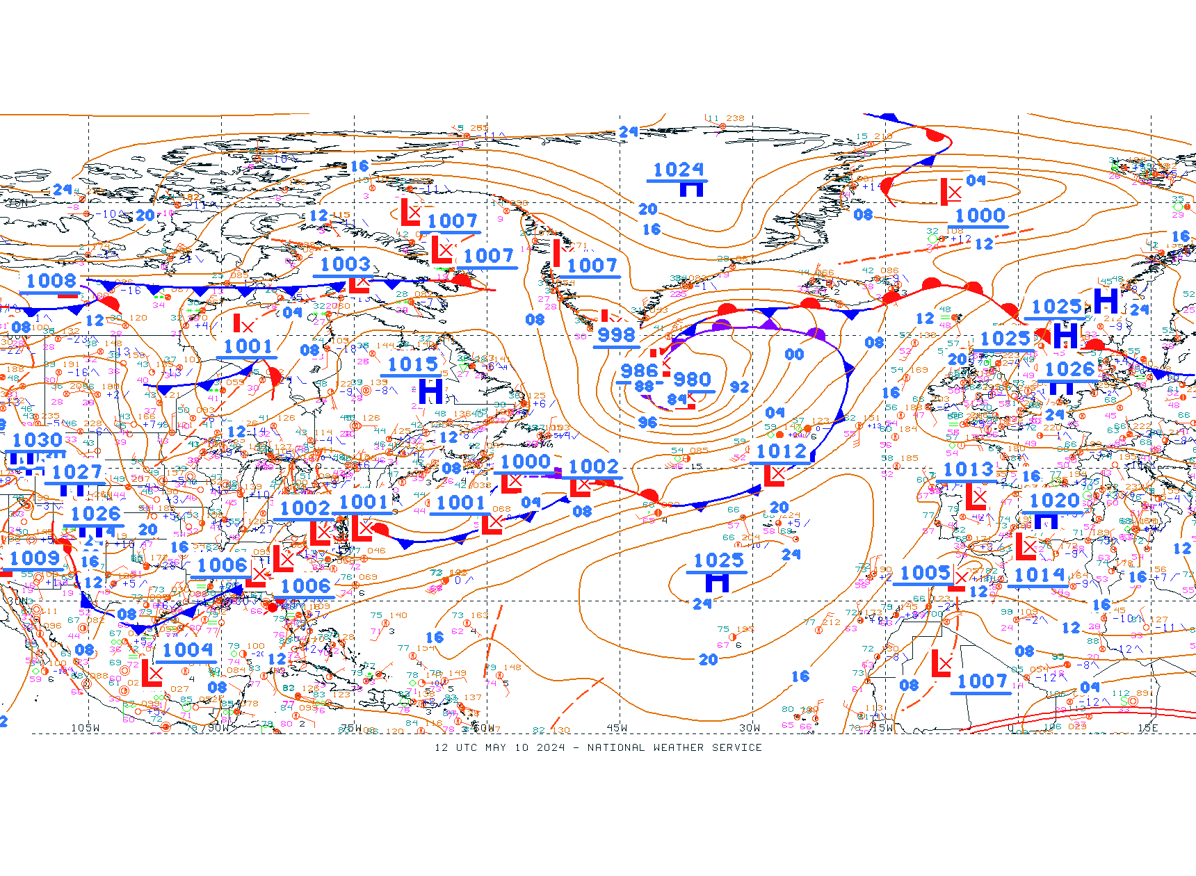
https://weather.gc.ca/data/analysis/935_100.gif
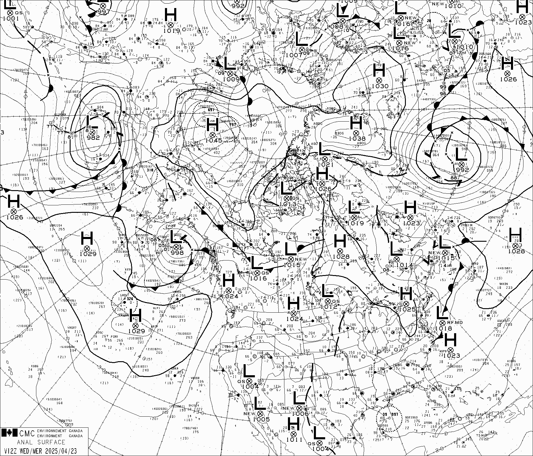
Today, many scientists are becoming more vocal regarding their assessment of the anthropogenic (fossil fuel) impacts on the earth’s climate. There are many forces pushing the human extinction concept and alarmist approach to solving “our climate problem”. The following link provides a comprehensive analysis of key motivating economics and corruption for personal gain driving the MSM’s alarms. It also discusses some fundamental physics driving true climate variability and the Cold Truth Initiative. Have a look:
https://w3.ultimatewealthreport.com/Finance/ULT/LP/UWR-Dark-Winter?dkt_nbr=6F1212bfxgiu
My weather album shows an example of the detailed cyclonic (low pressure) storm structure that is characterized by a comma cloud shape with the warm sector east of the cold front (where we may have record max temperatures) and the cold sector west of the front where we may have record cold temperatures. The storm’s cyclonic circulation (counter clockwise in the N Hem. and clockwise in the S. Hem,) drives the warm and cold air. The cold front is aligned parallel to the jet stream and has significant vertical and horizontal wind shear which triggers deep SEVERE thunderstorms when sufficient moisture and instability are available. Tornadoes may develop under the deep convection and wind shear here.
Have a look at the detailed charts and documentation in my Global Weather Albums at:
https://photos.app.goo.gl/AXJDAGeKLrkcvLvM8
and:
https://photos.app.goo.gl/7Vha3C3tKzmdDNyp7
Latest Winter 2022: https://photos.app.goo.gl/9nqCQsFjLPVbxaUj8
Summer 2022: https://photos.app.goo.gl/UPA1dYMsEfqQ9u9SA
Fall 2022: https://photos.app.goo.gl/96LnLphExapDFzVc8
WINTER 2023: https://photos.app.goo.gl/yMZB2gDoTbqLZzdQA
8 MAY 2023
The Grand Solar Minimum’s (GSM) global impact was evident from Alaska to the Antarctic where winter-like storms continued to dump large amounts of snow (221 to 334 cm) on high elevations. Even the Sierra had significant snow in their normally dry season. Slovenia passed 390 cm - about 70 cm above the average on this date at Kredarica (2515 m msl).
Meteora continues to fascinate me as I watch deep cyclonic storms march around the earth under the control of the jet stream. While spring is decreasing the pressure gradient in the N Hemisphere, we still have beautiful large storms that wreck havoc along cold fronts and keep some regions warm and others cold. Have a look at my winter weather album to see prime examples. The N Atlantic has a deep 977 mb storm SE of Greenland pumping moisture into the UK for King Charles III’s coronation and snow into Greenland. Western Europe was mild while Western Siberia went cold as a deep 975 mb storm over the Ob River pulled Arctic air south.
Spain had a brief cool Atlantic air day, yet the extreme drought in the Iberian Peninsula and Morocco continued. windy.com has a global drought monitor page now. See:
https://www.windy.com/-Show---add-more-layers/overlays?awp_0_40,34.089,20.303,4,i:pressure,m:ff3agyK
A N. Atlantic storm (977 mb) extended from Newfoundland to Ireland pushing warm moist air into Greenland this week as the daily SMB dropped below normal.
see: http://polarportal.dk/en/greenland/surface-conditions/
Snow:
https://www.windy.com/-New-snow-snowAccu?snowAccu,next10d,74.902,-40.649,4,i:pressure,m:fOdadW1
Rain:
https://www.windy.com/-Rain-accumulation-rainAccu?rainAccu,next10d,51.944,-74.399,4,i:pressure
Japan and N Korea continued to get snow (4-52 cm). N Hemisphere jet continued to have a number of short traveling waves from Japan to Europe. This meandering jet bought sharp contrasts of temperature and precipitation. When the jet forms an “omega block” the waves remain in place continuing to enhance the cold and warm sectors. When the jet core is on the equator side of you, you are in the cold air. This was the situation this week in the US and in southern Australia.
The windy.com wave map shows the deep storms:
see: https://www.windy.com/-Waves-waves?waves,67.842,-1.230,3,i:pressure
TropicalTidbits.com (forecast models) also gives you a look at the temperature departures from normal associated with these storms. You can see the warm and cold sectors - the normal variations of global temperature.
Asia from China to Japan set record cold temperatures in the past weeks. Cold penetrated India setting records as the Himalayas had heavy snows (154-369cm). Mt Everest again had snow forecasts 2-3 m. These heavy snows resulted in a killing serac collapse. The Tibetan Plateau remains high and dry with new snow on the ringing mountains from the Himalaya to Shan ranges. China broke 241 cold records on one day in late April. Pakistan had late April snow records and India heavy snows.
In contrast the southern hemisphere is cooling with the Antarctic now showing large areas in the interior below -60º C as measured in Windy’s satellite surface temperatures and surface observations to -72ºC. However, large deep storms (960 to 946 mb) continued to circle the Antarctic and even hit the Australian Bite. A 949 mb low was north of the Weddell Sea dumped 150cm. Howling blizzards are still circling the Antarctic coast with 30 to 60 kt winds near these storms. The Ross Sea and Weddell Sea remain closed with sea Ice.
AUSTRALIA had a series of strong Antarctic cold fronts this week. Sydney set a new cold summer record when it failed to reach 32ºC (89.6ºF) in December. Australia was again cool and rainy in the Northern Territory, while Victoria and South Australia had some much below normal temperatures. Western Australia cooled as the Antarctic waves moved north. This week the Snowy Range and Tasmanian Volcano picked up 17-32 cm of new snow. The mean February temperature was 0.2ºC below normal making the summer mean temp 0.5ºC below normal. New Zealand had its first significant snows over he entire South Island with 66 cm south of Nelson. Its rainforests continued to have 250 to 737 mm of rain.
South America cooled, while the Antarctic was mixed with warm and cold regions and significant (1 to 2 meters) coastal snows during their summer. The Andes continued to build its glaciers ( 1-4 m). South Georgia Island had significant snows reaching 61-120 cm this week.
Argentina and Brazil are cooling, some Antarctic cold bursts have triggered thunderstorms and locally heavy rains. Dry areas are receiving beneficial rains and some flooding with 100 to 300 mm rains. BRAZIL had severe flooding and killing debris flows. Temperatures have reached 4 to 14º in Argentina where drought continues to prevail. Then last week, a strong Antarctic front flipped Argentina into winter breaking many cold temperature records and cutting crop growth with early summer frosts 2 weeks ago!! This is the GSM’s classic impact like the LITTLE ICE AGE where growing seasons are drastically shortened. Recall the US winter wheat crop was damaged by killing frost in January. Crop harvests in Brazil and Argentina are significantly below normal yields. Brazil also had its earliest snowfall of record.
https://www.windy.com/-New-snow-snowAccu?snowAccu,next10d,-66.653,-60.776,4,i:pressure,m:NPaelA
CURRENT EXTREMES:
Electroverse provides detailed descriptions of global extreme weather that may be linked to the Grand Solar Minimum each day. You can check weather extremes AND IMPACTS this week:
Adapt 2030: Winter Wheat and ICE AGE…. CRITICAL FOOD SHORTAGES??
https://youtu.be/yVPFqT_ri2w
Adapt 2030: Impacts of Ohio train spill, ozone depletion, GSM short growing season on food production and health.:
AGW Party: All Hopes Hang On Developing El Niño
May 5, 2023 Cap Allon
The legacy media is out in full force, vitriolically calling the end of La Niña and prematurely selling the next El Niño.
The rhetoric is unlike anything I’ve ever seen, the warm-mongering is on full show, and EVERYONE is dutifully following the instruction. These charlatans have sat patiently through three years of La Niña (cooling that they previously claimed was an impossibility) and now they’re pouncing on the very first glimpse of oceanic warming.
https://electroverse.info/agw-party-all-hopes-hang-on-developing-el-nino/
My Album shows the Sea Surface Temperature Anomaly evolution each week.
just now
AUSTRALIA SUFFERS RECORD LOWS AND EARLY SNOWS; RARE MAY FLURRIES HIT PAKISTAN; COLD AND WET KENYA; + EASTERN EUROPE’S FREEZING APRIL SPILLS INTO MAY
Sunday evening delivered Sydney its coldest temperature this early into a season for 85 years, since 1938.
https://www.patreon.com/posts/australia-record-82683595?utm_medium=post_notification_email&utm_campaign=patron_engagement&utm_source=post_link
4 days ago at 11:35 AM
SIX STRAIGHT COLD MONTHS FOR CHEYENNE; HISTORIC SNOW ACROSS THE LIKES OF MICHIGAN AND WEST VIRGINIA; NOME’S “COLDEST APRIL IN A LIFETIME”; HEAVY MAY SNOW CLIPS INDIA; COOL UK; RECORD COOL LATVIA; + REVERSED POLARITY SUNSPOT
https://www.patreon.com/posts/six-straight-for-82496077
May 1 at 12:13 PM
“SURPRISE” LATE-SEASON SNOW HITS REYKJAVÍK; FROSTY QUEENSLAND; HISTORIC MAY COLD AND SNOW ON COURSE FOR MICHIGAN; + HEAVY SPRING DUMPINGS CONTINUE ACROSS EUROPEAN ALPS
"Glaciers are the ambassadors of the climate crisis," so states AGW Party dogma -- not U.S. glaciers, though, or western Swiss glaciers, or a great many French, Austrian and Italian glaciers, or Greenland glaciers, or….
https://www.patreon.com/posts/surprise-late-on-82329229
Frosty Queensland
Australia’s pre-winter cooling is forecast to persist this week, further demonstrating the ‘probe-loving‘ BoM’s calls for a ‘warmer-than-average’ autumn nothing but an agenda-driving fantasy.
Sunday morning delivered anomalously-cold temperatures across the entire continent — a familiar scene:
https://electroverse.info/snow-hits-reykjavik-frosty-queensland-record-snowy-michigan-heavy-snow-european-alps/
This link takes you to the stories above and more…
Note the new link:see: https://electroverse.info
See my latest extreme event documentation in the Album:
WINTER 2023: https://photos.app.goo.gl/yMZB2gDoTbqLZzdQA
For those who are curious about our weekly weather events and extremes have a look at the weather albums. The events range from the Boulder Wild Fire to heavy snows in Alaska and along the Coast Range to the Sierra, Greenland’s surface mass balance, ice loss, global crop losses… Snow in Hawaii on May 2nd. Deep storms circling the Antarctic; S American, S Africa low T records.
…new heavy snows in Australia and New Zealand…to heatwaves in the SW US… record heavy snows on Greenland 21 June; record cold in NZ 26 June 2022. Global temperature anomalies on 30 June; July 4th; mid-July charts and information, UK’s heat wave; Canada’s Hudson Bay Low; Kentucky floods…Norway and Sweden's cool July, August floods and Pacific NW record heat; Greenland’s 100GT SMB accumulation above normal for 2021-22 season; record 7 GT increase in daily SMB; tropical storms Kaye, Earl, Hinnamnor CAT 5; Rare cold September in NZ, Super Typhoon Nanmodal, Alaska’s Bering Sea storm, Antarctic’s 918 mb storm and heavy snows; Hurricanes Ian and Roslyn, Winter Storms in October; major winter storms and balancing heat waves-the meandering wavy jet stream in November, 1051 mb Alaskan High Pressure, global temperature anomalies, Historic Lake Effect Snow, 1058 mb Yukon High, traveling waves and temperature anomalies, Sierra heavy precipitation…Japan’s record snows, North America’s Christmas 2022 storm…California extreme weather, AR flight tracks, Europe Storms, AR into Svalbard, icy “Warm Lake” Issyk-Kul, Intense Winter storms and record cold regions, NE Polar (Arctic) Vortex evolution - record Arctic Blast, California winter storms, Morocco 7 ft S+, Winter storms and meridional jet, record CO2 emissions China and India; TORNADO forecasts, radar and satellite images, April records and storms, Antarctic -70ºC, cold spring temperature anomalies, Andes > 4m snows, Alaska 3 m snows, thermodynamics of warm air. SST anomalies (dSST).
Climate Commentary:
Complex sea conveyor belt interactions lead to Little Ice Age
See: https://electroverse.co/warming-arctic-drove-earth-into-lia/
The authors, whose research can be found in the journal Science Advances, conclude that there is now “an urgent need” for further research to address all these uncertainties.
Agreed.
One way or another, I fear the COLD TIMES are returning, that the mid-latitudes are REFREEZING, in line with historically low solar activity, cloud-nucleating Cosmic Rays, and a meridional jet stream flow (among other forcings, including the impending release of the Beaufort Gyre).
A new major concern is the impact of last y ear’s Super volcano Kr that injected water and particles high into the Stratosphere. Adapt 2030 has an alarming article on the continued impacts on ozone depletion and crop yield reductions under increased UV-B radiation. See: Adapt 2030 GSM food
Hydrogen fuel systems of the future:
2000 km on a single tank of H2:
Don Sather found this important clean energy link:
https://hydrogen-central.com/new-hydrogen-car-travels-2000-kilometers-single-tank/
INDEPENDENT THINKING is very important to scientific understanding. Dr. Willie Soog presents a comprehensive review of climate change and global warming facts in a very interesting semi-technical way. If you haven’t seen this, it is well worth your time to get an over view of physical controls from CO2 to geophysical, oceans and solar impacts on climate and how numerical models fail to accurately predict our future. See:
Global Warming: Fact or Fiction? Featuring Physicists Willie Soon and El...
Eastern Pacific Ocean is cooling NOT warming! Are the climate models wro…
https see://youtu.be/KtjeNvTwYeU
DR. William Happer, Emeritus Professor at Princeton, a renowned Physicist discusses “Why Global Warming Paused” in factual, semi-layman’s terms. If you wish to understand key aspects of the greenhouse effects you will find his lecture interesting. Plenty of graphs and charts on his YouTube lecture.
We are seeing the extreme weather globally that is associated with the Grand Solar Minimum or solar “hibernation” as John Casey calls it. His book Dark Winer - How the sun is causing a 30-year cold spell (like the Dalton Minimum - Little Ice Age) provides a sobering look at the Earth’s future — not a global warming like the MSM would have you believe. This link documents my original climate position nicely. Lots of solid science and a historic perspective, well worth reading to the end. It is documented with references and published charts. We have begun the drop into this next 30-year cold period. Casey notes that the French Revolution was caused in part by the extreme heat and drought in 1786-89 that preceded the Dalton Minimum much like today. Remember Napoleon was defeated in Moscow due to the severe winter of 1812-13 during the Dalton Minimum.
https://www.newsmax.com/Finance/MKTNews/Global-Warming-climate-change/2014/11/17/id/607827/
https://w3.ultimatewealthreport.com/Finance/ULT/LP/UWR-Dark-Winter?dkt_nbr=6F1212bfxgiu
Recall the Arctic’s ticking time bomb - the Beaufort Gyre, a pool of fresh, cold water in the Arctic Ocean. When this pool is released into the N Atlantic it could cut the Gulf Stream and suddenly send Europe into an ice age. See:
https://electroverse.net/the-arctics-ticking-climate-bomb-little-ice-age-imminent/
The Farmers Almanac is predicting a cold, stormy winter for all of the US except the SW in 2022-23. Colorado is considered Great Plains still in the coldest region by FA standards. This is consistent with the very cold winter in the Southern Hemisphere this year. See:
https://www.farmersalmanac.com/weather
The physics of our dynamic atmosphere has a way of balancing the hot and cold regions; if we wait long enough the systems move eastward thru the jet stream. Tropical Tidbits provides a comprehensive global look at our temperature extremes clearly showing the temperature anomalies from hot and cold record temperatures to normal temperatures. If you look closely at the surface temperature anomalies you can clearly see the warm and cold sectors of storms and follow their movement.
Electroverse documents a distinguished climate scientist’s position on climate models and their physical weaknesses in predicting future climate. Dr. Moto Nakamura, PHD from MIT states ”our models are micky-mouse mockeries of the real world” much like I have told you. We simply do not have the complete physics and computing power to make extended 50 to 100-year forecasts. Look at today’s 15-day forecast accuracy using our very best computers and models and real-time global data nudging the solutions. There’s no data to correct - nudge the models in 2025+.
see: https://electroverse.co/climate-scientist-breaks-ranks-our-models-are-mickey-mouse-mockeries/
Satellite imagery:
https://www.star.nesdis.noaa.gov/GOES/fulldisk_band.php?sat=G16&band=09&length=120&dim=1
Global temperature anomalies:
https://www.tropicaltidbits.com/analysis/models/?model=gfs®ion=nhem&pkg=T2ma&runtime=2022071712&fh=6
see Windy at: https://www.windy.com/-Satellite-satellite?satellite,52.829,0.352,4
Chose the 12h video loop to see cloud motion. You can see cold air streaming into eastern Europe this week.
FOOD AND ENERGY remain the primary global challenges of 2022. These logs are designed to keep you informed regarding the impacts of weather on our lives. The World Economic Forum in Davos addressed this critical survival challenge. Europe has been rapidly stocking up on natural gas and is now (24 Oct 2022) at 90% of storage capacity. This will be Ok for a normal winter; however if they are below normal, it will still lead to severe shortages of power.
Energy needs: https://www.youtube.com/embed/wDOI-uLvTnY
One excellent source of information that the USDA and NOAA compile each week is the Weekly Weather and Crop Bulletin. I have read this since my subscription in High School and now can see it on-line FOR FREE. The Bulletin provides global coverage of everything from soil temperature and moisture to growing degree days and days suitable for field work and their impacts on yields of various crops… For those interested in an in-depth global analysis I suggest checking:
https://www.usda.gov/sites/default/files/documents/wwcb.pdf
The Grand Solar Minimum CONTINUES TO impact global food production. This is critical when combined with the Ukrainian War, gas shortages, fertilizer production, farm planting and harvest cuts. The last two GSMs were the weakest in 200 years. Note that in the last Little Ice Age the mean global temperature dropped 1.6ºC below average; however, the growing season was significantly shortened - early and late frosts. The River Thames froze over and Europe relied on N Africa for food. Today food prices in parts of Europe are up 15 to 22%.
We need to develop our family gardens, and hydroponic, aeroponic, and aquaponic greenhouses to protect our family food supplies and provide a 365 day growing season…
Tropical Tidbits provides a daily temperature anomaly for the GFS model forecasts. Note: These logs now have hyperlinks built into the text for those interested in quickly accessing the latest detailed meteorological charts and images. You can step thru the model forecasts out to 10 days.
see: https://www.tropicaltidbits.com/analysis/models/?model=gfs®ion=us&pkg=T2ma&runtime=2022041712&fh=6
Grand Junction NWS forecast:
see https://www.weather.gov/gjt/
ECMWF model’s 10-day forecast for N America. Environment Canada’s global surface analysis shows a 996 mb low over Svalbard producing heavy snows on the islands north of Norway this week.
Some interesting real-time sites:
https://www.windy.com/-Rain-accumulation-rainAccu?rainAccu,next10d,51.563,-33.223,4,m:ff3agyK
see also :https://www.windy.com/-New-snow-snowAccu?snowAccu,next10d,55.826,-73.608,4
https://ocean.weather.gov/UA/OPC_ATL.gif
https://weather.gc.ca/data/analysis/935_100.gif
Today, many scientists are becoming more vocal regarding their assessment of the anthropogenic (fossil fuel) impacts on the earth’s climate. There are many forces pushing the human extinction concept and alarmist approach to solving “our climate problem”. The following link provides a comprehensive analysis of key motivating economics and corruption for personal gain driving the MSM’s alarms. It also discusses some fundamental physics driving true climate variability and the Cold Truth Initiative. Have a look:
https://w3.ultimatewealthreport.com/Finance/ULT/LP/UWR-Dark-Winter?dkt_nbr=6F1212bfxgiu
My weather album shows an example of the detailed cyclonic (low pressure) storm structure that is characterized by a comma cloud shape with the warm sector east of the cold front (where we may have record max temperatures) and the cold sector west of the front where we may have record cold temperatures. The storm’s cyclonic circulation (counter clockwise in the N Hem. and clockwise in the S. Hem,) drives the warm and cold air. The cold front is aligned parallel to the jet stream and has significant vertical and horizontal wind shear which triggers deep SEVERE thunderstorms when sufficient moisture and instability are available. Tornadoes may develop under the deep convection and wind shear here.
Have a look at the detailed charts and documentation in my Global Weather Albums at:
https://photos.app.goo.gl/AXJDAGeKLrkcvLvM8
and:
https://photos.app.goo.gl/7Vha3C3tKzmdDNyp7
Latest Winter 2022: https://photos.app.goo.gl/9nqCQsFjLPVbxaUj8
Summer 2022: https://photos.app.goo.gl/UPA1dYMsEfqQ9u9SA
Fall 2022: https://photos.app.goo.gl/96LnLphExapDFzVc8
WINTER 2023: https://photos.app.goo.gl/yMZB2gDoTbqLZzdQA
1 MAY 2023
The Rockies and Minnesota continued to have winter-like conditions with significant snow and stormy weather as a deep trough and several fronts triggered snows. A warm ridge moved into California triggering rapid melt and flooding from the winter’s record snowpack. The Missouri River Basin including Yellowstone had snowmelt triggered flooding too. The Mississippi had over 100 miles under flood conditions, not too unusual for this time of year. The East had a wet period as the cold fronts and Gulf moisture produced significant rains. Interestingly, the Appalachians have a 50-60 cm 10-day snowfall forecast and Upper Michigan has a 90-110 cm ECMWF forecast on 30 April 2023. This soggy severe weather was driven by a deep large storm (992 mb) centered on Upper Michigan extending to the East coast, where it triggered secondary storms that triggered tornadoes in Florida and severe weather to Virginia Beach. This storm will persist into early May.
California also is still having significant precipitation with over 100 mm and 60 cm in its 10-day forecast. The ridge in the West will give-way to sharp trough and stormy conditions as the meandering Jet continues to carry storms around the N Hemisphere.
The South from Texas to Florida continued to have severe weather along the cold fronts with hail, tornadoes, and heavy flash flood rains. Don Sather raised the question about warmer climates having more precipitation. Thermodynamically, warmer air has a higher moisture carrying capacity than cold air; however, precipitation is not so simple. Moisture flux, lifting, and sustained repeated jet steam cold Atm Rivers make a significant impact as in the record California storms and snow pack. When you look at a thermodynamic diagram, 30ºC has a mixing ratio of 26g/kg vs 10º at 8 g/kg and 0ºC at 4g/kg at 1000 mb ~ sea level. See the Album for examples from Tropical Tidbit GFS soundings from cold Texas and warm California on 29 April 2023 12z. Spain is in an extreme drought and heat wave. It’s sounding clearly shows that while the carrying capacity is high, the atmospheric dynamics are dry.
Another huge N Atlantic storm (982 mb) extended from Newfoundland to Ireland pushing warm moist air into Greenland this week; however, a 1044mb high suppressed snowfall and pushed cold air into N Central Europe. Siberia warmed to its highest temperatures of the season.
see: http://polarportal.dk/en/greenland/surface-conditions/
Snow:
https://www.windy.com/-New-snow-snowAccu?snowAccu,next10d,74.902,-40.649,4,i:pressure,m:fOdadW1
Rain:
https://www.windy.com/-Rain-accumulation-rainAccu?rainAccu,next10d,51.944,-74.399,4,i:pressure
Slovenia’s highest observatory reached 355 cm on the level during a Genoa Low and deep upper level trough. This was balanced by warm 20º C sunny skies before the next system. Weather in Europe will turn cold with more snow in high elevations in the next wave.
Japan and N Korea continued to get snow (2-84 cm). N Hemisphere jet continued to have a number of short traveling waves from Japan to Europe. This meandering jet bought sharp contrasts of temperature and precipitation. When the jet forms an “omega block” the waves remain in place continuing to enhance the cold and warm sectors. When the jet core is on the equator side of you, you are in the cold air. This was the situation this week in the US.
As winter storms continued to dominate many areas of both hemispheres record cold hit many areas. For those who watch the global satellite imagery on windy.com you can see these strong systems march around the mid- and high-latitudes. In North America, the heavy snow cover from Alaska to the Sierra and Rockies shows up on clear days - a beautiful pattern of winter snow that outlines the mountains - white and valleys - dark. Quite fascinating! You can see the cold Arctic blasts coming out of Greenland across the Atlantic into Western Europe and down the North Sea this week. On clear days the Alps stand out quite well. If you would like to see the clear outline of storms, Windy’s wave height analysis shows the sea state and when pressure is turned on you see the storm patterns and cold ridges of high pressure.
see: https://www.windy.com/-Waves-waves?waves,67.842,-1.230,3,i:pressure
TropicalTidbits.com (forecast models) also gives you a look at the temperature departures from normal associated with these storms. You can see the warm and cold sectors - the normal variations of global temperature.
Normally the transition periods of Spring and Fall tend to have more intense swings of extremes and the meridional jet stream drives these storms and their fronts that mark the boundary between warm and cold air. Severe weather is triggered by these fronts. Deadly Tornadoes again hit the South last week.
Asia from China to Japan set record cold temperatures in the past weeks. Cold penetrated India setting records as the Himalayas had heavy snows (154-369cm). Mt Everest again had snow forecasts 2-3 m. These heavy snows resulted in a killing serac collapse. The Tibetan Plateau remains high and dry with new snow on the ringing mountains from the Himalaya to Shan ranges. China broke 241 cold records on one day in late April.
In contrast the southern hemisphere is cooling with the Antarctic now showing large areas in the interior below -60º C as measured in Windy’s satellite surface temperatures and surface observations to -71ºC. However, large deep storms (956 to 946 mb) continued to circle the Antarctic and even hit the Australian Bite. A 946 mb low was north of the Thwaites Glacier which received 50-70 cm of new snow. The Peninsula’s high mountain ridge (1500 m msl) had 74-184 cm. The King George Coast range had 120 cm with a 956 mb storm. Howling blizzards are still circling the Antarctic coast with 30 to 60 kt winds near these storms. The Ross Sea and Weddell Sea are closed with sea Ice.
AUSTRALIA had a series of strong Antarctic cold fronts this week. Sydney set a new cold summer record when it failed to reach 32ºC (89.6ºF) in December. Australia was again cool and rainy in the Northern Territory, while Victoria and South Australia had some much below normal temperatures. Western Australia cooled as the Antarctic waves moved north. This week the Snowy Range and Tasmanian Volcano picked up 10-30 cm of new snow. The mean February temperature was 0.2ºC below normal making the summer mean temp 0.5ºC below normal.
South America was above normal, while the Antarctic was mixed with warm and cold regions and significant (1 to 2 meters) coastal snows during their summer. The Andes continued to build their glaciers ( 2-4 m. South Georgia Island had significant snows reaching 191 cm this week.
Argentina and Brazil are cooling, some Antarctic cold bursts have triggered thunderstorms and locally heavy rains. Dry areas are receiving beneficial rains and some flooding with 100 to 300 mm rains. BRAZIL had severe flooding and killing debris flows. Temperatures have reached 24 to 30ºC in Argentina where drought continues to prevail. Then last week, a strong Antarctic front flipped Argentina into winter breaking many cold temperature records and cutting crop growth with early summer frosts last week!! This is the GSM’s classic impact like the LITTLE ICE AGE where growing seasons are drastically shortened. Recall the US winter wheat crop was damaged by killing frost in January. Crop harvests in Brazil and Argentina are significantly below normal yields. Brazil also had its earliest snowfall of record.
https://www.windy.com/-New-snow-snowAccu?snowAccu,next10d,-66.653,-60.776,4,i:pressure,m:NPaelA
CURRENT EXTREMES:
Electroverse provides detailed descriptions of global extreme weather that may be linked to the Grand Solar Minimum each day. You can check weather extremes AND IMPACTS this week:
Adapt 2030: Winter Wheat and ICE AGE…. CRITICAL FOOD SHORTAGES??
https://youtu.be/yVPFqT_ri2w
Adapt 2030: Impacts of Ohio train spill, ozone depletion, GSM short growing season on food production and health.:
Exceptional Cold Grips Parts Of Japan; Utah Posts -19.2F As U.S. Suffers Late-Season Freeze; + China’s ‘Return To Winter’ Persists With Regions Seeing Their Latest Snowfall In Recorded History
April 25, 2023 Cap Allon
Exceptional Cold Grips Parts Of Japan
East Asia has been enduring a fierce polar outbreak in recent days, one that spread eastwards from Siberia.
Remarkable low temperatures have been logged across large areas of Japan.
https://electroverse.info/cold-japan-u-s-suffers-late-season-freeze-chinas-return-to-winter/
China’s ‘Return To Winter’ Persists With Regions Seeing Their Latest Snowfall In Recorded History
The rare strong cold front has put the brakes on spring for much China, too, where records are being slain.
The mercury widely dropped by 22C across swathes of Gansu, Shaanxi and Shanxi provinces. Here, a staggering 241 low temperature records were broken on Monday alone; these same regions have also been hit by unseasonable snow. According to the Center, many areas have registered their latest accumulating snow since records began. Recently, Shanxi received 24cm (9.4 inches), according to the province’s meteorological service, with record totals falling in southern parts.
The cold and snow “arrived suddenly,” so say the locals.
A farmer in Taiyuan, Shanxi, said that snowfall caught him completely off guard: “Now the fruit trees are covered with snow, the temperature is too low. If the flowers are frozen over time, they won’t bear fruit later,” he was quoted as saying.
Utah Posts -19.2F As U.S. Suffers Late-Season Freeze
America’s late-season freeze is reluctant to shift. Most recently, it delivered -19.2F (-28.4C) to Peter Sinks, Utah — a very cold reading for late April. Note, the national record for May –also set at Peter Sinks (1983)– stands at -19F (-28.3C).
This link takes you to the stories above and more…
Note the new link:see: https://electroverse.info
See my latest extreme event documentation in the Album:
WINTER 2023: https://photos.app.goo.gl/yMZB2gDoTbqLZzdQA
For those who are curious about our weekly weather events and extremes have a look at the weather albums. The events range from the Boulder Wild Fire to heavy snows in Alaska and along the Coast Range to the Sierra, Greenland’s surface mass balance, ice loss, global crop losses… Snow in Hawaii on May 2nd. Deep storms circling the Antarctic; S American, S Africa low T records.
…new heavy snows in Australia and New Zealand…to heatwaves in the SW US… record heavy snows on Greenland 21 June; record cold in NZ 26 June 2022. Global temperature anomalies on 30 June; July 4th; mid-July charts and information, UK’s heat wave; Canada’s Hudson Bay Low; Kentucky floods…Norway and Sweden's cool July, August floods and Pacific NW record heat; Greenland’s 100GT SMB accumulation above normal for 2021-22 season; record 7 GT increase in daily SMB; tropical storms Kaye, Earl, Hinnamnor CAT 5; Rare cold September in NZ, Super Typhoon Nanmodal, Alaska’s Bering Sea storm, Antarctic’s 918 mb storm and heavy snows; Hurricanes Ian and Roslyn, Winter Storms in October; major winter storms and balancing heat waves-the meandering wavy jet stream in November, 1051 mb Alaskan High Pressure, global temperature anomalies, Historic Lake Effect Snow, 1058 mb Yukon High, traveling waves and temperature anomalies, Sierra heavy precipitation…Japan’s record snows, North America’s Christmas 2022 storm…California extreme weather, AR flight tracks, Europe Storms, AR into Svalbard, icy “Warm Lake” Issyk-Kul, Intense Winter storms and record cold regions, NE Polar (Arctic) Vortex evolution - record Arctic Blast, California winter storms, Morocco 7 ft S+, Winter storms and meridional jet, record CO2 emissions China and India; TORNADO forecasts, radar and satellite images, April records and storms, Antarctic -70ºC, cold spring temperature anomalies, Andes > 4m snows, Alaska 3 m snows, thermodynamics of warm air..
Climate Commentary:
Complex sea conveyor belt interactions lead to Little Ice Age
See: https://electroverse.co/warming-arctic-drove-earth-into-lia/
The authors, whose research can be found in the journal Science Advances, conclude that there is now “an urgent need” for further research to address all these uncertainties.
Agreed.
One way or another, I fear the COLD TIMES are returning, that the mid-latitudes are REFREEZING, in line with historically low solar activity, cloud-nucleating Cosmic Rays, and a meridional jet stream flow (among other forcings, including the impending release of the Beaufort Gyre).
A new major concern is the impact of last y ear’s Super volcano Kr that injected water and particles high into the Stratosphere. Adapt 2030 has an alarming article on the continued impacts on ozone depletion and crop yield reductions under increased UV-B radiation. See: Adapt 2030 GSM food
Hydrogen fuel systems of the future:
2000 km on a single tank of H2:
Don Sather found this important clean energy link:
https://hydrogen-central.com/new-hydrogen-car-travels-2000-kilometers-single-tank/
INDEPENDENT THINKING is very important to scientific understanding. Dr. Willie Soog presents a comprehensive review of climate change and global warming facts in a very interesting semi-technical way. If you haven’t seen this, it is well worth your time to get an over view of physical controls from CO2 to geophysical, oceans and solar impacts on climate and how numerical models fail to accurately predict our future. See:
Global Warming: Fact or Fiction? Featuring Physicists Willie Soon and El...
Eastern Pacific Ocean is cooling NOT warming! Are the climate models wro…
https see://youtu.be/KtjeNvTwYeU
DR. William Happer, Emeritus Professor at Princeton, a renowned Physicist discusses “Why Global Warming Paused” in factual, semi-layman’s terms. If you wish to understand key aspects of the greenhouse effects you will find his lecture interesting. Plenty of graphs and charts on his YouTube lecture.
We are seeing the extreme weather globally that is associated with the Grand Solar Minimum or solar “hibernation” as John Casey calls it. His book Dark Winer - How the sun is causing a 30-year cold spell (like the Dalton Minimum - Little Ice Age) provides a sobering look at the Earth’s future — not a global warming like the MSM would have you believe. This link documents my original climate position nicely. Lots of solid science and a historic perspective, well worth reading to the end. It is documented with references and published charts. We have begun the drop into this next 30-year cold period. Casey notes that the French Revolution was caused in part by the extreme heat and drought in 1786-89 that preceded the Dalton Minimum much like today. Remember Napoleon was defeated in Moscow due to the severe winter of 1812-13 during the Dalton Minimum.
https://www.newsmax.com/Finance/MKTNews/Global-Warming-climate-change/2014/11/17/id/607827/
https://w3.ultimatewealthreport.com/Finance/ULT/LP/UWR-Dark-Winter?dkt_nbr=6F1212bfxgiu
Recall the Arctic’s ticking time bomb - the Beaufort Gyre, a pool of fresh, cold water in the Arctic Ocean. When this pool is released into the N Atlantic it could cut the Gulf Stream and suddenly send Europe into an ice age. See:
https://electroverse.net/the-arctics-ticking-climate-bomb-little-ice-age-imminent/
The Farmers Almanac is predicting a cold, stormy winter for all of the US except the SW in 2022-23. Colorado is considered Great Plains still in the coldest region by FA standards. This is consistent with the very cold winter in the Southern Hemisphere this year. See:
https://www.farmersalmanac.com/weather
The physics of our dynamic atmosphere has a way of balancing the hot and cold regions; if we wait long enough the systems move eastward thru the jet stream. Tropical Tidbits provides a comprehensive global look at our temperature extremes clearly showing the temperature anomalies from hot and cold record temperatures to normal temperatures. If you look closely at the surface temperature anomalies you can clearly see the warm and cold sectors of storms and follow their movement.
Electroverse documents a distinguished climate scientist’s position on climate models and their physical weaknesses in predicting future climate. Dr. Moto Nakamura, PHD from MIT states ”our models are micky-mouse mockeries of the real world” much like I have told you. We simply do not have the complete physics and computing power to make extended 50 to 100-year forecasts. Look at today’s 15-day forecast accuracy using our very best computers and models and real-time global data nudging the solutions. There’s no data to correct - nudge the models in 2025+.
see: https://electroverse.co/climate-scientist-breaks-ranks-our-models-are-mickey-mouse-mockeries/
Satellite imagery:
https://www.star.nesdis.noaa.gov/GOES/fulldisk_band.php?sat=G16&band=09&length=120&dim=1
Global temperature anomalies:
https://www.tropicaltidbits.com/analysis/models/?model=gfs®ion=nhem&pkg=T2ma&runtime=2022071712&fh=6
see Windy at: https://www.windy.com/-Satellite-satellite?satellite,52.829,0.352,4
Chose the 12h video loop to see cloud motion. You can see cold air streaming into eastern Europe this week.
FOOD AND ENERGY remain the primary global challenges of 2022. These logs are designed to keep you informed regarding the impacts of weather on our lives. The World Economic Forum in Davos addressed this critical survival challenge. Europe has been rapidly stocking up on natural gas and is now (24 Oct 2022) at 90% of storage capacity. This will be Ok for a normal winter; however if they are below normal, it will still lead to severe shortages of power.
Energy needs: https://www.youtube.com/embed/wDOI-uLvTnY
One excellent source of information that the USDA and NOAA compile each week is the Weekly Weather and Crop Bulletin. I have read this since my subscription in High School and now can see it on-line FOR FREE. The Bulletin provides global coverage of everything from soil temperature and moisture to growing degree days and days suitable for field work and their impacts on yields of various crops… For those interested in an in-depth global analysis I suggest checking:
https://www.usda.gov/sites/default/files/documents/wwcb.pdf
The Grand Solar Minimum CONTINUES TO impact global food production. This is critical when combined with the Ukrainian War, gas shortages, fertilizer production, farm planting and harvest cuts. The last two GSMs were the weakest in 200 years. Note that in the last Little Ice Age the mean global temperature dropped 1.6ºC below average; however, the growing season was significantly shortened - early and late frosts. The River Thames froze over and Europe relied on N Africa for food. Today food prices in parts of Europe are up 15 to 22%.
We need to develop our family gardens, and hydroponic, aeroponic, and aquaponic greenhouses to protect our family food supplies and provide a 365 day growing season…
Tropical Tidbits provides a daily temperature anomaly for the GFS model forecasts. Note: These logs now have hyperlinks built into the text for those interested in quickly accessing the latest detailed meteorological charts and images. You can step thru the model forecasts out to 10 days.
see: https://www.tropicaltidbits.com/analysis/models/?model=gfs®ion=us&pkg=T2ma&runtime=2022041712&fh=6
Grand Junction NWS forecast:
see https://www.weather.gov/gjt/
ECMWF model’s 10-day forecast for N America. Environment Canada’s global surface analysis shows a 996 mb low over Svalbard producing heavy snows on the islands north of Norway this week.
Some interesting real-time sites:
https://www.windy.com/-Rain-accumulation-rainAccu?rainAccu,next10d,51.563,-33.223,4,m:ff3agyK
see also :https://www.windy.com/-New-snow-snowAccu?snowAccu,next10d,55.826,-73.608,4
https://ocean.weather.gov/UA/OPC_ATL.gif
https://weather.gc.ca/data/analysis/935_100.gif
Today, many scientists are becoming more vocal regarding their assessment of the anthropogenic (fossil fuel) impacts on the earth’s climate. There are many forces pushing the human extinction concept and alarmist approach to solving “our climate problem”. The following link provides a comprehensive analysis of key motivating economics and corruption for personal gain driving the MSM’s alarms. It also discusses some fundamental physics driving true climate variability and the Cold Truth Initiative. Have a look:
https://w3.ultimatewealthreport.com/Finance/ULT/LP/UWR-Dark-Winter?dkt_nbr=6F1212bfxgiu
My weather album shows an example of the detailed cyclonic (low pressure) storm structure that is characterized by a comma cloud shape with the warm sector east of the cold front (where we may have record max temperatures) and the cold sector west of the front where we may have record cold temperatures. The storm’s cyclonic circulation (counter clockwise in the N Hem. and clockwise in the S. Hem,) drives the warm and cold air. The cold front is aligned parallel to the jet stream and has significant vertical and horizontal wind shear which triggers deep SEVERE thunderstorms when sufficient moisture and instability are available. Tornadoes may develop under the deep convection and wind shear here.
Have a look at the detailed charts and documentation in my Global Weather Albums at:
https://photos.app.goo.gl/AXJDAGeKLrkcvLvM8
and:
https://photos.app.goo.gl/7Vha3C3tKzmdDNyp7
Latest Winter 2022: https://photos.app.goo.gl/9nqCQsFjLPVbxaUj8
Summer 2022: https://photos.app.goo.gl/UPA1dYMsEfqQ9u9SA
Fall 2022: https://photos.app.goo.gl/96LnLphExapDFzVc8
WINTER 2023: https://photos.app.goo.gl/yMZB2gDoTbqLZzdQA
18 & 24 April 2023
SPRING has arrived bringing more typical weather in the N hemisphere with jet stream’s traveling waves with their warm and cold sectors. The West was cool with some beautiful clear warm brakes with max temperatures in the 80ºF range breaking records. The East was mild with one deep cyclone dumping heavy snow in the upper mid-west. Followed by cold Canadian High that dropped temperatures across the US. Texas was 16-20ºC below normal. Another cold dome (1054 mb) north of Alaska and one over Greenland (1044 mb) will bring cold air south. The Greenland Blocking High remains stationary thus forcing more cold air southward into the US.
A huge N Atlantic storm (969 mb) extended from Newfoundland to Ireland pushing warm moist air into Greenland with heavy snow at higher elevations last week. Today another 985 mb storm is off Labrador pushing moisture into western Europe.
see: http://polarportal.dk/en/greenland/surface-conditions/
Snow:
https://www.windy.com/-New-snow-snowAccu?snowAccu,next10d,74.902,-40.649,4,i:pressure,m:fOdadW1
Rain:
https://www.windy.com/-Rain-accumulation-rainAccu?rainAccu,next10d,51.944,-74.399,4,i:pressure
Europe was mild in the SW and cold in the N. Slovenia’s highest observatory reached 350 cm on the level during a Genoa Low and deep upper level trough. This was balanced by warm 20º C sunny skies before the next system. Weather in Europe will turn cold with more snow in high elevations.
Japan continued to get snow (3-26 cm). N Hemisphere jet continued to have a number of short traveling waves from Japan to Europe. This meandering jet bought sharp contrasts of temperature and precipitation. When the jet forms an “omega block” the waves remain in place continuing to enhance the cold and warm sectors. When the jet core is on the equator side of you, you are in the cold air. This is the situation this week in the US.
As winter storms continued to dominate many areas of both hemispheres record cold hit many areas. For those who watch the global satellite imagery on windy.com you can see these strong systems march around the mid- and high-latitudes. In North America, the heavy snow cover from Alaska to the Sierra and Rockies shows up on clear days - a beautiful pattern of winter snow that outlines the mountains - white and valleys - dark. Quite fascinating! You can see the cold Arctic blasts coming out of Greenland across the Atlantic into Western Europe and down the North Sea this week. On clear days the Alps stand out quite well. If you would like to see the clear outline of storms, Windy’s wave height analysis shows the sea state and when pressure is turned on you see the storm patterns and cold ridges of high pressure.
see: https://www.windy.com/-Waves-waves?waves,67.842,-1.230,3,i:pressure
TropicalTidbits.com (forecast models) also gives you a look at the temperature departures from normal associated with these storms. You can see the warm and cold sectors - the normal variations of global temperature.
Normally the transition periods of Spring and Fall tend to have more intense swings of extremes and the meridional jet stream drives these storms and their fronts that mark the boundary between warm and cold air. Severe weather is triggered by these fronts. Deadly Tornadoes again hit the South last week.
Asia from China to Japan set record cold temperatures in the past weeks. Cold penetrated India setting records as the Himalayas had heavy snows (154-238cm). Mt Everest again had snow forecasts 2-3 m. The Tibetan Plateau remains high and dry with new snow on the ringing mountains from the Himalaya to Shan ranges.
In contrast the southern hemisphere is cooling with the Antarctic now showing large areas in the interior below -60º C as measured in Windy’s satellite surface temperatures and surface observations. However, large deep storms (956 to 946 mb) continued to circle the Antarctic and even hit the Australian Bite. A 946 mb low was north of the Thwaites Glacier which received 50-70 cm of new snow. The Peninsula’s high mountain ridge (1500 m msl) had 1 to 2 m. The King George Coast range had 120 cm with a 956 mb storm. Howling blizzards are still circling the Antarctic coast with 30 to 60 kt winds near these storms. The Ross Sea and Weddell Sea are closed with sea Ice.
AUSTRALIAN radars again showed intense thunderstorms (30-50 dBZ) along the Antarctic cold fronts this week. Sydney set a new cold summer record when it failed to reach 32ºC (89.6ºF) in December. Australia was again cool and rainy in the Northern Territory, while Victoria and South Australia had some much below normal temperatures. Western Australia was hot with ground temperatures up to +48ºC. The mean February temperature was 0.2ºC below normal making the summer mean temp 0.5ºC below normal.
South America was above normal, while the Antarctic was mixed with warm and cold regions and significant (1 to 2 meters) coastal snows during their summer. The Andes continued to build their glaciers ( 2-4 m. South Georgia Island had significant snows reaching 150 cm this week.
Argentina and Brazil are starting to cool, yet some Antarctic cold bursts have triggered thunderstorms and locally heavy rains. Dry areas are receiving beneficial rains and some flooding with 100 to 300 mm rains. BRAZIL had severe flooding and killing debris flows. Temperatures have reached 24 to 40ºC in Argentina where drought continues to prevail. Then last week, a strong Antarctic front flipped Argentina into winter breaking many cold temperature records and cutting crop growth with early summer frosts last week!! This is the GSM’s classic impact like the LITTLE ICE AGE where growing seasons are drastically shortened. Recall the US winter wheat crop was damaged by killing frost in January. Crop harvests in Brazil and Argentina are significantly below normal yields. Brazil also had its earliest snowfall of record.
https://www.windy.com/-New-snow-snowAccu?snowAccu,next10d,-66.653,-60.776,4,i:pressure,m:NPaelA
CURRENT EXTREMES:
Electroverse provides detailed descriptions of global extreme weather that may be linked to the Grand Solar Minimum each day. You can check weather extremes AND IMPACTS this week:
Adapt 2030: Winter Wheat and ICE AGE…. CRITICAL FOOD SHORTAGES??
https://youtu.be/yVPFqT_ri2w
Adapt 2030: Impacts of Ohio train spill, ozone depletion, GSM short growing season on food production and health.:
“Unprecedented” April Cold Sweeps Siberia; Sri Lanka Shivers; + More Establishment Obfuscation
April 21, 2023 Cap Allon8 Comments
CRED’s ‘Disasters in numbers’ is a doom-seeking fairy-tale, one whose authors have bent over backwards to forge statistical support for when in actual fact “the data and trends of weather-related disasters are pointing in the opposite direction”.
https://electroverse.info/?utm_content=cmp-true
One Of The Earliest Snowfalls Ever Recorded In Brazil; Historically Cold March For Guadeloupe; + At Least 19 U.S. Resorts Have Broken All-Time Snowpack Records This Year, With More To Come
April 20, 2023 Cap Allon 15 Comments
Low Temperature Records Fall Down Under
Contrary to BoM divinations, temperatures have been holding anomalously cold across Australia this autumn.
The West has been busy felling low temperature records this week, including the new monthly lows set at Carnarvon Airport (8.9C/48F) and Tennant Creek Airport (11.5C/52.7F) — to name just two.
North America’s Spring Freeze To Break Records
A monstrous mass of polar cold will plunge into United States later this week, particularly central, southern and eastern states, delivering frosts, freezes, record low temperatures, and even snow. This cold looks to have staying power, too.
The cooler air will crash into the Plains beginning Thursday, April 20.
Models suggest it will then reach the Mississippi Valley and Southern Plains Friday; the Southeast, Ohio Valley and Great Lakes Saturday; and by Sunday, perhaps Monday, the Northeast should expect its wintry walloping — just a week out from May.
Europe Braces For Late-Season Arctic Outbreak
And lastly, similarly frigid conditions are on the way for Europe–notably northern, central and eastern parts.
My neck of the woods –the Iberian Peninsula– will continue to be the exception, with April warmth set to persist for the foreseeable, but for the vast majority of the European continent, from the UK to Turkey, anomalous, out-of-season cold looms.
This link takes you to the stories above and more…
Note the new link:see: https://electroverse.info
See my latest extreme event documentation in the Album:
WINTER 2023: https://photos.app.goo.gl/yMZB2gDoTbqLZzdQA
Climate Commentary:
Complex sea conveyor belt interactions lead to Little Ice Age
See: https://electroverse.co/warming-arctic-drove-earth-into-lia/
The authors, whose research can be found in the journal Science Advances, conclude that there is now “an urgent need” for further research to address all these uncertainties.
Agreed.
One way or another, I fear the COLD TIMES are returning, that the mid-latitudes are REFREEZING, in line with historically low solar activity, cloud-nucleating Cosmic Rays, and a meridional jet stream flow (among other forcings, including the impending release of the Beaufort Gyre).
A new major concern is the impact of last y ear’s Super volcano Kr that injected water and particles high into the Stratosphere. Adapt 2030 has an alarming article on the continued impacts on ozone depletion and crop yield reductions under increased UV-B radiation. See: Adapt 2030 GSM food
Hydrogen fuel systems of the future:
2000 km on a single tank of H2:
Don Sather found this important clean energy link:
https://hydrogen-central.com/new-hydrogen-car-travels-2000-kilometers-single-tank/
INDEPENDENT THINKING is very important to scientific understanding. Dr. Willie Soog presents a comprehensive review of climate change and global warming facts in a very interesting semi-technical way. If you haven’t seen this, it is well worth your time to get an over view of physical controls from CO2 to geophysical, oceans and solar impacts on climate and how numerical models fail to accurately predict our future. See:
Global Warming: Fact or Fiction? Featuring Physicists Willie Soon and El...
Eastern Pacific Ocean is cooling NOT warming! Are the climate models wro…
https see://youtu.be/KtjeNvTwYeU
DR. William Happer, Emeritus Professor at Princeton, a renowned Physicist discusses “Why Global Warming Paused” in factual, semi-layman’s terms. If you wish to understand key aspects of the greenhouse effects you will find his lecture interesting. Plenty of graphs and charts on his YouTube lecture.
We are seeing the extreme weather globally that is associated with the Grand Solar Minimum or solar “hibernation” as John Casey calls it. His book Dark Winer - How the sun is causing a 30-year cold spell (like the Dalton Minimum - Little Ice Age) provides a sobering look at the Earth’s future — not a global warming like the MSM would have you believe. This link documents my original climate position nicely. Lots of solid science and a historic perspective, well worth reading to the end. It is documented with references and published charts. We have begun the drop into this next 30-year cold period. Casey notes that the French Revolution was caused in part by the extreme heat and drought in 1786-89 that preceded the Dalton Minimum much like today. Remember Napoleon was defeated in Moscow due to the severe winter of 1812-13 during the Dalton Minimum.
https://www.newsmax.com/Finance/MKTNews/Global-Warming-climate-change/2014/11/17/id/607827/
https://w3.ultimatewealthreport.com/Finance/ULT/LP/UWR-Dark-Winter?dkt_nbr=6F1212bfxgiu
Recall the Arctic’s ticking time bomb - the Beaufort Gyre, a pool of fresh, cold water in the Arctic Ocean. When this pool is released into the N Atlantic it could cut the Gulf Stream and suddenly send Europe into an ice age. See:
https://electroverse.net/the-arctics-ticking-climate-bomb-little-ice-age-imminent/
The Farmers Almanac is predicting a cold, stormy winter for all of the US except the SW in 2022-23. Colorado is considered Great Plains still in the coldest region by FA standards. This is consistent with the very cold winter in the Southern Hemisphere this year. See:
https://www.farmersalmanac.com/weather
The physics of our dynamic atmosphere has a way of balancing the hot and cold regions; if we wait long enough the systems move eastward thru the jet stream. Tropical Tidbits provides a comprehensive global look at our temperature extremes clearly showing the temperature anomalies from hot and cold record temperatures to normal temperatures. If you look closely at the surface temperature anomalies you can clearly see the warm and cold sectors of storms and follow their movement.
Electroverse documents a distinguished climate scientist’s position on climate models and their physical weaknesses in predicting future climate. Dr. Moto Nakamura, PHD from MIT states ”our models are micky-mouse mockeries of the real world” much like I have told you. We simply do not have the complete physics and computing power to make extended 50 to 100-year forecasts. Look at today’s 15-day forecast accuracy using our very best computers and models and real-time global data nudging the solutions. There’s no data to correct - nudge the models in 2025+.
see: https://electroverse.co/climate-scientist-breaks-ranks-our-models-are-mickey-mouse-mockeries/
Satellite imagery:
https://www.star.nesdis.noaa.gov/GOES/fulldisk_band.php?sat=G16&band=09&length=120&dim=1
Global temperature anomalies:
https://www.tropicaltidbits.com/analysis/models/?model=gfs®ion=nhem&pkg=T2ma&runtime=2022071712&fh=6
see Windy at: https://www.windy.com/-Satellite-satellite?satellite,52.829,0.352,4
Chose the 12h video loop to see cloud motion. You can see cold air streaming into eastern Europe this week.
FOOD AND ENERGY remain the primary global challenges of 2022. These logs are designed to keep you informed regarding the impacts of weather on our lives. The World Economic Forum in Davos addressed this critical survival challenge. Europe has been rapidly stocking up on natural gas and is now (24 Oct 2022) at 90% of storage capacity. This will be Ok for a normal winter; however if they are below normal, it will still lead to severe shortages of power.
Energy needs: https://www.youtube.com/embed/wDOI-uLvTnY
One excellent source of information that the USDA and NOAA compile each week is the Weekly Weather and Crop Bulletin. I have read this since my subscription in High School and now can see it on-line FOR FREE. The Bulletin provides global coverage of everything from soil temperature and moisture to growing degree days and days suitable for field work and their impacts on yields of various crops… For those interested in an in-depth global analysis I suggest checking:
https://www.usda.gov/sites/default/files/documents/wwcb.pdf
The Grand Solar Minimum CONTINUES TO impact global food production. This is critical when combined with the Ukrainian War, gas shortages, fertilizer production, farm planting and harvest cuts. The last two GSMs were the weakest in 200 years. Note that in the last Little Ice Age the mean global temperature dropped 1.6ºC below average; however, the growing season was significantly shortened - early and late frosts. The River Thames froze over and Europe relied on N Africa for food. Today food prices in parts of Europe are up 15 to 22%.
We need to develop our family gardens, and hydroponic, aeroponic, and aquaponic greenhouses to protect our family food supplies and provide a 365 day growing season…
Tropical Tidbits provides a daily temperature anomaly for the GFS model forecasts. Note: These logs now have hyperlinks built into the text for those interested in quickly accessing the latest detailed meteorological charts and images. You can step thru the model forecasts out to 10 days.
see: https://www.tropicaltidbits.com/analysis/models/?model=gfs®ion=us&pkg=T2ma&runtime=2022041712&fh=6
Grand Junction NWS forecast:
see https://www.weather.gov/gjt/
ECMWF model’s 10-day forecast for N America. Environment Canada’s global surface analysis shows a 996 mb low over Svalbard producing heavy snows on the islands north of Norway this week.
Some interesting real-time sites:
https://www.windy.com/-Rain-accumulation-rainAccu?rainAccu,next10d,51.563,-33.223,4,m:ff3agyK
see also :https://www.windy.com/-New-snow-snowAccu?snowAccu,next10d,55.826,-73.608,4
https://ocean.weather.gov/UA/OPC_ATL.gif
https://weather.gc.ca/data/analysis/935_100.gif
Today, many scientists are becoming more vocal regarding their assessment of the anthropogenic (fossil fuel) impacts on the earth’s climate. There are many forces pushing the human extinction concept and alarmist approach to solving “our climate problem”. The following link provides a comprehensive analysis of key motivating economics and corruption for personal gain driving the MSM’s alarms. It also discusses some fundamental physics driving true climate variability and the Cold Truth Initiative. Have a look:
https://w3.ultimatewealthreport.com/Finance/ULT/LP/UWR-Dark-Winter?dkt_nbr=6F1212bfxgiu
My weather album shows an example of the detailed cyclonic (low pressure) storm structure that is characterized by a comma cloud shape with the warm sector east of the cold front (where we may have record max temperatures) and the cold sector west of the front where we may have record cold temperatures. The storm’s cyclonic circulation (counter clockwise in the N Hem. and clockwise in the S. Hem,) drives the warm and cold air. The cold front is aligned parallel to the jet stream and has significant vertical and horizontal wind shear which triggers deep SEVERE thunderstorms when sufficient moisture and instability are available. Tornadoes may develop under the deep convection and wind shear here.
Have a look at the detailed charts and documentation in my Global Weather Albums at:
https://photos.app.goo.gl/AXJDAGeKLrkcvLvM8
and:
https://photos.app.goo.gl/7Vha3C3tKzmdDNyp7
Latest Winter 2022: https://photos.app.goo.gl/9nqCQsFjLPVbxaUj8
Summer 2022: https://photos.app.goo.gl/UPA1dYMsEfqQ9u9SA
Fall 2022: https://photos.app.goo.gl/96LnLphExapDFzVc8
WINTER 2023: https://photos.app.goo.gl/yMZB2gDoTbqLZzdQA
For those who are curious about our weekly weather events and extremes have a look at the weather albums. The events range from the Boulder Wild Fire to heavy snows in Alaska and along the Coast Range to the Sierra, Greenland’s surface mass balance, ice loss, global crop losses… Snow in Hawaii on May 2nd. Deep storms circling the Antarctic; S American, S Africa low T records.
…new heavy snows in Australia and New Zealand…to heatwaves in the SW US… record heavy snows on Greenland 21 June; record cold in NZ 26 June 2022. Global temperature anomalies on 30 June; July 4th; mid-July charts and information, UK’s heat wave; Canada’s Hudson Bay Low; Kentucky floods…Norway and Sweden's cool July, August floods and Pacific NW record heat; Greenland’s 100GT SMB accumulation above normal for 2021-22 season; record 7 GT increase in daily SMB; tropical storms Kaye, Earl, Hinnamnor CAT 5; Rare cold September in NZ, Super Typhoon Nanmodal, Alaska’s Bering Sea storm, Antarctic’s 918 mb storm and heavy snows; Hurricanes Ian and Roslyn, Winter Storms in October; major winter storms and balancing heat waves-the meandering wavy jet stream in November, 1051 mb Alaskan High Pressure, global temperature anomalies, Historic Lake Effect Snow, 1058 mb Yukon High, traveling waves and temperature anomalies, Sierra heavy precipitation…Japan’s record snows, North America’s Christmas 2022 storm…California extreme weather, AR flight tracks, Europe Storms, AR into Svalbard, icy “Warm Lake” Issyk-Kul, Intense Winter storms and record cold regions, NE Polar (Arctic) Vortex evolution - record Arctic Blast, California winter storms, Morocco 7 ft S+, Winter storms and meridional jet, record CO2 emissions China and India; TORNADO forecasts, radar and satellite images, April records and storms, Antarctic -70ºC, cold spring temperature anomalies, Andes > 4m snows, Alaska 3 m snows ….
This link takes you to the stories above and more…
Note the new link:see: https://electroverse.info
See my latest extreme event documentation in the Album:
WINTER 2023: https://photos.app.goo.gl/yMZB2gDoTbqLZzdQA
10 April 2023
Tornadoes and severe weather again dominated the past three weeks killing over 50 people and devastating cities from Mississippi, Alabama, Arkansas, Tennessee to Iowa, IIlinois and Maryland. The Strong Pacific storms hit the NW, dumped heavy snow in the Rockies, then moved east with strong cold fronts, jet stream shear, and mixed with warm moist Gulf of Mexico air that spun up Tornadoes. This combination created the perfect conditions for extreme EF3 and EF4 TORNADOES.
Last week Colorado had more winter weather with much below normal temperatures (-1ºF) on April 6th at my house (9684 ft msl) and snow in the Rockies, high winds sparked wild fires on the Front Range and in the Plains. The West had much the same pattern. Many are still feeling winter conditions from California to the deep south, where Mississippi Valley had a major tornado outbreak that was over 25 miles long and killed over 25 people. The satellite and radar imagery clearly showed these storms developing. Note this coming week Colorado will be warm and dry melting our snowpack under clear skies until Thursday. Denver could set some record high temperatures.
California continued to have Pacific storms; however they were weaker and focused in northern California and the High Sierra. The West Coast was hit by the 12th strong Atmospheric River. California’s extreme drought has been eliminated in just 4 months. Pity they could not hold the excess flood waters. Southern California had some relief for digging out. Again this week another AR hit California bringing 3 to 50 cm to the Sierra and 20-86 mm of rain. This AR hit the Western mountains with areas of heavy snow again helping the Colorado River Basin which on 1 April 2023 has 136 % of normal SWE in the Headwater Basins. The Lower Colorado Basin had SWE 364% of normal. You can see the latest GOES satellite imagery of these storms here:
https://www.star.nesdis.noaa.gov/GOES/index.php
The West will get another blast of Pacific moisture with forecasts of 50-90 cm of new snow this week. This is helping mitigate the Colorado River Basin drought; however, we can use as much as we can get. Lakes Powell and Mead are at record low water - 22 and 28% of capacity according to the US Bureau of Reclamation. See:
https://www.usbr.gov/uc/water/hydrodata/status_maps/
https://www.usbr.gov/main/water/
While Spring is here, WINTER 2023 has set cold records in many areas of the N hemisphere as the warmth in Western Europe will be replaced by cold Arctic air and snow in the Alps next week. Siberia, China, India Pakistan and Afghanistan and Japan continue to remain cold. Large intense storms from Gulf of Alaska (991 mb) to Cape Farewell (956 mb) - S tip of Greenland- and the Barents Sea (993 mb) continue to pump Arctic Air south on their Western flank and warm air north on the Eastern side. Between the deep storms we have large cold domes of high pressure (1048 to 1060 mb) that bring the frigid temperatures southward. The jet stream continues to have a meandering meridional flow from the mid-Pacific to Europe. Have a look at the Winter 2023 album. Forecasts for next week have the jet with short waves across the Atlantic into Spain and Portugal and Europe. Last week the UK had several days with snow (8-38 cm) in the ECMWF model forecasts as the Atlantic storms and AR hit the region. Scotland’s Highlands west of Aberdeen had 20-30 cm of snow. This is their Scotch Whisky producing region.…;Today, 1 April has a cold unstable pulse moving down the N Sea into central Europe. Forecasts for the next 10 days show a series of these cold air masses with warm bursts between them. This does not bode well for early planting; however, it is typical of the Grand Solar Minimum (GSM) that shortens the growing season.
Recall as with any storm, we have the warm sector ahead of the cold sector, hence dramatic swings between warm and cold along the warm and cold fronts. These cold fronts have strong vertical wind shear which can spin up tornadoes in extremely unstable conditions. Tornadoes again hit the South. With the strong jet stream comes the atmospheric river (AR) which again dumped large amounts of moisture from heavy rains to snows. These concentrated fluxes of moist air often originate in the warm subtropics laden with moisture and carry this into the mid and high latitudes. Satellite images show the ARs from Hawaii, Bahamas, Azores, in the central Pacific and Atlantic. NOAA and the US Air Force have a field project studying the ARs on the West Coast from Hawaii to California. If you look at Environment Canada’s upper air analyses you can see the winds from flight tracks. see: https://weather.gc.ca/data/analysis/sah_100.gif These analyses show aircraft wind reports. The unusual cross-section tracks are from the AR project. Today most commercial aircraft have automatic meteorological flight track reports that are fed into the international modeling data base in real-time. These data have significantly improved model forecasts.
Greenland had heavy snow 240-469 cm which raised the Danish observed daily Snow Mass Balance above 7 Gt on 8 April. Large Atlantic storms also produced significant snows 185-332 cm on Iceland, while Norway was cold and drier (25-123 cm). Greenland set a record 1-day with 11 GT of snow from the deep N Atlantic storm several weeks ago. This week a 1040 mb high slowed the snowfall.
see: http://polarportal.dk/en/greenland/surface-conditions/
Snow:
https://www.windy.com/-New-snow-snowAccu?snowAccu,next10d,74.902,-40.649,4,i:pressure,m:fOdadW1
Rain:
https://www.windy.com/-Rain-accumulation-rainAccu?rainAccu,next10d,51.944,-74.399,4,i:pressure
Japan continued to get snow (25-67cm). N Hemisphere jet continued to have a number of short traveling waves from Japan to Europe. This meandering jet bought sharp contrasts of temperature and precipitation and severe thunderstorms.
As winter storms continued to dominate many areas of both hemispheres record cold hit many areas. For those who watch the global satellite imagery on windy.com you can see these strong systems march around the mid- and high-latitudes. In North America, the heavy snow cover from Alaska to the Sierra and Rockies shows up on clear days - a beautiful pattern of winter snow that outlines the mountains - white and valleys - dark. Quite fascinating! You can see the cold Arctic blasts coming out of Greenland across the Atlantic into Western Europe and down the North Sea this week. On clear days the Alps stand out quite well. If you would like to see the clear outline of storms, Windy’s wave height analysis shows the sea state and when pressure is turned on you see the storm patterns and cold ridges of high pressure.
see: https://www.windy.com/-Waves-waves?waves,67.842,-1.230,3,i:pressure
TropicalTidbits.com (forecast models) also gives you a look at the temperature departures from normal associated with these storms. You can see the warm and cold sectors - the normal variations of global temperature.
Normally the transition periods of Spring and Fall tend to have more intense swings of extremes and the meridional jet stream drives these storms and their fronts that mark the boundary between warm and cold air. Severe weather is triggered by these fronts. Deadly Tornadoes again hit the South last week.
Asia from China to Japan set record cold temperatures in the past weeks. Cold penetrated India setting records as the Himalayas had heavy snows (143-320 cm). Mt Everest again had snow forecasts 2-3 m. The Tibetan Plateau remains high and dry with new snow on the ringing mountains from the Himalaya to Shan ranges.
In contrast the southern hemisphere is cooling with the Antarctic now showing large areas in the interior below -60º C as measured in Windy’s satellite surface temperatures and surface observations. However, large deep storms (956 to 946 mb) continued to circle the Antarctic and even hit the Australian Bite. A 946 mb low was north of the Thwaites Glacier which received 50-70 cm of new snow. The Peninsula’s high mountain ridge (1500 m msl) had 1 to 3.8 m. The King George Coast range had 120 cm with a 956 mb storm. Howling blizzards are still circling the Antarctic coast with 30 to 60 kt winds near these storms. The Ross Sea and Weddell Sea are closed with sea Ice.
AUSTRALIAN radars again showed intense thunderstorms (30-50 dBZ) along the Antarctic cold fronts this week. Sydney set a new cold summer record when it failed to reach 32ºC (89.6ºF) in December. Australia was again cool and rainy in the Northern Territory, while Victoria and South Australia had some much below normal temperatures. Western Australia was hot with ground temperatures up to +48ºC. The mean February temperature was 0.2ºC below normal making the summer mean temp 0.5ºC below normal.
South America was above normal, while the Antarctic was mixed with warm and cold regions and significant (1 to 2 meters) coastal snows during their summer. The Andes continued to build their glaciers ( 110-304 cm). Many costal peaks had 1-2 meters as deep storms passed. South Georgia Island had significant snows reaching 150 cm this week.
This week (4-9 APR 2023) Antarctic, the Andes, and South Georgia Island, NZ continued to have snows (152-309), (85-236), 25-154 cm), (5-42 cm) respectively.. Australia’s Northern Territory’s Rainy Season had 104-493 mm rains. New Zealand also had heavy rains: 127-323 mm.
Argentina and Brazil are starting to cool, yet some Antarctic cold bursts have triggered thunderstorms and locally heavy rains. Dry areas are receiving beneficial rains and some flooding with 100 to 300 mm rains. BRAZIL had severe flooding and killing debris flows. Temperatures have reached 24 to 40ºC in Argentina where drought continues to prevail. Then last week, a strong Antarctic front flipped Argentina into winter breaking many cold temperature records and cutting crop growth with early summer frosts last week!! This is the GSM’s classic impact like the LITTLE ICE AGE where growing seasons are drastically shortened. Recall the US winter wheat crop was damaged by killing frost in January. Crop harvests in Brazil and Argentina are significantly below normal yields.
https://www.windy.com/-New-snow-snowAccu?snowAccu,next10d,-66.653,-60.776,4,i:pressure,m:NPaelA
CURRENT EXTREMES:
Electroverse provides detailed descriptions of global extreme weather that may be linked to the Grand Solar Minimum each day. You can check weather extremes AND IMPACTS this week:
Adapt 2030: Winter Wheat and ICE AGE…. CRITICAL FOOD SHORTAGES??
https://youtu.be/yVPFqT_ri2w
Adapt 2030: Impacts of Ohio train spill, ozone depletion, GSM short growing season on food production and health.:
Romania’s Spring Cold And Snow; Iceland’s Coldest March Since 1979; Almost One Million Lose Power As Freezing Rain Hits Ontario And Quebec; + Records Continue To Fall Across Western U.S.
April 7, 2023 Cap Allon12 Comments
Even as the Sun approaches solar maximum, it is–as of today, April 7–almost blank, i.e. devoid of spots…
https://electroverse.info/romania-icelands-coldest-march-since-1979-freezing-rain-hits-canada-records-fall-u-s/
Iceland’s Coldest March Since 1979
Iceland’s temperature data is in for March 2023, revealing it was a historically cold month across the land of ice and fire.
With an anomaly of -3.8C below the multidecadal norm, last month was the country’s coldest March since 1979.
Record Lows And Deadly Snows Sweep Japan; Iceland’s Coldest December For 50 Years; + Cold Arctic Skies Produce Rare ‘Polar Stratospheric Clouds’
Almost One Million Lose Power As Freezing Rain Hits Ontario And Quebec
Monthly Low Temperature Records Fall Across Western U.S.; April Blizzards Break Historical Benchmarks; Snowplows In Hawaii; April Cold Records Slain Across Europe; + Deadly Indian Avalanche
This link takes you to the stories above and more…
Note the new link:see: https://electroverse.info
See my latest extreme event documentation in the Album:
WINTER 2023: https://photos.app.goo.gl/yMZB2gDoTbqLZzdQA
Climate Commentary:
Complex sea conveyor belt interactions lead to Little Ice Age
See: https://electroverse.co/warming-arctic-drove-earth-into-lia/
The authors, whose research can be found in the journal Science Advances, conclude that there is now “an urgent need” for further research to address all these uncertainties.
Agreed.
One way or another, I fear the COLD TIMES are returning, that the mid-latitudes are REFREEZING, in line with historically low solar activity, cloud-nucleating Cosmic Rays, and a meridional jet stream flow (among other forcings, including the impending release of the Beaufort Gyre).
A new major concern is the impact of last y ear’s Super volcano Kr that injected water and particles high into the Stratosphere. Adapt 2030 has an alarming article on the continued impacts on ozone depletion and crop yield reductions under increased UV-B radiation. See: Adapt 2030 GSM food
Hydrogen fuel systems of the future:
2000 km on a single tank of H2:
Don Sather found this important clean energy link:
https://hydrogen-central.com/new-hydrogen-car-travels-2000-kilometers-single-tank/
https://hydrogen-central.com/
INDEPENDENT THINKING is very important to scientific understanding. Dr. Willie Soog presents a comprehensive review of climate change and global warming facts in a very interesting semi-technical way. If you haven’t seen this, it is well worth your time to get an over view of physical controls from CO2 to geophysical, oceans and solar impacts on climate and how numerical models fail to accurately predict our future. See:
Global Warming: Fact or Fiction? Featuring Physicists Willie Soon and El...
Eastern Pacific Ocean is cooling NOT warming! Are the climate models wro…
https see://youtu.be/KtjeNvTwYeU
DR. William Happer, Emeritus Professor at Princeton, a renowned Physicist discusses “Why Global Warming Paused” in factual, semi-layman’s terms. If you wish to understand key aspects of the greenhouse effects you will find his lecture interesting. Plenty of graphs and charts on his YouTube lecture.
We are seeing the extreme weather globally that is associated with the Grand Solar Minimum or solar “hibernation” as John Casey calls it. His book Dark Winer - How the sun is causing a 30-year cold spell (like the Dalton Minimum - Little Ice Age) provides a sobering look at the Earth’s future — not a global warming like the MSM would have you believe. This link documents my original climate position nicely. Lots of solid science and a historic perspective, well worth reading to the end. It is documented with references and published charts. We have begun the drop into this next 30-year cold period. Casey notes that the French Revolution was caused in part by the extreme heat and drought in 1786-89 that preceded the Dalton Minimum much like today. Remember Napoleon was defeated in Moscow due to the severe winter of 1812-13 during the Dalton Minimum.
https://www.newsmax.com/Finance/MKTNews/Global-Warming-climate-change/2014/11/17/id/607827/
https://w3.ultimatewealthreport.com/Finance/ULT/LP/UWR-Dark-Winter?dkt_nbr=6F1212bfxgiu
Recall the Arctic’s ticking time bomb - the Beaufort Gyre, a pool of fresh, cold water in the Arctic Ocean. When this pool is released into the N Atlantic it could cut the Gulf Stream and suddenly send Europe into an ice age. See:
https://electroverse.net/the-arctics-ticking-climate-bomb-little-ice-age-imminent/
The Farmers Almanac is predicting a cold, stormy winter for all of the US except the SW in 2022-23. Colorado is considered Great Plains still in the coldest region by FA standards. This is consistent with the very cold winter in the Southern Hemisphere this year. See:
https://www.farmersalmanac.com/weather
The physics of our dynamic atmosphere has a way of balancing the hot and cold regions; if we wait long enough the systems move eastward thru the jet stream. Tropical Tidbits provides a comprehensive global look at our temperature extremes clearly showing the temperature anomalies from hot and cold record temperatures to normal temperatures. If you look closely at the surface temperature anomalies you can clearly see the warm and cold sectors of storms and follow their movement.
Electroverse documents a distinguished climate scientist’s position on climate models and their physical weaknesses in predicting future climate. Dr. Moto Nakamura, PHD from MIT states ”our models are micky-mouse mockeries of the real world” much like I have told you. We simply do not have the complete physics and computing power to make extended 50 to 100-year forecasts. Look at today’s 15-day forecast accuracy using our very best computers and models and real-time global data nudging the solutions. There’s no data to correct - nudge the models in 2025+.
see: https://electroverse.co/climate-scientist-breaks-ranks-our-models-are-mickey-mouse-mockeries/
Satellite imagery:
https://www.star.nesdis.noaa.gov/GOES/fulldisk_band.php?sat=G16&band=09&length=120&dim=1
Global temperature anomalies:
https://www.tropicaltidbits.com/analysis/models/?model=gfs®ion=nhem&pkg=T2ma&runtime=2022071712&fh=6
see Windy at: https://www.windy.com/-Satellite-satellite?satellite,52.829,0.352,4
Chose the 12h video loop to see cloud motion. You can see cold air streaming into eastern Europe this week.
FOOD AND ENERGY remain the primary global challenges of 2022. These logs are designed to keep you informed regarding the impacts of weather on our lives. The World Economic Forum in Davos addressed this critical survival challenge. Europe has been rapidly stocking up on natural gas and is now (24 Oct 2022) at 90% of storage capacity. This will be Ok for a normal winter; however if they are below normal, it will still lead to severe shortages of power.
Energy needs: https://www.youtube.com/embed/wDOI-uLvTnY
One excellent source of information that the USDA and NOAA compile each week is the Weekly Weather and Crop Bulletin. I have read this since my subscription in High School and now can see it on-line FOR FREE. The Bulletin provides global coverage of everything from soil temperature and moisture to growing degree days and days suitable for field work and their impacts on yields of various crops… For those interested in an in-depth global analysis I suggest checking:
https://www.usda.gov/sites/default/files/documents/wwcb.pdf
The Grand Solar Minimum CONTINUES TO impact global food production. This is critical when combined with the Ukrainian War, gas shortages, fertilizer production, farm planting and harvest cuts. The last two GSMs were the weakest in 200 years. Note that in the last Little Ice Age the mean global temperature dropped 1.6ºC below average; however, the growing season was significantly shortened - early and late frosts. The River Thames froze over and Europe relied on N Africa for food. Today food prices in parts of Europe are up 15 to 22%.
We need to develop our family gardens, and hydroponic, aeroponic, and aquaponic greenhouses to protect our family food supplies and provide a 365 day growing season…
Tropical Tidbits provides a daily temperature anomaly for the GFS model forecasts. Note: These logs now have hyperlinks built into the text for those interested in quickly accessing the latest detailed meteorological charts and images. You can step thru the model forecasts out to 10 days.
see: https://www.tropicaltidbits.com/analysis/models/?model=gfs®ion=us&pkg=T2ma&runtime=2022041712&fh=6
Grand Junction NWS forecast:
see https://www.weather.gov/gjt/
ECMWF model’s 10-day forecast for N America. Environment Canada’s global surface analysis shows a 996 mb low over Svalbard producing heavy snows on the islands north of Norway this week.
Some interesting real-time sites:
https://www.windy.com/-Rain-accumulation-rainAccu?rainAccu,next10d,51.563,-33.223,4,m:ff3agyK
see also :https://www.windy.com/-New-snow-snowAccu?snowAccu,next10d,55.826,-73.608,4
https://ocean.weather.gov/UA/OPC_ATL.gif
https://weather.gc.ca/data/analysis/935_100.gif
Today, many scientists are becoming more vocal regarding their assessment of the anthropogenic (fossil fuel) impacts on the earth’s climate. There are many forces pushing the human extinction concept and alarmist approach to solving “our climate problem”. The following link provides a comprehensive analysis of key motivating economics and corruption for personal gain driving the MSM’s alarms. It also discusses some fundamental physics driving true climate variability and the Cold Truth Initiative. Have a look:
https://w3.ultimatewealthreport.com/Finance/ULT/LP/UWR-Dark-Winter?dkt_nbr=6F1212bfxgiu
My weather album shows an example of the detailed cyclonic (low pressure) storm structure that is characterized by a comma cloud shape with the warm sector east of the cold front (where we may have record max temperatures) and the cold sector west of the front where we may have record cold temperatures. The storm’s cyclonic circulation (counter clockwise in the N Hem. and clockwise in the S. Hem,) drives the warm and cold air. The cold front is aligned parallel to the jet stream and has significant vertical and horizontal wind shear which triggers deep SEVERE thunderstorms when sufficient moisture and instability are available. Tornadoes may develop under the deep convection and wind shear here.
Have a look at the detailed charts and documentation in my Global Weather Albums at:
https://photos.app.goo.gl/AXJDAGeKLrkcvLvM8
and:
https://photos.app.goo.gl/7Vha3C3tKzmdDNyp7
Latest Winter 2022: https://photos.app.goo.gl/9nqCQsFjLPVbxaUj8
Summer 2022: https://photos.app.goo.gl/UPA1dYMsEfqQ9u9SA
Fall 2022: https://photos.app.goo.gl/96LnLphExapDFzVc8
WINTER 2023: https://photos.app.goo.gl/yMZB2gDoTbqLZzdQA
For those who are curious about our weekly weather events and extremes have a look at the weather albums. The events range from the Boulder Wild Fire to heavy snows in Alaska and along the Coast Range to the Sierra, Greenland’s surface mass balance, ice loss, global crop losses… Snow in Hawaii on May 2nd. Deep storms circling the Antarctic; S American, S Africa low T records.
…new heavy snows in Australia and New Zealand…to heatwaves in the SW US… record heavy snows on Greenland 21 June; record cold in NZ 26 June 2022. Global temperature anomalies on 30 June; July 4th; mid-July charts and information, UK’s heat wave; Canada’s Hudson Bay Low; Kentucky floods…Norway and Sweden's cool July, August floods and Pacific NW record heat; Greenland’s 100GT SMB accumulation above normal for 2021-22 season; record 7 GT increase in daily SMB; tropical storms Kaye, Earl, Hinnamnor CAT 5; Rare cold September in NZ, Super Typhoon Nanmodal, Alaska’s Bering Sea storm, Antarctic’s 918 mb storm and heavy snows; Hurricanes Ian and Roslyn, Winter Storms in October; major winter storms and balancing heat waves-the meandering wavy jet stream in November, 1051 mb Alaskan High Pressure, global temperature anomalies, Historic Lake Effect Snow, 1058 mb Yukon High, traveling waves and temperature anomalies, Sierra heavy precipitation…Japan’s record snows, North America’s Christmas 2022 storm…California extreme weather, AR flight tracks, Europe Storms, AR into Svalbard, icy “Warm Lake” Issyk-Kul, Intense Winter storms and record cold regions, NE Polar (Arctic) Vortex evolution - record Arctic Blast, California winter storms, Morocco 7 ft S+, Winter storms and meridional jet, record CO2 emissions China and India; TORNADO forecasts, radar and satellite images, record Greenland SMB, ….Sea Surface Temperature Anomalies - la Niña to Neutral
3 April 2023
Tornadoes and severe weather have dominated the past two weeks killing over 50 people and devastating cities from Mississippi, Alabama, Arkansas, Tennessee to Iowa and Maryland. The Strong Pacific storms hit California, dumped heavy snow in the Rockies, then moved east with strong cold fronts, jet stream shear, and mixed with warm moist Gulf of Mexico air that spun up Tornadoes. This combination created the perfect conditions for extreme EF3 and EF4 TORNADOES.
Last week Colorado had more winter weather with much below normal temperatures and snow in the Rockies, high winds sparking wild fires on the Front Range and in the Plains. The West had much the same pattern. Many are still feeling winter conditions from California to the deep south, where Mississippi had a major tornado outbreak that was over 100 miles long and killed over 25 people. The satellite and radar imagery clearly showed these storms developing.
California continued to have Pacific storms; however they were weaker and focused in northern California and the high Sierra. The West Coast was hit by the 11th strong Atmospheric River. California’s extreme drought has been eliminated in just 4 months. Pity they could not hold the excess flood waters. Southern California had some relief for digging out. Again this week another AR hit California bringing >50 cm to the San Bernardino mountains and 100 mm to the LA Basin. This AR hit the Western mountains with areas of heavy snow again helping the Colorado River Basin which on 1 April 2023 has 136 % of normal SWE in the Headwater Basins. You can see the latest GOES satellite imagery of these storms here:
https://www.star.nesdis.noaa.gov/GOES/index.php
The West will get another blast of Pacific moisture with forecasts of 50-90 cm of new snow this week. This is helping mitigate the Colorado River Basin drought; however, we can use as much as we can get. Lakes Powell and Mead are at record low water - 22 and 28% of capacity according to the US Bureau of Reclamation. See:
https://www.usbr.gov/uc/water/hydrodata/status_maps/
https://www.usbr.gov/main/water/
While Spring is here, WINTER 2023 has set cold records in many areas of the N hemisphere as the warmth in Western Europe will be replaced by cold Arctic air and snow in the Alps next week. Siberia, China, India Pakistan and Afghanistan continue to remain cold. Large intense storms from Gulf of Alaska (991 mb) to Cape Farewell (983 mb) - S tip of Greenland- and the Barents Sea (993 mb) continue to pump Arctic Air south on their Western flank and warm air north on the Eastern side. Between the deep storms we have large cold domes of high pressure (1048 to 1060 mb) that bring the frigid temperatures southward. The jet stream continues to have a meandering meridional flow from the mid-Pacific to Europe. Have a look at the Winter 2023 album. Forecasts for next week have the jet with short waves across the Atlantic into Spain and Portugal and Europe. Last week the UK had several days with snow (8-38 cm) in the ECMWF model forecasts as the Atlantic storms and AR hit the region. Scotland’s Highlands west of Aberdeen had 20-30 cm of snow. This is their Scotch Whisky producing region.…;Today, 1 April has a cold unstable pulse moving down the N Sea into central Europe. Forecasts for the next 10 days show a series of these cold air masses with warm bursts between them. This does not bode well for early planting; however, it is typical of the Grand Solar Minimum (GSM) that shortens the growing season.
Recall as with any storm, we have the warm sector ahead of the cold sector, hence dramatic swings between warm and cold along the warm and cold fronts. These cold fronts have strong vertical wind shear which can spin up tornadoes in extremely unstable conditions. Tornadoes again hit the South. With the strong jet stream comes the atmospheric river (AR) which again dumped large amounts of moisture from heavy rains to snows. These concentrated fluxes of moist air often originate in the warm subtropics laden with moisture and carry this into the mid and high latitudes. Satellite images show the ARs from Hawaii, Bahamas, Azores, in the central Pacific and Atlantic. NOAA and the US Air Force have a field project studying the ARs on the West Coast from Hawaii to California. If you look at Environment Canada’s upper air analyses you can see the winds from flight tracks. see: https://weather.gc.ca/data/analysis/sah_100.gif These analyses show aircraft wind reports. The unusual cross-section tracks are from the AR project. Today most commercial aircraft have automatic meteorological flight track reports that are fed into the international modeling data base in real-time. These data have significantly improved model forecasts.
Greenland had light snow last week with cold (-47ºC) and dry conditions. Large Atlantic storms also produced significant snows 125-323 cm on Iceland while Norway was cold and drier. Greenland set a record 1-day with 11 GT of snow from the deep N Atlantic storm several weeks ago. This week a 1060 mb high slowed the snowfall to 110to 297 cm in a band along the SE coast.
see: http://polarportal.dk/en/greenland/surface-conditions/
Snow:
https://www.windy.com/-New-snow-snowAccu?snowAccu,next10d,74.902,-40.649,4,i:pressure,m:fOdadW1
Rain:
https://www.windy.com/-Rain-accumulation-rainAccu?rainAccu,next10d,51.944,-74.399,4,i:pressure
Japan continued to get snow (3-26 cm). N Hemisphere jet continued to have a number of short traveling waves from Japan to Europe. This meandering jet bought sharp contrasts of temperature and precipitation.
As winter storms continued to dominate many areas of both hemispheres record cold hit many areas. For those who watch the global satellite imagery on windy.com you can see these strong systems march around the mid- and high-latitudes. In North America, the heavy snow cover from Alaska to the Sierra and Rockies shows up on clear days - a beautiful pattern of winter snow that outlines the mountains - white and valleys - dark. Quite fascinating! You can see the cold Arctic blasts coming out of Greenland across the Atlantic into Western Europe and down the North Sea this week. On clear days the Alps stand out quite well. If you would like to see the clear outline of storms, Windy’s wave height analysis shows the sea state and when pressure is turned on you see the storm patterns and cold ridges of high pressure.
see: https://www.windy.com/-Waves-waves?waves,67.842,-1.230,3,i:pressure
TropicalTidbits.com (forecast models) also gives you a look at the temperature departures from normal associated with these storms. You can see the warm and cold sectors - the normal variations of global temperature.
Normally the transition periods of Spring and Fall tend to have more intense swings of extremes and the meridional jet stream drives these storms and their fronts that mark the boundary between warm and cold air. Severe weather is triggered by these fronts. Deadly Tornadoes again hit the South last week.
Asia from China to Japan set record cold temperatures in the past weeks. Cold penetrated India setting records as the Himalayas had heavy snows (154-238cm). Mt Everest again had snow forecasts 2-3 m. The Tibetan Plateau remains high and dry with new snow on the ringing mountains from the Himalaya to Shan ranges.
In contrast the southern hemisphere is cooling with the Antarctic now showing large areas in the interior below -60º C as measured in Windy’s satellite surface temperatures and surface observations. However, large deep storms (956 to 946 mb) continued to circle the Antarctic and even hit the Australian Bite. A 946 mb low was north of the Thwaites Glacier which received 50-70 cm of new snow. The Peninsula’s high mountain ridge (1500 m msl) had 1 to 3.8 m. The King George Coast range had 120 cm with a 956 mb storm. Howling blizzards are still circling the Antarctic coast with 30 to 60 kt winds near these storms. The Ross Sea and Weddell Sea are closed with sea Ice.
AUSTRALIAN radars again showed intense thunderstorms (30-50 dBZ) along the Antarctic cold fronts this week. Sydney set a new cold summer record when it failed to reach 32ºC (89.6ºF) in December. Australia was again cool and rainy in the Northern Territory, while Victoria and South Australia had some much below normal temperatures. Western Australia was hot with ground temperatures up to +48ºC. The mean February temperature was 0.2ºC below normal making the summer mean temp 0.5ºC below normal.
South America was above normal, while the Antarctic was mixed with warm and cold regions and significant (1 to 2 meters) coastal snows during their summer. The Andes continued to build their glaciers ( 110-304 cm). Many costal peaks had 1-2 meters as deep storms passed. South Georgia Island had significant snows reaching 60 cm this week.
This week (27 Mar-3 APR 2023) Antarctic, the Andes, and South Georgia Island, NZ continued to have snows (150-382), (110-304), 9-60 cm), (3-9 cm) respectively.. Australia’s Northern Territory’s Rainy Season had 75-196 mm rains. New Zealand also had heavy rains: 107-224 mm.
Argentina and Brazil are starting to cool, yet some Antarctic cold bursts have triggered thunderstorms and locally heavy rains. Dry areas are receiving beneficial rains and some flooding with 100 to 300 mm rains. BRAZIL had severe flooding and killing debris flows. Temperatures have reached 24 to 40ºC in Argentina where drought continues to prevail. Then last week, a strong Antarctic front flipped Argentina into winter breaking many cold temperature records and cutting crop growth with early summer frosts last week!! This is the GSM’s classic impact like the LITTLE ICE AGE where growing seasons are drastically shortened. Recall the US winter wheat crop was damaged by killing frost in January. Crop harvests in Brazil and Argentina are significantly below normal yields.
https://www.windy.com/-New-snow-snowAccu?snowAccu,next10d,-66.653,-60.776,4,i:pressure,m:NPaelA
CURRENT EXTREMES:
Electroverse provides detailed descriptions of global extreme weather that may be linked to the Grand Solar Minimum each day. You can check weather extremes AND IMPACTS this week:
Adapt 2030: Winter Wheat and ICE AGE…. CRITICAL FOOD SHORTAGES??
https://youtu.be/yVPFqT_ri2w
Adapt 2030: Impacts of Ohio train spill, ozone depletion, GSM short growing season on food production and health.:
Canada Still Hasn’t Seen 20C; Freezing March Across Scandinavia; Deadly Norwegian Avalanches; Monthly Lows Fall In Argentina; + Snow Strikes Northern China
April 3, 2023 Cap Allon5 Comments
The cold times are returning…
https://electroverse.info/
Brutal Winter Taking Toll On Wyoming Wildlife; India’s Bitter March; + Solar Wind Arrives
March 31, 2023 Cap Allon
Brutal Winter Taking Toll On Wyoming Wildlife
Much of the U.S. is enduring a harsh, prolonged winter with extremely cold temperatures and deep snowpack. Wildlife managers across the state of Wyoming, for example, are monitoring the impact this is having on big game, and are seeing increased mortality.
“Wyoming is used to tough winters, but it has been a while since we have had a winter where severe conditions were so widespread across the state,” said Doug Brimeyer, Wyoming Game and Fish Department deputy chief of wildlife.
https://electroverse.info/brutal-winter-taking-toll-on-wyoming-wildlife-indias-bitter-march-solar-wind-arrives/
India’s Bitter March
Despite a warm CO2-fueled beginning to the month, natural forcings have dominated ever since and have driven March 2023 into the top 10 coldest on record across India (in books dating back to 1951).
“March 2023 has seen a radical change in temperatures compared to historical averages,” reports the hindustantimes.com.
Auroras In Florida For First Time In Decades; Cold Records Continue To Fall Across U.S.; Europe Set For Spring Freeze; + Australia’s Polar Outbreak
This link takes you to the stories above and more…
Note the new link:see: https://electroverse.info
See my latest extreme event documentation in the Album:
WINTER 2023: https://photos.app.goo.gl/yMZB2gDoTbqLZzdQA
Climate Commentary:
Complex sea conveyor belt interactions lead to Little Ice Age
See: https://electroverse.co/warming-arctic-drove-earth-into-lia/
The authors, whose research can be found in the journal Science Advances, conclude that there is now “an urgent need” for further research to address all these uncertainties.
Agreed.
One way or another, I fear the COLD TIMES are returning, that the mid-latitudes are REFREEZING, in line with historically low solar activity, cloud-nucleating Cosmic Rays, and a meridional jet stream flow (among other forcings, including the impending release of the Beaufort Gyre).
A new major concern is the impact of last y ear’s Super volcano Kr that injected water and particles high into the Stratosphere. Adapt 2030 has an alarming article on the continued impacts on ozone depletion and crop yield reductions under increased UV-B radiation. See: Adapt 2030 GSM food
Hydrogen fuel systems of the future:
2000 km on a single tank of H2:
Don Sather found this important clean energy link:
https://hydrogen-central.com/new-hydrogen-car-travels-2000-kilometers-single-tank/
INDEPENDENT THINKING is very important to scientific understanding. Dr. Willie Soog presents a comprehensive review of climate change and global warming facts in a very interesting semi-technical way. If you haven’t seen this, it is well worth your time to get an over view of physical controls from CO2 to geophysical, oceans and solar impacts on climate and how numerical models fail to accurately predict our future. See:
Global Warming: Fact or Fiction? Featuring Physicists Willie Soon and El...
Eastern Pacific Ocean is cooling NOT warming! Are the climate models wro…
https see://youtu.be/KtjeNvTwYeU
DR. William Happer, Emeritus Professor at Princeton, a renowned Physicist discusses “Why Global Warming Paused” in factual, semi-layman’s terms. If you wish to understand key aspects of the greenhouse effects you will find his lecture interesting. Plenty of graphs and charts on his YouTube lecture.
We are seeing the extreme weather globally that is associated with the Grand Solar Minimum or solar “hibernation” as John Casey calls it. His book Dark Winer - How the sun is causing a 30-year cold spell (like the Dalton Minimum - Little Ice Age) provides a sobering look at the Earth’s future — not a global warming like the MSM would have you believe. This link documents my original climate position nicely. Lots of solid science and a historic perspective, well worth reading to the end. It is documented with references and published charts. We have begun the drop into this next 30-year cold period. Casey notes that the French Revolution was caused in part by the extreme heat and drought in 1786-89 that preceded the Dalton Minimum much like today. Remember Napoleon was defeated in Moscow due to the severe winter of 1812-13 during the Dalton Minimum.
https://www.newsmax.com/Finance/MKTNews/Global-Warming-climate-change/2014/11/17/id/607827/
https://w3.ultimatewealthreport.com/Finance/ULT/LP/UWR-Dark-Winter?dkt_nbr=6F1212bfxgiu
Recall the Arctic’s ticking time bomb - the Beaufort Gyre, a pool of fresh, cold water in the Arctic Ocean. When this pool is released into the N Atlantic it could cut the Gulf Stream and suddenly send Europe into an ice age. See:
https://electroverse.net/the-arctics-ticking-climate-bomb-little-ice-age-imminent/
The Farmers Almanac is predicting a cold, stormy winter for all of the US except the SW in 2022-23. Colorado is considered Great Plains still in the coldest region by FA standards. This is consistent with the very cold winter in the Southern Hemisphere this year. See:
https://www.farmersalmanac.com/weather
The physics of our dynamic atmosphere has a way of balancing the hot and cold regions; if we wait long enough the systems move eastward thru the jet stream. Tropical Tidbits provides a comprehensive global look at our temperature extremes clearly showing the temperature anomalies from hot and cold record temperatures to normal temperatures. If you look closely at the surface temperature anomalies you can clearly see the warm and cold sectors of storms and follow their movement.
Electroverse documents a distinguished climate scientist’s position on climate models and their physical weaknesses in predicting future climate. Dr. Moto Nakamura, PHD from MIT states ”our models are micky-mouse mockeries of the real world” much like I have told you. We simply do not have the complete physics and computing power to make extended 50 to 100-year forecasts. Look at today’s 15-day forecast accuracy using our very best computers and models and real-time global data nudging the solutions. There’s no data to correct - nudge the models in 2025+.
see: https://electroverse.co/climate-scientist-breaks-ranks-our-models-are-mickey-mouse-mockeries/
Satellite imagery:
https://www.star.nesdis.noaa.gov/GOES/fulldisk_band.php?sat=G16&band=09&length=120&dim=1
Global temperature anomalies:
https://www.tropicaltidbits.com/analysis/models/?model=gfs®ion=nhem&pkg=T2ma&runtime=2022071712&fh=6
see Windy at: https://www.windy.com/-Satellite-satellite?satellite,52.829,0.352,4
Chose the 12h video loop to see cloud motion. You can see cold air streaming into eastern Europe this week.
FOOD AND ENERGY remain the primary global challenges of 2022. These logs are designed to keep you informed regarding the impacts of weather on our lives. The World Economic Forum in Davos addressed this critical survival challenge. Europe has been rapidly stocking up on natural gas and is now (24 Oct 2022) at 90% of storage capacity. This will be Ok for a normal winter; however if they are below normal, it will still lead to severe shortages of power.
Energy needs: https://www.youtube.com/embed/wDOI-uLvTnY
One excellent source of information that the USDA and NOAA compile each week is the Weekly Weather and Crop Bulletin. I have read this since my subscription in High School and now can see it on-line FOR FREE. The Bulletin provides global coverage of everything from soil temperature and moisture to growing degree days and days suitable for field work and their impacts on yields of various crops… For those interested in an in-depth global analysis I suggest checking:
https://www.usda.gov/sites/default/files/documents/wwcb.pdf
The Grand Solar Minimum CONTINUES TO impact global food production. This is critical when combined with the Ukrainian War, gas shortages, fertilizer production, farm planting and harvest cuts. The last two GSMs were the weakest in 200 years. Note that in the last Little Ice Age the mean global temperature dropped 1.6ºC below average; however, the growing season was significantly shortened - early and late frosts. The River Thames froze over and Europe relied on N Africa for food. Today food prices in parts of Europe are up 15 to 22%.
We need to develop our family gardens, and hydroponic, aeroponic, and aquaponic greenhouses to protect our family food supplies and provide a 365 day growing season…
Tropical Tidbits provides a daily temperature anomaly for the GFS model forecasts. Note: These logs now have hyperlinks built into the text for those interested in quickly accessing the latest detailed meteorological charts and images. You can step thru the model forecasts out to 10 days.
see: https://www.tropicaltidbits.com/analysis/models/?model=gfs®ion=us&pkg=T2ma&runtime=2022041712&fh=6
Grand Junction NWS forecast:
see https://www.weather.gov/gjt/
ECMWF model’s 10-day forecast for N America. Environment Canada’s global surface analysis shows a 996 mb low over Svalbard producing heavy snows on the islands north of Norway this week.
Some interesting real-time sites:
https://www.windy.com/-Rain-accumulation-rainAccu?rainAccu,next10d,51.563,-33.223,4,m:ff3agyK
see also :https://www.windy.com/-New-snow-snowAccu?snowAccu,next10d,55.826,-73.608,4
https://ocean.weather.gov/UA/OPC_ATL.gif
https://weather.gc.ca/data/analysis/935_100.gif
Today, many scientists are becoming more vocal regarding their assessment of the anthropogenic (fossil fuel) impacts on the earth’s climate. There are many forces pushing the human extinction concept and alarmist approach to solving “our climate problem”. The following link provides a comprehensive analysis of key motivating economics and corruption for personal gain driving the MSM’s alarms. It also discusses some fundamental physics driving true climate variability and the Cold Truth Initiative. Have a look:
https://w3.ultimatewealthreport.com/Finance/ULT/LP/UWR-Dark-Winter?dkt_nbr=6F1212bfxgiu
27 MAR 2023
The first week of spring here in Colorado was more like winter with much below normal temperatures and snow in the Rockies. The West had much the same pattern. Many are still feeling winter conditions from California to the deep south where Mississippi had a major tornado outbreak that was over 100 miles long and killed over 25 people. The cold temperature anomaly last week from our Canadian High extended from Montana to Monterrey, Mexico, and into N. Florida. Big Bend Texas was -16 to -20ºC below normal and had a couple cm of snow! This week the cold in the West continued. This gradient from cold to warm creates ideal severe thunderstorm and tornado conditions as the jet stream provides the horizontal and vertical wind shear to spin up these tiny extreme vortices. Alabama was in a perfect situation with both the polar and subtropical jets passing over. The satellite imagery clearly showed these storms developing.
California continued to have Pacific storms; however they were weaker and focused in northern California and the high Sierra. California’s extreme drought has been eliminated in just 4 months. Pity they could not hold the excess flood waters. Southern California had some relief for digging out. Many people are still stranded in the San Bernardino Mountains and the death toll is rising. Again this week another AR hit California bringing >50 cm to the San Bernardino mountains and 100 mm to the LA Basin. This AR hit the Western mountains with areas of heavy snow again helping the Colorado River Basin. You can see the latest GOES satellite imagery of these storms here:
https://www.star.nesdis.noaa.gov/GOES/index.php
The West will get another blast of Pacific moisture with forecasts of 50-90 cm of new snow this week. This is helping mitigate the Colorado River Basin drought; however, we can use as much as we can get. Lakes Powell and Mead are at record low water - 22 and 28% of capacity according to the US Bureau of Reclamation. See:
https://www.usbr.gov/uc/water/hydrodata/status_maps/
https://www.usbr.gov/main/water/
While Spring is here, WINTER 2023 has set cold records in many areas of the N hemisphere as the warmth in Western Europe will be replaced by cold Arctic air and snow in the Alps next week. Siberia, China, India Pakistan and Afghanistan continue to remain cold. Large intense storms from Gulf of Alaska (991 mb) to Cape Farewell (983 mb) - S tip of Greenland- and the Barents Sea (993 mb) continue to pump Arctic Air south on their Western flank and warm air north on the Eastern side. Between the deep storms we have large cold domes of high pressure (1048 to 1060 mb) that bring the frigid temperatures southward. The jet stream had a meandering meridional flow from the mid-Pacific to Europe. Have a look at the Winter 2023 album. Forecasts for next week have the jet with short waves across the Atlantic into Spain and Portugal and Europe. The UK has had several days with snow (8-38 cm) in the ECMWF model forecasts last week as the Atlantic storms and AR hit the region. Scotland’s highlands west of Aberdeen had 20-30 cm of snow. This is their Scotch Whisky producing region.…;Today, 27 March has a cold unstable pulse moving down the N Sea into central Europe. Forecasts for the next 10 days show a series of these cold air masses with warm bursts between them. This does not bode well for early planting; however, it is typical of the Grand Solar Minimum (GSM) that shortens the growing season.
Recall as with any storm, we have the warm sector ahead of the cold sector, hence dramatic swings between warm and cold along the warm and cold fronts. These cold fronts have strong vertical wind shear which can spin up tornadoes in extremely unstable conditions. Tornadoes again hit the South. With the strong jet stream comes the atmospheric river (AR) which again dumped large amounts of moisture from heavy rains to snows. These concentrated fluxes of moist air often originate in the warm subtropics laden with moisture and carry this into the mid and high latitudes. Satellite images show the ARs from Hawaii, Bahamas, Azores, in the central Pacific and Atlantic. NOAA and the US Air Force have a field project studying the ARs on the West Coast from Hawaii to California. If you look at Environment Canada’s upper air analyses you can see the winds from flight tracks. see: https://weather.gc.ca/data/analysis/sah_100.gif These analyses show aircraft wind reports. The unusual cross-section tracks are from the AR project. Today most commercial aircraft have automatic meteorological flight track reports that are fed into the international modeling data base in real-time. These data have significantly improved model forecasts.
Greenland had light snow last week with cold (-47ºC) and dry conditions. Large Atlantic storms also produced significant snows 125-323 cm on Iceland and in Norway. Greenland set a record 1-day with 11 GT of snow from the deep N Atlantic storm several weeks ago. This week a 1056 mb high slowed the snowfall to 29-109 cm in a narrow band along the SE coast and the accumulated Snow Mass Balance is back to the normal curve.
see: http://polarportal.dk/en/greenland/surface-conditions/
Snow:
https://www.windy.com/-New-snow-snowAccu?snowAccu,next10d,74.902,-40.649,4,i:pressure,m:fOdadW1
Rain:
https://www.windy.com/-Rain-accumulation-rainAccu?rainAccu,next10d,51.944,-74.399,4,i:pressure
Japan continued to get snow (23-55 cm). N Hemisphere jet continued to have a number of short traveling waves from Japan to Europe. This meandering jet bought sharp contrasts of temperature and precipitation.
As winter storms continued to dominate many areas of both hemispheres record cold hit many areas. For those who watch the global satellite imagery on windy.com you can see these strong systems march around the mid- and high-latitudes. In North America, the heavy snow cover from Alaska to the Sierra and Rockies shows up on clear days - a beautiful pattern of winter snow that outlines the mountains - white and valleys - dark. Quite fascinating! You can see the cold Arctic blasts coming out of Greenland across the Atlantic into Western Europe and down the North Sea this week. On clear days the Alps stand out quite well. If you would like to see the clear outline of storms, Windy’s wave height analysis shows the sea state and when pressure is turned on you see the storm patterns and cold ridges of high pressure.
see: https://www.windy.com/-Waves-waves?waves,67.842,-1.230,3,i:pressure
TropicalTidbits.com (forecast models) also gives you a look at the temperature departures from normal associated with these storms. You can see the warm and cold sectors - the normal variations of global temperature.
Normally the transition periods of Spring and Fall tend to have more intense swings of extremes and the meridional jet stream drives these storms and their fronts that mark the boundary between warm and cold air. Severe weather is triggered by these fronts. Deadly Tornadoes again hit the South last week.
Asia from China to Japan set record cold temperatures in the past weeks. Cold penetrated India setting records as the Himalayas had heavy snows (154-238cm). Mt Everest again had snow forecasts 2-3 m. The Tibetan Plateau remains high and dry with new snow on the ringing mountains from the Himalaya to Shan Ranges.
In contrast the southern hemisphere is cooling with the Antarctic now showing large areas in the interior below -60º C as measured in Windy’s satellite surface temperatures and surface observations. However, large deep storms (956 to 946 mb) continued to circle the Antarctic and even hit the Australian Bite. A 958 mb low was north of the Thwaites Glacier which received 50-70 cm of new snow. The Peninsula’s high mountain ridge (1500 m msl) had 1 to 2 m. The King George Coast range had 120 cm with a 946 mb storm. Howling blizzards are still circling the Antarctic coast with 30 to 60 kt winds near these storms. The Ross Sea and Weddell Sea are closed with sea Ice.
AUSTRALIAN radars again showed intense thunderstorms (30-50 dBZ) along the Antarctic cold fronts this week. Sydney set a new cold summer record when it failed to reach 32ºC (89.6ºF) in December. Australia was again cool and rainy in the Northern Territory, while Victoria and South Australia had some much below normal temperatures. Western Australia was hot with ground temperatures up to +48ºC. The mean February temperature was 0.2ºC below normal making the summer mean temp 0.5ºC below normal.
South America was above normal, while the Antarctic was mixed with warm and cold regions and significant (1 to 2 meters) coastal snows during their summer. The Andes continued to build their glaciers ( 315-453 cm). Many costal peaks had 1-3 meters as deep storms passed. South Georgia Island had significant snows reaching 135 cm this week.
This week (14-21 Mar 2023) Antarctic, the Andes, and South Georgia Island, NZ continued to have snows (166-328), (194-312), 82-130 cm), (12-67 cm) respectively.. Australia’s Northern Territory’s Rainy Season had 47-145 mm rains. New Zealand also had heavy rains: 217-325 mm.
Argentina and Brazil are starting to cool, yet some Antarctic cold bursts have triggered thunderstorms and locally heavy rains. Dry areas are receiving beneficial rains and some flooding with 100 to 300 mm rains. BRAZIL had severe flooding and killing debris flows. Temperatures have reached 24 to 40ºC in Argentina where drought continues to prevail. Then last week, a strong Antarctic front flipped Argentina into winter breaking many cold temperature records and cutting crop growth with early summer frosts last week!! This is the GSM’s classic impact like the LITTLE ICE AGE where growing seasons are drastically shortened. Recall the US winter wheat crop was damaged by killing frost in January. Crop harvests in Brazil and Argentina are significantly below normal yields.
https://www.windy.com/-New-snow-snowAccu?snowAccu,next10d,-66.653,-60.776,4,i:pressure,m:NPaelA
CURRENT EXTREMES:
Electroverse provides detailed descriptions of global extreme weather that may be linked to the Grand Solar Minimum each day. You can check weather extremes AND IMPACTS this week:
Adapt 2030: Winter Wheat and ICE AGE…. CRITICAL FOOD SHORTAGES??
https://youtu.be/yVPFqT_ri2w
Adapt 2030: Impacts of Ohio train spill, ozone depletion, GSM short growing season on food production and health.:
Fierce Spring Freeze Grips Siberia; Record March Cold Tears Across Scandinavia; -34F In Utah; + Latest Snowfall Ever For Yushan, Taiwan
March 27, 2023 Cap Allon
Fierce Spring Freeze Grips Siberia
Much of transcontinental Russia has been holding very cold of late, particularly swathes of Siberia as well as the northwest.
Over the weekend, a low of -48.4C (-55.1F) was registered in Delyankir, Siberia — a very rare reading in Russia for late March.
For reference, Oymyakon logged -49.6C (-57.3F) on March 28, 1998, with Verkhoyansk posting -50.1C (-58.2F) on March 29, 1942.
Polar Plunge To Grip Europe; Tahoe’s Emerald Bay Freezes Over For First Time In Decades; + Ski Seasons Extended Across U.S. Thanks To Historic Snowpack
March 24, 2023 Cap Allon
Polar Plunge To Grip Europe
Another avalanche death has been posted in the European Alps this week — an 18-year-old British man has been swept to his death in Switzerland, with another person still missing.
Ski Seasons Extended Across U.S. Thanks To Historic Snowpack
Staying in Tahoe, Heavenly Mountain, Palisades Tahoe, Northstar, Kirkwood, and Sugar Bowl are among the many ski resorts that are extending their season.
While most resorts usually close in early/mid-April, many are now staying open until May, some longer.
Palisades, for example, announced Thursday that they have received so much snow they’re staying open through July 4.
Cars Entombed In Ice; Spring Blizzards Sweep Southern California; Crop-Wrecking Mid-March Snow Hits J&K, India; + Prof. David Dilley: “Winters Beginning to Revert Back to Pre-1982 Weather Patterns Around The World”
“Winters will become colder, longer lasting and more severe … it’s going to be very cold.”
The National Weather Service’s Climate Prediction Center projections indicate a higher probability for more winter storm action to close out the month, meaning Utah’s all-time 1983 record (of 26 inches) is all but assured of falling.
While in Colorado, the state has endured an exceptional year for snowfall, with all regions, with the exception of the far southeast region, ahead of the 30-year snowpack average.
Persistent and disruptive winter weather has blown through seemingly non-stop this season, particularly across the southwest. And even now, with April fast approaching, areas were forecast 72 inches over a two-day period this week.
San Miguel-Dolores-Animas-San Juan river basin is pushing 180% of the snowpack norm.
And on March 23, the region surpassed the to-date all-time snowpack max of 29.9 inches set back in 1993.
This link takes you to the stories above and more…
Note the new link:see: https://electroverse.info
See my latest extreme event documentation in the Album:
WINTER 2023: https://photos.app.goo.gl/yMZB2gDoTbqLZzdQA
Climate Commentary:
Complex sea conveyor belt interactions lead to Little Ice Age
See: https://electroverse.co/warming-arctic-drove-earth-into-lia/
The authors, whose research can be found in the journal Science Advances, conclude that there is now “an urgent need” for further research to address all these uncertainties.
Agreed.
One way or another, I fear the COLD TIMES are returning, that the mid-latitudes are REFREEZING, in line with historically low solar activity, cloud-nucleating Cosmic Rays, and a meridional jet stream flow (among other forcings, including the impending release of the Beaufort Gyre).
A new major concern is the impact of last y ear’s Super volcano Kr that injected water and particles high into the Stratosphere. Adapt 2030 has an alarming article on the continued impacts on ozone depletion and crop yield reductions under increased UV-B radiation. See: Adapt 2030 GSM food
https://youtu.be/QcLzjSCKCUE
Hydrogen fuel systems of the future:
2000 km on a single tank of H2:
Don Sather found this important clean energy link:
https://hydrogen-central.com/new-hydrogen-car-travels-2000-kilometers-single-tank/
https://hydrogen-central.com/
INDEPENDENT THINKING is very important to scientific understanding. Dr. Willie Soog presents a comprehensive review of climate change and global warming facts in a very interesting semi-technical way. If you haven’t seen this, it is well worth your time to get an over view of physical controls from CO2 to geophysical, oceans and solar impacts on climate and how numerical models fail to accurately predict our future. See:
Global Warming: Fact or Fiction? Featuring Physicists Willie Soon and El...
Eastern Pacific Ocean is cooling NOT warming! Are the climate models wro…
https see://youtu.be/KtjeNvTwYeU
DR. William Happer, Emeritus Professor at Princeton, a renowned Physicist discusses “Why Global Warming Paused” in factual, semi-layman’s terms. If you wish to understand key aspects of the greenhouse effects you will find his lecture interesting. Plenty of graphs and charts on his YouTube lecture.
We are seeing the extreme weather globally that is associated with the Grand Solar Minimum or solar “hibernation” as John Casey calls it. His book Dark Winer - How the sun is causing a 30-year cold spell (like the Dalton Minimum - Little Ice Age) provides a sobering look at the Earth’s future — not a global warming like the MSM would have you believe. This link documents my original climate position nicely. Lots of solid science and a historic perspective, well worth reading to the end. It is documented with references and published charts. We have begun the drop into this next 30-year cold period. Casey notes that the French Revolution was caused in part by the extreme heat and drought in 1786-89 that preceded the Dalton Minimum much like today. Remember Napoleon was defeated in Moscow due to the severe winter of 1812-13 during the Dalton Minimum.
https://www.newsmax.com/Finance/MKTNews/Global-Warming-climate-change/2014/11/17/id/607827/
https://w3.ultimatewealthreport.com/Finance/ULT/LP/UWR-Dark-Winter?dkt_nbr=6F1212bfxgiu
Recall the Arctic’s ticking time bomb - the Beaufort Gyre, a pool of fresh, cold water in the Arctic Ocean. When this pool is released into the N Atlantic it could cut the Gulf Stream and suddenly send Europe into an ice age. See:
https://electroverse.net/the-arctics-ticking-climate-bomb-little-ice-age-imminent/
The Farmers Almanac is predicting a cold, stormy winter for all of the US except the SW in 2022-23. Colorado is considered Great Plains still in the coldest region by FA standards. This is consistent with the very cold winter in the Southern Hemisphere this year. See:
https://www.farmersalmanac.com/weather
The physics of our dynamic atmosphere has a way of balancing the hot and cold regions; if we wait long enough the systems move eastward thru the jet stream. Tropical Tidbits provides a comprehensive global look at our temperature extremes clearly showing the temperature anomalies from hot and cold record temperatures to normal temperatures. If you look closely at the surface temperature anomalies you can clearly see the warm and cold sectors of storms and follow their movement.
Electroverse documents a distinguished climate scientist’s position on climate models and their physical weaknesses in predicting future climate. Dr. Moto Nakamura, PHD from MIT states ”our models are micky-mouse mockeries of the real world” much like I have told you. We simply do not have the complete physics and computing power to make extended 50 to 100-year forecasts. Look at today’s 15-day forecast accuracy using our very best computers and models and real-time global data nudging the solutions. There’s no data to correct - nudge the models in 2025+.
see: https://electroverse.co/climate-scientist-breaks-ranks-our-models-are-mickey-mouse-mockeries/
Satellite imagery:
https://www.star.nesdis.noaa.gov/GOES/fulldisk_band.php?sat=G16&band=09&length=120&dim=1
Global temperature anomalies:
https://www.tropicaltidbits.com/analysis/models/?model=gfs®ion=nhem&pkg=T2ma&runtime=2022071712&fh=6
see Windy at: https://www.windy.com/-Satellite-satellite?satellite,52.829,0.352,4
Chose the 12h video loop to see cloud motion. You can see cold air streaming into eastern Europe this week.
FOOD AND ENERGY remain the primary global challenges of 2022. These logs are designed to keep you informed regarding the impacts of weather on our lives. The World Economic Forum in Davos addressed this critical survival challenge. Europe has been rapidly stocking up on natural gas and is now (24 Oct 2022) at 90% of storage capacity. This will be Ok for a normal winter; however if they are below normal, it will still lead to severe shortages of power.
Energy needs: https://www.youtube.com/embed/wDOI-uLvTnY
One excellent source of information that the USDA and NOAA compile each week is the Weekly Weather and Crop Bulletin. I have read this since my subscription in High School and now can see it on-line FOR FREE. The Bulletin provides global coverage of everything from soil temperature and moisture to growing degree days and days suitable for field work and their impacts on yields of various crops… For those interested in an in-depth global analysis I suggest checking:
https://www.usda.gov/sites/default/files/documents/wwcb.pdf
The Grand Solar Minimum CONTINUES TO impact global food production. This is critical when combined with the Ukrainian War, gas shortages, fertilizer production, farm planting and harvest cuts. The last two GSMs were the weakest in 200 years. Note that in the last Little Ice Age the mean global temperature dropped 1.6ºC below average; however, the growing season was significantly shortened - early and late frosts. The River Thames froze over and Europe relied on N Africa for food. Today food prices in parts of Europe are up 15 to 22%.
We need to develop our family gardens, and hydroponic, aeroponic, and aquaponic greenhouses to protect our family food supplies and provide a 365 day growing season…
Tropical Tidbits provides a daily temperature anomaly for the GFS model forecasts. Note: These logs now have hyperlinks built into the text for those interested in quickly accessing the latest detailed meteorological charts and images. You can step thru the model forecasts out to 10 days.
see: https://www.tropicaltidbits.com/analysis/models/?model=gfs®ion=us&pkg=T2ma&runtime=2022041712&fh=6
Grand Junction NWS forecast:
see https://www.weather.gov/gjt/
ECMWF model’s 10-day forecast for N America. Environment Canada’s global surface analysis shows a 996 mb low over Svalbard producing heavy snows on the islands north of Norway this week.
Some interesting real-time sites:
https://www.windy.com/-Rain-accumulation-rainAccu?rainAccu,next10d,51.563,-33.223,4,m:ff3agyK
see also :https://www.windy.com/-New-snow-snowAccu?snowAccu,next10d,55.826,-73.608,4
https://ocean.weather.gov/UA/OPC_ATL.gif
https://weather.gc.ca/data/analysis/935_100.gif
Today, many scientists are becoming more vocal regarding their assessment of the anthropogenic (fossil fuel) impacts on the earth’s climate. There are many forces pushing the human extinction concept and alarmist approach to solving “our climate problem”. The following link provides a comprehensive analysis of key motivating economics and corruption for personal gain driving the MSM’s alarms. It also discusses some fundamental physics driving true climate variability and the Cold Truth Initiative. Have a look:
https://w3.ultimatewealthreport.com/Finance/ULT/LP/UWR-Dark-Winter?dkt_nbr=6F1212bfxgiu
My weather album shows an example of the detailed cyclonic (low pressure) storm structure that is characterized by a comma cloud shape with the warm sector east of the cold front (where we may have record max temperatures) and the cold sector west of the front where we may have record cold temperatures. The storm’s cyclonic circulation (counter clockwise in the N Hem. and clockwise in the S. Hem,) drives the warm and cold air. The cold front is aligned parallel to the jet stream and has significant vertical and horizontal wind shear which triggers deep SEVERE thunderstorms when sufficient moisture and instability are available. Tornadoes may develop under the deep convection and wind shear here.
Have a look at the detailed charts and documentation in my Global Weather Albums at:
https://photos.app.goo.gl/AXJDAGeKLrkcvLvM8
and:
https://photos.app.goo.gl/7Vha3C3tKzmdDNyp7
Latest Winter 2022: https://photos.app.goo.gl/9nqCQsFjLPVbxaUj8
Summer 2022: https://photos.app.goo.gl/UPA1dYMsEfqQ9u9SA
Fall 2022: https://photos.app.goo.gl/96LnLphExapDFzVc8
WINTER 2023: https://photos.app.goo.gl/yMZB2gDoTbqLZzdQA
For those who are curious about our weekly weather events and extremes have a look at the weather albums. The events range from the Boulder Wild Fire to heavy snows in Alaska and along the Coast Range to the Sierra, Greenland’s surface mass balance, ice loss, global crop losses… Snow in Hawaii on May 2nd. Deep storms circling the Antarctic; S American, S Africa low T records.
…new heavy snows in Australia and New Zealand…to heatwaves in the SW US… record heavy snows on Greenland 21 June; record cold in NZ 26 June 2022. Global temperature anomalies on 30 June; July 4th; mid-July charts and information, UK’s heat wave; Canada’s Hudson Bay Low; Kentucky floods…Norway and Sweden's cool July, August floods and Pacific NW record heat; Greenland’s 100GT SMB accumulation above normal for 2021-22 season; record 7 GT increase in daily SMB; tropical storms Kaye, Earl, Hinnamnor CAT 5; Rare cold September in NZ, Super Typhoon Nanmodal, Alaska’s Bering Sea storm, Antarctic’s 918 mb storm and heavy snows; Hurricanes Ian and Roslyn, Winter Storms in October; major winter storms and balancing heat waves-the meandering wavy jet stream in November, 1051 mb Alaskan High Pressure, global temperature anomalies, Historic Lake Effect Snow, 1058 mb Yukon High, traveling waves and temperature anomalies, Sierra heavy precipitation…Japan’s record snows, North America’s Christmas 2022 storm…California extreme weather, AR flight tracks, Europe Storms, AR into Svalbard, icy “Warm Lake” Issyk-Kul, Intense Winter storms and record cold regions, NE Polar (Arctic) Vortex evolution - record Arctic Blast, California winter storms, Morocco 7 ft S+, Winter storms and meridional jet, record CO2 emissions China and India….
20 MAR 2023
Spring Equinox today! Yet many are still feeling winter conditions from California to the deep south where frost and freeze warnings are up. On 18 Mar, I had a min temperature of -6ºF (-21ºC) a bit cold even for our home at 9684 ft msl. The cold temperature anomaly from our Canadian High extended from Montana to Monterrey, Mexico, and into N. Florida. Big Bend Texas was -16 to -20ºC below normal and had a couple cm of snow!
California continued to have Pacific storms hit the north-central coastal mountains and Sierra. Heavy flooding rains fell at lower elevations. California’s extreme drought has been eliminated in just 4 months. Pity they could not hold the excess flood waters. Southern California had some relief for digging out. Many people are still stranded in the San Bernardino Mountains and the death toll is rising. Again this week another AR will hit California bringing >50 cm to the San Bernardino mountains and 100 mm to the LA Basin. This AR will hit the Western mountains with areas of heavy snow again helping the Colorado River Basin. You can see the latest GOES satellite imagery of these storms here:
https://www.star.nesdis.noaa.gov/GOES/index.php
The West will get another blast of Pacific moisture with forecasts of 1-2 feet of new snow this week. This is helping mitigate the Colorado River Basin drought; however, we can use as much as we can get. Lakes Powell and Mead are at record low water - 22 and 28% of capacity according to the US Bureau of Reclamation. See:
https://www.usbr.gov/uc/water/hydrodata/status_maps/
https://www.usbr.gov/main/water/
While Spring is here, WINTER 2023 continues to set cold records in many areas of the N hemisphere as the warmth in Western Europe will be replaced by cold Arctic air and snow next week. Siberia, China, India Pakistan and Afghanistan continue to remain cold. Large intense storms from Gulf of Alaska (969 mb) to Cape Farewell (972mb) - S tip of Greenland- and the North Atlantic ridge (1041 mb)) and the Barents Sea (964 mb) continue to pump Arctic Air south on their Western flank and warm air north on the Eastern side. Between the deep storms we have large cold domes of high pressure that bring the frigid temperatures southward. Greenland’s Snow Mass Balance increased significantly with 1 to 2 meter snows. The jet stream had a meandering meridional flow from the mid-Pacific to Europe. Have a look at the Winter 2023 album. Forecasts for next week have the jet with short waves across the Atlantic into Spain and Portugal and Europe. The UK has had several days with snow (8-38 cm) in the ECMWF model forecasts last week as the Atlantic storms and AR hit the region…
Recall as with any storm, we have the warm sector ahead of the cold sector, hence dramatic swings between warm and cold along the warm and cold fronts. These cold fronts have strong vertical wind shear which can spin up tornadoes in extremely unstable conditions. Tornadoes again hit the South. With the strong jet stream comes the atmospheric river (AR) which again dumped large amounts of moisture from heavy rains to snows. These concentrated fluxes of moist air often originate in the warm subtropics laden with moisture and carry this into the mid and high latitudes. Satellite images show the ARs from Hawaii, Bahamas, Azores, central Pacific and Atlantic. NOAA and the US Air Force have a field project studying the ARs on the West Coast from Hawaii to California. If you look at Environment Canada’s upper air analyses you can see the winds from flight tracks. see: https://weather.gc.ca/data/analysis/sah_100.gif These analyses show aircraft wind reports. The unusual cross-section tracks are from the AR project. Today most commercial aircraft have automatic meteorological flight track reports that are fed into the international modeling data base in real-time. These data have significantly improved model forecasts.
Greenland had light snow last week with cold (-47ºC) and dry conditions. Large Atlantic storms also produced significant snows 39-100 cm on Iceland and in Norway. It set a record 1-day with 11 GT of snow from the deep N Atlantic storm several weeks ago. This week a 1048 mb high slowed the snowfall to 29-109 cm in a narrow band along the SE coast.
see: http://polarportal.dk/en/greenland/surface-conditions/
Snow:
https://www.windy.com/-New-snow-snowAccu?snowAccu,next10d,74.902,-40.649,4,i:pressure,m:fOdadW1
Rain:
https://www.windy.com/-Rain-accumulation-rainAccu?rainAccu,next10d,51.944,-74.399,4,i:pressure
Japan continued to get snow (23-55 cm). N Hemisphere jet continued to have a number of short traveling waves from Japan to Europe. This meandering jet bought sharp contrasts of temperature and precipitation.
As winter storms continued to dominate many areas of both hemispheres record cold hit many areas. For those who watch the global satellite imagery on windy.com you can see these strong systems march around the mid- and high-latitudes. In North America, the heavy snow cover from Alaska to the Sierra and Rockies shows up on clear days - a beautiful pattern of winter snow that outlines the mountains - white and valleys - dark. Quite fascinating! You can see the cold Arctic blasts coming out of Greenland across the Atlantic into Western Europe and down the North Sea this week. If you would like to see the clear outline of storms, Windy’s wave height analysis shows the sea state and when pressure is turned on you see the storm patterns and cold ridges of high pressure.
see: https://www.windy.com/-Waves-waves?waves,67.842,-1.230,3,i:pressure
TropicalTidbits.com (forecast models) also gives you a look at the temperature departures from normal associated with these storms. You can see the warm and cold sectors - the normal variations of global temperature.
Normally the transition periods of Spring and Fall tend to have more intense swings of extremes and the meridional jet stream drives these storms and their fronts that mark the boundary between warm and cold air. Severe weather is triggered by these fronts. Deadly Tornadoes again hit the South last week.
Asia from China to Japan set record cold temperatures in the past weeks. Cold penetrated India setting records as the Himalayas had heavy snows (154-238cm). Mt Everest again had snow forecasts1-2 m. The Tibetan Plateau remains high and dry with new snow on the ringing mountains from the Himalaya to Shan ranges.
In contrast the southern hemisphere is cooling with the Antarctic now showing large areas in the interior below -60º C as measured in Windy’s satellite surface temperatures and surface observations. However, large deep storms (956 to 946 mb) continued to circle the Antarctic and even hit the Australian Bite. A 958 mb low was north of the Thwaites Glacier which received 50-70 cm of new snow. The Peninsula’s high mountain ridge (1500 m msl) had 1 to 2 m. The King George Coast range had 120 cm with a 946 mb storm. Howling blizzards are still circling the Antarctic coast with 30 to 60 kt winds near these storms. The Ross Sea and Weddell Sea are closed with sea Ice.
AUSTRALIAN radars again showed intense thunderstorms (30-50 dBZ) along the Antarctic cold fronts this week. Sydney set a new cold summer record when it failed to reach 32ºC (89.6ºF) in December. Australia was again cool and rainy in the Northern Territory, while Victoria and South Australia had some much below normal temperatures. Western Australia was hot with ground temperatures up to +48ºC. The mean February temperature was 0.2ºC below normal making the summer mean temp 0.5ºC below normal.
South America was above normal, while the Antarctic was mixed with warm and cold regions and significant (1 to 2 meters) coastal snows during their summer. The Andes continued to build their glaciers ( 315-453 cm). Many costal peaks had 1-3 meters as deep storms passed. South Georgia Island had significant snows reaching 135 cm this week.
This week (14-21 Mar 2023) Antarctic, the Andes, and South Georgia Island, NZ continued to have snows (166-328), (194-312), 82-130 cm), (12-67 cm) respectively.. Australia’s Northern Territory’s Rainy Season had 47-145 mm rains. New Zealand also had heavy rains: 217-325 mm.
Argentina and Brazil are starting to cool, yet some Antarctic cold bursts have triggered thunderstorms and locally heavy rains. Dry areas are receiving beneficial rains and some flooding with 100 to 300 mm rains. BRAZIL had severe flooding and killing debris flows. Temperatures have reached 24 to 40ºC in Argentina where drought continues to prevail. Then last week, a strong Antarctic front flipped Argentina into winter breaking many cold temperature records and cutting crop growth with early summer frosts last week!! This is the GSM’s classic impact like the LITTLE ICE AGE where growing seasons are drastically shortened. Recall the US winter wheat crop was damaged by killing frost in January. Crop harvests in Brazil and Argentina are significantly below normal yields.
https://www.windy.com/-New-snow-snowAccu?snowAccu,next10d,-66.653,-60.776,4,i:pressure,m:NPaelA
CURRENT EXTREMES:
Electroverse provides detailed descriptions of global extreme weather that may be linked to the Grand Solar Minimum each day. You can check weather extremes AND IMPACTS this week:
Adapt 2030: Winter Wheat and ICE AGE…. CRITICAL FOOD SHORTAGES??
https://youtu.be/yVPFqT_ri2w
Adapt 2030: Impacts of Ohio train spill, ozone depletion, GSM short growing season on food production and health.:
America Breaks Hundreds Of Low Temperature Records; European Frosts; + Coronal Hole
March 20, 2023 Cap Allon
America Breaks Hundreds Of Low Temperature Records
A full-blown Arctic Outbreak gripped much of the U.S. over the weekend — one that continues to be felt.
Hundreds of low temperature records were felled on Sunday alone.
The below graphic depicts those to have fallen from 7:00 AM on March 19 to 6AM March 20 (UTC):
https://electroverse.info/america-breaks-hundreds-of-low-temperature-records-european-frosts-coronal-hole/
European Frosts
Very cold conditions are persisting across areas of Europe, particularly the Iberian Peninsula and the south/southeast.
In Italy, for example, frosts are still sweeping the nation’s low elevations, even in Sicily — incredibly rare mid/late-March.
Recently, freezing lows have been registered here, with -0.6C (30.9F) posted in the usually mild Noto area.
Deadly Avalanches In Europe; Cold Februaries For Dominica And Barbados; Brits In The Cold And Dark Due To Soaring Energy Prices–As Gov Seeks To *Further* Extend Life Of Aging Coal Power Plants
March 17, 2023 Cap Allon
Deadly Avalanches In Europe
Following the impressive European snows, avalanches are hitting.
Earlier this week, a 28-year-old Dutch skier was killed near the ski resort of Nendaz, Switzerland.
https://electroverse.info/deadly-avalanches-in-europe-cold-febs-for-dominica-and-barbados-brits-soaring-energy-prices/
This link takes you to the stories above and more…
Note the new link:see: https://electroverse.info
See my latest extreme event documentation in the Album:
WINTER 2023: https://photos.app.goo.gl/yMZB2gDoTbqLZzdQA
Climate Commentary:
Complex sea conveyor belt interactions lead to Little Ice Age
See: https://electroverse.co/warming-arctic-drove-earth-into-lia/
The authors, whose research can be found in the journal Science Advances, conclude that there is now “an urgent need” for further research to address all these uncertainties.
Agreed.
One way or another, I fear the COLD TIMES are returning, that the mid-latitudes are REFREEZING, in line with historically low solar activity, cloud-nucleating Cosmic Rays, and a meridional jet stream flow (among other forcings, including the impending release of the Beaufort Gyre).
A new major concern is the impact of last y ear’s Super volcano Kr that injected water and particles high into the Stratosphere. Adapt 2030 has an alarming article on the continued impacts on ozone depletion and crop yield reductions under increased UV-B radiation. See: Adapt 2030 GSM food
Hydrogen fuel systems of the future:
2000 km on a single tank of H2:
Don Sather found this important clean energy link:
https://hydrogen-central.com/new-hydrogen-car-travels-2000-kilometers-single-tank/
INDEPENDENT THINKING is very important to scientific understanding. Dr. Willie Soog presents a comprehensive review of climate change and global warming facts in a very interesting semi-technical way. If you haven’t seen this, it is well worth your time to get an over view of physical controls from CO2 to geophysical, oceans and solar impacts on climate and how numerical models fail to accurately predict our future. See:
Global Warming: Fact or Fiction? Featuring Physicists Willie Soon and El...
Eastern Pacific Ocean is cooling NOT warming! Are the climate models wro…
https see://youtu.be/KtjeNvTwYeU
DR. William Happer, Emeritus Professor at Princeton, a renowned Physicist discusses “Why Global Warming Paused” in factual, semi-layman’s terms. If you wish to understand key aspects of the greenhouse effects you will find his lecture interesting. Plenty of graphs and charts on his YouTube lecture.
We are seeing the extreme weather globally that is associated with the Grand Solar Minimum or solar “hibernation” as John Casey calls it. His book Dark Winer - How the sun is causing a 30-year cold spell (like the Dalton Minimum - Little Ice Age) provides a sobering look at the Earth’s future — not a global warming like the MSM would have you believe. This link documents my original climate position nicely. Lots of solid science and a historic perspective, well worth reading to the end. It is documented with references and published charts. We have begun the drop into this next 30-year cold period. Casey notes that the French Revolution was caused in part by the extreme heat and drought in 1786-89 that preceded the Dalton Minimum much like today. Remember Napoleon was defeated in Moscow due to the severe winter of 1812-13 during the Dalton Minimum.
https://www.newsmax.com/Finance/MKTNews/Global-Warming-climate-change/2014/11/17/id/607827/
https://w3.ultimatewealthreport.com/Finance/ULT/LP/UWR-Dark-Winter?dkt_nbr=6F1212bfxgiu
Recall the Arctic’s ticking time bomb - the Beaufort Gyre, a pool of fresh, cold water in the Arctic Ocean. When this pool is released into the N Atlantic it could cut the Gulf Stream and suddenly send Europe into an ice age. See:
https://electroverse.net/the-arctics-ticking-climate-bomb-little-ice-age-imminent/
The Farmers Almanac is predicting a cold, stormy winter for all of the US except the SW in 2022-23. Colorado is considered Great Plains still in the coldest region by FA standards. This is consistent with the very cold winter in the Southern Hemisphere this year. See:
https://www.farmersalmanac.com/weather
The physics of our dynamic atmosphere has a way of balancing the hot and cold regions; if we wait long enough the systems move eastward thru the jet stream. Tropical Tidbits provides a comprehensive global look at our temperature extremes clearly showing the temperature anomalies from hot and cold record temperatures to normal temperatures. If you look closely at the surface temperature anomalies you can clearly see the warm and cold sectors of storms and follow their movement.
Electroverse documents a distinguished climate scientist’s position on climate models and their physical weaknesses in predicting future climate. Dr. Moto Nakamura, PHD from MIT states ”our models are micky-mouse mockeries of the real world” much like I have told you. We simply do not have the complete physics and computing power to make extended 50 to 100-year forecasts. Look at today’s 15-day forecast accuracy using our very best computers and models and real-time global data nudging the solutions. There’s no data to correct - nudge the models in 2025+.
see: https://electroverse.co/climate-scientist-breaks-ranks-our-models-are-mickey-mouse-mockeries/
Satellite imagery:
https://www.star.nesdis.noaa.gov/GOES/fulldisk_band.php?sat=G16&band=09&length=120&dim=1
Global temperature anomalies:
https://www.tropicaltidbits.com/analysis/models/?model=gfs®ion=nhem&pkg=T2ma&runtime=2022071712&fh=6
see Windy at: https://www.windy.com/-Satellite-satellite?satellite,52.829,0.352,4
Chose the 12h video loop to see cloud motion. You can see cold air streaming into eastern Europe this week.
FOOD AND ENERGY remain the primary global challenges of 2022. These logs are designed to keep you informed regarding the impacts of weather on our lives. The World Economic Forum in Davos addressed this critical survival challenge. Europe has been rapidly stocking up on natural gas and is now (24 Oct 2022) at 90% of storage capacity. This will be Ok for a normal winter; however if they are below normal, it will still lead to severe shortages of power.
Energy needs: https://www.youtube.com/embed/wDOI-uLvTnY
One excellent source of information that the USDA and NOAA compile each week is the Weekly Weather and Crop Bulletin. I have read this since my subscription in High School and now can see it on-line FOR FREE. The Bulletin provides global coverage of everything from soil temperature and moisture to growing degree days and days suitable for field work and their impacts on yields of various crops… For those interested in an in-depth global analysis I suggest checking:
https://www.usda.gov/sites/default/files/documents/wwcb.pdf
The Grand Solar Minimum CONTINUES TO impact global food production. This is critical when combined with the Ukrainian War, gas shortages, fertilizer production, farm planting and harvest cuts. The last two GSMs were the weakest in 200 years. Note that in the last Little Ice Age the mean global temperature dropped 1.6ºC below average; however, the growing season was significantly shortened - early and late frosts. The River Thames froze over and Europe relied on N Africa for food. Today food prices in parts of Europe are up 15 to 22%.
We need to develop our family gardens, and hydroponic, aeroponic, and aquaponic greenhouses to protect our family food supplies and provide a 365 day growing season…
Tropical Tidbits provides a daily temperature anomaly for the GFS model forecasts. Note: These logs now have hyperlinks built into the text for those interested in quickly accessing the latest detailed meteorological charts and images. You can step thru the model forecasts out to 10 days.
see: https://www.tropicaltidbits.com/analysis/models/?model=gfs®ion=us&pkg=T2ma&runtime=2022041712&fh=6
Grand Junction NWS forecast:
see https://www.weather.gov/gjt/
ECMWF model’s 10-day forecast for N America. Environment Canada’s global surface analysis shows a 996 mb low over Svalbard producing heavy snows on the islands north of Norway this week.
Some interesting real-time sites:
https://www.windy.com/-Rain-accumulation-rainAccu?rainAccu,next10d,51.563,-33.223,4,m:ff3agyK
see also :https://www.windy.com/-New-snow-snowAccu?snowAccu,next10d,55.826,-73.608,4
https://ocean.weather.gov/UA/OPC_ATL.gif
https://weather.gc.ca/data/analysis/935_100.gif
Today, many scientists are becoming more vocal regarding their assessment of the anthropogenic (fossil fuel) impacts on the earth’s climate. There are many forces pushing the human extinction concept and alarmist approach to solving “our climate problem”. The following link provides a comprehensive analysis of key motivating economics and corruption for personal gain driving the MSM’s alarms. It also discusses some fundamental physics driving true climate variability and the Cold Truth Initiative. Have a look:
https://w3.ultimatewealthreport.com/Finance/ULT/LP/UWR-Dark-Winter?dkt_nbr=6F1212bfxgiu
My weather album shows an example of the detailed cyclonic (low pressure) storm structure that is characterized by a comma cloud shape with the warm sector east of the cold front (where we may have record max temperatures) and the cold sector west of the front where we may have record cold temperatures. The storm’s cyclonic circulation (counter clockwise in the N Hem. and clockwise in the S. Hem,) drives the warm and cold air. The cold front is aligned parallel to the jet stream and has significant vertical and horizontal wind shear which triggers deep SEVERE thunderstorms when sufficient moisture and instability are available. Tornadoes may develop under the deep convection and wind shear here.
Have a look at the detailed charts and documentation in my Global Weather Albums at:
https://photos.app.goo.gl/AXJDAGeKLrkcvLvM8
and:
https://photos.app.goo.gl/7Vha3C3tKzmdDNyp7
Latest Winter 2022: https://photos.app.goo.gl/9nqCQsFjLPVbxaUj8
Summer 2022: https://photos.app.goo.gl/UPA1dYMsEfqQ9u9SA
Fall 2022: https://photos.app.goo.gl/96LnLphExapDFzVc8
WINTER 2023: https://photos.app.goo.gl/yMZB2gDoTbqLZzdQA
For those who are curious about our weekly weather events and extremes have a look at the weather albums. The events range from the Boulder Wild Fire to heavy snows in Alaska and along the Coast Range to the Sierra, Greenland’s surface mass balance, ice loss, global crop losses… Snow in Hawaii on May 2nd. Deep storms circling the Antarctic; S American, S Africa low T records.
…new heavy snows in Australia and New Zealand…to heatwaves in the SW US… record heavy snows on Greenland 21 June; record cold in NZ 26 June 2022. Global temperature anomalies on 30 June; July 4th; mid-July charts and information, UK’s heat wave; Canada’s Hudson Bay Low; Kentucky floods…Norway and Sweden's cool July, August floods and Pacific NW record heat; Greenland’s 100GT SMB accumulation above normal for 2021-22 season; record 7 GT increase in daily SMB; tropical storms Kaye, Earl, Hinnamnor CAT 5; Rare cold September in NZ, Super Typhoon Nanmodal, Alaska’s Bering Sea storm, Antarctic’s 918 mb storm and heavy snows; Hurricanes Ian and Roslyn, Winter Storms in October; major winter storms and balancing heat waves-the meandering wavy jet stream in November, 1051 mb Alaskan High Pressure, global temperature anomalies, Historic Lake Effect Snow, 1058 mb Yukon High, traveling waves and temperature anomalies, Sierra heavy precipitation…Japan’s record snows, North America’s Christmas 2022 storm…California extreme weather, AR flight tracks, Europe Storms, AR into Svalbard, icy “Warm Lake” Issyk-Kul, Intense Winter storms and record cold regions, NE Polar (Arctic) Vortex evolution - record Arctic Blast, California winter storms, Morocco 7 ft S+, Winter storms and meridional jet, record CO2 emissions China and India….
13 MAR 2023
FIVE deep cyclonic storms dominated the N Hemisphere weather this week from the N Pacific to Arctic Ocean N of Siberia. In the S Hemisphere even more intense storms that are typical of mid-winter dumped heavy snow along the coast from Wilkes Land to the Peninsula and on to Queen Maud Land. The Southern Andes also continued to consistently have heavy snows of 2-4 meters.
California continued to have Pacific storms hit the north-central coastal mountains and Sierra. Heavy flooding rains fell at lower elevations. California’s extreme drought has been eliminated in just 4 months. Patty they could not hold the excess flood waters. Southern California had some relief for digging out. Many people are still stranded in the San Bernardino Mountains and the death toll is rising. You can see the latest GOES satellite imagery of these storms here: https://www.star.nesdis.noaa.gov/GOES/index.php
SEE the links to Electroverse for more detailed reports below.
WINTER 2023 continues to set cold records in many areas of the N hemisphere as the warmth in Western Europe will be replaced by cold Arctic air and snow next week. Siberia, China, India Pakistan and Afghanistan continue to remain cold. Large intense storms from Gulf of Alaska (969 mb) to Cape Farewell (972mb) - S tip of Greenland- and the North Atlantic ridge (1041 mb)) and the Barents Sea (964 mb) continue to pump Arctic Air south on their Western flank and warm air north on the Eastern side. Between the deep storms we have large cold domes of high pressure that bring the frigid temperatures southward. Greenland’s Snow Mass Balance increased significantly with 1 to 2 meter snows. The jet stream had a meandering meridional flow from the mid-Pacific to Europe. Have a look at the Winter 2023 album. Forecasts for next week have the jet in a Zonal flow across the Atlantic into Spain and Portugal. The core will be south of Europe allowing cold air to penetrate into N Africa.
Recall as with any storm, we have the warm sector ahead of the cold sector, hence dramatic swings between warm and cold along the warm and cold fronts. These cold fronts have strong vertical wind shear which can spin up tornadoes in extremely unstable conditions. Tornadoes again hit the South. With the strong jet stream comes the atmospheric river (AR) which again dumped large amounts of moisture from heavy rains to snows. These concentrated fluxes of moist air often originate in the warm subtropics laden with moisture and carry this into the mid and high latitudes. Satellite images show the ARs from Hawaii, Bahamas, Azores, central Pacific and Atlantic. NOAA and the US Air Force have a field project studying the ARs on the West Coast from Hawaii to California. If you look at Environment Canada’s upper air analyses you can see the winds from flight tracks. see: https://weather.gc.ca/data/analysis/sah_100.gif These analyses show aircraft wind reports. The unusual cross-section tracks are from the AR project. Today most commercial aircraft have automatic meteorological flight track reports that are fed into the international modeling data base in real-time. These data have significantly improved model forecasts.
Greenland had heavy snow last week with 1 to 2 m building its glaciers on the SE coast. These storms also produced significant snows 39-100 cm on Iceland and in Norway. It set a record 1-day with 11 GT of snow from the deep N Atlantic storm several weeks ago. This week a 1051 mb high slowed the snowfall to 19-126 cm.
see: http://polarportal.dk/en/greenland/surface-conditions/
Snow:
https://www.windy.com/-New-snow-snowAccu?snowAccu,next10d,74.902,-40.649,4,i:pressure,m:fOdadW1
Rain:
https://www.windy.com/-Rain-accumulation-rainAccu?rainAccu,next10d,51.944,-74.399,4,i:pressure
Japan continued to get significant snow (54-101 cm). N Hemisphere jet continued to have a number of short traveling waves from Japan to Europe.
As winter storms continued to dominate many areas of both hemispheres record cold hit many areas. For those who watch the global satellite imagery on windy.com you can see these strong systems march around the mid- and high-latitudes. In North America, the heavy snow cover from Alaska to the Sierra and Rockies shows up on clear days - a beautiful pattern of winter snow that outlines the mountains - white and valleys - dark. Quite fascinating! You can see the cold Arctic blasts coming out of Greenland across the Atlantic into Western Europe and down the North Sea this week. If you would like to see the clear outline of storms, Windy’s wave height analysis shows the sea state and when pressure is turned on you see the storm patterns and cold ridges of high pressure.
see: https://www.windy.com/-Waves-waves?waves,67.842,-1.230,3,i:pressure
TropicalTidbits.com (forecast models) also gives you a look at the temperature departures from normal associated with these storms. You can see the warm and cold sectors - the normal variations of global temperature.
Normally the transition periods of Spring and Fall tend to have more intense swings of extremes and the meridional jet stream drives these storms and their fronts that mark the boundary between warm and cold air. Severe weather is triggered by these fronts. Deadly Tornadoes again hit the South last week.
Asia from China to Japan set record cold temperatures. Cold penetrated India setting records as the Himalayas had heavy snows (120-255cm). Mt Everest again had 5 day week of snow forecasts over 200 cm. The Tibetan Plateau remains high and dry with new snow on the ringing mountains from the Himalaya to Shan ranges.
In contrast the southern hemisphere is cooling with the Antarctic now showing large areas in the interior below -50º C as measured in Windy’s satellite surface temperatures and surface observations. However, large deep storms (970 to 943 mb) continued to circle the Antarctic and even hit the Australian Bite. A 943 mb low was north of the Thwaites Glacier which received 50-70 cm of new snow. The Peninsula’s high mountain ridge (1500 m msl) had 1 to 2 m. The King George Coast range had 215 cm. Howling blizzards are still circling the Antarctic coast with 30 to 60 kt winds near these storms. The Ross Sea and Weddell Sea have begun to close significantly with the Weddell Sea now completely closed with sea Ice.
AUSTRALIAN radars again showed intense thunderstorms (30-50 dBZ) along the Antarctic cold fronts this week. Sydney set a new cold summer record when it failed to reach 32ºC (89.6ºF) in December. Australia was again cool and rainy in the Northern Territory, while Victoria and South Australia had some much below normal temperatures. Western Australia was hot with ground temperatures up to +48ºC. The mean February temperature was 0.2ºC below normal making the summer mean temp 0.5ºC below normal.
South America was above normal, while the Antarctic was mixed with warm and cold regions and significant (1 to 2 meters) coastal snows during their summer. The Andes continued to build their glaciers ( 315-453 cm). Many costal peaks had 1-3 meters as deep storms passed. South Georgia Island had significant snows reaching 24-65 cm this week.
This week (7-13 Mar 2023) Antarctic, the Andes, and South Georgia Island, NZ continued to have snows (157-309), (262-521), 24-79 cm), (0-29 cm) respectively.. Australia’s Northern Territory’s Rainy Season had 20-308 mm rains. New Zealand also had heavy rains: 195-358 mm.
Argentina and Brazil are starting to cool, yet some Antarctic cold bursts have triggered thunderstorms and locally heavy rains. Dry areas are receiving beneficial rains and some flooding with 100 to 300 mm rains. BRAZIL had severe flooding and killing debris flows. Temperatures have reached 24 to 40ºC in Argentina where drought continues to prevail. Then last week, a strong Antarctic front flipped Argentina into winter breaking many cold temperature records and cutting crop growth with early summer frosts last week!! This is the GSM’s classic impact like the LITTLE ICE AGE where growing seasons are drastically shortened. Recall the US winter wheat crop was damaged by killing frost in January. Crop harvests in Brazil and Argentina are significantly below normal yields.
https://www.windy.com/-New-snow-snowAccu?snowAccu,next10d,-66.653,-60.776,4,i:pressure,m:NPaelA
CURRENT EXTREMES:
Electroverse provides detailed descriptions of global extreme weather that may be linked to the Grand Solar Minimum each day. You can check weather extremes AND IMPACTS this week:
Adapt 2030: Winter Wheat and ICE AGE…. CRITICAL FOOD SHORTAGES??
https://youtu.be/yVPFqT_ri2w
Rare ‘Snow Rollers’ Spotted In Northern Ireland; Cold February Across Western Europe; Cool Caribbean; + California: Extreme Drought To No Drought In Four Months Thanks To Historic Snow
March 13, 2023 Cap Allon
Rare ‘Snow Rollers’ Spotted In Northern Ireland
Rare snow rollers have been spotted in fields across County Down, Northern Ireland.
These naturally occurring ‘rollers’ form when strong winds blow across a flat, snow-covered field or hillside. According to Royal Meteorological Society (RMETS) three conditions need to be met: the ground must be icy or covered with a snow crust, winds must be strong and gusty, and Snowfall must be wet and at least a couple of inches deep.
Met Office Issues ‘Amber’ Warning; Cold Utah; + S America’s Crops
March 9, 2023 Cap Allon
Due to continued establishment censorship, electroverse.co has been moved to electroverse.info — going forward, all new posts will be published here.
The .co site will remain live and will retain all existing articles.
To read today’s article please click the link below:
UK Met Office Issues ‘Amber’ Warning With Feet Of Snow And -18C (0.4F) Forecast; Historically Cold Utah; + South America’s Crop Reductions
March 9, 2023 Cap Allon
UK Met Office Issues ‘Amber’ Warning With Feet Of Snow And -18C (0.4F) Forecast
Following on from yesterday’s (revised down) -15.4C (4.3F), the UK went a little better this morning with -16C (3.2F) posted at Altnaharra Saws, Scotland — the coldest March temperature in the UK since 2010, and among the coldest on record.
https://electroverse.info/uk-met-office-issues-amber-warning-historically-cold-utah-crop-output-cut/
This link takes you to the stories above and more…
Note the new link:see: https://electroverse.info
See my latest extreme event documentation in the Album:
WINTER 2023: https://photos.app.goo.gl/yMZB2gDoTbqLZzdQA
Climate Commentary:
Complex sea conveyor belt interactions lead to Little Ice Age
See: https://electroverse.co/warming-arctic-drove-earth-into-lia/
The authors, whose research can be found in the journal Science Advances, conclude that there is now “an urgent need” for further research to address all these uncertainties.
Agreed.
One way or another, I fear the COLD TIMES are returning, that the mid-latitudes are REFREEZING, in line with historically low solar activity, cloud-nucleating Cosmic Rays, and a meridional jet stream flow (among other forcings, including the impending release of the Beaufort Gyre).
A new major concern is the impact of last y ear’s Super volcano Kr that injected water and particles high into the Stratosphere. Adapt 2030 has an alarming article on the continued impacts on ozone depletion and crop yield reductions under increased UV-B radiation. See: Adapt 2030 GSM food
https://youtu.be/QcLzjSCKCUE
Hydrogen fuel systems of the future:
2000 km on a single tank of H2:
Don Sather found this important clean energy link:
https://hydrogen-central.com/new-hydrogen-car-travels-2000-kilometers-single-tank/
https://hydrogen-central.com/
INDEPENDENT THINKING is very important to scientific understanding. Dr. Willie Soog presents a comprehensive review of climate change and global warming facts in a very interesting semi-technical way. If you haven’t seen this, it is well worth your time to get an over view of physical controls from CO2 to geophysical, oceans and solar impacts on climate and how numerical models fail to accurately predict our future. See:
Global Warming: Fact or Fiction? Featuring Physicists Willie Soon and El...
Eastern Pacific Ocean is cooling NOT warming! Are the climate models wro…
https see://youtu.be/KtjeNvTwYeU
DR. William Happer, Emeritus Professor at Princeton, a renowned Physicist discusses “Why Global Warming Paused” in factual, semi-layman’s terms. If you wish to understand key aspects of the greenhouse effects you will find his lecture interesting. Plenty of graphs and charts on his YouTube lecture.
We are seeing the extreme weather globally that is associated with the Grand Solar Minimum or solar “hibernation” as John Casey calls it. His book Dark Winer - How the sun is causing a 30-year cold spell (like the Dalton Minimum - Little Ice Age) provides a sobering look at the Earth’s future — not a global warming like the MSM would have you believe. This link documents my original climate position nicely. Lots of solid science and a historic perspective, well worth reading to the end. It is documented with references and published charts. We have begun the drop into this next 30-year cold period. Casey notes that the French Revolution was caused in part by the extreme heat and drought in 1786-89 that preceded the Dalton Minimum much like today. Remember Napoleon was defeated in Moscow due to the severe winter of 1812-13 during the Dalton Minimum.
https://www.newsmax.com/Finance/MKTNews/Global-Warming-climate-change/2014/11/17/id/607827/
https://w3.ultimatewealthreport.com/Finance/ULT/LP/UWR-Dark-Winter?dkt_nbr=6F1212bfxgiu
Recall the Arctic’s ticking time bomb - the Beaufort Gyre, a pool of fresh, cold water in the Arctic Ocean. When this pool is released into the N Atlantic it could cut the Gulf Stream and suddenly send Europe into an ice age. See:
https://electroverse.net/the-arctics-ticking-climate-bomb-little-ice-age-imminent/
The Farmers Almanac is predicting a cold, stormy winter for all of the US except the SW in 2022-23. Colorado is considered Great Plains still in the coldest region by FA standards. This is consistent with the very cold winter in the Southern Hemisphere this year. See:
https://www.farmersalmanac.com/weather
The physics of our dynamic atmosphere has a way of balancing the hot and cold regions; if we wait long enough the systems move eastward thru the jet stream. Tropical Tidbits provides a comprehensive global look at our temperature extremes clearly showing the temperature anomalies from hot and cold record temperatures to normal temperatures. If you look closely at the surface temperature anomalies you can clearly see the warm and cold sectors of storms and follow their movement.
Electroverse documents a distinguished climate scientist’s position on climate models and their physical weaknesses in predicting future climate. Dr. Moto Nakamura, PHD from MIT states ”our models are micky-mouse mockeries of the real world” much like I have told you. We simply do not have the complete physics and computing power to make extended 50 to 100-year forecasts. Look at today’s 15-day forecast accuracy using our very best computers and models and real-time global data nudging the solutions. There’s no data to correct - nudge the models in 2025+.
see: https://electroverse.co/climate-scientist-breaks-ranks-our-models-are-mickey-mouse-mockeries/
Satellite imagery:
https://www.star.nesdis.noaa.gov/GOES/fulldisk_band.php?sat=G16&band=09&length=120&dim=1
Global temperature anomalies:
https://www.tropicaltidbits.com/analysis/models/?model=gfs®ion=nhem&pkg=T2ma&runtime=2022071712&fh=6
see Windy at: https://www.windy.com/-Satellite-satellite?satellite,52.829,0.352,4
Chose the 12h video loop to see cloud motion. You can see cold air streaming into eastern Europe this week.
FOOD AND ENERGY remain the primary global challenges of 2022. These logs are designed to keep you informed regarding the impacts of weather on our lives. The World Economic Forum in Davos addressed this critical survival challenge. Europe has been rapidly stocking up on natural gas and is now (24 Oct 2022) at 90% of storage capacity. This will be Ok for a normal winter; however if they are below normal, it will still lead to severe shortages of power.
Energy needs: https://www.youtube.com/embed/wDOI-uLvTnY
One excellent source of information that the USDA and NOAA compile each week is the Weekly Weather and Crop Bulletin. I have read this since my subscription in High School and now can see it on-line FOR FREE. The Bulletin provides global coverage of everything from soil temperature and moisture to growing degree days and days suitable for field work and their impacts on yields of various crops… For those interested in an in-depth global analysis I suggest checking:
https://www.usda.gov/sites/default/files/documents/wwcb.pdf
The Grand Solar Minimum CONTINUES TO impact global food production. This is critical when combined with the Ukrainian War, gas shortages, fertilizer production, farm planting and harvest cuts. The last two GSMs were the weakest in 200 years. Note that in the last Little Ice Age the mean global temperature dropped 1.6ºC below average; however, the growing season was significantly shortened - early and late frosts. The River Thames froze over and Europe relied on N Africa for food. Today food prices in parts of Europe are up 15 to 22%.
We need to develop our family gardens, and hydroponic, aeroponic, and aquaponic greenhouses to protect our family food supplies and provide a 365 day growing season…
Tropical Tidbits provides a daily temperature anomaly for the GFS model forecasts. Note: These logs now have hyperlinks built into the text for those interested in quickly accessing the latest detailed meteorological charts and images. You can step thru the model forecasts out to 10 days.
see: https://www.tropicaltidbits.com/analysis/models/?model=gfs®ion=us&pkg=T2ma&runtime=2022041712&fh=6
Grand Junction NWS forecast:
see https://www.weather.gov/gjt/
ECMWF model’s 10-day forecast for N America. Environment Canada’s global surface analysis shows a 996 mb low over Svalbard producing heavy snows on the islands north of Norway this week.
Some interesting real-time sites:
https://www.windy.com/-Rain-accumulation-rainAccu?rainAccu,next10d,51.563,-33.223,4,m:ff3agyK
see also :https://www.windy.com/-New-snow-snowAccu?snowAccu,next10d,55.826,-73.608,4
https://ocean.weather.gov/UA/OPC_ATL.gif
https://weather.gc.ca/data/analysis/935_100.gif
Today, many scientists are becoming more vocal regarding their assessment of the anthropogenic (fossil fuel) impacts on the earth’s climate. There are many forces pushing the human extinction concept and alarmist approach to solving “our climate problem”. The following link provides a comprehensive analysis of key motivating economics and corruption for personal gain driving the MSM’s alarms. It also discusses some fundamental physics driving true climate variability and the Cold Truth Initiative. Have a look:
https://w3.ultimatewealthreport.com/Finance/ULT/LP/UWR-Dark-Winter?dkt_nbr=6F1212bfxgiu
My weather album shows an example of the detailed cyclonic (low pressure) storm structure that is characterized by a comma cloud shape with the warm sector east of the cold front (where we may have record max temperatures) and the cold sector west of the front where we may have record cold temperatures. The storm’s cyclonic circulation (counter clockwise in the N Hem. and clockwise in the S. Hem,) drives the warm and cold air. The cold front is aligned parallel to the jet stream and has significant vertical and horizontal wind shear which triggers deep SEVERE thunderstorms when sufficient moisture and instability are available. Tornadoes may develop under the deep convection and wind shear here.
Have a look at the detailed charts and documentation in my Global Weather Albums at:
https://photos.app.goo.gl/AXJDAGeKLrkcvLvM8
and:
https://photos.app.goo.gl/7Vha3C3tKzmdDNyp7
Latest Winter 2022: https://photos.app.goo.gl/9nqCQsFjLPVbxaUj8
Summer 2022: https://photos.app.goo.gl/UPA1dYMsEfqQ9u9SA
Fall 2022: https://photos.app.goo.gl/96LnLphExapDFzVc8
WINTER 2023: https://photos.app.goo.gl/yMZB2gDoTbqLZzdQA
For those who are curious about our weekly weather events and extremes have a look at the weather albums. The events range from the Boulder Wild Fire to heavy snows in Alaska and along the Coast Range to the Sierra, Greenland’s surface mass balance, ice loss, global crop losses… Snow in Hawaii on May 2nd. Deep storms circling the Antarctic; S American, S Africa low T records.
…new heavy snows in Australia and New Zealand…to heatwaves in the SW US… record heavy snows on Greenland 21 June; record cold in NZ 26 June 2022. Global temperature anomalies on 30 June; July 4th; mid-July charts and information, UK’s heat wave; Canada’s Hudson Bay Low; Kentucky floods…Norway and Sweden's cool July, August floods and Pacific NW record heat; Greenland’s 100GT SMB accumulation above normal for 2021-22 season; record 7 GT increase in daily SMB; tropical storms Kaye, Earl, Hinnamnor CAT 5; Rare cold September in NZ, Super Typhoon Nanmodal, Alaska’s Bering Sea storm, Antarctic’s 918 mb storm and heavy snows; Hurricanes Ian and Roslyn, Winter Storms in October; major winter storms and balancing heat waves-the meandering wavy jet stream in November, 1051 mb Alaskan High Pressure, global temperature anomalies, Historic Lake Effect Snow, 1058 mb Yukon High, traveling waves and temperature anomalies, Sierra heavy precipitation…Japan’s record snows, North America’s Christmas 2022 storm…California extreme weather, AR flight tracks, Europe Storms, AR into Svalbard, icy “Warm Lake” Issyk-Kul, Intense Winter storms and record cold regions, NE Polar (Arctic) Vortex evolution - record Arctic Blast, California winter storms, Morocco 7 ft S+, Winter storms and meridional jet, record CO2 emissions China and India….
6 MAR 2023
March came in like a fierce Lion in many areas from California to Mississippi. Californians had a state of emergency as mountain communities were isolated with snow depths reaching rooftops. Roads were closed and National Guard was needed to clear them.. The classic winter pattern continued in the N Hemisphere with intense deep storms and balancing cold high pressures. Canada has also been cold and setting records this week. Have a look at the GOES E and W satellite loops of these storms:
https://www.star.nesdis.noaa.gov/GOES/index.php
California continued to have Pacific storms hit the north-central coastal mountains and Sierra. Southern California had some relief for digging out. SEE the links to Electroverse reports below.
WINTER 2023 continues to set cold records in many areas of the N hemisphere as the warmth in Western Europe will be replaced by cold Arctic air and snow next week. Siberia, China, India Pakistan and Afghanistan continue to remain cold. Large intense storms from Gulf of Alaska (969 mb) to Cape Farewell (972mb) - S tip of Greenland- and the North Atlantic ridge (1041 mb)) and the Barents Sea (984 mb) continue to pump Arctic Air south on their Western flank and warm air north on the Eastern side. Between the deep storms we have large cold domes of high pressure that bring the frigid temperatures southward. Greenland’s Snow Mass Balance increased significantly with 2 to 4 meter snows. The jet stream had a meandering meridional flow from the mid-Pacific to Europe. Have a look at the Winter 2023 album. Forecasts for next week have the jet in a Zonal flow across the Atlantic into Spain and Portugal. The core will be south of Europe allowing cold air to penetrate into N Africa.
Recall as with any storm, we have the warm sector ahead of the cold sector, hence dramatic swings between warm and cold along the warm and cold fronts. These cold fronts have strong vertical wind shear which can spin up tornadoes in extremely unstable conditions. Tornadoes again hit the South. With the strong jet stream comes the atmospheric river (AR) which again dumped large amounts of moisture from heavy rains to snows. These concentrated fluxes of moist air often originate in the warm subtropics laden with moisture and carry this into the mid and high latitudes. Satellite images show the ARs from Hawaii, Bahamas, Azores, central Pacific and Atlantic. NOAA and the US Air Force have a field project studying the ARs on the West Coast from Hawaii to California. If you look at Environment Canada’s upper air analyses you can see the winds from flight tracks. see: https://weather.gc.ca/data/analysis/sah_100.gif These analyses show aircraft wind reports. The unusual cross-section tracks are from the AR project. Today most commercial aircraft have automatic meteorological flight track reports that are fed into the international modeling data base in real-time. These data have significantly improved model forecasts.
Greenland had heavy snow last week with 1 to 4 m building its glaciers on the SE coast. These storms also produced heavy snows 1-2 m on Iceland and in Norway. It set a record 1-day with 11 GT of snow from the deep N Atlantic storm. This week a 1041 mb high slowed the snowfall to 19-206 cm.
see: http://polarportal.dk/en/greenland/surface-conditions/
Snow:
https://www.windy.com/-New-snow-snowAccu?snowAccu,next10d,74.902,-40.649,4,i:pressure,m:fOdadW1
Rain:
https://www.windy.com/-Rain-accumulation-rainAccu?rainAccu,next10d,51.944,-74.399,4,i:pressure
Morocco had heavy snows last week that shut down travel with 7 ft of new snow in the High Atlas Mountains. This is impacting fruits and vegetable imports in the UK where rationing is in effect as grocery stores run out. The ECMWF model has been correctly predicting 50 to 150 cm of snow in the Atlas.
Japan continued to get significant snow (19-69 cm). N Hemisphere jet continued to have a number of short traveling waves from Japan to Europe.
As winter storms continued to dominate many areas of both hemispheres record cold hit many areas. For those who watch the global satellite imagery on windy.com you can see these strong systems march around the mid- and high-latitudes. In North America, the heavy snow cover from Alaska to the Sierra and Rockies shows up on clear days - a beautiful pattern of winter snow that outlines the mountains - white and valleys - dark. Quite fascinating! You can see the cold Arctic blasts coming out of Greenland across the Atlantic into Western Europe and down the North Sea this week. If you would like to see the clear outline of storms, Windy’s wave height analysis shows the sea state and when pressure is turned on you see the storm patterns and cold ridges of high pressure.
see: https://www.windy.com/-Waves-waves?waves,67.842,-1.230,3,i:pressure
TropicalTidbits.com (forecast models) also gives you a look at the temperature departures from normal associated with these storms. You can see the warm and cold sectors - the normal variations of global temperature.
Normally the transition periods of Spring and Fall tend to have more intense swings of extremes and the meridional jet stream drives these storms and their fronts that mark the boundary between warm and cold air. Severe weather is triggered by these fronts. Deadly Tornadoes again hit the South last week.
Asia from China to Japan set record cold temperatures. Cold penetrated India setting records as the Himalayas had heavy snows (120-255cm). Mt Everest had 5 days of snow forecasts over 220 cm. The Tibetan Plateau remains high and dry with new snow on the ringing mountains from the Himalaya to Shan ranges.
In contrast the southern hemisphere warmed in its spring with 39 to 48º C measured in Windy’s satellite surface temperatures. However, large deep storms (981 to 969 mb) continued to circle the Antarctic and even hit the Australian Bite. A 969 mb low was north of the Thwaites Glacier which received 1-2 m of new snow. The Peninsula’s high mountain ridge (1500 m msl) had 1 to 2 m at this late date. The King George Coast range had 215 cm. Howling blizzards are still circling the Antarctic coast with 30 to 60 kt winds near these storms. The Ross Sea and Weddell Sea have begun to close significantly; however, the Bellingshausen Sea west of the Peninsula continued to be clear of sea ice.
AUSTRALIAN radars again showed intense thunderstorms (30-50 dBZ) along the Antarctic cold fronts this week. Sydney set a new cold summer record when it failed to reach 32ºC (89.6ºF) in December. Australia was again cool and rainy in the Northern Territory, while Victoria and South Australia had some much below normal temperatures. Western Australia was hot with ground temperatures up to +48ºC. The mean February temperature was 0.2ºC below normal making the summer mean temp 0.5ºC below normal.
South America was above normal, while the Antarctic was mixed with warm and cold regions and significant (1 to 2 meters) coastal snows during their summer. Interior Antarctic temperatures ranged from -20 to -60ºC). The Ross sea was now ~90% open and the Weddell Sea about 40% open as the Peninsula warmed to +4 to+7ºC. The Andes continued to build their glaciers ( 316-487 cm). Deep Cyclonic storms continued to circle the Antarctic with central pressures from 946 to 979 mb. Many costal peaks had 1-2 meters as deep storms passed. South Georgia Island had significant snows reaching 40 to 170 cm this week.
This week (1-6 Mar 2023) Antarctic, the Andes, and South Georgia Island, NZ continued to have snows (120-215), (211-487), 41-170 cm), (10-26 CM) respectively.. Australia’s Northern Territory’s Rainy Season with 330-720 mm rains. New Zealand also had heavy rains: 171-354 mm.
Argentina and Brazil have summer warming, yet some Antarctic cold bursts have triggered thunderstorms and locally heavy rains. Dry areas are receiving beneficial rains and some flooding with 100 to 300 mm rains. BRAZIL had severe flooding and killing debris flows. Temperatures have reached 24 to 40ºC in Argentina where drought continues to prevail. Then last week, a strong Antarctic front flipped Argentina into winter breaking many cold temperature records and cutting crop growth with early summer frosts last week!! This is the GSM’s classic impact like the LITTLE ICE AGE where growing seasons are drastically shortened. Recall the US winter wheat crop was damaged by killing frost in January.
https://www.windy.com/-New-snow-snowAccu?snowAccu,next10d,-66.653,-60.776,4,i:pressure,m:NPaelA
CURRENT EXTREMES:
Electroverse provides detailed descriptions of global extreme weather that may be linked to the Grand Solar Minimum each day. You can check weather extremes AND IMPACTS this week:
Adapt 2030: Winter Wheat and ICE AGE…. CRITICAL FOOD SHORTAGES??
https://youtu.be/yVPFqT_ri2w
Exceptionally Low Temps Strike The Antarctic Plateau; SoCal Residents: “Help Us!”; Australia’s Cool Feb; + India, the World’s Third-Biggest Producer, To Start Importing Wheat
March 6, 2023 Cap Allon
Due to continued establishment censorship, electroverse.co has been moved to electroverse.info — going forward, all new posts will be published here.Exceptionally Low Temperatures Strike The Antarctic Plateau
Exceptionally low temperatures continue to strike the Antarctic Plateau.
Vostok recently plunged to -65.2C (-85.4F) — an incredibly very rare reading for early March.
For reference, -65.5C (-85.9F) is the lowest temperature ever recorded in the Southern Hemisphere in February (again at Vostok).
Israel Chills
Just briefly, February 2023 in Israel was cool and wet.
The nation finished with an average temperature of 12.04C (53.7F), which is 0.79C below the multidecadal average.
India, the World’s Third-Biggest Producer, To Start Importing Wheat
India, the third-biggest producer of wheat in the world, is expected to start importing the grain due to persistently poor, weather-related harvests and low stocks.
Lower production and the need to boost stocks will likely prompt the Indian government to buy at least 34 million mt of wheat from the open market, according to trade sources who pegged consumption at around 104 million mt.
https://electroverse.info/antarctic-plateau-socal-residents-help-us-australias-cool-feb-india-to-import-wheat/
Californian’s Still Snow-Stranded; Mallorca Hit By 13-Feet; UK Set For Powerful, Long-Lasting Arctic Outbreak — All As CO2 Emissions Hit Record High
March 3, 2023 Cap Allon
Californian’s Still Snow-Stranded
Snow-stranded Californians are still digging out after a “once-in-a-generation” winter storm, with more heavy snow forecast for the weekend.
The state’s popular Yosemite National Park has been closed indefinitely after record-breaking snowfall hit the area.
With Tahoe resorts, such as Palisades, logging a record-breaking 6.4 feet (2 m) of snow in the past 48-hours.
In San Bernardino County, east of Los Angeles, around-the-clock snow removal is underway, though it could take well-over a week to reach some areas, particularly with further feet of snow in the forecast.
This link takes you to the stories above and more…
Note the new link:see: https://electroverse.info
See my latest extreme event documentation in the Album:
WINTER 2023: https://photos.app.goo.gl/yMZB2gDoTbqLZzdQA
Climate Commentary:
Complex sea conveyor belt interactions lead to Little Ice Age
See: https://electroverse.co/warming-arctic-drove-earth-into-lia/
The authors, whose research can be found in the journal Science Advances, conclude that there is now “an urgent need” for further research to address all these uncertainties.
Agreed.
One way or another, I fear the COLD TIMES are returning, that the mid-latitudes are REFREEZING, in line with historically low solar activity, cloud-nucleating Cosmic Rays, and a meridional jet stream flow (among other forcings, including the impending release of the Beaufort Gyre).
A new major concern is the impact of last y ear’s Super volcano Kr that injected water and particles high into the Stratosphere. Adapt 2030 has an alarming article on the continued impacts on ozone depletion and crop yield reductions under increased UV-B radiation. See: Adapt 2030 GSM food
Hydrogen fuel systems of the future:
2000 km on a single tank of H2:
Don Sather found this important clean energy link:
https://hydrogen-central.com/new-hydrogen-car-travels-2000-kilometers-single-tank/
INDEPENDENT THINKING is very important to scientific understanding. Dr. Willie Soog presents a comprehensive review of climate change and global warming facts in a very interesting semi-technical way. If you haven’t seen this, it is well worth your time to get an over view of physical controls from CO2 to geophysical, oceans and solar impacts on climate and how numerical models fail to accurately predict our future. See:
Global Warming: Fact or Fiction? Featuring Physicists Willie Soon and El...
Eastern Pacific Ocean is cooling NOT warming! Are the climate models wro…
https see://youtu.be/KtjeNvTwYeU
DR. William Happer, Emeritus Professor at Princeton, a renowned Physicist discusses “Why Global Warming Paused” in factual, semi-layman’s terms. If you wish to understand key aspects of the greenhouse effects you will find his lecture interesting. Plenty of graphs and charts on his YouTube lecture.
We are seeing the extreme weather globally that is associated with the Grand Solar Minimum or solar “hibernation” as John Casey calls it. His book Dark Winer - How the sun is causing a 30-year cold spell (like the Dalton Minimum - Little Ice Age) provides a sobering look at the Earth’s future — not a global warming like the MSM would have you believe. This link documents my original climate position nicely. Lots of solid science and a historic perspective, well worth reading to the end. It is documented with references and published charts. We have begun the drop into this next 30-year cold period. Casey notes that the French Revolution was caused in part by the extreme heat and drought in 1786-89 that preceded the Dalton Minimum much like today. Remember Napoleon was defeated in Moscow due to the severe winter of 1812-13 during the Dalton Minimum.
https://www.newsmax.com/Finance/MKTNews/Global-Warming-climate-change/2014/11/17/id/607827/
https://w3.ultimatewealthreport.com/Finance/ULT/LP/UWR-Dark-Winter?dkt_nbr=6F1212bfxgiu
Recall the Arctic’s ticking time bomb - the Beaufort Gyre, a pool of fresh, cold water in the Arctic Ocean. When this pool is released into the N Atlantic it could cut the Gulf Stream and suddenly send Europe into an ice age. See:
https://electroverse.net/the-arctics-ticking-climate-bomb-little-ice-age-imminent/
The Farmers Almanac is predicting a cold, stormy winter for all of the US except the SW in 2022-23. Colorado is considered Great Plains still in the coldest region by FA standards. This is consistent with the very cold winter in the Southern Hemisphere this year. See:
https://www.farmersalmanac.com/weather
The physics of our dynamic atmosphere has a way of balancing the hot and cold regions; if we wait long enough the systems move eastward thru the jet stream. Tropical Tidbits provides a comprehensive global look at our temperature extremes clearly showing the temperature anomalies from hot and cold record temperatures to normal temperatures. If you look closely at the surface temperature anomalies you can clearly see the warm and cold sectors of storms and follow their movement.
Electroverse documents a distinguished climate scientist’s position on climate models and their physical weaknesses in predicting future climate. Dr. Moto Nakamura, PHD from MIT states ”our models are micky-mouse mockeries of the real world” much like I have told you. We simply do not have the complete physics and computing power to make extended 50 to 100-year forecasts. Look at today’s 15-day forecast accuracy using our very best computers and models and real-time global data nudging the solutions. There’s no data to correct - nudge the models in 2025+.
see: https://electroverse.co/climate-scientist-breaks-ranks-our-models-are-mickey-mouse-mockeries/
Satellite imagery:
https://www.star.nesdis.noaa.gov/GOES/fulldisk_band.php?sat=G16&band=09&length=120&dim=1
Global temperature anomalies:
https://www.tropicaltidbits.com/analysis/models/?model=gfs®ion=nhem&pkg=T2ma&runtime=2022071712&fh=6
see Windy at: https://www.windy.com/-Satellite-satellite?satellite,52.829,0.352,4
Chose the 12h video loop to see cloud motion. You can see cold air streaming into eastern Europe this week.
FOOD AND ENERGY remain the primary global challenges of 2022. These logs are designed to keep you informed regarding the impacts of weather on our lives. The World Economic Forum in Davos addressed this critical survival challenge. Europe has been rapidly stocking up on natural gas and is now (24 Oct 2022) at 90% of storage capacity. This will be Ok for a normal winter; however if they are below normal, it will still lead to severe shortages of power.
Energy needs: https://www.youtube.com/embed/wDOI-uLvTnY
One excellent source of information that the USDA and NOAA compile each week is the Weekly Weather and Crop Bulletin. I have read this since my subscription in High School and now can see it on-line FOR FREE. The Bulletin provides global coverage of everything from soil temperature and moisture to growing degree days and days suitable for field work and their impacts on yields of various crops… For those interested in an in-depth global analysis I suggest checking:
https://www.usda.gov/sites/default/files/documents/wwcb.pdf
The Grand Solar Minimum CONTINUES TO impact global food production. This is critical when combined with the Ukrainian War, gas shortages, fertilizer production, farm planting and harvest cuts. The last two GSMs were the weakest in 200 years. Note that in the last Little Ice Age the mean global temperature dropped 1.6ºC below average; however, the growing season was significantly shortened - early and late frosts. The River Thames froze over and Europe relied on N Africa for food. Today food prices in parts of Europe are up 15 to 22%.
We need to develop our family gardens, and hydroponic, aeroponic, and aquaponic greenhouses to protect our family food supplies and provide a 365 day growing season…
Tropical Tidbits provides a daily temperature anomaly for the GFS model forecasts. Note: These logs now have hyperlinks built into the text for those interested in quickly accessing the latest detailed meteorological charts and images. You can step thru the model forecasts out to 10 days.
see: https://www.tropicaltidbits.com/analysis/models/?model=gfs®ion=us&pkg=T2ma&runtime=2022041712&fh=6
Grand Junction NWS forecast:
see https://www.weather.gov/gjt/
ECMWF model’s 10-day forecast for N America. Environment Canada’s global surface analysis shows a 996 mb low over Svalbard producing heavy snows on the islands north of Norway this week.
Some interesting real-time sites:
https://www.windy.com/-Rain-accumulation-rainAccu?rainAccu,next10d,51.563,-33.223,4,m:ff3agyK
see also :https://www.windy.com/-New-snow-snowAccu?snowAccu,next10d,55.826,-73.608,4
https://ocean.weather.gov/UA/OPC_ATL.gif
https://weather.gc.ca/data/analysis/935_100.gif
Today, many scientists are becoming more vocal regarding their assessment of the anthropogenic (fossil fuel) impacts on the earth’s climate. There are many forces pushing the human extinction concept and alarmist approach to solving “our climate problem”. The following link provides a comprehensive analysis of key motivating economics and corruption for personal gain driving the MSM’s alarms. It also discusses some fundamental physics driving true climate variability and the Cold Truth Initiative. Have a look:
https://w3.ultimatewealthreport.com/Finance/ULT/LP/UWR-Dark-Winter?dkt_nbr=6F1212bfxgiu
My weather album shows an example of the detailed cyclonic (low pressure) storm structure that is characterized by a comma cloud shape with the warm sector east of the cold front (where we may have record max temperatures) and the cold sector west of the front where we may have record cold temperatures. The storm’s cyclonic circulation (counter clockwise in the N Hem. and clockwise in the S. Hem,) drives the warm and cold air. The cold front is aligned parallel to the jet stream and has significant vertical and horizontal wind shear which triggers deep SEVERE thunderstorms when sufficient moisture and instability are available. Tornadoes may develop under the deep convection and wind shear here.
Have a look at the detailed charts and documentation in my Global Weather Albums at:
https://photos.app.goo.gl/AXJDAGeKLrkcvLvM8
and:
https://photos.app.goo.gl/7Vha3C3tKzmdDNyp7
Latest Winter 2022: https://photos.app.goo.gl/9nqCQsFjLPVbxaUj8
Summer 2022: https://photos.app.goo.gl/UPA1dYMsEfqQ9u9SA
Fall 2022: https://photos.app.goo.gl/96LnLphExapDFzVc8
WINTER 2023: https://photos.app.goo.gl/yMZB2gDoTbqLZzdQA
For those who are curious about our weekly weather events and extremes have a look at the weather albums. The events range from the Boulder Wild Fire to heavy snows in Alaska and along the Coast Range to the Sierra, Greenland’s surface mass balance, ice loss, global crop losses… Snow in Hawaii on May 2nd. Deep storms circling the Antarctic; S American, S Africa low T records.
…new heavy snows in Australia and New Zealand…to heatwaves in the SW US… record heavy snows on Greenland 21 June; record cold in NZ 26 June 2022. Global temperature anomalies on 30 June; July 4th; mid-July charts and information, UK’s heat wave; Canada’s Hudson Bay Low; Kentucky floods…Norway and Sweden's cool July, August floods and Pacific NW record heat; Greenland’s 100GT SMB accumulation above normal for 2021-22 season; record 7 GT increase in daily SMB; tropical storms Kaye, Earl, Hinnamnor CAT 5; Rare cold September in NZ, Super Typhoon Nanmodal, Alaska’s Bering Sea storm, Antarctic’s 918 mb storm and heavy snows; Hurricanes Ian and Roslyn, Winter Storms in October; major winter storms and balancing heat waves-the meandering wavy jet stream in November, 1051 mb Alaskan High Pressure, global temperature anomalies, Historic Lake Effect Snow, 1058 mb Yukon High, traveling waves and temperature anomalies, Sierra heavy precipitation…Japan’s record snows, North America’s Christmas 2022 storm…California extreme weather, AR flight tracks, Europe Storms, AR into Svalbard, icy “Warm Lake” Issyk-Kul, Intense Winter storms and record cold regions, NE Polar (Arctic) Vortex evolution - record Arctic Blast, California winter storms, Morocco 7 ft S+, Winter storms and meridional jet, record CO2 emissions China and India….
Feb 27, 2023
A meteorologist’s fascinating week as the classic winter pattern continued in the N Hemisphere with intense deep storms and balancing cold high pressures that provided much needed sunshine and clear skies over the West (1048 mb) and western Europe (1045 mb). Storms moved quickly from west to east, with Colorado’s Monday 2/21/23 snow storm exiting New England on Friday 2/24/23. This storm and its deep trough impacted the US from the LA Basin to Maine. It brought record cold, snow and freezing rain. The ice storm hit from Iowa to NY with up to 0.5 inches of heavy ice in many areas causing downed power lines. Colorado had a deep (979 mb) storm that dumped heavy snow and icy conditions on 21-22 Feb as a large Arctic dome of cold air moved south from the Yukon to Texas. Denver set a new minimum temperature record at -11ºF. In contrast New England warmed up in the warm sector ahead of the storm. Canada has also been cold and setting records this week. Have a look at the GOES E and W satellite loops of these storms:
https://www.star.nesdis.noaa.gov/GOES/index.php
California had a major winter storm that the models correctly predicted 96 hours in advance. This remarkable storm produced heavy snow in the Coast ranges and the High Sierra. The Pacific jet developed short waves as it continued to streak (180-200 kt) across the Pacific developed a moist ARs that streamed up the West Coast of N America dumping 1 to 2 m of new snow again this week. The jet plunged south south west down the west coast taking cold Arctic air along the Coast Ranges and dumping snow all the way down into the San Bernardino Mountains above LA. The Pacific Coast storm rapidly deepened into a strong vortex at 700mb that dumped heavy snow in the High Sierra. The LA Basin had blizzard warnings, the first since 1989. These meandering meridional jet short waves bring balancing cold and warm air as they travel eastward. Last week another short wave over the SW developed on 11 Feb which pulled a Pacific cold front across the Rockies with some light snow 14-15 Feb. The San Juans had 1-3 feet. This week’s ECMWF forecast spun up another cutoff low over the LA Basin. Santa Monica, San Bernardino, and San Gabriel Mountains around LAX had heavy snow ( over 150 cm in the 10-day forecast). SEE the links to Electroverse reports below.
WINTER 2023 continues to set cold records in many areas of the N hemisphere as the warmth in Western Europe will be replaced by cold Arctic air and snow next week. Siberia, China, India Pakistan and Afghanistan continue to remain cold. Large intense storms from Gulf of Alaska (973 mb) to Cape Farewell (964mb) - S tip of Greenland- and the North Atlantic ridge (1034 mb)) and the Kara Sea (971 mb) continue to pump Arctic Air south on their Western flank and warm air north on the Eastern side. Between the deep storms we have large cold domes of high pressure that bring the frigid temperatures southward. Greenland’s Snow Mass Balance increased significantly with 2 to 4 meter snows. Europe’s ridge of high pressure moved east opening up to a cold NW flow with moisture and cloudy weather. Slovenia’s max temperature reached 16ºC after those cold days with below 0ºC nights.
Recall as with any storm, we have the warm sector ahead of the cold sector, hence dramatic swings between warm and cold along the warm and cold fronts. These cold fronts have strong vertical wind shear which can spin up tornadoes in extremely unstable conditions. Tornadoes again hit the South. With the strong jet stream comes the atmospheric river (AR) which again dumped large amounts of moisture from heavy rains to snows. These concentrated fluxes of moist air often originate in the warm subtropics laden with moisture and carry this into the mid and high latitudes. Satellite images show the ARs from Hawaii, Bahamas, Azores, central Pacific and Atlantic. NOAA and the US Air Force have a field project studying the ARs on the West Coast from Hawaii to California. If you look at Environment Canada’s upper air analyses you can see the winds from flight tracks. see: https://weather.gc.ca/data/analysis/sah_100.gif These analyses show aircraft wind reports. The unusual cross-section tracks are from the AR project. Today most commercial aircraft have automatic meteorological flight track reports that are fed into the international modeling data base in real-time. These data have significantly improved model forecasts.
Japan continued to get heavy snow (60 to 100 cm). N Hemisphere jet continued to have a number of short traveling waves from Japan to Europe. The Kamchatka storm remained nearly stationary pumping moisture into eastern Siberia and generating >12 m wave heights last week.
As winter storms continued to dominate many areas of both hemispheres record cold hit many areas. For those who watch the global satellite imagery on windy.com you can see these strong systems march around the mid- and high-latitudes. In North America, the heavy snow cover from Alaska to the Sierra and Rockies shows up on clear days - a beautiful pattern of winter snow that outlines the mountains - white and valleys - dark. Quite fascinating! You can see the cold Arctic blasts coming out of Greenland across the Atlantic into Western Europe and down the North Sea this week. If you would like to see the clear outline of storms, Windy’s wave height analysis shows the sea state and when pressure is turned on you see the storm patterns and cold ridges of high pressure.
see: https://www.windy.com/-Waves-waves?waves,67.842,-1.230,3,i:pressure
TropicalTidbits.com (forecast models) also gives you a look at the temperature departures from normal associated with these storms. You can see the warm and cold sectors - the normal variations of global temperature.
Normally the transition periods of Spring and Fall tend to have more intense swings of extremes and the meridional jet stream drives these storms and their fronts that mark the boundary between warm and cold air. Severe weather is triggered by these fronts. Tornadoes again hit the South.
Greenland had heavy snow this week with 1 to 4 m building it’s glaciers on the SE coast. These storms also produced heavy snows 1-2 m on Iceland and in Norway. It set a record 1-day with 11 GT of snow from the deep N Atlantic storm.
see: http://polarportal.dk/en/greenland/surface-conditions/
Snow:
https://www.windy.com/-New-snow-snowAccu?snowAccu,next10d,74.902,-40.649,4,i:pressure,m:fOdadW1
Rain:
https://www.windy.com/-Rain-accumulation-rainAccu?rainAccu,next10d,51.944,-74.399,4,i:pressure
Morocco had heavy snows that shut down travel with 7 ft of new snow in the High Atlas Mountains. This is impacting fruits and vegetable imports in the UK where rationing is in effect as grocery stores run out. The ECMWF model has been correctly predicting 50 to 150 cm of snow in the Atlas.
Asia from China to Japan set record cold temperatures. Japan continued to get heavy snow in the high elevations with 100-180 cm predicted by the ECMWF model this week. Japan set new all time snowfall records with 24 hr snowfalls of 130 to 163 cm. Cold penetrated India setting records as the Himalayas had heavy snows (120-252 cm). The Tibetan Plateau remains high and dry with new snow on the ringing mountains from the Himalaya to Shan ranges.
In contrast the southern hemisphere warmed in its spring with 39 to 48º C measured in Windy’s satellite surface temperatures. However, large deep storms (981 to 969 mb) continued to circle the Antarctic and even hit the Australian Bite. A 969 mb low was north of the Thwaites Glacier which received 1-2 m of new snow. The Peninsula’s high mountain ridge (1500 m msl) range had 1 to 2 m at this late date.
The KING GEORGE (V) COAST had 350 cm. Howling blizzards are still circling the Antarctic coast with 30 to 60 kt winds near these storms. The Ross Sea and Weddell Sea have begun to close with new sea ice.
AUSTRALIAN radars again showed intense thunderstorms (30-50 dBZ) along the Antarctic cold fronts this week. Significant rains (144-1033 mm) accompanied these fronts last week. Sydney set a new cold summer record when it failed to reach 32ºC (89.6ºF) in December. Australia was again cool and rainy in the Northern Territory, while Victoria and South Australia had some much below normal temperatures. Western Australia was hot with ground temperatures up to +48ºC.
South America was above normal, while the Antarctic was mixed with warm and cold regions and significant (1 to 3 meters) coastal snows during their summer. Interior Antarctic temperatures ranged from -20 to -40ºC). The Ross Sea was now ~90% open and the Weddell Sea about 40% open as the cold returns and new sea ice forms. The Andes continued to build their glaciers ( 1-3.9 m), albeit on a much smaller scale (only on the highest mountains) than earlier, it is still summer there! Deep Cyclonic storms continued to circle the Antarctic with central pressures from 946 to 979 mb. The Peninsula had 4 days with 10-day snow forecasts from 136 to 239 cm. South Georgia Island had significant snows reaching 134 cm this week.
This week (21-27 Feb 2023) Antarctic, the Andes, and South Georgia Island, NZ continued to have snows (184-252), (279-498), 50-101 cm), (12-36 CM) respectively.. Australia’s Northern Territory’s Rainy Season with 193-433 mm rains. New Zealand also had heavy rains: 193-488 mm with high mountain snows accumulating as in Tasmania.
Brazil and Argentina had summer warming, yet some Antarctic cold bursts have triggered thunderstorms and locally heavy rains. Dry areas are receiving beneficial rains and some flooding with 100 to 300 mm rains. BRAZIL had severe flooding and killing debris flows. Temperatures have reached 24 to 40ºC in Argentina where drought continues to prevail. Then last week, a strong Antarctic front flipped Argentina into winter breaking many cold temperature records and cutting crop growth with early summer frosts!! This is the GSM’s classic impact like the LITTLE ICE AGE where growing seasons are drastically shortened.
https://www.windy.com/-New-snow-snowAccu?snowAccu,next10d,-66.653,-60.776,4,i:pressure,m:NPaelA
CURRENT EXTREMES:
Electroverse provides detailed descriptions of global extreme weather that may be linked to the Grand Solar Minimum each day. You can check weather extremes AND IMPACTS this week:
Adapt 2030: Winter Wheat and ICE AGE…. CRITICAL FOOD SHORTAGES??
https://youtu.be/yVPFqT_ri2w
Record Cold In Australia; Summer Snow Hits New Zealand; Flakes In Hollywood; + Greenland Ice Sheet Posts Record-Breaking 11 Gigaton Gain
February 27, 2023 Cap Allon
Record Cold In Australia
Australia has been enduring anomalous, record-breaking COLD over the past 12-or-so months, with a visible cooling trend now entering its 10th year (at a rate of -0.132C per decade since 2013–and increasing):
Snow Falls Across California, Sets Records In The South; LAX Busts Low Temperature Record; Portland’s Snowiest Day Since 1943; + Europe’s Looming Arctic Outbreak
February 24, 2023 Cap Allon
Snow Falls Across California, Sets Records In The South
A high-impact winter storm continues to impact the vast majority of the North American continent, with close to a million homes without power early Friday morning in Michigan state alone — where is is taking down trees and powerlines.
Winter storm/blizzard warnings stretch from Oregon south to California’s border with Mexico, as Arctic air invades the Lower 48, bringing snow levels down to historically-low elevations, including the coastal areas of Northern California.
Unprecedented 7.2 Feet Of Snow In Morocco Cuts Off 87 Villages; Power Outages In Georgia Due To Heavy Snow; + North America’s “Historic” Arctic Outbreak Arrives: “Blizzards, Brutal cold, and Record Snowfall”
February 22, 2023 Cap Allon
Unprecedented 7.2 Feet Of Snow In Morocco Cuts Off 87 Villages
It’s been a cold start to the year in North Africa, particularly Morocco.
This week, southeast Morocco has been suffering a string of unprecedented snowstorms that have left 24,000 families in need of assistance and some 87 towns and villages cut off, most notably in the Ouarzazate, Taroudant and Zagora regions.
Food and blankets have been distributed to 9,000 families in Ouarzazate–where snow totals reached a staggering 2.2 meters (7.2 feet)–10,000 homes in Taroudant and 5,000 in Zagora.
Coast-To-Coast Snowstorm Fells Records; First Blizzard Warning Issued In Los Angeles Since 1989; Special Weather Alerts In Canada; 13+ Feet Of Snow Hits Sochi, Russia; + Europe To Freeze
February 23, 2023 Cap Allon
Coast-To-Coast Snowstorm Fells Records
A nation-spanning wintry storm is already felling records across the United States.
According to NWS data, the 4.5 inches of snow that settled at Bismarck Airport Tuesday busted the city’s Feb 21 record of 3.2 inches, set just last year. Another 4 inches is forecast into Thursday with blowing/drifting snow likely. These are totals that will push the city north of 60 inches for the season — 27 inches above normal.
https://electroverse.co/coast-to-coast-snowstorm-blizzard-warning-in-los-angeles-cold-canada-snow-sochi-europe/
https://electroverse.co/category/crop-loss/
Alice Springs, Australia Suffers Longest Streak Of Sub-Zero Days On Record; + Greenland Refuses To Melt As Scheduled
July 15, 2022 Cap Allon
Alice Springs, Australia Suffers Longest Streak Of Sub-Zero Days On Record
The ‘climate brigade’ have gone quiet re. Australia in recent weeks, focusing instead on a slither of summer heat gripping Western Europe and a perfectly ordinary ‘heat dome’ building in the Central U.S. — and that’s because it’s bloody freezing Down Under, unprecedentedly cold, in fact.
This link takes you to the stories above and more…
Note the new link:see: https://electroverse.co/category/extreme-weather/
See my latest extreme event documentation in the Album:
WINTER 2023: https://photos.app.goo.gl/yMZB2gDoTbqLZzdQA
Climate Commentary:
Complex sea conveyor belt interactions lead to Little Ice Age
See: https://electroverse.co/warming-arctic-drove-earth-into-lia/
The authors, whose research can be found in the journal Science Advances, conclude that there is now “an urgent need” for further research to address all these uncertainties.
Agreed.
One way or another, I fear the COLD TIMES are returning, that the mid-latitudes are REFREEZING, in line with historically low solar activity, cloud-nucleating Cosmic Rays, and a meridional jet stream flow (among other forcings, including the impending release of the Beaufort Gyre).
A new major concern is the impact of last y ear’s Super volcano Kr that injected water and particles high into the Stratosphere. Adapt 2030 has an alarming article on the continued impacts on ozone depletion and crop yield reductions under increased UV-B radiation. See: Adapt 2030 GSM food
https://youtu.be/QcLzjSCKCUE
Hydrogen fuel systems of the future:
2000 km on a single tank of H2:
Don Sather found this important clean energy link:
https://hydrogen-central.com/new-hydrogen-car-travels-2000-kilometers-single-tank/
https://hydrogen-central.com/
INDEPENDENT THINKING is very important to scientific understanding. Dr. Willie Soog presents a comprehensive review of climate change and global warming facts in a very interesting semi-technical way. If you haven’t seen this, it is well worth your time to get an over view of physical controls from CO2 to geophysical, oceans and solar impacts on climate and how numerical models fail to accurately predict our future. See:
Global Warming: Fact or Fiction? Featuring Physicists Willie Soon and El...
Eastern Pacific Ocean is cooling NOT warming! Are the climate models wro…
https see://youtu.be/KtjeNvTwYeU
DR. William Happer, Emeritus Professor at Princeton, a renowned Physicist discusses “Why Global Warming Paused” in factual, semi-layman’s terms. If you wish to understand key aspects of the greenhouse effects you will find his lecture interesting. Plenty of graphs and charts on his YouTube lecture.
We are seeing the extreme weather globally that is associated with the Grand Solar Minimum or solar “hibernation” as John Casey calls it. His book Dark Winer - How the sun is causing a 30-year cold spell (like the Dalton Minimum - Little Ice Age) provides a sobering look at the Earth’s future — not a global warming like the MSM would have you believe. This link documents my original climate position nicely. Lots of solid science and a historic perspective, well worth reading to the end. It is documented with references and published charts. We have begun the drop into this next 30-year cold period. Casey notes that the French Revolution was caused in part by the extreme heat and drought in 1786-89 that preceded the Dalton Minimum much like today. Remember Napoleon was defeated in Moscow due to the severe winter of 1812-13 during the Dalton Minimum.
https://www.newsmax.com/Finance/MKTNews/Global-Warming-climate-change/2014/11/17/id/607827/
https://w3.ultimatewealthreport.com/Finance/ULT/LP/UWR-Dark-Winter?dkt_nbr=6F1212bfxgiu
Recall the Arctic’s ticking time bomb - the Beaufort Gyre, a pool of fresh, cold water in the Arctic Ocean. When this pool is released into the N Atlantic it could cut the Gulf Stream and suddenly send Europe into an ice age. See:
https://electroverse.net/the-arctics-ticking-climate-bomb-little-ice-age-imminent/
The Farmers Almanac is predicting a cold, stormy winter for all of the US except the SW in 2022-23. Colorado is considered Great Plains still in the coldest region by FA standards. This is consistent with the very cold winter in the Southern Hemisphere this year. See:
https://www.farmersalmanac.com/weather
The physics of our dynamic atmosphere has a way of balancing the hot and cold regions; if we wait long enough the systems move eastward thru the jet stream. Tropical Tidbits provides a comprehensive global look at our temperature extremes clearly showing the temperature anomalies from hot and cold record temperatures to normal temperatures. If you look closely at the surface temperature anomalies you can clearly see the warm and cold sectors of storms and follow their movement.
Electroverse documents a distinguished climate scientist’s position on climate models and their physical weaknesses in predicting future climate. Dr. Moto Nakamura, PHD from MIT states ”our models are micky-mouse mockeries of the real world” much like I have told you. We simply do not have the complete physics and computing power to make extended 50 to 100-year forecasts. Look at today’s 15-day forecast accuracy using our very best computers and models and real-time global data nudging the solutions. There’s no data to correct - nudge the models in 2025+.
see: https://electroverse.co/climate-scientist-breaks-ranks-our-models-are-mickey-mouse-mockeries/
Satellite imagery:
https://www.star.nesdis.noaa.gov/GOES/fulldisk_band.php?sat=G16&band=09&length=120&dim=1
Global temperature anomalies:
https://www.tropicaltidbits.com/analysis/models/?model=gfs®ion=nhem&pkg=T2ma&runtime=2022071712&fh=6
see Windy at: https://www.windy.com/-Satellite-satellite?satellite,52.829,0.352,4
Chose the 12h video loop to see cloud motion. You can see cold air streaming into eastern Europe this week.
FOOD AND ENERGY remain the primary global challenges of 2022. These logs are designed to keep you informed regarding the impacts of weather on our lives. The World Economic Forum in Davos addressed this critical survival challenge. Europe has been rapidly stocking up on natural gas and is now (24 Oct 2022) at 90% of storage capacity. This will be Ok for a normal winter; however if they are below normal, it will still lead to severe shortages of power.
Energy needs: https://www.youtube.com/embed/wDOI-uLvTnY
One excellent source of information that the USDA and NOAA compile each week is the Weekly Weather and Crop Bulletin. I have read this since my subscription in High School and now can see it on-line FOR FREE. The Bulletin provides global coverage of everything from soil temperature and moisture to growing degree days and days suitable for field work and their impacts on yields of various crops… For those interested in an in-depth global analysis I suggest checking:
https://www.usda.gov/sites/default/files/documents/wwcb.pdf
The Grand Solar Minimum CONTINUES TO impact global food production. This is critical when combined with the Ukrainian War, gas shortages, fertilizer production, farm planting and harvest cuts. The last two GSMs were the weakest in 200 years. Note that in the last Little Ice Age the mean global temperature dropped 1.6ºC below average; however, the growing season was significantly shortened - early and late frosts. The River Thames froze over and Europe relied on N Africa for food. Today food prices in parts of Europe are up 15 to 22%.
We need to develop our family gardens, and hydroponic, aeroponic, and aquaponic greenhouses to protect our family food supplies and provide a 365 day growing season…
Tropical Tidbits provides a daily temperature anomaly for the GFS model forecasts. Note: These logs now have hyperlinks built into the text for those interested in quickly accessing the latest detailed meteorological charts and images. You can step thru the model forecasts out to 10 days.
see: https://www.tropicaltidbits.com/analysis/models/?model=gfs®ion=us&pkg=T2ma&runtime=2022041712&fh=6
Grand Junction NWS forecast:
see https://www.weather.gov/gjt/
ECMWF model’s 10-day forecast for N America. Environment Canada’s global surface analysis shows a 996 mb low over Svalbard producing heavy snows on the islands north of Norway this week.
Some interesting real-time sites:
https://www.windy.com/-Rain-accumulation-rainAccu?rainAccu,next10d,51.563,-33.223,4,m:ff3agyK
see also :https://www.windy.com/-New-snow-snowAccu?snowAccu,next10d,55.826,-73.608,4
https://ocean.weather.gov/UA/OPC_ATL.gif
https://weather.gc.ca/data/analysis/935_100.gif
Today, many scientists are becoming more vocal regarding their assessment of the anthropogenic (fossil fuel) impacts on the earth’s climate. There are many forces pushing the human extinction concept and alarmist approach to solving “our climate problem”. The following link provides a comprehensive analysis of key motivating economics and corruption for personal gain driving the MSM’s alarms. It also discusses some fundamental physics driving true climate variability and the Cold Truth Initiative. Have a look:
https://w3.ultimatewealthreport.com/Finance/ULT/LP/UWR-Dark-Winter?dkt_nbr=6F1212bfxgiu
My weather album shows an example of the detailed cyclonic (low pressure) storm structure that is characterized by a comma cloud shape with the warm sector east of the cold front (where we may have record max temperatures) and the cold sector west of the front where we may have record cold temperatures. The storm’s cyclonic circulation (counter clockwise in the N Hem. and clockwise in the S. Hem,) drives the warm and cold air. The cold front is aligned parallel to the jet stream and has significant vertical and horizontal wind shear which triggers deep SEVERE thunderstorms when sufficient moisture and instability are available. Tornadoes may develop under the deep convection and wind shear here.
Have a look at the detailed charts and documentation in my Global Weather Albums at:
https://photos.app.goo.gl/AXJDAGeKLrkcvLvM8
and:
https://photos.app.goo.gl/7Vha3C3tKzmdDNyp7
Latest Winter 2022: https://photos.app.goo.gl/9nqCQsFjLPVbxaUj8
Summer 2022: https://photos.app.goo.gl/UPA1dYMsEfqQ9u9SA
Fall 2022: https://photos.app.goo.gl/96LnLphExapDFzVc8
WINTER 2023: https://photos.app.goo.gl/yMZB2gDoTbqLZzdQA
For those who are curious about our weekly weather events and extremes have a look at the weather albums. The events range from the Boulder Wild Fire to heavy snows in Alaska and along the Coast Range to the Sierra, Greenland’s surface mass balance, ice loss, global crop losses… Snow in Hawaii on May 2nd. Deep storms circling the Antarctic; S American, S Africa low T records.
…new heavy snows in Australia and New Zealand…to heatwaves in the SW US… record heavy snows on Greenland 21 June; record cold in NZ 26 June 2022. Global temperature anomalies on 30 June; July 4th; mid-July charts and information, UK’s heat wave; Canada’s Hudson Bay Low; Kentucky floods…Norway and Sweden's cool July, August floods and Pacific NW record heat; Greenland’s 100GT SMB accumulation above normal for 2021-22 season; record 7 GT increase in daily SMB; tropical storms Kaye, Earl, Hinnamnor CAT 5; Rare cold September in NZ, Super Typhoon Nanmodal, Alaska’s Bering Sea storm, Antarctic’s 918 mb storm and heavy snows; Hurricanes Ian and Roslyn, Winter Storms in October; major winter storms and balancing heat waves-the meandering wavy jet stream in November, 1051 mb Alaskan High Pressure, global temperature anomalies, Historic Lake Effect Snow, 1058 mb Yukon High, traveling waves and temperature anomalies, Sierra heavy precipitation…Japan’s record snows, North America’s Christmas 2022 storm…California extreme weather, AR flight tracks, Europe Storms, AR into Svalbard, icy “Warm Lake” Issyk-Kul, Intense Winter storms and record cold regions, NE Polar (Arctic) Vortex evolution - record Arctic Blast, California winter storm, Morocco 7 ft S+ ….
Feb 20, 2023
A classic winter pattern continued in the N Hemisphere with intense deep storms and balancing cold high pressures that provided much needed sunshine and clear skies over the West and western Europe (1045 mb). Storms moved quickly from west to east, with Colorado’s Monday 2/13/23 snow storm exiting NewFoundland on Friday 2/17/23. Slovenia had another week of clear dry skies with cold nights (-5ºC), a pleasant change from the stratus and fog of previous weeks. MAX T reached 14ºC. Colorado had 3 days of clear skies under a 1040 to 1048 mb High and 2 stormy days with minimum temperatures below 0ºF. In contrast New England warmed up quickly after the pervious week’s Arctic Blast and the mid-west heated to 70s and 80s. An intense winter storm is developing (2/20/23) in the West with high winds and snow from Montana to NM. This storm has a perfect AR into Washington and BC, then SE across the Rockies, have a look at the GOES West satellite imagery.
WINTER 2023 continues to set cold records in many areas of the N hemisphere as the warmth in Western Europe will be replaced by cold Arctic air and snow next week. Siberia, China, India Pakistan and Afghanistan continue to remain cold. Large intense storms from Gulf of Alaska (943 mb) to Cape Farewell (955mb) and the north Atlantic (970 mb) and the Kara Sea (970 mb) continue to pump Arctic Air south on their Western flank and warm air north on the Eastern side. Between the deep storms we have large cold domes of high pressure that bring the frigid temperatures south.
The Pacific jet continued to streak (180-200 kt) across the Pacific to about 165ºW, there it developed short waves and ARs that streamed up the west coast of N America dumping 2 o 3 m of new snow again this week. This AR then curved south down the Rockies bringing Arctic air into the High Plains and a short wave with snow last week. These meandering meridional jet short waves bring balancing cold and warm air as they travel eastward. Another short wave over the SW developed on 11 Feb which pulled a Pacific cold front across the Rockies with some light snow 14-15 Feb. The San Juans had 1-2 feet. This week’s ECMWF forecast has a max of 60 cm there. However, the San Bernardino Mountains around LAX could get heavy snow over 100 cm in the next 10 days.
Recall as with any storm, we have the warm sector ahead of the cold sector, hence dramatic swings between warm and cold along the warm and cold fronts. These cold fronts have strong vertical wind shear which can spin up tornadoes in extremely unstable conditions. Tornadoes again hit the South. With the strong jet stream comes the atmospheric river (AR) which again dumped large amounts of moisture from heavy rains to snows. These concentrated fluxes of moist air often originate in the warm subtropics laden with moisture and carry this into the mid and high latitudes. Satellite images show the ARs from Hawaii, Bahamas, Azores, central Pacific and Atlantic. NOAA and the US Air Force have a field project studying the ARs on the West Coast from Hawaii to California. If you look at Environment Canada’s upper air analyses you can see the winds from flight tracks. see: https://weather.gc.ca/data/analysis/sah_100.gif These analyses show aircraft wind reports. The unusual cross-section tracks are from the AR project. Today most commercial aircraft have automatic meteorological flight track reports that are fed into the international modeling data base in real-time. These data have significantly improved model forecasts.
Japan continued to get heavy snow (100 to 180 cm) and set records. N Hemisphere jet continued to have a number of short traveling waves from Japan to Europe. The Kamchatka storm remained nearly stationary pumping moisture into eastern Siberia and generating >12 m wave heights last week.
As winter storms continued to dominate many areas of both hemispheres record cold hit many areas. For those who watch the global satellite imagery on windy.com you can see these strong systems march around the mid- and high-latitudes. In North America, the heavy snow cover from Alaska to the Sierra and Rockies shows up on clear days - a beautiful pattern of winter snow that outlines the mountains - white and valleys - dark. Quite fascinating! You can see the cold Arctic blasts coming out of Greenland across the Atlantic into Western Europe. If you would like to see the clear outline of storms, Windy’s wave height analysis shows the sea state and when pressure is turned on you see the storm patterns and cold ridges of high pressure.
see: https://www.windy.com/-Waves-waves?waves,67.842,-1.230,3,i:pressure
TropicalTidbits.com (forecast models) also gives you a look at the temperature departures from normal associated with these storms. You can see the warm and cold sectors - the normal variations of global temperature.
Normally the transition periods of Spring and Fall tend to have more intense swings of extremes and the meridional jet stream drives these storms and their fronts that mark the boundary between warm and cold air. Severe weather is triggered by these fronts. Tornadoes again hit the South.
Greenland was under the cold dome (-51º) of high pressure that limited snowfall to local orographic lifting along the coast. The Greenland accumulated SMB curve since 1 Sept 2022 was well above the normal, but fell below the record high side the past 6 weeks according to the Danish Polar Portal analysis. The DPP also shows that the Arctic sea ice is now solid over large parts of the Russian coast and Canadian Arctic from Greenland to Alaska. Svalbard was closed on the N coast, but and Barents Sea is still open.
see: http://polarportal.dk/en/greenland/surface-conditions/
Snow:
https://www.windy.com/-New-snow-snowAccu?snowAccu,next10d,74.902,-40.649,4,i:pressure,m:fOdadW1
Rain:
https://www.windy.com/-Rain-accumulation-rainAccu?rainAccu,next10d,51.944,-74.399,4,i:pressure
Asia from China to Japan set record cold temperatures. Japan continued to get heavy snow in the high elevations with 100-180 cm predicted by the ECMWF model this week. Japan set new all time snowfall records with 24 hr snowfalls of 130 to 163 cm. Cold penetrated India setting records as the Himalayas had heavy snows (137-190 cm). The Tibetan Plateau remains high and dry with new snow on the ringing mountains from the Himalaya to Shan ranges.
In contrast the southern hemisphere warmed in its spring with 39 to 48º C measured in Windy’s satellite surface temperatures. However, large deep storms (981 to 969 mb) continued to circle the Antarctic and even hit the Australian Bite. A 969 mb low was north of the Thwaites Glacier which received 1-2 m of new snow. The Peninsula’s high mountain ridge (1500 m msl) had 1 to 2 m at this late date. The King George Coast range had 350 cm. Howling blizzards are still circling the Antarctic coast with 30 to 60 kt winds near these storms. The Ross Sea and Weddell Sea have opened significantly; the Bellingshausen Sea west of the Peninsula continued to be clear of sea ice.
AUSTRALIAN radars again showed intense thunderstorms (30-50 dBZ) along the Antarctic cold fronts this week. Significant rains (144-1033 mm) accompanied these fronts last week. Sydney set a new cold summer record when it failed to reach 32ºC (89.6ºF) in December. Australia was again cool and rainy in the Northern Territory, while Victoria and South Australia had some much below normal temperatures. Western Australia was hot with ground temperatures up to +48ºC.
South America was above normal at the beginning of the week, then broke cold records. The Antarctic was mixed with warm and cold regions and significant (1 to 3 meters) coastal snows during their summer. Interior Antarctic temperatures ranged from -20 to -48ºC). The Ross Sea was now ~99% open and the Weddell Sea about 60% open as the Peninsula warmed to +4 to+7ºC. The Andes continued to build their glaciers ( 1-3.9 m) , albeit on a much smaller scale (only on the highest mountains) than earlier, it is summer there! Deep Cyclonic storms continued to circle the Antarctic with central pressures from 946 to 979 mb. The Peninsula had 4 days with 10-day snow forecasts from 136 to 239 cm. South Georgia Island had significant snows reaching 134 cm this week.
This week (13-20 Feb 2023) Antarctic, the Andes, South Georgia Island, and NZ continued to have snows (115-246), (143-390), (52-134 cm), (2-36 CM) respectively.. Australia’s Northern Territory’s Rainy Season with 193-433 mm rains. New Zealand also had heavy rains: 139-233 mm.
Argentina and Brazil have summer warming, yet some Antarctic cold bursts have triggered thunderstorms and locally heavy rains. Dry areas are receiving beneficial rains and some flooding with 100 to 300 mm rains. BRAZIL had severe flooding and killing debris flows. Temperatures have reached 24 to 40ºC in Argentina where drought continues to prevail. Then a strong Antarctic front flipped Argentina into winter breaking many cold temperature records and cutting crop growth with early summer frosts!! This is the GSM’s classic impact and that risk from the LITTLE ICE AGE where growing seasons are drastically shortened.
https://www.windy.com/-New-snow-snowAccu?snowAccu,next10d,-66.653,-60.776,4,i:pressure,m:NPaelA
CURRENT EXTREMES:
Electroverse provides detailed descriptions of global extreme weather that may be linked to the Grand Solar Minimum each day. You can check weather extremes AND IMPACTS this week:
Adapt 2030: Winter Wheat and ICE AGE…. CRITICAL FOOD SHORTAGES??
https://youtu.be/yVPFqT_ri2w
Historic Cold Across South America; North America To Be Pounded This Week; Snowy Iran; + SSW Event To Funnel Arctic Air Into Europe
February 20, 2023 Cap Allon
Historic Cold Across South America
Argentina has flipped on a dime, from record heat to historic cold: Temperatures have plummeted to a jaw-dropping -30C (-22F) across the higher elevations and unprecedented summer snow has accumulated.
https://electroverse.co/cold-south-america-north-america-freeze-snowy-iran-ssw-arctic-europe/
Cold Wave Grips East Asia, Felling All-Time Snowfall Records Across Japan; Historic Snow In Moscow; + Christmas Freeze: Extreme Cold/Snow To Blast North America Over The Holidays
December 19, 2022 Cap Allon
Cold Wave Grips East Asia…
A fierce cold wave engulfing the majority East Asia is busy felling long-standing records.
Low temperature benchmarks are falling across North and South Korea, Taiwan, Hong Kong, and Vietnam, to name just five, with -28C (-18.4F), -19C (-2.2F), -4C (24.8F)–at sea level, 5C (41F) and 0C (32F) logged, respectively.
The Hong Kong Observatory issued both a ‘frost warning’ and a ‘cold weather alert’ on Sunday. While Taiwan’s -4C (24.8F), registered at Emei, was a nationwide record low for a non-mountain area, according to the Central Weather Bureau.
https://electroverse.co/cold-wave-grips-east-japan-historic-snow-moscow-christmas-freeze-north-america/
This link takes you to the stories above and more…
Note the new link:see: https://electroverse.co/category/extreme-weather/
Climate Commentary:
Complex sea conveyor belt interactions lead to Little Ice Age
See: https://electroverse.co/warming-arctic-drove-earth-into-lia/
The authors, whose research can be found in the journal Science Advances, conclude that there is now “an urgent need” for further research to address all these uncertainties.
Agreed.
One way or another, I fear the COLD TIMES are returning, that the mid-latitudes are REFREEZING, in line with historically low solar activity, cloud-nucleating Cosmic Rays, and a meridional jet stream flow (among other forcings, including the impending release of the Beaufort Gyre).
A new major concern is the impact of last y ear’s Super volcano Kr that injected water and particles high into the Stratosphere. Adapt 2030 has an alarming article on the continued impacts on ozone depletion and crop yield reductions under increased UV-B radiation. See: Adapt 2030 GSM food
Hydrogen fuel systems of the future:
2000 km on a single tank of H2:
Don Sather found this important clean energy link:
https://hydrogen-central.com/new-hydrogen-car-travels-2000-kilometers-single-tank/
https://hydrogen-central.com/
INDEPENDENT THINKING is very important to scientific understanding. Dr. Willie Soog presents a comprehensive review of climate change and global warming facts in a very interesting semi-technical way. If you haven’t seen this, it is well worth your time to get an over view of physical controls from CO2 to geophysical, oceans and solar impacts on climate and how numerical models fail to accurately predict our future. See:
Global Warming: Fact or Fiction? Featuring Physicists Willie Soon and El...
Eastern Pacific Ocean is cooling NOT warming! Are the climate models wro…
https see://youtu.be/KtjeNvTwYeU
DR. William Happer, Emeritus Professor at Princeton, a renowned Physicist discusses “Why Global Warming Paused” in factual, semi-layman’s terms. If you wish to understand key aspects of the greenhouse effects you will find his lecture interesting. Plenty of graphs and charts on his YouTube lecture.
We are seeing the extreme weather globally that is associated with the Grand Solar Minimum or solar “hibernation” as John Casey calls it. His book Dark Winer - How the sun is causing a 30-year cold spell (like the Dalton Minimum - Little Ice Age) provides a sobering look at the Earth’s future — not a global warming like the MSM would have you believe. This link documents my original climate position nicely. Lots of solid science and a historic perspective, well worth reading to the end. It is documented with references and published charts. We have begun the drop into this next 30-year cold period. Casey notes that the French Revolution was caused in part by the extreme heat and drought in 1786-89 that preceded the Dalton Minimum much like today. Remember Napoleon was defeated in Moscow due to the severe winter of 1812-13 during the Dalton Minimum.
https://www.newsmax.com/Finance/MKTNews/Global-Warming-climate-change/2014/11/17/id/607827/
https://w3.ultimatewealthreport.com/Finance/ULT/LP/UWR-Dark-Winter?dkt_nbr=6F1212bfxgiu
Recall the Arctic’s ticking time bomb - the Beaufort Gyre, a pool of fresh, cold water in the Arctic Ocean. When this pool is released into the N Atlantic it could cut the Gulf Stream and suddenly send Europe into an ice age. See:
https://electroverse.net/the-arctics-ticking-climate-bomb-little-ice-age-imminent/
The Farmers Almanac is predicting a cold, stormy winter for all of the US except the SW in 2022-23. Colorado is considered Great Plains still in the coldest region by FA standards. This is consistent with the very cold winter in the Southern Hemisphere this year. See:
https://www.farmersalmanac.com/weather
The physics of our dynamic atmosphere has a way of balancing the hot and cold regions; if we wait long enough the systems move eastward thru the jet stream. Tropical Tidbits provides a comprehensive global look at our temperature extremes clearly showing the temperature anomalies from hot and cold record temperatures to normal temperatures. If you look closely at the surface temperature anomalies you can clearly see the warm and cold sectors of storms and follow their movement.
Electroverse documents a distinguished climate scientist’s position on climate models and their physical weaknesses in predicting future climate. Dr. Moto Nakamura, PHD from MIT states ”our models are micky-mouse mockeries of the real world” much like I have told you. We simply do not have the complete physics and computing power to make extended 50 to 100-year forecasts. Look at today’s 15-day forecast accuracy using our very best computers and models and real-time global data nudging the solutions. There’s no data to correct - nudge the models in 2025+.
see: https://electroverse.co/climate-scientist-breaks-ranks-our-models-are-mickey-mouse-mockeries/
Satellite imagery:
https://www.star.nesdis.noaa.gov/GOES/fulldisk_band.php?sat=G16&band=09&length=120&dim=1
Global temperature anomalies:
https://www.tropicaltidbits.com/analysis/models/?model=gfs®ion=nhem&pkg=T2ma&runtime=2022071712&fh=6
see Windy at: https://www.windy.com/-Satellite-satellite?satellite,52.829,0.352,4
Chose the 12h video loop to see cloud motion. You can see cold air streaming into eastern Europe this week.
FOOD AND ENERGY remain the primary global challenges of 2022. These logs are designed to keep you informed regarding the impacts of weather on our lives. The World Economic Forum in Davos addressed this critical survival challenge. Europe has been rapidly stocking up on natural gas and is now (24 Oct 2022) at 90% of storage capacity. This will be Ok for a normal winter; however if they are below normal, it will still lead to severe shortages of power.
Energy needs: https://www.youtube.com/embed/wDOI-uLvTnY
One excellent source of information that the USDA and NOAA compile each week is the Weekly Weather and Crop Bulletin. I have read this since my subscription in High School and now can see it on-line FOR FREE. The Bulletin provides global coverage of everything from soil temperature and moisture to growing degree days and days suitable for field work and their impacts on yields of various crops… For those interested in an in-depth global analysis I suggest checking:
https://www.usda.gov/sites/default/files/documents/wwcb.pdf
The Grand Solar Minimum CONTINUES TO impact global food production. This is critical when combined with the Ukrainian War, gas shortages, fertilizer production, farm planting and harvest cuts. The last two GSMs were the weakest in 200 years. Note that in the last Little Ice Age the mean global temperature dropped 1.6ºC below average; however, the growing season was significantly shortened - early and late frosts. The River Thames froze over and Europe relied on N Africa for food. Today food prices in parts of Europe are up 15 to 22%.
We need to develop our family gardens, and hydroponic, aeroponic, and aquaponic greenhouses to protect our family food supplies and provide a 365 day growing season…
Tropical Tidbits provides a daily temperature anomaly for the GFS model forecasts. Note: These logs now have hyperlinks built into the text for those interested in quickly accessing the latest detailed meteorological charts and images. You can step thru the model forecasts out to 10 days.
see: https://www.tropicaltidbits.com/analysis/models/?model=gfs®ion=us&pkg=T2ma&runtime=2022041712&fh=6
Grand Junction NWS forecast:
see https://www.weather.gov/gjt/
ECMWF model’s 10-day forecast for N America. Environment Canada’s global surface analysis shows a 996 mb low over Svalbard producing heavy snows on the islands north of Norway this week.
Some interesting real-time sites:
https://www.windy.com/-Rain-accumulation-rainAccu?rainAccu,next10d,51.563,-33.223,4,m:ff3agyK
see also :https://www.windy.com/-New-snow-snowAccu?snowAccu,next10d,55.826,-73.608,4
https://ocean.weather.gov/UA/OPC_ATL.gif
https://weather.gc.ca/data/analysis/935_100.gif
Today, many scientists are becoming more vocal regarding their assessment of the anthropogenic (fossil fuel) impacts on the earth’s climate. There are many forces pushing the human extinction concept and alarmist approach to solving “our climate problem”. The following link provides a comprehensive analysis of key motivating economics and corruption for personal gain driving the MSM’s alarms. It also discusses some fundamental physics driving true climate variability and the Cold Truth Initiative. Have a look:
https://w3.ultimatewealthreport.com/Finance/ULT/LP/UWR-Dark-Winter?dkt_nbr=6F1212bfxgiu
My weather album shows an example of the detailed cyclonic (low pressure) storm structure that is characterized by a comma cloud shape with the warm sector east of the cold front (where we may have record max temperatures) and the cold sector west of the front where we may have record cold temperatures. The storm’s cyclonic circulation (counter clockwise in the N Hem. and clockwise in the S. Hem,) drives the warm and cold air. The cold front is aligned parallel to the jet stream and has significant vertical and horizontal wind shear which triggers deep SEVERE thunderstorms when sufficient moisture and instability are available. Tornadoes may develop under the deep convection and wind shear here.
Have a look at the detailed charts and documentation in my Global Weather Albums at:
https://photos.app.goo.gl/AXJDAGeKLrkcvLvM8
and:
https://photos.app.goo.gl/7Vha3C3tKzmdDNyp7
Latest Winter 2022: https://photos.app.goo.gl/9nqCQsFjLPVbxaUj8
Summer 2022: https://photos.app.goo.gl/UPA1dYMsEfqQ9u9SA
Fall 2022: https://photos.app.goo.gl/96LnLphExapDFzVc8
WINTER 2023: https://photos.app.goo.gl/yMZB2gDoTbqLZzdQA
For those who are curious about our weekly weather events and extremes have a look at the weather albums. The events range from the Boulder Wild Fire to heavy snows in Alaska and along the Coast Range to the Sierra, Greenland’s surface mass balance, ice loss, global crop losses… Snow in Hawaii on May 2nd. Deep storms circling the Antarctic; S American, S Africa low T records.
…new heavy snows in Australia and New Zealand…to heatwaves in the SW US… record heavy snows on Greenland 21 June; record cold in NZ 26 June 2022. Global temperature anomalies on 30 June; July 4th; mid-July charts and information, UK’s heat wave; Canada’s Hudson Bay Low; Kentucky floods…Norway and Sweden's cool July, August floods and Pacific NW record heat; Greenland’s 100GT SMB accumulation above normal for 2021-22 season; record 7 GT increase in daily SMB; tropical storms Kaye, Earl, Hinnamnor CAT 5; Rare cold September in NZ, Super Typhoon Nanmodal, Alaska’s Bering Sea storm, Antarctic’s 918 mb storm and heavy snows; Hurricanes Ian and Roslyn, Winter Storms in October; major winter storms and balancing heat waves-the meandering wavy jet stream in November, 1051 mb Alaskan High Pressure, global temperature anomalies, Historic Lake Effect Snow, 1058 mb Yukon High, traveling waves and temperature anomalies, Sierra heavy precipitation…Japan’s record snows, North America’s Christmas 2022 storm…California extreme weather, AR flight tracks, Europe Storms, AR into Svalbard, icy “Warm Lake” Issyk-Kul, Intense Winter storms and record cold regions, NE Polar (Arctic) Vortex evolution - record Arctic Blast ….
Feb 13, 2023
A classic winter pattern prevailed in the N Hemisphere with intense deep storms and balancing cold high pressures that provided much needed sunshine and clear skies over the West and western Europe (1045 mb). Slovenia had a week of clear dry skies with cold nights (-10ºC), a pleasant change from the stratus and fog of previous weeks. Colorado had 4 days of clear skies under a 1040 to 1048 mb High. In contrast New England’s deep arctic blast and deep extratropical cyclone - dubbed Polar vortex by the media, moved into the Arctic Ocean by Svalbard and developed into a large Arctic vortex (972 mb) extending from Greenland to the Kara Sea and central Siberia. This storm pumped heavy snow into Iceland (1-3 m) and Norway (1-2 m) while Western Europe was protected by the strong 1045 mb ridge.
WINTER 2023 continues to set cold records in many areas of the N hemisphere as the warmth in Western Europe is replaced by cold Arctic air and snow next week. Siberia, China, India Pakistan and Afghanistan continue to remain cold. Large intense storms from Gulf of Alaska (981 mb) to Cape Farewell (965mb) and the north Atlantic (972 mb) and the Kara Sea (970 mb) continue to pump Arctic Air south on their Western flank and warm air north on the Eastern side. Between the deep storms we have large cold domes of high pressure that bring the frigid temperatures south.
The Pacific jet continued to streak (180-200 kt) across the Pacific to about 165ºW, there it developed a short wave and AR that streamed up the west coast of N America dumping 2 o 3 m of new snow again this week. This AR then curved south down the Rockies bringing Arctic air into the High Plains and a short wave with snow last week. These meandering meridional jet short waves bring balancing cold and warm air as they travel eastward. Another short wave over the SW developed on 11 Feb which is pulling a Pacific cold front across the Rockies with some light snow by 15 Feb. The San Juans could get 90 cm over the next 10 days.
Recall as with any storm, we have the warm sector ahead of the cold sector, hence dramatic swings between warm and cold along the warm and cold fronts. These cold fronts have strong vertical wind shear which can spin up tornadoes in extremely unstable conditions. Tornadoes again hit the South. With the strong jet stream comes the atmospheric river (AR) which again dumped large amounts of moisture from heavy rains to snows. These concentrated fluxes of moist air often originate in the warm subtropics laden with moisture and carry this into the mid and high latitudes. Satellite images show the ARs from Hawaii, Bahamas, Azores, central Pacific and Atlantic. NOAA and the US Air Force have a field project studying the ARs on the West Coast from Hawaii to California. If you look at Environment Canada’s upper air analyses you can see the winds from flight tracks. see: https://weather.gc.ca/data/analysis/sah_100.gif These analyses show aircraft wind reports. The unusual cross-section tracks are from the AR project. Today most commercial aircraft have automatic meteorological flight track reports that are fed into the international modeling data base in real-time. These have significantly improved model forecasts.
Japan continued to get heavy snow (72 to 144 cm) and set records. N Hemisphere jet continued to have a number of short traveling waves from Japan to Europe. The Kamchatka storm remained nearly stationary pumping moisture into eastern Siberia and generating >12 m wave heights last week.
As winter storms continued to dominate many areas of both hemispheres record cold hit many areas. For those who watch the global satellite imagery on windy.com you can see these strong systems march around the mid- and high-latitudes. In North America, the heavy snow cover from Alaska to the Sierra and Rockies shows up on clear days - a beautiful pattern of winter snow that outlines the mountains - white and valleys - dark. Quite fascinating! You can see the cold Arctic blasts coming out of Greenland across the Atlantic into Western Europe. If you would like to see the clear outline of storms, Windy’s wave height analysis shows the sea state and when pressure is turned on you see the storm patterns and cold ridges of high pressure.
see: https://www.windy.com/-Waves-waves?waves,67.842,-1.230,3,i:pressure
TropicalTidbits.com (forecast models) also gives you a look at the temperature departures from normal associated with these storms. You can see the warm and cold sectors - the normal variations of global temperature.
NOTE: KIEV weather observations went off line 18 Oct -26 Dec. It is now back online.
Normally the transition periods of Spring and Fall tend to have more intense swings of extremes and the meridional jet stream drives these storms and their fronts that mark the boundary between warm and cold air. Severe weather is triggered by these fronts. Tornadoes again hit the South.
Greenland was under the cold dome (-51º) of high pressure that limited snowfall to local orographic lifting along the coast. The Greenland accumulated SMB curve since 1 Sept 2022 was well above the normal, but fell below the record high side the past 6 weeks according to the Danish Polar Portal analysis. The DPP also shows that the Arctic sea ice is now solid over large parts of the Russian coast and Canadian Arctic from Greenland to Alaska. Svalbard was closed on the N coast, but and Barents Sea is still open.
see: http://polarportal.dk/en/greenland/surface-conditions/
Snow:
https://www.windy.com/-New-snow-snowAccu?snowAccu,next10d,74.902,-40.649,4,i:pressure,m:fOdadW1
Rain:
https://www.windy.com/-Rain-accumulation-rainAccu?rainAccu,next10d,51.944,-74.399,4,i:pressure
Asia from China to Japan set record cold temperatures. Japan continued to get heavy snow in the high elevations with 78-130 cm predicted by the ECMWF model this week. Japan set new all time snowfall records with 24 hr snowfalls of 130 to 163 cm. Cold penetrated India setting records as the Himalayas had heavy snows (137-190 cm). The Tibetan Plateau remains high and dry with new snow on the ringing mountains from the Himalaya to Shan ranges.
In contrast the southern hemisphere warmed in its spring with 39 to 48º C measured in Windy’s satellite surface temperatures. However, large deep storms (981 to 969 mb) continued to circle the Antarctic and even hit the Australian Bite. A 969 mb low was north of the Thwaites Glacier which received 1-2 m of new snow. The Peninsula’s high mountain ridge (1500 m msl) had 1 to 2 m at this late date. The King George Coast range had 350 cm. Howling blizzards are still circling the Antarctic coast with 30 to 60 kt winds near these storms. The Ross Sea and Weddell Sea have begun to open significantly; however, the Bellingshausen Sea west of the Peninsula continued to be clear of sea ice.
AUSTRALIAN radars again showed intense thunderstorms (30-50 dBZ) along the Antarctic cold fronts this week. Significant rains (144-1033 mm) accompanied these fronts last week. Sydney set a new cold summer record when it failed to reach 32ºC (89.6ºF) in December. Australia was again cool and rainy in the Northern Territory, while Victoria and South Australia had some much below normal temperatures. Western Australia was hot with ground temperatures up to +48ºC. South America was above normal, while the Antarctic was mixed with warm and cold regions and significant (1 to 4 meters) coastal snows during their summer. Interior Antarctic temperatures ranged from -20 to -40ºC). The Ross sea was now ~95% open and the Weddell Sea about 50% open as the Peninsula warmed to +4 to+7ºC. The Andes continued to build their glaciers ( 1-2 m) , albeit on a much smaller scale (only on the highest mountains) than earlier, it is summer there! Deep Cyclonic storms continued to circle the Antarctic with central pressures from 946 to 979 mb. The Peninsula had 4 days with 10-day snow forecasts from 136 to 239 cm. South Georgia Island had significant snows reaching 145 cm this week.
This week (7-12 Feb 2023) Antarctic, the Andes, and South Georgia Island continued to have snows (198-350), (251-351), (16-41 cm) respectively.. Australia’s Northern Territory’s Rainy Season with 148-482 mm rains. New Zealand also had heavy rains: 222-556 mm.
Argentina and Brazil have summer warming, yet some Antarctic cold bursts have triggered thunderstorms and locally heavy rains. Dry areas are receiving beneficial rains and some flooding with 100 to 300 mm rains. Temperatures have reached 24 to 40ºC in Argentina where drought continues to prevail.
https://www.windy.com/-New-snow-snowAccu?snowAccu,next10d,-66.653,-60.776,4,i:pressure,m:NPaelA
SEE SECTION ON CURRENT EXTREMES:
Climate Commentary:
Complex sea conveyor belt interactions lead to Little Ice Age
See: https://electroverse.co/warming-arctic-drove-earth-into-lia/
The authors, whose research can be found in the journal Science Advances, conclude that there is now “an urgent need” for further research to address all these uncertainties.
Agreed.
One way or another, I fear the COLD TIMES are returning, that the mid-latitudes are REFREEZING, in line with historically low solar activity, cloud-nucleating Cosmic Rays, and a meridional jet stream flow (among other forcings, including the impending release of the Beaufort Gyre).
A new major concern is the impact of last y ear’s Super volcano Kr that injected water and particles high into the Stratosphere. Adapt 2030 has an alarming article on the continued impacts on ozone depletion and crop yield reductions under increased UV-B radiation. See: Adapt 2030 GSM food
Hydrogen fuel systems of the future:
2000 km on a single tank of H2:
Don Sather found this important clean energy link:
https://hydrogen-central.com/new-hydrogen-car-travels-2000-kilometers-single-tank/
INDEPENDENT THINKING is very important to scientific understanding. Dr. Willie Soog presents a comprehensive review of climate change and global warming facts in a very interesting semi-technical way. If you haven’t seen this, it is well worth your time to get an over view of physical controls from CO2 to geophysical, oceans and solar impacts on climate and how numerical models fail to accurately predict our future. See:
Global Warming: Fact or Fiction? Featuring Physicists Willie Soon and El...
Eastern Pacific Ocean is cooling NOT warming! Are the climate models wro…
https see://youtu.be/KtjeNvTwYeU
DR. William Happer, Emeritus Professor at Princeton, a renowned Physicist discusses “Why Global Warming Paused” in factual, semi-layman’s terms. If you wish to understand key aspects of the greenhouse effects you will find his lecture interesting. Plenty of graphs and charts on his YouTube lecture.
We are seeing the extreme weather globally that is associated with the Grand Solar Minimum or solar “hibernation” as John Casey calls it. His book Dark Winer - How the sun is causing a 30-year cold spell (like the Dalton Minimum - Little Ice Age) provides a sobering look at the Earth’s future — not a global warming like the MSM would have you believe. This link documents my original climate position nicely. Lots of solid science and a historic perspective, well worth reading to the end. It is documented with references and published charts. We have begun the drop into this next 30-year cold period. Casey notes that the French Revolution was caused in part by the extreme heat and drought in 1786-89 that preceded the Dalton Minimum much like today. Remember Napoleon was defeated in Moscow due to the severe winter of 1812-13 during the Dalton Minimum.
https://www.newsmax.com/Finance/MKTNews/Global-Warming-climate-change/2014/11/17/id/607827/
https://w3.ultimatewealthreport.com/Finance/ULT/LP/UWR-Dark-Winter?dkt_nbr=6F1212bfxgiu
Recall the Arctic’s ticking time bomb - the Beaufort Gyre, a pool of fresh, cold water in the Arctic Ocean. When this pool is released into the N Atlantic it could cut the Gulf Stream and suddenly send Europe into an ice age. See:
https://electroverse.net/the-arctics-ticking-climate-bomb-little-ice-age-imminent/
The Farmers Almanac is predicting a cold, stormy winter for all of the US except the SW in 2022-23. Colorado is considered Great Plains still in the coldest region by FA standards. This is consistent with the very cold winter in the Southern Hemisphere this year. See:
https://www.farmersalmanac.com/weather
The physics of our dynamic atmosphere has a way of balancing the hot and cold regions; if we wait long enough the systems move eastward thru the jet stream. Tropical Tidbits provides a comprehensive global look at our temperature extremes clearly showing the temperature anomalies from hot and cold record temperatures to normal temperatures. If you look closely at the surface temperature anomalies you can clearly see the warm and cold sectors of storms and follow their movement.
Electroverse documents a distinguished climate scientist’s position on climate models and their physical weaknesses in predicting future climate. Dr. Moto Nakamura, PHD from MIT states ”our models are micky-mouse mockeries of the real world” much like I have told you. We simply do not have the complete physics and computing power to make extended 50 to 100-year forecasts. Look at today’s 15-day forecast accuracy using our very best computers and models and real-time global data nudging the solutions. There’s no data to correct - nudge the models in 2025+.
see: https://electroverse.co/climate-scientist-breaks-ranks-our-models-are-mickey-mouse-mockeries/
Satellite imagery:
https://www.star.nesdis.noaa.gov/GOES/fulldisk_band.php?sat=G16&band=09&length=120&dim=1
Global temperature anomalies:
https://www.tropicaltidbits.com/analysis/models/?model=gfs®ion=nhem&pkg=T2ma&runtime=2022071712&fh=6
see Windy at: https://www.windy.com/-Satellite-satellite?satellite,52.829,0.352,4
Chose the 12h video loop to see cloud motion. You can see cold air streaming into eastern Europe this week.
FOOD AND ENERGY remain the primary global challenges of 2022. These logs are designed to keep you informed regarding the impacts of weather on our lives. The World Economic Forum in Davos addressed this critical survival challenge. Europe has been rapidly stocking up on natural gas and is now (24 Oct 2022) at 90% of storage capacity. This will be Ok for a normal winter; however if they are below normal, it will still lead to severe shortages of power.
Energy needs: https://www.youtube.com/embed/wDOI-uLvTnY
One excellent source of information that the USDA and NOAA compile each week is the Weekly Weather and Crop Bulletin. I have read this since my subscription in High School and now can see it on-line FOR FREE. The Bulletin provides global coverage of everything from soil temperature and moisture to growing degree days and days suitable for field work and their impacts on yields of various crops… For those interested in an in-depth global analysis I suggest checking:
https://www.usda.gov/sites/default/files/documents/wwcb.pdf
The Grand Solar Minimum CONTINUES TO impact global food production. This is critical when combined with the Ukrainian War, gas shortages, fertilizer production, farm planting and harvest cuts. The last two GSMs were the weakest in 200 years. Note that in the last Little Ice Age the mean global temperature dropped 1.6ºC below average; however, the growing season was significantly shortened - early and late frosts. The River Thames froze over and Europe relied on N Africa for food. Today food prices in parts of Europe are up 15 to 22%.
We need to develop our family gardens, and hydroponic, aeroponic, and aquaponic greenhouses to protect our family food supplies and provide a 365 day growing season…
Tropical Tidbits provides a daily temperature anomaly for the GFS model forecasts. Note: These logs now have hyperlinks built into the text for those interested in quickly accessing the latest detailed meteorological charts and images. You can step thru the model forecasts out to 10 days.
see: https://www.tropicaltidbits.com/analysis/models/?model=gfs®ion=us&pkg=T2ma&runtime=2022041712&fh=6
Grand Junction NWS forecast:
see https://www.weather.gov/gjt/
ECMWF model’s 10-day forecast for N America. Environment Canada’s global surface analysis shows a 996 mb low over Svalbard producing heavy snows on the islands north of Norway this week.
Some interesting real-time sites:
https://www.windy.com/-Rain-accumulation-rainAccu?rainAccu,next10d,51.563,-33.223,4,m:ff3agyK
see also :https://www.windy.com/-New-snow-snowAccu?snowAccu,next10d,55.826,-73.608,4
https://ocean.weather.gov/UA/OPC_ATL.gif
https://weather.gc.ca/data/analysis/935_100.gif
Today, many scientists are becoming more vocal regarding their assessment of the anthropogenic (fossil fuel) impacts on the earth’s climate. There are many forces pushing the human extinction concept and alarmist approach to solving “our climate problem”. The following link provides a comprehensive analysis of key motivating economics and corruption for personal gain driving the MSM’s alarms. It also discusses some fundamental physics driving true climate variability and the Cold Truth Initiative. Have a look:
https://w3.ultimatewealthreport.com/Finance/ULT/LP/UWR-Dark-Winter?dkt_nbr=6F1212bfxgiu
Electroverse provides detailed descriptions of global extreme weather that may be linked to the Grand Solar Minimum each day. You can check weather extremes AND IMPACTS this week:
LINK TO THIS SECTION OF CURRENT EXTREMES:
Adapt 2030: Winter Wheat and ICE AGE…. CRITICAL FOOD SHORTAGES??
https://youtu.be/yVPFqT_ri2w
Cold Spain, Cyprus And Eastern Europe; SSW Update; + Scientists Use Artificial Intelligence To Forecast Sunspot Cycles
February 13, 2023 Cap Allon
Cold Spain, Cyprus And Eastern Europe
Despite the calls for a ‘no show winter’, swathes of Europe have held anomalously-cold since the turn of the year.
January 2023 in Spain, for example, had an average temperature of 5.9C (42.6F), which is below the multidecadal average.
Temperature anomalies map comes courtesy of Aemet.
https://electroverse.co/cold-spain-cyprus-and-eastern-europe-ssw-update-ai-sunspot-cycles/
Heavy Snow Strikes Lebanon; The Balkans Freeze; Collapse Of The Polar Vortex Looms (SSW); + Top Russian Space Scientist: “We Should Fear A Deep Temperature Drop, Not Global Warming”
February 10, 2023 Cap Allon
Heavy Snow Strikes Lebanon
Western Asia continues to get pounded with anomalous lows and disruptive snows.
Today’s Lebanon, particularly the norther districts of Bsharri and Keserwan.
The snow depth in Hadchit is measuring at 1.2m (almost 4 feet), with far larger accumulations posted at higher elevations.
https://electroverse.co/heavy-snow-lebanon-balkans-freeze-polar-vortex-we-should-fear-a-deep-temperature-drop/
U.S. Suffers Its Coldest-Ever Wind Chill Reading; Australia’s Summer Snow Extends To New Zealand, Leaving Behind Record Cold; + More Than 650 Dead As M7.8 Earthquake Strikes Syria And Turkey
February 6, 2023 Cap Allon
U.S. Suffers Its Coldest-Ever Wind Chill Reading
Mt Washington in New Hampshire posted a ‘feels-like’ of -108F (-78C) late last week — the coldest wind chill reading ever recorded in the continental U.S.
The brutal Arctic blast led to a myriad of records falling across the Northeast and Eastern Canada, including at Mt Washington itself: the ‘actual’ -47F posted there has been confirmed a a new record For February for New Hampshire and a reading that also ties the state’s all-time lowest temperature (set more than a century ago) .
https://electroverse.co/coldest-ever-wind-chill-australias-summer-snow-extends-to-new-zealand-m7-8-strikes-turkey/
Heavy Snow From Slovakia To Greece, Pakistan’s Historically Cold January; + Solar Activity Ultimately Controls The Climate
February 9, 2023 Cap Allon
Heavy Snow From Slovakia To Greece
Strong winds and powerful snowstorms have caused traffic disruptions in Slovakia this week, as below average temperatures grip much of Europe.
Road, rail and air have been impacted across the country due to feet of accumulating snow, with Slovakia’s main east-to-west highway also closed.
https://electroverse.co/heavy-snow-from-slovakia-to-greece-pakistans-cold-jan-solar-activity-climate/
This link takes you to the stories above and more…
Note the new link:see: https://electroverse.co/category/extreme-weather/
My weather album shows an example of the detailed cyclonic (low pressure) storm structure that is characterized by a comma cloud shape with the warm sector east of the cold front (where we may have record max temperatures) and the cold sector west of the front where we may have record cold temperatures. The storm’s cyclonic circulation (counter clockwise in the N Hem. and clockwise in the S. Hem,) drives the warm and cold air. The cold front is aligned parallel to the jet stream and has significant vertical and horizontal wind shear which triggers deep SEVERE thunderstorms when sufficient moisture and instability are available. Tornadoes may develop under the deep convection and wind shear here.
Have a look at the detailed charts and documentation in my Global Weather Albums at:
https://photos.app.goo.gl/AXJDAGeKLrkcvLvM8
and:
https://photos.app.goo.gl/7Vha3C3tKzmdDNyp7
Latest Winter 2022: https://photos.app.goo.gl/9nqCQsFjLPVbxaUj8
Summer 2022: https://photos.app.goo.gl/UPA1dYMsEfqQ9u9SA
Fall 2022: https://photos.app.goo.gl/96LnLphExapDFzVc8
WINTER 2023: https://photos.app.goo.gl/yMZB2gDoTbqLZzdQA
For those who are curious about our weekly weather events and extremes have a look at the weather albums. The events range from the Boulder Wild Fire to heavy snows in Alaska and along the Coast Range to the Sierra, Greenland’s surface mass balance, ice loss, global crop losses… Snow in Hawaii on May 2nd. Deep storms circling the Antarctic; S American, S Africa low T records.
…new heavy snows in Australia and New Zealand…to heatwaves in the SW US… record heavy snows on Greenland 21 June; record cold in NZ 26 June 2022. Global temperature anomalies on 30 June; July 4th; mid-July charts and information, UK’s heat wave; Canada’s Hudson Bay Low; Kentucky floods…Norway and Sweden's cool July, August floods and Pacific NW record heat; Greenland’s 100GT SMB accumulation above normal for 2021-22 season; record 7 GT increase in daily SMB; tropical storms Kaye, Earl, Hinnamnor CAT 5; Rare cold September in NZ, Super Typhoon Nanmodal, Alaska’s Bering Sea storm, Antarctic’s 918 mb storm and heavy snows; Hurricanes Ian and Roslyn, Winter Storms in October; major winter storms and balancing heat waves-the meandering wavy jet stream in November, 1051 mb Alaskan High Pressure, global temperature anomalies, Historic Lake Effect Snow, 1058 mb Yukon High, traveling waves and temperature anomalies, Sierra heavy precipitation…Japan’s record snows, North America’s Christmas 2022 storm…California extreme weather, AR flight tracks, Europe Storms, AR into Svalbard, icy “Warm Lake” Issyk-Kul, Intense Winter storms and record cold regions, NE Polar (Arctic) Vortex evolution - record Arctic Blast ….
Feb 6, 2023
New England suffered its first major Arctic Blast of this season breaking many long term records and extreme wind chills down to -108ºF on Mount Washington’s observatory where 140+ kt winds were measured. Even Boston broke a cold record. The Arctic air was pulled down by an intense Nor”Easter - polar vortex (982 mb) that moved south from Baffin Island then up into Labrador and the SE Greenland coast (948mb). A large dome of Arctic air moved from the Prairie Provinces into the High Plains behind this system. The cold air created an intense ice storm from Texas to Kentucky causing havoc as up to 0.60 inches of ice accumulated on power lines and trees knocking out power to thousands of customers.
WINTER 2023 continues to set cold records in many areas of the N hemisphere as the warmth in Western Europe is replaced by cold Arctic air and snow next week. Siberia, China, India Pakistan and Afghanistan have set cold records with many people dying in the cold. Large intense storms from Kamchatka (955 mb) to Baffin Island and the north Atlantic (969 mb) and the Kara Sea (970 mb) continue to pump Arctic Air south on their Western flank and warm air north on the Eastern side. Between the deep storms we have large cold domes of high pressure that bring the frigid temperatures south.
Of special interest is the new polar vortex that formed after the Nor"Ester moved into the Davis Straight up to Baffin Island. This storm dominated the Eastern half of North America spinning cold air south to the Gulf of Mexico and triggering short waves with their associated fronts that hit Florida and Cuba. When these polar vortices are stationary a persistent record breaking period occurs. This last storm over NE moved quickly into the N Atlantic resulting in an immediate warm up over the NE.
The Pacific jet continued to streak (180-200 kt) across the Pacific to about 165ºW, there it developed a short wave and AR that streamed up the west coast of N America dumping 2 o 3 m of new snow. This AR then curved south down the Rockies bringing Arctic air into the High Plains and a short wave with snow last week. Another short wave over the SW developed on 5 Jan which is pulling a Pacific cold front across the Rockies with some light snow by 7 Jan.
In contrast the Atlantic jet again delivered an AR that brought significant moisture up the Atlantic into Iceland and Svalbard, where they had over 1-3 m of new snow. Norway also benefited from this moist flow with 1-2 m of new snow. This jet continued north then swung south pulling Arctic air down into central Siberia and the Stans - Uzbekistan and Kyrgyzstan. Last week, the “Warm Lake” Issyk-Kul that never freezes over froze for the first time in recorded history. Folks in this region are suffering the coldest temperatures in recent history with one village unofficially reporting -75ºC in Essey. If confirmed, this would be a new World Record Low temperature outside of the Antarctic. Vostok’s old record is -89ºC, but NASA reported -95ºC in the Antarctic a few years ago.
Recall as with any storm, we have the warm sector ahead of the cold sector, hence dramatic swings between warm and cold along the warm and cold fronts. These cold fronts have strong vertical wind shear which can spin up tornadoes in extremely unstable conditions. Tornadoes again hit the South. With the strong jet stream comes the atmospheric river (AR) which again dumped large amounts of moisture from heavy rains to snows. These concentrated fluxes of moist air often originate in the warm subtropics laden with moisture and carry this into the mid and high latitudes. Satellite images show the ARs from Hawaii, Bahamas, Azores, central Pacific and Atlantic. NOAA and the US Air Force have a field project studying the ARs on the West Coast from Hawaii to California. If you look at Environment Canada’s upper air analyses you can see the winds from flight tracks. see: https://weather.gc.ca/data/analysis/sah_100.gif These analyses show aircraft wind reports. The unusual cross-section tracks are from the AR project. Today most commercial aircraft have automatic meteorological flight track reports that are fed into the international modeling data base in real-time. These have significantly improved model forecasts.
Japan continued to get heavy snow (72 to 144 cm) and set records. N Hemisphere jet continued to have a number of short traveling waves from Japan to Europe. The Kamchatka storm remained nearly stationary pumping moisture into eastern Siberia and generating >12 m wave heights last week.
As winter storms continued to dominate many areas of both hemispheres record cold hit many areas. For those who watch the global satellite imagery on windy.com you can see these strong systems march around the mid- and high-latitudes. In North America, the heavy snow cover from Alaska to the Sierra and Rockies shows up on clear days - a beautiful pattern of winter snow. Quite fascinating! You can see the cold Arctic blast coming out of Greenland across the Atlantic into Western Europe. If you would like to see the clear outline of storms, Windy’s wave height analysis shows the sea state and when pressure is turned on you see the storm patterns and cold ridges of high pressure.
see: https://www.windy.com/-Waves-waves?waves,67.842,-1.230,3,i:pressure
TropicalTidbits.com (forecast models) also gives you a look at the temperature departures from normal associated with these storms. You can see the warm and cold sectors - the normal variations of global temperature.
NOTE: KIEV weather observations went off line 18 Oct -26 Dec. It is now back online.
Normally the transition periods of Spring and Fall tend to have more intense swings of extremes and the meridional jet stream drives these storms and their fronts that mark the boundary between warm and cold air. Severe weather is triggered by these fronts. Tornadoes again hit the South.
Greenland was under the cold dome (-51º) of high pressure that limited snowfall to local orographic lifting along the coast. The Greenland accumulated SMB curve since 1 Sept 2022 was well above the normal, but fell below the record high side the past 4 weeks according to the Danish Polar Portal analysis. The DPP also shows that the Arctic sea ice is now solid over large parts of the Russian coast and Canadian Arctic from Greenland to Alaska. Svalbard was closed on the N coast, but and Barents Sea is still open.
see: http://polarportal.dk/en/greenland/surface-conditions/
Western Europe was cooled by cold fronts bringing beneficial rains and some snow to the Alps. Moscow had significant historic snowfalls. Slovenia’s Alps had some light snow with the highest peaks covered. The ECMWF model predicted a 10-day snowfall in the Alps of > 1 m. Satellite cloud motion shows cold unstable air flowing down the N Sea into Central Europe from Labrador and Greenland. The ECMWF forecasts verified with Kredarica, Slovenia’s mountain observatory reached 290 cm on the ground on 25 Jan 2023 Ljubljana had 15 cm on the ground and temperatures dropping to -5ºC. This week LJU was cold with rain/snow mix nearly every day. Slovenia has snow on the ground over most of the country.
Snow:
https://www.windy.com/-New-snow-snowAccu?snowAccu,next10d,74.902,-40.649,4,i:pressure,m:fOdadW1
Rain:
https://www.windy.com/-Rain-accumulation-rainAccu?rainAccu,next10d,51.944,-74.399,4,i:pressure
Asia from China to Japan set record cold temperatures. Japan continued to get heavy snow in the high elevations with 155 to 204 cm predicted by the ECMWF model this week. Japan set new all time snowfall records with 24 hr snowfalls of 130 to 163 cm. Cold penetrated India setting records as the Himalayas had heavy snows (1-2 m).
In contrast the southern hemisphere warmed in its spring with 39 to 48º C measured in Windy’s satellite surface temperatures. However, large deep storms (970 to 930 mb) continued to circle the Antarctic and even hit the Australian Bite. A 940 mb low was north of the Thwaites Glacier which received 1-2 m of new snow. The Peninsula’s high mountain ridge (1500 m msl) had 99 to 305 cm at this late date. Howling blizzards are still circling the Antarctic coast with 30 to 60 kt winds near these storms. The Ross Sea and Weddell Sea have begun to open significantly; however, the Bellingshausen Sea west of the Peninsula continued to be clear of sea ice.
AUSTRALIAN radars again showed intense thunderstorms (30-50 dBZ) along the Antarctic cold fronts this week. Significant rains (144-1033 mm) accompanied these fronts last week. Sydney set a new cold summer record when it failed to reach 32ºC (89.6ºF) in December. Australia was again cool and rainy in the Northern Territory, while Victoria and South Australia had some much below normal temperatures. Western Australia was hot with ground temperatures up to +48ºC. South America was above normal, while the Antarctic was mixed with warm and cold regions and significant (1 to 4 meters) coastal snows during their summer. Interior Antarctic temperatures ranged from -20 to -40ºC). The Ross Sea was now ~95% open and the Weddell Sea about 50% open as the Peninsula warmed to +4 to+7ºC. The Andes continued to build their glaciers ( 1-2 m) , albeit on a much smaller scale (only on the highest mountains) than earlier, it is summer there! Deep Cyclonic storms continued to circle the Antarctic with central pressures from 946 to 979 mb. The Peninsula had 4 days with 10-day snow forecasts from 136 to 239 cm. South Georgia Island had significant snows reaching 145 cm this week.
This week (30 Jan - 6 Feb 2023) Antarctic Peninsula, the Andes, and South Georgia Island continued to have snows ( 187-239), (89-305), (63-149) respectively.. Australia’s Northern Territory’s Rainy Season with 154-256 mm rains.
Argentina and Brazil have summer warming, yet some Antarctic cold bursts have triggered thunderstorms and locally heavy rains. Dry areas are receiving beneficial rains and some flooding with 100 to 300 mm rains. Temperatures have reached 24 to 40ºC in Argentina where drought continues to prevail.
https://www.windy.com/-New-snow-snowAccu?snowAccu,next10d,-66.653,-60.776,4,i:pressure,m:NPaelA
SEE SECTION ON CURRENT EXTREMES below the commentary section:
Climate Commentary:
Complex sea conveyor belt interactions lead to Little Ice Age
See: https://electroverse.co/warming-arctic-drove-earth-into-lia/
The authors, whose research can be found in the journal Science Advances, conclude that there is now “an urgent need” for further research to address all these uncertainties.
Agreed.
One way or another, I fear the COLD TIMES are returning, that the mid-latitudes are REFREEZING, in line with historically low solar activity, cloud-nucleating Cosmic Rays, and a meridional jet stream flow (among other forcings, including the impending release of the Beaufort Gyre).
A new major concern is the impact of last y ear’s Super volcano Kr that injected water and particles high into the Stratosphere. Adapt 2030 has an alarming article on the continued impacts on ozone depletion and crop yield reductions under increased UV-B radiation. See: Adapt 2030 GSM food
Hydrogen fuel systems of the future:
2000 km on a single tank of H2:
Don Sather found this important clean energy link:
https://hydrogen-central.com/new-hydrogen-car-travels-2000-kilometers-single-tank/
INDEPENDENT THINKING is very important to scientific understanding. Dr. Willie Soog presents a comprehensive review of climate change and global warming facts in a very interesting semi-technical way. If you haven’t seen this, it is well worth your time to get an over view of physical controls from CO2 to geophysical, oceans and solar impacts on climate and how numerical models fail to accurately predict our future. See:
Global Warming: Fact or Fiction? Featuring Physicists Willie Soon and El...
Eastern Pacific Ocean is cooling NOT warming! Are the climate models wro…
https see://youtu.be/KtjeNvTwYeU
DR. William Happer, Emeritus Professor at Princeton, a renowned Physicist discusses “Why Global Warming Paused” in factual, semi-layman’s terms. If you wish to understand key aspects of the greenhouse effects you will find his lecture interesting. Plenty of graphs and charts on his YouTube lecture.
We are seeing the extreme weather globally that is associated with the Grand Solar Minimum or solar “hibernation” as John Casey calls it. His book Dark Winer - How the sun is causing a 30-year cold spell (like the Dalton Minimum - Little Ice Age) provides a sobering look at the Earth’s future — not a global warming like the MSM would have you believe. This link documents my original climate position nicely. Lots of solid science and a historic perspective, well worth reading to the end. It is documented with references and published charts. We have begun the drop into this next 30-year cold period. Casey notes that the French Revolution was caused in part by the extreme heat and drought in 1786-89 that preceded the Dalton Minimum much like today. Remember Napoleon was defeated in Moscow due to the severe winter of 1812-13 during the Dalton Minimum.
https://www.newsmax.com/Finance/MKTNews/Global-Warming-climate-change/2014/11/17/id/607827/
https://w3.ultimatewealthreport.com/Finance/ULT/LP/UWR-Dark-Winter?dkt_nbr=6F1212bfxgiu
Recall the Arctic’s ticking time bomb - the Beaufort Gyre, a pool of fresh, cold water in the Arctic Ocean. When this pool is released into the N Atlantic it could cut the Gulf Stream and suddenly send Europe into an ice age. See:
https://electroverse.net/the-arctics-ticking-climate-bomb-little-ice-age-imminent/
The Farmers Almanac is predicting a cold, stormy winter for all of the US except the SW in 2022-23. Colorado is considered Great Plains still in the coldest region by FA standards. This is consistent with the very cold winter in the Southern Hemisphere this year. See:
https://www.farmersalmanac.com/weather
The physics of our dynamic atmosphere has a way of balancing the hot and cold regions; if we wait long enough the systems move eastward thru the jet stream. Tropical Tidbits provides a comprehensive global look at our temperature extremes clearly showing the temperature anomalies from hot and cold record temperatures to normal temperatures. If you look closely at the surface temperature anomalies you can clearly see the warm and cold sectors of storms and follow their movement.
Electroverse documents a distinguished climate scientist’s position on climate models and their physical weaknesses in predicting future climate. Dr. Moto Nakamura, PHD from MIT states ”our models are micky-mouse mockeries of the real world” much like I have told you. We simply do not have the complete physics and computing power to make extended 50 to 100-year forecasts. Look at today’s 15-day forecast accuracy using our very best computers and models and real-time global data nudging the solutions. There’s no data to correct - nudge the models in 2025+.
see: https://electroverse.co/climate-scientist-breaks-ranks-our-models-are-mickey-mouse-mockeries/
Satellite imagery:
https://www.star.nesdis.noaa.gov/GOES/fulldisk_band.php?sat=G16&band=09&length=120&dim=1
Global temperature anomalies:
https://www.tropicaltidbits.com/analysis/models/?model=gfs®ion=nhem&pkg=T2ma&runtime=2022071712&fh=6
see Windy at: https://www.windy.com/-Satellite-satellite?satellite,52.829,0.352,4
Chose the 12h video loop to see cloud motion. You can see cold air streaming into eastern Europe this week.
FOOD AND ENERGY remain the primary global challenges of 2022. These logs are designed to keep you informed regarding the impacts of weather on our lives. The World Economic Forum in Davos addressed this critical survival challenge. Europe has been rapidly stocking up on natural gas and is now (24 Oct 2022) at 90% of storage capacity. This will be Ok for a normal winter; however if they are below normal, it will still lead to severe shortages of power.
Energy needs: https://www.youtube.com/embed/wDOI-uLvTnY
One excellent source of information that the USDA and NOAA compile each week is the Weekly Weather and Crop Bulletin. I have read this since my subscription in High School and now can see it on-line FOR FREE. The Bulletin provides global coverage of everything from soil temperature and moisture to growing degree days and days suitable for field work and their impacts on yields of various crops… For those interested in an in-depth global analysis I suggest checking:
https://www.usda.gov/sites/default/files/documents/wwcb.pdf
The Grand Solar Minimum CONTINUES TO impact global food production. This is critical when combined with the Ukrainian War, gas shortages, fertilizer production, farm planting and harvest cuts. The last two GSMs were the weakest in 200 years. Note that in the last Little Ice Age the mean global temperature dropped 1.6ºC below average; however, the growing season was significantly shortened - early and late frosts. The River Thames froze over and Europe relied on N Africa for food. Today food prices in parts of Europe are up 15 to 22%.
We need to develop our family gardens, and hydroponic, aeroponic, and aquaponic greenhouses to protect our family food supplies and provide a 365 day growing season…
Tropical Tidbits provides a daily temperature anomaly for the GFS model forecasts. Note: These logs now have hyperlinks built into the text for those interested in quickly accessing the latest detailed meteorological charts and images. You can step thru the model forecasts out to 10 days.
see: https://www.tropicaltidbits.com/analysis/models/?model=gfs®ion=us&pkg=T2ma&runtime=2022041712&fh=6
Grand Junction NWS forecast:
see https://www.weather.gov/gjt/
ECMWF model’s 10-day forecast for N America. Environment Canada’s global surface analysis shows a 996 mb low over Svalbard producing heavy snows on the islands north of Norway this week.
Some interesting real-time sites:
https://www.windy.com/-Rain-accumulation-rainAccu?rainAccu,next10d,51.563,-33.223,4,m:ff3agyK
see also :https://www.windy.com/-New-snow-snowAccu?snowAccu,next10d,55.826,-73.608,4
https://ocean.weather.gov/UA/OPC_ATL.gif
https://weather.gc.ca/data/analysis/935_100.gif
Today, many scientists are becoming more vocal regarding their assessment of the anthropogenic (fossil fuel) impacts on the earth’s climate. There are many forces pushing the human extinction concept and alarmist approach to solving “our climate problem”. The following link provides a comprehensive analysis of key motivating economics and corruption for personal gain driving the MSM’s alarms. It also discusses some fundamental physics driving true climate variability and the Cold Truth Initiative. Have a look:
https://w3.ultimatewealthreport.com/Finance/ULT/LP/UWR-Dark-Winter?dkt_nbr=6F1212bfxgiu
Electroverse provides detailed descriptions of global extreme weather that may be linked to the Grand Solar Minimum each day. You can check weather extremes AND IMPACTS this week:
LINK TO THIS SECTION OF CURRENT EXTREMES:
Adapt 2030: Winter Wheat and ICE AGE…. CRITICAL FOOD SHORTAGES??
https://youtu.be/yVPFqT_ri2w
Study: India’s ‘Cold Waves’ Have Increased Over The Past Decade; Summer Snow Clips Australia; + Arctic Outbreaks For Asia, Europe And North America–With All-Time Record Cold Forecast Across The Northeast
February 3, 2023 Cap Allon
Study: India’s ‘Cold Waves’ Have Increased Over The Past Decade
Extreme cold waves are increasing across India “despite global warming”, a new IITM study has indicated.
The analysis, led by Indian Institute of Tropical Meteorology (IITM) scientists Raju Mandal and Susmitha Joseph, took into account the number of cold wave events over the past seven decades, from 1951-2022. The researchers discovered that more cold wave days are occurring in recent decades than in previous ones.
https://electroverse.co/study-indias-cold-waves-have-increased-over-the-past-decade-summer-snow-clips-australia-arctic-outbreaks-for-asia-europe-and-north-america-with-all-time-record-cold-forecast-across-the-no/
Stations Across Antarctica Log Coldest January Temperatures Ever; Utah ‘Sinks’ To -62F, State’s Coldest Reading Since 2002; Asia’s All-Time Lows; + “The Stratosphere Has Suddenly Become Very, Very Cold”
January 31, 2023 Cap Allon
Stations Across Antarctica Log Coldest January Temperatures Ever
https://electroverse.co/antarctica-record-cold-utah-62f-asias-all-time-lows-stratosphere-very-cold/
As discussed yesterday, for the past 7-decades –at least– Antarctica has been defying AGW Party orders and COOLING with its ice sheet EXPANDING. This trend has intensified in recent years, with the burgeoning 2023 continuing the move…
Extreme cold (for summer) is striking Antarctica this January with anomalous readings well-below -40C a regular feature.
On Saturday, Jan 28 the infamous Vostok Station, which lies at the southern Pole of Cold, posted a staggering -47.5C (-53.5F) — the station’s lowest January temperature since the -48.5C (-55.3F) of Jan 30, 1989 (solar minimum of cycle 21).
Then, on Sunday, Jan 29, Vostok sank even further, logging a low of -48.7C (-55.7F) which took out 1989’s historical January low and made it the station’s coldest-ever summer temperature since its opening back in 1957 (note: slightly lower temps were posted in 1994 and 1998 but both failed quality control).
Global Temperatures Fall Below 30-Year Baseline, Now Down 0.75C From 2016 Peak
February 2, 2023 Cap Allon
The Version 6.0 global average lower tropospheric temperature reading for January 2022 is in. It shows a negative anomaly of -0.04 deg. C vs the multidecadal average.
Despite the ever-loudening cries of ‘Catastrophic Anthropogenic Global Warming’ and the mindless prosperity-wrecking policies that accompany them, this is the fourth sharp global temperature drop in as many months, drops that continue the overall downward trend observed since 2016’s peak (now down 0.75C deg. C since then).
https://electroverse.co/temps-fall-below-30-year-baseline-now-down-0-75c-from-2016/
This link takes you to the stories above and more…
Note the new link:see: https://electroverse.co/category/extreme-weather/
My weather album shows an example of the detailed cyclonic (low pressure) storm structure that is characterized by a comma cloud shape with the warm sector east of the cold front (where we may have record max temperatures) and the cold sector west of the front where we may have record cold temperatures. The storm’s cyclonic circulation (counter clockwise in the N Hem. and clockwise in the S. Hem,) drives the warm and cold air. The cold front is aligned parallel to the jet stream and has significant vertical and horizontal wind shear which triggers deep SEVERE thunderstorms when sufficient moisture and instability are available. Tornadoes may develop under the deep convection and wind shear here.
Have a look at the detailed charts and documentation in my Global Weather Albums at:
https://photos.app.goo.gl/AXJDAGeKLrkcvLvM8
and:
https://photos.app.goo.gl/7Vha3C3tKzmdDNyp7
Latest Winter 2022: https://photos.app.goo.gl/9nqCQsFjLPVbxaUj8
Summer 2022: https://photos.app.goo.gl/UPA1dYMsEfqQ9u9SA
Fall 2022: https://photos.app.goo.gl/96LnLphExapDFzVc8
WINTER 2023: https://photos.app.goo.gl/yMZB2gDoTbqLZzdQA
For those who are curious about our weekly weather events and extremes have a look at the weather albums. The events range from the Boulder Wild Fire to heavy snows in Alaska and along the Coast Range to the Sierra, Greenland’s surface mass balance, ice loss, global crop losses… Snow in Hawaii on May 2nd. Deep storms circling the Antarctic; S American, S Africa low T records.
…new heavy snows in Australia and New Zealand…to heatwaves in the SW US… record heavy snows on Greenland 21 June; record cold in NZ 26 June 2022. Global temperature anomalies on 30 June; July 4th; mid-July charts and information, UK’s heat wave; Canada’s Hudson Bay Low; Kentucky floods…Norway and Sweden's cool July, August floods and Pacific NW record heat; Greenland’s 100GT SMB accumulation above normal for 2021-22 season; record 7 GT increase in daily SMB; tropical storms Kaye, Earl, Hinnamnor CAT 5; Rare cold September in NZ, Super Typhoon Nanmodal, Alaska’s Bering Sea storm, Antarctic’s 918 mb storm and heavy snows; Hurricanes Ian and Roslyn, Winter Storms in October; major winter storms and balancing heat waves-the meandering wavy jet stream in November, 1051 mb Alaskan High Pressure, global temperature anomalies, Historic Lake Effect Snow, 1058 mb Yukon High, traveling waves and temperature anomalies, Sierra heavy precipitation…Japan’s record snows, North America’s Christmas 2022 storm…California extreme weather, AR flight tracks, Europe Storms, AR into Svalbard, icy “Warm Lake” Issyk-Kul, Intense Winter storms and record cold regions, NE Polar Vortex evolution - record arctic Blast ….
JAN 30, 2023
WINTER 2023 continues to set cold records in many areas of the N hemisphere as the warmth in Western Europe is replaced by cold Arctic air and snow next week. Siberia, China, India Pakistan and Afghanistan have set cold records with many people dying in the cold. Large intense storms from Kamchatka (955 mb) to Baffin Island and the north Atlantic (969 mb) and the Kara Sea (970 mb) continue to pump Arctic Air south on their Western flank and warm air north on the Eastern side. Between the deep storms we have large cold domes of high pressure that bring the frigid temperatures south.
Of special interest is the new polar vortex that formed after the Nor"Ester moved into the Davis Straight up to Baffin Island. This storm dominated the Eastern half of North America spinning cold air south to the Gulf of Mexico and triggering short waves with their associated fronts that hit Florida and Cuba….
The Pacific jet continued to streak (180-200 kt) across the Pacific to about 165ºW, there it took a sharp north turn into Alaska, where it dumped 2 o 4 m of new snow. This AR then curved south down the Rockies bringing Arctic air into the High Plains and a short wave with snow. It brought a ridge of Pacific High pressure (1045mb) into the NW that merged with the 1050 mb Arctic high bringing very cold air into the US. Again the polar vortex over Canada provided the energy driving this system.
In contrast the Atlantic jet again delivered an AR that brought significant moisture up the Atlantic into Iceland and Svalbard, where they had over 1 m of new snow. This jet continued north then swung south pulling Arctic air down into central Siberia and the Stans - Uzbekistan and Kyrgyzstan. Last week, the “Warm Lake” Issyk-Kul that never freezes over froze for the first time in recorded history. Folks in this region are suffering the coldest temperatures in recent history with one village unofficially reporting -75ºC in Essey. If confirmed, this would be a new World Record Low temperature outside of the Antarctic. Vostok’s old record is -89ºC, but NASA reported -95ºC in the Antarctic.
Recall as with any storm, we have the warm sector ahead of the cold sector, hence dramatic swings between warm and cold along the warm and cold fronts. These cold fronts have strong vertical wind shear which can spin up tornadoes in extremely unstable conditions. Tornadoes again hit the South. With the strong jet stream comes the atmospheric river (AR) which again dumped large amounts of moisture from heavy rains to snows. These concentrated fluxes of moist air often originate in the warm subtropics laden with moisture and carry this into the mid and high latitudes. Satellite images show the ARs from Hawaii, Bahamas, Azores, central Pacific and Atlantic. NOAA and the US Air Force have a field project studying the ARs on the West Coast from Hawaii to California. If you look at Environment Canada’s upper air analyses you can see the winds from flight tracks. see: https://weather.gc.ca/data/analysis/sah_100.gif These analyses show aircraft wind reports. The unusual cross-section tracks are from the AR project. Today most commercial aircraft have automatic meteorological flight track reports that are fed into the international modeling data base in real-time. These have significantly improved model forecasts.
Japan continued to get heavy snow (72 to 144 cm) and set records. N Hemisphere jet continued to have a number of short traveling waves from Japan to Europe. The Kamchatka storm remained nearly stationary pumping moisture into eastern Siberia and generating >12 m wave heights.
As winter storms continued to dominate many areas of both hemispheres record cold hit many areas. For those who watch the global satellite imagery on windy.com you can see these strong systems march around the mid- and high-latitudes. In North America, the heavy snow cover from Alaska to the Sierra and Rockies shows up on clear days - a beautiful pattern of winter. Quite fascinating! You can see the cold Arctic blast coming out of Greenland across the Atlantic into Western Europe. If you would like to see the clear outline of storms, Windy’s wave height analysis shows the sea state and when pressure is turned on you see the storm patterns and cold ridges of high pressure.
see: https://www.windy.com/-Waves-waves?waves,67.842,-1.230,3,i:pressure
TropicalTidbits.com (forecast models) also gives you a look at the temperature departures from normal associated with these storms. You can see the warm and cold sectors - the normal variations of global temperature.
NOTE: KIEV weather observations went off line 18 Oct -26 Dec. It is now back online.
Normally the transition periods of Spring and Fall tend to have more intense swings of extremes and the meridional jet stream drives these storms and their fronts that mark the boundary between warm and cold air. Severe weather is triggered by these fronts. Tornadoes again hit the South.
Greenland was under the cold dome (-51º) of high pressure that limited snowfall to local orographic lifting along the coast. The Greenland accumulated SMB curve since 1 Sept 2022 was well above the normal, but fell below the record high side the past 4 weeks according to the Danish Polar Portal analysis. The DPP also shows that the Arctic sea ice is now solid over large parts of the Russian coast and Canadian Arctic from Greenland to Alaska. Svalbard was closed on the N coast, but and Barents Sea is still open.
see: http://polarportal.dk/en/greenland/surface-conditions/
Western Europe was cooled by cold fronts bringing beneficial rains and some snow to the Alps. Moscow had significant historic snowfalls. Slovenia’s Alps had some light snow with the highest peaks covered. The ECMWF model predicted a 10-day snowfall in the Alps of > 1 m. Satellite cloud motion shows cold unstable air flowing down the N Sea into Central Europe from Labrador and Greenland. The ECMWF forecasts verified with Kredarica, Slovenia’s mountain observatory reached 290 cm on the ground on 25 Jan 2023 Ljubljana had 15 cm on the ground and temperatures dropping to -5ºC. This week LJU was cold with rain/snow mix nearly every day. Slovenia has snow on the ground over most of the country.
Snow:
https://www.windy.com/-New-snow-snowAccu?snowAccu,next10d,74.902,-40.649,4,i:pressure,m:fOdadW1
Rain:
https://www.windy.com/-Rain-accumulation-rainAccu?rainAccu,next10d,51.944,-74.399,4,i:pressure
Asia from China to Japan set record cold temperatures. Japan continued to get heavy snow in the high elevations with 155 to 204 cm predicted by the ECMWF model this week. Japan set new all time snowfall records with 24 hr snowfalls of 130 to 163 cm. Cold penetrated India setting records as the Himalayas had heavy snows (1-2 m).
In contrast the southern hemisphere warmed in its spring with 39 to 48º C measured in Windy’s satellite surface temperatures. However, large deep storms (970 to 930 mb) continued to circle the Antarctic and even hit the Australian Bite. A 940 mb low was north of the Thwaites Glacier which received 1-2 m of new snow. The Peninsula’s high mountain ridge (1500 m msl) had 99 to 305 cm at this late date. Howling blizzards are still circling the Antarctic coast with 30 to 60 kt winds near these storms. The Ross Sea and Weddell Sea have begun to open significantly; however, the Bellingshausen Sea west of the Peninsula continued to be clear of sea ice.
AUSTRALIAN radars again showed intense thunderstorms (30-50 dBZ) along the Antarctic cold fronts this week. Significant rains (144-1033 mm) accompanied these fronts last week. Sydney set a new cold summer record when it failed to reach 32ºC (89.6ºF) in December. Australia was again cool and rainy in the Northern Territory, while Victoria and South Australia had some much below normal temperatures. Western Australia was hot with ground temperatures up to +48ºC. South America was above normal, while the Antarctic was mixed with warm and cold regions and significant (1 to 4 meters) coastal snows during their summer. Interior Antarctic temperatures ranged from -20 to -40ºC). The Ross sea was now ~95% open and the Weddell Sea about 40% open as the Peninsula warmed to +4 to+7ºC. The Andes continued to build their glaciers ( 1-2 m) , albeit on a much smaller scale (only on the highest mountains) than earlier, it is summer there! Deep Cyclonic storms continued to circle the Antarctic with central pressures from 946 to 979 mb. The Peninsula had 4 days with 10-day snow forecasts from 136 to 239 cm. South Georgia Island had significant snows reaching 145 cm this week.
This week (21-30 Jan 2023) Antarctic Peninsula, the Andes, and South Georgia Island continued to have snows ( 136-239), (83-259), (25-145) respectively.. Australia’s Northern Territory’s Rainy Season with 177- 529 mm rains. When we drove SE of Darwin the highway had 2 m markers showing the high water in rainy seasons. The Crocks have free rein during the rainy season!!.
Argentina and Brazil have summer warming, yet some Antarctic cold bursts have triggered thunderstorms and locally heavy rains. Dry areas are receiving beneficial rains and some flooding with 100 to 300 mm rains. Temperatures have reached 24 to 40ºC in Argentina where drought prevails.
https://www.windy.com/-New-snow-snowAccu?snowAccu,next10d,-66.653,-60.776,4,i:pressure,m:NPaelA
SEE SECTION ON CURRENT EXTREMES:
Climate Commentary:
Complex sea conveyor belt interactions lead to Little Ice Age
See: https://electroverse.co/warming-arctic-drove-earth-into-lia/
The authors, whose research can be found in the journal Science Advances, conclude that there is now “an urgent need” for further research to address all these uncertainties.
Agreed.
One way or another, I fear the COLD TIMES are returning, that the mid-latitudes are REFREEZING, in line with historically low solar activity, cloud-nucleating Cosmic Rays, and a meridional jet stream flow (among other forcings, including the impending release of the Beaufort Gyre).
Hydrogen fuel systems of the future:
2000 km on a single tank of H2:
Don Sather found this important clean energy link:
https://hydrogen-central.com/new-hydrogen-car-travels-2000-kilometers-single-tank/
https://hydrogen-central.com/
INDEPENDENT THINKING is very important to scientific understanding. Dr. Willie Soog presents a comprehensive review of climate change and global warming facts in a very interesting semi-technical way. If you haven’t seen this, it is well worth your time to get an over view of physical controls from CO2 to geophysical, oceans and solar impacts on climate and how numerical models fail to accurately predict our future. See:
Global Warming: Fact or Fiction? Featuring Physicists Willie Soon and El...
Eastern Pacific Ocean is cooling NOT warming! Are the climate models wro…
https see://youtu.be/KtjeNvTwYeU
DR. William Happer, Emeritus Professor at Princeton, a renowned Physicist discusses “Why Global Warming Paused” in factual, semi-layman’s terms. If you wish to understand key aspects of the greenhouse effects you will find his lecture interesting. Plenty of graphs and charts on his YouTube lecture.
We are seeing the extreme weather globally that is associated with the Grand Solar Minimum or solar “hibernation” as John Casey calls it. His book Dark Winer - How the sun is causing a 30-year cold spell (like the Dalton Minimum - Little Ice Age) provides a sobering look at the Earth’s future — not a global warming like the MSM would have you believe. This link documents my original climate position nicely. Lots of solid science and a historic perspective, well worth reading to the end. It is documented with references and published charts. We have begun the drop into this next 30-year cold period. Casey notes that the French Revolution was caused in part by the extreme heat and drought in 1786-89 that preceded the Dalton Minimum much like today. Remember Napoleon was defeated in Moscow due to the severe winter of 1812-13 during the Dalton Minimum.
https://www.newsmax.com/Finance/MKTNews/Global-Warming-climate-change/2014/11/17/id/607827/
https://w3.ultimatewealthreport.com/Finance/ULT/LP/UWR-Dark-Winter?dkt_nbr=6F1212bfxgiu
Recall the Arctic’s ticking time bomb - the Beaufort Gyre, a pool of fresh, cold water in the Arctic Ocean. When this pool is released into the N Atlantic it could cut the Gulf Stream and suddenly send Europe into an ice age. See:
https://electroverse.net/the-arctics-ticking-climate-bomb-little-ice-age-imminent/
The Farmers Almanac is predicting a cold, stormy winter for all of the US except the SW in 2022-23. Colorado is considered Great Plains still in the coldest region by FA standards. This is consistent with the very cold winter in the Southern Hemisphere this year. See:
https://www.farmersalmanac.com/weather
The physics of our dynamic atmosphere has a way of balancing the hot and cold regions; if we wait long enough the systems move eastward thru the jet stream. Tropical Tidbits provides a comprehensive global look at our temperature extremes clearly showing the temperature anomalies from hot and cold record temperatures to normal temperatures. If you look closely at the surface temperature anomalies you can clearly see the warm and cold sectors of storms and follow their movement.
Electroverse documents a distinguished climate scientist’s position on climate models and their physical weaknesses in predicting future climate. Dr. Moto Nakamura, PHD from MIT states ”our models are micky-mouse mockeries of the real world” much like I have told you. We simply do not have the complete physics and computing power to make extended 50 to 100-year forecasts. Look at today’s 15-day forecast accuracy using our very best computers and models and real-time global data nudging the solutions. There’s no data to correct - nudge the models in 2025+.
see: https://electroverse.co/climate-scientist-breaks-ranks-our-models-are-mickey-mouse-mockeries/
Satellite imagery:
https://www.star.nesdis.noaa.gov/GOES/fulldisk_band.php?sat=G16&band=09&length=120&dim=1
Global temperature anomalies:
https://www.tropicaltidbits.com/analysis/models/?model=gfs®ion=nhem&pkg=T2ma&runtime=2022071712&fh=6
see Windy at: https://www.windy.com/-Satellite-satellite?satellite,52.829,0.352,4
Chose the 12h video loop to see cloud motion. You can see cold air streaming into eastern Europe this week.
FOOD AND ENERGY remain the primary global challenges of 2022. These logs are designed to keep you informed regarding the impacts of weather on our lives. The World Economic Forum in Davos addressed this critical survival challenge. Europe has been rapidly stocking up on natural gas and is now (24 Oct 2022) at 90% of storage capacity. This will be Ok for a normal winter; however if they are below normal, it will still lead to severe shortages of power.
Energy needs: https://www.youtube.com/embed/wDOI-uLvTnY
One excellent source of information that the USDA and NOAA compile each week is the Weekly Weather and Crop Bulletin. I have read this since my subscription in High School and now can see it on-line FOR FREE. The Bulletin provides global coverage of everything from soil temperature and moisture to growing degree days and days suitable for field work and their impacts on yields of various crops… For those interested in an in-depth global analysis I suggest checking:
https://www.usda.gov/sites/default/files/documents/wwcb.pdf
The Grand Solar Minimum CONTINUES TO impact global food production. This is critical when combined with the Ukrainian War, gas shortages, fertilizer production, farm planting and harvest cuts. The last two GSMs were the weakest in 200 years. Note that in the last Little Ice Age the mean global temperature dropped 1.6ºC below average; however, the growing season was significantly shortened - early and late frosts. The River Thames froze over and Europe relied on N Africa for food. Today food prices in parts of Europe are up 15 to 22%.
We need to develop our family gardens, and hydroponic, aeroponic, and aquaponic greenhouses to protect our family food supplies and provide a 365 day growing season…
Tropical Tidbits provides a daily temperature anomaly for the GFS model forecasts. Note: These logs now have hyperlinks built into the text for those interested in quickly accessing the latest detailed meteorological charts and images. You can step thru the model forecasts out to 10 days.
see: https://www.tropicaltidbits.com/analysis/models/?model=gfs®ion=us&pkg=T2ma&runtime=2022041712&fh=6
Grand Junction NWS forecast:
see https://www.weather.gov/gjt/
ECMWF model’s 10-day forecast for N America. Environment Canada’s global surface analysis shows a 996 mb low over Svalbard producing heavy snows on the islands north of Norway this week.
Some interesting real-time sites:
https://www.windy.com/-Rain-accumulation-rainAccu?rainAccu,next10d,51.563,-33.223,4,m:ff3agyK
see also :https://www.windy.com/-New-snow-snowAccu?snowAccu,next10d,55.826,-73.608,4
https://ocean.weather.gov/UA/OPC_ATL.gif
https://weather.gc.ca/data/analysis/935_100.gif
Today, many scientists are becoming more vocal regarding their assessment of the anthropogenic (fossil fuel) impacts on the earth’s climate. There are many forces pushing the human extinction concept and alarmist approach to solving “our climate problem”. The following link provides a comprehensive analysis of key motivating economics and corruption for personal gain driving the MSM’s alarms. It also discusses some fundamental physics driving true climate variability and the Cold Truth Initiative. Have a look:
https://w3.ultimatewealthreport.com/Finance/ULT/LP/UWR-Dark-Winter?dkt_nbr=6F1212bfxgiu
Electroverse provides detailed descriptions of global extreme weather that may be linked to the Grand Solar Minimum each day. You can check weather extremes AND IMPACTS this week:
JUMP TO THIS SECTION OF CURRENT EXTREMES:
Heavy Snow For Europe; Historic Totals Across Western U.S.; Nunavut School Lowers ‘Cold Weather Cutoff’ To -60C (-76F); + “Unprecedented” 170-Strong Herd Of Bison Spotted In Poland
January 27, 2023 Cap Allon
Heavy Snow For Europe
From Scotland to Spain, Sweden to Turkey, further bouts of heavy snows and freezing lows are on the cards for Europe.
https://electroverse.co/snow-europe-historic-totals-western-u-s-cold-weather-cutoff-170-strong-bison/
Algeria Sees Rare Snowfall; 157 Afghans Now Confirmed To Have Frozen-To-Death In “Coldest Winter On Record”; Benchmarks Busted In U.S.; + *All-Time* Records Continue To Fall Across Japan
January 26, 2023 Cap Allon
Algeria Sees Rare Snowfall
Algeria has witnessed rare snowfall this week as Europe’s Arctic front plunges as far south as Northern Africa.
The sand dunes across the south-west of the country have been blanketed white, with Beni Ounif, for example, seeing its first heavy snowfall since 2012.
Northern parts have endured heavy snow for days, which has led to blocked roads, isolating towns and villages, and delays at airports.
https://electroverse.co/algeria-snow-157-afghans-frozen-to-death-u-s-cold-all-time-records-japan/
New National Record Low Set In China; All Korean Stations Fall Below Zero; Heathrow’s Coldest Jan Temp Since 1987–With UK National Grid “Rewarding” Brits For Switching Off Power; + Cold Records Fall Across U.S.–As “Piercing” Arctic Outbreak Looms
January 24, 2023 Cap Allon
There’s a lot to get through today so I’ll try to keep things short…
New National Record Low Set In China
Impressive low temperature benchmarks have been felled across Asia of late, none more so than Sunday’s -53C (-63.4F) in Mohe City, China — the coldest reading ever recorded by the Chinese meteorological system.
Note: outlets such as the BBC are reporting that Inner Mongolia’s -58C (-72.4F) from 2009 (solar minimum of cycle 23) is China’s official record low, but this data wasn’t logged by an official national weather station and so has to be discarded (much like the eastern Siberian Village of Essey registering -75C (103F) last week).
https://electroverse.co/china-all-korea-zero-heathrow-national-grid-power-cuts-cold-records-fall-us-more/
Adapt 2030: Winter Wheat and ICE AGE…. CRITICAL FOOD SHORTAGES??
https://youtu.be/yVPFqT_ri2w
This link takes you to the stories above and more…
Note the new link:see: https://electroverse.co/category/extreme-weather/
My weather album shows an example of the detailed cyclonic (low pressure) storm structure that is characterized by a comma cloud shape with the warm sector east of the cold front (where we may have record max temperatures) and the cold sector west of the front where we may have record cold temperatures. The storm’s cyclonic circulation (counter clockwise in the N Hem. and clockwise in the S. Hem,) drives the warm and cold air. The cold front is aligned parallel to the jet stream and has significant vertical and horizontal wind shear which triggers deep SEVERE thunderstorms when sufficient moisture and instability are available. Tornadoes may develop under the deep convection and wind shear here.
Have a look at the detailed charts and documentation in my Global Weather Albums at:
https://photos.app.goo.gl/AXJDAGeKLrkcvLvM8
and:
https://photos.app.goo.gl/7Vha3C3tKzmdDNyp7
Latest Winter 2022: https://photos.app.goo.gl/9nqCQsFjLPVbxaUj8
Summer 2022: https://photos.app.goo.gl/UPA1dYMsEfqQ9u9SA
Fall 2022: https://photos.app.goo.gl/96LnLphExapDFzVc8
WINTER 2023: https://photos.app.goo.gl/yMZB2gDoTbqLZzdQA
For those who are curious about our weekly weather events and extremes have a look at the weather albums. The events range from the Boulder Wild Fire to heavy snows in Alaska and along the Coast Range to the Sierra, Greenland’s surface mass balance, ice loss, global crop losses… Snow in Hawaii on May 2nd. Deep storms circling the Antarctic; S American, S Africa low T records.
…new heavy snows in Australia and New Zealand…to heatwaves in the SW US… record heavy snows on Greenland 21 June; record cold in NZ 26 June 2022. Global temperature anomalies on 30 June; July 4th; mid-July charts and information, UK’s heat wave; Canada’s Hudson Bay Low; Kentucky floods…Norway and Sweden's cool July, August floods and Pacific NW record heat; Greenland’s 100GT SMB accumulation above normal for 2021-22 season; record 7 GT increase in daily SMB; tropical storms Kaye, Earl, Hinnamnor CAT 5; Rare cold September in NZ, Super Typhoon Nanmodal, Alaska’s Bering Sea storm, Antarctic’s 918 mb storm and heavy snows; Hurricanes Ian and Roslyn, Winter Storms in October; major winter storms and balancing heat waves-the meandering wavy jet stream in November, 1051 mb Alaskan High Pressure, global temperature anomalies, Historic Lake Effect Snow, 1058 mb Yukon High, traveling waves and temperature anomalies, Sierra heavy precipitation…Japan’s record snows, North America’s Christmas 2022 storm…California extreme weather, AR flight tracks, Europe Storms, AR into Svalbard, icy “Warm Lake” Issyk-Kul, Intense Winter storms and record cold regions….
JAN 23, 2023
After 3 weeks of intense AR storms hitting the West Coast, they finally have a break in a ridge of high pressure. However, the strong wavy jet is still quite fascinating with a complex pattern of strong storms (959 mb) and ridges (1060 mb) with powerful pressure gradients from the Aleutians to Greenland, and Siberia. Have a look at the Winter 2023 album for an example on 21 January.
The Pacific jet continued to streak (180-200 kt) across the Pacific to about 165ºW, there it took a sharp north turn into Alaska, where it dumped 2 o 4 m of new snow. This AR then curved south down the Rockies bringing Arctic air into the High Plains and a short wave with snow.
In contrast the Atlantic jet delivered an AR that brought significant moisture up the Atlantic into Iceland and Svalbard, where they had over 1 m of new snow. This jet continued north then swung south pulling Arctic air down into central Siberia and the Stans - Uzbekistan and Kyrgyzstan. The “Warm Lake” Issyk-Kul that never freezes over froze last week for the first time in recorded history. Folks in this region are suffering the coldest temperatures in recent history with one village unofficially reporting -75ºC in Essey. If confirmed, this would be a new World Record Low temperature outside of the Antarctic. Vostok’s old record is -89ºC, but NASA reported -95ºC in the Antarctic.
As with any storm, we have the warm sector ahead of the cold sector, hence dramatic swings between warm and cold along the warm and cold fronts. These cold fronts have strong vertical wind shear which can spin up tornadoes in extremely unstable conditions. Tornadoes again hit the South. With the strong jet stream comes the atmospheric river (AR) which again dumped large amounts of moisture from heavy rains to snows. These concentrated fluxes of moist air often originate in the warm subtropics laden with moisture and carry this into the mid and high latitudes. Satellite images show the ARs from Hawaii, Bahamas, Azores, central Pacific and Atlantic. NOAA and the US Air Force have a field project studying the ARs on the West Coast from Hawaii to California. If you look at Environment Canada’s upper air analyses you can see the winds from flight tracks. see: https://weather.gc.ca/data/analysis/sah_100.gif These analyses show aircraft wind reports. The unusual cross-section tracks are from the AR project. Today most commercial aircraft have automatic meteorological flight track reports that are fed into the international modeling data base in real-time. These have significantly improved model forecasts.
Japan continued to get heavy snow (125 to 158 cm) and set records. N Hemisphere jet continued to have a number of short traveling waves from Japan to Europe.
As winter storms continued to dominate many areas of both hemispheres record cold hit many areas. For those who watch the global satellite imagery on windy.com you can see these strong systems march around the mid- and high-latitudes. In North America, the heavy snow cover from Alaska to the Sierra and Rockies shows up on clear days - a beautiful pattern of winter. Quite fascinating! You can see the cold Arctic blast coming out of Greenland across the Atlantic into Western Europe. If you would like to see the clear outline of storms, Windy’s wave height analysis shows the sea state and when pressure is turned on you see the storm patterns and cold ridges of high pressure.
see: https://www.windy.com/-Waves-waves?waves,67.842,-1.230,3,i:pressure
TropicalTidbits.com (forecast models) also gives you a look at the temperature departures from normal associated with these storms. You can see the warm and cold sectors - the normal variations of global temperature.
NOTE: KIEV weather observations went off line 18 Oct -26 Dec. It is now back online.
Normally the transition periods of Spring and Fall tend to have more intense swings of extremes and the meridional jet stream drives these storms and their fronts that mark the boundary between warm and cold air. Severe weather is triggered by these fronts. Tornadoes again hit the South.
Greenland was under the cold dome (-51º) of high pressure that limited snowfall to local orographic lifting along the coast. The Greenland accumulated SMB curve since 1 Sept 2022 was well above the normal, but fell below the record high side the past 4 weeks according to the Danish Polar Portal analysis. The DPP also shows that the Arctic sea ice is now solid over large parts of the Russian coast and Canadian Arctic from Greenland to Alaska. Svalbard was closed on the N coast, but and Barents Sea is still open.
see: http://polarportal.dk/en/greenland/surface-conditions/
Western Europe was cooled by cold fronts bringing beneficial rains and some snow to the Alps. Moscow had significant historic snowfalls. Slovenia’s Alps had some light snow with the highest peaks covered. The ECMWF model predicted a 10-day snowfall in the Alps of > 1 m. Satellite cloud motion shows cold unstable air flowing down the N Sea into Central Europe from Labrador and Greenland. The ECMWF forecasts verified with Kredarica, Slovenia’s mountain observatory reached 245 cm on the ground on, 17 Jan 2023 Ljubljana had 15 cm on the ground and temperatures dropping to -5ºC. This week LJU was cold and snowy every day.
Snow:
https://www.windy.com/-New-snow-snowAccu?snowAccu,next10d,74.902,-40.649,4,i:pressure,m:fOdadW1
Rain:
https://www.windy.com/-Rain-accumulation-rainAccu?rainAccu,next10d,51.944,-74.399,4,i:pressure
Asia from China to Japan set record cold temperatures. Japan continued to get heavy snow in the high elevations with 155 to 204 cm predicted by the ECMWF model this week. Japan set new all time snowfall records with 24 hr snowfalls of 130 to 163 cm. Cold penetrated India setting records as the Himalayas had heavy snows (1-2 m).
In contrast the southern hemisphere warmed in its spring with 39 to 48º C measured in Windy’s satellite surface temperatures. However, large deep storms (970 to 930 mb) continued to circle the Antarctic and even hit the Australian Bite. A 940 mb low was north of the Thwaites Glacier which received 1-2 m of new snow. The Peninsula’s high mountain ridge (1500 m msl) had 99 to 305 cm at this late date. Howling blizzards are still circling the Antarctic coast with 30 to 60 kt winds near these storms. The Ross Sea and Weddell Sea have begun to open significantly; however, the Bellingshausen Sea west of the Peninsula continued to be clear of sea ice.
AUSTRALIAN radars again showed intense thunderstorms (30-50 dBZ) along the Antarctic cold fronts this week. Significant rains (144-1033 mm) accompanied these fronts. Sydney set a new cold summer record when it failed to reach 32ºC (89.6ºF) in December. Australia was again cool and rainy in the Northern Territory, while Victoria and South Australia had some much below normal temperatures. Western Australia was hot with ground temperatures up to +48ºC. South America was above normal, while the Antarctic was mixed with warm and cold regions and significant (1 to 4 meters) coastal snows during their summer. Interior Antarctic temperatures ranged from -20 to -40ºC). The Ross Sea was now ~90% open and the Weddell Sea about 30% open as the Peninsula warmed to +4 to+7ºC. The Andes continued to build their glaciers ( 1-2 m) , albeit on a much smaller scale (only on the highest mountains) than earlier, it is summer there! Deep Cyclonic storms continued to circle the Antarctic with central pressures from 946 to 979 mb. The Peninsula had 4 days with 10-day snow forecasts from 136 to 210 cm.
This week (4-9 Jan 2023) Antarctic Peninsula, the Andes, and South Georgia Island continued to have snows ( 136-315), (124-275), (25-78) respectively.. Australia’s Northern Territory’s Rainy Season lightened up with 112-179 mm rains. When we drove SE of Darwin the highway had 2 m markers showing the high water in rainy seasons. The Crocks have free rein during the rainy season!!.
Argentina and Brazil have summer warming, yet some Antarctic cold bursts have triggered thunderstorms and locally heavy rains. Dry areas are receiving beneficial rains and some flooding with 100 to 300 mm rains. Temperatures have reached 24 to 40ºC in Argentina.
https://www.windy.com/-New-snow-snowAccu?snowAccu,next10d,-66.653,-60.776,4,i:pressure,m:NPaelA
Climate Commentary:
Hydrogen fuel systems of the future:
2000 km on a single tank of H2:
Don Sather found this important clean energy link:
https://hydrogen-central.com/new-hydrogen-car-travels-2000-kilometers-single-tank/
INDEPENDENT THINKING is very important to scientific understanding. Dr. Willie Soog presents a comprehensive review of climate change and global warming facts in a very interesting semi-technical way. If you haven’t seen this, it is well worth your time to get an over view of physical controls from CO2 to geophysical, oceans and solar impacts on climate and how numerical models fail to accurately predict our future. See:
Global Warming: Fact or Fiction? Featuring Physicists Willie Soon and El...
Eastern Pacific Ocean is cooling NOT warming! Are the climate models wro…
https see://youtu.be/KtjeNvTwYeU
DR. William Happer, Emeritus Professor at Princeton, a renowned Physicist discusses “Why Global Warming Paused” in factual, semi-layman’s terms. If you wish to understand key aspects of the greenhouse effects you will find his lecture interesting. Plenty of graphs and charts on his YouTube lecture.
We are seeing the extreme weather globally that is associated with the Grand Solar Minimum or solar “hibernation” as John Casey calls it. His book Dark Winer - How the sun is causing a 30-year cold spell (like the Dalton Minimum - Little Ice Age) provides a sobering look at the Earth’s future — not a global warming like the MSM would have you believe. This link documents my original climate position nicely. Lots of solid science and a historic perspective, well worth reading to the end. It is documented with references and published charts. We have begun the drop into this next 30-year cold period. Casey notes that the French Revolution was caused in part by the extreme heat and drought in 1786-89 that preceded the Dalton Minimum much like today. Remember Napoleon was defeated in Moscow due to the severe winter of 1812-13 during the Dalton Minimum.
https://www.newsmax.com/Finance/MKTNews/Global-Warming-climate-change/2014/11/17/id/607827/
https://w3.ultimatewealthreport.com/Finance/ULT/LP/UWR-Dark-Winter?dkt_nbr=6F1212bfxgiu
Recall the Arctic’s ticking time bomb - the Beaufort Gyre, a pool of fresh, cold water in the Arctic Ocean. When this pool is released into the N Atlantic it could cut the Gulf Stream and suddenly send Europe into an ice age. See:
https://electroverse.net/the-arctics-ticking-climate-bomb-little-ice-age-imminent/
The Farmers Almanac is predicting a cold, stormy winter for all of the US except the SW in 2022-23. Colorado is considered Great Plains still in the coldest region by FA standards. This is consistent with the very cold winter in the Southern Hemisphere this year. See:
https://www.farmersalmanac.com/weather
The physics of our dynamic atmosphere has a way of balancing the hot and cold regions; if we wait long enough the systems move eastward thru the jet stream. Tropical Tidbits provides a comprehensive global look at our temperature extremes clearly showing the temperature anomalies from hot and cold record temperatures to normal temperatures. If you look closely at the surface temperature anomalies you can clearly see the warm and cold sectors of storms and follow their movement.
Electroverse documents a distinguished climate scientist’s position on climate models and their physical weaknesses in predicting future climate. Dr. Moto Nakamura, PHD from MIT states ”our models are micky-mouse mockeries of the real world” much like I have told you. We simply do not have the complete physics and computing power to make extended 50 to 100-year forecasts. Look at today’s 15-day forecast accuracy using our very best computers and models and real-time global data nudging the solutions. There’s no data to correct - nudge the models in 2025+.
see: https://electroverse.co/climate-scientist-breaks-ranks-our-models-are-mickey-mouse-mockeries/
Satellite imagery:
https://www.star.nesdis.noaa.gov/GOES/fulldisk_band.php?sat=G16&band=09&length=120&dim=1
Global temperature anomalies:
https://www.tropicaltidbits.com/analysis/models/?model=gfs®ion=nhem&pkg=T2ma&runtime=2022071712&fh=6
see Windy at: https://www.windy.com/-Satellite-satellite?satellite,52.829,0.352,4
Chose the 12h video loop to see cloud motion. You can see cold air streaming into eastern Europe this week.
FOOD AND ENERGY remain the primary global challenges of 2022. These logs are designed to keep you informed regarding the impacts of weather on our lives. The World Economic Forum in Davos addressed this critical survival challenge. Europe has been rapidly stocking up on natural gas and is now (24 Oct 2022) at 90% of storage capacity. This will be Ok for a normal winter; however if they are below normal, it will still lead to severe shortages of power.
Energy needs: https://www.youtube.com/embed/wDOI-uLvTnY
One excellent source of information that the USDA and NOAA compile each week is the Weekly Weather and Crop Bulletin. I have read this since my subscription in High School and now can see it on-line FOR FREE. The Bulletin provides global coverage of everything from soil temperature and moisture to growing degree days and days suitable for field work and their impacts on yields of various crops… For those interested in an in-depth global analysis I suggest checking:
https://www.usda.gov/sites/default/files/documents/wwcb.pdf
The Grand Solar Minimum CONTINUES TO impact global food production. This is critical when combined with the Ukrainian War, gas shortages, fertilizer production, farm planting and harvest cuts. The last two GSMs were the weakest in 200 years. Note that in the last Little Ice Age the mean global temperature dropped 1.6ºC below average; however, the growing season was significantly shortened - early and late frosts. The River Thames froze over and Europe relied on N Africa for food. Today food prices in parts of Europe are up 15 to 22%.
We need to develop our family gardens, and hydroponic, aeroponic, and aquaponic greenhouses to protect our family food supplies and provide a 365 day growing season…
Tropical Tidbits provides a daily temperature anomaly for the GFS model forecasts. Note: These logs now have hyperlinks built into the text for those interested in quickly accessing the latest detailed meteorological charts and images. You can step thru the model forecasts out to 10 days.
see: https://www.tropicaltidbits.com/analysis/models/?model=gfs®ion=us&pkg=T2ma&runtime=2022041712&fh=6
Grand Junction NWS forecast:
see https://www.weather.gov/gjt/
ECMWF model’s 10-day forecast for N America. Environment Canada’s global surface analysis shows a 996 mb low over Svalbard producing heavy snows on the islands north of Norway this week.
Some interesting real-time sites:
https://www.windy.com/-Rain-accumulation-rainAccu?rainAccu,next10d,51.563,-33.223,4,m:ff3agyK
see also :https://www.windy.com/-New-snow-snowAccu?snowAccu,next10d,55.826,-73.608,4
https://ocean.weather.gov/UA/OPC_ATL.gif
https://weather.gc.ca/data/analysis/935_100.gif
Today, many scientists are becoming more vocal regarding their assessment of the anthropogenic (fossil fuel) impacts on the earth’s climate. There are many forces pushing the human extinction concept and alarmist approach to solving “our climate problem”. The following link provides a comprehensive analysis of key motivating economics and corruption for personal gain driving the MSM’s alarms. It also discusses some fundamental physics driving true climate variability and the Cold Truth Initiative. Have a look:
https://w3.ultimatewealthreport.com/Finance/ULT/LP/UWR-Dark-Winter?dkt_nbr=6F1212bfxgiu
Electroverse provides detailed descriptions of global extreme weather that may be linked to the Grand Solar Minimum each day. You can check weather extremes AND IMPACTS this week:
China Suffers -50C (-58F) For First Time In 54 Years; The Russian Towns And Cities Enduring All-Time Record Cold; Kyrgyzstan’s Lake “That Never Freezes Over” Just Froze Over; + Arctic Blasts For Europe And North America
January 20, 2023 Cap Allon
China Suffers -50C (-58F) For First Time In 54 Years
China did it, the forecasts were accurate: The northern city of Mohe has logged China’s first -50C since 1969.
During the early hours of Friday, January 20 the official weather international station of Mohe dropped to -50C.
This is the first time in since Februay 15, 1969 that China has officially logged such as benchmark.
https://electroverse.co/china-suffers-50crussia-all-time-record-lake-that-never-freezes-over-just-froze-cold-us-eu/
Central America Endures Record Cold; China Forecast First -50C Since 1969; At Least 100 Killed In Afghanistan’s Big Freeze; Major Winter Storm Clatters Plains, Midwest; + Antarctic Ice Sheet Posts Record SMB Gains
January 19, 2023 Cap Allon
Central America Endures Record Cold
Anomalous chills are being felt in Central America this week.
The region’s largest country, Nicaragua, has felled low temperature benchmarks: Polar air encased the town of Jinotega on Jan 17, dropping the mercury to 8.6C (47.5F) — the locale’s lowest temperature ever recorded.
Antarctic Ice Sheet Posts Record SMB Gains
Surface mass balance (SMB) is a good barometer for the ‘health’ of a glacier, but readings can vary wildly over Antarctica.
Still, this season’s gains are proving exceptional:
https://electroverse.co/central-america-cold-china-forecast-50c-afghanistans-big-freeze-snow-plains-midwest-antarctic-record/
Adapt 2030: Winter Wheat and ICE AGE…. CRITICAL FOOD SHORTAGES??
https://youtu.be/yVPFqT_ri2w
This link takes you to the stories above and more…
Note the new link:see: https://electroverse.co/category/extreme-weather/
My weather album shows an example of the detailed cyclonic (low pressure) storm structure that is characterized by a comma cloud shape with the warm sector east of the cold front (where we may have record max temperatures) and the cold sector west of the front where we may have record cold temperatures. The storm’s cyclonic circulation (counter clockwise in the N Hem. and clockwise in the S. Hem,) drives the warm and cold air. The cold front is aligned parallel to the jet stream and has significant vertical and horizontal wind shear which triggers deep SEVERE thunderstorms when sufficient moisture and instability are available. Tornadoes may develop under the deep convection and wind shear here.
Have a look at the detailed charts and documentation in my Global Weather Albums at:
https://photos.app.goo.gl/AXJDAGeKLrkcvLvM8
and:
https://photos.app.goo.gl/7Vha3C3tKzmdDNyp7
Latest Winter 2022: https://photos.app.goo.gl/9nqCQsFjLPVbxaUj8
Summer 2022: https://photos.app.goo.gl/UPA1dYMsEfqQ9u9SA
Fall 2022: https://photos.app.goo.gl/96LnLphExapDFzVc8
WINTER 2023: https://photos.app.goo.gl/yMZB2gDoTbqLZzdQA
For those who are curious about our weekly weather events and extremes have a look at the weather albums. The events range from the Boulder Wild Fire to heavy snows in Alaska and along the Coast Range to the Sierra, Greenland’s surface mass balance, ice loss, global crop losses… Snow in Hawaii on May 2nd. Deep storms circling the Antarctic; S American, S Africa low T records.
…new heavy snows in Australia and New Zealand…to heatwaves in the SW US… record heavy snows on Greenland 21 June; record cold in NZ 26 June 2022. Global temperature anomalies on 30 June; July 4th; mid-July charts and information, UK’s heat wave; Canada’s Hudson Bay Low; Kentucky floods…Norway and Sweden's cool July, August floods and Pacific NW record heat; Greenland’s 100GT SMB accumulation above normal for 2021-22 season; record 7 GT increase in daily SMB; tropical storms Kaye, Earl, Hinnamnor CAT 5; Rare cold September in NZ, Super Typhoon Nanmodal, Alaska’s Bering Sea storm, Antarctic’s 918 mb storm and heavy snows; Hurricanes Ian and Roslyn, Winter Storms in October; major winter storms and balancing heat waves-the meandering wavy jet stream in November, 1051 mb Alaskan High Pressure, global temperature anomalies, Historic Lake Effect Snow, 1058 mb Yukon High, traveling waves and temperature anomalies, Sierra heavy precipitation…Japan’s record snows, North America’s Christmas 2022 storm…California extreme weather, AR flight tracks, Europe Storms, AR into Svalbard, icy “Warm Lake” Issyk-Kul…
JAN 16, 2023
Once again Meteora dealt an extreme weather hand to California as AR Pacific storms pounded the West Coast. The jet stream had a zonal flow (West to East) from Japan across the Pacific to California, where it developed a series of strong storms that pumped moisture into Western North America. The Atmospheric River slammed into California dumping heavy rain 10-15 inches) and snow (2-4 m). California continues to live up to its extreme reputation going from drought to floods much like Australia this year. However Australia had extreme storms with over 1033 mm vs California’s 200-600 mm. The heavy Sierra snowfall (2-3 m) was predicted by the models and will help with the drought mitigation this year. On Jan 11th two large deep (962 965 mb) Pacific Storms dominated the N Pacific.
The Pacific jet will continue to blast the West Coast this week; however, it will develop several short waves that move across the Rockies and by Saturday 14 JAN, A SHARP LONG WAVE DEVELOPS that will take the 540 thickness line into N Florida. This line marks the rain/snow line. Much colder temperatures will hit the Eastern US. The Snow depth on the ground ranges from 2.5 to 1.9 m in the Sierra from Big Bear above LA to Mt Shasta. The Coast range from Vancouver to Anchorage has from 2 to 5 meters on the ground on Jan 9th according to the ECMWF model Analysis. Temperatures across the US moderated, but largely remained below normal in the West. The East and Western Europe were much above normal; however Scandinavia was cold and snowy. Western Siberia had max temperatures below -30ºC. Slovenia finished December 4ºC above normal on the sunny side of the Alps; however this will change this week with snow in Ljubljana. On 16 Jan it snowed all day in LJU.
On January 11th a very intense deep (966 mb) storm was in the N Atlantic west of northern Norway pumping moisture into Svalbard which had 1.5 m of new snow and open water on tits N coast. A complex Atlantic storm pattern is pulling cold Arctic air into western Europe. Svalbard’s northern ice was pushed north opening the sea around the Islands. Franz Joseph Islands remained ice locked. Slovenia remained on the sunny side of the Alps last week; however, a cold front is threatening them now. Have a look at wendy.com satellite images. An intense high (1056 mb) over western Siberia pulled Arctic air south into the Stans cooling the region to -30 to -40ºC with another area to the East at -50 to -61ºC. South of this, the HinduKush had 100-110 cm. Japan and Korea continued to get snow extending their record cold, snowy winter.
Australia was quite cool and rainy in the Northern Territory, while Victoria and South Australia had some much below normal temperatures. Western Australia was hot with ground temperatures up to +48ºC. South America was above normal, while the Antarctic was mixed with warm and cold regions and significant (1 to 4 meters) coastal snows during their summer. Interior Antarctic temperatures ranged from -20 to -40ºC). The Ross sea was now ~70% open and the Weddell Sea about 30% open as the Peninsula warmed to +4 to+7ºC. The Andes continued to build their glaciers ( 1-2 m) , albeit on a much smaller scale (only on the highest mountains) than earlier, it is summer there! Deep Cyclonic storms continued to circle the Antarctic with central pressures from 946 to 979 mb. The Peninsula had 3 days with 10-day snow forecasts above 3 m.
Japan continued to get heavy snow and set records. N Hemisphere jet continued to have a number of short traveling waves from Japan to Europe. As with any storm, we have the warm sector ahead of the cold sector, hence dramatic swings between warm and cold along the warm and cold fronts. These cold fronts have strong vertical wind shear which can spin up tornadoes in extremely unstable conditions. Tornadoes hit from Louisiana to Missouri. With the strong jet stream comes the atmospheric river (AR) again dumped large amounts of moisture from heavy rains to snows. These concentrated fluxes of moist air often originate in the warm subtropics laden with moisture and carry this into the mid and high latitudes. Satellite images show the ARs from Hawaii, Bahamas, Azores, central Pacific. NOAA and the US Air Force have a field project studying the ARs on the West Coast from Hawaii to California. If you look at Environment Canada’s upper air analyses you can see the winds from flight tracks. see: https://weather.gc.ca/data/analysis/sah_100.gif These analyses show aircraft wind reports. The unusual cross-section tracks are from the AR project. Today most commercial aircraft have automatic meteorological flight track reports that are fed into the international modeling data base in real-time. These have significantly improved model forecasts.
As winter storms continued to dominate many areas of both hemispheres record cold hit many areas. For those who watch the global satellite imagery on windy.com you can see these strong systems march around the mid- and high-latitudes. In North America, the heavy snow cover from Alaska to the Sierra and Rockies shows up on clear days - a beautiful pattern of winter. Quite fascinating! You can see the cold Arctic blast coming out of Greenland across the Atlantic into Western Europe. If you would like to see the clear outline of storms, Windy’s wave height analysis shows the sea state and when pressure is turned on you see the storm patterns and cold ridges of high pressure.
see: https://www.windy.com/-Waves-waves?waves,67.842,-1.230,3,i:pressure
TropicalTidbits.com (forecast models) also gives you a look at the temperature departures from normal associated with these storms. You can see the warm and cold sectors - the normal variations of global temperature.
NOTE: KIEV weather observations went off line 18 Oct -26 Dec. It is now back online.
Normally the transition periods of Spring and Fall tend to have more intense swings of extremes and the meridional jet stream drives these storms and their fronts that mark the boundary between warm and cold air. Severe weather is triggered by these fronts. Tornadoes again hit the South. Extreme floods occurred in Victoria around Melbourne as the Antarctic fronts swept north last week. These frontal storms continued this week with some thunderstorms reaching 50 dBZ.
Greenland was under the cold dome (-48º) of high pressure that limited snowfall to local orographic lifting along the coast. The Greenland accumulated SMB curve since 1 Sept 2022 was well above the normal, but fell below the record high side the past 3 weeks according to the Danish Polar Portal analysis. The DPP also shows that the Arctic sea ice is now solid over large parts of the Russian coast and Canadian Arctic from Greenland to Alaska. Svalbard was closed on the N coast, but and Barents Sea is still open.
see: http://polarportal.dk/en/greenland/surface-conditions/
Western Europe was cooled by cold fronts bringing beneficial rains and some snow to the Alps. Moscow had significant historic snowfalls. Slovenia’s Alps had some light snow with the highest peaks covered. The ECMWF model predicted a 10-day snowfall in the Alps of > 1 m. Satellite cloud motion shows cold unstable air flowing down the N Sea into Central Europe from Labrador and Greenland. The ECMWF forecasts verified with Kredarica, Slovenia’s mountain observatory reached 190 cm on the ground on, 19 Dec. Ljubljana had 1 cm on the ground and temperatures dropping to -5ºC.
Snow:
https://www.windy.com/-New-snow-snowAccu?snowAccu,next10d,74.902,-40.649,4,i:pressure,m:fOdadW1
Rain:
https://www.windy.com/-Rain-accumulation-rainAccu?rainAccu,next10d,51.944,-74.399,4,i:pressure
Asia from China to Japan set record cold temperatures. Japan continued to get heavy snow in the high elevations with 155 to 204 cm predicted by the ECMWF model this week. Japan set new all time snowfall records with 24 hr snowfalls of 130 to 163 cm. Cold penetrated India setting records as the Himalayas had heavy snows (1-2 m).
In contrast the southern hemisphere warmed in its spring with 39 to 48º C measured in Windy’s satellite surface temperatures. However, large deep storms (970 to 930 mb) continued to circle the Antarctic and even hit the Australian Bite. A 940 mb low was north of the Thwaites Glacier which received 1-2 m of new snow. The Peninsula’s high mountain ridge (1500 m msl) had 99 to 305 cm at this late date. Howling blizzards are still circling the Antarctic coast with 30 to 60 kt winds near these storms. The Ross Sea and Weddell Sea have begun to open significantly; however, the Bellingshausen Sea west of the Peninsula continued to be clear of sea ice.
AUSTRALIAN radars again showed intense thunderstorms (30-50 dBZ) along the Antarctic cold fronts this week. Significant rains (144-1033 mm) accompanied these fronts. Sydney set a new cold summer record when it failed to reach 32ºC (89.6ºF) in December.
This week (4-9 Jan 2023) Antarctic Peninsula, the Andes, and South Georgia Island continued to have snows ( 162-345), (86-207), (45-102) respectively.. Australia’s Northern Territory’s Rainy Season continues to hit hard with 140-1033 mm rains. When we drove SE of Darwin the highway had 2 m markers showing the high water in rainy seasons. The Crocks have free rein during the rainy season!!.
Argentina and Brazil have summer warming, yet some Antarctic cold bursts have triggered thunderstorms and locally heavy rains. Dry areas are receiving beneficial rains and some flooding with 100 to 300 mm rains. Temperatures have reached 24 to 40ºC in Argentina.
https://www.windy.com/-New-snow-snowAccu?snowAccu,next10d,-66.653,-60.776,4,i:pressure,m:NPaelA
Climate Commentary:
Hydrogen fuel systems of the future:
2000 km on a single tank of H2:
Don Sather found this important clean energy link:
https://hydrogen-central.com/new-hydrogen-car-travels-2000-kilometers-single-tank/
INDEPENDENT THINKING is very important to scientific understanding. Dr. Willie Soog presents a comprehensive review of climate change and global warming facts in a very interesting semi-technical way. If you haven’t seen this, it is well worth your time to get an over view of physical controls from CO2 to geophysical, oceans and solar impacts on climate and how numerical models fail to accurately predict our future. See:
Global Warming: Fact or Fiction? Featuring Physicists Willie Soon and El...
Eastern Pacific Ocean is cooling NOT warming! Are the climate models wro…
https see://youtu.be/KtjeNvTwYeU
DR. William Happer, Emeritus Professor at Princeton, a renowned Physicist discusses “Why Global Warming Paused” in factual, semi-layman’s terms. If you wish to understand key aspects of the greenhouse effects you will find his lecture interesting. Plenty of graphs and charts on his YouTube lecture.
We are seeing the extreme weather globally that is associated with the Grand Solar Minimum or solar “hibernation” as John Casey calls it. His book Dark Winer - How the sun is causing a 30-year cold spell (like the Dalton Minimum - Little Ice Age) provides a sobering look at the Earth’s future — not a global warming like the MSM would have you believe. This link documents my original climate position nicely. Lots of solid science and a historic perspective, well worth reading to the end. It is documented with references and published charts. We have begun the drop into this next 30-year cold period. Casey notes that the French Revolution was caused in part by the extreme heat and drought in 1786-89 that preceded the Dalton Minimum much like today. Remember Napoleon was defeated in Moscow due to the severe winter of 1812-13 during the Dalton Minimum.
https://www.newsmax.com/Finance/MKTNews/Global-Warming-climate-change/2014/11/17/id/607827/
https://w3.ultimatewealthreport.com/Finance/ULT/LP/UWR-Dark-Winter?dkt_nbr=6F1212bfxgiu
Recall the Arctic’s ticking time bomb - the Beaufort Gyre, a pool of fresh, cold water in the Arctic Ocean. When this pool is released into the N Atlantic it could cut the Gulf Stream and suddenly send Europe into an ice age. See:
https://electroverse.net/the-arctics-ticking-climate-bomb-little-ice-age-imminent/
The Farmers Almanac is predicting a cold, stormy winter for all of the US except the SW in 2022-23. Colorado is considered Great Plains still in the coldest region by FA standards. This is consistent with the very cold winter in the Southern Hemisphere this year. See:
https://www.farmersalmanac.com/weather
The physics of our dynamic atmosphere has a way of balancing the hot and cold regions; if we wait long enough the systems move eastward thru the jet stream. Tropical Tidbits provides a comprehensive global look at our temperature extremes clearly showing the temperature anomalies from hot and cold record temperatures to normal temperatures. If you look closely at the surface temperature anomalies you can clearly see the warm and cold sectors of storms and follow their movement.
Electroverse documents a distinguished climate scientist’s position on climate models and their physical weaknesses in predicting future climate. Dr. Moto Nakamura, PHD from MIT states ”our models are micky-mouse mockeries of the real world” much like I have told you. We simply do not have the complete physics and computing power to make extended 50 to 100-year forecasts. Look at today’s 15-day forecast accuracy using our very best computers and models and real-time global data nudging the solutions. There’s no data to correct - nudge the models in 2025+.
see: https://electroverse.co/climate-scientist-breaks-ranks-our-models-are-mickey-mouse-mockeries/
Satellite imagery:
https://www.star.nesdis.noaa.gov/GOES/fulldisk_band.php?sat=G16&band=09&length=120&dim=1
Global temperature anomalies:
https://www.tropicaltidbits.com/analysis/models/?model=gfs®ion=nhem&pkg=T2ma&runtime=2022071712&fh=6
see Windy at: https://www.windy.com/-Satellite-satellite?satellite,52.829,0.352,4
Chose the 12h video loop to see cloud motion. You can see cold air streaming into eastern Europe this week.
FOOD AND ENERGY remain the primary global challenges of 2022. These logs are designed to keep you informed regarding the impacts of weather on our lives. The World Economic Forum in Davos addressed this critical survival challenge. Europe has been rapidly stocking up on natural gas and is now (24 Oct 2022) at 90% of storage capacity. This will be Ok for a normal winter; however if they are below normal, it will still lead to severe shortages of power.
Energy needs: https://www.youtube.com/embed/wDOI-uLvTnY
One excellent source of information that the USDA and NOAA compile each week is the Weekly Weather and Crop Bulletin. I have read this since my subscription in High School and now can see it on-line FOR FREE. The Bulletin provides global coverage of everything from soil temperature and moisture to growing degree days and days suitable for field work and their impacts on yields of various crops… For those interested in an in-depth global analysis I suggest checking:
https://www.usda.gov/sites/default/files/documents/wwcb.pdf
The Grand Solar Minimum CONTINUES TO impact global food production. This is critical when combined with the Ukrainian War, gas shortages, fertilizer production, farm planting and harvest cuts. The last two GSMs were the weakest in 200 years. Note that in the last Little Ice Age the mean global temperature dropped 1.6ºC below average; however, the growing season was significantly shortened - early and late frosts. The River Thames froze over and Europe relied on N Africa for food. Today food prices in parts of Europe are up 15 to 22%.
We need to develop our family gardens, and hydroponic, aeroponic, and aquaponic greenhouses to protect our family food supplies and provide a 365 day growing season…
Tropical Tidbits provides a daily temperature anomaly for the GFS model forecasts. Note: These logs now have hyperlinks built into the text for those interested in quickly accessing the latest detailed meteorological charts and images. You can step thru the model forecasts out to 10 days.
see: https://www.tropicaltidbits.com/analysis/models/?model=gfs®ion=us&pkg=T2ma&runtime=2022041712&fh=6
Grand Junction NWS forecast:
see https://www.weather.gov/gjt/
ECMWF model’s 10-day forecast for N America. Environment Canada’s global surface analysis shows a 996 mb low over Svalbard producing heavy snows on the islands north of Norway this week.
Some interesting real-time sites:
https://www.windy.com/-Rain-accumulation-rainAccu?rainAccu,next10d,51.563,-33.223,4,m:ff3agyK
see also :https://www.windy.com/-New-snow-snowAccu?snowAccu,next10d,55.826,-73.608,4
https://ocean.weather.gov/UA/OPC_ATL.gif
https://weather.gc.ca/data/analysis/935_100.gif
Today, many scientists are becoming more vocal regarding their assessment of the anthropogenic (fossil fuel) impacts on the earth’s climate. There are many forces pushing the human extinction concept and alarmist approach to solving “our climate problem”. The following link provides a comprehensive analysis of key motivating economics and corruption for personal gain driving the MSM’s alarms. It also discusses some fundamental physics driving true climate variability and the Cold Truth Initiative. Have a look:
https://w3.ultimatewealthreport.com/Finance/ULT/LP/UWR-Dark-Winter?dkt_nbr=6F1212bfxgiu
Electroverse provides detailed descriptions of global extreme weather that may be linked to the Grand Solar Minimum each day. You can check weather extremes AND IMPACTS this week:
Asia’s Record-Breaking Arctic Outbreak Reaches Indian Ocean: Alerts Issued In India, China, Taiwan and Others; Big Freeze To Return To Europe (Just In Time For Davos); + U.S. To Be Pummeled Again Later In The Month
January 13, 2023 Cap Allon
Asia’s Record-Breaking Arctic Outbreak Reaches Indian Ocean
Asia’s cold spell is continuing to drop jaws, take names and fell records.
Remarkable lows have been logged in recent weeks/months across the likes of Kazakhstan, Mongolia and Northern China; now that freeze is both encasing north regions (Siberia) and also pushing unusually-far south …..
Looking at the latest GFS run (shown below), Western/Central Europe is about to see a reversal of fortunes, another ‘swing’ back to something rivalling the disruptive polar outbreak of mid-December — due to commence Jan 16 (for most).
https://electroverse.co/arctic-outbreak-reaches-indian-ocean-big-freeze-to-return-to-europe-and-u-s/
Extreme Freeze Intensifies Across Asia–Iranian’s Told “To Bundle Up”; “More Snow Than Forecast” Buries European Slopes–Even More To Come; + U.S. Agri Exports To China Smash Records
January 12, 2023 Cap Allon
Extreme Freeze Intensifies Across Asia
In Siberia, and as discussed on Wednesday, temperatures have plunged to their lowest levels in at least two decades: around minus-80F (-62C). This exceptional cold is now projected to persist, intensify and expand across the majority of Asia.
https://electroverse.co/extreme-freeze-asia-snow-hits-european-slopes-u-s-agri-exports-to-china-smash-records/
Sydney’s Longest Spell Of Days Below 30C In 140-Years; Coldest Start To A Year Since 1982 In São Paulo, Brazil; + Historic Snow In Western U.S. Helps Drive Northern Hemisphere Snow Mass *Further* Above 1982-2012 Average
January 11, 2023 Cap Allon
Sydney’s Longest Spell Of Days Below 30C In 140-Years
It was a cold 2022 across Australia, with many daily, monthly and even all-time records felled — 2023 has started in the same chilly vein.
Sydney is on the verge of recording its longest spell of days below 30 degrees Celsius (86F) in 140 years, since 1883.
The Harbour City has warmed since its pre-Christmas record cold spell, but Tuesday’s maximum of 26.6C at Observatory Hill marked the 323rd consecutive day under 30C — already the longest stretch in three decades.
https://electroverse.co/sydneys-140-years-cold-sao-paulo-historic-snow-u-s/
Siberia’s Coldest Temperature Since 2002, Host Of Records Felled ACROSS Transcontinental Russia; + X1.9-Flare ‘Jerks’ Earth’s Magnetic Field
January 10, 2023 Cap Allon
Siberia’s Coldest Temperature Since 2002, Host Of Records Felled ACROSS Transcontinental Russia
The 13.1 million km2 land mass that is Siberia has just logged its coldest temperature since 2002, with many more older, localized records being felled, too — and with an intensification and expansion of the Arctic Outbreak still to come.
A bone-chilling -62.1C (79.8F) was registered in Dzalinda last night (-61.9C shown below, but it dropped a little further). This is Siberia’s coldest temperature since at least 2002, and usurps Dzlalinda’s January record of 62C set in 1942 (for ref, the all-time low of -64C was registered here back in the 1880s).
https://electroverse.co/siberias-coldest-temperature-since-2002-x1-9-flare-jerks-earth/
Adapt 2030: Winter Wheat and ICE AGE…. CRITICAL FOOD SHORTAGES??
https://youtu.be/yVPFqT_ri2w
This link takes you to the stories above and more…
Note the new link:see: https://electroverse.co/category/extreme-weather/
My weather album shows an example of the detailed cyclonic (low pressure) storm structure that is characterized by a comma cloud shape with the warm sector east of the cold front (where we may have record max temperatures) and the cold sector west of the front where we may have record cold temperatures. The storm’s cyclonic circulation (counter clockwise in the N Hem. and clockwise in the S. Hem,) drives the warm and cold air. The cold front is aligned parallel to the jet stream and has significant vertical and horizontal wind shear which triggers deep SEVERE thunderstorms when sufficient moisture and instability are available. Tornadoes may develop under the deep convection and wind shear here.
Have a look at the detailed charts and documentation in my Global Weather Albums at:
https://photos.app.goo.gl/AXJDAGeKLrkcvLvM8
and:
https://photos.app.goo.gl/7Vha3C3tKzmdDNyp7
Latest Winter 2022: https://photos.app.goo.gl/9nqCQsFjLPVbxaUj8
Summer 2022: https://photos.app.goo.gl/UPA1dYMsEfqQ9u9SA
Fall 2022: https://photos.app.goo.gl/96LnLphExapDFzVc8
WINTER 2023: https://photos.app.goo.gl/yMZB2gDoTbqLZzdQA
For those who are curious about our weekly weather events and extremes have a look at the weather albums. The events range from the Boulder Wild Fire to heavy snows in Alaska and along the Coast Range to the Sierra, Greenland’s surface mass balance, ice loss, global crop losses… Snow in Hawaii on May 2nd. Deep storms circling the Antarctic; S American, S Africa low T records.
…new heavy snows in Australia and New Zealand…to heatwaves in the SW US… record heavy snows on Greenland 21 June; record cold in NZ 26 June 2022. Global temperature anomalies on 30 June; July 4th; mid-July charts and information, UK’s heat wave; Canada’s Hudson Bay Low; Kentucky floods…Norway and Sweden's cool July, August floods and Pacific NW record heat; Greenland’s 100GT SMB accumulation above normal for 2021-22 season; record 7 GT increase in daily SMB; tropical storms Kaye, Earl, Hinnamnor CAT 5; Rare cold September in NZ, Super Typhoon Nanmodal, Alaska’s Bering Sea storm, Antarctic’s 918 mb storm and heavy snows; Hurricanes Ian and Roslyn, Winter Storms in October; major winter storms and balancing heat waves-the meandering wavy jet stream in November, 1051 mb Alaskan High Pressure, global temperature anomalies, Historic Lake Effect Snow, 1058 mb Yukon High, traveling waves and temperature anomalies, Sierra heavy precipitation…Japan’s record snows, North America’s Christmas 2022 storm…California extreme weather, AR flight tracks, Europe Storms,…
JAN 9, 2023
This week the jet stream had a zonal flow (West to East) from Japan across the Pacific to California, where it developed a strong southerly flow up to Alaska as the Atmospheric River slammed into California dumping heavy rain 10-15 inches) and snow (2-4 m). California lived up to its extreme reputation going from drought to floods much like Australia this year. The heavy Sierra snowfall (2-4 m) was predicted by the models and will help with the drought mitigation this year. On Jan 5th the deep (967 mb) Pacific Storm moved up the West Coast as a ridge developed over the Rockies giving us blue skies after the week long clouds and snow from last week’s snowstorm that moved into Wisconsin and a 1044 mb high developed over Greenland. On Jan 9th, another deep 974 mb storm moved up the California coast dumping heavy rain and snow in the Sierra. The Pacific jet will continue to blast the West Coast this week. The Snow depth on the ground ranges from 2.5 to 1.9 m in the Sierra from Big Bear above LA to Mt Shasta. The Coast range from Vancouver to Anchorage has from 2 to 5 meters on the ground on Jan 9th according to the ECMWF model Analysis. Temperatures across the US moderated, but largely remained below normal in the West. The East and Western Europe were much above normal; however Scandinavia was cold and snowy. Western Siberia had max temperatures below -30ºC. Slovenia finished December 4ºC above normal on the sunny side of the Alps. It was sunny above the inversion at Kredarica, but Ljubljana was socked in with much fog and clouds with beneficial rains.
On January 6th a very intense deep (945 mb) storm covered the Atlantic from Newfoundland to Norway as the UK and Norway were battered by several smaller storms. By 7 Jan this storm impacted the region from Morocco to the Svalbard Islands with a huge circulation.
This storm was energized by the temperature contrast from Greenland’s -48ºC to the warm N Atlantic drift. It pulled cold Arctic air into western Europe and had an Atmospheric River (AR) from the subtropical Atlantic that energized the system. Svalbard’s northern ice was pushed north opening the sea around the Islands. Franz Joseph remained ice locked. Slovenia remained on the sunny side of the Alps; however, a cold front is threatening them. Have a look at wendy.com satellite images. An intense low (967 mb) over Siberia pulled Arctic air south into western Siberia cooling the region to -30 to -40ºC with another area to the East at -50 to -58ºC. South of this, the HinduKush had 100-110 cm; however, a 1030 mb ridge over the Tibetan Plateau kept it dry. Japan and Korea continued to get snow extending their record cold, snowy winter.
Australia was quite cool and rainy in the Northern Territory, while Victoria and South Australia had some much below normal temperatures. Western Australia was hot with ground temperatures up to +48ºC. South America was above normal, while the Antarctic was mixed with warm and cold regions and significant (1 to 4 meters) coastal snows during their summer. Interior Antarctic temperatures ranged from -20 to -40ºC). The Ross sea was now ~50% open and the Weddell Sea about 25% open as the Peninsula warmed to +4 to+7ºC. The Andes continued to build their glaciers ( 1-3 m) , albeit on a much smaller scale (only on the highest mountains) than earlier, it is summer there! Deep Cyclonic storms continued to circle the antarctic with central pressures from 946 to 979 mb.
Japan continued to get heavy snow and set records. N Hemisphere jet had a number of short traveling waves from Japan to Europe. Many of these storms have the intensity of mid-winter extratropical cyclones (lows) and they are bringing cold and snow a bit earlier than normal, some setting local records like the “bomb cyclone” mentioned above. As with any storm, we have the warm sector ahead of the cold sector, hence dramatic swings between warm and cold along the warm and cold fronts. These cold fronts have strong vertical wind shear which can spin up tornadoes in extremely unstable conditions. Tornadoes hit from Louisiana to Missouri. With the strong jet stream comes the atmospheric river (AR) again dumped large amounts of moisture from heavy rains to snows. These concentrated fluxes of moist air often originate in the warm subtropics laden with moisture and carry this into the mid and high latitudes. Satellite images show the ARs from Hawaii, Bahamas, Azores, central Pacific. NOAA and the US Air Force have a field project studying the ARs on the West Coast from Hawaii to California. If you look at Environment Canada’s upper air analyses you can see the winds from flight tracks.
see: https://weather.gc.ca/data/analysis/sah_100.gif
These analyses show aircraft wind reports. The unusual cross-section tracks are from the AR project. Today most commercial aircraft have automatic meteorological flight track reports that are fed into the international modeling data base in real-time. These data have significantly improved model forecasts.
As winter storms continued to dominate many areas of both hemispheres record cold hit many areas. For those who watch the global satellite imagery on windy.com you can see these strong systems march around the mid- and high-latitudes. In North America, the heavy snow cover from Alaska to the Sierra and Rockies shows up on clear days - a beautiful pattern of winter. Quite fascinating! You can see the cold Arctic blast coming out of Greenland across the Atlantic into Western Europe. If you would like to see the clear outline of storms, Windy’s wave height analysis shows the sea state and when pressure is turned on you see the storm patterns and cold ridges of high pressure.
see: https://www.windy.com/-Waves-waves?waves,67.842,-1.230,3,i:pressure
TropicalTidbits.com (forecast models) also gives you a look at the temperature departures from normal associated with these storms. You can see the warm and cold sectors - the normal variations of global temperature.
NOTE: KIEV weather observations went off line 18 Oct -26 Dec. It is now back online.
Normally the transition periods of Spring and Fall tend to have more intense swings of extremes and the meridional jet stream drives these storms and their fronts that mark the boundary between warm and cold air. Severe weather is triggered by these fronts. Extreme floods occurred in New South Wales around Melbourne as the Antarctic fronts swept north last week. These frontal storms continued this week with some thunderstorms reaching 50 dBZ.
Greenland was under the cold dome (-48º) of high pressure that limited snowfall to local orographic lifting along the coast. The Greenland accumulated SMB curve since 1 Sept 2022 was well above the normal, but fell below the record high side the past 3 weeks according to the Danish Polar Portal analysis. The DPP also shows that the Arctic sea ice is now solid over large parts of the Russian coast and Canadian Arctic from Greenland to Alaska. Svalbard was closed on the N coast, but and Barents Sea is still open.
see: http://polarportal.dk/en/greenland/surface-conditions/
Western Europe was cooled by cold fronts bringing beneficial rains and some snow to the Alps. Moscow had significant historic snowfalls. Slovenia’s Alps had some light snow with the highest peaks covered. The ECMWF model predicted a 10-day snowfall in the Alps of > 1 m. Satellite cloud motion shows cold unstable air flowing down the N Sea into Central Europe from Labrador and Greenland. The ECMWF forecasts verified with Kredarica, Slovenia’s mountain observatory reached 190 cm on the ground on, 19 Dec. Ljubljana had 1 cm on the ground and temperatures dropping to -5ºC.
This week the West Coast again has 5 to 15 inches of rain and SWE as a strong AR floods the region from Vancouver to San Diego. California’s Sierra had 3 to 4 meters of new snow. NOAA’s 7-day QPF had 10-15 inches again in its forecast as the AR and Pacific storms continue to batter the West Coast. The Rockies get a small fraction of this moisture (20 to 85 cm).
Snow:
https://www.windy.com/-New-snow-snowAccu?snowAccu,next10d,74.902,-40.649,4,i:pressure,m:fOdadW1
Rain:
https://www.windy.com/-Rain-accumulation-rainAccu?rainAccu,next10d,51.944,-74.399,4,i:pressure
Asia from China to Japan set record cold temperatures. Japan continued to get heavy snow in the high elevations with 155 to 204 cm predicted by the ECMWF model this week. Japan set new all time snowfall records with 24 hr snowfalls of 130 to 163 cm.
In contrast the southern hemisphere warmed in its spring with 39 to 48º C measured in Windy’s satellite surface temperatures. However, large deep storms (970 to 930 mb) continued to circle the Antarctic and even hit the Australian Bite. A 940 mb low was north of the Thwaites Glacier which received 1-2 m of new snow. The Peninsula’s high mountain ridge (1500 m msl) had 99 to 305 cm at this week date. Howling blizzards are still circling the Antarctic coast with 30 to 60 kt winds near these storms. The Ross Sea and Weddell Sea have begun to open significantly; however, the Bellingshausen Sea west of the Peninsula continued to be clear of sea ice.
AUSTRALIAN radars again showed intense thunderstorms (30-50 dBZ) along the Antarctic cold fronts this week. Significant rains (144-831 mm) accompanied these fronts. Sydney set a new cold summer record when it failed to reach 32ºC (89.6ºF) in December.
This week (4-9 Jan 2023) Antarctic Peninsula, the Andes, and South Georgia Island continued to have snows ( 108-403), (102-149), (20-33) respectively.. Australia’s Northern Territory’s Rainy Season continues to hit hard with 140-492 mm rains. When we drove SE of Darwin the highway had 2 m markers showing the high water in rainy seasons. The Crocks have free rein during the rainy season!!.
Argentina and Brazil have summer warming, yet some Antarctic cold bursts have triggered thunderstorms and locally heavy rains. Dry areas are receiving beneficial rains and some flooding with 100 to 300 mm rains. Temperatures have reached 24 to 40ºC in Argentina.
https://www.windy.com/-New-snow-snowAccu?snowAccu,next10d,-66.653,-60.776,4,i:pressure,m:NPaelA
Climate Commentary:
Hydrogen fuel systems of the future:
2000 km on a single tank of H2:
Don Sather found this important clean energy link:
https://hydrogen-central.com/new-hydrogen-car-travels-2000-kilometers-single-tank/
INDEPENDENT THINKING is very important to scientific understanding. Dr. Willie Soog presents a comprehensive review of climate change and global warming facts in a very interesting semi-technical way. If you haven’t seen this, it is well worth your time to get an over view of physical controls from CO2 to geophysical, oceans and solar impacts on climate and how numerical models fail to accurately predict our future. See:
Global Warming: Fact or Fiction? Featuring Physicists Willie Soon and El...
Eastern Pacific Ocean is cooling NOT warming! Are the climate models wro…
https see://youtu.be/KtjeNvTwYeU
DR. William Happer, Emeritus Professor at Princeton, a renowned Physicist discusses “Why Global Warming Paused” in factual, semi-layman’s terms. If you wish to understand key aspects of the greenhouse effects you will find his lecture interesting. Plenty of graphs and charts on his YouTube lecture.
We are seeing the extreme weather globally that is associated with the Grand Solar Minimum or solar “hibernation” as John Casey calls it. His book Dark Winer - How the sun is causing a 30-year cold spell (like the Dalton Minimum - Little Ice Age) provides a sobering look at the Earth’s future — not a global warming like the MSM would have you believe. This link documents my original climate position nicely. Lots of solid science and a historic perspective, well worth reading to the end. It is documented with references and published charts. We have begun the drop into this next 30-year cold period. Casey notes that the French Revolution was caused in part by the extreme heat and drought in 1786-89 that preceded the Dalton Minimum much like today. Remember Napoleon was defeated in Moscow due to the severe winter of 1812-13 during the Dalton Minimum.
https://www.newsmax.com/Finance/MKTNews/Global-Warming-climate-change/2014/11/17/id/607827/
https://w3.ultimatewealthreport.com/Finance/ULT/LP/UWR-Dark-Winter?dkt_nbr=6F1212bfxgiu
Recall the Arctic’s ticking time bomb - the Beaufort Gyre, a pool of fresh, cold water in the Arctic Ocean. When this pool is released into the N Atlantic it could cut the Gulf Stream and suddenly send Europe into an ice age. See:
https://electroverse.net/the-arctics-ticking-climate-bomb-little-ice-age-imminent/
The Farmers Almanac is predicting a cold, stormy winter for all of the US except the SW in 2022-23. Colorado is considered Great Plains still in the coldest region by FA standards. This is consistent with the very cold winter in the Southern Hemisphere this year. See:
https://www.farmersalmanac.com/weather
The physics of our dynamic atmosphere has a way of balancing the hot and cold regions; if we wait long enough the systems move eastward thru the jet stream. Tropical Tidbits provides a comprehensive global look at our temperature extremes clearly showing the temperature anomalies from hot and cold record temperatures to normal temperatures. If you look closely at the surface temperature anomalies you can clearly see the warm and cold sectors of storms and follow their movement.
Electroverse documents a distinguished climate scientist’s position on climate models and their physical weaknesses in predicting future climate. Dr. Moto Nakamura, PHD from MIT states ”our models are micky-mouse mockeries of the real world” much like I have told you. We simply do not have the complete physics and computing power to make extended 50 to 100-year forecasts. Look at today’s 15-day forecast accuracy using our very best computers and models and real-time global data nudging the solutions. There’s no data to correct - nudge the models in 2025+.
see: https://electroverse.co/climate-scientist-breaks-ranks-our-models-are-mickey-mouse-mockeries/
Satellite imagery:
https://www.star.nesdis.noaa.gov/GOES/fulldisk_band.php?sat=G16&band=09&length=120&dim=1
Global temperature anomalies:
https://www.tropicaltidbits.com/analysis/models/?model=gfs®ion=nhem&pkg=T2ma&runtime=2022071712&fh=6
see Windy at: https://www.windy.com/-Satellite-satellite?satellite,52.829,0.352,4
Chose the 12h video loop to see cloud motion. You can see cold air streaming into eastern Europe this week.
FOOD AND ENERGY remain the primary global challenges of 2022. These logs are designed to keep you informed regarding the impacts of weather on our lives. The World Economic Forum in Davos addressed this critical survival challenge. Europe has been rapidly stocking up on natural gas and is now (24 Oct 2022) at 90% of storage capacity. This will be Ok for a normal winter; however if they are below normal, it will still lead to severe shortages of power.
Energy needs: https://www.youtube.com/embed/wDOI-uLvTnY
One excellent source of information that the USDA and NOAA compile each week is the Weekly Weather and Crop Bulletin. I have read this since my subscription in High School and now can see it on-line FOR FREE. The Bulletin provides global coverage of everything from soil temperature and moisture to growing degree days and days suitable for field work and their impacts on yields of various crops… For those interested in an in-depth global analysis I suggest checking:
https://www.usda.gov/sites/default/files/documents/wwcb.pdf
The Grand Solar Minimum CONTINUES TO impact global food production. This is critical when combined with the Ukrainian War, gas shortages, fertilizer production, farm planting and harvest cuts. The last two GSMs were the weakest in 200 years. Note that in the last Little Ice Age the mean global temperature dropped 1.6ºC below average; however, the growing season was significantly shortened - early and late frosts. The River Thames froze over and Europe relied on N Africa for food. Today food prices in parts of Europe are up 15 to 22%.
We need to develop our family gardens, and hydroponic, aeroponic, and aquaponic greenhouses to protect our family food supplies and provide a 365 day growing season…
Tropical Tidbits provides a daily temperature anomaly for the GFS model forecasts. Note: These logs now have hyperlinks built into the text for those interested in quickly accessing the latest detailed meteorological charts and images. You can step thru the model forecasts out to 10 days.
see: https://www.tropicaltidbits.com/analysis/models/?model=gfs®ion=us&pkg=T2ma&runtime=2022041712&fh=6
Grand Junction NWS forecast:
see https://www.weather.gov/gjt/
ECMWF model’s 10-day forecast for N America. Environment Canada’s global surface analysis shows a 996 mb low over Svalbard producing heavy snows on the islands north of Norway this week.
Some interesting real-time sites:
https://www.windy.com/-Rain-accumulation-rainAccu?rainAccu,next10d,51.563,-33.223,4,m:ff3agyK
see also :https://www.windy.com/-New-snow-snowAccu?snowAccu,next10d,55.826,-73.608,4
https://ocean.weather.gov/UA/OPC_ATL.gif
https://weather.gc.ca/data/analysis/935_100.gif
Today, many scientists are becoming more vocal regarding their assessment of the anthropogenic (fossil fuel) impacts on the earth’s climate. There are many forces pushing the human extinction concept and alarmist approach to solving “our climate problem”. The following link provides a comprehensive analysis of key motivating economics and corruption for personal gain driving the MSM’s alarms. It also discusses some fundamental physics driving true climate variability and the Cold Truth Initiative. Have a look:
https://w3.ultimatewealthreport.com/Finance/ULT/LP/UWR-Dark-Winter?dkt_nbr=6F1212bfxgiu
Electroverse provides detailed descriptions of global extreme weather that may be linked to the Grand Solar Minimum each day. You can check weather extremes AND IMPACTS this week:
California’s Snowpack Highest In 40 Years; Heavy Snow “Causes Chaos” In Oslo; Extreme Freeze Begins Across Vast Areas Of Russia/Asia; + X-Flare Watch
January 6, 2023 Cap Allon
California’s Snowpack Highest In 40 Years
Snowpack across California’s mountains is at the highest level in 40 years — with more heavy snow in the forecast.
Currently, the Cali pack is measuring 179% of the historical average, boosted by recent record-setting snowstorms.
Statewide snowpack is even 70% of the April 1 average, and is matching the best water year on record (1982-1983):
see: https://electroverse.co/cali-snowpack-chaos-in-oslo-extreme-freeze-russia-asia-x-flare/
Vancouver Sees Earliest Snowfall In 31 Years; Utah’s Snowpack As Much As 1417% Above Normal; + France’s Electricity Prices Surge As More Nuclear Plants Unexpectedly Go Offline
November 9, 2022 Cap Allon
Vancouver Sees Earliest Snowfall In 31 Years
The Arctic outbreak that descended into British Columbia’s Lower Mainland this week delivered Vancouver its earliest measurable snowfall in decades.
Environment and Climate Change Canada (ECCC) confirmed 1.2cm (0.5 inches) of snow was recorded at the Vancouver International Airport weather station on Monday — a very rare occurrence this early in November.
ECCC Meteorologist Alyssa Charbonneau had to go all the way back to 1991 to find documentation of measurable snowfall earlier in the fall: “I remember that,” she said, “because I think there was snow for Halloween.”
see: https://electroverse.co/vancouver-sees-earliest-snowfall-in-31-years-utahs-snowpack-as-much-as-1417-above-normal-frances-electricity-prices-surge/
Frigid Decembers For North America, Australia, Parts Of Europe, And Asia; Cold 2022 For The South Pole; Historic Snowfall In SD And MN; Twin Cities’ Snowiest Start To Winter In 30-Years; + More To Come
January 5, 2023 Cap Allon
Frigid Decembers For North America, Australia, Parts Of Europe, And Asia
As shown by the 15x NASA/NOAA AMSU satellites (that measure every square inch of the lower troposphere), Earth cooled in December, down to a reading of just 0.05C above the multidecadal baseline (the planet was warmer back in the late-1980s).
see: https://electroverse.co/frigid-december-cold-2022-south-pole-historic-snowfall-us-more-to-come/
Adapt 2030: Winter Wheat and ICE AGE…. CRITICAL FOOD SHORTAGES??
https://youtu.be/yVPFqT_ri2w
This link takes you to the stories above and more…
Note the new link:see: https://electroverse.co/category/extreme-weather/
My weather album shows an example of the detailed cyclonic (low pressure) storm structure that is characterized by a comma cloud shape with the warm sector east of the cold front (where we may have record max temperatures) and the cold sector west of the front where we may have record cold temperatures. The storm’s cyclonic circulation (counter clockwise in the N Hem. and clockwise in the S. Hem,) drives the warm and cold air. The cold front is aligned parallel to the jet stream and has significant vertical and horizontal wind shear which triggers deep SEVERE thunderstorms when sufficient moisture and instability are available. Tornadoes may develop under the deep convection and wind shear here.
Have a look at the detailed charts and documentation in my Global Weather Albums at:
https://photos.app.goo.gl/AXJDAGeKLrkcvLvM8
and:
https://photos.app.goo.gl/7Vha3C3tKzmdDNyp7
Latest Winter 2022: https://photos.app.goo.gl/9nqCQsFjLPVbxaUj8
Summer 2022: https://photos.app.goo.gl/UPA1dYMsEfqQ9u9SA
Fall 2022: https://photos.app.goo.gl/96LnLphExapDFzVc8
WINTER 2023: https://photos.app.goo.gl/yMZB2gDoTbqLZzdQA
For those who are curious about our weekly weather events and extremes have a look at the weather albums. The events range from the Boulder Wild Fire to heavy snows in Alaska and along the Coast Range to the Sierra, Greenland’s surface mass balance, ice loss, global crop losses… Snow in Hawaii on May 2nd. Deep storms circling the Antarctic; S American, S Africa low T records.
…new heavy snows in Australia and New Zealand…to heatwaves in the SW US… record heavy snows on Greenland 21 June; record cold in NZ 26 June 2022. Global temperature anomalies on 30 June; July 4th; mid-July charts and information, UK’s heat wave; Canada’s Hudson Bay Low; Kentucky floods…Norway and Sweden's cool July, August floods and Pacific NW record heat; Greenland’s 100GT SMB accumulation above normal for 2021-22 season; record 7 GT increase in daily SMB; tropical storms Kaye, Earl, Hinnamnor CAT 5; Rare cold September in NZ, Super Typhoon Nanmodal, Alaska’s Bering Sea storm, Antarctic’s 918 mb storm and heavy snows; Hurricanes Ian and Roslyn, Winter Storms in October; major winter storms and balancing heat waves-the meandering wavy jet stream in November, 1051 mb Alaskan High Pressure, global temperature anomalies, Historic Lake Effect Snow, 1058 mb Yukon High, traveling waves and temperature anomalies, Sierra heavy precipitation…Japan’s record snows, North America’s Christmas 2022 storm…California extreme weather, AR flight tracks, Europe Storms,…
JAN 3, 2023
Many Americans will remember tails of their grand parents about past winters that were extremely cold and had deep snows. This past Christmas Holiday week certainly met and surpassed those winters. NOAA called it a “Generation” storm. Buffalo, NY had an epic record breaking lake effect storm that encased many homes in ice as the Christmas low moved into Ontario and Quebec, deepened and intensified , producing the perfect lake fetch with high winds into the Buffalo area. Historic snows created a state of emergency as nothing moved in the 100 inch + blizzard. The storm persisted for over 37 hours continuously dumping heavy snow. Over 34 deaths around Buffalo added to the 60 or so dead during the Christmas Storm. The model forecasts that I mentioned last week unfortunately verified quite well. Travelers had plenty of warning; however, thousands were stranded in airports and missed their holiday with family and loved ones. SW Airlines canceled thousands of flights creating even more havoc.
Winter wheat was frozen in many areas thus leading to future food shortages.
Western Europe remained relatively mild and had above normal temperatures. The UK was cold and wet with 50 to 100 cm in the Highlands. Slovenia was mild and cloudy with periods of rain and snow at high elevations. Svalbard remains ice free in the south; however, in the north the Arctic Ocean sea ice closed in and it has closed the Franz Joseph Islands and Kara Sea. Svalbard had 35 to 50 cm of new snow. The Ob River is frozen now. Norway continued to pick up 50 to 140 cm of new snow. The Alps began to pick up significant snowfall up to 157 cm. Central Russia also had from 108 to 169 cm in the ECMWF 10-day forecasts as temperatures plunged to -53ºC.
Japan continued to get heavy snow (130-13 cm) and set records. N Hemisphere jet had a number of short traveling waves from Japan to Europe. Many of these storms had the intensity of mid-winter extratropical cyclones (lows) and they are bringing cold and snow a bit earlier than normal, some setting local records like the “bomb cyclone” mentioned above. As with any storm, we have the warm sector ahead of the cold sector, hence dramatic swings between warm and cold along the warm and cold fronts. These cold fronts have strong vertical wind shear which can spin up tornadoes in extremely unstable conditions. Tornadoes hit from Louisiana to Missouri. With the strong jet stream comes the atmospheric river (AR) again dumped large amounts of moisture from heavy rains to snows. These concentrated fluxes of moist air often originate in the warm subtropics laden with moisture and carry this into the mid and high latitudes. Satellite images show the ARs from Hawaii, Bahamas, Azores, central Pacific…
As winter storms continued to dominate many areas of both hemispheres record cold hit many areas. For those who watch the global satellite imagery on windy.com you can see these strong systems march around the mid- and high-latitudes. In North America, the heavy snow cover from Alaska to the Sierra and Rockies shows up on clear days - a beautiful pattern of winter. Quite fascinating! You can see the cold Arctic blast coming out of Greenland across the Atlantic into Western Europe. If you would like to see the clear outline of storms, Windy’s wave height analysis shows the sea state and when pressure is turned on you see the storm patterns and cold ridges of high pressure.
see: https://www.windy.com/-Waves-waves?waves,67.842,-1.230,3,i:pressure
TropicalTidbits.com (forecast models) also gives you a look at the temperature departures from normal associated with these storms. You can see the warm and cold sectors - the normal variations of global temperature. Canada broke over 30 record cold temperatures last week. Alberta set 33 cold temperature records this week. Even Nevada set snowfall records going back to 1920 and Alta Utah ski area has had 100 inches. Impressive early season snowfall in the Wasatch Front area: 300-1087% of normal by 10 Nov!
Strong contrasts of warm and cold air again dominated this week as the wavy jet stream brought Arctic air south into western Europe and western North America. The Arctic High Pressure (1055mb) from Alaska to the Yukon and south into Montana brought this season’s coldest weather. Eastern Colorado had a very strong upslope on 21-22 Dec as the Arctic front passed and dumps 5-10 cm of snow on the front range (ECMWF model). This brought maximum temperatures down to -18ºC (0ºF) about 20ºC below normal for 2 days. Remember those areas on the pole side of the Jet (in the cold air) were below normal and stormy, while on the equator side they were above normal, sunny and warm under high pressures. The main path of the jet moved to 36º N over Tennessee by 23 DEC as a strong long wave dipped south bringing cold air. This cold Jet core (161 kt max) spun up a fast moving East Coast storm. As is normal, a ridge of high-pressure with subsiding sinking air cleared the skies and the West warmed after the Arctic shock. We warmed from -1º low to 30ºF high temperature in Summit County at my house last week. This week will dipped below 0ºF for several days.
This week cold domes of high pressure dominated and fed Arctic air into North America and Europe. Canada’s polar vortex from last week dissipated and this week’s storm spun up a huge low that extended from Baffin Island to Florida for a few days. The models correctly predicted another deep polar vortex over Ontario and Quebec this week as the Missouri low deepened and moved NE. This produced another Hudson Bay vortex by 23 Dec. that pulled Arctic air into Eastern N America. The West was under a relatively warm ridge. Temperatures in the East from Maine to Florida fell to 8 to 20ºC below normal by 24 Dec. Cold air reached the Yucatan Peninsula and Cuba Thirty-seven deaths were caused by this storm.
NOTE: KIEV weather observations went off line 18 Oct -26 Dec. It is now back online.
A cold ATMOSPHERIC RIVER AR brought cold Pacific Arctic air into the West coast. This is consistent with the Farmer’s Almanac and the GSM predictions. A Pacific storm moved into California with significant snows in the Cascades, Sierra and Rockies (94 to 456 cm). The Pacific storm is typical of the La Nina which continues to develop in the Equatorial Pacific. Our Colorado Rockies often benefit from the moist NW flow in these systems. This week the San Juans have 104 cm in their 10-day ECMWF forecast. All of our mountains should have significant snowfall. However the Sierra and Cascades should get considerably more: 225 to 456 cm.
Normally the transition periods of Spring and Fall tend to have more intense swings of extremes and the meridional jet stream drives these storms and their fronts that mark the boundary between warm and cold air. Severe weather is triggered by these fronts. Extreme floods occurred in New South Wales around Melbourne as the Antarctic fronts swept north last week. These frontal storms continued this week with some thunderstorms reaching 50 dBZ.
Greenland was under the cold dome (-40º) of high pressure that limited snowfall to local orographic lifting along the coast. The Greenland accumulated SMB curve since 1 Sept 2022 remains well above the normal but fell below the record high side the past 2 weeks according to the Danish Polar Portal analysis. The DPP also shows that the Arctic sea ice is now solid over large parts of the Russian coast and Canadian Arctic from Greenland to Alaska. Svalbard is closed on the N coast, but and Barents Sea is still open.
see: http://polarportal.dk/en/greenland/surface-conditions/
Western Europe was cooled by cold fronts bringing beneficial rains and some snow to the Alps. Moscow had significant historic snowfalls. Slovenia’s Alps had some light snow with the highest peaks covered. The ECMWF model predicted a 10-day snowfall in the Alps of > 1 m, the first of this season. Satellite cloud motion shows cold unstable air flowing down the N Sea into Central Europe from Labrador and Greenland. The ECMWF forecasts verified with Kredarica, Slovenia’s mountain observatory reached 190 cm on the ground on, 19 Dec. Ljubljana had 1 cm on the ground and temperatures dropping to -5ºC.
Canada continued to pack in new snow (18-311 cm) from coast to coast as heavy snow moved south along the British Columbia coast into Washington, Oregon and California. Mt. Logan Massif in SW Yukon continued to gain significant snow (1-2 m ) as Alaska’s high mountains packed in 2-3 m (in the ECMWF 10-day model forecasts). Have a look at my weather album that documents this and the latest Danish Arctic Research program’s daily SMB analysis and Windy’s forecasts of the early North American snows. Heavy snow extended south along the Coast range to the Cascades of Washington. This week the West Coast had 5 to 15 inches of rain and SWE as a strong AR floods the region from Vancouver to San Diego. California’s Sierra had 3 to 4 meters of new snow. NOAA’s 7-day QPF had 10-15 inches again in its forecast as the AR and Pacific storms continue to batter the West Coast. The Rockies get a small fraction of this moisture (20 to 85 cm).
https://www.windy.com/-New-snow-snowAccu?snowAccu,next10d,74.902,-40.649,4,i:pressure,m:fOdadW1
I watch Ethiopia, and the filling of the massive White Nile dam that China built to irrigate the region and generate hydropower. Their highland rains diminished this week as the N African Monsoon stopped. China’s Road and Bridge project heeds John Casey’s plea that individuals and governments prepare for a long cold period with diminished crop production in high latitudes. This week Pakistan and Northern India had heavy snows and sub 0ºC temperatures in Jammu and Kashmir. These 130-193 cm snows again closed key roads. During the summer’s heavy monsoon, they had extreme flooding, while Europe suffered an extreme drought that caused record low flows on the Rhine and Danube - due to the meridional jet stream. Note: it is difficult to physically connect the fossil fuel CO2 production to the jet stream. Some claim that the models predict this; however, the models fail after 10 days.
Asia from China to Japan set record cold temperatures. Japan continued to get heavy snow in the high elevations with 155 to 204 cm predicted by the ECMWF model this week. Japan set new all time snowfall records with 24 hr snowfalls of 130 to 163 cm.
In contrast the southern hemisphere warmed in its spring with 39 to 48º C measured in Windy’s satellite surface temperatures. However, large deep storms (970 to 930 mb) continued to circle the Antarctic and even hit the Australian Bite. A 940 mb low was north of the Thwaites Glacier which received 1-2 m of new snow. The Peninsula’s high mountain ridge (1500 m msl) had 99 to 305 cm at this week date. Howling blizzards are still circling the Antarctic coast with 30 to 60 kt winds near these storms. The Ross Sea and Weddell Sea have begun to open significantly; however, the Bellingshausen Sea west of the Peninsula continued to be clear of sea ice.
AUSTRALIAN radars again showed intense thunderstorms (30-50 dBZ) along the Antarctic cold fronts this week. Significant rains (144-831 mm) accompanied these fronts. Sydney set a new cold summer record when it failed to reach 32ºC (89.6ºF) in December.
This week (27 Dec to 3 Jan) Antarctic Peninsula, the Andes, and South Georgia Island continued to have snows ( 99-305), (212-384), (30-44) respectively.. Australia’s Northern Territory’s Rainy Season continues to hit hard with 500 to 831 mm rains. When we drove SE of Darwin the highway had 2 m markers showing the high water in rainy seasons. The Crocks have free reign.
Argentina and Brazil have summer warming, yet some Antarctic cold bursts have triggered thunderstorms and locally heavy rains. Dry areas are receiving beneficial rains and some flooding with 100 to 300 mm rains. Temperatures have reached 24 to 40ºC in Argentina.
https://www.windy.com/-New-snow-snowAccu?snowAccu,next10d,-66.653,-60.776,4,i:pressure,m:NPaelA
Climate Commentary:
Global Volcanic Winter Begins Right Now ! Adapt 2030 :
Hydrogen fuel systems of the future:
2000 km on a single tank of H2:
Don Sather found this important clean energy link:
https://hydrogen-central.com/new-hydrogen-car-travels-2000-kilometers-single-tank/
INDEPENDENT THINKING is very important to scientific understanding. Dr. Willie Soog presents a comprehensive review of climate change and global warming facts in a very interesting semi-technical way. If you haven’t seen this, it is well worth your time to get an over view of physical controls from CO2 to geophysical, oceans and solar impacts on climate and how numerical models fail to accurately predict our future. See:
Global Warming: Fact or Fiction? Featuring Physicists Willie Soon and El...
Eastern Pacific Ocean is cooling NOT warming! Are the climate models wro…
https see://youtu.be/KtjeNvTwYeU
DR. William Happer, Emeritus Professor at Princeton, a renowned Physicist discusses “Why Global Warming Paused” in factual, semi-layman’s terms. If you wish to understand key aspects of the greenhouse effects you will find his lecture interesting. Plenty of graphs and charts on his YouTube lecture.
We are seeing the extreme weather globally that is associated with the Grand Solar Minimum or solar “hibernation” as John Casey calls it. His book Dark Winer - How the sun is causing a 30-year cold spell (like the Dalton Minimum - Little Ice Age) provides a sobering look at the Earth’s future — not a global warming like the MSM would have you believe. This link documents my original climate position nicely. Lots of solid science and a historic perspective, well worth reading to the end. It is documented with references and published charts. We have begun the drop into this next 30-year cold period. Casey notes that the French Revolution was caused in part by the extreme heat and drought in 1786-89 that preceded the Dalton Minimum much like today. Remember Napoleon was defeated in Moscow due to the severe winter of 1812-13 during the Dalton Minimum.
https://www.newsmax.com/Finance/MKTNews/Global-Warming-climate-change/2014/11/17/id/607827/
https://w3.ultimatewealthreport.com/Finance/ULT/LP/UWR-Dark-Winter?dkt_nbr=6F1212bfxgiu
Recall the Arctic’s ticking time bomb - the Beaufort Gyre, a pool of fresh, cold water in the Arctic Ocean. When this pool is released into the N Atlantic it could cut the Gulf Stream and suddenly send Europe into an ice age. See:
https://electroverse.net/the-arctics-ticking-climate-bomb-little-ice-age-imminent/
The Farmers Almanac is predicting a cold, stormy winter for all of the US except the SW in 2022-23. Colorado is considered Great Plains still in the coldest region by FA standards. This is consistent with the very cold winter in the Southern Hemisphere this year. See:
https://www.farmersalmanac.com/weather
The physics of our dynamic atmosphere has a way of balancing the hot and cold regions; if we wait long enough the systems move eastward thru the jet stream. Tropical Tidbits provides a comprehensive global look at our temperature extremes clearly showing the temperature anomalies from hot and cold record temperatures to normal temperatures. If you look closely at the surface temperature anomalies you can clearly see the warm and cold sectors of storms and follow their movement.
Electroverse documents a distinguished climate scientist’s position on climate models and their physical weaknesses in predicting future climate. Dr. Moto Nakamura, PHD from MIT states ”our models are micky-mouse mockeries of the real world” much like I have told you. We simply do not have the complete physics and computing power to make extended 50 to 100-year forecasts. Look at today’s 15-day forecast accuracy using our very best computers and models and real-time global data nudging the solutions. There’s no data to correct - nudge the models in 2025+.
see: https://electroverse.co/climate-scientist-breaks-ranks-our-models-are-mickey-mouse-mockeries/
Satellite imagery:
https://www.star.nesdis.noaa.gov/GOES/fulldisk_band.php?sat=G16&band=09&length=120&dim=1
Global temperature anomalies:
https://www.tropicaltidbits.com/analysis/models/?model=gfs®ion=nhem&pkg=T2ma&runtime=2022071712&fh=6
see Windy at: https://www.windy.com/-Satellite-satellite?satellite,52.829,0.352,4
Chose the 12h video loop to see cloud motion. You can see cold air streaming into eastern Europe this week.
FOOD AND ENERGY remain the primary global challenges of 2022. These logs are designed to keep you informed regarding the impacts of weather on our lives. The World Economic Forum in Davos last week addressed this critical survival challenge. Europe has been rapidly stocking up on natural gas and is now (24 Oct 2022) at 90% of storage capacity. This will be Ok for a normal winter; however if they are below normal, it will still lead to severe shortages of power.
Energy needs: https://www.youtube.com/embed/wDOI-uLvTnY
One excellent source of information that the USDA and NOAA compile each week is the Weekly Weather and Crop Bulletin. I have read this since my subscription in High School and now can see it on-line FOR FREE. The Bulletin provides global coverage of everything from soil temperature and moisture to growing degree days and days suitable for field work and their impacts on yields of various crops… For those interested in an in-depth global analysis I suggest checking:
https://www.usda.gov/sites/default/files/documents/wwcb.pdf
The Grand Solar Minimum CONTINUES TO impact global food production. This is critical when combined with the Ukrainian War, gas shortages, fertilizer production, farm planting and harvest cuts. The last two GSMs were the weakest in 200 years. Note that in the last Little Ice Age the mean global temperature dropped 1.6ºC below average; however, the growing season was significantly shortened - early and late frosts. The River Thames froze over and Europe relied on N Africa for food. Today food prices in parts of Europe are up 15 to 22%.
We need to develop our family gardens, and hydroponic, aeroponic, and aquaponic greenhouses to protect our family food supplies and provide a 365 day growing season…
Tropical Tidbits provides a daily temperature anomaly for the GFS model forecasts. Note: These logs now have hyperlinks built into the text for those interested in quickly accessing the latest detailed meteorological charts and images. You can step thru the model forecasts out to 10 days.
see: https://www.tropicaltidbits.com/analysis/models/?model=gfs®ion=us&pkg=T2ma&runtime=2022041712&fh=6
Grand Junction NWS forecast:
see https://www.weather.gov/gjt/
ECMWF model’s 10-day forecast for N America. Environment Canada’s global surface analysis shows a 996 mb low over Svalbard producing heavy snows on the islands north of Norway this week.
Some interesting real-time sites:
https://www.windy.com/-Rain-accumulation-rainAccu?rainAccu,next10d,51.563,-33.223,4,m:ff3agyK
see also :https://www.windy.com/-New-snow-snowAccu?snowAccu,next10d,55.826,-73.608,4
https://ocean.weather.gov/UA/OPC_ATL.gif
https://weather.gc.ca/data/analysis/935_100.gif
Today, many scientists are becoming more vocal regarding their assessment of the anthropogenic (fossil fuel) impacts on the earth’s climate. There are many forces pushing the human extinction concept and alarmist approach to solving “our climate problem”. The following link provides a comprehensive analysis of key motivating economics and corruption for personal gain driving the MSM’s alarms. It also discusses some fundamental physics driving true climate variability and the Cold Truth Initiative. Have a look:
https://w3.ultimatewealthreport.com/Finance/ULT/LP/UWR-Dark-Winter?dkt_nbr=6F1212bfxgiu
Electroverse provides detailed descriptions of global extreme weather that may be linked to the Grand Solar Minimum each day. You can check weather extremes AND IMPACTS this week:
UK Avalanche Kills One; Extreme Freeze To Engulf All Of Russia; Mughal Road Blocked By 3-Feet Of Snow; Sydney Failed To Reach 32C In 2022 (First Year In Books Dating Back To 1859); + Greenland’s Jakobshavn Glacier Continues To Grow
January 2, 2023 Cap Allon
UK Avalanche
The New Year has brought unseasonable warmth to Central Europe –the result of a low solar activity-induced ‘meridional’ jet stream flow, not a taxable human excretion– but this localized treat looks set to be short lived as polar air prepares to descend down from what continues to be an exceptionally chilly Scandinavia/NW Russia.
Scandinavia’s Cold December; A Busy Month For Sunspots; + If Global Warming Is Real And ‘Catastrophic’, Why Are The Deserts Greening?
January 3, 2023 Cap Allon
Scandinavia’s Cold December
Along with the UK, Ireland, Iceland and the Baltic countries, Scandinavia was another region of Europe to suffer a far colder-than-average December of 2022.
https://electroverse.co/scandinavias-cold-dec-sunspots-why-are-the-deserts-greening/
Adapt 2030: Winter Wheat and ICE AGE…. CRITICAL FOOD SHORTAGES??
https://youtu.be/yVPFqT_ri2w
This link takes you to the stories above and more…
Note the new link:see: https://electroverse.co/category/extreme-weather/
My weather album shows an example of the detailed cyclonic (low pressure) storm structure that is characterized by a comma cloud shape with the warm sector east of the cold front (where we may have record max temperatures) and the cold sector west of the front where we may have record cold temperatures. The storm’s cyclonic circulation (counter clockwise in the N Hem. and clockwise in the S. Hem,) drives the warm and cold air. The cold front is aligned parallel to the jet stream and has significant vertical and horizontal wind shear which triggers deep SEVERE thunderstorms when sufficient moisture and instability are available. Tornadoes may develop under the deep convection and wind shear here.
Have a look at the detailed charts and documentation in my Global Weather Albums at:
https://photos.app.goo.gl/AXJDAGeKLrkcvLvM8
and:
https://photos.app.goo.gl/7Vha3C3tKzmdDNyp7
Latest Winter 2022: https://photos.app.goo.gl/9nqCQsFjLPVbxaUj8
Summer 2022: https://photos.app.goo.gl/UPA1dYMsEfqQ9u9SA
Fall 2022: https://photos.app.goo.gl/96LnLphExapDFzVc8
For those who are curious about our weekly weather events and extremes have a look at the weather albums. The events range from the Boulder Wild Fire to heavy snows in Alaska and along the Coast Range to the Sierra, Greenland’s surface mass balance, ice loss, global crop losses… Snow in Hawaii on May 2nd. Deep storms circling the Antarctic; S American, S Africa low T records.
…new heavy snows in Australia and New Zealand…to heatwaves in the SW US… record heavy snows on Greenland 21 June; record cold in NZ 26 June 2022. Global temperature anomalies on 30 June; July 4th; mid-July charts and information, UK’s heat wave; Canada’s Hudson Bay Low; Kentucky floods…Norway and Sweden's cool July, August floods and Pacific NW record heat; Greenland’s 100GT SMB accumulation above normal for 2021-22 season; record 7 GT increase in daily SMB; tropical storms Kaye, Earl, Hinnamnor CAT 5; Rare cold September in NZ, Super Typhoon Nanmodal, Alaska’s Bering Sea storm, Antarctic’s 918 mb storm and heavy snows; Hurricanes Ian and Roslyn, Winter Storms in October; major winter storms and balancing heat waves-the meandering wavy jet stream in November, 1051 mb Alaskan High Pressure, global temperature anomalies, Historic Lake Effect Snow, 1058 mb Yukon High, traveling waves and temperature anomalies, Sierra heavy precipitation…Japan’s record snows, North America’s Christmas 2022 storm…
DEC 26, 2022
CHRISTMAS 2022 will go down in history as one of the most intense stormy periods on record in both hemispheres. North America had an extreme storm that impacted over 150 million Americans primarily from the Rockies to the East Coast and South. The numerical models gave ample warning of this storm’s evolution and severity 5 to 10 days before the event. It was a classic evolving storm that closely obeyed the laws of physics as a very cold dome (1058 mb) of Arctic air moved down from the Arctic Ocean North of Alaska and Siberia into the Yukon and down the Canadian Prairie Provinces into the High Plains and south to Mexico and Florida. The high pressure had a very strong pressure gradient that produced high winds, wind chills to below -50ºF and spun up a “bomb cyclone” that deepened rapidly from Missouri to Illinois and into Ontario and Quebec where it became an intense, large polar vortex. Hundreds of cold temperature records and record fast drops of temperature as the cold front passed and displaced the warm air ahead of the cold front. It resulted in shocking temperature changes setting many record drops within 1 to 2 hours. On Christmas Day this storm continued to blast the Great Lakes with very heavy lake effect snows of 2-3 feet.
Western Europe remained relatively mild and had above normal temperatures. The UK was cold and wet with 50 to 100 cm in the Highlands. Slovenia was mild and cloudy with periods of rain and snow at high elevations.
Japan continued to get heavy snow and set records. N Hemisphere jet had a number of short traveling waves from Japan to Europe. Many of these storms had the intensity of mid-winter extratropical cyclones (lows) and they are bringing cold and snow a bit earlier than normal, some setting local records like the “bomb cyclone” mentioned above. As with any storm, we have the warm sector ahead of the cold sector, hence dramatic swings between warm and cold along the warm and cold fronts. These cold fronts have strong vertical wind shear which can spin up tornadoes in extremely unstable conditions. Tornadoes hit from Louisiana to Georgia. With the strong jet stream comes the atmospheric river (AR) again dumped large amounts of moisture from heavy rains to snows. These concentrated fluxes of moist air often originate in the warm subtropics laden with moisture and carry this into the mid and high latitudes. Satellite images show the ARs from Hawaii, Bahamas, Azores, central Pacific…
Major winter changes continue to spread across the Northern Hemisphere this week as a cold A very cold 1053 mb dome of cold air from Ukraine to SE China is setting cold records; however, the Tibetan Plateau remained cold and dry except on the SE mountains where 50 to 150 cm fell. Record cold and snow hit the UK with the Scottish glens falling below -15ºC breaking records back into the 1800’s last week.
Svalbard remains ice free in the south; however, in the north the Arctic Ocean sea ice closed in and it has closed the Franz Joseph Islands and Kara Sea. Svalbard had 35 to 50 cm of new snow. The Ob River is frozen now. Norway continued to pick up 50 to 140 cm of new snow.
As winter storms continued to dominate many areas of both hemispheres record cold hit many areas. For those who watch the global satellite imagery on windy.com you can see these strong systems march around the mid- and high-latitudes. In North America, the heavy snow cover from Alaska to the Sierra and Rockies shows up on clear days - a beautiful pattern of winter. Quite fascinating! You can see the cold Arctic blast coming out of Greenland across the Atlantic into Western Europe. If you would like to see the clear outline of storms, Windy’s wave height analysis shows the sea state and when pressure is turned on you see the storm patterns and cold ridges of high pressure.
see: https://www.windy.com/-Waves-waves?waves,67.842,-1.230,3,i:pressure
TropicalTidbits.com (forecast models) also gives you a look at the temperature departures from normal associated with these storms. You can see the warm and cold sectors - the normal variations of global temperature. Canada broke over 30 record cold temperatures last week. Alberta set 33 cold temperature records this week. Even Nevada set snowfall records going back to 1920 and Alta Utah ski area has had 100 inches. Impressive early season snowfall in the Wasatch Front area: 300-1087% of normal by 10 Nov!
Strong contrasts of warm and cold air again dominated this week as the wavy jet stream brought Arctic air south into western Europe and western North America. The Arctic High Pressure (1055mb) from Alaska to the Yukon and south into Montana brought this season’s coldest weather. Eastern Colorado had a very strong upslope on 21-22 Dec as the Arctic front passed and dumps 5-10 cm of snow on the front range (ECMWF model). This brought maximum temperatures down to -18ºC (0ºF) about 20ºC below normal for 2 days. Denver set several all time cold records. Remember those areas on the pole side of the Jet (in the cold air) were below normal and stormy, while on the equator side they were above normal, sunny and warm under high pressures. The main path of the jet moved to 36º N over Tennessee by 23 DEC as a strong long wave dipped south bringing cold air. This cold Jet core (161 kt max) spun up a fast moving East Coast storm. As is normal, a ridge of high-pressure with subsiding sinking air cleared the skies and the West warmed after the Arctic shock. We warmed from -1º low to 30ºF high temperature in Summit County at my house last week. This week will dipped below 0ºF for several days.
This week cold domes of high pressure dominated and fed Arctic air into North America and Europe. Canada’s polar vortex from last week dissipated and this week’s storm spun up a huge low that extended from Baffin Island to Florida for a few days. The models correctly predicted another deep polar vortex over Ontario and Quebec this week as the Missouri low deepened and moved NE. This produced another Hudson Bay vortex by 23 Dec. that pulled Arctic air into Eastern N America. The West was under a relatively warm ridge. Temperatures in the East from Maine to Florida fell to 8 to 20ºC below normal by 24 Dec. Cold air reached the Yucatan Peninsula and Cuba Thirty-seven deaths were caused by this storm.
NOTE: KIEV weather observations went off line 18 Oct -26 Dec.
A cold ATMOSPHERIC RIVER AR brought cold Pacific Arctic air into the West coast. This is consistent with the Farmer’s Almanac and the GSM predictions. A Pacific storm moved into California with significant snows in the Cascades, Sierra and Rockies (140-323 cm). The NW storm is typical of the La Nina which continues to develop in the Equatorial Pacific. Our Colorado Rockies often benefit from the moist NW flow in these systems. This week the San Juans have 104 cm in their 10-day ECMWF forecast. All of our mountains should have significant snowfall. However the Sierra and Cascades should get considerably more: 150 to 300 cm.
Normally the transition periods of Spring and Fall tend to have more intense swings of extremes and the meridional jet stream drives these storms and their fronts that mark the boundary between warm and cold air. Severe weather is triggered by these fronts. Extreme floods occurred in New South Wales around Melbourne as the Antarctic fronts swept north last week. These frontal storms continued this week with some thunderstorms reaching 50 dBZ.
Greenland was under the cold dome (-40º) of high pressure that limited snowfall to local orographic lifting along the coast. The Greenland accumulated SMB curve since 1 Sept 2022 remains well above the normal but fell below the record high side this week according to the Danish Polar Portal analysis. The DPP also shows that the Arctic sea ice is now solid over large parts of the Russian coast and Canadian Arctic from Greenland to Alaska. Svalbard and the Barents and Kara Seas are still open but nearly closed.
see: http://polarportal.dk/en/greenland/surface-conditions/
Western Europe was cooled by cold fronts bringing beneficial rains and some snow to the Alps. Moscow had significant historic snowfalls. Slovenia’s Alps had some light snow with the highest peaks covered. The ECMWF model predicted a 10-day snowfall in the Alps of > 1 m, the first of this season. Satellite cloud motion shows cold unstable air flowing down the N Sea into Central Europe from Labrador and Greenland. The ECMWF forecasts verified when Kredarica, Slovenia’s mountain observatory reached 190 cm on the ground on 19 Dec. Ljubljana had 1 cm on the ground and temperatures dropping to -5ºC.
Canada continued to pack in new snow 68-310 cm) from coast to coast as heavy snow moved south along the British Columbia coast into Washington, Oregon and California.
Mt. Logan Massif in SW Yukon continued to gain significant snow (1-2 m ) as Alaska’s high mountains packed in 2-4 m (in the ECMWF 10-day model forecasts). Have a look at my weather album that documents this and the latest Danish Arctic Research program’s daily SMB analysis and Windy’s forecasts of the early North American snows. Heavy snow extended south along the Coast range to the Cascades of Washington. This next week the West Coast should get 5 to 15 inches of rain and SWE as a strong AR floods the region from Vancouver to San Diego.
https://www.windy.com/-New-snow-snowAccu?snowAccu,next10d,74.902,-40.649,4,i:pressure,m:fOdadW1
I watch Ethiopia, and the filling of the massive White Nile dam that China built to irrigate the region and generate hydropower. Their highland rains diminished this week as the N African Monsoon stopped. China’s Road and Bridge project heeds John Casey’s plea that individuals and governments prepare for a long cold period with diminished crop production in high latitudes. Pakistan and Northern India had heavy snows and sub 0ºC temperatures in Jammu and Kashmir. These 130-193 cm snows closed key roads Nov 1-7, 2022. During the summer’s heavy monsoon, they had extreme flooding, while Europe suffered an extreme drought that caused record low flows on the Rhine and Danube - due to the meridional jet stream. Note: it is difficult to physically connect the fossil fuel CO2 production to the jet stream. Some claim that the models predict this; however, the models fail after 10 days.
Asia from China to Japan set record cold temperatures. Japan continued to get heavy snow in the high elevations with 155 to 204 cm predicted by the ECMWF model this week. Japan set new all time snowfall records with 24 hr snowfalls of 131 to 170 cm.
In contrast the southern hemisphere warmed in its spring with 48º C measured in Windy’s satellite surface temperatures. However, large deep storms (970 to 930 mb) continued to circle the Antarctic and even hit the Australian Bite. A 940 mb low was north of the Thwaites Glacier which received 1-2 m of new snow. The Peninsula had over 205-365 cm at this late date. Howling blizzards are still circling the Antarctic coast with 30 to 60 kt winds near these storms. The Ross Sea and Weddell Sea have begun to open; however, the Bellingshausen Sea west of the Peninsula continued to be clear of sea ice.
AUSTRALIAN radars again showed intense thunderstorms (30-50 dBZ) along the Antarctic cold fronts this week. Significant rains (74-719 mm) accompanied these fronts. The Snowy Range and volcanoes on Tasmania are still getting light snow (this is the equivalent of May down under). Very late season records. NZ’s southern Alps had significant snow.
This week (19-26 Dec) Antarctic Peninsula, the Andes, South Georgia Island continued to have snows (92-343), (105-352), (29-103) respectively. NZ’s blueberry crop was decimated by spring frosts. Heavy rains hit the South Island with 44 to 320 mm of rain in the rain forests. Australia’s Northern Territory’s Rainy Season hit hard with 500 to 700 mm rains. When we drove SE of Darwin the highway had 2 m markers showing the high water in rainy seasons.
Argentina and Brazil have summer warming, yet some Antarctic cold bursts have triggered thunderstorms and locally heavy rains. Dry areas are receiving beneficial rains and some flooding with 100 to 300 mm rains. Temperatures have reached 24 to 40ºC in Argentina.
https://www.windy.com/-New-snow-snowAccu?snowAccu,next10d,-66.653,-60.776,4,i:pressure,m:NPaelA
Climate Commentary:
Global Volcanic Winter Begins Right Now ! Adapt 2030 :
Hydrogen fuel systems of the future:
2000 km on a single tank of H2:
Don Sather found this important clean energy link:
https://hydrogen-central.com/new-hydrogen-car-travels-2000-kilometers-single-tank/
INDEPENDENT THINKING is very important to scientific understanding. Dr. Willie Soog presents a comprehensive review of climate change and global warming facts in a very interesting semi-technical way. If you haven’t seen this, it is well worth your time to get an over view of physical controls from CO2 to geophysical, oceans and solar impacts on climate and how numerical models fail to accurately predict our future. See:
Global Warming: Fact or Fiction? Featuring Physicists Willie Soon and El...
Eastern Pacific Ocean is cooling NOT warming! Are the climate models wro…
https see://youtu.be/KtjeNvTwYeU
DR. William Happer, Emeritus Professor at Princeton, a renowned Physicist discusses “Why Global Warming Paused” in factual, semi-layman’s terms. If you wish to understand key aspects of the greenhouse effects you will find his lecture interesting. Plenty of graphs and charts on his YouTube lecture.
We are seeing the extreme weather globally that is associated with the Grand Solar Minimum or solar “hibernation” as John Casey calls it. His book Dark Winer - How the sun is causing a 30-year cold spell (like the Dalton Minimum - Little Ice Age) provides a sobering look at the Earth’s future — not a global warming like the MSM would have you believe. This link documents my original climate position nicely. Lots of solid science and a historic perspective, well worth reading to the end. It is documented with references and published charts. We have begun the drop into this next 30-year cold period. Casey notes that the French Revolution was caused in part by the extreme heat and drought in 1786-89 that preceded the Dalton Minimum much like today. Remember Napoleon was defeated in Moscow due to the severe winter of 1812-13 during the Dalton Minimum.
https://www.newsmax.com/Finance/MKTNews/Global-Warming-climate-change/2014/11/17/id/607827/
https://w3.ultimatewealthreport.com/Finance/ULT/LP/UWR-Dark-Winter?dkt_nbr=6F1212bfxgiu
Recall the Arctic’s ticking time bomb - the Beaufort Gyre, a pool of fresh, cold water in the Arctic Ocean. When this pool is released into the N Atlantic it could cut the Gulf Stream and suddenly send Europe into an ice age. See:
https://electroverse.net/the-arctics-ticking-climate-bomb-little-ice-age-imminent/
The Farmers Almanac is predicting a cold, stormy winter for all of the US except the SW in 2022-23. Colorado is considered Great Plains still in the coldest region by FA standards. This is consistent with the very cold winter in the Southern Hemisphere this year. See:
https://www.farmersalmanac.com/weather
The physics of our dynamic atmosphere has a way of balancing the hot and cold regions; if we wait long enough the systems move eastward thru the jet stream. Tropical Tidbits provides a comprehensive global look at our temperature extremes clearly showing the temperature anomalies from hot and cold record temperatures to normal temperatures. If you look closely at the surface temperature anomalies you can clearly see the warm and cold sectors of storms and follow their movement.
Electroverse documents a distinguished climate scientist’s position on climate models and their physical weaknesses in predicting future climate. Dr. Moto Nakamura, PHD from MIT states ”our models are micky-mouse mockeries of the real world” much like I have told you. We simply do not have the complete physics and computing power to make extended 50 to 100-year forecasts. Look at today’s 15-day forecast accuracy using our very best computers and models and real-time global data nudging the solutions. There’s no data to correct - nudge the models in 2025+.
see: https://electroverse.co/climate-scientist-breaks-ranks-our-models-are-mickey-mouse-mockeries/
Satellite imagery:
https://www.star.nesdis.noaa.gov/GOES/fulldisk_band.php?sat=G16&band=09&length=120&dim=1
Global temperature anomalies:
https://www.tropicaltidbits.com/analysis/models/?model=gfs®ion=nhem&pkg=T2ma&runtime=2022071712&fh=6
see Windy at: https://www.windy.com/-Satellite-satellite?satellite,52.829,0.352,4
Chose the 12h video loop to see cloud motion. You can see cold air streaming into eastern Europe this week.
FOOD AND ENERGY remain the primary global challenges of 2022. These logs are designed to keep you informed regarding the impacts of weather on our lives. The World Economic Forum in Davos last week addressed this critical survival challenge. Europe has been rapidly stocking up on natural gas and is now (24 Oct 2022) at 90% of storage capacity. This will be Ok for a normal winter; however if they are below normal, it will still lead to severe shortages of power.
Energy needs: https://www.youtube.com/embed/wDOI-uLvTnY
One excellent source of information that the USDA and NOAA compile each week is the Weekly Weather and Crop Bulletin. I have read this since my subscription in High School and now can see it on-line FOR FREE. The Bulletin provides global coverage of everything from soil temperature and moisture to growing degree days and days suitable for field work and their impacts on yields of various crops… For those interested in an in-depth global analysis I suggest checking:
https://www.usda.gov/sites/default/files/documents/wwcb.pdf
The Grand Solar Minimum CONTINUES TO impact global food production. This is critical when combined with the Ukrainian War, gas shortages, fertilizer production, farm planting and harvest cuts. The last two GSMs were the weakest in 200 years. Note that in the last Little Ice Age the mean global temperature dropped 1.6ºC below average; however, the growing season was significantly shortened - early and late frosts. The River Thames froze over and Europe relied on N Africa for food. Today food prices in parts of Europe are up 15 to 22%.
We need to develop our family gardens, and hydroponic, aeroponic, and aquaponic greenhouses to protect our family food supplies and provide a 365 day growing season…
Tropical Tidbits provides a daily temperature anomaly for the GFS model forecasts. Note: These logs now have hyperlinks built into the text for those interested in quickly accessing the latest detailed meteorological charts and images. You can step thru the model forecasts out to 10 days.
see: https://www.tropicaltidbits.com/analysis/models/?model=gfs®ion=us&pkg=T2ma&runtime=2022041712&fh=6
Grand Junction NWS forecast:
see https://www.weather.gov/gjt/
ECMWF model’s 10-day forecast for N America. Environment Canada’s global surface analysis shows a 996 mb low over Svalbard producing heavy snows on the islands north of Norway this week.
Some interesting real-time sites:
https://www.windy.com/-Rain-accumulation-rainAccu?rainAccu,next10d,51.563,-33.223,4,m:ff3agyK
see also :https://www.windy.com/-New-snow-snowAccu?snowAccu,next10d,55.826,-73.608,4
https://ocean.weather.gov/UA/OPC_ATL.gif
https://weather.gc.ca/data/analysis/935_100.gif
Today, many scientists are becoming more vocal regarding their assessment of the anthropogenic (fossil fuel) impacts on the earth’s climate. There are many forces pushing the human extinction concept and alarmist approach to solving “our climate problem”. The following link provides a comprehensive analysis of key motivating economics and corruption for personal gain driving the MSM’s alarms. It also discusses some fundamental physics driving true climate variability and the Cold Truth Initiative. Have a look:
https://w3.ultimatewealthreport.com/Finance/ULT/LP/UWR-Dark-Winter?dkt_nbr=6F1212bfxgiu
Electroverse provides detailed descriptions of global extreme weather that may be linked to the Grand Solar Minimum each day. You can check weather extremes AND IMPACTS this week:
Hijiori, Japan Loses Power After 2.3m (7.6ft) Of Snow Hits; Severe Weather Warnings Encompass All Of Iceland; + N. Hemisphere Snow Extent Continues To Climb Far-Above Average, With Much More Forecast
December 22, 2022 Cap Allon
Hijiori, Japan Loses Power After 2.3m (7.6ft) Of Snow Hits
It’s been snowy in Japan this week — all-time, record-busting, AGW-destroying snowy.
Hijiori is the country’s snowiest locale, with 2.32 (7.6ft) on the ground as of Tuesday, December 20.
That total is likely to have climbed since then, but the area is dealing with widespread power outages which are also impacting weather stations.
see: https://electroverse.co/hijiori-loses-power-severe-warnings-iceland-snow-extent/
N. Hemisphere Snow Extent Continues To Climb Far-Above Average, With Much More Forecast
Snow extent in the Northern Hemisphere continues its dogged march above the multidecadal norm, according to the latest data, with winter storm Elliot about to extend the snowline by at least another 1 million km2 in North America.
The extensive snow is aiding Arctic air in its descent south.
Record-breaking temperatures are sweeping most N. Hem land masses, most recently in Europe, Eastern Asia and North America. The UK busted all-time mid-Dec readings in books dating back to the 1800s this week, and, according to the Central England Temperature dataset –which extends back to 1659– Britain was on for its 9th coldest December in 363-years.
–All impossibilities by now (2022) under the ‘global warming’ hypothesis.
“Blockbuster” Cold Strikes North America; UK On For Its 9th Coldest December In 363-Years Of Record-Keeping; + Japan’s Unprecedented Snow Continues, Strands Drivers
December 20, 2022 Cap Allon
“Blockbuster” Cold Strikes North America
Christmas 2022 is on course to be the coldest on record for many, as two disruptive and dangerous weather systems sweep large portions of Canada and the Lower 48.
UK On For 9th Coldest December In 363-Years Of Record-Keeping
To the 17th, this December is on course to be the UK’s ninth coldest in books dating back to 1659.
https://electroverse.co/blockbuster-cold-strikes-america-uk-on-for-coldest-dec-japans-snow/
This link takes you to the stories above and more…
Note the new link:see: https://electroverse.co/category/extreme-weather/
My weather album shows an example of the detailed cyclonic (low pressure) storm structure that is characterized by a comma cloud shape with the warm sector east of the cold front (where we may have record max temperatures) and the cold sector west of the front where we may have record cold temperatures. The storm’s cyclonic circulation (counter clockwise in the N Hem. and clockwise in the S. Hem,) drives the warm and cold air. The cold front is aligned parallel to the jet stream and has significant vertical and horizontal wind shear which triggers deep SEVERE thunderstorms when sufficient moisture and instability are available. Tornadoes may develop under the deep convection and wind shear here.
Have a look at the detailed charts and documentation in my Global Weather Albums at:
https://photos.app.goo.gl/AXJDAGeKLrkcvLvM8
and:
https://photos.app.goo.gl/7Vha3C3tKzmdDNyp7
Latest Winter 2022: https://photos.app.goo.gl/9nqCQsFjLPVbxaUj8
Summer 2022: https://photos.app.goo.gl/UPA1dYMsEfqQ9u9SA
Fall 2022: https://photos.app.goo.gl/96LnLphExapDFzVc8
For those who are curious about our weekly weather events and extremes have a look at the weather albums. The events range from the Boulder Wild Fire to heavy snows in Alaska and along the Coast Range to the Sierra, Greenland’s surface mass balance, ice loss, global crop losses… Snow in Hawaii on May 2nd. Deep storms circling the Antarctic; S American, S Africa low T records.
…new heavy snows in Australia and New Zealand…to heatwaves in the SW US… record heavy snows on Greenland 21 June; record cold in NZ 26 June 2022. Global temperature anomalies on 30 June; July 4th; mid-July charts and information, UK’s heat wave; Canada’s Hudson Bay Low; Kentucky floods…Norway and Sweden's cool July, August floods and Pacific NW record heat; Greenland’s 100GT SMB accumulation above normal for 2021-22 season; record 7 GT increase in daily SMB; tropical storms Kaye, Earl, Hinnamnor CAT 5; Rare cold September in NZ, Super Typhoon Nanmodal, Alaska’s Bering Sea storm, Antarctic’s 918 mb storm and heavy snows; Hurricanes Ian and Roslyn, Winter Storms in October; major winter storms and balancing heat waves-the meandering wavy jet stream in November, 1051 mb Alaskan High Pressure, global temperature anomalies, Historic Lake Effect Snow, 1058 mb Yukon High, traveling waves and temperature anomalies, Sierra heavy precipitation…Japan’s record snows, North America’s Christmas 2022 storm…
DEC 19, 2022
WINTER WEATHER dominated the N Hemisphere from Japan’s heavy snow to N America’s white Christmas frigid snows to the UK and Scandinavia, where a huge Barents Sea Low (981 mb) controlled the area from Iceland to central Siberia. Even the “sunny side of the Alps” in Slovenia was cold and stormy. For meteorologists looking at the surface weather map, it was fascinating to see the series of storms and large cold domes of 1050+ mb high-pressures. windy.com clearly showed a deep winter pattern from the surface to the 300 mb jet stream levels.
This week a number of traveling short waves brought winter weather from Japan to North America and Europe. Greenland had one of the highest pressures I have seen at 1070 mb according to Environment Canada. This extreme dome of cold air then moved SE into Europe from 9 to 10 December. This cold air was north of a Genoa low that moved from the Med to the Adriatic sea dumping significant precipitation across the Alps and the Balkans with snow at higher elevations. Siberia also cooled in many areas to -40 to -60ºC under a 1050 mb dome of high pressure setting records. THIS PATTERN continued this week Dec 12-19th.
N Hemisphere jet had a number of short traveling waves from Japan to Europe. Many of these storms have the intensity of mid-winter extratropical cyclones (lows) and they are bringing cold and snow a bit earlier than normal, some setting local records. As with any storm, we have the warm sector ahead of the cold sector, hence dramatic swings between warm and cold along the warm and cold fronts. These cold fronts have strong vertical wind shear which can spin up tornadoes in extremely unstable conditions. Tornadoes hit from Louisiana to Georgia. With the strong jet stream comes the atmospheric river (AR) which in the NW coast of North America, Greenland, and East coast of Siberia again dumped large amounts of moisture from heavy rains to snows. These concentrated fluxes of moist air often originate in the warm subtropics laden with moisture and carry this into the mid and high latitudes. Satellite images show the ARs from Hawaii, Bahamas, Azores, central Pacific…
Major winter changes continue to spread across the Northern Hemisphere this week as a cold jet stream brought Arctic air down the Rockies into Mexico and again Dec 21-24 will bring extreme cold to N America with 20 to 25ºC below normal. It will spin-up a deep low over Missouri that will create a most memorable Christmas Storm in the east-central US,.. Another large deep 963 mb N Atlantic low off the Irish coast in a trough from Maine to the Svalbard will trigger winter storms in western Europe. A very cold 1050 mb dome of cold air from Ukraine to SE China is setting cold records; however, the Tibetan Plateau remained cold and dry except on the SE mountains where 50 to 150 cm fell. Record cold and snow hit the UK with the Scottish glens falling below -15ºC breaking records back into the 1800’s last week.
Svalbard remains ice free; however, the Arctic Ocean sea ice is closing in and it has closed the Franz Joseph Islands and Kara Sea. Svalbard had 35 to 50 cm of new snow. The Ob River is frozen now. Norway continued to pick up 50 to 120 cm of new snow.
As winter storms continued to dominate many areas of both hemispheres record cold hit many areas. For those who watch the global satellite imagery on windy.com you can see these strong systems march around the mid- and high-latitudes. In North America, the heavy snow cover from Alaska to the Sierra and Rockies shows up on clear days - a beautiful pattern of winter. Quite fascinating! You can see the cold Arctic blast coming out of Greenland across the Atlantic into Western Europe. If you would like to see the clear outline of storms, Windy’s wave height analysis shows the sea state and when pressure is turned on you see the storm patterns and cold ridges of high pressure.
see: https://www.windy.com/-Waves-waves?waves,67.842,-1.230,3,i:pressure
TropicalTidbits.com (forecast models) also gives you a look at the temperature departures from normal associated with these storms. You can see the warm and cold sectors - the normal variations of global temperature. Canada broke over 30 record cold temperatures last week. Alberta set 33 cold temperature records this week. Even Nevada set snowfall records going back to 1920 and Alta Utah ski area has had 100 inches. Impressive early season snowfall in the Wasatch Front area: 300-1087% of normal by 10 Nov!
Strong contrasts of warm and cold air again dominated this week as the wavy jet stream brought Arctic air south into western Europe and western North America. The Arctic High Pressure (1055mb) from Alaska to the Yukon and south into Montana will bring this season’s coldest weather. Eastern Colorado will have a very strong upslope on 21-22 Dec as the Arctic front passes and dumps 5-10 cm of snow on the front range (ECMWF model). This will bring high temperatures down to -18ºC (0ºF) about 20ºC below normal. Remember those areas on the pole side of the Jet (in the cold air) were below normal and stormy, while on the equator side they were above normal, sunny and warm under high pressures. The main path of the jet moved to 36º N over Tennessee by 23 DEC as a strong long wave dipped south bringing cold air. This cold Jet core (161 kt max) will spin up a fast moving East Coast storm. As is normal, a ridge of high-pressure subsiding sinking air will clear the skies and the West will warm after the Arctic shock. We warmed from -1º low to 30ºF high temperature in Summit County at my house last week. This week will dip below 0ºF for several days.
This week cold domes of high pressure dominated and fed Arctic air into North America and Europe. Canada’s polar vortex was displaced as the Greenland 1064 mb high sent cold air into the North Sea and set records in the UK last week. The models indicate another deep polar vortex over Ontario and Quebec this week as the Missouri low deepens and moves NE. This will produce another Hudson Bay vortex that pulls arctic air into Eastern N America. The West will be under a relatively warm ridge. Temperatures in the East from Maine to Florida will fall to 8 to 20ºC below normal by 24 Dec. Cold air will reach the Yucatan Peninsula and Cuba…
NOTE: KIEV weather observations went off line 18 Oct -12 Dec.
A cold ATMOSPHERIC RIVER AR brought cold Pacific Arctic air into the West coast. This is consistent with the Farmer’s Almanac and the GSM predictions. A Pacific storm moved into California with significant snows in the Cascades, Sierra and Rockies (140-160 cm). The NW storm is typical of the La Nina which continues to develop in the Equatorial Pacific. Our Colorado Rockies often benefit from the moist NW flow in these systems.
Normally the transition periods of Spring and Fall tend to have more intense swings of extremes and the meridional jet stream drives these storms and their fronts that mark the boundary between warm and cold air. Severe weather is triggered by these fronts. Extreme floods occurred in New South Wales around Melbourne as the Antarctic fronts swept north last week. These frontal storms continued this week with some thunderstorms reaching 50 dBZ.
Greenland was under the cold dome (-40º) of high pressure that limited snowfall to local orographic lifting along the coast. The Greenland accumulated SMB curve since 1 Sept 2022 remains well above the normal but fell below the record high side this week according to the Danish Polar Portal analysis. The DPP also shows that the Arctic sea ice is now solid over large parts of the Russian coast and Canadian Arctic from Greenland to Alaska. Svalbard and the Barents and Kara Seas are still open but nearly closed.
see: http://polarportal.dk/en/greenland/surface-conditions/
Western Europe was cooled by cold fronts bringing beneficial rains and some snow to the Alps. Moscow had significant historic snowfalls. Slovenia’s Alps had some light snow with the highest peaks covered. The ECMWF model predicted a 10-day snowfall in the Alps of > 1 m, the first of this season. Satellite cloud motion shows cold unstable air flowing down the N Sea into Central Europe from Labrador and Greenland. The ECMWF forecasts verified with Kredarica, Slovenia’s mountain observatory reached 190 cm on the ground today, 19 Dec. Ljubljana had 1 cm on the ground and temperatures dropping to -5ºC.
Canada continued to pack in new snow 68-202 cm) from coast to coast as heavy snow moved south along the British Columbia coast into Washington, Oregon and California.
Mt. Logan Massif in SW Yukon continued to gain significant snow (1-2 m ) as Alaska’s high mountains packed in 1-3 m (in the ECMWF 10-day model forecasts). Have a look at my weather album that documents this and the latest Danish Arctic Research program’s daily SMB analysis and Windy’s forecasts of the early North American snows. Heavy snow extended south along the Coast range to the Cascades of Washington.
https://www.windy.com/-New-snow-snowAccu?snowAccu,next10d,74.902,-40.649,4,i:pressure,m:fOdadW1
I watch Ethiopia, and the filling of the massive White Nile dam that China built to irrigate the region and generate hydropower. Their highland rains diminished this week as the N African Monsoon stopped. China’s Road and Bridge project heeds John Casey’s plea that individuals and governments prepare for a long cold period with diminished crop production in high latitudes. Pakistan and Northern India had heavy snows and sub 0ºC temperatures in Jammu and Kashmir. These 130-193 cm snows closed key roads Nov 1-7, 2022. During the summer’s heavy monsoon, they had extreme flooding, while Europe suffered an extreme drought that caused record low flows on the Rhine and Danube - due to the meridional jet stream. Note: it is difficult to physically connect the fossil fuel CO2 production to the jet stream. Some claim that the models predict this; however, the models fail after 10 days.
Asia from China to Japan set record cold temperatures. Japan continued to get heavy snow in the high elevations with 155 to 204 cm predicted by the ECMWF model this week. Japan set new all time snowfall records with 24 hr snowfalls of 170 to 231 cm.
In contrast the southern hemisphere warmed in its spring with 48º C measured in Windy’s satellite surface temperatures. However, large deep storms (970 to 930 mb) continued to circle the Antarctic and even hit the Australian Bite. A 940 mb low was north of the Thwaites Glacier which received 1-2 m of new snow. The Antarctic Peninsula had over 205-365 cm at this late date. Howling blizzards are still circling the Antarctic coast with 30 to 60 kt winds near these storms. The Ross Sea and Weddell Sea have begun to open; however, the Bellingshausen Sea west of the Peninsula continued to clear the sea ice.
AUSTRALIAN radars again showed intense thunderstorms (30-50 dBZ) along the Antarctic cold fronts this week. Significant rains (58-349 mm) accompanied these fronts. The Snowy Range and volcanoes on Tasmania are still getting light snow (this is the equivalent of May down under). Very late season records. NZ’s southern Alps had significant snow.
This week (12-19 Dec) Antarctic Peninsula, the Andes, South Georgia Island, and even Australia & NZ continued to have snows (243-365), (112-226), (3-29), and (0-2 cm) respectively. NZ’s blueberry crop was decimated by spring frosts. Heavy rains hit the South Island with 118-187 mm of rain in the rain forests.
Argentina and Brazil began their spring warming with some Antarctic cold bursts that triggered thunderstorms and locally heavy rains. Dry areas are receiving beneficial rains and some flooding with 100 to 300 mm rains. Temperatures have reached 40ºC in Argentina.
https://www.windy.com/-New-snow-snowAccu?snowAccu,next10d,-66.653,-60.776,4,i:pressure,m:NPaelA
Climate Commentary:
Global Volcanic Winter Begins Right Now ! Adapt 2030 :
Hydrogen fuel systems of the future:
2000 km on a single tank of H2:
Don Sather found this important clean energy link:
https://hydrogen-central.com/new-hydrogen-car-travels-2000-kilometers-single-tank/
INDEPENDENT THINKING is very important to scientific understanding. Dr. Willie Soog presents a comprehensive review of climate change and global warming facts in a very interesting semi-technical way. If you haven’t seen this, it is well worth your time to get an over view of physical controls from CO2 to geophysical, oceans and solar impacts on climate and how numerical models fail to accurately predict our future. See:
Global Warming: Fact or Fiction? Featuring Physicists Willie Soon and El...
Eastern Pacific Ocean is cooling NOT warming! Are the climate models wro…
https see://youtu.be/KtjeNvTwYeU
DR. William Happer, Emeritus Professor at Princeton, a renowned Physicist discusses “Why Global Warming Paused” in factual, semi-layman’s terms. If you wish to understand key aspects of the greenhouse effects you will find his lecture interesting. Plenty of graphs and charts on his YouTube lecture.
We are seeing the extreme weather globally that is associated with the Grand Solar Minimum or solar “hibernation” as John Casey calls it. His book Dark Winer - How the sun is causing a 30-year cold spell (like the Dalton Minimum - Little Ice Age) provides a sobering look at the Earth’s future — not a global warming like the MSM would have you believe. This link documents my original climate position nicely. Lots of solid science and a historic perspective, well worth reading to the end. It is documented with references and published charts. We have begun the drop into this next 30-year cold period. Casey notes that the French Revolution was caused in part by the extreme heat and drought in 1786-89 that preceded the Dalton Minimum much like today. Remember Napoleon was defeated in Moscow due to the severe winter of 1812-13 during the Dalton Minimum.
https://www.newsmax.com/Finance/MKTNews/Global-Warming-climate-change/2014/11/17/id/607827/
https://w3.ultimatewealthreport.com/Finance/ULT/LP/UWR-Dark-Winter?dkt_nbr=6F1212bfxgiu
Recall the Arctic’s ticking time bomb - the Beaufort Gyre, a pool of fresh, cold water in the Arctic Ocean. When this pool is released into the N Atlantic it could cut the Gulf Stream and suddenly send Europe into an ice age. See:
https://electroverse.net/the-arctics-ticking-climate-bomb-little-ice-age-imminent/
The Farmers Almanac is predicting a cold, stormy winter for all of the US except the SW in 2022-23. Colorado is considered Great Plains still in the coldest region by FA standards. This is consistent with the very cold winter in the Southern Hemisphere this year. See:
https://www.farmersalmanac.com/weather
The physics of our dynamic atmosphere has a way of balancing the hot and cold regions; if we wait long enough the systems move eastward thru the jet stream. Tropical Tidbits provides a comprehensive global look at our temperature extremes clearly showing the temperature anomalies from hot and cold record temperatures to normal temperatures. If you look closely at the surface temperature anomalies you can clearly see the warm and cold sectors of storms and follow their movement.
Electroverse documents a distinguished climate scientist’s position on climate models and their physical weaknesses in predicting future climate. Dr. Moto Nakamura, PHD from MIT states ”our models are micky-mouse mockeries of the real world” much like I have told you. We simply do not have the complete physics and computing power to make extended 50 to 100-year forecasts. Look at today’s 15-day forecast accuracy using our very best computers and models and real-time global data nudging the solutions. There’s no data to correct - nudge the models in 2025+.
see: https://electroverse.co/climate-scientist-breaks-ranks-our-models-are-mickey-mouse-mockeries/
Satellite imagery:
https://www.star.nesdis.noaa.gov/GOES/fulldisk_band.php?sat=G16&band=09&length=120&dim=1
Global temperature anomalies:
https://www.tropicaltidbits.com/analysis/models/?model=gfs®ion=nhem&pkg=T2ma&runtime=2022071712&fh=6
see Windy at: https://www.windy.com/-Satellite-satellite?satellite,52.829,0.352,4
Chose the 12h video loop to see cloud motion. You can see cold air streaming into eastern Europe this week.
FOOD AND ENERGY remain the primary global challenges of 2022. These logs are designed to keep you informed regarding the impacts of weather on our lives. The World Economic Forum in Davos last week addressed this critical survival challenge. Europe has been rapidly stocking up on natural gas and is now (24 Oct 2022) at 90% of storage capacity. This will be Ok for a normal winter; however if they are below normal, it will still lead to severe shortages of power.
Energy needs: https://www.youtube.com/embed/wDOI-uLvTnY
One excellent source of information that the USDA and NOAA compile each week is the Weekly Weather and Crop Bulletin. I have read this since my subscription in High School and now can see it on-line FOR FREE. The Bulletin provides global coverage of everything from soil temperature and moisture to growing degree days and days suitable for field work and their impacts on yields of various crops… For those interested in an in-depth global analysis I suggest checking:
https://www.usda.gov/sites/default/files/documents/wwcb.pdf
The Grand Solar Minimum CONTINUES TO impact global food production. This is critical when combined with the Ukrainian War, gas shortages, fertilizer production, farm planting and harvest cuts. The last two GSMs were the weakest in 200 years. Note that in the last Little Ice Age the mean global temperature dropped 1.6ºC below average; however, the growing season was significantly shortened - early and late frosts. The River Thames froze over and Europe relied on N Africa for food. Today food prices in parts of Europe are up 15 to 22%.
We need to develop our family gardens, and hydroponic, aeroponic, and aquaponic greenhouses to protect our family food supplies and provide a 365 day growing season…
Tropical Tidbits provides a daily temperature anomaly for the GFS model forecasts. Note: These logs now have hyperlinks built into the text for those interested in quickly accessing the latest detailed meteorological charts and images. You can step thru the model forecasts out to 10 days.
see: https://www.tropicaltidbits.com/analysis/models/?model=gfs®ion=us&pkg=T2ma&runtime=2022041712&fh=6
Grand Junction NWS forecast:
see https://www.weather.gov/gjt/
ECMWF model’s 10-day forecast for N America. Environment Canada’s global surface analysis shows a 996 mb low over Svalbard producing heavy snows on the islands north of Norway this week.
Some interesting real-time sites:
https://www.windy.com/-Rain-accumulation-rainAccu?rainAccu,next10d,51.563,-33.223,4,m:ff3agyK
see also :https://www.windy.com/-New-snow-snowAccu?snowAccu,next10d,55.826,-73.608,4
https://ocean.weather.gov/UA/OPC_ATL.gif
https://weather.gc.ca/data/analysis/935_100.gif
Today, many scientists are becoming more vocal regarding their assessment of the anthropogenic (fossil fuel) impacts on the earth’s climate. There are many forces pushing the human extinction concept and alarmist approach to solving “our climate problem”. The following link provides a comprehensive analysis of key motivating economics and corruption for personal gain driving the MSM’s alarms. It also discusses some fundamental physics driving true climate variability and the Cold Truth Initiative. Have a look:
https://w3.ultimatewealthreport.com/Finance/ULT/LP/UWR-Dark-Winter?dkt_nbr=6F1212bfxgiu
Electroverse provides detailed descriptions of global extreme weather that may be linked to the Grand Solar Minimum each day. You can check weather extremes AND IMPACTS this week:
Cold Wave Grips East Asia, Felling All-Time Snowfall Records Across Japan; Historic Snow In Moscow; + Christmas Freeze: Extreme Cold/Snow To Blast North America Over The Holidays
December 19, 2022 Cap Allon
Cold Wave Grips East Asia…
A fierce cold wave engulfing the majority East Asia is busy felling long-standing records.
see: https://electroverse.co/cold-wave-grips-east-japan-historic-snow-moscow-christmas-freeze-north-america/
China Approaches -50C (-58F); Record Cold In The Dominican Republic; Summer Snow Down Under, Another 12 *Monthly* Low Temp Records Felled; + The Sun Is Crackling With M-Flares
December 15, 2022 Cap Allon
China Approaches -50C (-58F)
China’s lingering –and already record-breaking– freeze has intensified again this week, with Northern provinces in the grips of yet another fierce Arctic Outbreak.
Temperatures had plunged to -43.4C (-46.1F) on the Greater Hinggan Mountain yesterday evening, with thermometers expected to continue dropping overnight, to perhaps a record-busting -50C (-58F) by morning.
The polar air is now traversing south, into the tropics.
see: https://electroverse.co/china-approaches-50c-58f-record-cold-dominican-summer-snow-cold-down-under-sun-is-crackling/
Record Cold Caribbean; Colder-Than-Average Novembers For Brazil And Paraguay; State Of Victoria Just Set Its Coldest Summer Temp Ever; UK Freeze Breaks Records; + Ferocious Arctic Blast On Course To Slam U.S.
December 14, 2022 Cap Allon
Record Cold Caribbean
It’s been holding cold across much of The Caribbean of late.
see: https://electroverse.co/record-cold-caribbeans-cold-novs-sa-victoria-coldest-summer-temp-uk-freeze-arctic-us/
This link takes you to the stories above and more…
Note the new link:see: https://electroverse.co/category/extreme-weather/
My weather album shows an example of the detailed cyclonic (low pressure) storm structure that is characterized by a comma cloud shape with the warm sector east of the cold front (where we may have record max temperatures) and the cold sector west of the front where we may have record cold temperatures. The storm’s cyclonic circulation (counter clockwise in the N Hem. and clockwise in the S. Hem,) drives the warm and cold air. The cold front is aligned parallel to the jet stream and has significant vertical and horizontal wind shear which triggers deep SEVERE thunderstorms when sufficient moisture and instability are available. Tornadoes may develop under the deep convection and wind shear here.
Have a look at the detailed charts and documentation in my Global Weather Albums at:
https://photos.app.goo.gl/AXJDAGeKLrkcvLvM8
and:
https://photos.app.goo.gl/7Vha3C3tKzmdDNyp7
Latest Winter 2022: https://photos.app.goo.gl/9nqCQsFjLPVbxaUj8
Summer 2022: https://photos.app.goo.gl/UPA1dYMsEfqQ9u9SA
Fall 2022: https://photos.app.goo.gl/96LnLphExapDFzVc8
For those who are curious about our weekly weather events and extremes have a look at the weather albums. The events range from the Boulder Wild Fire to heavy snows in Alaska and along the Coast Range to the Sierra, Greenland’s surface mass balance, ice loss, global crop losses… Snow in Hawaii on May 2nd. Deep storms circling the Antarctic; S American, S Africa low T records.
…new heavy snows in Australia and New Zealand…to heatwaves in the SW US… record heavy snows on Greenland 21 June; record cold in NZ 26 June 2022. Global temperature anomalies on 30 June; July 4th; mid-July charts and information, UK’s heat wave; Canada’s Hudson Bay Low; Kentucky floods…Norway and Sweden's cool July, August floods and Pacific NW record heat; Greenland’s 100GT SMB accumulation above normal for 2021-22 season; record 7 GT increase in daily SMB; tropical storms Kaye, Earl, Hinnamnor CAT 5; Rare cold September in NZ, Super Typhoon Nanmodal, Alaska’s Bering Sea storm, Antarctic’s 918 mb storm and heavy snows; Hurricanes Ian and Roslyn, Winter Storms in October; major winter storms and balancing heat waves-the meandering wavy jet stream in November, 1051 mb Alaskan High Pressure, global temperature anomalies, Historic Lake Effect Snow, 1058 mb Yukon High, traveling waves and temperature anomalies, Sierra heavy precipitation…Japan’s record snows…
DEC 12, 2022
This week a number of traveling short waves brought winter weather from Japan to North America and Europe. Greenland had one of the highest pressures I have seen at 1070 mb according to Environment Canada. This extreme dome of cold air then moved SE into Europe from 9 to 10 December. This cold air was north of a Genoa low that moved from the Med to the Adriatic sea dumping significant precipitation across the Alps and the Balkans with snow at higher elevations. Siberia also cooled in many areas to -40 to -60ºC under a 1050 mb dome of high pressure setting records.
N Hemisphere jet had a number of short traveling waves from Japan to Europe. Many of these storms have the intensity of mid-winter extratropical cyclones (lows) and they are bringing cold and snow a bit earlier than normal, some setting local records. As with any storm, we have the warm sector ahead of the cold sector, hence dramatic swings between warm and cold along the warm and cold fronts. These cold fronts have strong vertical wind shear which can spin up tornadoes in extremely unstable conditions. With the strong jet stream comes the atmospheric river (AR) which in the NW coast of North America, Greenland, and East coast of Siberia again dumped large amounts of moisture from heavy rains to snows. Japan continued to build its mountain snow pack with 50 to 150 cm snowfalls.
Major winter changes continue to spread across the Northern Hemisphere this week as a cold jet stream brought Arctic air down the Rockies into Mexico. It spun-up a cutoff low over NM that dumped snow there and in NW Texas. A large deep 956 mb N Atlantic low off the coast of Portugal influenced the weather from Virginia to the UK. A very cold 1050 mb dome of cold air from Ukraine to SE China. The Tibetan Plateau was cold and dry. Record cold and snow hit the UK with the Scottish glens falling below -15ºC breaking records back into the 1800’s.
Svalbard remains ice free; however, the Arctic Ocean sea ice is closing in and it has closed the Franz Joseph Islands and Kara Sea. Svalbard had 30 to 89 cm of new snow. The Ob River is frozen now.
As winter storms continued to dominate many areas of both hemispheres record cold hit many areas. For those who watch the global satellite imagery on windy.com you can see these strong systems march around the mid- and high-latitudes. In North America, the heavy snow cover from Alaska to the Sierra and Rockies shows up on clear days - a beautiful pattern of winter. Quite fascinating! You can see the cold Arctic blast coming out of Greenland across the Atlantic into Western Europe. If you would like to see the clear outline of storms, Windy’s wave height analysis shows the sea state and when pressure is turned on you see the storm patterns and cold ridges of high pressure.
see: https://www.windy.com/-Waves-waves?waves,67.842,-1.230,3,i:pressure
TropicalTidbits.com (forecast models) also gives you a look at the temperature departures from normal associated with these storms. You can see the warm and cold sectors - the normal variations of global temperature. Canada broke over 30 record cold temperatures last week. Alberta set 33 cold temperature records this week. Even Nevada set snowfall records going back to 1920 and Alta Utah ski area has had 100 inches. Impressive early season snowfall in the Wasatch Front area: 300-1087% of normal by 10 Nov!
Strong contrasts of warm and cold air again dominated this week as the wavy jet stream now brought Arctic air south into western Europe and western North America cooling with a strong 175 kt atmospheric river (AR) dumping heavy snow (137-413 cm) along the NW coast down into the Pacific Northwest and California. Remember those areas on the pole side of the Jet (in the cold air) were below normal and stormy, while on the equator side they were above normal, sunny and warm under high pressures. The main path of the jet moved to 30º N on the West Coast as a strong long wave dipped south bringing cold air. This week the Jet core moved south again bringing storms into the Sierra and Rockies and warm air in the East. Cold records fell from Washington to Florida. California also had a quiet wildfire season this year. As is normal, a ridge of high-pressure subsiding sinking air cleared the skies and the West warmed after the Arctic shock. We warmed from -1º low to 30ºF high temperature in Summit County at my house. My 6 inch depth increased to 16 inches and we’ll have another storm this week.
This week cold domes of high pressure dominated and fed Arctic air into North America and Europe. Canada’s polar vortex was displaced as the Greenland 1064 mb high sent cold air into the North Sea and set records in the UK.
NOTE: KIEV weather observations went off line 18 Oct -12 Dec.
A cold ATMOSPHERIC RIVER AR brought cold Pacific Arctic air into the West coast. This is consistent with the Farmer’s Almanac and the GSM predictions. A Pacific storm moved into California with significant snows in the Cascades, Sierra and Rockies (140-160 cm). The NW storm is typical of the La Nina which continues to develop in the Equatorial Pacific. The Rockies often benefit from the moist NW flow in these systems.
Normally the transition periods of Spring and Fall tend to have more intense swings of extremes and the meridional jet stream drives these storms and their fronts that mark the boundary between warm and cold air. Severe weather is triggered by these fronts. Extreme floods occurred in New South Wales around Melbourne as the Antarctic fronts swept north last week. These frontal storms continued this week with some thunderstorms reaching 50 dBZ.
Greenland continued to get widespread snow at high elevations with 111-252 cm adding to the Snow Mass Balance - SMB which remained near record high levels. This week a large high reduced snowfall producing a strong northwesterly flow into ICELAND 1-2 m of snow, and 20-60 cm into Scotland and highlands of the UK. The Greenland accumulated SMB curve since 1 Sept 2022 remains well above the normal and continues to peak on the record high side according to the Danish Polar Portal analysis. The DPP also shows that the Arctic sea ice is now solid over large parts of the Russian coast and Canadian Arctic from Greenland to Alaska. Svalbard and the Barents and Kara Seas are still open but shrinking.
see: http://polarportal.dk/en/greenland/surface-conditions/
Western Europe was cooled by cold fronts bringing beneficial rains and some snow to the Alps. Slovenia’s Alps had some light snow with the highest peaks covered. The ECMWF model predicted a 10-day snowfall in the Alps of > 1 m, the first of this season. Satellite cloud motion shows cold unstable air flowing down the N Sea into Central Europe from Labrador and Greenland. The ECMWF forecasts verified with Kredarica, Slovenia’s mountain observatory reaching 182 cm on the ground today, 12 Dec. Ljubljana had 1 cm on the ground and temperatures dropping to -5ºC.
Canada continued to pack in new snow 97-240 cm) from coast to coast as heavy snow moved south along the British Columbia coast into Washington, Oregon and California.
Mt. Logan Massif in SW Yukon continued to gain significant snow (1-2 m ) as Alaska’s high mountains packed in 1-4 m (in the ECMWF 10-day model forecasts). Have a look at my weather album that documents this and the latest Danish Arctic Research program’s daily SMB analysis and Windy’s forecasts of the early North American snows. Heavy snow extended south along the Coast range to the Cascades of Washington.
https://www.windy.com/-New-snow-snowAccu?snowAccu,next10d,74.902,-40.649,4,i:pressure,m:fOdadW1
I watch Ethiopia, and the filling of the massive White Nile dam that China built to irrigate the region and generate hydropower. Their highland rains diminished this week as the N African Monsoon stopped. China’s Road and Bridge project heeds John Casey’s plea that individuals and governments prepare for a long cold period with diminished crop production in high latitudes. Pakistan and Northern India had heavy snows and sub 0ºC temperatures in Jammu and Kashmir. These 130-193 cm snows closed key roads Nov 1-7, 2022. During the summer’s heavy monsoon, they had extreme flooding, while Europe suffered an extreme drought that caused record low flows on the Rhine and Danube - due to the meridional jet stream. Note: it is difficult to physically connect the fossil fuel CO2 production to the jet stream. Some claim that the models predict this; however, the models fail after 10 days.
In contrast the southern hemisphere warmed in its spring with 48º C measured in Windy’s satellite surface temperatures. However, large deep storms (970 to 924 mb) continued to circle the Antarctic and even hit the Australian Bite. A 940 mb low was north of the Thwaites Glacier which received 1-2 m of new snow. The Peninsula had over 2-4 m at this late date. Howling blizzards are still circling the Antarctic coast with 30 to 60 kt winds near these storms. The Ross Sea and Weddell Sea remained closed with sea ice; however, the Bellingshausen Sea west of the Peninsula continued to open.
AUSTRALIAN radars again showed intense thunderstorms (30-50 dBZ) along the Antarctic cold fronts this week. Significant rains (30-120 mm) accompanied these fronts. The Snowy Range and volcanoes on Tasmania are still getting snow (this is the equivalent of May down under). Very late season records. NZ’s southern Alps had significant snow.
This week (5-12 Dec) Antarctic Peninsula, the Andes, South Georgia Island, and even Australia & NZ continued to have snows (107-248), 192-262), (53-91), and (0-12 cm) respectively. NZ’s blueberry crop was decimated by spring frosts. Heavy rains hit the South Island with 192-439 mm of rain in the rain forests.
Argentina and Brazil began their spring warming with some Antarctic cold bursts that triggered thunderstorms and locally heavy rains. Dry areas are receiving beneficial rains and some flooding.
https://www.windy.com/-New-snow-snowAccu?snowAccu,next10d,-66.653,-60.776,4,i:pressure,m:NPaelA
Climate Commentary:
Global Volcanic Winter Begins Right Now ! Adapt 2030 :
Hydrogen fuel systems of the future:
2000 km on a single tank of H2:
Don Sather found this important clean energy link:
https://hydrogen-central.com/new-hydrogen-car-travels-2000-kilometers-single-tank/
INDEPENDENT THINKING is very important to scientific understanding. Dr. Willie Soog presents a comprehensive review of climate change and global warming facts in a very interesting semi-technical way. If you haven’t seen this, it is well worth your time to get an over view of physical controls from CO2 to geophysical, oceans and solar impacts on climate and how numerical models fail to accurately predict our future. See:
Global Warming: Fact or Fiction? Featuring Physicists Willie Soon and El...
Eastern Pacific Ocean is cooling NOT warming! Are the climate models wro…
https see://youtu.be/KtjeNvTwYeU
DR. William Happer, Emeritus Professor at Princeton, a renowned Physicist discusses “Why Global Warming Paused” in factual, semi-layman’s terms. If you wish to understand key aspects of the greenhouse effects you will find his lecture interesting. Plenty of graphs and charts on his YouTube lecture.
We are seeing the extreme weather globally that is associated with the Grand Solar Minimum or solar “hibernation” as John Casey calls it. His book Dark Winer - How the sun is causing a 30-year cold spell (like the Dalton Minimum - Little Ice Age) provides a sobering look at the Earth’s future — not a global warming like the MSM would have you believe. This link documents my original climate position nicely. Lots of solid science and a historic perspective, well worth reading to the end. It is documented with references and published charts. We have begun the drop into this next 30-year cold period. Casey notes that the French Revolution was caused in part by the extreme heat and drought in 1786-89 that preceded the Dalton Minimum much like today. Remember Napoleon was defeated in Moscow due to the severe winter of 1812-13 during the Dalton Minimum.
https://www.newsmax.com/Finance/MKTNews/Global-Warming-climate-change/2014/11/17/id/607827/
https://w3.ultimatewealthreport.com/Finance/ULT/LP/UWR-Dark-Winter?dkt_nbr=6F1212bfxgiu
Recall the Arctic’s ticking time bomb - the Beaufort Gyre, a pool of fresh, cold water in the Arctic Ocean. When this pool is released into the N Atlantic it could cut the Gulf Stream and suddenly send Europe into an ice age. See:
https://electroverse.net/the-arctics-ticking-climate-bomb-little-ice-age-imminent/
The Farmers Almanac is predicting a cold, stormy winter for all of the US except the SW in 2022-23. Colorado is considered Great Plains still in the coldest region by FA standards. This is consistent with the very cold winter in the Southern Hemisphere this year. See:
https://www.farmersalmanac.com/weather
The physics of our dynamic atmosphere has a way of balancing the hot and cold regions; if we wait long enough the systems move eastward thru the jet stream. Tropical Tidbits provides a comprehensive global look at our temperature extremes clearly showing the temperature anomalies from hot and cold record temperatures to normal temperatures. If you look closely at the surface temperature anomalies you can clearly see the warm and cold sectors of storms and follow their movement.
Electroverse documents a distinguished climate scientist’s position on climate models and their physical weaknesses in predicting future climate. Dr. Moto Nakamura, PHD from MIT states ”our models are micky-mouse mockeries of the real world” much like I have told you. We simply do not have the complete physics and computing power to make extended 50 to 100-year forecasts. Look at today’s 15-day forecast accuracy using our very best computers and models and real-time global data nudging the solutions. There’s no data to correct - nudge the models in 2025+.
see: https://electroverse.co/climate-scientist-breaks-ranks-our-models-are-mickey-mouse-mockeries/
Satellite imagery:
https://www.star.nesdis.noaa.gov/GOES/fulldisk_band.php?sat=G16&band=09&length=120&dim=1
Global temperature anomalies:
https://www.tropicaltidbits.com/analysis/models/?model=gfs®ion=nhem&pkg=T2ma&runtime=2022071712&fh=6
see Windy at: https://www.windy.com/-Satellite-satellite?satellite,52.829,0.352,4
Chose the 12h video loop to see cloud motion. You can see cold air streaming into eastern Europe this week.
FOOD AND ENERGY remain the primary global challenges of 2022. These logs are designed to keep you informed regarding the impacts of weather on our lives. The World Economic Forum in Davos last week addressed this critical survival challenge. Europe has been rapidly stocking up on natural gas and is now (24 Oct 2022) at 90% of storage capacity. This will be Ok for a normal winter; however if they are below normal, it will still lead to severe shortages of power.
Energy needs: https://www.youtube.com/embed/wDOI-uLvTnY
One excellent source of information that the USDA and NOAA compile each week is the Weekly Weather and Crop Bulletin. I have read this since my subscription in High School and now can see it on-line FOR FREE. The Bulletin provides global coverage of everything from soil temperature and moisture to growing degree days and days suitable for field work and their impacts on yields of various crops… For those interested in an in-depth global analysis I suggest checking:
https://www.usda.gov/sites/default/files/documents/wwcb.pdf
The Grand Solar Minimum CONTINUES TO impact global food production. This is critical when combined with the Ukrainian War, gas shortages, fertilizer production, farm planting and harvest cuts. The last two GSMs were the weakest in 200 years. Note that in the last Little Ice Age the mean global temperature dropped 1.6ºC below average; however, the growing season was significantly shortened - early and late frosts. The River Thames froze over and Europe relied on N Africa for food. Today food prices in parts of Europe are up 15 to 22%.
We need to develop our family gardens, and hydroponic, aeroponic, and aquaponic greenhouses to protect our family food supplies and provide a 365 day growing season…
Tropical Tidbits provides a daily temperature anomaly for the GFS model forecasts. Note: These logs now have hyperlinks built into the text for those interested in quickly accessing the latest detailed meteorological charts and images. You can step thru the model forecasts out to 10 days.
see: https://www.tropicaltidbits.com/analysis/models/?model=gfs®ion=us&pkg=T2ma&runtime=2022041712&fh=6
Grand Junction NWS forecast:
see https://www.weather.gov/gjt/
ECMWF model’s 10-day forecast for N America. Environment Canada’s global surface analysis shows a 996 mb low over Svalbard producing heavy snows on the islands north of Norway this week.
Some interesting real-time sites:
https://www.windy.com/-Rain-accumulation-rainAccu?rainAccu,next10d,51.563,-33.223,4,m:ff3agyK
see also :https://www.windy.com/-New-snow-snowAccu?snowAccu,next10d,55.826,-73.608,4
https://ocean.weather.gov/UA/OPC_ATL.gif
https://weather.gc.ca/data/analysis/935_100.gif
Today, many scientists are becoming more vocal regarding their assessment of the anthropogenic (fossil fuel) impacts on the earth’s climate. There are many forces pushing the human extinction concept and alarmist approach to solving “our climate problem”. The following link provides a comprehensive analysis of key motivating economics and corruption for personal gain driving the MSM’s alarms. It also discusses some fundamental physics driving true climate variability and the Cold Truth Initiative. Have a look:
https://w3.ultimatewealthreport.com/Finance/ULT/LP/UWR-Dark-Winter?dkt_nbr=6F1212bfxgiu
Electroverse provides detailed descriptions of global extreme weather that may be linked to the Grand Solar Minimum each day. You can check weather extremes AND IMPACTS this week:
Russia Plunges To -61C (-77.8F); Record-Cold And Snow-Chaos Hit The UK, Sending Energy Prices To Unprecedented Highs; Sierra Slammed With Snow, More Threatens Central US; + Australia Busts 20+ Monthly Low Temperature Records
December 12, 2022 Cap Allon
Russia Plunges To -61C (-77.8F)
It’s been historically cold across the majority of transcontinental Russia in recent weeks.
https://electroverse.co/russia-plunges-to-61c-record-cold-uk-sierra-slammed-with-snow-australia-busts-20-monthly-records/
Record-Cold And Snow-Chaos Hit The UK…
The UK has been enduring some truly anomalous early-season chills, with snow blanketing all four home nations.
The Scottish glens plunged below -15C (5F) over the past few mornings, which, in record books dating back to the 1800s, makes it the UK’s lowest temperatures for Dec 11 and 12 on record, besting the 14.7C from 1967 and the 15C from 1981, respectively.
Sierra Slammed With Snow…
Roads remain closed and conditions dangerous as a winter storm that slammed the Sierra continued Sunday, with low temperatures and freeze watches extended into the new week, and another 2-feet of snow expected overnight Sunday alone.
An overnight low of 40F was forecast for San Francisco, with the mercury forecast to plunge lower Tuesday.
A freeze watch is in effect from late Monday through Tuesday morning in the North Bay valleys, encompassing Santa Rosa and the Napa Valley. Overnight it could sink to the mid-20s
Australia’s Coldest Spring In Decades; China’s Record Arctic Outbreak Freezes Livestock, Traps Herders, Kills Road Workers; South Korea Shivers; + Russia/Ukraine Planting Woes
November 30, 2022 Cap Allon
Australia’s Coldest Spring In Decades
Following a colder-than-average winter, Australia has suffered its coldest spring in decades, “a rare feat considering climate change ensures nearly every season is now warmer than normal,” peddles ABC, the nation’s agenda-driving MSM outlet.
Well, that’s two frigid seasons in quick-succession now, ABC — a “rare feat”?
Australia’s daytime highs were especially low, the coldest in 30 years for Melbourne, Adelaide, and Canberra. Brisbane was another to endure an anomalously-nippy spring, after shivering through what was its coldest winter on record.
https://electroverse.co/australias-coldest-spring-in-decades-chinas-arctic-outbreak-kills-livestock-herders-workers-korea-shivers-russia-ukraine-woes/
This link takes you to the stories above and more…
Note the new link:see: https://electroverse.co/category/extreme-weather/
My weather album shows an example of the detailed cyclonic (low pressure) storm structure that is characterized by a comma cloud shape with the warm sector east of the cold front (where we may have record max temperatures) and the cold sector west of the front where we may have record cold temperatures. The storm’s cyclonic circulation (counter clockwise in the N Hem. and clockwise in the S. Hem,) drives the warm and cold air. The cold front is aligned parallel to the jet stream and has significant vertical and horizontal wind shear which triggers deep SEVERE thunderstorms when sufficient moisture and instability are available. Tornadoes may develop under the deep convection and wind shear here.
Have a look at the detailed charts and documentation in my Global Weather Albums at:
https://photos.app.goo.gl/AXJDAGeKLrkcvLvM8
and:
https://photos.app.goo.gl/7Vha3C3tKzmdDNyp7
Latest Winter 2022: https://photos.app.goo.gl/9nqCQsFjLPVbxaUj8
Summer 2022: https://photos.app.goo.gl/UPA1dYMsEfqQ9u9SA
Fall 2022: https://photos.app.goo.gl/96LnLphExapDFzVc8
For those who are curious about our weekly weather events and extremes have a look at the weather albums. The events range from the Boulder Wild Fire to heavy snows in Alaska and along the Coast Range to the Sierra, Greenland’s surface mass balance, ice loss, global crop losses… Snow in Hawaii on May 2nd. Deep storms circling the Antarctic; S American, S Africa low T records.
…new heavy snows in Australia and New Zealand…to heatwaves in the SW US… record heavy snows on Greenland 21 June; record cold in NZ 26 June 2022. Global temperature anomalies on 30 June; July 4th; mid-July charts and information, UK’s heat wave; Canada’s Hudson Bay Low; Kentucky floods…Norway and Sweden's cool July, August floods and Pacific NW record heat; Greenland’s 100GT SMB accumulation above normal for 2021-22 season; record 7 GT increase in daily SMB; tropical storms Kaye, Earl, Hinnamnor CAT 5; Rare cold September in NZ, Super Typhoon Nanmodal, Alaska’s Bering Sea storm, Antarctic’s 918 mb storm and heavy snows; Hurricanes Ian and Roslyn, Winter Storms in October; major winter storms and balancing heat waves-the meandering wavy jet stream in November, 1051 mb Alaskan High Pressure, global temperature anomalies, Historic Lake Effect Snow, 1058 mb Yukon High, traveling waves and temperature anomalies, Sierra heavy precipitation…
DEC 5, 2022
This week we had 3 deep storms controlling the N Hemisphere weather from the N Pacific east to Siberia. N America had two major storms and highs that triggered tornadoes in the South and brought an Arctic blast to the West with heavy snows from the Cascades and Sierra to Montana. Colorado even had significant snows in the Rockies bringing Summit County back into a winter wonder land. Temperatures fell below normal from Canada to Mexico in the cold sectors.
N Hemisphere jet has a number of short traveling waves from Japan to Europe. Many of these storms have the intensity of mid-winter extratropical cyclones (lows) and they are bringing cold and snow a bit earlier than normal, some setting local records. As with any storm, we have the warm sector ahead of the cold sector, hence dramatic swings between warm and cold along the warm and cold fronts. These cold fronts have strong vertical wind shear which can spin up tornadoes in extremely unstable conditions. With the strong jet stream comes the atmospheric river (AR) which in the NW coast of North America, Greenland, and East coast of Siberia dumped large amounts of moisture from heavy rains to snows.
Major winter changes continue to spread across the Northern Hemisphere this week as a cold jet stream brought Arctic air down the Rockies into Mexico. It spun-up a cutoff low over NM that dumped snow there and in NW Texas. A large deep 956 mb N Atlantic low off the coast of Iceland continued to influence the weather from Labrador to Norway. Last week’s 978 mb low in the Kara Sea N was replaced by a very cold 1063 mb dome of cold air from Finland to Korea. MONGOLIA also had a 1059 mb high that stretched from the Ob River to the Tibetan Plateau. This pattern is typical of mid-winter, not November.
Svalbard remains ice free; however, the Arctic Ocean sea ice is closing in and it has closed the Franz Joseph Islands and Kara Sea. Svalbard had 30 to 89 cm of new snow. The Ob River is frozen now. Central Siberia reached -50ºC several days in a row.
As winter storms continued to dominate many areas of both hemispheres record cold hit many areas. For those who watch the global satellite imagery on windy.com you can watch these strong systems march around the mid- and high-latitudes. In North America, the heavy snow cover from Alaska to Vancouver shows up on clear days - a beautiful pattern of winter. Quite fascinating! You can see the cold Arctic blast coming out of Greenland across the Atlantic into Western Europe. If you would like to see the clear outline of storms, Windy’s wave height analysis shows the sea state and when pressure is turned on you see the storm patterns and cold ridges of high pressure.
see: https://www.windy.com/-Waves-waves?waves,67.842,-1.230,3,i:pressure
TropicalTidbits.com (forecast models) also gives you a look at the temperature departures from normal associated with these storms. You can see the warm and cold sectors - the normal variations of global temperature. Canada broke over 30 record cold temperatures last week. Alberta set 33 cold temperature records this week. Even Nevada set snowfall records going back to 1920 and Alta Utah ski area has had 100 inches. Impressive early season snowfall in the Wasatch Front area: 300-1087% of normal by 10 Nov!
Strong contrasts of warm and cold air again dominated this week as the wavy jet stream kept western Europe warm and western North America cool with a strong 175 kt atmospheric river (AR) dumping heavy snow (144-439 cm) along the NW coast down into the Pacific Northwest and California. Remember those areas on the pole side of the Jet (in the cold air) were below normal and stormy, while on the equator side they were above normal, sunny and warm under high pressures. The main path of the jet moved to 35º N on the West Coast as a strong long wave dipped south bringing cold air. This week the Jet core moved south bringing storms into the Sierra and Rockies and warm air in the East. Cold records fell from Washington to Florida. California also had a quiet wildfire season this year. As is normal, a ridge of high-pressure subsiding sinking air cleared the skies and the West warmed after the Arctic shock. We warmed from -1º low to30ºF high temperature in Summit County at my house. My 6 inch depth is quickly disappearing.
This week 2 large deep lows dominated the N Hemisphere from the Gulf of Alaska (976 mb) to N Atlantic SE of Greenland (968 MB) covering the N Atlantic from Greenland to Western Europe. These semi-stationary systems produced heavy snow from Alaska down the BC coast (2-4 m) into the Canadian. Rockies (50-1.5 m) and heavy rains on the West coast of Europe (100 to 200 mm). Russia had .3 to 1.6 m of new snow from the Urals to Kamchatka. A large Arctic high sat north of Canada into Greenland, while a deep 975 mb low was in the Bering Sea and N of Alaska, with another Hudson Bay low (polar vortex like 700mb low ) pumped moist air northward into Greenland’s west coast dumping 1-2 m of new snow.
NOTE: KIEV weather observations went off line 18 Oct -20 Nov.
A cold ATMOSPHERIC RIVER AR brought cold Pacific Arctic air into the West. This is consistent with the Farmer’s Almanac and the GSM predictions. Later this Pacific storm moved into the NW with the first significant snows in the Cascades and Rockies (>24 inches in MT). The NW storm is typical of the La Nina which continues to develop in the Equatorial Pacific. The Rockies often benefit from the moist NW flow in these systems. On 24 Oct a large 984 mb storm moved from NB to ND and north to Hudson Bay, pulling cold Canadian air southward. A similar storm (978 mb) developed this week from a Pacific Jet and short wave that continued to dump significant snows in the from the Sierra to the Rockies. Calgary broke its daily snowfall record going back to 1881 with 19 cm on 22 October 2022.
Normally the transition periods of Spring and Fall tend to have more intense swings of extremes and the meridional jet stream drives these storms and their fronts that mark the boundary between warm and cold air. Severe weather is triggered by these fronts. Extreme floods occurred in New South Wales around Melbourne as the Antarctic fronts swept north last week. These frontal storms continued this week with some thunderstorms reaching 50 dBZ.
Greenland continued to get widespread snow at high elevations with 111-252 cm adding to the Snow Mass Balance - SMB which remained near record high levels. This week a large deep low (970 mb) produced a strong northeasterly flow into the east coast of Greenland then the Canadian low added to the west coast. ICELAND also had widespread snow of 50 to 100 cm. This flow continued to push the SMB curve past the zero net change from a net daily deficit of summer to net record increases. The SMB for the Sept 2021-August 2022 was ~100 GT above normal. Remember 1 GT is 1 cubic km of water equivalent - a significant increase in Greenland’s ice fields. On Sept 26, Greenland added 9 GT then 6 GT on 29 Oct of new snow and had 6 new daily record max thru 14 Nov. Greenland is cooling (-30 to -47ºC) as the sun marches back toward the equator with a cold dense 1040 mb high pressure this week. The accumulated SMB curve since 1 Sept 2022 is above the normal and continues to peak on the record high side according to the Danish Polar Portal analysis. The DPP also shows that the Arctic sea ice is now solid over large parts of the Russian coast and Canadian Arctic from Greenland to Alaska. Svalbard and the Barents and Kara Seas are still open.
see: http://polarportal.dk/en/greenland/surface-conditions/
Western Europe was cooled by cold fronts bringing beneficial rains and some snow to the Alps. Slovenia’s Alps had some light snow with the highest peaks covered. The ECMWF model predicted a 10-day snowfall in the Alps of > 1 m, the first of this season. Satellite cloud motion shows cold unstable air flowing down the N Sea into Central Europe from Labrador and Greenland.
Canada continued to pack in new snow (50-250 cm) from coast to coast as heavy snow moved south along the British Columbia coast into Washington, Oregon and California.
Mt. Logan Massif in SW Yukon continued to gain significant snow (79-166 cm ) as Alaska’s high mountains packed in 59 to 317 cm (in the ECMWF 10-day model forecasts). Have a look at my weather album that documents this and the latest Danish Arctic Research program’s daily SMB analysis and Windy’s forecasts of the early North American snows. Heavy snow extended south along the Coast range to the Cascades of Washington.
https://www.windy.com/-New-snow-snowAccu?snowAccu,next10d,74.902,-40.649,4,i:pressure,m:fOdadW1
I watch Ethiopia, and the filling of the massive White Nile dam that China built to irrigate the region and generate hydropower. Their highland rains diminished this week as the N African Monsoon stopped. China’s Road and Bridge project heeds John Casey’s plea that individuals and governments prepare for a long cold period with diminished crop production in high latitudes. Pakistan and Northern India had heavy snows and sub 0ºC temperatures in Jammu and Kashmir. These 130-193 cm snows closed key roads Nov 1-7, 2022. During the summer’s heavy monsoon, they had extreme flooding, while Europe suffered an extreme drought that caused record low flows on the Rhine and Danube - due to the meridional jet stream. Note: it is difficult to physically connect the fossil fuel CO2 production to the jet stream.
In contrast the southern hemisphere warmed in its spring with 44º C measured in Windy’s satellite surface temperatures. However, large deep storms (970 to 930 mb) continued to circle the Antarctic and even hit the Australian Bite. A 948 mb low was north of the Thwaites Glacier which received 30 to 151 cm of new snow. The Peninsula had over 2-4 m at this late date. Howling blizzards are still circling the Antarctic coast with 30 to 60 kt winds near these storms. The Ross Sea and Weddell Sea remained closed with sea ice; however, the Bellingshausen Sea west of the Peninsula continued to open.
AUSTRALIAN radars showed intense thunderstorms (30-50 dBZ) along the Antarctic cold fronts early this week. Significant rains (100-279 mm) accompanied these fronts. The Snowy Range and volcanoes on Tasmania are still getting snow (this is the equivalent of May down under). Very late season records. NZ’s southern Alps had significant snow.
This week (14-20 Nov) Antarctic Peninsula, the Andes, South Georgia Island, and even Australia & NZ continued to have snows (107-159), (299-404), (44-108), and (0-10 cm) respectively. NZ’s blueberry crop was decimated by spring frosts. Heavy rains hit the South Island with 135-315 mm of rain in the rain forests.
Argentina and Brazil began their spring warming with some Antarctic cold bursts that triggered thunderstorms and locally heavy rains. Dry areas are receiving beneficial rains and some flooding.
https://www.windy.com/-New-snow-snowAccu?snowAccu,next10d,-66.653,-60.776,4,i:pressure,m:NPaelA
Climate Commentary:
Global Volcanic Winter Begins Right Now ! Adapt 2030 :
Hydrogen fuel systems of the future:
2000 km on a single tank of H2:
Don Sather found this important clean energy link:
https://hydrogen-central.com/new-hydrogen-car-travels-2000-kilometers-single-tank/
INDEPENDENT THINKING is very important to scientific understanding. Dr. Willie Soog presents a comprehensive review of climate change and global warming facts in a very interesting semi-technical way. If you haven’t seen this, it is well worth your time to get an over view of physical controls from CO2 to geophysical, oceans and solar impacts on climate and how numerical models fail to accurately predict our future. See:
Global Warming: Fact or Fiction? Featuring Physicists Willie Soon and El...
Eastern Pacific Ocean is cooling NOT warming! Are the climate models wro…
https see://youtu.be/KtjeNvTwYeU
Economics of global warming strategies: Dr. Robert Bryce Manhattan InstituteCCA2 Energy
DR. William Happer, Emeritus Professor at Princeton, a renowned Physicist discusses “Why Global Warming Paused” in factual, semi-layman’s terms. If you wish to understand key aspects of the greenhouse effects you will find his lecture interesting. Plenty of graphs and charts on his YouTube lecture.
We are seeing the extreme weather globally that is associated with the Grand Solar Minimum or solar “hibernation” as John Casey calls it. His book Dark Winer - How the sun is causing a 30-year cold spell (like the Dalton Minimum - Little Ice Age) provides a sobering look at the Earth’s future — not a global warming like the MSM would have you believe. This link documents my original climate position nicely. Lots of solid science and a historic perspective, well worth reading to the end. It is documented with references and published charts. We have begun the drop into this next 30-year cold period. Casey notes that the French Revolution was caused in part by the extreme heat and drought in 1786-89 that preceded the Dalton Minimum much like today. Remember Napoleon was defeated in Moscow due to the severe winter of 1812-13 during the Dalton Minimum.
https://www.newsmax.com/Finance/MKTNews/Global-Warming-climate-change/2014/11/17/id/607827/
https://w3.ultimatewealthreport.com/Finance/ULT/LP/UWR-Dark-Winter?dkt_nbr=6F1212bfxgiu
Recall the Arctic’s ticking time bomb - the Beaufort Gyre, a pool of fresh, cold water in the Arctic Ocean. When this pool is released into the N Atlantic it could cut the Gulf Stream and suddenly send Europe into an ice age. See:
https://electroverse.net/the-arctics-ticking-climate-bomb-little-ice-age-imminent/
The Farmers Almanac is predicting a cold, stormy winter for all of the US except the SW in 2022-23. Colorado is considered Great Plains still in the coldest region by FA standards. This is consistent with the very cold winter in the Southern Hemisphere this year. See:
https://www.farmersalmanac.com/weather
The physics of our dynamic atmosphere has a way of balancing the hot and cold regions; if we wait long enough the systems move eastward thru the jet stream. Tropical Tidbits provides a comprehensive global look at our temperature extremes clearly showing the temperature anomalies from hot and cold record temperatures to normal temperatures. If you look closely at the surface temperature anomalies you can clearly see the warm and cold sectors of storms and follow their movement.
Electroverse documents a distinguished climate scientist’s position on climate models and their physical weaknesses in predicting future climate. Dr. Moto Nakamura, PHD from MIT states ”our models are micky-mouse mockeries of the real world” much like I have told you. We simply do not have the complete physics and computing power to make extended 50 to 100-year forecasts. Look at today’s 15-day forecast accuracy using our very best computers and models and real-time global data nudging the solutions. There’s no data to correct - nudge the models in 2025+.
see: https://electroverse.co/climate-scientist-breaks-ranks-our-models-are-mickey-mouse-mockeries/
Satellite imagery:
https://www.star.nesdis.noaa.gov/GOES/fulldisk_band.php?sat=G16&band=09&length=120&dim=1
Global temperature anomalies:
https://www.tropicaltidbits.com/analysis/models/?model=gfs®ion=nhem&pkg=T2ma&runtime=2022071712&fh=6
see Windy at: https://www.windy.com/-Satellite-satellite?satellite,52.829,0.352,4
Chose the 12h video loop to see cloud motion. You can see cold air streaming into eastern Europe this week.
FOOD AND ENERGY remain the primary global challenges of 2022. These logs are designed to keep you informed regarding the impacts of weather on our lives. The World Economic Forum in Davos last week addressed this critical survival challenge. Europe has been rapidly stocking up on natural gas and is now (24 Oct 2022) at 90% of storage capacity. This will be Ok for a normal winter; however if they are below normal, it will still lead to severe shortages of power.
Energy needs: https://www.youtube.com/embed/wDOI-uLvTnY
One excellent source of information that the USDA and NOAA compile each week is the Weekly Weather and Crop Bulletin. I have read this since my subscription in High School and now can see it on-line FOR FREE. The Bulletin provides global coverage of everything from soil temperature and moisture to growing degree days and days suitable for field work and their impacts on yields of various crops… For those interested in an in-depth global analysis I suggest checking:
https://www.usda.gov/sites/default/files/documents/wwcb.pdf
The Grand Solar Minimum CONTINUES TO impact global food production. This is critical when combined with the Ukrainian War, gas shortages, fertilizer production, farm planting and harvest cuts. The last two GSMs were the weakest in 200 years. Note that in the last Little Ice Age the mean global temperature dropped 1.6ºC below average; however, the growing season was significantly shortened - early and late frosts. The River Thames froze over and Europe relied on N Africa for food. Today food prices in parts of Europe are up 15 to 22%.
We need to develop our family gardens, and hydroponic, aeroponic, and aquaponic greenhouses to protect our family food supplies and provide a 365 day growing season…
Tropical Tidbits provides a daily temperature anomaly for the GFS model forecasts. Note: These logs now have hyperlinks built into the text for those interested in quickly accessing the latest detailed meteorological charts and images. You can step thru the model forecasts out to 10 days.
see: https://www.tropicaltidbits.com/analysis/models/?model=gfs®ion=us&pkg=T2ma&runtime=2022041712&fh=6
Grand Junction NWS forecast:
see https://www.weather.gov/gjt/
ECMWF model’s 10-day forecast for N America. Environment Canada’s global surface analysis shows a 996 mb low over Svalbard producing heavy snows on the islands north of Norway this week.
Some interesting real-time sites:
https://www.windy.com/-Rain-accumulation-rainAccu?rainAccu,next10d,51.563,-33.223,4,m:ff3agyK
see also :https://www.windy.com/-New-snow-snowAccu?snowAccu,next10d,55.826,-73.608,4
https://ocean.weather.gov/UA/OPC_ATL.gif
https://weather.gc.ca/data/analysis/935_100.gif
Today, many scientists are becoming more vocal regarding their assessment of the anthropogenic (fossil fuel) impacts on the earth’s climate. There are many forces pushing the human extinction concept and alarmist approach to solving “our climate problem”. The following link provides a comprehensive analysis of key motivating economics and corruption for personal gain driving the MSM’s alarms. It also discusses some fundamental physics driving true climate variability and the Cold Truth Initiative. Have a look:
https://w3.ultimatewealthreport.com/Finance/ULT/LP/UWR-Dark-Winter?dkt_nbr=6F1212bfxgiu
Electroverse provides detailed descriptions of global extreme weather that may be linked to the Grand Solar Minimum each day. You can check weather extremes AND IMPACTS this week:
Siberian Freeze Strengthens (-55.1C/-67.2F); New Zealand’s Frosty Start To Summer; Arctic Air To Hit Europe This Week, Bringing Heavy Snow; + Is Solar Cycle 25 About To Awaken?
December 5, 2022 Cap Allon7 Comments
Australia’s Coldest Spring In Decades; China’s Record Arctic Outbreak Freezes Livestock, Traps Herders, Kills Road Workers; South Korea Shivers; + Russia/Ukraine Planting Woes
Yesterday, Greenland Gained Enough Mass To Bury Central Park Under 9,000 Feet Of Ice; Antarctica’s Coldest Month Of November Since 1987; China’s Big Freeze Intensifies–Beijing’s Lowest Nov Temp Since 1970; + Quiet Sun
Arctic Air To Hit Europe This Week, Bringing Heavy Snow
Brutal Arctic air is readying to invade much of the European continent.
Record lows and historic snows are potentially on the cards as a ‘blocking high’ above Greenland threatens to set up a truly baltic-looking festive season, particularly for Northern, Western and Central nations — starting this week:
Australia’s Coldest Spring In Decades; China’s Record Arctic Outbreak Freezes Livestock, Traps Herders, Kills Road Workers; South Korea Shivers; + Russia/Ukraine Planting Woes
November 30, 2022 Cap Allon
This link takes you to the stories above and more…
Note the new link:see: https://electroverse.co/category/extreme-weather/
My weather album shows an example of the detailed cyclonic (low pressure) storm structure that is characterized by a comma cloud shape with the warm sector east of the cold front (where we may have record max temperatures) and the cold sector west of the front where we may have record cold temperatures. The storm’s cyclonic circulation (counter clockwise in the N Hem. and clockwise in the S. Hem,) drives the warm and cold air. The cold front is aligned parallel to the jet stream and has significant vertical and horizontal wind shear which triggers deep SEVERE thunderstorms when sufficient moisture and instability are available. Tornadoes may develop under the deep convection and wind shear here.
Have a look at the detailed charts and documentation in my Global Weather Albums at:
https://photos.app.goo.gl/AXJDAGeKLrkcvLvM8
and:
https://photos.app.goo.gl/7Vha3C3tKzmdDNyp7
Latest Winter 2022: https://photos.app.goo.gl/9nqCQsFjLPVbxaUj8
Summer 2022: https://photos.app.goo.gl/UPA1dYMsEfqQ9u9SA
Fall 2022: https://photos.app.goo.gl/96LnLphExapDFzVc8
For those who are curious about our weekly weather events and extremes have a look at the weather albums. The events range from the Boulder Wild Fire to heavy snows in Alaska and along the Coast Range to the Sierra, Greenland’s surface mass balance, ice loss, global crop losses… Snow in Hawaii on May 2nd. Deep storms circling the Antarctic; S American, S Africa low T records.
…new heavy snows in Australia and New Zealand…to heatwaves in the SW US… record heavy snows on Greenland 21 June; record cold in NZ 26 June 2022. Global temperature anomalies on 30 June; July 4th; mid-July charts and information, UK’s heat wave; Canada’s Hudson Bay Low; Kentucky floods…Norway and Sweden's cool July, August floods and Pacific NW record heat; Greenland’s 100GT SMB accumulation above normal for 2021-22 season; record 7 GT increase in daily SMB; tropical storms Kaye, Earl, Hinnamnor CAT 5; Rare cold September in NZ, Super Typhoon Nanmodal, Alaska’s Bering Sea storm, Antarctic’s 918 mb storm and heavy snows; Hurricanes Ian and Roslyn, Winter Storms in October; major winter storms and balancing heat waves-the meandering wavy jet stream in November, 1051 mb Alaskan High Pressure, global temperature anomalies, Historic Lake Effect Snow, 1058 mb Yukon High, traveling waves and temperature anomalies…
NOV 28, 2022
Our N Hemisphere jet is controlling many winter storms from Japan to Europe. Many of these storms have the intensity of mid-winter extratropical cyclones (lows) and they are bringing cold and snow a bit earlier than normal, some setting local records. As with any storm, we have the warm sector ahead of the cold sector, hence dramatic swings between warm and cold along the cold fronts. These fronts have strong vertical wind shear which can spin up tornadoes in extremely unstable conditions. With the strong jet stream comes the atmospheric river (AR) which in the NW coast of North America, Greenland, and East coast of Siberia dumps large amounts of moisture from heavy rains to snows.
Major winter changes continue to spread across the Northern Hemisphere this week as a cold jet stream brought Arctic air down the Rockies into Mexico. It spun-up a cutoff low over NM that dumped snow there and in NW Texas. This was balanced by a large N Pacific high (1035 mb) and a deep 966mb low that dumped significant snow from Kamchatka to Japan. Most of the US was under a large 1040 mb high that gave us a beautiful Thanksgiving. A large deep 956 mb N Atlantic low off the coast of Iceland influenced the weather from Labrador to Norway. Last week’s 978 mb low in the Kara Sea N was replaced by a very cold 1063 mb dome of cold air from Finland to Korea. MONGOLIA also had a 1059 mb high that stretched from the Ob River to the Tibetan Plateau. This pattern is typical of mid-winter, not November.
Svalbard remains ice free; however, the Arctic Ocean sea ice is closing in and it has closed the Franz Joseph Islands and Kara Sea. The Ob River is frozen now.
As winter storms continued to dominate many areas of both hemispheres record cold hit many areas. For those who watch the global satellite imagery on windy.com you can watch these strong systems march around the mid- and high-latitudes. In North America, the heavy snow cover from Alaska to Vancouver shows up on clear days - a beautiful pattern of winter. Quite fascinating! You can see the cold Arctic blast coming out of Greenland across the Atlantic into Western Europe. If you would like to see the clear outline of storms, Windy’s wave height analysis shows the sea state and when pressure is turned on you see the storm isobar pressure patterns and cold ridges of high pressure.
see: https://www.windy.com/-Waves-waves?waves,67.842,-1.230,3,i:pressure
TropicalTidbits.com (forecast models) also gives you a look at the temperature departures from normal associated with these storms. You can see the warm and cold sectors - the normal variations of global temperature. Canada broke over 30 record cold temperatures last week. Alberta set 33 cold temperature records this week. Even Nevada set snowfall records going back to 1920 and Alta Utah ski area has had 100 inches. Impressive early season snowfall in the Wasatch Front area: 300-1087% of normal by 10 Nov!
Strong contrasts of warm and cold air again dominated this week as the wavy jet stream kept western Europe warm and western North America cool with a strong 175 kt atmospheric river (AR) dumping heavy snow (144-439 cm) along the NW coast down into the Pacific Northwest and California. Remember those areas on the pole side of the Jet (in the cold air) were below normal and stormy, while on the equator side they were above normal, sunny and warm under high pressures. The main path of the jet moved to 35º N on the West Coast as a strong long wave dipped south bringing cold air. This week the Jet core moved south bringing storms into the Sierra and Rockies and warm air in the East. Cold records fell from Washington to Florida. California also had a quiet wildfire season this year. As is normal, a ridge of high-pressure subsiding sinking air cleared the skies and the West warmed after the Arctic shock. We warmed from -1º low to 45ºF high temperature in Summit County at my house. My 6 inch depth is quickly disappeared, followed by a 2 inch snow on 27 Nov - More coming tonight.
This week, 2 large deep lows dominated the N Hemisphere from the Gulf of Alaska (977 mb) to N Atlantic SE of Greenland (983 MB) covering the N Atlantic from Greenland to Western Europe. These semi-stationary systems produced heavy snow from Alaska down the BC coast (2-4 m) into the Canadian. Rockies (50-1.5 m) and heavy rains on the West coast of Europe (100 to 200 mm). Russia had .3 to 1.6 m of new snow from the Urals to Kamchatka.
NOTE: KIEV weather observations went off line 18 Oct -28 Nov.
A cold ATMOSPHERIC RIVER AR brought cold Pacific Arctic air into the West. This is consistent with the Farmer’s Almanac and the GSM predictions. Later this Pacific storm moved into the NW with the first significant snows in the Cascades and Rockies (>24 inches in MT). The NW storm is typical of the La Nina which continues to develop in the Equatorial Pacific. The Rockies often benefit from the moist NW flow in these systems. On 24 Oct a large 984 mb storm moved from NB to ND and north to Hudson Bay, pulling cold Canadian air southward. A similar storm (978 mb) developed this week from a Pacific Jet and short wave that continued to dump significant snows in the from the Sierra to the Rockies. Calgary broke its daily snowfall record going back to 1881 with 19 cm on 22 October 2022. Canada is completely snow covered today. A strong 990 mb low moved across the Prairie Provinces on 28 Nov with a strong 1048 mb high moving down from Alaska. This will bring cold Arctic air into the US. The Tropical Tidbits GSM forecast shows a series of storms moving around the N Hemisphere with strong cold anomalies preceded by the warm sector into mid-December.
Normally the transition periods of Spring and Fall tend to have more intense swings of extremes and the meridional jet stream drives these storms and their fronts that mark the boundary between warm and cold air. Severe weather is triggered by these fronts. Extreme floods occurred in New South Wales around Melbourne as the Antarctic fronts swept north last week. These frontal storms continued this week with some thunderstorms reaching 50 dBZ. Heavy rains moved north from Sydney to Cairns.
Greenland continued to get widespread snow at high elevations with 226-317 cm adding to the Snow Mass Balance - SMB which remained near record high levels. This week a large deep low (970 mb) produced a strong northeasterly flow into the east coast of Greenland. ICELAND also had heavy snows with 56 to 183 cm. This flow continued to push the SMB curve past the zero net change from a net daily deficit of summer to near record increases. The SMB for the Sept 2021-August 2022 was ~100 GT above normal. Remember 1 GT is 1 cubic km of water equivalent - a significant increase in Greenland’s ice fields. On Sept 26, Greenland added 9 GT then 6 GT on 29 Oct of new snow and had 6 new daily record max thru 14 Nov. Greenland is cooling (-30 to -47ºC) as the sun marches back toward the equator with a cold dense 1040 mb high pressure this week. The accumulated SMB curve since 1 Sept 2022 is above the normal and continues to peak on the record high side according to the Danish Polar Portal analysis. The DPP also shows that the Arctic sea ice is now solid over large parts of the Russian coast and Canadian Arctic from Greenland to Alaska. Svalbard and the Barents and Kara Seas are still open. They are warmed by the North Atlantic Drift. Note: if the Beaufort Gyre releases cold dense Arctic Ocean water the Drift will be cut and cold will hit Europe.
see: http://polarportal.dk/en/greenland/surface-conditions/
Western Europe is changing from the mild conditions to much colder. Eastern Europe and Scandinavia had snow (1-2 m) and below normal temperatures. Slovenia’s Alps had some light snow with the highest peaks covered. The ECMWF model predicted a 10-day snowfall in the Alps of 50 to 70 cm. Kredarica now is completely white as Triglav, Slovenia’s highest mountain looks more like winter. Satellite cloud motion shows cold unstable air flowing down the N Sea into Central Europe from Labrador and Greenland again this week.
Canada continued to pack in new snow (104-308 cm) from coast to coast as heavy snow moved south along the British Columbia coast into Washington, Oregon and California.
Mt. Logan Massif in SW Yukon continued to gain significant snow (50 to 200 cm ) as Alaska’s high mountains packed in 0.5 to 2.3 meters (in the ECMWF 10-day model forecasts). Have a look at my weather album that documents this and the latest Danish Arctic Research program’s daily SMB analysis and Windy’s forecasts of the early North American snows. Heavy snow extended south along the Coast range to the Cascades of Washington.
https://www.windy.com/-New-snow-snowAccu?snowAccu,next10d,74.902,-40.649,4,i:pressure,m:fOdadW1
I watch Ethiopia, and the filling of the massive White Nile dam that China built to irrigate the region and generate hydropower. Their highland rains dropped to 30-60 mm this week as the N African Monsoon and moist deep convection (thunderstorms) were triggered. China’s Road and Bridge project heeds John Casey’s plea that individuals and governments prepare for a long cold period with diminished crop production in high latitudes. Pakistan and Northern India had heavy snows and sub 0ºC temperatures in Jammu and Kashmir. These 130-193 cm snows closed key roads Nov 1-7, 2022. During the summer’s heavy monsoon, they had extreme flooding, while Europe suffered an extreme drought that caused record low flows on the Rhine and Danube - due to the meridional jet stream. Note: it is difficult to physically connect the fossil fuel CO2 production to the jet stream.
In contrast the southern hemisphere warmed in its spring; however, large deep storms (970 to 930 mb) continued to circle the Antarctic and even the Australian Bite. A 948 mb low was north of the Thwaites Glacier which received 30 to 151 cm of new snow. The Peninsula had over 1.5 to 3 m at this late date. Howling blizzards are still circling the Antarctic coast with 30 to 60 kt winds near these storms. The Ross Sea and Weddell Sea remained closed with sea ice; however, the Bellingshausen Sea west of the Peninsula was open.
AUSTRALIAN radars again showed intense thunderstorms (30-50 dBZ) along the Antarctic cold fronts this week. Significant rains (100-500 mm) accompanied these fronts. The Snowy Range and volcanoes on Tasmania are still getting snow (this is the equivalent of May down under). Very late season records. NZ’s southern Alps had significant snow.
This week (14-20 Nov) Antarctic Peninsula, the Andes, South Georgia Island, and even Australia & NZ continued to have snows 151-307), (218-404), (55-79), and (0-36 cm) respectively. NZ’s blueberry crop was decimated by spring frosts. Heavy rains hit the South Island with 93-315 mm of rain in the rain forests.
Argentina and Brazil began their spring warming with some Antarctic cold bursts that triggered thunderstorms and locally heavy rains: 100-300mm.
https://www.windy.com/-New-snow-snowAccu?snowAccu,next10d,-66.653,-60.776,4,i:pressure,m:NPaelA
Climate Commentary:
Global Volcanic Winter Begins Right Now ! Adapt 2030 :
Hydrogen fuel systems of the future:
2000 km on a single tank of H2:
Don Sather found this important clean energy link:
https://hydrogen-central.com/new-hydrogen-car-travels-2000-kilometers-single-tank/
https://hydrogen-central.com/
DR. William Happer, Emeritus Professor at Princeton, a renowned Physicist discusses “Why Global Warming Paused” in factual, semi-layman’s terms. If you wish to understand key aspects of the greenhouse effects you will find his lecture interesting. Plenty of graphs and charts on his YouTube lecture.
We are seeing the extreme weather globally that is associated with the Grand Solar Minimum or solar “hibernation” as John Casey calls it. His book Dark Winer - How the sun is causing a 30-year cold spell (like the Dalton Minimum - Little Ice Age) provides a sobering look at the Earth’s future — not a global warming like the MSM would have you believe. This link documents my original climate position nicely. Lots of solid science and a historic perspective, well worth reading to the end. It is documented with references and published charts. We have begun the drop into this next 30-year cold period. Casey notes that the French Revolution was caused in part by the extreme heat and drought in 1786-89 that preceded the Dalton Minimum much like today. Remember Napoleon was defeated in Moscow due to the severe winter of 1812-13 during the Dalton Minimum.
https://www.newsmax.com/Finance/MKTNews/Global-Warming-climate-change/2014/11/17/id/607827/
https://w3.ultimatewealthreport.com/Finance/ULT/LP/UWR-Dark-Winter?dkt_nbr=6F1212bfxgiu
Recall the Arctic’s ticking time bomb - the Beaufort Gyre, a pool of fresh, cold water in the Arctic Ocean. When this pool is released into the N Atlantic it could cut the Gulf Stream and suddenly send Europe into an ice age. See:
https://electroverse.net/the-arctics-ticking-climate-bomb-little-ice-age-imminent/
The Farmers Almanac is predicting a cold, stormy winter for all of the US except the SW in 2022-23. Colorado is considered Great Plains still in the coldest region by FA standards. This is consistent with the very cold winter in the Southern Hemisphere this year. See:
https://www.farmersalmanac.com/weather
The physics of our dynamic atmosphere has a way of balancing the hot and cold regions; if we wait long enough the systems move eastward thru the jet stream. Tropical Tidbits provides a comprehensive global look at our temperature extremes clearly showing the temperature anomalies from hot and cold record temperatures to normal temperatures. If you look closely at the surface temperature anomalies you can clearly see the warm and cold sectors of storms and follow their movement.
Electroverse documents a distinguished climate scientist’s position on climate models and their physical weaknesses in predicting future climate. Dr. Moto Nakamura, PHD from MIT states ”our models are micky-mouse mockeries of the real world” much like I have told you. We simply do not have the complete physics and computing power to make extended 50 to 100-year forecasts. Look at today’s 15-day forecast accuracy using our very best computers and models and real-time global data nudging the solutions. There’s no data to correct - nudge the models in 2025+.
see: https://electroverse.co/climate-scientist-breaks-ranks-our-models-are-mickey-mouse-mockeries/
Satellite imagery:
https://www.star.nesdis.noaa.gov/GOES/fulldisk_band.php?sat=G16&band=09&length=120&dim=1
Global temperature anomalies:
https://www.tropicaltidbits.com/analysis/models/?model=gfs®ion=nhem&pkg=T2ma&runtime=2022071712&fh=6
see Windy at: https://www.windy.com/-Satellite-satellite?satellite,52.829,0.352,4
Chose the 12h video loop to see cloud motion. You can see cold air streaming into eastern Europe this week.
FOOD AND ENERGY remain the primary global challenges of 2022. These logs are designed to keep you informed regarding the impacts of weather on our lives. The World Economic Forum in Davos last week addressed this critical survival challenge. Europe has been rapidly stocking up on natural gas and is now (24 Oct 2022) at 90% of storage capacity. This will be Ok for a normal winter; however if they are below normal, it will still lead to severe shortages of power.
Energy needs: https://www.youtube.com/embed/wDOI-uLvTnY
One excellent source of information that the USDA and NOAA compile each week is the Weekly Weather and Crop Bulletin. I have read this since my subscription in High School and now can see it on-line FOR FREE. The Bulletin provides global coverage of everything from soil temperature and moisture to growing degree days and days suitable for field work and their impacts on yields of various crops… For those interested in an in-depth global analysis I suggest checking:
https://www.usda.gov/sites/default/files/documents/wwcb.pdf
The Grand Solar Minimum CONTINUES TO impact global food production. This is critical when combined with the Ukrainian War, gas shortages, fertilizer production, farm planting and harvest cuts. The last two GSMs were the weakest in 200 years. Note that in the last Little Ice Age the mean global temperature dropped 1.6ºC below average; however, the growing season was significantly shortened - early and late frosts. The River Thames froze over and Europe relied on N Africa for food. Today food prices in parts of Europe are up 15 to 22%.
We need to develop our family gardens, and hydroponic, aeroponic, and aquaponic greenhouses to protect our family food supplies and provide a 365 day growing season…
Tropical Tidbits provides a daily temperature anomaly for the GFS model forecasts. Note: These logs now have hyperlinks built into the text for those interested in quickly accessing the latest detailed meteorological charts and images. You can step thru the model forecasts out to 10 days.
see: https://www.tropicaltidbits.com/analysis/models/?model=gfs®ion=us&pkg=T2ma&runtime=2022041712&fh=6
Grand Junction NWS forecast:
see https://www.weather.gov/gjt/
ECMWF model’s 10-day forecast for N America. Environment Canada’s global surface analysis shows a 980 mb low over Svalbard producing heavy snows on the islands north of Norway this week (41 to 152 cm.
Some interesting real-time sites:
https://www.windy.com/-Rain-accumulation-rainAccu?rainAccu,next10d,51.563,-33.223,4,m:ff3agyK
see also :https://www.windy.com/-New-snow-snowAccu?snowAccu,next10d,55.826,-73.608,4
https://ocean.weather.gov/UA/OPC_ATL.gif
https://weather.gc.ca/data/analysis/935_100.gif
Today, many scientists are becoming more vocal regarding their assessment of the anthropogenic (fossil fuel) impacts on the earth’s climate. There are many forces pushing the human extinction concept and alarmist approach to solving “our climate problem”. The following link provides a comprehensive analysis of key motivating economics and corruption for personal gain driving the MSM’s alarms. It also discusses some fundamental physics driving true climate variability and the Cold Truth Initiative. Have a look:
https://w3.ultimatewealthreport.com/Finance/ULT/LP/UWR-Dark-Winter?dkt_nbr=6F1212bfxgiu
Electroverse provides detailed descriptions of global extreme weather that may be linked to the Grand Solar Minimum each day. You can check weather extremes AND IMPACTS.
“140 Frosts Registered In Vale Do Caminhos, Brazil This Year–A New Record; “Off The Scale” Greenland Blocking Suggests Arctic Freeze For Europe/Eastern North America; + Polar Bear Numbers At Highest Level In Six Decades
November 28, 2022 Cap Allon
140 Frosts Registered This Year In Vale Do Caminhos, Brazil–A New Record
Unseasonable frosts returned to parts of Brazil on Friday, November 25, according to the country’s INMET network.
https://electroverse.co/140-frosts-registered-in-vale-do-caminhos-off-the-scale-greenland-blocking-freeze-for-europe-america-polar-bear-numbers-at-highest-ever/
Highest Northern Hemisphere Snow Extent In Books Dating Back To 1967; Eastern Aussies Warned To Brace For Cold, Wet Summer; + Rime Ice In China
November 25, 2022 Cap Allon
Highest Northern Hemisphere Snow Extent In Books Dating Back To 1967
The Northern Hemisphere’s 2022-2023 snow season is off to an impressive start.
The United States registered its snowiest November 16 ever last week–before the historic lake-effect dumpings, and the snow cover in Eurasia is truly extraordinary with practically every square inch of Russia currently blanketed.
South America Snow Extent At All-Time Highs — A Forerunner For The Coming Northern Hemisphere Winter
July 20, 2022 Cap Allon
While the media focuses on a two-day heatwave in Europe and a rather run-of-the-mill wildfire season –heat that was pulled anomalously far north by a low solar activity-induced ‘meridional‘ jet stream flow– unbeknownst to them, or at least unreported by them, is the fact that the entire Southern Hemisphere has been holding COLDER than the 1979-2000 average for some time now–according to the data provided by the Climate Change Institute at the University of Maine. “
This link takes you to the stories above and more…
Note the new link:
see: https://electroverse.co/category/extreme-weather/
My weather album shows an example of the detailed cyclonic (low pressure) storm structure that is characterized by a comma cloud shape with the warm sector east of the cold front (where we may have record max temperatures) and the cold sector west of the front where we may have record cold temperatures. The storm’s cyclonic circulation (counter clockwise in the N Hem. and clockwise in the S. Hem,) drives the warm and cold air. The cold front is aligned parallel to the jet stream and has significant vertical and horizontal wind shear which triggers deep SEVERE thunderstorms when sufficient moisture and instability are available. Tornadoes may develop under the deep convection and wind shear here.
Have a look at the detailed charts and documentation in my Global Weather Albums at:
https://photos.app.goo.gl/AXJDAGeKLrkcvLvM8
and:
https://photos.app.goo.gl/7Vha3C3tKzmdDNyp7
Latest Winter 2022: https://photos.app.goo.gl/9nqCQsFjLPVbxaUj8
Summer 2022: https://photos.app.goo.gl/UPA1dYMsEfqQ9u9SA
Fall 2022: https://photos.app.goo.gl/96LnLphExapDFzVc8
For those who are curious about our weekly weather events and extremes have a look at the weather albums. The events range from the Boulder Wild Fire to heavy snows in Alaska and along the Coast Range to the Sierra, Greenland’s surface mass balance, ice loss, global crop losses… Snow in Hawaii on May 2nd. Deep storms circling the Antarctic; S American, S Africa low T records.
…new heavy snows in Australia and New Zealand…to heatwaves in the SW US… record heavy snows on Greenland 21 June; record cold in NZ 26 June 2022. Global temperature anomalies on 30 June; July 4th; mid-July charts and information, UK’s heat wave; Canada’s Hudson Bay Low; Kentucky floods…Norway and Sweden's cool July, August floods and Pacific NW record heat; Greenland’s 100GT SMB accumulation above normal for 2021-22 season; record 7 GT increase in daily SMB; tropical storms Kaye, Earl, Hinnamnor CAT 5; Rare cold September in NZ, Super Typhoon Nanmodal, Alaska’s Bering Sea storm, Antarctic’s 918 mb storm and heavy snows; Hurricanes Ian and Roslyn, Winter Storms in October; major winter storms and balancing heat waves-the meandering wavy jet stream in November, 1051 mb Alaskan High Pressure, global temperature anomalies, Historic Lake Effect Snow, 1058 mb Yukon High, traveling waves - storms, 1060 mb Siberian High…
NOV 20, 2022
Major winter changes spread across the Northern Hemisphere this week as a cold record breaking Arctic high (1058 mb) stretched from Alaska to N Mexico under a very cold northerly jet steam’s meandering wave. This was balanced by a large N Pacific low and a deep 958 mb N Atlantic low off the coast of Iceland and a 978 mb low in the Kara Sea N of Siberia. This pattern is typical of mid-winter. The Alaskan 300 mb jet had a strong omega block that signifies very slow traveling waves in the N Hemisphere. This causes cold areas to get colder and on the other side of troughs, warm areas to stay warm.
A two day historic Lake Effect storm hit the lee side of the Great Lakes from Michigan to New York dumping 3 to 6 ft+ (1.8 m) and setting a 24 hour record snowfall in NY with over 50 inches (1.3 m). The Buffalo area east of Lake Erie was hit hard. These storms occur every year when the lakes are open and ice free. This sets up a strong unstable thermodynamic condition that enables deep convective clouds even thunderstorms - thunder snow squalls. A cold SW flow across Lake Erie provides a maximum moisture flux into the Buffalo area resulting in the deep snowfalls. This week a deep broad trough stretched from the Yukon to Texas and across the East. It pulled Arctic air across the Great Lakes in a long fetch directly into Buffalo. Dr. Helmut Weickmann’s NOAA Atmospheric Physics and Chemistry Lab studied these storms in 1967 for several seasons when I was a student trainee. They made extensive snow measurements, radar analyses, and cloud physics aircraft measurements to better understand and predict these storms.
As winter storms continued to dominate many areas of both hemispheres record cold hit many areas. For those who watch the global satellite imagery on windy.com you can watch these strong systems march around the mid- and high-latitudes. In North America, the heavy snow cover from Alaska to Vancouver shows up on clear days - a beautiful pattern of winter. Quite fascinating! You can see the cold Arctic blast coming out of Greenland across the Atlantic into Western Europe. If you would like to see the clear outline of storms, Windy’s wave height analysis shows the sea state and when pressure is turned on you see the storm patterns and cold ridges of high pressure.
see: https://www.windy.com/-Waves-waves?waves,67.842,-1.230,3,i:pressure
TropicalTidbits.com (forecast models) also gives you a look at the temperature departures from normal associated with these storms. You can see the warm and cold sectors - the normal variations of global temperature. Canada broke over 30 record cold temperatures last week. Alberta set 33 cold temperature records this week. Even Nevada set snowfall records going back to 1920 and Alta Utah ski area has had 100 inches. Impressive early season snowfall in the Wasatch Front area: 300-1087% of normal by 10 Nov!
Strong contrasts of warm and cold air again dominated this week as the wavy jet stream kept western Europe warm and western North America cool with a strong 175 kt atmospheric river (AR) dumping heavy snow (144-439 cm) along the NW coast down into the Pacific Northwest and California. Remember those areas on the pole side of the Jet (in the cold air) were below normal and stormy, while on the equator side they were above normal, sunny and warm under high pressures. The main path of the jet moved to 35º N on the West Coast as a strong long wave dipped south bringing cold air. This week the Jet core moved south bringing storms into the Sierra and Rockies and warm air in the East. Cold records fell from Washington to Florida. California also had a quiet wildfire season this year. As is normal, a ridge of high-pressure subsiding sinking air cleared the skies and the West warmed after the Arctic shock. We warmed from -1º low to30ºF high temperature in Summit County at my house. My 6 inch depth is quickly disappearing.
This week 2 large deep lows dominated the N Hemisphere from the Gulf of Alaska (976 mb) to N Atlantic SE of Greenland (968 MB) covering the N Atlantic from Greenland to Western Europe. These semi-stationary systems produced heavy snow from Alaska down the BC coast (2-4 m) into the Canadian. Rockies (50-1.5 m) and heavy rains on the West coast of Europe (100 to 200 mm). Russia had .3 to 1.6 m of new snow from the Urals to Kamchatka.
Hurricane Nicole (CAT 1) with peak gusts to 86 mph hit Viro Beach FL on 10 Nov. Its storm surge extended to Cape Canaveral with heavy rains up the East coast. Much severe beach erosion and damage to homes occurred on the east coast of Florida. Hurricane season extends to the end of November. The Sea Surface Temperature SST anomaly east of Florida was -0.5 to +1ºC from the normal.
NOTE: KIEV weather observations went off line 18 Oct -20 Nov.
A cold ATMOSPHERIC RIVER AR brought cold Pacific Arctic air into the West. This is consistent with the Farmer’s Almanac and the GSM predictions. Later this Pacific storm moved into the NW with the first significant snows in the Cascades and Rockies (>24 inches in MT). The NW storm is typical of the La Nina which continues to develop in the Equatorial Pacific. The Rockies often benefit from the moist NW flow in these systems. On 24 Oct a large 984 mb storm moved from NB to ND and north to Hudson Bay, pulling cold Canadian air southward. A similar storm (978 mb) developed this week from a Pacific Jet and short wave that continued to dump significant snows in the from the Sierra to the Rockies. Calgary broke its daily snowfall record going back to 1881 with 19 cm on 22 October 2022.
Normally the transition periods of Spring and Fall tend to have more intense swings of extremes and the meridional jet stream drives these storms and their fronts that mark the boundary between warm and cold air. Severe weather is triggered by these fronts. Extreme floods occurred in New South Wales around Melbourne as the Antarctic fronts swept north last week. These frontal storms continued this week with some thunderstorms reaching 50 dBZ.
Greenland continued to get widespread snow at high elevations with 200-572 cm adding to the Snow Mass Balance - SMB which remained near record high levels. This week a large deep low (970 mb) produced a strong northeasterly flow into the east coast of Greenland. ICELAND also had heavy snow with 358 cm. This flow continued to push the SMB curve past the zero net change from a net daily deficit of summer to net record increases. The SMB for the Sept 2021-August 2022 was ~100 GT above normal. Remember 1 GT is 1 cubic km of water equivalent - a significant increase in Greenland’s ice fields. On Sept 26, Greenland added 9 GT then 6 GT on 29 Oct of new snow and had 6 new daily record max thru 14 Nov. Greenland is cooling (-30 to -47ºC) as the sun marches back toward the equator with a cold dense 1040 mb high pressure this week. The accumulated SMB curve since 1 Sept 2022 is above the normal and continues to peak on the record high side according to the Danish Polar Portal analysis. The DPP also shows that the Arctic sea ice is now solid over large parts of the Russian coast and Canadian Arctic from Greenland to Alaska. Svalbard and the Barents and Kara Seas are still open.
see: http://polarportal.dk/en/greenland/surface-conditions/
Western Europe remained relatively mild with a couple cold fronts bringing beneficial rains and some snow to the Alps. On 11 Nov the ECMWF model had heavy new snow on the Alps from the Maritimes to Graz. Eastern Europe and Scandinavia had snow (1-2 m) and below normal temperatures. Slovenia’s Alps had some light snow with the highest peaks covered. The ECMWF model predicted a 10-day snowfall in the Alps of > 1 m, the first of this season. Satellite cloud motion shows cold unstable air flowing down the N Sea into Central Europe from Labrador and Greenland.
Canada continued to pack in new snow (50-250 cm) from coast to coast as heavy snow moved south along the British Columbia coast into Washington, Oregon and California.
Mt. Logan Massif in SW Yukon continued to gain significant snow (68-292 cm ) as Alaska’s high mountains packed in 1 to 4 meters (in the ECMWF 10-day model forecasts). Have a look at my weather album that documents this and the latest Danish Arctic Research program’s daily SMB analysis and Windy’s forecasts of the early North American snows. Heavy snow extended south along the Coast range to the Cascades of Washington.
https://www.windy.com/-New-snow-snowAccu?snowAccu,next10d,74.902,-40.649,4,i:pressure,m:fOdadW1
I watch Ethiopia, and the filling of the massive White Nile dam that China built to irrigate the region and generate hydropower. Their highland rains dropped to 30-60 mm this week as the N African Monsoon and moist deep convection (thunderstorms) were triggered. China’s Road and Bridge project heeds John Casey’s plea that individuals and governments prepare for a long cold period with diminished crop production in high latitudes. Pakistan and Northern India had heavy snows and sub 0ºC temperatures in Jammu and Kashmir. These 130-193 cm snows closed key roads Nov 1-7, 2022. During the summer’s heavy monsoon, they had extreme flooding, while Europe suffered an extreme drought that caused record low flows on the Rhine and Danube - due to the meridional jet stream. Note: it is difficult to physically connect the fossil fuel CO2 production to the jet stream.
In contrast the southern hemisphere warmed in its spring; however, large deep storms (970 to 930 mb) continued to circle the Antarctic and even the Australian Bite. A 948 mb low was north of the Thwaites Glacier which received 30 to 151 cm of new snow. The Peninsula had over 2-4 m at this late date. Howling blizzards are still circling the Antarctic coast with 30 to 60 kt winds near these storms. AUSTRALIAN radars showed intense thunderstorms (30-50 dBZ) along the Antarctic cold fronts this week. Significant rains (100-279 mm) accompanied these fronts. The Snowy Range and volcanoes on Tasmania are still getting snow (this is the equivalent of May down under). Very late season records. NZ’s southern Alps had significant snow.
This week (14-20 Nov) Antarctic Peninsula, the Andes, South Georgia Island, and even Australia & NZ continued to have snows (249-430), (211-316), (8-37), and (8-107 cm) respectively. NZ’s blueberry crop was decimated by spring frosts. Heavy rains hit the South Island with 105 to 312 mm of rain in the rain forests.
Argentina and Brazil began their spring warming with some Antarctic cold bursts that triggered thunderstorms and locally heavy rains.
https://www.windy.com/-New-snow-snowAccu?snowAccu,next10d,-66.653,-60.776,4,i:pressure,m:NPaelA
Climate Commentary:
Global Volcanic Winter Begins Right Now ! Adapt 2030 :
Hydrogen fuel systems of the future:
2000 km on a single tank of H2:
Don Sather found this important clean energy link:
https://hydrogen-central.com/new-hydrogen-car-travels-2000-kilometers-single-tank/
DR. William Happer, Emeritus Professor at Princeton, a renowned Physicist discusses “Why Global Warming Paused” in factual, semi-layman’s terms. If you wish to understand key aspects of the greenhouse effects you will find his lecture interesting. Plenty of graphs and charts on his YouTube lecture.
We are seeing the extreme weather globally that is associated with the Grand Solar Minimum or solar “hibernation” as John Casey calls it. His book Dark Winer - How the sun is causing a 30-year cold spell (like the Dalton Minimum - Little Ice Age) provides a sobering look at the Earth’s future — not a global warming like the MSM would have you believe. This link documents my original climate position nicely. Lots of solid science and a historic perspective, well worth reading to the end. It is documented with references and published charts. We have begun the drop into this next 30-year cold period. Casey notes that the French Revolution was caused in part by the extreme heat and drought in 1786-89 that preceded the Dalton Minimum much like today. Remember Napoleon was defeated in Moscow due to the severe winter of 1812-13 during the Dalton Minimum.
https://www.newsmax.com/Finance/MKTNews/Global-Warming-climate-change/2014/11/17/id/607827/
https://w3.ultimatewealthreport.com/Finance/ULT/LP/UWR-Dark-Winter?dkt_nbr=6F1212bfxgiu
Recall the Arctic’s ticking time bomb - the Beaufort Gyre, a pool of fresh, cold water in the Arctic Ocean. When this pool is released into the N Atlantic it could cut the Gulf Stream and suddenly send Europe into an ice age. See:
https://electroverse.net/the-arctics-ticking-climate-bomb-little-ice-age-imminent/
The Farmers Almanac is predicting a cold, stormy winter for all of the US except the SW in 2022-23. Colorado is considered Great Plains still in the coldest region by FA standards. This is consistent with the very cold winter in the Southern Hemisphere this year. See:
https://www.farmersalmanac.com/weather
The physics of our dynamic atmosphere has a way of balancing the hot and cold regions; if we wait long enough the systems move eastward thru the jet stream. Tropical Tidbits provides a comprehensive global look at our temperature extremes clearly showing the temperature anomalies from hot and cold record temperatures to normal temperatures. If you look closely at the surface temperature anomalies you can clearly see the warm and cold sectors of storms and follow their movement.
Electroverse documents a distinguished climate scientist’s position on climate models and their physical weaknesses in predicting future climate. Dr. Moto Nakamura, PHD from MIT states ”our models are micky-mouse mockeries of the real world” much like I have told you. We simply do not have the complete physics and computing power to make extended 50 to 100-year forecasts. Look at today’s 15-day forecast accuracy using our very best computers and models and real-time global data nudging the solutions. There’s no data to correct - nudge the models in 2025+.
see: https://electroverse.co/climate-scientist-breaks-ranks-our-models-are-mickey-mouse-mockeries/
Satellite imagery:
https://www.star.nesdis.noaa.gov/GOES/fulldisk_band.php?sat=G16&band=09&length=120&dim=1
Global temperature anomalies:
https://www.tropicaltidbits.com/analysis/models/?model=gfs®ion=nhem&pkg=T2ma&runtime=2022071712&fh=6
see Windy at: https://www.windy.com/-Satellite-satellite?satellite,52.829,0.352,4
Chose the 12h video loop to see cloud motion. You can see cold air streaming into eastern Europe this week.
FOOD AND ENERGY remain the primary global challenges of 2022. These logs are designed to keep you informed regarding the impacts of weather on our lives. The World Economic Forum in Davos last week addressed this critical survival challenge. Europe has been rapidly stocking up on natural gas and is now (24 Oct 2022) at 90% of storage capacity. This will be Ok for a normal winter; however if they are below normal, it will still lead to severe shortages of power.
Energy needs: https://www.youtube.com/embed/wDOI-uLvTnY
One excellent source of information that the USDA and NOAA compile each week is the Weekly Weather and Crop Bulletin. I have read this since my subscription in High School and now can see it on-line FOR FREE. The Bulletin provides global coverage of everything from soil temperature and moisture to growing degree days and days suitable for field work and their impacts on yields of various crops… For those interested in an in-depth global analysis I suggest checking:
https://www.usda.gov/sites/default/files/documents/wwcb.pdf
The Grand Solar Minimum CONTINUES TO impact global food production. This is critical when combined with the Ukrainian War, gas shortages, fertilizer production, farm planting and harvest cuts. The last two GSMs were the weakest in 200 years. Note that in the last Little Ice Age the mean global temperature dropped 1.6ºC below average; however, the growing season was significantly shortened - early and late frosts. The River Thames froze over and Europe relied on N Africa for food. Today food prices in parts of Europe are up 15 to 22%.
We need to develop our family gardens, and hydroponic, aeroponic, and aquaponic greenhouses to protect our family food supplies and provide a 365 day growing season…
Tropical Tidbits provides a daily temperature anomaly for the GFS model forecasts. Note: These logs now have hyperlinks built into the text for those interested in quickly accessing the latest detailed meteorological charts and images. You can step thru the model forecasts out to 10 days.
see: https://www.tropicaltidbits.com/analysis/models/?model=gfs®ion=us&pkg=T2ma&runtime=2022041712&fh=6
Grand Junction NWS forecast:
see https://www.weather.gov/gjt/
ECMWF model’s 10-day forecast for N America. Environment Canada’s global surface analysis shows a 996 mb low over Svalbard producing heavy snows on the islands north of Norway this week.
Some interesting real-time sites:
https://www.windy.com/-Rain-accumulation-rainAccu?rainAccu,next10d,51.563,-33.223,4,m:ff3agyK
see also :https://www.windy.com/-New-snow-snowAccu?snowAccu,next10d,55.826,-73.608,4
https://ocean.weather.gov/UA/OPC_ATL.gif
https://weather.gc.ca/data/analysis/935_100.gif
Today, many scientists are becoming more vocal regarding their assessment of the anthropogenic (fossil fuel) impacts on the earth’s climate. There are many forces pushing the human extinction concept and alarmist approach to solving “our climate problem”. The following link provides a comprehensive analysis of key motivating economics and corruption for personal gain driving the MSM’s alarms. It also discusses some fundamental physics driving true climate variability and the Cold Truth Initiative. Have a look:
https://w3.ultimatewealthreport.com/Finance/ULT/LP/UWR-Dark-Winter?dkt_nbr=6F1212bfxgiu
Electroverse provides detailed descriptions of global extreme weather that may be linked to the Grand Solar Minimum each day. You can check weather extremes AND IMPACTS.
State Of Victoria Suffers Coldest-Ever November Temperature As Polar Outbreak Sweeps Australia; Cold Records Begin Tumbling Across U.S.; + Below-Average Octobers For Caribbean Islands
November 18, 2022 Cap Allon
Cold Records Begin Tumbling Across U.S.
The freeze and blizzards are intensifying across the United States.
https://electroverse.co/victoria-coldest-nov-temp-cold-records-u-s-below-cool-caribbean/
Below-Average Octobers For Caribbean Islands
It was an anomalously-cool October 2022 across the Caribbean.
California’s Quiet Wildfire Season; Snowfall Records Fall Across US; Monthly Low Temp Benchmarks Tumble Down Under As Rare Spring Flakes Hit Tasmania; Villages Cut Off As Heavy Snow Hits Kashmir; + Europe’s Food Prices Soar
November 16, 2022 Cap Allon
California’s Quiet Wildfire Season
California is enjoying its quietest wildfires in years, attributable, in part, to summer rain and cooler weather — natural cycles.
https://electroverse.co/californias-quiet-wildfire-season-snowy-us-low-temps-snow-australia-villages-cut-off-in-kashmir-europe-food-prices/
Yesterday Was America’s Snowiest Nov 16 On Record; “Extraordinary” And “Paralyzing” Lake Effect Snow Set To Pound The Northeast; Energy Crisis Update; + Siberia Plunges To -47.8C (-54F)
November 17, 2022 Cap Allon
https://electroverse.co/americas-snowiest-nov-16-on-record-extraordinary-snow-for-ne-energy-crisis-siberia-54f/
“Extraordinary” And “Paralyzing” Lake Effect Snow Set To Pound The Northeast
Yet more snow is on course to bury portions of the North American continent starting today, Thursday.
Western New York, for example, which gets more snow than almost any other corner of the U.S., is about to get pummeled by a winter storm “that is extraordinary — even by the region’s own standards,” reports bloomberg.com.
This link takes you to the stories above and more…
Note the new link:
see: https://electroverse.co/category/extreme-weather/
My weather album shows an example of the detailed cyclonic (low pressure) storm structure that is characterized by a comma cloud shape with the warm sector east of the cold front (where we may have record max temperatures) and the cold sector west of the front where we may have record cold temperatures. The storm’s cyclonic circulation (counter clockwise in the N Hem. and clockwise in the S. Hem,) drives the warm and cold air. The cold front is aligned parallel to the jet stream and has significant vertical and horizontal wind shear which triggers deep SEVERE thunderstorms when sufficient moisture and instability are available. Tornadoes may develop under the deep convection and wind shear here.
Have a look at the detailed charts and documentation in my Global Weather Albums at:
https://photos.app.goo.gl/AXJDAGeKLrkcvLvM8
and:
https://photos.app.goo.gl/7Vha3C3tKzmdDNyp7
Latest Winter 2022: https://photos.app.goo.gl/9nqCQsFjLPVbxaUj8
Summer 2022: https://photos.app.goo.gl/UPA1dYMsEfqQ9u9SA
Fall 2022: https://photos.app.goo.gl/96LnLphExapDFzVc8
For those who are curious about our weekly weather events and extremes have a look at the weather albums. The events range from the Boulder Wild Fire to heavy snows in Alaska and along the Coast Range to the Sierra, Greenland’s surface mass balance, ice loss, global crop losses… Snow in Hawaii on May 2nd. Deep storms circling the Antarctic; S American, S Africa low T records.
…new heavy snows in Australia and New Zealand…to heatwaves in the SW US… record heavy snows on Greenland 21 June; record cold in NZ 26 June 2022. Global temperature anomalies on 30 June; July 4th; mid-July charts and information, UK’s heat wave; Canada’s Hudson Bay Low; Kentucky floods…Norway and Sweden's cool July, August floods and Pacific NW record heat; Greenland’s 100GT SMB accumulation above normal for 2021-22 season; record 7 GT increase in daily SMB; tropical storms Kaye, Earl, Hinnamnor CAT 5; Rare cold September in NZ, Super Typhoon Nanmodal, Alaska’s Bering Sea storm, Antarctic’s 918 mb storm and heavy snows; Hurricanes Ian and Roslyn, Winter Storms in October; major winter storms and balancing heat waves-the meandering wavy jet stream in November, 1051 mb Alaskan High Pressure, global temperature anomalies, Historic Lake Effect Snow, 1058 mb Yukon High…
NOV 13, 2022
This week of the COP27 meetings in Egypt, we had a very cold dome (1051 mb) of cold air slide down east of the Rockies from Alaska into the US. It set 33 new cold records in Alberta, and many more across Canada and the US.
Winter storms continue to dominate many areas of both hemispheres after the autumnal equinox. For those who watch the global satellite imagery on windy.com you can watch these strong systems march around the mid- and high-latitudes. In North America, the heavy snow cover from Alaska to Vancouver shows up on clear days - a beautiful pattern of winter. Quite fascinating. TropicalTidbits.com (forecast models) also gives you a look at the temperature departures from normal associated with these storms. You can see the warm and cold sectors - the normal variations of global temperature. Canada broke over 30 record cold temperatures. Alberta set 33 cold temperature records this week. Even Nevada set snowfall records going back to 1920 and Alta Utah ski area has had 100 inches. Impressive early season snowfall in the Wasatch Front area: 300-1087% of normal by 10 Nov!
Strong contrasts of warm and cold air again dominated this week as the wavy jet stream kept western Europe warm and western North America cool with a strong 175 kt atmospheric river (AR) dumping heavy snow (144-439 cm) along the NW coast down into the Pacific Northwest and California. Remember those areas on the pole side of the Jet (in the cold air) were below normal and stormy, while on the equator side they were above normal, sunny and warm under high pressures. The main path of the jet moved to 35º on the West Coast as a strong long wave dipped south bringing cold air. This week the Jet core moved south bringing storms into the Sierra and Rockies and warm air in the East.
This week 2 large deep lows dominated the N Hemisphere from the Gulf of Alaska (976 mb) to N Atlantic SE of Greenland (968 MB) covering the N Atlantic from Greenland to Western Europe. These semi-stationary systems produced heavy snow from Alaska down the BC coast (2-4 m) into the Canadian Rockies (50-1.5 m) and heavy rains on the West coast of Europe (100 to 200 mm). Russia had .3 to 1.6 m of new snow from the Urals to Kamchatka.
Hurricane Nicole (CAT 1) with peak gusts to 86 mph hit Viro Beach FL on 10 Nov. Its storm surge extended to Cape Canaveral with heavy rains up the East coast. Much severe beach erosion and damage to homes occurred on the east coast of Florida. Hurricane season extends to the end of November. The Sea Surface Temperature SST anomaly east of Florida was -0.5 to +1ºC from the normal.
NOTE: KIEV weather observations went off line 18 Oct -6 Nov.
A cold ATMOSPHERIC RIVER AR brought cold Pacific Arctic air into the West. This is consistent with the Farmer’s Almanac and the GSM predictions. Later this Pacific storm moved into the NW with the first significant snows in the Cascades and Rockies (>24 inches in MT). The NW storm is typical of the La Nina which continues to develop in the Equatorial Pacific. The Rockies often benefit from the moist NW flow in these systems. On 24 Oct a large 984 mb storm moved from NB to ND and north to Hudson Bay, pulling cold Canadian air southward. A similar storm (978 mb) developed this week from a Pacific Jet and short wave that continued to dump significant snows in the from the Sierra to the Rockies. Calgary broke its daily snowfall record going back to 1881 with 19 cm on 22 October 2022.
Normally the transition periods of Spring and Fall tend to have more intense swings of extremes and the meridional jet stream drives these storms and their fronts that mark the boundary between warm and cold air. Severe weather is triggered by these fronts. Extreme floods occurred in New South Wales around Melbourne as the Antarctic fronts swept north last week. These frontal storms continued this week with some thunderstorms reaching 50 dBZ.
Greenland continued to get widespread snow at high elevations with 200-546 cm adding to the Snow Mass Balance - SMB which remained near record high levels. This week a large deep low (970 mb) produced a strong northeasterly flow into the east coast of Greenland. ICELAND also had heavy snow with 358 cm. This flow continued to push the SMB curve past the zero net change from a net daily deficit of summer to net record increases. The SMB for the Sept 2021-August 2022 was ~100 GT above normal. Remember 1 GT is 1 cubic km of water equivalent - a significant increase in Greenland’s ice fields. On Sept 26, Greenland added 9 GT then 6 GT on 29 Oct of new snow and had 6 new daily record max thru 14 Nov. Greenland is cooling (-30 to -47ºC) as the sun marches back toward the equator with a cold dense 1040 mb high pressure this week. The accumulated SMB curve since 1 Sept 2022 is above the normal and continues to peak on the record high side according to the Danish Polar Portal analysis. The DPP also shows that the Arctic sea ice is now solid over large parts of the Russian coast and Canadian Arctic from Greenland to Alaska. Svalbard and the Barents and Kara Seas are still open.
see: http://polarportal.dk/en/greenland/surface-conditions/
Western Europe remained relatively mild with a couple cold fronts bringing beneficial rains and some snow to the Alps. On 11 Nov the ECMWF model had heavy new snow on the Alps from the Maritimes to Graz. Eastern Europe and Scandinavia had snow (1-2 m) and below normal temperatures.
Canada continued to pack in new snow (50-250 cm) from coast to coast as heavy snow moved south along the British Columbia coast into Washington, Oregon and California. Mt. Logan Massif in SW Yukon continued to gain significant snow (68-292 cm ) as Alaska’s high mountains packed in 1 to 4 meters (in the ECMWF 10-day model forecasts). Have a look at my weather album that documents this and the latest Danish Arctic Research program’s daily SMB analysis and Windy’s forecasts of the early North American snows. Heavy snow extended south along the Coast range to the Cascades of Washington.
https://www.windy.com/-New-snow-snowAccu?snowAccu,next10d,74.902,-40.649,4,i:pressure,m:fOdadW1
I watch Ethiopia, and the filling of the massive White Nile dam that China built to irrigate the region and generate hydropower. Their highland rains dropped to 30-60 mm this week as the N African Monsoon and moist deep convection (thunderstorms) were triggered. China’s Road and Bridge project heeds John Casey’s plea that individuals and governments prepare for a long cold period with diminished crop production in high latitudes. Pakistan and Northern India had heavy snows and sub 0ºC temperatures in Jammu and Kashmir. These 130-193 cm snows closed key roads Nov 1-7, 2022. During the summer’s heavy monsoon, they had extreme flooding while Europe suffered an extreme drought that caused record low flows on the Rhine and Danube - due to the meridional jet stream. Note: it is difficult to physically connect the fossil fuel CO2 production to the jet stream.
In contrast the southern hemisphere warmed in its spring; however, large deep storms (970 to 930 mb) continued to circle the Antarctic and even the Australian Bite. A 948 mb low was north of the Thwaites Glacier which received 30 to 151 cm of new snow. The Peninsula had over 2-4 m at this late date. Howling blizzards are still circling the Antarctic coast with 30 to 60 kt winds near these storms. AUSTRALIAN radars showed intense thunderstorms (30-50 dBZ) along the Antarctic cold fronts this week. Significant rains (100-279 mm) accompanied these fronts.
This week (1-6 Nov) Antarctic Peninsula, the Andes, South Georgia Island, and even Australia & NZ continued to have snows (332-451), (70-231), (50-81), and (0-29 cm) respectively. NZ’s blueberry crop was decimated by spring frosts. Heavy rains hit the South Island with 200 to 600 mm of rain in the rain forests.
Argentina and Brazil began their spring warming with some Antarctic cold bursts that triggered thunderstorms and locally heavy rains.
https://www.windy.com/-New-snow-snowAccu?snowAccu,next10d,-66.653,-60.776,4,i:pressure,m:NPaelA
Climate Commentary:
Global Volcanic Winter Begins Right Now ! Adapt 2030 :
Hydrogen fuel systems of the future:
2000 km on a single tank of H2:
Don Sather found this important clean energy link:
https://hydrogen-central.com/new-hydrogen-car-travels-2000-kilometers-single-tank/
DR. William Happer, Emeritus Professor at Princeton, a renowned Physicist discusses “Why Global Warming Paused” in factual, semi-layman’s terms. If you wish to understand key aspects of the greenhouse effects you will find his lecture interesting. Plenty of graphs and charts on his YouTube lecture.
We are seeing the extreme weather globally that is associated with the Grand Solar Minimum or solar “hibernation” as John Casey calls it. His book Dark Winer - How the sun is causing a 30-year cold spell (like the Dalton Minimum - Little Ice Age) provides a sobering look at the Earth’s future — not a global warming like the MSM would have you believe. This link documents my original climate position nicely. Lots of solid science and a historic perspective, well worth reading to the end. It is documented with references and published charts. We have begun the drop into this next 30-year cold period. Casey notes that the French Revolution was caused in part by the extreme heat and drought in 1786-89 that preceded the Dalton Minimum much like today. Remember Napoleon was defeated in Moscow due to the severe winter of 1812-13 during the Dalton Minimum.
https://www.newsmax.com/Finance/MKTNews/Global-Warming-climate-change/2014/11/17/id/607827/
https://w3.ultimatewealthreport.com/Finance/ULT/LP/UWR-Dark-Winter?dkt_nbr=6F1212bfxgiu
Recall the Arctic’s ticking time bomb - the Beaufort Gyre, a pool of fresh, cold water in the Arctic Ocean. When this pool is released into the N Atlantic it could cut the Gulf Stream and suddenly send Europe into an ice age. See:
https://electroverse.net/the-arctics-ticking-climate-bomb-little-ice-age-imminent/
The Farmers Almanac is predicting a cold, stormy winter for all of the US except the SW in 2022-23. Colorado is considered Great Plains still in the coldest region by FA standards. This is consistent with the very cold winter in the Southern Hemisphere this year. See:
https://www.farmersalmanac.com/weather
The physics of our dynamic atmosphere has a way of balancing the hot and cold regions; if we wait long enough the systems move eastward thru the jet stream. Tropical Tidbits provides a comprehensive global look at our temperature extremes clearly showing the temperature anomalies from hot and cold record temperatures to normal temperatures. If you look closely at the surface temperature anomalies you can clearly see the warm and cold sectors of storms and follow their movement.
Electroverse documents a distinguished climate scientist’s position on climate models and their physical weaknesses in predicting future climate. Dr. Moto Nakamura, PHD from MIT states ”our models are micky-mouse mockeries of the real world” much like I have told you. We simply do not have the complete physics and computing power to make extended 50 to 100-year forecasts. Look at today’s 15-day forecast accuracy using our very best computers and models and real-time global data nudging the solutions. There’s no data to correct - nudge the models in 2025+.
see: https://electroverse.co/climate-scientist-breaks-ranks-our-models-are-mickey-mouse-mockeries/
Satellite imagery:
https://www.star.nesdis.noaa.gov/GOES/fulldisk_band.php?sat=G16&band=09&length=120&dim=1
Global temperature anomalies:
https://www.tropicaltidbits.com/analysis/models/?model=gfs®ion=nhem&pkg=T2ma&runtime=2022071712&fh=6
see Windy at: https://www.windy.com/-Satellite-satellite?satellite,52.829,0.352,4
Chose the 12h video loop to see cloud motion. You can see cold air streaming into eastern Europe this week.
FOOD AND ENERGY remain the primary global challenges of 2022. These logs are designed to keep you informed regarding the impacts of weather on our lives. The World Economic Forum in Davos last week addressed this critical survival challenge. Europe has been rapidly stocking up on natural gas and is now (24 Oct 2022) at 90% of storage capacity. This will be Ok for a normal winter; however if they are below normal, it will still lead to severe shortages of power.
Energy needs: https://www.youtube.com/embed/wDOI-uLvTnY
One excellent source of information that the USDA and NOAA compile each week is the Weekly Weather and Crop Bulletin. I have read this since my subscription in High School and now can see it on-line FOR FREE. The Bulletin provides global coverage of everything from soil temperature and moisture to growing degree days and days suitable for field work and their impacts on yields of various crops… For those interested in an in-depth global analysis I suggest checking:
https://www.usda.gov/sites/default/files/documents/wwcb.pdf
The Grand Solar Minimum CONTINUES TO impact global food production. This is critical when combined with the Ukrainian War, gas shortages, fertilizer production, farm planting and harvest cuts. The last two GSMs were the weakest in 200 years. Note that in the last Little Ice Age the mean global temperature dropped 1.6ºC below average; however, the growing season was significantly shortened - early and late frosts. The River Thames froze over and Europe relied on N Africa for food.
We need to develop our family gardens, and hydroponic, aeroponic, and aquaponic greenhouses to protect our family food supplies and provide a 365 day growing season…
Tropical Tidbits provides a daily temperature anomaly for the GFS model forecasts. Note: These logs now have hyperlinks built into the text for those interested in quickly accessing the latest detailed meteorological charts and images. You can step thru the model forecasts out to 10 days.
see: https://www.tropicaltidbits.com/analysis/models/?model=gfs®ion=us&pkg=T2ma&runtime=2022041712&fh=6
Grand Junction NWS forecast:
see https://www.weather.gov/gjt/
ECMWF model’s 10-day forecast for N America. Environment Canada’s global surface analysis shows a 996 mb low over Svalbard producing heavy snows on the islands north of Norway this week.
Some interesting real-time sites:
https://www.windy.com/-Rain-accumulation-rainAccu?rainAccu,next10d,51.563,-33.223,4,m:ff3agyK
see also :https://www.windy.com/-New-snow-snowAccu?snowAccu,next10d,55.826,-73.608,4
https://ocean.weather.gov/UA/OPC_ATL.gif
https://weather.gc.ca/data/analysis/935_100.gif
Today, many scientists are becoming more vocal regarding their assessment of the anthropogenic (fossil fuel) impacts on the earth’s climate. There are many forces pushing the human extinction concept and alarmist approach to solving “our climate problem”. The following link provides a comprehensive analysis of key motivating economics and corruption for personal gain driving the MSM’s alarms. It also discusses some fundamental physics driving true climate variability and the Cold Truth Initiative. Have a look:
https://w3.ultimatewealthreport.com/Finance/ULT/LP/UWR-Dark-Winter?dkt_nbr=6F1212bfxgiu
Electroverse provides detailed descriptions of global extreme weather that may be linked to the Grand Solar Minimum each day. You can check weather extremes AND IMPACTS.
14 NOV 2022:
Century-Old Low Temperature Records Continue To Tumble Across Canada; Snowfall Benchmarks Busted In Nevada (And Elsewhere); + Digitized Proles
November 11, 2022 Cap Allon12 Comments
If the coming 8-or-so days seem cold, check out what’s in store for the U.S. *next weekend*… -30F, anyone?
https://electroverse.co/benchmarks-tumble-across-canada-snow-in-nevada-and-elsewhere-digitized-proles/
Vancouver Sees Earliest Snowfall In 31 Years; Utah’s Snowpack As Much As 1417% Above Normal; + France’s Electricity Prices Surge As More Nuclear Plants Unexpectedly Go Offline
November 9, 2022 Cap Allon32 Comments
Yesterday, 33 Low Temperature Records Fell In Alberta Alone; Mammoth Mountain, CA Receives 5-Feet During One Of The Biggest November Snowstorms On Record; + Much More To Come
November 10, 2022 Cap Allon
Calgary was one of 33 Alberta communities to see record-breaking daytime lows on Wednesday.
Of the record-busting communities, the coldest came out as Sundre — the small, central Albertan town plunged to a jaw-dropping -32C (-25.6F) yesterday, shaving more than 10C (17.8F) off of its previous record low of -22.1C (-7.8F).
The Top Climate Scientist who Exposed NOAA as Frauds
November 4, 2022 Cap Allon
The National Oceanic and Atmospheric Administration (NOAA) ‘correct’ data they don’t like, and ‘fail to archive the evidence’ — they are frauds in the eyes of many
https://electroverse.co/climate-scientist-who-exposed-noaa/
No Scientific Consensus On A Warming Arctic And Extreme Weather
November 3, 2022 Cap Allon
‘The impact of global warming on individual weather patterns is at the very limit of science’ — this is the mainstream position.
https://electroverse.co/no-scientific-consensus-on-a-warming-arctic-extreme-weather/
“The next 30 years will be Cold,” Says Climate Scientist Dr Willie Soon
November 2, 2022 Cap Allon
Article originally posted over at electroverse.net on July 28, 2021.
Alex Newman, of the New American, interviewed Dr. Willie Soon after his most recent Camp Constitution talk.
https://electroverse.co/next-30-years-will-be-cold/
This link takes you to the stories above and more…
Note the new link:
see: https://electroverse.co/category/extreme-weather/
My weather album shows an example of the detailed cyclonic (low pressure) storm structure that is characterized by a comma cloud shape with the warm sector east of the cold front (where we may have record max temperatures) and the cold sector west of the front where we may have record cold temperatures. The storm’s cyclonic circulation (counter clockwise in the N Hem. and clockwise in the S. Hem,) drives the warm and cold air. The cold front is aligned parallel to the jet stream and has significant vertical and horizontal wind shear which triggers deep SEVERE thunderstorms when sufficient moisture and instability are available. Tornadoes may develop under the deep convection and wind shear here.
Have a look at the detailed charts and documentation in my Global Weather Albums at:
https://photos.app.goo.gl/AXJDAGeKLrkcvLvM8
and:
https://photos.app.goo.gl/7Vha3C3tKzmdDNyp7
Latest Winter 2022: https://photos.app.goo.gl/9nqCQsFjLPVbxaUj8
Summer 2022: https://photos.app.goo.gl/UPA1dYMsEfqQ9u9SA
Fall 2022: https://photos.app.goo.gl/96LnLphExapDFzVc8
For those who are curious about our weekly weather events and extremes have a look at the weather albums. The events range from the Boulder Wild Fire to heavy snows in Alaska and along the Coast Range to the Sierra, Greenland’s surface mass balance, ice loss, global crop losses… Snow in Hawaii on May 2nd. Deep storms circling the Antarctic; S American, S Africa low T records.
…new heavy snows in Australia and New Zealand…to heatwaves in the SW US… record heavy snows on Greenland 21 June; record cold in NZ 26 June 2022. Global temperature anomalies on 30 June; July 4th; mid-July charts and information, UK’s heat wave; Canada’s Hudson Bay Low; Kentucky floods…Norway and Sweden's cool July, August floods and Pacific NW record heat; Greenland’s 100GT SMB accumulation above normal for 2021-22 season; record 7 GT increase in daily SMB; tropical storms Kaye, Earl, Hinnamnor CAT 5; Rare cold September in NZ, Super Typhoon Nanmodal, Alaska’s Bering Sea storm, Antarctic’s 918 mb storm and heavy snows; Hurricanes Ian and Roslyn, Winter Storms in October; major winter storms and balancing heat waves-the meandering wavy jet stream in November, 1051 mb Alaskan High Pressure, global temperature anomalies…
NOV 6, 2022
Winter storms are clearly dominating many areas of both hemispheres after the autumnal equinox. For those who watch the global satellite imagery on windy.com you can watch these strong systems march around the mid- and high-latitudes. In North America, the heavy snow cover from Alaska to Vancouver shows up on clear days - a beautiful pattern of winter. Quite fascinating. TropicalTidbits.com (forecast models) also gives you a look at the temperature departures from normal associated with these storms. You can see the warm and cold sectors - the normal variations of global temperature.
Strong contrasts of warm and cold air again dominated this week as the wavy jet stream kept western Europe warm and western North America cool with a strong 170 kt atmospheric river (AR) dumping heavy snow (50 to 170 cm) along the NW coast down into the Pacific Northwest and California. Remember those areas on the pole side of the Jet (in the cold air) were below normal and stormy, while on the equator side they were above normal, sunny and warm under high pressures. The main path of the jet remained north of 45º with short waves dipping south bringing cold air. This week the Jet core moved a bit south bringing storms into the Sierra and Rockies.
This week four large deep lows dominated the N Hemisphere from the Gulf of Alaska (966 mb) to Hudson Bay (982 mb), N Atlantic SE of Greenland (934 MB), off the UK coast (986 mb) and the Finland-Russia (976 mb). These semi-stationary systems produced heavy snow from Alaska down the BC coast (2-4 m) into the Canadian Rockies (50-1.5 m) and heavy rains on the West coast of Europe (100 to 200 mm). Russia had .5 to 1.3 m of new snow From the Urals to Kamchatka. The 934 mb low on 4 November is one of the most intense storms I have seen in the N Atlantic. It had 9 to 12 m waves over a large area - much stronger than Hurricane Ian with 40 to 55 kt winds. This storm will produce 1 to 3 m of new snow along Greenland’s SE coast according to the ECMWF’s 10-day forecast. The Danish Arctic Research web site showed 2-6 GT daily Snow Mass Balances observed during this period.
NOTE: KIEV weather observations went off line 18 Oct -6 Nov.
A cold ATMOSPHERIC RIVER AR brought cold Pacific Arctic air into the West. This is consistent with the Farmer’s Almanac and the GSM predictions. Later this Pacific storm moved into the NW with the first significant snows in the Cascades and Rockies (>18 inches in MT). The NW storm is typical of the La Nina which continues to develop in the Equatorial Pacific. The Rockies often benefit from the moist NW flow in these systems. On 24 Oct a large 984 mb storm moved from NB to ND and north to Hudson Bay, pulling cold Canadian air southward. A similar storm (978 mb) developed this week from a Pacific Jet and short wave that continued to dump significant snows in the from the Sierra to the Rockies. Calgary broke its daily snowfall record going back to 1881 with 19 cm on 22 October 2022.
Normally the transition periods of Spring and Fall tend to have more intense swings of extremes and the meridional jet stream drives these storms and their fronts that mark the boundary between warm and cold air. Severe weather is triggered by these fronts. Extreme floods occurred in New South Wales around Melbourne as the Antarctic fronts swept north last week. These frontal storms continued this week with some thunderstorms reaching 50 dBZ.
Greenland continued to get widespread snow at high elevations with 110-308 cm adding to the Snow Mass Balance - SMB which remained above normal. The SMB curve has climbed past the zero net change from a net daily deficit of summer to net record increases. This put the SMB for the Sept 2021-August 2022 at ~100 GT above normal. Remember 1 GT is 1 cubic km of water equivalent - a significant increase in Greenland’s ice fields. On Sept 26, Greenland added 9 GT then 6 GT on 29 Oct of new snow and had 6 new daily record max thru 6 Nov. Greenland is cooling (-30 to -41ºC) as the sun marches back toward the equator with a cold dense 1040 mb high pressure this week. The accumulated SMB curve since 1 Sept 2022 is above the normal and has peaked on the record high side according to the Danish Polar Portal analysis. The DPP also shows that the Arctic sea ice is now solid over large parts of the Russian coast and Canadian Arctic from Greenland to Alaska. Svalbard and the Barents and Kara Seas are still open.
Western Europe remained relatively mild with a couple cold fronts bringing beneficial rains and some snow to the Alps. Eastern Europe and Scandanavia had snow and below normal temperatures.
Canada continued to pack in new snow (50-250 cm) from coast to coast as heavy snow moved south along the British Columbia coast into Washington, Oregon and California.
Mt. Logan Massif in SW Yukon continued to gain significant snow (75-163 cm ) as Alaska’s high mountains packed in 1 to 2 meters (in the ECMWF 10-day model forecasts). Have a look at my weather album that documents this and the latest Danish Arctic Research program’s daily SMB analysis and Windy’s forecasts of the early North American snows. Heavy snow extended south along the Coast range to the Cascades of Washington.
see: http://polarportal.dk/en/greenland/surface-conditions/
https://www.windy.com/-New-snow-snowAccu?snowAccu,next10d,74.902,-40.649,4,i:pressure,m:fOdadW1
Monsoon Rains in India, China, and Ethiopia have diminished as the monsoon moved south and has dissipated. I watch Ethiopia, and the filling of the massive White Nile dam that China built to irrigate the region and generate hydropower. Their highland rains reached 80 mm this week as the N African Monsoon and moist deep convection (thunderstorms) were triggered. China’s Road and Bridge project heeds John Casey’s plea that individuals and governments prepare for a long cold period with diminished crop production in high latitudes. Pakistan and Northern India had heavy snows and sub 0ºC temperatures in Jammu and Kashmir. These 130-193 cm snows closed key roads.
In contrast the southern hemisphere warmed in its spring; however, large deep storms (970 to 930 mb) continued to circle the Antarctic and even the Australian Bite. A 950 mb low was north of the Thwaites Glacier which received 30 to 151 cm of new snow. The Peninsula had over 2-3 m at this late date. This is the lowest pressure I have seen in the ECMWF model runs. Howling blizzards are still circling the Antarctic coast with 30 to 60 kt winds near these storms. AUSTRALIAN radars showed intense thunderstorms (30-50 dBZ) along the Antarctic cold fronts this week. Significant rains (100-279mm) accompanied these fronts.
This week (1-6 Nov) Antarctic Peninsula, the Andes, South Georgia Island, and even Australia & NZ continued to have snows (258-418), (70-152), (60-100), and (0-5 cm) respectively. NZ’s blueberry crop was decimated by spring frosts. Heavy rains hit the South Island with 200 to 600 mm of rain. In contrast another large deep 987 mb low over the Gulf of Alaska and a strong AR pumped moisture from the Gulf of Alaska into the mountains from Mt Logan to the coast range.
Argentina and Brazil began their spring warming with some Antarctic cold bursts that triggered thunderstorms and locally heavy rains.
https://www.windy.com/-New-snow-snowAccu?snowAccu,next10d,-66.653,-60.776,4,i:pressure,m:NPaelA
Climate Commentary:
DR. William Happer, Emeritus Professor at Princeton, a renowned Physicist discusses “Why Global Warming Paused” in factual, semi-layman’s terms. If you wish to understand key aspects of the greenhouse effects you will find his lecture interesting. Plenty of graphs and charts on his YouTube lecture.
We are seeing the extreme weather globally that is associated with the Grand Solar Minimum or solar “hibernation” as John Casey calls it. His book Dark Winer - How the sun is causing a 30-year cold spell (like the Dalton Minimum - Little Ice Age) provides a sobering look at the Earth’s future — not a global warming like the MSM would have you believe. This link documents my original climate position nicely. Lots of solid science and a historic perspective, well worth reading to the end. It is documented with references and published charts. We have begun the drop into this next 30-year cold period. Casey notes that the French Revolution was caused in part by the extreme heat and drought in 1786-89 that preceded the Dalton Minimum much like today. Remember Napoleon was defeated in Moscow due to the severe winter of 1812-13 during the Dalton Minimum.
https://www.newsmax.com/Finance/MKTNews/Global-Warming-climate-change/2014/11/17/id/607827/
https://w3.ultimatewealthreport.com/Finance/ULT/LP/UWR-Dark-Winter?dkt_nbr=6F1212bfxgiu
Recall the Arctic’s ticking time bomb - the Beaufort Gyre, a pool of fresh, cold water in the Arctic Ocean. When this pool is released into the N Atlantic it could cut the Gulf Stream and suddenly send Europe into an ice age. See:
https://electroverse.net/the-arctics-ticking-climate-bomb-little-ice-age-imminent/
The Farmers Almanac is predicting a cold, stormy winter for all of the US except the SW in 2022-23. Colorado is considered Great Plains still in the coldest region by FA standards. This is consistent with the very cold winter in the Southern Hemisphere this year. See:
https://www.farmersalmanac.com/weather
The physics of our dynamic atmosphere has a way of balancing the hot and cold regions; if we wait long enough the systems move eastward thru the jet stream. Tropical Tidbits provides a comprehensive global look at our temperature extremes clearly showing the temperature anomalies from hot and cold record temperatures to normal temperatures. If you look closely at the surface temperature anomalies you can clearly see the warm and cold sectors of storms and follow their movement.
Electroverse documents a distinguished climate scientist’s position on climate models and their physical weaknesses in predicting future climate. Dr. Moto Nakamura, PHD from MIT states ”our models are micky-mouse mockeries of the real world” much like I have told you. We simply do not have the complete physics and computing power to make extended 50 to 100-year forecasts. Look at today’s 15-day forecast accuracy using our very best computers and models and real-time global data nudging the solutions. There’s no data to correct - nudge the models in 2025+.
see: https://electroverse.co/climate-scientist-breaks-ranks-our-models-are-mickey-mouse-mockeries/
Satellite imagery:
https://www.star.nesdis.noaa.gov/GOES/fulldisk_band.php?sat=G16&band=09&length=120&dim=1
Global temperature anomalies:
https://www.tropicaltidbits.com/analysis/models/?model=gfs®ion=nhem&pkg=T2ma&runtime=2022071712&fh=6
see Windy at: https://www.windy.com/-Satellite-satellite?satellite,52.829,0.352,4
Chose the 12h video loop to see cloud motion. You can see cold air streaming into eastern Europe this week.
FOOD AND ENERGY remain the primary global challenges of 2022. These logs are designed to keep you informed regarding the impacts of weather on our lives. The World Economic Forum in Davos last week addressed this critical survival challenge. Europe has been rapidly stocking up on natural gas and is now (24 Oct 2022) at 90% of storage capacity. This will be Ok for a normal winter; however if they are below normal, it will still lead to severe shortages of power.
Energy needs: https://www.youtube.com/embed/wDOI-uLvTnY
One excellent source of information that the USDA and NOAA compile each week is the Weekly Weather and Crop Bulletin. I have read this since my subscription in High School and now can see it on-line FOR FREE. The Bulletin provides global coverage of everything from soil temperature and moisture to growing degree days and days suitable for field work and their impacts on yields of various crops… For those interested in an in-depth global analysis I suggest checking:
https://www.usda.gov/sites/default/files/documents/wwcb.pdf
The Grand Solar Minimum CONTINUES TO impact global food production. This is critical when combined with the Ukrainian War, gas shortages, fertilizer production, farm planting and harvest cuts. The last two GSMs were the weakest in 200 years. Note that in the last Little Ice Age the mean global temperature dropped 1.6ºC below average; however, the growing season was significantly shortened - early and late frosts. The River Thames froze over and Europe relied on N Africa for food.
We need to develop our family gardens, and hydroponic, aeroponic, and aquaponic greenhouses to protect our family food supplies and provide a 365 day growing season…
Tropical Tidbits provides a daily temperature anomaly for the GFS model forecasts. Note: These logs now have hyperlinks built into the text for those interested in quickly accessing the latest detailed meteorological charts and images. You can step thru the model forecasts out to 10 days.
see: https://www.tropicaltidbits.com/analysis/models/?model=gfs®ion=us&pkg=T2ma&runtime=2022041712&fh=6
Grand Junction NWS forecast:
see https://www.weather.gov/gjt/
ECMWF model’s 10-day forecast for N America. Environment Canada’s global surface analysis shows a 996 mb low over Svalbard producing heavy snows on the islands north of Norway this week.
Some interesting real-time sites:
https://www.windy.com/-Rain-accumulation-rainAccu?rainAccu,next10d,51.563,-33.223,4,m:ff3agyK
see also :https://www.windy.com/-New-snow-snowAccu?snowAccu,next10d,55.826,-73.608,4
https://ocean.weather.gov/UA/OPC_ATL.gif
https://weather.gc.ca/data/analysis/935_100.gif
Today, many scientists are becoming more vocal regarding their assessment of the anthropogenic (fossil fuel) impacts on the earth’s climate. There are many forces pushing the human extinction concept and alarmist approach to solving “our climate problem”. The following link provides a comprehensive analysis of key motivating economics and corruption for personal gain driving the MSM’s alarms. It also discusses some fundamental physics driving true climate variability and the Cold Truth Initiative. Have a look:
https://w3.ultimatewealthreport.com/Finance/ULT/LP/UWR-Dark-Winter?dkt_nbr=6F1212bfxgiu
Electroverse provides detailed descriptions of global extreme weather that may be linked to the Grand Solar Minimum each day. You can check weather extremes AND IMPACTS.
6 NOV 2022:
The Top Climate Scientist who Exposed NOAA as Frauds
November 4, 2022 Cap Allon
The National Oceanic and Atmospheric Administration (NOAA) ‘correct’ data they don’t like, and ‘fail to archive the evidence’ — they are frauds in the eyes of many
https://electroverse.co/climate-scientist-who-exposed-noaa/
No Scientific Consensus On A Warming Arctic And Extreme Weather
November 3, 2022 Cap Allon
‘The impact of global warming on individual weather patterns is at the very limit of science’ — this is the mainstream position.
https://electroverse.co/no-scientific-consensus-on-a-warming-arctic-extreme-weather/
“The next 30 years will be Cold,” Says Climate Scientist Dr Willie Soon
November 2, 2022 Cap Allon
Article originally posted over at electroverse.net on July 28, 2021.
Alex Newman, of the New American, interviewed Dr. Willie Soon after his most recent Camp Constitution talk.
https://electroverse.co/next-30-years-will-be-cold/
This link takes you to the stories above and more…
Note the new link:
see: https://electroverse.co/category/extreme-weather/
My weather album shows an example of the detailed cyclonic (low pressure) storm structure that is characterized by a comma cloud shape with the warm sector east of the cold front (where we may have record max temperatures) and the cold sector west of the front where we may have record cold temperatures. The storm’s cyclonic circulation (counter clockwise in the N Hem. and clockwise in the S. Hem,) drives the warm and cold air. The cold front is aligned parallel to the jet stream and has significant vertical and horizontal wind shear which triggers deep SEVERE thunderstorms when sufficient moisture and instability are available. Tornadoes may develop under the deep convection and wind shear here.
Have a look at the detailed charts and documentation in my Global Weather Albums at:
https://photos.app.goo.gl/AXJDAGeKLrkcvLvM8
and:
https://photos.app.goo.gl/7Vha3C3tKzmdDNyp7
Latest Winter 2022: https://photos.app.goo.gl/9nqCQsFjLPVbxaUj8
Summer 2022: https://photos.app.goo.gl/UPA1dYMsEfqQ9u9SA
Fall 2022: https://photos.app.goo.gl/96LnLphExapDFzVc8
For those who are curious about our weekly weather events and extremes have a look at the weather albums. The events range from the Boulder Wild Fire to heavy snows in Alaska and along the Coast Range to the Sierra, Greenland’s surface mass balance, ice loss, global crop losses… Snow in Hawaii on May 2nd. Deep storms circling the Antarctic; S American, S Africa low T records.
…new heavy snows in Australia and New Zealand…to heatwaves in the SW US… record heavy snows on Greenland 21 June; record cold in NZ 26 June 2022. Global temperature anomalies on 30 June; July 4th; mid-July charts and information, UK’s heat wave; Canada’s Hudson Bay Low; Kentucky floods…Norway and Sweden's cool July, August floods and Pacific NW record heat; Greenland’s 100GT SMB accumulation above normal for 2021-22 season; record 7 GT increase in daily SMB; tropical storms Kaye, Earl, Hinnamnor CAT 5; Rare cold September in NZ, Super Typhoon Nanmodal, Alaska’s Bering Sea storm, Antarctic’s 918 mb storm and heavy snows; Hurricanes Ian and Roslyn, Winter Storms in October; major winter storms and balancing heat waves-the meandering wavy jet stream in November…
OCT 31, 2022
Strong contrasts of warm and cold air dominated this week as the wavy jet stream kept western Europe warm and western North America cool with a strong 180 kt atmospheric river (AR) dumping heavy snow (2-4 m) along the NW coast. Those areas on the pole side of the Jet (in the cold air) were below normal and stormy, while on the equator side they were above normal, sunny and warm under high pressures. The main path of the jet remained north of 45º with short waves dipping south bringing cold air.
Again this week four large deep lows dominated the N Hemisphere from the Gulf of Alaska (966 mb) to Hudson Bay (982 mb), N Atlantic off the UK coast (986 mb) and the Finland-Russia (976 mb). These semi-stationary systems produced heavy snow from Alaska down the BC coast (2-4 m) into the Canadian Rockies (50-1.5 m) and heavy rains on the West coast of Europe (100 to 200 mm). Russia had .5 to 1.3 m of new snow From the Urals to Kamchatka. NOTE: KIEV weather observations went off line 18-31 Oct.
A cold Canadian high pushed subfreezing temperatures from the Mid-West to the East Coast breaking numerous cold temperature records early this week. This is consistent with the Farmer’s Almanac and the GSM predictions. Michigan had over a foot of new snow on the upper peninsula and Lake Effect snows hit Ohio and NY. Later this week a Pacific storm moved into the NW with the first significant snows in the Cascades and Rockies (>18 inches in MT). The NW storm is typical of the La Nina which continues to develop in the Equatorial Pacific. The Rockies often benefit from the moist NW flow in these systems. On 24 Oct a large 984 mb storm moved from NB to ND and north to Hudson Bay, pulling cold Canadian air southward. This storm evolved from a Pacific Jet and short wave that dumped the first significant snows in the Rockies. Calgary broke its daily snowfall record going back to 1881 with 19 cm on 22 October 2022.
Normally the transition periods of Spring and Fall tend to have more intense swings of extremes and the meridional jet stream drives these storms and their fronts that mark the boundary between warm and cold air. Severe weather is triggered by these fronts. Extreme floods occurred in New South Wales around Melbourne as the Antarctic fronts swept north.…These storms continued this week with some thunderstorms reaching 50 dBZ.
Greenland continued to get widespread snow at high elevations with 114-383 cm adding to the Snow Mass Balance - SMB which remained above normal. The SMB curve has climbed past the zero net change from a net daily deficit of summer to net record increases. This put the SMB for the Sept 2021-August 2022 at ~100 GT above normal. Remember 1 GT is 1 cubic km of water equivalent - a significant increase in Greenland’s ice fields. On Sept 26, Greenland added 9 GT then 6 GT on 29 Oct of new snow and had 3 new daily record max thru October 31. Greenland is cooling (-30 to -41ºC) as the sun marches back toward the equator. The accumulated SMB curve since 1 Sept 2022 is above the normal and has peaked on the record observed side according to the Danish Polar Portal analysis. The DPP also shows that the Arctic sea ice is now solid over large parts of the Russian coast and Canadian Arctic from Greenland to Alaska. Svalbard and the Barents and Kara Seas are still open.
Canada’s Baffin Island and northeast continued to pack in new snow (60-125 cm) as the Hudson Bay low (982 mb) continued to spin with warm southerly flow on the east side and a northerly cold air flow on the west side.
Mt. Logan Massif in SW Yukon continued to gain significant snow (2-3 m ) as Alaska’s high mountains packed in 2 to 3 meters (in the ECMWF 10-day model forecasts). Have a look at my weather album that documents this and the latest Danish Arctic Research program’s daily SMB analysis and Windy’s forecasts of the early North American snows. Heavy snow extended south along the Coast range to the Cascades of Washington.
see: http://polarportal.dk/en/greenland/surface-conditions/
https://www.windy.com/-New-snow-snowAccu?snowAccu,next10d,74.902,-40.649,4,i:pressure,m:fOdadW1
Monsoon Rains in India, China, and Ethiopia have diminished as the monsoon moved south and has dissipated. I watch Ethiopia, and the filling of the massive White Nile dam that China built to irrigate the region and generate hydropower. Their highland rains reached 80 mm this week as the N African Monsoon and moist deep convection (thunderstorms) were triggered. China’s Road and Bridge project heeds John Casey’s plea that individuals and governments prepare for a long cold period with diminished crop production in high latitudes. Pakistan and Northern India had heavy snows and sub 0ºC temperatures in Jammu and Kashmir. These 60-140 cm snows closed key roads.
In contrast the southern hemisphere warmed in its spring; however, large deep storms (970 to 940 mb) continued to circle the Antarctic and even the Australian Bite. A 966 mb low was north of the Thwaites Glacier which received 30 to 151 cm of new snow. The Peninsula had over 2-3 m at this late date. This is the lowest pressure I have seen in the ECMWF model runs. Howling blizzards are still circling the Antarctic coast with 30 to 60 kt winds near these storms. AUSTRALIAN radars showed intense thunderstorms (30-50 dBZ) along the Antarctic cold fronts this week. Significant rains (100-279mm) accompanied these fronts.
This week (24-31 Oct) the Andes, South Georgia Island, and even Australia & NZ continued to have snows (233-458), (73-133), (0-5 cm) and 20-53 cm respectively. NZ’s blueberry crop was decimated by spring frosts. Heavy rains hit the South Island with 200 to 6 mm of rain. In contrast another large deep 970 mb low over the Gulf of Alaska pumped moisture from the Gulf of Alaska into the mountains from the coast range to Mt Logan (195-558 cm), the Brooks Range (21-57 cm) and Coast range above Juneau (220-333 cm). On 23 Oct the heavy snow extended further south to the Vancouver coastal ranges (100 to 250 cm) and into the Cascades (114-226 cm).
Argentina and Brazil began their spring warming with some Antarctic cold bursts.
https://www.windy.com/-New-snow-snowAccu?snowAccu,next10d,-66.653,-60.776,4,i:pressure,m:NPaelA
Climate Commentary:
DR. William Happer, Emeritus Professor at Princeton, a renowned Physicist discusses “Why Global Warming Paused” in factual, semi-layman’s terms. If you wish to understand key aspects of the greenhouse effects you will find his lecture interesting. Plenty of graphs and charts on his YouTube lecture.
We are seeing the extreme weather globally that is associated with the Grand Solar Minimum or solar “hibernation” as John Casey calls it. His book Dark Winer - How the sun is causing a 30-year cold spell (like the Dalton Minimum - Little Ice Age) provides a sobering look at the Earth’s future — not a global warming like the MSM would have you believe. This link documents my original climate position nicely. Lots of solid science and a historic perspective, well worth reading to the end. It is documented with references and published charts. We have begun the drop into this next 30-year cold period. Casey notes that the French Revolution was caused in part by the extreme heat and drought in 1786-89 that preceded the Dalton Minimum much like today. Remember Napoleon was defeated in Moscow due to the severe winter of 1812-13 during the Dalton Minimum.
https://www.newsmax.com/Finance/MKTNews/Global-Warming-climate-change/2014/11/17/id/607827/
https://w3.ultimatewealthreport.com/Finance/ULT/LP/UWR-Dark-Winter?dkt_nbr=6F1212bfxgiu
Recall the Arctic’s ticking time bomb - the Beaufort Gyre, a pool of fresh, cold water in the Arctic Ocean. When this pool is released into the N Atlantic it could cut the Gulf Stream and suddenly send Europe into an ice age. See:
https://electroverse.net/the-arctics-ticking-climate-bomb-little-ice-age-imminent/
The Farmers Almanac is predicting a cold, stormy winter for all of the US except the SW in 2022-23. Colorado is considered Great Plains still in the coldest region by FA standards. This is consistent with the very cold winter in the Southern Hemisphere this year. See:
https://www.farmersalmanac.com/weather
The physics of our dynamic atmosphere has a way of balancing the hot and cold regions; if we wait long enough the systems move eastward thru the jet stream. Tropical Tidbits provides a comprehensive global look at our temperature extremes clearly showing the temperature anomalies from hot and cold record temperatures to normal temperatures. If you look closely at the surface temperature anomalies you can clearly see the warm and cold sectors of storms and follow their movement.
Electroverse documents a distinguished climate scientist’s position on climate models and their physical weaknesses in predicting future climate. Dr. Moto Nakamura, PHD from MIT states ”our models are micky-mouse mockeries of the real world” much like I have told you. We simply do not have the complete physics and computing power to make extended 50 to 100-year forecasts. Look at today’s 15-day forecast accuracy using our very best computers and models and real-time global data nudging the solutions. There’s no data to correct - nudge the models in 2025+.
see: https://electroverse.co/climate-scientist-breaks-ranks-our-models-are-mickey-mouse-mockeries/
Satellite imagery:
https://www.star.nesdis.noaa.gov/GOES/fulldisk_band.php?sat=G16&band=09&length=120&dim=1
Global temperature anomalies:
https://www.tropicaltidbits.com/analysis/models/?model=gfs®ion=nhem&pkg=T2ma&runtime=2022071712&fh=6
see Windy at: https://www.windy.com/-Satellite-satellite?satellite,52.829,0.352,4
Chose the 12h video loop to see cloud motion. You can see cold air streaming into eastern Europe this week.
Summer 2022: https://photos.app.goo.gl/UPA1dYMsEfqQ9u9SA
FOOD AND ENERGY remain the primary global challenges of 2022. These logs are designed to keep you informed regarding the impacts of weather on our lives. The World Economic Forum in Davos last week addressed this critical survival challenge. Europe has been rapidly stocking up on natural gas and is now (24 Oct 2022) at 90% of storage capacity. This will be Ok for a normal winter; however if they are below normal, it will still lead to severe shortages of power.
Energy needs: https://www.youtube.com/embed/wDOI-uLvTnY
One excellent source of information that the USDA and NOAA compile each week is the Weekly Weather and Crop Bulletin. I have read this since my subscription in High School and now can see it on-line FOR FREE. The Bulletin provides global coverage of everything from soil temperature and moisture to growing degree days and days suitable for field work and their impacts on yields of various crops… For those interested in an in-depth global analysis I suggest checking:
https://www.usda.gov/sites/default/files/documents/wwcb.pdf
The Grand Solar Minimum CONTINUES TO impact global food production. This is critical when combined with the Ukrainian War, gas shortages, fertilizer production, farm planting and harvest cuts. The last two GSMs were the weakest in 200 years. Note that in the last Little Ice Age the mean global temperature dropped 1.6ºC below average; however, the growing season was significantly shortened - early and late frosts. The River Thames froze over and Europe relied on N Africa for food.
We need to develop our family gardens, and hydroponic, aeroponic, and aquaponic greenhouses to protect our family food supplies and provide a 365 day growing season…
Tropical Tidbits provides a daily temperature anomaly for the GFS model forecasts. Note: These logs now have hyperlinks built into the text for those interested in quickly accessing the latest detailed meteorological charts and images. You can step thru the model forecasts out to 10 days.
see: https://www.tropicaltidbits.com/analysis/models/?model=gfs®ion=us&pkg=T2ma&runtime=2022041712&fh=6
Grand Junction NWS forecast:
see https://www.weather.gov/gjt/
ECMWF model’s 10-day forecast for N America. Environment Canada’s global surface analysis shows a 996 mb low over Svalbard producing heavy snows on the islands north of Norway this week.
Some interesting real-time sites:
https://www.windy.com/-Rain-accumulation-rainAccu?rainAccu,next10d,51.563,-33.223,4,m:ff3agyK
see also :https://www.windy.com/-New-snow-snowAccu?snowAccu,next10d,55.826,-73.608,4
https://ocean.weather.gov/UA/OPC_ATL.gif
https://weather.gc.ca/data/analysis/935_100.gif
Today, many scientists are becoming more vocal regarding their assessment of the anthropogenic (fossil fuel) impacts on the earth’s climate. There are many forces pushing the human extinction concept and alarmist approach to solving “our climate problem”. The following link provides a comprehensive analysis of key motivating economics and corruption for personal gain driving the MSM’s alarms. It also discusses some fundamental physics driving true climate variability and the Cold Truth Initiative. Have a look:
https://w3.ultimatewealthreport.com/Finance/ULT/LP/UWR-Dark-Winter?dkt_nbr=6F1212bfxgiu
Electroverse provides detailed descriptions of global extreme weather that may be linked to the Grand Solar Minimum each day. You can check weather extremes AND IMPACTS. This week it focuses on good ways to cool off after the sweltering July summer heat wave:
31 Oct 2022:
Low Temp Record Set In Half Moon Bay, CA; Triple-Dip La Niña Winter Inbound (Like 1976?); + Texas Grid Found “Not Ready” For Winter, Doomed To Repeat Deadly 2021 Blackouts…
October 28, 2022 Cap Allon
Low Temp Record Set In Half Moon Bay, CA
Following the hundreds of low temperature records felled across the U.S. over the past week-or-so, the West is still at it. Records have fallen in Nevada over the past 24-hours, and also in California.
Feet Of October Snow Slam The Rockies–Much More On The Way; + Record-Breaking Totals Hit Canada–Including Moose Jaw And Calgary…
October 25, 2022 Cap Allon
Feet Of October Snow Slam The Rockies–Much More On The Way
The Rockies are off to a great start to the season after a weekend storm delivered feet of snow to the range.
Alta, Utah officially received 25 inches in the recent storm, according to the National Weather Service (NWS), which took the area above its October monthly average of 24.4 inches with a week left to run — and with plenty more snow on the way, too.
23 Experts in the fields of Solar Physics and Climate Science Contradict the IPCC — the Science is *NOT* Settled
October 17, 2022 Cap Allon36 Comments
Dr. Connolly, lead author: “The IPCC have seriously hampered scientific progress into genuinely understanding the causes of recent and future climate change. I am particularly disturbed by their inability to satisfactorily explain the rural temperature trends.”
This link takes you to the stories above and more…
Note the new link:
see: https://electroverse.co/category/extreme-weather/
My weather album shows an example of the detailed cyclonic (low pressure) storm structure that is characterized by a comma cloud shape with the warm sector east of the cold front (where we may have record max temperatures) and the cold sector west of the front where we may have record cold temperatures. The storm’s cyclonic circulation (counter clockwise in the N Hem. and clockwise in the S. Hem,) drives the warm and cold air. The cold front is aligned parallel to the jet stream and has significant vertical and horizontal wind shear which triggers deep SEVERE thunderstorms when sufficient moisture and instability are available. Tornadoes may develop under the deep convection and wind shear here.
Have a look at the detailed charts and documentation in my Global Weather Albums at:
https://photos.app.goo.gl/AXJDAGeKLrkcvLvM8
and:
https://photos.app.goo.gl/7Vha3C3tKzmdDNyp7
Latest Winter 2022: https://photos.app.goo.gl/9nqCQsFjLPVbxaUj8
Summer 2022: https://photos.app.goo.gl/UPA1dYMsEfqQ9u9SA
Fall 2022: https://photos.app.goo.gl/96LnLphExapDFzVc8
For those who are curious about our weekly weather events and extremes have a look at the weather albums. The events range from the Boulder Wild Fire to heavy snows in Alaska and along the Coast Range to the Sierra, Greenland’s surface mass balance, ice loss, global crop losses… Snow in Hawaii on May 2nd. Deep storms circling the Antarctic; S American, S Africa low T records.
…new heavy snows in Australia and New Zealand…to heatwaves in the SW US… record heavy snows on Greenland 21 June; record cold in NZ 26 June 2022. Global temperature anomalies on 30 June; July 4th; mid-July charts and information, UK’s heat wave; Canada’s Hudson Bay Low; Kentucky floods…Norway and Sweden's cool July, August floods and Pacific NW record heat; Greenland’s 100GT SMB accumulation above normal for 2021-22 season; record 7 GT increase in daily SMB; tropical storms Kaye, Earl, Hinnamnor CAT 5; Rare cold September in NZ, Super Typhoon Nanmodal, Alaska’s Bering Sea storm, Antarctic’s 918 mb storm and heavy snows; Hurricanes Ian and Roslyn, Winter Storms in October…
OCT 24, 2022
Winter is quickly coming to many areas. This week four large deep lows dominated the N Hemisphere from the Gulf of Alaska (971mb) to Hudson Bay (977mb), N Atlantic off the Portuguese coast (980 mb) and the Kara Sea. These semi-stationary systems produced heavy snow from Alaska down the BC coast (2-3 m) and heavy rains on the West coast of Europe (125 to 307 mm). The Kara Sea low (977mb) extended from Svalbard to Taymar Peninsula dumping 20 to 170 cm of snow across Russia. NOTE: KIEV weather observations went off line on 18, 19, 20, 21,22,23,24 Oct.
A cold Canadian high pushed subfreezing temperatures into the Mid-West and south breaking numerous cold temperature records early this week. This is consistent with the Farmer’s Almanac and the GSM predictions. Michigan had over a foot of new snow on the upper peninsula and Lake Effect snows hit Ohio and NY. Later this week a Pacific storm moved into the NW with the first significant snows in the Cascades and Rockies (>18 inches in MT). The NW storm is typical of the La Nina which continues to develop in the Equatorial Pacific. The Rockies often benefit from the moist NW flow in these systems. On 24 Oct a large 984 mb storm moved from NB to ND pulling cold Canadian air southward. This storm evolved from a Pacific Jet and short wave that dumped the first significant snows in the Rockies.
Normally the transition periods of Spring and Fall tend to have more intense swings of extremes and the meridional jet stream drives these storms and their fronts that mark the boundary between warm and cold air. Extreme floods occurred in New South Wales around Melbourne as the Antarctic fronts swept north.…
Greenland continued to get widespread snow at high elevations with 124-216 cm adding to the Snow Mass Balance - SMB which remained above normal. The SMB curve has climbed past the zero net change from a net daily deficit of summer to net record increases. This put the SMB for the Sept 2021-August 2022 at ~100 GT above normal. Remember 1 GT is 1 cubic km of water equivalent - a significant increase in Greenland’s ice fields. On Sept 26, Greenland added 9 GT of new snow. Greenland is cooling (-30 to -39ºC) as the sun marches back toward the equator. The accumulated SMB curve since 1 Sept 2022 is above the normal and has peaked on the record observed side according to the Danish Polar Portal analysis.
Canada’s Baffin Island and northeast continued to pack in new snow (60-107 cm) as the Hudson Bay low (982 mb) continued to spin with warm southerly flow on the east side and a northerly cold air flow on the west side.
Mt. Logan Massif in SW Yukon continued to gain significant snow (3-5 m ) as Alaska’s high mountains packed in 2 to 3 meters (in the ECMWF 10-day model forecasts). Have a look at my weather album that documents this and the latest Danish Arctic Research program’s daily SMB analysis and Windy’s forecasts of the early North American snows.
see: http://polarportal.dk/en/greenland/surface-conditions/
https://www.windy.com/-New-snow-snowAccu?snowAccu,next10d,74.902,-40.649,4,i:pressure,m:fOdadW1
Monsoon Rains in India, China, and Ethiopia have diminished as the monsoon moved south and is dissipating. I watch Ethiopia, and the filling of the massive White Nile dam that China built to irrigate the region and generate hydropower. Their highland rains reached 120 mm this week as the N African Monsoon and moist deep convection (thunderstorms) were triggered. China’s Road and Bridge project heeds John Casey’s plea that individuals and governments prepare for a long cold period with diminished crop production in high latitudes. Pakistan and Northern India had heavy snows and sub 0ºC temperatures in Jammu and Kashmir. These 2 ft snows closed key roads.
In contrast the southern hemisphere warmed in its spring; however, large deep storms (970 to 903 mb) continued to circle the Antarctic and even the Australian Bite. This 903 mb low was north of the Thwaites Glacier which received 50 to 150 cm of new snow. This is the lowest pressure I have seen in the ECMWF model runs. Howling blizzards are still circling the Antarctic coast with 30 to 60 kt winds near these storms. AUSTRALIAN radars showed intense thunderstorms (30-50 dBZ) along the Antarctic cold fronts this week. Significant rains (100-279mm) accompanied these fronts.
This week (18-24 Oct) the Andes, South Georgia Island, and even Australia & NZ continued to have snows (233-458), (73-133), (0-5 cm) and 20-53 cm respectively. NZ’s blueberry crop was decimated by spring frosts. Heavy rains hit the South Island with 200 to 500 mm of rain. In contrast another large deep 970 mb low over the Gulf of Alaska pumped moisture from the Gulf of Alaska into the mountains from the coast range to Mt Logan (195-558 cm), the Brooks Range (21-57 cm) and Anchorage Mtns (262-321 cm). On 23 Oct the heavy snow extended further south to the Vancouver coastal ranges (100 to 250 cm).
Argentina and Brazil began their spring warming.
https://www.windy.com/-New-snow-snowAccu?snowAccu,next10d,-66.653,-60.776,4,i:pressure,m:NPaelA
Climate Commentary:
DR. William Happer, Emeritus Professor at Princeton, a renowned Physicist discusses “Why Global Warming Paused” in factual, semi-layman’s terms. If you wish to understand key aspects of the greenhouse effects you will find his lecture interesting. Plenty of graphs and charts a YouTube lecture (click and go):
We are seeing the extreme weather globally that is associated with the Grand Solar Minimum or solar “hibernation” as John Casey calls it. His book Dark Winer - How the sun is causing a 30-year cold spell (like the Dalton Minimum - Little Ice Age) provides a sobering look at the Earth’s future — not a global warming like the MSM would have you believe. This link documents my original climate position nicely. Lots of solid science and a historic perspective, well worth reading to the end. It is documented with references and published charts. We have begun the drop into this next 30-year cold period. Casey notes that the French Revolution was caused in part by the extreme heat and drought in 1786-89 that preceded the Dalton Minimum much like today. Remember Napoleon was defeated in Moscow due to the severe winter of 1812-13 during the Dalton Minimum.
https://www.newsmax.com/Finance/MKTNews/Global-Warming-climate-change/2014/11/17/id/607827/
https://w3.ultimatewealthreport.com/Finance/ULT/LP/UWR-Dark-Winter?dkt_nbr=6F1212bfxgiu
Recall the Arctic’s ticking time bomb - the Beaufort Gyre, a pool of fresh, cold water in the Arctic Ocean. When this pool is released into the N Atlantic it could cut the Gulf Stream and suddenly send Europe into an ice age. See:
https://electroverse.net/the-arctics-ticking-climate-bomb-little-ice-age-imminent/
The Farmers Almanac is predicting a cold, stormy winter for all of the US except the SW in 2022-23. Colorado is considered Great Plains still in the coldest region by FA standards. This is consistent with the very cold winter in the Southern Hemisphere this year. See:
https://www.farmersalmanac.com/weather
The physics of our dynamic atmosphere has a way of balancing the hot and cold regions; if we wait long enough the systems move eastward thru the jet stream. Tropical Tidbits provides a comprehensive global look at our temperature extremes clearly showing the temperature anomalies from hot and cold record temperatures to normal temperatures. If you look closely at the surface temperature anomalies you can clearly see the warm and cold sectors of storms and follow their movement.
Electroverse documents a distinguished climate scientist’s position on climate models and their physical weaknesses in predicting future climate. Dr. Moto Nakamura, PHD from MIT states ”our models are micky-mouse mockeries of the real world” much like I have told you. We simply do not have the complete physics and computing power to make extended 50 to 100-year forecasts. Look at today’s 15-day forecast accuracy using our very best computers and models and real-time global data nudging the solutions. There’s no data to correct - nudge the models in 2025+.
see: https://electroverse.co/climate-scientist-breaks-ranks-our-models-are-mickey-mouse-mockeries/
Satellite imagery:
https://www.star.nesdis.noaa.gov/GOES/fulldisk_band.php?sat=G16&band=09&length=120&dim=1
Global temperature anomalies:
https://www.tropicaltidbits.com/analysis/models/?model=gfs®ion=nhem&pkg=T2ma&runtime=2022071712&fh=6
see Windy at: https://www.windy.com/-Satellite-satellite?satellite,52.829,0.352,4
Chose the 12h video loop to see cloud motion. You can see cold air streaming into eastern Europe this week.
Summer 2022: https://photos.app.goo.gl/UPA1dYMsEfqQ9u9SA
FOOD AND ENERGY remain the primary global challenges of 2022. These logs are designed to keep you informed regarding the impacts of weather on our lives. The World Economic Forum in Davos last week addressed this critical survival challenge. Europe has been rapidly stocking up on natural gas and is now (24 Oct 2022) at 90% of storage capacity. This will be Ok for a normal winter; however if they are below normal, it will still lead to severe shortages of power.
Energy needs: https://www.youtube.com/embed/wDOI-uLvTnY
One excellent source of information that the USDA and NOAA compile each week is the Weekly Weather and Crop Bulletin. I have read this since my subscription in High School and now can see it on-line FOR FREE. The Bulletin provides global coverage of everything from soil temperature and moisture to growing degree days and days suitable for field work and their impacts on yields of various crops… For those interested in an in-depth global analysis I suggest checking:
https://www.usda.gov/sites/default/files/documents/wwcb.pdf
The Grand Solar Minimum CONTINUES TO impact global food production. This is critical when combined with the Ukrainian War, gas shortages, fertilizer production, farm planting and harvest cuts. The last two GSMs were the weakest in 200 years. Note that in the last Little Ice Age the mean global temperature dropped 1.6ºC below average; however, the growing season was significantly shortened - early and late frosts. The River Thames froze over and Europe relied on N Africa for food.
We need to develop our family gardens, and hydroponic, aeroponic, and aquaponic greenhouses to protect our family food supplies and provide a 365 day growing season…
Tropical Tidbits provides a daily temperature anomaly for the GFS model forecasts. Note: These logs now have hyperlinks built into the text for those interested in quickly accessing the latest detailed meteorological charts and images. You can step thru the model forecasts out to 10 days.
Grand Junction NWS forecast:
see https://www.weather.gov/gjt/
ECMWF model’s 10-day forecast for N America. Environment Canada’s global surface analysis shows a 996 mb low over Svalbard producing heavy snows on the islands north of Norway this week.
Some interesting real-time sites:
https://www.windy.com/-Rain-accumulation-rainAccu?rainAccu,next10d,51.563,-33.223,4,m:ff3agyK
see also :https://www.windy.com/-New-snow-snowAccu?snowAccu,next10d,55.826,-73.608,4
https://ocean.weather.gov/UA/OPC_ATL.gif
https://weather.gc.ca/data/analysis/935_100.gif
Today, many scientists are becoming more vocal regarding their assessment of the anthropogenic (fossil fuel) impacts on the earth’s climate. There are many forces pushing the human extinction concept and alarmist approach to solving “our climate problem”. The following link provides a comprehensive analysis of key motivating economics and corruption for personal gain driving the MSM’s alarms. It also discusses some fundamental physics driving true climate variability and the Cold Truth Initiative. Have a look:
https://w3.ultimatewealthreport.com/Finance/ULT/LP/UWR-Dark-Winter?dkt_nbr=6F1212bfxgiu
Electroverse provides detailed descriptions of global extreme weather that may be linked to the Grand Solar Minimum each day. You can check weather extremes AND IMPACTS. This week it focuses on good ways to cool off after the sweltering July summer heat wave:
24 Oct 2022:
Florida Drops Below Freezing–Tallahassee, And Others, Log Earliest Freezes On Record; -31.5C (-24.7F) In Canada; Feet Of Early-Season Snow Hit Northern India; + Climate Flimflam
October 21, 2022 Cap Allon
Florida Drops Below Freezing, Tallahassee, And Others, Log Earliest Freezes On Record
Jarring with the mainstream narrative, hundreds of low temperature records have fallen across the Eastern U.S. this week.
Record October Ice Gains On Greenland; Low Solar Activity Persists; + Unprecedented Gamma-Ray Burst “Made Currents Flow In The Earth”
October 18, 2022 Cap Allon
Record October Ice Gains On Greenland
Continuing the trend reversal that began in 2013, Greenland’s ice sheet has started the 2022-2023 season in comparatively impressive fashion.
Yesterday, the island logged Surface Mass Balance (SMB) gains never before witnessed during the month of October in data extending back to 1981.
A Novel Look at Global Hurricane Data Reveals No Trend
October 10, 2022 Cap Allon
Experienced data analyst, 10-year Wall Street veteran, and self-proclaimed “Mrs. Smarty Pants” Zoe Phin of phzoe.com takes a look at the alarmists’ claim that “increasing CO2 emissions are leading to more frequent and intense hurricanes”.
Phin has already tackled Atlantic hurricanes (linked here), finding no trend.
Spring Chills Persist In South America; Russia Dips Below -30C (-24F); “Great Snow” Brought Record Winter Spending To New Zealand Resorts; + Australia Forecast Fierce November Cold
October 24, 2022 Cap Allon
Spring Chills Persist In South America
The string of spring chills is persisting across the South American continent.
The season is feeling more like a continuation of winter for many nations, with, most recently, frosts logged in the Argentine province of Buenos Aires, most notably at the beach resort town of Mar de Plata with its low of -2.4C (27.7F).
Sub-zeros (C) were also suffered in Las Armas (-1.6C/29.1F), Rauch (-1.4C/29.5F), Tandil (-1C/30.2F), and Azul (-0.4C/31.3F) yesterday, Oct 23, according to @ofimet on Twitter:
This link takes you to the stories above and more…
Note the new link:
see: https://electroverse.co/category/extreme-weather/
My weather album shows an example of the detailed cyclonic (low pressure) storm structure that is characterized by a comma cloud shape with the warm sector east of the cold front (where we may have record max temperatures) and the cold sector west of the front where we may have record cold temperatures. The storm’s cyclonic circulation (counter clockwise in the N Hem. and clockwise in the S. Hem,) drives the warm and cold air. The cold front is aligned parallel to the jet stream and has significant vertical and horizontal wind shear which triggers deep SEVERE thunderstorms when sufficient moisture and instability are available. Tornadoes may develop under the deep convection and wind shear here.
Have a look at the detailed charts and documentation in my Global Weather Albums at:
https://photos.app.goo.gl/AXJDAGeKLrkcvLvM8
and:
https://photos.app.goo.gl/7Vha3C3tKzmdDNyp7
Latest Winter 2022: https://photos.app.goo.gl/9nqCQsFjLPVbxaUj8
Summer 2022: https://photos.app.goo.gl/UPA1dYMsEfqQ9u9SA
Fall 2022: https://photos.app.goo.gl/96LnLphExapDFzVc8
For those who are curious about our weekly weather events and extremes have a look at the weather albums. The events range from the Boulder Wild Fire to heavy snows in Alaska and along the Coast Range to the Sierra, Greenland’s surface mass balance, ice loss, global crop losses… Snow in Hawaii on May 2nd. Deep storms circling the Antarctic; S American, S Africa low T records.
…new heavy snows in Australia and New Zealand…to heatwaves in the SW US… record heavy snows on Greenland 21 June; record cold in NZ 26 June 2022. Global temperature anomalies on 30 June; July 4th; mid-July charts and information, UK’s heat wave; Canada’s Hudson Bay Low; Kentucky floods…Norway and Sweden's cool July, August floods and Pacific NW record heat; Greenland’s 100GT SMB accumulation above normal for 2021-22 season; record 7 GT increase in daily SMB; tropical storms Kaye, Earl, Hinnamnor CAT 5; Rare cold September in NZ, Super Typhoon Nanmodal, Alaska’s Bering Sea storm, Antarctic’s 918 mb storm and heavy snows; Hurricanes Ian and Roslyn
OCT 17, 2022
As the sun marches south and the N polar region cools, the temperature gradient increases between the Arctic and the Equator, thus enhancing the energy in the jet stream and producing more intense extratropical cyclones (lows) and anticyclones (highs). This week we had some very interesting deep lows from the Gulf of Alaska 989mb, NW Territory of Canada 985 mb (extending from Ellesmere Island - 80ºN to Georgia 34ºN), three lows from SW of Iceland to NW of Norway and SE of Svalbard 981, 989, 987 mb respectively. The large Canadian low warmed eastern Canada to 12ºC above normal, while the Icelandic lows pumped heavy snow (169 cm) into Iceland and Norway (135cm). High Pressures dominated from the Pacific NW to Texas, Azores to Ukraine, and central Russia bringing relatively cool dry air. CENTRAL US IS HAVING HARD FREEZE WARNINGS. Note: Svalbard remains surrounded by open ocean, while the Ob River is now frozen. ON 15 Oct two large Highs developed over the NW Territory 1040 mb and a very intense one over Greenland 1055 mb. Normally we don’t see such large highs until mid winter. Floods and droughts are developing under the meandering jet and omega block that slows short waves from traveling quickly and prolongs the flood and drought conditions. The Mississippi River is at record low flows in places. Even Africa and SE Asia have devastation floods.
In contrast the southern hemisphere warmed in its spring; however, large deep storms (940 to 918 mb) continued to circle the Antarctic and even the Australian Bite. Normally the transition periods of Spring and Fall tend to have more intense swings of extremes and the meridional jet stream drives these storms and their fronts that mark the boundary between warm and cold air. Extreme floods occurred in New South Wales around Melbourne as the Antarctic fronts swept north.…
This week (11-17 Oct) the Andes, South Georgia Island, and even Australia & NZ continued to have snows (233-330), (73-133), (1-10cm) and 20-53 cm respectively. NZ’s blueberry crop was decimated by spring frosts. In contrast another large deep 989 mb low over the Gulf of Alaska pumped moisture from the Gulf of Alaska into the mountains from the coast range to Mt Logan (195-558 cm), the Brooks Range (21-57 cm) and Anchorage Mtns (262-321 cm).
Greenland continued to get widespread snow at high elevations with 160-216 cm adding to the Snow Mass Balance - SMB which remained above normal. The SMB curve has climbed past the zero net change from a net daily deficit of summer to net record increases. This put the SMB for the Sept 2021-August 2022 at ~100 GT above normal. Remember 1 GT is 1 cubic km of water equivalent - a significant increase in Greenland’s ice fields. On Sept 26, Greenland added 9 GT of new snow. Greenland is cooling (-30 to -37ºC) as the sun marches back toward the equator. This cooling produced very dense air and the 1066 mb high.
Canada’s Baffin Island and northeast continued to pack in new snow (60-107 cm) as the Hudson Bay low (982 mb) continued to spin with warm southerly flow on the east side and a northerly cold air flow on the west side. This low moved into the Labrador Straight as the Icelandic low deepened and produced snow across Iceland and Norway. Iceland had 1.5 m on the north coastal mountains.
Mt. Logan Massif in SW Yukon continued to gain significant snow (3-5 m ) as Alaska’s high mountains packed in 2 to 3 meters (in the ECMWF 10-day model forecasts). Have a look at my weather album that documents this and the latest Danish Arctic Research program’s daily SMB analysis and Windy’s forecasts of the early North American snows.
see: http://polarportal.dk/en/greenland/surface-conditions/
https://www.windy.com/-New-snow-snowAccu?snowAccu,next10d,74.902,-40.649,4,i:pressure,m:fOdadW1
Monsoon Rains in India, China, and Ethiopia have diminished as the monsoon moved south and is dissipating. I watch Ethiopia, and the filling of the massive White Nile dam that China built to irrigate the region and generate hydropower. Their highland rains reached 90 mm this week as the N African Monsoon and moist deep convection (thunderstorms) were triggered. China’s Road and Bridge project heeds John Casey’s plea that individuals and governments prepare for a long cold period with diminished crop production in high latitudes.
Recall, New Zealand set new record low temperatures for June at -11ºC and -8.6º. July continued to have extreme winter weather that swept NZ with snow forecast from 89 to 219 cm over large areas. This trend continued in August and now September 47-106 cm. Some NZ ski areas had to close due to too much snow in August. Snow forecasts for Australia kept the Snowy Range in a banner ski year with the snowy range still at 27 cm depth. This week’s Bite low (994 mb) pushed an Antarctic cold front across Australia and produced significant widespread rains (140-217 mm). New Zealand’s rainforests had quite a boost from 200 to 700 mm 10-day rains and the Southern Alps still have 200 to >500 cm of snow on the ground. Mt Cook and the Tasmanian Glaciers are growing a bit.
Argentina and Brazil began their spring warming.
https://www.windy.com/-New-snow-snowAccu?snowAccu,next10d,-66.653,-60.776,4,i:pressure,m:NPaelA
Climate Commentary:
DR. William Happer, Emeritus Professor at Princeton, a renowned Physicist discusses “Why Global Warming Paused” in factual, semi-layman’s terms. If you wish to understand key aspects of the greenhouse effects you will find his lecture interesting. Plenty of graphs and charts a YouTube lecture (click and go):
We are seeing the extreme weather globally that is associated with the Grand Solar Minimum or solar “hibernation” as John Casey calls it. His book Dark Winer - How the sun is causing a 30-year cold spell (like the Dalton Minimum - Little Ice Age) provides a sobering look at the Earth’s future — not a global warming like the MSM would have you believe. This link documents my original climate position nicely. Lots of solid science and a historic perspective, well worth reading to the end. It is documented with references and published charts. We have begun the drop into this next 30-year cold period. Casey notes that the French Revolution was caused in part by the extreme heat and drought in 1786-89 that preceded the Dalton Minimum much like today. Remember Napoleon was defeated in Moscow due to the severe winter of 1812-13 during the Dalton Minimum.
https://www.newsmax.com/Finance/MKTNews/Global-Warming-climate-change/2014/11/17/id/607827/
https://w3.ultimatewealthreport.com/Finance/ULT/LP/UWR-Dark-Winter?dkt_nbr=6F1212bfxgiu
Recall the Arctic’s ticking time bomb - the Beaufort Gyre, a pool of fresh, cold water in the Arctic Ocean. When this pool is released into the N Atlantic it could cut the Gulf Stream and suddenly send Europe into an ice age. See:
https://electroverse.net/the-arctics-ticking-climate-bomb-little-ice-age-imminent/
The Farmers Almanac is predicting a cold, stormy winter for all of the US except the SW in 2022-23. Colorado is considered Great Plains still in the coldest region by FA standards. This is consistent with the very cold winter in the Southern Hemisphere this year. See:
https://www.farmersalmanac.com/weather
The physics of our dynamic atmosphere has a way of balancing the hot and cold regions; if we wait long enough the systems move eastward thru the jet stream. Tropical Tidbits provides a comprehensive global look at our temperature extremes clearly showing the temperature anomalies from hot and cold record temperatures to normal temperatures. If you look closely at the surface temperature anomalies you can clearly see the warm and cold sectors of storms and follow their movement.
Electroverse documents a distinguished climate scientist’s position on climate models and their physical weaknesses in predicting future climate. Dr. Moto Nakamura, PHD from MIT states ”our models are micky-mouse mockeries of the real world” much like I have told you. We simply do not have the complete physics and computing power to make extended 50 to 100-year forecasts. Look at today’s 15-day forecast accuracy using our very best computers and models and real-time global data nudging the solutions. There’s no data to correct - nudge the models in 2025+.
see: https://electroverse.co/climate-scientist-breaks-ranks-our-models-are-mickey-mouse-mockeries/
Satellite imagery:
https://www.star.nesdis.noaa.gov/GOES/fulldisk_band.php?sat=G16&band=09&length=120&dim=1
Global temperature anomalies:
https://www.tropicaltidbits.com/analysis/models/?model=gfs®ion=nhem&pkg=T2ma&runtime=2022071712&fh=6
see Windy at: https://www.windy.com/-Satellite-satellite?satellite,52.829,0.352,4
Chose the 12h video loop to see cloud motion. You can see cold air streaming into eastern Europe this week.
Summer 2022: https://photos.app.goo.gl/UPA1dYMsEfqQ9u9SA
FOOD AND ENERGY remain the primary global challenges of 2022. These logs are designed to keep you informed regarding the impacts of weather on our lives. The World Economic Forum in Davos last week addressed this critical survival challenge.
Energy needs: https://www.youtube.com/embed/wDOI-uLvTnY
One excellent source of information that the USDA and NOAA compile each week is the Weekly Weather and Crop Bulletin. I have read this since my subscription in High School and now can see it on-line FOR FREE. The Bulletin provides global coverage of everything from soil temperature and moisture to growing degree days and days suitable for field work and their impacts on yields of various crops… For those interested in an in-depth global analysis I suggest checking:
https://www.usda.gov/sites/default/files/documents/wwcb.pdf
The Grand Solar Minimum CONTINUES TO impact global food production. This is critical when combined with the Ukrainian War, gas shortages, fertilizer production, farm planting and harvest cuts. The last two GSMs were the weakest in 200 years. Note that in the last Little Ice Age the mean global temperature dropped 1.6ºC below average; however, the growing season was significantly shortened - early and late frosts. The River Thames froze over and Europe relied on N Africa for food.
We need to develop our family gardens, and hydroponic, aeroponic, and aquaponic greenhouses to protect our family food supplies and provide a 365 day growing season…
Tropical Tidbits provides a daily temperature anomaly for the GFS model forecasts. Note: These logs now have hyperlinks built into the text for those interested in quickly accessing the latest detailed meteorological charts and images. You can step thru the model forecasts out to 10 days.
Grand Junction NWS forecast:
see https://www.weather.gov/gjt/
ECMWF model’s 10-day forecast for N America. Environment Canada’s global surface analysis shows a 996 mb low over Svalbard producing heavy snows on the islands north of Norway this week.
Some interesting real-time sites:
https://www.windy.com/-Rain-accumulation-rainAccu?rainAccu,next10d,51.563,-33.223,4,m:ff3agyK
see also :https://www.windy.com/-New-snow-snowAccu?snowAccu,next10d,55.826,-73.608,4
https://ocean.weather.gov/UA/OPC_ATL.gif
https://weather.gc.ca/data/analysis/935_100.gif
Today, many scientists are becoming more vocal regarding their assessment of the anthropogenic (fossil fuel) impacts on the earth’s climate. There are many forces pushing the human extinction concept and alarmist approach to solving “our climate problem”. The following link provides a comprehensive analysis of key motivating economics and corruption for personal gain driving the MSM’s alarms. It also discusses some fundamental physics driving true climate variability and the Cold Truth Initiative. Have a look:
https://w3.ultimatewealthreport.com/Finance/ULT/LP/UWR-Dark-Winter?dkt_nbr=6F1212bfxgiu
Electroverse provides detailed descriptions of global extreme weather that may be linked to the Grand Solar Minimum each day. You can check weather extremes AND IMPACTS. This week it focuses on good ways to cool off after the sweltering July summer heat wave:
17 Oct 2022:
“Unusually Cold” Weather To Blast Eastern U.S. Next Week, Winter Predictions Call For “A Cold One”; + Tom Harris: “There Is No Climate Crisis”
October 14, 2022 Cap Allon
Cold Paraguay; Record Lows Logged At Bismark And Parkersburg; Delhi Shivers; + “One-In-50-Year” Frost Decimates NZ Blueberry Crop
October 13, 2022 Cap Allon
Arctic Outbreak To Hit North America; Record Cold On Macquarie Island; + Plan To Tax Cow Burps Enrages New Zealand Farmers
October 12, 2022 Cap Allon
Late-Season Antarctic Outbreak Slams South America; Chilly Bermuda; Wheat Spikes; + China, Japan, And The Koreas Swing From Heat To Record-Smashing Cold And Snow
October 11, 2022 Cap Allon
23 Experts in the fields of Solar Physics and Climate Science Contradict the IPCC — the Science is *NOT* Settled
October 17, 2022 Cap Allon
A diverse expert panel of global scientists finds blaming climate change mostly on greenhouse gas emissions was premature.
Their findings contradict the IPCC’s conclusion, which the study shows, is grounded in narrow and incomplete data about the Sun’s total solar irradiance (TSI).
This link takes you to the stories above and more…
Note the new link:
see: https://electroverse.co/category/extreme-weather/
My weather album shows an example of the detailed cyclonic (low pressure) storm structure that is characterized by a comma cloud shape with the warm sector east of the cold front (where we may have record max temperatures) and the cold sector west of the front where we may have record cold temperatures. The storm’s cyclonic circulation (counter clockwise in the N Hem. and clockwise in the S. Hem,) drives the warm and cold air. The cold front is aligned parallel to the jet stream and has significant vertical and horizontal wind shear which triggers deep SEVERE thunderstorms when sufficient moisture and instability are available. Tornadoes may develop under the deep convection and wind shear here.
Have a look at the detailed charts and documentation in my Global Weather Albums at:
https://photos.app.goo.gl/AXJDAGeKLrkcvLvM8
and:
https://photos.app.goo.gl/7Vha3C3tKzmdDNyp7
Latest Winter 2022: https://photos.app.goo.gl/9nqCQsFjLPVbxaUj8
Summer 2022: https://photos.app.goo.gl/UPA1dYMsEfqQ9u9SA
Fall 2022: https://photos.app.goo.gl/96LnLphExapDFzVc8
For those who are curious about our weekly weather events and extremes have a look at the weather albums. The events range from the Boulder Wild Fire to heavy snows in Alaska and along the Coast Range to the Sierra, Greenland’s surface mass balance, ice loss, global crop losses… Snow in Hawaii on May 2nd. Deep storms circling the Antarctic; S American, S Africa low T records.
…new heavy snows in Australia and New Zealand…to heatwaves in the SW US… record heavy snows on Greenland 21 June; record cold in NZ 26 June 2022. Global temperature anomalies on 30 June; July 4th; mid-July charts and information, UK’s heat wave; Canada’s Hudson Bay Low; Kentucky floods…Norway and Sweden's cool July, August floods and Pacific NW record heat; Greenland’s 100GT SMB accumulation above normal for 2021-22 season; record 7 GT increase in daily SMB; tropical storms Kaye, Earl, Hinnamnor CAT 5; Rare cold September in NZ, Super Typhoon Nanmodal, Alaska’s Bering Sea storm, Antarctic’s 918 mb storm and heavy snows; Hurricane Ian…
OCT 10, 2022
TWO major extratropical cyclones dominated high latitudes - one covering the Arctic Ocean, the other in the N Atlantic that moved from south of Iceland to the Barents Sea and Svalbard. The jet stream continued to intensify in the N hemisphere with a number of traveling short waves that kept northern areas from Alaska to Norway in new snow storms. The Azores High extended into central Europe keeping Slovenia quite nice.
Ian left immense destruction in SW Florida from an 18 ft storm surge, >500mm rains and 150 mph winds over Cape Coral, where it made landfall as a CAT 4. Florida is working to recover quickly in some spots others will take years.
The Andes, South Georgia Island, and even Australia & NZ continued to have snows. In contrast another large deep 950 mb low over the Beaufort Sea and Arctic Ocean pumped moisture from the Gulf of Alaska into the mountains from the coast range to Mt Logan (195-419 cm) and the Brooks Range (27-71 cm) Anchorage Mtns (243-375 cm) and on the north side it pumped moisture into Siberia (150 cm) with snow now covering 1/3 of Russia. This region is looking like winter.
Greenland continued to get widespread snow at high elevations with 50 to 190 cm adding to the Snow Mass Balance - SMB which remained above normal. The SMB curve has climbed past the zero net change from a net daily deficit of summer to net record increases. This put the SMB for the Sept 2021-August 2022 at ~100 GT above normal. Remember 1 GT is 1 cubic km of water equivalent - a significant increase in Greenland’s ice fields. On Sept 26, Greenland added 9 GT of new snow. Greenland is cooling (-20 to -37ºC) as the sun marches back toward the equator.
Canada’s Baffin Island and northeast continued to pack in new snow (64-158 cm) as the Hudson Bay low (989 mb) continued to spin with warm southerly flow on the east side and a northerly cold air flow on the west side. This low moved into the Labrador Straight as the Icelandic low deepened and produced snow across Iceland and Norway. Iceland had 1.5 m on the north coastal mountains.
Mt. Logan Massif in SW Yukon continued to gain significant snow (2-4 m ) as Alaska’s high mountains packed in 2 to 4 meters. Have a look at my weather album that documents this and the latest Danish Arctic Research program’s daily SMB analysis and Windy’s forecasts of the early North American snows.
see: http://polarportal.dk/en/greenland/surface-conditions/
https://www.windy.com/-New-snow-snowAccu?snowAccu,next10d,74.902,-40.649,4,i:pressure,m:fOdadW1
We are seeing the extreme weather globally that is associated with the Grand Solar Minimum or solar “hibernation” as John Casey calls it. His book Dark Winer - How the sun is causing a 30-year cold spell (like the Dalton Minimum - Little Ice Age) provides a sobering look at the Earth’s future — not a global warming like the MSM would have you believe. This link documents my original climate position nicely. Lots of solid science and a historic perspective, well worth reading to the end. It is documented with references and published charts. We have begun the drop into this next 30-year cold period. Casey notes that the French Revolution was caused in part by the extreme heat and drought in 1786-89 that preceded the Dalton Minimum much like today. Remember Napoleon was defeated in Moscow due to the severe winter of 1812-13 during the Dalton Minimum.
https://www.newsmax.com/Finance/MKTNews/Global-Warming-climate-change/2014/11/17/id/607827/
https://w3.ultimatewealthreport.com/Finance/ULT/LP/UWR-Dark-Winter?dkt_nbr=6F1212bfxgiu
The Farmers Almanac is predicting a cold, stormy winter for all of the US except the SW in 2022-23. Colorado is considered Great Plains still in the coldest region by FA standards. This is consistent with the very cold winter in the Southern Hemisphere this year. See:
https://www.farmersalmanac.com/weather
The physics of our dynamic atmosphere has a way of balancing the hot and cold regions; if we wait long enough the systems move eastward thru the jet stream. Tropical Tidbits provides a comprehensive global look at our temperature extremes clearly showing the temperature anomalies from hot and cold record temperatures to normal temperatures. If you look closely at the surface temperature anomalies you can clearly see the warm and cold sectors of storms and follow their movement.
Electroverse documents a distinguished climate scientist’s position on climate models and their physical weaknesses in predicting future climate. Dr. Moto Nakamura, PHD from MIT states ”our models are micky-mouse mockeries of the real world” much like I have told you. We simply do not have the complete physics and computing power to make extended 50 to 100-year forecasts. Look at today’s 15-day forecast accuracy using our very best computers and models and real-time global data nudging the solutions. There’s no data to correct - nudge the models in 2025+.
see: https://electroverse.co/climate-scientist-breaks-ranks-our-models-are-mickey-mouse-mockeries/
Satellite imagery:
https://www.star.nesdis.noaa.gov/GOES/fulldisk_band.php?sat=G16&band=09&length=120&dim=1
Global temperature anomalies:
https://www.tropicaltidbits.com/analysis/models/?model=gfs®ion=nhem&pkg=T2ma&runtime=2022071712&fh=6
Check the Weekly Weather and Crop Bulletin below for comprehensive global summaries.
https://www.usda.gov/sites/default/files/documents/wwcb.pdf
see Windy at: https://www.windy.com/-Satellite-satellite?satellite,52.829,0.352,4
Chose the 12h video loop to see cloud motion. You can see cold air streaming into eastern Europe this week.
Heavy Monsoon Rains in India, China, and Ethiopia continued as the ECMWF model also continued to predict 200 to 500 mm of rain. I also watch Ethiopia, and the filling of the massive White Nile dam that China built to irrigate the region and generate hydropower. Their highland rains reached 90 - 150 mm again this week as the N African Monsoon and moist deep convection (thunderstorms) were triggered. China’s Road and Bridge project heeds John Casey’s plea that individuals and governments prepare for a long cold period with diminished crop production in high latitudes.
Spring down under continued to have incredibly strong Southern Hemisphere storms with intense deep (970 to 928 mb) cyclonic storms circling Antarctica that are pumping heavy snow onto the coastal mountains-especially those above the Thwaites Glacier, and the Peninsula (100-300cm) - remember this “melting glacier” was to raise sea level 10 ft; the Andes had (150-350cm), and S Georgia Island (45-140cm), and New Zealand’s Southern Alps (20-35) cm). Several large, classic, deep storms pumped Southern Ocean moisture into the Antarctic. Note Hurricane Ian’s lowest center pressure was ~952 mb.
Recall, New Zealand set new record low temperatures for June at -11ºC and -8.6º. July continued to have extreme winter weather that swept NZ with snow forecast from 89 to 219 cm over large areas. This trend continued in August and now September 47-106 cm. Some NZ ski areas had to close due to too much snow in August. Snow forecasts for Australia kept the Snowy Range in a banner ski year with the snowy range still at 90 cm depth. New Zealand’s rainforests had quite a boost from 200 to 700 mm 10-day rains and the Southern Alps still have 200 to >500 cm on the ground.
Argentina and Brazil began their spring warming.
https://www.windy.com/-New-snow-snowAccu?snowAccu,next10d,-66.653,-60.776,4,i:pressure,m:NPaelA
Summer 2022: https://photos.app.goo.gl/UPA1dYMsEfqQ9u9SA
FOOD AND ENERGY remain the primary global challenges of 2022. These logs are designed to keep you informed regarding the impacts of weather on our lives. The World Economic Forum in Davos last week addressed this critical survival challenge.
Energy needs: https://www.youtube.com/embed/wDOI-uLvTnY
One excellent source of information that the USDA and NOAA compile each week is the Weekly Weather and Crop Bulletin. I have read this since my subscription in High School and now can see it on-line FOR FREE. The Bulletin provides global coverage of everything from soil temperature and moisture to growing degree days and days suitable for field work and their impacts on yields of various crops… For those interested in an in-depth global analysis I suggest checking:
https://www.usda.gov/sites/default/files/documents/wwcb.pdf
The Grand Solar Minimum CONTINUES TO impact global food production. This is critical when combined with the Ukrainian War, gas shortages, fertilizer production, farm planting and harvest cuts. The last two GSMs were the weakest in 200 years. Note that in the last Little Ice Age the mean global temperature dropped 1.6ºC below average; however, the growing season was significantly shortened - early and late frosts. The River Thames froze over and Europe relied on N Africa for food.
We need to develop our family gardens, and hydroponic, aeroponic, and aquaponic greenhouses to protect our family food supplies and provide a 365 day growing season…
Tropical Tidbits provides a daily temperature anomaly for the GFS model forecasts. Note: These logs now have hyperlinks built into the text for those interested in quickly accessing the latest detailed meteorological charts and images. You can step thru the model forecasts out to 10 days.
see https://www.weather.gov/gjt/
ECMWF model’s 10-day forecast for N America. Environment Canada’s global surface analysis shows a 996 mb low over Svalbard producing heavy snows on the islands north of Norway this week.
https://www.windy.com/-Rain-accumulation-rainAccu?rainAccu,next10d,51.563,-33.223,4,m:ff3agyK
see also :https://www.windy.com/-New-snow-snowAccu?snowAccu,next10d,55.826,-73.608,4
https://ocean.weather.gov/UA/OPC_ATL.gif
https://weather.gc.ca/data/analysis/935_100.gif
Today, many scientists are becoming more vocal regarding their assessment of the anthropogenic (fossil fuel) impacts on the earth’s climate. There are many forces pushing the human extinction concept and alarmist approach to solving “our climate problem”. The following link provides a comprehensive analysis of key motivating economics and corruption for personal gain driving the MSM’s alarms. It also discusses some fundamental physics driving true climate variability and the Cold Truth Initiative. Have a look:
https://w3.ultimatewealthreport.com/Finance/ULT/LP/UWR-Dark-Winter?dkt_nbr=6F1212bfxgiu
Electroverse provides detailed descriptions of global extreme weather that may be linked to the Grand Solar Minimum each day. You can check weather extremes AND IMPACTS. This week it focuses on good ways to cool off after the sweltering July summer heat wave:
Historic Low Temperature Records Fall In New Zealand During “Power Shortage Warning”; Cold Central Europe; Bird Flu Outbreak Labelled “Unprecedented” and “Scary”; They’re Jabbing Cows With mRNA; + Scheduled Internet Blackout Inbound…
October 7, 2022 Cap Allon15 Comments
Very Cold September For The Baltic Nations; Bill Gates Concession?; Christchurch Sees First October Snow In 53 Years; Australia Is Next; + U.S. Forecast First Arctic Outbreak Of The Season
October 6, 2022 Cap Allon11 Comments
Northern Hemisphere Snow Season Off To A Near-Record Start; Cold September Across Scandinavia; October Snow Hits NZ; Antarctic Air Approaches Australia; Record Cold NYC; + 30% Chance Of An X-Flare
October 5, 2022 Cap Allon16 Comments
“Big Dangerous Sunspot”; “A Glitch In The Matrix”; Cold Sept For Sweden; “Hypothermia Risk” In New Zealand; + Global Temp Drops
October 4, 2022 Cap Allon1 Comment
Christchurch, NZ –for example– could see its first October snow in 50 years.
Cold September For Europe; Hurricane Activity Trending Down; + UN Says They “Own The Science” On Climate Change…
October 3, 2022 Cap Allon20 Comments
…and opposing viewpoints have now been pushed down in search results through their partnership with Google.
“Icelandic Blast” To Grip Europe, As It Stares Down “Cold, Dark Winter”; Early-Season Snow Clips Minnesota, Warnings Issued North Of The Border; + Greenland’s Record Start To A Season
September 29, 2022 Cap Allon
This link takes you to the stories above and more…
Note the new link:
see: https://electroverse.co/category/extreme-weather/
My weather album shows an example of the detailed cyclonic (low pressure) storm structure that is characterized by a comma cloud shape with the warm sector east of the cold front (where we may have record max temperatures) and the cold sector west of the front where we may have record cold temperatures. The storm’s cyclonic circulation (counter clockwise in the N Hem. and clockwise in the S. Hem,) drives the warm and cold air. The cold front is aligned parallel to the jet stream and has significant vertical and horizontal wind shear which triggers deep SEVERE thunderstorms when sufficient moisture and instability are available. Tornadoes may develop under the deep convection and wind shear here.
Have a look at the detailed charts and documentation in my Global Weather Albums at:
https://photos.app.goo.gl/AXJDAGeKLrkcvLvM8
and:
https://photos.app.goo.gl/7Vha3C3tKzmdDNyp7
Latest Winter 2022: https://photos.app.goo.gl/9nqCQsFjLPVbxaUj8
Summer 2022: https://photos.app.goo.gl/UPA1dYMsEfqQ9u9SA
Fall 2022: https://photos.app.goo.gl/96LnLphExapDFzVc8
For those who are curious about our weekly weather events and extremes have a look at the weather albums. The events range from the Boulder Wild Fire to heavy snows in Alaska and along the Coast Range to the Sierra, Greenland’s surface mass balance, ice loss, global crop losses… Snow in Hawaii on May 2nd. Deep storms circling the Antarctic; S American, S Africa low T records.
…new heavy snows in Australia and New Zealand…to heatwaves in the SW US… record heavy snows on Greenland 21 June; record cold in NZ 26 June 2022. Global temperature anomalies on 30 June; July 4th; mid-July charts and information, UK’s heat wave; Canada’s Hudson Bay Low; Kentucky floods…Norway and Sweden's cool July, August floods and Pacific NW record heat; Greenland’s 100GT SMB accumulation above normal for 2021-22 season; record 7 GT increase in daily SMB; tropical storms Kaye, Earl, Hinnamnor CAT 5; Rare cold September in NZ, Super Typhoon Nanmodal, Alaska’s Bering Sea storm, Antarctic’s 918 mb storm and heavy snows; Hurricane Ian…
OCT 1, 2022
This week’s satellite imagery clearly showed the importance of cyclonic circulations around deep extratropical cyclones (lows) that dominated the Southern and Northern Hemisphere and the intense small powerful tropical cyclones like Hurricane Ian and Typhoon Roke.
Ian has been billed as the most deadly hurricane to hit Florida causing immense destruction in SW Florida from an 18 ft storm surge, >500mm rains and 150 mph winds over Cape Coral, where it made landfall as a CAT 4. Interestingly, the subtropical Atlantic and Gulf of Mexico sea surface temperature anomalies (DSST) were near normal to 0.5ºC above the last 30-year mean SST. Note that the most deadly hurricane in American history was the Galveston Storm in 1900, where over 6,000 to 12,000 fatalities occurred. This death rate was largely unique to Galveston’s orientation and the Bay plus lack of early warnings and evacuations.
A huge (934 mb) low north of the Thwaites Glacier again pumped large amounts of snow 1-6 m onto the glacier and Antarctic Peninsula. After all, they tell me it is spring down under. The Andes, South Georgia Island, and even Australia & NZ had snows. In contrast another large deep 957 mb low over the Bering sea pumped moisture from the Gulf of Alaska into the mountains from the coast range to Mt Logan (195-404 cm) and the Brooks Range (27-71 cm) Anchorage Mtns (243-375 cm) and on the north side it pumped moisture into Siberia (150 cm). This region is looking like winter.
T.S. Fiona became a major hurricane after hitting Puerto Rico with over 20 inches of rain and knocking out all power before recurving into the Atlantic as a cat 4 hurricane heading to Nova Scotia last week. This became another deep storm over Iceland (960 mb) that reached from Greenland to Norway on 1 Oct.
Greenland continued to get widespread snow at high elevations with 218-414 cm adding to the Snow Mass Balance - SMB which remained above normal. The SMB curve has climbed past the zero net change from a net daily deficit of summer to net record increases. This put the SMB for the Sept 2021-August 2022 at ~100 GT above normal. Remember 1 GT is 1 cubic km of water equivalent - a significant increase in Greenland’s ice fields. On Sept 26, Greenland added 9 GT of new snow. Greenland is cooling (-20 to -27ºC) as the sun marches back toward the equator.
Canada’s Baffin Island continued to pack in new snow (64-158 cm) as the Hudson Bay low (996 mb) continued to spin with warm southerly flow on the east side and a northerly cold air flow on the west side.
Mt. Logan Massif in SW Yukon continued to gain significant snow (1-4 m ) as Alaska’s high mountains packed in 2 to 3 meters. Have a look at my weather album that documents this and the latest Danish Arctic Research program’s daily SMB analysis and Windy’s forecasts of the early North American snows.
see: http://polarportal.dk/en/greenland/surface-conditions/
https://www.windy.com/-New-snow-snowAccu?snowAccu,next10d,74.902,-40.649,4,i:pressure,m:fOdadW1
Europe had a coupe deep lows passing from the UK to Poland that produced flooding rains and some snow in the Alps. Slovenia had wide-spread flooding, cool temperatures, and >60 cm of new snow on Triglav. The Dalmatian Coast had reasonably nice weather for our sailing-Bike trip from Split to Dubrovnik. We missed several major convective storms and had one heavy night thunderstorm.
Colorado and Wyoming had significant precipitation and snow in their 10-day forecasts on 1 Oct 2022. Between the Canadian cold blast and a strong monsoon-like moisture flow from Mexico the Rockies should have some relief from the extreme SW drought.
Satellite video loops also clearly show the development of clouds, smoke, and precipitation including the explosive development of Hurricane Ian.
We are seeing the extreme weather globally that is associated with the Grand Solar Minimum or solar “hibernation” as John Casey calls it. His book Dark Winter - How the sun is causing a 30-year cold spell (like the Dalton Minimum - Little Ice Age) provides a sobering look at the Earth’s future — not a global warming like the MSM would have you believe. This link documents my original climate position nicely. Lots of solid science and a historic perspective, well worth reading to the end. It is documented with references and published charts. We have begun the drop into this next 30-year cold period. Casey notes that the French Revolution was caused in part by the extreme heat and drought in 1786-89 that preceded the Dalton Minimum much like today. Remember Napoleon was defeated in Moscow due to the severe winter of 1812-13 during the Dalton Minimum.
https://www.newsmax.com/Finance/MKTNews/Global-Warming-climate-change/2014/11/17/id/607827/
https://w3.ultimatewealthreport.com/Finance/ULT/LP/UWR-Dark-Winter?dkt_nbr=6F1212bfxgiu
The Farmers Almanac is predicting a cold, stormy winter for all of the US except the SW in 2022-23. Colorado is considered Great Plains still in the coldest region by FA standards. This is consistent with the very cold winter in the Southern Hemisphere this year. See:
https://www.farmersalmanac.com/weather
The physics of our dynamic atmosphere has a way of balancing the hot and cold regions; if we wait long enough the systems move eastward thru the jet stream. Tropical Tidbits provides a comprehensive global look at our temperature extremes clearly showing the temperature anomalies from hot and cold record temperatures to normal temperatures. If you look closely at the surface temperature anomalies you can clearly see the warm and cold sectors of storms and follow their movement.
Electroverse documents a distinguished climate scientist’s position on climate models and their physical weaknesses in predicting future climate. Dr. Moto Nakamura, PHD from MIT states ”our models are micky-mouse mockeries of the real world” much like I have told you. We simply do not have the complete physics and computing power to make extended 50 to 100-year forecasts. Look at today’s 15-day forecast accuracy using our very best computers and models and real-time global data nudging the solutions. There’s no data to correct - nudge the models in 2025+.
see: https://electroverse.co/climate-scientist-breaks-ranks-our-models-are-mickey-mouse-mockeries/
Satellite imagery:
https://www.star.nesdis.noaa.gov/GOES/fulldisk_band.php?sat=G16&band=09&length=120&dim=1
Global temperature anomalies:
https://www.tropicaltidbits.com/analysis/models/?model=gfs®ion=nhem&pkg=T2ma&runtime=2022071712&fh=6
Canada’s perpetual polar vortex - like low - that gyrated over the Hudson Bay all summer continued to initiate storms that fed Greenland with snows, and frontal systems that cooled the US.
Check the Weekly Weather and Crop Bulletin below for comprehensive global summaries.
https://www.usda.gov/sites/default/files/documents/wwcb.pdf
see Windy at: https://www.windy.com/-Satellite-satellite?satellite,52.829,0.352,4
Chose the 12h video loop to see cloud motion. You can see cold air streaming into eastern Europe this week.
Heavy Monsoon Rains in India, China, and Ethiopia continued as the ECMWF model also continued to predict 200 to 500 mm of rain. I also watch Ethiopia, and the filling of the massive White Nile dam that China built to irrigate the region and generate hydropower. Their highland rains reached 90 - 150 mm again this week as the N African Monsoon and moist deep convection (thunderstorms) were triggered. China’s Road and Bridge project heeds John Casey’s plea that individuals and governments prepare for a long cold period with diminished crop production in high latitudes.
Spring down under continued to have incredibly strong Southern Hemisphere storms with intense deep (973 to 933 mb) cyclonic storms circling Antarctica that are pumping heavy snow onto the coastal mountains-especially those above the Thwaites Glacier, and the Peninsula (100-300cm) - remember this “melting glacier” was to raise sea level 10 ft; the Andes had (150-350cm), and S Georgia Island (45-105cm), and New Zealand’s Southern Alps (20-35) cm). Several large, classic, deep storms pumped Southern Ocean moisture into the Antarctic. Note Hurricane Ian’s lowest center pressure was ~952 mb.
Recall, New Zealand set new record low temperatures for June at -11ºC and -8.6º. July continued to have extreme winter weather that swept NZ with snow forecast from 89 to 219 cm over large areas. This trend continued in August and now September 47-106 cm. Some NZ ski areas had to close due to too much snow in August. Snow forecasts for Australia kept the Snowy Range in a banner ski year with the snowy range still at 90 cm depth. New Zealand’s rainforests had quite a boost from 200 to 700 mm 10-day rains and the Southern Alps still have 200 to >500 cm on the ground.
Argentina and Brazil began their spring warming.
https://www.windy.com/-New-snow-snowAccu?snowAccu,next10d,-66.653,-60.776,4,i:pressure,m:NPaelA
Summer 2022: https://photos.app.goo.gl/UPA1dYMsEfqQ9u9SA
FOOD AND ENERGY remain the primary global challenges of 2022. These logs are designed to keep you informed regarding the impacts of weather on our lives. The World Economic Forum in Davos last week addressed this critical survival challenge.
Energy needs: https://www.youtube.com/embed/wDOI-uLvTnY
One excellent source of information that the USDA and NOAA compile each week is the Weekly Weather and Crop Bulletin. I have read this since my subscription in High School and now can see it on-line FOR FREE. The Bulletin provides global coverage of everything from soil temperature and moisture to growing degree days and days suitable for field work and their impacts on yields of various crops… For those interested in an in-depth global analysis I suggest checking:
https://www.usda.gov/sites/default/files/documents/wwcb.pdf
The Grand Solar Minimum CONTINUES TO impact global food production. This is critical when combined with the Ukrainian War, gas shortages, fertilizer production, farm planting and harvest cuts. The last two GSMs were the weakest in 200 years. Note that in the last Little Ice Age the mean global temperature dropped 1.6ºC below average; however, the growing season was significantly shortened - early and late frosts. The River Thames froze over and Europe relied on N Africa for food.
We need to develop our family gardens, and hydroponic, aeroponic, and aquaponic greenhouses to protect our family food supplies and provide a 365 day growing season…
GOES WEST NH satellite view shows a steady stream of N Pacific storms and AR hitting the NW N America.
https://www.tropicaltidbits.com/analysis/models/?model=gfs®ion=us&pkg=asnow&runtime=2022091106&fh=6
see: https://www.windy.com/?300h,51.179,-79.014,3
Tropical Tidbits provides a daily temperature anomaly for the GFS model forecasts. Note: These logs now have hyperlinks built into the text for those interested in quickly accessing the latest detailed meteorological charts and images. You can step thru the model forecasts out to 10 days.
see https://www.weather.gov/gjt/
ECMWF model’s 10-day forecast for N America. Environment Canada’s global surface analysis shows a 996 mb low over Svalbard producing heavy snows on the islands north of Norway this week.
https://www.windy.com/-Rain-accumulation-rainAccu?rainAccu,next10d,51.563,-33.223,4,m:ff3agyK
see also :https://www.windy.com/-New-snow-snowAccu?snowAccu,next10d,55.826,-73.608,4
https://ocean.weather.gov/UA/OPC_ATL.gif
https://weather.gc.ca/data/analysis/935_100.gif
Today, many scientists are becoming more vocal regarding their assessment of the anthropogenic (fossil fuel) impacts on the earth’s climate. There are many forces pushing the human extinction concept and alarmist approach to solving “our climate problem”. The following link provides a comprehensive analysis of key motivating economics and corruption for personal gain driving the MSM’s alarms. It also discusses some fundamental physics driving true climate variability and the Cold Truth Initiative. Have a look:
https://w3.ultimatewealthreport.com/Finance/ULT/LP/UWR-Dark-Winter?dkt_nbr=6F1212bfxgiu
Electroverse provides detailed descriptions of global extreme weather that may be linked to the Grand Solar Minimum each day. You can check weather extremes AND IMPACTS. This week it focuses on good ways to cool off after the sweltering July summer heat wave:
Chile’s Chilly August; Greece Logs Coldest Sept Temp Ever (Lows Also Fall In Crete); Record Cold To Blast Australia–As ABC Attempts To Dismiss The Continent’s “Bumper Snow Season”
September 28, 2022 Cap Allon48 Comments
Top Climate Scientist Slams Climate Alarm: Carbon Dioxide Is A “Particularly Ridiculous” Choice As A Pollutant
September 30, 2022 Cap Allon
https://electroverse.co/top-climate-scientist-slams-climate-alarm/
Top Climate Scientist Slams Climate Alarm
Warming by carbon dioxide is logarithmic due to ‘saturation’ within the infrared spectrum, and any future doubling of the gas in the atmosphere will be associated with the same warming of around 1°C.
This is considered obvious by atmospheric scientist and Emeritus Professor Richard Lindzen of MIT, and hardly controversial — although in today’s politicized environment, where CO2 has been forged into a scary and taxable ‘stick’ to bop the global population over the head with, this thinking does fatally undermine the ‘settled’ science concept of the AGW Party and so is regarded as heresy punishable by censorship and demonetization.
Physicist William Happer: “There is NO Climate Emergency … Renewable Energy is the inverse Robin Hood strategy … doubling CO2 makes no difference”
September 18, 2022 Cap Allon
[This article was originally published over at electroverse.net on May 5, 2021]
https://electroverse.co/dr-william-happer-there-is-no-climate-emergency/
This link takes you to the stories above and more…
Note the new link:
see: https://electroverse.co/category/extreme-weather/
My weather album shows an example of the detailed cyclonic (low pressure) storm structure that is characterized by a comma cloud shape with the warm sector east of the cold front (where we may have record max temperatures) and the cold sector west of the front where we may have record cold temperatures. The storm’s cyclonic circulation (counter clockwise in the N Hem. and clockwise in the S. Hem,) drives the warm and cold air. The cold front is aligned parallel to the jet stream and has significant vertical and horizontal wind shear which triggers deep SEVERE thunderstorms when sufficient moisture and instability are available. Tornadoes may develop under the deep convection and wind shear here.
Have a look at the detailed charts and documentation in my Global Weather Albums at:
https://photos.app.goo.gl/AXJDAGeKLrkcvLvM8
and:
https://photos.app.goo.gl/7Vha3C3tKzmdDNyp7
Latest Winter 2022: https://photos.app.goo.gl/9nqCQsFjLPVbxaUj8
Summer 2022: https://photos.app.goo.gl/UPA1dYMsEfqQ9u9SA
Fall 2022: https://photos.app.goo.gl/96LnLphExapDFzVc8
For those who are curious about our weekly weather events and extremes have a look at the weather albums. The events range from the Boulder Wild Fire to heavy snows in Alaska and along the Coast Range to the Sierra, Greenland’s surface mass balance, ice loss, global crop losses… Snow in Hawaii on May 2nd. Deep storms circling the Antarctic; S American, S Africa low T records.
…new heavy snows in Australia and New Zealand…to heatwaves in the SW US… record heavy snows on Greenland 21 June; record cold in NZ 26 June 2022. Global temperature anomalies on 30 June; July 4th; mid-July charts and information, UK’s heat wave; Canada’s Hudson Bay Low; Kentucky floods…Norway and Sweden's cool July, August floods and Pacific NW record heat; Greenland’s 100GT SMB accumulation above normal for 2021-22 season; record 7 GT increase in daily SMB; tropical storms Kaye, Earl, Hinnamnor CAT 5; Rare cold September in NZ, Super Typhoon Nanmodal, Alaska’s Bering Sea storm, Antarctic’s 918 mb storm and heavy snows; Hurricane Ian…
SEPT 23, 2022
Deep extratropical cyclones (lows) CONTINUED TO dominate the Southern and Northern Hemisphere after the autumnal equinox on Sept 21st. A huge (940 mb) low north of the Thwaites Glacier again pumped large amounts of snow 1-6 m onto the glacier and Antarctic Peninsula. After all, they tell me it is spring down under. The Andes, South Georgia Island, and even Australia & NZ had significant snows. In contrast another large deep 950 mb low over eastern Siberia and the Bering sea pumped moisture from the Gulf of Alaska into the mountains from the coast range to Mt Logan (181-448 cm) and the Brooks Range (30-90 cm) Anchorage Mtns (231-384 cm) and on the north side it pumped moisture into Siberia (180 cm). This region is beginning to look like winter. This storm caused flooding in coastal areas of Alaska. Super Typhoon Nanmadol’s moisture fed into this extratropical cyclone giving it plenty of energy.
The energy from Danielle and Earl significantly enhanced a very intense storm (981 mb) over west - central Russia centered over the Kara Sea. This cooled the western side of the low down to the Black Sea, and warmed Siberia on the East side up to 30ºC, a record heat. These extremes are typical of our meandering wavy jet stream.
Super Typhoon Nanmadol (910mb) passed Japan with heavy rains (480+mm), tides, and winds. These tropical cyclones from Fiona’s CAT 4 to Earl and Daniella provide very significant energy and moisture transport northward that enhances the intensity of storms in the jet stream further strengthening the extreme weather in the northern hemisphere.
T.S. Fiona became a major hurricane after hitting Puerto Rico with over 20 inches of rain and knocking out all power before recurving into the Atlantic as a cat 4 hurricane heading to Nova Scotia. This will become another storm for Greenland and possibly Europe. It is predicted to retain hurricane strength as it hits Nova Scotia and Labrador - a very rare occurrence.
Greenland continued to get widespread snow at high elevations with 97 to 241 cm adding to the Snow Mass Balance - SMB which remained above normal. The SMB curve has climbed past the zero net change from a net daily deficit of summer to net increases. This put the SMB for the Sept 2021-August 2022 at ~100 GT above normal. Remember 1 GT is 1 cubic km of water equivalent - a significant increase in Greenland’s ice fields. On Sept 3 Greenland added 7 GT of new snow. Greenland is cooling as the sun marches back toward the equator.
Canada’s Ellesmere Island continued to pack in new snow (80-120 cm) as the Hudson Bay low (996 mb) continued to spin with warm southerly flow on the east side and a northerly cold air flow on the west side. This large extratropical cyclone pushed cool Canadian air south to the Gulf of Mexico on 11 Sept. This week it, along with a Prairie Province High (1029 mb) pushed cool air down the Rockies and into the High Plains.
Mt. Logan Massif in SW Yukon continued to gain significant snow (1-4 m ) as Alaska’s high mountains packed in 2 to 3 meters. Have a look at my weather album that documents this and the latest Danish Arctic Research program’s daily SMB analysis and Windy’s forecasts of the early North American snows.
see: http://polarportal.dk/en/greenland/surface-conditions/
https://www.windy.com/-New-snow-snowAccu?snowAccu,next10d,74.902,-40.649,4,i:pressure,m:fOdadW1
Colorado and Wyoming had significant precipitation in their 10-day forecasts. Between the Canadian cold blast and a strong monsoon-like moisture flow from Mexico the west should have some relief from the extreme SW drought.
Satellite video loops also clearly show the development of clouds, smoke, and precipitation including the explosive development of Hurricane Fiona and rapid evolution of the Colorado heavy rains.
We are seeing the extreme weather globally that is associated with the Grand Solar Minimum or solar “hibernation” as John Casey calls it. His book Dark Winer - How the sun is causing a 30-year cold spell (like the Dalton Minimum - Little Ice Age) provides a sobering look at the Earth’s future — not a global warming like the MSM would have you believe. This link documents my original climate position nicely. Lots of solid science and a historic perspective, well worth reading to the end. It is documented with references and published charts. We have begun the drop into this next 30-year cold period. Casey notes that the French Revolution was caused in part by the extreme heat and drought in 1786-89 that preceded the Dalton Minimum much like today. Remember Napoleon was defeated in Moscow due to the severe winter of 1812-13 during the Dalton Minimum.
https://www.newsmax.com/Finance/MKTNews/Global-Warming-climate-change/2014/11/17/id/607827/
https://w3.ultimatewealthreport.com/Finance/ULT/LP/UWR-Dark-Winter?dkt_nbr=6F1212bfxgiu
The Farmers Almanac is predicting a cold, stormy winter for all of the US except the SW in 2022-23. Colorado is considered Great Plains still in the coldest region by FA standards. This is consistent with the very cold winter in the Southern Hemisphere this year. See:
https://www.farmersalmanac.com/weather
The physics of our dynamic atmosphere has a way of balancing the hot and cold regions; if we wait long enough the systems move eastward thru the jet stream. Tropical Tidbits provides a comprehensive global look at our temperature extremes clearly showing the temperature anomalies from hot and cold record temperatures to normal temperatures. If you look closely at the surface temperature anomalies you can clearly see the warm and cold sectors of storms and follow their movement.
Electroverse documents a distinguished climate scientist’s position on climate models and their physical weaknesses in predicting future climate. Dr. Moto Nakamura, PHD from MIT states ”our models are micky-mouse mockeries of the real world” much like I have told you. We simply do not have the complete physics and computing power to make extended 50 to 100-year forecasts. Look at today’s 15-day forecast accuracy using our very best computers and models and real-time global data nudging the solutions. There’s no data to correct - nudge the models in 2025+.
see: https://electroverse.co/climate-scientist-breaks-ranks-our-models-are-mickey-mouse-mockeries/
Satellite imagery:
https://www.star.nesdis.noaa.gov/GOES/fulldisk_band.php?sat=G16&band=09&length=120&dim=1
Global temperature anomalies:
https://www.tropicaltidbits.com/analysis/models/?model=gfs®ion=nhem&pkg=T2ma&runtime=2022071712&fh=6
Canada’s perpetual polar vortex - like low - that gyrated over the Hudson Bay all summer continued to initiate storms that fed Greenland with snows, and frontal systems that cooled the US.
Check the Weekly Weather and Crop Bulletin below for comprehensive global summaries.
https://www.usda.gov/sites/default/files/documents/wwcb.pdf
see Windy at: https://www.windy.com/-Satellite-satellite?satellite,52.829,0.352,4
Chose the 12h video loop to see cloud motion. You can see cold air streaming into eastern Europe this week.
Heavy Monsoon Rains in India, China, and Ethiopia continued as the ECMWF model also continued to predict 200 to 500 mm of rain. I also watch Ethiopia, and the filling of the massive White Nile dam that China built to irrigate the region and generate hydropower. Their highland rains reached 120 - 170 mm again this week as the N African Monsoon and moist deep convection (thunderstorms) were triggered. China’s Road and Bridge project heeds John Casey’s plea that individuals and governments prepare for a long cold period with diminished crop production in high latitudes.
Winter/spring down under continued with incredibly strong Southern Hemisphere storms with intense deep (973 to 918 mb) cyclonic storms circling Antarctica that are pumping heavy snow onto the coastal mountains-especially those above the Thwaites Glacier, and the Peninsula (100-300cm) - remember this “melting glacier” was to raise sea level 10 ft; the Andes had (150-350cm), and S Georgia Island (45-75cm), and New Zealand’s Southern Alps (34-110) cm). Several large, classic, deep (970 to 918 mb) storms pumped Southern Ocean moisture into the Antarctic.
Recall, New Zealand set new record low temperatures for June at -11ºC and -8.6º. July continued to have extreme winter weather that swept NZ with snow forecast from 89 to 219 cm over large areas. This trend continued in August and now September 47-106 cm. Some NZ ski areas had to close due to too much snow in August. Snow forecasts for Australia kept the Snowy Range in a banner ski year with the snowy range still at 90 cm depth. New Zealand’s rainforests had quite a boost from 200 to 700 mm 10-day rains and the Southern Alps still have 200 to 500 cm on the ground.
Argentina and Brazil began their spring warming.
https://www.windy.com/-New-snow-snowAccu?snowAccu,next10d,-66.653,-60.776,4,i:pressure,m:NPaelA
The N Hemisphere Jet continues to intensify and spin up deep high latitude storms. This jet stream intensifies as the temperature gradient in the N Hemisphere strengthens. The jet is beginning to look like a winter pattern in both hemispheres as they transition with the Equinox.
Note that Greenland, Iceland and Norway are still accumulating snow on 15 Sept as well as the Tibetan Plateau and Himalayas have significant snow (20 to 106 cm) at high elevations. Central Russia is accumulating snow: 30 to 120 cm.
Have a look at these in the latest album:
Summer 2022: https://photos.app.goo.gl/UPA1dYMsEfqQ9u9SA
FOOD AND ENERGY remain the primary global challenges of 2022. These logs are designed to keep you informed regarding the impacts of weather on our lives. The World Economic Forum in Davos last week addressed this critical survival challenge.
Energy needs: https://www.youtube.com/embed/wDOI-uLvTnY
One excellent source of information that the USDA and NOAA compile each week is the Weekly Weather and Crop Bulletin. I have read this since my subscription in High School and now can see it on-line FOR FREE. The Bulletin provides global coverage of everything from soil temperature and moisture to growing degree days and days suitable for field work and their impacts on yields of various crops… For those interested in an in-depth global analysis I suggest checking:
https://www.usda.gov/sites/default/files/documents/wwcb.pdf
The Grand Solar Minimum CONTINUES TO impact global food production. This is critical when combined with the Ukrainian War, gas shortages, fertilizer production, farm planting and harvest cuts. The last two GSMs were the weakest in 200 years. Note that in the last Little Ice Age the mean global temperature dropped 1.6ºC below average; however, the growing season was significantly shortened - early and late frosts. The River Thames froze over and Europe relied on N Africa for food.
We need to develop our family gardens, and hydroponic, aeroponic, and aquaponic greenhouses to protect our family food supplies and provide a 365 day growing season…
GOES WEST NH satellite view shows a slow but steady stream of N Pacific storms and AR hitting the NW N America. The Mt. Logan Massif in Alaska and SW Yukon had 120-234 cm this week and the Brooks Range is accumulating snow: 20 to 155 cm and has up to 400 cm on the ground in one spot and Mt Logan over 5 meters according to Windy’s snow depth analysis on 5 Sept. The area and depth of these snow accumulations are expanding as we go into fall. ECMWF and GSM are predicting significant early snows from P NW to Wyoming mountains.
https://www.tropicaltidbits.com/analysis/models/?model=gfs®ion=us&pkg=asnow&runtime=2022091106&fh=6
see: https://www.windy.com/?300h,51.179,-79.014,3
Tropical Tidbits provides a daily temperature anomaly for the GFS model forecasts. Note: These logs now have hyperlinks built into the text for those interested in quickly accessing the latest detailed meteorological charts and images. You can step thru the model forecasts out to 10 days.
see https://www.weather.gov/gjt/
ECMWF model’s 10-day forecast for N America. Environment Canada’s global surface analysis shows a 996 mb low over Svalbard producing heavy snows on the islands north of Norway this week.
https://www.windy.com/-Rain-accumulation-rainAccu?rainAccu,next10d,51.563,-33.223,4,m:ff3agyK
see also :https://www.windy.com/-New-snow-snowAccu?snowAccu,next10d,55.826,-73.608,4
https://ocean.weather.gov/UA/OPC_ATL.gif
https://weather.gc.ca/data/analysis/935_100.gif
Today, many scientists are becoming more vocal regarding their assessment of the anthropogenic (fossil fuel) impacts on the earth’s climate. There are many forces pushing the human extinction concept and alarmist approach to solving “our climate problem”. The following link provides a comprehensive analysis of key motivating economics and corruption for personal gain driving the MSM’s alarms. It also discusses some fundamental physics driving true climate variability and the Cold Truth Initiative. Have a look:
https://w3.ultimatewealthreport.com/Finance/ULT/LP/UWR-Dark-Winter?dkt_nbr=6F1212bfxgiu
Electroverse provides detailed descriptions of global extreme weather that may be linked to the Grand Solar Minimum each day. You can check weather extremes AND IMPACTS. This week it focuses on good ways to cool off after the sweltering July summer heat wave:
Heavy Spring Snow Sweeps South Africa; 2-Feet Buries Aussie Ski Resorts; Early-Season Flurries Hit Mt Shasta, CA; Record Frosts Persist In Europe; + Grain Prices Soar On Ukraine News
September 21, 2022 Cap Allon
Heavy Spring Snow Sweeps South Africa
What has been a very cold Southern Hemisphere winter isn’t over yet…
Early-Season Flurries Hit Mt Shasta, CA
The recent storm that soaked Northern California also delivered early-season snow to the region’s higher-elevations.
Lassen Volcanic National Park received substantial accumulations, enough to close the park’s highway.
Monte Rosa, Italy Logs Earliest Sub -20C (-4F) Ever; UK Sees Rare September Snow; Brisbane’s Coldest Winter On Record; Polar Cold Not Done With Australia Just Yet; + Rapidly Growing Sunspot
September 20, 2022 Cap Allon
Monte Rosa, Italy Registers Earliest Sub -20C (-4F) Ever
Europe’s well-documented summer of toasty African plumes seems a distant memory as many nations now find themselves ‘above’ an increasingly weak and wavy ‘meridional‘ jet stream flow and therefor subject to frosty Arctic outbreaks.
UK Sees Rare September Snow
The UK hasn’t been immune to mainland Europe’s early taste of winter, far from it.
Britain has been holding very cold of late, with the Met Office in recent days confirming sub-zero readings (degrees C) up and down the country, including the -1.7C (28.9F) at Shap in Cumbria.
Chilliest Sept 18 For The Netherlands
Sunday was the coldest September 18th ever recorded in The Netherlands, reports Weeronline.
The maximum temperature at the national weather station in De Bilt reached just 13.3C (55.9F), breaking the previous Sept 18 low of 13.5C (56.3F) set back in 1962.
Sunday’s high was measured at 12:40PM, after which it quickly cooled to 11.3C (52.3F)
Frosts Sweep France; Coldest Summer Nights Ever Recorded In Northern/Central Italy; Chilliest Sept 18 For The Netherlands; New Study Finds There Is No Climate Emergency; + ‘That’ Sunspot Has Resurrected
September 19, 2022 Cap Allon
Frosts Sweep France
Europe is contending with a record-breaking bout of late-summer chills — a freeze that the bought-out legacy media couldn’t give two hoots about (quelle surprise!).
September frosts swept the plains of Central France over the weekend — ground frosts as well as air frosts (below 2m).
New Study Reveals Potential Causes Of The Little Ice Age (LIA), Including Low Solar Activity, Disturbances To The Jet Stream, Volcanic Activity, And High-Variability Of Arctic Sea Ice Cover
August 22, 2022 Cap Allon
Full article: https://www.nature.com/articles/s41467-022-32654-w#MOESM1
Physicist William Happer: “There is NO Climate Emergency … Renewable Energy is the inverse Robin Hood strategy … doubling CO2 makes no difference”
September 18, 2022 Cap Allon
[This article was originally published over at electroverse.net on May 5, 2021]
This link takes you to the stories above and more…
Note the new link:
see: https://electroverse.co/category/extreme-weather/
My weather album shows an example of the detailed cyclonic (low pressure) storm structure that is characterized by a comma cloud shape with the warm sector east of the cold front (where we may have record max temperatures) and the cold sector west of the front where we may have record cold temperatures. The storm’s cyclonic circulation (counter clockwise in the N Hem. and clockwise in the S. Hem,) drives the warm and cold air. The cold front is aligned parallel to the jet stream and has significant vertical and horizontal wind shear which triggers deep SEVERE thunderstorms when sufficient moisture and instability are available. Tornadoes may develop under the deep convection and wind shear here.
Have a look at the detailed charts and documentation in my Global Weather Albums at:
https://photos.app.goo.gl/AXJDAGeKLrkcvLvM8
and:
https://photos.app.goo.gl/7Vha3C3tKzmdDNyp7
Latest Winter 2022: https://photos.app.goo.gl/9nqCQsFjLPVbxaUj8
Summer 2022: https://photos.app.goo.gl/UPA1dYMsEfqQ9u9SA
Fall 2022: https://photos.app.goo.gl/96LnLphExapDFzVc8
For those who are curious about our weekly weather events and extremes have a look at the weather albums. The events range from the Boulder Wild Fire to heavy snows in Alaska and along the Coast Range to the Sierra, Greenland’s surface mass balance, ice loss, global crop losses… Snow in Hawaii on May 2nd. Deep storms circling the Antarctic; S American, S Africa low T records.
…new heavy snows in Australia and New Zealand…to heatwaves in the SW US… record heavy snows on Greenland 21 June; record cold in NZ 26 June 2022. Global temperature anomalies on 30 June; July 4th; mid-July charts and information, UK’s heat wave; Canada’s Hudson Bay Low; Kentucky floods…Norway and Sweden's cool July, August floods and Pacific NW record heat; Greenland’s 100GT SMB accumulation above normal for 2021-22 season; record 7 GT increase in daily SMB; tropical storms Kaye, Earl, Hinnamnor CAT 5; Rare cold September in NZ, Super Typhoon Nanmodal, Alaska’s Bering Sea storm, Antarctic’s 918 mb storm and heavy snows …
SEPT 18, 2022
Deep extratropical cyclones (lows) dominated the Southern Hemisphere and N Hemisphere. A huge (918 mb) low north of the Thwaites Glacier pumped large amounts of snow 1-3 m onto the glacier and Antarctic Peninsula. After all, it is spring down under. The Andes, South Georgia Island, and even Australia & NZ had significant snows. In contrast a large deep 950 mb low over the Bering sea pumped moisture from the Gulf of Alaska into the mountains from the coast range to Mt Logan (181cm) and the Brooks Range (155cm) Anchorage Mtns (231 cm) and on the north side it pumped moisture into Siberia (173 cm). This region is beginning to look like winter. This storm caused flooding in coastal areas.
Moisture from Hurricane Earl hit the N Atlantic from Greenland to the UK. A very large storm (982 mb) moved across the UK into W Russia. Earl and Danielle pumped tropical moisture into the European storm that extended from the Kara Sea N of Siberia to Iceland - another massive storm that triggered heavy flooding rains down to Slovenia 14-17 Sept. with 157 and 92 mm of rain in LJU on 15 and 16 Sept.
Super Typhoon Nanmadol (910mb) is headed over Japan with heavy rains (480+mm), tides, and winds. This storm will also move into the Bering Sea next week. Looks like a really heavy winter there.
T.S. Fiona is moving thru the Lesser Antilles and Puerto Rico before recurving into the Atlantic.
Another storm for the EU in a week??
Greenland continued to get widespread snow at high elevations with 50 to 199 cm adding to the Snow Mass Balance - SMB which remained above normal. The SMB curve is now climbing past the zero net change from a net daily deficit of summer to net increases. This put the SMB for the Sept 2021-August 2022 at ~100 GT above normal. Remember 1 GT is 1 cubic km of water equivalent - a significant increase in Greenland’s ice fields. On Sept 3 Greenland added 7 GT of new snow. Greenland is cooling as the sun marches back toward the equator. Canada’s Ellesmere Island continued to pack in new snow (80-120 cm) as the Hudson Bay low (985 mb) continued to spin with warm southerly flow in the east side and a northerly cold air flow on the west side. This large extratropical cyclone pushed cool Canadian air south to the Gulf of Mexico on 11 Sept.
Mt. Logan Massif in SW Yukon continued to gain significant snow (1-2 m ) as Alaska’s high mountains packed in 1 to 3 meters. Have a look at my weather album that documents the latest Danish Arctic Research program’s daily SMB analysis and Windy’s forecasts and the early North American snows.
see: http://polarportal.dk/en/greenland/surface-conditions/
https://www.windy.com/-New-snow-snowAccu?snowAccu,next10d,74.902,-40.649,4,i:pressure,m:fOdadW1
Floods and fires continued to dominate the news from N California to Washington, Idaho, and Montana.
Colorado and Wyoming had significant snow in their 10-day forecasts. This cold blast should help the fire fighting from Washington to Montana.
Satellite video loops also clearly show the development of clouds, smoke, and precipitation including a classic cut-off low west of the UK and the Atmospheric River AR that fed snows into NW North America in Alaska and BC. We are seeing the extreme weather globally that is associated with the Grand Solar Minimum or solar “hibernation” as John Casey calls it. His book Dark Winer - How the sun is causing a 30-year cold spell (like the Dalton Minimum - Little Ice Age) provides a sobering look at the Earth’s future — not a global warming like the MSM would have you believe. This link documents my original climate position nicely. Lots of solid science and a historic perspective, well worth reading to the end. It is documented with references and published charts. We have begun the drop into this next 30-year cold period. Casey notes that the French Revolution was caused in part by the extreme heat and drought in 1786-89 that preceded the Dalton Minimum much like today. Remember Napoleon was defeated in Moscow due to the severe winter of 1812-13 during the Dalton Minimum.
https://www.newsmax.com/Finance/MKTNews/Global-Warming-climate-change/2014/11/17/id/607827/
https://w3.ultimatewealthreport.com/Finance/ULT/LP/UWR-Dark-Winter?dkt_nbr=6F1212bfxgiu
The Farmers Almanac is predicting a cold, stormy winter for all of the US except the SW in 2022-23. Colorado is considered Great Plains still in the coldest region by FA standards. This is consistent with the very cold winter in the Southern Hemisphere this year. See:
https://www.farmersalmanac.com/weather
The physics of our dynamic atmosphere has a way of balancing the hot and cold regions; if we wait long enough the systems move eastward thru the jet stream. Tropical Tidbits provides a comprehensive global look at our temperature extremes clearly showing the temperature anomalies from hot and cold record temperatures to normal temperatures. If you look closely at the surface temperature anomalies you can clearly see the warm and cold sectors of storms and follow their movement.
Electroverse documents a distinguished climate scientist’s position on climate models and their physical weaknesses in predicting future climate. Dr. Moto Nakamura, PHD from MIT states ”our models are micky-mouse mockeries of the real world” much like I have told you. We simply do not have the complete physics and computing power to make extended 50 to 100-year forecasts. Look at today’s 15-day forecast accuracy using our very best computers and models.
see: https://electroverse.co/climate-scientist-breaks-ranks-our-models-are-mickey-mouse-mockeries/
Satellite imagery:
https://www.star.nesdis.noaa.gov/GOES/fulldisk_band.php?sat=G16&band=09&length=120&dim=1
Global temperature anomalies:
https://www.tropicaltidbits.com/analysis/models/?model=gfs®ion=nhem&pkg=T2ma&runtime=2022071712&fh=6
Canada’s perpetual polar vortex - like low - that gyrated over the Hudson Bay all summer continued to initiate storms that fed Greenland with snows, and frontal systems that cooled the US.
Check the Weekly Weather and Crop Bulletin below for comprehensive global summaries.
https://www.usda.gov/sites/default/files/documents/wwcb.pdf
see Windy at: https://www.windy.com/-Satellite-satellite?satellite,52.829,0.352,4
Chose the 12h video loop to see cloud motion. You can see cold air streaming into eastern Europe this week.
Heavy Monsoon Rains in India, China, and Ethiopia continued as the ECMWF model also continued to predict 200 to 500 mm of rain. I also watch Ethiopia and the filling of the massive White Nile dam that China built to irrigate the region and generate hydropower. Their highlands rains reached 120 - 170 mm again this week as the N African Monsoon and moist deep convection (thunderstorms) were triggered. China’s Road and Bridge project heeds John Casey’s plea that individuals and governments prepare for a long cold period with diminished crop production in high latitudes.
Winter/spring down under continued with incredibly strong Southern Hemisphere storms with intense deep (973 to 918 mb) cyclonic storms circling Antarctica that are pumping heavy snow onto the coastal mountains-especially those above the Thwaites Glacier, and the Peninsula (100-300cm) - remember this “melting glacier” was to raise sea level 10 ft; the Andes had (150-350cm), and S Georgia Island (45-75cm), and New Zealand’s Southern Alps (34-110) cm). Several large, classic, deep (970 to 918 mb) storms pumped Southern Ocean moisture into the Antarctic.
Recall, New Zealand set new record low temperatures for June at -11ºC and -8.6º. July continued to have extreme winter weather that swept NZ with snow forecast from 89 to 219 cm over large areas. This trend continued in August and now September 47-106 cm. Some NZ ski areas had to close due to too much snow in August. Snow forecasts for Australia kept the Snowy Range in a banner ski year with the snowy range still at 90 cm depth. New Zealand’s rainforests had quite a boost from 200 to 700 mm 10-day rains and the Southern Alps still have 200 to 500 cm on the ground.
Argentina and Brazil began their spring warming.
https://www.windy.com/-New-snow-snowAccu?snowAccu,next10d,-66.653,-60.776,4,i:pressure,m:NPaelA
The N Hemisphere Jet spun up another deep storm over Hudson Bay and Canada’s Maritime Provinces (982 mb) that pushed cool air into the US and moisture into Greenland. This jet stream continues to develop and intensify as the temperature gradient in the N Hemisphere strengthens. The jet is beginning to look like a winter pattern in both hemispheres.
Note that Greenland, Iceland and Norway are still accumulating snow on 15 Sept as well as the Tibetan Plateau and Himalayas have significant snow (20 to 106 cm) at high elevations. Central Russia is accumulating snow: 30 to 120 cm.
Have a look at these in the latest album:
Summer 2022: https://photos.app.goo.gl/UPA1dYMsEfqQ9u9SA
FOOD AND ENERGY remain the primary global challenges of 2022. These logs are designed to keep you informed regarding the impacts of weather on our lives. The World Economic Forum in Davos last week addressed this critical survival challenge.
Energy needs: https://www.youtube.com/embed/wDOI-uLvTnY
One excellent source of information that the USDA and NOAA compile each week is the Weekly Weather and Crop Bulletin. I have read this since my subscription in High School and now can see it on-line FOR FREE. The Bulletin provides global coverage of everything from soil temperature and moisture to growing degree days and days suitable for field work and their impacts on yields of various crops… For those interested in an in-depth global analysis I suggest checking:
https://www.usda.gov/sites/default/files/documents/wwcb.pdf
The Grand Solar Minimum CONTINUES TO impact global food production. This is critical when combined with the Ukrainian War, gas shortages, fertilizer production, farm planting and harvest cuts. The last two GSMs were the weakest in 200 years. Note that in the last Little Ice Age the mean global temperature dropped 1.6ºC below average; however, the growing season was significantly shortened - early and late frosts. The River Thames froze over and Europe relied on N Africa for food.
We need to develop our family gardens, and hydroponic, aeroponic, and aquaponic greenhouses to protect our family food supplies and provide a 365 day growing season…
GOES WEST NH view shows a slow but steady stream of N Pacific storms and AR hitting the NW N America. The Mt. Logan Massif in Alaska and SW Yukon had 120-234 cm this week and the Brooks Range is accumulating snow: 20 to 155 cm and has up to 400 cm on the ground in one spot and Mt Logan over 5 meters according to Windy’s snow depth analysis on 5 Sept. The area and depth of these snow accumulations are expanding as we go into fall. ECMWF and GSM are predicting significant early snows from P NW to Wyoming mountains.
https://www.tropicaltidbits.com/analysis/models/?model=gfs®ion=us&pkg=asnow&runtime=2022091106&fh=6
see: https://www.windy.com/?300h,51.179,-79.014,3
Tropical Tidbits provides a daily temperature anomaly for the GFS model forecasts. Note: These logs now have hyperlinks built into the text for those interested in quickly accessing the latest detailed meteorological charts and images. You can step thru the model forecasts out to 10 days.
see https://www.weather.gov/gjt/
ECMWF model’s 10-day forecast for N America. Environment Canada’s global surface analysis shows the deep 982 mb low off Norway this week. The GOES East global satellite image loop clearly shows classic summer convective storms. see:
https://www.windy.com/-Rain-accumulation-rainAccu?rainAccu,next10d,51.563,-33.223,4,m:ff3agyK
see also :https://www.windy.com/-New-snow-snowAccu?snowAccu,next10d,55.826,-73.608,4
https://ocean.weather.gov/UA/OPC_ATL.gif
https://weather.gc.ca/data/analysis/935_100.gif
Today, many scientists are becoming more vocal regarding their assessment of the anthropogenic (fossil fuel) impacts on the earth’s climate. There are many forces pushing the human extinction concept and alarmist approach to solving “our climate problem”. The following link provides a comprehensive analysis of key motivating economics and corruption for personal gain driving the MSM’s alarms. It also discusses some fundamental physics driving true climate variability and the Cold Truth Initiative. Have a look:
https://w3.ultimatewealthreport.com/Finance/ULT/LP/UWR-Dark-Winter?dkt_nbr=6F1212bfxgiu
Electroverse provides detailed descriptions of global extreme weather that may be linked to the Grand Solar Minimum each day. You can check weather extremes AND IMPACTS. This week it focuses on good ways to cool off after the sweltering July summer heat wave:
Fall-Like Weather To Engulf Energy-Stricken Europe (September Frosts For Germany); Another Cold Month For Much Of South America; + It’s Baaaack! (AR3088)
September 14, 2022 Cap Allon17 Comments
Record Lows Set Across The U.S.; Freeze Sees Smallest NW Cherry Harvest In 14 Years; Peer-Reviewed Science Shows There Is No Climate Emergency; + WMO Secretary-General Admits La Nina Is “Slowing Rise In Global Temperatures”
September 13, 2022 Cap Allon24 Comments
Carrington-like Coronal Mass Ejection (CME) To Strike Earth On Friday, September 23…
September 8, 2022 Cap Allon34 Comments
It Is Climate Zealotry, Rather Than Climate Change, That Is Destroying The World
September 7, 2022 Cap Allon15 Comments
Following Its 2-Day Heatwave, The UK Suffers Unusual July Chills (2.9C/37.2F); Summer Snow Sweeps Alaska; + Fresh Fertilizer Cuts In Canada And Germany Spark The Latest ‘Awakening’
July 28, 2022 Cap Allon25 Comments
New Study Reveals Potential Causes Of The Little Ice Age (LIA), Including Low Solar Activity, Disturbances To The Jet Stream, Volcanic Activity, And High-Variability Of Arctic Sea Ice Cover
August 22, 2022 Cap Allon
Full article: https://www.nature.com/articles/s41467-022-32654-w#MOESM1
This link takes you to the stories above and more…
Note the new link:
see: https://electroverse.co/category/extreme-weather/
My weather album shows an example of the detailed cyclonic (low pressure) storm structure that is characterized by a comma cloud shape with the warm sector east of the cold front (where we may have record max temperatures) and the cold sector west of the front where we may have record cold temperatures. The storm’s cyclonic circulation (counter clockwise in the N Hem. and clockwise in the S. Hem,) drives the warm and cold air. The cold front is aligned parallel to the jet stream and has significant vertical and horizontal wind shear which triggers deep SEVERE thunderstorms when sufficient moisture and instability are available. Tornadoes may develop under the deep convection and wind shear here.
Have a look at the detailed charts and documentation in my Global Weather Albums at:
https://photos.app.goo.gl/AXJDAGeKLrkcvLvM8
and:
https://photos.app.goo.gl/7Vha3C3tKzmdDNyp7
Latest Winter 2022: https://photos.app.goo.gl/9nqCQsFjLPVbxaUj8
Summer 2022: https://photos.app.goo.gl/UPA1dYMsEfqQ9u9SA
Fall 2022: https://photos.app.goo.gl/96LnLphExapDFzVc8
For those who are curious about our weekly weather events and extremes have a look at the weather albums. The events range from the Boulder Wild Fire to heavy snows in Alaska and along the Coast Range to the Sierra, Greenland’s surface mass balance, ice loss, global crop losses… Snow in Hawaii on May 2nd. Deep storms circling the Antarctic; S American, S Africa low T records.
…new heavy snows in Australia and New Zealand…to heatwaves in the SW US… record heavy snows on Greenland 21 June; record cold in NZ 26 June 2022. Global temperature anomalies on 30 June; July 4th; mid-July charts and information, UK’s heat wave; Canada’s Hudson Bay Low; Kentucky floods…Norway and Sweden's cool July, August floods and Pacific NW record heat; Greenland’s 100GT SMB accumulation above normal for 2021-22 season; record 7 GT increase in daily SMB; tropical storms Kaye, Earl, Hinnamnor CAT 5; Rare cold September in NZ, Super Typhoon Nanmodal, Alaska’s Bering Sea storm, Antarctic’s 918 mb storm and heavy snows …
SEPT 12, 2022
Tropical Storms dominated the weather this week from the Pacific to the Atlantic with
SUPER TYPHOON Hinnamnor CAT 5 with sustained 257 + 313 km/hr: 138 + 169 knot winds in the East China Sea moving to Okinawa Islands and Korea on 3-7 Sept. and on into Kamchatka and eastern Siberia, where they had heavy snow (50 to 100 cm).
1ST Named Hurricane of the season 3 Sept 2022: Danielle in mid-Atlantic Ocean - sustained 65 kt winds moved into the N Atlantic as a cutoff low moved from Ireland into central Europe 11-12 Sept. breaking the drought and heatwave. Hurricane Earl also moved up the Western Atlantic past Labrador on 10 Sept. heading toward Iceland.
Another large Pacific storm - Kay moved N along the Baja into California by 11-12 Sept. producing locally heavy rains (1-5 inches) on 9-11 Sept.
Greenland continued to get widespread snow at high elevations with 50 to 199 cm adding to the Snow Mass Balance - SMB which remained above normal. The SMB curve is now climbing past the zero net change from a net daily deficit of summer to net increases. This put the SMB for the Sept 2021-August 2022 at ~100 GT above normal. Remember 1 GT is 1 cubic km of water equivalent - a significant increase in Greenland’s ice fields. On Sept 3 Greenland added 7 GT of new snow. Greenland is cooling as the sun marches back toward the equator. Canada’s Ellesmere Island continued to pack in new snow as the Hudson Bay low continued to spin with warm southerly flow in the east side and a northerly cold air flow on the west side. This large extratropical cyclone pushed cool Canadian air south to the Gulf of Mexico on 11 Sept. Mt. Logan Massif in SW Yukon is gaining significant snow (1-2 m ) as Alaska’s high mountains packed in 1 to 3 meters. Have a look at my weather album that documents the latest Danish Arctic Research program’s daily SMB analysis and Windy’s forecasts and the early North American snows.
see: http://polarportal.dk/en/greenland/surface-conditions/
https://www.windy.com/-New-snow-snowAccu?snowAccu,next10d,74.902,-40.649,4,i:pressure,m:fOdadW1
Floods dominated the news from southern California to the SE US as tropical storm Kay hit S California and the Gulf states had subtropical moisture along a stationary front.
Colorado was back below normal after summer heat hit records and the Canadian upslope cooled the eastern slope. In contrast, the Pacific NW had record heat again (100 to 107ºF) from N Calif. to Wash. as fires hit Calif again. Kay’s rains are helping in S Calif.
Satellite video loops also clearly show the development of clouds and precipitation including a classic cut-off low west of the UK and the Atmospheric River AR that fed snows into NW North America. We are seeing the extreme weather globally that is associated with the Grand Solar Minimum or solar “hibernation” as John Casey calls it. His book Dark Winer - How the sun is causing a 30-year cold spell (like the Dalton Minimum - Little Ice Age) provides a sobering look at the Earth’s future — not a global warming like the MSM would have you believe. This link documents my original climate position nicely. Lots of solid science and a historic perspective, well worth reading to the end. It is documented with references and published charts. We have begun the drop into this next 30-year cold period. Casey notes that the French Revolution was caused in part by the extreme heat and drought in 1776-89 that preceded the Dalton Minimum much like today. Remember Napoleon was defeated in Moscow due to the severe winter of 1812-13 during the Dalton Minimum.
https://www.newsmax.com/Finance/MKTNews/Global-Warming-climate-change/2014/11/17/id/607827/
https://w3.ultimatewealthreport.com/Finance/ULT/LP/UWR-Dark-Winter?dkt_nbr=6F1212bfxgiu
Death Valley was flooded with 8 years worth of rain in a day on August 7, 2022! NASA provided an interesting analysis of this “1000-year” event. This is consistent with John Casey’s account of the Dalton Minimum from 1793-1830 and the French Revolution 1788-90.
https://earthobservatory.nasa.gov/images/150181/death-valley-flash-flooding
The Farmers Almanac is predicting a cold, stormy winter for all of the US except the SW in 2022-23. Colorado is considered Great Plains still in the coldest region by FA standards. This is consistent with the very cold winter in the Southern Hemisphere this year. See:
https://www.farmersalmanac.com/weather
The physics of our dynamic atmosphere has a way of balancing the hot and cold regions; if we wait long enough the systems move, although in summer a bit more slowly - not fast enough for many… Tropical Tidbits provides a comprehensive global look at our temperature extremes clearly showing the temperature anomalies from hot and cold record temperatures to normal temperatures. Fortunately, we have Pacific and Canadian air masses that provide relief.
Electroverse documents a distinguished climate scientist’s position on climate models and their physical weaknesses in predicting future climate. Dr. Moto Nakamura, PHD from MIT states ”our models are micky-mouse mockeries of the real world” much like I have told you. We simply do not have the complete physics and computing power to make extended 50 to 100-year forecasts. Look at today’s 15-day forecast accuracy.
see: https://electroverse.co/climate-scientist-breaks-ranks-our-models-are-mickey-mouse-mockeries/
Satellite imagery:
https://www.star.nesdis.noaa.gov/GOES/fulldisk_band.php?sat=G16&band=09&length=120&dim=1
Global temperature anomalies:
https://www.tropicaltidbits.com/analysis/models/?model=gfs®ion=nhem&pkg=T2ma&runtime=2022071712&fh=6
Canada’s perpetual polar vortex - like low - that gyrated over the Hudson Bay all summer continued to initiate storms that fed Greenland with snows, and frontal systems that cooled the US.
Check the Weekly Weather and Crop Bulletin below for comprehensive global summaries.
https://www.usda.gov/sites/default/files/documents/wwcb.pdf
see Windy at: https://www.windy.com/-Satellite-satellite?satellite,52.829,0.352,4
Chose the 12h video loop to see cloud motion. You can see cold air streaming into eastern Europe this week.
Heavy Monsoon Rains in India, China, and Ethiopia continued as the ECMWF model also continued to predict 200 to 500 mm of rain. I also watch Ethiopia and the filling of the massive White Nile dam that China built to irrigate the region and generate hydropower. Their highlands rains reached 120 - 170 mm again this week as the N African Monsoon and moist deep convection (thunderstorms) were triggered. China’s Road and Bridge project heeds John Casey’s plea that individuals and governments prepare for a long cold period with diminished crop production in high latitudes.
Winter/spring down under continued with incredible strong Southern Hemisphere storms with intense deep (973 to 922 mb) cyclonic storms circling Antarctica that are pumping heavy snow onto the coastal mountains-especially those above the Thwaites Glacier, and the Peninsula (100-300cm) - remember this “melting glacier” was to raise sea level 10 ft; the Andes had (150-350cm), and S Georgia Island (45-75cm), and New Zealand’s Southern Alps (34-110) cm). Several large, classic, deep (970 to 922 mb) storms pumped Southern Ocean moisture into the Antarctic.
Recall, New Zealand set new record low temperatures for June at -11ºC and -8.6º. July continued to have extreme winter weather that swept NZ with snow forecast from 89 to 219 cm over large areas. This trend continued in August and now September 47-106 cm. Some NZ ski areas had to close due to too much snow in August. Snow forecasts for Australia kept the Snowy Range in a banner ski year with the snowy range still at 60 cm depth. New Zealand’s rainforests had quite a boost from 200 to 700 mm 10-day rains and the Southern Alps still have 200 to 500 cm on the ground.
Argentina and Brazil continued cooling with frosts that harm crop harvests as Antarctic cold fronts moved north with the meandering southern hemisphere jet stream. Argentina had record cold temperatures, frozen lakes and heavy snow in Mendoza and across Patagonia in August. Temperatures were 3 to 6ºC below normal. Southern Africa also felt the Antarctic cold even Namibia had snow and freezing cold that killed young livestock this past winter. A sharp short wave on the jet passed Cape Town this week.
https://www.windy.com/-New-snow-snowAccu?snowAccu,next10d,-66.653,-60.776,4,i:pressure,m:NPaelA
The N Hemisphere Jet spun up another deep storm over Hudson Bay and Canada’s Maritime Provinces (982 mb) that pushed cool air into the US and moisture into Greenland. This jet stream is intensifying as the temperature gradient in the N Hemisphere strengthens.
Note that Greenland, Iceland and Norway are still accumulating snow on 10 Sept as well as the Tibetan Plateau and Himalayas have significant snow (20 to 99 cm) at high elevations. Central Russia is accumulating snow: 30 to 100 cm. The NW passage opened in August.
Have a look at these in the latest album:
Summer 2022: https://photos.app.goo.gl/UPA1dYMsEfqQ9u9SA
FOOD AND ENERGY remain the primary global challenges of 2022. These logs are designed to keep you informed regarding the impacts of weather on our lives. The World Economic Forum in Davos last week addressed this critical survival challenge.
Energy needs: https://www.youtube.com/embed/wDOI-uLvTnY
One excellent source of information that the USDA and NOAA compile each week is the Weekly Weather and Crop Bulletin. I have read this since my subscription in High School and now can see it on-line FOR FREE. The Bulletin provides global coverage of everything from soil temperature and moisture to growing degree days and days suitable for field work and their impacts on yields of various crops… For those interested in an in-depth global analysis I suggest checking:
https://www.usda.gov/sites/default/files/documents/wwcb.pdf
The Grand Solar Minimum CONTINUES TO impact global food production. This is critical when combined with the Ukrainian War, gas shortages, fertilizer production, farm planting and harvest cuts. The last two GSMs were the weakest in 200 years. Note that in the last Little Ice Age the mean global temperature dropped 1.6ºC below average; however, the growing season was significantly shortened - early and late frosts. The River Thames froze over and Europe relied on N Africa for food.
We need to develop our family gardens, and hydroponic, aeroponic, and aquaponic greenhouses to protect our family food supplies and provide a 365 day growing season…
GOES West view shows a slow but steady stream of N Pacific storms and AR hitting the NW N America. Recall, Canada had its lowest late May temperature on record at -22.2ºC on 25 May. Its record for June is just -20.6ºC . This week Alaska continued accumulating significant snow - 150 to 345 cm on the highest mountains. The Mt. Logan Massif in Alaska and SW Yukon had 120-234 cm this week and the Brooks Range is accumulating snow: 20 to 35 cm and has up to 400 cm on the ground in one spot and Mt Logan over 5 meters according to Windy’s snow depth analysis on 5 Sept. The area and depth of these snow accumulations are expanding as we go into fall. ECMWF and GSM are predicting significant early snows from P NW to Wyoming mountains.
https://www.tropicaltidbits.com/analysis/models/?model=gfs®ion=us&pkg=asnow&runtime=2022091106&fh=6
see: https://www.windy.com/?300h,51.179,-79.014,3
Tropical Tidbits provides a daily temperature anomaly for the GFS model forecasts. Note: These logs now have hyperlinks built into the text for those interested in quickly accessing the latest detailed meteorological charts and images. You can step thru the model forecasts out to 10 days.
see https://www.weather.gov/gjt/
ECMWF model’s 10-day forecast for N America. Environment Canada’s global surface analysis shows the deep 982 mb low off Norway this week. The GOES East global satellite image loop clearly shows classic summer convective storms. see:
https://www.windy.com/-Rain-accumulation-rainAccu?rainAccu,next10d,51.563,-33.223,4,m:ff3agyK
see also :https://www.windy.com/-New-snow-snowAccu?snowAccu,next10d,55.826,-73.608,4
https://ocean.weather.gov/UA/OPC_ATL.gif
https://weather.gc.ca/data/analysis/935_100.gif
Today, many scientists are becoming more vocal regarding their assessment of the anthropogenic (fossil fuel) impacts on the earth’s climate. There are many forces pushing the human extinction concept and alarmist approach to solving “our climate problem”. The following link provides a comprehensive analysis of key motivating economics and corruption for personal gain driving the MSM’s alarms. It also discusses some fundamental physics driving true climate variability and the Cold Truth Initiative. Have a look:
https://w3.ultimatewealthreport.com/Finance/ULT/LP/UWR-Dark-Winter?dkt_nbr=6F1212bfxgiu
Electroverse provides detailed descriptions of global extreme weather that may be linked to the Grand Solar Minimum each day. You can check weather extremes AND IMPACTS. This week it focuses on good ways to cool off after the sweltering July summer heat wave:
Regions of Russia And Belarus Suffer Earliest Frosts On Record; Cold Benchmarks Fall In New Zealand; September Snow Forecast For NW U.S.; + USDA Crop Estimates Revised Lower
September 9, 2022 Cap Allon40 Comments
September Snow Forecast For Northwest
Before the arrival of astronomical fall, pockets of the West are set for high-level snowfall–particularly the Northwest.
Summer Frosts Sweep Siberia/Central Asia; Additional Snow Hits South Africa; Record-Cold Sweeps Australia And South America; + Germany To Prioritize Coal Trains Over Passenger Services
August 23, 2022 Cap Allon27 Comments
Christchurch Sees Its First Flurries In A Decade As Rare Spring Snow Sweeps New Zealand; Europe’s Energy Woes Intensify As Russia Cuts Off Nord Stream; + AGW Is For Dummies
September 6, 2022 Cap Allon
New Study Reveals Potential Causes Of The Little Ice Age (LIA), Including Low Solar Activity, Disturbances To The Jet Stream, Volcanic Activity, And High-Variability Of Arctic Sea Ice Cover
August 22, 2022 Cap Allon
Full article: https://www.nature.com/articles/s41467-022-32654-w#MOESM1
This link takes you to the stories above and more…
Note the new electroverse link:
see: https://electroverse.co/category/extreme-weather/
My weather album shows an example of the detailed cyclonic (low pressure) storm structure that is characterized by a comma cloud shape with the warm sector east of the cold front (where we may have record max temperatures) and the cold sector west of the front where we may have record cold temperatures. The storm’s cyclonic circulation (counter clockwise in the N Hem. and clockwise in the S. Hem,) drives the warm and cold air. The cold front is aligned parallel to the jet stream and has significant vertical and horizontal wind shear which triggers deep SEVERE thunderstorms when sufficient moisture and instability are available. Tornadoes may develop under the deep convection and wind shear here.
Have a look at the detailed charts and documentation in my Global Weather Albums at:
https://photos.app.goo.gl/AXJDAGeKLrkcvLvM8
and:
https://photos.app.goo.gl/7Vha3C3tKzmdDNyp7
Latest Winter 2022: https://photos.app.goo.gl/9nqCQsFjLPVbxaUj8
Summer 2022: https://photos.app.goo.gl/UPA1dYMsEfqQ9u9SA
For those who are curious about our weekly weather events and extremes have a look at the weather albums. The events range from the Boulder Wild Fire to heavy snows in Alaska and along the Coast Range to the Sierra, Greenland’s surface mass balance, ice loss, global crop losses… Snow in Hawaii on May 2nd. Deep storms circling the Antarctic; S American, S Africa low T records.
…new heavy snows in Australia and New Zealand…to heatwaves in the SW US… record heavy snows on Greenland 21 June; record cold in NZ 26 June 2022. Global temperature anomalies on 30 June; July 4th; mid-July charts and information, UK’s heat wave; Canada’s Hudson Bay Low; Kentucky floods…Norway and Sweden's cool July, August floods and Pacific NW record heat; Greenland’s 100GT SMB accumulation above normal for 2021-22 season; record 7 GT increase in daily SMB; tropical storms Kaye, Earl, Hinnamnor CAT 5; Rare cold September in NZ …
SEPT 5, 2022
SUPER TYPHOON Hinnamnor CAT 5 with sustained 257 + 313 km/hr: 138 + 169 knot winds in the East China Sea heading to Okinawa Islands and Korea on 3-7 Sept.
1ST Named Hurricane of the season 3 Sept 2022: Danielle in mid-Atlantic Ocean - sustained 65 kt winds heading toward the UK by 11-12 Sept. Another large Pacific storm Kay is moving N along the Baja toward California by 11-12 Sept. This may bring some beneficial rains to S. Calif.
Greenland continued to get widespread snow at high elevations with 50 to 199 cm adding to the Snow Mass Balance - SMB which remained above normal. The SMB curve is now climbing passed the zero net change from a net daily deficit of summer. This put the SMB for the Sept 2021-August 2022 at ~100 GT above normal. Remember 1 GT is 1 cubic km of water equivalent - a significant increase in Greenland’s ice fields. Sept 3 Greenland added 7 GT of new snow. Greenland is cooling as the sun marches back toward the equator. Canada’s Ellesmere Island continued to lead Canada with 145 cm this week; however, the Mt. Logan Massif in SW Yukon is gaining along with Alaska’s high mountains (1 to 3 meters). Have a look at my weather album that documents the latest Danish Arctic Research program’s daily SMB analysis and Windy’s forecasts.
see: http://polarportal.dk/en/greenland/surface-conditions/
https://www.windy.com/-New-snow-snowAccu?snowAccu,next10d,74.902,-40.649,4,i:pressure,m:fOdadW1
Floods dominated the news from southern California to the SE US as the summer Monsoon continued to impact the West and subtropical rains hit from Texas to Georgia. The clouds and rain in Texas helped set a cold max temperature record of only 81ºF down from the normal 90-100º.
Colorado was near normal - summer heat with a few hot records and our first snow on the Mosquito Range and Pikes Peak last week. Monsoon rains ended with my total August rainfall at 3.71 inches (above our normal) and Water Year rainfall at 22.81 inches. We also have had frosty rooftops again this week. The SW Monsoon has provided much rain and local flash flooding. In contrast, the Pacific NW had record heat (100 to 107ºF) from N Calif. to Wash. as fires hit N Calif again. The Weekly Weather and Crop Bulletin below has a nice summary of global records.
These satellite video loops also clearly show the development of clouds and precipitation including a classic cut-off low west of the UK and the Atmospheric River AR that fed snows into NW North America. We are seeing the extreme weather globally that is associated with the Grand Solar Minimum or solar “hibernation” as John Casey calls it. His book Dark Winer - How the sun is causing a 30-year cold spell (like the Dalton Minimum - Little Ice Age) provides a sobering look at the Earth’s future — not a global warming like the MSM would have you believe. This link documents my original climate position nicely. Lots of solid science, well worth reading to the end. It is documented with references and published charts. We have begun the drop into this cold period.
https://w3.ultimatewealthreport.com/Finance/ULT/LP/UWR-Dark-Winter?dkt_nbr=6F1212bfxgiu
Electroverse documents a distinguished climate scientist’s position on climate models and their physical weaknesses in predicting future climate. Dr.Moto Nakamura, PHD from MIT states ”our models are micky-mouse mockeries of the real world” much like I have told you. We simply do not have the complete physics and computing power to make extended 50 to 100-year forecasts.
see: https://electroverse.co/climate-scientist-breaks-ranks-our-models-are-mickey-mouse-mockeries/
Satellite imagery:
https://www.star.nesdis.noaa.gov/GOES/fulldisk_band.php?sat=G16&band=09&length=120&dim=1
Global temperature anomalies:
https://www.tropicaltidbits.com/analysis/models/?model=gfs®ion=nhem&pkg=T2ma&runtime=2022071712&fh=6
The Farmers Almanac is predicting a cold, stormy winter for all of the US except the SW in 2022-23. Colorado is considered Great Plains still in the coldest region by FA standards. This is consistent with the very cold winter in the Southern Hemisphere this year. See:
https://www.farmersalmanac.com/weather
Death Valley flooded with 8 years worth of rain in a day! NASA provided an interesting analysis of this “1000-year” event. This is consistent with John Casey’s account of the Dalton Minimum from 1776-1789 and the French Revolution. Another hurricane in the Pacific is moving north toward California …see:
https://earthobservatory.nasa.gov/images/150181/death-valley-flash-flooding
The physics of our dynamic atmosphere has a way of balancing the hot and cold regions; if we wait long enough the systems move, although in summer a bit more slowly - not fast enough for many… Tropical Tidbits provides a comprehensive global look at our temperature extremes clearly showing the temperature anomalies from hot and cold record temperatures to normal temperatures. Fortunately, we have Pacific and Canadian air masses that provide relief.
Canada’s perpetual polar vortex - like low - that gyrated over the Hudson Bay all summer continued to initiate storms that fed Greenland with snows, and frontal systems that hit Europe with warm and cold air. These will provide relief from the heat as cold air from Greenland and the N Atlantic cools the region this week. Slovenia climbed back into the 28-30º range with some breaks back into the 22-30º range… Its Triglav glacier is almost completely gone after warm heavy rains and heat.
Check the Weekly Weather and Crop Bulletin below for comprehensive global summaries.
https://www.usda.gov/sites/default/files/documents/wwcb.pdf
see Windy at: https://www.windy.com/-Satellite-satellite?satellite,52.829,0.352,4
Chose the 12h video loop to see cloud motion. You can see cold air streaming into eastern Europe this week.
Heavy Monsoon Rains in India, China, and Ethiopia continued as the ECMWF model also continued to predict 200 to 700 mm of rain. I also watch Ethiopia and the filling of the massive White Nile dam that China built to irrigate the region and generate hydropower. Their highlands rains reached 150- 220 mm again this week as the N African Monsoon and moist deep convection (thunderstorms) were triggered. China’s Road and Bridge project heeds John Casey’s plea that individuals and governments prepare for a long cold period with diminished crop production in high latitudes. SUPER TYPHOON Hinnamnor will dump huge amounts of rain in Korea.
Winter/spring down under continued with incredibly strong Southern Hemisphere storms with intense deep (973 to 922 mb) cyclonic storms circling Antarctica that are pumping heavy snow onto the coastal mountains-especially those above the Thwaites Glacier (150-287cm), and the Peninsula) - remember this “melting glacier” was to raise sea level 10 ft; the Andes had (227-400cm), and S Georgia Island (45-75cm), and New Zealand’s Southern Alps (34-110) cm). Several classic deep 970 to 934 mb storms pumped Southern Ocean moisture into the Antarctic.
Recall, New Zealand set new record low temperatures for June at -11ºC and -8.6º. July continued to have extreme winter weather that swept NZ with snow forecast from 89 to 219 cm over large areas. This trend continued in August. Some NZ ski areas had to close due to too much snow last week. Snow forecasts for Australia kept the Snowy Range in a banner ski year with the snowy range still at 60 cm depth. New Zealand’s rainforests had quite a boost from 200 to 700 mm 10-day rains and the Southern Alps still have 200 to 500 cm on the ground .
Argentina and Brazil continued cooling with frosts that harm crop harvests as Antarctic cold fronts moved north with the meandering southern hemisphere jet stream. Argentina had record cold temperatures, frozen lakes and heavy snow in Mendoza and across Patagonia. Temperatures were 3 to 6ºC below normal. Southern Africa also felt the Antarctic cold even Namibia had snow and freezing cold that killed young livestock this past winter. A sharp short wave on the jet passed Cape Town this week.
https://www.windy.com/-New-snow-snowAccu?snowAccu,next10d,-66.653,-60.776,4,i:pressure,m:NPaelA
The N Hemisphere Jet spun up another deep storm over Hudson Bay and Canada’s Maritime Provinces (982 mb) that pushed cool air into the US and moisture into Greenland. This jet stream is intensifying as the temperature gradient in the N Hemisphere strengthens.
Note that Greenland, Iceland and Norway are still accumulating snow on 29 August as well as the Tibetan Plateau and Himalayas have significant snow (20 to 90 cm) at high elevations. Central Russia is accumulating snow: 30 to 100 cm. The NW passage is now open.
Have a look at these in the latest album:
Summer 2022: https://photos.app.goo.gl/UPA1dYMsEfqQ9u9SA
FOOD AND ENERGY remain the primary global challenges of 2022. These logs are designed to keep you informed regarding the impacts of weather on our lives. The World Economic Forum in Davos last week addressed this critical survival challenge.
Energy needs: https://www.youtube.com/embed/wDOI-uLvTnY
One excellent source of information that the USDA and NOAA compile each week is the Weekly Weather and Crop Bulletin. I have read this since my subscription in High School and now can see it on-line FOR FREE. The Bulletin provides global coverage of everything from soil temperature and moisture to growing degree days and days suitable for field work and their impacts on yields of various crops… For those interested in an in-depth global analysis I suggest checking:
https://www.usda.gov/sites/default/files/documents/wwcb.pdf
The Grand Solar Minimum CONTINUES TO impact global food production. This is critical when combined with the Ukrainian War, gas shortages, fertilizer production, farm planting and harvest cuts. The last two GSMs were the weakest in 200 years. Note that in the last Little Ice Age the mean global temperature dropped 1.6ºC below average; however, the growing season was significantly shortened - early and late frosts. The River Thames froze over and Europe relied on N Africa for food.
We need to develop our family gardens, and hydroponic, aeroponic, and aquaponic greenhouses to protect our family food supplies and provide a 365 day growing season…
GOES WEST NH view shows a slow but steady stream of N Pacific storms and AR hitting the NW N America. Recall, Canada had its lowest late May temperature on record at -22.2ºC on 25 May. Its record for June is just -20.6ºC which it may hit next week. This week Alaska continued accumulating significant snow - 123 to 355 cm on the highest mountains. The Mt. Logan Massif in Alaska and British Columbia had 120-234 cm this week and the Brooks Range is accumulating snow: 20 to 60 cm and has up to 400 cm on the ground in one spot and Mt Logan over 5 meters according to Windy’s snow depth analysis. The area and depth of these snow accumulations are expanding as we go into fall.
see: https://www.windy.com/?300h,51.179,-79.014,3
Tropical Tidbits provides a daily temperature anomaly for the GFS model forecasts. Note: These logs now have hyperlinks built into the text for those interested in quickly accessing the latest detailed meteorological charts and images. You can step thru the model forecasts out to 10 days.
see https://www.weather.gov/gjt/
ECMWF model’s 10-day forecast for N America. Environment Canada’s global surface analysis shows the deep 989 mb low off Norway this week. The GOES East global satellite image loop clearly shows classic summer convective storms. see:
https://www.windy.com/-Rain-accumulation-rainAccu?rainAccu,next10d,51.563,-33.223,4,m:ff3agyK
see also :https://www.windy.com/-New-snow-snowAccu?snowAccu,next10d,55.826,-73.608,4
https://ocean.weather.gov/UA/OPC_ATL.gif
https://weather.gc.ca/data/analysis/935_100.gif
Today, many scientists are becoming more vocal regarding their assessment of the anthropogenic (fossil fuel) impacts on the earth’s climate. There are many forces pushing the human extinction concept and alarmist approach to solving “our climate problem”. The following link provides a comprehensive analysis of key motivating economics and corruption for personal gain driving the MSM’s alarms. It also discusses some fundamental physics driving true climate variability and the Cold Truth Initiative. Have a look:
https://w3.ultimatewealthreport.com/Finance/ULT/LP/UWR-Dark-Winter?dkt_nbr=6F1212bfxgiu
Electroverse provides detailed descriptions of global extreme weather that may be linked to the Grand Solar Minimum each day. You can check weather extremes AND IMPACTS. This week it focuses on good ways to cool off after the sweltering July summer heat wave:
Atlantic Hurricane Season’s Weakest Start In 30 Years; + Odd Magnetism Beneath The Sun
August 25, 2022 Cap Allon2 Comments
This is also the first time in 40 years that no named storms formed between July 3 – Aug 22, according to CSU tropical scientist Phil Klotzbach.
Record August Chills In The Balkans; Antarctica Plunges Below -80C (-112F); Heavy Summer Snow Hits Xinjiang, China; + Texas Breaks Low Temperature Records, Including One From 1965
August 24, 2022 Cap Allon
Australia’s Colder-Than-Average Winter; Iceland’s “Historically Cold” Summer; + Antarctica Plunges To -80.5C (-112.9F)
September 5, 2022 Cap Allon3 Comments
Lost 2017 Airbus Engine Found Under 12-Feet Of Greenland Ice
September 4, 2022 Cap Allon3 Comments
Another Climate Scientist with Impeccable Credentials Breaks Ranks: “Our models are Mickey-Mouse Mockeries of the Real World”
September 3, 2022 Cap Allon11 Comments
Energy Crisis + A Cold Northern Hemisphere Winter Will Fuel The Next Great Depression
September 2, 2022 Cap Allon26 Comments
Journalists ‘Instructed’ To Attribute “Any Extreme Heat To Human Caused Climate Change”; Cold Records Fall In Texas And Guam; + First Time Since 1941 That The Atlantic Has Had No Named Storms
September 1, 2022 Cap Allon19 Comments
New Study Reveals Potential Causes Of The Little Ice Age (LIA), Including Low Solar Activity, Disturbances To The Jet Stream, Volcanic Activity, And High-Variability Of Arctic Sea Ice Cover
August 22, 2022 Cap Allon
Full article: https://www.nature.com/articles/s41467-022-32654-w#MOESM1
This link takes you to the stories above and more…
Note the new link:
see: https://electroverse.co/category/extreme-weather/
My weather album shows an example of the detailed cyclonic (low pressure) storm structure that is characterized by a comma cloud shape with the warm sector east of the cold front (where we may have record max temperatures) and the cold sector west of the front where we may have record cold temperatures. The storm’s cyclonic circulation (counter clockwise in the N Hem. and clockwise in the S. Hem,) drives the warm and cold air. The cold front is aligned parallel to the jet stream and has significant vertical and horizontal wind shear which triggers deep SEVERE thunderstorms when sufficient moisture and instability are available. Tornadoes may develop under the deep convection and wind shear here.
Have a look at the detailed charts and documentation in my Global Weather Albums at:
https://photos.app.goo.gl/AXJDAGeKLrkcvLvM8
and:
https://photos.app.goo.gl/7Vha3C3tKzmdDNyp7
Latest Winter 2022: https://photos.app.goo.gl/9nqCQsFjLPVbxaUj8
Summer 2022: https://photos.app.goo.gl/UPA1dYMsEfqQ9u9SA
For those who are curious about our weekly weather events and extremes have a look at the weather albums. The events range from the Boulder Wild Fire to heavy snows in Alaska and along the Coast Range to the Sierra, Greenland’s surface mass balance, ice loss, global crop losses… Snow in Hawaii on May 2nd. Deep storms circling the Antarctic; S American, S Africa low T records.
…new heavy snows in Australia and New Zealand…to heatwaves in the SW US… record heavy snows on Greenland 21 June; record cold in NZ 26 June 2022. Global temperature anomalies on 30 June; July 4th; mid-July charts and information, UK’s heat wave; Canada’s Hudson Bay Low; Kentucky floods…Norway and Sweden's cool July, August floods and Pacific NW record heat; Greenland’s 100GT SMB accumulation above normal for 2021-22 season; record 7 GT increase in daily SMB…
AUG 29, 2022
Greenland continued to get widespread snow at high elevations with 50 to 199 cm adding to the Snow Mass Balance - SMB which remained above normal. The SMB curve is now climbing passed the zero net change from a net daily deficit of summer. This put the SMB for the Sept 2021-August 2022 at ~100 GT above normal. Remember 1 GT is 1 cubic km of water equivalent - a significant increase in Greenland’s ice fields. Greenland is cooling as the sun marches back toward the equator. Canada’s Ellesmere Island continued to lead Canada with 145 cm this week; however, the Mt. Logan Massif in SW Yukon is gaining along with Alaska’s high mountains (1 to 3 meters). Have a look at my weather album that documents the latest Danish Arctic Research program’s daily SMB analysis and Windy’s forecasts.
see: http://polarportal.dk/en/greenland/surface-conditions/
https://www.windy.com/-New-snow-snowAccu?snowAccu,next10d,74.902,-40.649,4,i:pressure,m:fOdadW1
Floods dominated the news from southern California to the SE US as the summer Monsoon continued to impact the West and subtropical rains hit from Texas to Georgia.
Colorado was near normal - summer heat with a few hot records and our first snow on the Mosquito Range and Pikes Peak last week. Monsoon rains continued with my total August rainfall at 3.71 inches, above our normal and Water Year rainfall at 22.81 inches. We also have had frosty rooftops again this week. The SW Monsoon has provided much rain and local flash flooding. In contrast, the Pacific NW had record heat 100 to 107ºF) from N Calif. to Wash. The Weekly Weather and Crop Bulletin below has a nice summary of global records.
These satellite video loops also clearly show the development of clouds and precipitation including our SW Monsoon flow and circulation around the Bermuda High and the Atmospheric River AR that fed snows into NW North America and rain into Europe turning drought into floods. We are seeing the extreme weather globally that is associated with the Grand Solar Minimum or solar “hibernation” as John Casey calls it. His book Dark Winer - How the sun is causing a 30-year cold spell (like the Dalton Minimum - Little Ice Age) provides a sobering look at the Earth’s future — not a global warming like the MSM would have you believe. see:
This link documents my original climate position nicely. Lots of solid science, well worth reading to the end. It is documented with references and published charts. We have begun the drop into this cold period.
https://w3.ultimatewealthreport.com/Finance/ULT/LP/UWR-Dark-Winter?dkt_nbr=6F1212bfxgiu
https://www.star.nesdis.noaa.gov/GOES/fulldisk_band.php?sat=G16&band=09&length=120&dim=1
https://www.tropicaltidbits.com/analysis/models/?model=gfs®ion=nhem&pkg=T2ma&runtime=2022071712&fh=6
The Farmers Almanac is predicting a cold, stormy winter for all of the US except the SW in 2022-23. Colorado is considered Great Plains still in the coldest region by FA standards. This is consistent with the very cold winter in the Southern Hemisphere. See:
https://www.farmersalmanac.com/weather
The strong Bermuda High continues to suppress Atlantic Hurricane development resulting in the latest season (in 30 years) without a hurricane as of 29 August. However, the Eastern Pacific remained active. California’s central Sierra has had significant rains (10 to 50 mm) according to the ECMWF 10-day forecast after extreme drought. Death Valley flooded with 8 years worth of rain in a day! NASA provided an interesting analysis of this “1000-year” event. This is consistent with John Casey’s account of the Dalton Minimum from 1776-1789 and the French Revolution…see:
https://earthobservatory.nasa.gov/images/150181/death-valley-flash-flooding
The physics of our dynamic atmosphere has a way of balancing the hot and cold regions; if we wait long enough the systems move, although in summer a bit more slowly - not fast enough for many… Tropical Tidbits provides a comprehensive global look at our temperature extremes clearly showing the temperature anomalies from hot and cold record temperatures to normal temperatures. Fortunately, we have Pacific and Canadian air masses that provide relief.
Europe bounced back into the heat followed by strong shortwaves that moved across the N Atlantic from Greenland to Norway. Canada’s perpetual polar vortex - like low - that gyrated over the Hudson Bay all summer continued to initiate storms that fed Greenland with snows, and frontal systems that hit Europe with warm and cold air. These will provide relief from the heat as cold air from Greenland and the N Atlantic cools the region this week. The UK was briefly back up to 32ºC: 6 to 12º above normal. Spain, Portugal and France remained hot, then cooled below normal. Drought, fires, and scorching heat plagued the region this extreme summer. Major rivers like the Rhine and Danube were dangerously low restricting commercial shipping and river tours. Slovenia climbed back into the 30-34º range with some breaks back into the 22-30º range… Its Triglav glacier is almost completely gone after warm heavy rains and heat.
Check the Weekly Weather and Crop Bulletin below for comprehensive global summaries.
https://www.usda.gov/sites/default/files/documents/wwcb.pdf
see Windy at: https://www.windy.com/-Satellite-satellite?satellite,52.829,0.352,4
Chose the 12h video loop to see cloud motion. You can see cold air streaming into central and eastern Europe this week.
Heavy Monsoon Rains in India, China, and Ethiopia continued as the ECMWF model also continued to predict 200 to 700 mm of rain. I also watch Ethiopia and the filling of the massive White Nile dam that China built to irrigate the region and generate hydropower. Their highlands rains reached 150- 220 mm again this week as the N African Monsoon and moist deep convection (thunderstorms) were triggered. China’s Road and Bridge project heeds John Casey’s plea that individuals and governments prepare for a long cold period with diminished crop production in high latitudes.
Winter down under continued with incredibly strong Southern Hemisphere storms with intense deep (973 to 922 mb) cyclonic storms circling Antarctica that are pumping heavy snow onto the coastal mountains-especially those above the Thwaites Glacier (150-287cm), and the Peninsula) - remember this “melting glacier” was to raise sea level 10 ft; the Andes had (227-400cm), and S Georgia Island (45-75cm), and New Zealand’s Southern Alps (34-110) cm). Several classic deep 970 to 934 mb storms pumped Southern Ocean moisture into the Antarctic.
Recall, New Zealand set new record low temperatures for June at -11ºC and -8.6º. July continued to have extreme winter weather that swept NZ with snow forecast from 89 to 219 cm over large areas. This trend continued in August. Some NZ ski areas had to close due to too much snow last week. Snow forecasts for Australia kept the Snowy Range in a banner ski year. New Zealand’s rainforests had quite a boost from 200 to 700 mm 10-day rains.
Argentina and Brazil continued cooling with frosts that harm crop harvests as Antarctic cold fronts moved north. Argentina had record cold temperatures, frozen lakes and heavy snow in Mendoza and across Patagonia. Temperatures were 3 to 6ºC below normal. Southern Africa also felt the Antarctic cold even Namibia had snow and freezing cold that killed young livestock.
https://www.windy.com/-New-snow-snowAccu?snowAccu,next10d,-66.653,-60.776,4,i:pressure,m:NPaelA
The N Hemisphere Jet spun up another deep storm over Hudson Bay and Canada’s Maritime Provinces (982 mb) that pushed cool air into the US and moisture into Greenland. This jet stream is intensifying as the temperature gradient in the N Hemisphere strengthens.
Note that Greenland, Iceland and Norway are still accumulating snow on 29 August as well as the Tibetan Plateau and Himalayas have significant snow (20 to 90 cm) at high elevations. Central Russia is accumulating snow: 30 to 100 cm. The NW passage is now open.
Have a look at these in the latest album:
Summer 2022: https://photos.app.goo.gl/UPA1dYMsEfqQ9u9SA
FOOD AND ENERGY remain the primary global challenges of 2022. These logs are designed to keep you informed regarding the impacts of weather on our lives. The World Economic Forum in Davos last week addressed this critical survival challenge.
Energy needs: https://www.youtube.com/embed/wDOI-uLvTnY
One excellent source of information that the USDA and NOAA compile each week is the Weekly Weather and Crop Bulletin. I have read this since my subscription in High School and now can see it on-line FOR FREE. The Bulletin provides global coverage of everything from soil temperature and moisture to growing degree days and days suitable for field work and their impacts on yields of various crops… For those interested in an in-depth global analysis I suggest checking:
https://www.usda.gov/sites/default/files/documents/wwcb.pdf
The Grand Solar Minimum CONTINUES TO impact global food production. This is critical when combined with the Ukrainian War, gas shortages, fertilizer production, farm planting and harvest cuts. The last two GSMs were the weakest in 200 years. Note that in the last Little Ice Age the mean global temperature dropped 1.6ºC below average; however, the growing season was significantly shortened - early and late frosts. The River Thames froze over and Europe relied on N Africa for food.
We need to develop our family gardens, and hydroponic, aeroponic, and aquaponic greenhouses to protect our family food supplies and provide a 365 day growing season…
GOES WEST NH view shows a slow but steady stream of N Pacific storms and AR hitting the NW N America. Recall, Canada had its lowest late May temperature on record at -22.2ºC on 25 May. Its record for June is just -20.6ºC which it may hit next week. This week Alaska continued accumulating significant snow - 123 to 355 cm on the highest mountains. The Mt. Logan Massif in Alaska and British Columbia had 120-234 cm this week and the Brooks Range is accumulating snow: 20 to 60 cm.
see: https://www.windy.com/?300h,51.179,-79.014,3
Tropical Tidbits provides a daily temperature anomaly for the GFS model forecasts. Note: These logs now have hyperlinks built into the text for those interested in quickly accessing the latest detailed meteorological charts and images. You can step thru the model forecasts out to 10 days.
see https://www.weather.gov/gjt/
ECMWF model’s 10-day forecast for N America. Environment Canada’s global surface analysis shows the deep 989 mb low off Norway this week. The GOES East global satellite image loop clearly shows classic summer convective storms. see:
https://www.windy.com/-Rain-accumulation-rainAccu?rainAccu,next10d,51.563,-33.223,4,m:ff3agyK
see also :https://www.windy.com/-New-snow-snowAccu?snowAccu,next10d,55.826,-73.608,4
https://ocean.weather.gov/UA/OPC_ATL.gif
https://weather.gc.ca/data/analysis/935_100.gif
Today, many scientists are becoming more vocal regarding their assessment of the anthropogenic (fossil fuel) impacts on the earth’s climate. There are many forces pushing the human extinction concept and alarmist approach to solving “our climate problem”. The following link provides a comprehensive analysis of key motivating economics and corruption for personal gain driving the MSM’s alarms. It also discusses some fundamental physics driving true climate variability and the Cold Truth Initiative. Have a look:
https://w3.ultimatewealthreport.com/Finance/ULT/LP/UWR-Dark-Winter?dkt_nbr=6F1212bfxgiu
Electroverse provides detailed descriptions of global extreme weather that may be linked to the Grand Solar Minimum each day. You can check weather extremes AND IMPACTS. This week it focuses on good ways to cool off after the sweltering July summer heat wave:
Summer Frosts Sweep Siberia/Central Asia; Additional Snow Hits South Africa; Record-Cold Sweeps Australia And South America; + Germany To Prioritize Coal Trains Over Passenger Services
August 23, 2022 Cap Allon
“Snowstorm in Africa!” — South Africa Smashes *an additional* 19 All-Time Low Temperature Records over the past 24 hours
Germany To Prioritize Coal Trains Over Passenger Services
Very Cold In Northern Iran and Southern Africa; South America’s ‘Swings Between Extremes’; + China Breaks More Than 20 *Monthly* Low Temperature Records
August 29, 2022 Cap Allon
China Breaks More Than 20 *Monthly* Low Temperature Records
Prof. Nils-Axel Mörner: “The Approaching Grand Solar Minimum and Little Ice Age Conditions”
August 28, 2022 Cap Allon
[Article originally published on electroverse.net on Sept 6, 2020]
NOAA Charts Reveal Global Cooling Is Intensifying; A Word On ‘Climate Reanalyzer’; + Long Cold Winter Mornings Persist In Australia
August 26, 2022 Cap Allon
August 10, 2022 Cap Allon11 Comments
11 Scientific Predictions for the upcoming Grand Solar Minimum (spoiler: wrap up, it’s getting cold)
August 13, 2022 Cap Allon
South America’s Antarctic Blast Pushes North, Sending Temps Crashing Into The Tropics; “Severe Summer Snowfall” Causes Mass Livestock Deaths In N. India And Pakistan; Record August Chills Sweep Morocco; + Rare Summer Freeze Strikes Iceland
August 19, 2022 Cap Allon
South America’s Antarctic Blast Pushes North, Sending Temps Crashing Into The Tropics
The planet is cooler than they’d have you believe
Below are the temperature anomalies for today, August 19, according to the Climate Change Institute at the University of Maine.
“Severe Summer Snowfall” Drives Mass Livestock Death In Northern India And Pakistan
Record-Breaking August Chills Sweep Morocco
Summer chills have swept Morocco this week.
Rare Summer Freeze Strikes Iceland
Cold and snowy weather has prevailed in Iceland this summer.
NASA “Climate Prophet” James Hansen Proclaimed The Arctic Would Be “Free of Summer Ice” by 2018
August 21, 2022 Cap Allon
[Article originally published on electroverse.net on Aug 2, 2020]
Confluence Of Catastrophes: The Next Great Depression Could Be Just Months Away
August 20, 2022 Cap Allon
New Study Reveals Potential Causes Of The Little Ice Age (LIA), Including Low Solar Activity, Disturbances To The Jet Stream, Volcanic Activity, And High-Variability Of Arctic Sea Ice Cover
August 22, 2022 Cap Allon
Full article: https://www.nature.com/articles/s41467-022-32654-w#MOESM1
This link takes you to the stories above.
Note the new link:
see: https://electroverse.co/category/extreme-weather/
My weather album shows an example of the detailed cyclonic (low pressure) storm structure that is characterized by a comma cloud shape with the warm sector east of the cold front (where we may have record max temperatures) and the cold sector west of the front where we may have record cold temperatures. The storm’s cyclonic circulation (counter clockwise in the N Hem. and clockwise in the S. Hem,) drives the warm and cold air. The cold front is aligned parallel to the jet stream and has significant vertical and horizontal wind shear which triggers deep SEVERE thunderstorms when sufficient moisture and instability are available. Tornadoes may develop under the deep convection and wind shear here.
Have a look at the detailed charts and documentation in my Global Weather Albums at:
https://photos.app.goo.gl/AXJDAGeKLrkcvLvM8
and:
https://photos.app.goo.gl/7Vha3C3tKzmdDNyp7
Latest Winter 2022: https://photos.app.goo.gl/9nqCQsFjLPVbxaUj8
Summer 2022: https://photos.app.goo.gl/UPA1dYMsEfqQ9u9SA
For those who are curious about our weekly weather events and extremes have a look at the weather albums. The events range from the Boulder Wild Fire to heavy snows in Alaska and along the Coast Range to the Sierra, Greenland’s surface mass balance, ice loss, global crop losses… Snow in Hawaii on May 2nd. Deep storms circling the Antarctic; S American, S Africa low T records.
…new heavy snows in Australia and New Zealand…to heatwaves in the SW US… record heavy snows on Greenland 21 June; record cold in NZ 26 June 2022. Global temperature anomalies on 30 June; July 4th; mid-July charts and information, UK’s heat wave; Canada’s Hudson Bay Low; Kentucky floods…Norway and Sweden's cool July, August floods and Pacific NW record heat; Greenland’s 100GT SMB accumulation above normal for 2021-22 season…
AUG 22, 2022
Colorado was near normal - summer heat with a few hot records and our first snow on the Mosquito Range and Pikes Peak this week. Monsoon rains continued with my total August rainfall at 3.21 inches, above our normal and Water Year rainfall at 22.15 inches. We also have had frosty rooftops this week. The SW Monsoon has provided much rain and local flash flooding. In contrast, the Pacific NW had record heat (100 to 107ºF) from N Calif. to Wash. The Weekly Weather and Crop Bulletin below has a nice summary of global records.
These satellite video loops also clearly show the development of clouds and precipitation including our SW Monsoon flow and circulation around the Bermuda High. see:
https://www.star.nesdis.noaa.gov/GOES/fulldisk_band.php?sat=G16&band=09&length=120&dim=1
https://www.tropicaltidbits.com/analysis/models/?model=gfs®ion=nhem&pkg=T2ma&runtime=2022071712&fh=6
The Farmers Almanac is predicting a cold, stormy winter for all of the US except the SW in 2022-23. Colorado is considered Great Plains still in the coldest region by FA standards. This is consistent with the very cold winter in the Southern Hemisphere. See:
https://www.farmersalmanac.com/weather
A Good aspect of the strong Bermuda High is that it continues to suppress Atlantic Hurricane development resulting in the latest season without a hurricane as of 22 August. However, the Eastern Pacific remains active. California’s central Sierra have had significant rains (10 to 50 mm) according to today’s ECMWF 10-day forecast. Death Valley flooded with 8 years worth of rain in a day! NASA provided an interesting analysis of this 1000-year event. see:
https://earthobservatory.nasa.gov/images/150181/death-valley-flash-flooding
The physics of our dynamic atmosphere has a way of balancing the hot and cold regions; if we wait long enough the systems move, although in summer a bit more slowly - not fast enough for many… Tropical Tidbits provides a comprehensive global look at our temperature extremes clearly showing the temperature anomalies from hot and cold record temperatures to normal temperatures. Fortunately, we have Pacific and Canadian air masses that provide relief.
Europe bounced back into the heat; however, strong shortwaves are moving across the N Atlantic from Greenland to Norway. These will provide relief from the heat as cold air from Greenland and the N Atlantic cools the region. The UK was back up to 32ºC: 6 to 12º above normal. Spain, Portugal and France remained hot, then cooled below normal. Drought, fires, and scorching heat plagued the region. Major rivers like the Rhine and Danube were dangerously low restricting commercial shipping and river tours. Slovenia climbed back into the 30-34º range with some breaks back into the 22-30º range… Its Triglav glacier is almost completely gone after warm heavy rains and heat.
Check the Weekly Weather and Crop Bulletin below for comprehensive global summaries.
https://www.usda.gov/sites/default/files/documents/wwcb.pdf
see Windy at: https://www.windy.com/-Satellite-satellite?satellite,52.829,0.352,4
Chose the 12h video loop to see cloud motion. You can see cold air streaming into central and eastern Europe this week.
Heavy Monsoon Rains in India, China, and Ethiopia continued as the ECMWF model also continued to predict 200 to 500 mm of rain. I also watch Ethiopia and the filling of the massive White Nile dam that China built to irrigate the region and generate hydropower. Their highlands rains reached 150- 220 mm again this week as the N African Monsoon and moist deep convection (thunderstorms) were triggered.
Greenland continued to get widespread snow at high elevations with 50 to 199 cm adding to the Snow Mass Balance - SMB that remained above normal. The SMB curve is now climbing back to the zero net change from a net daily deficit. Greenland is cooling as the sun marches back toward the equator. Canada’s Ellesmere Island continued to lead Canada with 145 cm this week; however, the Mt. Logan Massif in SW Yukon is gaining along with Alaska’s high mountains (1 to 3 meters). Have a look at my weather album that documents the latest Danish Arctic Research program’s daily SMB analysis and Windy’s forecasts.
see: http://polarportal.dk/en/greenland/surface-conditions/
https://www.windy.com/-New-snow-snowAccu?snowAccu,next10d,74.902,-40.649,4,i:pressure,m:fOdadW1
Winter down under continued with incredibly strong Southern Hemisphere storms with intense deep (973 to 922 mb) cyclonic storms circling Antarctica that are pumping heavy snow onto the coastal mountains-especially those above the Thwaites Glacier (150-287cm), and the Peninsula) - remember this “melting glacier” was to raise sea level 10 ft; the Andes had (227-400cm), and S Georgia Island (45-75cm), and New Zealand’s Southern Alps (34-110) cm). Several classic deep 970 to 934 mb storms pumped Southern Ocean moisture into the Antarctic.
Recall, New Zealand set new record low temperatures for June at -11ºC and -8.6º. July continued to have extreme winter weather that swept NZ with snow forecast from 89 to 219 cm over large areas. This trend continued in August. Some NZ ski areas had to close due to too much snow last week. Snow forecasts for Australia kept the Snowy Range in a banner ski year. New Zealand’s rainforests had quite a boost from 200 to 700 mm 10-day rains.
Argentina and Brazil continued cooling with frosts that harm crop harvests as Antarctic cold fronts moved north. Argentina had record cold temperatures, frozen lakes and heavy snow in Mendoza and across Patagonia. Temperatures were 3 to 6ºC below normal. Southern Africa also felt the Antarctic cold even Namibia had snow and freezing cold that killed young livestock.
https://www.windy.com/-New-snow-snowAccu?snowAccu,next10d,-66.653,-60.776,4,i:pressure,m:NPaelA
The N Hemisphere Jet spun up another deep storm over Hudson Bay and Canada’s Maritime Provinces (982 mb) that pushed cool air into the US and moisture into Greenland.
Note that Greenland, Iceland and Norway are still accumulating snow on 22 August as well as the Tibetan Plateau and Himalayas have significant snow (20 to 90 cm) at high elevations. However, Russia from Moscow to Eastern Siberia was virtually snow free except along the Arctic ocean. The NW passage is now open.
Have a look at these in the latest album:
Summer 2022: https://photos.app.goo.gl/UPA1dYMsEfqQ9u9SA
FOOD AND ENERGY remain the primary global challenges of 2022. These logs are designed to keep you informed regarding the impacts of weather on our lives. The World Economic Forum in Davos last week addressed this critical survival challenge.
Energy needs: https://www.youtube.com/embed/wDOI-uLvTnY
One excellent source of information that the USDA and NOAA compile each week is the Weekly Weather and Crop Bulletin. I have read this since my subscription in High School and now can see it on-line FOR FREE. The Bulletin provides global coverage of everything from soil temperature and moisture to growing degree days and days suitable for field work and their impacts on yields of various crops… For those interested in an in-depth global analysis I suggest checking:
https://www.usda.gov/sites/default/files/documents/wwcb.pdf
The Grand Solar Minimum CONTINUES TO impact global food production. This is critical when combined with the Ukrainian War, gas shortages, fertilizer production, farm planting and harvest cuts. The last two GSMs were the weakest in 200 years. Note that in the last Little Ice Age the mean global temperature dropped 1.6ºC below average; however, the growing season was significantly shortened - early and late frosts. The River Thames froze over and Europe relied on N Africa for food.
We need to develop our family gardens, and hydroponic, aeroponic, and aquaponic greenhouses to protect our family food supplies and provide a 365 day growing season…
GOES WEST NH view shows a slow but steady stream of N Pacific storms and AR hitting the NW N America. Canada had its lowest late May temperature on record at -22.2ºC on 25 May. Its record for June is just -20.6ºC which it may hit next week. This week Alaska continued accumulating significant snow - 123 to 355 cm on the highest mountains. The Mt. Logan Massif in Alaska and British Columbia had 120-234 cm this week and the Brooks Range is accumulating snow: 20 to 60 cm.
see: https://www.windy.com/?300h,51.179,-79.014,3
Tropical Tidbits provides a daily temperature anomaly for the GFS model forecasts. Note: These logs now have hyperlinks built into the text for those interested in quickly accessing the latest detailed meteorological charts and images. You can step thru the model forecasts out to 10 days.
see https://www.weather.gov/gjt/
ECMWF model’s 10-day forecast for N America. Environment Canada’s global surface analysis shows the deep 989 mb low off Norway this week. The GOES East global satellite image loop clearly shows classic summer convective storms. see:
https://www.windy.com/-Rain-accumulation-rainAccu?rainAccu,next10d,51.563,-33.223,4,m:ff3agyK
see also :https://www.windy.com/-New-snow-snowAccu?snowAccu,next10d,55.826,-73.608,4
https://ocean.weather.gov/UA/OPC_ATL.gif
https://weather.gc.ca/data/analysis/935_100.gif
Today, many scientists are becoming more vocal regarding their assessment of the anthropogenic (fossil fuel) impacts on the earth’s climate. There are many forces pushing the human extinction concept and alarmist approach to solving “our climate problem”. The following link provides a comprehensive analysis of key motivating economics and corruption for personal gain driving the MSM’s alarms. It also discusses some fundamental physics driving true climate variability and the Cold Truth Initiative. Have a look:
https://w3.ultimatewealthreport.com/Finance/ULT/LP/UWR-Dark-Winter?dkt_nbr=6F1212bfxgiu
Electroverse provides detailed descriptions of global extreme weather that may be linked to the Grand Solar Minimum each day. You can check weather extremes AND IMPACTS. This week it focuses on cooling regions - a pleasant change from our heat:
Cold Records Fall In Western Australia As Rare Third La Niña Builds; 4 Feet Of Snow Forecast For Southern Andes; Bermuda and Puerto Rico Chill; + Global Grain Stocks Cut (again)
Rare Summer Snow Hits Alaska; Bering Strait Sea Ice Refuses To Melt; + NASA/NOAA Erase The Arctic’s 1940s “Warming Blip”
Snow Falls In The Stirling Range As Antarctic Blast Sweeps Western Australia; “Boomer Season” Keeps New Zealand Ski Fields Open For An Extra Week; + Brits Braced For Winter Blackouts, Gov Draws-Up Emergency Plan
August 10, 2022 Cap Allon11 Comments
11 Scientific Predictions for the upcoming Grand Solar Minimum (spoiler: wrap up, it’s getting cold)
August 13, 2022 Cap Allon
South America’s Antarctic Blast Pushes North, Sending Temps Crashing Into The Tropics; “Severe Summer Snowfall” Causes Mass Livestock Deaths In N. India And Pakistan; Record August Chills Sweep Morocco; + Rare Summer Freeze Strikes Iceland
August 19, 2022 Cap Allon
South America’s Antarctic Blast Pushes North, Sending Temps Crashing Into The Tropics
The planet is cooler than they’d have you believe
Below are the temperature anomalies for today, August 19, according to the Climate Change Institute at the University of Maine.
“Severe Summer Snowfall” Drives Mass Livestock Death In Northern India And Pakistan
Record-Breaking August Chills Sweep Morocco
Summer chills have swept Morocco this week.
Rare Summer Freeze Strikes Iceland
Cold and snowy weather has prevailed in Iceland this summer.
NASA “Climate Prophet” James Hansen Proclaimed The Arctic Would Be “Free of Summer Ice” by 2018
August 21, 2022 Cap Allon
[Article originally published on electroverse.net on Aug 2, 2020]
Confluence Of Catastrophes: The Next Great Depression Could Be Just Months Away
August 20, 2022 Cap Allon
New Study Reveals Potential Causes Of The Little Ice Age (LIA), Including Low Solar Activity, Disturbances To The Jet Stream, Volcanic Activity, And High-Variability Of Arctic Sea Ice Cover
August 22, 2022 Cap Allon
Full article: https://www.nature.com/articles/s41467-022-32654-w#MOESM1
This link takes you to the stories above.
Note the new link:
see: https://electroverse.co/category/extreme-weather/
My weather album shows an example of the detailed cyclonic (low pressure) storm structure that is characterized by a comma cloud shape with the warm sector east of the cold front (where we may have record max temperatures) and the cold sector west of the front where we may have record cold temperatures. The storm’s cyclonic circulation (counter clockwise in the N Hem. and clockwise in the S. Hem,) drives the warm and cold air. The cold front is aligned parallel to the jet stream and has significant vertical and horizontal wind shear which triggers deep SEVERE thunderstorms when sufficient moisture and instability are available. Tornadoes may develop under the deep convection and wind shear here.
Have a look at the detailed charts and documentation in my Global Weather Albums at:
https://photos.app.goo.gl/AXJDAGeKLrkcvLvM8
and:
https://photos.app.goo.gl/7Vha3C3tKzmdDNyp7
Latest Winter 2022: https://photos.app.goo.gl/9nqCQsFjLPVbxaUj8
Summer 2022: https://photos.app.goo.gl/UPA1dYMsEfqQ9u9SA
For those who are curious about our weekly weather events and extremes have a look at the weather albums. The events range from the Boulder Wild Fire to heavy snows in Alaska and along the Coast Range to the Sierra, Greenland’s surface mass balance, ice loss, global crop losses… Snow in Hawaii on May 2nd. Deep storms circling the Antarctic; S American, S Africa low T records.
…new heavy snows in Australia and New Zealand…to heatwaves in the SW US… record heavy snows on Greenland 21 June; record cold in NZ 26 June 2022. Global temperature anomalies on 30 June; July 4th; mid-July charts and information, UK’s heat wave; Canada’s Hudson Bay Low; Kentucky floods…Norway and Sweden's cool July, August floods and Pacific NW record heat…
AUG 8, 2022
KENTUCKY CONTINUES in the crosshairs of the perfect flood again this week although not as severe. The large Azores-Bermuda High (1026 mb) covered most of the central Atlantic (FLA to Spain) and continued to pump hot moist air into the US up to New England. Kentucky was in the center of a stationary front dividing Cooler Canadian air from the Hudson Bay Low (982 mb) and the warm moist Gulf air. This persistent pattern triggered slow moving thunderstorms and heavy rain that caused record flash floods. The Good aspect of this is that the strong Bermuda High continues to suppress Atlantic Hurricane development resulting in the latest season without a hurricane as of 7 August. However, the Eastern Pacific has been active, where T.S. Frank moved up the Baja Peninsula today. California’s central Sierra should get significant rains (10 to 50 mm) according to today’s ECMWF 10-day forecast. Death Valley flooded with 8 years worth of rain in a day! Red Deer, Alberta had a supercell thunderstorm and Mesoscale convective complex MCC that produced grapefruit size hail on 3 August. This may be a record for Canada. My album shows the satellite imagery of this storm. On 4 Aug another strong short wave moved into Alberta. Note that Alberta has hosted hail mitigation research projects in the past.
The physics of our dynamic atmosphere has a way of balancing the hot and cold regions; if we wait long enough the systems move, although in summer a bit more slowly - not fast enough for many… Tropical Tidbits provides a comprehensive global look at our temperature extremes clearly showing the temperature anomalies from hot and cold record temperatures to normal temperatures. Fortunately, we have Pacific and Canadian air masses that provide relief.
Colorado was near normal - summer heat. However, the Monsoon has provided much rain and local flash flooding. DENVER and the Front Range from Wyoming to NM had many areas of flash floods and destruction. Some cities had 1 to 3 inches in 1-2 hrs - something our sewer systems can’t handle. The Weekly Weather and Crop Bulletin below has a nice summary of global records.
These satellite video loops also clearly show the development of clouds and precipitation including our SW Monsoon flow and circulation around the Bermuda High. see:
https://www.star.nesdis.noaa.gov/GOES/fulldisk_band.php?sat=G16&band=09&length=120&dim=1
https://www.tropicaltidbits.com/analysis/models/?model=gfs®ion=nhem&pkg=T2ma&runtime=2022071712&fh=6
Europe had a nice relief from the heat as cold air from Greenland and the N Atlantic cooled the region. The UK was back to a normal cooler temperature pattern. Spain and Portugal remained hot. Slovenia climbed back into the 30-37 range. Its glacier is almost completely gone.
Check the Weekly Weather and Crop Bulletin below for comprehensive global summaries.
https://www.usda.gov/sites/default/files/documents/wwcb.pdf
see Windy at: https://www.windy.com/-Satellite-satellite?satellite,52.829,0.352,4
Chose the 12h video loop to see cloud motion. You can see cold air streaming into central and eastern Europe this week.
Heavy Monsoon Rains in India continued as the ECMWF model also continued to predict 200 to 500 mm of rain. I also watch Ethiopia and the filling of the massive White Nile dam that China built to irrigate the region and generate hydropower. Their highlands rains reached 150- 220 mm again this week as the N African Monsoon and moist deep convection (thunderstorms) were triggered.
Greenland continued to get widespread snow a high elevations with 50 to 120 cm adding to the Snow Mass Balance - SMB that remained above normal. Of course snow was melting under the warm mid-night sun; however, it was less than normal. Have a look at my weather album that documents the latest Danish Arctic Research program’s daily SMB analysis.
Winter down under continued with incredibly strong Southern Hemisphere storms with intense deep (973 to 922 mb) cyclonic storms circling Antarctica that are pumping heavy snow onto the coastal mountains-especially those above the Thwaites Glacier (154-240cm), and the Peninsula) - remember this “melting glacier” was to raise sea level 10 ft; the Andes had (220-330cm), and S Georgia Island (44-98cm), and New Zealand’s Southern Alps (59-140) cm). A classic deep 922 mb storm was located N of the Ross Sea on 2 Aug. Concordia, the French Antarctic station hit -80ºC (-112ºF), coldest this season.
New Zealand set new record low temperatures for June at -11ºC and -8.6º. July continued to have extreme winter weather that swept NZ with snow forecast from 89 to 219 cm over large areas. Some NZ ski areas had to close due to too much snow last week. Snow forecasts for Australia, where very heavy rains (117-468 mm) caused floods and crop losses in the NE have now gradually receded. These wiped out Queensland’s fruit and vegetable crops. Argentina and Brazil continued cooling with frosts that harm crop harvests as Antarctic cold fronts moved north. Argentina had record cold temperatures, frozen lakes and heavy snow in Mendoza and across Patagonia. Temperatures were 3 to 6ºC below normal. Southern Africa has also felt the Antarctic cold as Namibia had snow and freezing cold that killed young livestock.
https://www.windy.com/-New-snow-snowAccu?snowAccu,next10d,-66.653,-60.776,4,i:pressure,m:NPaelA
The N Hemisphere Jet spun up another deep storm over Hudson Bay and Canada’s Maritime Provinces (989 mb) that pushed cool air into the US and moisture into Greenland.
Note that Greenland, Iceland and Norway are still accumulating snow on 7 August as well as the Tibetan Plateau and Himalayas have significant snow (20 to 90 cm) at high elevations. However, Russia from Moscow to Eastern Siberia was virtually snow free except along the Arctic ocean. The NW passage is now open.
Have a look at these in the latest album:
Summer 2022: https://photos.app.goo.gl/UPA1dYMsEfqQ9u9SA
FOOD AND ENERGY remain the primary global challenges of 2022. These logs are designed to keep you informed regarding the impacts of weather on our lives. The World Economic Forum in Davos last week addressed this critical survival challenge.
One excellent source of information that the USDA and NOAA compile each week is the Weekly Weather and Crop Bulletin. I have read this since my subscription in High School and now can see it on-line FOR FREE. The Bulletin provides global coverage of everything from soil temperature and moisture to growing degree days and days suitable for field work and their impacts on yields of various crops… For those interested in an in-depth global analysis I suggest checking:
https://www.usda.gov/sites/default/files/documents/wwcb.pdf
Note an extreme hot minimum temperature of ~100ºF may have been responsible for a herd of cattle mysteriously dying in Texas. Cattle need relatively cool nights to survive.
The Grand Solar Minimum CONTINUES TO impact global food production. This is critical when combined with the Ukrainian War, gas shortages, fertilizer production, farm planting and harvest cuts. The last two GSMs were the weakest in 200 years. Note that in the last Little Ice Age the mean global temperature dropped 1.6ºC below average; however, the growing season was significantly shortened - early and late frosts. The River Thames froze over and Europe relied on N Africa for food.
We need to develop our family gardens, and hydroponic, aeroponic, and aquaponic greenhouses to protect our family food supplies and provide a 365 day growing season…
GOES WEST NH view shows a slow but steady stream of N Pacific storms and AR hitting the NW N America. Canada had its lowest late May temperature on record at -22.2ºC on 25 May. Its record for June is just -20.6ºC which it may hit next week. This week Alaska continued accumulating significant snow - 64 to 196 cm on the highest mountains. The Mt. Logan Massif in Alaska and British Columbia had over 1 meter this week and the Brooks Range is accumulating snow: 20 to 40 cm.
see: https://www.windy.com/?300h,51.179,-79.014,3
Tropical Tidbits provides a daily temperature anomaly for the GFS model forecasts. Note: These logs now have hyperlinks built into the text for those interested in quickly accessing the latest detailed meteorological charts and images. You can step thru the model forecasts out to 10 days.
see https://www.weather.gov/gjt/
ECMWF model’s 10-day forecast for N America. Environment Canada’s global surface analysis shows the deep 994 mb low off Norway this week. The GOES East global satellite image loop clearly shows this classic summer convective storms. see:
https://www.windy.com/-Rain-accumulation-rainAccu?rainAccu,next10d,51.563,-33.223,4,m:ff3agyK
see also :https://www.windy.com/-New-snow-snowAccu?snowAccu,next10d,55.826,-73.608,4
https://ocean.weather.gov/UA/OPC_ATL.gif
https://weather.gc.ca/data/analysis/935_100.gif
Today many scientists are becoming more vocal regarding their assessment of the anthropogenic (fossil fuel) impacts on the earth’s climate. There are many forces pushing the human extinction concept and alarmist approach to solving “our climate problem”. The following link provides a comprehensive analysis of key motivating economics and corruption for personal gain driving the MSM’s alarms. It also discusses some fundamental physics driving true climate variability and the Cold Truth Initiative. Have a look:
https://w3.ultimatewealthreport.com/Finance/ULT/LP/UWR-Dark-Winter?dkt_nbr=6F1212bfxgiu
Electroverse provides detailed descriptions of global extreme weather that may be linked to the Grand Solar Minimum each day. You can check weather extremes AND IMPACTS. This week it focuses on good ways to cool off after the sweltering July summer heat wave:
Quiet Sun, Blue Jets And Super Sprites; Cold July In Australia; + Monthly Chills Across Scandinavia
August 4, 2022 Cap Allon
Cold July Across Australia
Europe Is Already Rationing Gas; More MSM Obfuscation, Freezing Southern African Nights; + “Unusually Cold Outbreak” To Hit New Zealand
Norway and Sweden have cool July
Australia has a cold July
Colder-Than-Average Iceland; Skiing In Southern Africa; More Snow Down Under; + Farmers’ Almanac Foresees “Record-Breaking Cold” And “Snowy” U.S. Winter
August 8, 2022 Cap Allon
Lesotho, a tiny mountain kingdom situated within South Africa, has an obscure geographical claim to fame: it is the only country on Earth where every inch of its territory sits more than 1,000 meters (3,280 feet) above sea level.
More Snow Down Under
Australia’s state of Victoria is on track to deliver its strongest ski season on record, reports theage.com.au. Early, record-setting snowfall allowed Victoria’s slopes to open weeks earlier that normal.
“New Little Ice Age Instead of Global Warming?” — Dr Theodor Landscheidt
Articles
PREDICTION OF SOLAR ACTIVITY FROM SOLAR BACKGROUND MAGNETIC FIELD VARIATIONS IN CYCLES 21–23
Simon J. Shepherd1, Sergei I. Zharkov2, and Valentina V. Zharkova3
Published 2014 October 13 • © 2014. The American Astronomical Society. All rights reserved.
The Astrophysical Journal, Volume 795, Number 1
Citation Simon J. Shepherd et al 2014 ApJ 795 46
Solar Minima, Earth's rotation and Little Ice Ages in the past and in the future: The North Atlantic–European case
Author links open overlay panel Nils-AxelMörner
Paleogeophysics & Geodynamics, Stockholm, Sweden
Accepted 13 December 2009, Available online 25 January 2010.
Chapter 2 - Development of Ideas and New Trends in Modern Sea Level Research: The Pre-Quaternary, Quaternary, Present, and Future
Author links open overlay panel Nils-AxelMörner
https://doi.org/10.1016/B978-0-12-814350-6.00002-1
Hunga Tonga Eruption Likely A Small VEI 5, Cooling Implications Explained
Have a look at the link below to see the detailed reviews, charts, and photos of the events mentioned above:
Note the new link:
see: https://electroverse.co/category/extreme-weather/
My weather album shows an example of the detailed cyclonic (low pressure) storm structure that is characterized by a comma cloud shape with the warm sector east of the cold front (where we may have record max temperatures) and the cold sector west of the front where we may have record cold temperatures. The storm’s cyclonic circulation (counter clockwise in the N Hem. and clockwise in the S. Hem,) drives the warm and cold air. The cold front is aligned parallel to the jet stream and has significant vertical and horizontal wind shear which triggers deep SEVERE thunderstorms when sufficient moisture and instability are available. Tornadoes may develop under the deep convection and wind shear here.
Have a look at the detailed charts and documentation in my Global Weather Albums at:
https://photos.app.goo.gl/AXJDAGeKLrkcvLvM8
and:
https://photos.app.goo.gl/7Vha3C3tKzmdDNyp7
Latest Winter 2022: https://photos.app.goo.gl/9nqCQsFjLPVbxaUj8
Summer 2022: https://photos.app.goo.gl/UPA1dYMsEfqQ9u9SA
For those who are curious about our weekly weather events and extremes have a look at the weather albums. The events range from the Boulder Wild Fire to heavy snows in Alaska and along the Coast Range to the Sierra, Greenland’s surface mass balance, ice loss, global crop losses… Snow in Hawaii on May 2nd. Deep storms circling the Antarctic; S American, S Africa low T records.
…new heavy snows in Australia and New Zealand…to heatwaves in the SW US… record heavy snows on Greenland 21 June; record cold in NZ 26 June 2022. Global temperature anomalies on 30 June; July 4th; mid-July charts and information, UK’s heat wave; Canada’s Hudson Bay Low; Kentucky floods…Norway and Sweden's cool July…
AUG 1, 2022
Unfortunately KENTUCKY was in the crosshairs of the perfect flood this week. The large Azores-Bermuda High (1026 mb) covered most of the central Atlantic (FLA to Spain) and continued to pump hot moist air into the US up to New England. Kentucky was in the center of a stationary front dividing Cooler Canadian air from the Hudson Bay Low (990 mb) and the warm moist Gulf air. This persistent pattern triggered slow moving thunderstorms and heavy rain that caused record flash floods. The Good aspect of this is that the strong Bermuda High suppressed Atlantic Hurricane development resulting in the latest season without a hurricane as of 1 August. However, the Eastern Pacific has been active, where T.S. Frank is heading up the Baja Peninsula today. California’s central Sierra should get significant rains (20 to 80 mm) according to today’s ECMWF 10-day forecast.
The physics of our dynamic atmosphere has a way of balancing the hot and cold regions; if we wait long enough the systems move, although in summer a bit more slowly - not fast enough for many… Tropical Tidbits provides a comprehensive global look at our temperature extremes clearly showing the temperature anomalies from hot and cold record temperatures to normal temperatures. Fortunately, we have Pacific and Canadian air masses that provide relief.
Colorado was near normal - summer heat. However, the Monsoon has provided much rain and local flash flooding. The Weekly Weather and Crop Bulletin below has a nice summary of global records.
These satellite video loops also clearly show the development of clouds and precipitation including our SW Monsoon flow and circulation around the Bermuda High. see:
https://www.star.nesdis.noaa.gov/GOES/fulldisk_band.php?sat=G16&band=09&length=120&dim=1
https://www.tropicaltidbits.com/analysis/models/?model=gfs®ion=nhem&pkg=T2ma&runtime=2022071712&fh=6
Europe had a nice relief from the heat as cold air from Greenland and the N Atlantic cooled the region.
Check the Weekly Weather and Crop Bulletin below for comprehensive global summaries.
https://www.usda.gov/sites/default/files/documents/wwcb.pdf
see Windy at: https://www.windy.com/-Satellite-satellite?satellite,52.829,0.352,4
Chose the 12h video loop to see cloud motion. You can see cold air streaming into central and eastern Europe this week.
Heavy Monsoon Rains in India continued as the ECMWF model also continued to predict 200 to 590 mm of rain. I also watch Ethiopia and the filling of the massive White Nile dam that China built to irrigate the region and generate hydropower. Their highlands rains reached 150- 200 mm again this week as the N African Monsoon and moist deep convection (thunderstorms) were triggered.
Greenland continued to get widespread snow a high elevations with 50 to 120 cm adding to the Snow Mass Balance - SMB that remained above normal. Of course snow was melting under the mid-night sun; however, it was less than normal. Have a look at my weather album that documents the Danish Arctic Research program’s daily SMB analysis.
Winter down under continued with incredibly strong Southern Hemisphere storms with intense deep (973 to 926 mb) cyclonic storms circling Antarctica that are pumping heavy snow onto the coastal mountains-especially those above the Thwaites Glacier (154-240cm); and the Peninsula) - remember this “melting glacier” was to raise sea level 10 ft; the Andes had (220-330cm), and S Georgia Island (57-164cm), and New Zealand’s Southern Alps (42-104 cm). A classic deep 926 mb storm was located N of the Ross Sea on 1 July. Concordia, the French Antarctic station hit -80ºC (-112ºF).
New Zealand set new record low temperatures for June at -11ºC and -8.6º. July continued to have extreme winter weather that swept NZ with snow forecast from 89 to 219 cm over large areas. Some NZ ski areas had to close due to too much snow this week. Snow forecasts for Australia, where very heavy rains (117-468 mm) caused floods and crop losses in the NE have now gradually receded. These wiped out Queensland’s fruit and vegetable crops. Argentina and Brazil continued cooling with frosts that harm crop harvests as Antarctic cold fronts move north. Argentina had record cold temperatures, frozen lakes and heavy snow in Mendoza and across Patagonia. Temperatures were 3 to 6ºC below normal. Southern Africa has also felt the Antarctic cold as Namibia had snow and freezing cold that killed young livestock.
https://www.windy.com/-New-snow-snowAccu?snowAccu,next10d,-66.653,-60.776,4,i:pressure,m:NPaelA
The N Hemisphere Jet spun up another deep storm over Hudson Bay and Canada’s Maritime Provinces (989 mb) that pushed cool air into the US and moisture into Greenland.
Note that Greenland, Iceland and Norway are still accumulating snow on 1 August as well as the Tibetan Plateau and Himalayas have significant snow (20 to 90 cm) at high elevations. However, Russia from Moscow to Eastern Siberia was virtually snow free except along the Arctic ocean. The NW passage is now open.
Have a look at these in the latest album:
Summer 2022: https://photos.app.goo.gl/UPA1dYMsEfqQ9u9SA
FOOD AND ENERGY remain the primary global challenges of 2022. These logs are designed to keep you informed regarding the impacts of weather on our lives. The World Economic Forum in Davos last week addressed this critical survival challenge.
One excellent source of information that the USDA and NOAA compile each week is the Weekly Weather and Crop Bulletin. I have read this since my subscription in High School and now can see it on-line FOR FREE. The Bulletin provides global coverage of everything from soil temperature and moisture to growing degree days and days suitable for field work and their impacts on yields of various crops… For those interested in an in-depth global analysis I suggest checking:
https://www.usda.gov/sites/default/files/documents/wwcb.pdf
Note an extreme hot minimum temperature of ~100ºF may have been responsible for a herd of cattle mysteriously dying in Texas. Cattle need relatively cool nights to survive.
The Grand Solar Minimum CONTINUES TO impact global food production. This is critical when combined with the Ukrainian War, gas shortages, fertilizer production, farm planting and harvest cuts. The last two GSMs were the weakest in 200 years. Note that in the last Little Ice Age the mean global temperature dropped 1.6ºC below average; however, the growing season was significantly shortened - early and late frosts. The River Thames froze over and Europe relied on N Africa for food.
We need to develop our family gardens, and hydroponic, aeroponic, and aquaponic greenhouses to protect our family food supplies and provide a 365 day growing season…
GOES WEST NH view shows a slow but steady stream of N Pacific storms and AR hitting the NW N America. Canada had its lowest late May temperature on record at -22.2ºC on 25 May. Its record for June is just -20.6ºC which it may hit next week. This week Alaska continued accumulating significant snow - 53 to 64 cm on the highest mountains. The Mt. Logan Massif in Alaska and British Columbia had over 1 meter this week and the Brooks Range is accumulating snow: 20 to 40 cm.
see: https://www.windy.com/?300h,51.179,-79.014,3
Tropical Tidbits provides a daily temperature anomaly for the GFS model forecasts. Note: These logs now have hyperlinks built into the text for those interested in quickly accessing the latest detailed meteorological charts and images. You can step thru the model forecasts out to 10 days.
see https://www.weather.gov/gjt/
ECMWF model’s 10-day forecast for N America. Environment Canada’s global surface analysis shows the deep 985 mb low off UK this week. The GOES East global satellite image loop clearly shows this classic summer convective storms. see:
https://www.windy.com/-Rain-accumulation-rainAccu?rainAccu,next10d,51.563,-33.223,4,m:ff3agyK
see also :https://www.windy.com/-New-snow-snowAccu?snowAccu,next10d,55.826,-73.608,4
https://ocean.weather.gov/UA/OPC_ATL.gif
https://weather.gc.ca/data/analysis/935_100.gif
Electroverse provides detailed descriptions of global extreme weather that may be linked to the Grand Solar Minimum each day. You can check weather extremes AND IMPACTS. This week it focuses on good ways to cool off after the sweltering July summer heat wave:
Following Its 2-Day Heatwave, The UK Suffers Unusual July Chills (2.9C/37.2F)
Summer Snow Sweeps Alaska
Another region of the planet purported to be ‘burning into oblivion’ is Alaska.
Fresh Fertilizer Cuts In Germany…
Germany’s BASF, one of the world’s largest fertilizer producers, announced Wednesday that it will implement fresh cuts to its ammonia production in response to soaring natural gas prices.
Canadian farmers support Dutch farmers' protest: "No fertilizers, no farmers, no food." https://t.co/dzmZhcRDmE
The BBC Attempts To Rewrite The History Books
Solar activity holds the key to Earth’s climate.
‘Urban Heat Islands’–According To The U.S. Government; + New Study Finds 96% of U.S. Temperature Stations Are “Corrupted”
Hunga Tonga Eruption Likely A Small VEI 5, Cooling Implications Explained
Have a look at the link below to see the detailed reviews, charts, and photos of the events mentioned above:
Note the new link:
see: https://electroverse.co/category/extreme-weather/
My weather album shows an example of the detailed cyclonic (low pressure) storm structure that is characterized by a comma cloud shape with the warm sector east of the cold front (where we may have record max temperatures) and the cold sector west of the front where we may have record cold temperatures. The storm’s cyclonic circulation (counter clockwise in the N Hem. and clockwise in the S. Hem,) drives the warm and cold air. The cold front is aligned parallel to the jet stream and has significant vertical and horizontal wind shear which triggers deep SEVERE thunderstorms when sufficient moisture and instability are available. Tornadoes may develop under the deep convection and wind shear here.
Have a look at the detailed charts and documentation in my Global Weather Albums at:
https://photos.app.goo.gl/AXJDAGeKLrkcvLvM8
and:
https://photos.app.goo.gl/7Vha3C3tKzmdDNyp7
Latest Winter 2022: https://photos.app.goo.gl/9nqCQsFjLPVbxaUj8
Summer 2022: https://photos.app.goo.gl/UPA1dYMsEfqQ9u9SA
For those who are curious about our weekly weather events and extremes have a look at the weather albums. The events range from the Boulder Wild Fire to heavy snows in Alaska and along the Coast Range to the Sierra, Greenland’s surface mass balance, ice loss, global crop losses… Snow in Hawaii on May 2nd. Deep storms circling the Antarctic; S American, S Africa low T records.
…new heavy snows in Australia and New Zealand…to heatwaves in the SW US… record heavy snows on Greenland 21 June; record cold in NZ 26 June 2022. Global temperature anomalies on 30 June; July 4th; mid-July charts and information, UK’s heat wave; Canada’s Hudson Bay Low; Kentucky floods….
July 25, 2022
JULY SETS EXTREME HEAT RECORDS: Over 200 million Americans were under excessive heat warnings from the SW to NE. Hundreds of daily records were set. Oklahoma had 114ºF…. Dozens of UK stations set daily records as UK was under a heat emergency. London and Liverpool set all time historic records back to the 1600s at 104 (40.2ºC) and 96ºF (36ºC) respectively; Coningsby set the record highest temperature for the UK at 104.5ºF (40.3ºC), followed by a cooling upper level low that provided clouds and rain. A week of extremes continued in the N Hemisphere from sweltering record heat: 114ºF in Oklahoma to increases in Greenland’s snow mass balance.
Our infamous large Bermuda High (1027 mb) covered most of the central Atlantic (FLA to Spain) and pumped hot air into the US up to New England. The physics of our dynamic atmosphere has a way of balancing the hot and cold regions; if we wait long enough the systems move, although in summer a bit more slowly - not fast enough for many… Tropical Tidbits provides a comprehensive global look at our temperature extremes clearly showing the temperature anomalies from hot and cold record temperatures to normal temperatures. Fortunately, we have Pacific and Canadian air masses that provide relief.
Denver is setting new records > 100ºF but this is only 4ºC above normal GJT hit 104º. The Weekly Weather and Crop Bulletin below has a nice summary of global records.
These satellite video loops also clearly show the development of clouds and precipitation including our SW Monsoon flow and circulation around the Bermuda High. see:
https://www.star.nesdis.noaa.gov/GOES/fulldisk_band.php?sat=G16&band=09&length=120&dim=1
https://www.tropicaltidbits.com/analysis/models/?model=gfs®ion=nhem&pkg=T2ma&runtime=2022071712&fh=6
Europe is having a hot summer punctuated by cooling. THIS WEEK From Spain and Portugal to the UK record heat and emergency warnings and extensive wild fire evacuations from Portugal to southern France were issued. A persistent upper level low sat off the coast of Portugal pushing hot air N from Maroc; then moved over the UK and France cooling them. Ljubljana hit 37ºC on 23 July. Check the Tropical Tidbits link for the latest temperature anomalies. Check the Weekly Weather and Crop Bulletin below for comprehensive global summaries.
https://www.usda.gov/sites/default/files/documents/wwcb.pdf
see Windy at: https://www.windy.com/-Satellite-satellite?satellite,52.829,0.352,4
Chose the 12h video loop to see cloud motion. You can see cold air streaming into central and eastern Europe this week.
Heavy Monsoon Rains in India’s NE States continued; recall the massive flooding that had displaced > 4.7 million people according to the BBC in early July. ECMWF’s model also continues to predict 200 to 500 mm of rain through July. New Delhi had >450 mm in it 10-day forecast (QPF). I also watch Ethiopia and the filling of the massive White Nile dam that China built to irrigate the region and generate hydropower. Their highlands rains reached > 200 mm this week as the N African Monsoon and moist deep convection (thunderstorms) were triggered.
After Sydney’s serious flooding, Queensland suffered record cold and crop losses. Cairns in the subtropics had frost and Alice Springs had 10 consecutive days below freezing - a new record. Australia’s Snowy Range NE of Melbourne continued to have snow with 13-45 cm predicted. Australia’s ski areas opened 1-2 weeks early this season. RECORD COLD IN BRASILIA AT 1.4ºC. Record lows continue to be broken in Brasil, Argentina, Uruguay, and Bolivia, Namibia & Botswana. The Peruvian Andes hit its first sub -20ºC this season (at 4250 m msl). Tasmania also had record cold temperatures -9.9ºC. Tasmania and Zimbabwe have severe cold warnings this week with Tasmania accumulating significant snowfall. Antarctic sea ice and snow pack continue to increase at a fast rate. Arctic sea ice is at a 30-year high according to the Danish Arctic experts. Records across S America were rewritten on the cold side as Patagonia got a major snow storm.
Winter down under continued with incredibly strong Southern Hemisphere storms with intense deep (973 to 926 mb) cyclonic storms circling Antarctica that are pumping heavy snow onto the coastal mountains-especially those above the Thwaites Glacier (154-240cm); and the Peninsula) - remember this “melting glacier” was to raise sea level 10 ft; the Andes (220-330cm), and S Georgia Island (57-164cm), and New Zealand’s Southern Alps (42-104 cm). A classic deep 926 mb storm was located N of the Ross Sea on 1 July. Concordia, the French Antarctic station hit -80ºC (-112ºF).
New Zealand set new record low temperatures for June at -11ºC and -8.6º. July continued to have extreme winter weather that swept NZ with snow forecast from 162 to 265 cm over large areas. Snow forecasts for Australia, where very heavy rains (117-468 mm) caused floods and crop losses in the NE have now gradually receded. These wiped out Queensland’s fruit and vegetable crops. Argentina and Brazil continued cooling with frosts that harm crop harvests as Antarctic cold fronts move north. Argentina had record cold temperatures, frozen lakes and heavy snow in Mendoza and across Patagonia. Temperatures were 3 to 6ºC below normal. Southern Africa has also felt the Antarctic cold as Namibia had snow and freezing cold that killed young livestock.
https://www.windy.com/-New-snow-snowAccu?snowAccu,next10d,-66.653,-60.776,4,i:pressure,m:NPaelA
The N Hemisphere Jet spun up another deep storm over Hudson Bay and Canada’s Maritime Provinces (989 mb) that pushed cool air into the US and moisture into Greenland.
Note that Greenland, Iceland and Norway are still accumulating snow on 15 -25 July as well as the Tibetan Plateau and Himalayas have significant snow (20 to 90 cm) at high elevations.
Have a look at these in the latest album:
Summer 2022: https://photos.app.goo.gl/UPA1dYMsEfqQ9u9SA
FOOD AND ENERGY remain the primary global challenges of 2022. These logs are designed to keep you informed regarding the impacts of weather on our lives. The World Economic Forum in Davos last week addressed this critical survival challenge.
One excellent source of information that the USDA and NOAA compile each week is the Weekly Weather and Crop Bulletin. I have read this since my subscription in High School and now can see it on-line FOR FREE. The Bulletin provides global coverage of everything from soil temperature and moisture to growing degree days and days suitable for field work and their impacts on yields of various crops… For those interested in an in-depth global analysis I suggest checking:
https://www.usda.gov/sites/default/files/documents/wwcb.pdf
Note an extreme hot minimum temperature of ~100ºF may have been responsible for a herd of cattle mysteriously dying in Texas. Cattle need relatively cool nights to survive.
The Grand Solar Minimum CONTINUES TO impact global food production. This is critical when combined with the Ukrainian War, gas shortages, fertilizer production, farm planting and harvest cuts. The last two GSMs were the weakest in 200 years. Note that in the last Little Ice Age the mean global temperature dropped 1.6ºC below average; however, the growing season was significantly shortened - early and late frosts. The River Thames froze over and Europe relied on N Africa for food.
We need to develop our family gardens, and hydroponic, aeroponic, and aquaponic greenhouses to protect our family food supplies and provide a 365 day growing season…
GOES WEST NH view shows a slow but steady stream of N Pacific storms and AR hitting the NW N America. Canada had its lowest late May temperature on record at -22.2ºC on 25 May. Its record for June is just -20.6ºC which it may hit next week. The Canadian Asparagus harvest was a month behind. This week Alaska began accumulating significant snow - 166 to 398 cm on the highest mountains. The Mt. Logan Massif in Alaska and British Columbia had over 2 meters.
see: https://www.windy.com/?300h,51.179,-79.014,3
Tropical Tidbits provides a daily temperature anomaly for the GFS model forecasts. Note: These logs now have hyperlinks built into the text for those interested in quickly accessing the latest detailed meteorological charts and images. You can step thru the model forecasts out to 10 days.
see https://www.weather.gov/gjt/
ECMWF model’s 10-day forecast for N America. Environment Canada’s global surface analysis shows the deep 985 mb low off UK this week. The GOES East global satellite image loop clearly shows this classic summer convective storms. see:
https://www.windy.com/-Rain-accumulation-rainAccu?rainAccu,next10d,51.563,-33.223,4,m:ff3agyK
see also :https://www.windy.com/-New-snow-snowAccu?snowAccu,next10d,55.826,-73.608,4
https://ocean.weather.gov/UA/OPC_ATL.gif
https://weather.gc.ca/data/analysis/935_100.gif
Electroverse provides detailed descriptions of global extreme weather that may be linked to the Grand Solar Minimum each day. You can check weather extremes AND IMPACTS. This week it focuses on good ways to cool off after the sweltering July summer heat wave:
Lake Superior Holding 7F Colder Than Normal; + Another “Historic” Snowstorm Pummels Southern Argentina
Another “Historic” Snowstorm Pummels Southern Argentina
A History of Climate Scares at the New York Times: 1978, “No End in Sight to 30-Year Cooling Trend; ” 1988, “Global Warming has Begun”
Satellite Imagery Reveals A Snow-Covered Andes; + Rules Are The Fabric Of Reality
Russia’s Cold Summer Sees Wheat Protein Drop; Low Temperatures Affect Zimbabwe Cotton; ‘Solar Tsunami’; + CNN Untruths
Hunga Tonga Eruption Likely A Small VEI 5, Cooling Implications Explained
Have a look at the link below to see the detailed reviews, charts, and photos of the events mentioned above:
Note the new link:
see: https://electroverse.co/category/extreme-weather/
My weather album shows an example of the detailed cyclonic (low pressure) storm structure that is characterized by a comma cloud shape with the warm sector east of the cold front (where we may have record max temperatures) and the cold sector west of the front where we may have record cold temperatures. The storm’s cyclonic circulation (counter clockwise in the N Hem. and clockwise in the S. Hem,) drives the warm and cold air. The cold front is aligned parallel to the jet stream and has significant vertical and horizontal wind shear which triggers deep SEVERE thunderstorms when sufficient moisture and instability are available. Tornadoes may develop under the deep convection and wind shear here.
Have a look at the detailed charts and documentation in my Global Weather Albums at:
https://photos.app.goo.gl/AXJDAGeKLrkcvLvM8
and:
https://photos.app.goo.gl/7Vha3C3tKzmdDNyp7
Latest Winter 2022: https://photos.app.goo.gl/9nqCQsFjLPVbxaUj8
Summer 2022: https://photos.app.goo.gl/UPA1dYMsEfqQ9u9SA
For those who are curious about our weekly weather events and extremes have a look at the weather albums. The events range from the Boulder Wild Fire to heavy snows in Alaska and along the Coast Range to the Sierra, Greenland’s surface mass balance, ice loss, global crop losses… Snow in Hawaii on May 2nd. Deep storms circling the Antarctic; S American, S Africa low T records.
…new heavy snows in Australia and New Zealand…to heatwaves in the SW US… record heavy snows on Greenland 21 June; record cold in NZ 26 June 2022. Global temperature anomalies on 30 June; July 4th; mid-July charts and information, UK’s heat wave; Canada’s Hudson Bay Low….
July 18, 2022
SUMMER CONTINUES: A week of extremes continues from sweltering record heat to summer records to increases in Greenland’s snow mass balance and record summer frosts in Eastern Europe. The physics of our dynamic atmosphere has a way of balancing the hot and cold regions; if we wait long enough the systems move, although in summer a bit more slowly - not fast enough for many… Tropical Tidbits provides a comprehensive global look at our temperature extremes clearly showing the temperature anomalies from hot and cold record temperatures to normal temperatures. Fortunately, we have Pacific and Canadian air masses that provide relief.
Denver is setting new records > 100ºF but this is only 4ºC above normal. The Weekly Weather and Crop Bulletin below has a nice summary of global records.
These satellite video loops also clearly show the development of severe weather and a strong SW Monsoon flow. see:
https://www.star.nesdis.noaa.gov/GOES/fulldisk_band.php?sat=G16&band=09&length=120&dim=1
https://www.tropicaltidbits.com/analysis/models/?model=gfs®ion=nhem&pkg=T2ma&runtime=2022071712&fh=6
Europe also is having a hot summer punctuated by cooling. THIS WEEK From Spain and Portugal to the UK record heat and emergency warnings and extensive wild fire evacuations from Portugal to southern France were issued. A persistent upper level low sat off the coast of Portugal pushing hot air N from Maroc. Check the Tropical Tidbits link for the latest temperature anomalies. Slovenia remained relatively comfortable, but continued warming with thunderstorm rains and some severe hail. LJU’s mean temperature in June was 4ºC above normal. Yet Afghanistan had June snow, and cold in India threatening young livestock and crops. The EU crop monitoring service reduced yield forecasts again this month. Check the Weekly Weather and Crop Bulletin below.
https://www.usda.gov/sites/default/files/documents/wwcb.pdf
see Windy at: https://www.windy.com/-Satellite-satellite?satellite,52.829,0.352,4
Chose the 12h video loop to see cloud motion. You can see cold air streaming into central and eastern Europe.
Heavy Monsoon Rains in India’s NE States continued massive flooding that has displaced > 4.7 million people according to the BBC. ECMWF’s model also continues to predict 200 to 500 mm of rain in mid-July. I also watch Ethiopia and the filling of the massive White Nile dam that China built to irrigate the region and generate hydropower. Their highlands rains reached > 200 mm this week as the N African Monsoon and moist deep convection (thunderstorms) were triggered.
After Sydney’s serious flooding Queensland suffered record cold and crop losses. Crains in the subtropics had frost and Alice Springs had 10 consecutive days below freezing - a new record. Australia’s Snowy Range NE of Melbourne continued to have snow with 8 cm predicted. Australia’s ski areas opened 1-2 weeks early. RECORD COLD IN BRASILIA AT 1.4ºC. Record lows continue to be broken in Brasil, Argentina, Uruguay, and Bolivia, Namibia & Botswana. The Peruvian Andes hit its first sub -20ºC this season (at 4250 m msl). Tasmania also had record cold temperatures -9.9ºC. Tasmania and Zimbabwe have severe cold warnings this week with Tasmania accumulating significant snowfall. Antarctic sea ice and snow pack are increasing at a fast rate. Arctic sea ice is at a 30-year high according to the Danish Arctic experts. Records across S America were rewritten on the cold side as Patagonia got a major snow storm.
Winter down under continued with incredibly strong Southern Hemisphere storms with intense deep (973 to 926 mb) cyclonic storms circling Antarctica that are pumping heavy snow onto the coastal mountains-especially those above the Thwaites Glacier (154-240cm); and the Peninsula) - remember this “melting glacier” was to raise sea level 10 ft; the Andes (220-330cm), and S Georgia Island (57-164cm), and New Zealand’s Southern Alps (42-104 cm). A classic deep 926 mb storm was located N of the Ross Sea on 1 July. Concordia, the French Antarctic station hit -80ºC (-112ºF).
New Zealand set new record low temperatures for June at -11ºC and -8.6º. July continued to have extreme winter weather that swept NZ with snow forecast from 162 to 265 cm over large areas. Snow forecasts for Australia, where very heavy rains (117-468 mm) caused floods and crop losses in the NE have now gradually receded. These wiped out Queensland’s fruit and vegetable crops. Argentina and Brazil continued cooling with frosts that harm crop harvests as Antarctic cold fronts move north. Argentina had record cold temperatures, frozen lakes and heavy snow in Mendoza and across Patagonia. Temperatures were 3 to 6ºC below normal. Southern Africa has also felt the Antarctic cold as Namibia had snow and freezing cold that killed young livestock.
https://www.windy.com/-New-snow-snowAccu?snowAccu,next10d,-66.653,-60.776,4,i:pressure,m:NPaelA
The N Hemisphere Jet spun up a new deep storm over Canada’s Hudson Bay (989 mb) that pushed cool air into the US. The jet continued to produced a deep storm SE of Greenland and the UK. The classic Canadian and UK storms were clearly seen in Windy’s satellite image on 16 & 26 June and 1 & 15 July 2022. This beautiful example of extratropical cyclone signatures also had an excellent temperature pattern that showed the warm (record breaking heat) and cold (comfortably cool) sectors across N America and Europe. Spain and France finally had a break in the heat as cool N Atlantic air flowed from Greenland last week. Tropical Tidbits captured this nicely. I have put this case in my Weather Album - have a look. It shows how Nature balances the extremes - the physics of a hydrodynamic fluid always seeks equilibrium. Note New Brunswick and Maine had record cold 10ºC max T last week under a northerly flow. Even Bermuda has had a relatively cold June and July under the northerly flow from Canada. Nature indeed balances her systems.
Note that Greenland, Iceland and Norway are still accumulating snow on 15 July as well as the Tibetan Plateau and Himalayas have significant snow (20 to 90 cm) at high elevations.
Have a look at these in the latest album:
Summer 2022: https://photos.app.goo.gl/UPA1dYMsEfqQ9u9SA
You can check https://www.tropicaltidbits.com/analysis/models/?model=gfs®ion=us&pkg=T2ma&runtime=2022061200&fh=6 to see the surface temperature anomalies. On June 26 the NE had +4 to +12ºC above normal, while the NW from Wa to Ca we had +4 to 12ºC above normal and the Central US cooled to -4 to -10ºC below normal as a cold front blessed this region…
My weather album shows an example of the detailed cyclonic (low pressure) storm structure that is characterized by a comma cloud shape with the warm sector east of the cold front (where we may have record max temperatures) and the cold sector west of the front where we may have record cold temperatures. The storm’s cyclonic circulation (counter clockwise in the N Hem. and clockwise in the S. Hem,) drives the warm and cold air. The cold front is aligned parallel to the jet stream and has significant vertical and horizontal wind shear which triggers deep SEVERE thunderstorms when sufficient moisture and instability are available. Tornadoes may develop under the deep convection and wind shear here.
FOOD AND ENERGY remain the primary global challenges of 2022. These logs are designed to keep you informed regarding the impacts of weather on our lives. The World Economic Forum in Davos last week addressed this critical survival challenge.
One excellent source of information that the USDA and NOAA compile each week is the Weekly Weather and Crop Bulletin. I have read this since my subscription in High School and now can see it on-line FOR FREE. The Bulletin provides global coverage of everything from soil temperature and moisture to growing degree days and days suitable for field work and their impacts on yields of various crops… For those interested in an in-depth global analysis I suggest checking:
https://www.usda.gov/sites/default/files/documents/wwcb.pdf
Note an extreme hot minimum temperature of ~100ºF may have been responsible for a herd of cattle mysteriously dying in Texas. Cattle need relatively cool nights to survive.
The Grand Solar Minimum CONTINUES TO impact global food production. This is critical when combined with the Ukrainian War, gas shortages, fertilizer production, farm planting and harvest cuts. The last two GSMs were the weakest in 200 years. Note that in the last Little Ice Age the mean global temperature dropped 1.6ºC below average; however, the growing season was significantly shortened - early and late frosts. The River Thames froze over and Europe relied on N Africa for food.
We need to develop our family gardens, and hydroponic, aeroponic, and aquaponic greenhouses to protect our family food supplies and provide a 365 day growing season…
GOES WEST NH view shows a slow but steady stream of N Pacific storms and AR hitting the NW N America. Canada had its lowest late May temperature on record at -22.2ºC on 25 May. Its record for June is just -20.6ºC which it may hit next week. The Canadian Asparagus harvest was a month behind. This week Alaska began accumulating significant snow - 166 to 398 cm on the highest mountains. The Mt. Logan Massif in Alaska and British Columbia had over 2 meters.
see: https://www.windy.com/?300h,51.179,-79.014,3
Tropical Tidbits provides a daily temperature anomaly for the GFS model forecasts. Note: These logs now have hyperlinks built into the text for those interested in quickly accessing the latest detailed meteorological charts and images. You can step thru the model forecasts out to 10 days.
see https://www.weather.gov/gjt/
ECMWF model’s 10-day forecast for N America. Environment Canada’s global surface analysis shows the deep 985 mb low off UK this week. The GOES East global satellite image loop clearly shows this classic summer convective storms. see:
https://www.windy.com/-Rain-accumulation-rainAccu?rainAccu,next10d,51.563,-33.223,4,m:ff3agyK
see also :https://www.windy.com/-New-snow-snowAccu?snowAccu,next10d,55.826,-73.608,4
https://ocean.weather.gov/UA/OPC_ATL.gif
https://weather.gc.ca/data/analysis/935_100.gif
Electroverse provides detailed descriptions of global extreme weather that may be linked to the Grand Solar Minimum each day. You can check weather extremes AND IMPACTS. This week it focuses on good ways to cool off after the sweltering July summer heat wave:
Is Australia Experiencing A ‘Volcanic Winter’?
New Zealand’s Cold Outbreaks
Satellite Lidar shows abundance of stratospheric aerosols + Volcanic skies over Australia and NZ
S Hemisphere coolest June in 22 years.
S.Pole experienced coldest winter in recorded history
Alice Springs, Australia Suffers Longest Streak Of Sub-Zero Days On Record; + Greenland Refuses To Melt As Scheduled
Going-To-The-Sun Road Ties Its Latest Opening On Record; Additional Cold Records Fall In Tropical Queensland; + Germany Braces For A Cold, Dark Winter Of Blackouts
Australia’s Antarctic Outbreak Intensifies–WA Town Logs Coldest Temperature Since 1965; Summer Frosts Sweep Eastern Europe; + Chilly June In Bermuda
Hunga Tonga Eruption Likely A Small VEI 5, Cooling Implications Explained
Have a look at the link below to see the detailed reviews, charts, and photos of the events mentioned above:
see: https://electroverse.net/category/extreme-weather/
Have a look at the detailed charts and documentation in my Global Weather Albums at:
https://photos.app.goo.gl/AXJDAGeKLrkcvLvM8
and: https://photos.app.goo.gl/7Vha3C3tKzmdDNyp7
Latest Winter 2022: https://photos.app.goo.gl/9nqCQsFjLPVbxaUj8
Summer 2022: https://photos.app.goo.gl/UPA1dYMsEfqQ9u9SA
For those who are curious about our weekly weather events and extremes have a look at the weather albums. The events range from the Boulder Wild Fire to heavy snows in Alaska and along the Coast Range to the Sierra, Greenland’s surface mass balance, ice loss, global crop losses… Snow in Hawaii on May 2nd. Deep storms circling the Antarctic; S American, S Africa low T records.
…new heavy snows in Australia and New Zealand…to heatwaves in the SW US… record heavy snows on Greenland 21 June; record cold in NZ 26 June 2022. Global temperature anomalies on 30 June; July 4th; mid-July charts and information….
July 11, 2022
SUMMER CONTINUES: A week of extremes continues from sweltering record heat to 4 to 8 GT increases in Greenland’s snow mass balance just before the summer solstice. Nature has a way of balancing the hot and cold regions; if we wait long enough the systems move, although in summer a bit more slowly - not fast enough for some…
Heavy Monsoon Rains in India’s NE States continue massive flooding that has displaced > 4.7 million people this past week according to the BBC. ECMWF’s model also continues to predict 200 to 1000 mm of rain over the next 10 days. I also watch Ethiopia and the filling of the massive White Nile dam that China built to irrigate the region and generate hydropower. Their highlands rains reached 200 mm this week as the N African Monsoon and moist deep convection (thunderstorms) is triggered.
Sydney had serious flooding as an easterly on-shore flow pumped huge amounts of moisture into Australia’s east coast from Brisbane to Sydney with 200 to 400 mm in the ECMWF 10-DAY forecast. Fortunately that storm moved to the east but cold air moved across most of Australia after all, it is winter there..
Australia’s Snowy Range NE of Melbourne continued to have snow with 14 cm predicted. Australia’s ski areas were opened 1-2 weeks early. RECORD COLD IN BRASILIA AT 1.4ºC. Hundreds of record lows were broken in Brasil, Argentina, Uruguay, and Bolivia, Namibia & Botswana. The Peruvian Andes hit its first sub -20ºC this season (at 4250 m msl). Tasmania also had record cold temperatures -9.9ºC. Tasmania and Zimbabwe have severe cold warnings this week with Tasmania accumulating significant snowfall. Antarctic sea ice and snow pack are increasing at a fast rate. Arctic sea ice is at a 30-year high according to the Danish Arctic experts. Records across S America were rewritten on the cold side as Patagonia gets a major snow storm. …
The N Hemisphere Jet spun up a new deep storm over Canada’s Hudson Bay (989 mb) that pushed cool air into the US. The jet continued to produced a deep storm SE of Greenland and the UK. The classic Canadian and UK storms were clearly seen in Windy’s satellite image on 16 & 26 June and 1 July 2022. This beautiful example of extratropical cyclone signatures also had an excellent temperature pattern that shows the warm (record breaking heat) and cold (comfortably cool) sectors across N America and Europe. Spain and France finally had a break in the heat as cool N Atlantic air flowed from Greenland. Tropical Tidbits captured this nicely. I have put this case in my Weather Album - have a look. It shows how Nature balances the extremes - the physics of a hydrodynamic fluid always seeks equilibrium. Note New Brunswick and Maine had record cold 10ºC max T last week under a northerly flow.
Note that Greenland, Iceland and Norway are still accumulating snow on 10 July as well as the Tibetan Plateau and Himalayas have significant snow (20 to 90 cm) at high elevations.
Have a look at these in the latest album:
Summer 2022: https://photos.app.goo.gl/UPA1dYMsEfqQ9u9SA
You can check https://www.tropicaltidbits.com/analysis/models/?model=gfs®ion=us&pkg=T2ma&runtime=2022061200&fh=6 to see the surface temperature anomalies. On June 26 the NE had +4 to +12ºC above normal, while the NW from Wa to Ca we had +4 to 12ºC above normal and the Central US cooled to -4 to -10ºC below normal as a cold front blessed this region…
Denver is setting new records > 100ºF but this is only 4ºC above normal. The Weekly Weather and Crop Bulletin below has a nice summary of these records.
These satellite video loops also clearly show the development of severe weather and a strong SW Monsoon flow. see:
https://www.star.nesdis.noaa.gov/GOES/fulldisk_band.php?sat=G16&band=09&length=120&dim=1
Europe also has a hot summer punctuated by cooling. Slovenia remained comfortable but continued warming with thunderstorm rains and some severe hail. LJU’s mean temperature in June was 4ºC above normal. Even Afghanistan had June snow, and cold in India threatening young livestock and crops. The EU crop monitoring service reduced yield forecasts again this month. Check the Weekly Weather and Crop Bulletin below.
https://www.usda.gov/sites/default/files/documents/wwcb.pdf
see Windy at: https://www.windy.com/-Satellite-satellite?satellite,52.829,0.352,4
Chose the 12h video loop to see cloud motion. You can see cold air streaming into central and eastern Europe.
Winter down under continued with incredibly strong Southern Hemisphere storms with intense deep (973 to 926 mb) cyclonic storms circling Antarctica that are pumping heavy snow onto the coastal mountains-especially those above the Thwaites Glacier (154-240cm); and the Peninsula) - remember this “melting glacier” was to raise sea level 10 ft; the Andes (220-330cm), and S Georgia Island (57-127cm), and New Zealand’s Southern Alps (42-104 cm). A classic deep 926 mb storm was located N of the Ross Sea on 1 July.
New Zealand set new record low temperatures for June at -11ºC and -8.6º. This week extreme winter weather swept NZ with snow forecast from 80 to 125 cm over large areas. Snow forecasts for Australia where very heavy rains (117-468 mm) with floods and crop losses in the NE are gradually receding. These wiped out Queensland’s fruit and vegetable crops. Argentina and Brazil also are cooling with frosts that harm crop harvests as Antarctic cold fronts move north. Argentina had record cold temperatures, frozen lakes and heavy snow in Mendoza and across Patagonia. Temperatures the weekend were 3 to 6ºC below normal. Southern Africa has also felt the Antarctic cold as Namibia had snow and freezing cold that killed young livestock.
https://www.windy.com/-New-snow-snowAccu?snowAccu,next10d,-66.653,-60.776,4,i:pressure,m:NPaelA
Asia’s monsoon hit with a vengeance creating wide spread floods and debris flows. This week ECMWF predicted heavy rains from India: 300 mm to N Korea: 503 mm.
My weather album shows an example of the detailed cyclonic (low pressure) storm structure that is characterized by a comma cloud shape with the warm sector east of the cold front (where we may have record max temperatures) and the cold sector west of the front where we may have record cold temperatures. The storm’s cyclonic circulation (counter clockwise in the N Hem. and clockwise in the S. Hem,) drives the warm and cold air. The cold front is aligned parallel to the jet stream and has significant vertical and horizontal wind shear which triggers deep SEVERE thunderstorms when sufficient moisture and instability are available. Tornadoes may develop under the deep convection and wind shear here.
FOOD AND ENERGY remain the primary global challenges of 2022. These logs are designed to keep you informed regarding the impacts of weather on our lives. The World Economic Forum in Davos last week addressed this critical survival challenge.
One excellent source of information that the USDA and NOAA compile each week is the Weekly Weather and Crop Bulletin. I have read this since my subscription in High School and now can see it on-line FOR FREE. The Bulletin provides global coverage of everything from soil temperature and moisture to growing degree days and days suitable for field work and their impacts on yields of various crops… For those interested in an in-depth global analysis I suggest checking:
https://www.usda.gov/sites/default/files/documents/wwcb.pdf
Note an extreme hot minimum temperature of ~100ºF may have been responsible for a herd of cattle mysteriously dying in Texas. Cattle need relatively cool nights to survive.
The Grand Solar Minimum CONTINUES TO impact global food production. This is critical when combined with the Ukrainian War, gas shortages, fertilizer production, farm planting and harvest cuts. The last two GSMs were the weakest in 200 years.
We need to develop our family gardens, and hydroponic, aeroponic, and aquaponic greenhouses to protect our family food supplies.
GOES WEST NH view shows a slow but steady stream of N Pacific storms and AR hitting the NW N America. Canada had its lowest late May temperature on record at -22.2ºC on 25 May. Its record for June is just -20.6ºC which it may hit next week. The Canadian Asparagus harvest was a month behind.
see: https://www.windy.com/?300h,51.179,-79.014,3
Tropical Tidbits provides a daily temperature anomaly for the GFS model forecasts. Note: These logs now have hyperlinks built into the text for those interested in quickly accessing the latest detailed meteorological charts and images. You can step thru the model forecasts out to 10 days.
see https://www.weather.gov/gjt/
ECMWF model’s 10-day forecast for N America. Environment Canada’s global surface analysis shows the deep 985 mb low off UK this week. The GOES East global satellite image loop clearly shows this classic summer convective storms. see:
https://www.windy.com/-Rain-accumulation-rainAccu?rainAccu,next10d,51.563,-33.223,4,m:ff3agyK
see also :https://www.windy.com/-New-snow-snowAccu?snowAccu,next10d,55.826,-73.608,4
https://ocean.weather.gov/UA/OPC_ATL.gif
https://weather.gc.ca/data/analysis/935_100.gif
Electroverse provides detailed descriptions of global extreme weather that may be linked to the Grand Solar Minimum each day. You can check weather extremes AND IMPACTS. This week it focuses on good ways to cool off after the sweltering July summer heat wave:
Argentina’s Coldest June In 20 Years; Antarctica Plunges Below -80C (-112F); + Winter Damage Strips Niagara Vineyards
Senior UK Banker Quits After “Nut Job” Climate Speech; The UN’s “Benefits Of World Hunger” Article Removed; + “Extreme” Wintry Weather Sweeps New Zealand
Queensland Crops “Wiped-Out” By Record-Breaking Cold; Heavy Snow Hits Argentina; + Strongest Noctilucent Cloud Activity In Decades
Hunga Tonga Eruption Likely A Small VEI 5, Cooling Implications Explained
Have a look at the link below to see the detailed reviews, charts, and photos of the events mentioned above:
see: https://electroverse.net/category/extreme-weather/
Have a look at the detailed charts and documentation in my Global Weather Albums at:
https://photos.app.goo.gl/AXJDAGeKLrkcvLvM8
and: https://photos.app.goo.gl/7Vha3C3tKzmdDNyp7
Latest Winter 2022: https://photos.app.goo.gl/9nqCQsFjLPVbxaUj8
Summer 2022: https://photos.app.goo.gl/UPA1dYMsEfqQ9u9SA
For those who are curious about our weekly weather events and extremes have a look at the weather albums. The events range from the Boulder Wild Fire to heavy snows in Alaska and along the Coast Range to the Sierra, Greenland’s surface mass balance, ice loss, global crop losses… Snow in Hawaii on May 2nd. Deep storms circling the Antarctic; S American, S Africa low T records.
…new heavy snows in Australia and New Zealand…to heatwaves in the SW US… record heavy snows on Greenland 21 June; record cold in NZ 26 June 2022. Global temperature anomalies on 30 June; July 4th….
July 4, 2022
SUMMER CONTINUES: A week of extremes from sweltering record heat to 4 to 8 GT increases in Greenland’s snow mass balance just before the summer solstice and record cool NE in July for the 4th as a wet weekend cools most of the US …
Heavy Monsoon Rains in India’s NE States continue massive flooding that has displaced > 4.7 million people this past week according to the BBC. ECMWF’s model also predicted 400 to 600 mm of rain over the next 10 days into July. I also watch Ethiopia and the filling of the massive White Nile dam that China built to irrigate the region and generate hydropower. Their highlands rains reached 200 mm this week as the N African Monsoon and moist deep convection (thunderstorms) is triggered.
The N Hemisphere Jet spun up a new deep storm over Canada’s Hudson Bay (989 mb) that pushed cool air into the US. The jet continued to produced a deep storm SE of Greenland and the UK. The classic Canadian and UK storms were clearly seen in Windy’s satellite image on 16 & 26 June and 1 July 2022. This beautiful example of extratropical cyclone signatures also had an excellent temperature pattern that shows the warm (record breaking heat) and cold (comfortably cool) sectors across N America and Europe. Spain and France finally had a break in the heat as cool N Atlantic air flowed from Greenland. Tropical Tidbits captured this nicely. I have put this case in my Weather Album - have a look. It shows how Nature balances the extremes - the physics of a hydrodynamic fluid always seeks equilibrium. Note New Brunswick and Maine had record cold 10ºC max T last week under a northerly flow.
Note that Greenland, Iceland and Norway are still accumulating snow on 1 July as well as the Tibetan Plateau and Himalayas have significant snow (20 to 90 cm) at high elevations.
Have a look at these in the latest album:
Summer 2022: https://photos.app.goo.gl/UPA1dYMsEfqQ9u9SA
You can check https://www.tropicaltidbits.com/analysis/models/?model=gfs®ion=us&pkg=T2ma&runtime=2022061200&fh=6 to see the surface temperature anomalies. On June 26 the NE had +4 to +12ºC above normal, while the NW from Wa to Ca we had +4 to 12ºC above normal and the Central US cooled to -4 to -10ºC below normal as a cold front blessed this region…
THE SW Monsoon started early from Mexico to NM and Colorado with ECMWF 10-day QPF of 67 to 92 mm from 17 & 26 June forecasts. NOAA’s 7-day QPF also had significant precipitation moving into the San Juans (2-3 inches and .5 to 1.5 in Montana). Let’s pray that this Monsoon resumes in force. Denver tied its 100º F earliest ever record T and stayed hot. The Weekly Weather and Crop Bulletin below has a nice summary of these records.
These satellite video loops also clearly show the development of severe weather and a strong SW Monsoon flow. see:
https://www.star.nesdis.noaa.gov/GOES/fulldisk_band.php?sat=G16&band=09&length=120&dim=1
Europe had another large winter-like storm (988mb) moving past the UK keeping it relatively normal with a hot Spain and Portugal to France and Germany fed by hot desert air from Morocco. Slovenia remained comfortable but continued warming with thunderstorm rains and some severe hail. LJU’s mean temperature in May was 4ºC above normal.Even Afghanistan had June snow, and cold in India threatening young livestock and crops. The EU crop monitoring service reduced yield forecasts again this month. Check the Weekly Weather and Crop Bulletin below.
see Windy at: https://www.windy.com/-Satellite-satellite?satellite,52.829,0.352,4
Chose the 12h video loop to see cloud motion.
https://www.usda.gov/sites/default/files/documents/wwcb.pdf
Winter down under continued with incredibly strong Southern Hemisphere storms with intense deep (973 to 926 mb) cyclonic storms circling Antarctica that are pumping heavy snow onto the coastal mountains-especially those above the Thwaites Glacier (140-230 CM; and the Peninsula) - remember this “melting glacier” was to raise sea level 10 ft; the Andes (156-306cm), and S Georgia Island (53-173cm), and New Zealand’s Southern Alps (42-104 cm). A classic deep 926 mb storm was located N of the Ross Sea on 1 July.
New Zealand set new record low temperatures for June at -11ºC and -8.6º. Australia continues to have very heavy rains (117-468 mm) with floods and crop losses in the NE gradually receding. Argentina and Brazil also are cooling with frosts that harm crop harvests as Antarctic cold fronts move north. Argentina had record cold temperatures, frozen lakes and heavy snow in Mendoza and across Patagonia. Southern Africa has also felt the Antarctic cold as Namibia had snow and freezing cold that killed young livestock.
Australia’s Snowy Range NE of Melbourne continued to have snow with 0-8 cm predicted. Australia’s ski areas were opened 1-2 weeks early. RECORD COLD IN BRASILIA AT 1.4ºC. Hundreds of record lows were broken in Brasil, Argentina, Uruguay, and Bolivia, Namibia & Botswana. The Peruvian Andes hit its first sub -20ºC this season (at 4250 m msl). Tasmania also had record cold temperatures -9.9ºC. Tasmania and Zimbabwe have severe cold warnings this week with Tasmania accumulating significant snowfall. Antarctic sea ice and snow pack are increasing at a fast rate. Arctic sea ice is at a 30-year high according to the Danish Arctic experts. Records across S America were rewritten on the cold side…
https://www.windy.com/-New-snow-snowAccu?snowAccu,next10d,-66.653,-60.776,4,i:pressure,m:NPaelA
Asia’s monsoon hit with a vengeance creating wide spread floods and debris flows. This week ECMWF predicted heavy rains from India: 300 mm to N Korea: 503 mm.
My weather album shows an example of the detailed cyclonic (low pressure) storm structure that is characterized by a comma cloud shape with the warm sector east of the cold front (where we may have record max temperatures) and the cold sector west of the front where we may have record cold temperatures. The storm’s cyclonic circulation (counter clockwise in the N Hem. and clockwise in the S. Hem,) drives the warm and cold air. The cold front is aligned parallel to the jet stream and has significant vertical and horizontal wind shear which triggers deep SEVERE thunderstorms when sufficient moisture and instability are available. Tornadoes may develop under the deep convection and wind shear here.
FOOD AND ENERGY remain the primary global challenges of 2022. These logs are designed to keep you informed regarding the impacts of weather on our lives. The World Economic Forum in Davos last week addressed this critical survival challenge.
One excellent source of information that the USDA and NOAA compile each week is the Weekly Weather and Crop Bulletin. I have read this since my subscription in High School and now can see it on-line FOR FREE. The Bulletin provides global coverage of everything from soil temperature and moisture to growing degree days and days suitable for field work and their impacts on yields of various crops… For those interested in an in-depth global analysis I suggest checking:
https://www.usda.gov/sites/default/files/documents/wwcb.pdf
Note an extreme hot minimum temperature of ~100ºF may have been responsible for a herd of cattle mysteriously dying in Texas. Cattle need relatively cool nights to survive.
The Grand Solar Minimum CONTINUES TO impact global food production. This is critical when combined with the Ukrainian War, gas shortages, fertilizer production, farm planting and harvest cuts. The last two GSMs were the weakest in 200 years.
We need to develop our family gardens, and hydroponic, aeroponic, and aquaponic greenhouses to protect our family food supplies.
GOES WEST NH view STILL shows a steady stream of Pacific storms and AR hitting the Pacific NW south into N Calif. Canada had its lowest late May temperature on record at -22.2ºC on 25 May. Its record for June is just -20.6ºC which it may hit next week. The Canadian Asparagus harvest is a month behind.
see: https://www.windy.com/?300h,51.179,-79.014,3
Tropical Tidbits provides a daily temperature anomaly for the GFS model forecasts. Note: These logs now have hyperlinks built into the text for those interested in quickly accessing the latest detailed meteorological charts and images. You can step thru the model forecasts out to 10 days.
see https://www.weather.gov/gjt/
ECMWF model’s 10-day forecast for N America. Environment Canada’s global surface analysis shows the deep low off UK this week. The GOES East global satellite image loop clearly shows this classic summer convective storms. see:
https://www.windy.com/-Rain-accumulation-rainAccu?rainAccu,next10d,51.563,-33.223,4,m:ff3agyK
see also :https://www.windy.com/-New-snow-snowAccu?snowAccu,next10d,55.826,-73.608,4
https://ocean.weather.gov/UA/OPC_ATL.gif
https://weather.gc.ca/data/analysis/935_100.gif
Electroverse provides detailed descriptions of global extreme weather that may be linked to the Grand Solar Minimum each day. You can check weather extremes AND IMPACTS. This week it focuses on NO 4TH OF JULY CORN IN IOWA; Germany’s giant thermos to hold energy;
summer frosts in highlands of Portugal; Record heat in Italy (40.8ºC) in Rome; Meridional jet flow; S pole average T for 2021: -50.5ºC coldest yr since 1987; Severe Droughts are not due to climate change according to Oxford, Imperial College and Victoria Univ study; wildfire records 1910-2020; Australia exceptionally cold; Glacier N Park’s “Going to the Sun Highway” not open on 4 July 2022; Greenland’s 4000BP to Present central temperature record; Banff’s Sunshine village skiing has 1st Canada Day skiing in 31 years; biofuels vs food;
Have a look at the link below to see the detailed reviews, charts, and photos of the events mentioned above:
see: https://electroverse.net/category/extreme-weather/
KIEV AND LVIV continued transmitting weather observations on 3 May. Note: Hartland institute provides an interesting weekly climate and environment review including impacts of the Ukrainian War, energy and crop issues …
see: https://heartlanddailynews.com/category/environment/?utm_source=ActiveCampaign&utm_medium=email&utm_content=Climate+Change+Weekly+#431:+What+Happens+When+Green+Energy+Fails?&utm_campaign=CCW+431+(4)
Have a look at the detailed charts and documentation in my Global Weather Albums at:
https://photos.app.goo.gl/AXJDAGeKLrkcvLvM8
and: https://photos.app.goo.gl/7Vha3C3tKzmdDNyp7
Latest Winter 2022: https://photos.app.goo.gl/9nqCQsFjLPVbxaUj8
Summer 2022: https://photos.app.goo.gl/UPA1dYMsEfqQ9u9SA
For those who are curious about our weekly weather events and extremes have a look at the weather albums. The events range from the Boulder Wild Fire to heavy snows in Alaska and along the Coast Range to the Sierra, Greenland’s surface mass balance, ice loss, global crop losses… Snow in Hawaii on May 2nd. Deep storms circling the Antarctic; S American, S Africa low T records.
…new heavy snows in Australia and New Zealand and TS Alex’s heavy rains…to heatwaves in the SW US… record heavy snows on Greenland 21 June; record cold in NZ 26 June 2022. Global temperature anomalies on 30 June….
27 June 2022
A week of extremes from sweltering record heat to 4 to 8 GT increases in Greenland’s snow mass balance just before the summer solstice and record cool NE…
Heavy Monsoon Rains in India’s NE States created massive flooding that displaced a 4.7 million people this past week according to the BBC. ECMWF’s model also predicted 400 to 600 mm of rain over the next 10 days into July. I also watch Ethiopia and the filling of the massive White Nile dam that China built to irrigate the region and generate hydropower. Their highlands rains reached 200 mm this week as the N African Monsoon and moist deep convection (thunderstorms) is triggered.
The N Hemisphere Jet that spun up a deep storm over Canada’s Prairie Provinces that dumped snow in the Canadian Rockies and in Montana last week moved into the Hudson Bay (988 mb). The jet still produced a deep storm off SE Greenland and the UK that dumped a record 8 GT spike in the daily snow mass balance that SET a NEW record max. The classic Canadian and UK storms were clearly seen in Windy’s satellite image on 16 & 26 June 2022. This beautiful example of extratropical cyclone signatures also had an excellent temperature pattern that shows the warm (record breaking heat) and cold (comfortably cool) sectors across N America and Europe. Tropical Tidbits captured this nicely. I have put this case in my Weather Album - have a look. It shows how Nature balances the extremes - the physics of a hydrodynamic fluid always seeks equilibrium. Note New Brunswick and Maine had record cold 10ºC max T this week under a northerly flow.
Note that Greenland, Iceland and Norway are still accumulating snow on 18-25 June as well as the Tibetan Plateau and Himalayas have significant snow (20 to 90 cm) at high elevations.
Have a look at these in the latest album:
Summer 2022: https://photos.app.goo.gl/UPA1dYMsEfqQ9u9SA
You can check https://www.tropicaltidbits.com/analysis/models/?model=gfs®ion=us&pkg=T2ma&runtime=2022061200&fh=6 to see the surface temperature anomalies. On June 26 the NE had +4 to +12ºC above normal, while the NW from Wa to Ca we had +4 to 12ºC above normal and the Central US cooled to -4 to -10ºC below normal as a cold front blessed this region…
THE SW Monsoon started early from Mexico to NM and Colorado with ECMWF 10-day QPF of 67 to 92 mm from 17 & 26 June forecasts. NOAA’s 7-day QPF also had significant precipitation moving into the San Juans (2-3 inches and .5 to 1.5 in Montana). Let’s pray that this Monsoon resumes in force. Denver tied its 100º F earliest ever record T and stayed hot. The Weekly Weather and Crop Bulletin below has a nice summary of these records.
These satellite video loops also clearly show the development of severe weather and a strong SW Monsoon flow. see:
https://www.star.nesdis.noaa.gov/GOES/fulldisk_band.php?sat=G16&band=09&length=120&dim=1
Europe had another large winter-like storm (988mb) moving past the UK keeping it relatively normal with a hot Spain and Portugal to France and Germany fed by hot desert air from Morocco. Slovenia remained comfortable but continued warming with thunderstorm rains and some severe hail. Even Afghanistan had June snow, and cold in India threatening young livestock and crops. The EU crop monitoring service reduced yield forecasts again this month. Check the Weekly Weather and Crop Bulletin below.
see Windy at: https://www.windy.com/-Satellite-satellite?satellite,52.829,0.352,4
Chose the 12h video loop to see cloud motion.
https://www.usda.gov/sites/default/files/documents/wwcb.pdf
Winter down under continued with incredibly strong Southern Hemisphere storms with intense deep (973 to 940 mb) cyclonic storms circling Antarctica that are pumping heavy snow onto the coastal mountains-especially those above the Thwaites Glacier (92-219 CM; and the Peninsula) - remember this “melting glacier” was to raise sea level 10 ft; the Andes (133-259cm), and S Georgia Island (67-160cm), and New Zealand’s Southern Alps (25-215 cm). These storms and amounts of heavy snow (1-2 m) are more frequent than I have observed in May and June. New Zealand set new record low temperatures for June at -11ºC and -8.6º. Australia continues to have substantial rains (30-95 mm) with floods and crop losses in the NE gradually receding. Argentina and Brazil also are cooling with frosts that harm crop harvests as Antarctic cold fronts move north. Argentina had record cold temperatures, frozen lakes and heavy snow in Mendoza and across Patagonia. Southern Africa has also felt the Antarctic cold as Namibia had snow and freezing cold that killed young livestock.
Australia’s Snowy Range NE of Melbourne continued to have a large area of snow with 6 to 33 cm predicted. Australia’s ski areas were opened 1-2 weeks early. Temperatures in early June to fall -6 to -12ºC BELOW normal. RECORD COLD IN BRASILIA AT 1.4ºC. Hundreds of record lows were broken in Brasil, Argentina, Uruguay, and Bolivia, Namibia & Botswana. The Peruvian Andes hit its first sub -20ºC this season (at 4250 m msl). Tasmania also had record cold temperatures -9.9ºC. Tasmania and Zimbabwe have severe cold warnings this week with Tasmania accumulating significant snowfall. Antarctic sea ice and snow pack are increasing at a fast rate. Arctic sea ice is at a 30-year high according to the Danish Arctic experts. Records across S America were rewritten on the cold side…
https://www.windy.com/-New-snow-snowAccu?snowAccu,next10d,-66.653,-60.776,4,i:pressure,m:NPaelA
Asia’s monsoon hit with a vengeance creating wide spread floods and debris flows. This week ECMWF predicted heavy rains from India: 300 mm to N Korea: 503 mm.
My weather album shows an example of the detailed cyclonic (low pressure) storm structure that is characterized by a comma cloud shape with the warm sector east of the cold front (where we may have record max temperatures) and the cold sector west of the front where we may have record cold temperatures. The storm’s cyclonic circulation (counter clockwise in the N Hem. and clockwise in the S. Hem,) drives the warm and cold air. The cold front is aligned parallel to the jet stream and has significant vertical and horizontal wind shear which triggers deep SEVERE thunderstorms when sufficient moisture and instability are available. Tornadoes may develop under the deep convection and wind shear here.
FOOD AND ENERGY remain the primary global challenges of 2022. These logs are designed to keep you informed regarding the impacts of weather on our lives. The World Economic Forum in Davos last week addressed this critical survival challenge.
One excellent source of information that the USDA and NOAA compile each week is the Weekly Weather and Crop Bulletin. I have read this since my subscription in High School and now can see it on-line FOR FREE. The Bulletin provides global coverage of everything from soil temperature and moisture to growing degree days and days suitable for field work and their impacts on yields of various crops… For those interested in an in-depth global analysis I suggest checking:
https://www.usda.gov/sites/default/files/documents/wwcb.pdf
Note an extreme hot minimum temperature of ~100ºF may have been responsible for a herd of cattle mysteriously dying in Texas. Cattle need relatively cool nights to survive.
The Grand Solar Minimum CONTINUES TO impact global food production. This is critical when combined with the Ukrainian War, gas shortages, fertilizer production, farm planting and harvest cuts. The last two GSMs were the weakest in 200 years.
We need to develop our family gardens, and hydroponic, aeroponic, and aquaponic greenhouses to protect our family food supplies.
GOES WEST NH view STILL shows a steady stream of Pacific storms and AR hitting the Pacific NW south into N Calif. Canada had its lowest late May temperature on record at -22.2ºC on 25 May. Its record for June is just -20.6ºC which it may hit next week. The Canadian Asparagus harvest is a month behind.
see: https://www.windy.com/?300h,51.179,-79.014,3
Tropical Tidbits provides a daily temperature anomaly for the GFS model forecasts. Note: These logs now have hyperlinks built into the text for those interested in quickly accessing the latest detailed meteorological charts and images. You can step thru the model forecasts out to 10 days.
see https://www.weather.gov/gjt/
ECMWF model’s 10-day forecast for N America. Environment Canada’s global surface analysis shows the deep low off UK this week. The GOES East global satellite image loop clearly shows this classic summer convective storms. see:
https://www.windy.com/-Rain-accumulation-rainAccu?rainAccu,next10d,51.563,-33.223,4,m:ff3agyK
see also :https://www.windy.com/-New-snow-snowAccu?snowAccu,next10d,55.826,-73.608,4
https://ocean.weather.gov/UA/OPC_ATL.gif
https://weather.gc.ca/data/analysis/935_100.gif
Electroverse provides detailed descriptions of global extreme weather that may be linked to the Grand Solar Minimum each day. You can check weather extremes AND IMPACTS. This week it focuses on crop losses in US, Canada, Brazil, Argentina, Ukraine, Russia… La Nina continues for 3rd year - not good for the SW US this winter. Cool Canada, record cool Japan. Sunspot analysis, Brisbane’s coldest start to winter ice 1904..Melbourne cold and Queensland’s icy blast, Antarctic coldest winter in recorded history (April-Sept 2021), Confluence of Catastrophes from weather to political technocratic tyranny…
see: https://electroverse.net/category/extreme-weather/
Interestingly the International Energy Agency has documented that since 2000 the world has doubled its coal-powered power capacity to around 2045 GW. China and India have not slowed their construction of coal plants, thus the developed countries that cut off fossil fuel use may have little impact on CO2 emissions. China continues to move forward with an additional 247 GW under construction and planning - this is 6 times Germany’s total coal fired capacity. China is also building an additional 235 GW of coal - fired capacity in other nations. Apparently these countries do not fear anthropogenic climate change; however, they like our climate alarmist fossil fuel curtailment. Who is really benefiting from this? Have a look at my website for physical discussions of climate controls. Today, 26 June Germany is studying off shore LPG terminals to import gas. These could be ready by December, we just need to produce the LPG…
SEE BBC.com
KIEV AND LVIV continued transmitting weather observations on 3 May. Note: Hartland institute provides an interesting weekly climate and environment review including impacts of the Ukrainian War, energy and crop issues …
see: https://heartlanddailynews.com/category/environment/?utm_source=ActiveCampaign&utm_medium=email&utm_content=Climate+Change+Weekly+#431:+What+Happens+When+Green+Energy+Fails?&utm_campaign=CCW+431+(4)
SEE SPECIAL NOTE THIS WEEK ON : TRANSFORMING THE US FOOD SYSTEM
Have a look at the detailed charts and documentation in my Global Weather Albums at:
https://photos.app.goo.gl/AXJDAGeKLrkcvLvM8
and: https://photos.app.goo.gl/7Vha3C3tKzmdDNyp7
Latest Winter 2022: https://photos.app.goo.gl/9nqCQsFjLPVbxaUj8
Summer 2022: https://photos.app.goo.gl/UPA1dYMsEfqQ9u9SA
For those who are curious about our weekly weather events and extremes have a look at the weather albums. The events range from the Boulder Wild Fire to heavy snows in Alaska and along the Coast Range to the Sierra, Greenland, Iceland, Norway, to the Pyrenees and the Middle-East, and heavy rains in the Amazon, Australia and NewZealand. Greenland’s surface mass balance, ice loss, global crop losses… Snow in Hawaii on May 2nd. Deep storms circling the Antarctic; S American, S Africa low T records. Record cold from Seattle to Denver hitting crop planting, MT, WY, NE, Colorado snows; late frosts in Turkey…new heavy snows in Australia and New Zealand and TS Alex’s heavy rains…to heatwaves in the SW US… record heavy snows on Greenland 21 June; record cold in NZ 26 June 2022.
20 June 2022
A week of extremes from sweltering record heat to 4 to 8 GT increases in Greenland’s snow mass balance just before the summer solstice…
The N Hemisphere Jet spun up a deep storm over Canada’s Prairie Provinces that dumped snow in the Canadian Rockies and in Montana. The jet still produced a deep storm off SE Greenland that dumped a 4 GT spike in the daily snow mass balance that SET a NEW record max. The classic Canadian storm is clearly seen in Windy’s satellite image on 16 June 2022. This beautiful example of an extratropical cyclone signature also has an excellent temperature pattern that shows the warm (record breaking heat) and cold (comfortably cool) sectors across N America. Tropical Tidbits captured this nicely. I have put this case in my Weather Album - have a look. It shows how Nature balances the extremes - the physics of a hydrodynamic fluid always seeks equilibrium.
Note that Greenland, Iceland and Norway are still accumulating snow on 18-21 June as well as the Tibetan Plateau and Himalayas have significant snow at high elevations.
Have a look at these in the latest album:
Summer 2022: https://photos.app.goo.gl/UPA1dYMsEfqQ9u9SA
You can check https://www.tropicaltidbits.com/analysis/models/?model=gfs®ion=us&pkg=T2ma&runtime=2022061200&fh=6 to see the surface temperature anomalies. On June 18 the NE had -6 to -16ºC below normal, while the NW from Wa to Ca we had -4 to-16ºC below normal. Yellowstone National Park suffered extreme flooding that closed the N entrance road for the season. Heavy rain on top of deep snow created this extreme 1000-yr event according to the NPS. The Pacific Atmospheric River combined with a shortwave in the jet to trigger heavy precipitation.
THE SW Monsoon starts early from Mexico to NM and Colorado with ECMWF 10-day QPF of 67 to 89 mm from 17 June. NOAA’s 7-day QPF also had significant precipitation moving into the San Juans (2-3 inches and .5 to 1.5 in Montana). Let’s pray that this Monsoon resumes in force. Denver tied its 100º F earliest ever record T. The Weekly Weather and Crop Bulletin below has a nice summary of these records.
These satellite video loops also clearly show the development of severe weather and a deep Prairie Province 988mb low. see:
https://www.star.nesdis.noaa.gov/GOES/fulldisk_band.php?sat=G16&band=09&length=120&dim=1
Europe had another storm moving past the UK keeping it relatively normal with a hot Spain and Portugal to France and Germany fed by hot desert air from Morocco. Slovenia remained comfortable but continued warming.
on Windy at: https://www.windy.com/-Satellite-satellite?satellite,52.829,0.352,4
Chose the 12h video loop to see cloud motion.
Winter down under continued with incredibly strong Southern Hemisphere storms with intense deep (973 to 929 mb) cyclonic storms circling Antarctica that are pumping heavy snow onto the coastal mountains-especially those above the Thwaites Glacier (92-219 CM; and the Peninsula) - remember this “melting glacier” was to raise sea level 10 ft; the Andes (133-259cm), and S Georgia Island (67-135cm), and New Zealand’s Southern Alps (25-215 cm). These storms and amounts of heavy snow (1-2 m) are more than I have consistently observed this early. Australia continues to have substantial rains (30-95 mm) with floods and crop losses in the NE gradually receding. Argentina and Brazil also are cooling with frosts that harm crop harvests as Antarctic cold fronts move north.
Australia’s Snowy Range NE of Melbourne continued to have a large area of snow with 6 to 33 cm predicted. Australia’s ski areas are opened 1-2 weeks early. Temperatures in early June to fall -6 to -12ºC BELOW normal. RECORD COLD IN BRASILIA AT 1.4ºC. Hundreds of record lows were broken in Brasil, Argentina, Uruguay, and Bolivia, Namibia & Botswana. The Peruvian Andes hit its first sub -20ºC this season (at 4250 m msl). Tasmania also had record cold temperatures -9.9ºC. Tasmania and Zimbabwe have severe cold warnings this week with Tasmania accumulating significant snowfall. Antarctic sea ice and snow pack are increasing at a fast rate. Arctic sea ice is at a 30-year high according to the Danish Arctic experts. Records across S America were rewritten on the cold side…
https://www.windy.com/-New-snow-snowAccu?snowAccu,next10d,-66.653,-60.776,4,i:pressure,m:NPaelA
My weather album shows an example of the detailed cyclonic (low pressure) storm structure that is characterized by a comma cloud shape with the warm sector east of the cold front (where we may have record max temperatures) and the cold sector west of the front where we may have record cold temperatures. The storm’s cyclonic circulation (counter clockwise in the N Hem. and clockwise in the S. Hem,) drives the warm and cold air. The cold front is aligned parallel to the jet stream and has significant vertical and horizontal wind shear which triggers deep SEVERE thunderstorms when sufficient moisture and instability are available. Tornadoes may develop under the deep convection and wind shear here.
Cheyenne, WY had its coldest May in 71 years with many records smashed across the state. Seattle continues its cold April and May cool period in June. The Pacific NW now appears to have pollination problems due to the cold which are impacting crops. This was also reflected in JP Morgan’s statement that an “economic Hurricane” is coming.
FOOD AND ENERGY remain the primary global challenges of 2022. These logs are designed to keep you informed regarding the impacts of weather on our lives. The World Economic Forum in Davos last week addressed this critical survival challenge.
One excellent source of information that the USDA and NOAA compile each week is the Weekly Weather and Crop Bulletin. I have read this since my subscription in High School and now can see it on-line FOR FREE. The Bulletin provides global coverage of everything from soil temperature and moisture to growing degree days and days suitable for field work and their impacts on yields of various crops… For those interested in an in-depth global analysis I suggest checking:
https://www.usda.gov/sites/default/files/documents/wwcb.pdf
Note an extreme hot minimum temperature of ~100ºF may have been responsible for a herd of cattle mysteriously dying in Texas. Cattle need relatively cool nights to survive.
The Grand Solar Minimum CONTINUES TO impact global food production. This is critical when combined with the Ukrainian War, gas shortages, fertilizer production, farm planting and harvest cuts. The last two GSMs were the weakest in 200 years.
We need to develop our family gardens, and hydroponic, aeroponic, and aquaponic greenhouses to protect our family food supplies.
GOES WEST NH view STILL shows a steady stream of Pacific storms and AR hitting the Pacific NW south into N Calif. Canada had its lowest late May temperature on record at -22.2ºC on 25 May. Its record for June is just -20.6ºC which it may hit next week. The Canadian Asparagus harvest is a month behind.
see: https://www.windy.com/?300h,51.179,-79.014,3
Tropical Tidbits provides a daily temperature anomaly for the GFS model forecasts. Note: These logs now have hyperlinks built into the text for those interested in quickly accessing the latest detailed meteorological charts and images. You can step thru the model forecasts out to 10 days.
see https://www.weather.gov/gjt/
ECMWF model’s 10-day forecast for N America. Environment Canada’s global surface analysis shows the deep low off Norway that had the remnants of Alex. The GOES East global satellite image loop clearly shows this classic summer convective storms. You could watch TS Alex move NE into the Atlantic. It became a major storm off the European coast. Pulses of this much moisture generate deep cyclonic storms. The ECMWF 10-day accumulation showed the track directly toward the UK. On 7 June this storm was east of Labrador heading into a larger extratropical cyclone to the west of Ireland. see:
https://www.windy.com/-Rain-accumulation-rainAccu?rainAccu,next10d,51.563,-33.223,4,m:ff3agyK
see also :https://www.windy.com/-New-snow-snowAccu?snowAccu,next10d,55.826,-73.608,4
https://ocean.weather.gov/UA/OPC_ATL.gif
https://weather.gc.ca/data/analysis/935_100.gif
Electroverse provides detailed descriptions of global extreme weather that may be linked to the Grand Solar Minimum each day. You can check weather extremes AND IMPACTS. This week it focuses on crop losses in US, Canada, Brazil, Argentina, Ukraine, Russia… La Nina continues for 3rd year - not good for the SW US this winter. Cool Canada, record cool Japan. Sunspot analysis, Brisbane’s coldest start to winter ice 1904..Melbourne cold and Queensland’s icy blast, Antarctic coldest winter in recorded history (April-Sept 2021), Confluence of Catastrophes from weather to political technocratic tyranny…
see: https://electroverse.net/category/extreme-weather/
Interestingly the International Energy Agency has documented that since 2000 the world has doubled its coal-powered power capacity to around 2045 GW. China and India have not slowed their construction of coal plants, thus the developed countries that cut off fossil fuel use may have little impact on CO2 emissions. China continues to move forward with an additional 247 GW under construction and planning - this is 6 times Germany’s total coal fired capacity. China is also building an additional 235 GW of coal - fired capacity in other nations. Apparently these countries do not fear anthropogenic climate change; however, they like our climate alarmist fossil fuel curtailment. Who is really benefiting from this? Have a look at my website for physical discussions of climate controls. …
BBC Europe had an interesting review of global impacts of fertilizer and fuel prices on agriculture from Brazil to Thailand and New Zealand, where people are under severe pressure to maintain food supplies and survive under high food and fuel prices. Many folks with productive farms cannot maintain production levels due to fertilizer shortages caused by the Ukrainian war. Some well off professionals in NZ are moving to Australia due to inflation’s impact on the cost of living there. SEE BBC.com
KIEV AND LVIV continued transmitting weather observations on 3 May. Note: Hartland institute provides an interesting weekly climate and environment review including impacts of the Ukrainian War, energy and crop issues …
see: https://heartlanddailynews.com/category/environment/?utm_source=ActiveCampaign&utm_medium=email&utm_content=Climate+Change+Weekly+#431:+What+Happens+When+Green+Energy+Fails?&utm_campaign=CCW+431+(4)
SEE SPECIAL NOTE THIS WEEK ON : TRANSFORMING THE US FOOD SYSTEM
Have a look at the detailed charts and documentation in my Global Weather Albums at:
https://photos.app.goo.gl/AXJDAGeKLrkcvLvM8
and: https://photos.app.goo.gl/7Vha3C3tKzmdDNyp7
Latest Winter 2022: https://photos.app.goo.gl/9nqCQsFjLPVbxaUj8
Summer 2022: https://photos.app.goo.gl/UPA1dYMsEfqQ9u9SA
For those who are curious about our weekly weather events and extremes have a look at the weather albums. The events range from the Boulder Wild Fire to heavy snows in Alaska and along the Coast Range to the Sierra, Greenland, Iceland, Norway, to the Pyrenees and the Middle-East, and heavy rains in the Amazon, Australia and NewZealand. Greenland’s surface mass balance, ice loss, global crop losses… Snow in Hawaii on May 2nd. Deep storms circling the Antarctic; S American, S Africa low T records. Record cold from Seattle to Denver hitting crop planting, MT, WY, NE, Colorado snows; late frosts in Turkey…new heavy snows in Australia and New Zealand and TS Alex’s heavy rains…to heatwaves in the SW US… record heavy snows on Greenland 21 June.
13 June 2022
The N Hemisphere Jet continues to weaken as it moves N; however, it still produces a few deep storms with an intense (977 mb) Atlantic storm south of Iceland again this week. Snowfall in N America decreased from Alaska to BC and the US as the region warmed under the rapidly approaching summer solstice. The US was blessed with a variety of extremes from cool wet Pacific NW conditions to a record blistering June heat wave from the SW to Texas which is moving east under a ridge in the Jet. Normally in summer the high pressure is associated with hot weather due to clear skies and warm advection (southerly flow in N Hem). The subsidence in the high warms and dries the air. In contrast in winter the high has a cold dome of Arctic air and it pulls cold air southward on the east side. You can check https://www.tropicaltidbits.com/analysis/models/?model=gfs®ion=us&pkg=T2ma&runtime=2022061200&fh=6 to see the surface temperature anomalies. On June 12th, we had -2 to-5ºC below normal in Washington and +4 to+16ºC from California to Texas. New England and the East coast had Normal to -4ºC departures.
Europe felt the impact of TS Alex as it fed tropical moisture from the East Pacific across the tropical Atlantic and into a deep 977 mb low that hit Ireland on 9 June and moved to N Norway on 12 June. You can watch the progress of the moisture flux and cyclonic development on GOES-East satellite imagery. It is indeed a small world. These satellite video loops also clearly show the development of severe weather. see:
https://www.star.nesdis.noaa.gov/GOES/fulldisk_band.php?sat=G16&band=09&length=120&dim=1
and on Windy at: https://www.windy.com/-Satellite-satellite?satellite,52.829,0.352,4
chose the 12h video loop to see cloud motion.
Incredibly strong Southern Hemisphere storms with intense deep (973 to 929 mb) cyclonic storms circling Antarctica are pumping heavy snow onto the coastal mountains-especially those above the Thwaites Glacier (150-333 CM; and the Peninsula at 517 cm) - remember this “melting glacier” was to raise sea level 10 ft; the Andes (158-230cm), and S Georgia Island (67-135cm), and New Zealand’s Southern Alps (80-353cm). These storms and amounts of heavy snow (1-4 m) are more than I have observed this early. Australia continues to have heavy rains (86-301 mm) with floods and crop losses in the NE gradually receding. Argentina and Brazil also are cooling with frosts that harm crop harvests as Antarctic cold fronts move north.
Australia’s Snowy Range NE of Melbourne continued to have a large area of snow with 50 to 102 cm predicted. Australia’s ski areas are opening 1-2 weeks early. Temperatures in early June to fall -6 to -12ºC BELOW normal. RECORD COLD IN BRASILIA AT 1.4ºC. Hundreds of record lows were broken in Brasil, Argentina, Uruguay, and Bolivia, Namibia & Botswana. The Peruvian Andes hit its first sub -20ºC this season (at 4250 m msl). Tasmania also had record cold temperatures -9.9ºC. Tasmania and Zimbabwe have severe cold warnings this week with Tasmania accumulating significant snowfall. Antarctic sea ice and snow pack are increasing at a fast rate. Arctic sea ice is at a 30-year high according to the Danish Arctic experts. Records across S America were rewritten on the cold side…
https://www.windy.com/-New-snow-snowAccu?snowAccu,next10d,-66.653,-60.776,4,i:pressure,m:NPaelA
My weather album shows an example of the detailed cyclonic (low pressure) storm structure that is characterized by a comma cloud shape with the warm sector east of the cold front (where we may have record max temperatures) and the cold sector west of the front where we may have record cold temperatures. The storm’s cyclonic circulation (counter clockwise in the N Hem. and clockwise in the S. Hem,) drives the warm and cold air. The cold front is aligned parallel to the jet stream and has significant vertical and horizontal wind shear which triggers deep SEVERE thunderstorms when sufficient moisture and instability are available. Tornadoes may develop under the deep convection and wind shear here.
Cheyenne, WY had its coldest May in 71 years with many records smashed across the state. Seattle continues its cold April and May cool period in June. The Pacific NW now appears to have pollination problems due to the cold which are impacting crops. This was also reflected in JP Morgan’s statement that an “economic Hurricane” is coming.
FOOD AND ENERGY remain the primary global challenges of 2022. These logs are designed to keep you informed regarding the impacts of weather on our lives. The World Economic Forum in Davos last week addressed this critical survival challenge.
One excellent source of information that the USDA and NOAA compile each week is the Weekly Weather and Crop Bulletin. I have read this since my subscription in High School and now can see it on-line FOR FREE. The Bulletin provides global coverage of everything from soil temperature and moisture to growing degree days and days suitable for field work and their impacts on yields of various crops… For those interested in an in-depth global analysis I suggest checking:
https://www.usda.gov/sites/default/files/documents/wwcb.pdf
The Grand Solar Minimum CONTINUES TO impact global food production. This is critical when combined with the Ukrainian War, gas shortages, fertilizer production, farm planting and harvest cuts. The last two GSMs were the weakest in 200 years.
We need to develop our family gardens, and hydroponic, aeroponic, and aquaponic greenhouses to protect our family food supplies.
May’s warm temperatures are now improving planting in many parts of the world; HOWEVER LATE PLANTINGS ARE SUCEPTIBLE TO EARLY FALL FROSTS. See the Bulletin above. However, the bottom line will be lost crop production and food supplies this year. Many key producing areas are not reaching their normal output from harvests to planting. Crop yields will be impacted by climate variability and fertilizer access, fuel costs, and land mines.
GOES WEST NH view STILL shows a steady stream of Pacific storms and AR hitting the Pacific NW south into N Calif. Canada had its lowest late May temperature on record at -22.2ºC on 25 May. Its record for June is just -20.6ºC which it may hit next week. The Canadian Asparagus harvest is a month behind.
see: https://www.windy.com/?300h,51.179,-79.014,3
Tropical Tidbits provides a daily temperature anomaly for the GFS model forecasts. Note: These logs now have hyperlinks built into the text for those interested in quickly accessing the latest detailed meteorological charts and images. You can step thru the model forecasts out to 10 days.
see https://www.weather.gov/gjt/
ECMWF model’s 10-day forecast for N America. Environment Canada’s global surface analysis shows the deep low off Norway that had the remnants of Alex. The GOES East global satellite image loop clearly shows this classic summer convective storms. You could watch TS Alex move NE into the Atlantic. It became a major storm off the European coast. Pulses of this much moisture generate deep cyclonic storms. The ECMWF 10-day run accumulation shows the track directly toward the UK. On 7 June this storm was east of Labrador heading into a larger extratropical cyclone to the east of Ireland. see:
https://www.windy.com/-Rain-accumulation-rainAccu?rainAccu,next10d,51.563,-33.223,4,m:ff3agyK
see also :https://www.windy.com/-New-snow-snowAccu?snowAccu,next10d,55.826,-73.608,4
https://ocean.weather.gov/UA/OPC_ATL.gif
https://weather.gc.ca/data/analysis/935_100.gif
Electroverse provides detailed descriptions of global extreme weather that may be linked to the Grand Solar Minimum each day. You can check weather extremes AND IMPACTS. This week it focuses on crop losses in US, Canada, Brazil, Argentina, Ukraine, Russia… La Nina continues for 3rd year - not good for the SW US this winter. Cool Canada, record cool Japan. Sunspot analysis, Brisbane’s coldest start to winter ice 1904..Melbourne cold and Queensland’s icy blast, Antarctic coldest winter in recorded history (April-Sept 2021), Confluence of Catastrophes from weather to political technocratic tyranny…
see: https://electroverse.net/category/extreme-weather/
Interestingly the International Energy Agency has documented that since 2000 the world has doubled its coal-powered power capacity to around 2045 GW. China and India have not slowed their construction of coal plants, thus the developed countries that cut off fossil fuel use may have little impact on CO2 emissions. China continues to move forward with an additional 247 GW under construction and planning - this is 6 times Germany’s total coal fired capacity. China is also building an additional 235 GW of coal - fired capacity in other nations. Apparently these countries do not fear anthropogenic climate change; however, they like our climate alarmist fossil fuel curtailment. Who is really benefiting from this? Have a look at my website for physical discussions of climate controls. …
BBC Europe had an interesting review of global impacts of fertilizer and fuel prices on agriculture from Brazil to Thailand and New Zealand, where people are under severe pressure to maintain food supplies and survive under high food and fuel prices. Many folks with productive farms cannot maintain production levels due to fertilizer shortages caused by the Ukrainian war. Some well off professionals in NZ are moving to Australia due to inflation’s impact on the cost of living there. SEE BBC.com
KIEV AND LVIV continued transmitting weather observations on 3 May. Note: Hartland institute provides an interesting weekly climate and environment review including impacts of the Ukrainian War, energy and crop issues …
see: https://heartlanddailynews.com/category/environment/?utm_source=ActiveCampaign&utm_medium=email&utm_content=Climate+Change+Weekly+#431:+What+Happens+When+Green+Energy+Fails?&utm_campaign=CCW+431+(4)
SEE SPECIAL NOTE THIS WEEK ON : TRANSFORMING THE US FOOD SYSTEM
Have a look at the detailed charts and documentation in my Global Weather Albums at:
https://photos.app.goo.gl/AXJDAGeKLrkcvLvM8
and: https://photos.app.goo.gl/7Vha3C3tKzmdDNyp7
Latest Winter 2022: https://photos.app.goo.gl/9nqCQsFjLPVbxaUj8
Summer 2022: https://photos.app.goo.gl/UPA1dYMsEfqQ9u9SA
For those who are curious about our weekly weather events and extremes have a look at the weather albums. The events range from the Boulder Wild Fire to heavy snows in Alaska and along the Coast Range to the Sierra, Greenland, Iceland, Norway, to the Pyrenees and the Middle-East, and heavy rains in the Amazon, Australia and NewZealand. Greenland’s surface mass balance, ice loss, global crop losses… Snow in Hawaii on May 2nd. Deep storms circling the Antarctic; S American, S Africa low T records. Record cold from Seattle to Denver hitting crop planting, MT, WY, NE, Colorado snows; late frosts in Turkey…new heavy snows in Australia and New Zealand and TS Alex’s heavy rains…to heatwaves in the SW US
6 June 2022
FOOD AND ENERGY are the primary global challenges of 2022. These logs are designed to keep you informed regarding the impacts of weather on our lives. The World Economic Forum in Davos this week addressed this critical survival challenge.
One excellent source of information that the USDA and NOAA compile each week is the Weekly Weather and Crop Bulletin. I have read this since my subscription in High School and now can see it on-line FOR FREE. The Bulletin provides global coverage of everything from soil temperature and moisture to growing degree days and days suitable for field work and their impacts on yields of various crops… For those interested in an in-depth global analysis I suggest checking:
https://www.usda.gov/sites/default/files/documents/wwcb.pdf
BBC Europe had an interesting review of global impacts of fertilizer and fuel prices on agriculture from Brazil to Thailand and New Zealand, where people are under severe pressure to maintain food supplies and survive under high food and fuel prices. Many folks with productive farms cannot maintain production levels due to fertilizer shortages caused by the Ukrainian war. Some well off professionals in NZ are moving to Australia due to inflation’s impact on the cost of living there. SEE BBC.com
The Grand Solar Minimum CONTINUES TO impact global food production. This is critical when combined with the Ukrainian War, gas shortages, fertilizer production, farm planting and harvest cuts. The last two GSMs are the weakest in 200 years.
We need to develop our family gardens, and hydroponic, aeroponic, and aquaponic greenhouses to protect our family food supplies.
May’s warm temperatures are now improving planting in many parts of the world. See the Bulletin above. However, the bottom line will be lost crop production and food supplies this year. Many key producing areas are not reaching their normal output from harvests to planting. Crop yields will be impacted by climate variability and fertilizer access, fuel costs, and land mines.
KIEV AND LVIV continued transmitting weather observations on 3 May. Note: Hartland institute provides an interesting weekly climate and environment review including impacts of the Ukrainian War, energy and crop issues …
see: https://heartlanddailynews.com/category/environment/?utm_source=ActiveCampaign&utm_medium=email&utm_content=Climate+Change+Weekly+#431:+What+Happens+When+Green+Energy+Fails?&utm_campaign=CCW+431+(4)
The N Hemisphere Jet continues to weaken as it moves N; however, it still produces a few deep storms with an intense (989 mb) Atlantic storm south of Iceland again this week. Snowfall in N America decreased from Alaska to BC and the US as the region warmed under the rapidly approaching midnight sun. However, in June Canada is still dealing with heavy June snow as Arctic cold fronts impact large areas. Vancouver Island Snowpack is 150% of normal.
Cheyenne, WY had its coldest May in 71 years with many records smashed across the state. Seattle continues its cold April and May cool period in June. The Pacific NW now appears to have pollination problems due to the cold which are impacting crops. This was also reflected in JP Morgan’s statement that an “economic Hurricane” is coming.
The eastern Pacific had its first named storm Athena which moved into the Gulf of Mexico producing very heavy rains across Cuba and Florida with flooding from its new name T S Alex.
GOES WEST NH view shows a steady stream of Pacific storms and AR hitting the Pacific NW south into N Calif. Canada had its lowest late May temperature on record at -22.2ºC on 25 May. Its record for June is just -20.6ºC which it may hit next week. The Canadian Asparagus harvest is a month behind.
see: https://www.windy.com/?300h,51.179,-79.014,3
Tropical Tidbits provides a daily temperature anomaly for the GFS model forecasts. The cold reached into the NW (-5 to-12º below normal) and N Rocky Mountains, then warm from Texas to ND and cool from Alabama to NY. Note: These logs now have hyperlinks built into the text for those interested in quickly accessing the latest detailed meteorological charts and images. You can step thru the model forecasts out to 10 days.
see https://www.weather.gov/gjt/
ECMWF model’s 10-day forecast for N America continued to show widespread snowfall from Canada’s coast range to Montana (70-20 cm). On May 12, 2022 the N Hemisphere looked much like mid winter with a 1046 mb cold dome over central Canada and a 1051 mb high over Greenland with a deep low 990 mb over MN that produced the unsettled weather. Today weaker highs 0f 1029 and 1040 mb respectively dominate. Environment Canada’s global surface analysis shows this pattern quite well. The GOES East global satellite image loop clearly shows this classic spring storm triggering severe weather along the cold front that extended from Arkansas to Ontario. TORNADOES in Texas and Oklahoma continued again this week as the Colorado storms moved east. Memorial Day weekend was a bit stormy as the fires in NM continued. You can watch TS Alex move NE into the Atlantic. It will be a storm to recon with in Europe. Pulses of this much moisture generate deep storms. The ECMWF 10-day run accumulation shows the track directly toward the UK. see:
https://www.windy.com/-Rain-accumulation-rainAccu?rainAccu,next10d,51.563,-33.223,4,m:ff3agyK
see also :https://www.windy.com/-New-snow-snowAccu?snowAccu,next10d,55.826,-73.608,4
https://ocean.weather.gov/UA/OPC_ATL.gif
https://weather.gc.ca/data/analysis/935_100.gif
The Southern Hemisphere continues to move into winter with intense deep (973 to 933 mb) cyclonic storms circling Antarctica pumping heavy snow onto the coastal mountains-especially those above the Thwaites Glacier (150-333 CM; and the Peninsula at 517 cm) - remember this “melting glacier” was to raise sea level 10 ft; the Andes (158-230cm), and S Georgia Island(67-117cm), and New Zealand’s Southern Alps (80-353cm). These storms and amounts of heavy snow (1-4 m) are more than I have observed this early in their fall. Australia continues to have heavy rains (86-301 mm) with floods and crop losses in the NE gradually receding. Argentina and Brazil also are cooling with frosts that harm crop harvests an Antarctic cold front moved up across central Brazil - a rare occurrence. Australia’s Snowy Range NE of Melbourne continued to have a large area of snow with 50 to 102 cm predicted. Australia’s ski areas are opening 1-2 weeks early. Temperatures in early June to fall -6 to -12ºC BELOW normal. RECORD COLD IN BRASILIA AT 1.4ºC. Hundreds of lows were broken in Brasil, Argentina, Uruguay, and Bolivia, Namibia & Botswana. The Peruvian Andes hit its first sub-20ºC this season (at 4250 m msl). Tasmania also had record cold temperatures -9.9ºC. Tasmania and Zimbabwe have severe cold warnings this week with Tasmania accumulating significant snowfall. Antarctic sea ice and snow pack are increasing at a fast rate. Arctic sea ice is at a 30-year high according to the Danish Arctic experts. Records across S America were rewritten on the cold side…
https://www.windy.com/-New-snow-snowAccu?snowAccu,next10d,-66.653,-60.776,4,i:pressure,m:NPaelA
Electroverse provides detailed descriptions of global extreme weather that may be linked to the Grand Solar Minimum each day. You can check weather extremes AND IMPACTS. This week it focuses on crop losses in US, Canada, Brazil, Argentina, Ukraine, Russia… Cold April records in Puerto Rico, Italy, Spain, New Zealand and S America. La Nina continues for 3rd year - not good for the SW US this winter. Sharp uptick in Antarctic sea ice, exceptionally cold this fall (Mar-May 22), … BLUE BLOB cold SST off Greenland and the Beaufort Gyre under the Arctic Ocean. Record cold in Canada, Peru, Bolivia, Grain and fertilizer issues, Brits face 42% energy price increases; China buys BZ Grains…The Hunga Tonga Volcano caused the tallest ash plume ever recorded at 38 miles - 200,000 ft. This is having a significant impact on Eath’s radiation budget (cooling). Belgium experts show deaths due to environmental conditions have decreased from a maximum in 1930…
see: https://electroverse.net/category/extreme-weather/
Interestingly the International Energy Agency has documented that since 2000 the world has doubled its coal-powered power capacity to around 2045 GW. China and India have not slowed their construction of coal plants, thus the developed countries that cut off fossil fuel use may have little impact on CO2 emissions. China continues to move forward with an additional 247 GW under construction and planning - this is 6 times Germany’s total coal fired capacity. China is also building an additional 235 GW of coal - fired capacity in other nations. Apparently these countries do not fear anthropogenic climate change; however, they like our climate alarmist fossil fuel curtailment. Who is really benefiting from this? Have a look at my website for physical discussions of climate controls. …
Have a look at the detailed charts and documentation in my Global Weather Albums at:
https://photos.app.goo.gl/AXJDAGeKLrkcvLvM8
and: https://photos.app.goo.gl/7Vha3C3tKzmdDNyp7
Latest Winter 2022: https://photos.app.goo.gl/9nqCQsFjLPVbxaUj8
Summer 2022: https://photos.app.goo.gl/UPA1dYMsEfqQ9u9SA
For those who are curious about our weekly weather events and extremes have a look at the weather albums. The events range from the Boulder Wild Fire to heavy snows in Alaska and along the Coast Range to the Sierra, Greenland, Iceland, Norway, to the Pyrenees and the Middle-East, and heavy rains in the Amazon, Australia and NewZealand. Greenland’s surface mass balance, ice loss, global crop losses… Snow in Hawaii on May 2nd. Deep storms circling the Antarctic; S American, S Africa low T records. Record cold from Seattle to Denver hitting crop planting, MT, WY, NE, Colorado snows; late frosts in Turkey…new heavy snows in Australia and New Zealand and TS Alex’s heavy rains…
30 May 2022
FOOD AND ENERGY are the primary global challenges of 2022. These logs are designed to keep you informed regarding the impacts of weather on our lives. The World Economic Forum in Davos this week addressed this critical survival challenge.
One excellent source of information that the USDA and NOAA compile each week is the Weekly Weather and Crop Bulletin. I have read this since my subscription in High School and now can see it on-line FOR FREE. The Bulletin provides global coverage of everything from soil temperature and moisture to growing degree days and days suitable for field work… For those interested in an in-depth global analysis I suggest checking:
https://www.usda.gov/sites/default/files/documents/wwcb.pdf
BBC Europe had an interesting review of global impacts of fertilizer and fuel prices on agriculture from Brazil to Thailand and New Zealand, where people are under severe pressure to maintain food supplies and survive under high food prices. Many folks with productive farms cannot maintain production levels due to fertilizer shortages caused by the Ukrainian war. Some well off professionals in NZ are moving to Australia due to inflation’s impact on the cost of living there. SEE BBC.com
The Grand Solar Minimum CONTINUES TO impact global food production this is critical when combined with the Ukrainian War, gas shortages, fertilizer production, farm planting and harvest cuts.
We need to develop our family gardens, and hydroponic, aeroponic, and aquaponic greenhouses to protect our individual food supplies.
May’s warm temperatures are now improving planting in many parts of the world. See the Bulletin above. However, the bottom line will be lost crop production and food supplies this year. Many key producing areas are not reaching their normal output from harvests to planting. Crop yields will be impacted by climate variability and fertilizer access, fuel costs, and land mines.
KIEV AND LVIV continued transmitting weather observations on 3 May. Note: Hartland institute provides an interesting weekly climate and environment review including impacts of the Ukrainian War, energy and crop issues …
see: https://heartlanddailynews.com/category/environment/?utm_source=ActiveCampaign&utm_medium=email&utm_content=Climate+Change+Weekly+#431:+What+Happens+When+Green+Energy+Fails?&utm_campaign=CCW+431+(4)
The N Hemisphere Jet remained relatively strong with an intense (990 mb) Atlantic storm south of Iceland. MONTANA and Wyoming (33-133 cm) had the highest snow forecast in the US in this week’s 10-day ECMWF forecast. NOAA gave MT 2-4 inches of rain in their 7-Day forecast on 26 May. Colorado had 10 to 30 cm in that forecast. Last week’s snowstorm brought extreme winter conditions blocking Vail Pass much like mid-winter with large areas of Hard Freeze that kills crops. The latest US Navy model put Colorado in a WNW flow with a couple short waves passing us thru 30 May with relatively cold temperatures then warming according to the GFS model. The NW continued to be battered with Pacific storms. Unfortunately NM was on the very dry windy side of these storms and suffered extreme fire danger and record state-wide fires. A-BASIN ski area had a 16 inch storm and was open on Memorial Day.
GOES WEST NH view shows a steady stream of Pacific storms and AR hitting the Pacific NW south into N Calif. Canada had its lowest late May temperature on record at -22.2ºC on 25 May. Its record for June is just -20.6ºC which it may hit next week. The Canadian Asparagus harvest is a month behind.
see: https://www.windy.com/?300h,51.179,-79.014,3
Tropical Tidbits provides a daily temperature anomaly for the GFS model forecasts. The cold reached into the NW (-5 to-12º below normal) and N Rocky Mountains, then warm from Texas to ND and cool from Alabama to NY. Note: These logs now have hyperlinks built into the text for those interested in quickly accessing the detailed meteorological charts and images. You can step thru the model forecasts out to 10 days.
see https://www.weather.gov/gjt/
ECMWF model’s 10-day forecast for N America continued to show widespread snowfall from the Cascades (70-160 cm) to Montana. On May 12, 2022 the N Hemisphere looked much like mid winter with a 1046 mb cold dome over central Canada and a 1051 mb high over Greenland with a deep low 990 mb over MN continuing the unsettled weather. Environment Canada’s global surface analysis shows this pattern quite well. The GOES East global satellite image loop clearly shows this classic spring storm triggering severe weather along the cold front that extended from MI to Tx. TORNADOES in Texas and Oklahoma continued again this week as the Colorado storms moved east. Memorial Day weekend was a bit stormy as the fires in NM continued.
see:https://www.windy.com/-New-snow-snowAccu?snowAccu,next10d,55.826,-73.608,4
https://ocean.weather.gov/UA/OPC_ATL.gif
https://weather.gc.ca/data/analysis/935_100.gif
The Southern Hemisphere continues to move into winter with intense deep (973 to 933 mb) cyclonic storms circling Antarctica pumping heavy snow onto the coastal mountains-especially those above the Thwaites Glacier (150-333 CM) - remember this “melting glacier” was to raise sea level 10 ft; the Andes(158-230cm), and S Georgia Island(67-117cm), and New Zealand’s Southern Alps(25-82cm). These storms and amounts of heavy snow (1-4 m) are more than I have observed this early in their fall. Australia continues to have heavy rains (126-376 mm) with floods and crop losses in the NE gradually receding. Argentina and Brazil also are cooling with frosts that harm crop harvests an Antarctic cold front moved up across central Brazil - a rare occurrence. Australia’s Snowy Range NE of Melbourne continued to have a large area of snow with 50 to 132 cm predicted. RECORD COLD IN BRASILIA AT 1.4ºC. Hundreds of lows were broken in Brasil, Argentina, Uruguay, and Bolivia, Namibia & Botswana. The Peruvian Andes hit its first sub-20ºC this season (at 4250 m msl). Tasmania also had record cold temperatures -9.9ºC.
https://www.windy.com/-New-snow-snowAccu?snowAccu,next10d,-66.653,-60.776,4,i:pressure,m:NPaelA
Electroverse provides detailed descriptions of global extreme weather that may be linked to the Grand Solar Minimum each day. You can check weather extremes AND IMPACTS. This week it focuses on crop losses in US, Canada, Brazil, Argentina, Ukraine, Russia… Cold April records in Puerto Rico, Italy, Spain, New Zealand and S America. La Nina continues for 3rd year - not good for the SW US this winter. Sharp uptick in Antarctic sea ice, exceptionally cold this fall (Mar-May 22), … BLUE BLOB cold SST off Greenland and the Beaufort Gyre under the Arctic Ocean. Record cold in Canada, Peru, Bolivia, Grain and fertilizer issues, Brits face 42% energy price increases; China buys BZ Grains…
see: https://electroverse.net/category/extreme-weather/
Interestingly the International Energy Agency has documented that since 2000 the world has doubled its coal-powered power capacity to around 2045 GW. China and India have not slowed their construction of coal plants, thus the developed countries that cut off fossil fuel use may have little impact on CO2 emissions. China continues to move forward with an additional 247 GW under construction and planning - this is 6 times Germany’s total coal fired capacity. China is also building an additional 235 GW of coal - fired capacity in other nations. Apparently these countries do not fear anthropogenic climate change; however, they like our climate alarmist fossil fuel curtailment. Who is really benefiting from this? Have a look at my website for physical discussions of climate controls. …
Have a look at the detailed charts and documentation in my Global Weather Albums at:
https://photos.app.goo.gl/AXJDAGeKLrkcvLvM8
and: https://photos.app.goo.gl/7Vha3C3tKzmdDNyp7
Latest Winter 2022: https://photos.app.goo.gl/9nqCQsFjLPVbxaUj8
For those who are curious about our weekly weather events and extremes have a look at the weather albums. The events range from the Boulder Wild Fire to heavy snows in Alaska and along the Coast Range to the Sierra, Greenland, Iceland, Norway, to the Pyrenees and the Middle-East, and heavy rains in the Amazon, Australia and NewZealand. Greenland’s surface mass balance, ice loss, global crop losses… Snow in Hawaii on May 2nd. Deep storms circling the Antarctic; S American, S Africa low T records. Record cold from Seattle to Denver hitting crop planting, MT, WY, NE, Colorado snows; late frosts in Turkey…
23 May 2022
FOOD AND ENERGY will be the primary global challenges of 2022. These logs are designed to keep you informed regarding the impacts of weather on our lives. One excellent source of information that the USDA and NOAA compile each week is the Weekly Weather and Crop Bulletin. I have read this since my subscription in High School and now can see it on-line FOR FREE. The Bulletin provides global coverage of everything from soil temperature and moisture to growing degree days and days suitable for field work… For those interested in an in-depth global analysis I suggest checking:
https://www.usda.gov/sites/default/files/documents/wwcb.pdf
The Grand Solar Minimum’s CONTINUES TO impact global food production THIS is critical when combined with the Ukranian War, gas shortages, fertilizer production, farm planting and harvest shortages. Wet fields on Vancouver Island, the US Mid-West, deep snow and potential floods in Canada, frozen ground still in Finland and parts of Russia combine with southern Hemisphere’s drought and early frosts in Brazil and Argentina, and floods in Australia all are taking their toll on global crop yields. Note: CNN, BBC, and Fox News have had comprehensive commentaries on the global food crisis this week.
We need to develop our family gardens, and hydroponic, aeroponic, and aquaponic greenhouses to protect our individual food supplies.
May’s warm temperatures are now improving planting in many parts of the world. See the Bulletin above. The bottom line will be lost crop production and food supply this year. Many key producing areas are not reaching their normal output from harvests to planting. Crop yields will be impacted by climate variability and fertilizer access, fuel costs, and land mines.
KIEV AND LVIV continued transmitting weather observations on 3 May. Note: Hartland institute provides an interesting weekly climate and environment review including impacts of the Ukrainian War, energy and crop issues …
see: https://heartlanddailynews.com/category/environment/?utm_source=ActiveCampaign&utm_medium=email&utm_content=Climate+Change+Weekly+#431:+What+Happens+When+Green+Energy+Fails?&utm_campaign=CCW+431+(4)
The N Hemisphere Jet remained relatively strong with an intense (982 mb) Atlantic storm south of Iceland. Colorado had the highest snow forecast in the US this week with 20-73 cm in the 10-day ECMWF forecast. NOAA gave us .5 to 2 inches of rain in their 7-Day forecast on 19 May. A shortwave moved across the NW with a secondary low developing in SE Colo. Colorado’s May snowstorm brought extreme winter conditions blocking Vail Pass much like mid-winter with large areas of Hard Freeze that kills crops. We had a 19ºF minimum and 10-12 inches at our home at 2951 m msl. The latest US Navy model put Colorado in a NW flow with a couple short waves passing us thru 25 May with relatively cold temperatures according to the GFS model.
see: https://www.windy.com/?300h,51.179,-79.014,3
Tropical Tidbits provides a daily temperature anomaly for the GFS model forecasts. The cold reached into the NW and Rocky Mountains, then warm from Texas and mid-West to Maine with departures and Wisconsin +12ºC from normal on 13 May. This pattern reverses on 17 May. Note: These logs now have hyperlinks built in to the text for those interested in quickly accessing the detailed meteorological charts and images. You can step thru the model forecasts out to 10 days.
see https://www.weather.gov/gjt/
ECMWF model’s 10-day forecast for N America continued to show widespread snowfall from the Cascades (70-160 cm) to Montana. On May 12, 2022 the N Hemisphere looked much like mid winter with a 1046 mb cold dome over central Canada and a 1051 mb high over Greenland with a deep low 990 mb over MN continuing the unsettled weather. Environment Canada’s global surface analysis shows this pattern quite well. The GOES East global satellite image loop clearly shows this classic spring storm triggering severe weather along the cold front that extended from MI to Tx. TORNADOES in Texas and Oklahoma continued again this week as the Colorado storms moved east.
see:https://www.windy.com/-New-snow-snowAccu?snowAccu,next10d,55.826,-73.608,4
https://ocean.weather.gov/UA/OPC_ATL.gif
https://weather.gc.ca/data/analysis/935_100.gif
The Southern Hemisphere continues to move into winter with intense deep (980 to 940 mb) cyclonic storms circling Antarctica pumping heavy snow onto the coastal mountains-especially those above the Thwaites Glacier (100-184 CM) - remember this “melting glacier” was to raise sea level 10 ft; the Andes(142-230cm), and S Georgia Island(65-102cm), and this week in Tasmania and New Zealand’s Alps(38-56cm). These storms and amounts of heavy snow (1-4 m) are more than I have observed this early in their fall. Australia continues to have heavy rains (161-465 mm) with floods and crop losses in the NE. Argentina and Brazil also are cooling with frosts that harm crop harvests. Australia’s Snowy Range NE of Melbourne had a large area of snow with 20 to 50 cm predicted. RECORD COLD IN BRASILIA AT 1.4ºC. Hundreds of lows were broken in Brasil, Argentina, Uruguay, and Bolivia.
https://www.windy.com/-New-snow-snowAccu?snowAccu,next10d,-66.653,-60.776,4,i:pressure,m:NPaelA
Electroverse provides detailed descriptions of global extreme weather that may be linked to the Grand Solar Minimum each day. You can check weather extremes AND IMPACTS. This week it focuses on crop losses in US, Canada, Brazil, Argentina, Ukraine, Russia… Cold April records in Puerto Rico, Italy, Spain, New Zealand and S America. La Nina continues for 3rd year - not good for the SW US this winter. Sharp uptick in Antarctic sea ice, exceptionally cold this fall (Mar-May 22), … BLUE BLOB cold SST off Greenland and the Beaufort Gyre under the Arctic Ocean.…
see: https://electroverse.net/category/extreme-weather/
Interestingly the International Energy Agency has documented that since 2000 the world has doubled its coal-powered power capacity to around 2045 GW. China and India have not slowed their construction of coal plants, thus the developed countries that cut off fossil fuel use may have little impact on CO2 emissions. China continues to move forward with an additional 247 GW under construction and planning - this is 6 times Germany’s total coal fired capacity. China is also building an additional 235 GW of coal - fired capacity in other nations. Apparently these countries do not fear anthropogenic climate change; however, they like our climate alarmist fossil fuel curtailment. Who is really benefiting from this? …
Have a look at the detailed charts and documentation in my Global Weather Albums at:
https://photos.app.goo.gl/AXJDAGeKLrkcvLvM8
and: https://photos.app.goo.gl/7Vha3C3tKzmdDNyp7
Latest Winter 2022: https://photos.app.goo.gl/9nqCQsFjLPVbxaUj8
For those who are curious about our weekly weather events and extremes have a look at the weather albums. The events range from the Boulder Wild Fire to heavy snows in Alaska and along the Coast Range to the Sierra, Greenland, Iceland, Norway, to the Pyrenees and the Middle-East, and heavy rains in the Amazon, Australia and NewZealand. Greenland’s surface mass balance, ice loss, global crop losses… Snow in Hawaii on May 2nd. Deep storms circling the Antarctic; S American, S Africa low T records. Record cold from Seattle to Denver hitting crop planting, Colorado’s snow max…
16 May 2022
The Grand Solar Minimum (GSM) CONTINUES TO impact global food production THIS is critical when combined with the Ukranian War, gas shortages, fertilizer production, farm planting and harvest shortages. Wet fields on Vancouver Island, the US Mid-West, deep snow and potential floods in Canada, frozen ground still in Finland and parts of Russia combine with southern Hemisphere’s drought and early frosts in Brazil and Argentina, and floods in Australia all are taking their toll on global crop yields. Note: CNN, BBC, and Fox News have had comprehensive commentaries on the global food crisis this week.
We need to develop our family gardens, and hydroponic, aeroponic, and aquaponic greenhouses to protect our individual food supplies.
May is still having a cold planting start in many parts of the world in both hemispheres. However, some areas like Pakistan and TEXAS set record heat waves last week. The bottom line will be lost crop production and food supply this year. Many key producing areas are not reaching their normal output from harvests to planting. Crop yields will be impacted by climate variability and fertilizer access, fuel costs, and land mines.
KIEV AND LVIV continued transmitting weather observations on 3 May. Note: Hartland institute provides an interesting weekly climate and environment review including impacts of the Ukrainian War…
see: https://heartlanddailynews.com/category/environment/?utm_source=ActiveCampaign&utm_medium=email&utm_content=Climate+Change+Weekly+#431:+What+Happens+When+Green+Energy+Fails?&utm_campaign=CCW+431+(4)
As the sun marches north, the N Hemisphere pressure gradient relaxes and the Jet stream weakens and moves north; however, this spring continues to have many strong shortwaves and large atmospheric rivers streaming across the Pacific and the Atlantic. The N Hemisphere Jet remained relatively strong with an intense (982 mb) Pacific storm in the Eastern Pacific extending from N of Hawaii to the Gulf of Alaska. Part of this AR is hitting the Pacific NW and dropped into the West including Wyoming and N Colorado. After this moved to the Plains more severe weather and heat moved N from Tx to the Prairie Provinces of Canada. This area of warm advection broke many heat records on Mothers Day 8 May and again this week. One unusual upper level storm developed in the SE dumping heavy rains (0.5 to 4 inches) from Virginia to Georgia from 11 to 14 May. Coastal areas from Georgia to Maine were battered with high waves.
see: https://www.windy.com/?300h,51.179,-79.014,3
Tropical Tidbits provides a daily temperature anomaly for the GFS model forecasts. The cold reached into the NW and Rocky Mountains, then warm from Texas and mid-West to Maine with departures and Wisconsin +12ºC from normal on 13 May. This pattern reverses on 17 May. Note: These logs now have hyperlinks built in to the text for those interested in quickly accessing the detailed meteorological charts and images. You can step thru the model forecasts out to 10 days.
see: https://www.tropicaltidbits.com/analysis/models/?model=gfs®ion=us&pkg=T2ma&runtime=2022041712&fh=6
see https://www.weather.gov/gjt/
ECMWF model’s 10-day forecast for N America continued to show widespread snowfall from the Cascades (70-160 cm) to Montana. On May 12, 2022 the N Hemisphere looked much like mid winter with a 1046 mb cold dome over central Canada and a 1051 mb high over Greenland with a deep low 990 mb over MN continuing the unsettled weather. Environment Canada’s global surface analysis shows this pattern quite well. The GOES East global satellite image loop clearly shows this classic spring storm triggering severe weather along the cold front that extended from MI to Tx. TORNADOES in Texas and Oklahoma continued again this week as the Colorado storms moved east.
see:https://www.windy.com/-New-snow-snowAccu?snowAccu,next10d,55.826,-73.608,4
https://ocean.weather.gov/UA/OPC_ATL.gif
https://weather.gc.ca/data/analysis/935_100.gif
The Southern Hemisphere continues to move into winter with deep (970 to 923 mb) cyclonic storms circling Antarctica pumping heavy snow onto the coastal mountains, the Andes, and S Georgia Island, and this week in Tasmania and New Zealand’s Alps. These storms and amounts of heavy snow (1-4 m) are more than I have observed this early. Australia continues to have heavy rains (161-465 mm) with floods and crop losses. Argentina and Brazil also are cooling with frosts that harm crop harvests.
https://www.windy.com/-New-snow-snowAccu?snowAccu,next10d,-66.653,-60.776,4,i:pressure,m:NPaelA
Electroverse provides detailed descriptions of global extreme weather that may be linked to the Grand Solar Minimum each day. You can check weather extremes AND IMPACTS. This week it focuses on crop losses in US, Canada, Brazil, Argentina, Ukraine, Russia… Cold April records in Puerto Rico, Italy, Spain, New Zealand and S America. La Nina continues for 3rd year - not good for the SW US this winter. Sharp uptick in Antarctic sea ice, exceptionally cold this fall(Mar-May 22), … BLUE BLOB cold SST off Greenland .…
see: https://electroverse.net/category/extreme-weather/
Interestingly the International Energy Agency has documented that since 2000 the world has doubled its coal-powered power capacity to around 2045 GW. China and India have not slowed their construction of coal plants, thus the developed countries cut of fossil fuel use may have little impact on CO2 emissions. China continues to move forward with an additional 247 GW under construction and planning - this is 6 times Germany’s total coal fired capacity. China is also building an additional 235 GW of coal - fired capacity in other nations. Apparently these countries do not fear climate change…
Have a look at the detailed charts and documentation in my Global Weather Albums at:
https://photos.app.goo.gl/AXJDAGeKLrkcvLvM8
and: https://photos.app.goo.gl/7Vha3C3tKzmdDNyp7
Latest Winter 2022: https://photos.app.goo.gl/9nqCQsFjLPVbxaUj8
For those who are curious about our weekly weather events and extremes have a look at the weather albums. The events range from the Boulder Wild Fire to heavy snows in Alaska and along the Coast Range to the Sierra, Greenland, Iceland, Norway, to the Pyrenees and the Middle-East, and heavy rains in the Amazon, Australia and NewZealand. Greenland’s surface mass balance, ice loss, global crop losses… Snow in Hawaii on May 2nd. Deep storms circling the Antarctic…
9 May 2022
The Grand Solar Minimum’s impact on global food production is becoming critical when combined with the Ukranian War, gas shortages, fertilizer production, farm planting and harvest shortages. Wet fields on Vancouver Island, the US Mid-West, deep snow and potential floods in Canada, frozen ground still in Finland and parts of Russia combine with southern Hemisphere’s drought and early frosts in Brazil and Argentina, and floods in Australia all are taking their toll on global crop yields. Note: CNN, BBC, and Fox News have had comprehensive commentaries on the global food crisis this week.
We need to develop our family gardens, and hydroponic, aeroponic, and aquaponic greenhouses to protect our individual food supplies.
May is having a cold start in many parts of the world in both hemispheres. However,
some areas like Pakistan and TEXAS set record heat waves. The bottom line will be lost crop production and food supply this year. Many key producing areas are not reaching their normal output from harvests to planting. Crop yields will be impacted by climate variability and fertilizer access, and land mines.
KIEV AND LVIV resumed transmitting weather observations on 3 May. Note: Hartland institute provides an interesting weekly climate and environment review including impacts of the Ukrainian War…
see: https://heartlanddailynews.com/category/environment/?utm_source=ActiveCampaign&utm_medium=email&utm_content=Climate+Change+Weekly+#431:+What+Happens+When+Green+Energy+Fails?&utm_campaign=CCW+431+(4)
As the sun marches north, the N Hemisphere pressure gradient relaxes and the Jet stream weakens; however, this spring continues to have many strong storms and large atmospheric rivers streaming across the Pacific and the Atlantic. The N Hemisphere Jet remained relatively strong with an intense (982 mb) Pacific storm in the Eastern Pacific extending from N of Hawaii to the Gulf of Alaska. Part of this AR will impact the Pacific NW and drop into the West including Colorado on a short wave. After this moved to the Plains more severe weather and heat moved N from Tx to the Prairie Provinces of Canada. This area of warm advection may break many heat records on Mothers Day 8 May.
see: https://www.windy.com/?300h,51.179,-79.014,3
Surprisingly the Honolulu NWS put parts of the island under a “Winter Weather Advisory” for icy roads and snow!!
Tropical Tidbits provides a daily temperature anomaly for the GFS model forecasts. The cold reached into the Great Basin, Texas and mid-West with -8 to -16ºC departures and west Tx -12ºC from normal on 3 May. This pattern reversed on 8 May. Note: These logs now have hyperlinks built in to the text for those interested in quickly accessing the detailed meteorological charts and images.
see: https://www.tropicaltidbits.com/analysis/models/?model=gfs®ion=us&pkg=T2ma&runtime=2022041712&fh=6
see https://www.weather.gov/gjt/
ECMWF model’s 10-day forecast for America showed widespread snowfall from the Cascades (70-160 cm) to MN. On April 24, 2022 the N Hemisphere looked much like mid winter with a 1046 mb cold dome over central Canada and a 1051 mb high over Greenland with a deep low 990 mb over MN continuing the unsettled weather. Environment Canada’s global surface analysis shows this pattern quite well. The GOES East global satellite image loop clearly shows this classic spring storm triggering severe weather along the cold front that extended from MI to Tx. TORNADOES in Texas and Oklahoma continued again this week as the Colorado storms moved east.
see:https://www.windy.com/-New-snow-snowAccu?snowAccu,next10d,55.826,-73.608,4
https://ocean.weather.gov/UA/OPC_ATL.gif
https://weather.gc.ca/data/analysis/935_100.gif
Electroverse provides detailed descriptions of global extreme weather that may be linked to the Grand Solar Minimum each day. You can check weather extremes, crop loss, FAO food prices, volcanic & seismic activity, and articles… Today, it reviews global crop losses, a cold April in Europe, cold Antarctic April records…
see: https://electroverse.net/category/extreme-weather/
Have a look at the detailed charts and documentation in my Global Weather Albums at:
https://photos.app.goo.gl/AXJDAGeKLrkcvLvM8
and: https://photos.app.goo.gl/7Vha3C3tKzmdDNyp7
Latest Winter 2022: https://photos.app.goo.gl/9nqCQsFjLPVbxaUj8
For those who are curious about our weekly weather events and extremes have a look at the weather albums. The events range from the Boulder Wild Fire to heavy snows in Alaska and along the Coast Range to the Sierra, Greenland, Iceland, Norway, to the Pyrenees and the Middle-East, and heavy rains in the Amazon, Australia and NewZealand. Greenland’s surface mass balance, ice loss, global crop losses…
25 April 2022
The N Hemisphere Jet remained relatively strong with intense short waves traveling eastward within the meridional flows. Colorado had two injections of atmospheric river moisture as Pacific fronts provided several pulses of energy that generated intermittent snow. One strong short wave triggered snow along a front from Colo to ND and MN with an intense cold front that moved across the South from Texas to Georgia which triggering severe weather with numerous TORNADOES and damaging winds - an extreme spring event once again. On 22-23 April this system continued to develop spread severe spring storms from Texas to MN that slowly moved to the East coast producing a soggy rain/snow mix from the coast to ND. ND again was in the bullseye of this winter storm and got 20-30 inches of new snow. ND and the northern tier states remained in the snow into 4/22/22. Tropical Tidbits provides a daily temperature anomaly for the GFS model forecasts. The cold reached into Arkansas with -8 to -16ºC departures and west Tx -20ºC from normal on 4 May. Note: These logs now have hyperlinks built in to the text for those interested in quickly accessing the detailed meteorological charts and images.
Prince George, BC again set a new record snowfall on 22 April with cold temperatures -11ºC setting a new record. Binghamton, NY set a new record of 14 inches a 2-day April record. The snow and freezes threaten crop losses and calf losses during this calving season. These N American losses combined with the Ukranian War are creating surging food prices and starvation. Students in Manitoba missed up to 3 weeks of school due to wintry conditions in 2021-2022 .
CSU’s hurricane forecast team predicted 30% more storms than average with 19 named, 9 hurricanes and 4 > cat 3 storms. The weakening la Nina continued to dominate the equatorial Pacific.
From 23-24 April Colorado again returned to winter with a major Pacific NW storm and AR dumping significant snowfall (6-12 inches) on the highest peaks with hard freezes in the valleys and strong gusty winds - 40 to 50 kt with high fire danger across all of eastern Colorado. NOAA had multiple warnings out for the week. see https://www.weather.gov/gjt/ ECMWF model’s 10-day forecast for America showed widespread snowfall from the Cascades (70-160 cm) to MN. On April 24, 2022 the N Hemisphere looked much like mid winter with a 1046 mb cold dome over central Canada and a 1044 mb high over Greenland with a deep low 990 mb over MN continuing the unsettled weather. Environment Canada’s global surface analysis shows this pattern quite well. The GOES East global satellite image loop clearly shows this classic spring storm triggering severe weather along the cold front that extended from MI to Tx.
EUROPE was dominated by a large trough that pushed moisture from the MED into central Europe. The ECMWF model’s 10-day forecast showed Iceland getting 10 to 30 cm this week as Western Europe was snow free except in the Alps. The temperature anomaly forecasts showed several waves of warm then cold anomalies… Note: you can use the cursor to look at the full 2-week daily forecast dT. Slovenia’s Kredarica mountain observatory
regained its 210 cm of snow, yet still significantly below the average of 325 cm on this date.
Again this week deep (944 - 973 mb) storms continued to circle the Antarctic dumping heavy snow (1-2 m) along the coast especially on the Peninsula and Thwaites Glacier. Central Plateau highlands (2800 to 3500 m msl) had temperatures drop to -72ºC ~-94ºF…winter is approaching. The French-Italian Concordia station reached -79ºC (-111ºF). ECMWF model’s 10-day forecast showed moderate snow (146 to 211 cm) on the Peninsula and 5 deep storms circling the Continent. The Weddell Sea is completely frozen and most of the Ross Sea is frozen his week.
Australia continued to have locally heavy precipitation and a wide range of temperatures this week.
Electroverse provides detailed descriptions of global extreme weather that may be linked to the Grand Solar Minimum each day. You can check weather extremes, crop loss, volcanic & seismic activity, and articles… Today, it reviews Little Ice Age impacts on life from 1300 to 1860. Argentina’s predicted long winter and crop and energy shortages. Washington State cold records and snows. ….
Have a look at the detailed charts and documentation in my Global Weather Albums at:
https://photos.app.goo.gl/AXJDAGeKLrkcvLvM8
and: https://photos.app.goo.gl/7Vha3C3tKzmdDNyp7
Latest Winter 2022: https://photos.app.goo.gl/9nqCQsFjLPVbxaUj8
For those who are curious about our weekly weather events and extremes have a look at the weather albums. The events range from the Boulder Wild Fire to heavy snows in Alaska and along the Coast Range to the Sierra, Greenland, Iceland, Norway, to the Pyrenees and the Middle-East, and heavy rains in the Amazon, Australia and NewZealand. Greenland’s surface mass balance, ice loss time line, and photos of the UK and Japan snowstorms… Charts of the TORNADO Outbreak are shown with some catastrophic damage photos. Cold extreme weather in both hemispheres are shown with examples of the atmospheric rivers AR. You also have images of clouds and cloud top temperatures(-80ºC) in strong thunderstorms in Brazil and Australia. Images of the Tonga volcanic cloud are also provided. Tropical Tidbits temperature anomaly forecasts are shown for the US, EU and N Hemisphere. Ukraine weather charts have been added again this week and a description of the Sudden Stratospheric Warming SSW and resulting strong Polar Vortex over the Arctic Ocean.
18 April 2022
The N Hemisphere Jet remained strong with intense short waves traveling eastward with strong meridional flows. Colorado had a moderate atmospheric river and several pulses of energy that kept us in clouds and intermittent snow all week - - Quite unusual and cold. One strong short wave spun up another strong low (986 mb) - and perfect cyclone pattern over MN with an intense cold front that moved across the South from Texas to Georgia triggering severe weather with numerous TORNADOES and damaging winds - an extreme spring event once again. On 12th April this system continued to develop and spin off a secondary low off the mid-Atlantic states that slowly moved up the East coast producing a soggy rain/snow mix from the coast to ND. ND was in the bullseye of this winter storm and got 20-30 inches of new snow. ND and the northern tier states remained in the snow into 4/19/22. Tropical Tidbits provides a daily temperature anomaly for the GFS model forecasts. The cold reached into Arkansas with -8 to -16ºC departures from normal. Note: These logs now have hyperlinks built in to the text for those interested in quickly accessing the detailed meteorological charts and images.
CSU’s hurricane forecast team predicted 30% more storms than average with 19 named, 9 hurricanes and 4 > cat 3 storms. The la Nina continued to dominate the equatorial Pacific.
From 10 to 18 April Colorado returned to winter with a major Pacific NW storm and AR dumping significant snowfall (6-12 inches) on the highest peaks with hard freezes in the valleys and strong gusty winds - 40 to 50 kt with high fore danger across all of eastern Colorado. NOAA had multiple warnings out for the week. see https://www.weather.gov/gjt/ ECMWF model’s 10-day forecast for America showed widespread snowfall from the Cascades (70-160 cm) to Pennsylvania.
EUROPE was dominated by a strong 1036 mb high that pulled Arctic air south from the Barents Sea into central Europe. The ECMWF model’s 10-day forecast showed Iceland getting 40 to 110 cm this week as Western Europe was snow free except in the Alps. The temperature anomaly here was +3 to 6º in Spain and -4 to -8º in Eastern Europe on 4/17/22. Note: you can use the cursor to look at the full 2-week daily forecast dT.
Again this week deep (953 - 973 mb) storms continued to circle the Antarctic dumping heavy snow (1-2 m) along the coast especially on the Peninsula and Thwaites Glacier. Central Plateau highlands (2800 to 3500 m msl) had temperatures drop to -70ºC ~-90ºF…winter is approaching. ECMWF model’s 10-day forecast showed moderate snow (146 to 211 cm) on the Peninsula and 5 deep storms circling the Continent. The Weddell Sea is completely frozen and most of the Ross Sea is frozen his week.
Australia continued to have locally heavy precipitation and a wide range of temperatures this week.
Electroverse provides detailed descriptions of global extreme weather that may be linked to the Grand Solar Minimum each day. You can check weather extremes, crop loss, volcanic & seismic activity, and articles… Today, it reviews Little Ice Age impacts on life from 1300 to 1860. Argentina’s predicted long winter and crop and energy shortages. Washington State cold records and snows. ….
Have a look at the detailed charts and documentation in my Global Weather Albums at:
https://photos.app.goo.gl/AXJDAGeKLrkcvLvM8
and: https://photos.app.goo.gl/7Vha3C3tKzmdDNyp7
Latest Winter 2022: https://photos.app.goo.gl/9nqCQsFjLPVbxaUj8
For those who are curious about our weekly weather events and extremes have a look at the weather albums. The events range from the Boulder Wild Fire to heavy snows in Alaska and along the Coast Range to the Sierra, Greenland, Iceland, Norway, to the Pyrenees and the Middle-East, and heavy rains in the Amazon, Australia and NewZealand. Greenland’s surface mass balance, ice loss time line, and photos of the UK and Japan snowstorms… Charts of the TORNADO Outbreak are shown with some catastrophic damage photos. Cold extreme weather in both hemispheres are shown with examples of the atmospheric rivers AR. You also have images of clouds and cloud top temperatures(-80ºC) in strong thunderstorms in Brazil and Australia. Images of the Tonga volcanic cloud are also provided. Tropical Tidbits temperature anomaly forecasts are shown for the US, EU and N Hemisphere. Ukraine weather charts have been added again this week and a description of the Sudden Stratospheric Warming SSW and resulting strong Polar Vortex over the Arctic Ocean. March Middle-East snows…
11 April 2022
The N Hemisphere Jet remained strong with intense short waves traveling eastward with strong meridional flows. Colorado had very high winds all day on 5 April as a jet max passed over producing >100kt winds (45 kt at my house) with BS++ Blowing Snow that was whipped up 50 to 100 ft above the ground. This jet max spun up a strong low (986 mb) - perfect cyclone pattern over MN with an intense cold front that moved across the South from Texas to Georgia triggering severe weather with numerous TORNADOES and damaging winds - an extreme spring event. On 7 April this system continued to develop and spin off a secondary low off Cape Hatteras that slowly moved up the East coast producing a soggy rain/snow mix from the coast to MI. Note: These logs now have hyperlinks built in to the text for those interested in quickly accessing the detailed meteorological charts and images.
CSU’s hurricane forecast team predicted 30% more storms than average with 19 named, 9 hurricanes and 4 > cat 3 storms. The la Nina continued to dominate the equatorial Pacific.
This week Colorado will return to winter with a major Pacific NW storm and AR dumping significant snowfall (6-12 inches) to the Rockies on 12-13 April with hard freezes in the valleys and strong gusty winds -40 to 50 kt. NOAA has multiple warnings out for the next few days see: https://www.weather.gov/gjt/weatherstory ECMWF model’s 10-day forecast for N America showed widespread snowfall from the Cascades (141 cm) to Pennsylvania.
EUROPE was dominated by a deep 966 mb low over the Baltic sea that pulled Arctic air south across the N Sea into central Europe. The satellite image showed cold unstable open cell convection (convective showers) pouring south into the NL and Germany. Scotland continued to get snow this week with 21 to 64 cm in the Highlands. Slovenia reached 235 cm at Kredarica before dropping back to 190 cm then back up as cold storms hit the county taking the snow line into Ljubljana. The ECMWF model’s 10-day forecast showed Iceland getting 165 cm this week as Western Europe was snow free.
Deep (937 - 973 mb) storms continue to circle the Antarctic dumping heavy snow (1-2 m) along the coast especially on the Peninsula and Thwaites Glacier. Central Plateau highlands (2800 to 3500 m msl) had temperatures drop to -70ºC ~-90ºF…winter is approaching. ECMWF shows heavy snow (177 cm) on the Peninsula and 5 deep storms circling the Continent.
Electroverse provides detailed descriptions of global extreme weather that may be linked to the Grand Solar Minimum each day. You can check weather extremes, crop loss, volcanic & seismic activity, and articles… Today, it reviews America’s Spring Freeze, Shiveluch Eruption, Big snowstorm in the Alps, rare Vancouver April snow, Turkey’s 2nd coldest March on record, cool Florida Temperatures, IPCC’s push to low carbon food systems… France suffers coldest ever April night - not good for vineyards! … Antarctica hit-70.6ºC (-95.1ºF)
Have a look at the detailed charts and documentation in my Global Weather Albums at:
https://photos.app.goo.gl/AXJDAGeKLrkcvLvM8
and: https://photos.app.goo.gl/7Vha3C3tKzmdDNyp7
Latest Winter 2022: https://photos.app.goo.gl/9nqCQsFjLPVbxaUj8
For those who are curious about our weekly weather events and extremes have a look at the weather albums. The events range from the Boulder Wild Fire to heavy snows in Alaska and along the Coast Range to the Sierra, Greenland, Iceland, Norway, to the Pyrenees and the Middle-East, and heavy rains in the Amazon, Australia and NewZealand. Greenland’s surface mass balance, ice loss time line, and photos of the UK and Japan snowstorms… Charts of the TORNADO Outbreak are shown with some catastrophic damage photos. Cold extreme weather in both hemispheres are shown with examples of the atmospheric rivers AR. You also have images of clouds and cloud top temperatures(-80ºC) in strong thunderstorms in Brazil and Australia. Images of the Tonga volcanic cloud are also provided. Tropical Tidbits temperature anomaly forecasts are shown for the US, EU and N Hemisphere. Ukraine weather charts have been added again this week and a description of the Sudden Stratospheric Warming SSW and resulting strong Polar Vortex over the Arctic Ocean. March Middle-East snows…
4 APRIL 2022
Colorado’s mid-week storm moved quickly into Nebraska and NE into Ontario. While it provided much needed moisture, it failed to connect with an Atmospheric River AR, so we did not have a large amount of snow 4-8 inches in the central mountains. However, it triggered squall lines along the cold front that produced sever weather and TORNADOES from TX to MO.
The models give us a couple short waves with some additional moisture. The satellite imagery also shows a mid-level AR that will help the western ridge retrograde westward (3/31/22). We’ll see. Today’s satellite imagery shows the AR moving into the Pacific Northwest with heavy precipitation from the Olympics to the Cascades and ECMWF forecasts extend the significant (50 to 70 cm ) snow into Wyoming and Colorado for this week.
Many cold records were set in NY and Toronto this last week of March. Toronto broke its 100-yr record as Ontario had sub-zero temperatures with lows that felt like -20ºC - more like dead of winter. Newark broke its 1919 max T record by 3ºF at 32º a hundreds of rcords fell in the Eastern US. In contrast from Texas to Montana high temperature records were also set in the strong meridional (N-S) flow that marched eastward.
Western North America continued to have strong Aleutian and Gulf of Alaska lows that pounded the coastal ranges with 1 to 3 m of new snow. The AR continued to flow into NW N America. Eastern N America also had deep cyclonic storms off New Foundland which were well defined in Environment Canada’s analyses.
Europe finally had some significant rain and snow in the Central and Western areas as a cold front and deep trough brought much needed cold moist Atlantic and Med air into Slovenia and central Europe ending the beautiful blue skies. SLO had widespread snow at higher elevations with Kredarica reaching 190 cm on 2 April still 1 m below normal. The broad deep cold trough brought cold air across N Africa from Morocco to the Middle East. The UK forecast was for the coldest start to April in 100 years. From Scotland’s Highlands (50 + cm) to the Midlands snow continued to fall in April after a snowy March. Even Holland had record cold that permitted ice skating on naturally formed ice in Winterswijk. Germany, France, and Spain also set monthly low temperature records.
UKRAINE had rain and snow on 3 April with cold temperatures of 1 to 3ºC. Kiev and Lviv continued to report.
SE Asia had an historic cold spell with sub 20ºC temperatures in April ! Japan and Korea continued to have snow at higher elevations.
The Antarctic had a major winter storm (928 mb) north of the Thwaites Glacier that dumped 1-2 m of new snow in the ECMWF model forecast on 31 Mar 2022. The sea ice continues to expand covering the Weddell Sea and 80% of the Ross Sea. Temperatures continue to drop with many high elevations below -60ºC now. Concordia Station in Eastern Antarctica hit -11.8ºC on march 18th, a record max T, followed by extreme cold as the Conger ice shelf broke off. This was 1200 km2 about 0.0086% of Antarctica’s 14 M km2 ice sheet. These ice shifts have been occurring for millions of years, often caused by the severe winds around deep Southern Ocean storms with 10 to 14 m waves… Last winter the Antarctic suffered its coldest winter in recorded history with an average temperature of -78ºF (-61.1ºC).
Have a look at the detailed charts and documentation in my Global Weather Albums at: https://photos.app.goo.gl/AXJDAGeKLrkcvLvM8
and: https://photos.app.goo.gl/7Vha3C3tKzmdDNyp7
Latest Winter 2022: https://photos.app.goo.gl/9nqCQsFjLPVbxaUj8
For those who are curious about our weekly weather events and extremes have a look at the weather albums. The events range from the Boulder Wild Fire to heavy snows in Alaska and along the Coast Range to the Sierra, Greenland, Iceland, Norway, to the Pyrenees and the Middle-East, and heavy rains in the Amazon, Australia and NewZealand. Greenland’s surface mass balance, ice loss time line, and photos of the UK and Japan snowstorms… Charts of the TORNADO Outbreak are shown with some catastrophic damage photos. Cold extreme weather in both hemispheres are shown with examples of the atmospheric rivers AR. You also have images of clouds and cloud top temperatures(-80ºC) in strong thunderstorms in Brazil and Australia. Images of the Tonga volcanic cloud are also provided. Tropical Tidbits temperature anomaly forecasts are shown for the US, EU and N Hemisphere. Ukraine weather charts have been added again this week and a description of the Sudden Stratospheric Warming SSW and resulting strong Polar Vortex over the Arctic Ocean. March Middle-East snows…
28 Mar 2022
Ukraine stations at Kiev and Lviv continue reporting under a strong high, mostly clear skies and cool temperatures. In contrast SLOvenia had clear skies and warm days with cold nights with low humidity permitting strong radiational cooling. Snow in the mountains melted rapidly and Kredarica reached 135 cm about 100 cm below normal. This week’s forecast will bring significant mountain snows. A cold winter storm west of Portugal also dumped significant snowfall from Morocco’s High Atlas to the Pyrenees and the Maritime Alps, while the strong European high kept the central and northern Alps relatively dry.
On the other side of Eurasia the SE Himalaya N of Miramar received 132-338 cm as the Tibetan Plateau and SW China’s mountains also had significant snows with their record cold. Japan and Korea continued their winter snows this week with 10 to 90 cm and record March cold temperatures.
Severe weather ripped through the South from Texas to Georgia this week. As another snow storm hit further north. The NE SET COLD RECORDS WHILE THE WEST REMAINED WARM AND DRY SETTING MAX T RECORDS. Lake Mead reached 30% of capacity a near record low that threatens hydropower generation. Significant heavy precipitation is needed from California to Colorado. A deep intense storm is moving into the SW and may help the situation. This will develop into some heavy snow in the Rockies and severe storms again from Texas to Mississippi, Alabama, and Arkansas by Wednesday. The Nor’easter that exited NE brought strong cold (10 to18ºF) NW winds across the region with a snow squall that caused major accident in PA today. The NE cold also broke records for March. The models are predicting a series of Pacific storms that will hopefully help mitigate the SW drought during the next 10 days.
Intense Pacific storms continued to dump heavy snows on the N American Coastal Range from Anchorage (221-452 cm) to Vancouver (113-323 cm). On the other side, Greenland also continued to pick up significant snowfall (82 to 233 cm) as the Surface Mass Balance exceeded 2 to 10 GT (2 to 10 km3) of water PER DAY. The 10 GT was a daily record increase in SMB.
The S Hemisphere continued to cool as fall weather dominated. The Antarctic’s sea ice grew rapidly under -10 to -30ºC temperatures and -60s in the interior. Arctic Ocean sea ice was also at a 15 year maximum extent in March under some record cold temperatures. The Antarctic average temperature has cooled 2.4ºC over the past 40 years with West Antarctica cooling 1.6º. However, the Antarctic Peninsula has seen warming,(not statistically significant) but MSM focuses on that warming. The South Pole suffered the “coldest coreless winter” (April-Sept) in recorded history. The Antarctic ice sheet has been expanding in 2020 and 2021 to levels of 30 years ago. Satellite data show an increase of ~1%/decade for 1979-2021 - the satellite era.
The Andes continued to pick up significant snowfall this week with 183 to 275 cm. Argentina and Brazil remained relatively dry; however, they had some significant thunderstorms. Australia and New Zealand had some intense storms with 156 to 424 mm and 51 to 247 mm respectively.
Have a look at the detailed charts and documentation in my Global Weather Albums at: https://photos.app.goo.gl/AXJDAGeKLrkcvLvM8
and: https://photos.app.goo.gl/7Vha3C3tKzmdDNyp7
Latest Winter 2022: https://photos.app.goo.gl/9nqCQsFjLPVbxaUj8
For those who are curious about our weekly weather events and extremes have a look at the weather albums. The events range from the Boulder Wild Fire to heavy snows in Alaska and along the Coast Range to the Sierra, Greenland, Iceland, Norway, to the Pyrenees and the Middle-East, and heavy rains in the Amazon, Australia and NewZealand. Greenland’s surface mass balance, ice loss time line, and photos of the UK and Japan snowstorms… Charts of the TORNADO Outbreak are shown with some catastrophic damage photos. Cold extreme weather in both hemispheres are shown with examples of the atmospheric rivers AR. You also have images of clouds and cloud top temperatures(-80ºC) in strong thunderstorms in Brazil and Australia. Images of the Tonga volcanic cloud are also provided. Tropical Tidbits temperature anomaly forecasts are shown for the US, EU and N Hemisphere. Ukraine weather charts have been added again this week and a description of the Sudden Stratospheric Warming SSW and resulting strong Polar Vortex over the Arctic Ocean. March Middle-East snows…
21 Mar 2022
Vernal Equinox - Spring is here 20 Mar ! Could have fooled Denver with 4-8 inches.
Ukraine continued to have relatively cold dry days with a few periods of snow as the War continued to devastate the population. Lviv weather station was briefly knocked off the air when the airport was hit. A strong 1046 mb high was stationary over the region. windy.com added improved radioactivity monitoring stations in Ukraine to its charts.
The N Hemisphere jet remained strong bringing intense short waves and storms from Japan to Norway and the Middle East. These storms rotated around the Polar Vortex that centered over the Arctic Ocean. The mountains of Lebanon continued to get 50 to 80 cm of new snowfall as Turkey and Armenia remained in winter with 80 to 110 cm with 9 m drifts. Morocco also had notable snow on the High Atlas 15 to 70 cm. The islands south of Athens even had 20-50 cm of snow. On 21 March, winter-like extreme highs and lows dominated the N Hemisphere with a 1059 mb on Greenland and a 976 mb low over the Barents Sea N of Siberia. The Balkans had a 1043 mb high keeping the region from Russia to Slovenia clear and cold. Slovenia had many clear cold dry (18% RH) mornings with temperatures from 0 to -5ºC. While the Gulf of Alaska had a 984 mb “developing storm” according to NOAA’s Ocean Prediction Center. OPC also had a deep 981 mb storm SE of Kamchatka where another volcano on the Pacific Rim: Bezymianny sent ash into the stratosphere this week….
US has a typical spring week of hot and cold with extreme wild fires in Texas - a state of emergency there. Our Colorado storms have triggered severe weather as they passed to the East. Our next storm will do it again this week. A sharp short wave is passing over us today with some snow - mostly upslope in the Sangre de Cristos.
The S Hemisphere jet began to intensify with a meridional flow and several deep storms dumping 1 to 3 m of new snow on the Antarctic coast and 1-2 m in the Andes. NZ had 0 to 8 cm in the Southern Alps and 100 to 200 mm of rain in the rain forests. Australia also had a few significant rain events with 50 to 150 mm. Antarctic temperatures continued to fall (-30 to -60ºC) as Fall approached.
North America just suffered its coldest winter in years; Spring Equinox saw “ a winter-like Cold” grip like much of Europe with Cyprus setting its lowest March Temperature (-11.6ºC) on record. Turkey and Eastern Med countries also had a very cold March with snow in Istanbul. Record cold with heavy frosts ravaged Brasil’s sugarcane, coffee and corn crops. This week Greenland gained a record breaking 10 GT of snow and ice on 15 March as the deep, intense Icelandic low pumped heavy snow into SE Greenland. The accumulated Snow Mass Balance anomaly for this winter has just surpassed the 1981-2010 average.
Have a look at the detailed charts and documentation in my Global Weather Albums at: https://photos.app.goo.gl/AXJDAGeKLrkcvLvM8
and: https://photos.app.goo.gl/7Vha3C3tKzmdDNyp7
Latest Winter 2022: https://photos.app.goo.gl/9nqCQsFjLPVbxaUj8
For those who are curious about our weekly weather events and extremes have a look at the weather albums. The events range from the Boulder Wild Fire to heavy snows in Alaska and along the Coast Range to the Sierra, Greenland, Iceland, Norway, to the Pyrenees and the Middle-East, and heavy rains in the Amazon, Australia and NewZealand. Greenland’s surface mass balance, ice loss time line, and photos of the UK and Japan snowstorms… Charts of the TORNADO Outbreak are shown with some catastrophic damage photos. Cold extreme weather in both hemispheres are shown with examples of the atmospheric rivers AR. You also have images of clouds and cloud top temperatures(-80ºC) in strong thunderstorms in Brazil and Australia. Images of the Tonga volcanic cloud are also provided. Tropical Tidbits temperature anomaly forecasts are shown for the US, EU and N Hemisphere. Ukraine weather charts have been added again this week and a description of the Sudden Stratospheric Warming SSW and resulting strong Polar Vortex over the Arctic Ocean. March Middle-East snows…
7 MAR 2022
A cold high (1028 mb) over Finland and NW Russia was pumping cold air from Siberia into UKRAINE on 4 March. This cold pattern will persist as the Siberian High builds to 1044 mb by 18 March. Temperatures in the Ukraine were normal to +2ºC above normal in the east and -2ºC in the west.. Temperatures ranged from -3 to +4ºC with ENE winds and mostly cloudy skies. Temperatures could drop to -5ºC below normal by 10-17 March. Kiev is about 50.1ºN 30.6 E. Global grain prices continue to spike due to climate and Ukraine war impacts. see: https://www.windy.com/49.840/24.030?rainAccu,next10d,48.312,31.503,7
THE NORTHERN HEMISPHERE JET STREAM had a very active meridional flow with many strong short waves moving east around the earth. These pulses of energy brought warm and cold records that are typical of spring. Iowa was the target of a severe tornado outbreak as the last storm exited Colorado. The West Coast of N America from Anchorage to Vancouver continued to have strong Atmospheric Rivers AR push moisture into the mountains with 1 to 3 m of new snow in the ECMWF 10-day forecasts. Even the Middle East from Turkey and Georgia to Beirut had deep snows of 1-1.5 m.
Denver tied its 74ºF daily record as a strong SW flow ahead of the next cold front provided comfortable spring conditions last week. This week a cold Arctic Blast will send temperatures into record cold levels from Canada to the Gulf according to the US GFS Model. It looks like the Farmers Almanac may be correct. see: https://www.tropicaltidbits.com/analysis/models/?model=gfs®ion=namer&pkg=T2ma&runtime=2022030712&fh=-72
The Pacific NW had flash floods as the AR dumped heavy rain and increased the snowpack melt.
Canada’s POLAR VORTEX, a function of the SSW, discussed last week in the Album, continued to control the short waves traveling around eastern N America. This coming week will have extreme cold across N America from coast to coast, Europe and Asia. Last week Greenland’s surface mass balance SMB increased from 2 to 7 GT significantly above normal. The deep Icelandic low and Atmospheric River continued to dump heavy snow on the SE coast with 146 to 446 cm in the 10-day ECMWF forecasts. The polar vortex maintained a steady flux of moisture from the N Atlantic storms.
The Southern Hemisphere continued to cool as Antarctic temperatures dropped below -60ºC and strong cyclones traveled around the continent dumping significant snowfall (240-378 cm) and the Andes began to build their winter snow pack (172-330 cm). Australia continued to have strong summer storms with 216 to 366 mm of rain.
The Hartland Institute released a comprehensive review of climate issues - a large pdf file:
https://www.heartland.org/_template-assets/documents/Books/CaaGbook30vWeb2021.pdf/
See page 76 for a discussion on consensus of climate change impacts, especially the statistics from the American Meteorological Society members 42 % of whom said they were “somewhat worried” which would seem to indicate they would only support monitoring scientific evidence and perhaps implementing some modest, cost-effective programs to deal with the effects of climate change… I have been a member of the AMS since 1960. I fall into their category of “not at all worried” 28 % of the members surveyed. Only 30% were “very worried”. This is hardly justification for the billions devoted to the green new deal.
Have a look at the detailed charts and documentation in my Global Weather Albums at: https://photos.app.goo.gl/AXJDAGeKLrkcvLvM8
and: https://photos.app.goo.gl/7Vha3C3tKzmdDNyp7
Latest Winter 2022: https://photos.app.goo.gl/9nqCQsFjLPVbxaUj8
For those who are curious about our weekly weather events and extremes have a look at the weather albums. The events range from the Boulder Wild Fire to heavy snows in Alaska and along the Coast Range to the Sierra, Greenland, Iceland, Norway, to the Pyrenees and the Middle-East, and heavy rains in the Amazon, Australia and NewZealand. Greenland’s surface mass balance, ice loss time line, and photos of the UK and Japan snowstorms… Charts of the TORNADO Outbreak are shown with some catastrophic damage photos. Cold extreme weather in both hemispheres are shown with examples of the atmospheric rivers AR. You also have images of clouds and cloud top temperatures(-80ºC) in strong thunderstorms in Brazil and Australia. Images of the Tonga volcanic cloud are also provided. Tropical Tidbits temperature anomaly forecasts are shown for the US, EU and N Hemisphere. Ukraine weather charts have been added again this week and a description of the Sudden Stratospheric Warming SSW.
28 FEB 2022
A cold high (1037 mb) over the Baltic sea and NW Russia was pumping cold air from the Arctic Sea south into UKRAINE on 26 Feb. On 28 Feb., temperatures in the Ukraine were normal to +4ºC above normal. Temperatures ranged from -3 to +4ºC with NNE winds and partly cloudy skies. Temperatures could drop to -4ºC below normal by this weekend. Kiev is about 50.1ºN 30.6 E. Global grain prices are also spiking due to climate and Ukraine war impacts.
Greenland picked up significant snowfall (252 to 505 cm) as a deep Icelandic low (954 mb) continues to pump a moist N Atlantic flow into SE Greenland.
EUROPE continues to enjoy a relatively warm normal February with a few short waves with precipitation that dumped snow from Morocco (75 cm) to the Pyrenees to the Alps and Appenini of Italy (110 cm). Turkey and Georgia (150 cm also had heavy snow in the high elevations even down to the Middle East mountains of Lebanon (50 cm).
JAPAN continued its record heavy winter with significant snowfall (60 to 127 cm) as cold Arctic blasts across the Sea of Japan dumped deep snows. A bomb cyclone (954 mb) hit Japan and moved into the N Pacific, where it dominated the seas from Japan to British Columbia. Record cold and snow swept south across China to Hong Kong, where the max temp hit 4.6ºC (40ºF). Arctic air descended into the Gulf of Thailand, a rare event. Snow settled across Southern China (24ºN) a subtropical region-Xiamen, Fujian first time in 129 years - the Centennial Solar Minimum in 1893.
North America also set records this past week from BC to Maine. Winnipeg reached a seasonal total snowfall 157 cm by 20 Feb the 3rd highest on record. West Vancouver hit -5.7ºC, breaking the previous record of -3.1ºC. Kansas City had 7 inches breaking the 6 inch previous record snowfall going back to 1893. Colorado had a severe cold week with High Plains temperatures below 0ºF across the East and max temperatures remaining below 32º all week. I had a balmy -5ºF in Summit County. This coming week will be back to normal with plenty of sunshine thru Thursday. This week a new Sudden Stratospheric Warming SSW may result in a weaker Polar Vortex which can produce a strong meridional flow of cold air into N America and Europe.
Several deep cyclones (960 to 945 mb) moved around the Antarctic dumping heavy snows (155 to 303 cm). Central Plateau temperatures fell to -55ºC as the sun moved north. The Andes also had increasing areas of heavy snow with 176 to 311 cm. SGI snows tapered off from 136 to 43 cm this week. The Japanese base, Dome Fuji, had -60.6ºC on 26 Feb 2022 - “quite remarkable for February”.
Australia and New Zealand were wet with maximum rainfall amounts of 643 and 340 mm respectively. CHRISTCHURCH suffered chilly lows (2.6ºC) and record wet (144 mm) February as correctly predicted by the ECMWF model forecasts that I have been monitoring. Eight people died in Australian floods.
Have a look at the detailed charts and documentation in my Global Weather Albums at: https://photos.app.goo.gl/AXJDAGeKLrkcvLvM8
and: https://photos.app.goo.gl/7Vha3C3tKzmdDNyp7
Latest Winter 2022: https://photos.app.goo.gl/9nqCQsFjLPVbxaUj8
For those who are curious about our weekly weather events and extremes have a look at the weather albums. The events range from the Boulder Wild Fire to heavy snows in Alaska and along the Coast Range to the Sierra, Greenland, Iceland, Norway, to the Pyrenees and the Middle-East, and heavy rains in the Amazon, Australia and NewZealand. Greenland’s surface mass balance, ice loss time line, and photos of the UK and Japan snowstorms… Charts of the TORNADO Outbreak are shown with some catastrophic damage photos. Cold extreme weather in both hemispheres are shown with examples of the atmospheric rivers AR. You also have images of clouds and cloud top temperatures(-80ºC) in strong thunderstorms in Brazil and Australia. Images of the Tonga volcanic cloud are also provided. Tropical Tidbits temperature anomaly forecasts are shown for the US, EU and N Hemisphere. Ukraine weather charts have been added this week. A description of the Sudden Stratospheric Warming SSW is also added.
21 Feb 2022
High pressure domes of cold dense air (1045-1040 mb) dominated N American surface weather as an upper level trough in the Jet Stream moved across the US bringing locally heavy mountain snows and severe weather again to the mid-west and south. A cutoff low developed on the south end of this trough over S. California then moved east triggering the upslope snow in Colorado and severe weather. Environment Canada’s N American synoptic analysis clearly shows this event.
On 16 Feb 2022, the jet stream had a nearly perfect zonal flow (west to east) from Mauritania across N Africa to Saudi Arabia then over India, China, and Japan to the mid-Pacific, where again it turned abruptly N into the Aleutians and Alaska over the 1040 mb E Pacific Ridge, then south down the West coast of N America to Baja and back NE toward New England and the UK. The Subtropical jet merged with the polar jet over Algeria. Have a look at the album. Two ridges controlled the flow in the E Pacific and E Atlantic. Our infamous persistent SW ridge served as a block to the zonal flow that would have delivered much needed Pacific moisture to the SW US. This ridge is a feature of the la Niña - cold equatorial Pacific waters.
This jet stream pattern is unusual because the jet followed a nearly perfect zonal flow without waves for 3/4 of the earth. The jet is controlled by the pressure gradient force, a function of the density gradient dT/dX,dY, and the Coriolis Force. The jet max typically lies along the cold front where the maximum temperature gradient exists (from warm to cold sectors). The front often aligns with the atmospheric rivers AR which this week shot north with the jet into Alaska and down the Rockies into Colorado giving us the storm on 16 Feb. This storm then moved east creating havoc again with a mix of severe weather and tornadoes in the South, heavy rain and freezing rain and then heavy snow on the n side of the front. If you are interested in watching these events you can see the latest on windy.com and NOAA’s satellite imagery viewer:
https://www.star.nesdis.noaa.gov/GOES/fulldisk_band.php?sat=G16&band=GEOCOLOR&length=120&dim=1
My weather album has screen shots of the 16 Feb event. You can see how the SW coast Pacific ridge deflects the jet north to Alaska, and the clear skies under the ridge. Fortunately in this case the ridge was forced to the west as the strong jet dove south into the SW US. This pattern will repeat on 20-24 Feb next week
Today 2/21/22, we have a major developing storm in the West as an Arctic Blast pushes South into the High Plains and the Jet drops south along the West Coast of N America. This is a classic winter storm that is strengthened by the extreme contrast of air masses that provide the energy for deep cyclonic development. The Arctic blast has temperatures of -17 to -27ºF on the Canadian border and the SW US has 40-50º moist air from the Pacific. The models spin up a deep trough and slow moving storm in Colorado and the SW that will dump 1-2 feet of snow this week.
Strong Atlantic storms have battered the UK this past week with significant snows (93 to 146 cm) from Scotland to Ireland and the Midlands of Britain. The deep (953 mb) Icelandic Low produced 14.5 m waves W of Ireland. Slovenia’s sunny-side of the Alps has protected them from the extreme cold; however, a Genoa Low in the Med. provided precipitation and snow today. Deep storms also dumped significant snows on Greenland (197 to 404 cm), Iceland (126-246 cm) and Norway (155 to 230 cm).
The Middle East has continued to get snow in the high elevations from Turkey (77-105 cm) to Iran as Siberian Arctic air pushes southward.
Japan also continued to set cold and snow (109-181 cm) records as Arctic blasts are drawn south eastward into deep (953 mb) Pacific storms. Yesterday, a jet max over Japan reached 211 kt (247 mph) above the 953 mb surface storm. We have a very strong N Hemisphere jet stream.
Australia’s Bureau of Meteorology reported that it’s average temperature for theist 2 years has been falling. Dr. Jennifer Marohasy, an oceanographic and Great Barrier Reef expert, comments on this report on her web site. see: https://jennifermarohasy.com/ and
https://jennifermarohasy.com/2022/02/how-officialdom-can-fail-to-acknowledge-two-years-of-cooling/
My daily looks at Australia and New Zealand have shown heavy rains this season with large temperature variations: hot typical of the Australian Deserts (40-45ºC) and cool around Perth Adelaide and Melbourne (4 to 10ºC). Further south the Antarctic is now dropping down to -50ºC as the sun marches N to the Vernal Equinox on March 20th. Antarctic storms are also intensifying with 10-day snowfall forecasts going from 94 to 310 cm now. Even the South Georgia Island (54º S Latitude) has been receiving significant snows of 60 to 125 cm.
This week the Wall Street Journal (Feb 17, 2022) had an article by Steven Koonin that reviewed the rate of Greenland ice melt and determined that it would contribute a 3 inch sea level rise by 2100. Not quite an alarmist view point. Have a look at the detailed report by Arctic scientists. The article showed a chart of ice melt from 1900 to 2020 which indicates large variations in the annual ice loss that do not follow an expected anthropogenic linear increase in losses. The plot would indicate natural causes of the ice loss. My album shows this chart and the Danish Meteorological Agency’s plots of daily changes in the Greenland’s Surface Mass Balance.
Have a look at the detailed charts and documentation in my Global Weather Albums at: https://photos.app.goo.gl/AXJDAGeKLrkcvLvM8
and: https://photos.app.goo.gl/7Vha3C3tKzmdDNyp7
Latest Winter 2022: https://photos.app.goo.gl/9nqCQsFjLPVbxaUj8
For those who are curious about our weekly weather events and extremes have a look at the weather albums. The events range from the Boulder Wild Fire to heavy snows in Alaska and along the Coast Range to the Sierra, Greenland, Iceland, Norway, to the Pyrenees and the Middle-East, and heavy rains in the Amazon. Greenland’s surface mass balance, ice loss time line, and photos of the UK and Japan snowstorms… Charts of the TORNADO Outbreak are shown with some catastrophic damage photos. Cold extreme weather in both hemispheres are shown with examples of the atmospheric rivers AR. You also have images of clouds and cloud top temperatures(-80ºC) in strong thunderstorms in Brazil and Australia. Images of the Tonga volcanic cloud are also provided. Tropical Tidbits temperature anomaly forecasts are shown for the US, EU and N Hemisphere…
14 FEB 2022
This week’s log is dedicated to my good friend Tom French who passed last Friday.
THE JETSTREAM continued to meander around the N Hemisphere triggering short-waves that brought local snows, warm and cold periods as fronts marched eastward. A major storm 988 mb set up SW of Iceland and pumped heavy snow into SE Greenland. Another deep storm N of Russia continued to dump heavy snow into Norway (171-321 cm) and Scotland (63-103 cm). The N Canadian low remained a major force for cold air in the Eastern US. Siberian-Arctic cold domes of high pressure (1056 mb) continued to move SE across Canada into the E US. The SouthWest remained protected by a Pacific ridge of high pressure (1036 mb). Short waves pass through the ridge triggering surface storms and fronts. We’ll have one in Colorado 15-17th Feb. This may spin up severe weather in the SE US. Remember to check the surface temperature anomalies using Tropical Tidbits. I keep interesting charts in my album, see links below.
A beautiful, classic deep Pacific Aleutian low (946 mb) controlled the area from Kamchatka to Anchorage maintaining an atmospheric river into Alaska and the N American Coastal Range. Snow forecasts ranged from 2 to 5 m with British Columbia hitting 544 cm this week. Have a look at the album charts and satellite images.
South America’s crops have been significantly impacted by cold and drought with Argentina and Paraguay hit hard in corn and soybean production. Australia and New Zealand continue to have heavy rains of 100 to 340 mm in some areas. New Zealand’s Alps also picked up some snow (20-40 cm).
A few deep storms continued to circulate around the Antarctic producing 94 to169 cm of snow in ECMWF forecasts. High Andes glaciers also had 82 to 238 cm this week.
The Sun’s Corona Mass Ejection CME hit Earth and knocked down 40 of 49 SpaceX’s newly launched satellites. This is an indication of our weakened magnetosphere which normally would have helped protect the low orbit satellites that succumbed to atmospheric drag.
Have a look at the detailed charts and documentation in my Global Weather Albums at: https://photos.app.goo.gl/AXJDAGeKLrkcvLvM8
and: https://photos.app.goo.gl/7Vha3C3tKzmdDNyp7
Latest Winter 2022: https://photos.app.goo.gl/9nqCQsFjLPVbxaUj8
For those who are curious about our weekly weather events and extremes have a look at the weather albums. The events range from the Boulder Wild Fire to heavy snows in Alaska and along the Coast Range to the Sierra, Greenland, Iceland, Norway, to the Pyrenees and the Middle-East, and heavy rains in the Amazon. Photos of the UK and Japan snowstorms… Charts of the TORNADO Outbreak are shown with some catastrophic damage photos. Cold extreme weather in both hemispheres are shown with examples of the atmospheric rivers AR. You also have images of clouds and cloud top temperatures(-80ºC) in strong thunderstorms in Brazil and Australia. Images of the Tonga volcanic cloud are also provided. Tropical Tidbits temperature anomaly forecasts are shown for the US, EU and N Hemisphere…
7 FEB 2022
Another winter storm blasted the central and eastern US this week as an Arctic front moved south producing heavy rain, snow, and freezing rain, thus creating havoc from Texas to Maine. This Canadian Arctic air took temperatures below Zero ºF in many places to the coldest of this winter. Check Tropical Tidbits to see the areas that were 20 to 30ºC below normal. The GFS model continued to predict extreme cold over N America into mid-February. This model also predicts cold and snow from Europe to China and japan. In contrast the SW US continues to enjoy a ridge of warm dry air, thus remaining at normal to above normal.
The Aleutian Low (946 mb) continued to pump moist air into the Coast range of N America producing 2 to 5 m 10-day snow forecasts with BC getting 505 cm. To the east from Barrow, Alaska to Winnipeg, Manitoba, the Arctic high (1045-1050 mb) brought frigid temperatures south into Texas and Mexico. The jet stream had 180 to 215 kt zonal winds from Japan to N of Hawaii, then turned sharply North to Alaska and crested bringing a northerly flow south to Texas and then turned toward the NE along the storm front. Fortunately this system did not trigger much severe weather and tornadoes due to the extreme cold, and lack of vorticity to spin up the tornadoes. This is an interesting synoptic situation as the cold front lies in a trough between the Arctic high and an extended Azores high. There was no cyclonic circulation like the previous N’or Easter. Have a look at the album’s charts.
Norway continued to get significant snows (173-277 cm) from the NW flow around the persistent Siberian polar vortex (950 MB). However, western Europe remained relatively mild and had near normal conditions. Slovenia was about normal temperature wise and somewhat dry. Triglav’s snow pack dropped below normal at 160 cm vs a normal of 205 cm depth. Ljubljana had many cool sunny days. The intense Iceland low (936 mb) pumped heavy snow into Greenland and produced 10-11 m high waves.
Record Cold and Snowfall occurred from Norway to Turkey, the Middle-East and to India and Japan. Cuba even had some record cold temperatures. You can see the Arctic cold fronts sweeping down across the Gulf of Mexico in the weather album and photos of the extreme snow in Turkey and Japan. France is powering up its old coal power plants to meet the demand created by slowing nuclear output and cold temperatures. Japan continued to set record 24 hour totals 60 to 100 cm which are consistent with the ECMWF model forecasts that I check everyday.
The S Hemisphere continued to warm but had several deep (970 TO 944 MB) cyclones circling the Antarctic producing relatively deep coastal snowfalls (111-291 cm). The Andes also had small areas with 82 to 256 cm 10-day snows. Australia and New Zealand had strong tropical waves that brought heavy rains of 100 to 500 mm. BRAZIL also had significant summer rains of 100-300mm binging relief to the drought and local flooding.
Have a look at the detailed charts and documentation in my Global Weather Albums at: https://photos.app.goo.gl/AXJDAGeKLrkcvLvM8
and: https://photos.app.goo.gl/7Vha3C3tKzmdDNyp7
Winter 2022: https://photos.app.goo.gl/9nqCQsFjLPVbxaUj8
For those who are curious about our weekly weather events and extremes have a look at the weather albums. The events range from the Boulder Wild Fire to heavy snows in Alaska and along the Coast range to the Sierra, Greenland, Iceland, Norway, to the Pyrenees and the Middle-East, and heavy rains in the Amazon. Photos of the UK and Japan snowstorms… Charts of the TORNADO Outbreak are shown with some catastrophic damage photos. Cold extreme weather in both hemispheres are shown with examples of the atmospheric rivers AR. You also have images of clouds and cloud top temperatures(-80ºC) in strong thunderstorms in Brazil and Australia. Images of the Tonga volcanic cloud are also provided. Tropical Tidbits temperature anomaly forecasts are shown for the US, EU and N Hemisphere.
31 JAN 20
A major “bomb” cyclone spun up into a record breaking Nor’Easter storm that dumped heavy snow from Virginia to Maine in an 18-24 hr period last weekend. Boston set a new January record of 23 inches with 80 kt winds blowing deep drifts and knocking out power. Kansas had record accumulations (27-30 INCHES) in a band from Colorado into Mt Sunflower, KA. Many cold and snowfall records fell with this deep (969 mb) extratropical cyclone. The associated cold front passed into the Caribbean over Puerto Rico. When you look at the satellite imagery on windy.com or NOAA’s GOES-E you can see the upslope stratus generated by the cold air plunging into Mexico and Central America.
Siberian Arctic air is heading south again thru Canada’s Prairie Provides into the US this week. This large dome of high pressure and cold dense air will penetrate to the Gulf of Mexico by Thursday and develop a major winter storm along the jet stream from Texas to Maine. Cold temperatures may set new records in many areas as this major change in the Jet stream pattern persists. Watch Tropical Tidbits to monitor the temperature anomalies. Colorado will be on the western edge of this cold air, and will again enjoy relatively mild Arctic blasts west of the Continental divide. The primary target of the Arctic Blasts will again be the eastern half of the US. Canadas’s polar low will continue to gyrate from Victoria Island to Baffin Island in the north of Canada. This system will generate shortwaves that bring stormy cold conditions from Ontario to Georgia.
Western Europe enjoyed clear skies and relatively warm temperatures under a strong high pressure ridge, while from Norway to Siberia were under the influence of a deep arctic low (970 mb) that covered the Arctic Ocean from Russia to Alaska. This week the Jet Stream will take a major cold trough into western Europe as the ridge retrogrades to the west permitting cold Arctic air to penetrate into N Africa. A series of shortwaves will provide warm and cold sector temperature changes.
GREECE had a major snow storm and record cold last week with deep snow in Athens and sea ice forming along the coast. A strong jet on the east side of the ridge over western Europe combined with the deep Siberian-Arctic low N of the Ob River and a Mediterranean low to bring cold stormy conditions from the Balkan Peninsula to Greece, Turkey, and into the Middle-East. Montenegro set an all time cold record of -33.4ºC on 25 Jan 2022. Turkey had 1 M of snow in parts of Istanbul, while Jerusalem also had record cold and snow, and S+ (> 50 cm) in the mountains NE of Beirut. The ECMWF model did quite well in its forecasts. India also remained in the cold air again this week.
Russia’s “Pole of Cold Marathon” was just entered in the Guinness Book of Records as the coldest race ever (-53.6ºC) in the Yukutia republic.
The S Hemisphere jet has retreated south around the Antarctic, but still spins up deep storms in the Southern Ocean with local S+ (115-215 cm) along the coast. SGI also has continued to have 50 to 130 cm S+ in its 10-day forecasts. The Andes are also receiving notable snows this month from 105 to 189 cm. Brazil’s drought may be mitigated by locally heavy thunderstorms and rains during the past 10 days.
Australia and New Zealand are enjoying summer cyclones and heavy thunderstorms that have 200 to 980 mm rains. I now understand why the markers on the highway from Darwin to Jabiru had high water markers over 1 m above the road bed. This rainy season certainly will meet that mark.
Have a look at the detailed charts and documentation in my Global Weather Albums at: https://photos.app.goo.gl/AXJDAGeKLrkcvLvM8
and: https://photos.app.goo.gl/7Vha3C3tKzmdDNyp7
Winter 2022: https://photos.app.goo.gl/9nqCQsFjLPVbxaUj8
For those who are curious about our weekly weather events and extremes have a look at the weather albums. The events range from the Boulder Wild Fire to heavy snows in Alaska and along the Coast range to the Sierra, Greenland, Iceland, Norway, to the Pyrenees and the Middle-East, and heavy rains in the Amazon. Photos of the UK and Japan snowstorms… Charts of the TORNADO Outbreak are shown with some catastrophic damage photos. Cold extreme weather in both hemispheres are shown with examples of the atmospheric rivers AR. You also have images of clouds and cloud top temperatures(-80ºC) in strong thunderstorms in Brazil and Australia. Images of the Tonga volcanic cloud are also provided. Tropical Tidbits temperature anomaly forecasts are shown for the US, EU and N Hemisphere.
24 JAN 2022
The Hunga - Tonga volcano’s aerosols and sulfur dioxide were injected high into the stratosphere up to 98,0000 ft. This cloud will impact crop yields in the southern hemisphere. ADAPT 2030 has a very interesting analysis of this extreme event using NOAA’s GOES-West looking at Aerosols and SO2 concentrations and the motion of this volcanic cloud into Australia. GSMs are characterized by increased volcanism which significantly cooled the atmosphere in the Little Ice Age - 1650s. Click on the link to see the Adapt 2030 report: https://youtu.be/IlbD62i1Y2g
Australia has continued to have wide-spread heavy rains (339 to 635 mm) from Darwin to Alice Springs and into S Wales. It will be interesting to see how the volcanic ash affects this region during the next few months of harvest…
STRONG jet streams in both hemispheres continue to drive significant storms with winter weather in the N Hemisphere and deep storms in the Southern Ocean. A deep polar vortex over Hudson bay has established a cold flux of Arctic air in the Eastern US with corresponding northward flux of warm air on the east side of the low into Greenland.
Greenland has been consistently piling up large amounts of snow in the ECMWF forecasts ( 75 to 227 cm). The Danish Meteorological Research center reported a record 10 GT/day Surface Mass Balance of ice gain this week. Consistent with these Arctic blasts, Nashville has had the snowiest January since 1985, as many other records were broken in the East. Mississauga, Ontario had 45 cm last Monday which was the most since 1944. While the East remains cold, the West has been relatively mild under the persistent high pressure ridge which has been breached by a few short-waves and light snows. These short-waves spin up into major East-coast storms.
In Eastern Europe, St. Petersburg’s deep freeze set daily temperature records dating back to 1883. Norway also has had a tough winter with the Atlantic storms combining with Arctic air to dump 1 to 3 meters in the ECMWF forecasts over the past 15 days. Sweden also broke cold records with -46,8ºF, an all time December low. To the south, Georgia, Turkey and the middle-East have been cold with significant snows - up to 1.5 m predicted in the Golan Heights, quite unusual. Western Europe enjoyed fair weather under a strong ridge that kept it relatively mild and dry.
Our tracking of Japan’s winter is also showing a severe winter there as cold Siberian air flowed across the Sea of Japan triggering heavy snows (47 to 197 cm) in high elevations. 75% of Japan was below freezing on 20 Jan.
Another important process to watch is the Atlantic Meridional Overturning Circulation (AMOC). This is related to the Beaufort Gyre, which I discussed before and have figures in the 2020 Global Weather Album. Recent research at the University of Massachusetts has rekindled the idea that an open Arctic Sea could quickly plunge us into an Ice Age as it did in the 1300-1400s. see: https://electroverse.net/warming-arctic-drove-earth-into-the-little-ice-age/
Have a look at the detailed charts and documentation in my Global Weather Albums at: https://photos.app.goo.gl/AXJDAGeKLrkcvLvM8
and: https://photos.app.goo.gl/7Vha3C3tKzmdDNyp7
Winter 2022: https://photos.app.goo.gl/9nqCQsFjLPVbxaUj8
For those who are curious about our weekly weather events and extremes have a look at the weather albums. The events range from the Boulder Wild Fire to heavy snows in Alaska and along the Coast range to the Sierra, Greenland, Iceland, Norway, to the Pyrenees and the Middle-East, and heavy rains in the Amazon. Photos of the UK and Japan snowstorms… Charts of the TORNADO Outbreak are shown with some catastrophic damage photos. Cold extreme weather in both hemispheres are shown with examples of the atmospheric rivers AR. You also have images of clouds and cloud top temperatures(-80ºC) in strong thunderstorms in Brazil and Australia. Images of the Tonga volcanic cloud are also provided. Tropical Tidbits temperature anomaly forecasts are shown for the US, EU and N Hemisphere.
17 JAN 2022
REMARKABLY, South Georgia Island (54º S LAT) has had 5 days with over 120 cm of new snow in the 10-day ECMWF model forecasts this past week. It is summer down under, I believe.
AUSTRALIA has had significant rains and thunderstorms so far this summer as Antarctic fronts and tropical cyclones pass over the continent.
Beautiful example of cold advection streaming off the US East Coast on 11 Jan. Have a look at the album. This cold air followed this deep N’orEaster storm (956 MB) that moved to the Labrador coast. Today 16 Jan, another major SE storm is developing and moving up the East Coast. This storm is producing severe icing, snow (20-68 cm) and high winds as it deepens and moves northward. The strong jet stream(150-185 KT)continues to produce energetic short waves that spin up into major storms in both hemispheres. Of course between the short wave troughs, we have ridges of high pressure like the ones in the SW US and Western Europe (1040 MB) that provide blue skies and relatively warm conditions.… Jan 17th, the second Nor’Easter (981 mb) moved from Louisiana to interior NY creating havoc in the SE with all time snowfall records in Ashville, NC dating back to 1881 and many other records set. Ice was the most notable hazard which knocked out power for over 182,000 people. Many records fell with this winter storm.
Europe enjoyed a strong high pressure ridge this week while a deep Arctic low (956 mb) was over the Barents Sea pulling cold moist air into Norway with heavy snow: 1-3 m forecasts.
A deep Antarctic low (956 mb) broke up the ice in the Ross Sea. Heavy snows continued to fall from these deep storms around the Antarctic (99-261cm) and in the high elevations of the Andes (129-401 cm). Costal areas warmed to 3 to 8ºC while the interior remained at -20 to -40ºC.
Australia continued to get heavy rains from traveling cyclones and Antarctic fronts that dumped locally heavy thunderstorms and rains (100 to 400 mm).
Japan had another week of heavy snow (109-179 cm) in high elevations. Over a meter of new snow fell in 24 hrs in the Hokuriku region in northern and western Japan. ECMWF model has been consistently predicting heavy snows here.
Hunga Tonga had a very large under sea eruption ejecting ash into the stratosphere up to 98,000 ft and sending out a tsunami across the Pacific to Japan, Alaska, and California. Extreme volcanic eruptions like this inject dust that filters out sunlight and cools the earth. These are typical of the GSM which combined with the deep space cosmic rays that increase the cloud condensation nuclei - increasing clouds and thus cooling large regions.
Have a look at the detailed charts and documentation in my Global Weather Albums at: https://photos.app.goo.gl/AXJDAGeKLrkcvLvM8
and: https://photos.app.goo.gl/7Vha3C3tKzmdDNyp7
Winter 2022: https://photos.app.goo.gl/9nqCQsFjLPVbxaUj8
For those who are curious about our weekly weather events and extremes have a look at the weather albums. The events range from the Boulder Wild Fire to heavy snows in Alaska and along the Coast range to the Sierra, Greenland, Iceland, Norway, to the Pyrenees and heavy rains in the Amazon; Photos of the UK and Japan snowstorms… Charts of the TORNADO Outbreak are shown with some catastrophic damage photos. Cold extreme weather in both hemispheres are shown with examples of the atmospheric river AR that dumped 5 meter snows in Alaska. You also have images of clouds and cloud top temperatures(-80ºC) in strong thunderstorms in Brazil and Australia. Tropical Tidbits temperature anomaly forecasts are shown for the US, EU and N Hemisphere.
10 JAN 2022
CLASSIC Winter storm (936 mb) in the N Atlantic with an AR from Bermuda to SE Greenland dumping heavy snow as a Siberian High (1055 mb) dived south into the US on 5 Jan. The pressure gradient across Colorado created blizzard (with peak gusts of 30 to 71 kt and BS++) conditions in Summit County all day making this feel like a real wintry day. The La Niña ridge brought an AR from Hawaii into the NW, over the ridge and down into Colorado dumping our heaviest snow of the year. I had ~18 inches of new snow with snow depths from 27 to 45 inches of heavy Sierra cement - over 1.20 inches of snow water equivalent (SWE).
Europe also had significant snows with 215 cm total on the ground at Kredarica. A beautiful classic storm (935 mb) sat SW of Iceland pumping heavy snow into Greenland, Iceland and Norway. Scotland and UK had 20 to 60 cm in higher elevations.
The jet stream remained very active with strong short waves within the long wave pattern that brought record cold and snow across many regions of the N Hemisphere from N America to Asia. Record cold and snow fell from Seattle to NYC. After the extreme severe weather last week, Nashville had 7 inches of snow that broke the 1800’s record of 4 inches. Washington DC had a significant snowstorm that stranded hundreds of cars and trucks on I-95, while Japan also had heavy snows (90 to 153 cm) blocking roads with deep drifts. Over 1 Million people were without power in the Eastern US. The latest storm was followed by a 1050 mb Siberian High that dropped down thru the Prairie Provinces of Canada pushing cold air into the Gulf of Mexico. That cold front was the focal point of an AR that ran up into the N Atlantic feeding the Greenland snow storm. Have a look at the weather album.
Greenland, Iceland and Norway had from 1 to 4 m of new snow as deep 936-960 mb storms pounded the N Atlantic with strong Atmospheric Rivers pumping subtropical moisture northward. Large areas of the UK, Scotland and Ireland saw from 10 to 60 cm of new snow.
The Middle East from Turkey to Iran and Pakistan had heavy snows of 1 to 2.3 m this week. The Himalaya and Hindu Kush also had 1.24 to 2.57 m of snowfall with records falling in India.
Our Colorado Rockies began to look like winter with large piles of the wet Sierra cement throughout Summit County. I had to dig out my snowboard - a 2x2 ft sheet that I keep on top of the snow to make more accurate measurements of new snowfall. It was 32 inches below the surface buried by drifting snow and our 18 inch storm.
Have a look at the detailed charts and documentation in my Global Weather Albums at: https://photos.app.goo.gl/AXJDAGeKLrkcvLvM8
and: https://photos.app.goo.gl/7Vha3C3tKzmdDNyp7
Winter 2022: https://photos.app.goo.gl/9nqCQsFjLPVbxaUj8
For those who are curious about our weekly weather events and extremes have a look at the weather albums. The events range from the Boulder Wild Fire to heavy snows in Alaska and along the Coast range to the Sierra, Greenland, Iceland, Norway, to the Pyrenees and heavy rains in the Amazon; Photos of the UK and Japan snowstorms… Charts of the TORNADO Outbreak are shown with some catastrophic damage photos. Cold extreme weather in both hemispheres are shown with examples of the atmospheric river AR that dumped 5 meter snows in Alaska. You also have images of clouds and cloud top temperatures. Tropical Tidbits temperature anomaly forecasts are shown for the US, EU and N Hemisphere.
3 Jan 2022
As I start writing this week’s log (123021), Grand Solar Minimum (GSM) changes are quickly moving into N America from California to Georgia. In Summit County, we have high winds with blowing snow and intermittent S- SW SW+ with 11ºF (-12C) as an Arctic front approaches. My minimum was -13ºF (-25ºC). This week we had 7 of 8 days with Snow and overcast skies as a broad long wave trough dropped south from Alaska and Canada, producing several short wave pulses of energy that continued the mountain snows, while the Plains remained sunny. Our blizzard conditions are typical of strong pressure gradients and jet stream interactions with the mountain ranges producing deep gravity waves that pull jet momentum down to the surface.
BOULDER COUNTY was in a State of Emergency due to wild fire and 115 kt winds on 30 Dec 2021. This historic fire is the most destructive in Colorado State history. Over 991 homes and businesses were lost. Our prayers go out to many friends and families in Boulder who have lost everything. ONLY 2 people remain missing at this time. See the album for selected charts of this horrific event.
During the next 10 days the US will have a series of Arctic blasts that drop temperatures by 8 to 24ºC below normal with warm sectors balancing the cold with + 4 to 8ºC above normal according to the GFS model and Tropical Tidbits temperature anomaly analyses:
https://www.tropicaltidbits.com/analysis/models/?model=gfs®ion=us&pkg=T2ma&runtime=2021123012&fh=6
Europe in contrast enjoyed above normal +4 to 12ºC on New Years Day with cold blasts starting in Mid-January according to the GFS model. Here is the link to the N hemisphere’s dT anomaly analysis/forecast: https://www.tropicaltidbits.com/analysis/models/?model=gfs®ion=nhem&pkg=T2ma&runtime=2021123012&fh=162
Scandinavia is set for -49ºC as Europe flip flops from hot to cold too.
The 500 mb level and sea level pressure analysis and forecast also gives you an excellent overview of our global dynamics: https://www.tropicaltidbits.com/analysis/models/?model=gfs®ion=nhem&pkg=z500_mslp&runtime=2021123012&fh=366 On this 366 hr forecast from123021 12z GFS model run, you see the two major blocking high pressures in the Pacific 1039 mb, and Atlantic 1044 mb predicted for 14 Jan 2021. The color coded 500mb height field also shows the cold Arctic blast extending into the Florida Panhandle.
Near record cold hit Edmonton, Alberta on Christmas Eve as the Siberian air plunged south finally pushing out the unusual warm air mass. Cold is predicted to spread across the South in early January.
India and China have also experienced unusually cold weather as Siberian cold penetrated southward in those areas. Kamchatka has had heavy snows (174-245 cm) as the Aleutian Low pushed moisture into that region and Japan (92-191cm) in eastern Asia. Even Saudi Arabia’s north had snow on New Year’s Day. Parts of China and Mongolia set new all time cold records at -42 to -46.9ºC.
On the other side of the N Pacific the Gulf of Alaska low steered the AR into the central BC coast dumping 136 to 232 cm. The California Sierra also were a focal point of the AR flow that dumped 1-2 meters with up to 3 m in some areas this past week. California is emerging from the exceptional drought as lower elevations have also had much beneficial rain (100-300 mm). Seattle even had a White Christmas - 3% chance of that happening. California’s Central Sierra Snow Lab set a new record December snowfall of 544 cm (214”) which was consistent with the ECMWF model forecasts. Yosemite National Park also set a new record of 443 cm (171 inches) smashing the previous record for December at 143 inches (363 cm) set in 1996 at Yuolumne Meadows - where records started in 1980.
Colorado Rockies also enjoyed a White Christmas with a week of snows bringing out depth up to 20-25 inches at my house (9684 ft, 2951 m msl). TODAY, 3 JAN, a large Arctic High (1053 mb) is moving south into Alaska and the Yukon and NW Territory pouring Arctic air southward. This may be the first of a series of Arctic Blasts into the US over the next 10 days.
Have a look at the detailed charts and documentation in my Global Weather Albums at: https://photos.app.goo.gl/AXJDAGeKLrkcvLvM8
and: https://photos.app.goo.gl/7Vha3C3tKzmdDNyp7
For those who are curious about our weekly weather events and extremes have a look at the weather albums. This week the events range from the Boulder Wild Fire to heavy snows in Alaska and along the Coast range to the Sierra, Greenland, Iceland, Norway, to the Pyrenees and heavy rains in the Amazon; Photos of the UK and Japan snowstorms… Charts of the TORNADO Outbreak are shown with some catastrophic damage photos. Cold extreme weather in both hemispheres are shown with examples of the atmospheric river AR that dumped 5 meter snows in Alaska. You also have images of clouds and cloud top temperatures. Tropical Tidbits temperature anomaly forecasts are shown for the US, EU and N Hemisphere.
27 Dec 2021
The Holidays had very interesting weather from near record Sierra snows and pacific rains to record warmth in the central US as the warm ridge ahead of the cold Pacific trough moved East. Mountain areas of the West enjoyed a beautiful White Christmas with 1-5 feet of snow in many areas and up to 10 ft in the High Sierra. The Colorado Rockies were white, while the Plains were relatively warm and dry in a Chinook katabatibc subsiding flow.
Europe was cold in the east and warm in the west as a ridge moved in and a deep stationary low continued to spin off the Labrador coast extending across the Atlantic. Western Russia was very cold and the East and China were -30 to -50ºC in a northerly Arctic flow. The Pacific blocking High (1040 mb) held steady slowing the eastward motion of storms and keeping the jet pattern nearly stationary. This enabled the Atmosphere Rivers to continue to dump heavy precipitation in the same areas; hence, our heavy Colorado mountain snows for 3 days. Short waves traveled through the long wave trough giving us nice 3-10 inch shots of snow.
The Seattle area had record cold and snow as Cold Alaskan air moved down the West coast of N America. Record breaking snow hit Prince George, BC with 35 cm in 24 hours. During the week houses were buried to the roof lines. Arctic blasts are predicted for New Years Day and January from coast to coast; displacing the record warm air…
In the Atlantic, the AR from the Azores to Europe provided shots of moist air to western Europe as the 1040 mb ridge moved eastward. Switzerland had record snow from the Pyrenees to Chamoniarde. Unusual cold hit gas prices as heating supplies dwindled. Heavy snow also hit Turkey and Georgia, then down into Iran causing blackouts.
Red Alerts were issued in India as a cold wave intensified in parts of Punjab, Delhi and other regions. Temperature dropped to -15 to -20ºC in LaHaul Spiti freezing local water supplies.
Floods in Brazil caused by 200-400 mm rains all week broke several dams resulting much devistation and loss of life; this coming after a prolonged drought. Argentina warmed to normal summer temperatures and the southern Andes still had deep 2-3 meter snowfalls.
The Antarctic continued to get deep storms (940 to 960 mb) that pushed heavy 1-2 m snows along the coastal mountains. Interior temperatures warmed to -17 to -29ºC at the S Pole and -19 to -31ºC at Vostock station. Australia warmed with strong thunderstorms across much of the country.
Have a look at the detailed charts and documentation in my Global Weather Albums at: https://photos.app.goo.gl/AXJDAGeKLrkcvLvM8
and: https://photos.app.goo.gl/7Vha3C3tKzmdDNyp7
For those who are curious about our weekly weather events and extremes have a look at the weather albums. This week the events range from heavy snows in Alaska and along the Coast range to the Sierra, Greenland, Iceland, Norway, to the Pyrenees and heavy rains in the Amazon; Photos of the UK and Japan snowstorms… Charts of the TORNADO Outbreak are shown with some catastrophic damage photos. Cold extreme weather in both hemispheres are shown with examples of the atmospheric river that dumped 5 meter snows in Alaska. You also have images of clouds and cloud temperatures. Tropical Tidbits temperature anomalies are shown for the US, EU and Australia, and the White Christmas in Europe.
Have a Happy New Year, be safe and healthy.
13 Dec 2021
Extreme weather dominated this week with record heat followed by cold and Extremely intense TORNADOES that took over 100 lives. On 10-11 December a TORNADO outbreak from Arkansas to Kentucky and Illinois developed along a strong cold front behind record warm temperatures. This was the perfect storm situation with low level Gulf moisture, intense convection, strong wind shear and a jet max over the area. The tornado track on radar extended ~230 miles - a new record.
Deep storms from the N Pacific to N Atlantic and Siberia controlled the Atmospheric Rivers and cold advection that brought heavy snows along the coastal mountains and record cold to Scandinavia and Siberia. North America had heavy precipitation from Alaska down to the Sierra of California, where this week another 1-2 m of snow will fall. Greenland, Iceland, Norway, and the Alps from Spain to Austria now have a winter coat. The Pyrenees were hit hard (44 - 221 cm) by the NW flux of cold moist air across the N Atlantic from Greenland to the Bay of Biscay. The jet stream continued its strong meridional flow in N and S Hemispheres controlling the motion of the deep storms. Alaska has had a persistent record cold in November and December. Sweden broke its all time December low with -46.8ºF at Bethel. St Petersburg, Russia had a deep freeze that broke its 1893 record (-21ºC).
Europe is rapidly depleting its gas reserves to historically low levels.
Slovenia was mostly covered with an early snowfall that brought 20 cm to Ljubljana and covered Kredarica with 150 cm. Ski areas were open. Record snows fell in Austria (40 cm) and Turkey (80 cm). Most of Europe will have a White Christmas this year.
The southern hemisphere continued to warm as the sun marched south; however, Antarctica had significant heavy snows (178-325 cm) from deep storms (949-980 mb) in the Southern Ocean. Australia warmed a bit with heavy rains and thunderstorms (30 to 240 mm) and a 49db radar Cb - TRW+. Brazil and Argentina also had numerous thunderstorms (TRW).
Volcanic activity is also on the rise as expected in the GSM. Iceland is on a red alert.
Have a look at the detailed charts and documentation in my Global Weather Albums at: https://photos.app.goo.gl/AXJDAGeKLrkcvLvM8
and: https://photos.app.goo.gl/7Vha3C3tKzmdDNyp7
For those who are curious about our weekly weather events and extremes have a look at the weather albums. This week the events range from heavy snows in Alaska and along the Coast range to the Sierra, Greenland, Iceland, Norway, to the Pyrenees and heavy rains in the Amazon; Photos of the UK and Japan snowstorms… Charts of the TORNADO Outbreak are shown with some catastrophic damage photos. Cold extreme weather in both hemispheres are shown with examples of the atmospheric river that dumped 5 meter snows in Alaska. You also have images of clouds and cloud temperatures. Tropical Tidbits temperature anomalies are shown for the US, EU and Australia, and the White Christmas in Europe.
We should get another Pacific storm this week with 10 to 50 cm in Colorado.
Enjoy the pre holiday snows.
6 Dec 2021
A series of deep storms passed across the N Atlantic and UK pulling down Arctic air streaming cold moist air across the Bay of Biscay and North Sea. The Alps now have their winter coat of 1-2 meters. Record cold hit Siberia this week -55 and -48ºC that closed schools. This after last winter - Russia’s 2020-2021 winter went down as the “longest and harshest” winter on record. Northern Hemisphere’s Fall snow extent from 1967 to 2020 shows an increase from ~18 to 20 Million sq km according to climate.rutgers.edu (Rutgers Global Snow Lab) .
Slovenia had its first wide spread snowfall with 8 cm in LJU and 50 cm of new snow at Kredarica bringing the ground cover to 125 cm.
On Saturday, an early-season avalanche hit the Salzburg region of Austria killing three people and injuring two.
Record snow is forecast to persist ACROSS the European continent, including in the UK where Scottish and Southern Electricity Networks said that power has only today (Dec 6) been fully restored to all 135,000 homes impacted by the “once in a generation” weather event on November 26.
Staying in Britain, a plunging Arctic front is about to combine with recently named Atlantic storm “Barra” — according to the latest model (shown below), the combo threatens record-breaking early-December snow as far south as SW England.
Storm Barra will enter mainland Europe by week’s end, and, in conjunction with other fronts, will deliver some truly astonishing totals as the month of December progresses: See the album for a plot of this heavy winter snow prediction of 30 to110 cm in the high alps and 2-10 cm at low elevations.
Greenland’s Glaciers continue to build at the normal rate with large dumps of 2-3 m of new snow from deep N Atlantic storms and associated Atmospheric Rivers pulling moisture from Bermuda across Iceland (1-3 m) and into the SE GL coast (2-3 m). GL had 9 GT of snow and ice on 5 December according to the Danish Meteorological Institute. This is a significant spike above normal on the annual Snow Mass Balance plot. We are off to a good start on the Sep to Dec analysis.
TODAY, a branch of the Pacific AR that hit the NW coast of NA streamed in across N California into Utah, Colorado and Wyoming bringing the first fall snowfall to Denver - a new record late snow date. This same AR and jet brought snow to Hawaii’s volcanoes. Monthly record in Honolulu had a max T of 70ºF the coldest max temperature. Palau, 4800 mi west of Hawaii in Micronesia had 70ºF at the airport 1º shy of its record. The US will cool significantly in the Rockies and Plains with snowfall from the Sierra to the Appalachians by 16 Dec. Note: the la Ninja appears to be breaking up in the equatorial Pacific in the latest DSST weekly anomaly see the Album for chart.
Australia suffered the coldest Nov since 1999. Australia’s average temperature was -1.25ºC below the 1991-2020 baseline and even -0.63ºC below the cool 1961-1990 baseline. These statistics confirm what we have seen in these logs over the past year.
It looks like a normal Colorado week ahead with a couple short waves keeping us snowy and relatively cold as the jet moves south of us finally. Enjoy…
29 NOV 2021
A very active jet stream pattern in the N Hemisphere brought a series of storms from N America to Siberia and China. The Alps and Pyrenees received heavy snow as a northerly flow off the Bay of Biscay and the North Sea provided a cold moist flux into the mountains. The Pyrenees has forecasts of 120 to 236 cm and Alps 50 to 136 cm. A large ridge of high pressure (1040 mb) extended from the Canary Islands to just S of Iceland pulling cold air from Greenland (-38ºC) south into Europe. Spain was under orange and red alerts due to heavy snows with snow below 800 m msl. Temperatures were 16ºc below normal. A rare November snow - Storm Arwen - trapped 60 Brits in a pub for 3 nights in Tab Hill, Yorkshire UK. Snow blocked the pubs exits and piled high on cars. Roads were impassable. This was not in the Highlands, and was indeed a rare event. All of the UK had nights below freezing - quite unusual.
Slovenia’s Alps received 1 to 1.5 m of new snow this week as much the country had a few cm. Its heavy rains soaked the county this week and turned to snow.
As mentioned last week Arctic blasts have continued this week to hit Japan and Korea with historic snow and cold shutting down parts of Russia and China. Shumarinai had 77 cm a record snowfall in 24 hours. Many records fell across Japan. China had its 3rd cold wave dumping another 43 cm in Heilongjiang - NE China. Rare -50ºC in Yakutia RU closed schools.
A Peer reviewed study of climate model’s over estimates of CO2 effects revealed that there are NO credible scientists warning of a “climate emergency”. The peer reviewed study found models have over estimated temperature rise by a factor of +5, this is consistent with the earlier paper reported in the Wall Street Journal that found the attribution statistical analysis linking AGW to CO2 critically flawed. Key points of the paper a summarized here: notrickszone.com . COP26 had many dire warnings of AGW from our political leaders.
Argentina had rare snows this week, even Ushuala at the southern tip of S America had heavy snow. Antarctica also continued unusually cold with -50ºC at Dome A and Concordia Research Station in late November - incredibly rare cold… The South Pole registered an average 6 month temperature of -61.1ºC the region’s coldest recorded even as the deep (930-950 mb) storms piled 1-2 meters of snow along the coastal mountains.
Australia and NZ warmed to seasonal temperatures as heavy rains along Antarctic fronts continued to provide from 50 to 250 mm. The main southern jet moved poleward; however, periodic storms still push Antarctic blasts inland less frequently.
North America’s NW coast from Alaska to Seattle was the target of a strong jet and associated Atmospheric River AR. This threatened the rain soaked area again with floods and debris flows as the high elevations had heavy snow 1-3 m on the coast and ~1 m in the Canadian Rockies. The SW US was warm and dry while cold air flowed south across the Plains east of Colorado into the Gulf of Mexico. NE had some snows as the Quebec Low pulled down cold air. Our meridional flow will continue to provide warm and cold periods as storms travel along the jet.
Have a look at the detailed charts and documentation in my Global Weather Albums at: https://photos.app.goo.gl/AXJDAGeKLrkcvLvM8
and: https://photos.app.goo.gl/7Vha3C3tKzmdDNyp7
For those who are curious about our weekly weather events and extremes have a look at the weather albums. This week the events range from heavy snows in Iceland to heavy rains in the Amazon; Photos of the UK and Japan snowstorms… Cold extreme weather in both hemispheres are shown with examples of the atmospheric river that is dumping 5 meter snows in Alaska and the Antarctic Peninsula. You also have images of clouds and cloud temperatures. Tropical Tidbits temperature anomalies are shown for the US EU and Australia.
21 Nov 2021
Extreme Floods hit NW and BC. The Aleutian Low guided the Atmospheric River AR into the Pacific NW this past week causing havoc and isolating Vancouver by debris flows and floods. This storm moved across the Canadian Rockies into the Prairie Provinces as a major winter storm (982 mb). This week the BC coast still has the AR from the next Aleutian low and jet with heavy precipitation (125-333 - 457mm) with Heavy snow in the Coast Range (125 to 311- 416cm). Fortunately this heavy precipitation was N of Vancouver. This type of weather is typical of a strong la Niña. The central N Pacific also has 2 to 4ºC warm anomalies this week.
The north and south polar jet streams continued their meridional traveling wave pattern which delivers a variety of warm and cold weather around the world as the ridges and troughs move eastward. Most notable in the temperature pattern is the extreme cold hitting Eastern Siberia and carrying heavy snow into NE China and Japan.
India has extreme smog in the capitol city New Delhi (0.2 km visibility CO concentration up to 2770ppbv…) . Note windy.com tracks air quality from the GEOS-5 satellite and model forecasts with estimates of NO2, PM2.5, AEROSOL, OZONE LAYER, SO2, AND DUST MASS. China and India are clearly the most dangerous places; however, you can monitor this globally.
New Zealand’s rain forest received 200 to 533 mm - heaviest I have seen in these 10-day ECMWF Rain Accumulation forecasts. SE Australia in Victoria they had 108 mm forecasts with 100 to 183 mm NW of Sydney north along the coast the Hunter Valley vineyards in New South Wales. The Antarctic fronts broke the 167 year old records in Australia this winter - Melbourne had 4 days below 15.5ºC this late into spring.. We have watched those Antarctic blasts. Much of the continent had -8 to -18ºC below normal on 14 Nov 2021.
Arctic Sea Ice Extent is the second highest in 15 years and growing. Greenland is building its snowpack and sending cold air SE into Europe. Norway and Iceland have been cold and snowy with 59-177 cm and 84 to 213 cm of snow respectively as a series of lows pass northward. Arctic Owls were even spotted in Spain, where they have also received significant snow (140 cm) this past week. These birds are rarely seen this far south.
UK’s energy market continues to rise as forecasters are predicting an extremely cold 6 weeks ahead. Scotland has had some significant snows in the Highlands - up to 60 cm with snow extending south to high elevations across the UK and Ireland.
A ridge of high pressure is keeping the West relatively warm this week with Thanksgiving +/- 4ºC in the West, -2 to -16ºC below normal from Amarillo to Winnipeg, warm from Texas to Ontario, and Cool in the East -2 to -4ºC below normal in the latest GFS model predictions.
Have a look at the detailed charts and documentation in my Global Weather Albums at: https://photos.app.goo.gl/AXJDAGeKLrkcvLvM8
and: https://photos.app.goo.gl/7Vha3C3tKzmdDNyp7
For those who are curious about our weekly weather events and extremes have a look at the weather albums. This week the events range from heavy snows in Iceland to heavy rains in the Amazon. Cold extreme weather in both hemispheres are shown with examples of the atmospheric river that is dumping 5 meter snows in Alaska and the Antarctic Peninsula. You also have images of clouds and cloud temperatures. Tropical Tidbits temperature anomalies are shown for the US EU and Australia.
Have an enjoyable Thanksgiving.
15 Nov 2021
The purpose of these Global Extreme Weather Logs is to educate and inform you about Mother Nature’s way of keeping a balance in our planet’s weather. I provide examples of events that may not be reported elsewhere and physical explanations of the causes of these extremes.
This past week the strong jet streams in both hemispheres continued. Keep in mind the primary driver of the jet is the difference in atmospheric density from poles to equator. Density is a function of temperature, thus the sun really controls it and of course as the sun travels south in the N Hemisphere the N polar region cools and S Polar region warms. The equatorial regions remain relatively constant with the seasons; hence, the importance of polar temperatures and the pole to equator temperature gradient. The Grand Solar Minimum GSM has a major impact on the radiative balance from net incoming radiation to volcanism. Clouds and ocean currents are much more important than all greenhouse gases.
Colorado had a couple snows, but the Sierra (20-70cm) and N American Coast (100-200 cm) ranges picked up significant snowfall again. The meridional flow of the jets again was quite strong transporting warm and cold air around the globe.
Greenland had a very strong High pressure of >1060 mb in the Canadian, Swiss, and ECMWF models on 13 Nov. This is usually not seen until mid winter. Earlier Siberia had a 1050 mb High. Summit Camp hit its coldest temp of this season -55.6ºC.
Record heavy snow fell in NE China this week with many deaths and shortages of food and power grid failures. Twenty-seven 100+ year old records fell. Temperatures fell 20ºC below normal. N Korea and Japan have had early snows of 20 to 40 cm already.
DC had the coldest start to November in a decade and Thanksgiving is predicted to break cold records. LeHigh Valley, PA watched its record -5ºC set in 2009 and 1954 in GSM cycle 23 and 18 respectively.
North Africa has had early snow from snow flurries to High Atlas of Morocco 10 to 30 cm forecasts already.
On Nov 7th, Australia had continent wide cold 4 to 12ºC Below Normal including plenty of precipitation and snow in the Snowy Range. New Zealand is still getting significant 20-80 cm snowfalls.
While the Antarctic warmed to -34 to -53ºC at the South Pole and Vostok stations, the Peninsula continued to pick up 175 to 522 cm snows from deep storms (970 to 926 mb). The Andes also picked up significant snowfall (113 to 35 cm). Brazil had significant convective storms (100 to 250mm) in their drought areas helping to mitigate the drought; however, reservoirs in Sao Paulo are nearly dry.
Regarding clouds, I have been modeling them since my early days with the US Navy Weather Research Facility in 1968 working with NOAA and USAF. We have come a long way, but long range climate models do not yet have the ability to predict them accurately for comprehensive radiation balance and detailed precipitation forecasts. Hence, I think the COP26 and IPCC folks don’t mention their critical importance. Models may provide a general estimate of clouds, but clouds are very complex and are functions of processes on scales from microns ( cloud and precipitation physics) to hundreds of kilometers (mesoscale and synoptic scale - jet stream) hydrodynamic lifting and sinking. Today’s operational forecasting numerical models explicitly simulate the dynamics and thermodynamics and have parameterized microphysics for cloud processes. These models have 4-dimensional data assimilation systems that continuously update the lateral boundary conditions with millions of real-time observations around the world from surface stations, ships and buoys to satellite sounding systems and radiometers working at a multitude of wavelengths. Without these real data, the models would wander off and numerical solutions would become unstable within a few days. Chaos theory is still quite real. Remember the butterfly effect. AI will certainly help, but remember it is only as good as the data it is based on. We have no real data from 2025 let alone 2050…Models don’t provide real data.
The best explanation of clouds and greenhouse radiation that I have seen is a lecture by Richard Lindzen.
Radiative balance: MIT Professor Emeritus Richard Lindzen
A Classic Lecture on Climate Sensitivity by Atmospheric Scientist Professor Emeritus Richard Lindzen delivered in Europe in April, 2014. Prof Lindzen has been at the top of this field for decades, and was a lead IPCC author during the early years of the IPCC.
https://www.youtube.com/watch?v=H2czGg3fUUA
Stefan-Boltzmann radiative emittance law E=σ Τ4 σ=5.67 x10⁻⁸ W m-1 Tº-4
This law is a key control of the greenhouse effect. Temperature is the primary driver and cloud temperatures vary from 10 to 30º for low clouds to -30 to -80ºC for high clouds and thunderstorm tops. You can monitor these on the windy.com satellite images.
Stefan calculated sun surface temp of 5430ºC in 1879 vs 5504ºC observed today. I’ve seen this range from 5500 to 5700ºK.
Have a look at the detailed charts and documentation in my Global Weather Albums at: https://photos.app.goo.gl/AXJDAGeKLrkcvLvM8
and: https://photos.app.goo.gl/7Vha3C3tKzmdDNyp7
For those who are curious about our weekly weather events and extremes have a look at the weather albums. This week the events range from heavy snows in Iceland to heavy rains in the Amazon. Cold extreme weather in both hemispheres are shown with examples of the atmospheric river that is dumping 5 meter snows in Alaska and the Antarctic Peninsula. You also have images of clouds and cloud temperatures.
RCAT Note: The October 2021 Consumer Reports has an excellent article on The Big Problem with Plastic, pg 42-49.
8 NOV 2021
TRAVELING WAVES on the jet stream are bringing a variety of warm and cold temperature anomalies (dT) as storms move around both hemispheres. This is a typical fall as we transition into winter in the N Hemisphere. Michigan observed its record daily snowfall (11.7 inches) for November this week. TropicalTidbits.com clearly shows the evolution of these storms in the 2 meter dT GFS model forecasts. The Nov 12th Australian forecast clearly shows a strong Antarctic front cooling most of the continent with dT of -12 to -20ºC west of Adelaide. South America also has had a series of Antarctic waves move northward with dT of +/- 8 to 12ºC. Southern Africa warms, but it still has several Antarctic waves bring cold air northward with similar swings of dT.
The strong Pacific jet south of the Gulf of Alaska low accelerates (150-180 kt) and pushes the atmospheric river into the West coast of North America from N Calif to Anchorage. You can see 2-3 short waves on this jet where the energy is concentrated. You can also see a very strong flux of moist warm air carried northward on the lee side of the Rockies into the Arctic. This is clearly balanced by cold air flowing into the Gulf of Alaska and south into the Pacific NW US.
Slovenia and the Alps have received significant snows making their satellite signature look more like winter as many places received 30 to 200 cm.
The S Hemisphere’s jet continued to spin up deep storms that have been dumping 100 to 300 mm of rain in NZ’s west coast rain forests. Its S ALPS have also resumed relatively heavy snows of 30 to 70 cm. Australia has been quite wet (50 to 200 mm) this year with wide spread rains triggered by the Antarctic cold fronts. Dry regions like those in central Australia near Alice Springs have had 20 to 80 mm rains. Similarly in Brazil, heavy rains have replaced the drought with 100 to 250 mm dumps in frequent thunderstorms. windy.com ’s radar images clearly show the OBSERVED thunderstorm distribution predicted by the ECMWF model runs.
THIS PAST WEEK COP26 and the G20 discussed AGW. Political leaders from the Earth proclaimed we are under a cataclysmic threat to our survival due to fossil fuels. The speakers worried about everything from the Fiji Islands disappearing to vast deserts reclaiming our agricultural production and severe storms killing thousands. Many dramatic examples of the impacts of severe storms, glacier shedding and dust storms showed our climate changes today. HOWEVER there was no scientific evidence linking these well documented extreme weather events to CO2 and AGW causes. Yes, CO2 is rising. Yes, the temperature extremes have been observed (both hot and cold). Sea level rise has not been significant-yes there have been high tides and floods with storms especially when in sync with lunar tides. The Westside Highway on Manhattan is still quite dry, not under water as NASA’s Hanson predicted in the
1990’s for 2015. The challenge remains for the activists to discuss the physics of AGW with the other side of physicists. MSM refuses to present both sides. There are thousands of skeptic scientists, not deniers as in a religious cult, but realists. The COP26 speakers characterize the realists as ignorant nonbelievers who should be canceled. Extremist rhetoric should not be shaping trillion dollar investments. Science is not governed by consensus or the loudest voices. Britain’s Viscount Lord Monckton made a compelling physical argument on the realist side of the story at the Heartland Institute’s annual Climate Reality Forum in Glasgow.
see: https://www.youtube.com/watch?v=R7p1O6aYlnE
Have a look at the detailed charts and documentation in my Global Weather Albums at: https://photos.app.goo.gl/AXJDAGeKLrkcvLvM8
and: https://photos.app.goo.gl/7Vha3C3tKzmdDNyp7
For those who are curious about our weekly weather events and extremes have a look at the weather albums. This week the events range from heavy snows in Iceland to heavy rains in the Amazon. Cold extreme weather in both hemispheres are shown with examples of the atmospheric river that is dumping 5 meter snows in Alaska and the Antarctic Peninsula. Lord Monckton’s presentation of physical evidence of climate variability and key COP26 presenters are shown. Satellite and radar examples of cyclonic storms, thunderstorms, atmospheric rivers, warm and cold advection jet streams, snow-covered Alps and Rockies…
You can see TropicalTidbit’s Global temperature anomalies, photos of Southern Africa’s snowfall, record Surface Mass Balance snow accumulations in Greenland, and deep storms in the Pacific bringing cold air to N America (cold open cell advection) and heavy snow along N America’s west coast…Warm advection from the Gulf of Mexico to Ellesmere Island. Our spectacular Bomb low off BC is documented with the heavy precipitation forecasts from SFO to Alaska…. GFS snow and temperature forecasts are shown.
1 NOV 2021
GULF OF ALASKA extratropical cyclone (959 mb) and storm series pumped 4.7 m of snow into the mountains on the Kani Peninsula south of Anchorage in the 26 Oct 10-day QPF. The past 7 days of ECMWF new snow 10-day forecasts have been running between 473 to 566 cm with 4 days having >500 cm. This is the highest I have seen in this area. The Gulf of Alaska low (940-970 mb) has been pumping Pacific moisture into the Anchorage area during this time.
WINDY.COM's satellite loops of the earth show the meridional flows Poleward (warm advection) and Equator-ward (cold advection) and the driving storms of this heat transport. If you take time to look at these, you will see how dynamic and balancing nature really is. You gain a better appreciation to the laws of physics for mass and heat conservation. Yes, we do have extreme weather events - hot and cold; the laws of physics dictate that globally they must balance. In the Grand Solar Minimum we’ll see extremes, but the frequency and intensity of cold events will seriously cut crop production due to shortened growing seasons: Early and late seasonal frosts.
The net dT (temperature anomaly) in the Little Ice Age was only a drop of 1.6ºC below the global average temperature, but the Thames River and the Nederland canals froze. The Little Ice age was in the GSM’s 400 year cycle, which NASA and NOAA are now predicting for us in 2021-2030. This is not an Anthropogenic Global Warming or climate change that the IPCC claims today. Our best numerical models cannot predict this over 10-30 years. However, Astronomers can predict the orbital mechanics, solar cycles and their geomagnetic and gravitational impacts quite accurately.
NEW ENGLAND had its first intense Nor’easter winter storm (980 mb) move up the coast on 27-28 Oct. Wind gusts in this storm exceeded 90 kt near Boston. In Oklahoma severe weather with hail and damaging winds developed along a cold front that marked the N-S transport of heat and moisture flux, thus balancing this energy and mass flow. Conservation of energy and mass is evident in every storm. Satellite cloud top temperatures from Oklahoma to Kansas were -45 to -50ºC indicating deep convection - thunderstorms.
A second major storm followed the Nor’Easter over the SE US on 29 Oct. This storm followed up the East coast with additional major flooding due to the saturated soils. These deep storms look like the SE Canadian cut-off lows that persisted thru last winter pulling cold air southward.
Western Snows have dumped record or near record early snows in the Sierra permitting ski areas Mammoth, Mt Rose-105 cm, and Palisades-Squaw Valley-90 cm ) to open a month early. Donner Summit had its 2nd snowiest-October on Record according to the UC Berkley Central Sierra Snow Lab. Heavy snows are predicted for the western half of the US thru mid- November - have a look at the weather album.
Colorado’s 9News showed some interesting numbers on 20 Oct 2021. They showed snowpack at 263 to 1133% of normal with 346% above median…Early snow fall can be grossly misleading since the average may be 1-5 inches, so it is easy to get 1000% above normal, but it could all melt by the next week !! Nonetheless the more consistent snows we get the better.
UK is facing record cold and snow forecasts too. Scottish Highlands are predicted to cool to -6 to -10ºC by 5 November. The UK is turning back to coal for its energy during these cold times. You can watch the cold advection behind storms on the windy.com satellite images in motion, select 12 h and let the video run. TropicalTidbits.com also shows the deviations from normal temperatures. You can watch these change in motion from day to day also. Look at models and select thermodynamics and 2 meter T.
Kashmir Valley min T registered -1.1 and 1.7ºC - rare for October. Delhi, Punjab Plain, and Haryana are dropping below normal. Last year these areas set record breaking 12.5 ºC on 29 October.
Here in Europe, CNN runs an ad showing the Atacama Desert with an old wooden row boat as the ad talks about “CLIMATE CHANGE WILL AFFECT PEOPLE AROUND THE WORLD”, inferring this desert is a product of climate change. Unfortunately this desert is over 3 million years old, and the driest non-polar desert on Earth. It is not changing with climate as the large scale global dynamics at 23º N and S in the Hadley Cell produce strong subsidence that warms and dries the air. The Atacama is also on the lee side of Chile’s coast range 1.5 km msl and lies west of the high Andes 3-4 km msl; hence it is in a rain shadow like Death Valley.
The southern hemisphere jet continues to be quite strong and drives strong storms that have continued to dump 2 to 4 m of snow in the Antarctic and 1-3 m in the Andes. Australia and new Zealand’s snow fall have decreased significantly; however the rainfall and severe weather have been significant in NZ’s rain forests and across Australia.
THE SUN had a Cronal Mass Ejection CME that should hit earth on 30 Oct with bright auroras and some electronic interruptions.
Have a look at the detailed charts and documentation in my Global Weather Albums at: https://photos.app.goo.gl/AXJDAGeKLrkcvLvM8
and: https://photos.app.goo.gl/7Vha3C3tKzmdDNyp7
You can see TropicalTidbit’s Global temperature anomalies, photos of Southern Africa’s snowfall, record Surface Mass Balance snow accumulations in Greenland, and deep storms in the Pacific bringing cold air to N America (cold open cell advection) and heavy snow along N America’s west coast…Warm advection from the Gulf of Mexico to Ellesmere Island. Our spectacular Bomb low off BC is documented with the heavy precipitation forecasts from SFO to Alaska…. GFS snow and temperature forecasts are presented.
25 OCT 2021
The purpose of these Global Extreme Weather Logs is to educate and inform you about Mother Nature’s way of keeping a balance in our planet’s weather. I provide examples of events that may not be reported elsewhere and physical explanations of the causes of these extremes.
MAJOR WINTER STORMS are arriving a month early this year in the N Hemisphere from N America to Europe and Asia. This week’s global weather album shows examples focusing on one major storm (963 mb) off the Pacific coast from Alaska to San Francisco. This classic mid-winter storm dumped heavy rain and snow from SFO to SW Canada where the ECMWF 10-day QPF predicted 200-300+ mm and NOAA’s 7-day had 5 to 15 inches of rain. Mountain snows were from 1 to 3 meters in the ECMWF model. This storm dropped to a “Bomb” pressure of 948 mb on 23 Oct. as it rapidly intensified and moved N off the BC coast. Interestingly in the Southern Ocean a deep 923 mb storm pounded the Antarctic with 1-3 m of snow at this time.
The GFS model is predicting significant snowfall (1-3 feet) from Alaska to Colorado over the next 15 days. Eastern N America will also build a snow cover from the Smokey Mountains to Labrador. Mt Washington had its first 5 inch snow this week
Scotland and even central UK had some snow and more predicted into central UK. The Alps may get 20-30 inches. Slovenia’s Triglav mountain melted off much of its early 50 cm snowfall this week, while LJU hit 0 to 1ºC. Scandinavia has been receiving up to a foot of snow with more coming this week. Finland’ deepest October snow on record is 60 cm in 1967, on 18 October 2021 they had 20 to 60 cm in the ECMWF forecast thru 28 oct 2021. Sweden had 60 to 178 cm in that forecast with exceptional cold -18 and -16ºC in Finland.
Over 13 people in India died in heavy (40 to 120 cm) mountain snows this week.
Volcanoes continue to pour ashes and lava from La Palma to New Guinea’s new stratovolcano and Japan’s Aso Volcano on 20 Oct 2021. Volcanic ash and dust in the stratosphere significantly cools our atmosphere by blocking solar radiation.
Australia continued to get Antarctic fronts that are now triggering large hail producing thunderstorms as spring arrives. I can watch these on windy.com, seem to have more than I’ve noticed before. The Andes continued to get 1-3 m of snow on the highest mountains as deep storms and strong westerly jets circle the southern hemisphere.
Have a look at the detailed charts and documentation in my Global Weather Album at: https://photos.app.goo.gl/AXJDAGeKLrkcvLvM8
and: https://photos.app.goo.gl/7Vha3C3tKzmdDNyp7
You can see TropicalTidbit’s Global temperature anomalies, photos of Southern Africa’s snowfall, record Surface Mass Balance snow accumulations in Greenland, and deep storms in the Pacific bringing cold air to N America (cold open cell advection) and heavy snow along N America’s west coast…Warm advection from the Gulf of Mexico to Ellesmere Island. Our spectacular Bomb low off BC is documented with the heavy precipitation forecasts from SFO to Alaska. La Nina re-established and intensified, reinforcing the long range forecasts for a cold wet NW, warm dry SW.
18 OCT 2021
The purpose of these Global Extreme Weather Logs is to educate and inform you about Mother Nature’s way of keeping a balance in our planet’s weather. I provide examples of events that may not be reported elsewhere and physical explanations of the causes of these extremes.
WINTER is approaching many parts of the N Hemisphere as it recedes in the South. Our jet streams are intense and provide a variety of warm and cool fall - winter weather. Many areas have had hard freezes, thus stopping crop development. Food supplies are tight and prices are rising.
The Rockies had their first significant snowfall from Montana to Colorado (18-10 inches respectively) as Alaska and the BC had 2-4 meters of snow in the ECMWF forecasts. The
Andes and Antarctic continue to get 2-4 m of snow in the high elevations and along the Antarctic coast from deep cyclonic storms.
We have many examples of cold advection in satellite imagery this week. Cold advection is the transport of cold air behind cold fronts and is especially prominent when cold air flows over warm sea water causing convective clouds to develop. These Open Cell or Closed Cell patterns are easy to identify. I mark these areas with blue arrow on the weather album imagery. This week we saw these patterns in the N Pacific, N Atlantic, and in the N Sea as cold air flowed into central Europe.
Hard freezes cut crop growth in many areas from the Rockies to Central Europe and across Siberia. Windy provides an excellent view of the cold advection.
China power rationing in 1/2 country - power crisis is limiting industrial production. China is forced to move to coal as is the UK due to natural gas shortages this winter.
German perspective on global warming http://plasmaresources.com/ozwx/landscheidt/pdf/NewLittleIceAgeInsteadOfGlobalWarming.pdf “New Little ICE Age Instead of Global Warming?” by Dr Theodor Landscheidt
September 7, 2020 Cap Allon
Among the long list of scientific papers suggesting that a solar-driven spell of global cooling is on the cards, Dr Theodor Landscheidt’s ‘New Little ICE Age Instead of Global Warming?‘ probably has the claim of priority.
For those who looked at windy.com ’s NH satellite loop on 17 Oct, you saw a perfect example of the strong meridional flow from Florida to Ellesmere-Baffin Islands carrying warm advection up NE N America. Quite impressive. The atmospheric river actually started in Mexico ahead of a strong cold front (warm sector). Have a look at my album (red arrow). I look at windy.com loops every morning when doing my yoga wake-up. - a great learning tool… NOAA’s GOES East GeoColor satellite images give you another high resolution look at these systems.
CNN has been playing an ad showing the Atacama desert with a boat on dry land and desert out to the horizon (990 mi). You may have seen this. We see it often in SLO, only thing is that desert has been dry for thousands of years, and occasionally fills. It is on the west side of the Andes and controlled by large scale subsidence and a two-sided rain shadow (only 15 mm of rain/yr - driest non polar desert). CNN also shows inundation maps of cities showing “AGW sea level rising” (potential 6 m rise) FALSE unproven forecasts…easy to map but based on unproven models. NOAA produces inundation maps for hurricanes and extreme floods. I worked with the teams in NOAA,NASA, and USGS that developed these maps in the mid 1990s.
Colorado is just south of the main storm track, so will get some snow but not close to the precip in the N Sierra up to the Canadian Coast range in the next week.
Have a look at the detailed charts and documentation in my Global Weather Album at: https://photos.app.goo.gl/AXJDAGeKLrkcvLvM8
and: https://photos.app.goo.gl/7Vha3C3tKzmdDNyp7
You can see TropicalTidbit’s Global temperature anomalies, photos of Southern Africa’s snowfall, record Surface Mass Balance snow accumulations in Greenland, and deep storms in the Pacific bringing cold air to N America (cold open cell advection) and heavy snow along N America’s west coast…Warm advection from the Gulf of Mexico to Ellesmere Island.
11 Oct 2021
The purpose of these Global Extreme Weather Logs is to educate and inform you about Mother Nature’s way of keeping a balance in our planet’s weather. I provide examples of events that may not be reported elsewhere and physical explanations of the causes of these extremes.
Hurricane Sam moved into the N Atlantic this week bringing extreme tropical moisture northward off the coast of Laborador by 5 October, then moved rapidly as an extratropical cyclone into the UK by 8 Oct. Upper level Moisture from this storm flowed across the UK and down into the Bay of Biscay and on into the Mediterranean Sea and up into Italy and Slovenia on 6 October. windy.com's satellite loop clearly showed how inter-connected we are.
You have probably noticed that the Southern Ocean storms around the Antarctic are quite intense and large. This is due to the very strong temperature gradient from Antarctica and the Southern Ocean and the large Coriolis Force at high latitudes. Often we have 50 to 100 mb pressure changes over relatively short distances which drive the wind.
The geostrophic wind speed is
V=1/rho (1/f * dP/dN)
where the pressure gradient is dp/dn change of pressure over distance, rho is air density and f is the Coriolis factor that is a function of sin of the latitude. The colder the temperature the denser the air; Cold dense air flows down hill into the low pressure centers. When you look at the satellite images they clearly show this flow of cold air (cold advection) pointing to some extreme events denoted by their open cell or closed cell convective clouds. I show this phenomenon on satellite images in the Global Weather Albums. Today, we have a large area of open cell convection in the Pacific from Alaska to California behind a Pacific Cold Front that will impact the Rockies this week.
Russian forecasters are predicting an “Extreme Deep Winter Freeze” this winter in early January, they expect temperatures to be “twice as severe as average”. They cite this snow season’s snow mass as already off to an impressive start at 250 Gt above the 1982-2012 average. This week the Balkans region suffered freezing temperatures 10 to 16º C below normal. Also the South Pole just suffered the coldest winter in recorded history, thus pointing toward a similar hard winter in the N Hemisphere.
On 6-7 Oct Kredarica SLO’s mountain observatory at 2514 m msl had 48 cm of new snow, its first significant snow this fall. The ECMWF model forecast put a 75 cm max in the ALPS and 77 cm in the Carpathians of Romania and Serbia. The model also predicted the first significant snows in North America from 300 cm in Alaska to 150 in BC, and 170 in the Black Hills of SD. Satellite imagery clearly shows the new snow covering the Canadian Rockies and Coast range.
A strong cut off low moved into the Adriatic producing heavy rains and snow in the mountains for 4 days…. The US also had a deep cutoff low that produced flooding in the saturated soils of the SE as the jet stream’s omega blocks slowed the eastward movement of these systems. Note that the blocks are part of a strong meridional (N-S) flow typical in the GSM. Western Siberia was cold and clear under a strong blocking high (1045 mb) .
On October 6th the ECMWF model predicted a 10 day maximum of heavy snow in the West. US forecasters picked up on this on the 8th predicting feet of snow in the Rockies as a major winter storm moved from the Pacific on the 11-12th… The Central Rockies from Montana to Colorado received its first significant high elevation snows Oct 9-10th with more to come. Hard freeze warnings covered many areas. California fire fighters are finally getting some help from these storms as our beautiful Sequoia National Forest burns.
Las Palma volcano is producing more explosive eruptions this 3rd week.
Note: Google is planning to ban all advertisements on “Climate Denial Content” so much for free speech and a truthful competition of scientific thought. Not all scientists walk in lock step with a totalitarian AGW view point. We have yet to see a healthy debate on this subject in the MSM.
Have a look at the detailed charts and documentation in my Global Weather Album at: https://photos.app.goo.gl/AXJDAGeKLrkcvLvM8
and: https://photos.app.goo.gl/7Vha3C3tKzmdDNyp7
You can see TropicalTidbit’s Global temperature anomalies, photos of Southern Africa’s snowfall, record Surface Mass Balance snow accumulations in Greenland, and deep storms in the Pacific bringing cold air to N America (cold open cell advection) and heavy snow along N America’s west coast….
Enjoy our 1st significant snow in the Rockies this week.
4 Oct 2021
Major cyclonic storms dominated the past week as the meandering jet stream in the NH intensified and the SH jet continued its strong flow. From the Deep Alaskan (976mb) storm that battered (170 to 250 cm) western North America and brought moisture into the NW Territories and northern Manitoba, to the Barents Sea storm (978 mb) that is building up the Norwegian snowpack (15 to 62 cm), we had a very active start to a cold Fall. The central US enjoyed a warm Indian Summer with some record heat. Slovenia had a record 120 mm of rain in an intense thunderstorm that hit LJUbljana on 29 Sept. We were having diner when a bright flash and instant crack of thunder shook our place. Extremely heavy rain followed for an hour as the cold front passed thru.
Greenland’s temperature continued to fall as it was the coldest (-30 to -38ºC) part of NH and it continued to build its glaciers (55 to 233 cm) over large areas. Snow Mass Balance remained positive with 1 to 10 GT/day increases this month. The 10 GT/day was an all time record (records began in 1981 for the Danish Arctic research institutions). The past year (Oct 1 2020 to 30 Sept 2021) was the 28th heaviest on record with 396.6 Gt. Note 1 Gt is equivalent to 1 km3 of water.
Southern Ocean storms continue to fascinate me when I look at windy.com's satellite imagery in motion. You can see the deep storms (970 to 930 mb) pushing frigid Antarctic air off the continent creating large areas of cold unstable air (open cell convective cloud patterns) over the relatively warm ocean, then pulling moist air back down onto the continent dumping heavy snow (160 to 280 cm) along the coast this week. The Andes were hit by a strong meandering jet and moist Pacific/Southern Ocean flow that dumped 150 to 250 cm of snow in the ECMWF 10-day forecasts. Australia and New Zealand have had many Antarctic cold fronts cool them and deliver snow to their mountains up to 5 meters in one storm on MT Hitts, NZ. The Australian Snowy Range has also been hit by significant snows this winter into late season October snows.
South America has a similar story of historically low temperatures that destroyed large areas of coffee and corn crops. Extreme drought in Brazil has also dried up reservoirs to record levels and led to rare dust storms. South Africa is also under threat of record cold this week.
The 2021 - 2022 winter is shaping up to be an extremely cold event, if this fall is an indicator. From early cold records in N America and Europe to snow storms that have killed experienced mountaineers on Mt Elbrus, Europe’s highest mountain and those in India to the global energy shortages, it is looking like a GSM cold year. Dutch TTF gas prices sky rocketed 10% due to limited storage capacity and new weather models that predict a colder than expected winter. UK has activated coal plants to keep up with demand as gasoline and gas shortages cut supplies. Brent crude soared to $80/barrel.
Tropical cyclones from Hurricane Sam and TD Victor in the Atlantic to Indian/Arabian Sea Cyclone Shaheen to Pacific Typhoon Mindulle continue our very active season that is delivering tropical moisture northward and into the Saudi Arabian Peninsula. The UK, Iceland, Norway and Greenland have been impacted by these systems delivering early snows.
Record high coral coverage across the Great Barrier Reef developed this year, contrary to the claims of catastrophic bleaching. An Australian expert, Dr Jennifer Marohasy, presented a comprehensive look at the Great Barrier Reef and sea level at the Climate Change Concern Forum in Maroochydore, Australia. She has been studying sea levels for over 30 years and has an interesting presentation that describes impacts on the Great Barrier Reef. see: https://youtu.be/dVlu-7_FxD8 You'll see there are many natural causes for sea level variations from lunar gravitational pull and 18-year orbital cycles to cyclones and extreme phase syncing of these phenomena that amplify tidal surges.
Have a look at the detailed charts and documentation in my Global Weather Album at:
https://photos.app.goo.gl/AXJDAGeKLrkcvLvM8
and: https://photos.app.goo.gl/7Vha3C3tKzmdDNyp7
You can see TropicalTidbit’s Global temperature anomalies, photos of Southern Africa’s snowfall, record Surface Mass Balance snow accumulations in Greenland, and deep storms in the Southern Ocean, and heavy snows in Australia and New Zealand, and the global SST anomaly (La Nina is developing) among other things again this week. The Los Palmas volcano’s potential Tsunami map is shown. This week the volcano continued to flow producing toxic gases like H2SO4 as lava hit the sea causing massive evacuations.
27 SEPT 2021
SNOWICANE intensifies into a massive polar vortex (953 mb) over the N Atlantic and Arctic Ocean stretching from Greenland to Norway. This storm continues to push heavy snow into Greenland, Iceland, and Norway. Hurricane Sam may be the next tropical pulse of moisture into the N Atlantic, we’ll see.
Snow is falling across the higher elevations of Russia from the Urals to Kamchatka covering relatively large areas with from 20 to 120 cm. Three large lows fed cold air down from the N Atlantic, Kara Sea, and Arctic Ocean as short waves moved across Siberia. Cold winter-like high pressures are moving cold air southward from Greenland (1043 mb) and E Siberia (1040 mb).
Western North America from Alaska to Vancouver also is getting significant high elevation 10-day snow forecasts of 80 to 369 cm, while NE Canada gets 67 to 171 cm on Ellesmere and Baffin Islands. It looks like an early winter up North.
Alaska Center for Climate Assessment and Policy, attributed this year’s healthy ice gains to a persistent cold low-pressure system over the northern Beaufort Sea that sent northwest winds over the Chukchi.
German scientists reported that the ERA5 temperature data is consistent with the cooling that has dominated East and West Antartica over the past 40 years. The Antarctic Peninsula warmed but it is not significant compared to the 2.8ºC cooling over the large East and West areas. German climate website Die kalte Sonne recently posted its 64th climate video. In it, they examined a new paper on Antarctica by Zhu et al (2021) entitled “An Assessment of ERA5 Reanalysis for Antarctic Near-Surface Air Temperature”. Note that I have been observing the daily reports from the French Meteo and University of Wisconsin showing relatively cold persistent temperatures in the Arctic and Antarctic.
China’s floods and poor crop yields have resulted in a jump of 221% in corn imports reported on 21 June 2021. Gas storage in Europe is dwindling as prices sore and UK is forced to restart its coal plants. AGW was a hot topic in the German elections primarily due to the record floods along the western border last summer ( see July 19, 2021 Log) that were falsely attributed to AGW.
Deep storms continue to dominate the Southern Ocean where SSTs are cooler than normal. These have persisted in dumping significant snows on the Antarctic Peninsula and Andes this week.
This past weekend millions of good meaning citizens of the Earth demonstrated against fossil fuels and AGW. I would venture to say few if any truly understood the complexity of the Earth’s greenhouse gases and how the greenhouse radiative effects work. It is not as simple as a glass greenhouse. Most have never heard of black body radiation let alone the Stefan-Boltzman law of black body radiative emissions which govern the greenhouse emissions in our atmosphere. This law is quite simple E=σ Τ4 σ=5.67 x10⁻⁸ W m-1 Tº-4 and T is the black body temperature ºK. You can see the complexity of this by looking at windy.com's satellite images which now show the skin temperature of the surface as seen by satellites. Today, Saudi Arabia had a surface temperature of 37ºC (310ºK) and a few clouds at -7ºC (266ºK) this resulted in an 15% variation of T4. India with the Monsoon had a clear sky surface T of 9ºC (282ºK) and a deep cloud top T of -80ºC (193ºK) with a 79% range of T4. You can see this results in quite a range of emissivity. Dr. Richard Lindzen, MIT Emeritus Professor, and former lead author on the IPCC team provides a comprehensive review of the greenhouse effect. You can see this below.
Have a look at the detailed charts and documentation in my Global Weather Album at: https://photos.app.goo.gl/AXJDAGeKLrkcvLvM8
and: https://photos.app.goo.gl/7Vha3C3tKzmdDNyp7
You can see TropicalTidbit’s Global temperature anomalies, photos of Southern Africa’s snowfall, record Surface Mass Balance snow accumulations in Greenland, and deep storms in the Southern Ocean, and heavy snows in Australia and New Zealand, and the global SST anomaly (La Nina is developing) among other things again this week. The Los Palmas volcano’s potential Tsunami map is shown. This week the volcano continued to flow lessening the chance for a catastrophic Tsunami.
Enjoy our Indian Summer in Colorado and watch Hurricane Sam march up the central Atlantic. It may have a major impact in Europe and Greenland again.
20 SEPT 2021
Early in the week TS/Cat1 Nickolas hit the Texas/LA coast with R+++ (280 mm) causing flash flooding and extensive damage. Snowicane Larry also dumped record SMB (9 GT) on SE Greenland (ECMWF 10-day fcst: 217 cm - 3to 6 ft). This was a classic transition from Hurricane (tropical cyclone) to an Extratropical cyclone (low 974 mb) which greatly intensified as it moved northward. At the same time the Southern Ocean continued to support 6 major storms (962, 937, 955, 941, 965, and 929 mb center pressures). These dumped a maximum amount of 275 cm on the Peninsula.
IPCC is challenged by economist experts on attribution fingerprinting as published in Climate Dynamics technical journal.
THE NH and SH jets continue to deliver strong storms with heavy rain and snow in the mountains. Scotland had its first snow forecast (14cm) as Iceland (136cm) and Norway (64 cm) had significant amounts. Alaska and BC had 1-3 m of new snow predicted over 10 days.
Western Australia (WA) has September late frosts that cut the greenbelt crop production by up to 50%. This week much of Australia will have another cold blast that may take temperatures to 16 ºC BELOW normal. Dry conditions and frosts in the North have also impacted crops in the grain growing regions there. Extreme blizzards are striking both hemispheres this week. Have a look at the Fall Weather Album to see New Zealand’s record snow fields at Mt Dobson Ski Area.
China, India and Ethiopia continue to get heavy rains as their monsoons persist.
Interesting scientific studies of Australian wild fire carbon emissions and ash fallout in the ocean have shown that large algae blooms are consuming the fire’s CO2 and producing O2 as the phytoplankton grows thru photosynthesis. Thus Nature is balancing the harmful fire CO2 production scientists at CSIRO say.
Record gas prices across Europe are closing industries and forcing government intervention before the predicted upcoming cold winter. The US was to ship LNG to Europe, Russia was also to send gas, but diverted it to China. Here in Slovenia we have rising prices for gasoline and food too. Our friend’s garden was hit hard cutting the size of vegetables and yield due to dry hot and cold waves. Europe is set to freeze as a powerful Arctic blast moves south including the sunny side of the Alps in Slovenia this week. We’ll see.
Los Palmas had its first volcanic eruption in 50 years, thus contributing to global cooling. But the most critical component is potential for a MEGA -Tsunami that could hit the US East coast with 10-25 m waves thus washing away many coastal towns according to a study by Steven Ward and Simon Day. See Fall Weather Album.
Have a look at the detailed charts and documentation in my Global Weather Album at: https://photos.app.goo.gl/AXJDAGeKLrkcvLvM8
and: https://photos.app.goo.gl/7Vha3C3tKzmdDNyp7
You can see TropicalTidbit’s Global temperature anomalies, photos of Southern Africa’s snowfall, record Surface Mass Balance snow accumulations in Greenland, and deep storms in the Southern Ocean, and heavy snows in Australia and New Zealand among other things again this week. The Los Palmas volcano’s potential Tsunami map is shown.
13 SEPT 2021
As the Fall Equinox approaches both the hemispheres have more intense storms and extremes due to the meridional flows transporting warm air poleward and cold air toward the equator. Colorado broke record high temperatures on 3 consecutive days. Argentina did the opposite.
The subtropics continued to generate tropical cyclones including Hurricane Larry which was CAT 4 in mid-Atlantic then a “Snowicane” as it became a massive blizzard when it passed Newfoundland and was forecast to dump 3-5 feet on Greenland and Iceland. This should boost the Greenland Surface Mass Balance to record levels for this date. Hurricane Sandy dumped 2-3 feet of snow in the central Appalachians in October 2012.
The US continued to clean up the massive destruction caused by Hurricane Ida and its remnants that created massive record floods from Pennsylvania to NJ and NY and rare NE Tornados from MD to NY. MSM attributes this storm to AGW, however, we should remember that the Subtropical Atlantic and Gulf of Mexico SSTs were near normal (bathtub temperatures 25-30ºC) and the vertical wind shear was minimal where the storms formed and developed. Hot SSTs and little wind shear are keys to developing tropical cyclones. These occur naturally in summer and during the hurricane season. Again remember the Great Galveston Hurricane of 1900 that caused massive destruction and loss of life (6,000 to 12,000 people died). This was pre-hockey stick AGW. It was the worst storm in American history. Ida’s extreme flooding and tornados in the NE was aided by vertical wind shear in the jet above a cold front that lifted the massive subtropical moisture causing R+++.
The US GFS model is predicting early season accumulations to hit the Western US starting next weekend in the Sept 10-26 model run. We shall see.
Europe is looking at increased gas prices and is starting coal plants to meet expected demands. Russia is diverting gas to China and Turkey ! Very interesting geopolitical events as we cope with the Anthropogenic Global Warming AGW. China is buying the global grain supplies and other key commodities that will be and are becoming scarce as food prices rise. China’s Bridge and Road project built the large dam in Ethiopia which is now filling thanks to a strong African Monsoon, like the SW Monsoon that has flooded parts of India and China all summer leading to crop failures. China hopes to harvest crops in this area like Europe did in the Little Ice Age. China also continues to build coal fired plants.
Our N and S jet streams continue to evolve and drive major storms that remain intense in the Southern Ocean and are intensifying in the N Pacific and N Atlantic. The Northern jet is regaining its winter intensity and with the help of tropical cyclone moisture is spinning up storms like the snowicane (976 mb) off Greenland and intense Aleutian lows that are feeding heavy snows (1-2 m) into Alaska’s coastal mountains. Even the record heat region of BC now is having early snows atop it’s peaks - Very exciting weather for us meteorologists - extreme climate variability.
Have a look at the detailed charts and documentation in my Global Weather Albums at: https://photos.app.goo.gl/AXJDAGeKLrkcvLvM8 and https://photos.app.goo.gl/7Vha3C3tKzmdDNyp7
You can see TropicalTidbit’s Global temperature anomalies, photos of Southern Africa’s snowfall, record Surface Mass Balance snow accumulations in Greenland, and deep storms in the Southern Ocean, and heavy snows in Australia and New Zealand among other things again this week. Note: it would appear that the Tidbit anomalies are still at odds with the IPCC statement that this is the warmest year ever. The Wall Street Journal had an interesting critique of the latest IPCC report used to stir the alarmist MSM. It noted that the IPCC now considers AGC less intense and extreme impacts may not be felt until 2050 to 2100. Recall that NASA’s Hansen predicted the Westside Highway of Manhattan will be under water by 2015. It isn’t. We need to teach our students more about the underlying physics of climate and weather and less about reactions to alarmist climate change. They must understand why conservation of water and energy is good for our planet, not that they should just “save the planet” from fossil fuels.
30 Aug 2021
Hurricane IDA made land fall in Lousiana as a Cat 4 with gusts to 150 kt, heavy flooding rains and tidal waves and surge causing massive damage. Saturated soils from Fred and Henri contributed to extreme flooding. TS Nora is moving up the Gulf of California and will bring R+ to the SW US and Colorado this week.
Europe had fall-like conditions this week as a significant low passed across the UK into the Baltic sea bringing a cold front across central Europe that dropped temperatures to 4 to 12ºC below normal.. The upper air analysis looked much like a mid-winter cold low producing a strong northerly flow into central Europe. Triglav had a fresh snowfall as the glacier slowed is melt. Large portions of transcontinental Russia will be affected by 6 to 12ºC colder than normal temperatures Sept 5th to 11th.. Russia’s Arctic Ocean coastal waters were ice free from the Barrent’s sea to Alaska, even Franz Joseph and Svalbard Islands were ice free. However, the ECMWF model kept the Ob River Estuary frozen so far. Canada’s NW Passage remained closed with thick 2-3 m ice at Ellesmere Island.
Arctic Sea ice was mainly confined to the Greenland to Beaufort Sea and N to the Pole. Greenland’s Surface Mass Balance remained above the 20-year normal curve with large fluctuations in August as major storms dumped 1-2 meters of snow over large areas and the warm thin coastal areas melted rapidly. The SH ice extent anomalies from June 1079 to 2021 continued it upward trend - growth over the past 40 years with a slope of 0.8+- 1.1% per decade. Antarctic Sea Ice Extent in 2021 is the 5th highest on record in the 42 years of satellite data.
SH jet remains very strong (215 kt) SW of Australia continuing to spin up deep extratropical cyclones (lows) with center pressures from 959 to 935 mb. Relatively heavy snows fell around the Antarctic coast and up to S Georgia Island (50 to 475 cm) as the cold Antarctic temperatures remained at -59 to -74ºC this week. Cold records were set from South America to S Africa (19+) with historic snowfall in S Africa. The Chilean desert of Atacama even had a rare dumping of late season snow. September freezes will impact the already devastated crops in the continent’s growing regions: Brazil and Argentina.
Australia and New Zealand remained cold with snow in the Snowy Range of SE Australia and both heavy rains(100 to 300 mm) in the NZ rainforest and snows in the Southern Alps.
The IPCC released its AR6 report which declared a state of climate emergency again. This report reminds me of the three blind men describing an elephant. Cherry picking data to suit a particular scenario fails the basic truth test. Yes, hot records were broken from SW Canada 49.6ºC to Spain…; however, many cold records were also set around the world. Depending on your data set, the earth warmed or cooled. Natural variability makes representative temperature measurements difficult at best. The fundamental sources of energy remain the sun and oceans on earth. Watch out for the latest CME solar flare impacting earth this week.
Have a look at the detailed charts and documentation in my Global Weather Album at: https://photos.app.goo.gl/AXJDAGeKLrkcvLvM8
You can see TropicalTidbit’s Global temperature anomalies, photos of Southern Africa’s snowfall, record Surface Mass Balance snow accumulations in Greenland, and deep storms in the Southern Ocean, and heavy snows in Australia and New Zealand among other things again this week. Note: it would appear that the Tidbit anomalies are still at odds with the IPCC statement that this is the warmest year ever.
23 Aug 2021
windy.com announced its new partnership with OpenAQ, “the world’s largest open-source air quality data platform. They track O3, PM10, PM2.5, SO2, No2, CO, and black carbon from over 44,000 stations.
US is hit by two Tropical Storms (Fred) and hurricane (cat 1) Henri this week that produced heavy rains and flooding. NYC had 2/h R+ an all time record rate of rainfall. NE had large areas of flash flooding and power outages due to fallen trees in saturated soils.
NH Jet begins to organize with short waves bringing local cooling and warming and a block in Quebec-Me pushing Henri west before recurving to NE - a rare event. Parts of Europe are experiencing fall-like cool temperatures dropping 8 to 16ºC below normal. The GSM’s major impact is shortened growing seasons which are now predicted by the latest GSM runs in Europe. Slovenia had a comfortable week with max T from 23 to 31, followed by a cool rainy Monday Tmax at 16ºC.
Heavy rains continue in India (200-800 mm) and China (250 mm) in the SW Monsoon, while the African Monsoon continues to keep Ethiopia wet with 50 to 150 mm..
SH jet remained strong with many Antarctic blasts (short wave storms) pushing cold air northward. Argentina had 6.6 ft of snow shutting down large areas and sending frost into Brazil, where coffee growers suffered major losses. Over 33 Rio Grande do Sul cities in Brazil had snow on Wednesday in historically cold weather.
Here is a comprehensive review of the latest IPCC report. It is lengthily and deals with key chapters in the IPCC and the flawed statistical processing which was just published in a technical reviewed paper in Climate Dynamics.
see: https://electroverse.net/the-cover-up-of-problems-the-ipccs-methodology-is-flawed/
Have a look at the detailed charts and documentation in my Global Weather Album at: https://photos.app.goo.gl/AXJDAGeKLrkcvLvM8
You can see TropicalTidbit’s Global temperature anomalies, photos of Southern Africa’s snowfall, record Surface Mass Balance snow accumulations in Greenland, and deep storms in the Southern Ocean, and heavy snows in Australia and New Zealand among other things again this week. Note: it would appear that the Tidbit anomalies are still at odds with the IPCC statement that this is the warmest year ever.
Global Tidbits: https://www.tropicaltidbits.com/analysis/models/?model=gfs®ion=global&pkg=T2ma&runtime=2021081618&fh=6
16 Aug 2021
Alaska gets its first wide spread snow (5-23 cm) in the Brooks Range, while the SE high mountains near Mt Logan had 171-200 cm.
Antarctic faced deep storms on the Peninsula (933 mb) with 10 m high waves and heavy snows as four intense storms pounded the coast from Wilkes Land to the Peninsula. S Georgia Island got 95-131 cm from these deep storms. The deep 938 mb storm off Wilkes Land Plateau dumped 1-2 m of snow in New Zealand’s south island - a very significant storm. Tasmania even had 51 cm from this storm. NZ’s rainforests along the coast had 180 to 330 mm of rain in this storm. Have a look at the album to view the satellite and ECMWF analyses of these classic storms. On 10 August 2021 another beautiful classic storm (933 mb) developed over the Weddell Sea. This was one of 4 major storms on the 10th.
Europe has a hot summer week that quickly melted remaining glaciers. Belgium had record 166 mm rains in July. After a brief heat wave more summer snow is set to blanket higher elevations of the continent this week.
N America has had extreme heat in the West that sent a pulse eastward to NE with dense wildfire smoke; however, this system moved quickly followed by Canadian air in the North Central US. Canada’s polar vortex continued to gyrate from Ontario and Quebec to Baffin Island giving relief to northern states. The GFS model analysis in Tropical Tidbits showed a tight storm in NE Canada, where the NW Passage remained frozen. The US Drought Monitor showed some monsoon relief in the SW, but extreme Drought covered large areas. The Colorado River is in a severe water shortage triggering an 1850s or so call on the River.
TS Fred moved across the Florida Panhandle into the SE keeping that area relatively cool and wet. The latest Weekly Sea Surface T Anomaly dTSST showed a large warm area from Japan to the Aleutian Islands and BC coast. NOAA is predicting a La Nina to develop this winter; however, we are in a neutral condition now. The Antarctic is normal, but the hurricane formation zone from W Africa to the Gulf is also normal…
The Farmers Almanac predicts the US will have cold and warm periods with a “polar roller coaster” a typical GSM winter. Alaska has begun to build its snow cover from the Brooks Range (30-50cm) to the Mt Logan area (50 to 180 cm) next to SW Yukon.
The Andes continue to build their glaciers with 2 to 4 m snowfalls in strong storms. New Zealand received an Arctic blast that chilled Wellington with snow down to sea level and dumped 50 to 200 cm of snow on the southern Alps. SW Australia picked up snow as did Victoria and Tasmania. In S Africa, the Cape mountains had more snow and cold weather. Brazil’s corn yield was again cut to 86.7 million metric tons down from 96.4 predicted in June. The Global Food Price Index climbed from 102 to 127 according to the FAO.
Japan’s Hokkaido Island had its coldest summer temperature in 128 years of records the daily high was 10.5ºC with many incidents of noctilucent clouds. To the south, Tokyo’s Olympic games were the “hottest” ever.
Have a look at the detailed charts and documentation in my Global Weather Album at: https://photos.app.goo.gl/AXJDAGeKLrkcvLvM8
You can see TropicalTidbit’s Global temperature anomalies, photos of Southern Africa’s snowfall, record Surface Mass Balance snow accumulations in Greenland, and deep storms in the Southern Ocean, and heavy snows in Australia and New Zealand among other things again this week. Note: it would appear that the Tidbit anomalies are at odds with the IPCC statement that this is the warmest year ever.
Global Tidbits: https://www.tropicaltidbits.com/analysis/models/?model=gfs®ion=global&pkg=T2ma&runtime=2021081618&fh=6
9 AUG 2021
NW gets a reprieve from the extreme heat as the NE part of Canada still has 30 to 50 cm of new snow on Ellesmere Island and the NW Passage at 60ºN. Russian Arctic coast is ice free in the ECMWF runs now. The Quebec-Hudson Bay Low continued to spin over Eastern N America pulling cool air into NE and significant snows into higher elevations of Greenland and from Baffin to Ellesmere Islands. SW Canada remained warm and dry, but a bit cooler than the record heat wave. Greenland continued to gain surface mass balance (Gt/day) with a large swing from -8Gt to +2 Gt a net rise of 10Gt this week. The +2 Gt on 8 Aug was enough snow to bury Central Park NYC with 2,238 ft (682 m) of snow.
Smoke in the West dominates the scene this week as huge wild fires continue to devastate California, Oregon and Idaho. Visibility in Summit County dropped to 1 mile leaving only silhouettes of the mountains and Action Alerts for poor air quality. Denver and the High Plains remained hot in the 90s while our Summit County minimum temperatures dipped into the 30’s.
The N Hemisphere Jet continued to strengthen with some pulses of energy exceeding 100 kts.
TropicalTidbits.com provides nice analysis of the temperature anomalies that the short waves (warm and cold fronts) generate. You can run the model simulation from current analysis out to the end of the forecast (120 to 220 hrs). The Asian Monsoon continued to dump 500-1000 mm rains in India and China extending their flooding and sharp loss of crops. Ethiopia also continued to get significant rains that should be filling their new CCP White Nile Dam.
THE FARMERS ALMINAC is predicting a varied winter that also fits that expected from the GSM. Recall that the global temperature departure from normal was 1.5ºC below the average of 13.9ºC in the Little Ice Age, not a glacial period drop of -15ºC that led to huge global glaciers for 100,000 years or so. The primary GSM impact was on the length and quality of the growing season: early fall frosts and late spring frosts cut the time available for growth, while cool wet conditions also cut yields. This forced Europe to turn to N Africa for grains… America should be developing the modern high tech agriculture to produce food 7/24/365 per year. NASA’s hydroponic and aeroponic research for space travel should be expanded to large scale production for our country. Aeroponic systems use 5% of the water required for normal ground agriculture and consume CO2 while producing O2 in a controlled environment.
Tropical Tidbits showed the Southern Africa GFS temperature forecast departures from normal dT swinging from +6 to +8 down to -8 to -15 ºC this week as Antarctic blasts swept northward. Brazil, Argentina and Australia also had large swings. Have a look at the photo album for details.
Four large high pressure systems dominated the S Hemisphere from the Indian Ocean (1033) Australia (1031) mb to S Pacific west of S America (1036) and S Atlantic (1033 mb). The strong southerly flows on the east side of these systems brought cold air northward. New Zealand had rare snows on the N Island around Wellington, and good 1-2 m snow in the S Island snow fields. Remember MT Hutt had 5 meters of new snow earlier this year.
Have a look at the detailed charts and documentation in my Global Weather Album at: https://photos.app.goo.gl/AXJDAGeKLrkcvLvM8
You can see TropicalTidbit temperature anomalies, photos of Southern Africa’s snowfall, record Surface Mass Balance snow accumulations in Greenland, and deep storms in the Southern Ocean, and heavy snows in Australia and New Zealand among other things again this week.
2 AUG 2021
GSM and Gas Giant alignment have created a historic geomagnetic field and cosmic ray influx that is rapidly moving us toward a colder wetter climate with regional droughts under the meandering high pressure ridges. The SW monsoons of N America and Asia are creating locally heavy flooding in N America and wide-spread historic flooding in Asia across China and parts of India. These Asian floods are crippling food production while droughts and cold in S America have severely reduced corn, coffee, and other crops thus creating higher food prices. Floods in Europe have cut grain production in Germany and France, while extreme cold cut wine and fruit production LAST SPRING. Adapt 2030 is tracking these impacts in greater detail. Sustainable regenerative food production and storage are becoming a critical need as we move into the GSM globally.
The N Hemisphere Jet is regaining strength and pushing cold air into NE US as the monsoon continues in the SW and excessive heat is pushed east from the NW. A short wave in the jet will cool the NW this week. TropicalTidbits.com provides an interesting global summary of current model predictions and anomalies ( https://www.tropicaltidbits.com/analysis/models/?model=gfs®ion=us&pkg=T2ma&runtime=2021080206&fh=6 ) from the 1981 to 2010 averages. This week it shows the GFS model cooling the NW by 5-10ºC below normal and NE warming by 7-12ºC by Friday. You can check forecasts out to 384 hours depending on the model (ECMWF TO 240 HR 10 days). There’s lots of other information here too.
Colorado was hit hard by flash floods, debris flows and high rivers laden by burn scar debris and soils. Many water treatment plants could not use the river water. I-70 our main E-W highway was closed in Glenwood Canyon as huge boulders and rockfalls have destroyed parts of the road bed. This may remain closed for several months.
Slovenia enjoyed a comfortable week with many scattered thunderstorms and rain showers on the sunny side of the Alps.
HISTORIC COLD hits the S Hemisphere with major impacts on crops in Australia, New Zealand Argentina, Brazil and other producing areas of S Africa. The southern jet continues to spin up deep storms in the Southern Ocean that are building glaciers in the Andes (2-4 m) and New Zealand (1-2m). Wine production in NZ down 30%, similar impacts are expected in parts of Australia. France was already hit this spring. Wine prices are set to skyrocket.
Have a look at the detailed charts and documentation in my Global Weather Album at: https://photos.app.goo.gl/AXJDAGeKLrkcvLvM8
You can see cloud motion following the European storm, photos of Southern Africa’s snowfall, record Surface Mass Balance snow accumulations in Greenland, and deep storms in the Southern Ocean, and heavy snows in Australia among other things again this week.
19 JULY 2021
Cold Arctic air helped cool central Siberia from the Arctic Ocean to Uzbekistan as seen in the cloud motion on windy.com . Significant beneficial rains hit Slovenia as an Atlantic Cold Front passed Central Europe bringing max temperatures down to the comfortable 20s and lower humidity. This was part of the intense cut-off low that caused severe historic flooding across Germany, Belgium and the Netherlands. The winter-like extratropical cyclone spun up on 12 July and persisted to 18 July in a near stationary closed low pattern that triggered heavy showers and thunderstorms. Over 160 people died and 1000 were missing in the catastrophic debris flows and flooding around Altenahr, Germany and Belgium and NL.
On 17 July, I counted 7 active extratropical cyclones and waves across the N Hemisphere, another unusual event for summer. The most intense were in the Gulf of Alaska, Quebec, N Atlantic, and SE Europe. The Atlantic and Quebec storms continued to push deep snows into Greenland which is having record Surface Mass Gains SMG during the normal periods of mass loss due to summer melting. These SMGs are the highest on record according to the Danish Meteorological Institute (DMI). Ellismere Island in NE Canada is also still getting 20 to 80 cm of snow as the NW Passage remains closed with 2-4 m thick ice on the north side of Greenland. One stretch of the Siberian coast remains closed by 1-2 m thick ice too.
The USDA has announced that Farmers on the northern Plains will have the smallest grain harvest in 33 years cutting the spring wheat harvest by 345 million bushels, down 44% from 2020 and smallest since 1988. They blamed this on record cold, persistent drought and the “fierce Pacific NW heat wave”. NOAA’s GFS model is predicting record summer chills for the midwest and south (4 to 16ºC) below normal.
Southern Africa, Australia and New Zealand are having heavy snows and some record cold temperatures as the deep Southern Ocean storms push Antarctic cold northward. Nambia had -10ºC, the lowest-ever July temperature while Botswana also had heavy frosts and record cold. The GFS model is predicting heavy snow in Victoria and New South Wales from 15 to 26 July. New Zealand is getting 60 to 180 cm while Australia has 40 to 120 cm of new snow. The Andes are building glaciers with 190 to 377 cm snows.
China, India, and Ethiopia continue to receive heavy monsoon rains that are causing flooding and crop losses in China and India. Ethiopia is filling the reservoir behind the new Chinese build dam on the White Nile.
Have a look at the detailed charts and documentation in my Global Weather Album at: https://photos.app.goo.gl/AXJDAGeKLrkcvLvM8
You can see cloud motion following the European storm, photos of Southern Africa’s snowfall, record Surface Mass Balance snow accumulations in Greenland, and deep storms in the Southern Ocean, and heavy snows in Australia among other things this week.
12 JULY 2021
5 July 2021 Happy 4th +1
A strong meridional and omega blocked flow is continuing into the N Hemisphere’s summer producing extreme weather from NW US to central Russia. If you look at the 12 hr video of cloud motion you can clearly see this driver of our weather. SW CANADA and the NW set all-time records 49º C (121ºF) in Lytton, BC, while Zion NP had flash flooding in the SW Monsoon. Eastern US also is breaking high temperature records as the omega block continues to reinforce the meridional flows.
This was a week of extremes in both hemispheres from floods to heavy snows, record max temperatures in western North America to record Antarctic blasts pushing snow into Brasil and chilling the crops from sugar cane to coffee. The USDA also reported low crop plantings that were more than 1 million acres short of the expected grains due to late plantings in a colder than normal spring. Even Texas enjoyed a cool 4th of July as Canadian air pushed to the Gulf States - a rare summer event!
Drought persisted in the SW; however, some areas had a reprieve when the monsoon returned moisture to western Colorado and Summit County. We need a steady monsoon flow like SE Asia and China have had the past month. Japan even caught some extreme rain that caused flash flooding and debris flows killing over 20 people. The ECMWF model has been predicting 200 to 1200 mm of 10-day rainfall from Northern India to SW China and Japan with some 20 to 100 cm snows in the Himalayas and Tibetan Plateau.
Europe has enjoyed a relatively normal summer so far with a cooling westerly flow off the Atlantic keeping extremes down; however, Russia has been hot as the long Arctic summer days heat up the region. The meridional flows help balance the extreme heat and cool periods. Slovenia has been quite comfortable with relatively dry summer days and cool nights so far. The Alps snow cover is now limited to N facing slopes and deep drifts.
Western Australia suffered one of its coldest starts to winter. Antarctic blasts will keep much of Australia 4 to 8ºC below normal with the risk of freezing posing a risk of losses of lambs and sheep in Victoria by 20 July according to the American GFS model. Brasil had a record challenging -3.9ºC in Bom Jardim da Serra some 8 to 16º C below normal.
The Andes continued to build the glaciers as 2 to 4 meters were consistently predicted in the ECMWF 10-day forecasts. Further south the Antarctic also built up its snow and ice with 120 to 262 cm predictions as persistent -65 to -75ºC temperatures hit the interior stations.
Have a look at the detailed charts and documentation in my Global Weather Album at: https://photos.app.goo.gl/AXJDAGeKLrkcvLvM8
You can see the thermodynamics of the Canadian record temperatures, photos of Brazilian snowfall, record Surface Mass Balance snow accumulations in Greenland, and heavy snows in the Andes among other things this week.
21 JUNE 2021
Southern Hemisphere continues to crank up the storms and intensify the southern jet that drives the storms (929 to 970 mb central pressures) around the Antarctic dumping 1 to 3 meters of new snow on the first 50 to 100 km inland, where it is warm enough to have significant snowfall. The Antarctic has a near record breaking cold winter -10ºC colder than normal. The coldest reported so far was -81ºC. Vostock’s long term record was -89 which during the past couple years was exceeded by -95ºC.
NZ and SE Australia continue to get significant precipitation with snow at higher elevations as Antarctic blasts of cold air prevail. NZ had all-time record cold and the 5 meter snowfall last week.
Argentina is having record cold and snow in June which is predicted to extend into July as heavy snows build in Patagonia… Paraguay and Uruguay had a colder than average and very dry May 2021. Their temperature anomalies were -0.5 and -2ºC (31 and 28ºF) below the 1981-2010 baseline.
Detailed charts and documentation are available in my Global Weather Album at: https://photos.app.goo.gl/AXJDAGeKLrkcvLvM8
TS Claudette hit SE US with heavy rains(5-10”), strong winds(40-80 kt), and tornadoes on 19-20 June.
SW US CONTINUED in an extreme to exceptional drought and record heat. Denver had 3 days in a row with 100º a record too. The NW and NE remained in a cool northerly flow. Next week will see cooler temperatures (10-16ºC below normal) from the Rockies to mid-west predicted by the GFS model. This will provide significant relief to the recent excessive heat. One should remember that the SW US has had many droughts over the centuries before fossil fuels. One such drought lasted from 1130 to 1180 producing a significant drop in the Pueblo population in the San Juan Basin. The SW Deserts have existed for hundreds of years.
The sun was active this week with another Corona Mass Ejection CME away from the Earth. However, the sun is rotating and we may yet feel the geomagnetic impacts disrupting our power systems, computers, etc. Record cold in the Mesosphere is causing noctilucent clouds (NCLs) to spill out of the Arctic Circle and cover more than half of Europe - down to the Italian Alps and SLO. We may see them next week in SLO.
SLOvenia enjoyed a mild to hot week with temperatures going from 28 to 33º C causing significant melting of the remaining snows in the Alps - now Triglav and Kanin are reporting 190 to 160 cm as the Kredarica chapel emerges from the deep 500 cm snow depth of May.
Strong N Atlantic storms continued to push cold fronts and rains across Scotland and England as they warm to the low 20s. Have a look at windy.com ’s satellite images of these beautiful classic storms.
Greenland and Iceland continue to get limited snows as the interior of Greenland warms to -10 to -20ºC and the coastal areas to 5 to 12ºC. Svalbard and Franz Joseph also had snow this week as the Arctic ice melted around the coast of Siberia.
14 JUNE 2021
Once again the southern hemisphere is in the spotlight as major deep (944-960 mb) storms circle the Antarctic and spinoff waves that keep Australia, New Zealand and South America cold with some record snows and cold weather. Cold fronts bought locally heavy rains of 50 to 200 mm. Even the Wallaby of Australia were surprised to see snow on the ground! Coldest temperatures in the Antarctic were -70 to -77ºC in contrast to Greenland with -13 to -17ºC.
The northern hemisphere continued to warm; however, the jet stream regained intensity and moved into a meridional (N-S) flow that balanced record early heat waves in the SW with cool wet NW and NE short waves. Even the West Coast of Africa had a strong, sharp wave that penetrated to the Mauritanian coast, quite unusual. Russia warmed in the West and was cool in the East. Canada’s Atlantic Provinces had rare frosts and snowing early June.
Asia’s SW Monsoon brought much needed snows (1-2 meters) to the Himalayas and India with heavy rains (300 to 800 mm) at low elevations of India and China. Floods continue to hurt agriculture in China and Three Gorges Dam may overtop.
Europe also had waves of hot and cold weather as the jet remained active. Coldest temperatures in the Antarctic were -70 to -77ºC in contrast to Greenland with -13 to -17ºC. Slovenia had a comfortable sunny week with 25 to 28º highs as the remaining snowpack continued to melt to 263 - 290 cm.
The SW US remains in an Extreme Drought with reservoir levels down to 30% of normal. We desperately need a strong monsoon season. However, with record heat and humidity of 5 to 15% the fire season is looking grim today.
Detailed charts and documentation are available in my Global Weather Album at: https://photos.app.goo.gl/AXJDAGeKLrkcvLvM8
7 June 2021
Australia gets significant snows in SE mountains over 55-100 cm with 60 to 135 mm at lower elevations. NZ is hit by Antarctic blast that dumped 500 cm of new snow on Hutt Mtn (2190 m msl). Most of Australia braces for sustained Antarctic blasts this week. Andes get 2-4 m of snow in a beautiful case of cold advection seen on the windy.com satellite imagery. Have a look at the Global Weather Album where a classic 948 mb storm with clouds showing Antarctic cold advection flowing over the relatively warm 7ºC Southern Ocean west of the Andes is featured. The open cell convective clouds are generated by the cold unstable air and typically produce snow showers.
ANTARCTICA continues to cool (-60 to -75ºC) as deep storms pass by - a 947 mb low was just north of the Weddell Sea with 14.6 m and 14 s period waves on 2 June. This had the largest waves that I have ever seen in the ECMWF model.
Brazil suffers an extreme 100-yr drought forcing the hydroelectric power production down and requiring fossil fuel plants back into production to meet rolling blackouts. Crop production is down 25%.
China braces for extreme floods that are more devastating than 2020 and cuts food production. Imports are up 4.5 times last year’s. The ECMWF model has been consistently predicting 200 to 500+ mm 10-day rains over the past month. India’s SW Monsoon is now dumping 300 to 750 mm 10-day rains as the Tibetan Plateau continues to get 30 to 100 cm snowfalls providing a nice thermal gradient to drive the SW Monsoon.
During the past week, Slovenia has had beautiful spring days (25ºC) between rainy days as the mountain snow depth decreased below 4 m. On 26 May Kredarica had 520 cm on the ground about 320 cm above normal for that date. May was a cooler (-2ºC) and wetter (+200%) than normal month.
The Northern Hemisphere jet stream is changing into its summer mode with a weak flow moving closer to the N Pole. In contrast the Southern Hemisphere is strengthening and driving very intense storms that are producing cold Antarctic blasts into Australia, NZ and South America.
Greenland, Iceland, Norway and Russia are still receiving significant snowfall (145, 106, 47cm), while the Alps are down to 2-4 cm. Europe is beginning to look like summer with showers and thunderstorms.
Summer is starting early in many areas of the US with unusual early warm records set from the West coast to New England. Hot areas are balanced by cold areas to conserve mass and energy. It will be interesting to see how our records are broken this season. Volcanic activity is up with many stratovolcanoes injecting ash and dust high into the stratosphere. This reduces the incoming solar energy as the increased cosmic rays also produce more cloud nuclei that increase clouds also reducing net tropospheric energy according to the Grand Solar Minimum hypothesis. We shall see…
1 JUNE 2021
Greenland continues to build its SE snow fields with a record 12 GT on May 27, 2021, according to the Danish Arctic research institutions. The Danish Arctic research teams estimated the total surface mass gain at 16 to 20 Gt over this week. This is the highest I have seen and was caused by an Omega Block over Greenland and a stationary low with an atmospheric river feeding moisture into SE Greenland from the N Atlantic. Have a look at the Global Weather Album.
Record cold in the East as Canadian air and a coastal storm and deep jet stream trough keep max temperatures in the 50sºF. The persistent Greenland - Quebec low pulled down cold air.
The US set 17,450 new low temperature records this year vs 13,886 highs. NOAA’s US All time records summary reveals that 233 new unprecedented, never before observed low temperature benchmarks have been broken vs 1 for all time record highs. Toronto and NYC broke cold temperature records in late May.
Australia continued to get strong Antarctic cold fronts that have broken cold temperature records in May. Early June may also break snowfall records. The Adelaide Hills had heavy frost. The South Pacific also saw low temperature records fall. New Zealand, the Andes and Antarctica continue to build the snow pack with major storms dumping 1-3 meters of snow. Antarctic sea ice is building as temperatures fall to -40’s at Little America and -70’s ºC in the interior.
Slovenia’s Kredarica observatory hit 520 cm this week as heavy rains covered Slovenia when cold fronts swept south across the Alps. The Kredarica Chapel was all but buried in snow. Russia had extreme warm and cold temperatures across Siberia: +/- 20ºC departures from normal. Kashmir India had rare late snowfall as the SW Monsoon began to push snows into the Himalayan range and heavy rains of 300 to 700 mm.
A massive Stratovolcano erupted in the Congo killing 250 people. Ash was ejected up to 45,000 ft, well into the stratosphere.
24 MAY 2021
GREENLAND is still getting significant snows up to 1-5 meters on the SE Coast. Deep storms (970 mb) are pounding unusually large areas with S+ (heavy snows) for extended periods as the meridional flow is blocked by the classic 300mb omega block seen in winter. Of course on the warm side, we’ll see unusually warm temperatures 30ºC at Elabuga, RU near the Barents Sea - have a look at the Global Weather Album for this week’s examples.
A classic Atlantic storm battered the UK with heavy rains and beautiful satellite image on 20 April as the jet pulled cool unstable air south across central Europe from the N Sea southward into Greece. This unstable moist air triggered many spring showers and thunderstorms. Have a look at windy.com ’s satellite images in motion to get a feel for the dynamics of these storms. It may take a few minutes to load the 12 h time series. Windy integrates satellite images from around the world, whereas NOAA’s GOES system has very high resolution images from GOES EAST and WEST. You can loop these too. see: https://www.star.nesdis.noaa.gov/GOES/index.php
Ljubljana enjoyed a beautiful spring day on 20 May after 3 days of rain and showers. Kredarica’s snow climbed back to 510 cm burying the chapel and Kanin remained at 389 cm, Vogel fell to 1 m. Most of SLO had a very wet week; however, when the sun popped thru the temperature reached 20ºC.
The Tibetan Plateau and SW China and eastern Siberia had significant snowfall forecasts of 30 to 87 cm from 21-31 May.
Intense storms (950-970 mb) continue to dump heavy snow around the Antarctic as the temperature/density gradient remains large and the jet stream strong. Australia and NZ get heavy precipitation and snows in the high elevations of the Snowy Range and NZ Alps. The US Navy model NAVGEM predicted the 540 m thickness line (rain/snow) would pass over Australia from Perth to Melbourne and S NZ, and as far N as Buenos Aires this week. On May 24th a strong storm (989 mb) passed south of the Bite pushing Antarctic air across southern Australia behind a strong cold front.
Eastern Half of US skips spring with 90º Temps this week possibly breaking many warm records, while the NW sets new snowfall records in Montana. The meridional flow with strong short waves continues with warm and cold sectors as usual. Of note is an atmospheric river from the Yucatan Peninsula to Minnesota - somewhat unusual, we often see the Pacific ARs feeding western North America. Subtropical cyclone “Ana” was our first named storm of the hurricane season; however, this was more like a weak extratropical cyclone (low) than one warranting a hurricane name. Ana was absorbed in a mid-Atlantic trough the next day. On May 22nd, Colorado had 10 confirmed tornadoes on the ground in the prairies - no damage reported, but beautiful funnel clouds were recorded.
Steven Koonin discussed his new book Unsettled on Fox News pointing out that he had written about results of existing reports and documents that clearly stated the while humans have contributed to climate change our impacts are small and will not be significant until beyond 2100. Antropogenic impacts are not worth trillions of dollars in immediate conversion to renewables. The US cannot have a significant impact until India and China do their share.
Wall Street Journal review of the International Energy Agency report on “hidden environmental costs and infeasibility of going green”: Biden’s Not-So-Clean Energy Transition is enlightening.
The International Energy Agency exposes the hidden environmental costs and infeasibility of going green.
By Mark P. Mills May 11, 2021 12:58 pm ET :
“The International Energy Agency, the world’s pre-eminent source of energy information for governments, has entered the political debate over whether the U.S. should spend trillions of dollars to accelerate the energy transition favored by the Biden administration. You know, the plan to use far more “clean energy” and far less hydrocarbons—the oil, natural gas and coal that today supply 84% of global energy needs. The IEA’s 287-page report released this month, “The Role of Critical Minerals in Clean Energy Transitions,” is devastating to those ambitions. A better title would have been: “Clean Energy Transitions: Not Soon, Not Easy and Not Clean.” “
The IEA essentially says that it is unrealistic to expect renewable energy to displace fossil fuels before 2050. The mining industry would need to gear up its operations globally to provide enough rare earth material to produce the solar, wind, and battery systems required for sustainable energy supplies. This would be environmentally catastrophic and create a host of new problems. Have a look at the full report or the WSJ review.
17 MAY 2021
Shortened growing season in parts of Europe, Asia, N America, Australia and New Zealand is a significant outcome of the Grand Solar Minimum. We see this in Colorado as our 2020-2021 fall, winter spring snow has the second longest period between first and last snowfalls. Normally we don’t think twice about October and June snowfalls; however, when they are back to back this becomes significant. Crops stop growing in the fall and spring planting is delayed, thus reducing productivity. Another important factor is water - too little and too much. Droughts and floods - saturated fields don’t help the farmers, hence the need for moderate weather with “normal” conditions not extremes.
Both the GSM and ACW (anthropogenic climate warming) can produce extremes, hence a lose-lose situation. This is why I’m monitoring the global weather these days. One solution is controlled climate for our farmers. If we indeed move into an extreme shortened growing season, then we should invest in large industrial greenhouses with added CO2 to enhance crop growth. These could effectively use hydroponic irrigation and grow lights to produce crops 7/24 year round. Our farmers may need to adapt to a new high tech farming system.
Snow and cold Records around the world in April and May were broken. China and India had significant rains (250-350mm) in the SE central region and on the Mumbai Coast NE to the Hindu Kush. Ethiopia continued its convective rains with 40 to 180 mm. Slovenia had significant rains and snow in the Alps that brought the Triglav Glacier back to >450 cm depth and Kanin ski area to 390 cm. The Alps and Pyrenees continued to get significant snows. The NW passage remained frozen as parts of Greenland, Iceland, and Norway continued to get significant spring snows: 73-377; 16-98; and 26-66 cm respectively. Scotland decreased to 0-20 cm.
The jet streams in both hemispheres continued to bring deep storms with unseasonal extremes of warm and cold due to the meridional flow pattern that tends to equalize - balance the polar and equatorial cold and warm air. NE North America was under the influence of the eastern Canada/Greenland/Icelandic low that gyrated over the Labrador Sea keeping New England cool. While in the N Pacific the Aleutian Low pushed shortwaves south into the NW US and kept the Colorado Rockies unsettled with cool unstable air generating thunderstorms and severe weather. Eastern Colorado received significant beneficial rains that brought the Drought Monitor intensity down to normal and moderate, while the West remained intense at extreme to exceptional levels.
Record cool temperatures extended from Georgia to Maine as the Arctic air dropped into Texas and across the South.
In the Southern Hemisphere deep cyclones (938 to 960 mb ) continued to build the winter snowpack from New Zealand (50-120cm) to the Andes (60-218 cm) and the Antarctic (94-645 cm). Early snow fell in the Snowy Range in Australia and on Tasmania. New Zealand skipped fall. Every day last week had at least one Antarctic station reporting -70ºC or lower coldest -75º.
10 MAY 2021
UK Breaks records dating back to the 1600’s Little Ice Age in April and May. The deep (970 mb) cyclonic storms continued to pull cold air into Europe resulting in many cold records set and broken over the past few weeks. UK RECORDS BEGAN IN 1659.
Iceland registered the lowest May temperature of record at -24ºC on May 4, 2021. Germany also had the coldest April since 1977.
Slovenia’s Julien Alps continued their beautiful deep snow cover with 419 to 450 cm at Kanin and Triglav as the high elevation cold air dumped snow on the high mountains above 2000 m. Lower elevations had significant rainfall across Slovenia and along the Dolomites. On 9 May the ECMWF model continued to predict deep snows from 1-2 m in the Alps from the Maritimes in France to the Julien Alps in Slovenia. (see the weather album for photos of the deep snow pack)
The Caucus Mountains had from 39-70 cm this week while other parts of Russia had 50-100 cm of new snow as Siberia warmed from -30 to -10ºC. In the east, Kamchatka had 28-135 cm from some deep (985 mb) N Pacific storms. On the other side of the Gulf of Alaska the snow fall dropped to 36 to 168 cm along the Coastal Mountains from Anchorage to Vancouver.
Colorado will get significant May snowfall during the next 10 days from an Arctic blast according to the GFS model. It will take us down to 12-16ºC below normal. This cold blast will move south to the Mexican border and east triggering severe weather along the front from Texas to Virginia. The 2020-2021 winter is now the 2nd longest between 1st snowfall and last on record for Denver. New England remained in the cold air as the NE cyclones continued to pull cold air from Ontario and Quebec.
The Southern Hemisphere continued to have a cold snowy fall in places with the Antarctic plateau temperatures dropping to -60s and 70sºC. Early snows also accumulated in Australia, NZ, and the Andes as major storms circulate around the Antarctic in the Southern Ocean. See the weather albums for observations and model predictions.
Steven Koonin’s 2021 book titled “Unsettled: What Climate Science Tells us, What it Doesn’t, and Why it Matters” was discussed in an interview on CNBC on 4 May 2021. Koonin cautioned us to be judicious in our efforts to mitigate anthropogenic climate alarmism with trillion dollar immediate “solutions” that are unproven to have an impact on climate. He made the point that “climate science” and IPCC solutions have been highly politicized and an honest review of the physics of climate change is needed before we rush into eliminating proven energy sources like fossil fuels. He said that the US will have little impact on CO2 unless China, India and Russia are fully committed to eliminating their CO2 emissions, which they are not. Koonin was the chief science advisor to President Obama and has served on numerous advisory bodies for the NSF, DoD, DoE, and various DoE Labs. He chaired the JASON independent group of elite scientists that advises the US Gov on matters of science and technology, mostly of a sensitive nature. Interestingly Amazon and Facebook have banned this book and references to it - cancel culture in America!!
3 MAY 2021
ARTIFICIAL INTELLIGENCE AI now predicts the sun spot cycles and our GSM out to 2050. GSM’s impact on our solar system’s magnetosphere and Earth’s cosmic ray flux and geomagnetic field is increasing clouds and volcanoes which are changing the jet stream patterns and our record weather.
Steven Koonin’s 2021 book titled “Unsettled: What Climate Science Tells us, What it Doesn’t, and Why it Matters” was discussed in an interview on CNBC on 4 May 2021. Koonin cautioned us to be judicious in our efforts to mitigate anthropogenic climate alarmism with trillion dollar immediate “solutions” that are unproven to have an impact on climate. He made the point that “climate science” and IPCC solutions have been highly politicized and an honest review of the physics of climate change is needed before we rush into eliminating proven energy sources like fossil fuels. He said that the US will have little impact on CO2 unless China, India and Russia are fully committed to eliminating their CO2 emissions, which they are not. Koonin was the chief science advisor to President Obama and has served on numerous advisory bodies for the NSF, DoD, DoE, and various DoE Labs. He chaired the JASON independent group of elite scientists that advises the US Gov on matters of science and technology, mostly of a sensitive nature.
European agriculture ministers declare they have an agriculture catastrophe - the worst on record. Global wine prices will rise along with other foods. More cold is coming in early May.
Slovenia had heavy spring precipitation that brought the alpine snow pack back to 390 cm at Kredarica and 423 cm at Kanin after a few beautiful sunny spring days with 15 to 20ºC in Ljubljana.
UK continued in the crosshairs of major Atlantic storms that have brought heavy precipitation and snows to the highlands - up to 56 cm in Scotland and 16 cm in the Midlands even 2-4 cm in Ireland.
The High Atlas had 2-10 cm of snow in Morocco as NW Africa saw 15 to 50 mm of precipitation and Ethiopia had 30 to 187 mm in its highlands on the White Nile. Ethiopia’s new China (BRI) built dam and huge reservoir on the Nile is filling.
St Vincent volcano plume reached Africa and Turkey this week. Over 50 active volcanoes are contributing to the stratospheric dust now.
Eastern US continues to be cold as historic snow and freeze events hit vineyards in Missouri and Ohio. There were two nights of record - breaking freezing weather. Severe storms from Mississippi to SC brought tornadoes and hail damage.
Colorado enjoyed mild 80º F temperatures in the east while mountain sites were in the 60s. We also had a bit of snow as a cold front dropped south into a broad upper level trough. The latest series of storms has brought up eastern Colorado's precipitation to normal and much above normal wiping out the drought; however, the Western Slope remains dry and in extreme drought in many places.
The Southern Hemisphere continued to march into an early winter as snows fell in Lesotho, Australia and Tasmania and the Andes built its snowpack through 1-2 meter storms. The Antarctic continued to have -60 to -70ºC temperature in the interior at Amundson-Scott and Vostok stations. Deep cyclonic storms pounded the coast locally dumping 50 to 200 cm of snow.
26 APRIL 2021
SPRING’s natural variability continues to impact the Northern and Southern Hemispheres as a pronounced meridional (N-S) flow continues weakening in the N Hemisphere and strengthening in the S Hemisphere as the sun marches northward. Most notable are the strong extratropical cyclones (lows) with a polar vortex like intensity in SE Canada and New England, Gulf of Alaska, Siberia, and in the Southern Ocean south of Australia and Chile. The UK seems to be in the storm track with major storms striking it and a large high pressure providing relief this week. This mild High brought temperatures back up to 17-23ºC in LJU this week; however, Triglav and Kanin still have 3.33 and 4.19 m of snow on the ground respectively.
On 22 April the sun had a minor-moderate Corona Mass Ejection CME pointed toward Earth which should arrive on 25 April with strong Auroras from Maine to Washington, and potential electronic and radio disruptions.
Scientists are using AI to predict the sunspot cycles and are now saying the GSM could last to 2050.
The GFS model now predicts cold snowy weather from 21 April to 6 May 2021 with maximum snowfalls in the Rockies and New England; however, it has snow down to Arizona and NM, then Tennessee to Maine. The N Hemisphere snow mass climbed to a record 3,300 Gigatons in March and is now at 2,400 GT about 700 GT above normal. The latest European model has 20-50 cm predicted for Colorado over the next 10 days with a couple strong short waves impacting us.
Snow continued to build in the Andes (117-252 cm), Antarctic (112-194 cm), and New Zealand (14-39 cm). In contrast, N America slowed to 71 to 139 cm in the ECMWF 10-DAY forecasts.
19 APRIL 2021
The GSM’s impacts were on display around the world this week as a cold spring took hold. France declared an Agricultural Disaster; Hungary, Switzerland, Slovenia (-20ºC), UK (-9.4ºC), Croatia, have record snow and cold (-6ºC) records broken some dating back to the 1600s.
New England remains cold and snowy in April as Nor’Easter storms pull down cold Canadian air. Colorado gets several snow storms in its 2nd snowiest month. We’ll see how this impacts the long-term drought. The next 10-day forecast looks like a typical spring with a series of short waves passing across Colorado with 10-30 cm of snow. Arctic cold fronts move south across the High Plains into Texas and Mexico creating short waves that may evolve into areas of severe weather and heavy rains.
Greenland continues to build its surface mass balance with major storms dumping 1-2 meters over relatively large areas increasing the surface mass by 3-6 GT per day significantly above the average; however, within the range of natural variability according to the Danish Arctic research institutions.
China, N. Korea and Japan continue to be cold and snowy with some rivers frozen in China. Food prices in China are climbing as the GSM takes its toll.
Spring snows continue to hit Hawaii on 12 April 2021 - a relatively rare event.
Early-season snow blasts Australia (22 cm on Mt Buller) with significant snows (10-50 cm) starting in New Zealand’s Alps, as the Andes start picking up 1-3 meters of new snow. Damage in Australia due to short growing season may be significant as the Antarctic blasts continue and intensify. The southern Hemisphere Jet strengthens as winter approaches, while the northern Jet devolves into a weaker, more chaotic spring pattern. Antarctic temperatures continue to fall as the sun moves northward and the dark cold winter approaches. More stations are reporting -60 to -70ºC in the interior while McMurdo falls to -34ºC. Deep cyclonic storms (950 to 934 mb) continue to circle the Antarctic dumping heavy snow (117 to 391 cm).
Over 50 volcanoes have erupted over the past months with St Vincent’s Soufriere explosive pulse sending ash up to 44,000 ft spreading across the subtropical Atlantic. These volcanoes are cooling the atmosphere over large areas. They are typical of the Grand Solar Minimums.
SUPER TYPHOON Surigan passes east of the Philippians and north east of the Asian coast. The extratropical transition of this storm promises to be a significant factor in the N Pacific later this week and next.
Have a look at the Global Weather Album to see the details and photos from impacted areas.
12 April 2021
European Arctic Blast COOLS the region from Scotland to Greece. Slovenia had wide-spread snow and temperatures on the Sunny Side of the Alps dropped to -10ºC at low elevations damaging crops - vineyards, fruit trees… Have a look at the weather album to see this classic powerful storm. SLOVENIA broke warm and cold records this week +25ºC and -20ºC at low elevations. The cold record was much more damaging killing vines, orchards, and other crops. France and Croatia felt the Freeze and their vineyards and orchards suffered. Croatia has its first April Snowfall. Dinara mountains had -24ºC one of the coldest ever in Dalmatia at this time of the year. Belgrade sets new record snowfall for April of 10 cm.
Scotland and the UK midlands continued to remain cold and snowy into April. Aberdeen, the Scottish Glens, and parts of Northern England registered the coldest April temperatures ever recorded. Scotland suffered one period of the the longest cold snowy weather of this century.,
NW Africa from Morocco to Tunisia had spotty snowfall in higher elevations, beneficial rains continued into April.
The early cold blasts from the Antarctic (-60 to -70ºC common this week) hit Australia and Tasmania where Victoria and Tasmania had cold and snow 7 to 24 cm respectively and New Zealand’s Alps started collecting snowfalls of 17-68 cm. A deep 962 mb extratropical cyclone sat south of the Bite pushing a second wave of Antarctic air into Australia and 14 m high waves from 240º with a period of 15s. The Bureau of Meteorology said that Victoria can say goodby to the mild 20ºC temperatures until next spring. New Zealand continued its heavy precipitation (100-400mm) on the west coast of the south island with snows in the Southern Alps. The southern Andes began to build a serious snow pack with 1-3 m.
St. Vincent in the Caribbean has major volcanic eruption 9-11 April. This spring has had several major eruptions which carried dust and ash high into the stratosphere, thus cooling our atmosphere.
Canada continues to get significant snows along the Pacific coastal ranges and Whitehorse, Yukon’s snowpack reached 300% of normal - the deepest snow this late in the year since 1955 when record keeping started. Even Anchorage, Alaska set its 9th longest string of days (161) with minimum temperatures <= 0ºC.
Colorado is set for a cold wet week as the jet stream will bring two short wave storms and an upper level trough stalls over the SW. This should further boost our snow pack and help mitigate the drought. Total precipitation could reach 1.5 to 2.5 inches by the end of this storm. Klaus Wolter noted that Fairbanks and interior parts of Alaska had record cold(+3ºF) on 9 April which is headed our way with this storm system. The models show strong upslope conditions that can produce 1-2 feet in the higher foothills. ECMWF gives us 18-27 cm over the next 5 days, while GFS has 35-40 cm and NAM 1-2 cm. Germany’s ICON model 35-40 cm in Summit County. We’ll see.
The La Nina continues in the Pacific. New England continues to get snow at the higher elevations and a cool spring, while the South endures severe weather with strong thunderstorms producing tornadoes and hail, typical of springtime weather there.
Proponents of the GSM are claiming that we have officially started our Grand Solar Minimum in GSM cycle 25 which could last another 10 years. We shall see. Some canals in the Netherlands were open for skating this winter, a rare event over the past 25 years. My father could skate every year in the early 1900’s.
Have a safe, healthy, cool wet week.
5 APRIL 2021
On Easter 4 Apr 2021, an intense 965 mb polar vortex moved north of Norway into the N Atlantic pulling polar air south along the East Coast of Greenland, where an equally intense 1060 mb (ECMWF) High(1080-NOAA; 1071mb Canada) with -43ºC temperatures fed the cold air. The 965 mb extratropical cyclone covered the region from Greenland to the Kara Sea N of the Ob River in central Russia. The GSM model is predicting cold snowy conditions across Europe over the next 10 days. Ljubljana, SLO has a snow forecast for tomorrow followed by cold weather after a warm sunny 23ºC last week. Snow depth at Kredarica dropped to 330 cm and at Kanin 420 cm under a total COVID lock down - no skiing. Romania had 3 m of snow during the past 7 days at its mountain resorts.
North America enjoyed beautiful spring weather with warm temperature records from the Rockies to the High Plains. Cascades snow depth is 109-167% of normal as the total snow mass for the N hemisphere leaps 500 gigaton above the 1982-2012 average. In late March NOAA noted that we have had twice as many new low temperature records set across the US than it has record highs. April will continue to have a variety of spring weather with warm and cold extremes. Denver broke its max temperature records last weekend. Beware of the cold killing frosts for planting.
In contrast the Antarctic continued to have strong cyclonic storms dumping heavy snow along the coast. A 950 mb storm on Easter dumped 3 cm /hr heavy snow on the area of the Thwaites Glacier. This week that area had 10-day forecasts of 107 to 282 cm. The Weddell Sea and Ross Sea ice is closing the gap to the Southern Ocean. Ice was much more abundant than in previous summers. On 19 March Vostok registered its first -70ºC reading of the year.
New Zealand is beginning to pick up new snow in the Southern Alps (10-78 cm) and Tasmania had 15 cm. Australia and New Zealand have continued to get locally heavy rains: 115 to 355 mm and 100 to 245 mm respectively.
Spring always brings a variety of weather and severe storms and floods in many areas, enjoy the variety.
29 MARCH 2021
Major storms continue globally as the jet streams remain intense in response to the pole to equator density gradient (thermal differences) that drives the jets in both hemispheres. Colorado’s snowstorms moved east along the jet as a strong Gulf moisture flux mixed with the intense jet wind shear and spawned severe weather along the cold/stationary front in the southern US. Denver now has the 2nd snowiest month on record at 32.5 inches and Colorado’s snowpack water supply climbed to 93% of average up from extreme drought.
SE US has near record flooding as Tennessee’s rivers crest near historic levels in Nashville. March has been a very wet month under the La Nina.
Record snows have accumulated in many places around the world during the past 2 months including Turkey, Middle-East, India… I have been watching the Middle East, where significant snows were predicted (25-75 cm). The Caucus Mountains had 50 to 118 cm, while to the east the Hindu Kush were 144-202 cm as the subtropical jet streamed across the region. Korea received more snow than Japan this week.
This week a major “polar vortex” 950 mb low sat off the SW coast of Greenland pulling cold air into the NE US and across the Atlantic into the UK and western Europe, where unusual March snows fell. Western Europe got a reprieve as the Icelandic Low moved N and permited a SW flow to warm the region at the end of the week; however, the GSM model quickly changes this back to a cold snowy Early April. The blocking Omega high over Greenland was replaced by the deep NE low and storms have begun to travel quickly to the east in a more normal fashion, thus providing typical extratropical cyclone weather - highs and lows bringing warm and cold periods in their warm and cold sectors. Nature always seeks a balance - basic conservation of mass and energy.
COLORADO will have a classic spring storm pass to the north of us as a deep Saskatchewan low (976 mb) drops quickly down to the Canadian border and moves east drawing warm air northward in the warm sector (78ºF 26ºC) then pushing cold air (22ºF -6ºC) behind the cold front tonight in Denver. Unfortunately this storm is moving fast and will not yield much precipitation.
Our friends in Ljubljana reported that some flowers are out in spite of the sub-freezing minimums. Kredarica remains at 340 cm and Kanin at 438; however, lower elevations are melting fast on the “sunny side of the Alps”.
Southern Hemisphere storms continued to march around Antarctica with one deep 936 mb low north of the Thwaites Glacier and the Peninsula, where 206 to 315 cm were predicted over the next 10 days. The Wilks Plateau 2000-3000 msl had many reports of -50 to -65ºC this week. Winter is coming. Australia remained in a relatively cool wet mode with several heavy local thunderstorms dumping from 283 to 70 mm from the subtropical N to Sydney.
NOTE: the global temperature anomaly from 1 Jan to 23 March 2021 was +0.09ºC see album for map and source
See the Global Weather Album for storm details:
Global Weather Album: https://photos.app.goo.gl/bLyGGEv6oK6f7q9N8
22 March 2021
Northern Hemisphere jet continues strongly meridional with a large omega block over the N Atlantic extending the Azores High past Scotland pulling cold unstable Arctic air south over central and eastern Europe into the Mediterranean. N Africa sees snow on the high ridges from Morocco and Algeria to Tunisia. Slovenia has had several minimum temperatures from -1 to -7ºC curtailing the planting season for now. Kredarica and Kanin remain under deep snowpack with 370 to 440 cm.
The Strong atmospheric river is providing deep snows (122-323 cm) along the Coastal Range from Anchorage to Vancouver.
March is typically our wettest month and 2021 appears to be holding true in spite of the “Mega Drought”. It looks like we may lessen the extreme drought areas and approach or exceed normal in some spots. The jet stream has slowed its eastward propagation thanks to a strong omega block in the N Atlantic and we are mainly in a trough with short waves dumping snow. Every flake counts these days. The long range Climate Prediction Center forecast calls for warm dry conditions this spring. Be prepared for wild fires once the snow melts.
Southern Hemisphere also continues to have active storms around the Antarctic and in Australia-NewZealand area. The Antarctic continues to cool to -50 and -60ºC over large areas, while the deep 960 to 946 mb storms dump 80 to 300 cm of snow on the coastal mountains where the temperature ranges from -2 to -25ºC. S. Georgia Island is beginning to build a significant snow pack with snow storms from 80 to 143 cm predicted. Australia has had many strong thunderstorms that produced from 100 to 500 mm and now some areas have saturated ground and flooding.
We have an active volcano season that is injecting ash into the stratosphere in many regions of both hemispheres. Iceland has an active volcano spilling lava and SO2 near Reykjavik.
For those interested in an article with many climate and COVID fact checks, you may find this link very enlightening:
https://electroverse.net/climate-change-covid-19-and-the-great-reset/
14 March 2021
Polar bears are thriving with climate change: 26,000 in 2015, 30,000 in 2020 in spite of sea ice being the lowest since 1979. Record plankton growth in 2020.
China is calling the wind and solar renewables the “unreliable”, hence China is investing more in coal power - so much for the IPCC climate accord. They are also building the world’s largest hydrogen plant.
AUSTRALIA continues to remain cool with wide spread rains (118-224 mm) as Antarctic air streams northward. windy.com's satellite images clearly show the cold air flowing into the Bite behind cold fronts as Australia has one of it’s coolest summers on record.
The Antarctic continues to cool as the sun moves northward and the long polar night sets in. Temperatures have dropped to -50 to -65ºC creating a strong pressure gradient that drives the storms around the continent and dump locally heavy snows of 1-3 m this week. The Antarctic Sea Ice melted less than usual this summer and is now rapidly refreezing. McMurdo had a -30º this week. The Andes have not yet regained their deep snowfalls; however, South Georgia Island did have several days with forecast snow over 1 m this week.
Europe and N Africa cool as the jet stream dips south across the Mediterranean and high elevations along the coast get a touch of snow and Morocco’s High Atlas get another 20 to 60 cm. Slovenia had a wide spread snowfall and below freezing temperatures. Kredarica and Kanin keep their 380 and 442 cm snow depths. EUROPE is set for a historic spring snowfall beginning 12 March.
GFS US MODEL predicts major snowfall across Europe next 10 days. We’ll see.
Japan and Korea have significant snows (50 to 200 cm) as Siberian Arctic air keeps them cold.
North America has record cold in February setting or equaling over 9000 cold records vs 1500 warm records. Texas set record cold and snowfall all time records dating back to the 1800’s. March may bring another Arctic blast there.
MAJOR SNOWSTORM hits Denver and Front Range dumping 27.1 inches at DIA 4th largest storm on record since 1882. Conifer had 3 feet. The ECMWF model did the best on this storm’s track and total snowfall predictions see album. This warm, deep, classic cutoff low slowly moved in from California and across the 4-corners into SE Colo-KAN. It was dubbed an epic historic storm by the local forecasters. I’d call it a major March storm. It was what Colorado needed to help alleviate our extreme drought and restore soil moisture. Aspen even had over 20 inches, we in Summit had 4-13 inches, but I also measured 0.41 inches of water equivalent - much needed. Buckhorn Mtn had the highest official snowfall in Colorado with 42” then Windy Peak WYO with 52” .
The EAST felt the cold Arctic air as the deep polar vortex (965 mb) low over SW Greenland pulled an Arctic High (1038 mb) down over Hudson Bay blocking our Colorado snow storm thus slowing its eastward movement.
NOAA : 9368 NEW LOW TEMPERATURE RECORDS VS 1429 WARM RECORDS SET IN FEBRUARY 2021.
Iceland reported 34,000 quakes in 2 weeks suggesting major volcanic eruptions are coming soon.
See the Global Weather Album for storm details:
Global Weather Album: https://photos.app.goo.gl/bLyGGEv6oK6f7q9N8
7 MARCH 2021
DEEP LARGE POLAR VORTEX sat over SE Canada this week pulling Arctic air into the Eastern US and spinning up a Nor’Easter off New England that dumped 28 inches in Maine. This was a very impressive deep extra-tropical cyclone (974 mb) that extended from Michigan to Greenland. The Maritime Provinces were hit hard by this extreme storm which also cooled the NE US.
ARCTIC SEA ICE continues to build and remains solid across Siberia and the NW passage on the N of Canada. Ice thickness ranges from 1 to 4 m from the Ob River to Bering straight. The Kara Sea has thin ice of 0.5 to 1 meter, while North of Canada it is 2 to 4 m thick. The Alaska coast ranges from 1-2 m thick. A cold pulse of water in the North Atlantic drift (N end of the Gulf Stream) is moving north. This may have a major impact on European winters of the Beaufort Gyre is modified.
As we discussed in my July RCSC talk the primary controls of our Earth’s energy balance are the sun and seas. Sea currents like the Gulf Stream and deep return currents control the Earth’s thermostat. These have cycle times on the order of 100 to 1000 years, hence their natural balance. The Beaufort Gyre which I discussed earlier continues to be a major factor in deep sea transport of energy.
The jet stream in both hemispheres remains strong bringing deep lows to the N Pacific and Atlantic and around the Antarctic,where the polar temperature reached -60ºC this week. New Zealand had 0-85 cm this week and the rain forest was up to 232 mm.
Slovenia enjoyed a mild week with a mid-week rain event that kept Kredarica at 370 cm and Kanin at 442 cm snow depth. Temperatures ranged from -7 to 20ºC in LJU.
The UK has had a cool week with 18 to 58 cm of snow in Scotland and 5 to 29 cm in other parts of England and Ireland.
Colorado is preparing for a major winter storm as the jet stream digs south and a cut-off low will develop over the SW. Exactly how much snow and where depends on the exact track and speed of this storm. The ECMWF
model has 30 to 80 cm predicted for the front range from Pikes Peak to Casper. NOAA’s Weather Prediction Center forecasters have 2 to 3 inches of water equivalent over the next 7 days. West of the Divide they have .75 to 1.25 inches. Have a look at the global weather album for details. The WPC provides an human integrated prediction based on the models and forecaster’s experience.
Global Weather Album: https://photos.app.goo.gl/bLyGGEv6oK6f7q9N8
1 MARCH 2021
EXTREME cold and warming from Texas to Western Europe as the meridional jet pattern travels east around the N Hemisphere. Parts of Europe had a 40ºC swing of temperatures from very cold to warm.
The GSM’s meridional jet stream continues to propagate around the N Hemisphere bringing very cold air from the Arctic southward in the NE US to Europe and Asia. Even parts of N Africa and the Middle East are having cold and snow late in February. Russia’s Snowpocalypse has set many cold records. The extreme cold -30 to -45ºC continues along the Arctic Ocean where ice is solid with 1-2 meters thick along the Siberian coast. The NW passage across N Canada still has a 3-4 meter thick block at the NE shore of Ellisworth Island keeping that solidly closed today according to the Danish Arctic Research Institute which reports each day. The total Ice Volume continues to increase. Siberia has one of its coldest winters on record as many stations continue to report less than -40ºC in late February.
Slovenia enjoyed a beautiful week with blue skies and relatively warm (20ºC) daytime temperatures. Minimums fell below freezing in the clear dry nights. Kredarica’s snow depth continued to fall (365 cm) as high winds blew the snow and temperatures reached 2-6ºC up from -19ºC. Kanin ski are remained at 443 cm.
Deep Polar Vortex like storms continue in the N Pacific and N Atlantic pulling cold air south into traveling storms that push the Atmospheric River AR into the N American Coast Range and into Northern Europe. Alaska had 190-237 cm while BC had 214 to 330 cm on the Coast Range. Greenland, Iceland and Norway had significant snow forecasts from 180-300, 17-208, and 145-245 cm respectively.
Another cold blast is predicted for Europe next week which will seriously impact the spring growing season.
Iceland is having a swarm of earth quakes that may lead to volcanoes getting ready to erupt which often happens when the GSM’s cosmic rays penetrate the silica-rich magma. Mt Vesuvius had a spectacular eruption this week.
North American and N Hemisphere snow extent is above the 1982-2012 average by 700 Gigatons as the Arctic Sea Ice is experiencing exponential gains before the melt season arrives.
The southern Hemisphere jet stream is intensifying as the polar temperature gradient intensifies due to extreme cold setting in on the Antarctic Plateau reaching -40 to -55ºC this week. New Zealand’s S Island Alps begin to accumulate snow up to 40-70 cm and the rain forests get 100-250 mm of rain. Australia continues to get significant local rains from 100 to 775 mm and temperatures in the south remain below normal.
Colorado and the West are enjoying a large Pacific High (1040 mb) bringing clear skies and cold nights we are still on the cold side of the jet. A couple short waves will pass thru in the next 10-days providing a little snow 2-30 cm total.
Have a look at the Global Weather Album for more detailed charts, satellite images, and model forecasts.
https://photos.app.goo.gl/bLyGGEv6oK6f7q9N8
22 FEB 2021
MAJOR CRISIS IN TEXAS due to extreme cold and snow 6-day event. Electrical power frozen - wind turbines provided 23% of Tx power. They froze leading to power blackouts. Many natural gas turbines were off-line due to over reliance on renewable energy. Gas and water lines froze, Texas emergency managers did not anticipate prolonged extreme cold events over the entire state. We need to plan for these events in the GSM.
Note: the numerical forecast models provided 3-5 day lead time on this extreme event; however, the MSM failed to highlight the need for preparations like they normally do for extreme hurricane events. Under the GSM these cold extreme events will occur more often. The January SSW Sudden Stratospheric Warming event set up conditions for the Polar Vortex that led to this extreme storm. However, this year we have had several deep “polar vortices” that hit the N Pacific, N Atlantic, and central Siberia resulting in extreme weather. We all should be prepared.
Over 3000 cold temperature records were broken in this historic Arctic Blast that impacted over 100 million Americans from Texas to New England. You can see details on my weather album site. This was an extreme example of the impacts of a prolonged meridional flow of the jet stream which brought a very large pool of Arctic air (1066 mb high pressure dome) south through the central North American continent. Unfortunately, Texas was severely impacted for 5 days of sub freezing and sub Zero (ºF) in many places. The cold air spread across the South producing locally heavy snow and ice storms resulting in billions of dollars in damage to power lines, power generation stations, water distribution systems, agriculture, homes - frozen pipes, transportation systems - highways were shut down by multi-car and truck pile-ups, etc. Total damage estimated at > $50 Billion.
Extreme cold and snow hit large parts of Europe from Portugal to Russia curtailing travel from France and Germany to Moscow. Norway, Sweden, Finland and NW Russia had -20 to -30ºC temperatures. Temperatures in eastern Siberia fell below -40 in many areas as Arctic air was drawn into the deep Aleutian Low (950 mb) and across the N Pacific dumping 1-2 m of snow in Japan and Kamchatka. The west coast of N America again was under the atmospheric river from Anchorage to Vancouver with 1-3 m of new snow in the coast ranges. Morocco’s High Atlas mountains even had more snow (50-70 cm) than the Swiss Alps (5-20cm) this past week.
Slovenia enjoyed some clear dry days as the snow depth at Triglav dropped to 385 cm from its high of 510 cm. Ljubljana had a minimum of -11º on a clear night - a bit colder than normal.
Snow and cold hit many places along the Mediterranean from Lybia to Greece and the Middle East. The Golan Heights had forecasts up to 50 cm. Turkey, Iran, Georgia, and the Hindu Kusch ( 1-2 m) had significant snowfall.
The southern hemisphere still has a powerful circumpolar jet with several deep 960 to 940 mb storms rapidly moving around the Antarctic in the Southern Ocean. Temperatures there have begun to fall as the interior is back down to -40 to -50ºC creating a strong temperature gradient that provides energy to the storms that are dumping 50 to 200+ cm of new snow along the coastal mountains.
Australia continues to have many areas with beneficial rains (100 to 500 mm) and cool temperatures (4 to 10º min T). New Zealand has had a couple snow events in the Alps, but the rain forests on the west coast of the S Island are the winners with 100 to 350 mm of rain.
A large plume of dust blew from West Africa across the tropical Atlantic to South America this week indicating strong NE trade winds balancing the very cold NW flow off of N America.
Fortunately, the meridional flow has eased to a more zonal flow this week allowing a return to more normal temperatures across the South with a few short waves bringing pulses of snow from the NW to NE US. Next week may bring a couple fast moving meridional waves with some cold and snow for us.
15 FEB 2021
EXTREME COLD Arctic Blast hits International Falls, MN to Brownsville Texas and points east. Records fall across the Eastern 2/3 of the US. The Weather Channel calls this a “Historical Winter Invasion” I haven’t yet heard mention of the GSM.
On Jan 25th, I noted the Sudden Stratospheric Warming - SSW caused by a large influx of deep space cosmic rays penetrating our upper atmosphere because we are in a Grand Solar Minimum-GSM with a weakened magnetosphere that normally protects us. The SSW led to a deep strong polar vortex and strong meridional jet stream which is bringing Arctic air south. The US, Europe and Asia are experiencing record cold and snow. Fortunately Summit County is on the warm side of the Continental Divide. Two major extratropical cyclones (lows) dominate the N Pacific (944 mb) and N Atlantic (968 mb) with two smaller ones in the heart of N America and Siberia. Our cold dome of Arctic air reached 1066 mb and temperatures to -48ºC. You can see many examples of these in my weather album with weather maps showing sub zero (ºF) temperatures in Tx and OKL.
Slovenia continued to get snow in the Alps with Kredarica reaching 495 cm and falling back to 440 cm with snow now covering the entrance roof to the Chapel. The past two days were crystal clear with 22% relative humidity and low temps in LJU of -5 to -7ºC (-20ºC) at Kredarica)
The jet stream will continue to deliver major storms over the next 10 days as our record winter continues.…
In the Southern Hemisphere Australia continues to get locally heavy rains and the Antarctic has heavy snows (>4m) fed by large deep southern Ocean storms 960 to 933 mb center pressures. Temperatures in the interior have fallen to -50ºC. Some birds in SW Australia died due to the unusual cold.
8 Feb 2021
The Active meridional jet stream continues to bring extremely cold weather to much of the Northern Hemisphere. An unusually large dense cold 1060 mb high pressure has moved from the Arctic Ocean North of Siberia and Alaska to the area N of the Yukon. This cold air is moving south, east of the Rockies into central Canada and the US. In Colorado we are fortunate to be on the west side of this cold air and will miss the extreme cold to the East. Summit County will be above most of the cold air and in the Pacific air mass.
The ECMWF model gives us 20 to 50 cm of snow over the next 10 days as a couple short waves pass thru the Jet stream and the stationary front along the Continental Divide blocks the Arctic air. However a strong pressure gradient and gravity waves from the Jet will give us high winds.
Maui had snow on Haleakala Summit, a relatively rare event; however, the snow line reached 6200 ft msl, a record low elevation (summit is 10,023 ft msl) .
During the next few weeks historic Arctic blasts will hit North America, Europe and Asia. This should prove to be a very interesting test of the GSM’s impact; however, the real test will be its effect on crop production this spring and summer. The UK has been cold and snowy with 13 to 53 cm in the ECMWF forecasts. The Caucasus Mountains had 1-2 m for the first time this winter while Kamchatka was back up to 2-3 m from Arctic blasts from Siberia and Aleutian Low on-shore flows.
Slovenia had a wet cloudy cool week with mountain snows bringing Kredarica back up to 470 cm from 385 cm - high winds 67 to 117 km/hr blew the snow from the top of he chapel; however, today they had 111cm of new snow. Kanin was at 440 cm while Vogel ski area had 235 cm on the ground. Next week may be SLO’s first true Arctic blast as the Greenland High sends very cold air south. Scandinavia has been very cold at -20 to -30ºC this past week. Eastern Siberia reached -50 to -53ºC.
The Southern Hemisphere has been relatively cool with areas of Australia 8 to16ºC below normal. Australia continues to get beneficial rains from Darwin to Melbourne. New Zealand has resumed snowfall (13 to 52 cm) in the South Island’s Alps; however, its rainforest had 43 to 310 mm.
Antarctica is turning cold again as the sun moves north and days are shorter Vostok Station and the high elevations of Wilks Land have fallen below -40ºC this past week. Deep 950 to 936 mb storms have been dumping heavy snows along the coast from 222 to 400 cm while the maximum in the southern Andes were down to 24 to 82 cm this past week.
1 Feb 2021
Model Forecasts verified well from California to New England. California had heavy Sierra snows ~ 3 meters and low elevations R+ with debris flows - mudslides creating havoc. Midwest to Chicago had a significant snowstorm that triggered a Cape Hatteras Low and subsequent Nor-easter to Maine. This storm will pull down bone chilling Canadian air from Quebec and Ontario as it exits Maine later this week.
The jet-stream has entered a meridional pattern from the central Pacific to Europe with traveling waves that will produce significant storms in the Northern Hemisphere. The current model runs have these moving relatively quickly from West to East and developing strong surface to 700mb level closed lows with their typical warm and cold sectors and heavy precipitation. A large Arctic high (1056 mb) over the Arctic Ocean north of Alaska and Eastern Siberia will feed cold air into the N American storms. Greenland’s cold high will continue to provide cold air to western and central Europe and N Africa.
Two interesting cold records were set in Bermuda (49.1ºF 9.5ºC) and Guam (69ºF 20.1ºC) this past week.
Colorado continues to enjoy relatively warm and dry conditions; however, we will get a cold moist NW flow Thursday to Sunday as a strong short wave passes thru with 20-35 cm of snow over the next 10 days.
Greenland’s SE coast has a 10-day forecast of 150 to 226 cm up from last week’s 67 to 193 cm. Norway and Iceland dropped off to 26-105 cm while the UK continued to get wide spread snows from 10 to 105 cm in the cold northerly flow.
Large areas of Siberia had -40 to -50ºC which continued to cool Japan and Kamchatka producing 123-169 cm and 106 to 271 cm respectively.
Australia also continued to have wide-spread rains of 30 to 600+ mm as tropical monsoon rains hit the north and Antarctic fronts passed across the south - central areas.
Snows in the Andes were confined to the southern tip by Ushuaia, while the Antarctic still had areas of significant snow from 108 to 222 cm, where deep 970 to 950 mb lows pushed moist air inland from the Southern Ocean. Interior Antarctic temperatures remained from -26 to -47ºC while McMurdo Station was -3 to -10ºC and the Tip of the Antarctic Peninsula was -1 to 4ºC,
25 Jan 2021
SUDDEN STRATOSPHERIC WARMING (SSW) by a cosmic ray influx is creating a strong polar vortex according to NOAA’s high altitude scientists. Their models indicate development of the meridional jet stream pattern in February that will push more extreme cold south from the polar regions. This is characteristic of the Grand Solar Minimum. The meridional flow is a wavy polar toward equator flow that produces extreme weather - cold and hot. These waves in the jet usually travel eastward around the earth; however, blocking high pressure ridges may stop their movement and they become stationary standing waves that continue to reinforce the N to S and S to N transport of energy, thus breaking temperature records.
This winter so far we have seen many large slow moving storms that have broken many records. The Polar Vortex may prove even more severe in February and March. We’ll see! This is not Anthropogenic Global Warming (AGW).
Extreme Cold persists in Siberia -73ºF (-58ºC). All of Transcontinental Russia has been engulfed by an Arctic air mass since early December, 2020 setting many records. Looks like the stratospheric polar vortex will reinforce this pattern into February with strong meridional Arctic air injections southward.
Portugal continues to suffer from cold and record breaking electricity consumption as another “Beast from the East” is building.
London and the UK had a very cold snowy week with 10 cm in London and over 70 cm in Scotland. Central UK had -15ºC coldest since 1997.
Slovenia’s Alps above 1000 m continue to build snow pack with Kredarica reaching 510 cm (16.7 ft) - about twice normal for this date - during this cold wet week.
Over 100 people died so far while clearing snow in Japan during 2021’s record snows.
New Zealand had rare January snows at the Remarkables ski area (10 cm) and other high elevation areas. Australia continued to have significant rains over large areas with local convective storms in the north from 300 to 1100 mm.
Maunakea and Mauna Loa had 1-2 inches of snow on their summits as a deep pool of cold air is pushed south from an intense Pacific storm.
California’s Sierra Nevada will get heavy snow this week with up to 328 cm in the ECMWF model forecast and NOAA’s prediction of 4-15 inches of water equivalent over 7 days. SW US will finally get beneficial snows as a series of short waves (storms) pass through the long wave trough (in a meridional flow). SW Colorado will have 20-60 cm, but Central and Northern Mountains much less (1-10 cm). We’ll see how the meridional flow impacts us next month.
Sea Surface Temperatures cooled with normal to -2ºC prevailing with only two small warm 2-3ºC anomaly hot spots - quite different from last summer. La Nina continues in central Pacific.
18 Jan 2021
A very active jet stream continues to bring record cold to many parts of the Northern Hemisphere most notably in Spain and Japan, where folks were skiing in the streets of Madrid (> 30 cm) and Japan was in a state of emergency with over 2 meters of snow. Temperatures set all time record minimums: -24ºC (-11ºF). Snow in the Niigata Prefecture hit 3.13 m (10.3 ft). At least 10 stations set 72 hour all time snowfall records along the Sea of Japan. The French Riviera was cooled by Russian dry air from the NE.
Many parts of the UK had 10 to 70 cm of snow in the 10-day ECMWF forecasts as cold Arctic air plunged south from Greenland into the Irish and North Seas. The satellite video loops clearly showed the cold unstable air triggering open-celled convection, a beautiful sight. Cold temperatures and lack of wind turbine power forced energy prices higher in UK during one of the UK’s coldest January’s on record.
North America remained relatively mild with heavy snows (203-414 cm) on the Coast Range from Anchorage to Vancouver (with some moderate snow in the Cascades and Sierra as the Aleutian Low continued to push short wave storms into the West. Much of the SW US remains in Exceptional Drought.
Australia continues to have a wet Northern Territory with some heavy rains (100 to 675 mm) across the Great Sandy and Gibsom Deserts 120-200 mm. New Zealand’s Alps had 53-101 cm of snow, while lower rain forests on the West Coast of the S. Island had from 193-332 mm. The Andes’s snow fall area continued to shrink as the southern jet moved south; however, maximum 10-day forecasts were still at 114 to 308 cm. Satellite skin temperatures on the lee side of the Andes in Argentina hit 35 to 44ºC.
Parts of the Antarctic where intense (970 to 950 mb) Southern Ocean storms focused on-shore flows had 146 to 209 cm of 10-day snows. Temperatures on the Peninsula reached 9ºC and the interior at Vostok -43ºC. Siberia had several stations below -50ºC this week.
Colorado remained relatively dry as the main energy of short waves passed north and south of us. This weekend may prove more interesting as the 10-day forecast has 20 to 75 cm mainly in the San Juans as a cutoff low forms in the SW.
See Global Weather 2020-21 album for detailed charts, and satellite images: https://photos.app.goo.gl/bLyGGEv6oK6f7q9N8
11 JAN 2021
RECORD COLD hits the Northern Hemisphere from Canada’s NW Territories (-47ºC) to Western Europe, Siberia, India, China and Japan. Record LNG prices and shortages. Bejing -19.6ºC coldest since 1966. Over 20 weather stations across China equaled or broke lowest ever temperature records for December.
See Global Weather 2020-21 album for detailed charts, and satellite images: https://photos.app.goo.gl/bLyGGEv6oK6f7q9N8
UK -12ºC Spain Pyrenees -34.1ºC coldest ever on Iberian Peninsula. Energy prices sore in the UK. Madrid has 33 cm of snow.
Alps pack in heavy snows: Slovenia’s Kanin Ski Area and Kredarica > 4 m 2-3 times normal at this date see Album for photos. Kredarica chapel is buried with 420 cm.
Spain and Morocco get significant snows as the Arctic air plunges south over western Europe.
Record snowfall closes off Kashmir from the rest of India.
Mongololia ’s Tsetsen-Uu automatic weather station recorded a sea level pressure of 1094.3 mb a provisional World record high pressure with -45.5ºC.
North America’s Coast Range from Alaska to Washington continued to be battered with the Aleutian Low’s on-shore flow off the Pacific with up to 323 to 544 cm 10-day snow forecasts in Alaska and 314 to 504 cm in BC. SW US continues under a ridge of high pressure with weak short-waves passing thru with light snows 1-10 cm. A storm spun up over NM - Texas producing 3 to 9 inches of snow which passed over LA dropping 0.8 inches in Jackson, MS and pulling cold air over the region. This week will continue to keep the South cold according to the US Navy model.
4 JAN 2021
POWERFUL STORMS continued to impact Northern Hemisphere weather from a large dome of Arctic air in Siberia (1064 mb) to a deep Aleutian Low (921 mb) that covered the N Pacific from Asia to N. America and pumped heavy snow into the Coast Range from Alaska (164 to 460 cm) to California’s High Sierra (74-210 cm).
The strong pressure gradient over E. Asia pulled cold air across the Sea of Japan dumping heavy snows there (134-185 cm). Northern Japan recorded a monthly record low Temperature of -32.6 ºC (-27ºF) in Horokanai. The forecast for Jan 1 to 7, 2021 is for >4 m of snow here.
See Global Weather 2020-21 album for detailed charts, and satellite images: https://photos.app.goo.gl/bLyGGEv6oK6f7q9N8
Record cold was observed from Mongolia to E China as 80% of China’s provinces fell below December’s average monthly norm.
Slovenia’s Alps reached 407 cm at Kanin on the Italian border while areas above 1100 m had 1-2 m on the ground. Kredarica reached 388 cm about twice its normal at the end of December.
Snow blanked much of the UK and Ireland, and Spain and Morocco received significant snow in their mountains.
Australia had remarkably heavy rains in the North with some areas 200 to over 800 mm.
The Andes and the Antarctic continued to get significant snows of 110 to 308 cm and 209 cm respectively in the ECMWF 10-day forecasts. The area covered by the snow fall was much less than in November and early December when they had 70 to 549 cm.
COLORADO will have a series of short waves in a WNW flow that will keep us relatively cold and snowy with brief breaks of sunshine during the next 10 days (total snowfall 10-22 cm).
28 DEC 2020
BOTH HEMISPHERES continue to have very active weather patterns that are delivering locally extreme events including record snows, cold and brief warm episodes in the warm sectors of storms. The global weather album shows some beautiful classic storms from the Gulf of Alaska to the Irish Sea and extreme high pressure (1061 mb) over Siberia. The northern and southern jets and subtropical jets have a strong meridional (N-S) flow of 150 to 200 kt winds.
UK Met Office named Storm Bella (955 mb) which hit with 100 mph winds and brought cold, snow and ice to the region. The Highlands had 25-72 cm of snow in the 10-day forecast. Ireland also had snow with more cold and snow to come over the next 10 days.
Slovenia and the central Alps reached 310 cm on the ground at Kredarica (2514 m msl) while Albania had a forecast of up to 400 cm in its mountains.
Siberia hit -51ºC the coldest so far under the huge 1060 mb dome of high pressure as Arctic air streamed south across China, Korea, and into Japan, where they continued to pile on deep mountain snows (134-158 cm over 10-days).
See Global Weather 2020-21 album for detailed charts, and satellite images: https://photos.app.goo.gl/bLyGGEv6oK6f7q9N8
Florida was chilled by an Arctic blast that took cold air across the Gulf of Mexico down to the Yucatan Peninsula. Northern Florida had hard freeze warnings and Miami did not get out of the 60’s. It was an unusual Christmas Holiday.
The West Coast from Washington to California had beneficial rains and mountain snows (250 to 180 cm) as a major series of short waves paraded down to southern California then east as the jet stream dug south and moved east. This pattern will continue to give us a series of storms with the most snow in the San Juan Mountains. The very cold trough will keep our mountains cold this week. The Aleutian Low continues to dominate the N Pacific as the strong jet stream from Japan to the mid-Pacific feeds cold Arctic air and energy into the system. The warm Sea Surface Temperature SST anomaly in the N Pacific helped energize the Aleutian Low; however, the cold N Atlantic seemed to have little impact on the strong Icelandic Lows that hit the UK. The southern hemisphere was dominated by a strong cold la Nina and cold Indian Ocean.
Australia continued to have heavy precipitation forecasts from Darwin to Brisbane with 200 to 400+ mm in the ECMWF model forecasts. Satellite and Radar data confirmed strong storms along an Antarctic front under a 100-150 kt jet. Forecast surface temperatures were 12 to 16ºC below normal over large areas.
21 Dec 2020 Winter Solstice
See Global Weather 2020-21 album for detailed charts, and satellite images: https://photos.app.goo.gl/bLyGGEv6oK6f7q9N8
Our past week was remarkable breaking many winter records for cold and snowfall in the Mid-Atlantic States from Pennsylvania to S New England as major storm “Gail” moved up the East Coast. The ECMWF model also did quite well in predicting the evolution of this storm 10 days out.
Notably Binghampton, NY had >40 inches and snow falling at 7 inches per hour at times, and Ludlow VT had >44 inches both breaking all time records. State College, PA home to PennState Univ. broke its 1893 record of 15 inches in 24 hrs and exceeded its 2019-2020 total snowfall.
The Pacific atmospheric river (AR) continued to dump heavy snows (198 to 351 cm) on the N American Coast Range from Alaska to Washington leaving Red Mountain in the precipitation shadow 0-71 cm (0-28) inches on the ground to the lee of the Coast Range. Compare this to Whistler-Blackomb with 132 cm base and total season 289 cm snowfall.
JAPAN broke its 380-year record snow with heavy snows from very cold advection across the Sea of Japan from Siberia and China. Satellite imagery clearly showed the cold air steaming into Japan for the past week and ECMWF model was right on in its max snowfall forecasts (153-188 cm) . Japan saw 2 ft / hr in this storm. Have a look at my global wx album
Slovenia had 250 cm at the Kredarica observatory (2514m msl) on 21 DEC, rising from just 15 cm on 2 Dec to 255 on 10 DEC as a major storm hit the Alps last week.
Australia continued to get heavy rains coast to coast with Alice Springs even having more than 50 mm as the Southern Jet persistently moved storms across the continent. Over 350 mm in the western desert and 120 mm near Brisbane.
Even the Chilean Andes had 207 to 358 cm this week.
The Grand Solar Minimum’s impacts were quite evident.
Enjoy Christmas Week, Summit County will have plenty of snow on the ground this year. Next week could be more interesting.
14 Dec 2020
See Global Weather 2020-21 album for detailed charts, and satellite images: https://photos.app.goo.gl/bLyGGEv6oK6f7q9N8
Two classic deep winter storms dominated the weather this week: The Aleutian and Ice land Lows which covered the N Pacific and N Atlantic with center pressures of 960 and 970 mb respectively. Both clearly showed the cold advection from the Arctic wrapping around the storms in the satellite images with the Icelandic storm pulling cold air south down the Labrador straight across the Atlantic and down into Western Europe and N Africa.
From the Alps to the High and Middle Atlas heavy snow fell setting records and halting travel. Slovenia’s Julien Alps received 2-3 m of new snow. The World Cup ski races in Austria were stopped due to heavy snow and poor visibility.
UK gets wide-spread snow 30 cm in Scotland.
Rare summer snow in New Zealand.
East Asia will fall 20ºC below normal of -40ºC a possible world record by 20 Dec 2020.
Australia gets locally heavy (100-250 mm) rains from coast to coast.
Andes continue to get heavy snows > 2 m 8-18 Dec 2020.
North American Coast Range from Anchorage to Seattle continues to get heavy snows 2-3 meters as California’s Sierra get 40-80 cm. Colorado remains on the dry side as several short waves pass thru bringing 2-10 inches and lows of -2 to -17ºF .
7 DEC 2020
Winter has significantly impacted the N hemisphere this week with heavy snows from Alaska to the UK and Alps.
Italy’s Dolomites have received up to 3 m of new snow as Slovenia went from 15 cm to 185 cm at their Triglav observatory and their Kanin ski area had 270 cm. Ljubljana went from 15 cm to 6 as they had heavy rains of >100mm on the snow. High Altas of Morocco get 30 to 70 cm of snow.
The Jet Steams of the N and S Hemispheres continued a strong winter-like pattern with 5 major waves (wave number 5) providing significant meridional (N-S) flows of moisture and warm and cold air and associated surface storms.
UK received 20-80 cm of snow and temperatures plunged to -9ºC in the Highlands in Thundersnow.
Siberia continued to cool under the dark winter as an Arctic Ocean low 970 mb and Siberian High 1048 mb combined to pull Arctic air southward.
British Columbia measurements of glacier depths found 92.5 m deep ice ~28 to 49% more snow than model predictions. Today the Coastal range from Anchorage to Vancouver is still in the cross-hairs of the Atmospheric River AR getting from 211 to 558 cm ( 83-219 inches) in the 10-day ECMWF forecasts. The intense 945 mb Aleutian Low has remained essentially stationary feeding the jet into the coast range.
NE US has 1st major NorEaster that produced heavy snow inland and rain on the coast. This week’s jet will push more cold air south into the Mid-Atlantic States.
The SW US continued under a strong ridge providing warm dry conditions that will change on 12 Dec as a strong short wave digs south pushing the ridge out and opening up a more westerly meridional flow with a series of short waves that may produce some snow in Colorado over the next 10 days.
The Andes continued to get 1-3 meters of snow this past week as the southern jet continued to move storms from Australia to NZ and into South America. Heavy rains were predicted in Western Australia’s deserts 100-240 mm over large areas as the Antarctic front moved northward. Fires were located in the NE of Australia and in large areas of Brasil.
30 NOV 2020
Thanksgiving week and next week promise to be most interesting periods of late fall weather breaking many cold records with very strong storms in both hemispheres. Have a look at the news and facts at my Global Weather 2020-21 album: https://photos.app.goo.gl/bLyGGEv6oK6f7q9N8
HIGHLANDS of Ireland and Scotland get 42-62 cm of snow in a cold NW flow from Greenland’s -40ºC ice fields.
ITALY and Austria ECMWF forecast of 120 to 225 cm of new snow this week as a series of storms move south over western Europe. Slovenia will get significant mountain snows.
Siberia and China have unusually cold temperatures under a 1050 mb high pressure. Normally these high pressures are not seen until late December to February. Great Wall of China sees snow.
RECORD Snow and Cold in India and Pakistan’s Hindu Kush Mountains stop traffic in Kashmir and on Khyber Pass
New Zealand’s South Island has 56 cm of snow while its west coast rain forest has 140-166 mm of rain. The Andes continue to have heavy snowfalls of 2-4 meters over the past 10-day’s forecasts.
Australia’s Northern Territories by Darwin had 202 mm while New South Wales had 30-60 mm in it’s 10-day QPF. Seems to be doing much better than last spring. Australia swings from 30 to 40ºC to a rare summer snow and New Zealand’s Nov 26-4 Dec Forecast up to 32 inches in its Alps
LABRADOR record snow ~ 3 feet from same storm that “obliterated” records across Toronto and southern Quebec. ECCC warns that NWT will have colder than average winter with more snow as Pearson airport breaks Nov 22nd record.
ANCHORAGE TO VANCOUVER heavy 2-5 meter ECMWF forecasts on each of the past 10 days. Those glaciers must be growing, finally, as a series of Aleutian Lows pound the west coast of North America and a warm N Pacific pool (DSST+1-2ºC) feeds moisture and energy to the storms and atmospheric river (AR).
23 NOV 2020 Happy Thanksgiving
Northern Hemisphere weather was dominated by 3-4 Major Polar Vortices from the Aleutian Low, NE Canadian Low, Icelandic Low to a deep Siberian/Arctic Ocean Low. These large deep extratropical cyclones were separated by strong anticyclones (Highs) which balanced the mass and energy conservation providing relief from the cold wet troughs and warm dry ridges between systems. You can see examples on my Global weather album with links from my web page. https://photos.app.goo.gl/bLyGGEv6oK6f7q9N8
In this week’s log I have added links to the latest real-time sources for those interested in details. My book also shows how to navigate these web sites.
see: https://weather.gc.ca/data/analysis/935_100.gif
US Navy models: https://www.fnmoc.navy.mil/wxmap_cgi/index.html
The USN web site is a bit more complicated, you must select the region of interest, model, and time and type of forecasts. Jet stream is at 300mb, storm polar vortex at 700mb, and surface thickness at: “Previous 6-hr Precipitation Rate [mm/12hr] and Sea Level Pressure [hPa]” this shows the rain/snow line at 540 a bold red line.
Over 100 cold temperature records were broken in the NE US this week. Denver was warm in the 70’s before an Arctic front and some snow cooled them off and we in Summit County dropped to 10ºF (-12ºC) with ~3 inches of snow. Thanksgiving week looks cold and snowy from the NW to the NE US.
SNOTEL observations in the NW US are generally > 150% of normal (156 to 533%), Colorado is at 86 to 145%; however note that early season percentages are very unstable.
https://www.wcc.nrcs.usda.gov/ftpref/data/water/wcs/gis/maps/west_swepctnormal_update.pdf
ECCC (Environment and Climate Change Canada) new name for Environment Canada predicted that the NW Territories would have a colder than average winter due to the la Nina.
Russia’s Siberian region had significant snows 60-70 cm and cold from -20 to -40ºC.
https://www.windy.com/-New-snow-snowAccu?snowAccu,60.196,47.197,3,m:fcRafsG
https://www.windy.com/-New-snow-snowAccu?snowAccu,60.196,47.197,3,m:fBgaiEz
As I have mentioned before, the WINDY.COM web site has a fascinating wealth of real-time information well worth exploring and mastering.
Finnish Meteorological Institute puts the Global Snow Mass well above average for the 2020-2021 winter so far.
Norway’s SW coastal mountains gained significant snows of 1-3 m as the Icelandic Low moved up the coast to the Barents Sea. Scotland’s Highlands also had Fall snows of 8-36 cm this week.
SEE: https://www.windy.com/-New-snow-snowAccu?snowAccu,71.705,7.603,4,m:fnPaglQ
https://www.windy.com/-New-snow-snowAccu?snowAccu,71.705,7.603,4,m:fv3agys
Slovenia’s capitol Ljubljana had its first hard freeze of the season with a minimum temperature at -5ºC under clear dry skies of a 1035 mb high after 4 days of stratus and fog mornings.
Morocco’s High Atlas Mountains have been getting 30 to 70 cm this past week as Iran had 30 to 66 cm and heavy rains of 100 to 150 mm while the Himalayas had 50 to 160 cm.
Southern Hemisphere still has very active weather with significant rains in parts of Australia - New Zealand (100 to 300 mm) and heavy snows in the Andes with 2 to 4 meter forecasts all week. Deep cyclonic storms continue to circle the Antarctic with center pressures from 945 to 960 mb and dumping 1-2 meters on the high coastal mountains.
16 Nov 2020
Beaufort Gyre is our “Ticking Time Bomb” according to experts at Woods Hole Oceanographic Institute, Yale, and CU’s Institute of Arctic and Alpine Research. It could trigger an ice age abruptly. Salinity changes in the Arctic Ocean are indicative of such a change occurring now.
Hurricane CAT 4-5 Iota 30th named storm - a record hits Nicaragua over night. Major flooding, debris flows and damage expected.
ARCTIC BLASTS hit Canada > 1-2 meters again in Coast Mtns of BC and Saskatchewan and Alberta. Snowfall records are smashed for Nov. The web site album shows the extent of snow from the GOES West satellite.
Cold Stormy Western US over the next 10 days with up to 2 meters from BC to Colorado on the high mountains as the jet stream brings a series of short waves to western North America.
Southern Hemisphere Jet remains strong with 150-170 kt winds.
Strong Solar flare sends Corona Mass Ejection away from Earth fortunately.
Major Indonesian Volcano eruption imminent in Central Java.
9 NOV 2020
Record warm days in Colorado last week followed by a cold period and some snow. Heavy snow in the San Juans (1-3 ft) as the jet stream dove south from Canada to Mexico and dumped >1 ft of snow in the Sierra, with moderate rains along the west coast from Washington to California. We remain in the long wave trough with several pulses of energy - short waves providing much needed moisture this week.
The Arctic Ocean still not completely frozen, but its circulation intensifies as fresh low salinity water changes the normal flow. This needs close watching as crustal water may be released by under ice volcanoes. This open water provides an excellent source of energy for the deep polar vortex - like storms that have persisted over eastern Canada and SE of Greenland in 2020 with center pressures of 943 mb - lower than many CAT 3 hurricanes. Greenland continued to accumulate 1-3 meters, Iceland 75 to 238 cm, and Norway 58 to 179 cm of new snow this week.
Russia and the Himalaya received good snows from 96 to 138 cm as Japan had 39-54 cm. Alaska and British Columbia and max values of 132 to 227 cm, providing a solid snow cover in their mountains.
In the Southern Hemisphere the jet stream remained unusually intense at 100 to 196 kt near Australia bringing record cold to Sydney and Brazil for early November. The Antarctic Peninsula had from 308 to 549 cm in its 10-day ECMWF forecast (the most I have seen yet).
Cosmic ray flux has risen by 15% from 2015 to 2020, consistent with the Grand Solar Minimum and increasing CCN and clouds.
Time Magazine had an interesting cover on the Great Reset showing increased agriculture in the Sahel. Chad had record floods, and the Ethiopian Highlands have continued to get heavy rains (100-200 mm) helping fill China’s Renaissance Dam.
2 NOV 2020
A COLD period continued in the N Hemisphere as a strong meridional Jet Stream prevailed bringing record early cold temperatures and snows from the US to Eastern Russia. 80% of Russia was snow covered - a bit early. Temperatures in Eastern Siberia dropped to -20 to -40ºC.
The Icelandic Low continued to spin over the N Atlantic bringing cool air and some mountain snows into Spain. Norway had heavy mountain snows of 1-2 m.
The Antarctic Peninsula had a 519 cm 10-day snow forecast while the Andes had less than 1 m under a strong high pressure. Australia and New Zealand continued to get Antarctic fronts that provided much beneficial rain from 85 to 250 mm in the 10-day forecasts.
Arctic Ocean currents accelerating and open waters in October 2020 very unusual. Adapt 2030 presents an interesting argument of crustal water and under sea volcanism causing salinity changes that control the Arctic currents. This could be an extreme disruption of Earth’s energy balance as the North Atlantic Drift slows???
See:
https://youtu.be/jCha9_U8Dlk
Circulation. Crust split warming sea??
26 OCT 2020
Extreme COLD penetrated south from Canada this week into the High Plains, California and Texas to Mexico as a winter-like intense jet stream plunged south from the Arctic breaking all time records from British Columbia to Minnesota and south to Texas.
Colorado’s wild fire containment was helped by heavy snow and extreme cold for October, while the same system brought hurricane force Santa Anna winds to California and extreme fire weather.
Europe had a classic winter extratropical cyclone (952 mb low) west of the UK . Have a look at the Global Weather Album for more details and satellite image of this beautiful perfect storm.
Greenland, Siberia and North America turned winter-like a month early as the Alaskan and British Columbian mountains collected 1-2 m of new snow.
Australia and New Zealand continue to get Antarctic fronts that dump significant rains from 100 to 500 mm in the ECMWF forecasts. windy.com's radar also shows strong spots of echoes along the satellite defined fronts. The Antarctic Peninsula and Thwaites Glacier continue to get late spring heavy snows from 1-2 m as the snow in the Andes lessens to 1 m.
As I showed you in my July talk, the laws of conservation of Energy and Mass still drive our weather, not mankind. Mother Nature is in control, however, the Sun’s Grand Solar Minimum is having its effects as it did in the Little Ice Age - late and early season freezes that shorten the growing season and cut crop production.
China is completing the Renaissance Dam in Ethiopia and the East African Monsoon is helping fill this very large dam. China is looking to N Africa for food, same place where Europe got its food in the Ice Ages, when they could not get sustainable harvests. More on this is in my album too.
19 OCT 2020
Mid-October Jet stream is like December’s winter pattern in the Northern Hemisphere, southern jet remains strong, like winter too.
Western Europe stays cool and wet with high elevation early snows as Asia and Siberia cool.
Cold, Snow and Epic Flooding hit Slovakia as Slovenia gets a good early white cover above 1100 m msl. Triglav Observatory 2514 m msl has 80 cm on the ground.
North America continues in a Hot Dry West and cool wet East pattern as Wild fires set records again with Colorado at its largest fire in recorded history > 200,000 acres.
Montana gets significant snowfall > 12-30 inches with snow across ND, MN, Wis, … along the jet stream / cold front. ECMWF snowfall forecast up to 90 cm in next 10 days. Iceland could get over 2 meters.
Australia continues to get significant rains from Victoria to New South Wales and Western Australia as Antarctic Fronts continue to move northward.
11 Oct 2020
Strong La Nina in East Pacific has developed which usually leaves NW wet and cold, SW warm and dry, East cold and wet as a distinctive wave in the jet puts a ridge over the SW and trough in the East with Pineapple Express hitting NW. We are on the western edge of the trough, so could get some storms. Summit County normally gets heavy snows in a NW flow, but we need to be on the trough’s lifting side, not the ridge’s sinking side of the jet. Location of this lift plus the mountain orographic lift is critical in a moisture flux for precipitation.
Europe and Asia could get extreme cold and snow. If southern hemisphere’s winter is any indication, we could have a similar record cold winter in many places. Slovenia gets deep snow above 1100 m 70 cm at Kredarica Observatory at 2514 m msl. Alps get snow down to the Monaco.
North America turns cold and snowy 1-2 m new snow from mountains of Alaska to central NW Territories. Cold seeps south across Colorado down to Gulf Coast as a deep polar vortex like storm churns over Hudson Bay. Pacific NW gets significant rain and snow as MT gets a heavy snow of 100 cm. A 2007 Journal of Forestry paper showed that before the Europeans reached the West in the 1800s the very dry West would have annual forest fires that covered more than 4 Million acres, much like 2020's extreme fires.
5 Oct 2020
RECORD FIRES continue on West Coast > 4 Million acres burned including Sonoma and Napa Valleys - wine country USA.
AUSTRALIA continues to get Antarctic blasts of cold air and precipitation along the cold fronts extending from Darwin across Alice Springs to Melbourne producing up to 101 mm near Alice Springs - a rare event and 97 mm in Victoria: so far a cool wet spring. Australia gets 5 to 12ºC cold anomaly from Darwin to Melbourne October 6-8 2020 as Antarctic air flows in from Perth to Brisbane.
October brings cool snowy weather to much of the Northern Hemisphere from Alaska to EuroAsia. Maps in the Album show this ECMWF forecast. Out of season snows blanket both Hemispheres. Pyrenees and Alps get early snows.
Atlanta suffered coldest end of September in 40 years on Oct 1, 2020.
20 Sept 2020
Record early cold from Eastern North America to the Alps and Asia.
The northern hemisphere jet stream is strengthening and pushing polar air masses south in strong meridional (N-S) waves breaking our many cold temperature records from Duluth to Davos and Siberia.
Fires and record heat in the West with Denver hitting its 74th day at or above 90ºF this season and the worst air quality on record.
Arctic Ocean is refreezing at a remarkably fast rate after a large area of open ice free sea this summer. Greenland falling to -35ºC and it’s ice growing at a record early fall pace.
Southern Hemisphere jet remains strong with snow continuing in Australia, New Zealand, Andes and the Antarctic.
See the Global Weather Album 2019-2020 for supporting evidence.
Electroverse has posted a new article: 11 Scientific Predictions for the upcoming Grand Solar Minimum (spoiler: wrap up, its getting cold)
You can view it from this link : https://electroverse.net/11-scientific-predictions-for-the-upcoming-grand-solar-minimum/
For clips of these events see my Global Weather Album 2019-2020
14 SEPT 2020
RECORD WILD FIRES continue to expand from Washington to California as smoke plumes extend over 1300 miles into Pacific and across the West into High Plains. Many of these fires were set by arsonists. Colorado’s record fires continued inspite of the recent storm.
Colorado had a cold week seeing many record low maximum temperatures and minimum temperatures as the cold low pressure spun over the 4-corners and moved north across Colorado providing clouds and snow showers. This cold Canadian air mass moved south into Mexico.
The jet stream in both Northern and Southern Hemispheres strengthened bringing a meridional flow with storms that produced heavy snow from Greenland to Norway and New Zealand to The Andes with 1 to 4 meters of new snow. South Georgia Island had over 1 m. Australia had significant rains from Victoria to South Australia and New South Wales as Antarctic cold fronts moved in. Siberia is getting cold and the snow is falling - up to 50-122 cm.
Greenland's glaciers grew at a record rate. Snow storms hindered the R& D expeditions. UK had early season snows covering the top of Ben Nevis the highest mountain in Scotland, accompanied by 10 floods in Scotland. More frigid air coming next week.
Just recently, NOAA released an interactive tool cataloging sunspots from 1750. The tool allows you to scroll back through time, comparing sunspot counts now to peaks and valleys of the past — “one thing is clear,” writes Dr Tony Phillips on spaceweather.com, “Solar Minimum is here, and it’s one of the deepest in a century.”
Hurricane Sally approaches Gulf coast with storm surge and flooding rains.
10 Sept 2020
Record wild fires continue on the West Coast from Oregon to California producing huge amounts of CO2, smoke and ash that is pouring out into the Pacific and then into the atmosphere’s general circulation. Colorado had the worst air quality ever last weekend with visibility down to less than 1 mile, health hazard alerts, and warnings to stay inside on Labor Day Weekend. Snows in Colorado with cold temperatures helped our fire fighting heroes a bit.
Heavy snows in parts of Colorado brought over 12-15 inches in places, we had 2.8 on 9 Sept, and another 1-2 on 10th with a low temperature of 21ºF. The official DEN NWS station dropped from a record max T of 93º to 31º on 7-8 Sept as the cold front passed a drop of 62º. Denver is now setting cold records this week after a 101º record last weekend.
7 SEPT 2020
WEEK OF EXTREMES: RECORD MAX AND MIN TEMPERATURES AS ARCTIC AIR REPLACES HOT DESERT SW AIR. 73 DAYS > 90ºF IN DENVER followed by hard freeze in Mountains and Plains - evidence of GSM?? We tied the 2012 summer so far. The hard freeze will curtail crop growth and cut yields.
Three Typhoons/Tropical storms batter Korea and Japan this week. Super typhoon Maysak fortunately hit with a cat 3 level see album for details.
Europe cools down with Eastern Siberia accumulating 50-80 cm of snow. Monsoon continues to south with over 1000 mm in Burma’s mountains. Ethopia’s highlands get 100-200 mm helping fill the Renaissance Dam…
Southern Hemisphere jet continues strong with cold Antarctic fronts pasing over Australia’s south, the Andes and over Patagonia, and southern Africa.
Alaska has its first 200+ cm dump forecast; while Mt Logan, BC gets 140 cm. ECMWF predicts 77 cm for this week in the Colo San Juans (predicted 8 days ago). We’ll see what we get.
30 Aug 2020
windy.com has updated its satellite temperature analysis to show a full range of temperatures measured by the satellites from ground, sea, and cloud surfaces. In clear skies you can see the ground temperatures like 48ºC over the Sahara desert and 0º over our house this morning when we had frost on rooftops.
The northern Hemisphere’s jet stream is intensifying and will bring Arctic outbreaks southward in the next weeks. The Southern Hemisphere jet is still strong and keeping southern Australia, New Zealand, South America, and Africa colder than normal.
Remnants of Hurricane Laura passed thru the Mid-Atlantic states after hitting Lake Charles, LA as a Cat 4 150 kt storm on 26 Aug causing extensive damage. It was the 3rd CAT 4 to hit LA and was surpassed by a CAT 5 in 1970. It was billed as the worst in LA in 150 years.
Floods in China are threatening to over top the Three Gorges Dam, and have wrecked havoc with crops cutting production by 70%.
Very cold air is predicted to drop European temperatures next week to 12ºC below normal with similar cold in the Central US.
28 Aug 2020
New Zealand’s S Island had snow down to valley floor with good snow continuing on the mountain slopes.
Eastern Siberia is getting 90-105 cm in their snow forecasts, while central Russia west of the Caspian Sea had a rare summer snow storm at Kurush.
China’s engineers are nearing completion of the Renaissance Dam in Ethiopia on the Blue Nile. This huge dam will control a major source for the Nile River in Egypt and is designed to irrigate new / ancient farmlands, and provide 6,000 MW of hydropower. China is planning for the GSM’s impact on food production.
DEATH VALLEY had a 130ºF max temp this month. Weather Wise magazine (July/august 2020) pages 14-23 has an excellent article on “Torrid Temperature Tribulations” by Walt Lyons. It is available on news stands and on-line. This article provides an excellent overview of record max temperatures world wide including the July 10, 1913 record in Death Valley at 134ºF (56.6ºC). see: https://www.tandfonline.com/doi/abs/10.1080/00431672.2020.1762407
25 Aug 2020
Southern Hemisphere continues to have strong jet that is bringing record cold waves to Australia, South America and South Africa. Heavy snows in SE Australia
Argentina has heavy sheep and cattle losses 100,00 sheep and 5,000 cattle estimated
“Bassi calls this a survival challenge for the farmers in the region, particularly those with with flocks no larger than 250. These small highland farmers make money out of the wool and survive the winter feeding on the mutton, and “we will have to give them some sort of support,” insists Bassi.
Rio Negro province Senator Alberto Weretilneck presented an initiative in Congress requesting extraordinary economic aid for these farmers due to this agriculture emergency caused by adverse climatic conditions — one such initiative could be to apply zero export duties to wool.
The province has now declared an agriculture emergency, and, according to the Senator, implementing further measures is urgent, particularly in light of the latest weather forecasts which are calling for worsening conditions.
Much of South America has been battered by extreme, record-smashing, and rarely-reported polar cold of late, as a powerful mass of Antarctic air continues to ride anonymously-far north on the back of a meridional jet stream flow (a phenomenon linked to the historically low solar activity we’re currently experiencing)” - Electroverse Cap Alion 24 august 2020
The town of Oberon, Australia received a record-breaking 20 cm (8 inches) of global warming goodness, the highest 24-hour snow total ever recorded outside of an Aussie alpine region. Ski areas up to 100 cm
China and India continue to have record floods in a very strong monsoon that has devastated crop production
Greenland is experiencing early heavy snows and surface mass gains with 50 to 200 cm snowfall predictions over large areas.
Russia has had heavy early snowfalls in eastern Siberia where they had a record warm June and fires, now record cold-8ºC 23 Aug in Yakutia, Moscow region early August frosts at -1ºC
17 AUG 2020
Strong Jet Max across Australia : deep cyclone in Bite pushes cold Antarctic air across southern Australia
8/15/2020
13 Aug E Siberia 64 cm snow -1.1ºC Record cold morning
13 Aug Historic Antarctic Blast in S Brasil -30ºC Temperature anomaly
15 Aug -5ºC E Siberia; Greenland + 4GT record August increase in mass balance
Greenland Climate Scientist Dies during recent Record-Breaking Snow/Ice Gains
August 15, 2020 Cap Allon
Konrad Steffen was one of the world’s leading voices on global warming. I would regularly run into his research, and although I didn’t agree with the majority of his conclusions, the man’s dedication to his work was admirable.
Steffen, the Director of the Swiss Federal Institute for Forest, Snow and Landscape Research, died at the age of 68 on Saturday (Aug 8). He worked on global warming for more than 40 years, focusing on its impacts on the Arctic and Antarctic, reads an official statement.
Born in 1952, Konrad Steffen was a dual Swiss and American citizen. He had headed the WSL since 2012. Having studied natural sciences, he gained a doctorate from ETH Zurich in 1984. In 1990 he was appointed as Professor of Climatology at the University of Colorado in Boulder, USA, where he subsequently headed the Cooperative Institute for Research in Environmental Sciences (CIRES). As of 2012, he was also Professor for Climate and Cryosphere at ETH Zurich and at EPFL in Lausanne.
One visitor, former VP Al Gore, posted a tweet on Monday stating that “Koni’s renowned work as a glaciologist has been instrumental in the world’s deepened understanding of the climate crisis.”
Dr. Steffen believed the accumulating risks of climate change had not yet sunk in with the public. If people hear projections that warming will increase by two degrees by the year 2100, he said, they might dismiss it, saying “two degrees is not so bad.”
The Greenland ice sheet should ordinarily be LOSING 4 gigatons a day in mid-August, but instead it’s currently GAINING never-before-seen volumes of snow/ice–accelerating the trend of growth witnessed over recent years.
Denmark’s Polar Portal called it “unseasonally snowy weather,” and that “an increase in surface mass balance of 4 gigatons is extreme for the season.”
Since mid-July, the sheet has been recording well-below-average melt, and since the beginning of August it has GAINED mass (approximately 13 gigatons since Aug 10!) — this is unheard of in summer, and as Jason Box pointed out, this exceptionally snowy event likely attributed to Steffan’s tragic death.
14 Aug 4 wildfires across Colorado Heavy smoke in Summit County Vsby < 3 miles
8/1/2020 Patagonia Record cold -23ºC 5 ft snowfall many sheep frozen in snow
8/6/20 Siberia Snow in Pevek 1 month earlier than normal
8/9/20 SIBERIA: Cold flow from Barents Sea to Caspian Sea 700 mb 340º 40-60 kt
T sfc 10 to16ºC down from 30’s
8/10/20 Greenland Surface Mass Balance + 8 GT above normal curve
China continues heavy monsoon 200-900 mm
India 200-700 mm Max in Himalayas >1000 mm
8/11/20 Sumatra Volcano Sinabund errupts to 30,000 ft 9.1 km darkens sky to night
China: Typhoon cat 1 forms off Taiwan 705 mm inland 130 mm on coast
July-August 2020 Weatherwise has articles on Torrid Temperatures, and Alaskan Extremes
7/26/2020:
AUSTRALIA: Charlotte Pass Ski Area 1765 m msl Snow 20-102 cm
Sydney 307 mm rainfall QPF
US Hurricane Hanna CAT 1 SW Texas
EUROPE: Good air conditioning from Atlantic Central England Temperature 15.3ºC coolest July on record
CANADA: Baffin and Ellismere Islands 50 to 100 cm new snow
ANTARCTICA: -76ºC -105ºF ECMWF model -80ºC
Thwaites Glacier continues to gain 50 to 200 cm in forecasts
Ukraine and Russian grain production down 19% from last year - late planting cold rainy May, drought hot June …
Siberian June Heat wave and fires ended by record cold and snow
NORWAY: coldest summer in 60 years
SWEDEN: coldest summer since 1961
Arctic storm 968 mb lowest pressure ever
CHINA: 400-yr floods SE China Crops destroyed
Bejing 6 min of snow - not hail
INDIA: SW MONSOON Floods
AUSTRALIA: Victoria - New South Wales S+ R+
300mb flow 190º 156 kt flow into the Bite
Argentina and Brazi